







Neukirchen: Frühmesser Circular Route


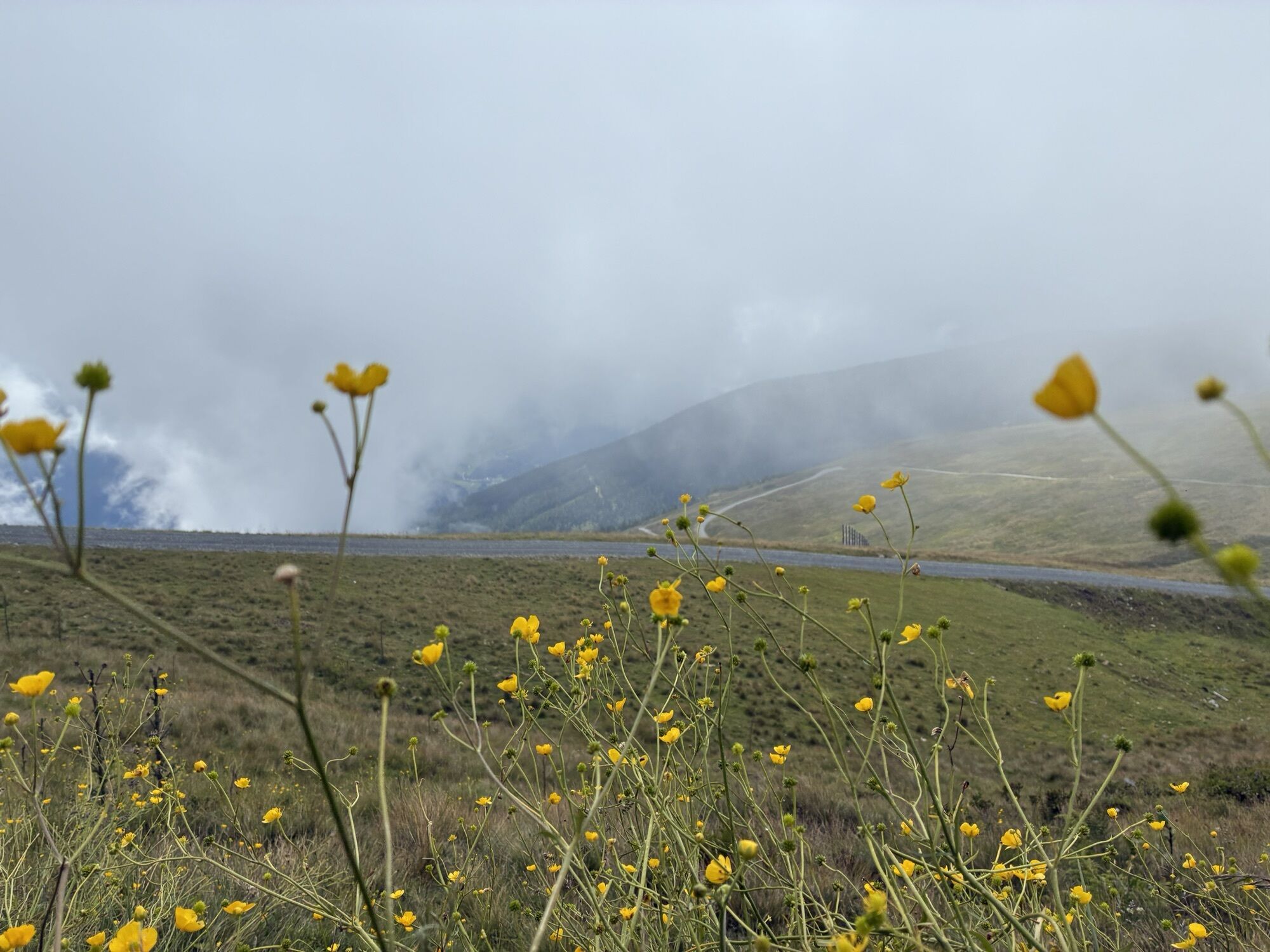
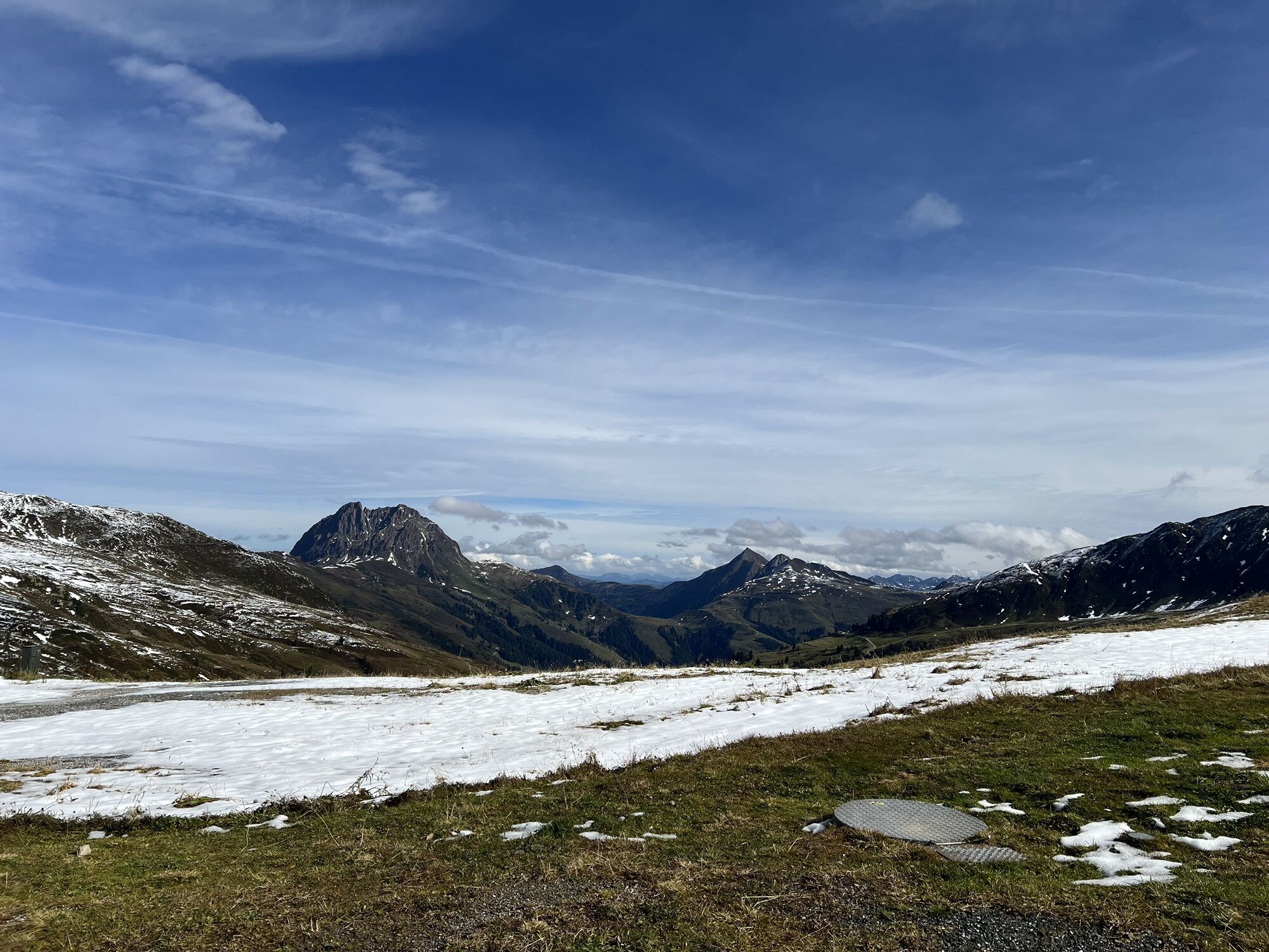
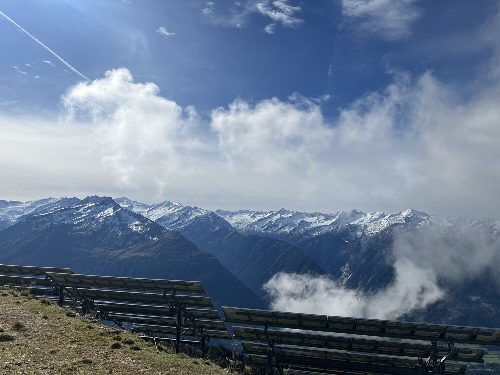
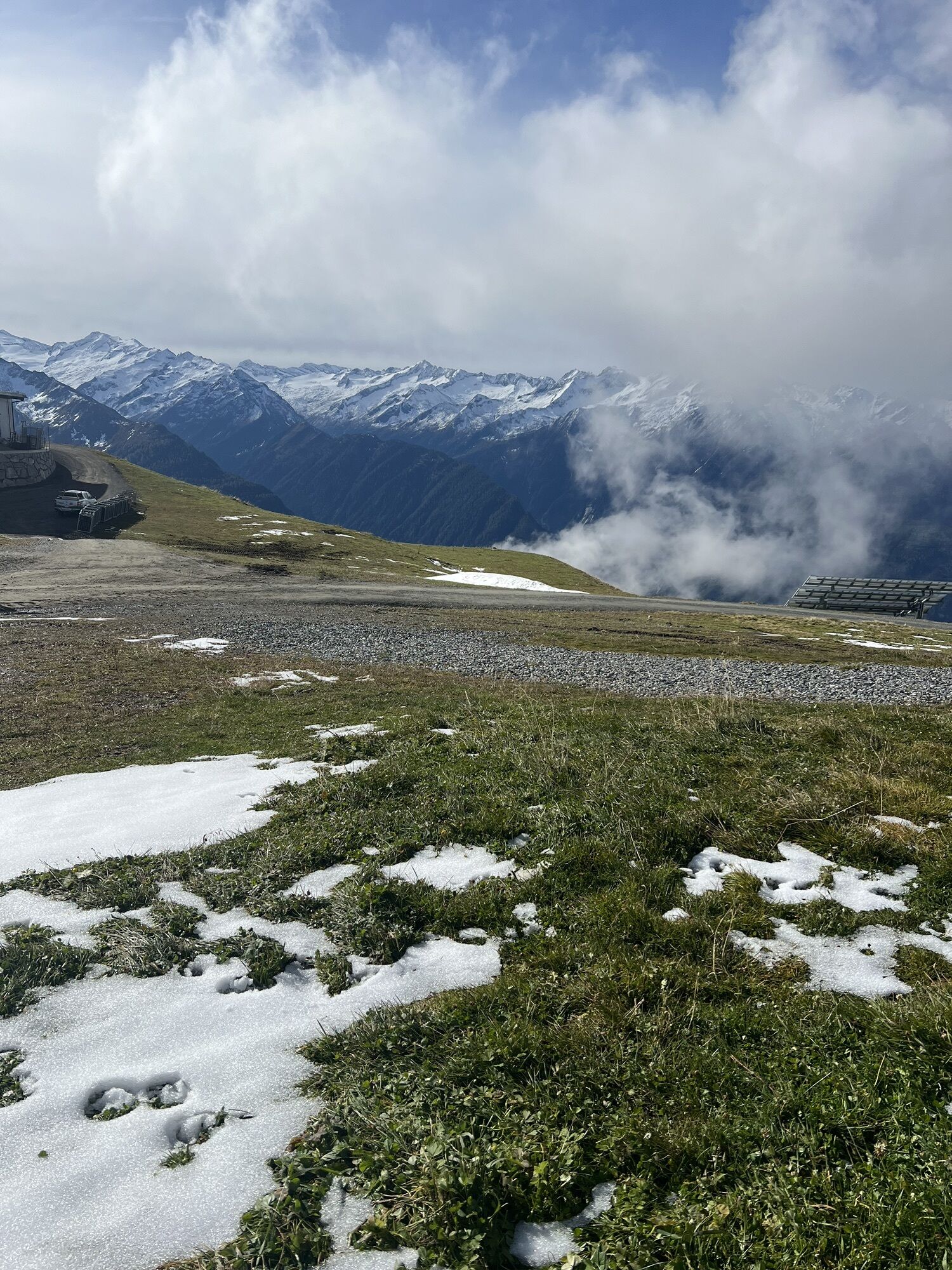
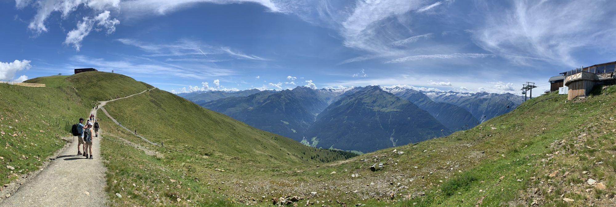

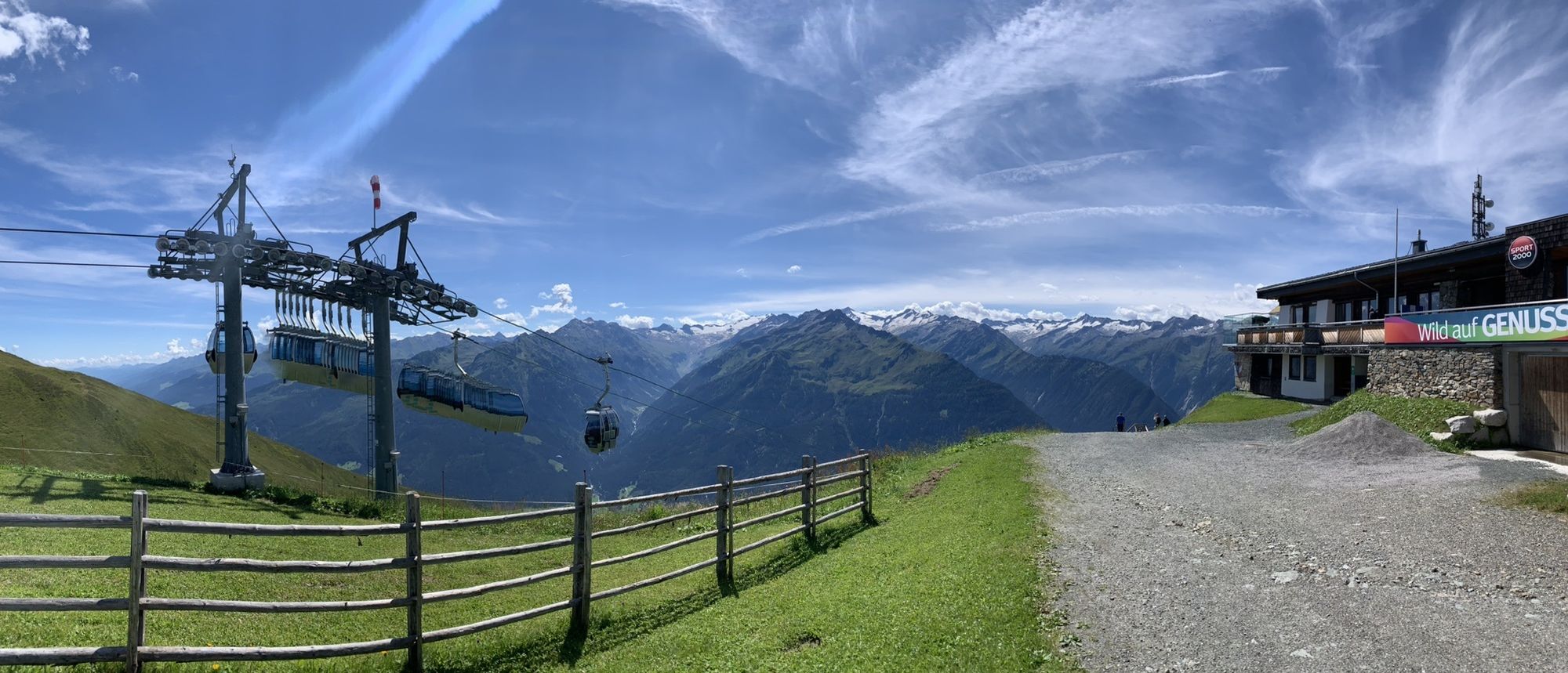
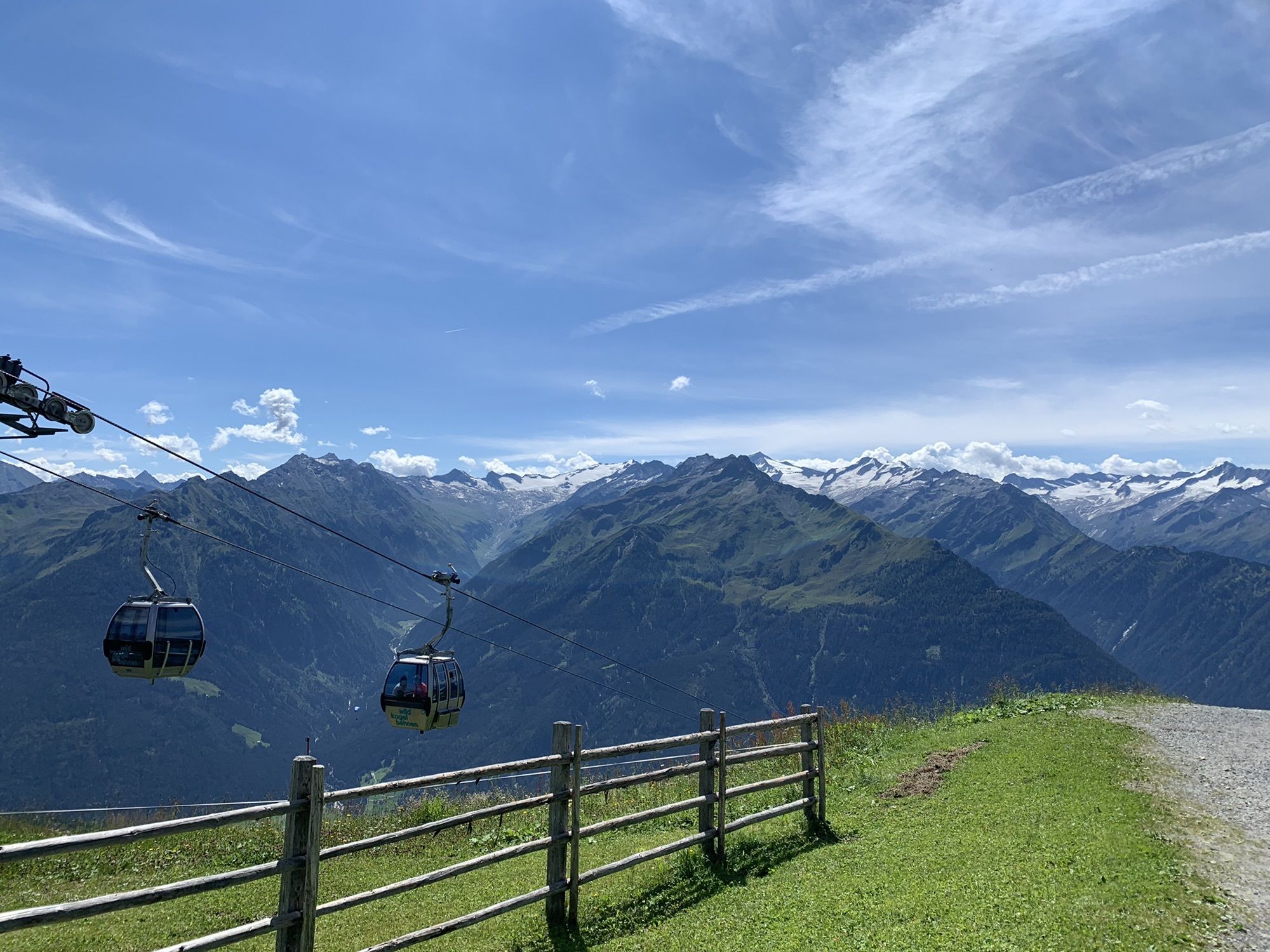
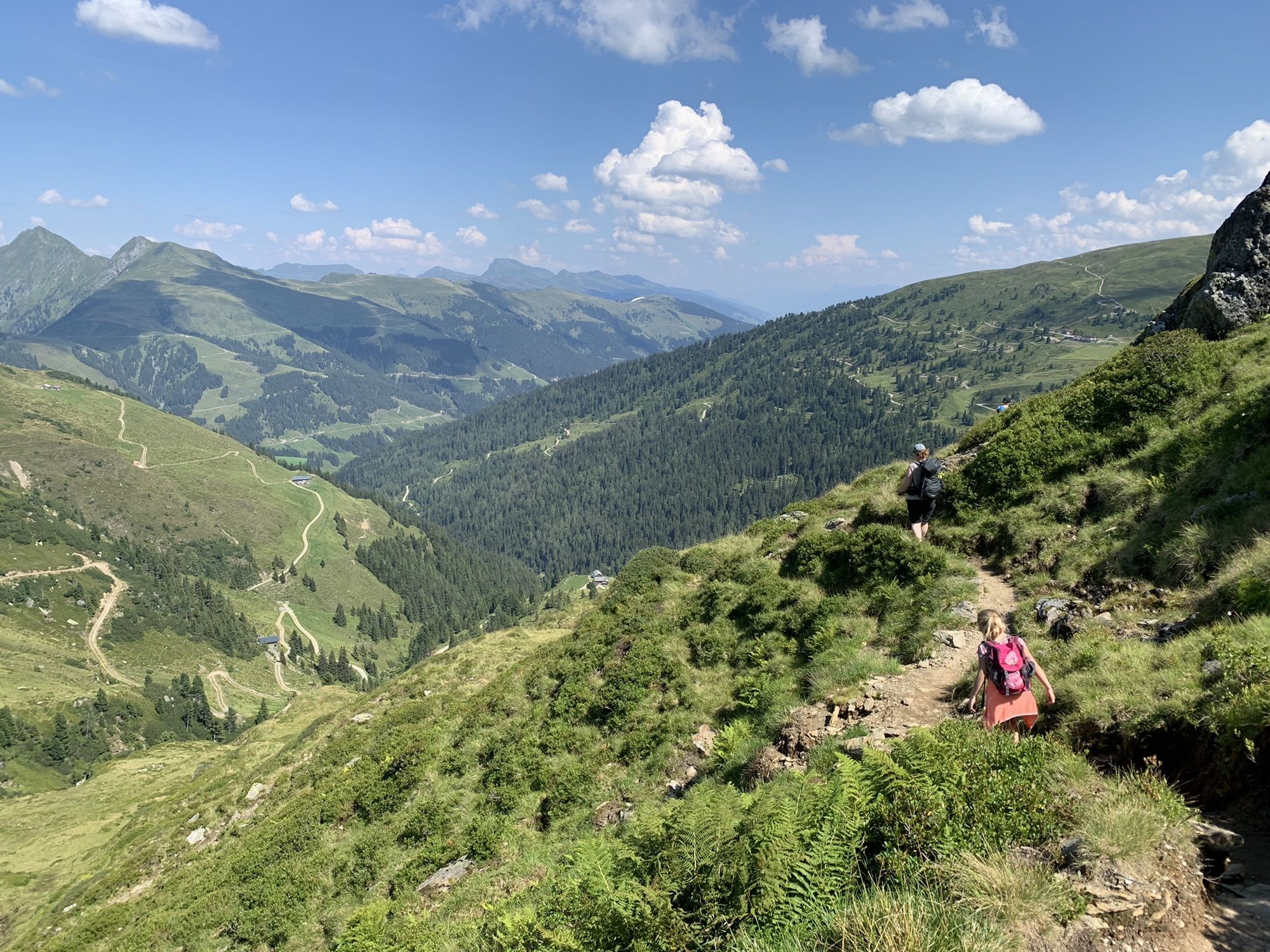
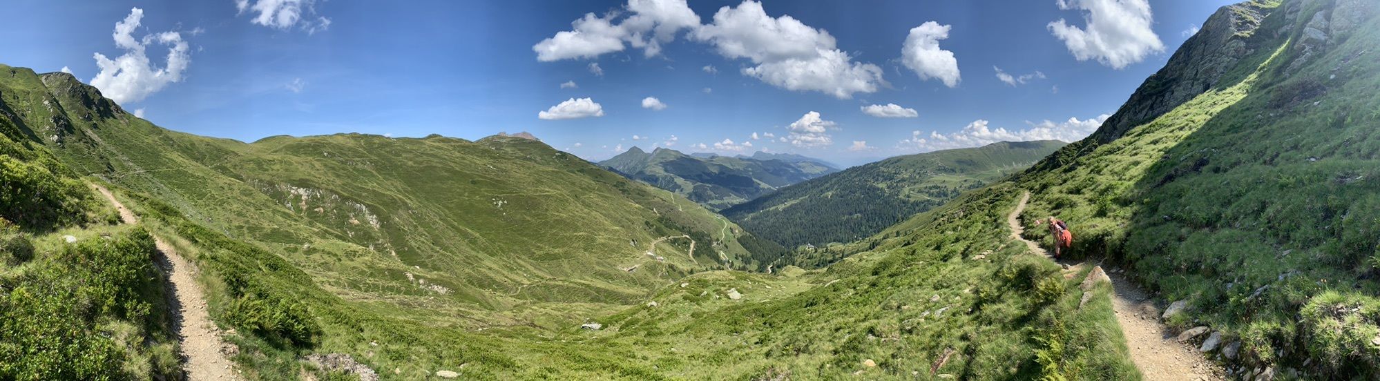

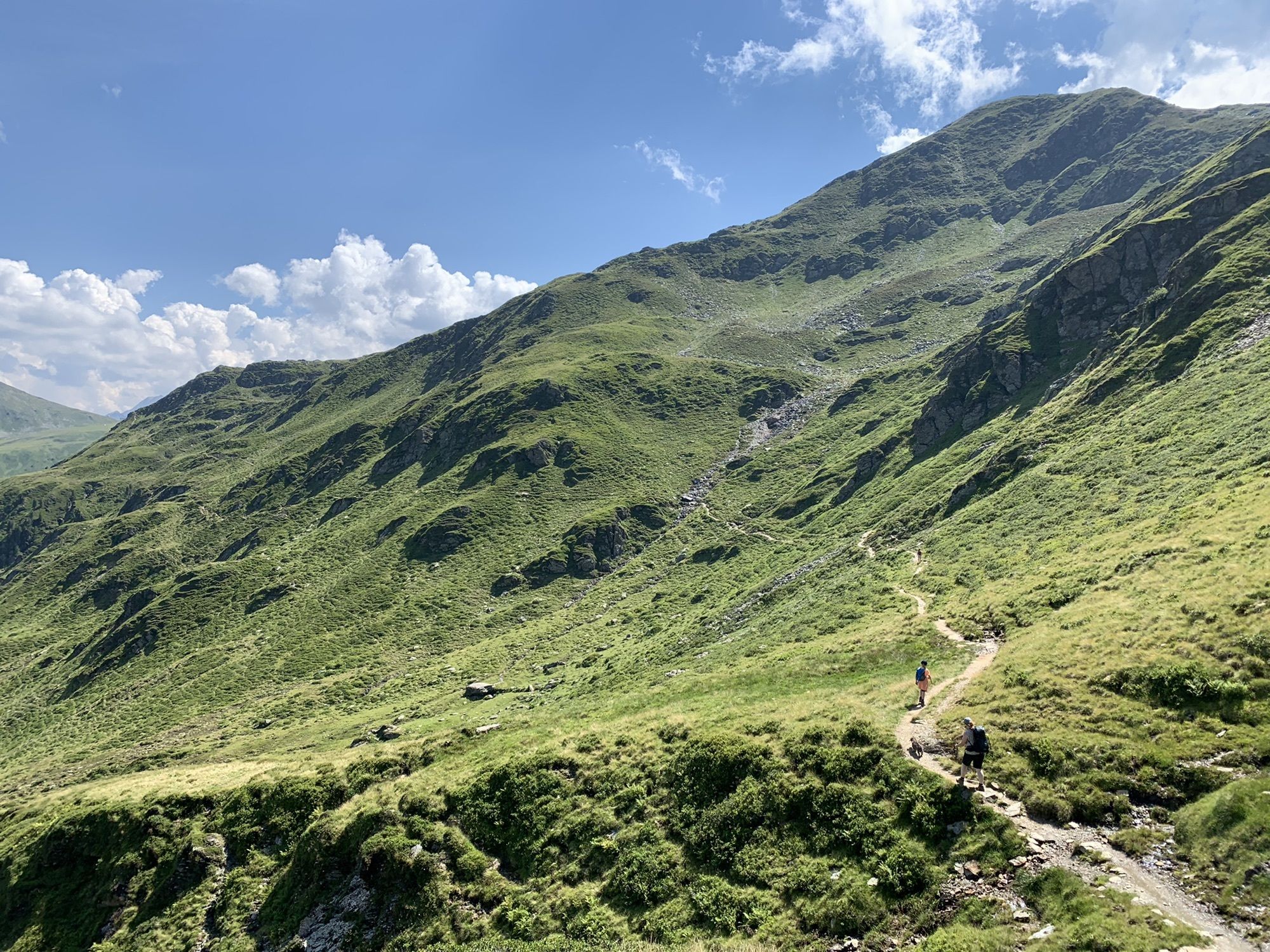
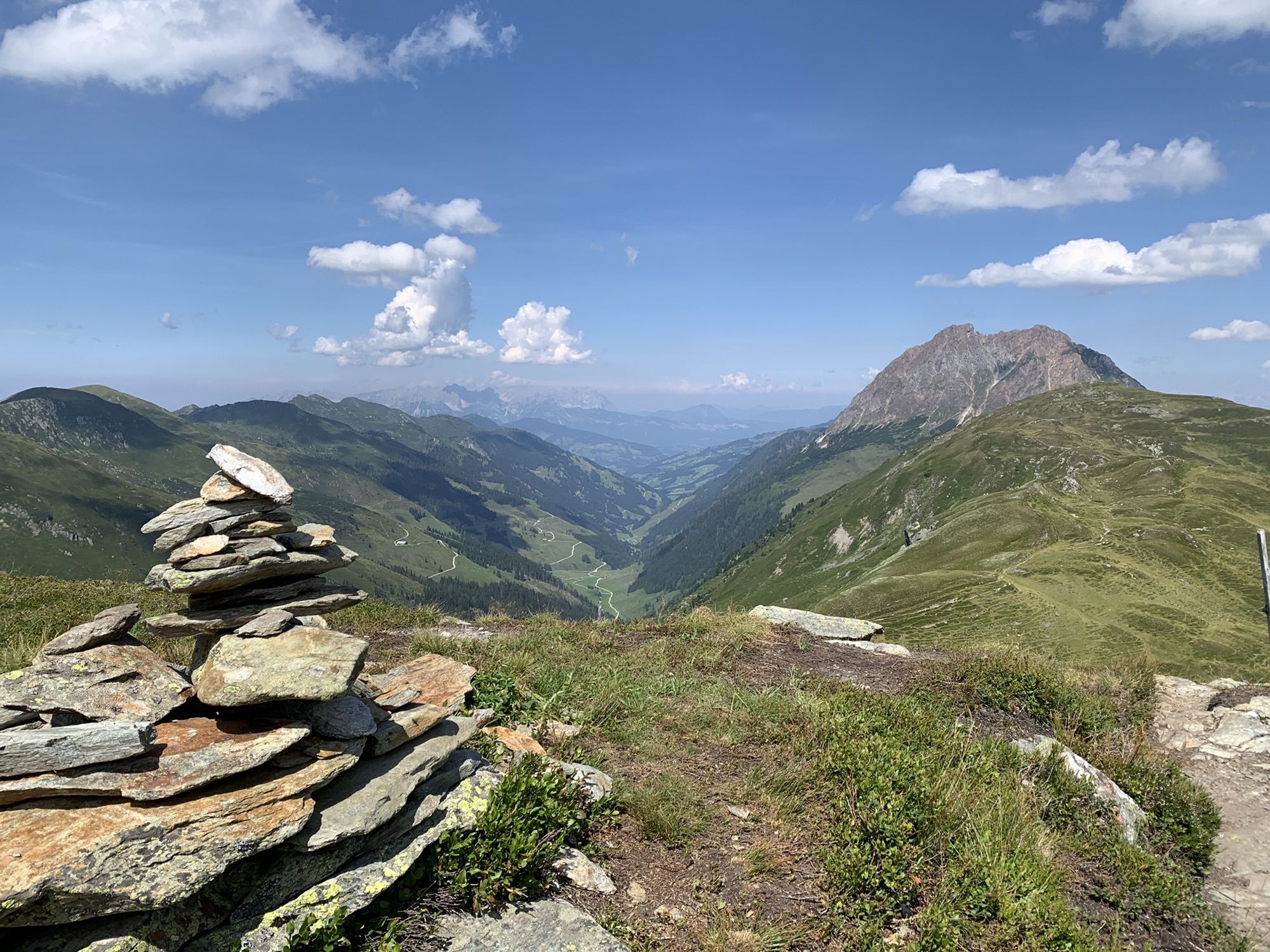
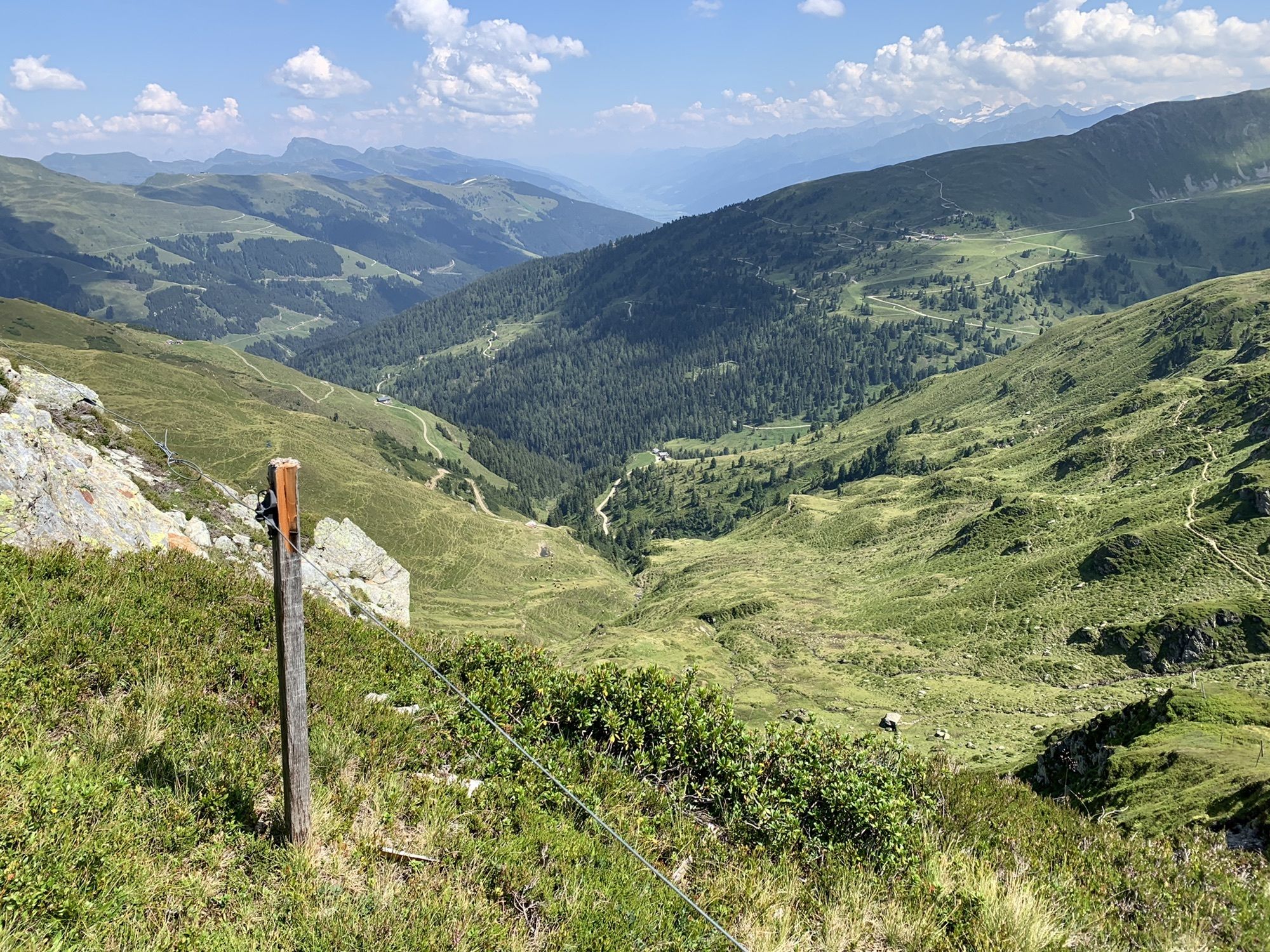
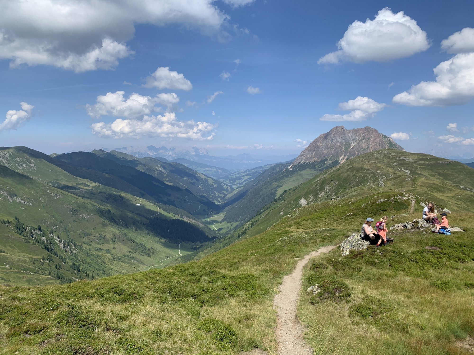
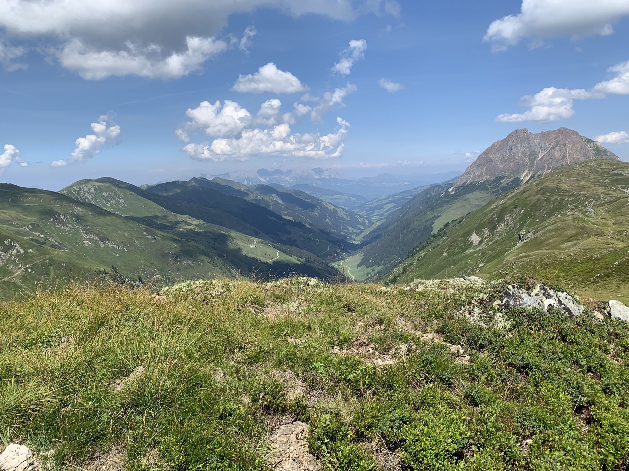
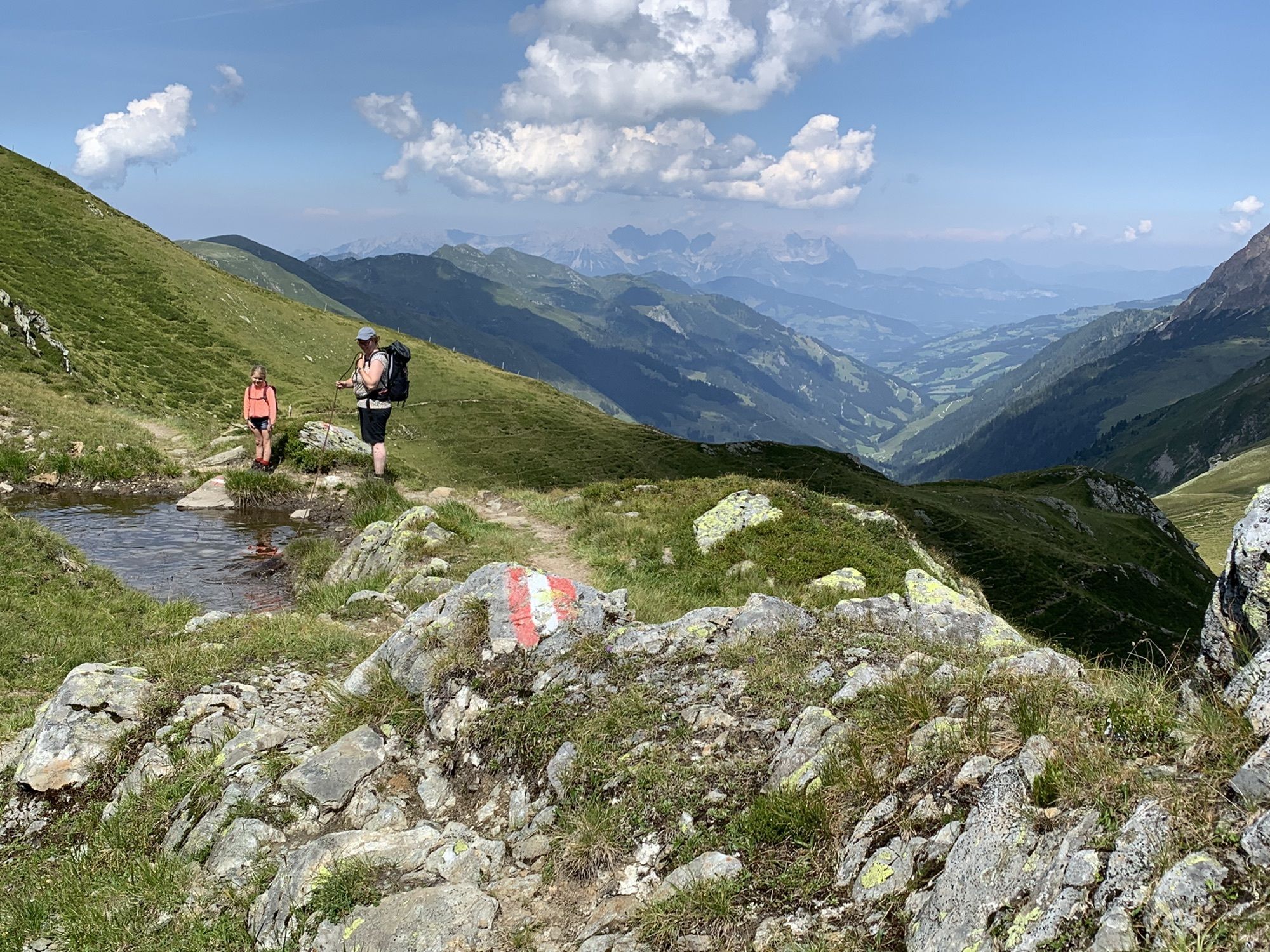
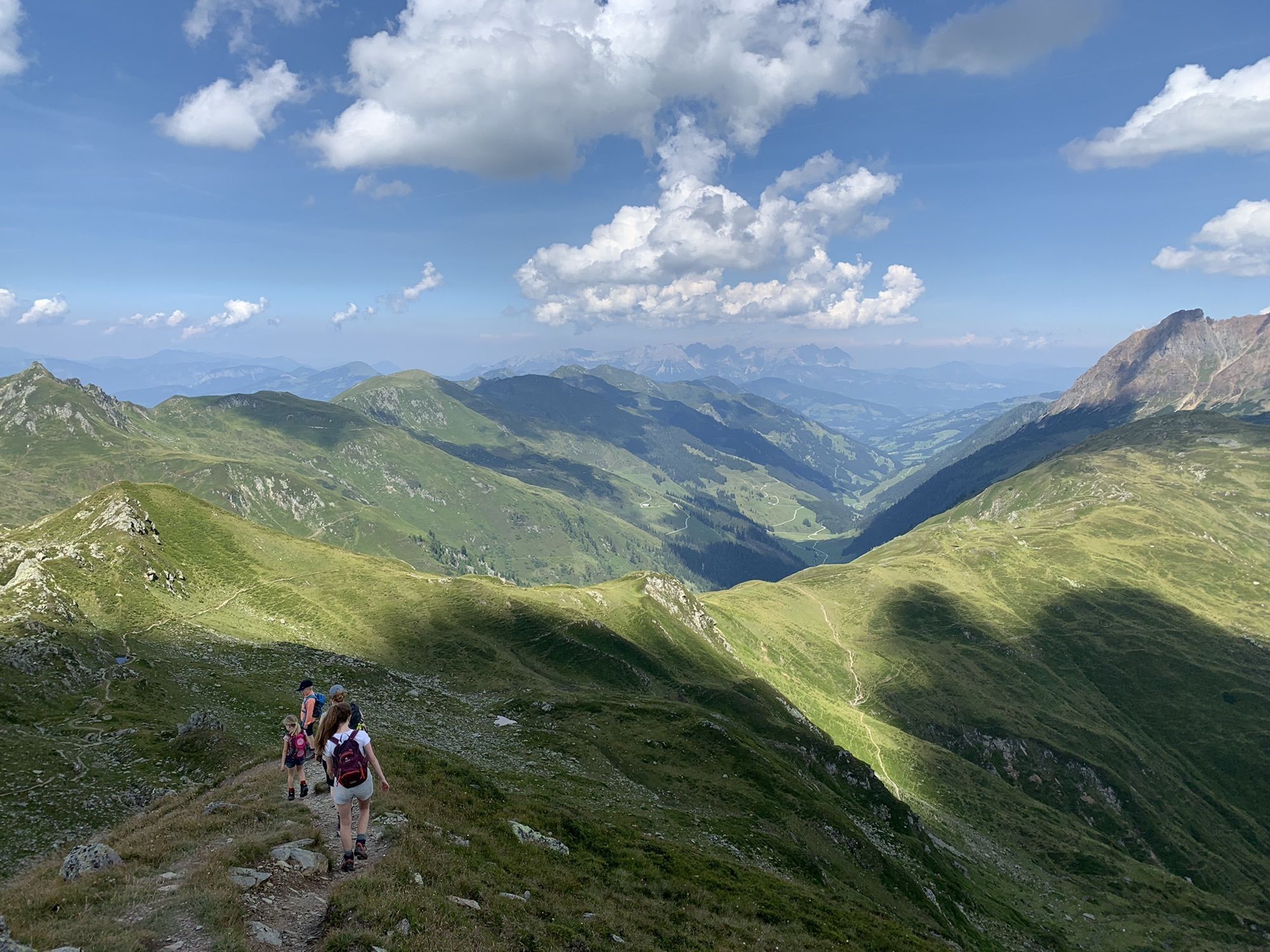
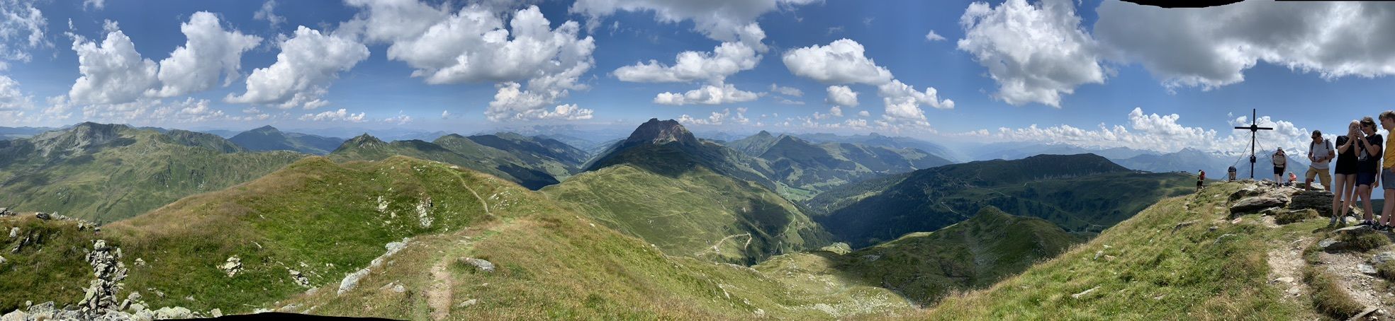
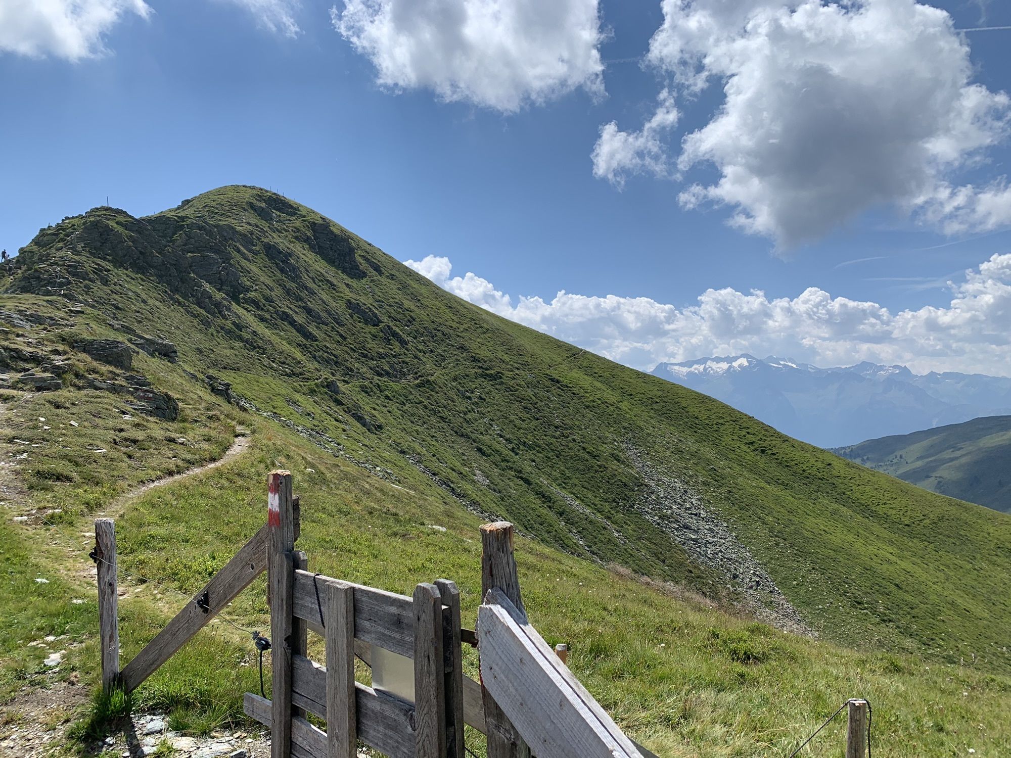
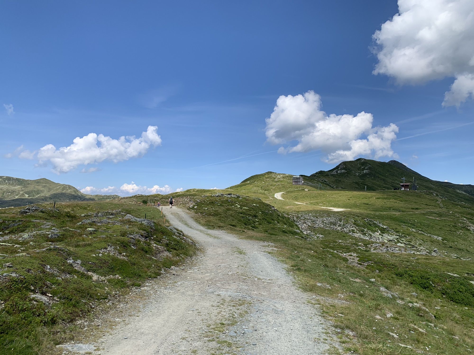
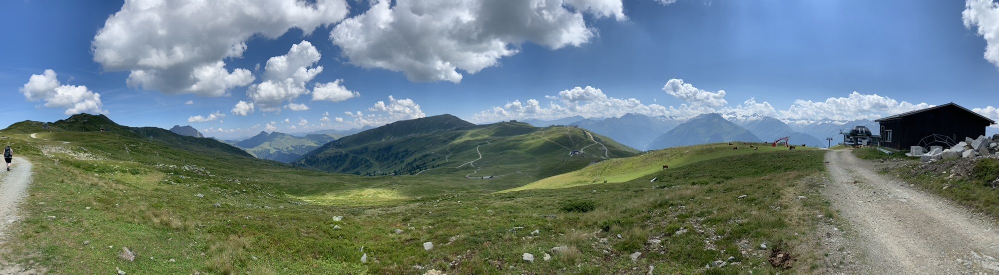
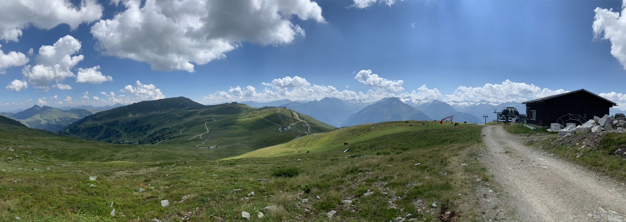
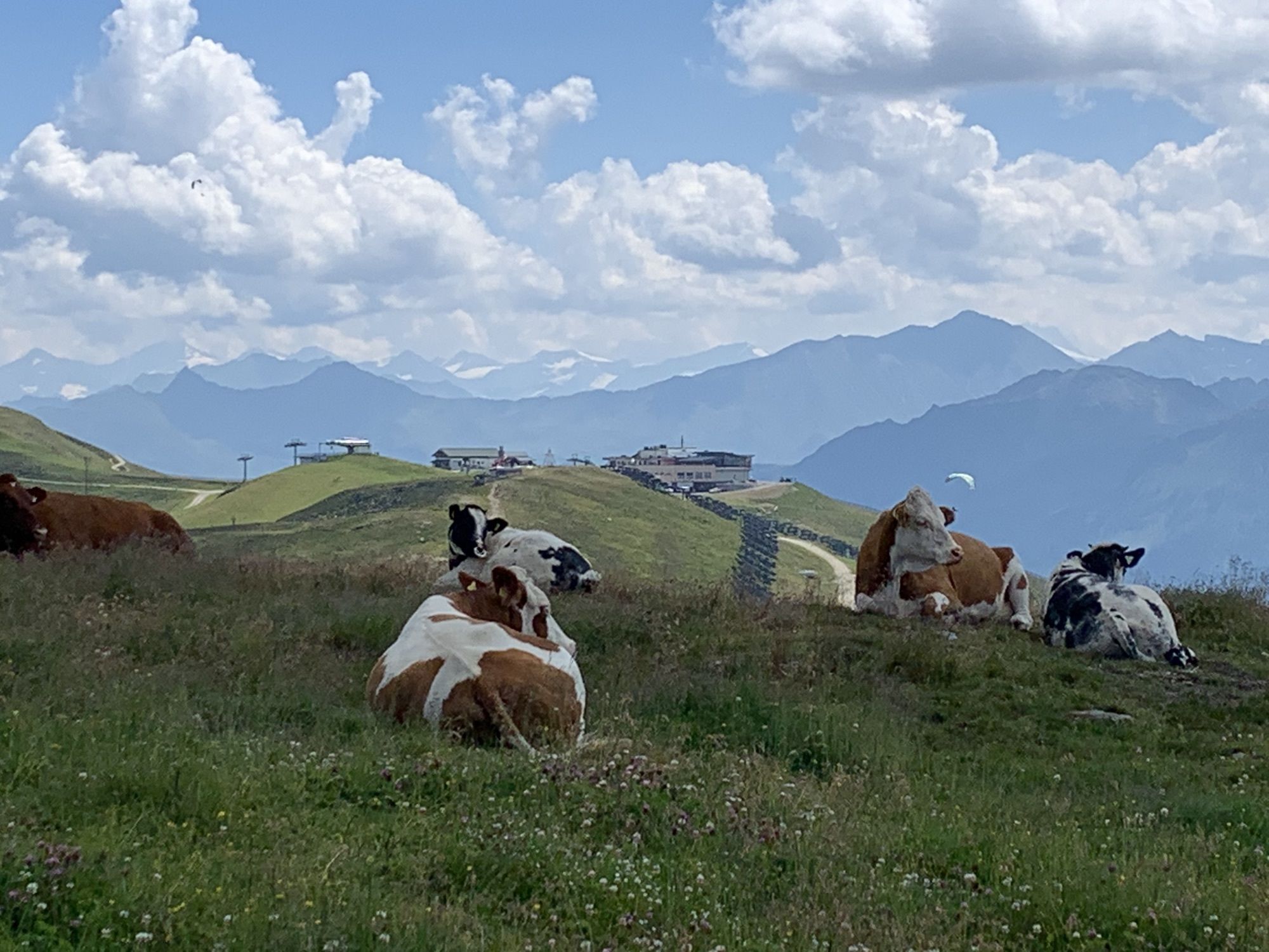
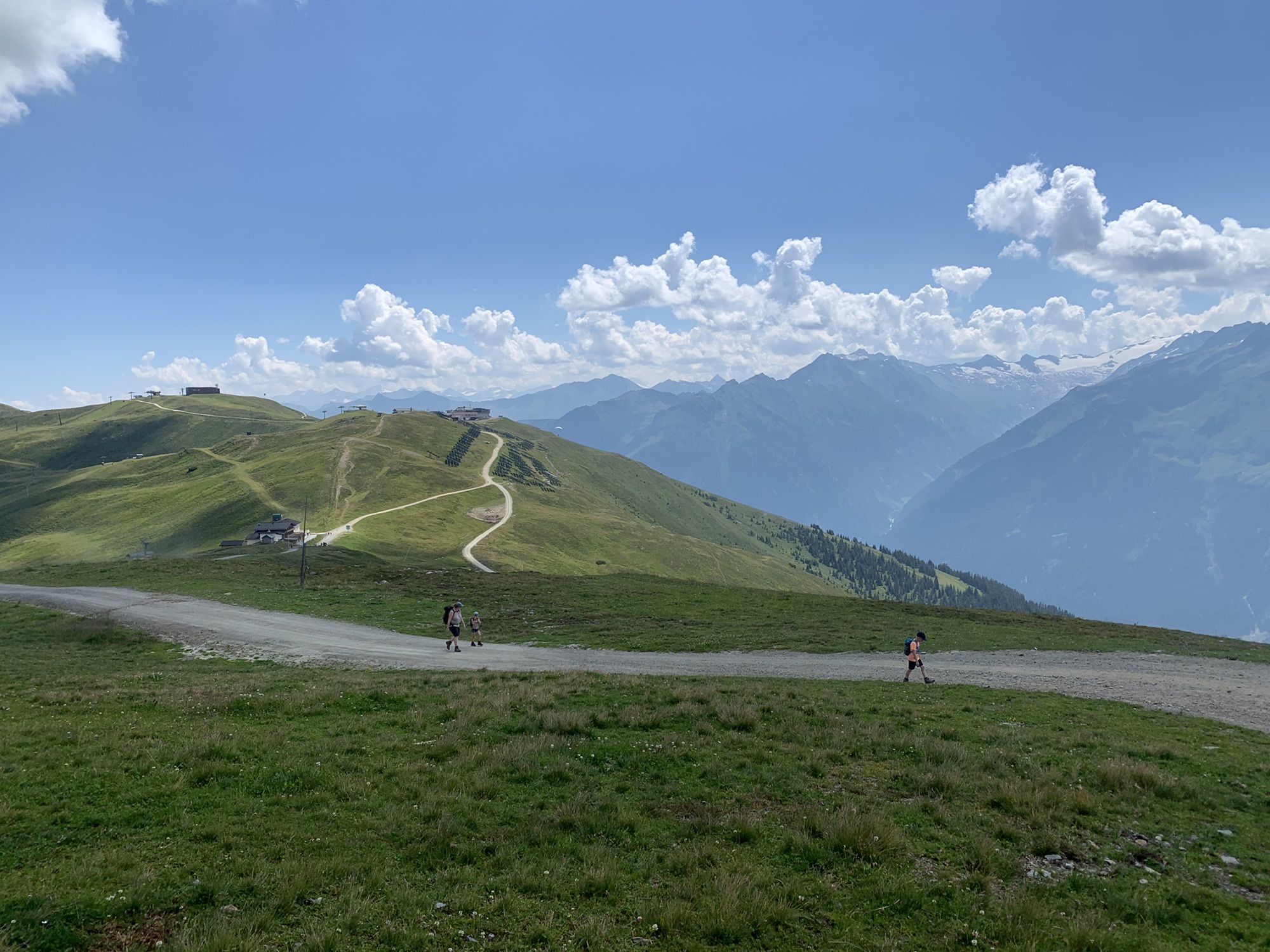
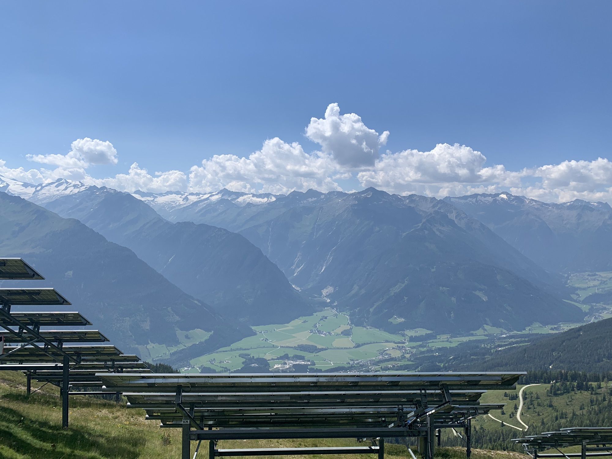
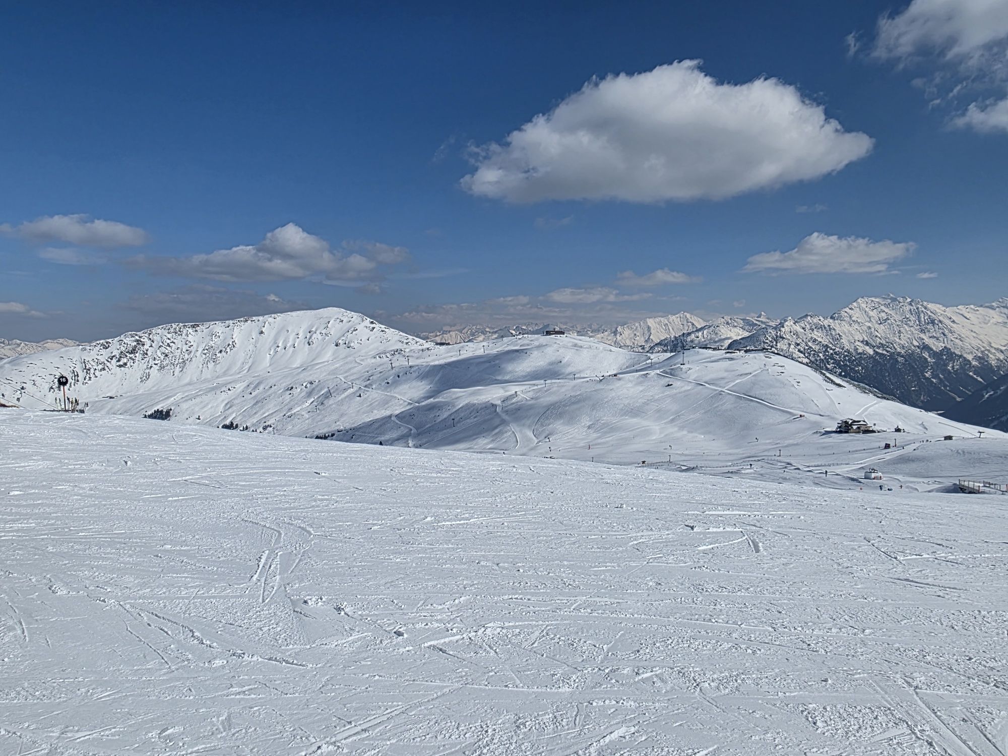
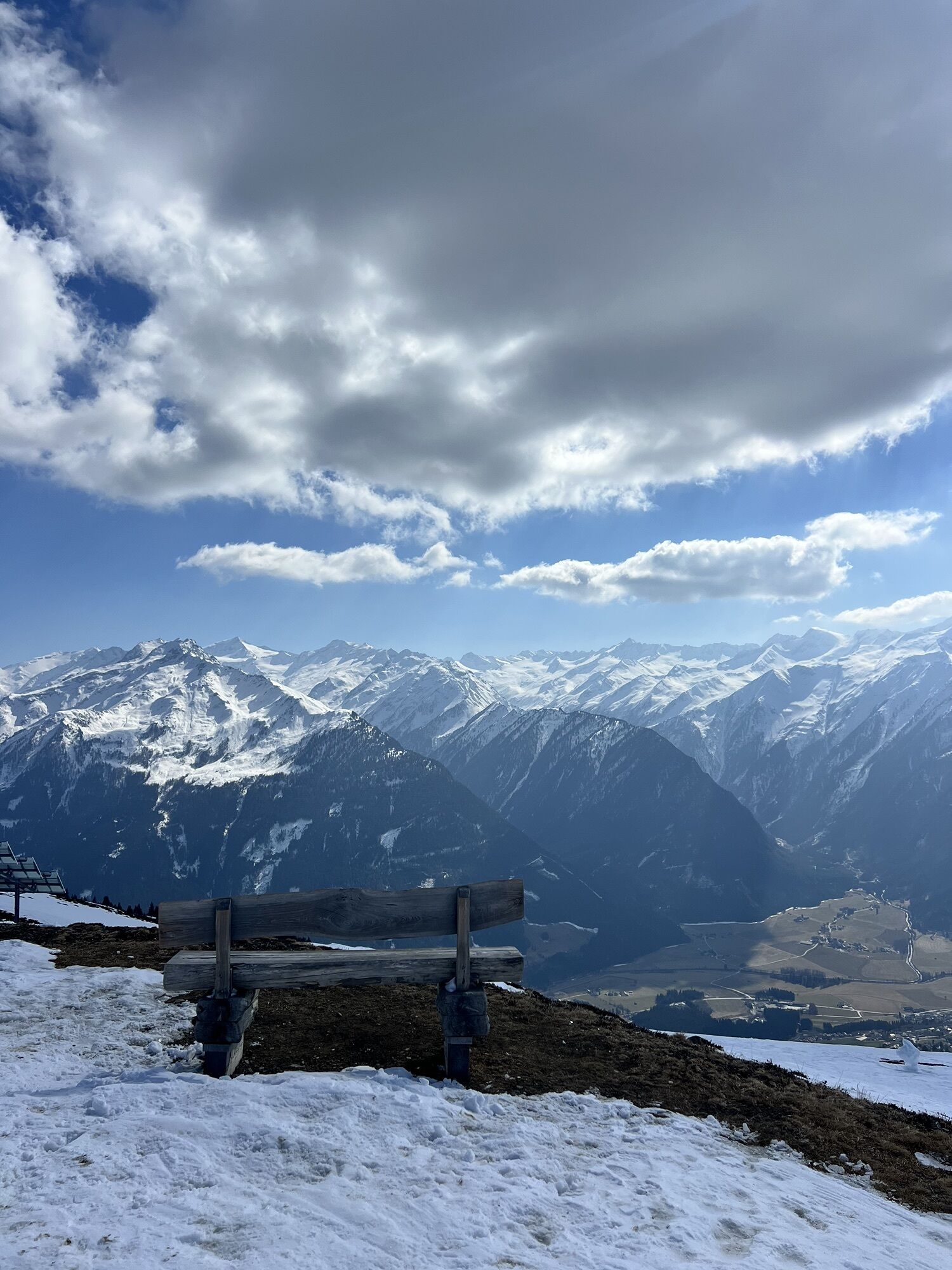
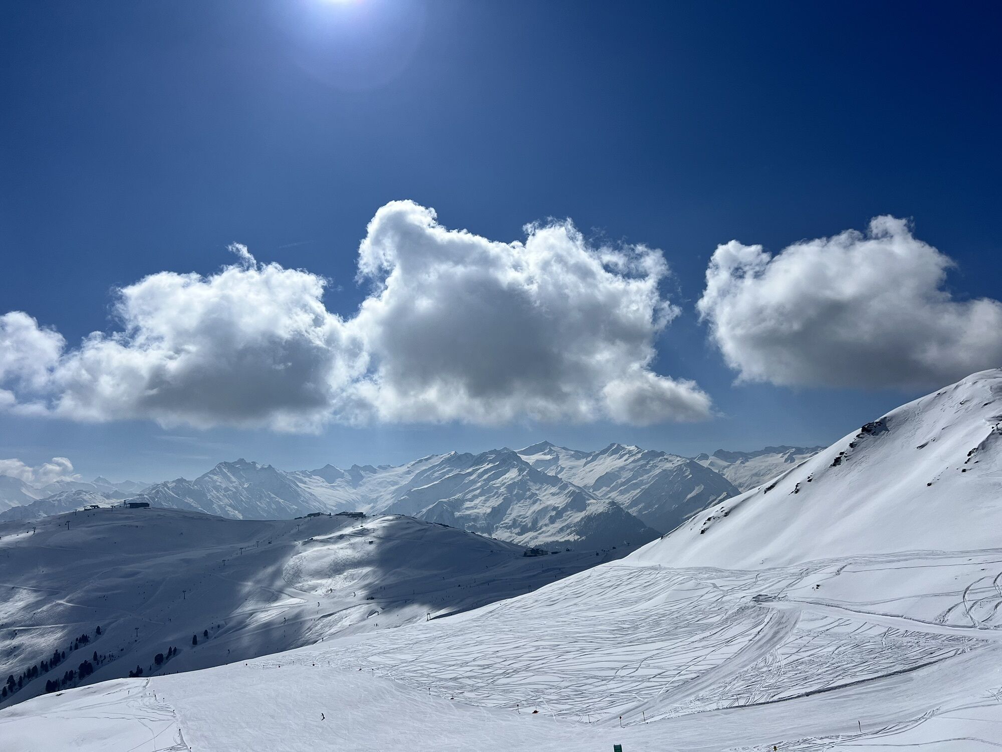
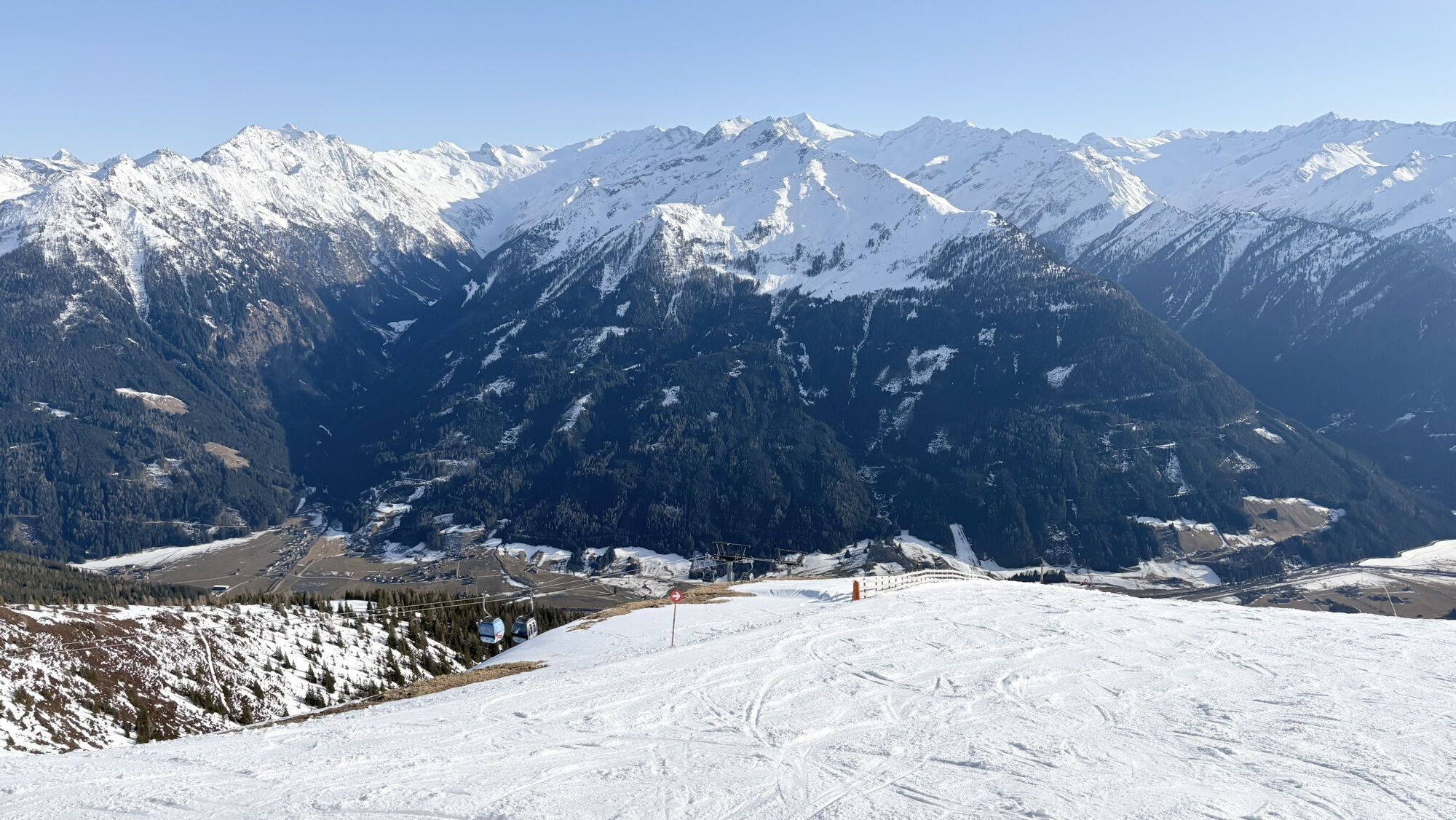
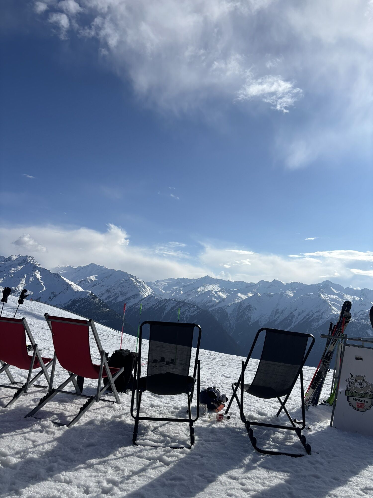
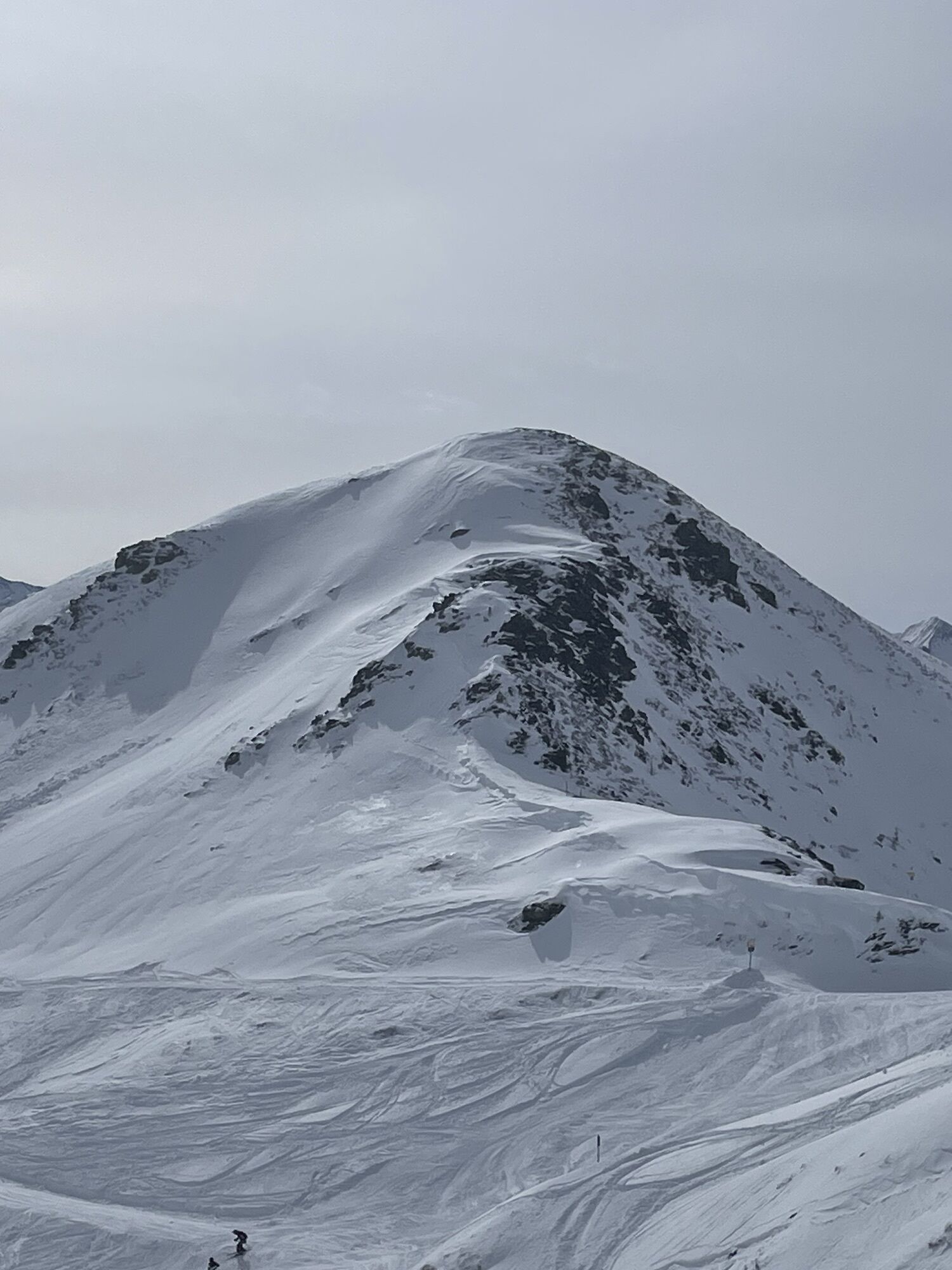
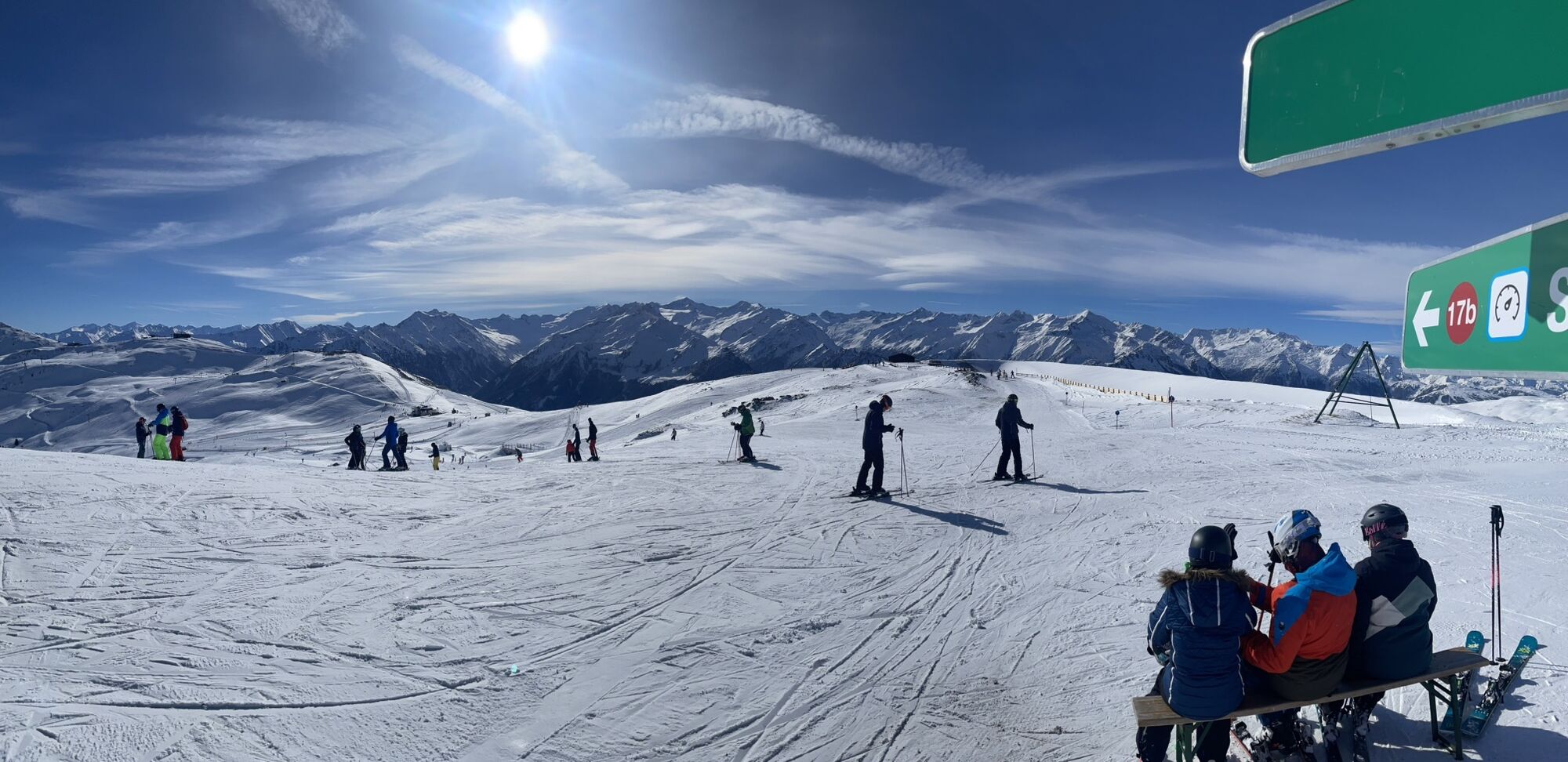
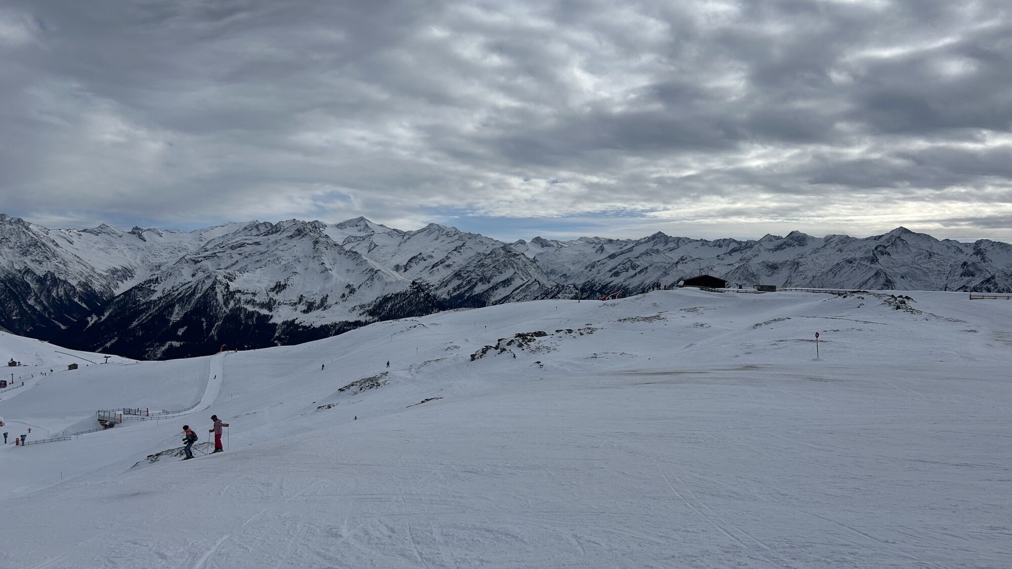
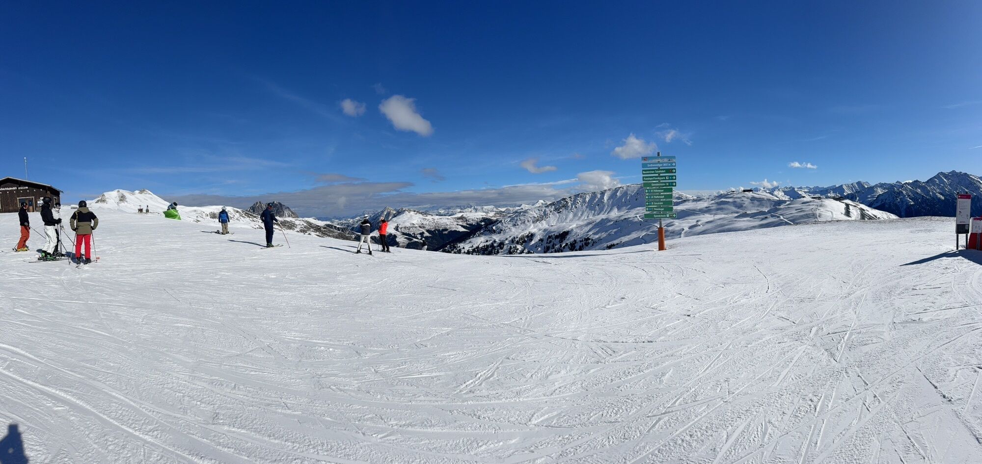
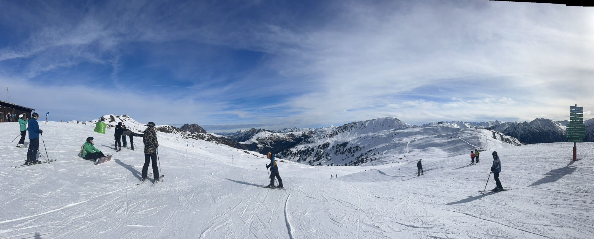
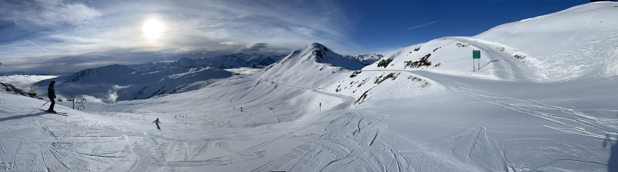
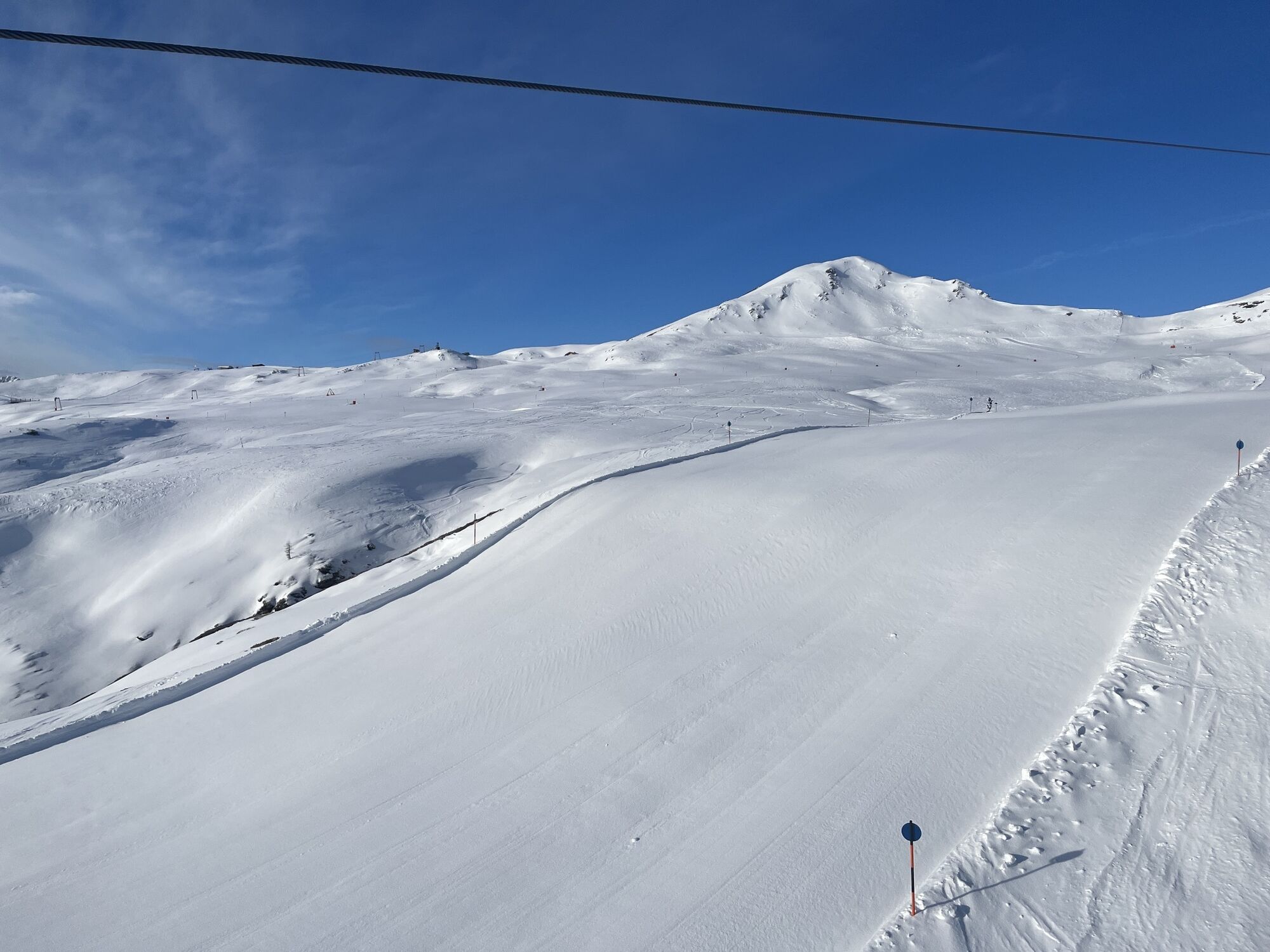
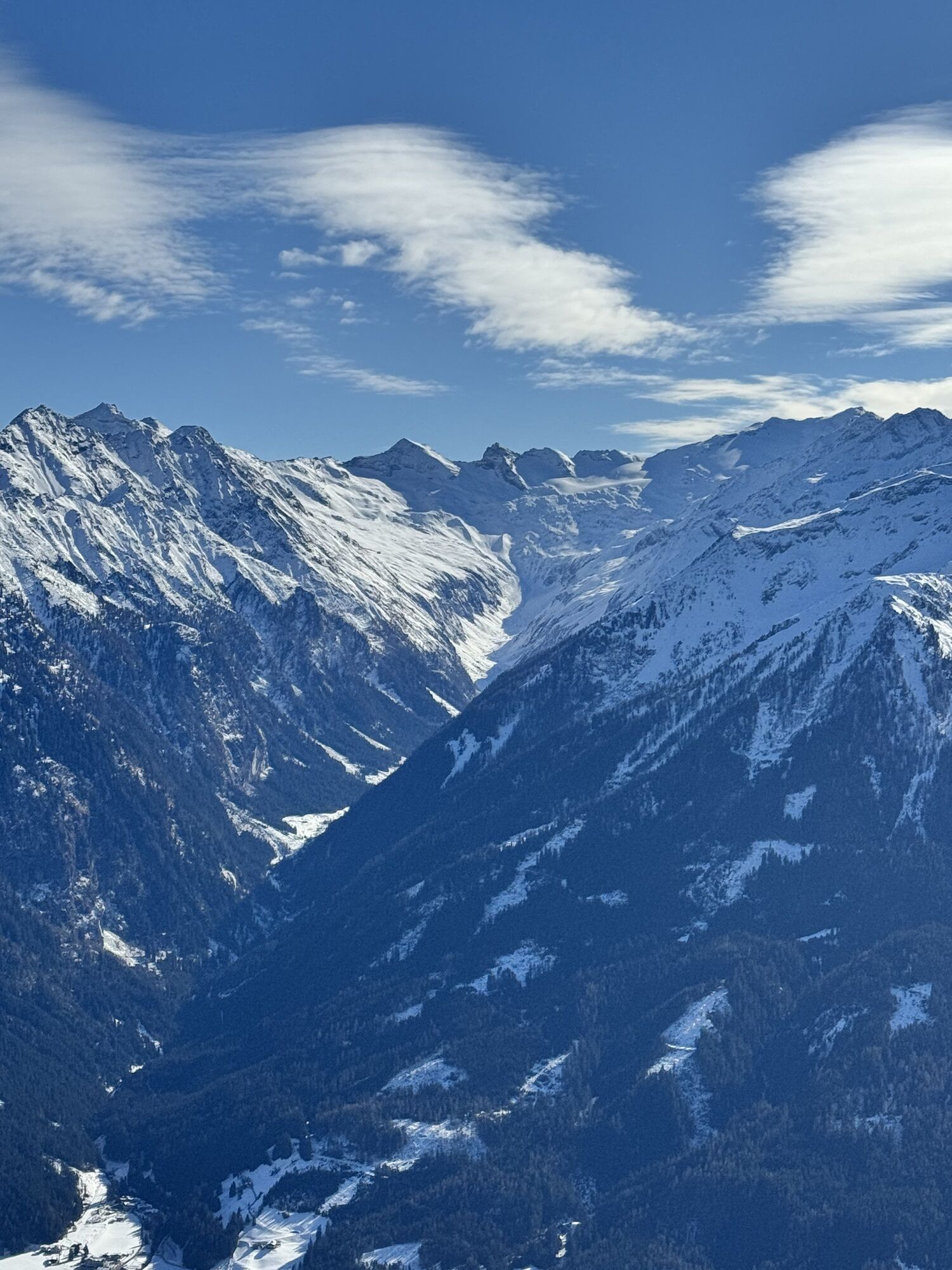
The path leads from the mountain stations Wildkogelbahn & Smaragdbahn westward to the Gasthof Wolkenstein (not managed). From there, it goes on the wide path past the mountain station of the Gensbichllift,...
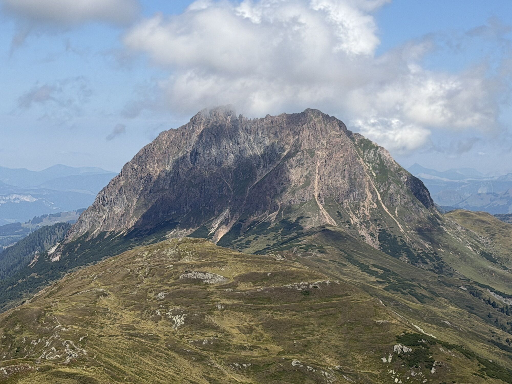
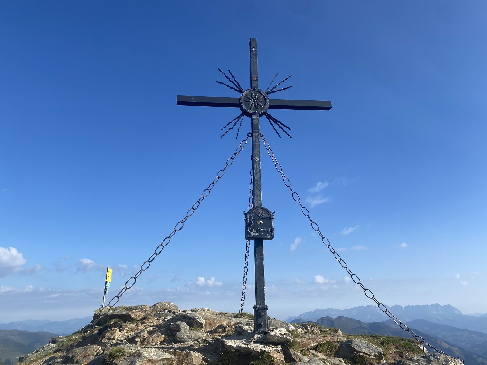
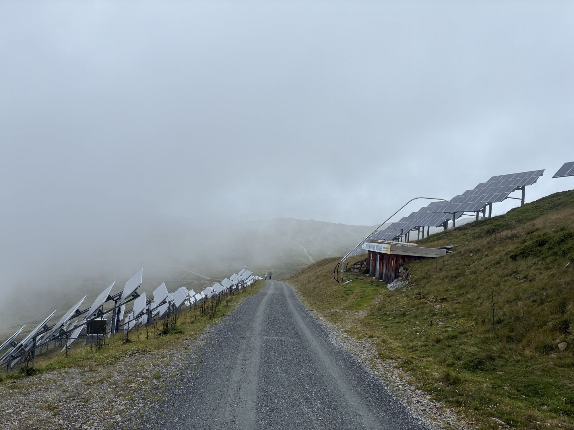
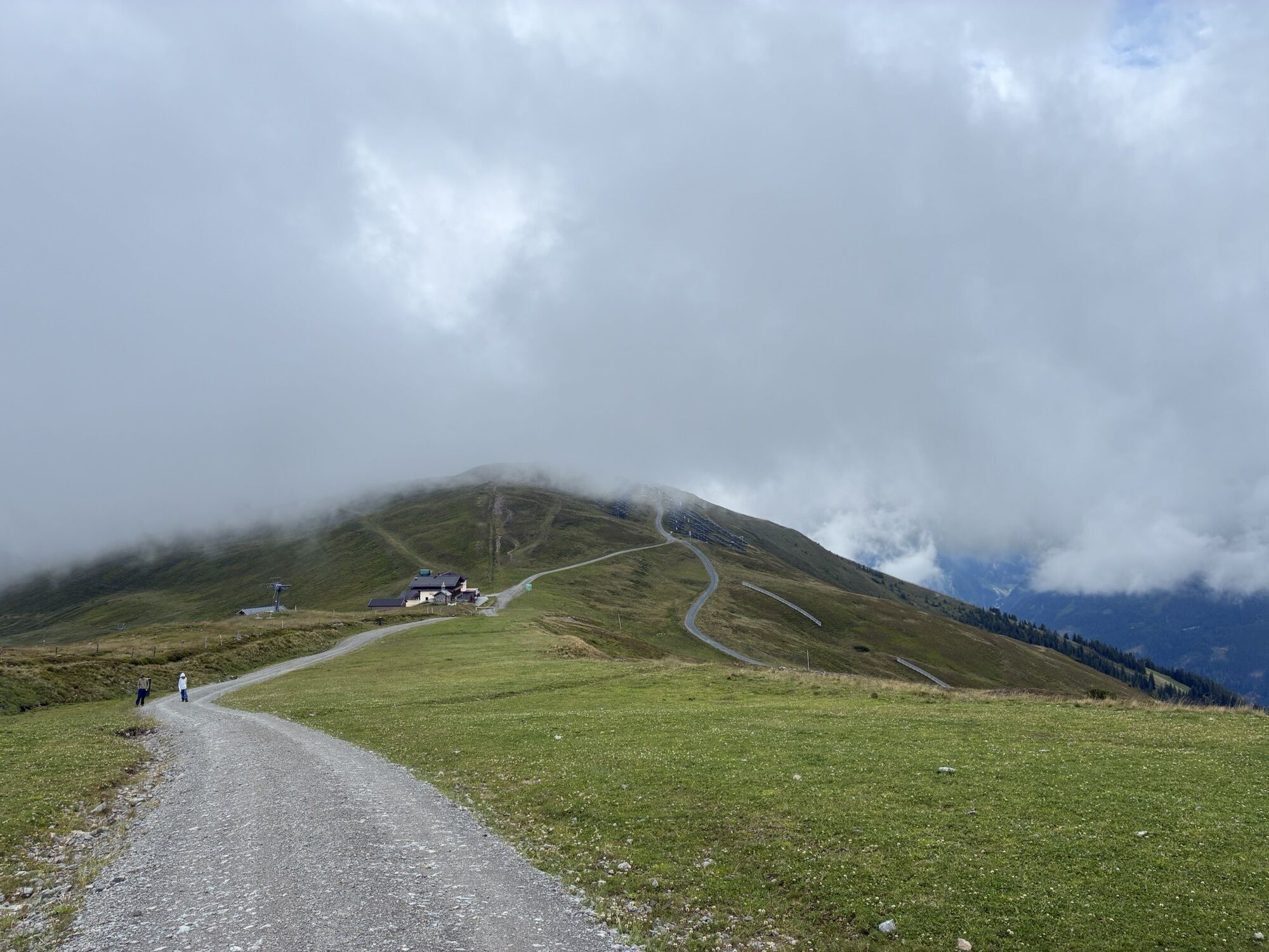
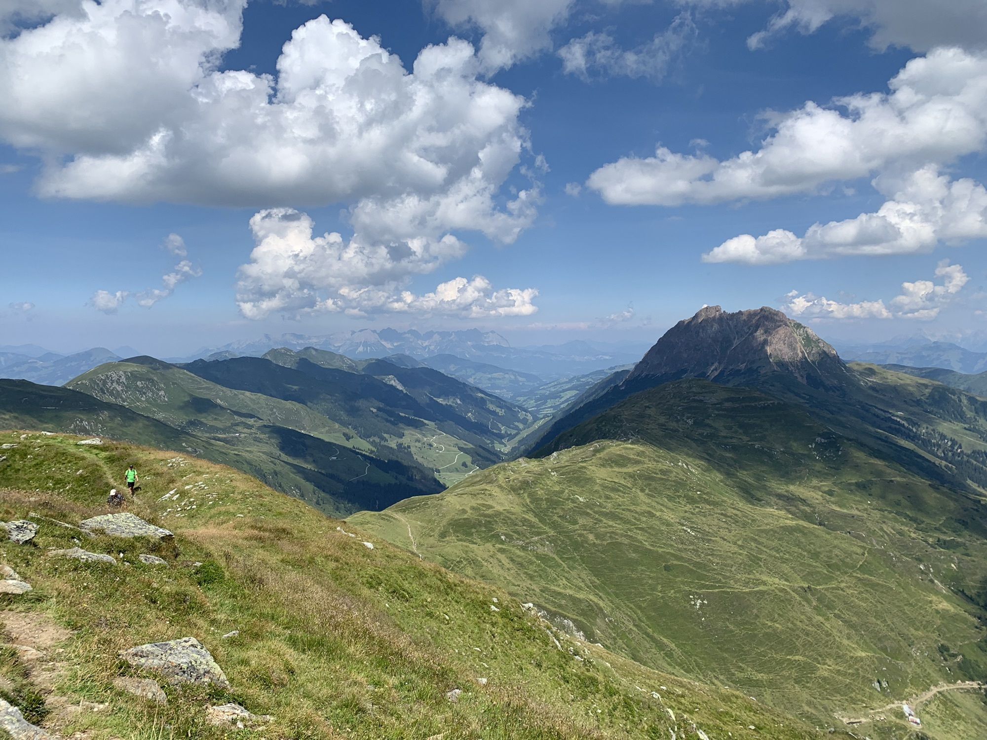
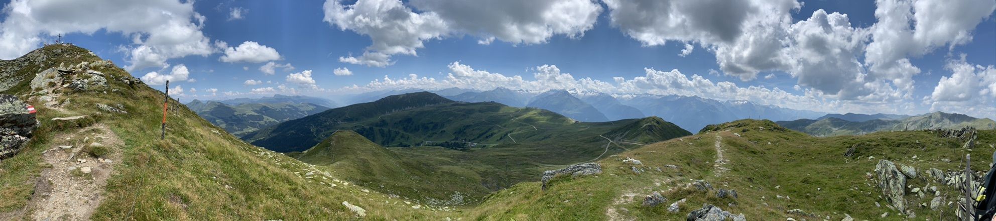
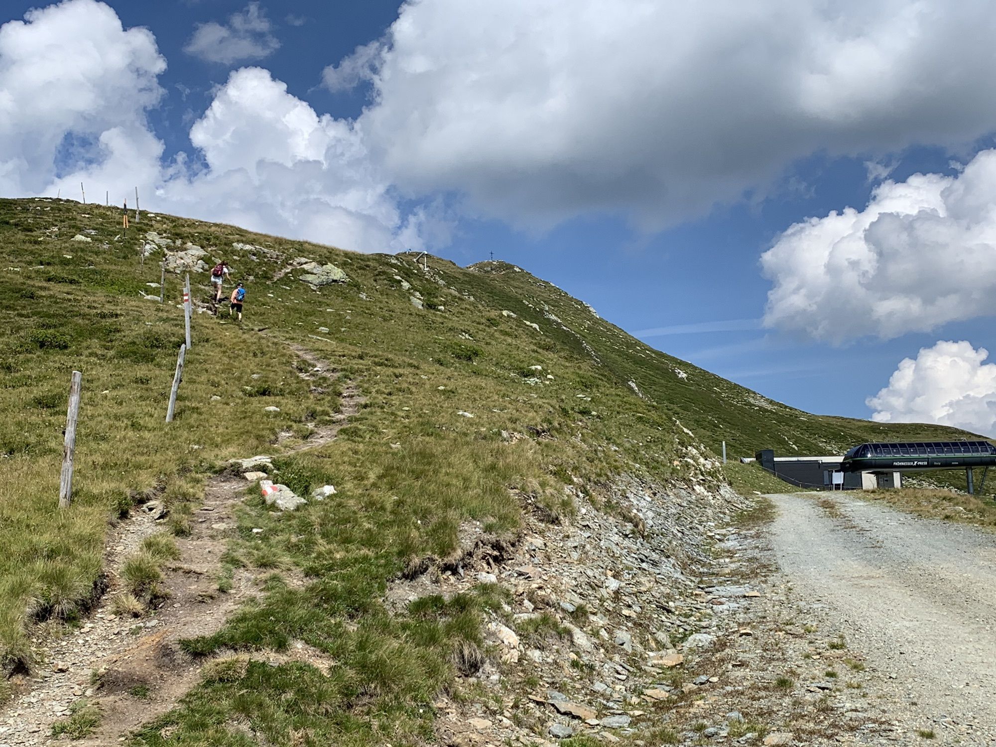
The path leads from the mountain stations Wildkogelbahn & Smaragdbahn westward to the Gasthof Wolkenstein (not managed). From there, it goes on the wide path past the mountain station of the Gensbichllift, over the Braunkogel to the Frühmesser. On the other side of the summit, it goes down to the Grasleitenkopf. Then you hike over the Herrensteigscharte on the moderately ascending hiking trail back to the Gasthof Wolkenstein and further to the mountain stations.
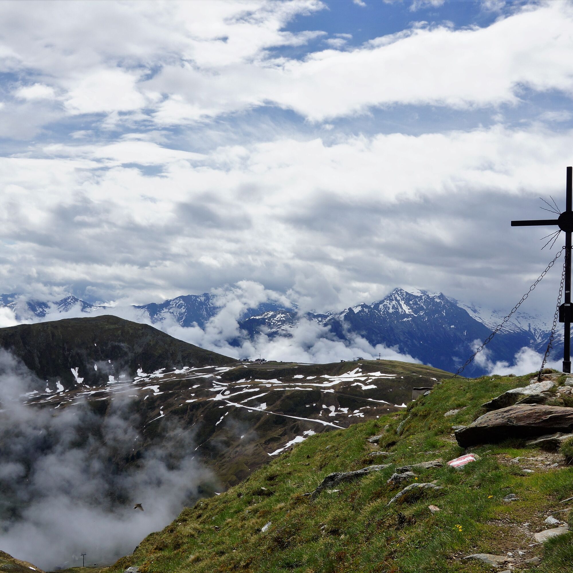
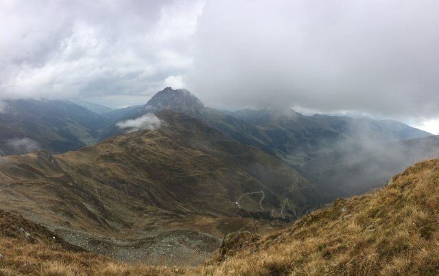
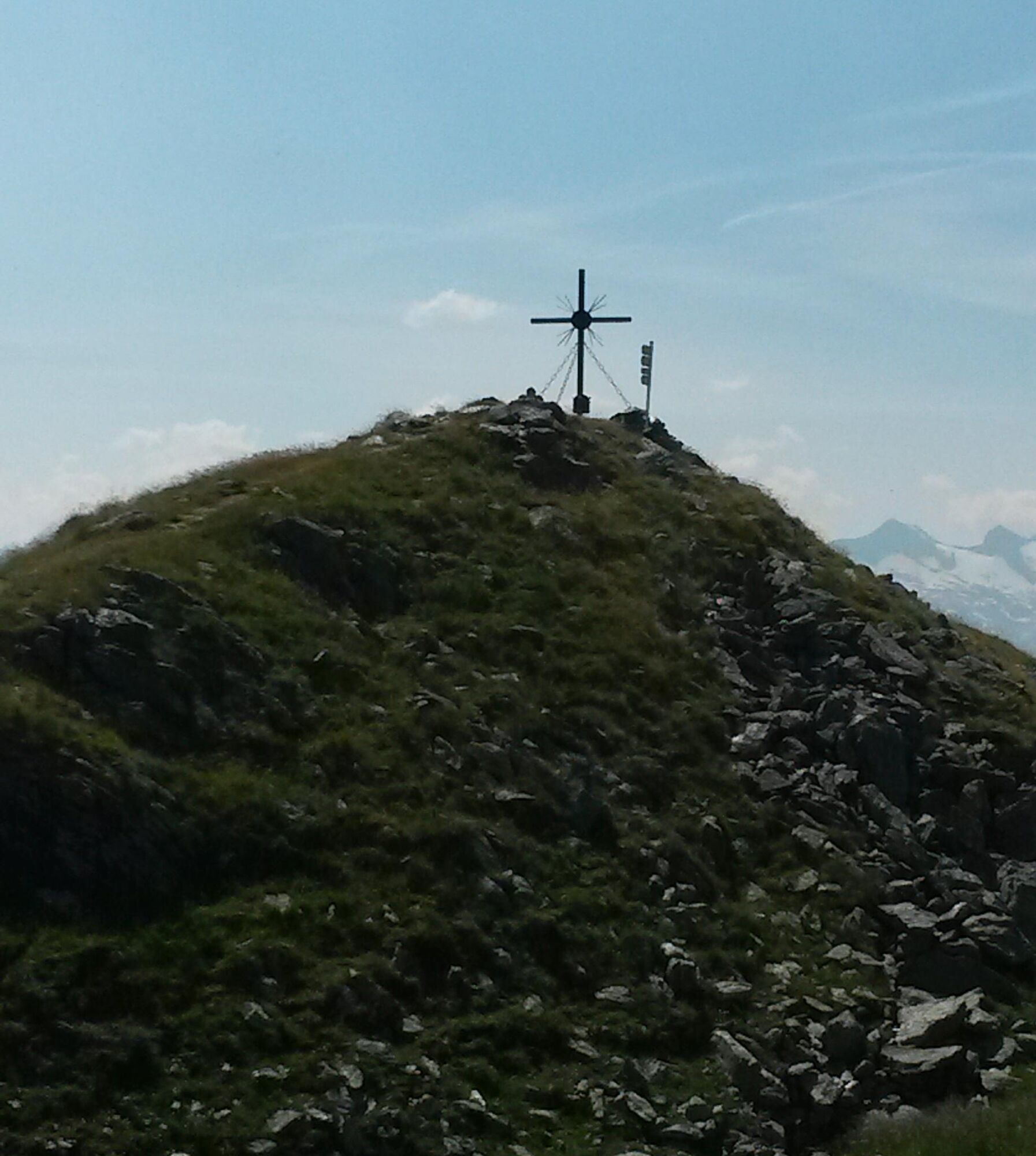
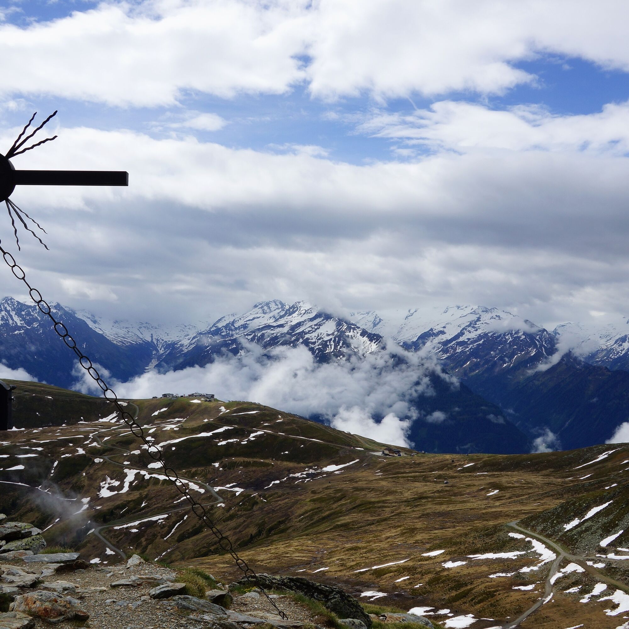

Frühmesser Circular Route
Path No. 11A, Path No. 740
Duration: approx. 2:45h (circular route)
Lowest point: 1,980 m, Highest point: 2,233 m
Ano
Ano
Comfortable hiking or leisure clothing with sturdy footwear.
Do not leave marked hiking trails – dogs must be kept on a leash!
Along the B 165 towards Krimml, after leaving Neukirchen, the valley station of the Wildkogelbahn Neukirchen is on the right side.
Ascent with the Wildkogelbahn Neukirchen.
The public bus stop Neukirchen town center is a few minutes' walk from the valley station of the Wildkogelbahn Neukirchen.
Free parking spaces are available at the valley stations of the Wildkogelbahnen Neukirchen and the Smaragdbahn Bramberg.
Wildkogel Arena
Tourism offices Neukirchen and Bramberg
Tel. +43 (0) 720 710 730 info@wildkogel-arena.at
For summit attackers, a detour from the Herrensteigscharte to the Gamsbeil (2,169 m – one way approx. 30 min.) is worthwhile.

Webové kamery z prohlídky



Oblíbené prohlídky v okolí
-
3.7
Smaragdwanderweg Habachtal/Bramberg
světloTuristika 7.17 km -
4.9
Route 209: Brechhornhaus-Choralpe
heavyMountainbike 24.4 km -
4.4
Krimml Waterfall Path - Panorama Viewing Path
středníTuristika 5.71 km -
4.6
Kröndlhorn (2.444m)
heavyTuristika 13.5 km -
4.1
Brechhorngipfel (2.037m)
středníTuristika 11.7 km -
4.3
Route 208: Windautal - Rotwandalm/Filzenscharte
heavyMountainbike 22.8 km -
4.6
Krimmlerwasserfälle
středníTuristika 10.5 km -
4.8
Ochsenkopf
středníTuristika 5.46 km -
5.0
Krimml: Zum Krimmler Tauernhaus
Mountainbike 12.4 km -
4.3
Plattenkogel (circular route)
středníTuristika 7.67 km
Pěší turistika a stopování


Nenechte si ujít nabídky a inspiraci pro vaši příští dovolenou
Vaše e-mailová adresa byl přidán do poštovního seznamu.





