


Plattenkogel (circular route)
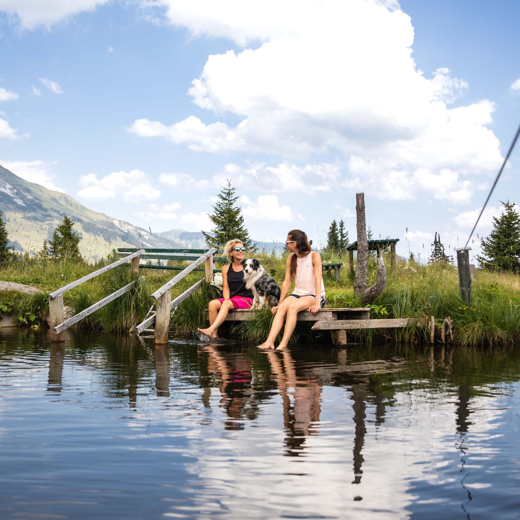
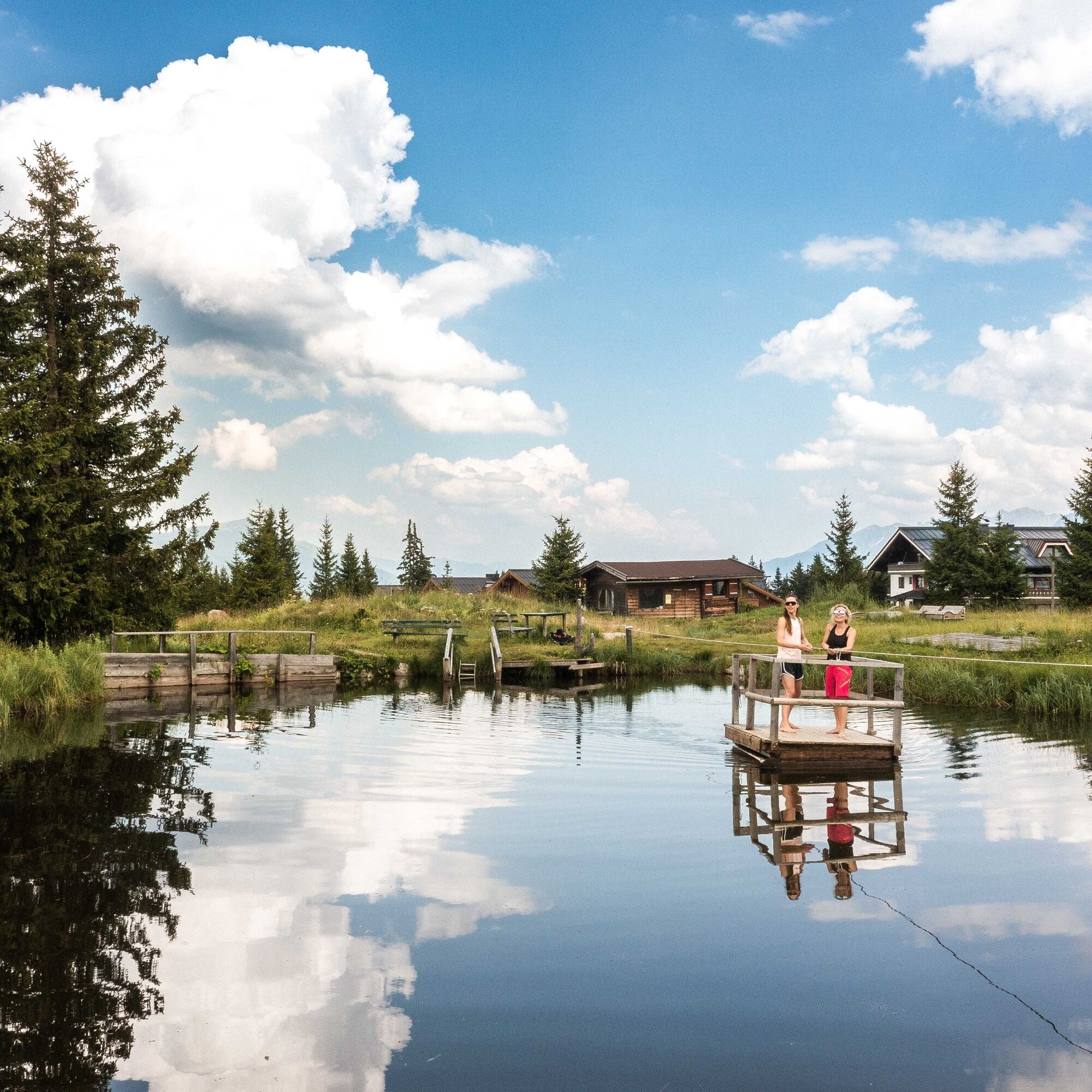
Fotografie našich uživatelů

 © Koen De WitVytvořeno dne 19.08.2021
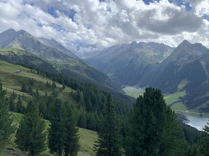 © Koen De WitVytvořeno dne 19.08.2021
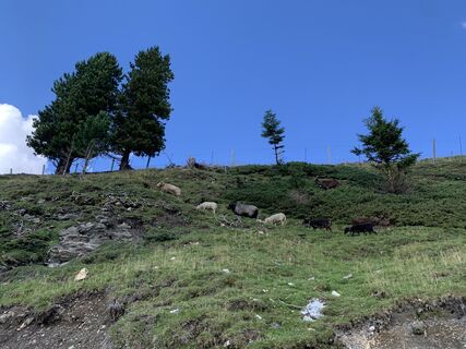 © Koen De WitVytvořeno dne 19.08.2021
 © FanfanVytvořeno dne 24.03.2026
 © FanfanVytvořeno dne 24.03.2026
 © Noel GoldenbeldVytvořeno dne 22.03.2026
 © Fabien ChitouVytvořeno dne 09.03.2026
 © Fabien ChitouVytvořeno dne 05.03.2026
 © Fabien ChitouVytvořeno dne 05.03.2026
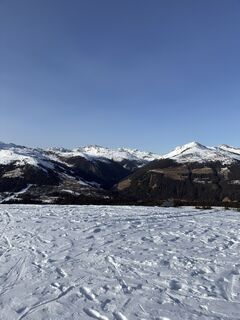 © Fabien ChitouVytvořeno dne 05.03.2026
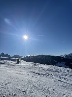
 © Piet Jansen 1Vytvořeno dne 27.02.2026
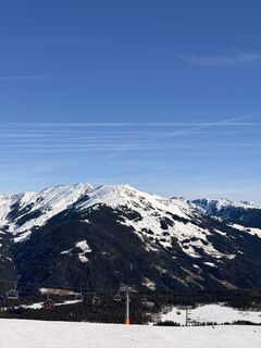
 © Wessel BakkerVytvořeno dne 26.02.2026
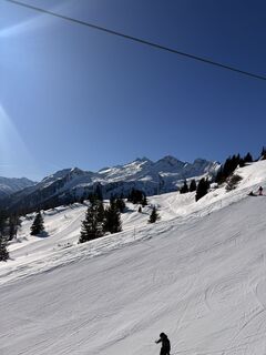 © Wessel BakkerVytvořeno dne 26.02.2026
 © Tino SkimaxVytvořeno dne 20.02.2026
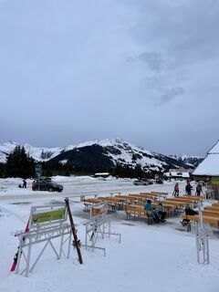
 © Daniel DoreenVytvořeno dne 19.02.2026
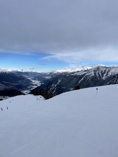 © Daniel DoreenVytvořeno dne 16.02.2026
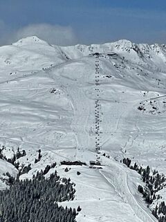 © Daniel DoreenVytvořeno dne 16.02.2026
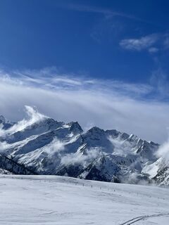 © Daniel DoreenVytvořeno dne 16.02.2026
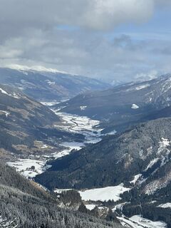 © Daniel DoreenVytvořeno dne 15.02.2026
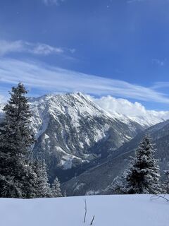 © Daniel DoreenVytvořeno dne 15.02.2026
 © Daniel DoreenVytvořeno dne 15.02.2026
 © Hans van der LindeVytvořeno dne 31.01.2026
 © Marius 11Vytvořeno dne 30.01.2026
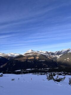
 © Dan AbiVytvořeno dne 27.01.2026
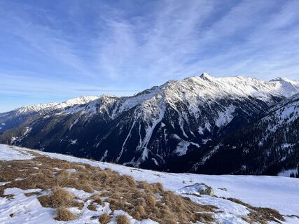 © Dan AbiVytvořeno dne 27.01.2026
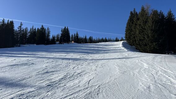 © asetteleVytvořeno dne 20.01.2026
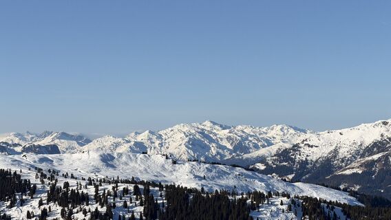
 © Thomas DüngfelderVytvořeno dne 18.01.2026
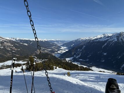 © Stefan LiepoldVytvořeno dne 17.01.2026
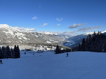 © Jens EcksteinVytvořeno dne 11.01.2026
 © Jens EcksteinVytvořeno dne 11.01.2026
 © Hans FelliVytvořeno dne 10.01.2026
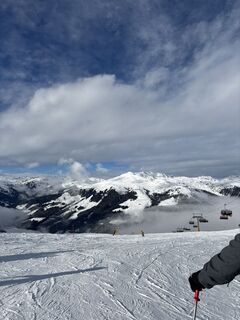
 © Maxine AllendorfVytvořeno dne 09.01.2026
 © Felix OhlVytvořeno dne 07.01.2026
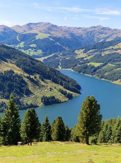 © Walter OberacherVytvořeno dne 06.09.2025
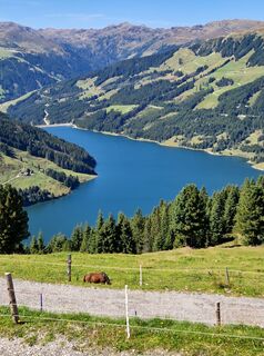 © Walter OberacherVytvořeno dne 06.09.2025
 © RabeD.h.BergeVytvořeno dne 17.02.2025

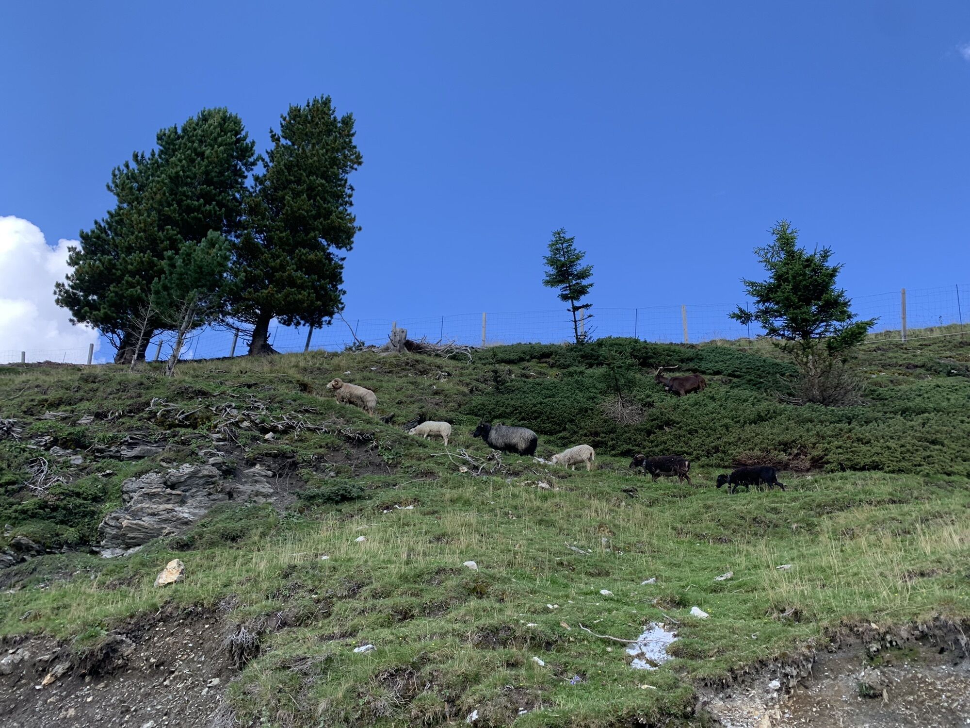

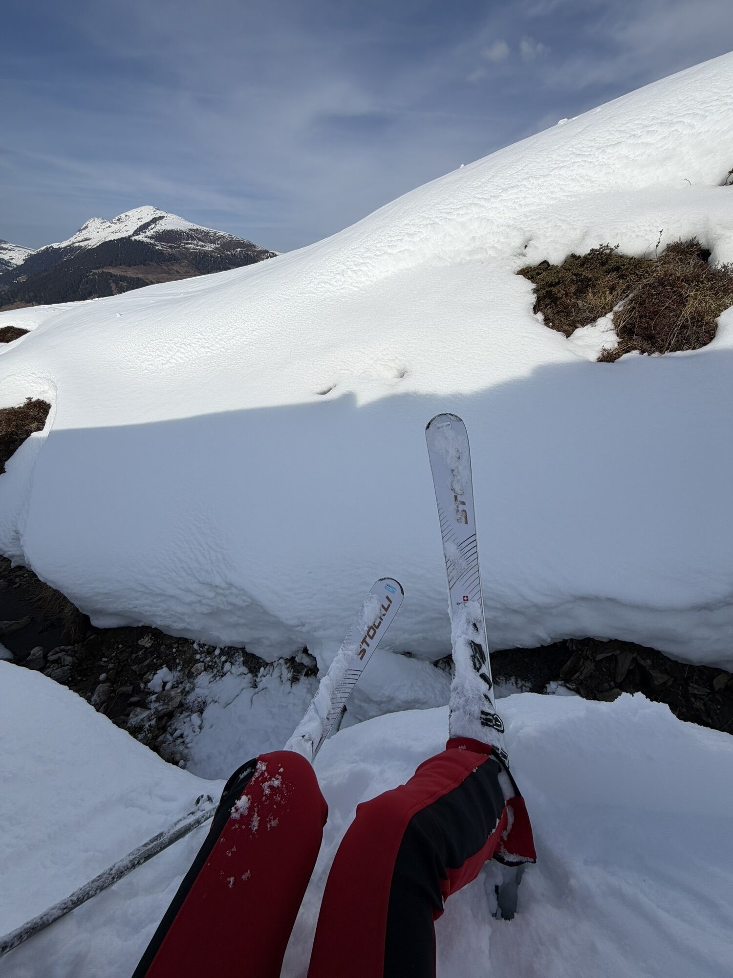
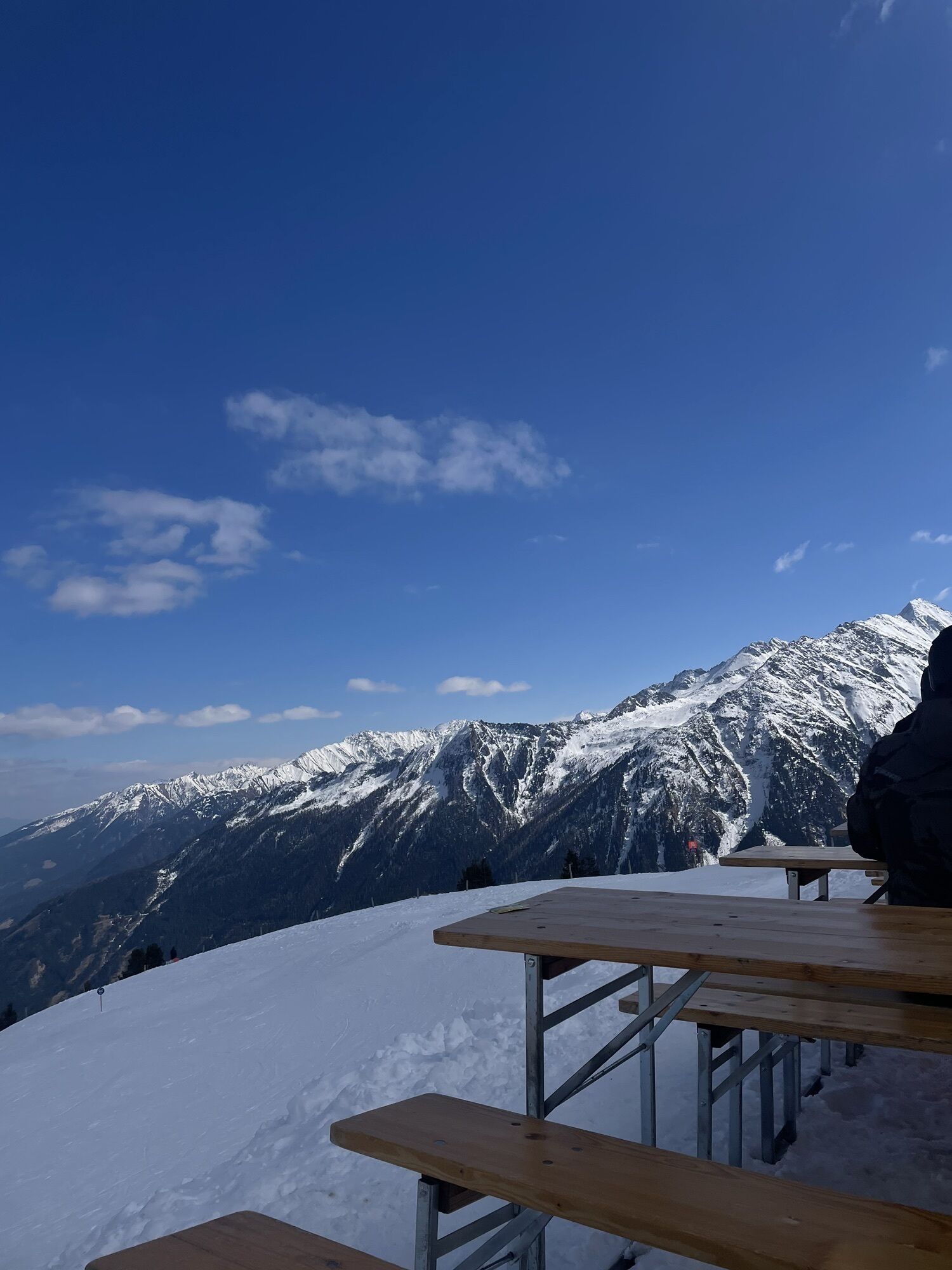
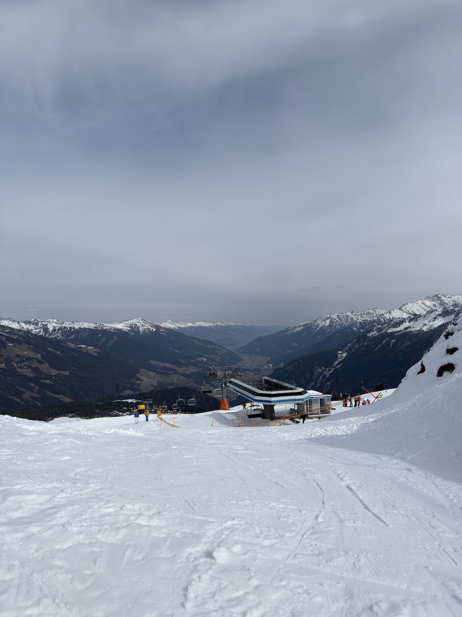
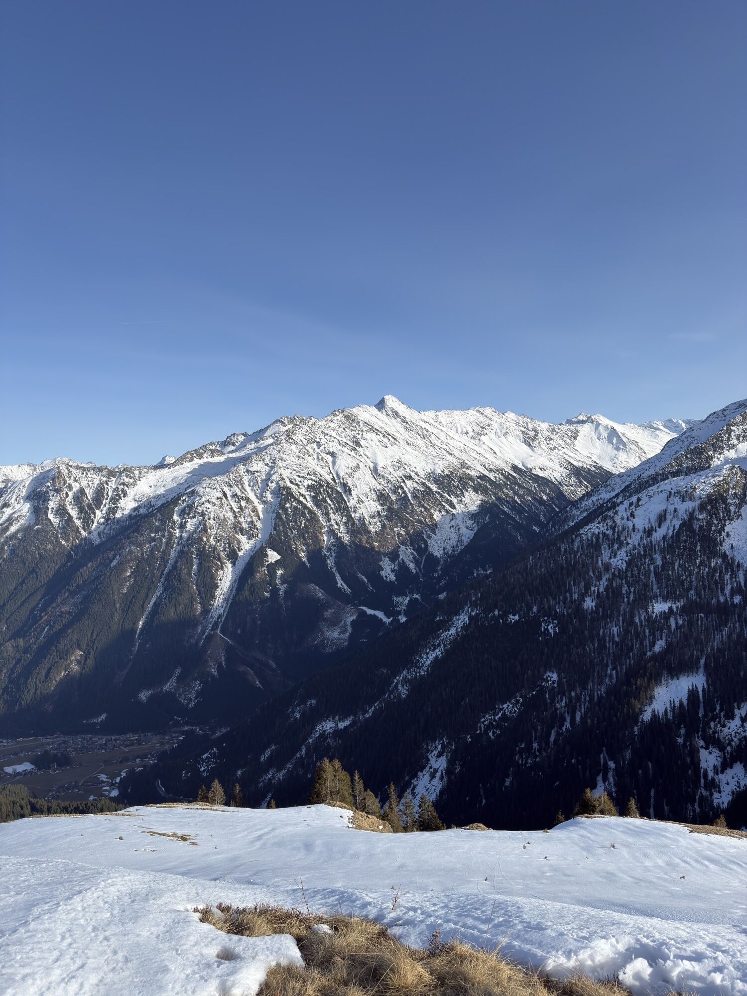
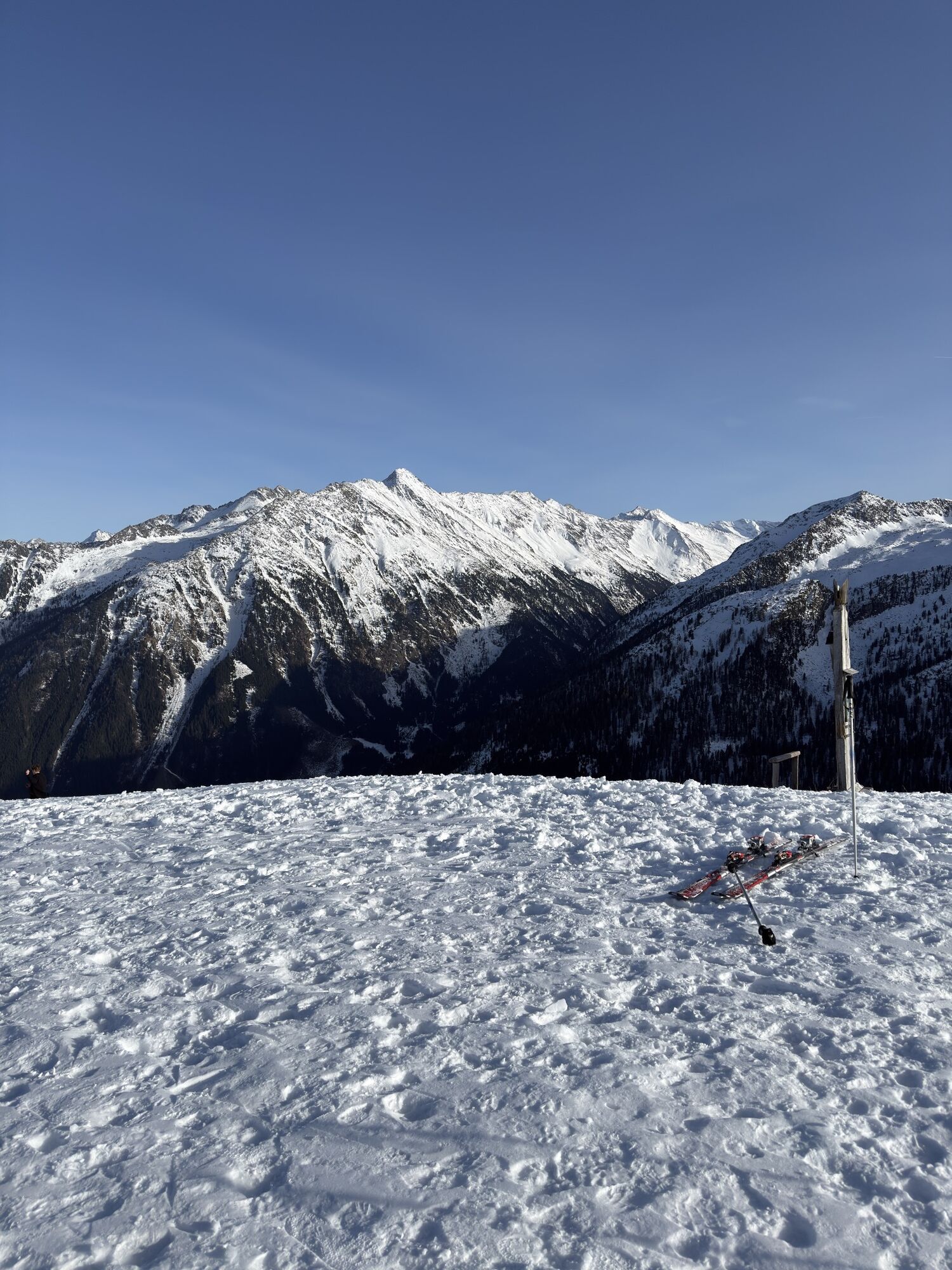
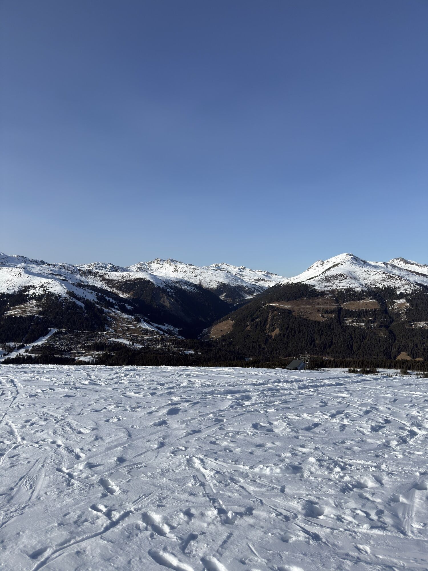


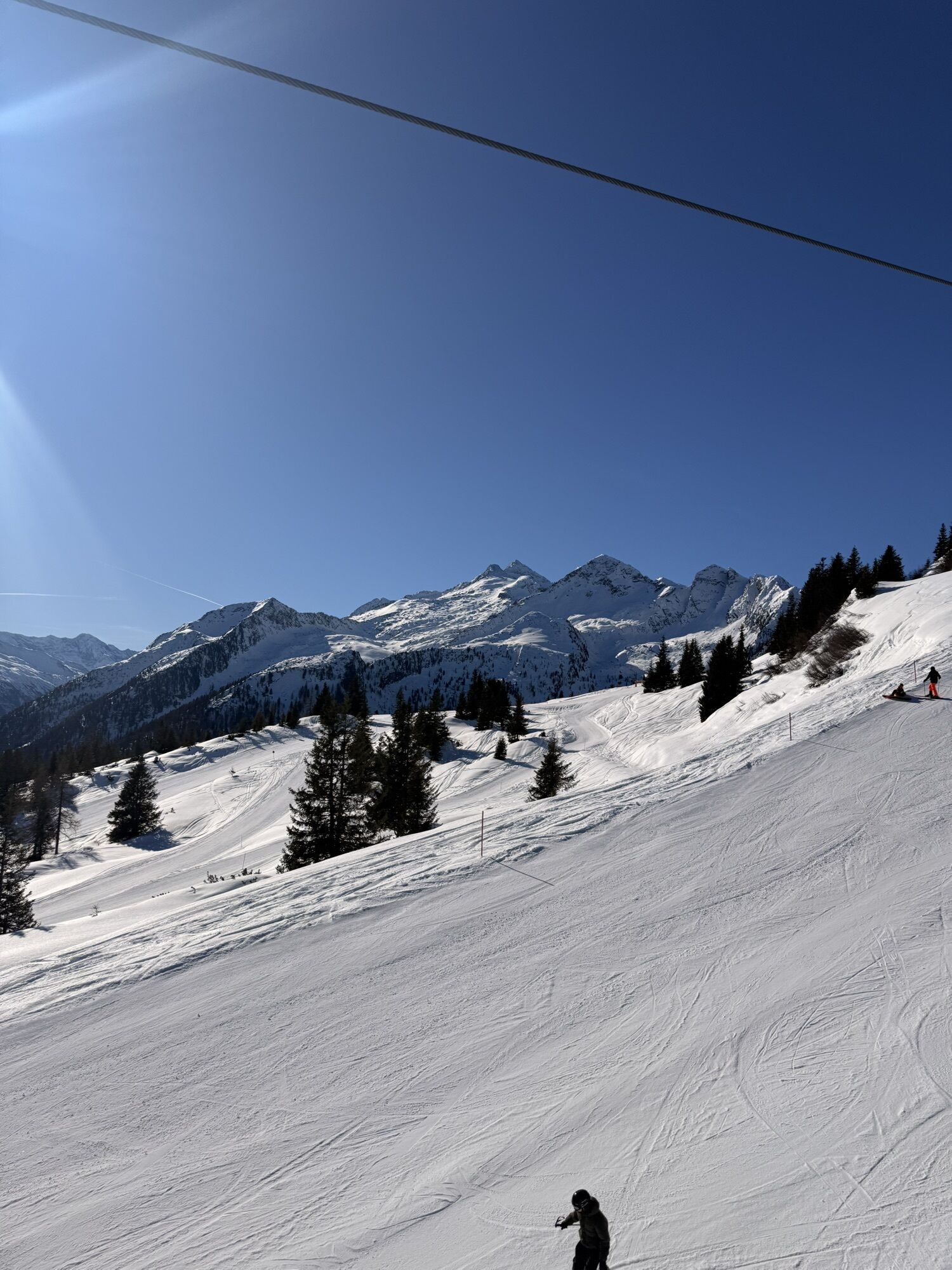
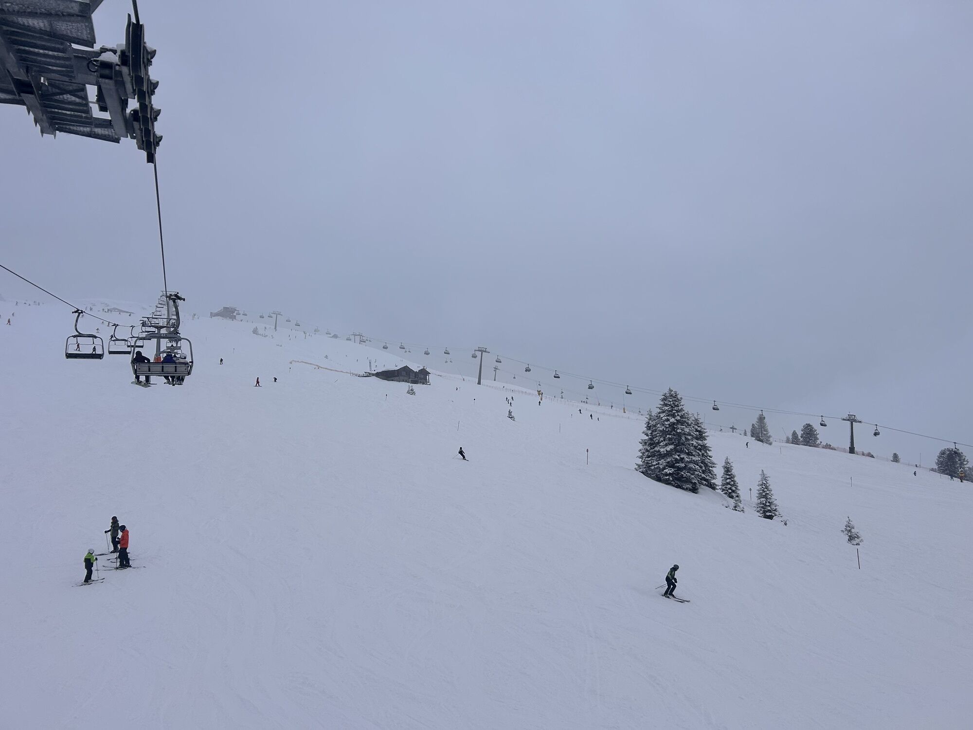
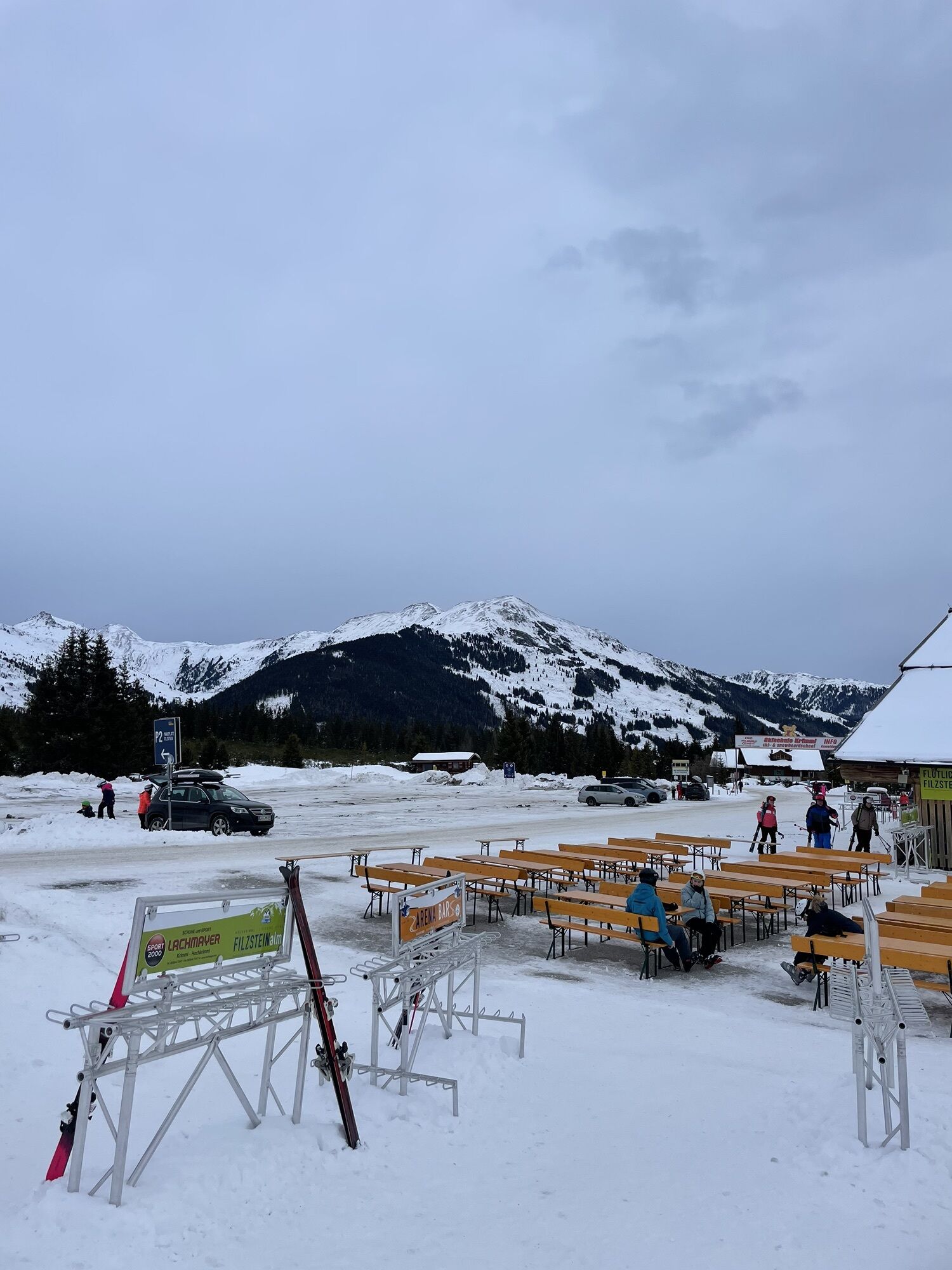

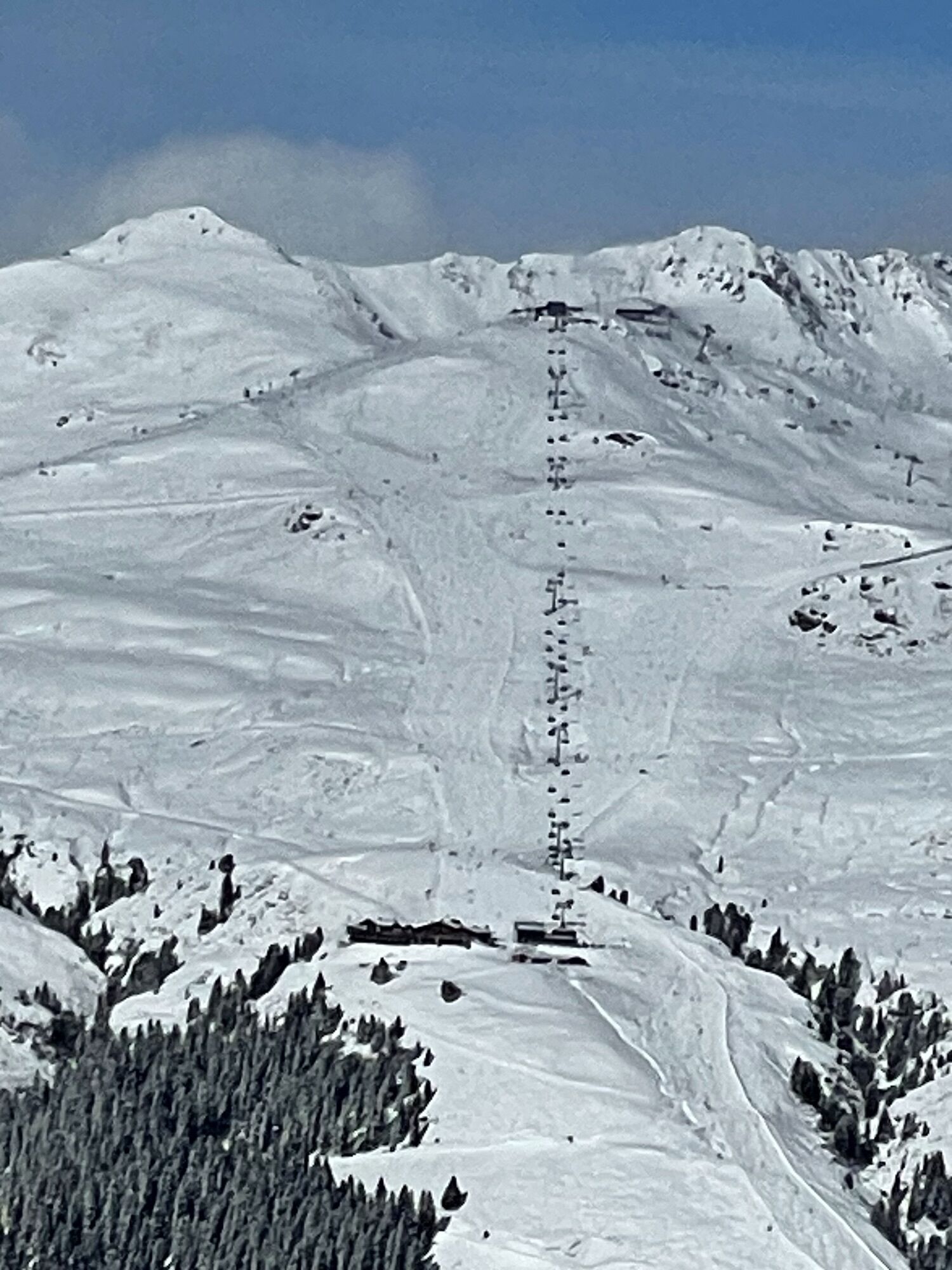
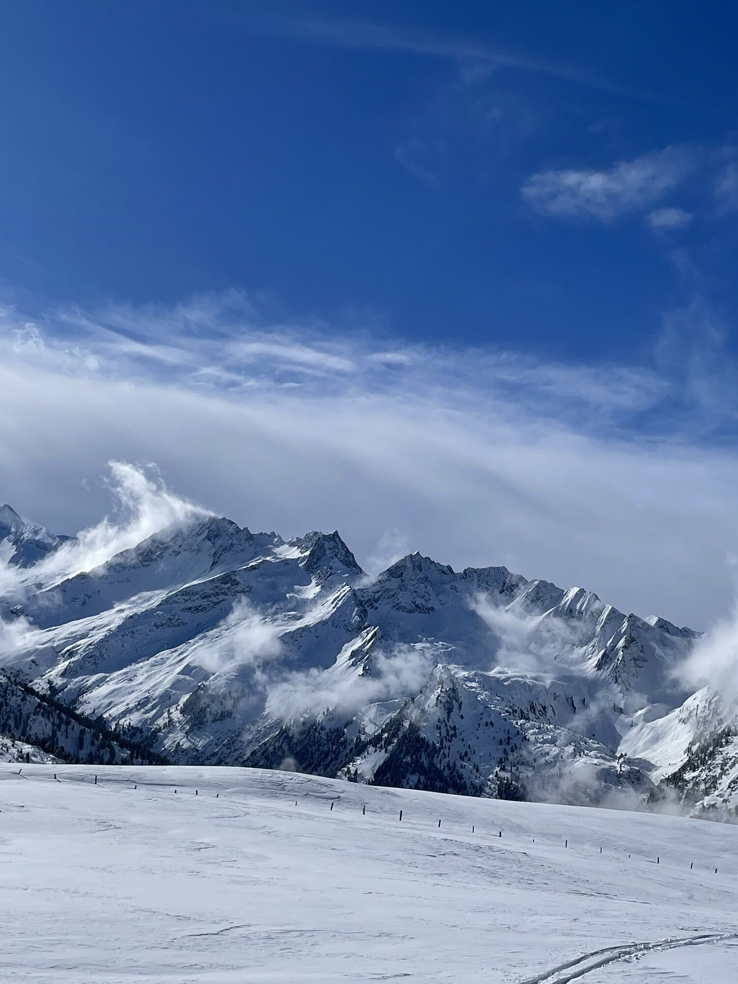
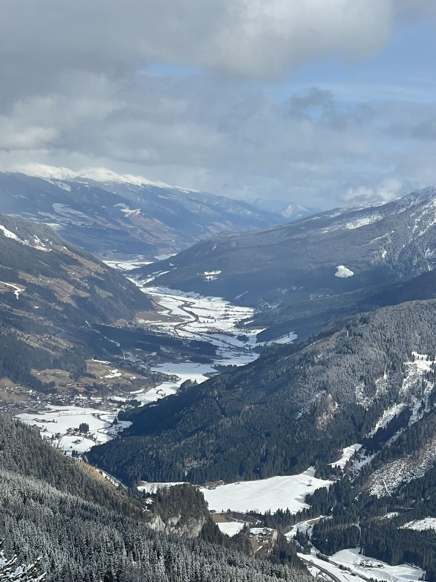


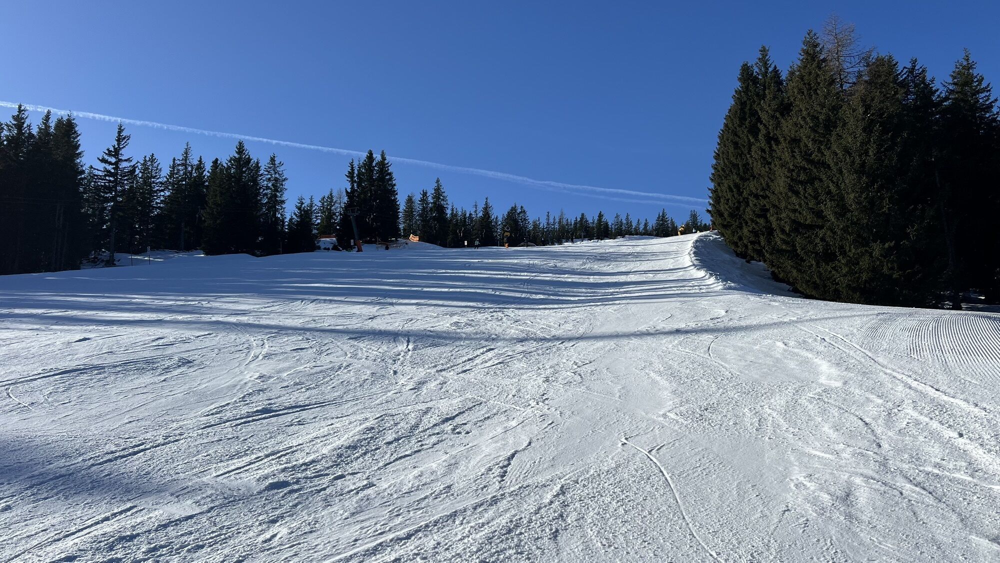
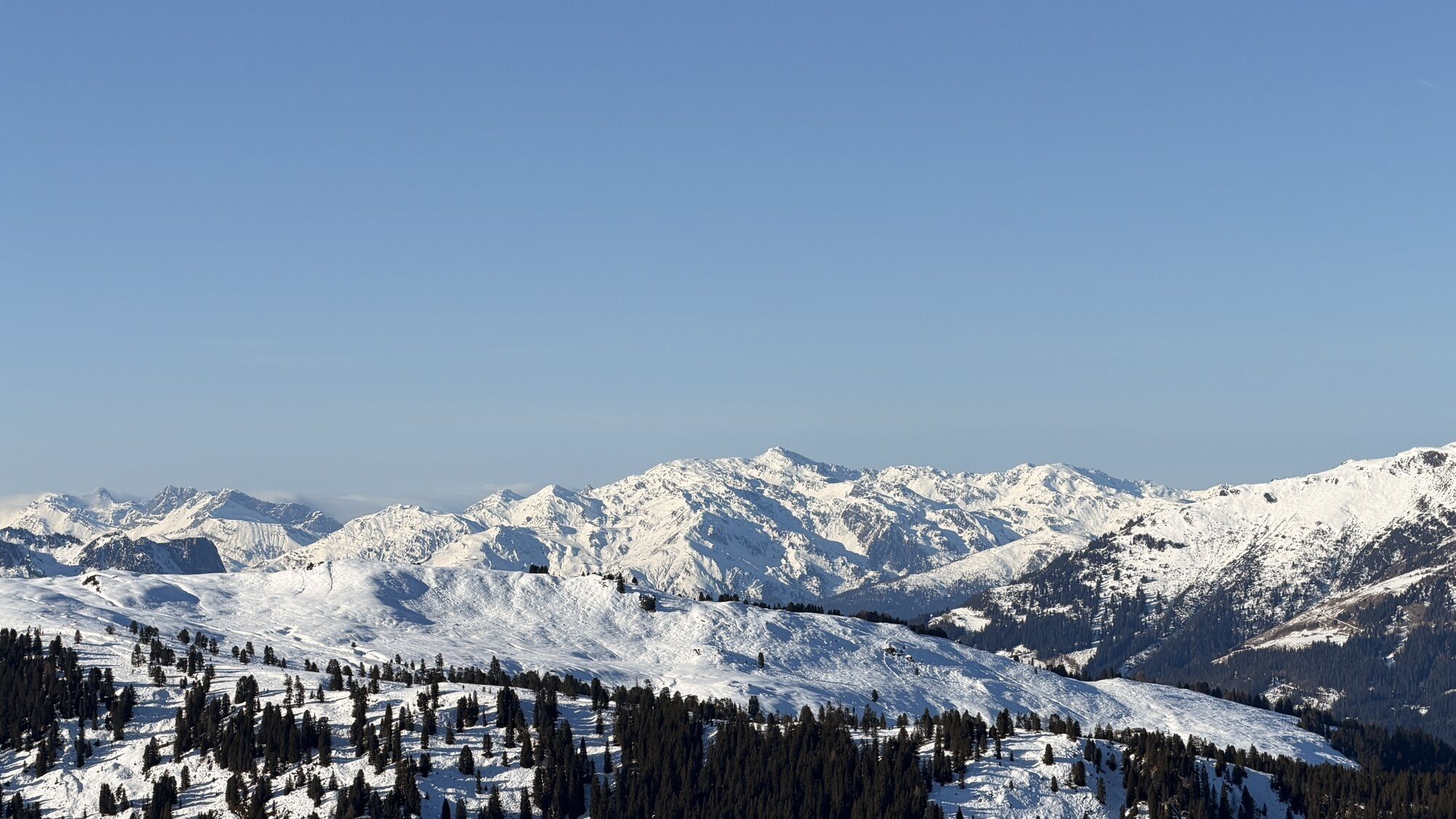


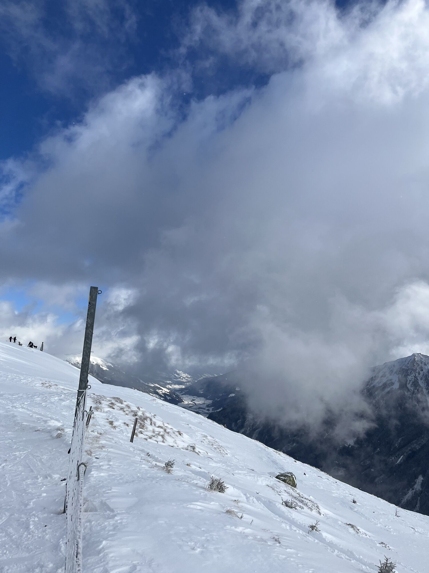
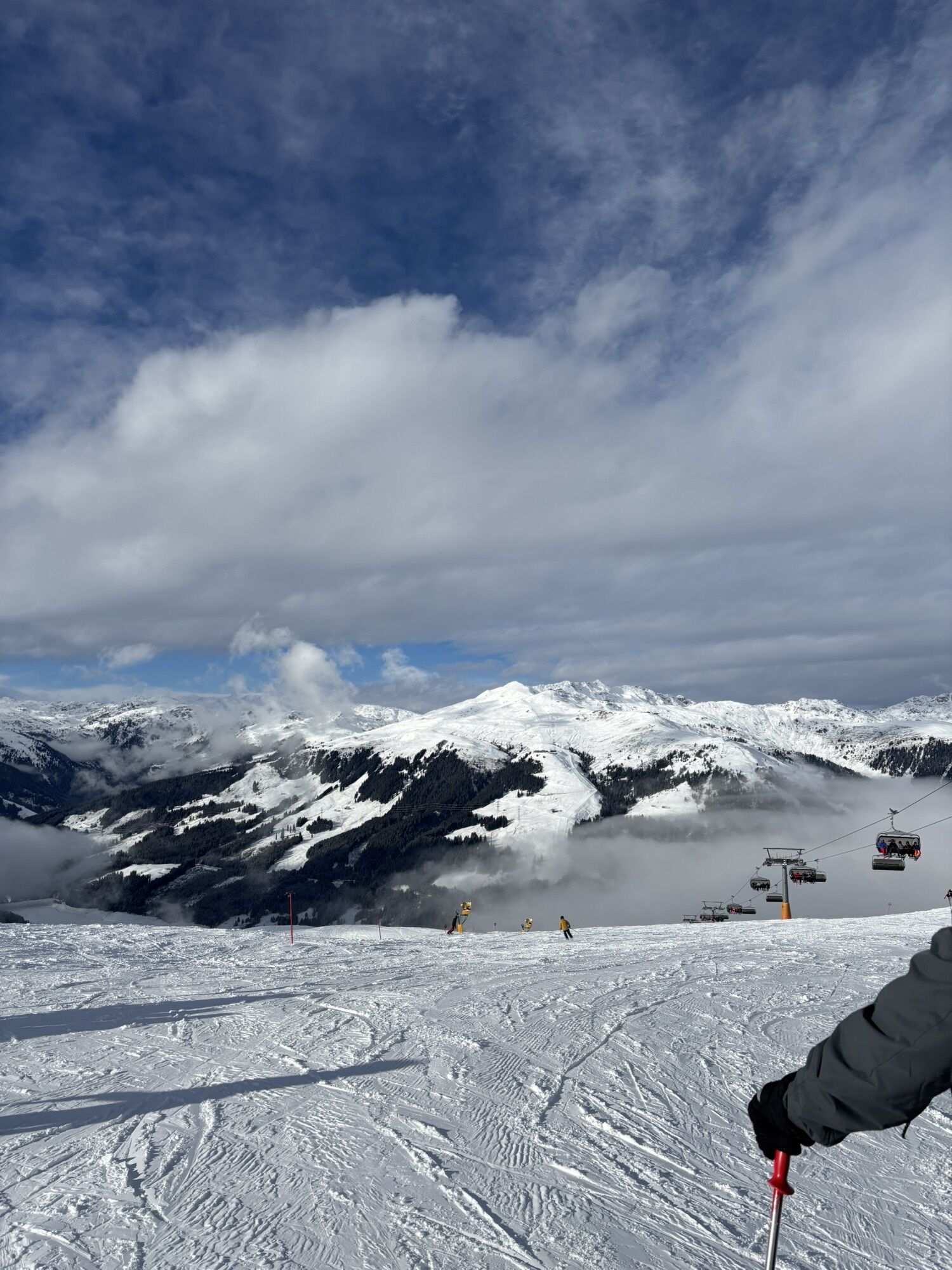

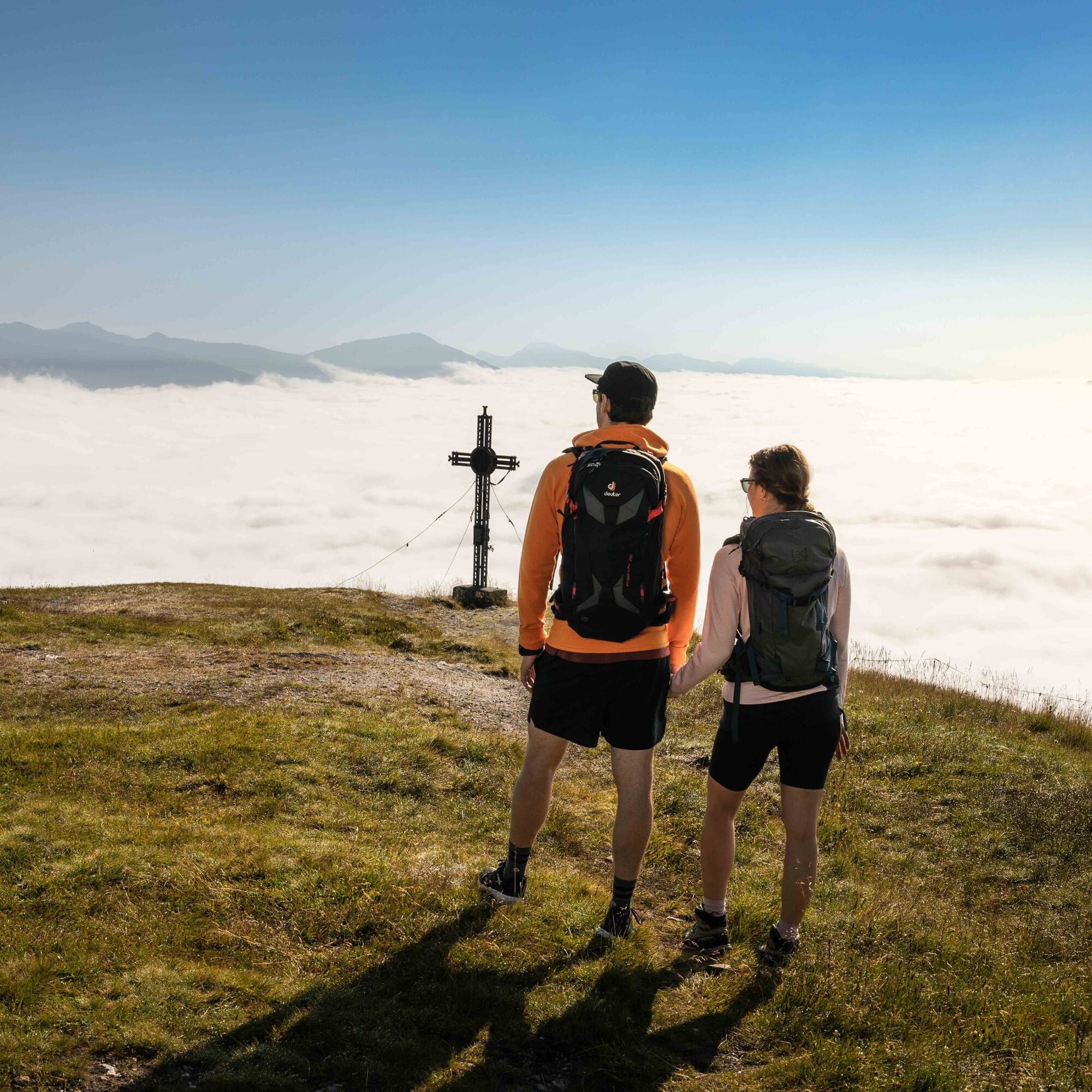
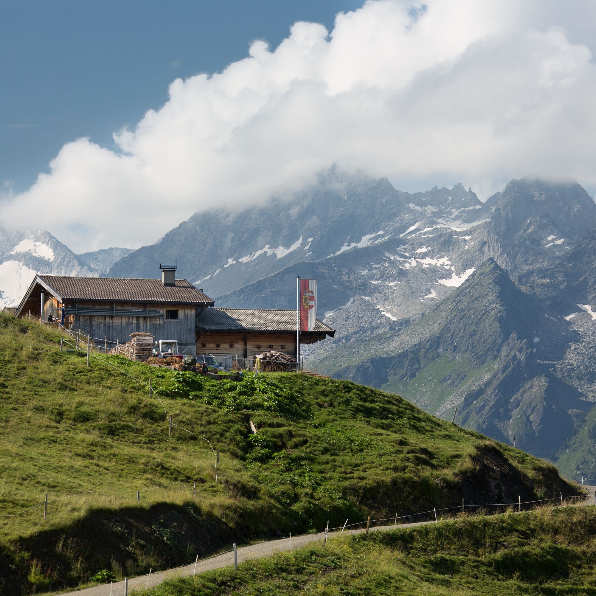
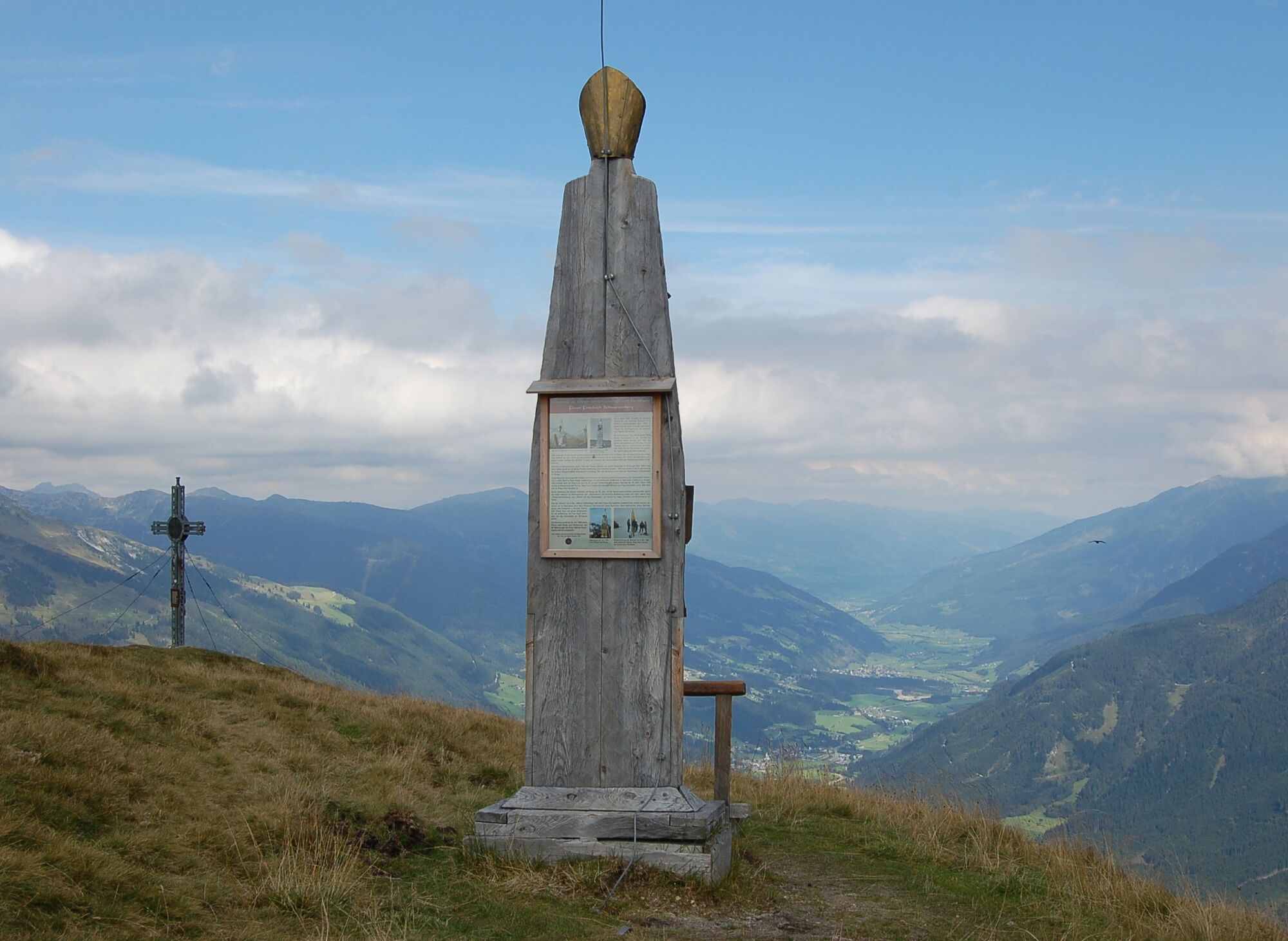
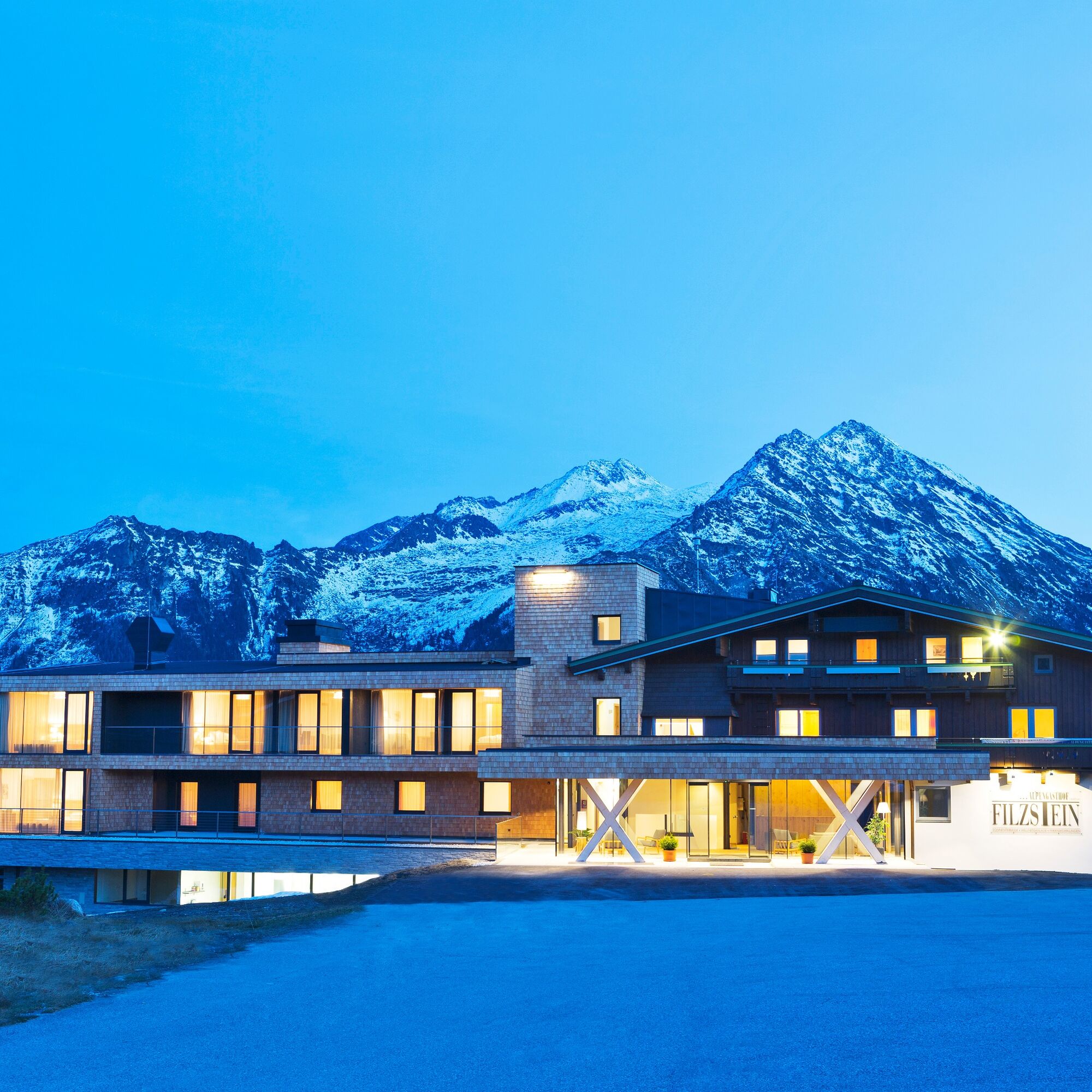
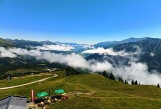
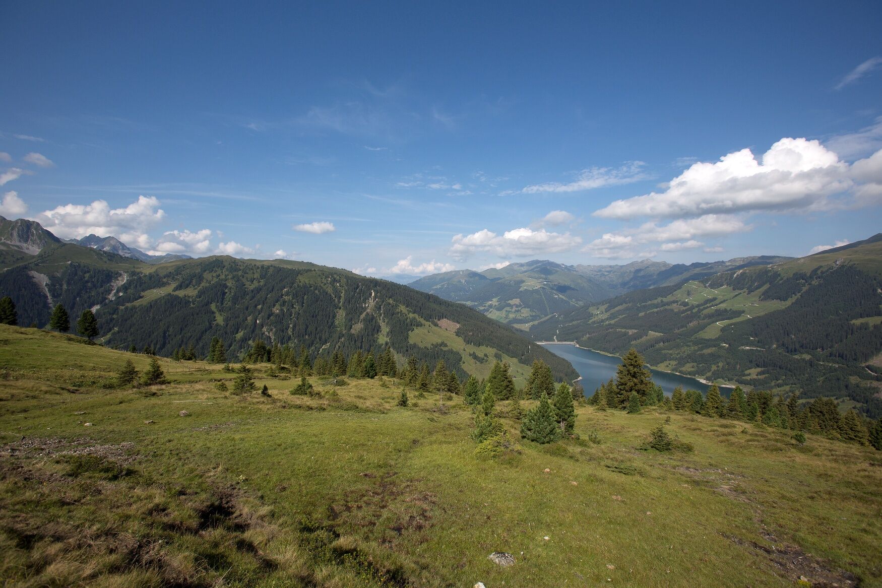
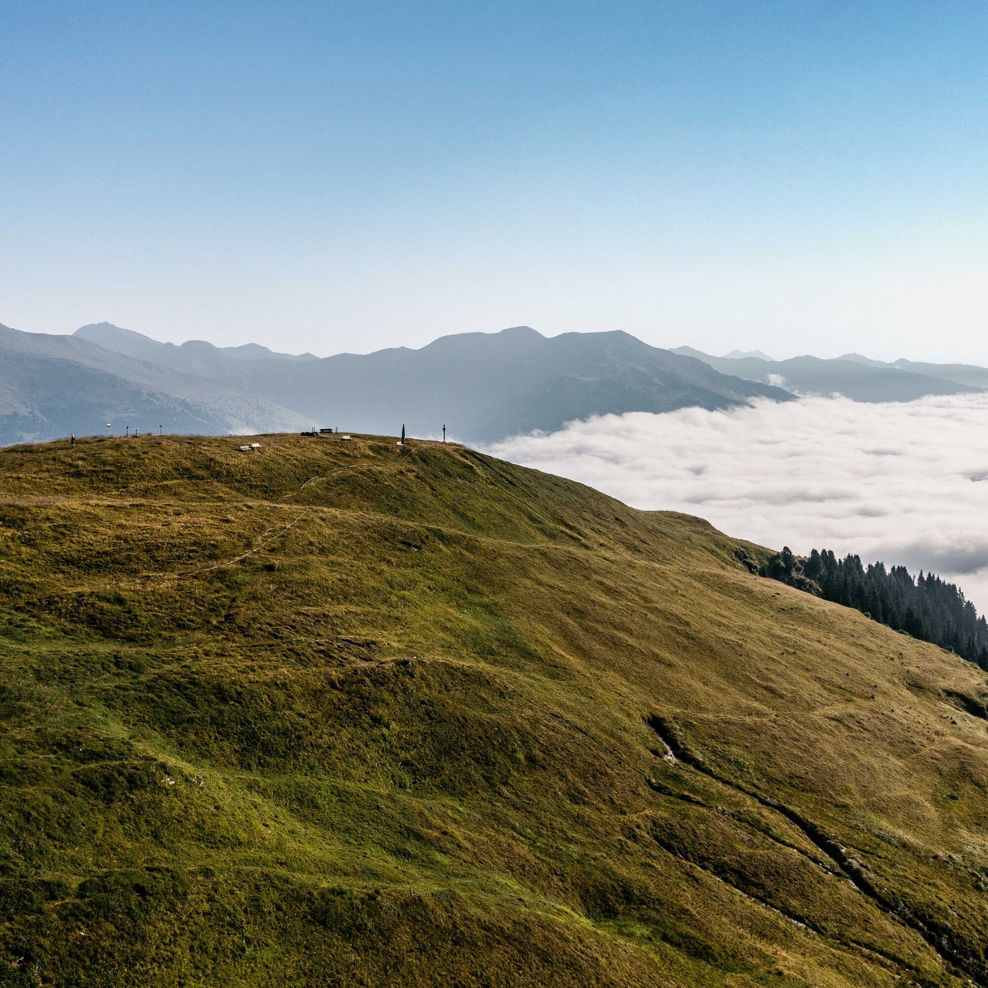
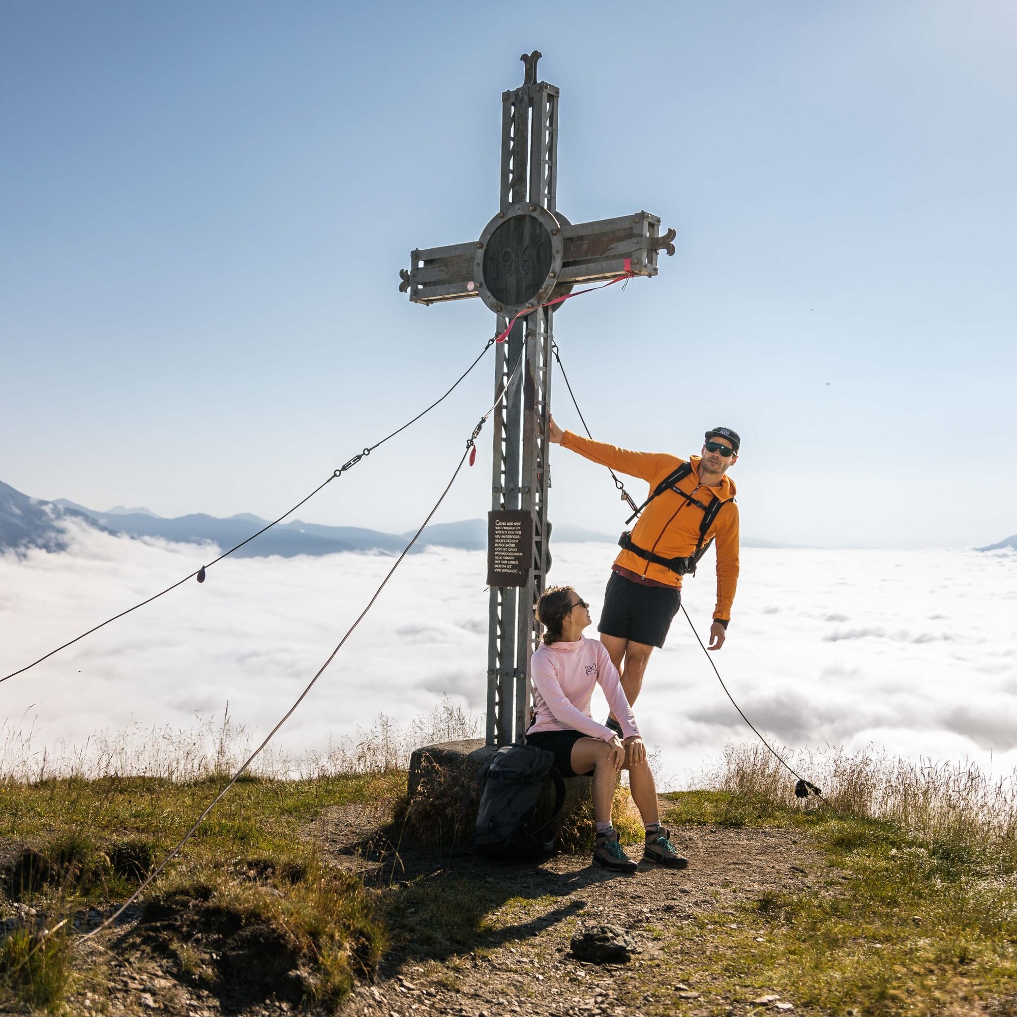
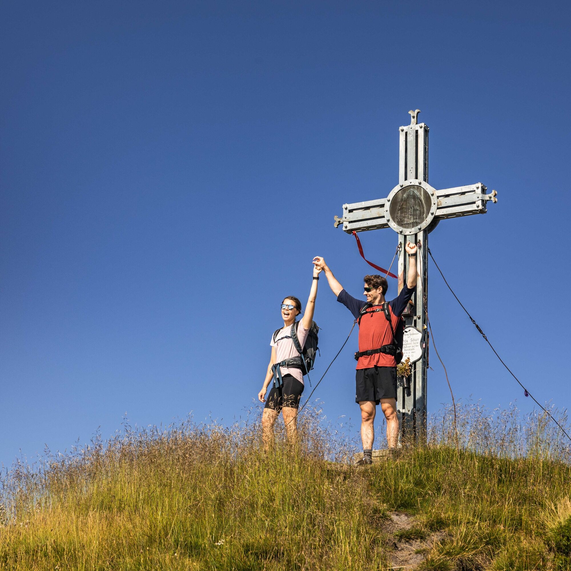
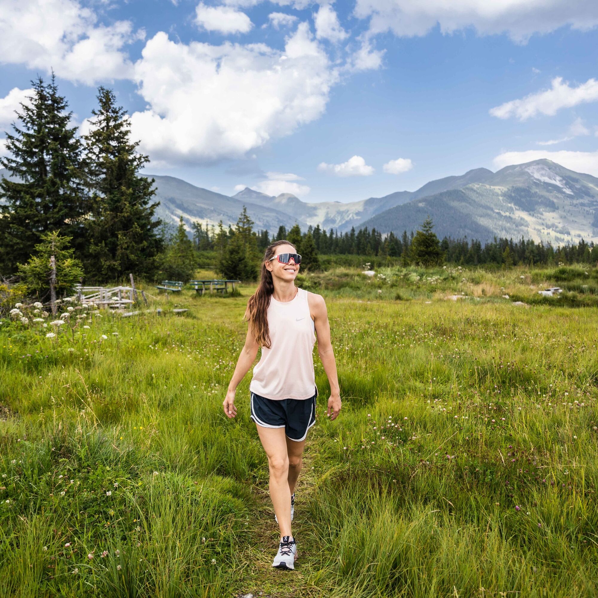
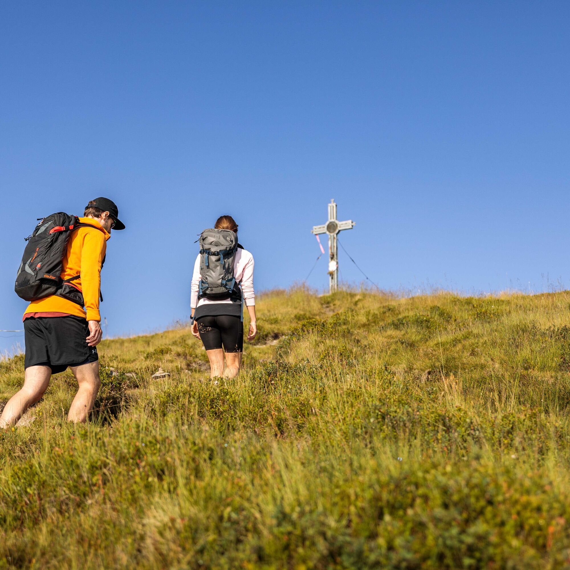
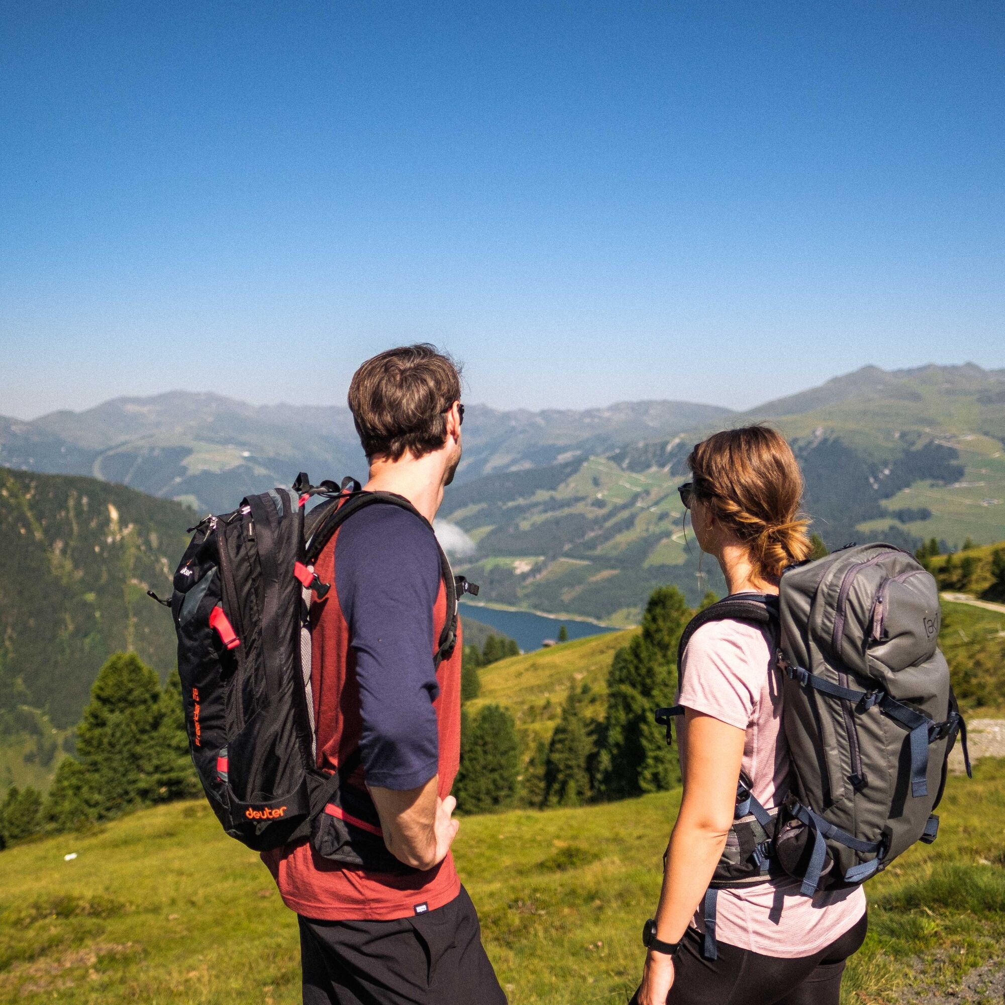
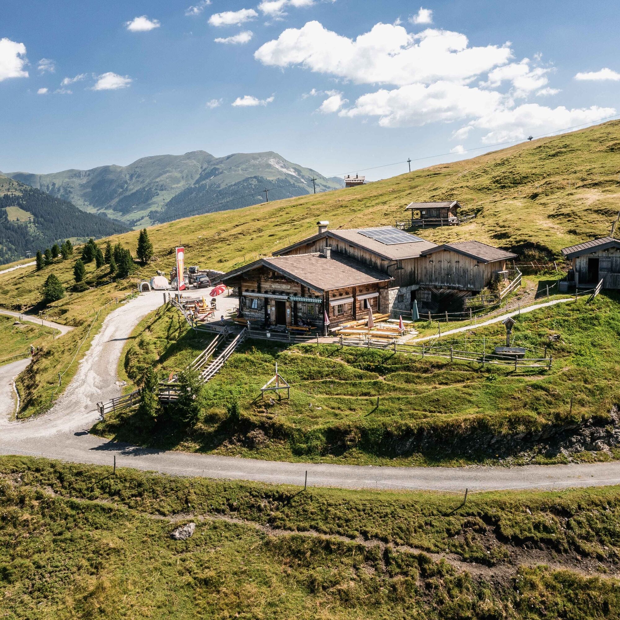
This circular route starts in Hochkrimml at the Filzstein Alpine Inn. From here the path leads over alpine meadows to the summit cross of the Krimml local mountain - the Plattenkogel. Directly below the...
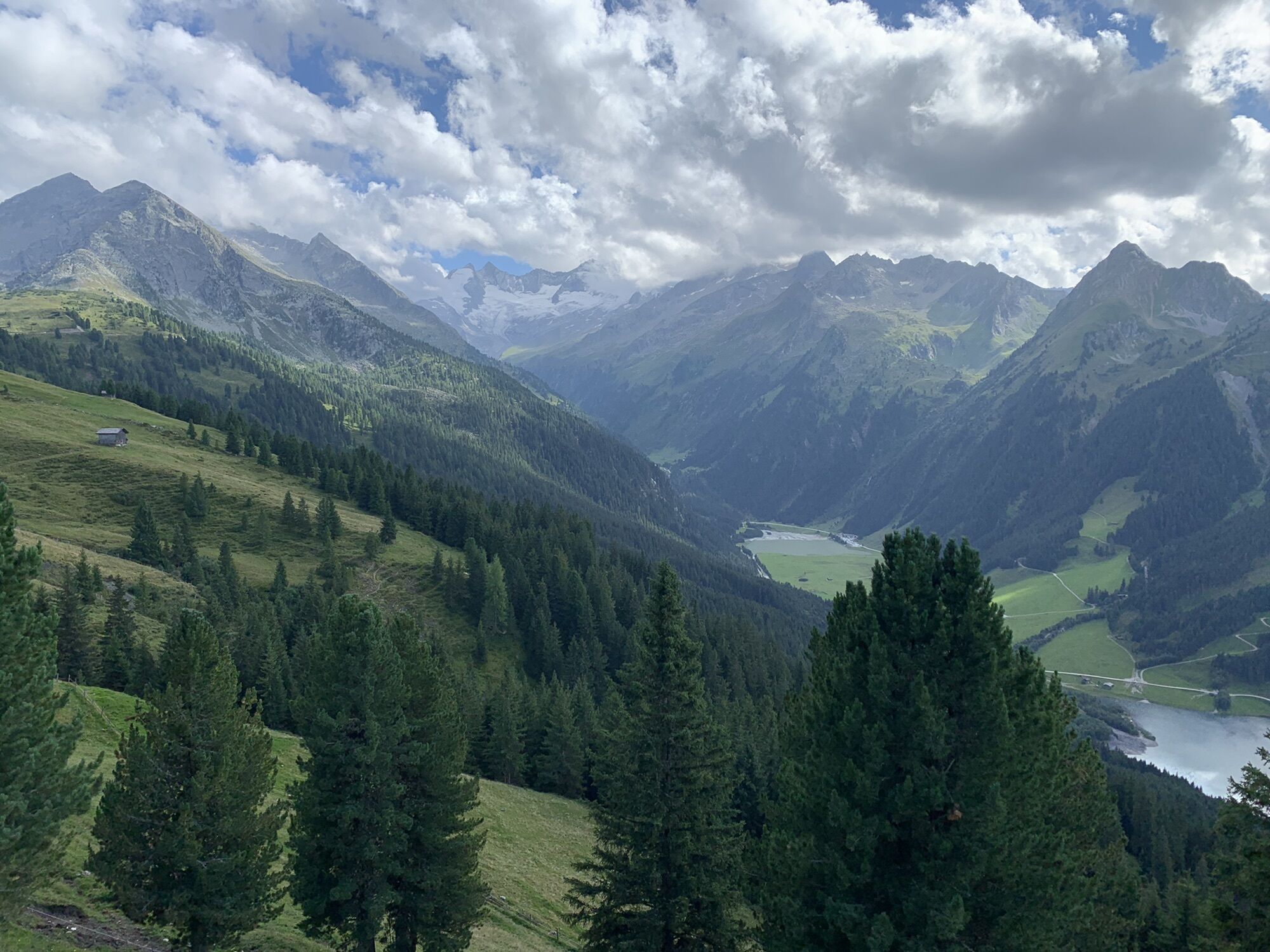
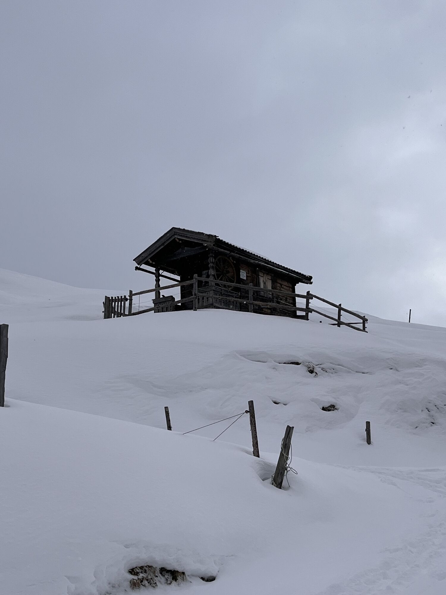
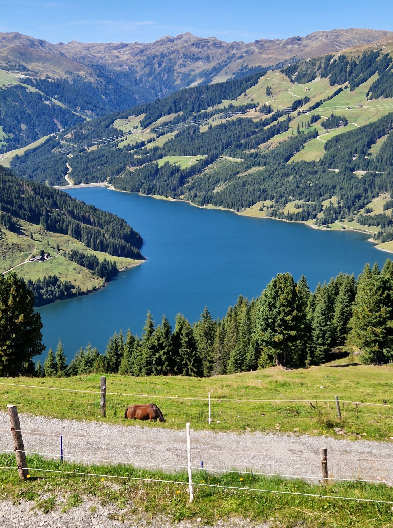
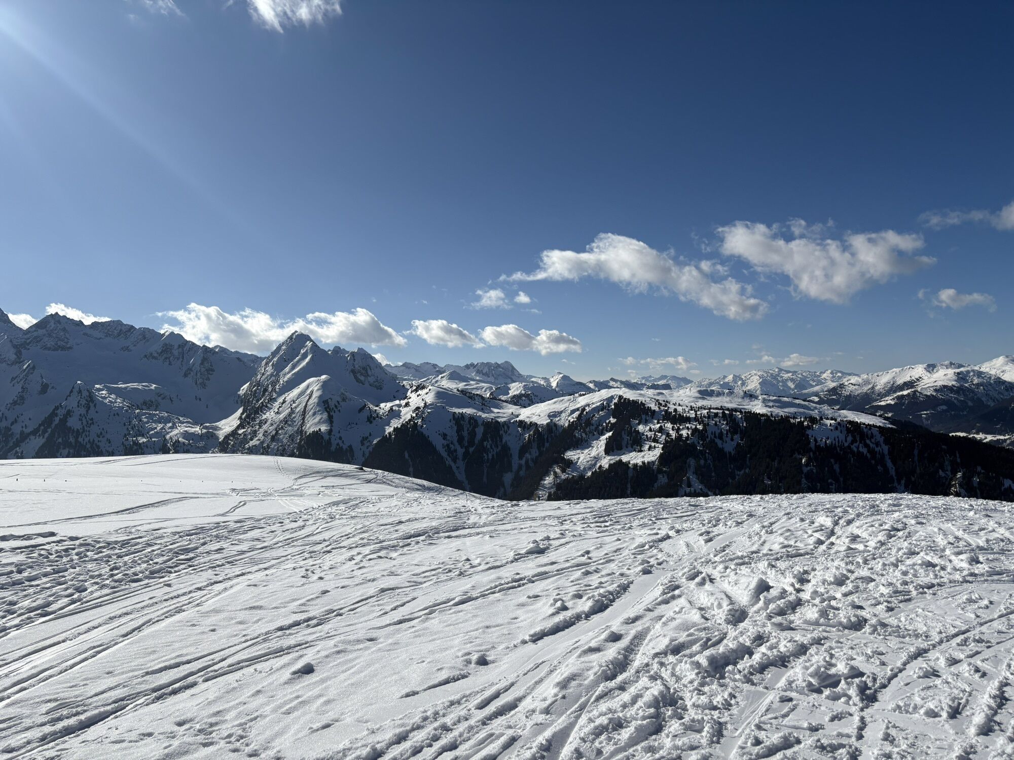
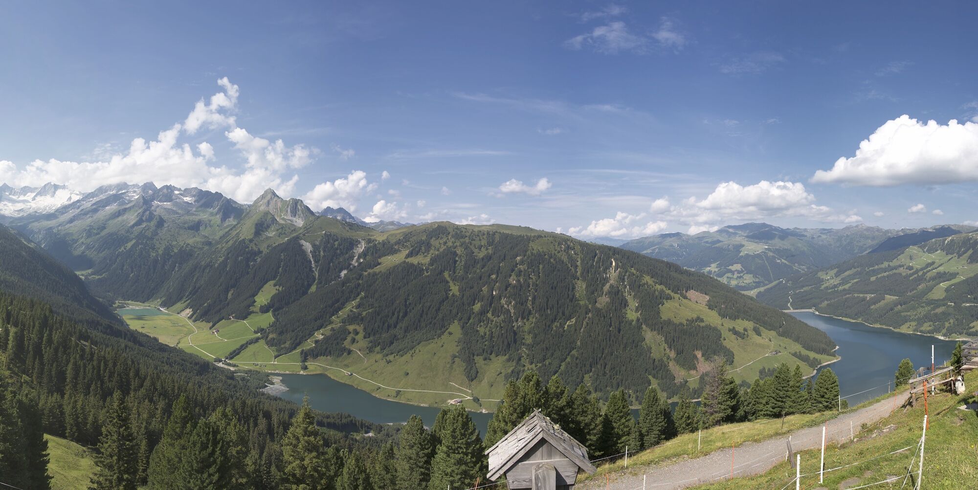
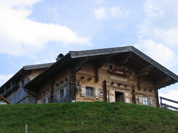
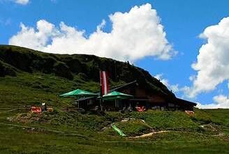
This circular route starts in Hochkrimml at the Filzstein Alpine Inn. From here the path leads over alpine meadows to the summit cross of the Krimml local mountain - the Plattenkogel. Directly below the summit, the cozy BergGeistAlm invites you to stop for refreshments. At the summit, in good weather, you have a magnificent view of the Hohe Tauern with the glaciated peaks, as well as to the east over the entire Salzach valley and to the west into the Tyrolean Zillertal. The descent leads us towards the Gletscherblick Alm. Here you have a great view of the Durlassboden reservoir and the Wildgerlostal valley behind it with the peaks Gabler and Reichenspitze dominating the valley. From "Silberleiten" you hike back to the starting point.
The route is also accessible by bike.


Trail No.: 13, 49, 50
Hochkrimml: Filzstein district - summit cross Plattenkogel (2,040m) - Silberleiten district - Duxeralm district - Filzstein district
Ano
Sturdy footwear, hiking poles recommended
Dogs must be kept on a leash.
Coming from Tyrol via Hainzenberg, from the east from the direction of Mittersill
Arrival only possible with your own car or taxi. During the holiday period, a hiking bus runs (more information at www.krimml.at).
Parking available.
Krimml/Hochkrimml Tourist Association: Tel. +43 (0)6564/7239-0 or www.krimml.at
Filzstein Alpine Inn: Tel. +43 (0)6564/8381 or www.filzstein.at
BergGeistAlm: Tel. +43 (0)664/4794282 or www.falkensteinalm.com
Gletscherblickalm: Tel. +43 (0)664/2735127 or www.gletscherblickalm.at
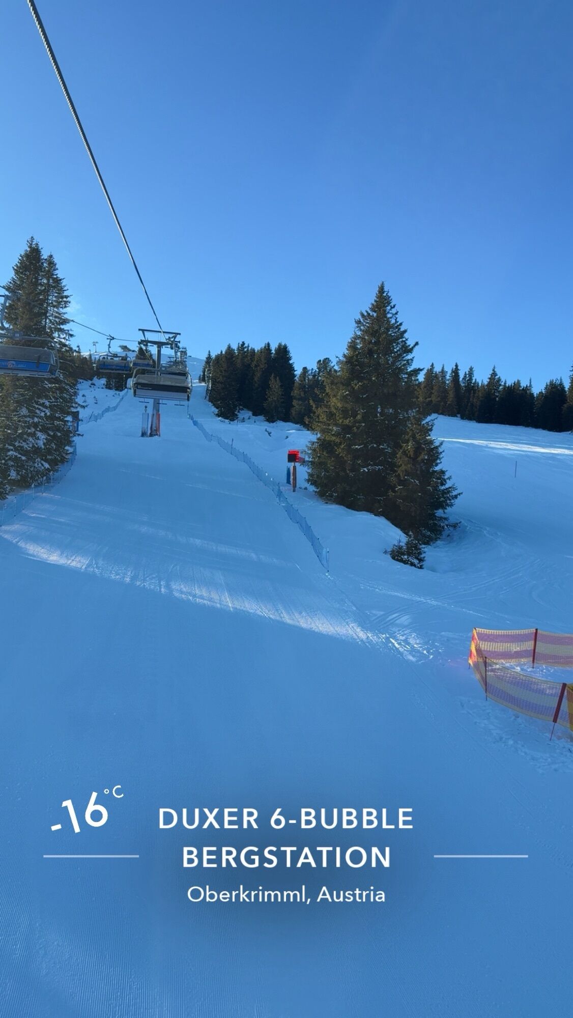
Bergrestaurant Duxeralm: Tel. +43 (0)677/64452559 or www.duxer.at
At the summit of Plattenkogel you will find a telescope where, by looking through it, the surrounding mountain world with the elevations is explained to you.
The section between the Filzstein district and Silberleiten is accessible with a stroller.
Webové kamery z prohlídky
Königsleiten - Wald im Pinzgau
Filzsteinalm
Panoramarestaurant Filzsteinalm (Gerlosplatte)
Oberkrimml - Panoramahotel Burgeck
Zillertal Arena, Alpengasthof Filzstein
Krimmler Wasserfall
Krimml - WasserWelten
Filzalmsee
Brantlalmsee
Panorama Königsleiten
Königsleiten - Wald im Pinzgau
Königsleiten - Wald im Pinzgau
Königsleiten - Wald im Pinzgau
Königsleiten - Wald im Pinzgau
Königsleiten - Wald im Pinzgau
Königsleiten - Wald im Pinzgau
Königsleiten - Wald im Pinzgau
Fussalm
Fussalm
Fussalm
Fussalm
Fussalm
Hochkrimml - Plattenalm
Hochkrimml - Plattenalm
Hochkrimml - Plattenalm
Hochkrimml - Plattenalm
Hochkrimml - Plattenalm
Panorama Königsleiten
Panorama Königsleiten
Panorama Königsleiten
Panorama Königsleiten

Oblíbené prohlídky v okolí
- 4.3
Gerlos: Stausee Rundwanderung
středníTuristika 12.5 km - 4.7
Zittauer Hut
středníTuristika 6.85 km - 4.3
Krimml Waterfall Path - Panorama Viewing Path
středníTuristika 4.74 km - 4.3
Krimmler Tauernhaus
středníTuristika 10.4 km - 4.5
Kröndlhorn (2.444m)
heavyTuristika 13.5 km - 3.6
Schmankerlweg (Rosenalm - Schmankerlhütte Kreuzwiesenalm)
Turistika 3.06 km - 5.0
Krimml: Zum Krimmler Tauernhaus
Mountainbike 12.4 km - 4.7
Krimmlerwasserfälle
středníTuristika 10.5 km - 4.3
Untere Wasserälle Krimml Krimml, Österreich
světloTuristika 5.04 km - 3.0
Mayrhofen - Plauener Hütte
Turistika 10.6 km

Pěší turistika a stopování


Nenechte si ujít nabídky a inspiraci pro vaši příští dovolenou
Vaše e-mailová adresa byl přidán do poštovního seznamu.