







Niedernsill: Hochkogel
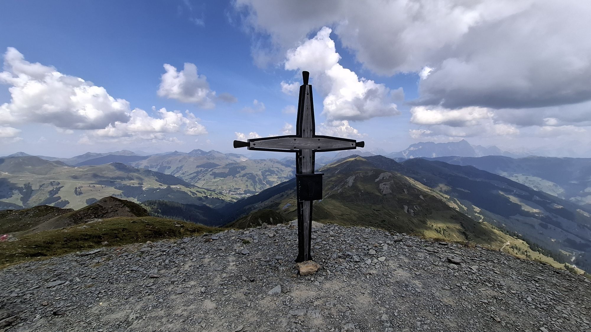
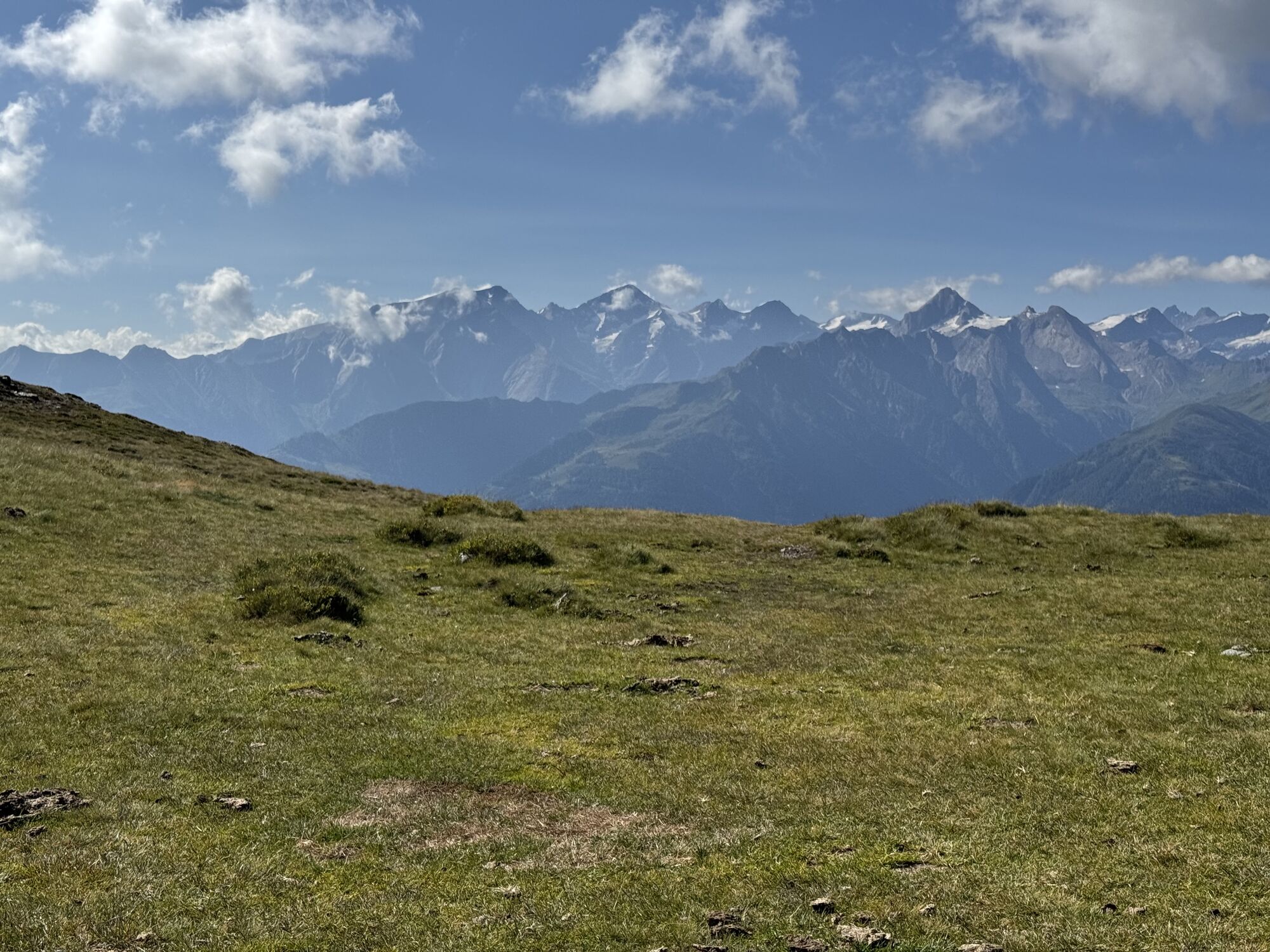
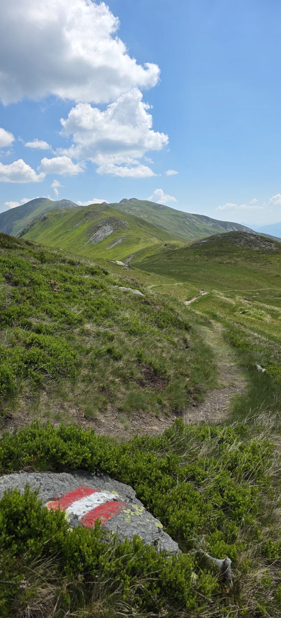
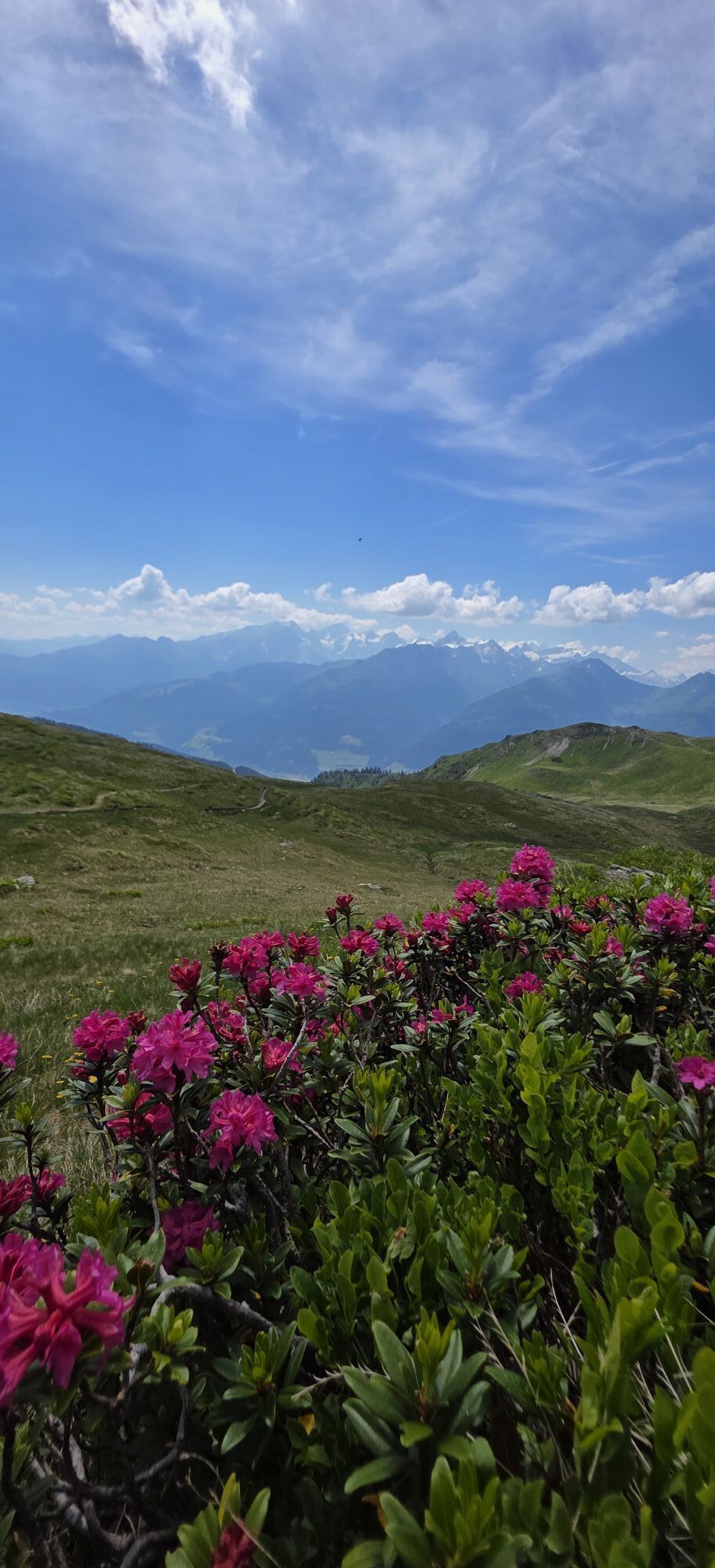
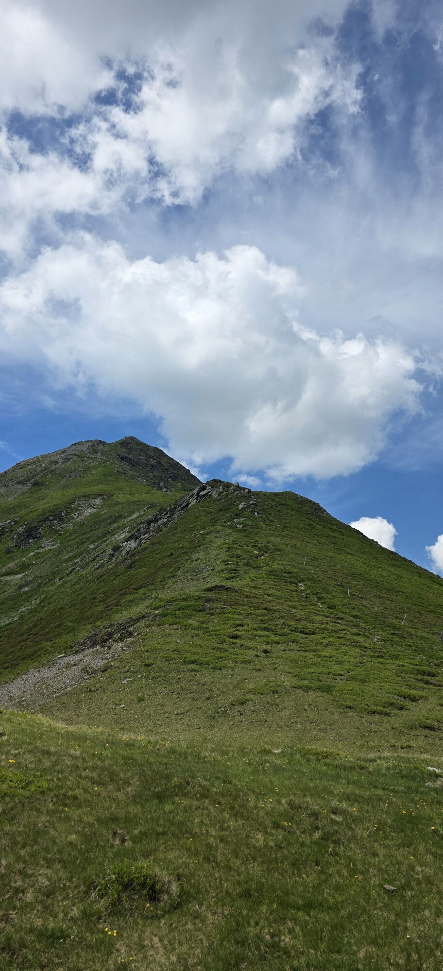
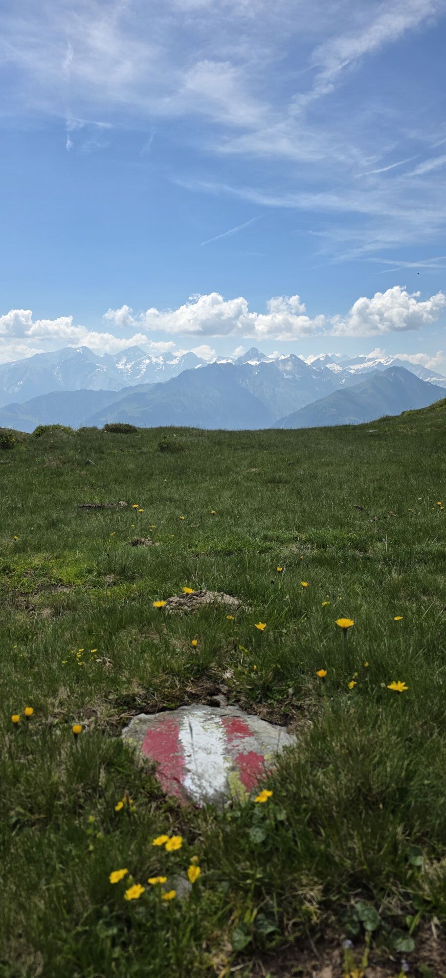
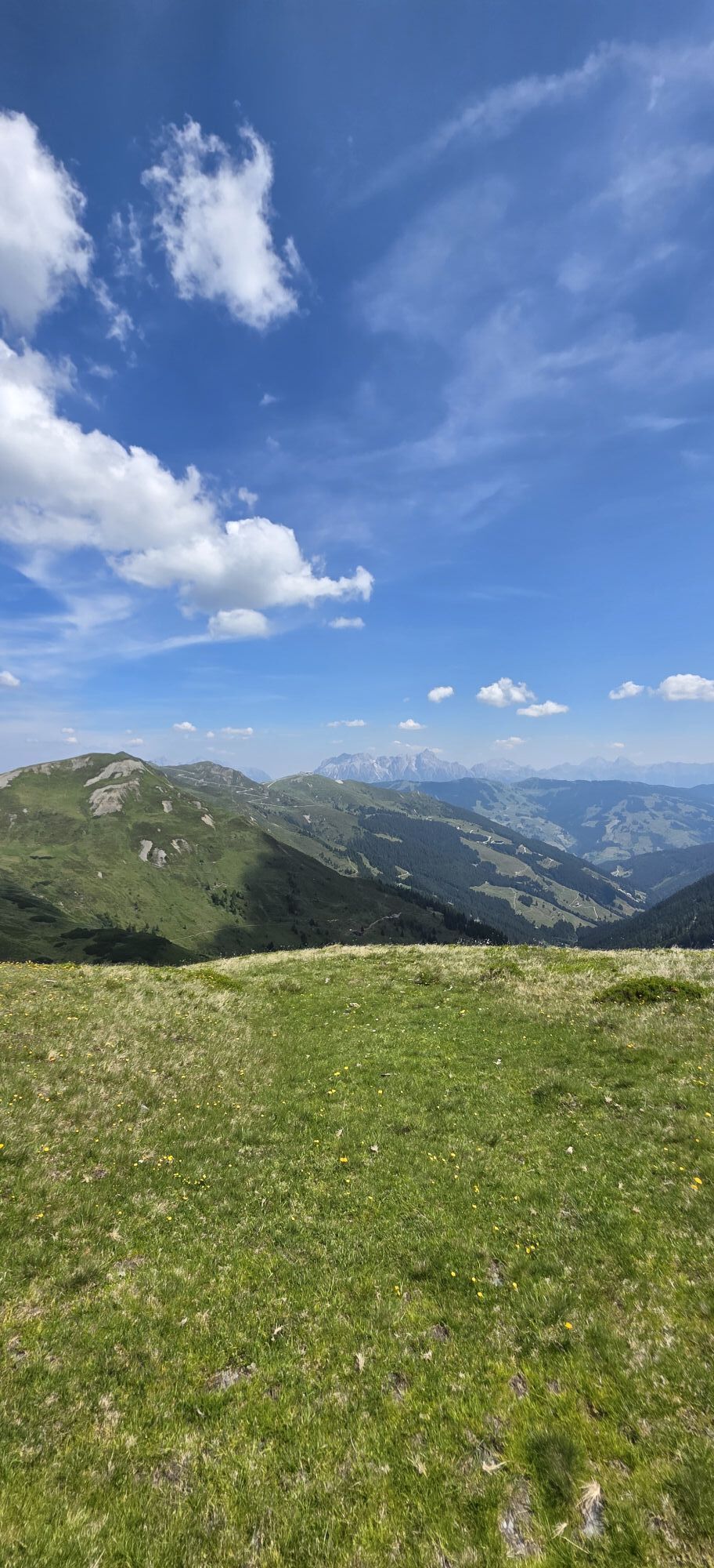
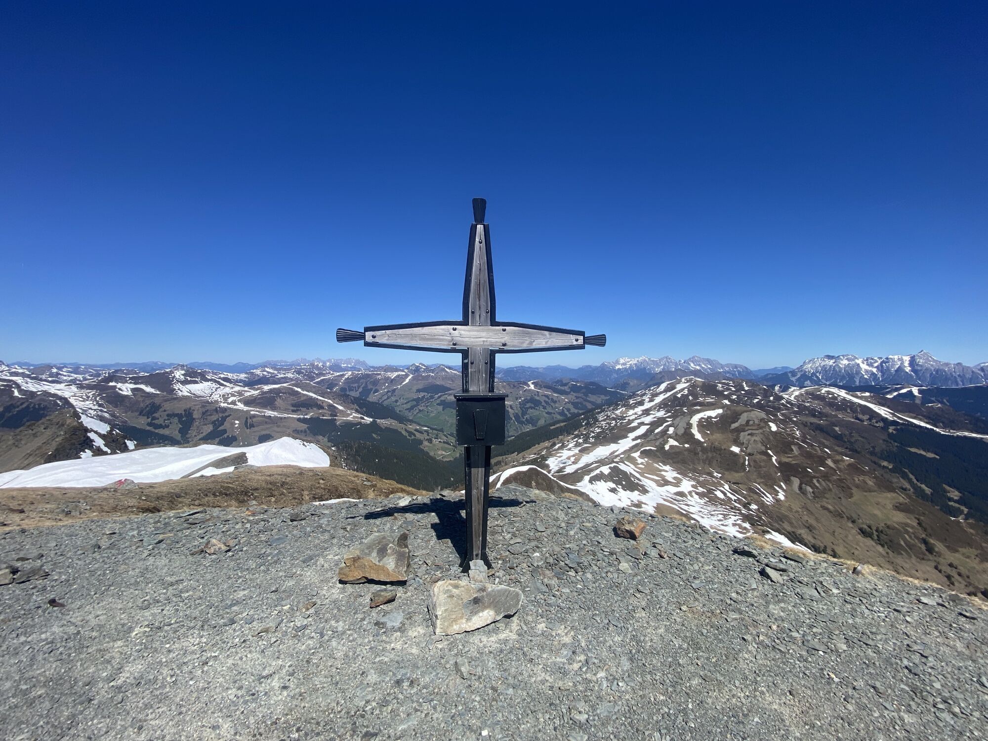
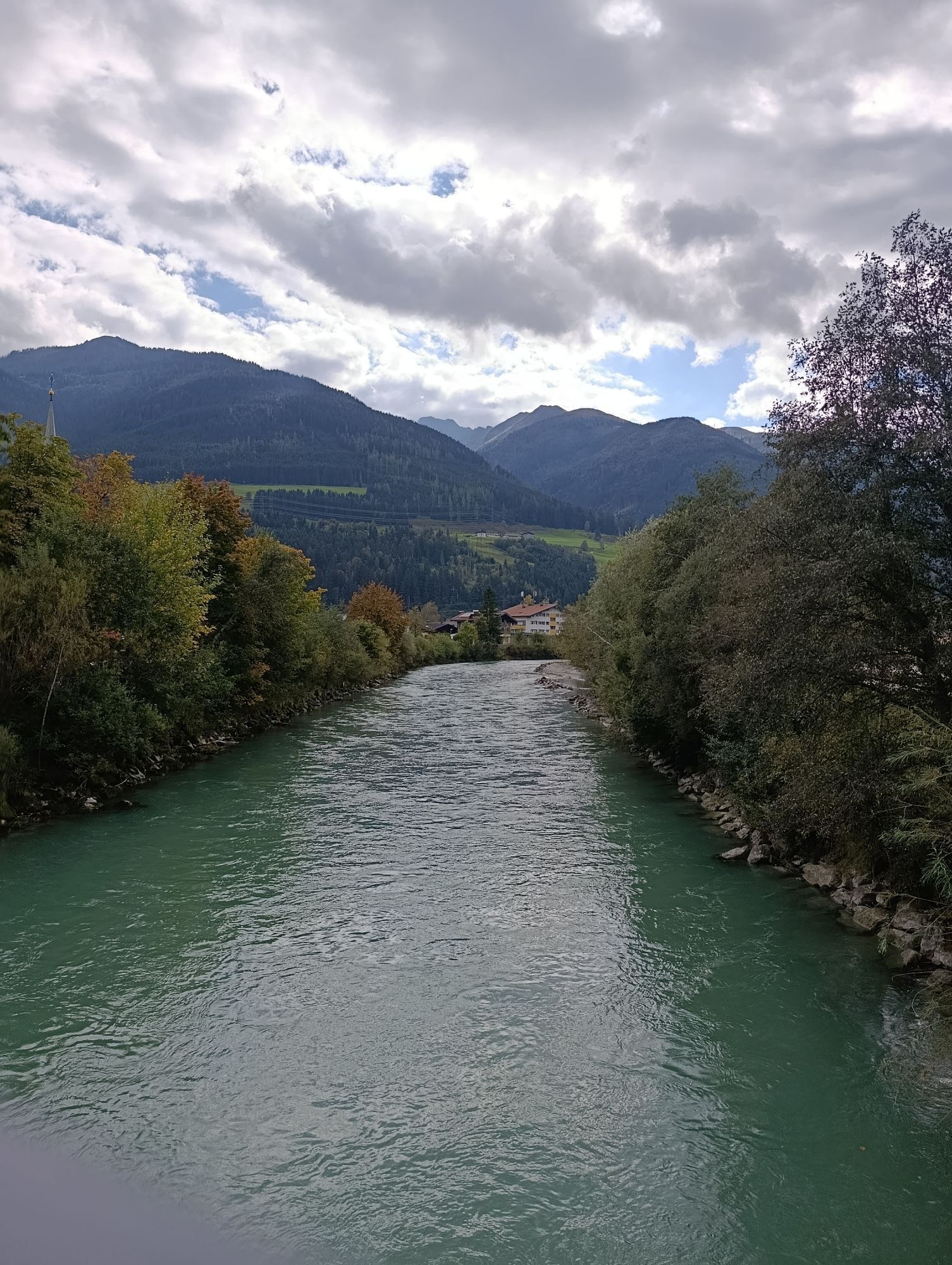
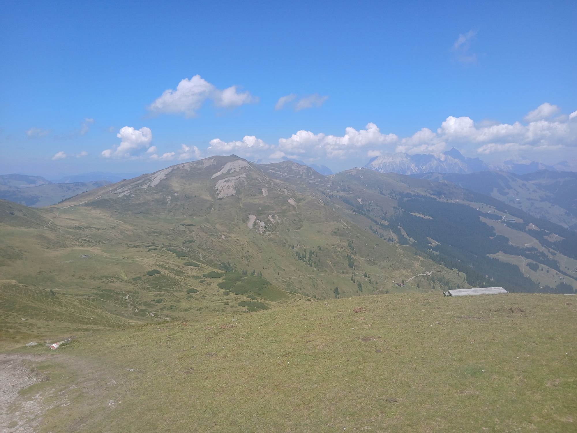
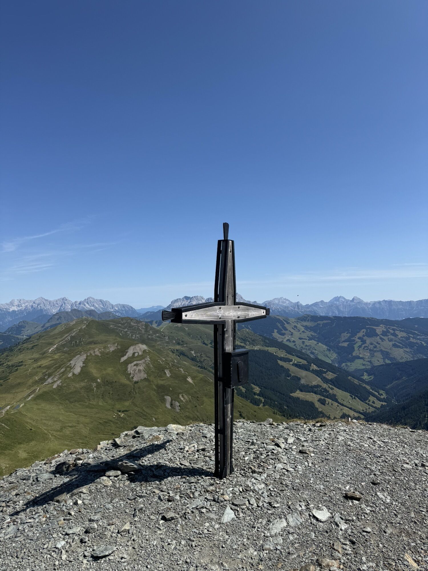
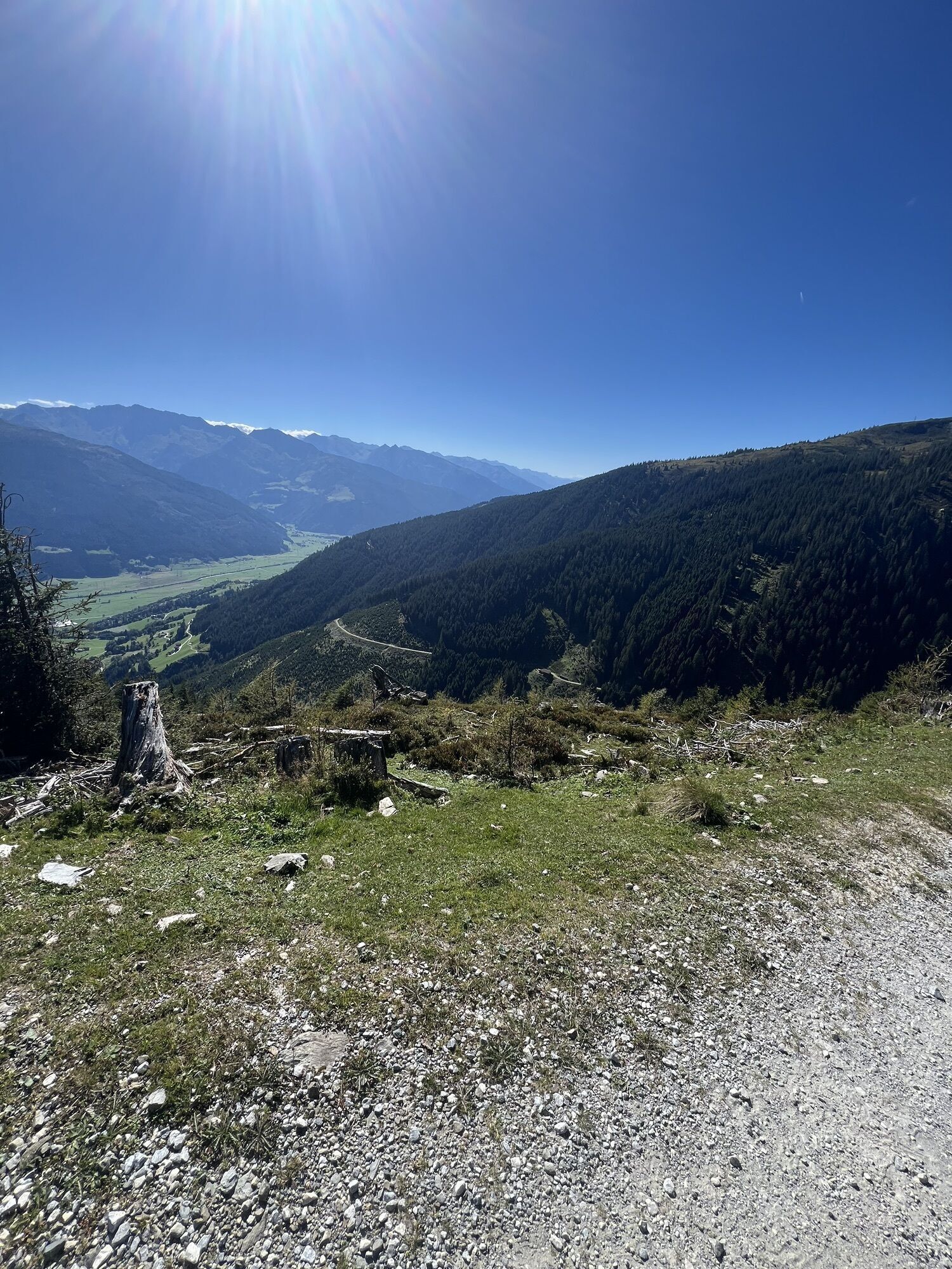
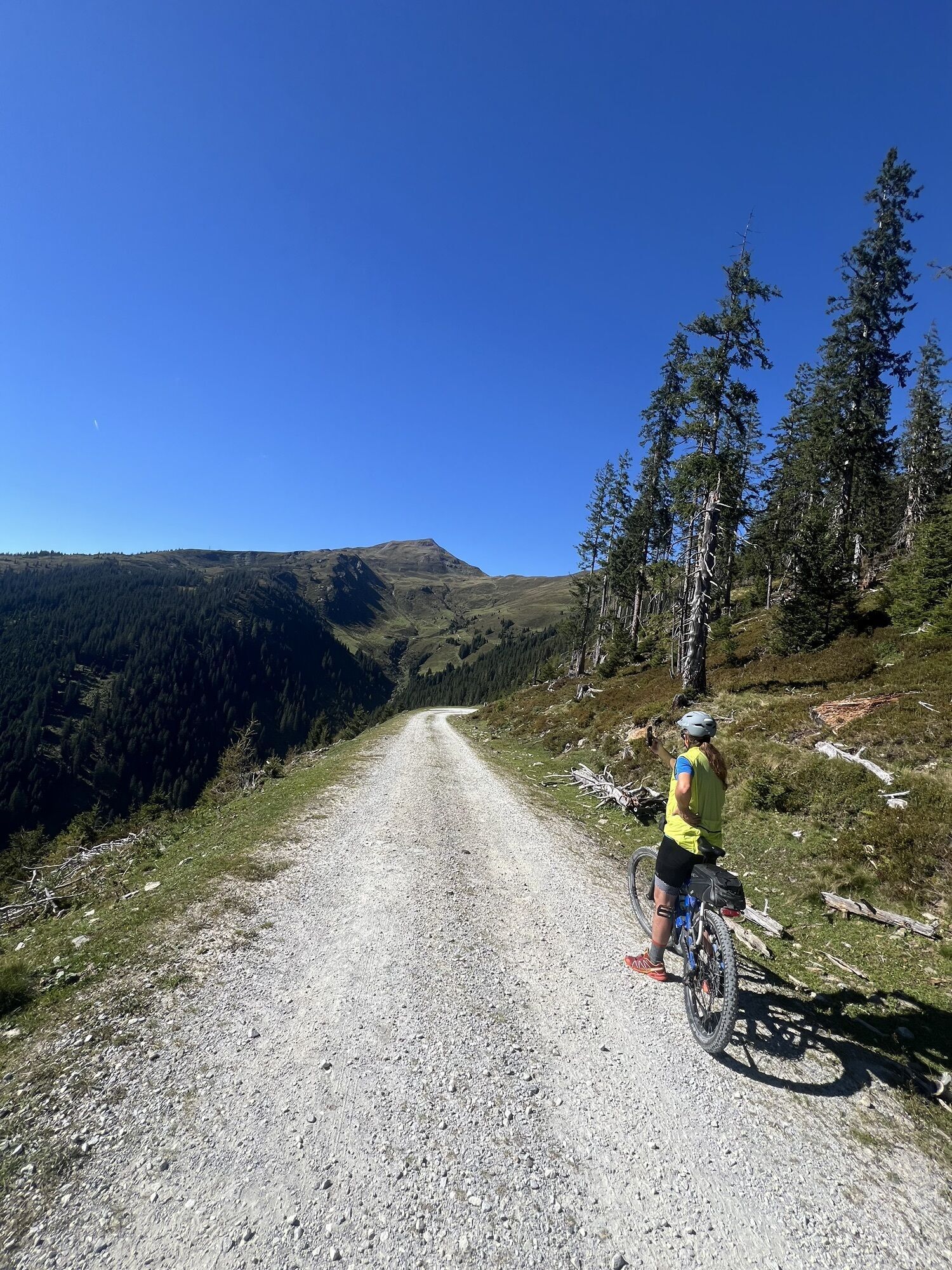
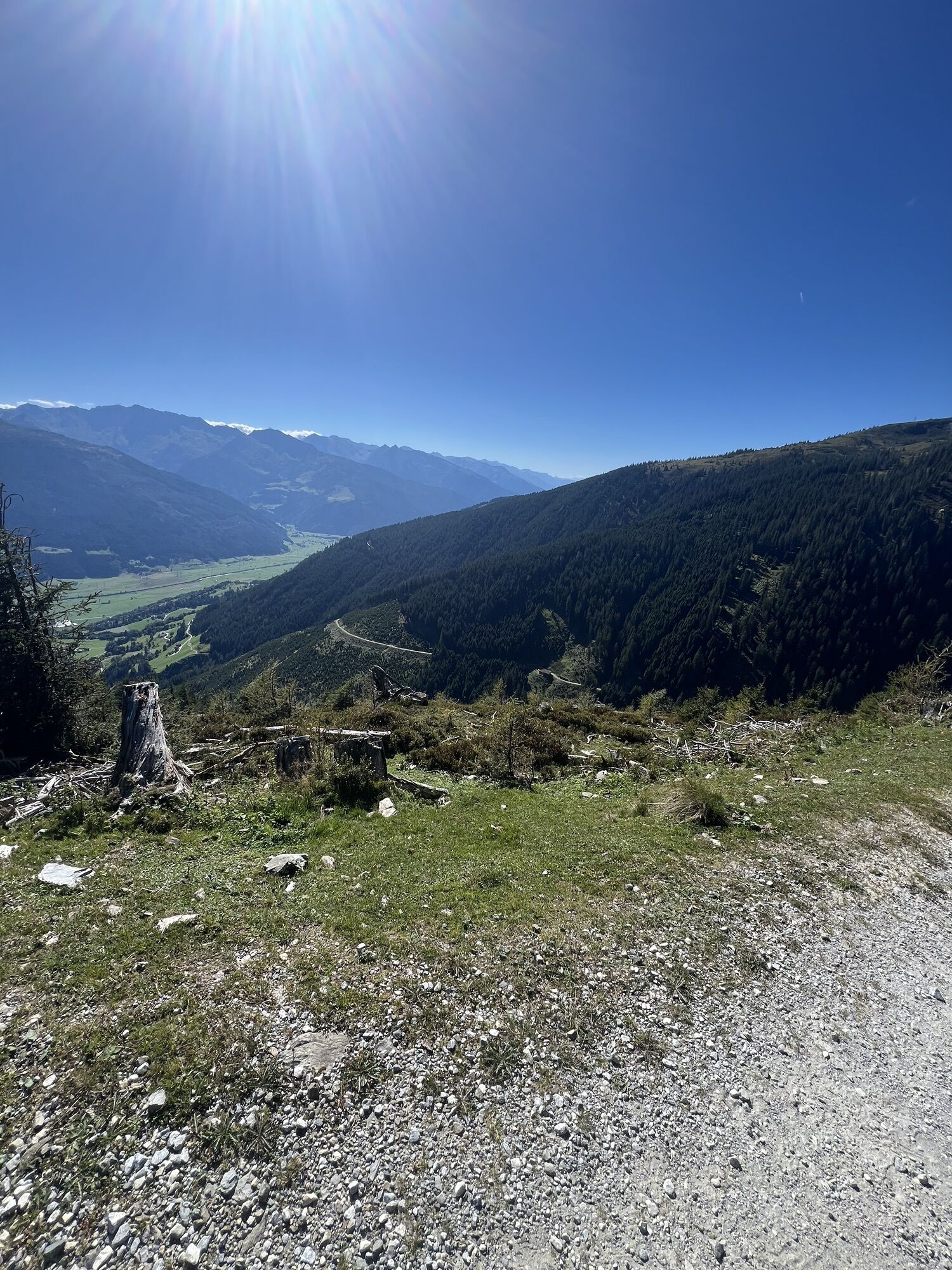
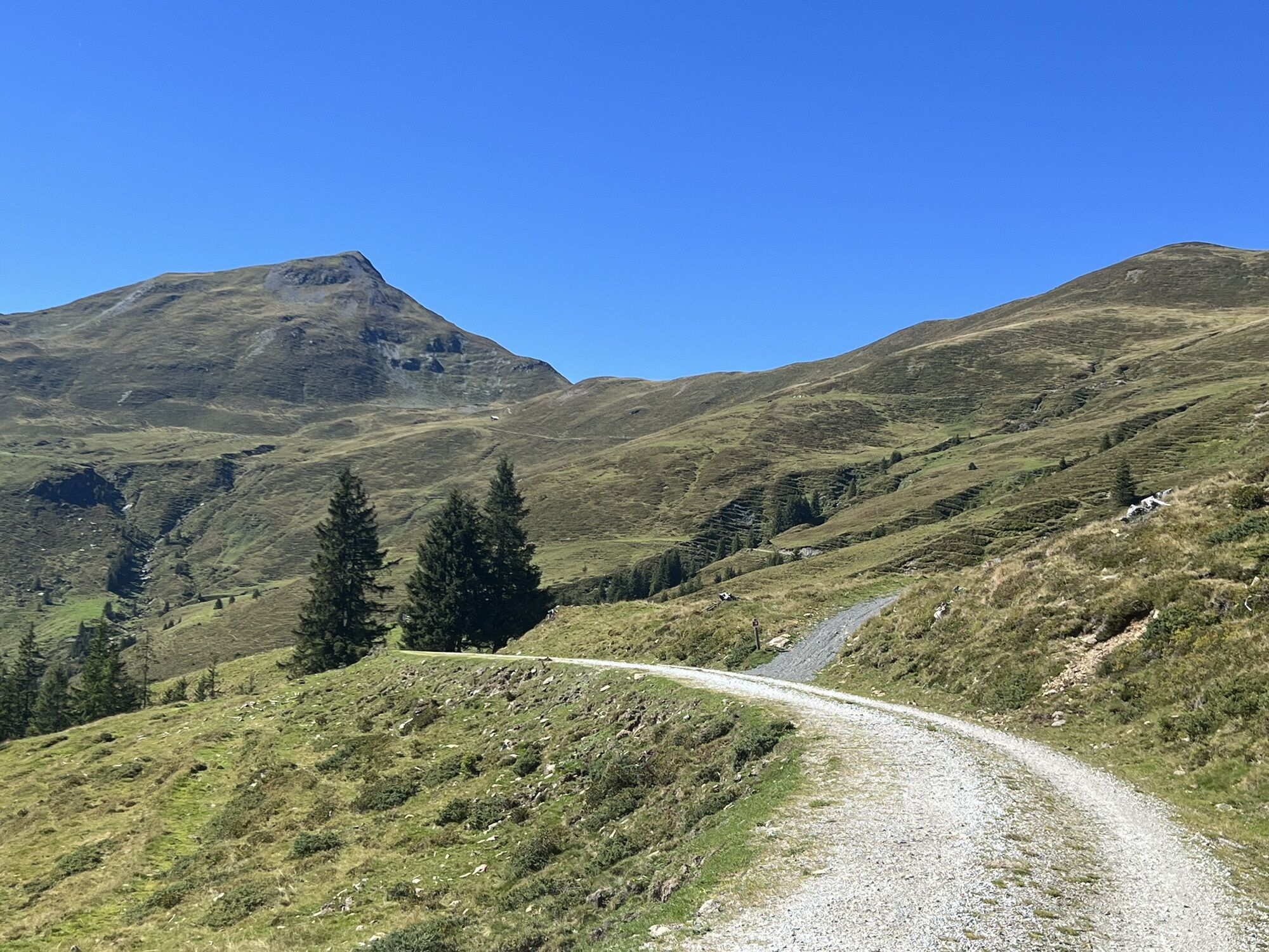
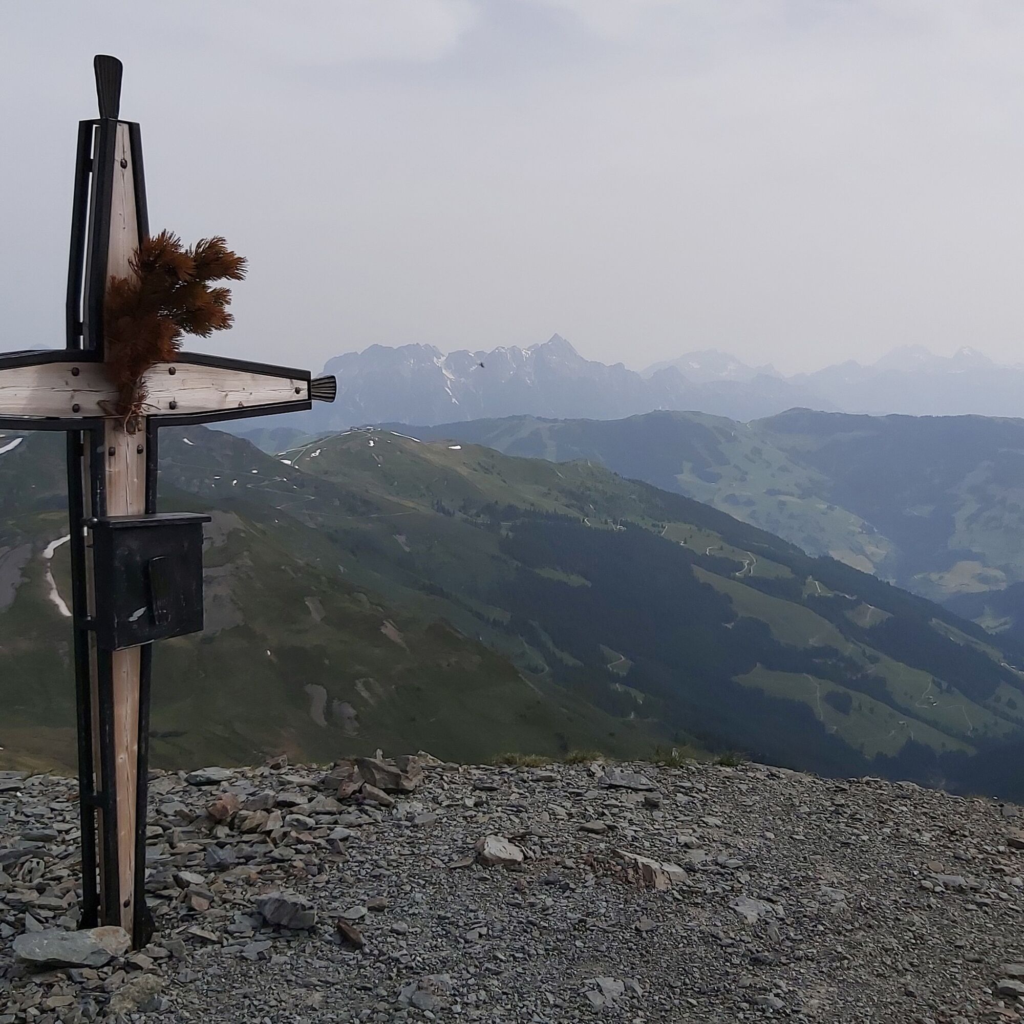
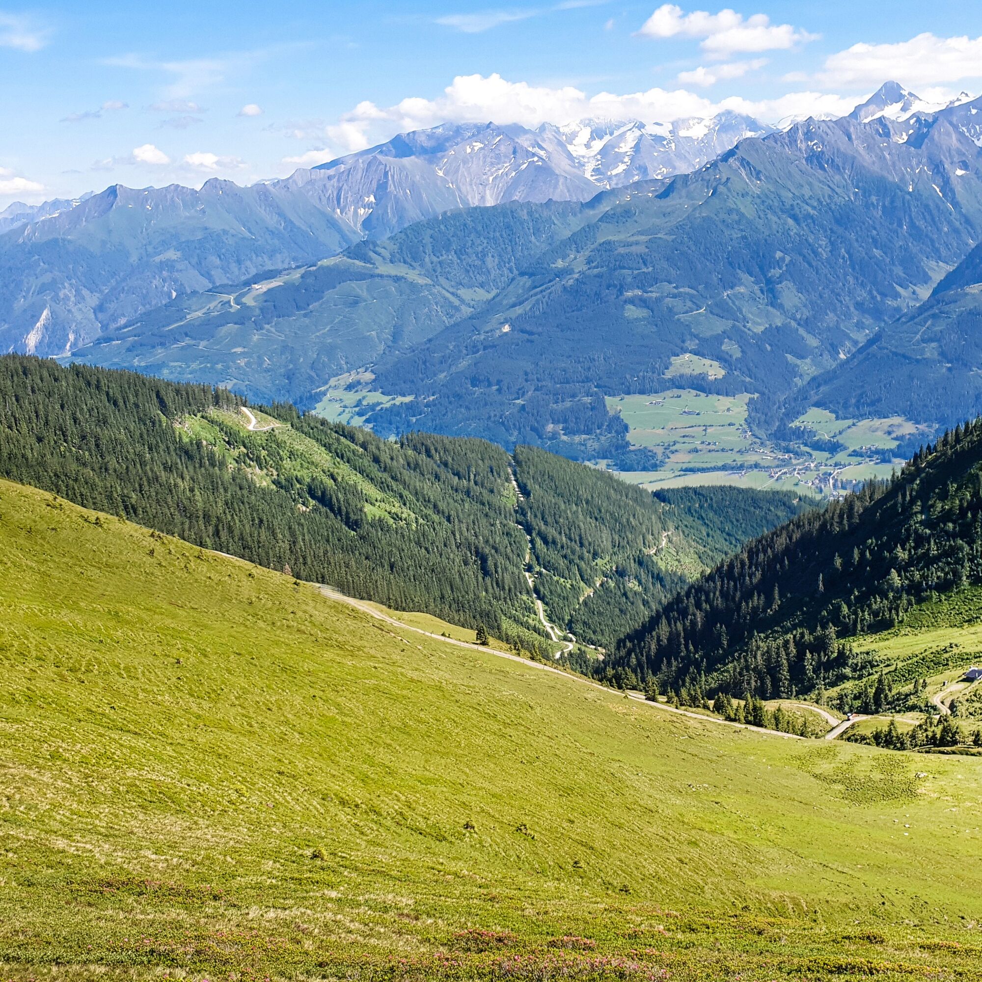
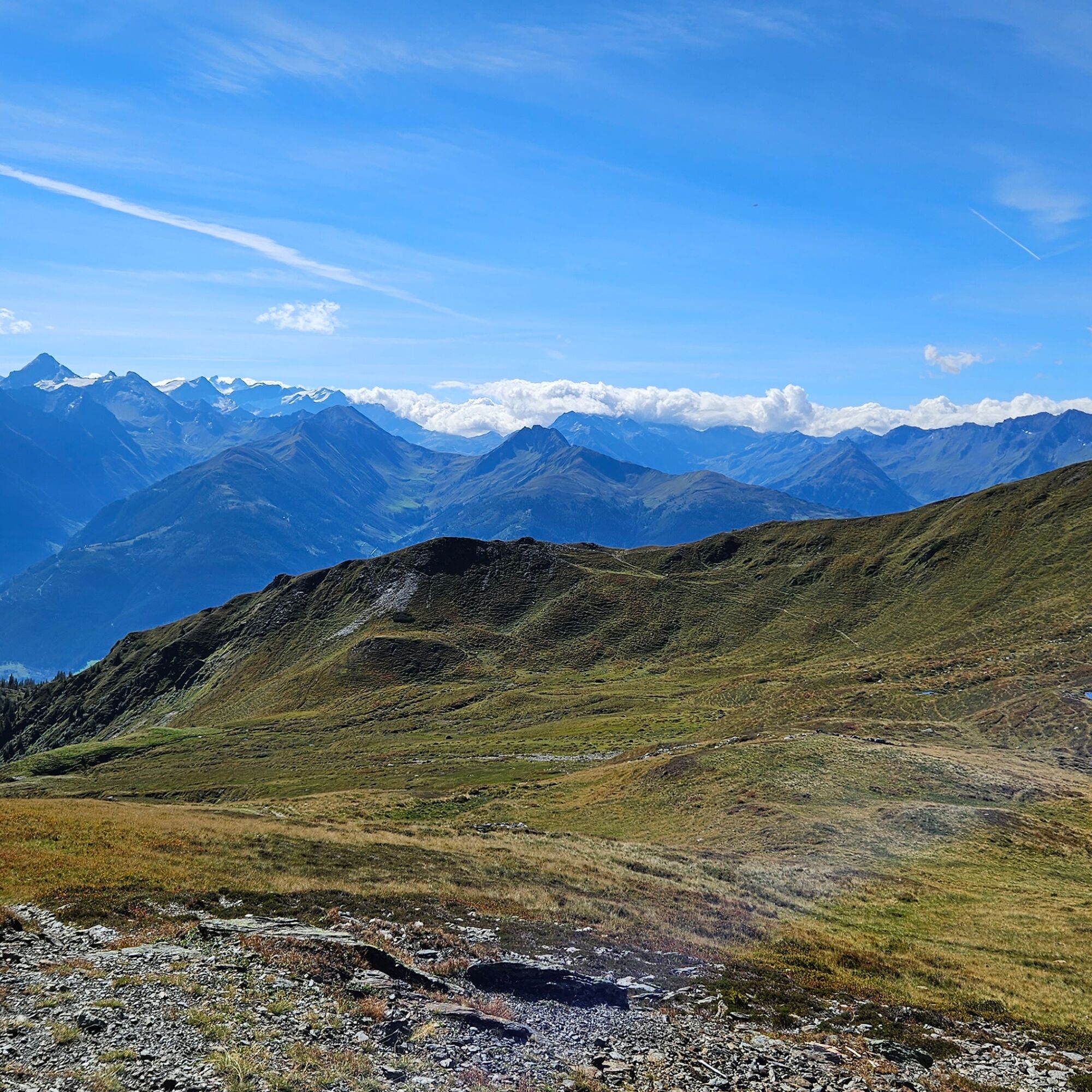
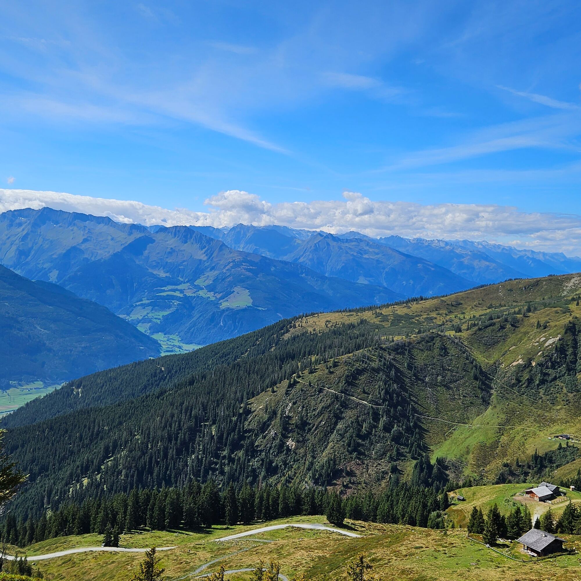
After the somewhat steeper but worthwhile ascent from the Klingler Törl to the summit of the Hochkogel, this beautiful tour offers unique views of the surrounding mountains for experienced mountain hikers.

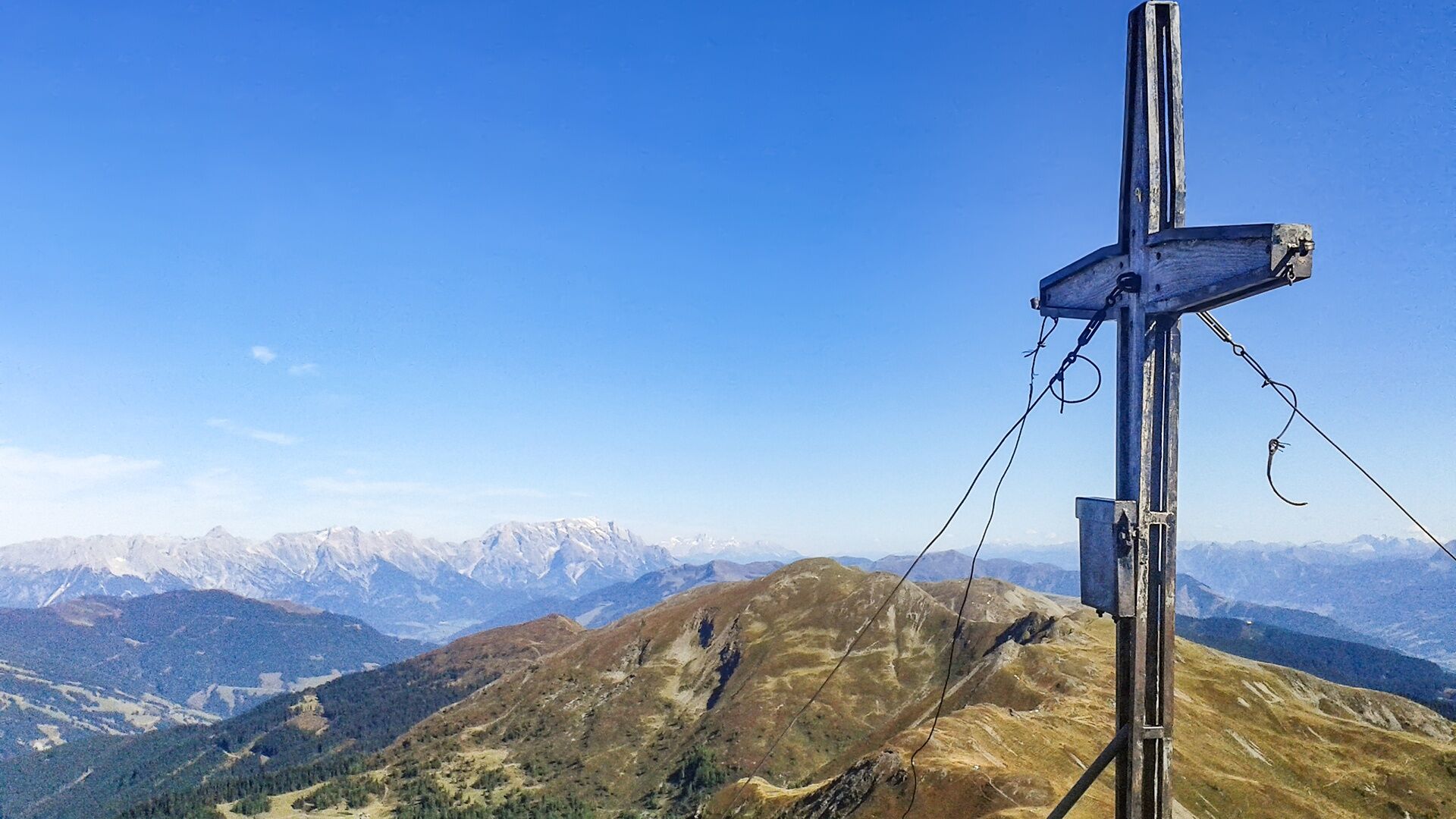

Limited parking spaces Hochprack - hiking time approx. 6.5 hours (there & back)
Ano
Ankle-high mountain boot, drinks & snacks, backpack, rain protection & mobile phone
We hope that the snacks and drinks you take with you on your hike will give you the strength to carry back the packaging material and empty cans and bottles.
We kindly ask you to observe the Fair Play & Rules of Conduct!
Fairness and mutual consideration form the basis for a common together and the protection of the various interests in the natural region!
Sufficient parking available in the centre of the village. Limited parking at parking lot Hochprack!
Webové kamery z prohlídky
Získejte přehled
Vždy živě na místě s více než 9 500 webkamerami. bergfex Jako uživatel Pro si nyní můžete zobrazit odpovídající webové kamery pro mnoho prohlídek v aplikaci prohlídky z. Můžete si tak přímo prohlédnout aktuální podmínky.
Oblíbené prohlídky v okolí
-
4.2
Maurerkogel (Top)
Turistika 10.5 km -
4.6
Sigmund Thun Klamm, Klammsee, Bürgkogel
světloTuristika 4.56 km -
4.0
Berg der Sinne
světloTuristika 4.39 km -
4.9
Hochsonnberg Runde
středníMountainbike 59.8 km -
4.5
Thumersbach, Runde um den Zeller See
světloTuristika 13.3 km -
4.4
Sigmund Thun Klamm
světloTuristika 3.10 km -
5.0
Leo’s play hiking trail
světloTematická stezka 4.89 km -
4.3
Saalachtaler Höhenweg EAST (Asitz - Biberg)
středníTuristika 13.1 km -
4.6
Panorama route 3 peaks and 2 lakes
středníTuristika 7.21 km -
4.7
Tristkogel
heavyTuristika 15.6 km
Pěší turistika a stopování


Nenechte si ujít nabídky a inspiraci pro vaši příští dovolenou
Vaše e-mailová adresa byl přidán do poštovního seznamu.





