


Hüttschlag: Kreuzeck- Karteistörl - Tappenkarsee - Draugsteintörl - Draugsteinalmen
Úroveň obtížnosti: T2
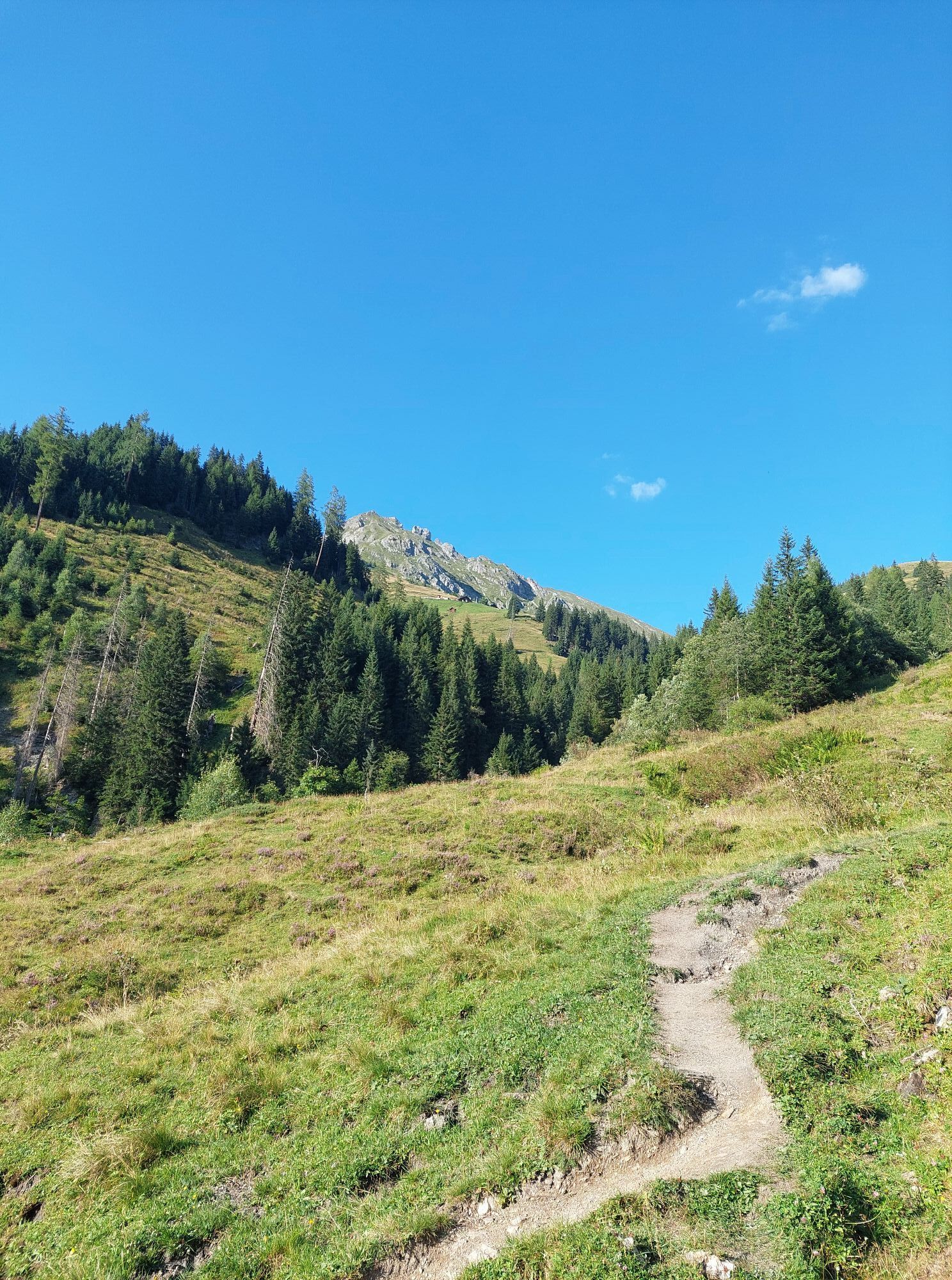
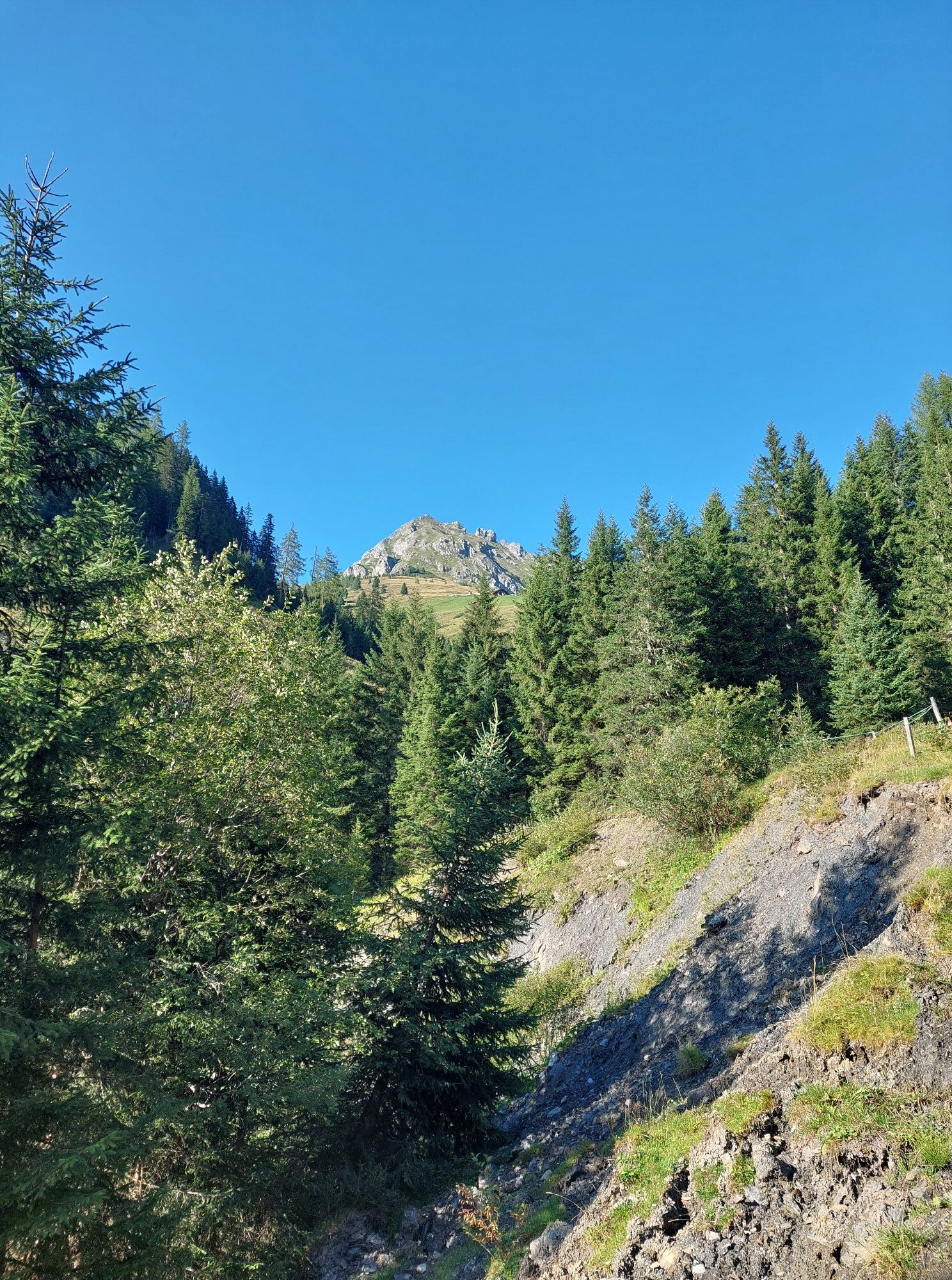

This circular hike begins at the Hallmoosalm parking area in Hüttschlag, which can be reached either by car or conveniently by hiking taxi. The start is gentle, leading initially through shady forest passages...
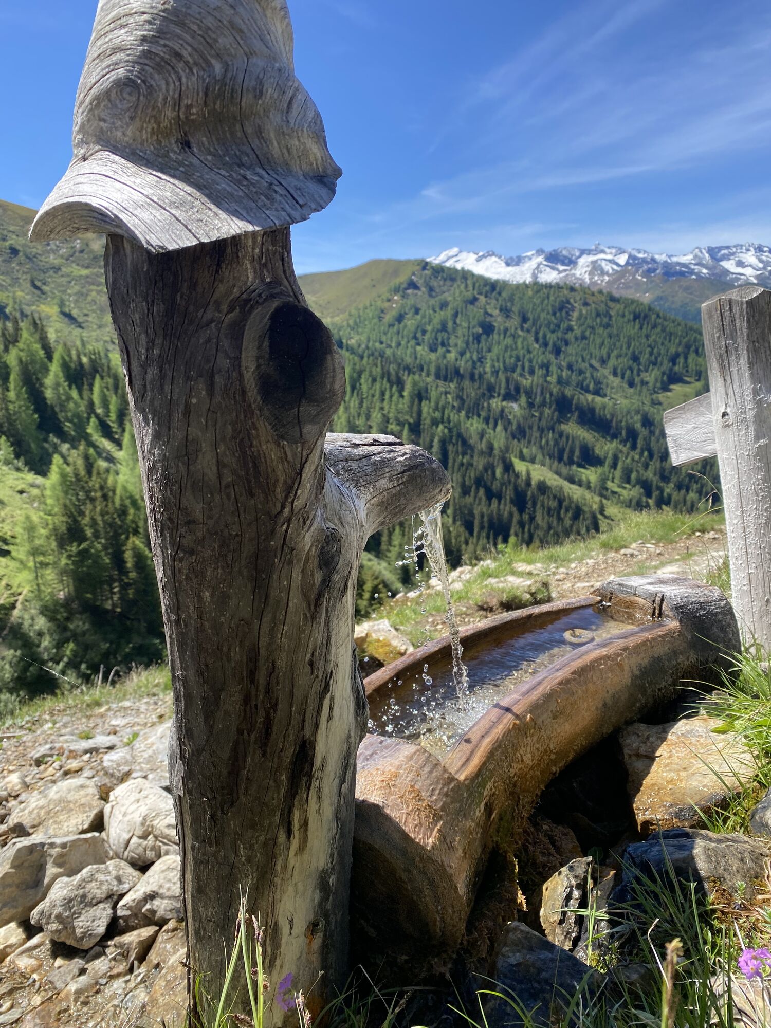
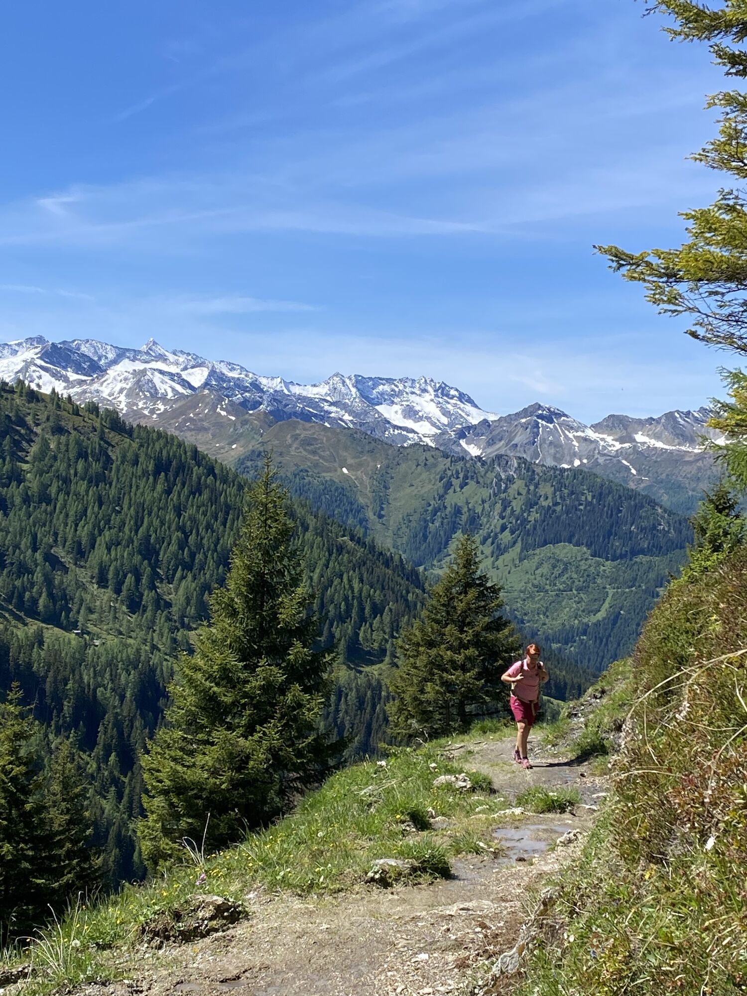
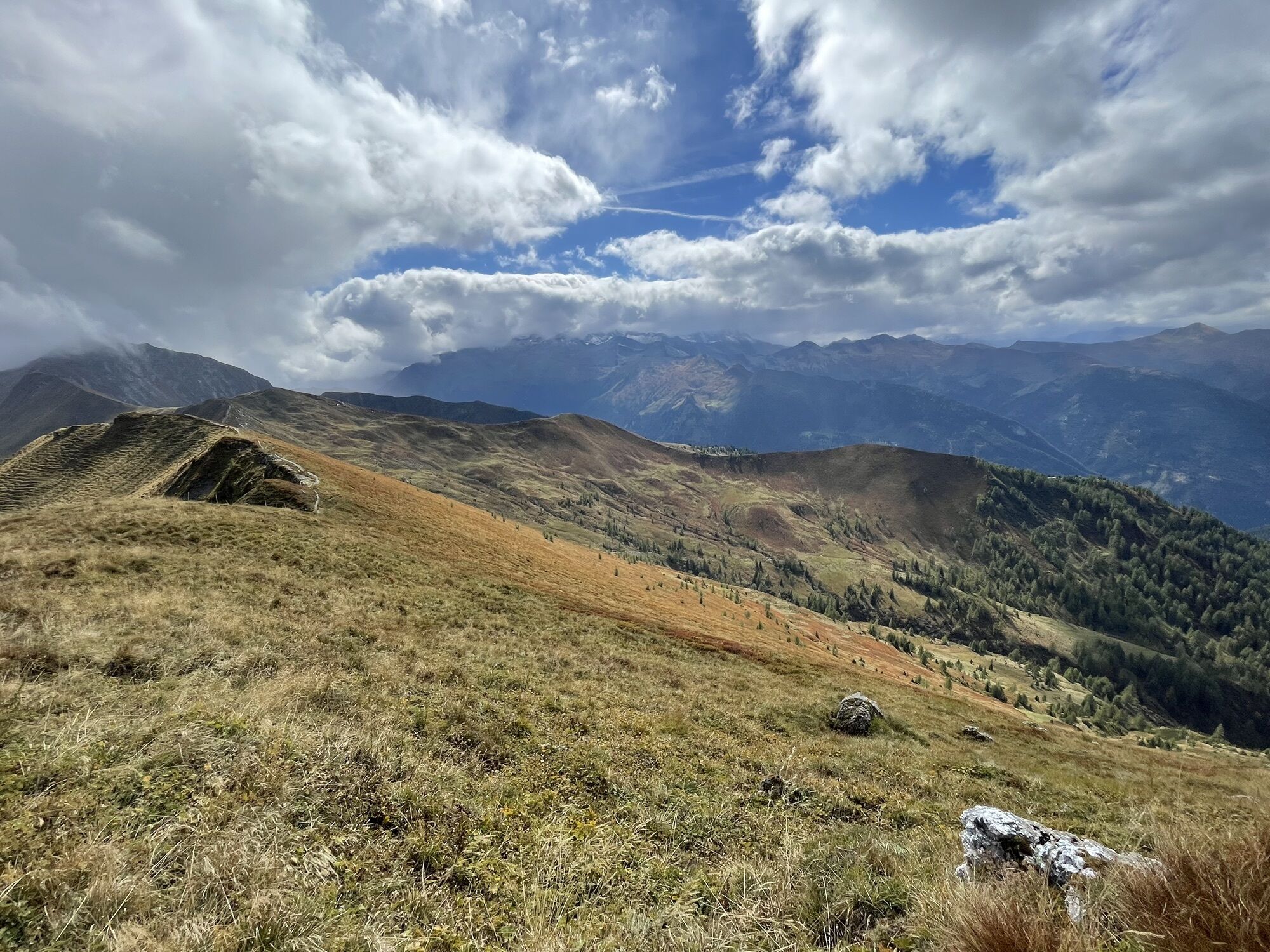
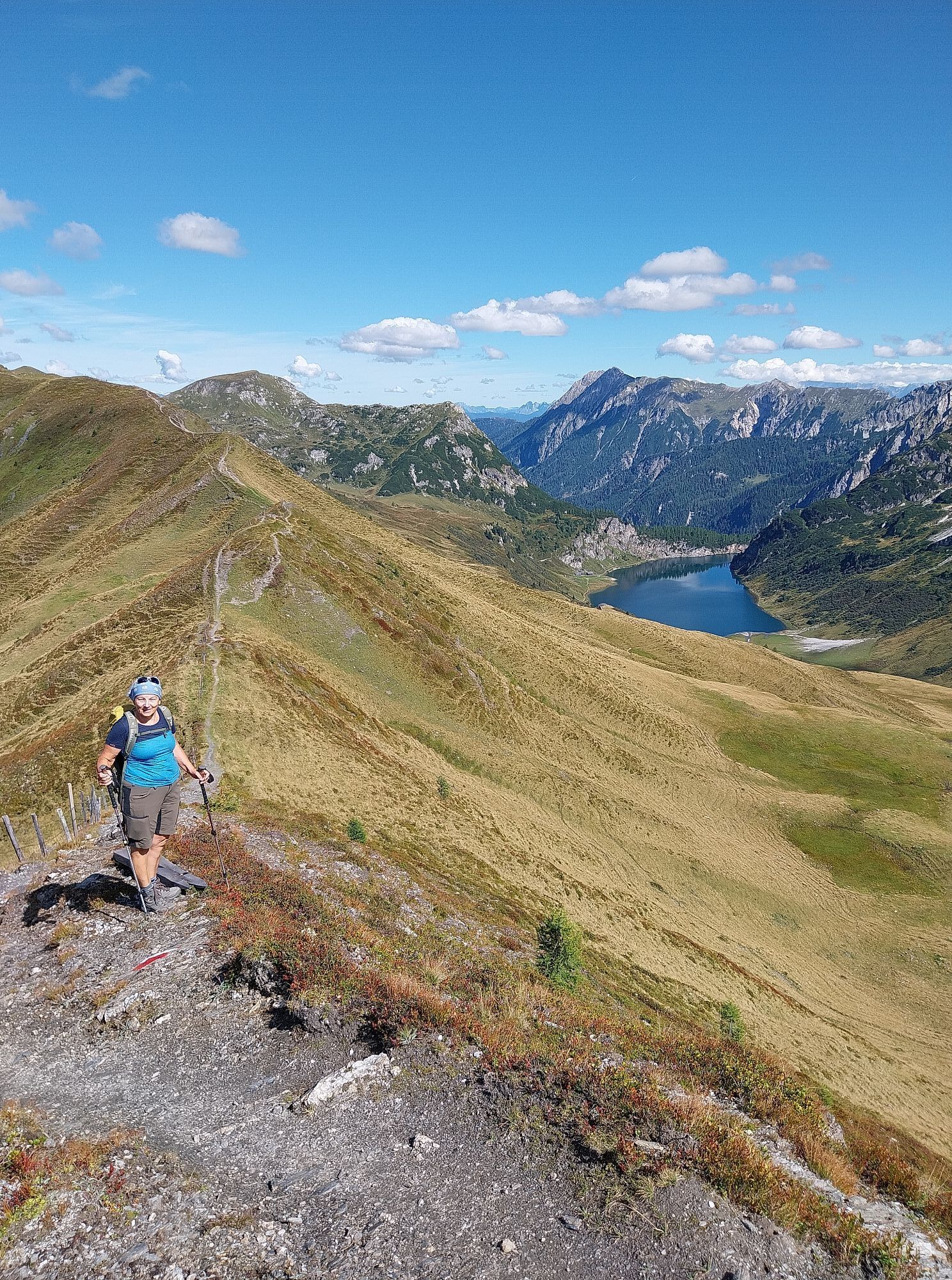
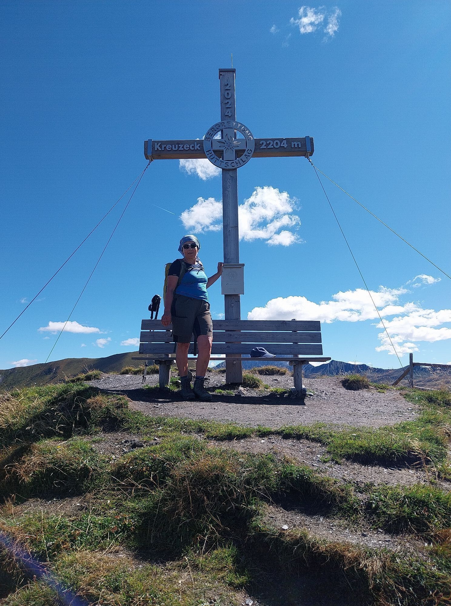
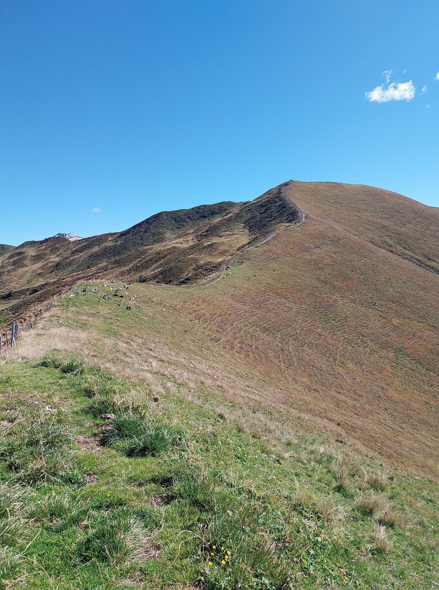
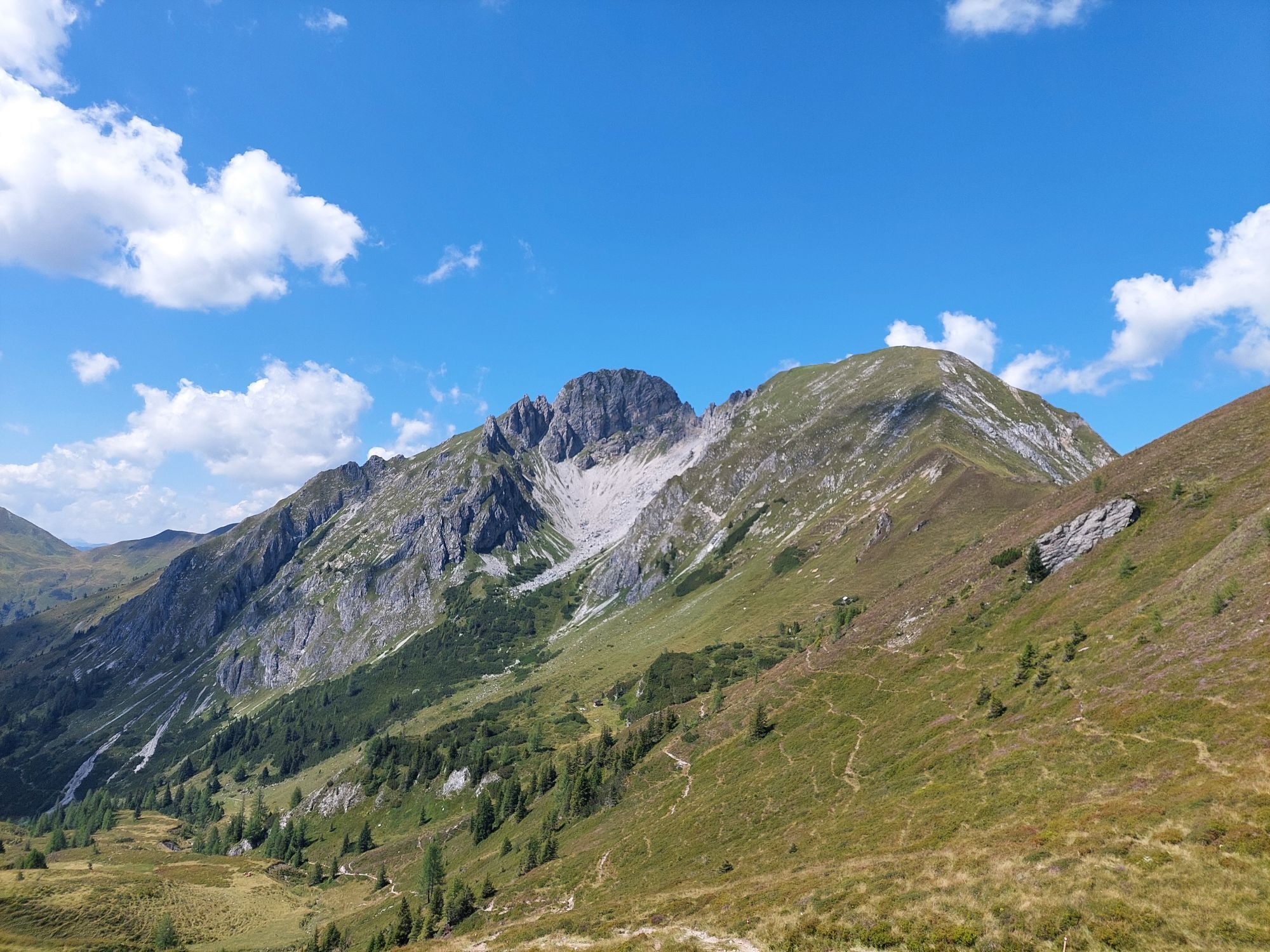
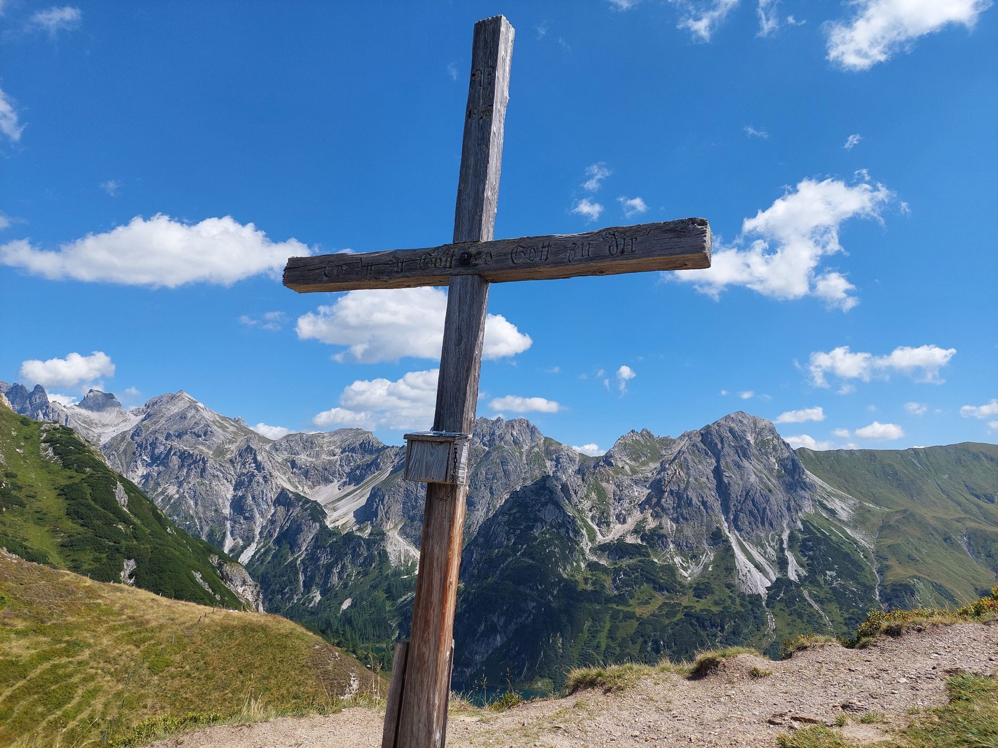
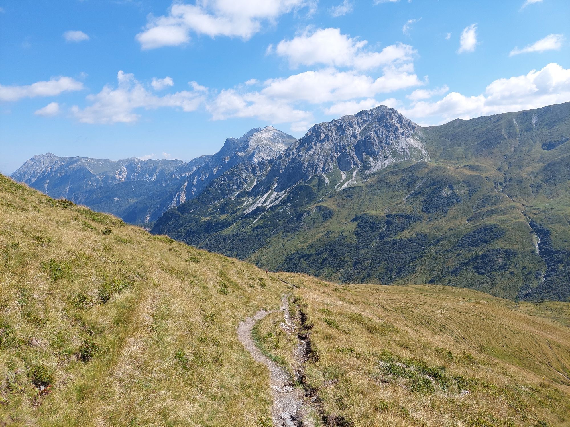
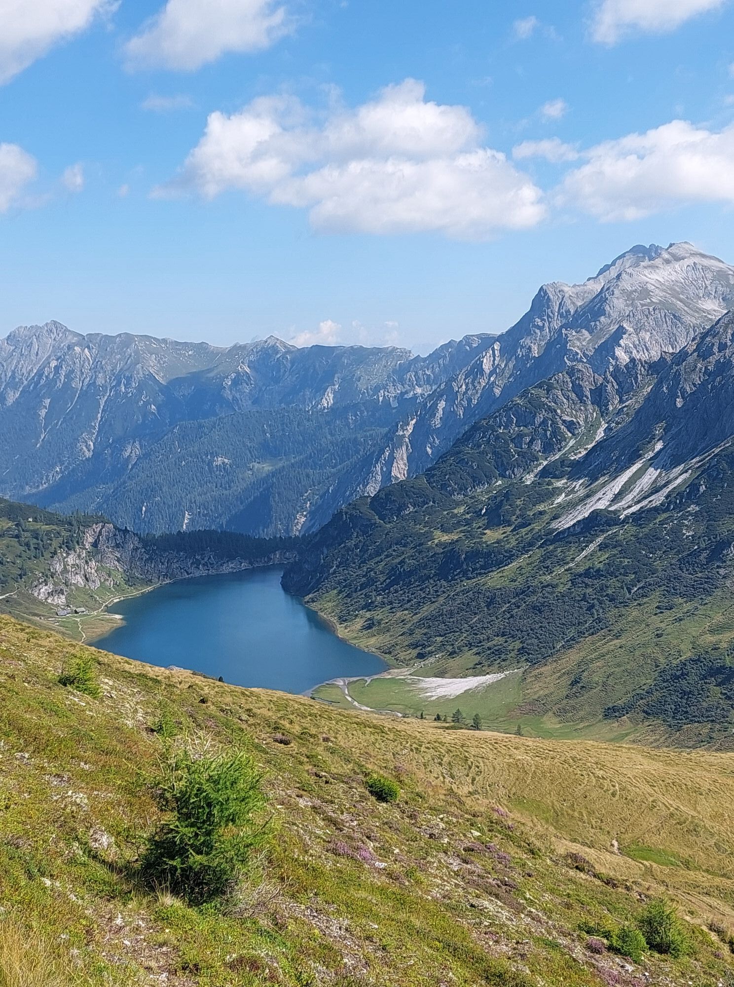
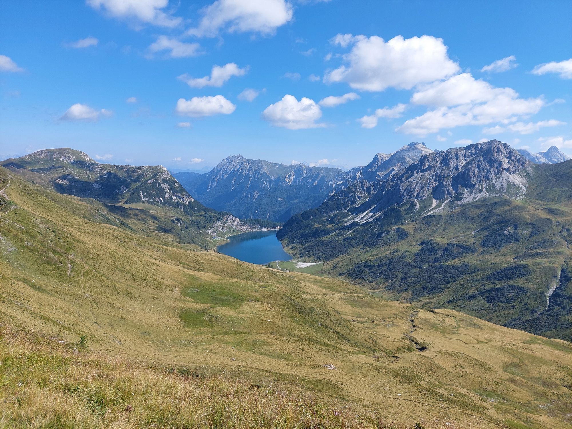
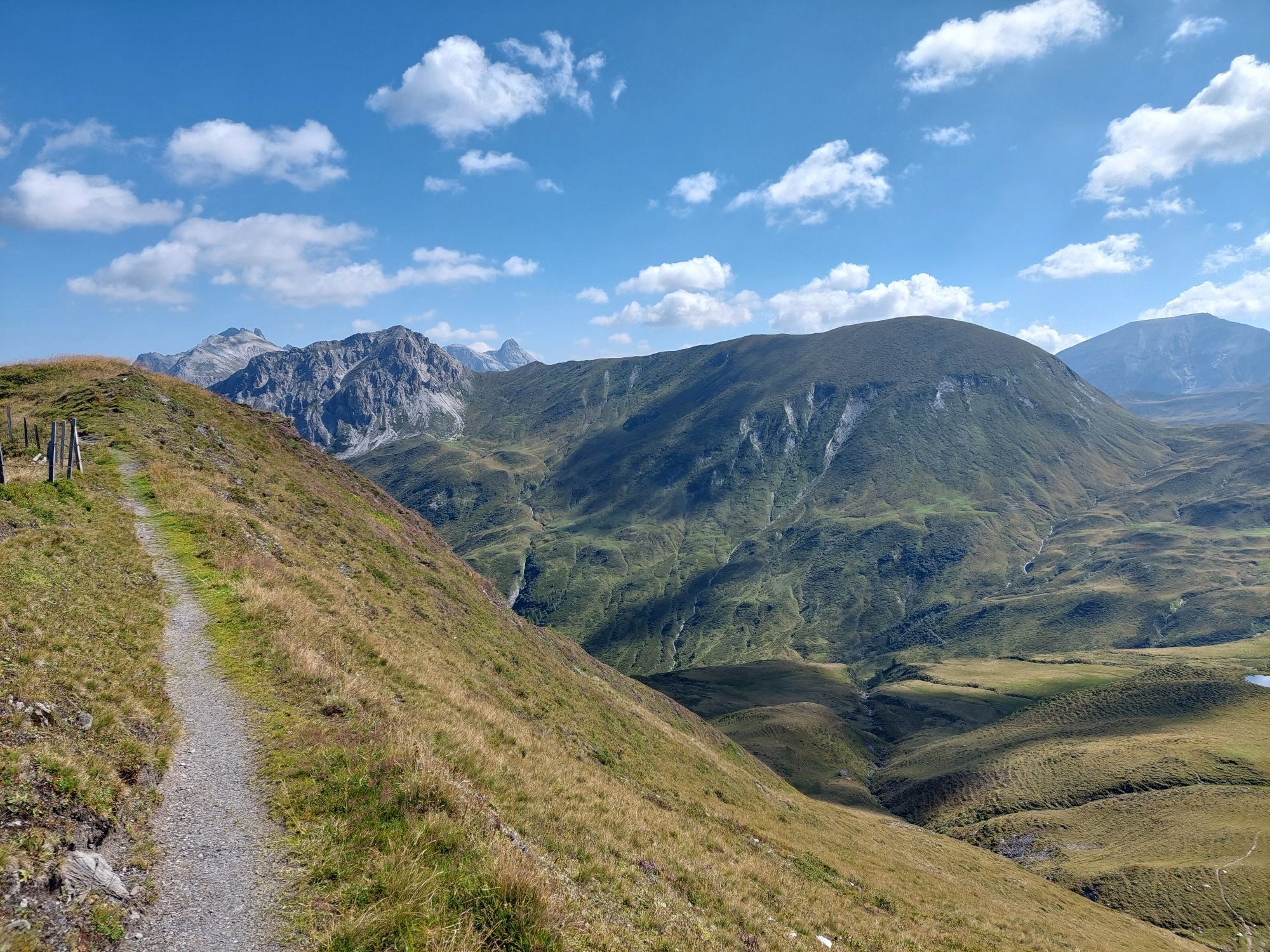
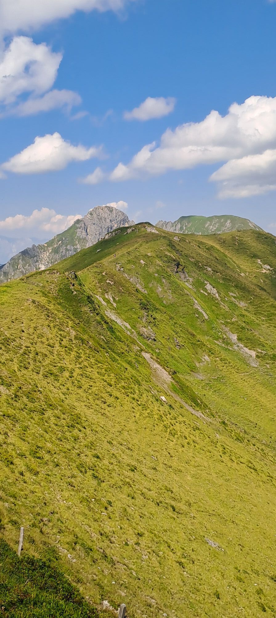
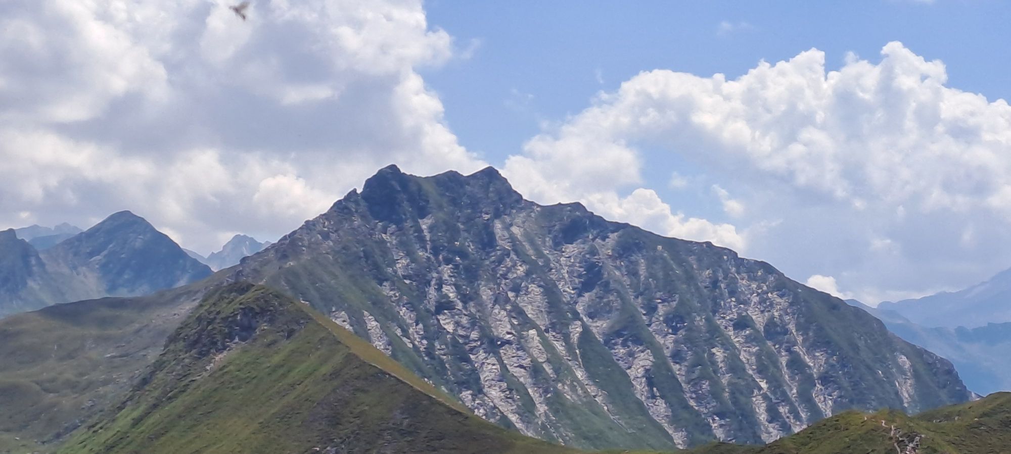
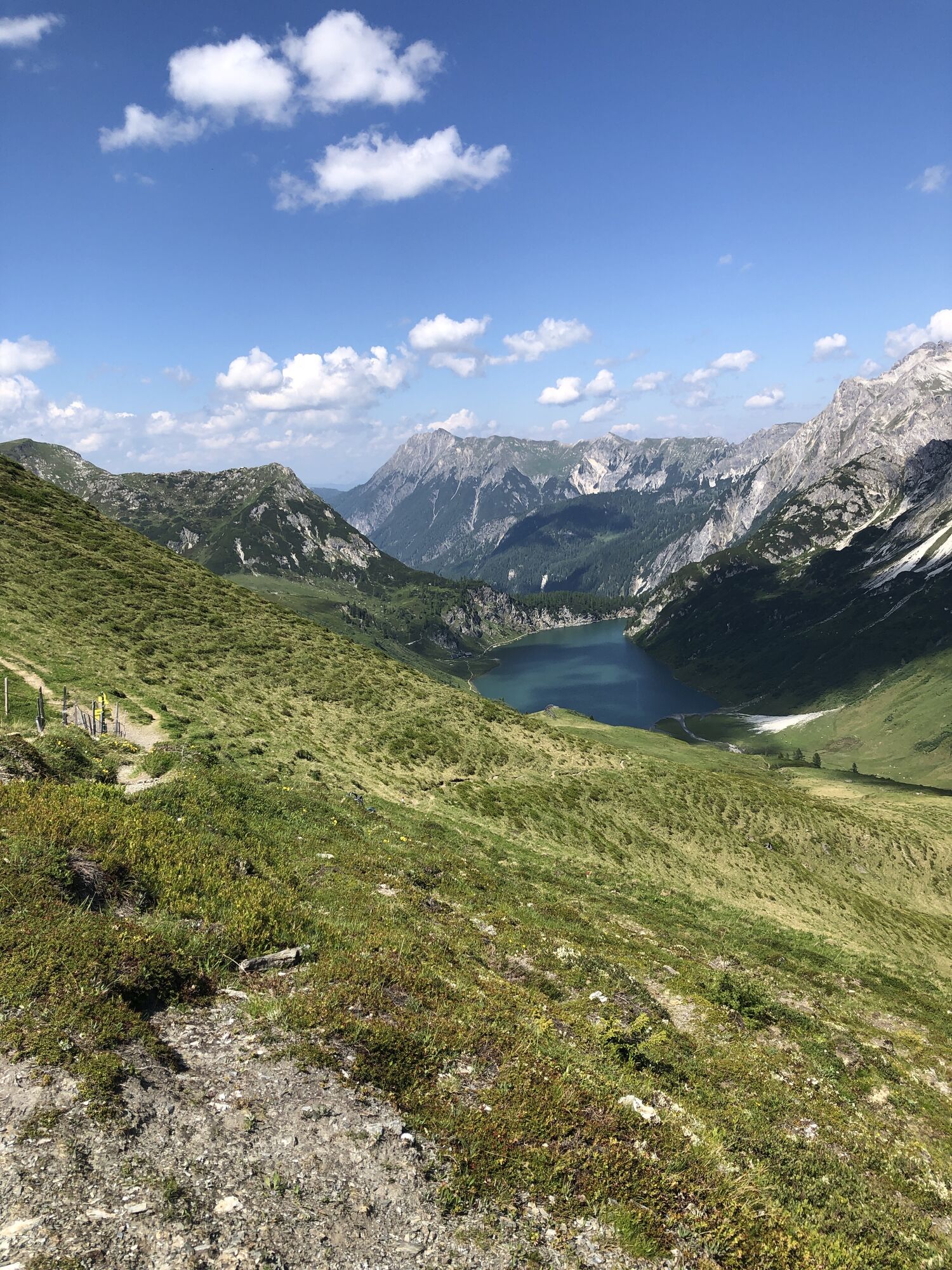
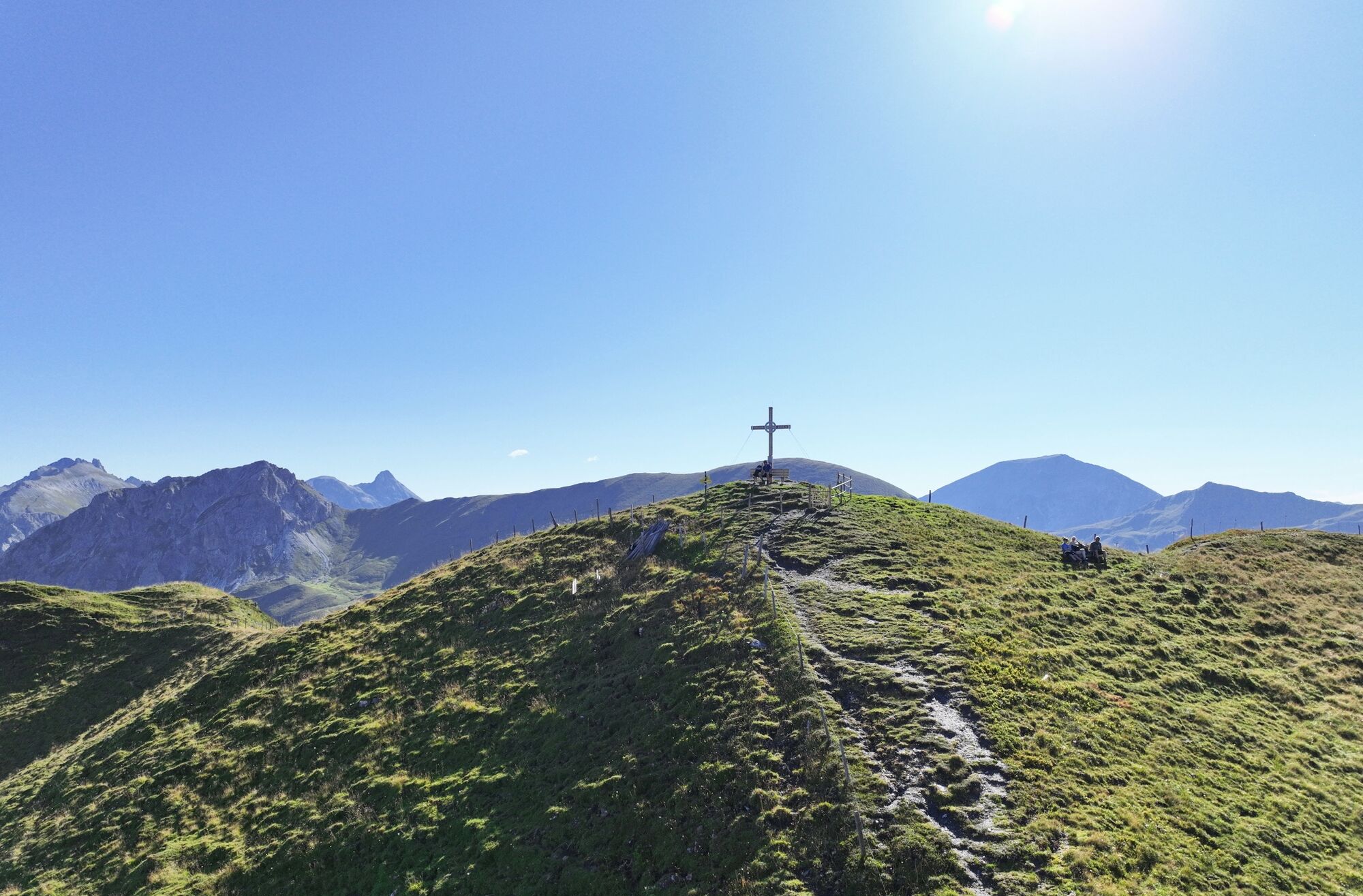
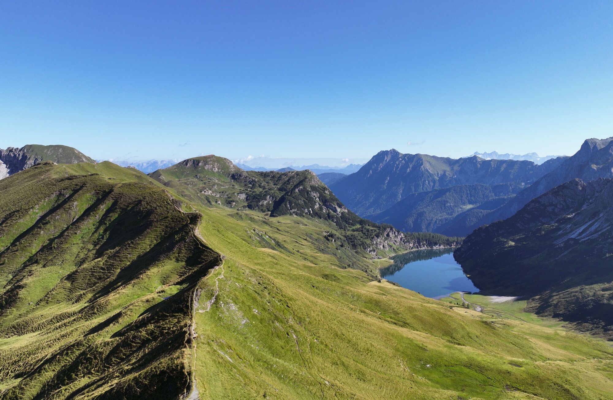
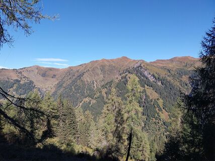
As you climb higher, the view opens up and the ascent to Kreuzeck conveys a distinct feeling of space and freedom. The Kreuzeck is the first major highlight of the tour – a summit moment that invites you to pause and take in the view far beyond the surrounding mountains. The route then follows a scenic high-altitude trail towards the Karteistörl. Along the way, there are impressive views of the Tappenkarsee, the largest mountain lake in the Eastern Alps, which shapes the landscape far below. The crossings, old paths and gate and fence passages along the way bear witness to the craftsmanship of past generations and to an alpine culture that is still alive today.
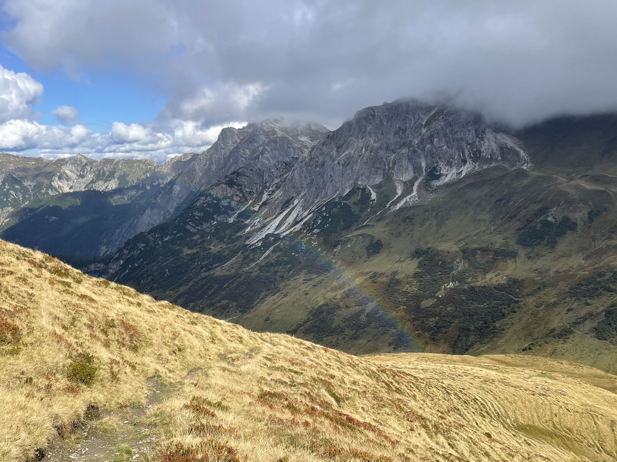
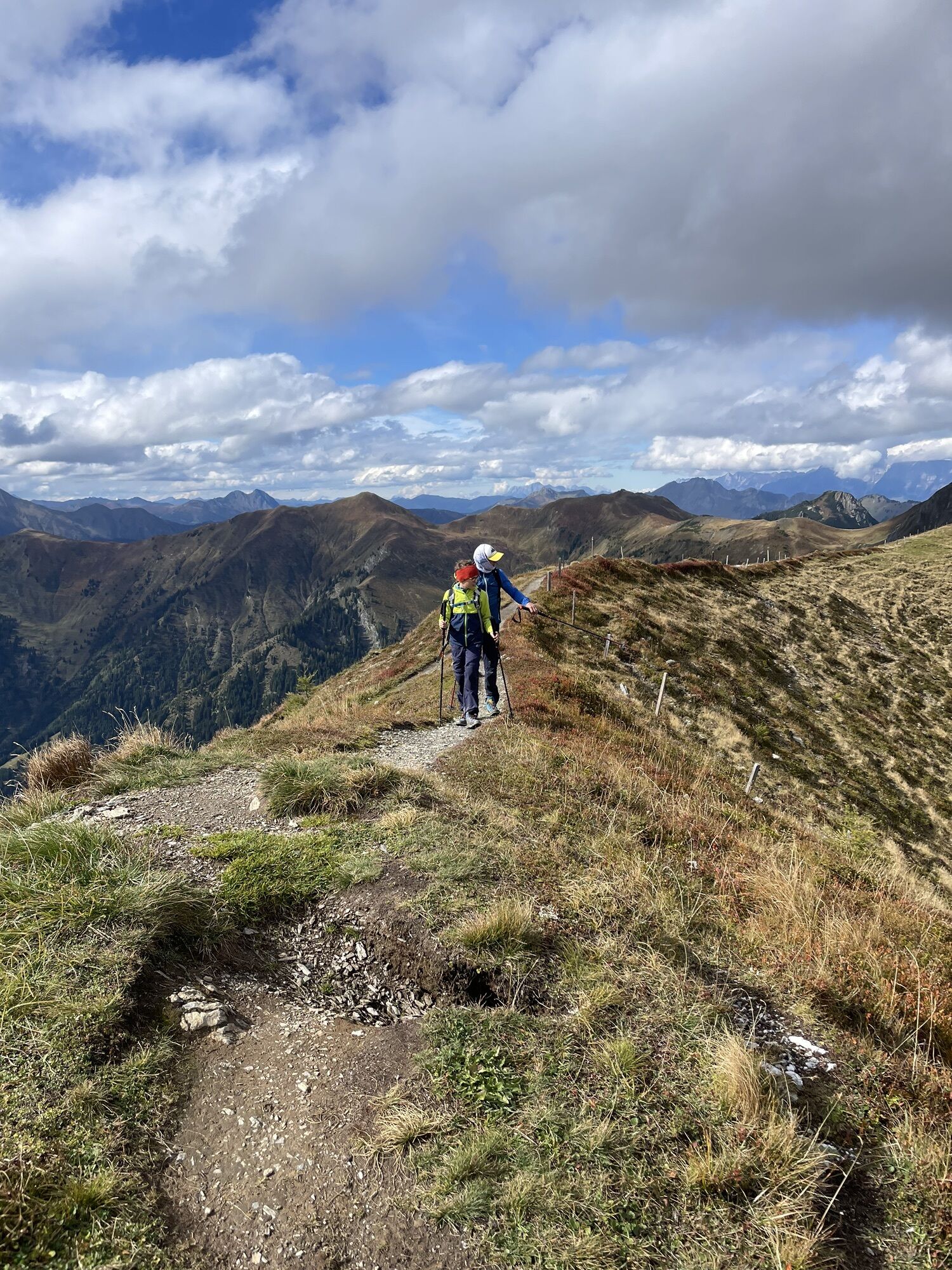
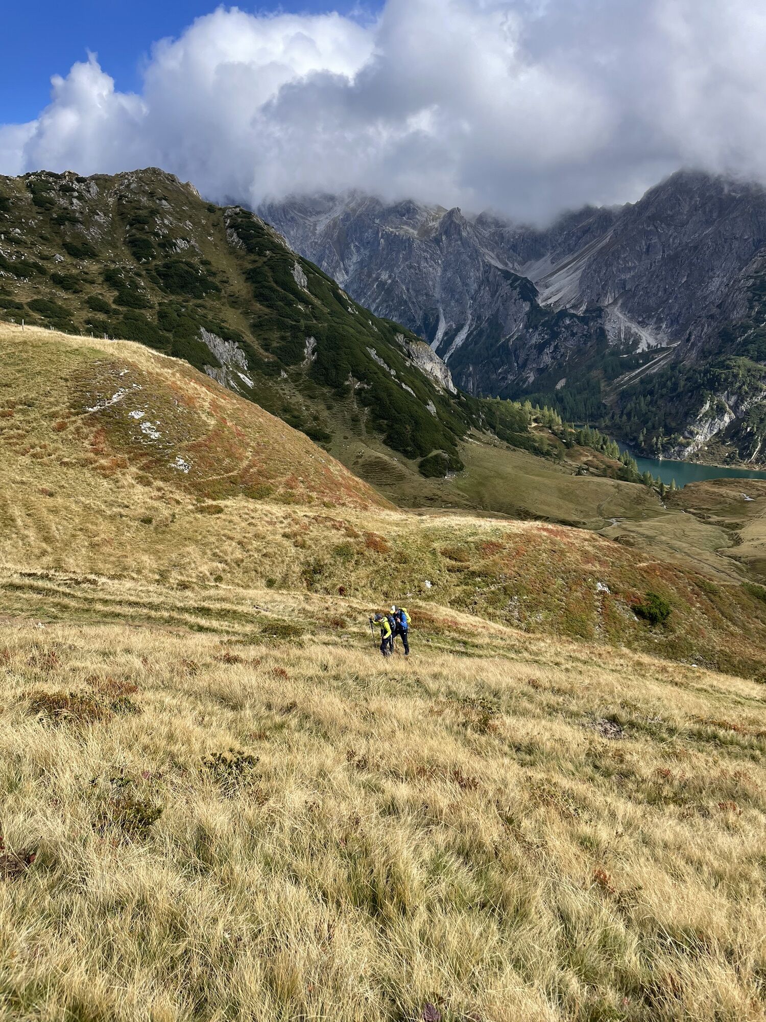
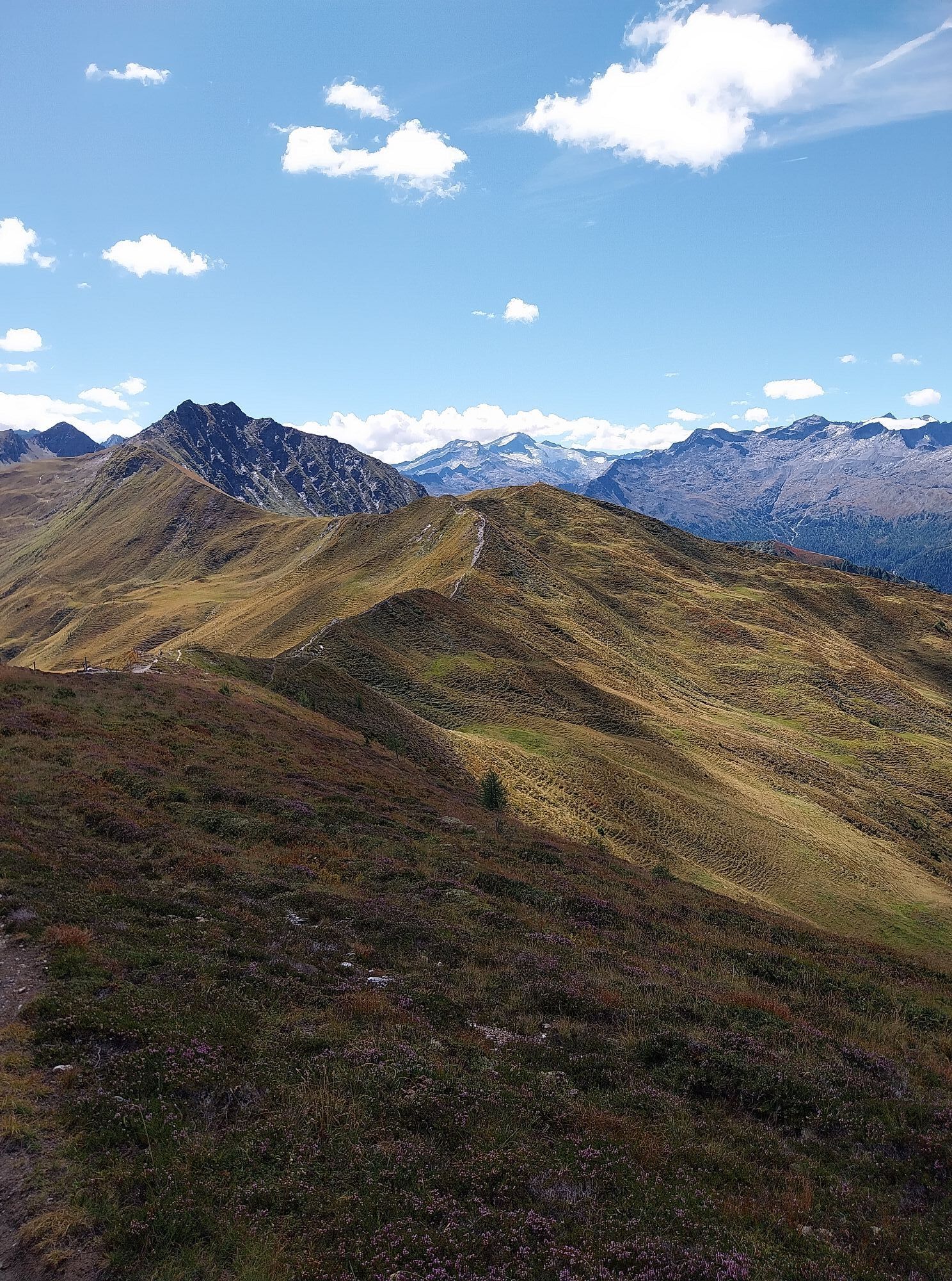
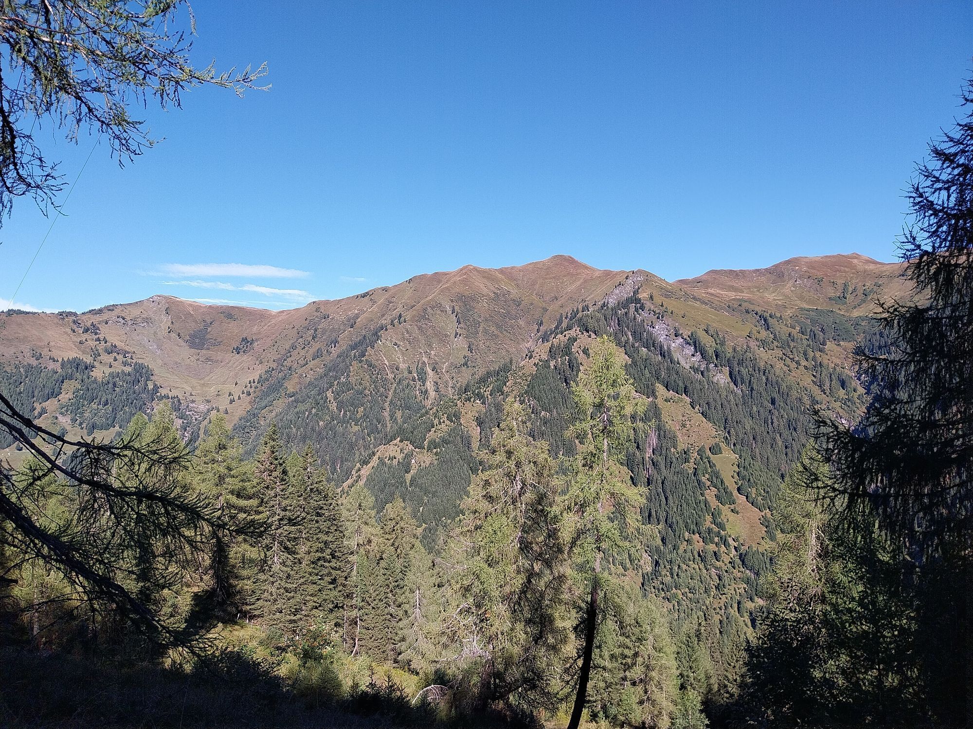
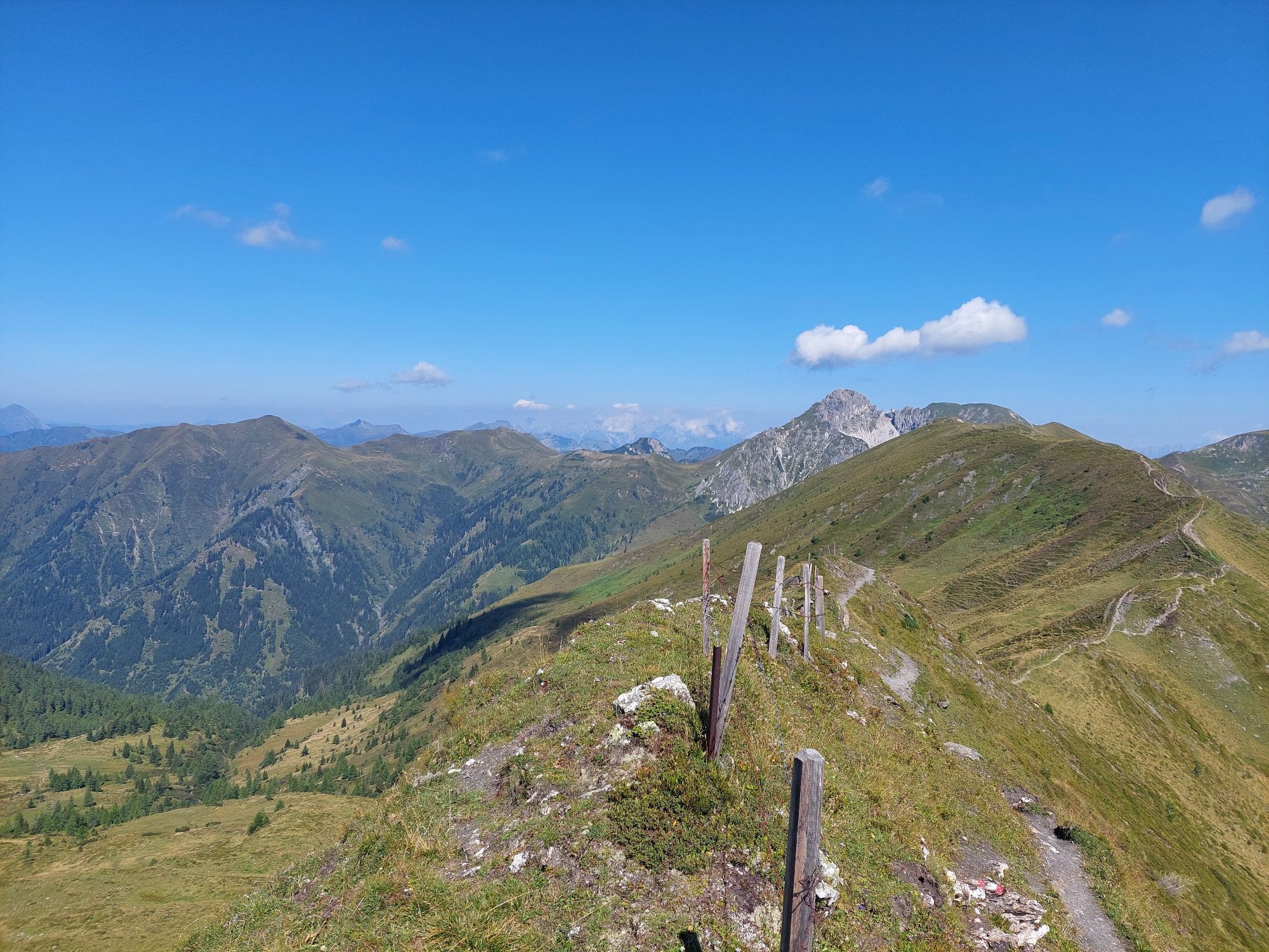
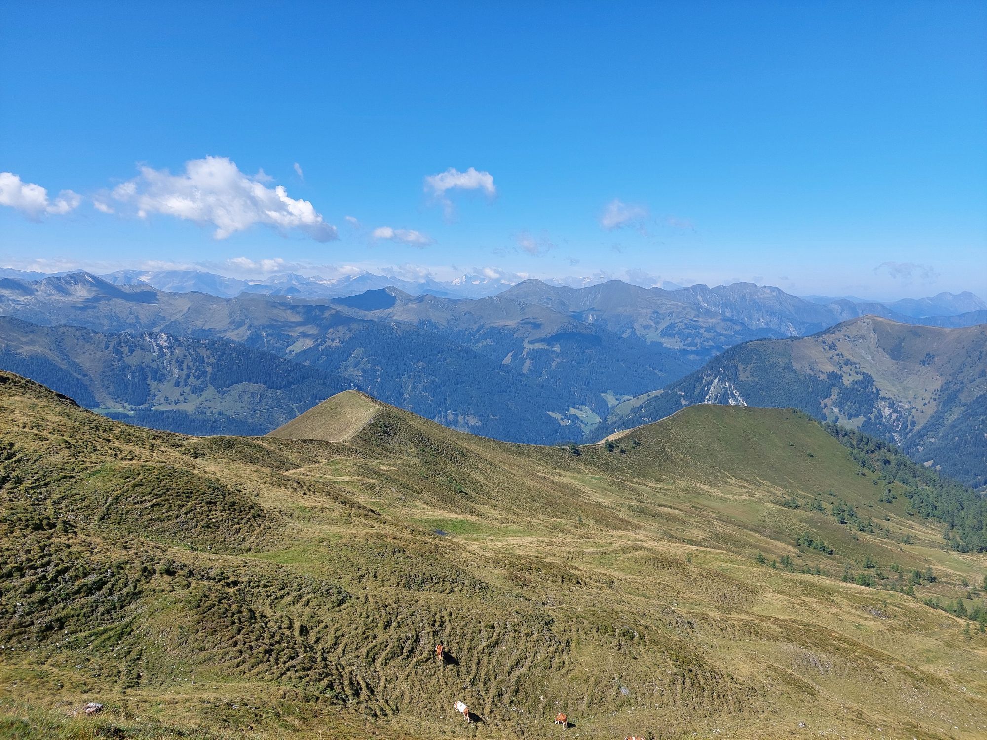
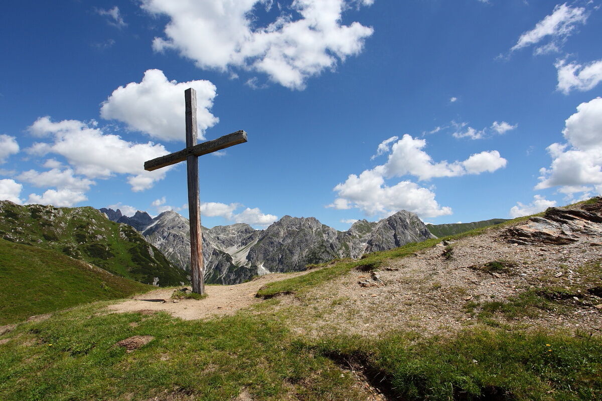
The hike continues along a ridge path to Draugsteintörl. Once there, you can enjoy a final panoramic view of Lake Tappenkarsee before beginning the descent to the Draugsteinalmen alpine pastures. This area is home to a particularly rich variety of alpine flora and fauna: the calcareous subsoil provides ideal living conditions for a diverse range of plants and animals, including numerous rare species of flowers. It is particularly important to treat nature, animals and infrastructure with respect in these sensitive summit and pasture areas.
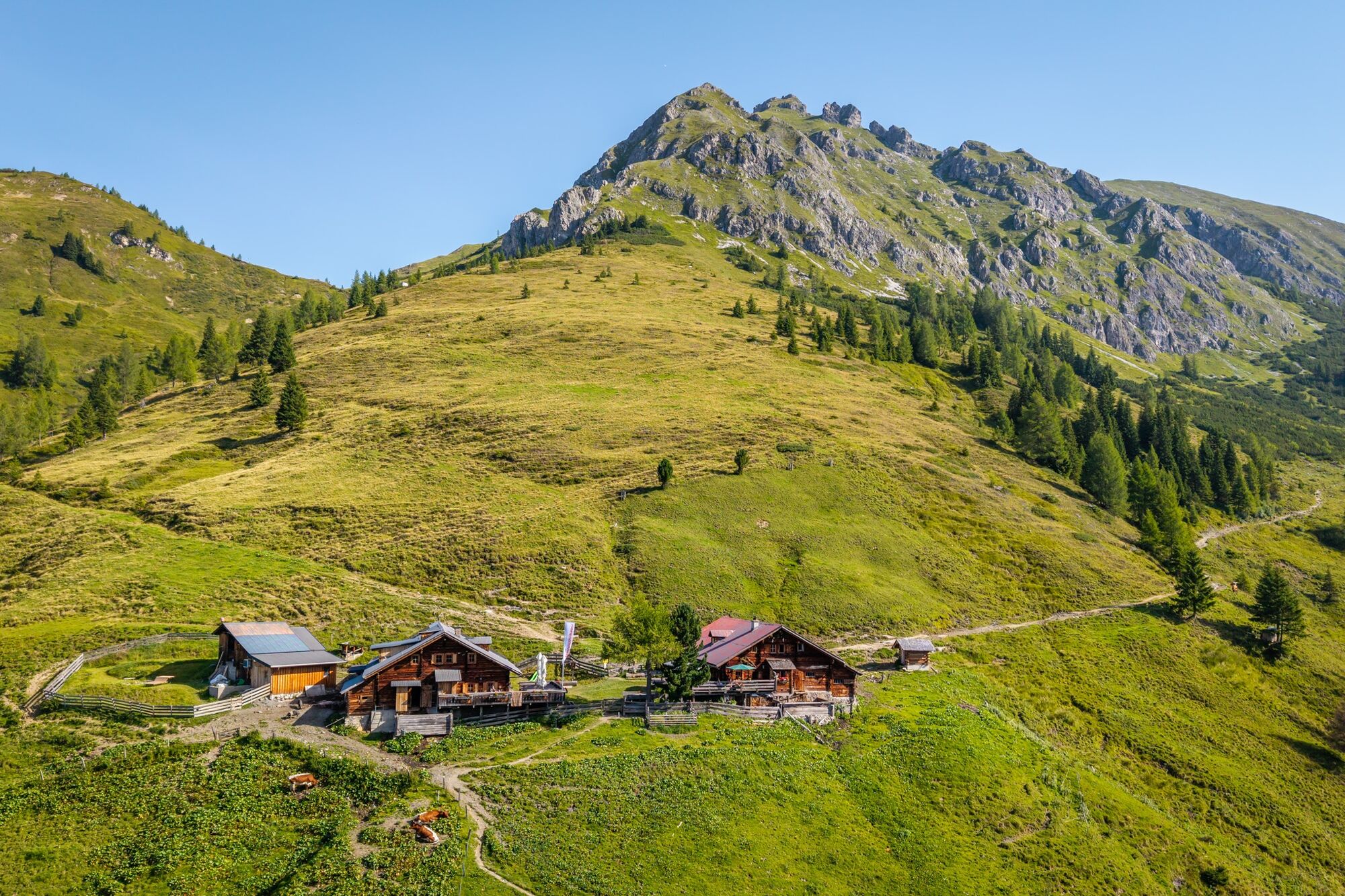
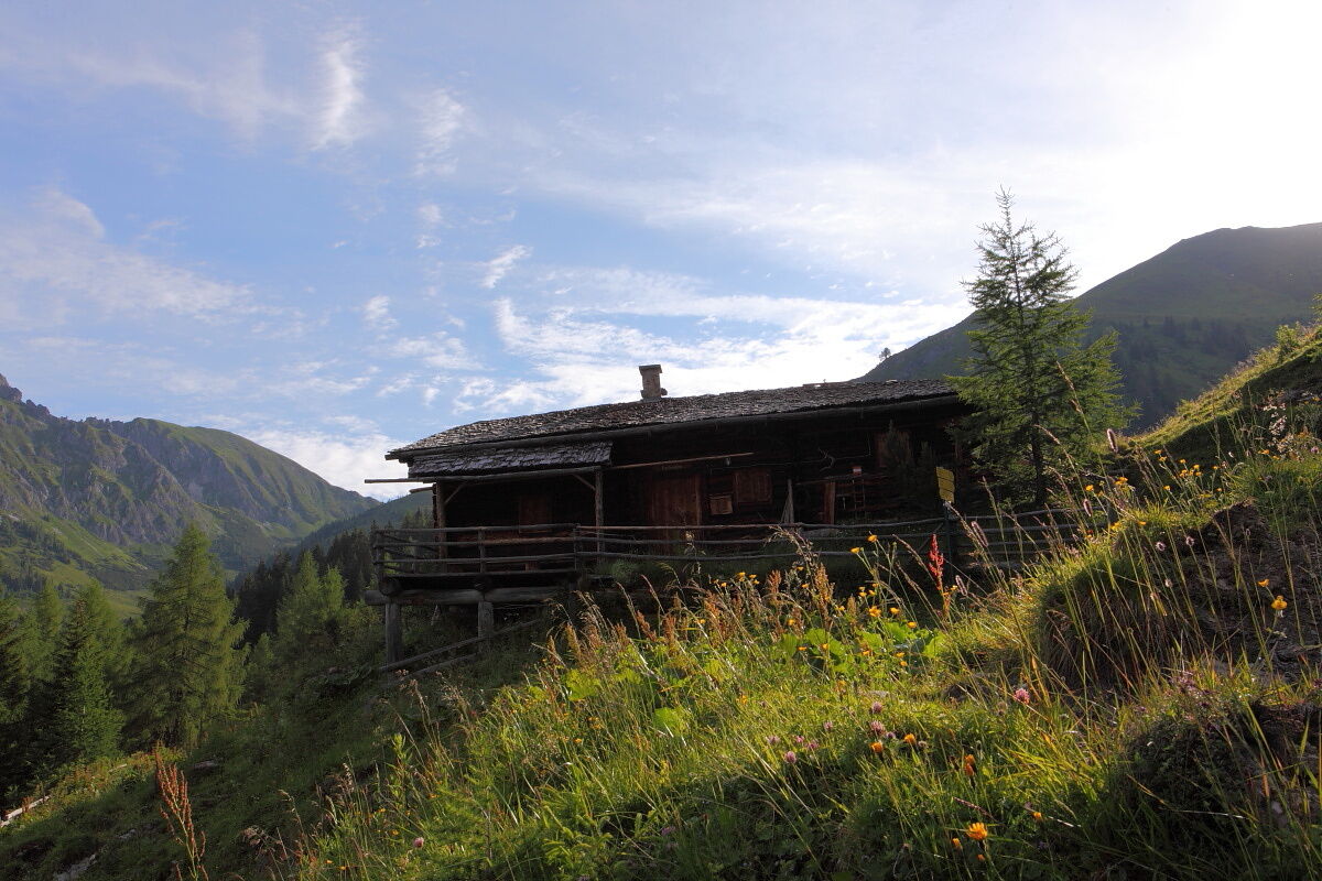
Once you arrive at the Draugstein alpine pastures, you will see the Steinmannhütte on the right and the Schrambachhütte on the left when viewed from above. Both alpine pastures invite you to stop for a bite to eat with regional delicacies from their own production. Well fortified, the trail finally leads back to the starting point of the tour. This hike impressively combines nature experiences and alpine culture in the Großarltal, the valley of alpine pastures.
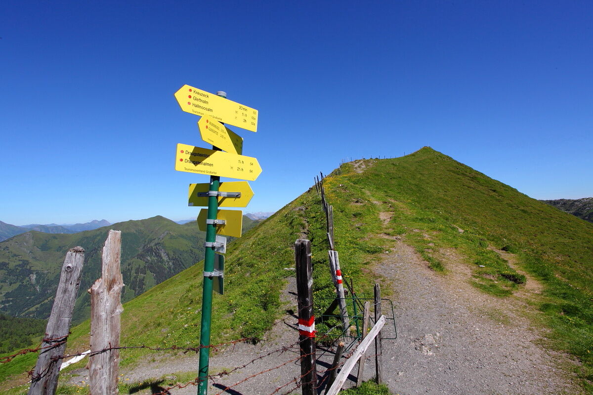
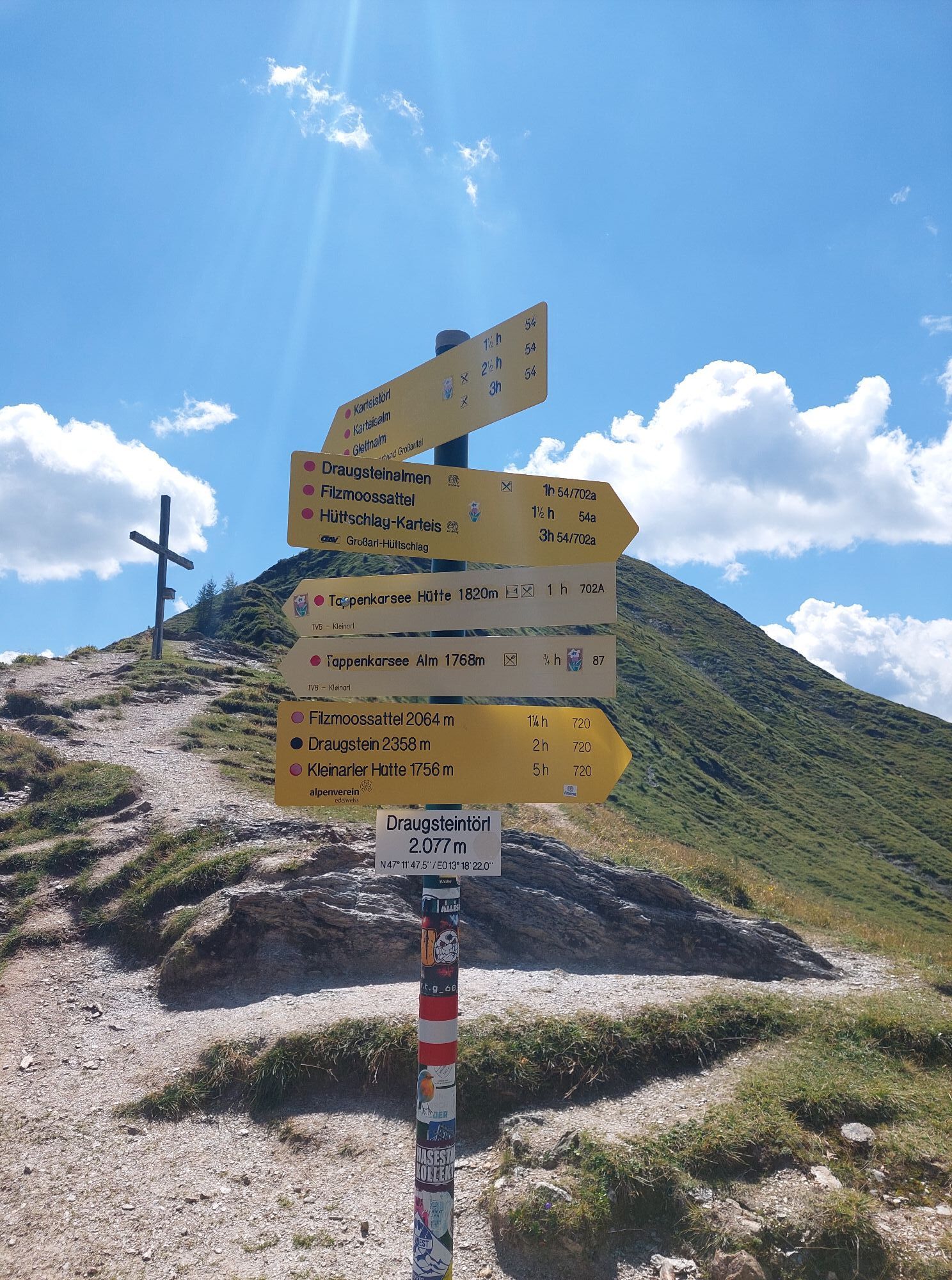
Continue on the same path until hiking trail no. 53A leads to Kreuzeck, 2,204 m (approx. 1¾ h). Then follow hiking trail no. 53 to the Karteistörl, 2,145 m (approx. ¼ h) and continue along the ridge to the Draugsteintörl, 2,077 m (approx. ¾ h).
From Draugsteintörl, descend via hiking trail no. 54 to Draugsteinalmen, 1,778 m (approx. 1 h). The further descent back to the starting point is also via hiking trail no. 54 and takes about 1 ¼ h.
Ano
Ano
Hiking boots with profiled sole, hiking map, backpack with provisions, drinking bottle, and first aid kit
Go by car or hiking taxi to the Hallmoosalm in Hüttschlag. Alternatively, take the Postbus 540 to the Hüttschlag Karteis stop and from here climb up to the Hallmoosalm (approx. 1 1/2 hours).
Hallmoosalm parking lot - there are parking spaces directly at the Hallmoosalm and further up there are more available.
T2
With a bit of luck, marmots can be observed in the area around lake Tappen and the Draugsteintörl.

Oblíbené prohlídky v okolí
- 4,9
Großarl: Aualm - Liechtensteinkopf - Aukopf - Schuhflicker - Schuhflickersee
středníTuristika 5,84 km - 5,0
Großarl: Alpine pasture circuit in Ellmautal
středníTuristika 9,69 km - 4,1
Tappenkarsee Kleinarl
středníTuristika 9,11 km - 4,7
Großarl: Mooslehenalm – Niggeltalalm – Viehhausalm
středníTuristika 5,44 km - 4,9
Höhenweg vom Grünen Baum bis Bad Hofgastein
světloTuristika 7,92 km - 4,6
Mountain route from the Kötschachtal to the natural jewel Reedsee
středníTuristika 12,5 km - 4,3
"Elendrunde" Kleinelend Valley - Zwischenelendscharte - Großelend Valley
středníTuristika 21,9 km - 4,8
Hüttenkogel - Graukogel von der Bergstation
středníHorská turistika 4,68 km - 4,7
Kölnbreinspeicher bis Osnabrücker Hütte
světloTuristika 15,9 km - 4,5
Großarl: Saukaralm - Saukarkopf - Gerstreitalm
středníTuristika 9,39 km

Pěší turistika a stopování


Nenechte si ujít nabídky a inspiraci pro vaši příští dovolenou
Vaše e-mailová adresa byl přidán do poštovního seznamu.