






Flachauwinkl - Oberpleißlingalm - Spirzinger (711, 27, 26)
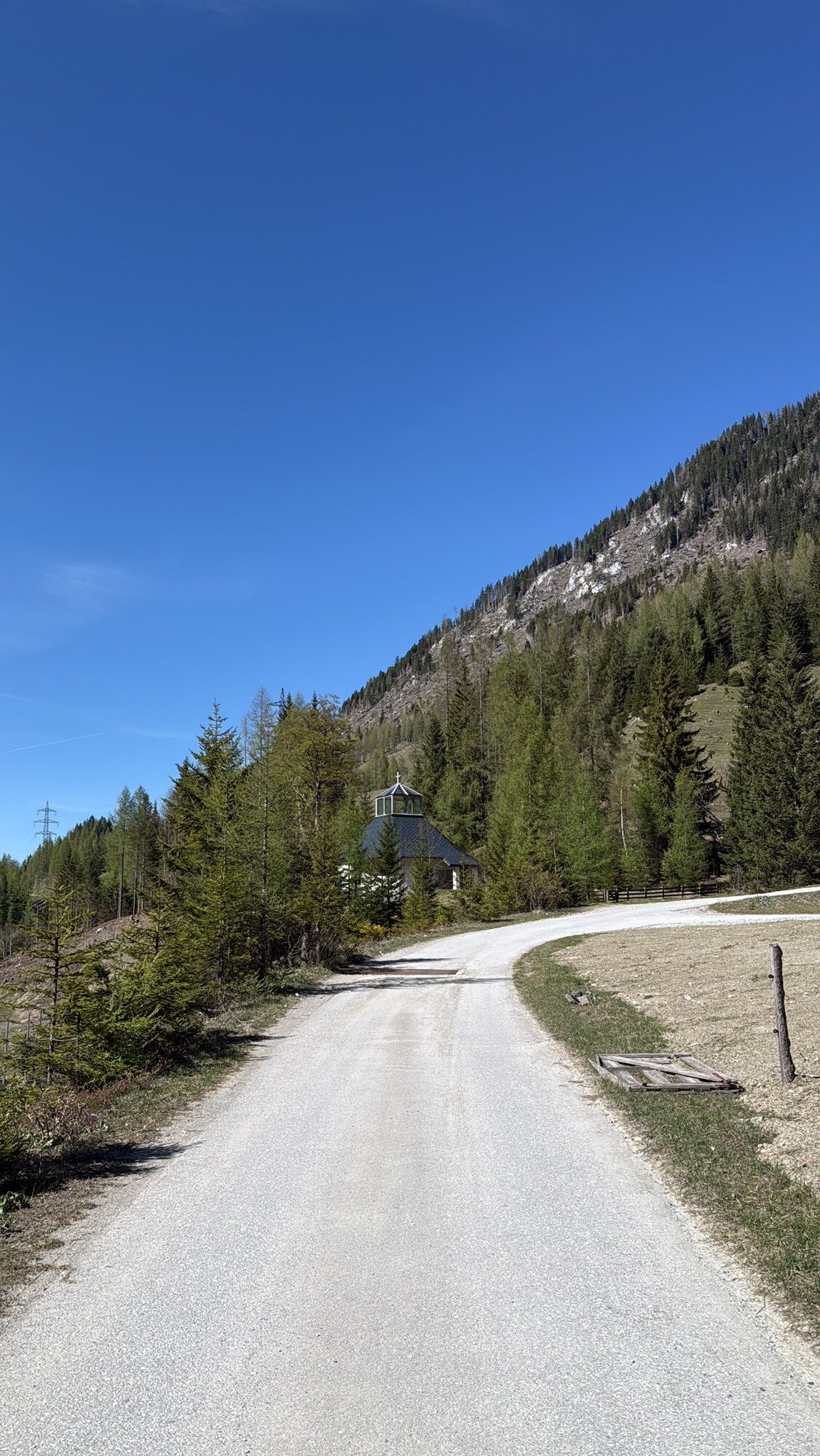
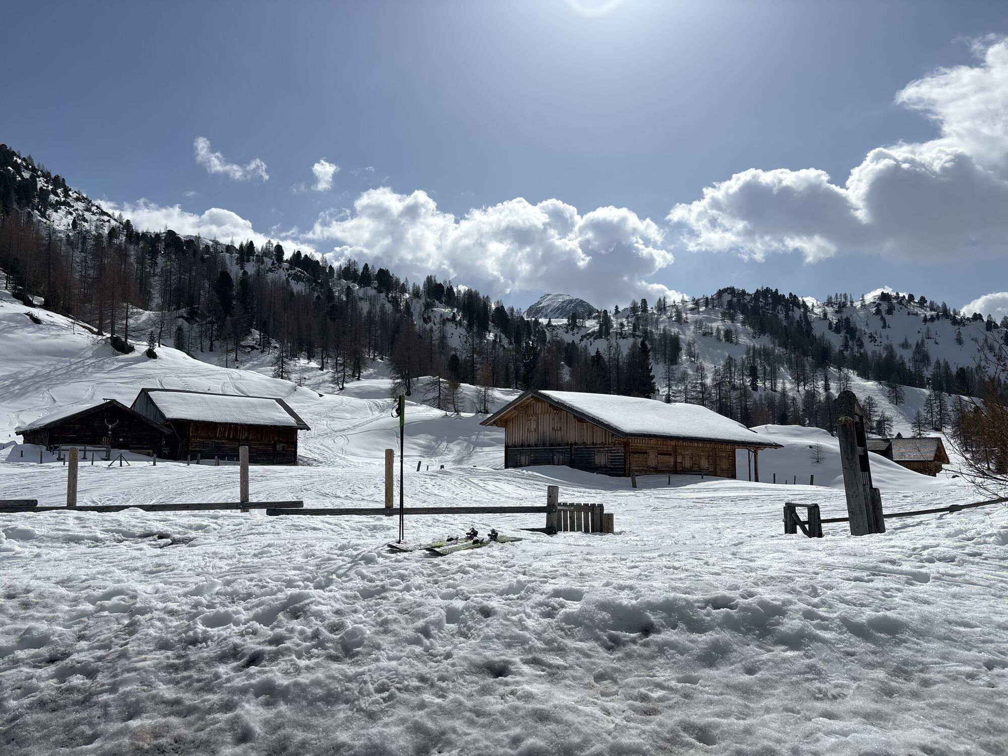
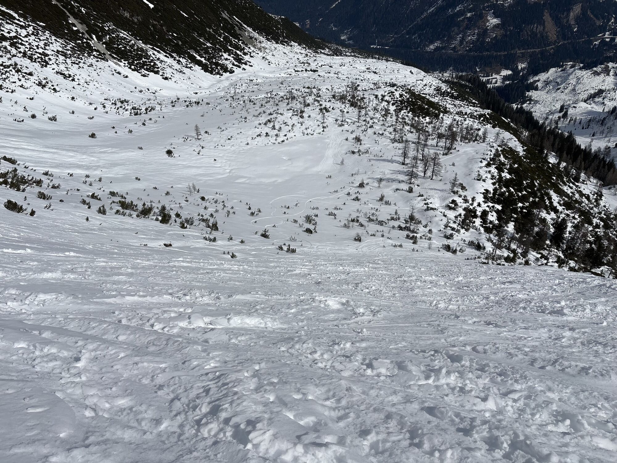
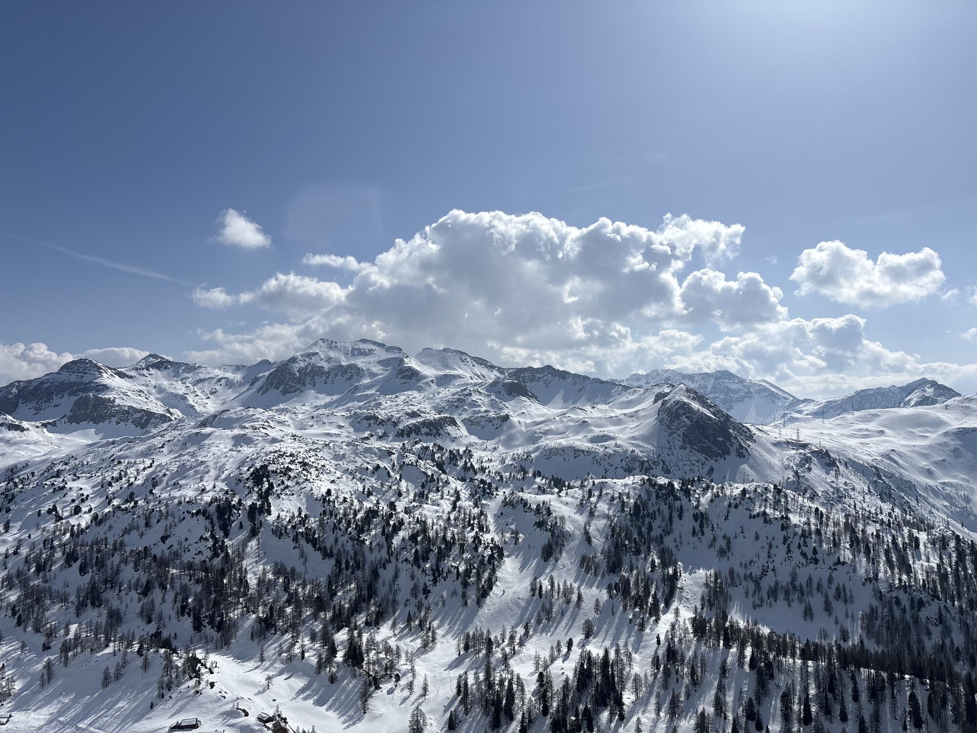
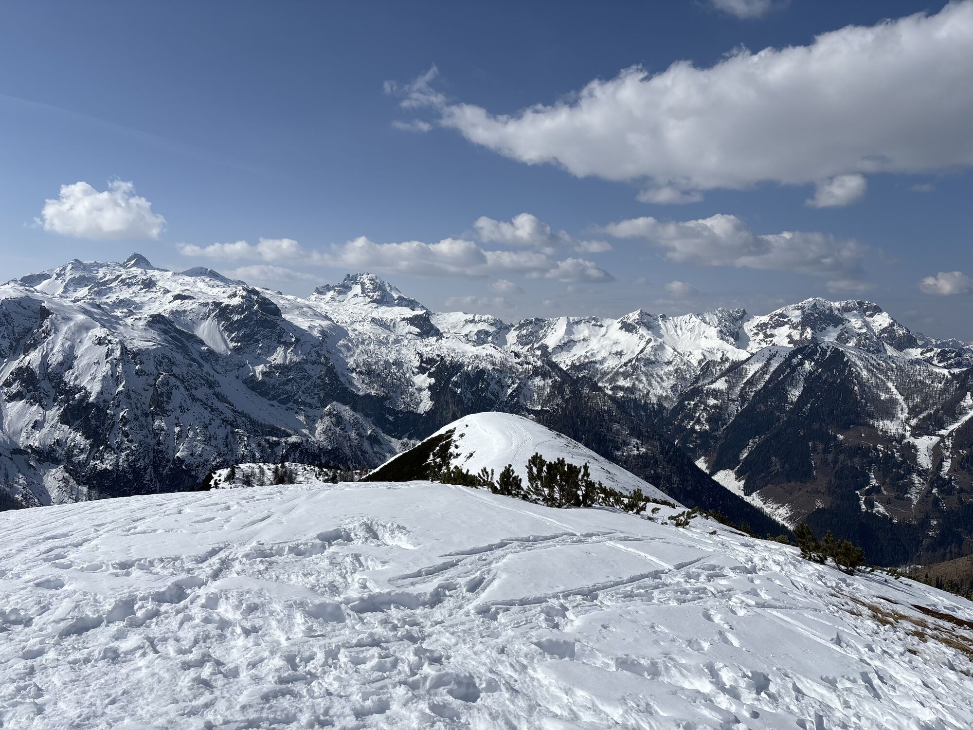
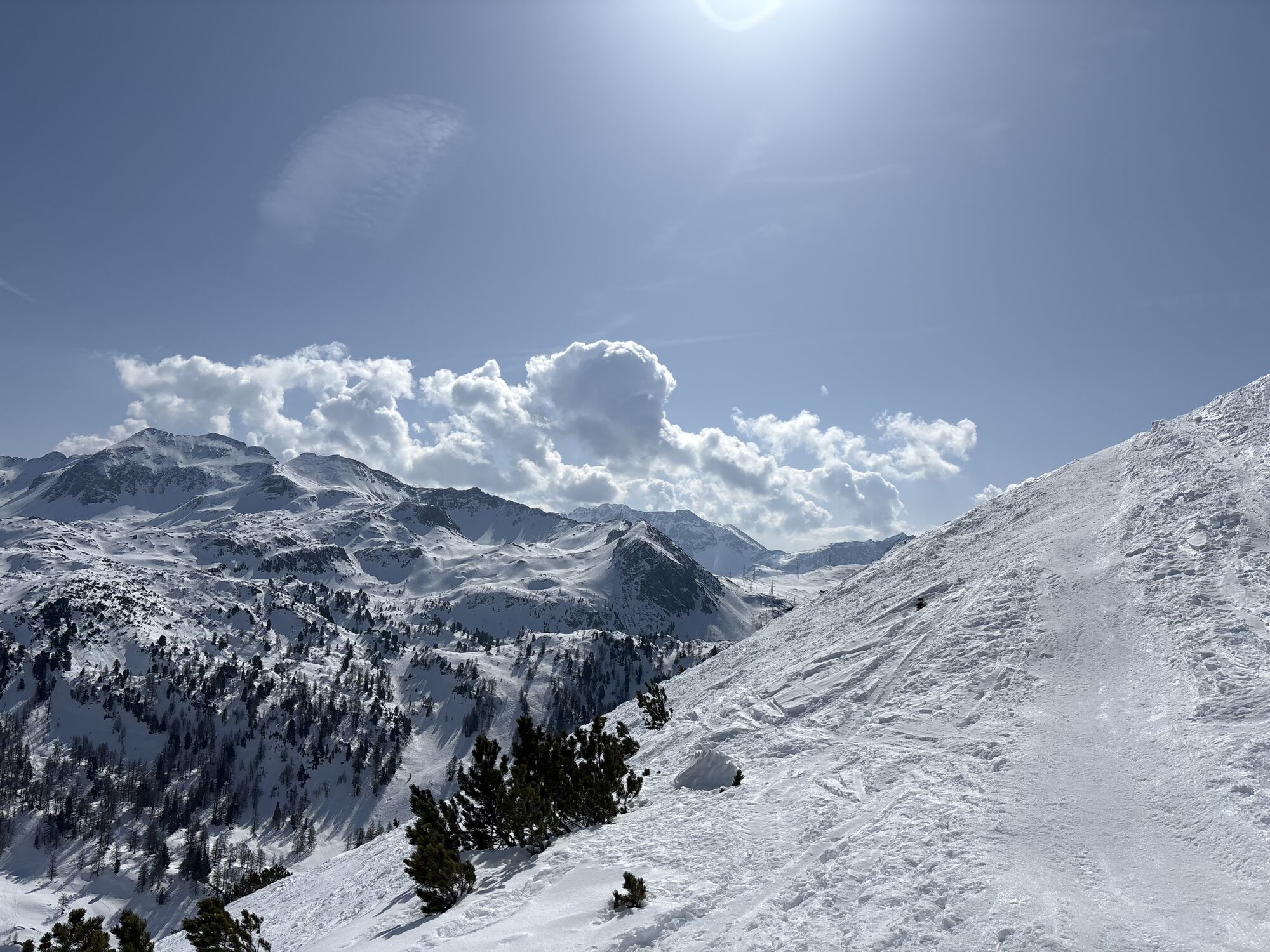
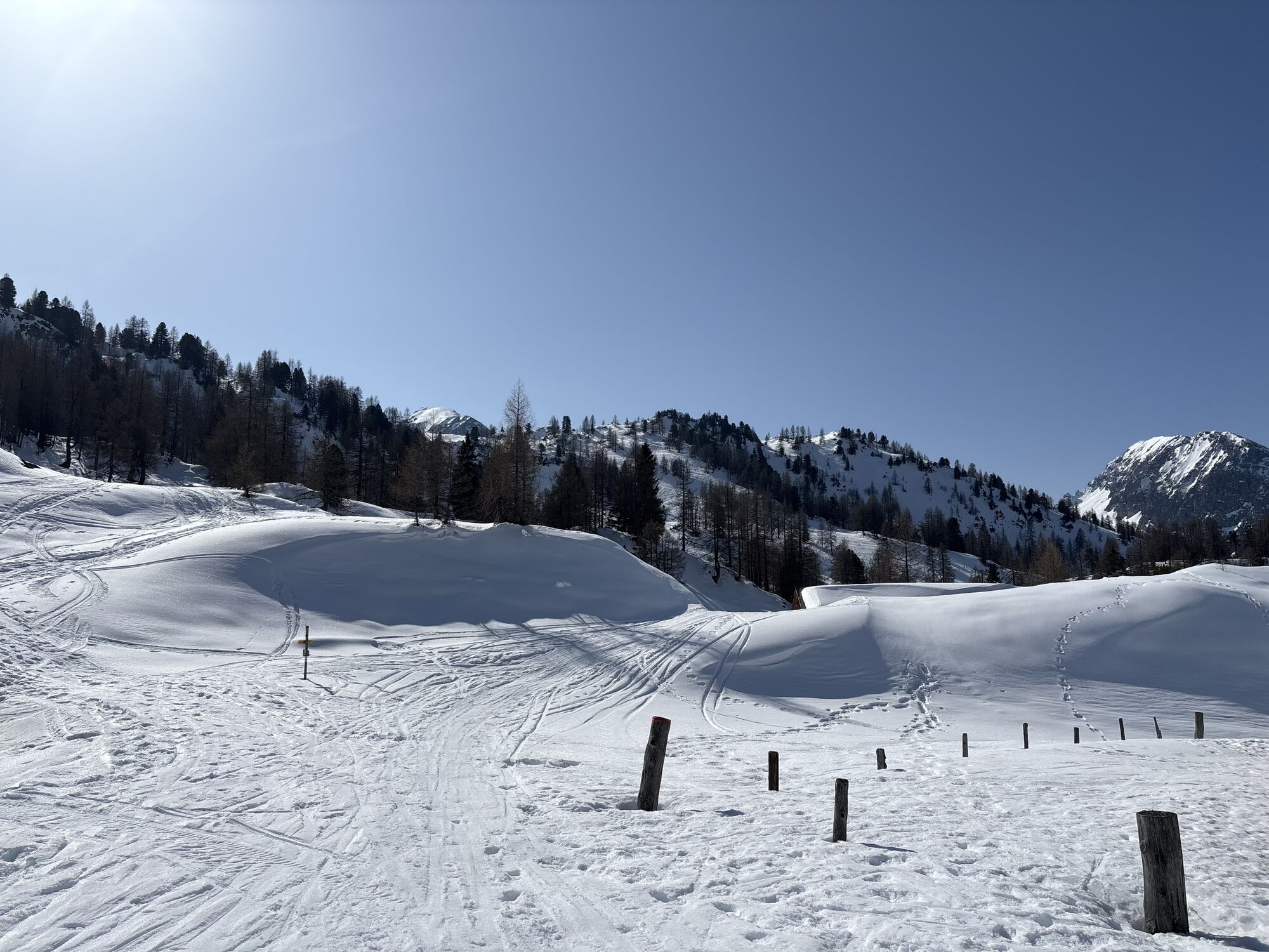
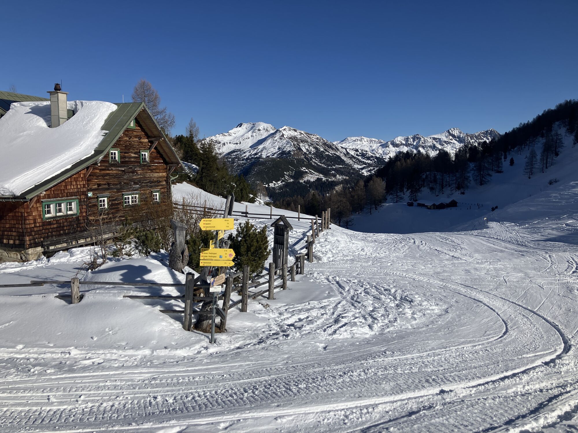
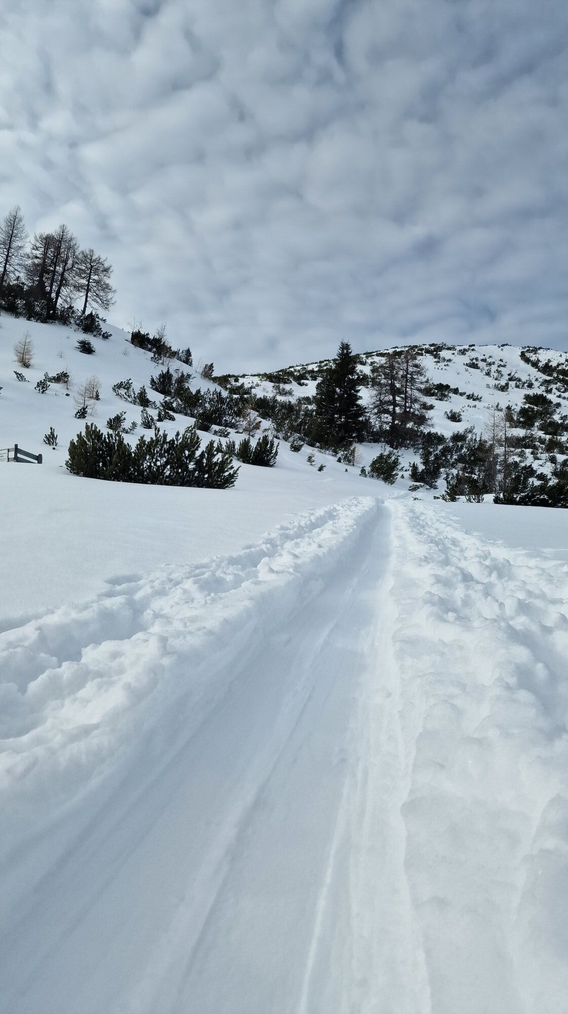
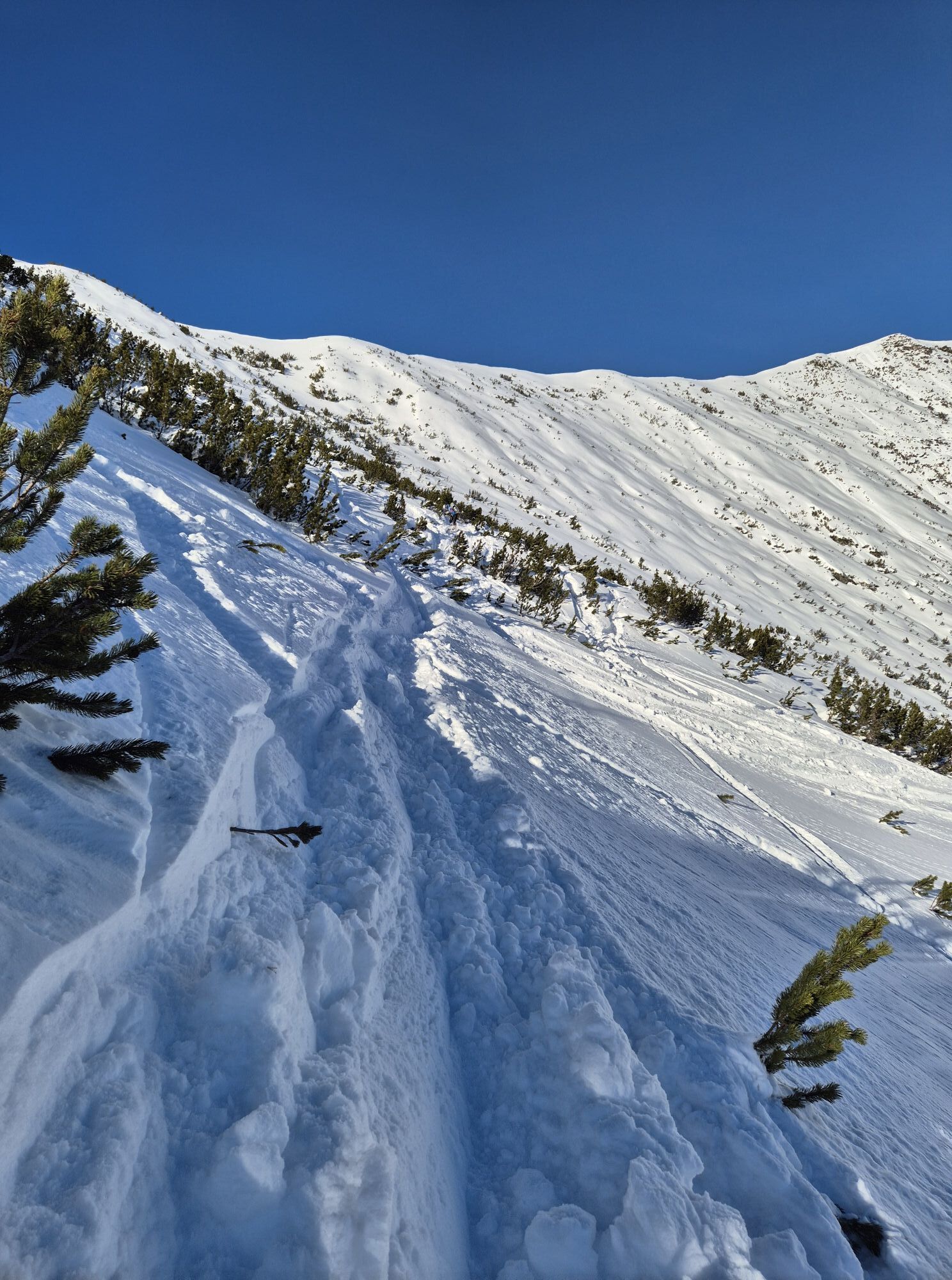
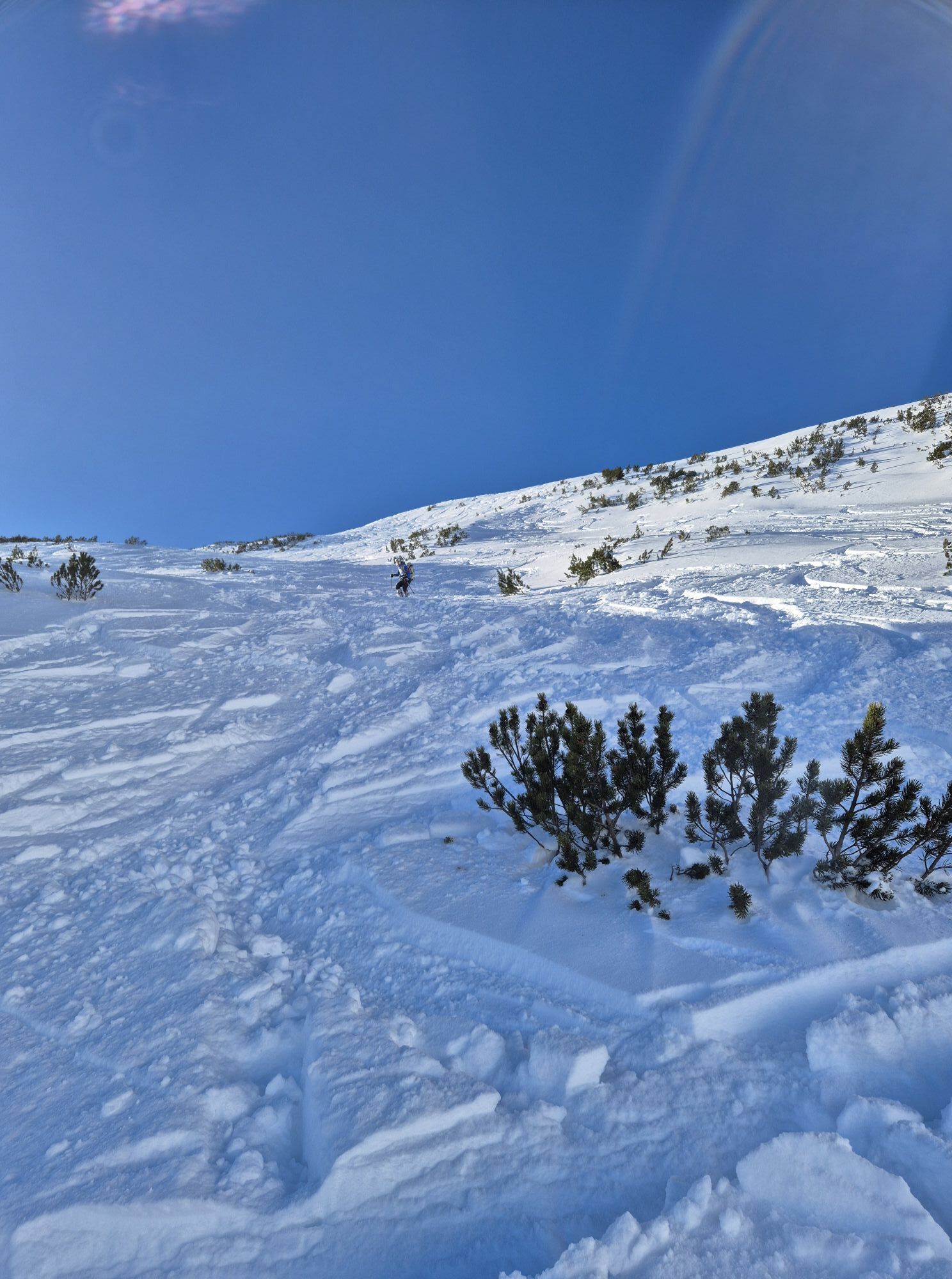
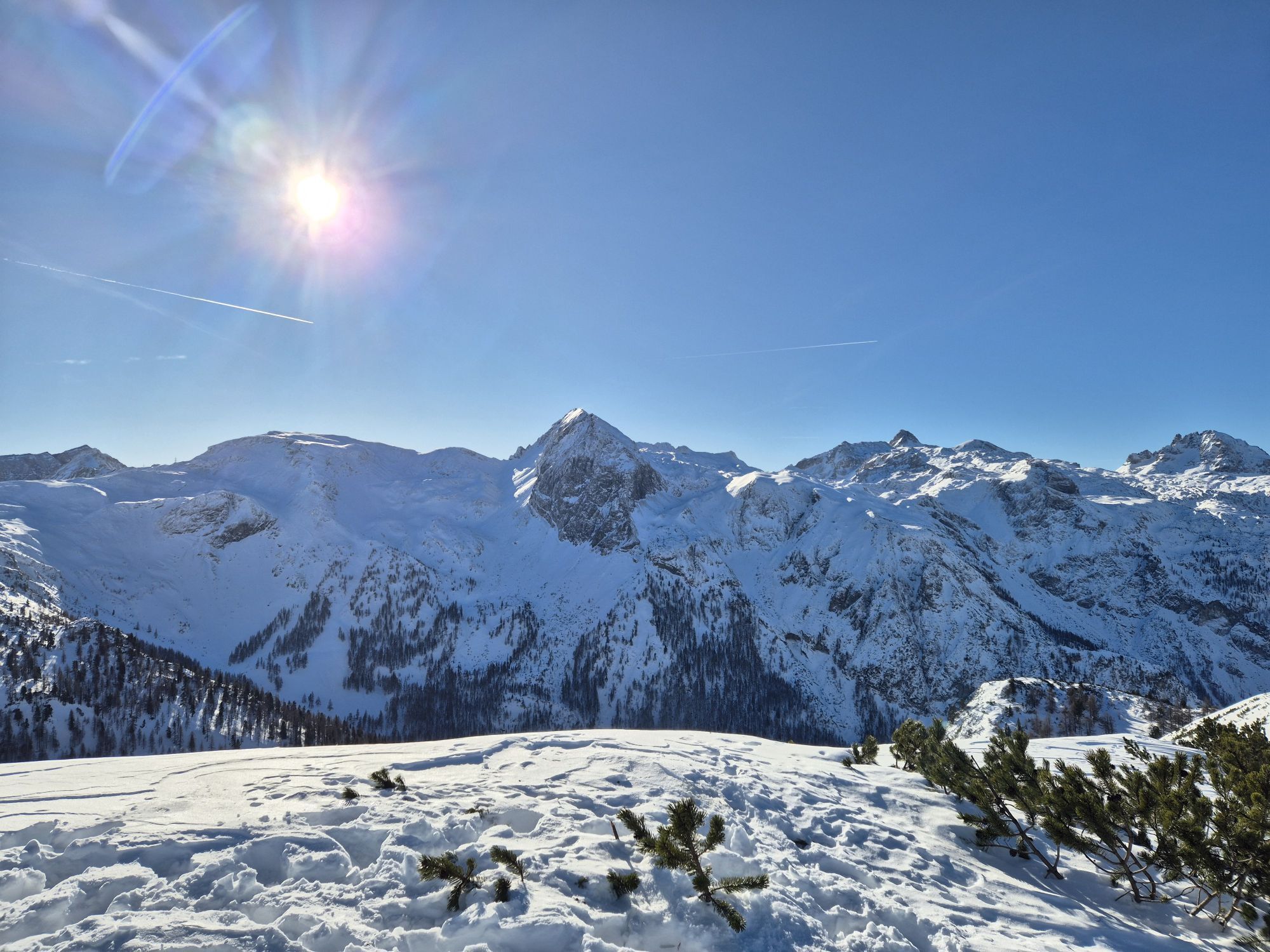
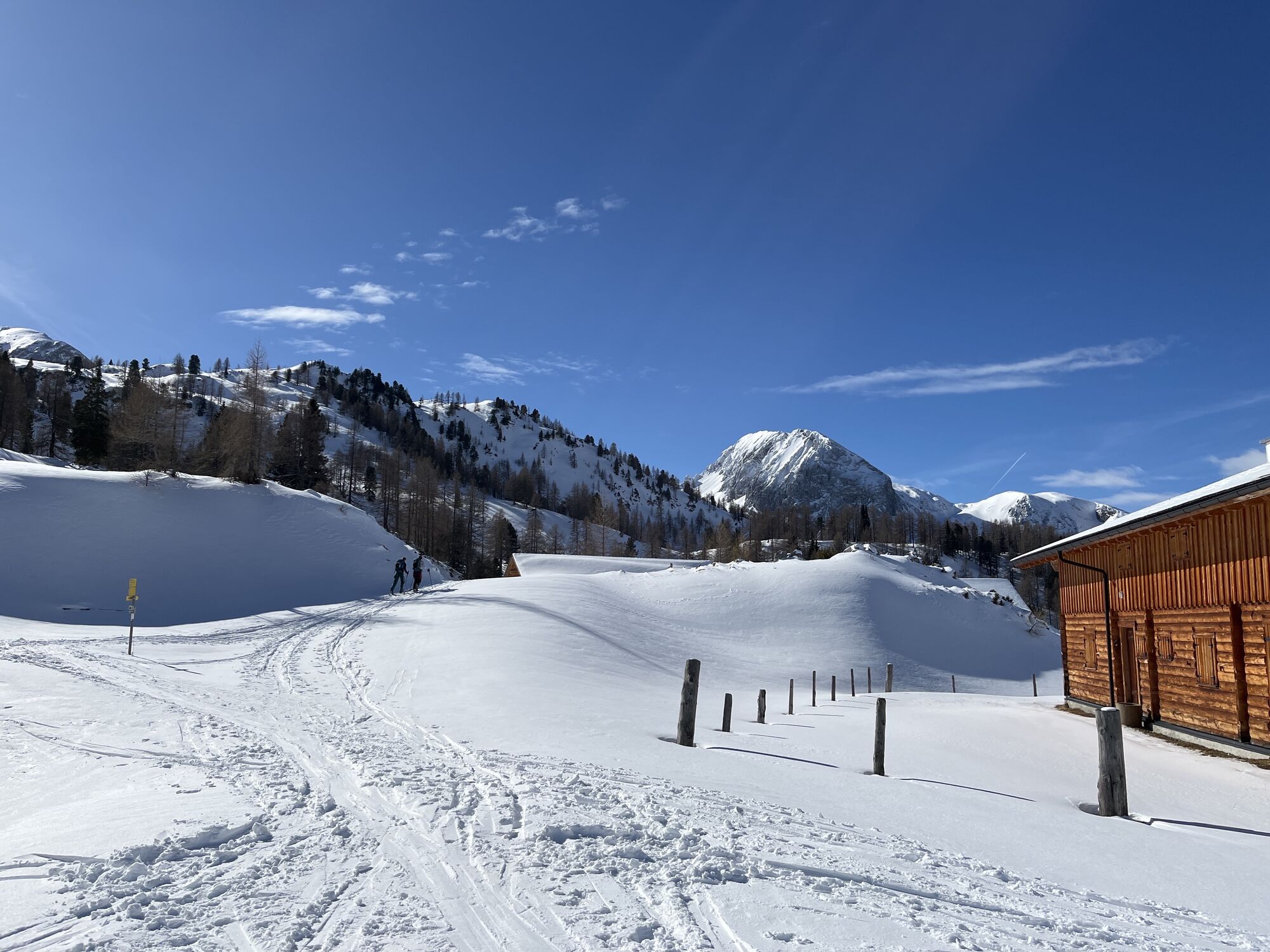
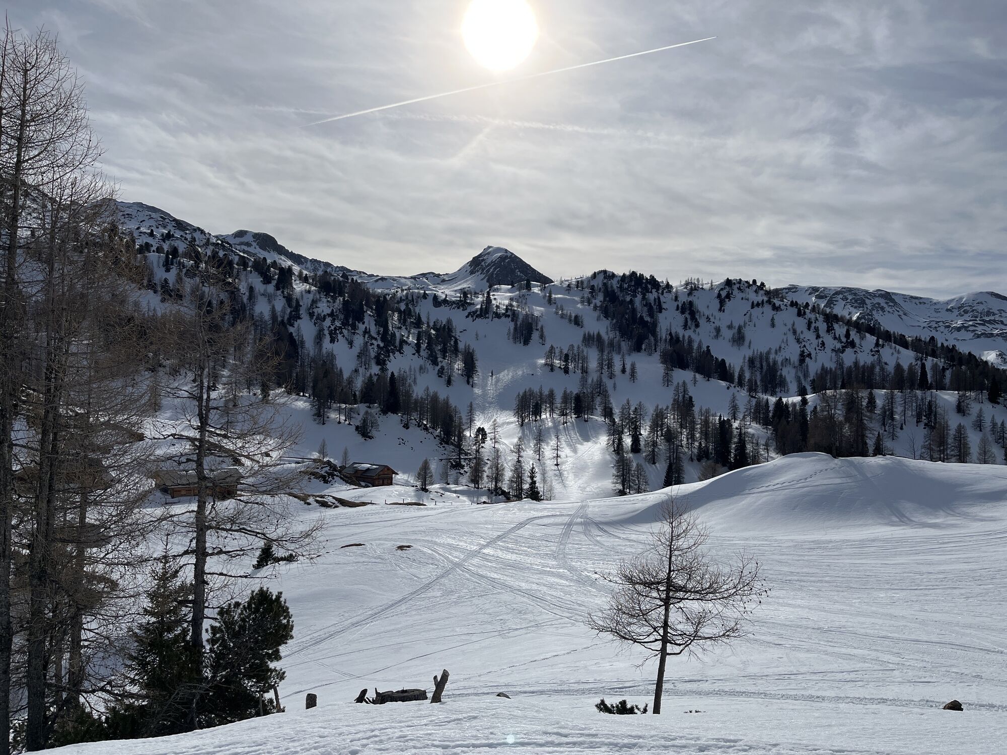
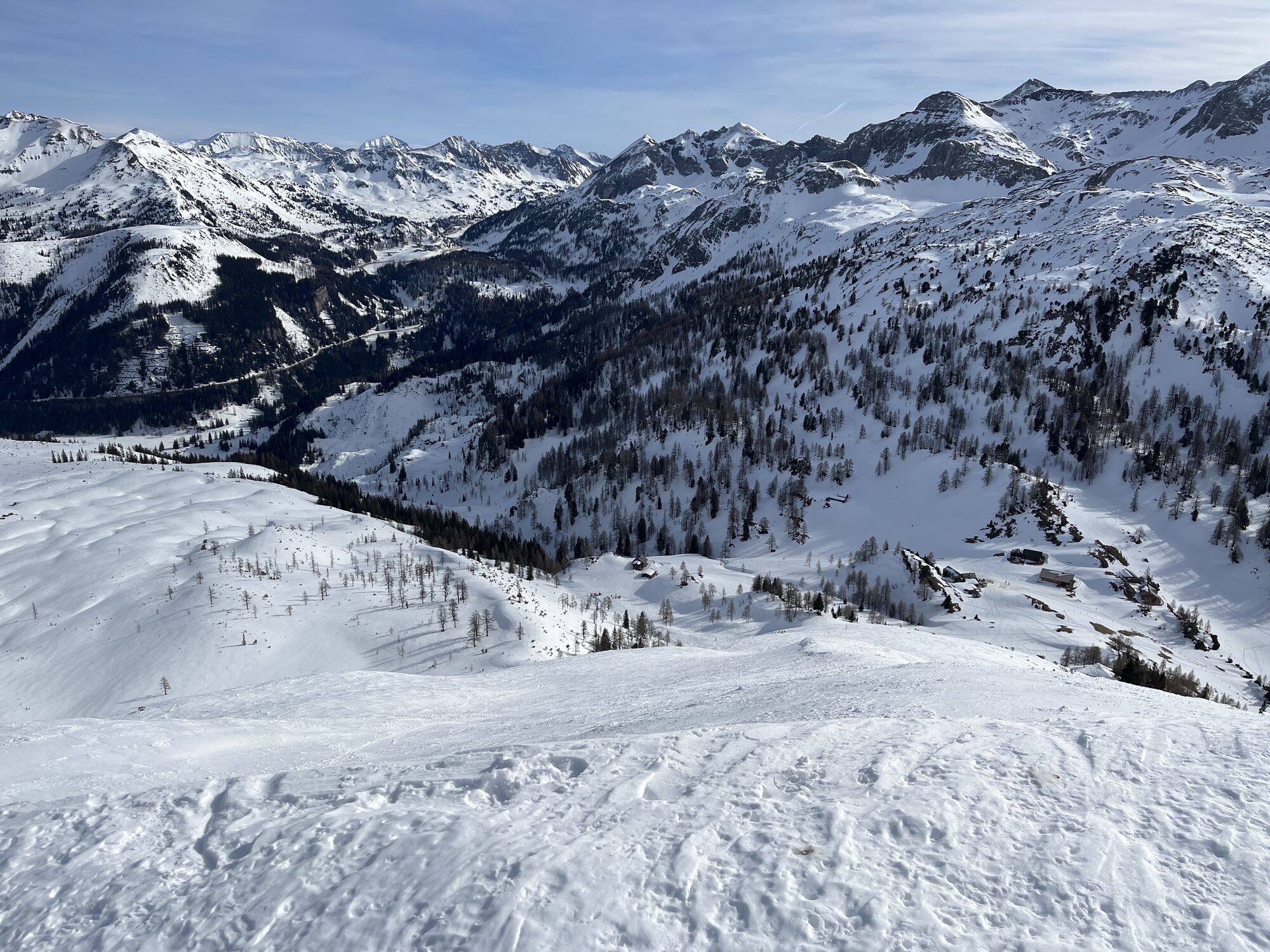
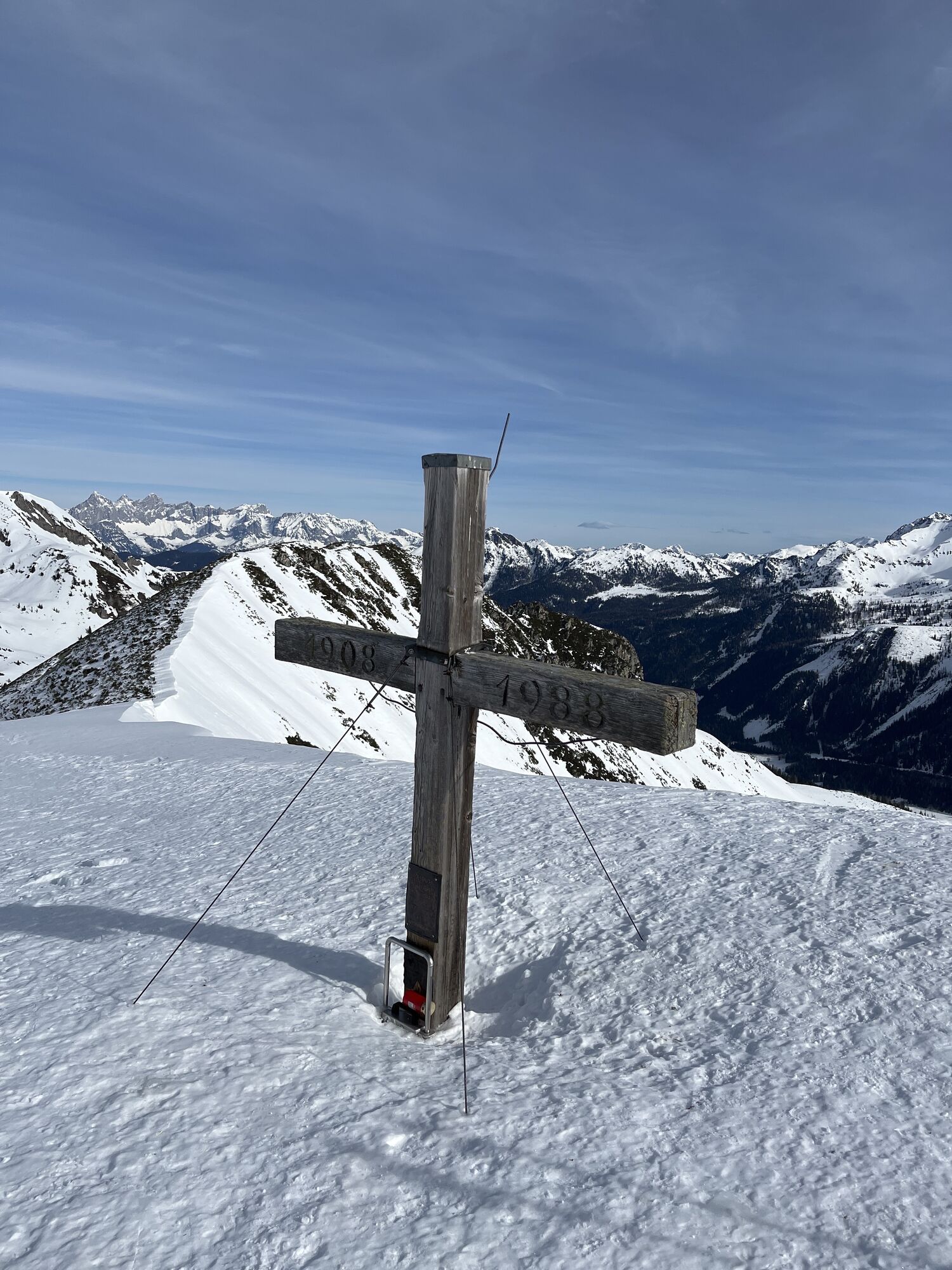
The forest hiking trail leads to Oberpleißlingalm, which lies in the midst of the mountain world of the Radstadt Tauern. The stunning view at Spirzinger (2066 m) rounds off the hike. If you wish, you can...
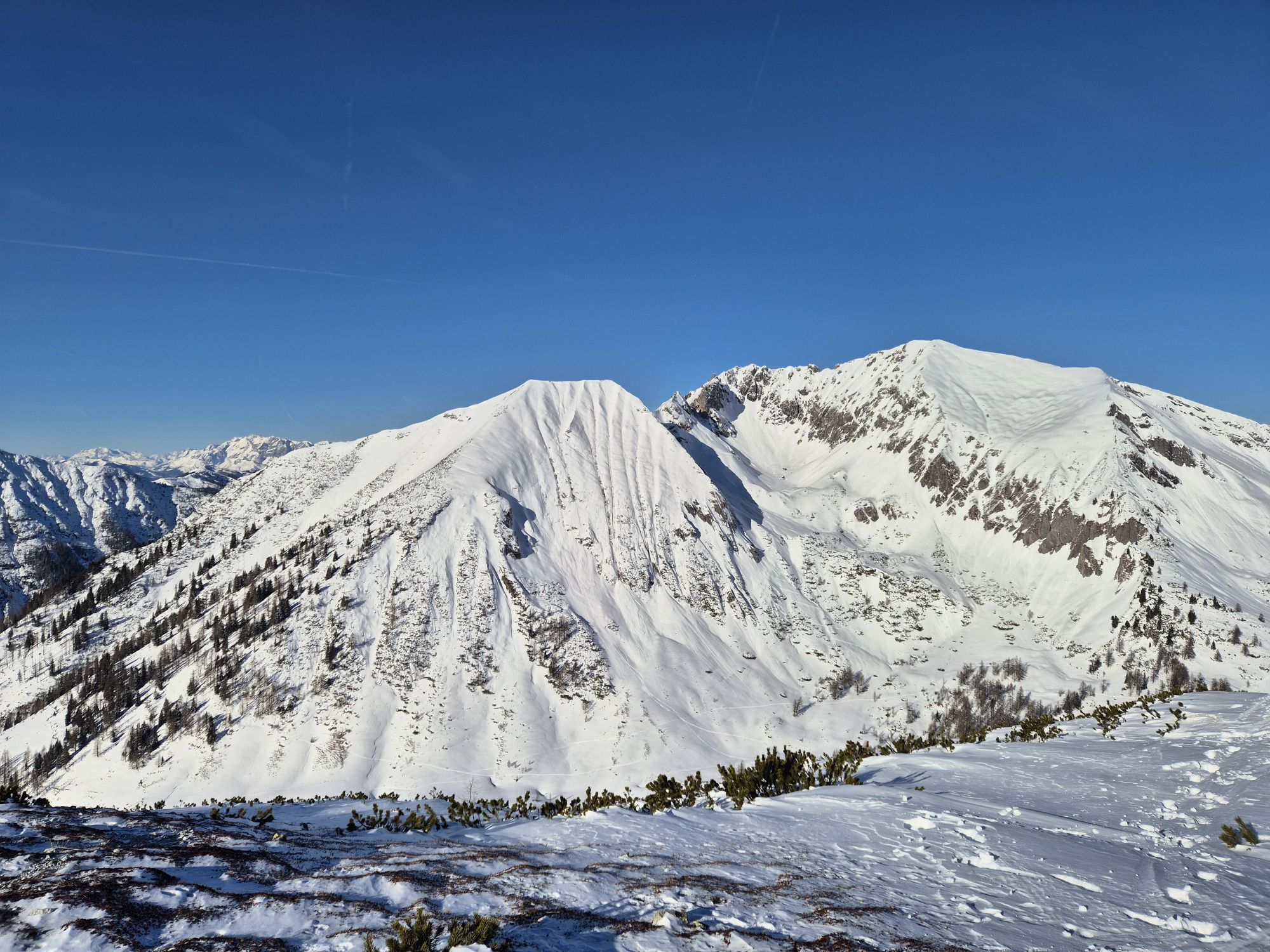
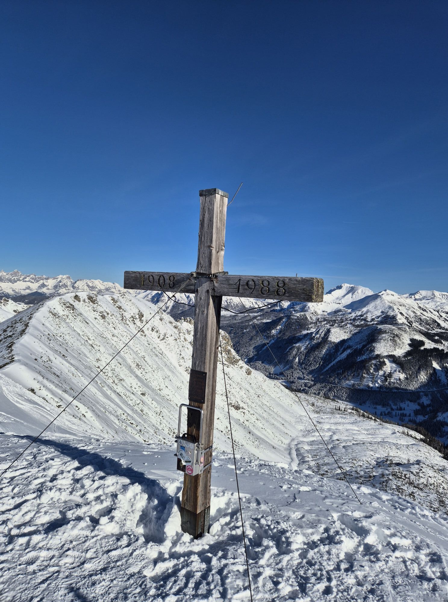
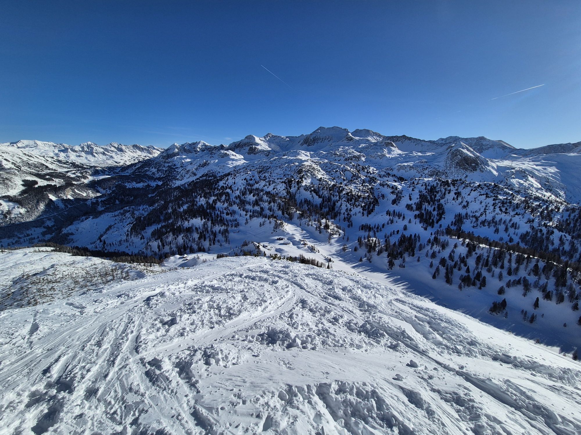
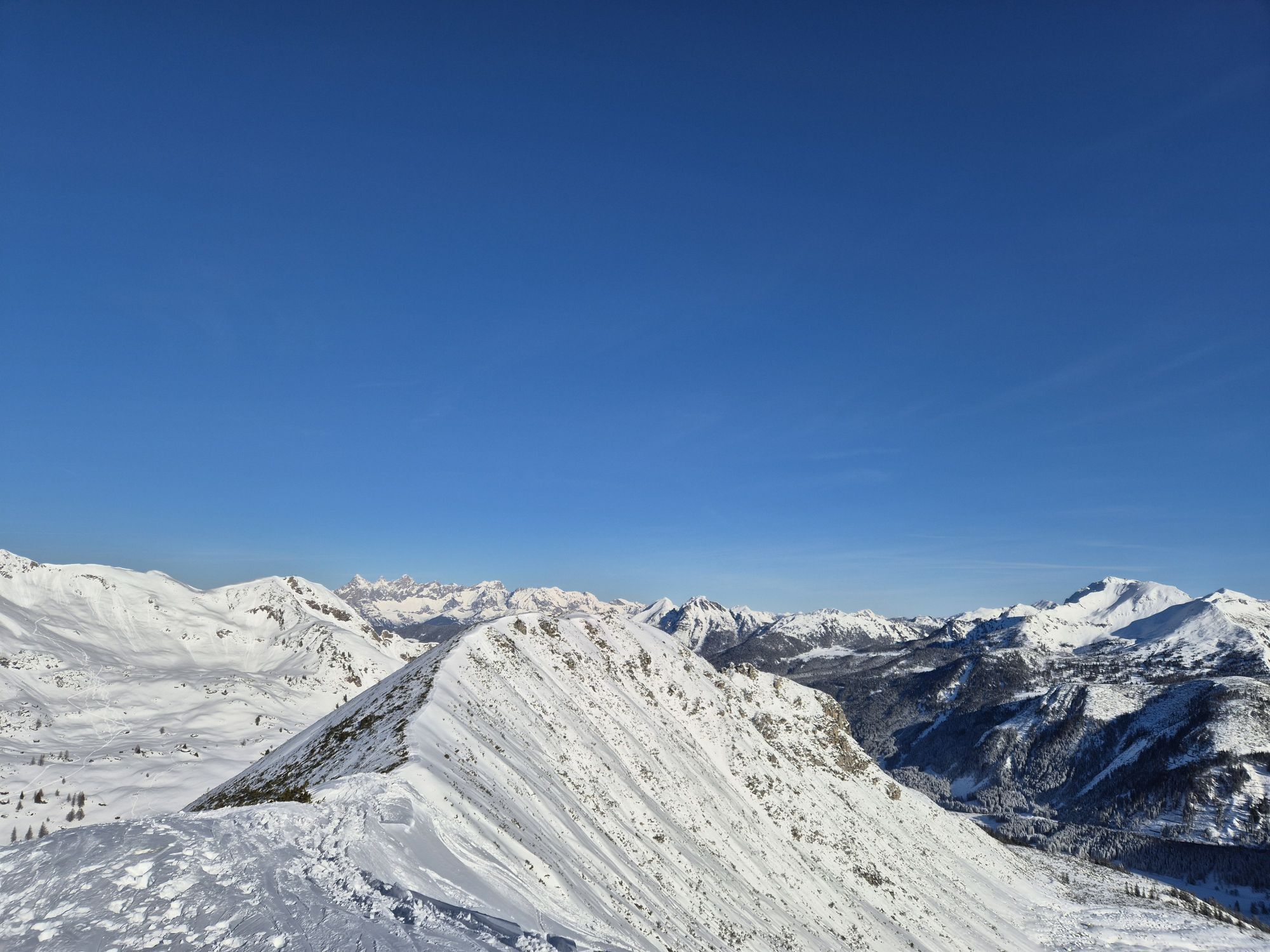
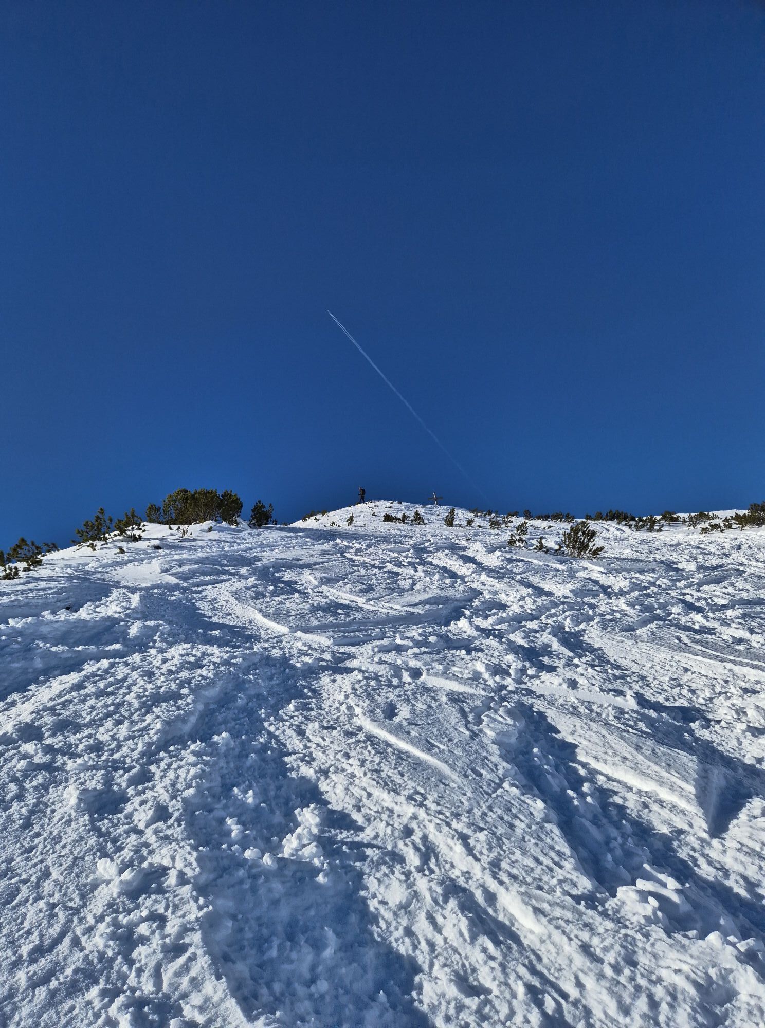
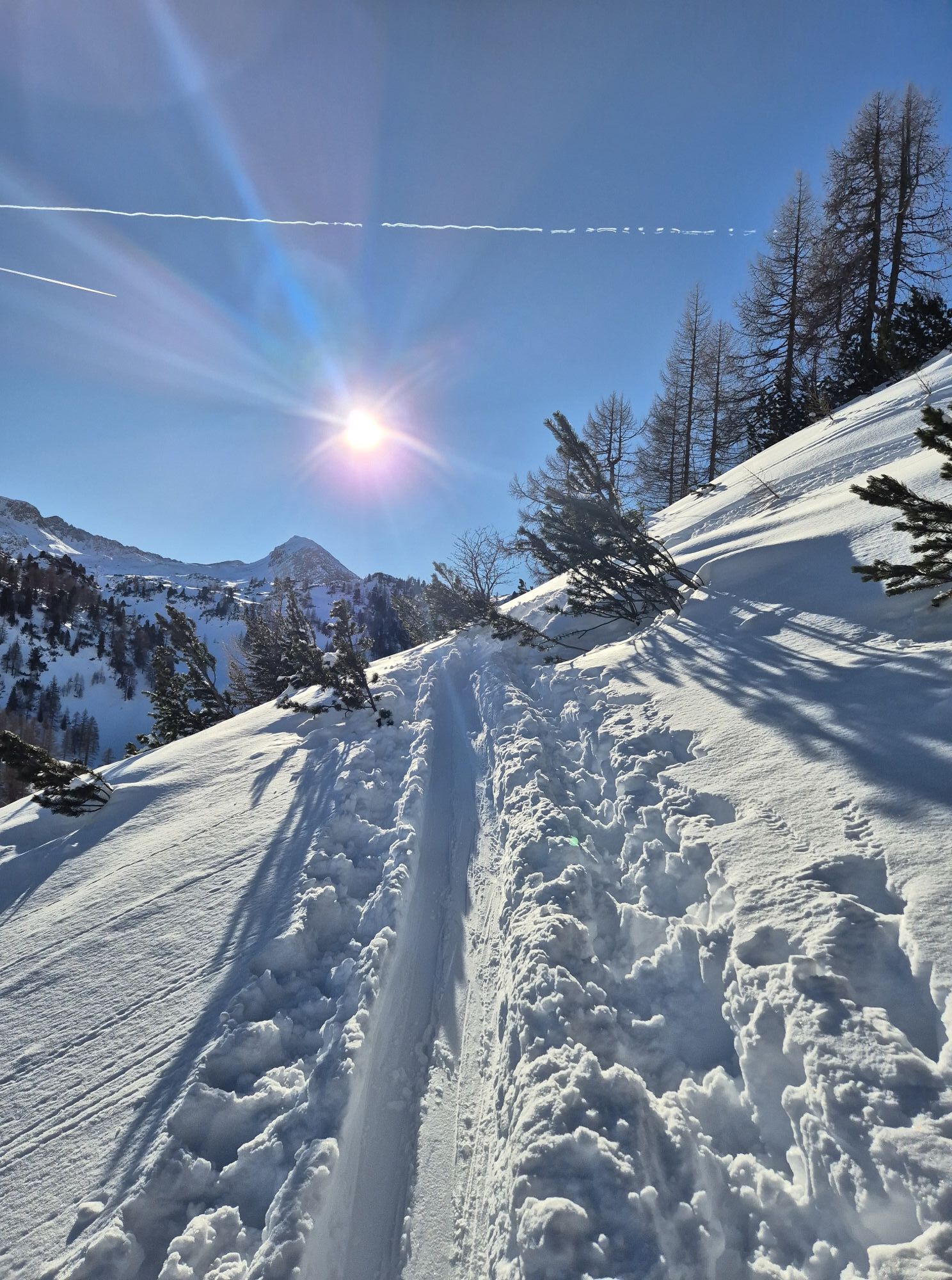
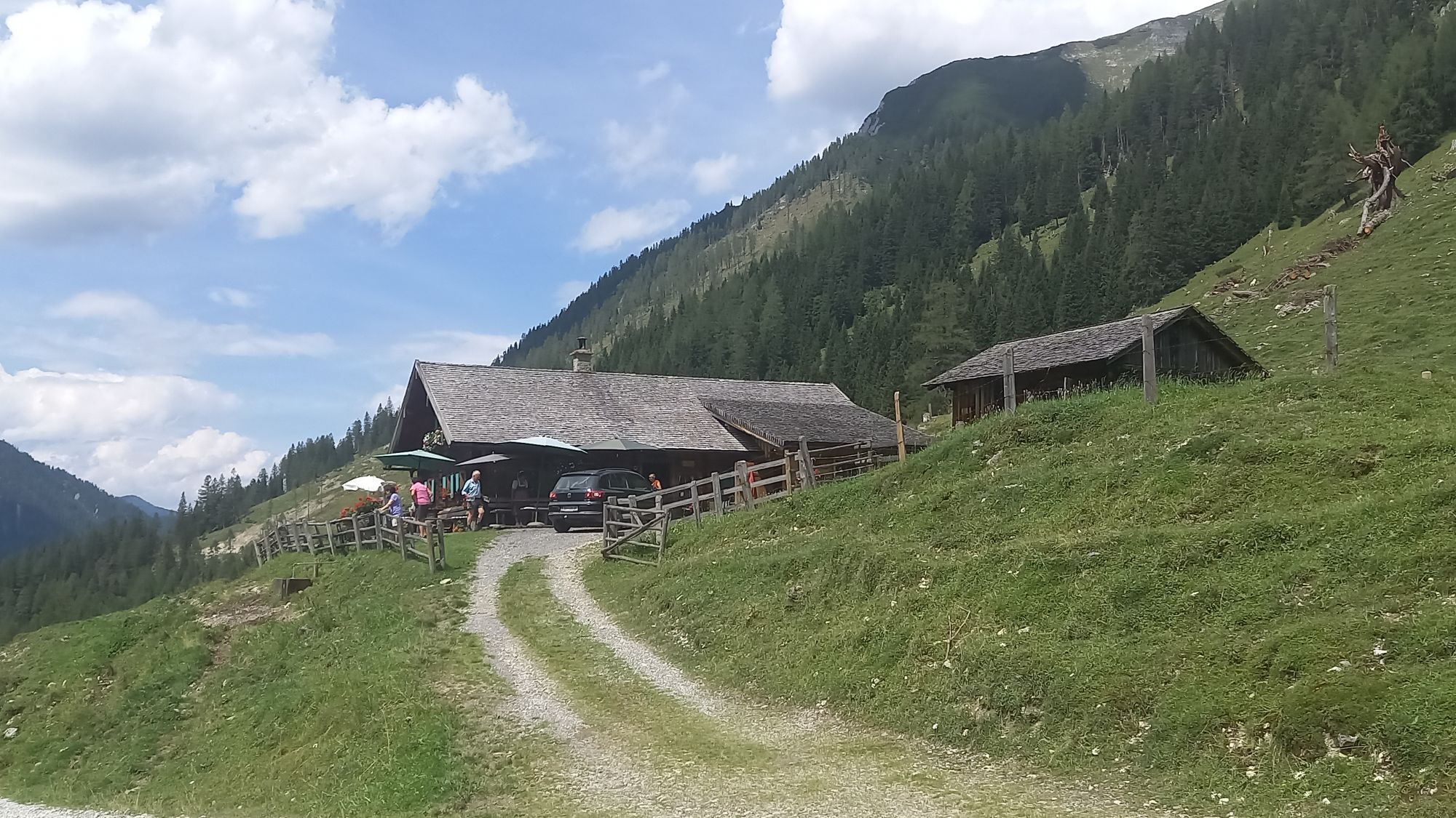
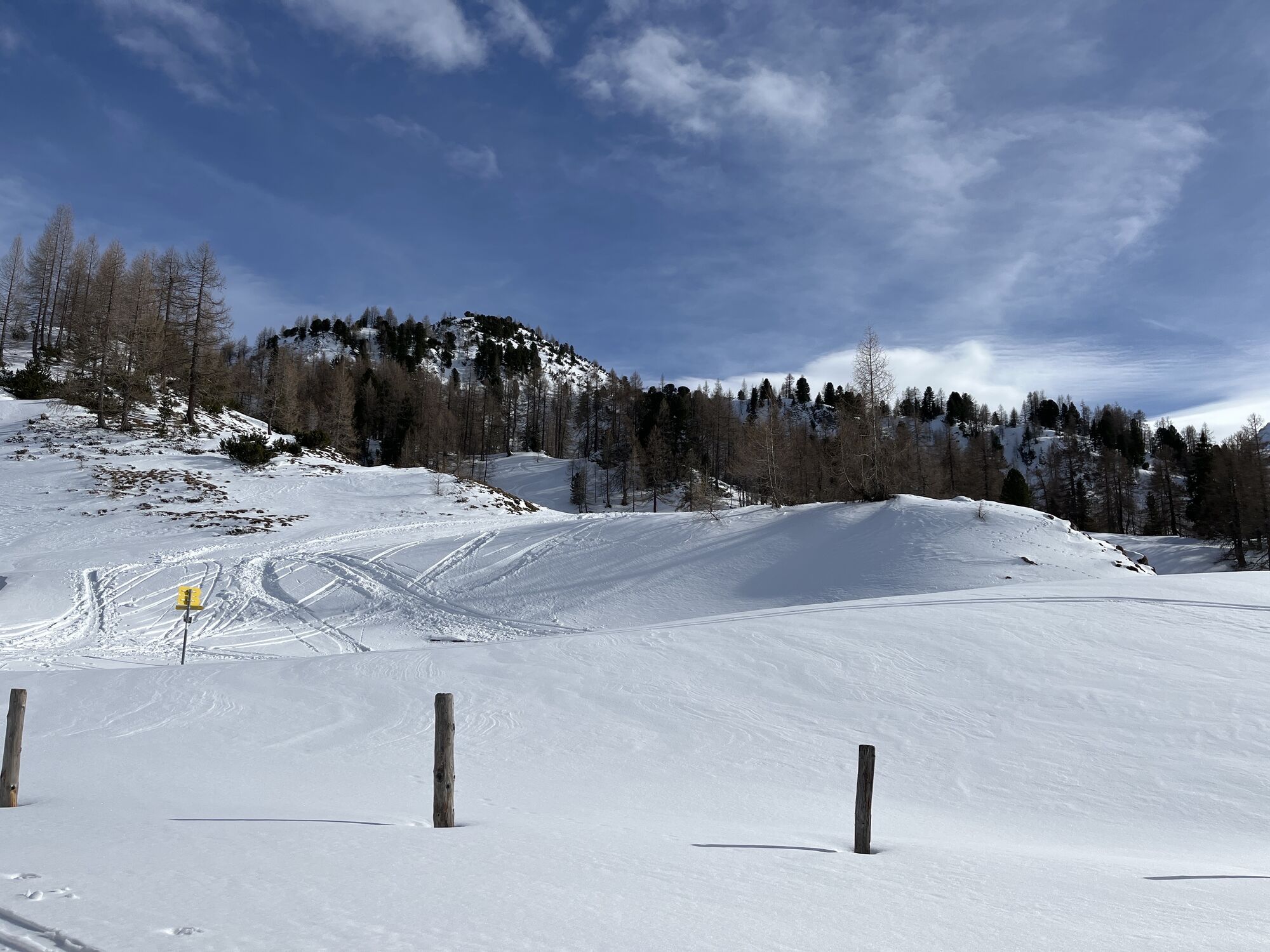
The forest hiking trail leads to Oberpleißlingalm, which lies in the midst of the mountain world of the Radstadt Tauern. The stunning view at Spirzinger (2066 m) rounds off the hike. If you wish, you can extend the route over the ridge to Spatzeck (2065 m).
Places to eat: Unterbichlhütte, Ennslehenhütte/Oberpleißlingalm (mid-June to mid-September from Friday to Tuesday), Scharfetthütte

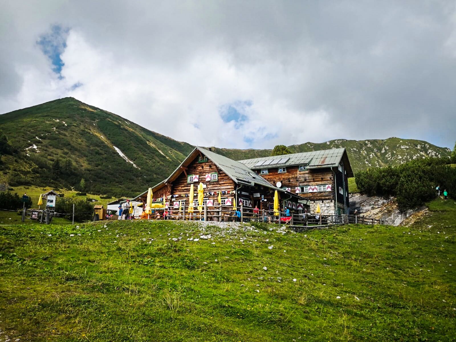
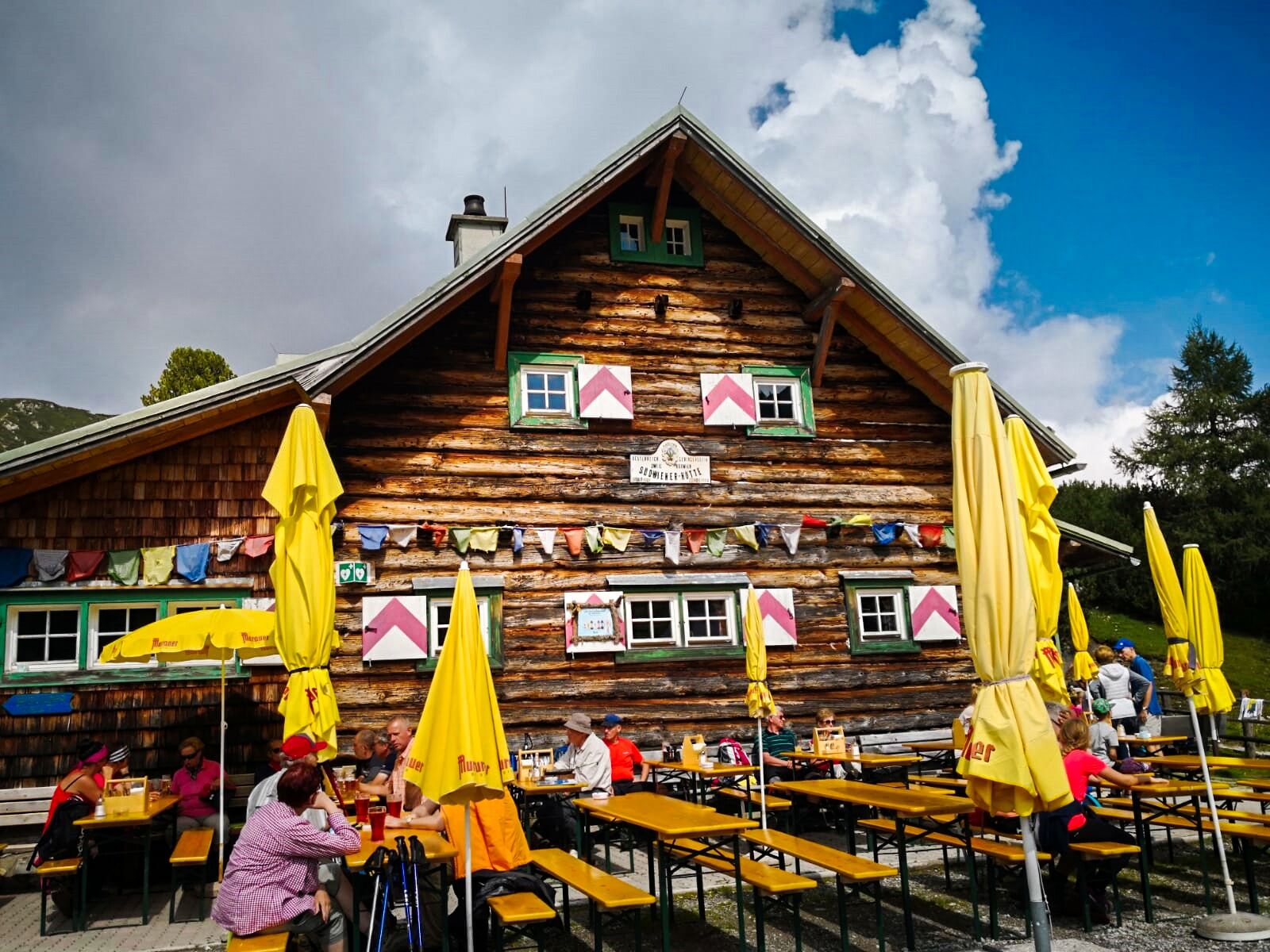
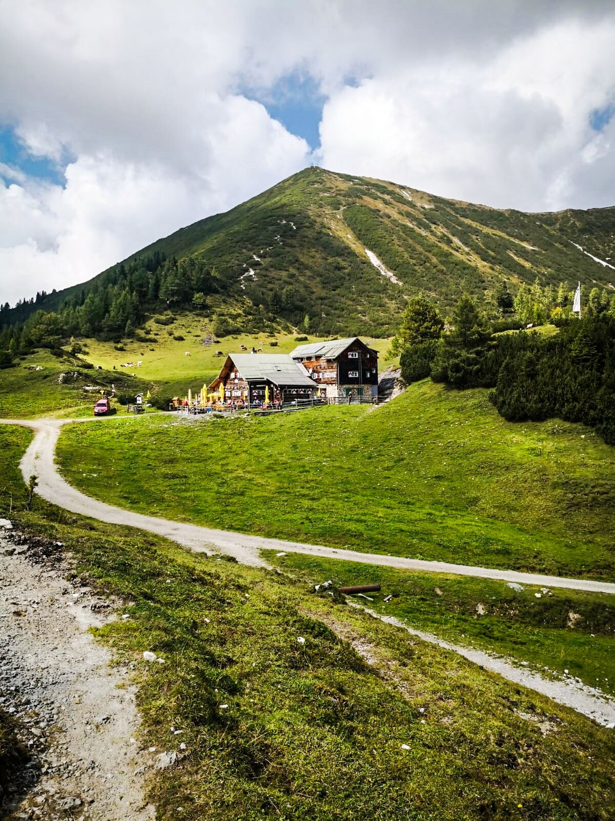
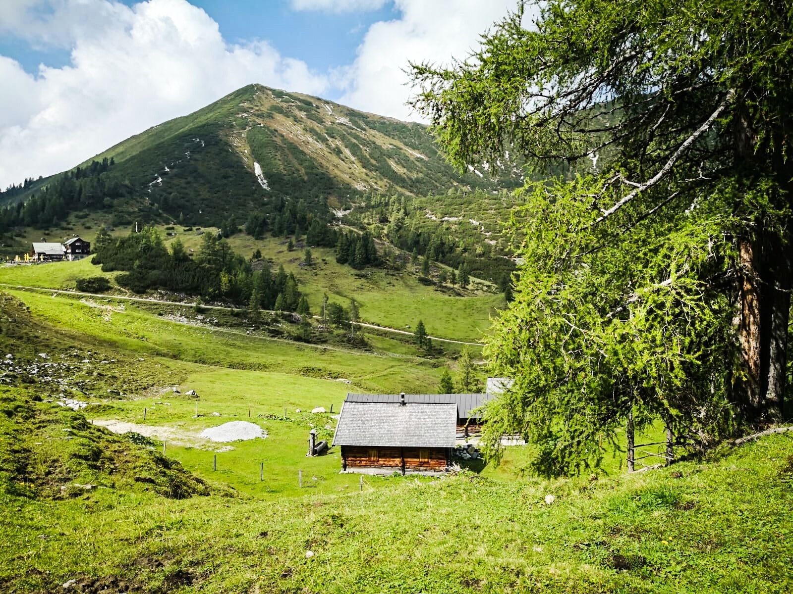
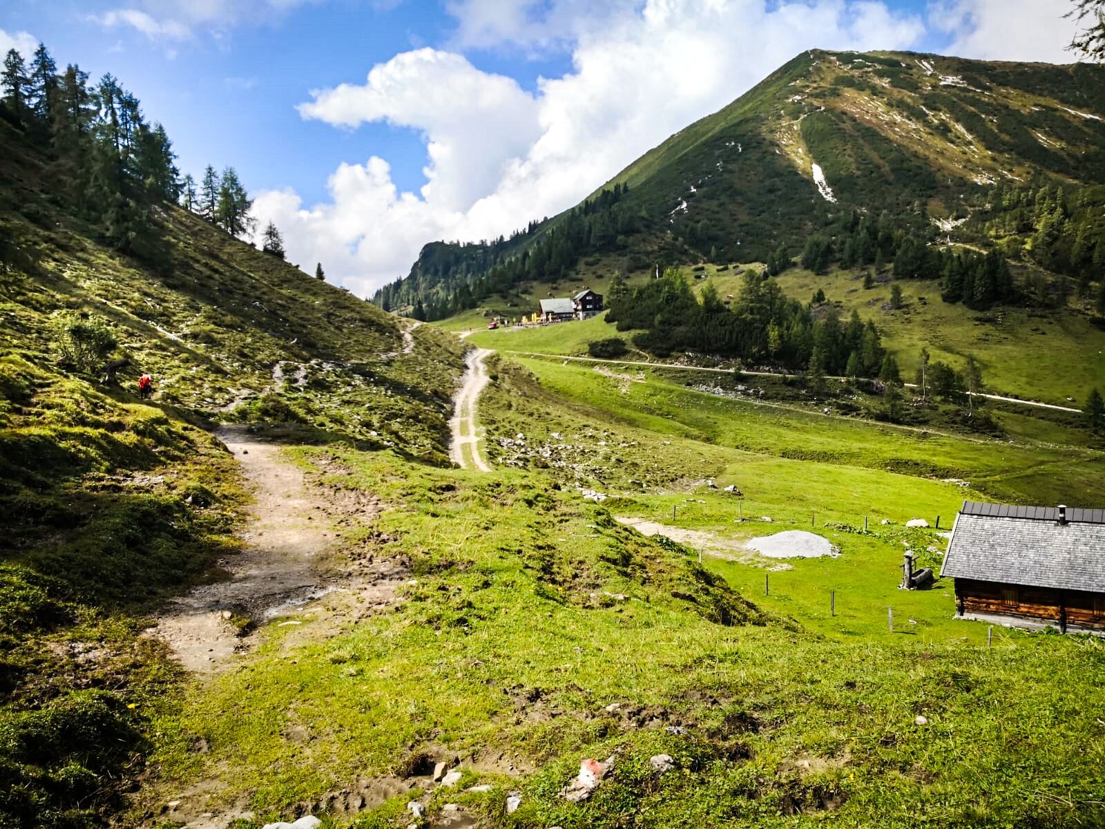
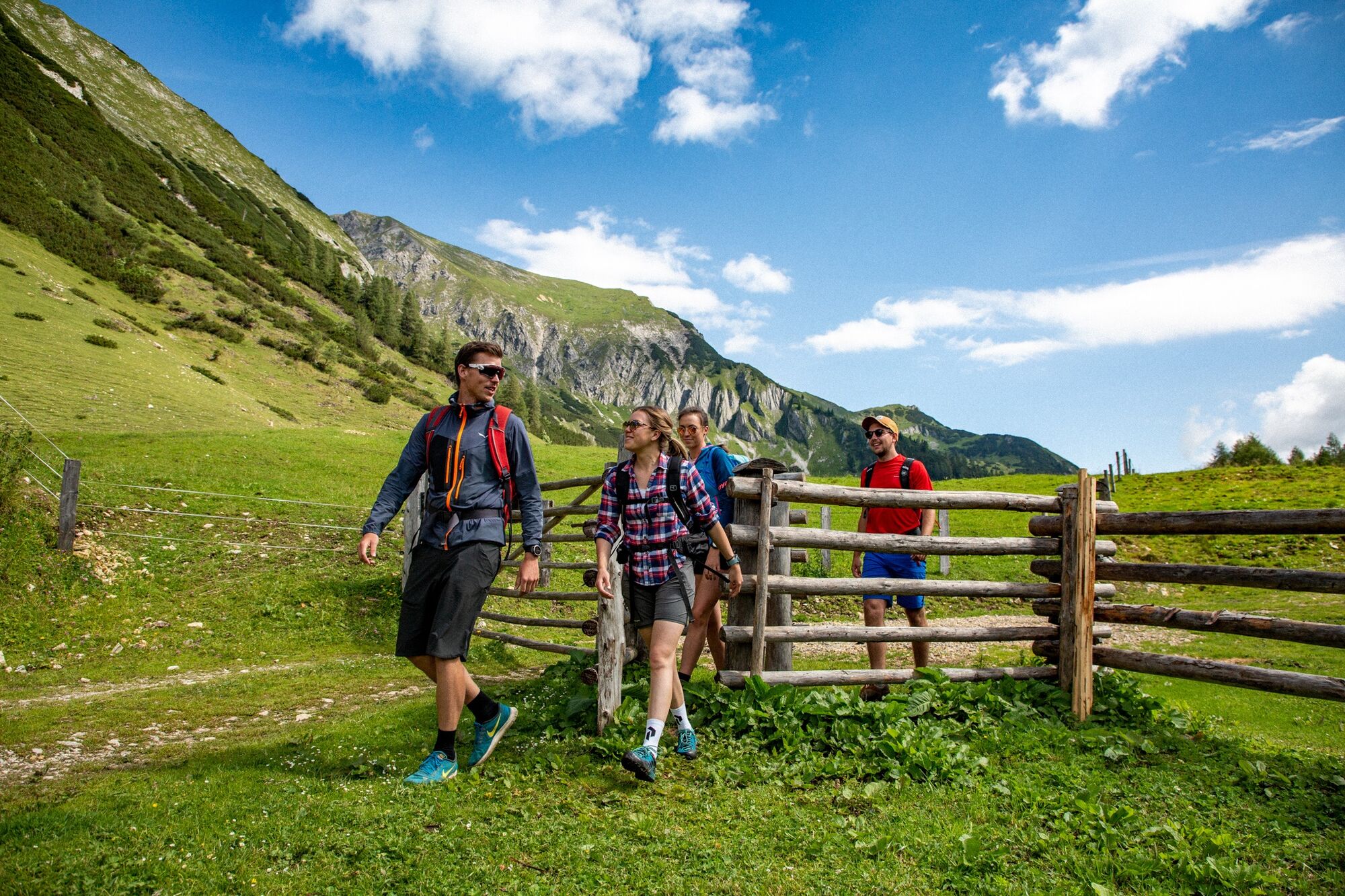
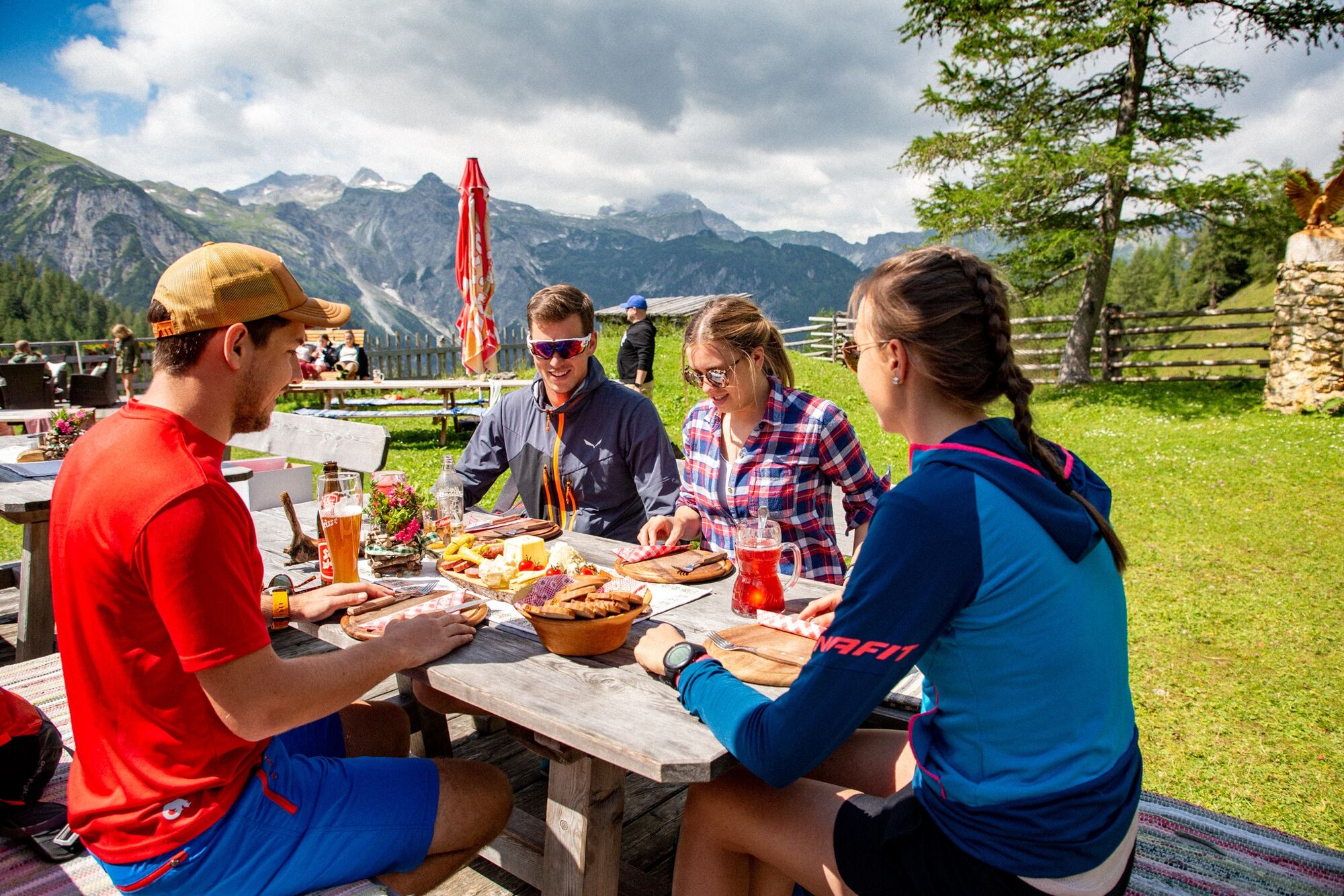
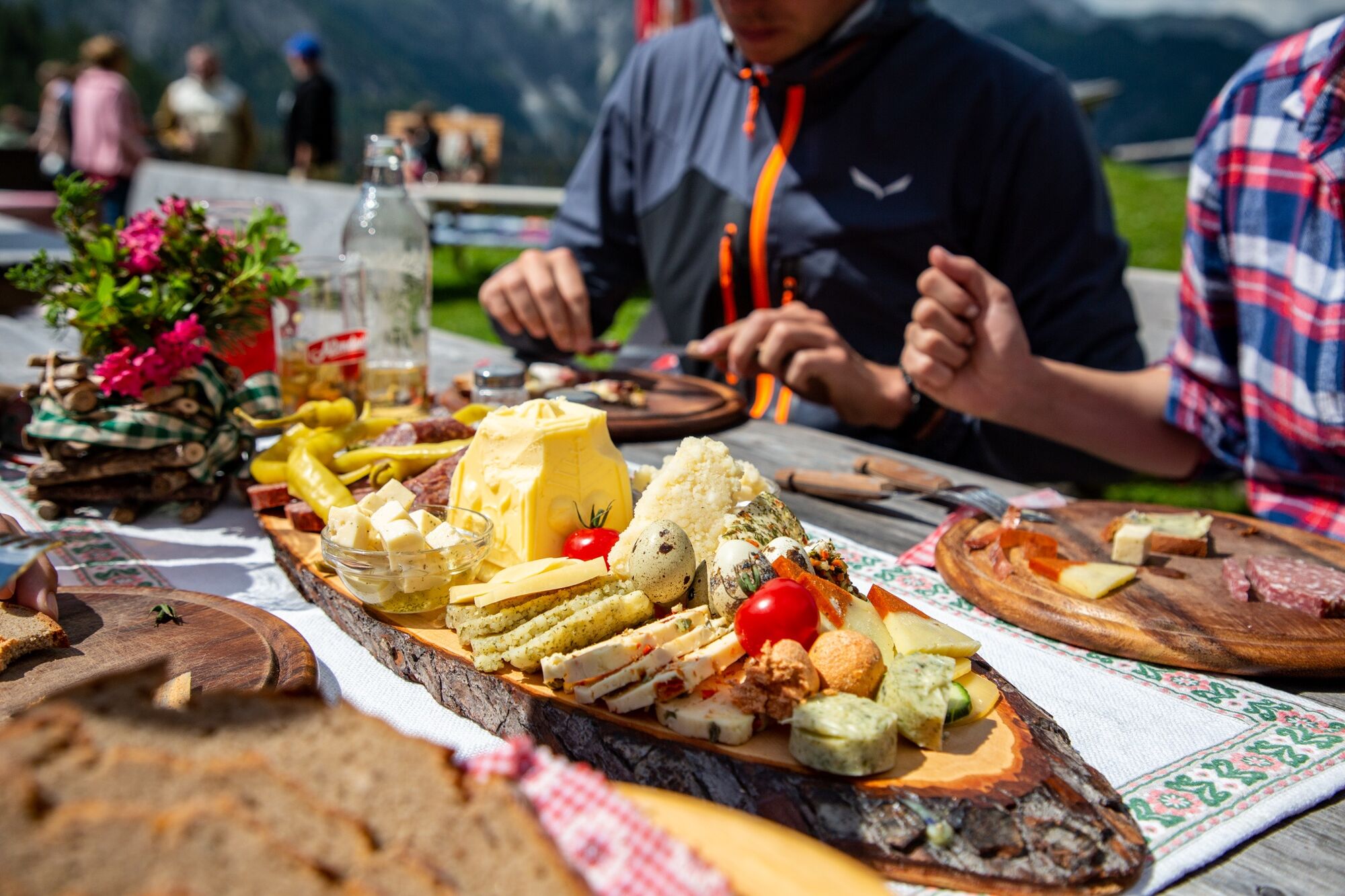
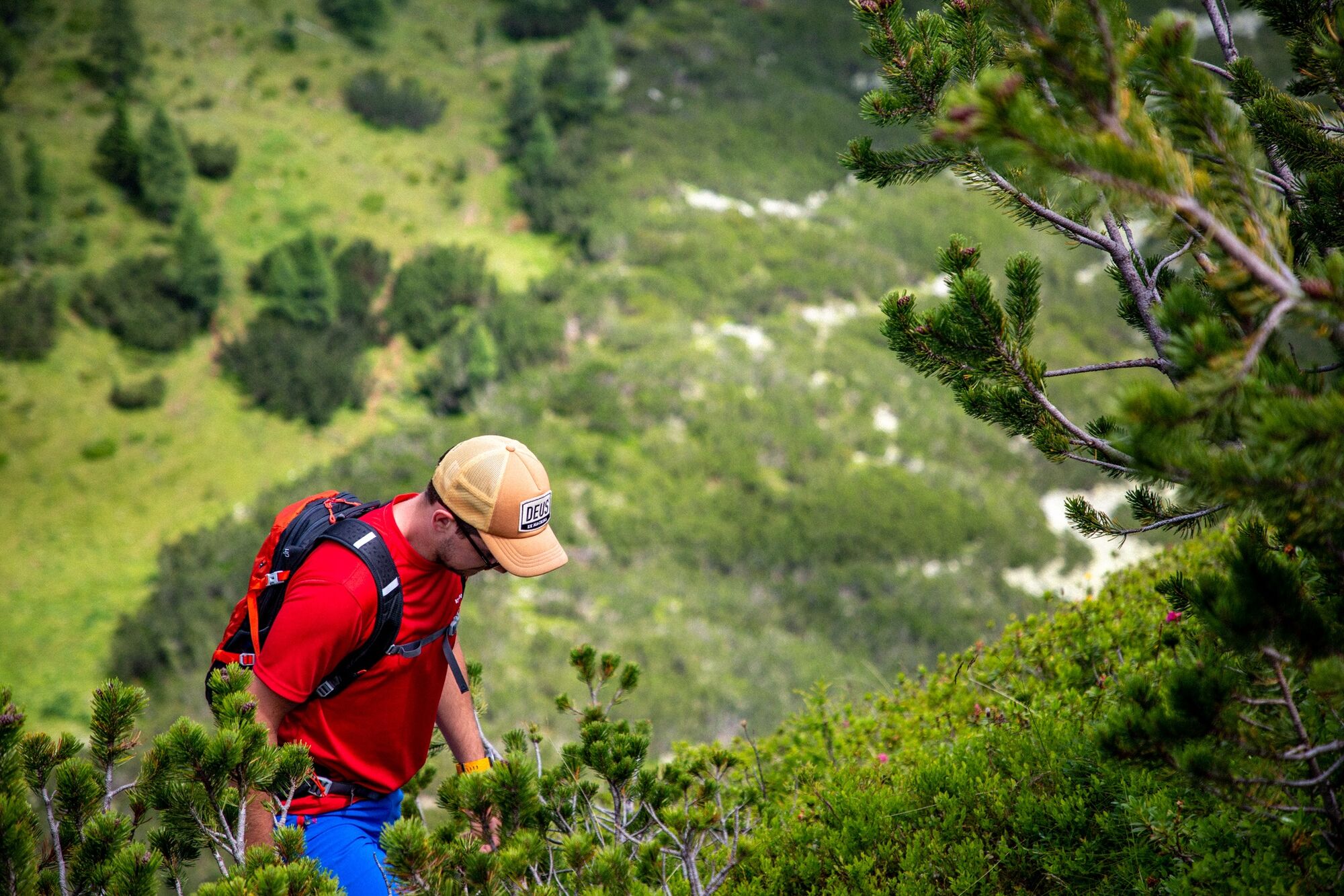
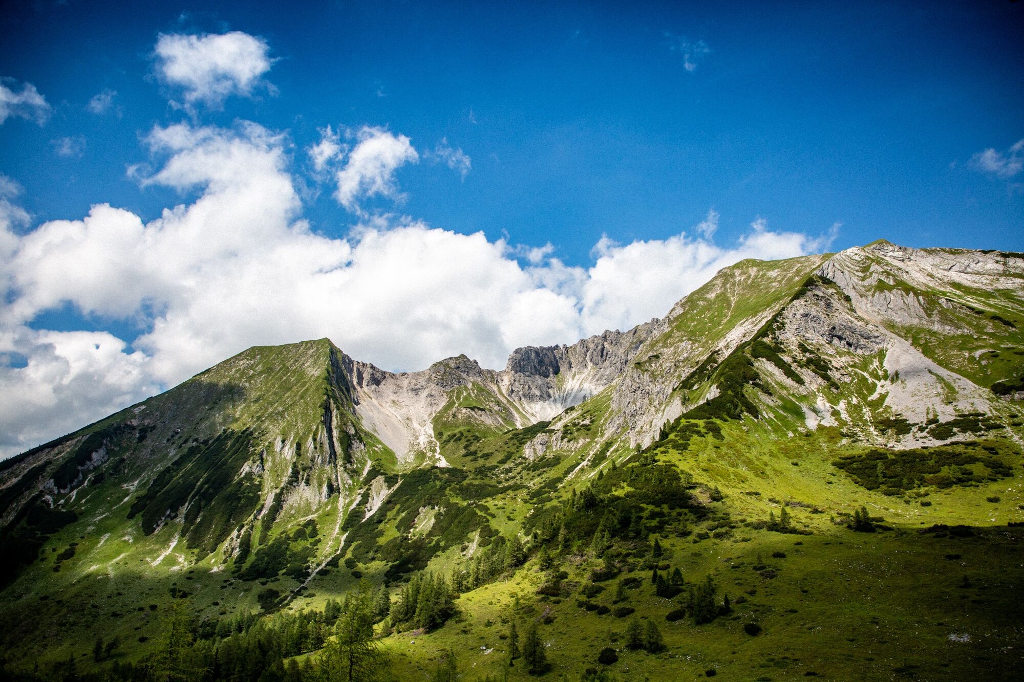
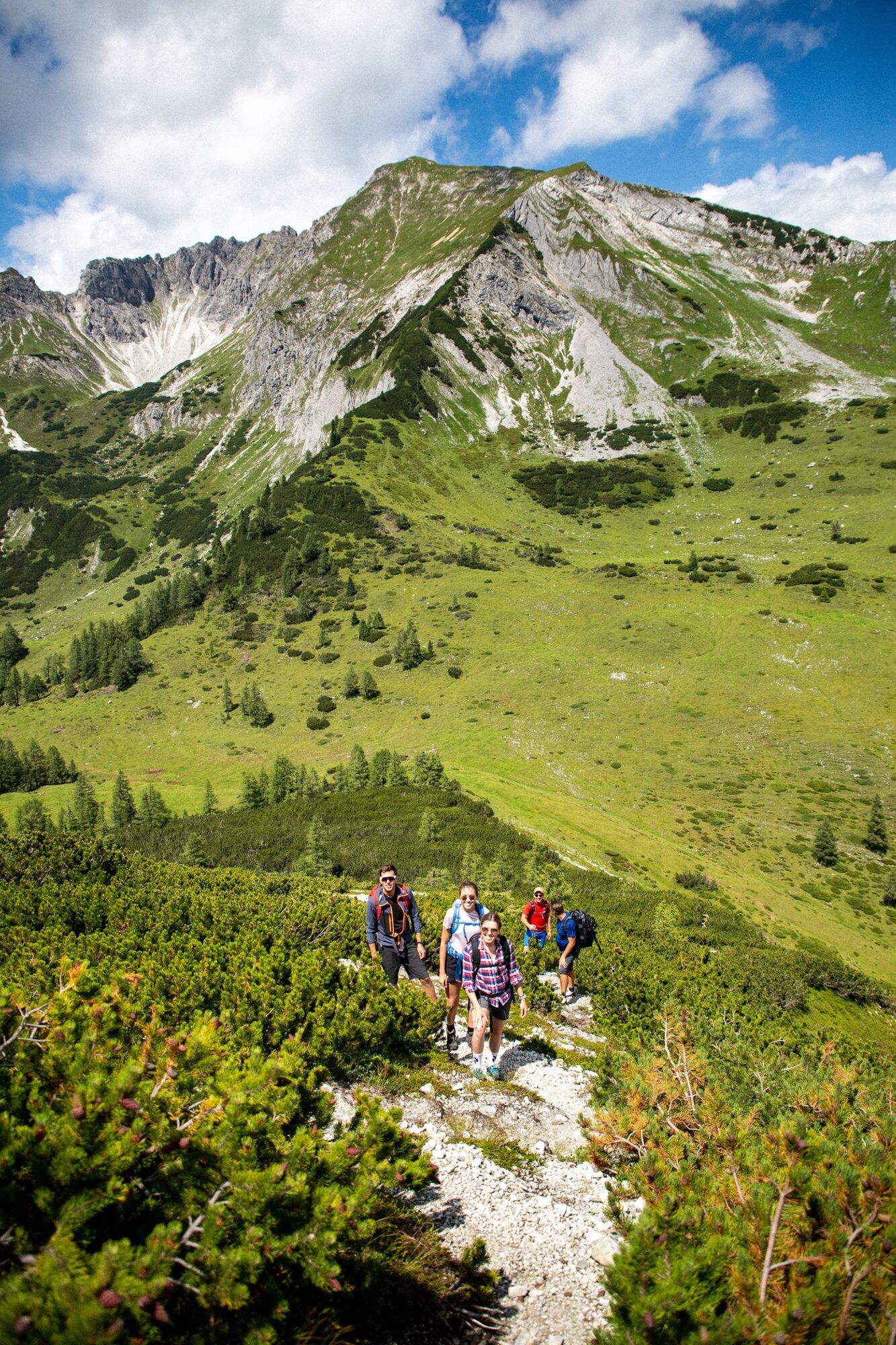
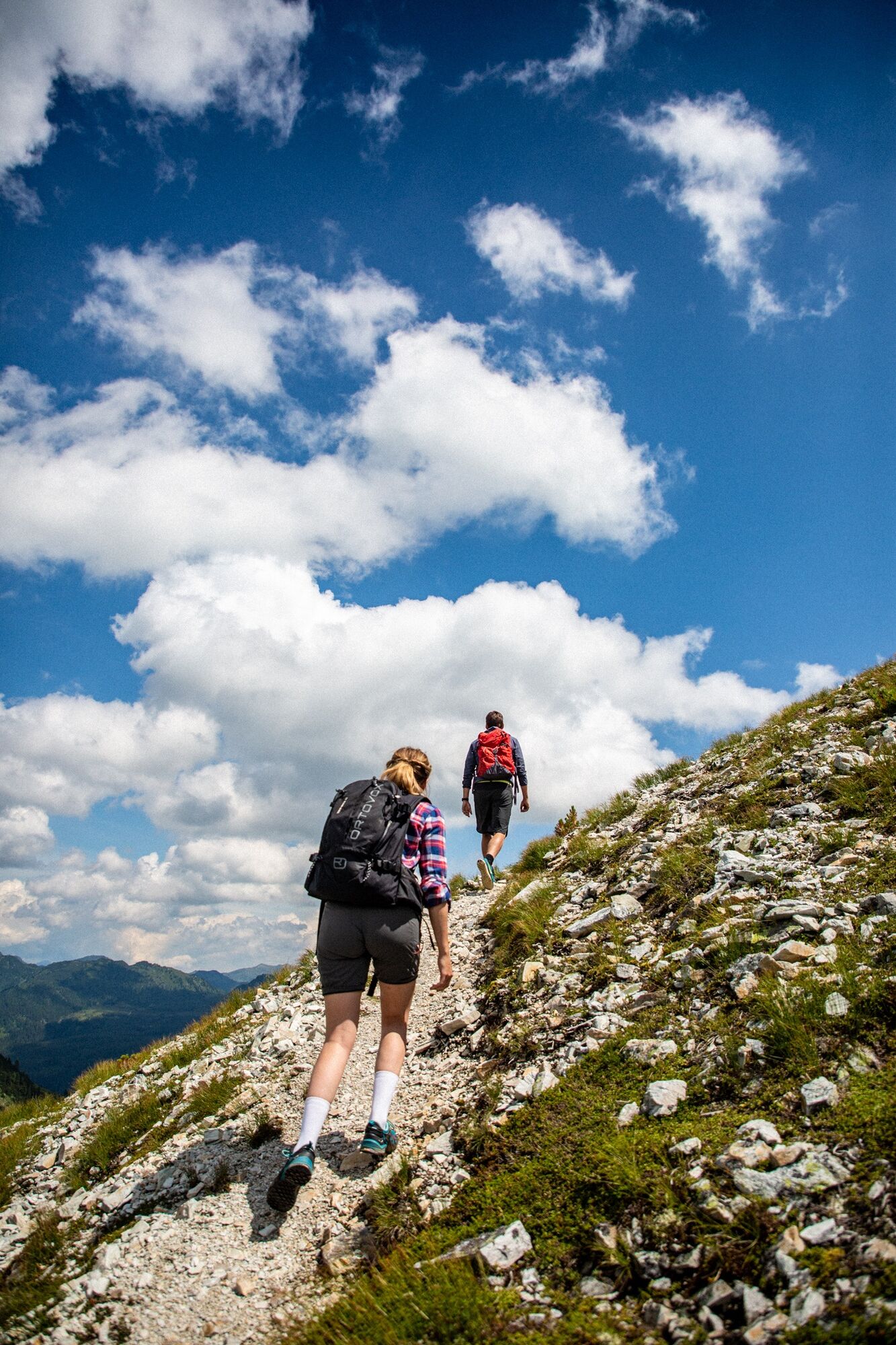

Autobahnkapelle in Flachauwinkl - via the forest road to the Unterbichlhütte - path no. 711 - then turn left and continue on path no. 711 - Oberpleißlingalm (approx. 1802 m) - Spirzinger (2066 m) path no. 27 - Spazeck (2065 m) - on the return from Spazeck, a trail descends on the right side to path no. 26 - direction Hafeichtkapelle/Scharfetthütte - back to Autobahnkapelle path no. 26
For those who do not want to hike to the summit, you can walk directly on the forest road from Oberpleißlingalm to Scharfetthütte - path no. 26
Ano
Basic equipment for hikers includes:
sturdy, high footwear with a grippy sole appropriate mountain clothing enough to drink snacks for in between sunglasses, sunscreen or rain protection if necessary mobile phone hiking poles first aid kitSure-footedness is required for the ascent from Oberpleißlingalm to the summit!
From Flachau via the Flachauwinkl road to the valley end (Gasthofalm) and from there to the Autobahnkapelle.
Sportwelt bus to Flachauwinkl Gasthofalm
From June to September, the Sportwelt bus is the ideal feeder and return service for your hiking tours throughout the region (Flachau, Wagrain-Kleinarl, St. Johann-Alpendorf, Radstadt, Altenmarkt-Zauchensee, Eben, Filzmoos, Obertauern, Großarl & Hüttschlag).
With the "Guest Mobility Ticket" you can use the Sportwelt bus free of charge. You can get the ticket from your host.
More information can be found at: https://www.flachau.com/de/info/vor-ort/sportweltbus.html
Other bus connections: www.salzburg-verkehr.at
Parking lot at the Autobahnkapelle
More on hiking in Flachau can be found at: https://www.flachau.com/sommer/wandern/
Local weather info: https://www.flachau.com/live/ or www.zamg.ac.at
With a bit of luck, you can observe marmots (or "Mangei" as we say here) and if you behave very quietly, you might even manage to take some photos.
At Scharfetthütte, binoculars are also available to enjoy the magnificent panorama and to observe wild animals.

Webové kamery z prohlídky
Získejte přehled
Vždy živě na místě s více než 9 500 webkamerami. bergfex Jako uživatel Pro si nyní můžete zobrazit odpovídající webové kamery pro mnoho prohlídek v aplikaci prohlídky z. Můžete si tak přímo prohlédnout aktuální podmínky.
Oblíbené prohlídky v okolí
-
5.0
Großarl: Alpine pasture circuit in Ellmautal
středníTuristika 9.69 km -
4.1
Tappenkarsee Kleinarl
středníTuristika 9.11 km -
4.6
Ski route Lackenkogel
středníLyžařská trasa 7.82 km -
5.0
Twengsee
středníTuristika 9.66 km -
4.8
Obertauern to the Johannes Waterfall
středníTuristika 9.39 km -
4.5
Mosermandl Windischscharte, Salzburger Land/Österreich
heavyTuristika 14.6 km -
4.4
Uralm - Giglachsee
světloTuristika 7.70 km -
5.0
Hüttschlag: Karteistörl - Tappenkarsee - Draugsteintörl - Draugsteinalmen
středníTuristika 13.5 km -
4.3
Ski tour Red 8er Wagrain
středníLyžařská trasa 4.12 km -
5.0
Strimskogel-Runde
Turistika 13 km
Pěší turistika a stopování


Nenechte si ujít nabídky a inspiraci pro vaši příští dovolenou
Vaše e-mailová adresa byl přidán do poštovního seznamu.





