







Mittersill: Maurerkogel path no. 79

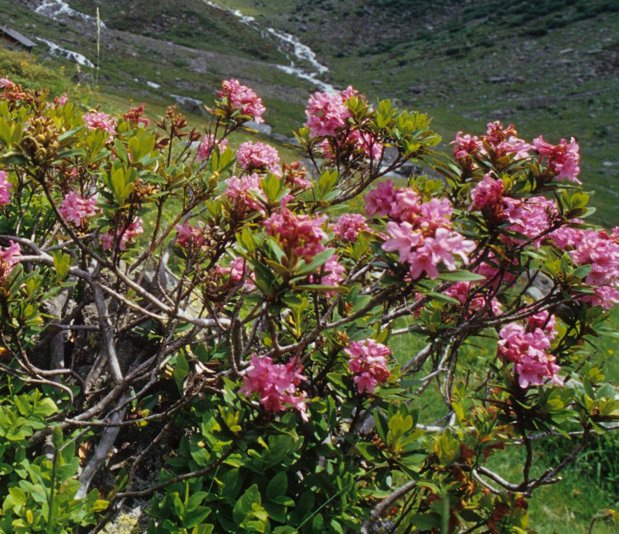
The autumn alpine flora at Schellenberg offers many facets. The plants and grasses that bloom in high summer fade, and the alpine landscape shines in autumnal colors. Take your time and explore the secrets...
The autumn alpine flora at Schellenberg offers many facets. The plants and grasses that bloom in high summer fade, and the alpine landscape shines in autumnal colors. Take your time and explore the secrets of nature.

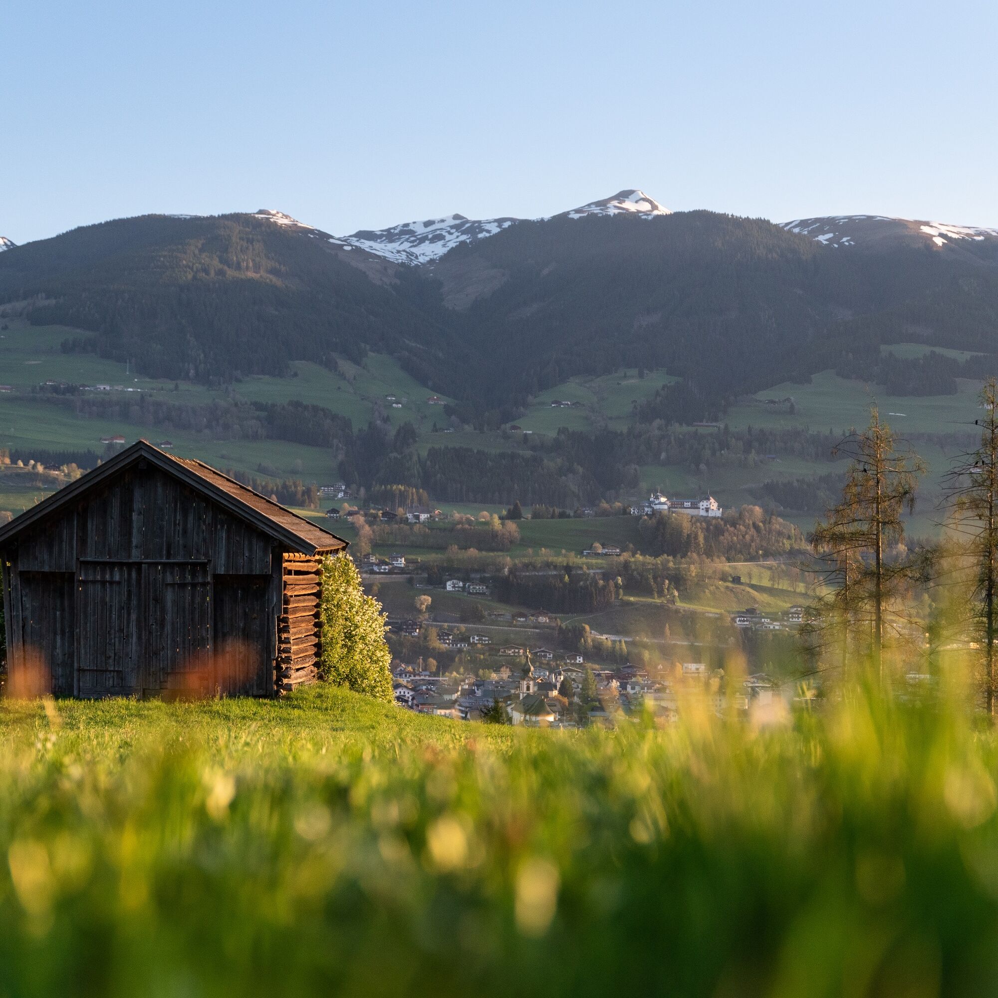

Hike starting from Brandnerhof Mittersill following path number 79. Before Brunnalm, turn left onto the mountain pasture path and hike towards Brandneralm, always following the pasture path. At the end of the pasture path, you can already see the Maurerkogel. At the foot of the Maurerkogel begins a small trail that leads to the summit.
Ano
Ano
Ano
Ankle-high hiking boots, weatherproof clothing, hiking map, snacks, and drinking water required!
A basic level of surefootedness is required!
Drive along Pass Thurner Straße. After Schloss Mittersill, turn right into the Thalbach district and immediately after the descent, keep left. From there, drive to the edge of the forest and turn right. Shortly after, turn left again. Stay on this road and continue uphill until you reach a cattle barrier. Do not go over the cattle barrier but turn right there and continue driving uphill on the asphalt road.
The Mittersill-Hollersbach-Stuhlfelden region is very well accessible by the Pinzgauer local and ÖBB buses.
Park your car in front of Brandnerhof and start your route.
Mittersill Plus GmbH, Zeller Straße 2, 5730 Mittersill, Tel. +43 (0)6562 4292,
welcome@mittersill.info, www.mittersill.info
There is no refreshment option on the hike, so pack enough snacks.

Oblíbené prohlídky v okolí
-
3.7
Smaragdwanderweg Habachtal/Bramberg
světloTuristika 7.17 km -
4.8
Streif Wanderweg
středníTuristika 5.73 km -
4.2
Panoramarundweg am Hahnenkamm
světloTuristika 3.02 km -
4.7
Hollersbach - Neue Fürther Hütte
Turistika 16.0 km -
4.6
Panorama route 3 peaks and 2 lakes
středníTuristika 7.21 km -
4.7
Tristkogel
heavyTuristika 15.6 km -
4.8
Fieberbrunn- Wildseeloderhaus- Rund um die Henne/Hochhörndlehütte
středníTuristika 8.02 km -
3.9
Hollersbach: Pihapper path no. 935
heavyTuristika 12.8 km -
4.9
Manlitzkogel
heavyTuristika 13.4 km -
4.1
Via the Schösswendklamm to Hintersee
středníTuristika 8.29 km
Pěší turistika a stopování


Nenechte si ujít nabídky a inspiraci pro vaši příští dovolenou
Vaše e-mailová adresa byl přidán do poštovního seznamu.





