



Großarl: Himmelsroute

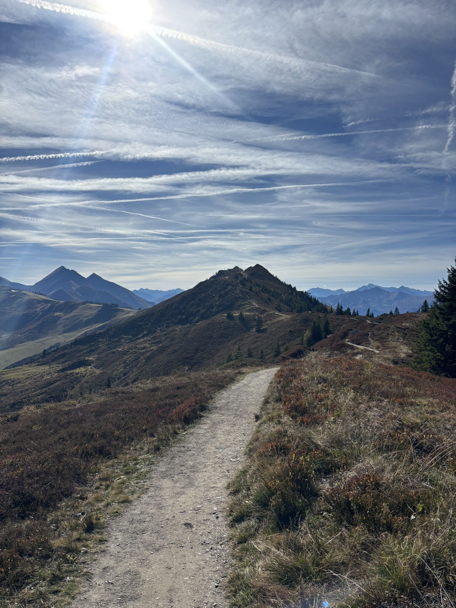
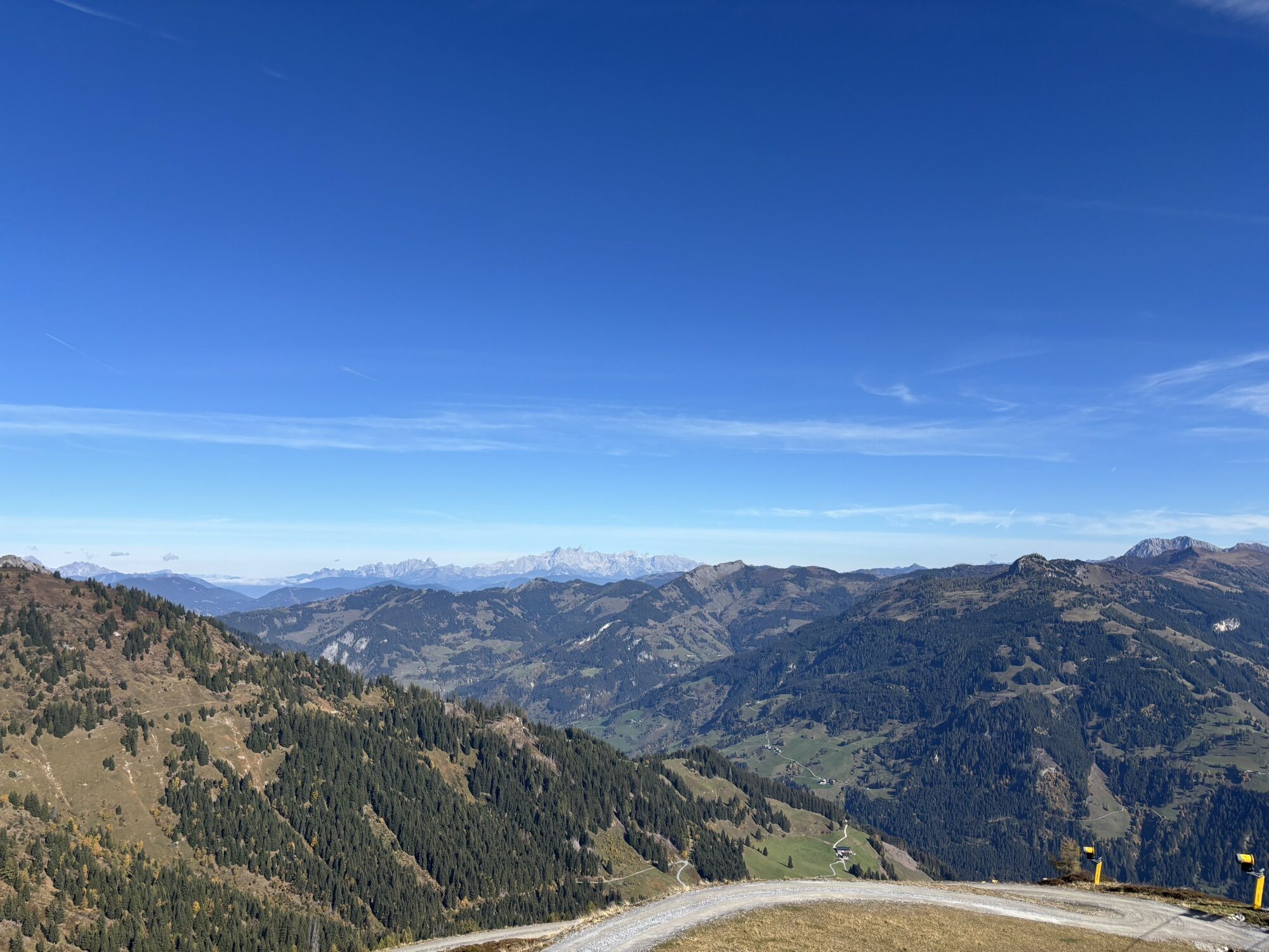
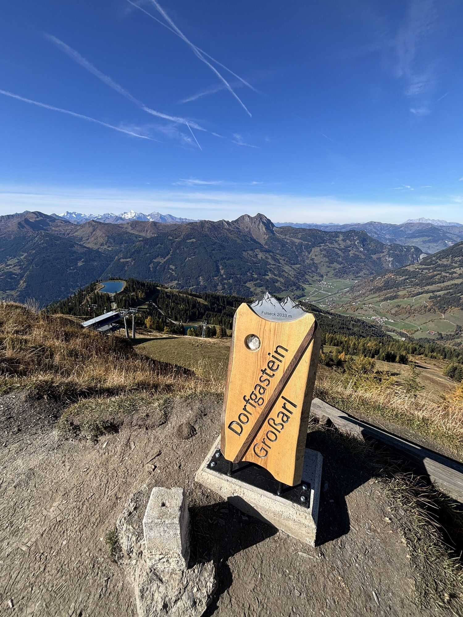
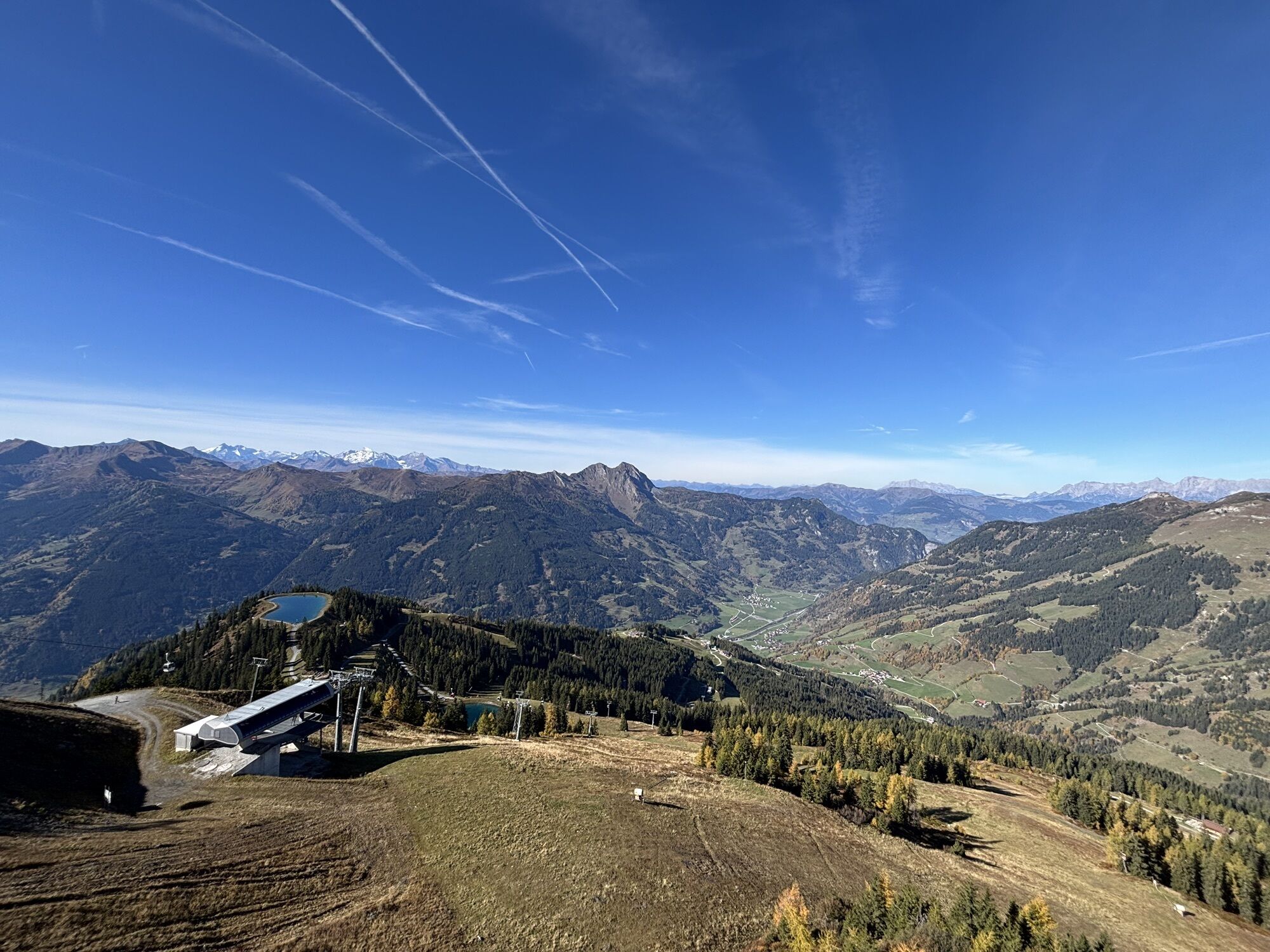
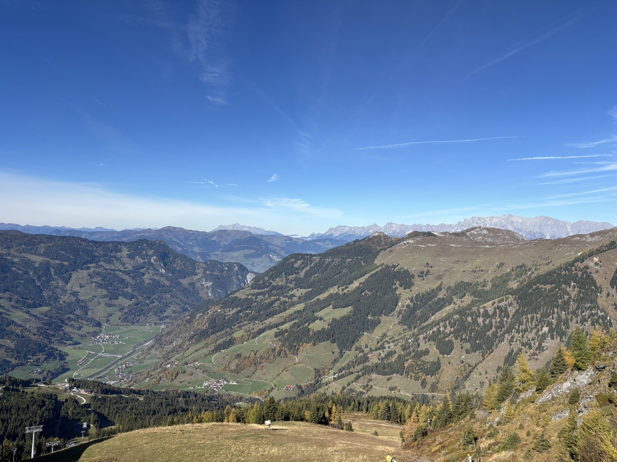
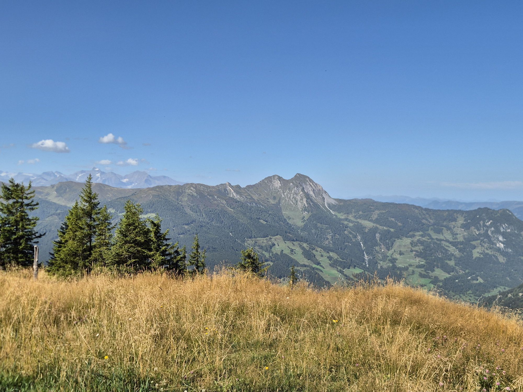
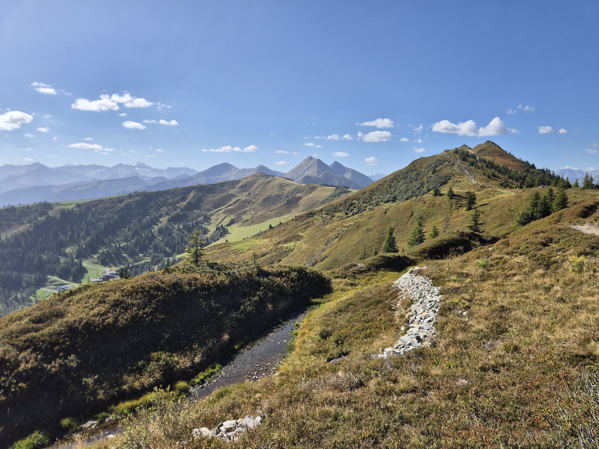
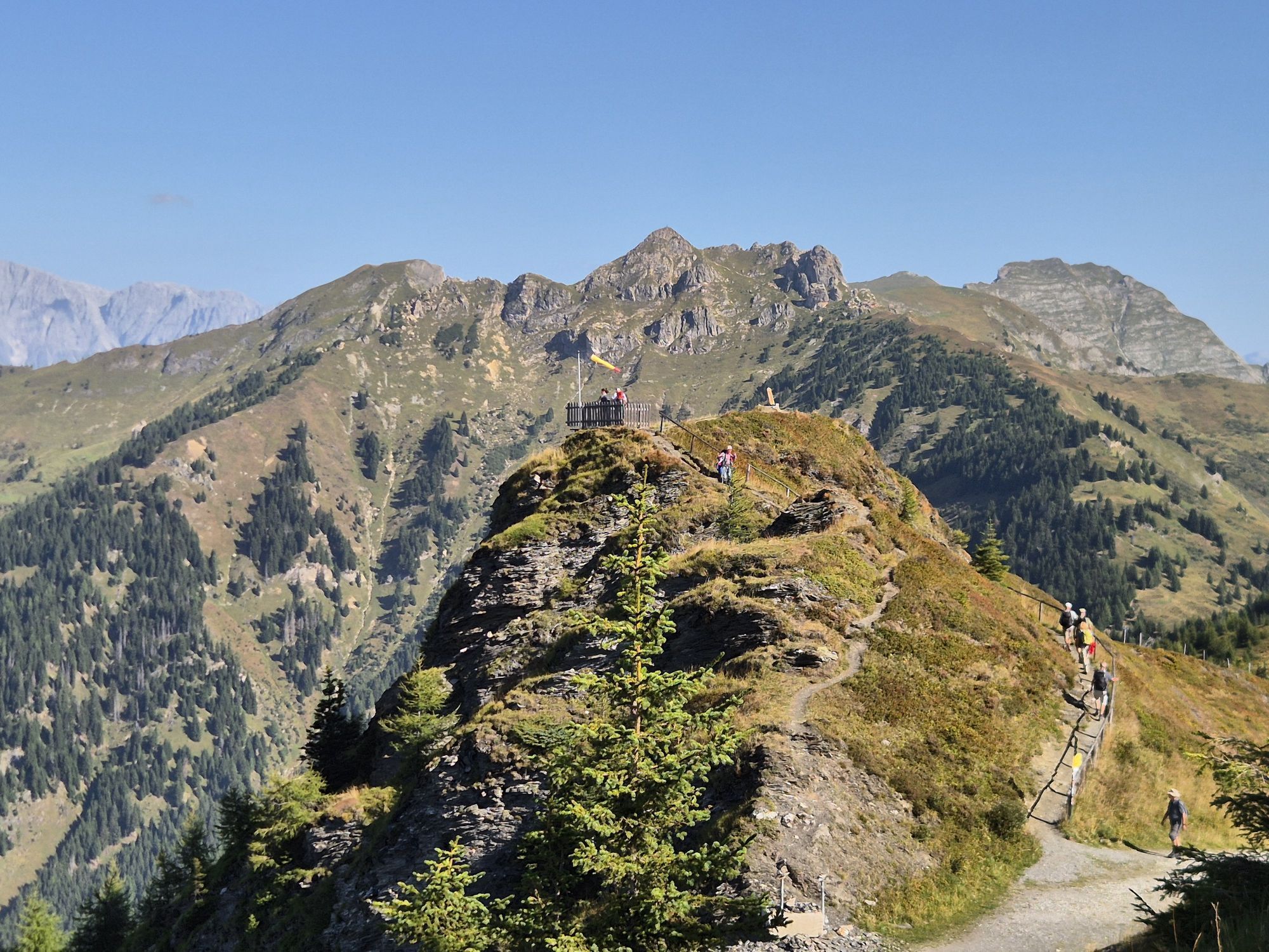
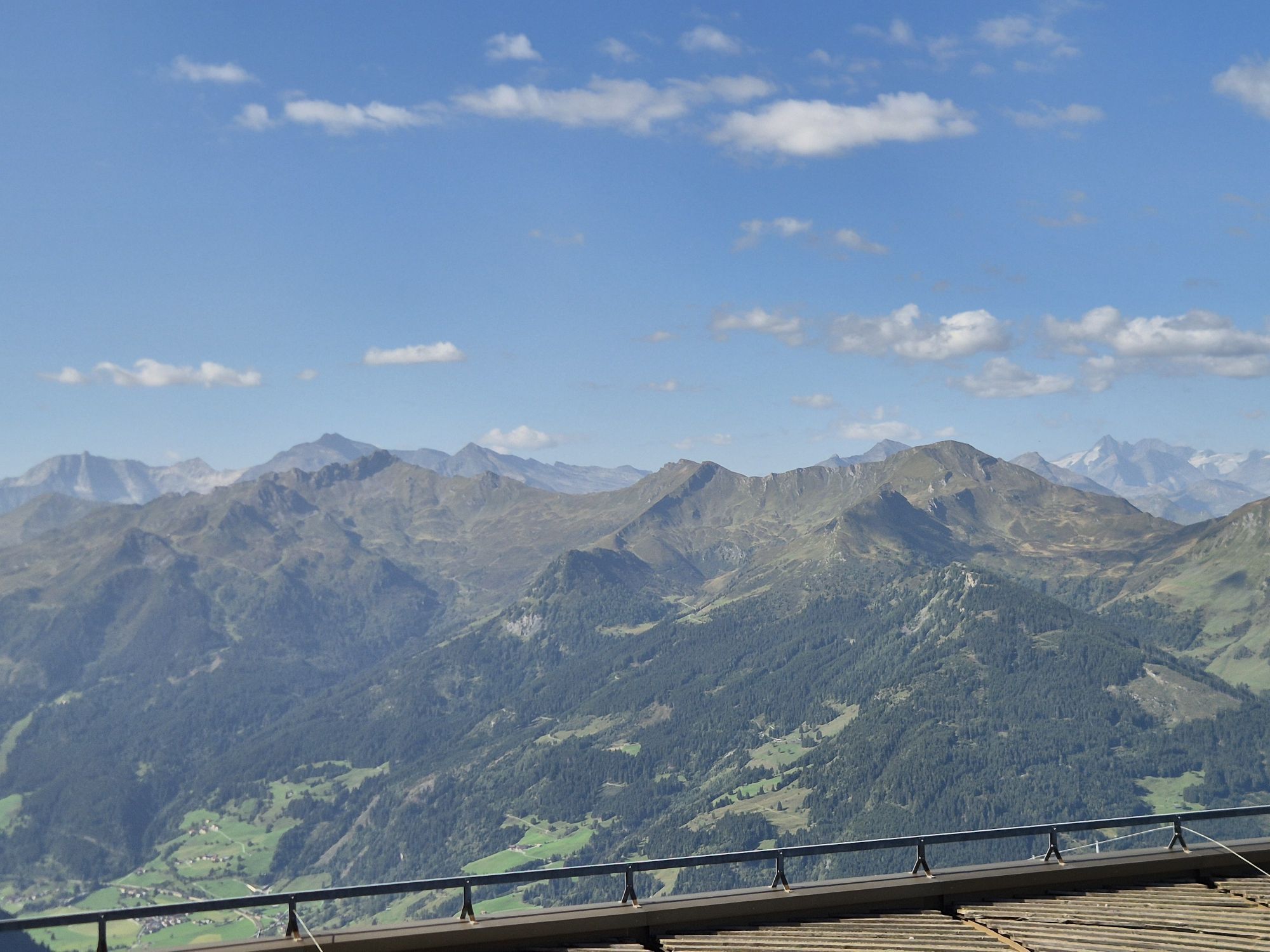
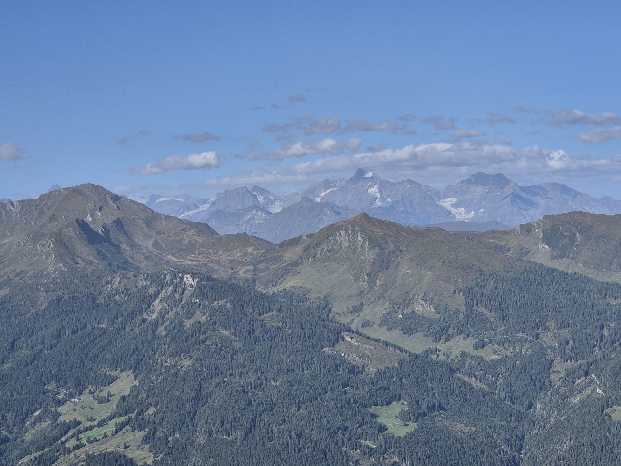
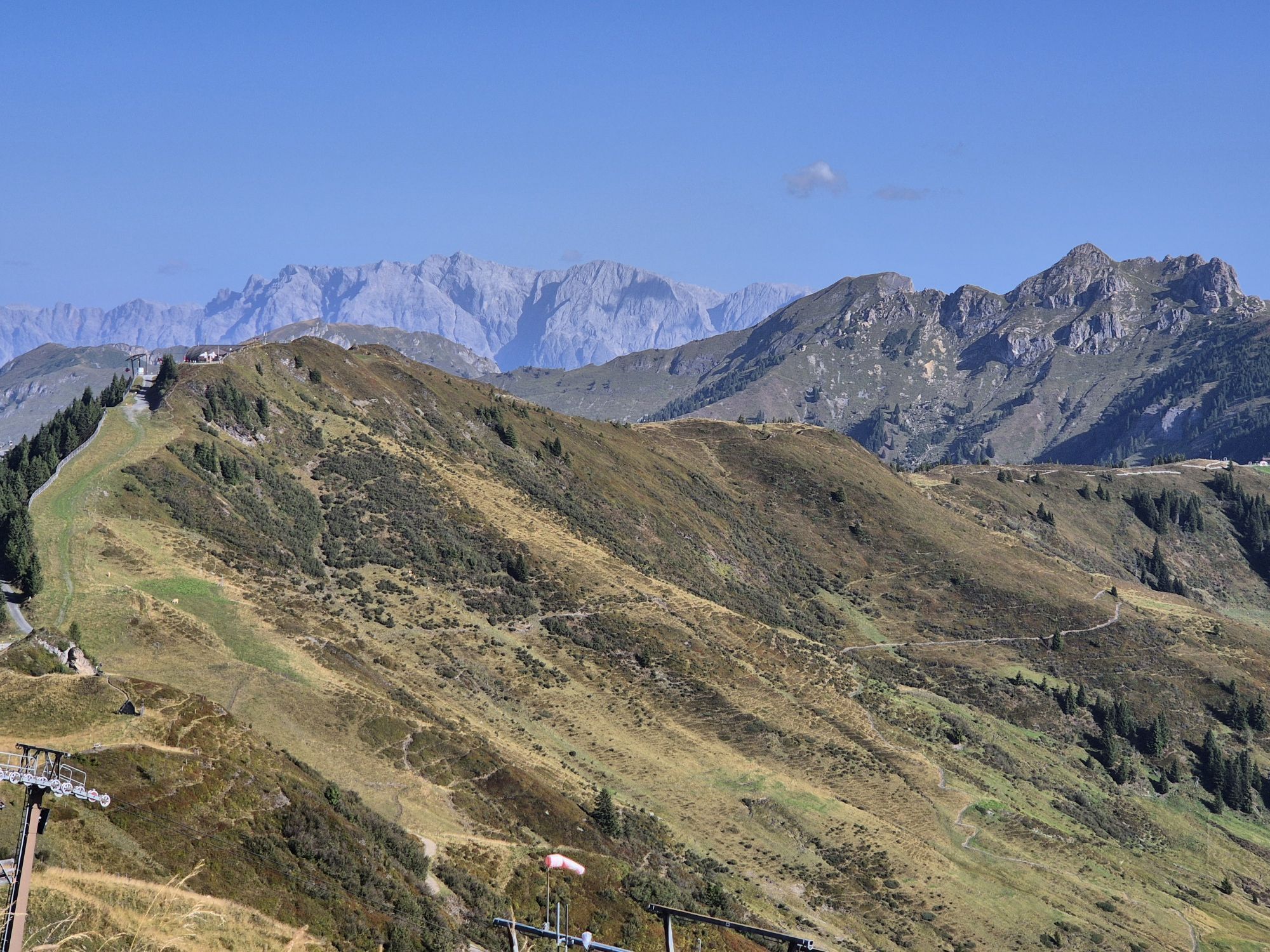
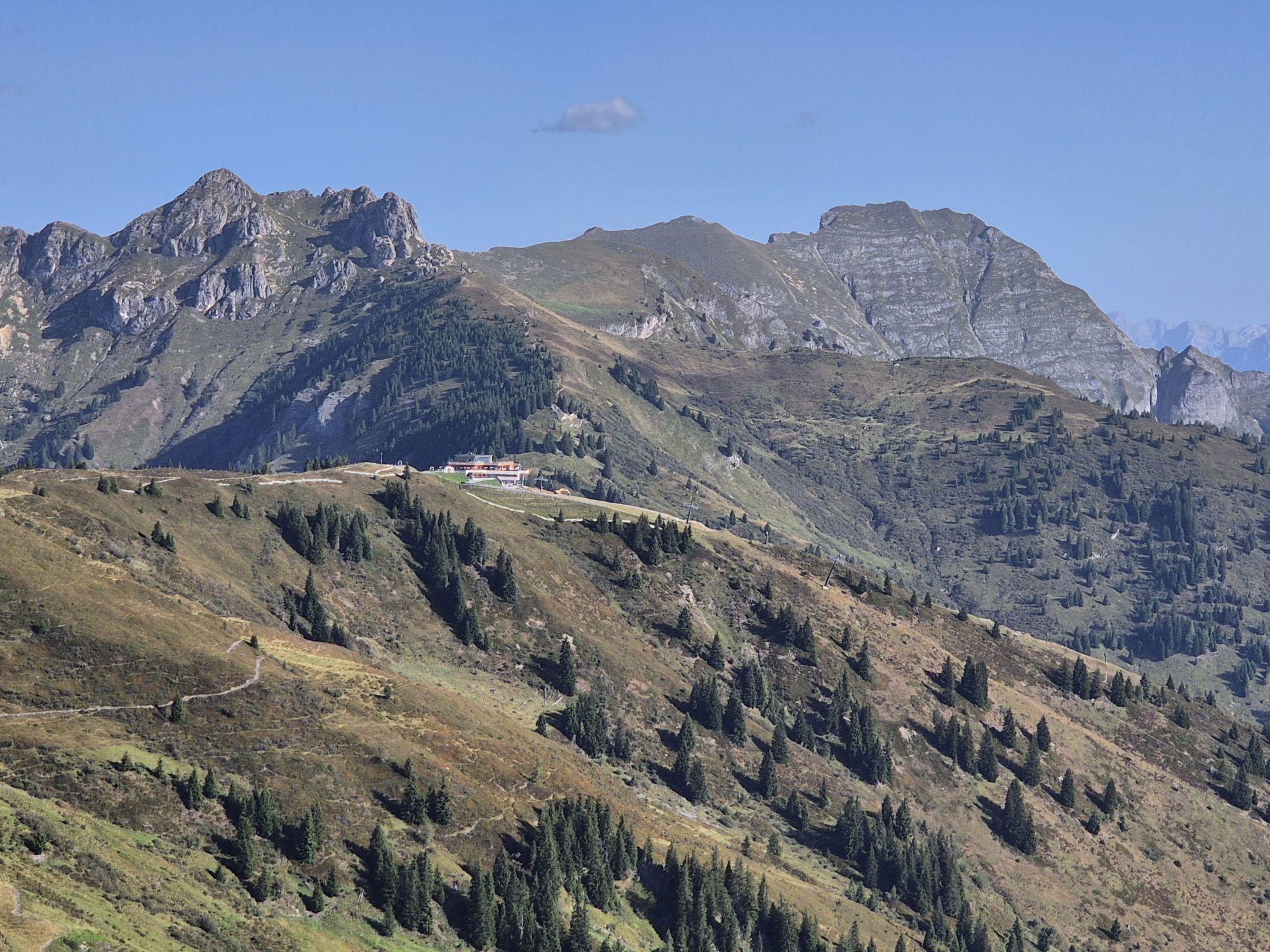
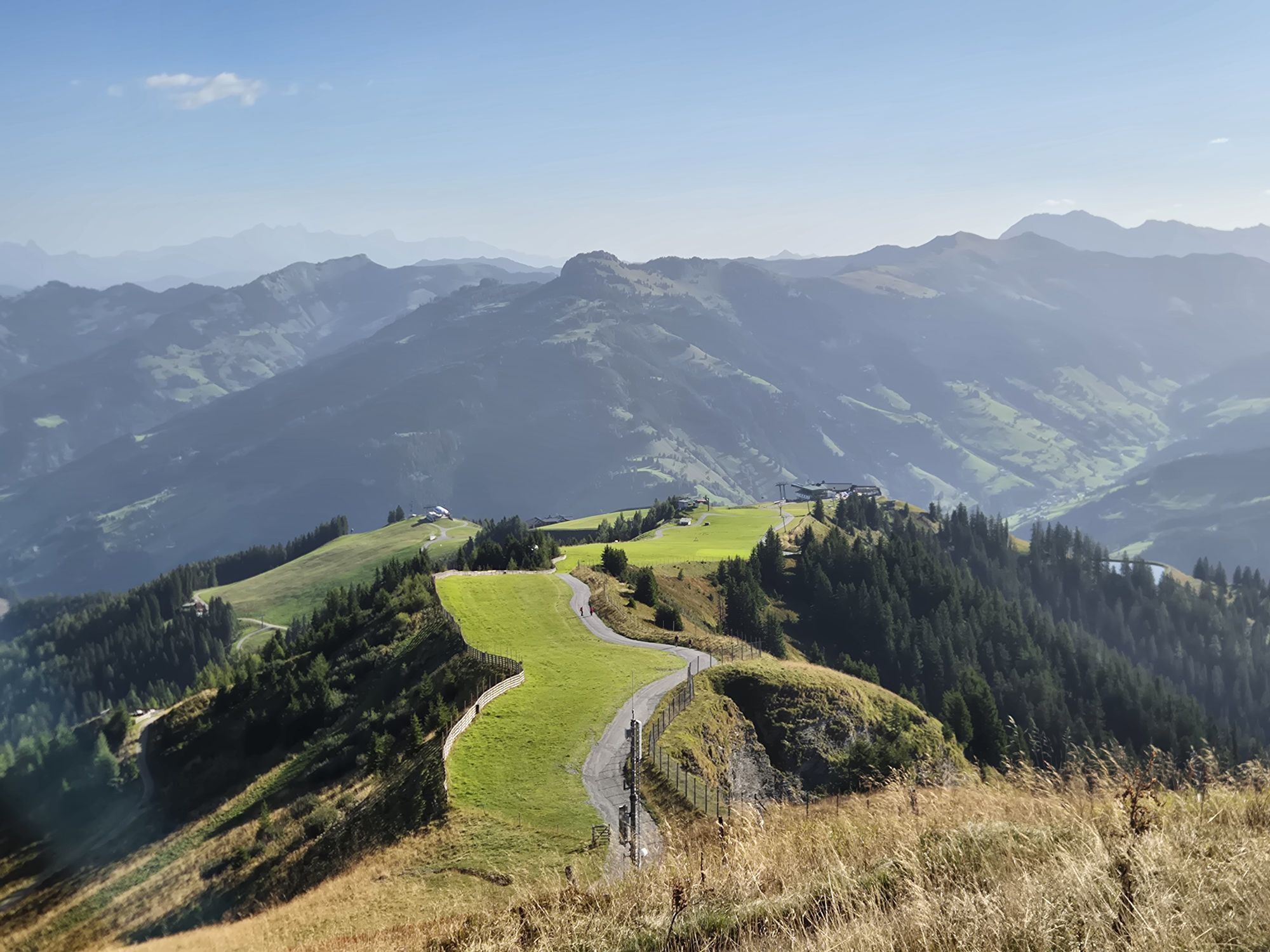
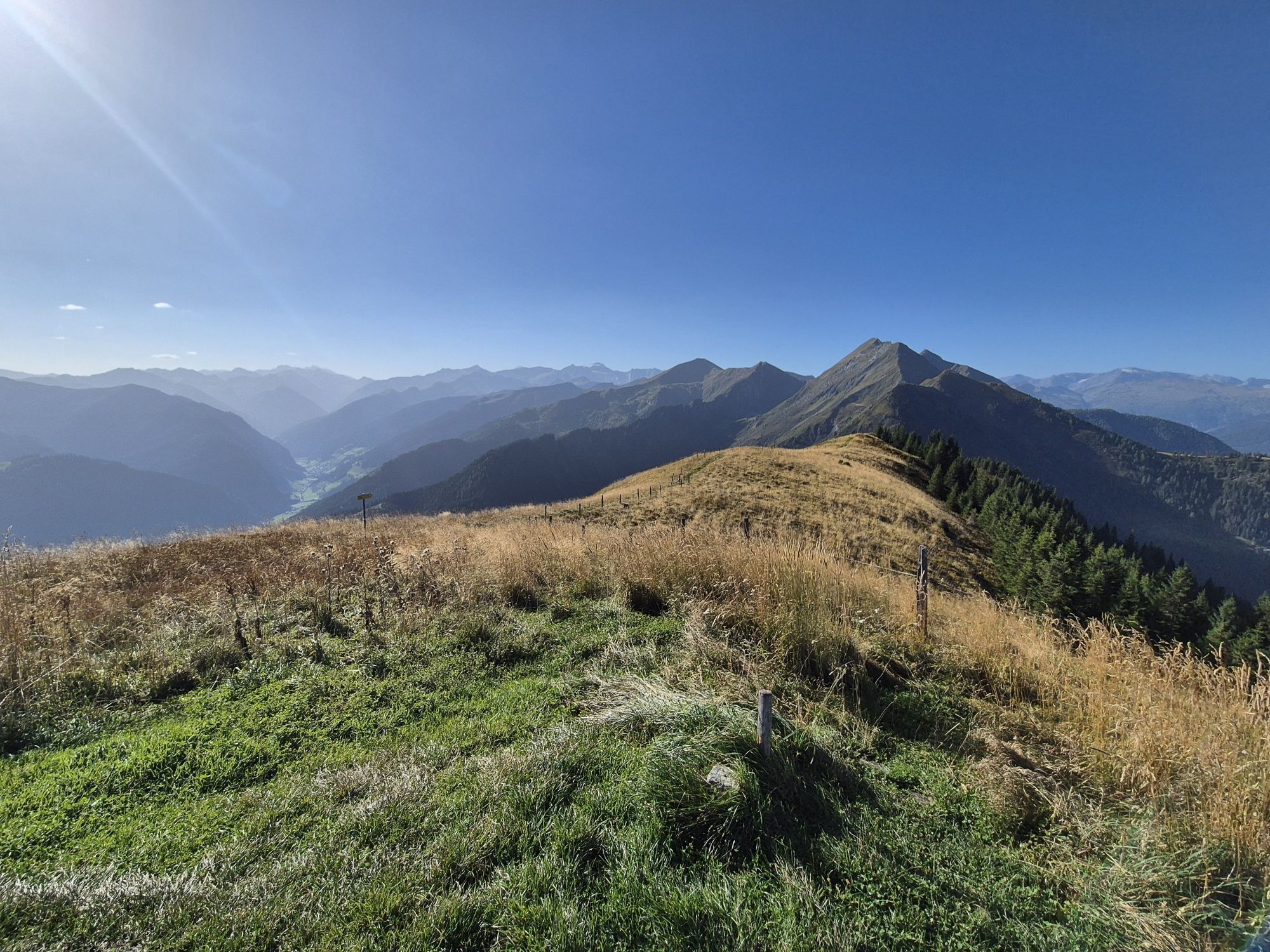
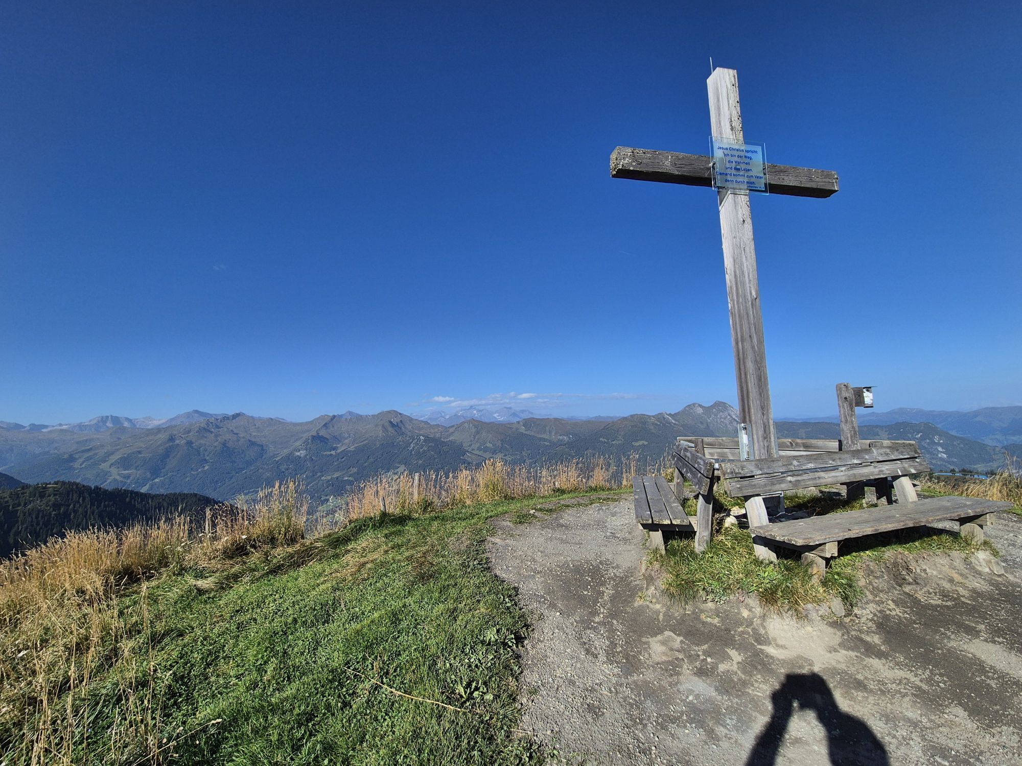
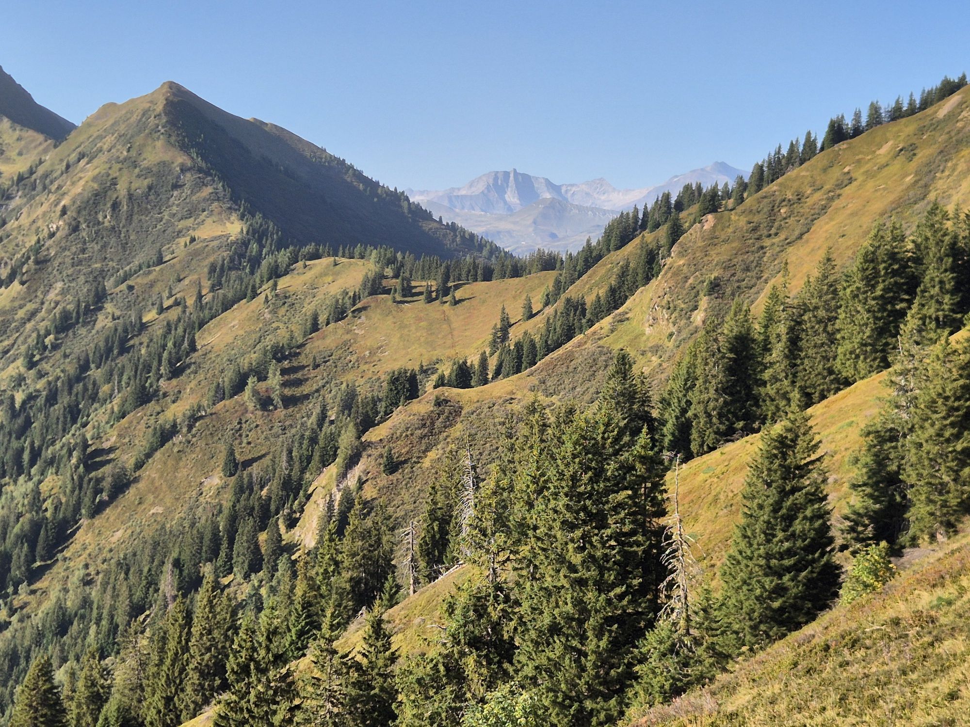
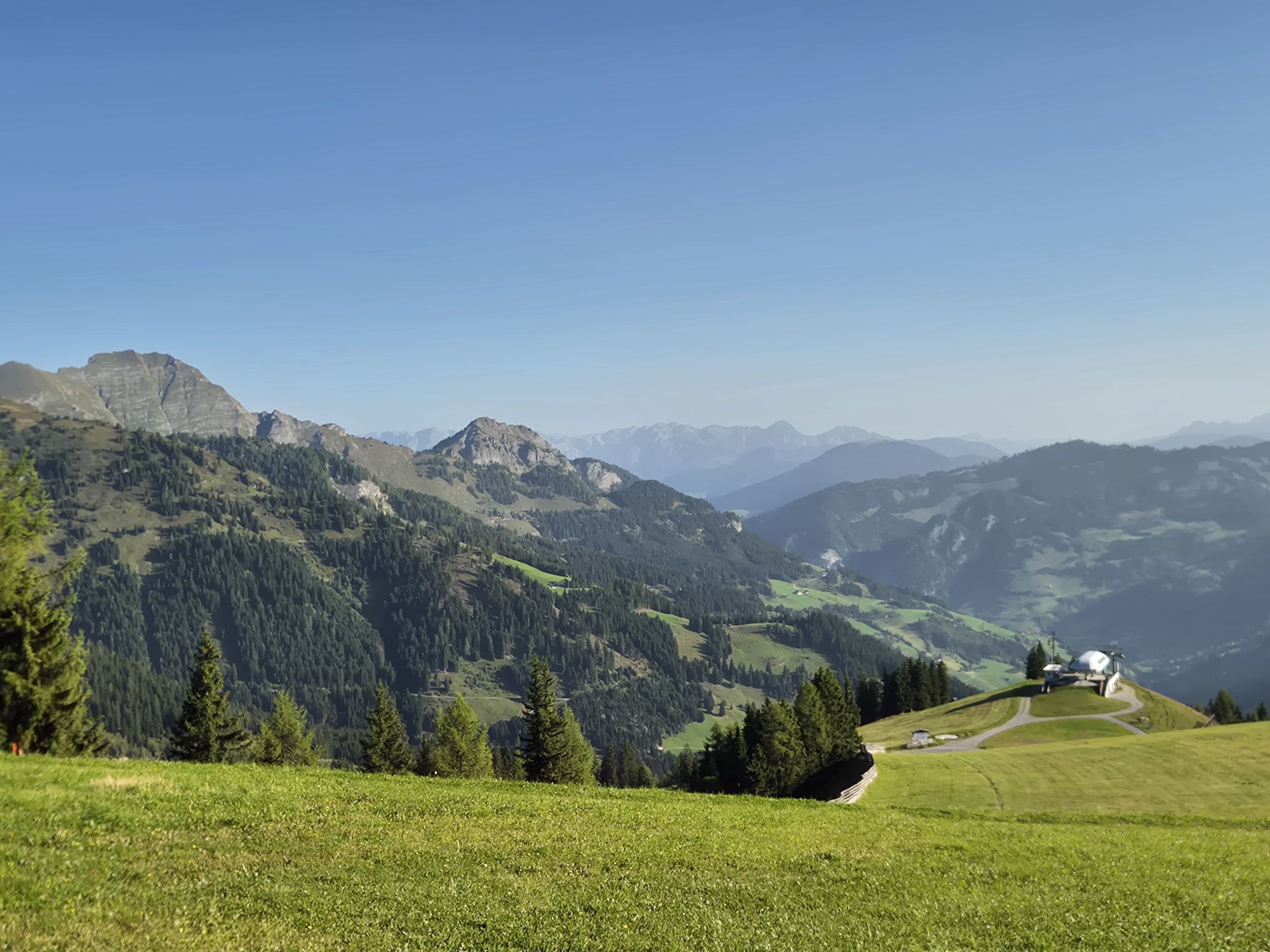
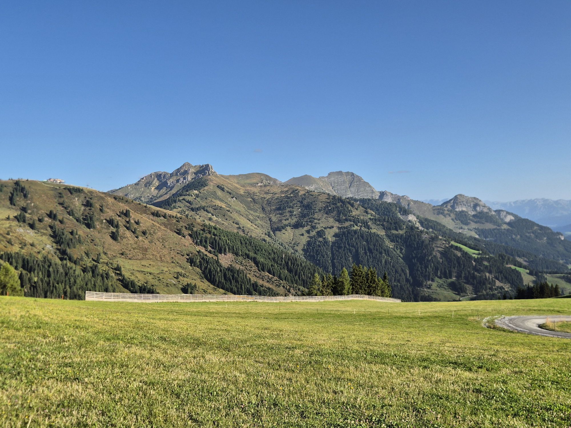
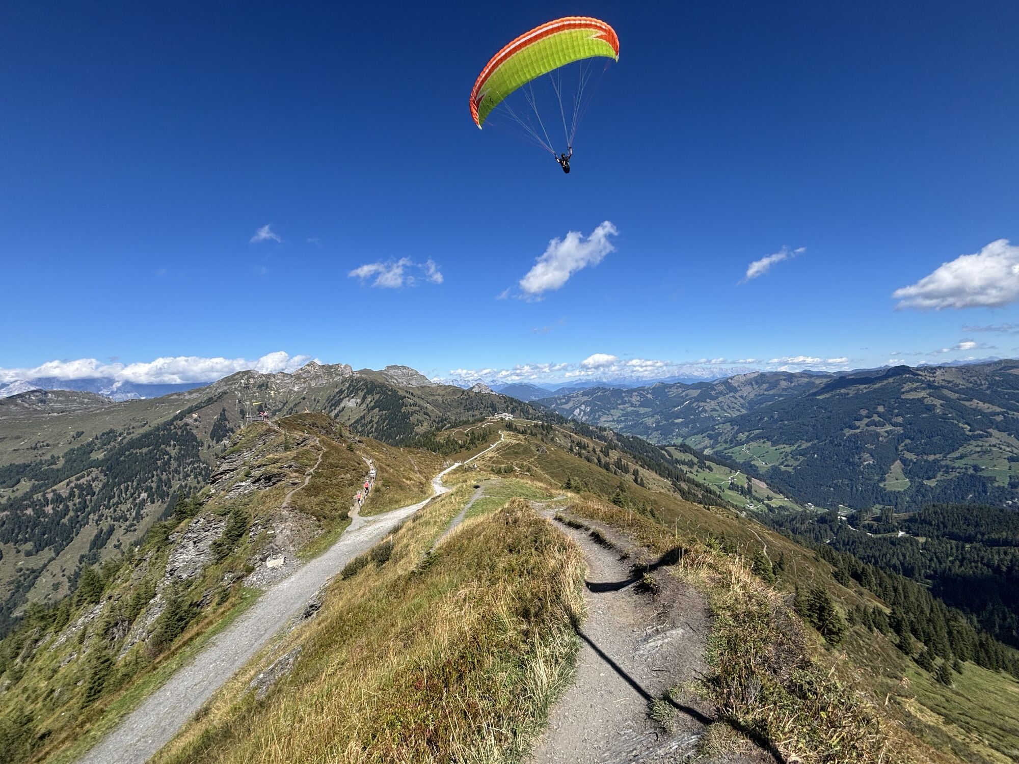
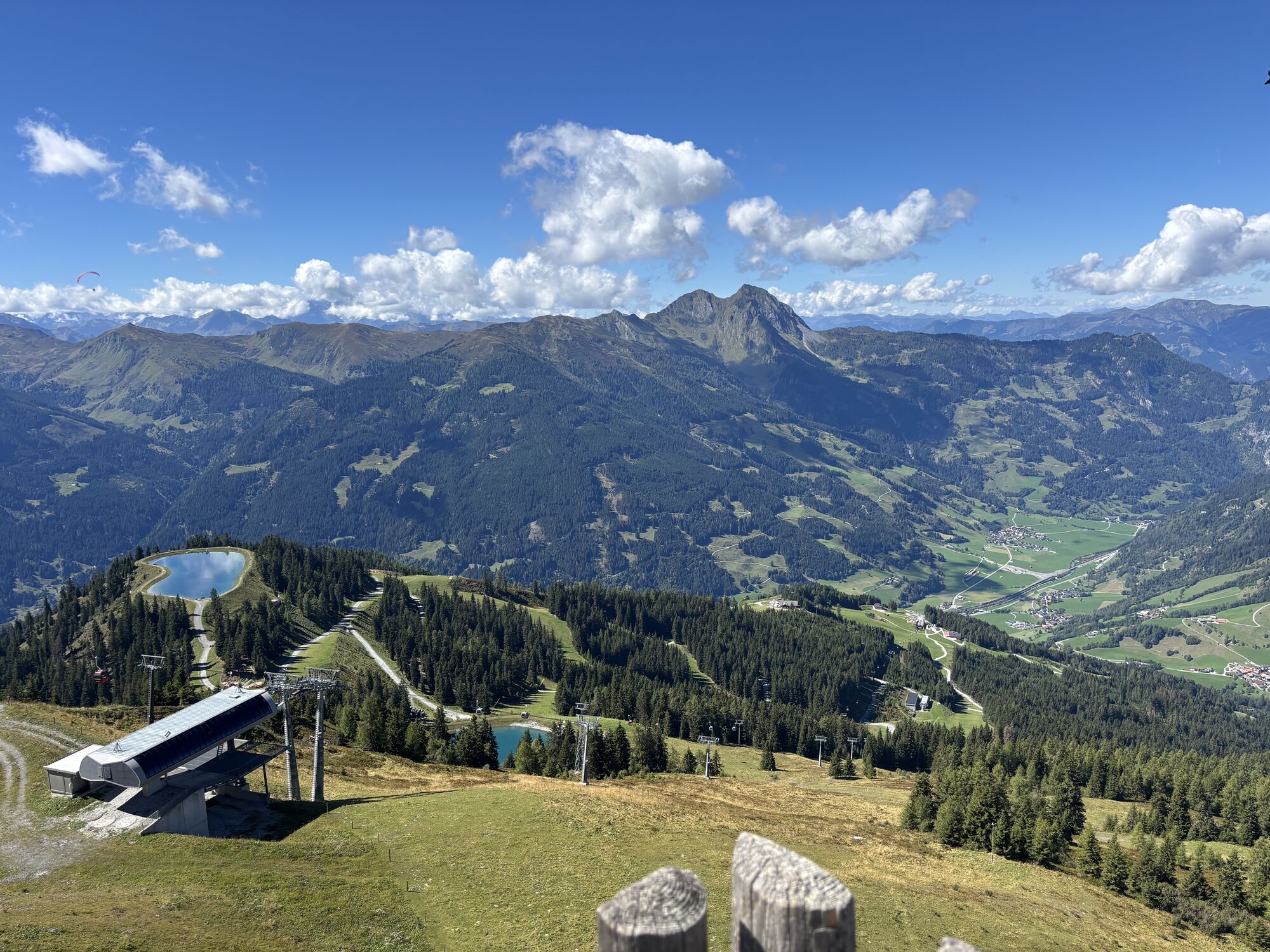
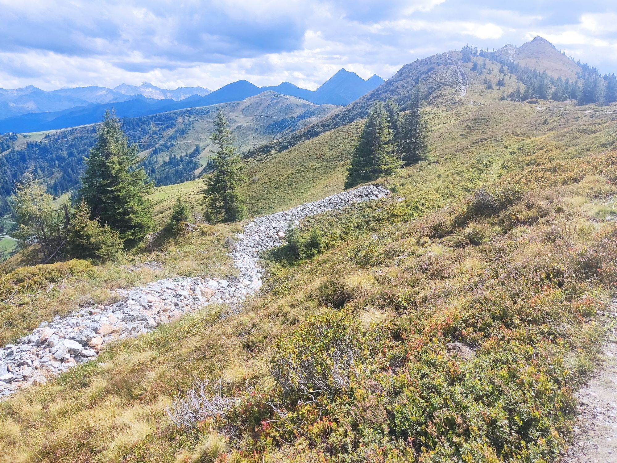
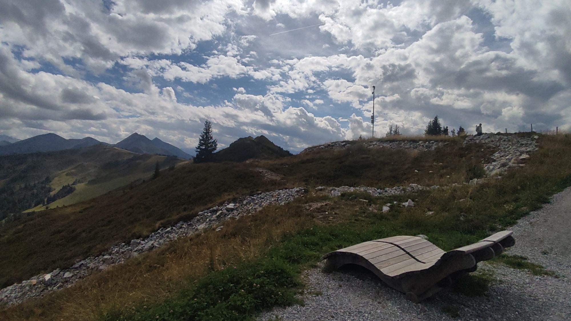
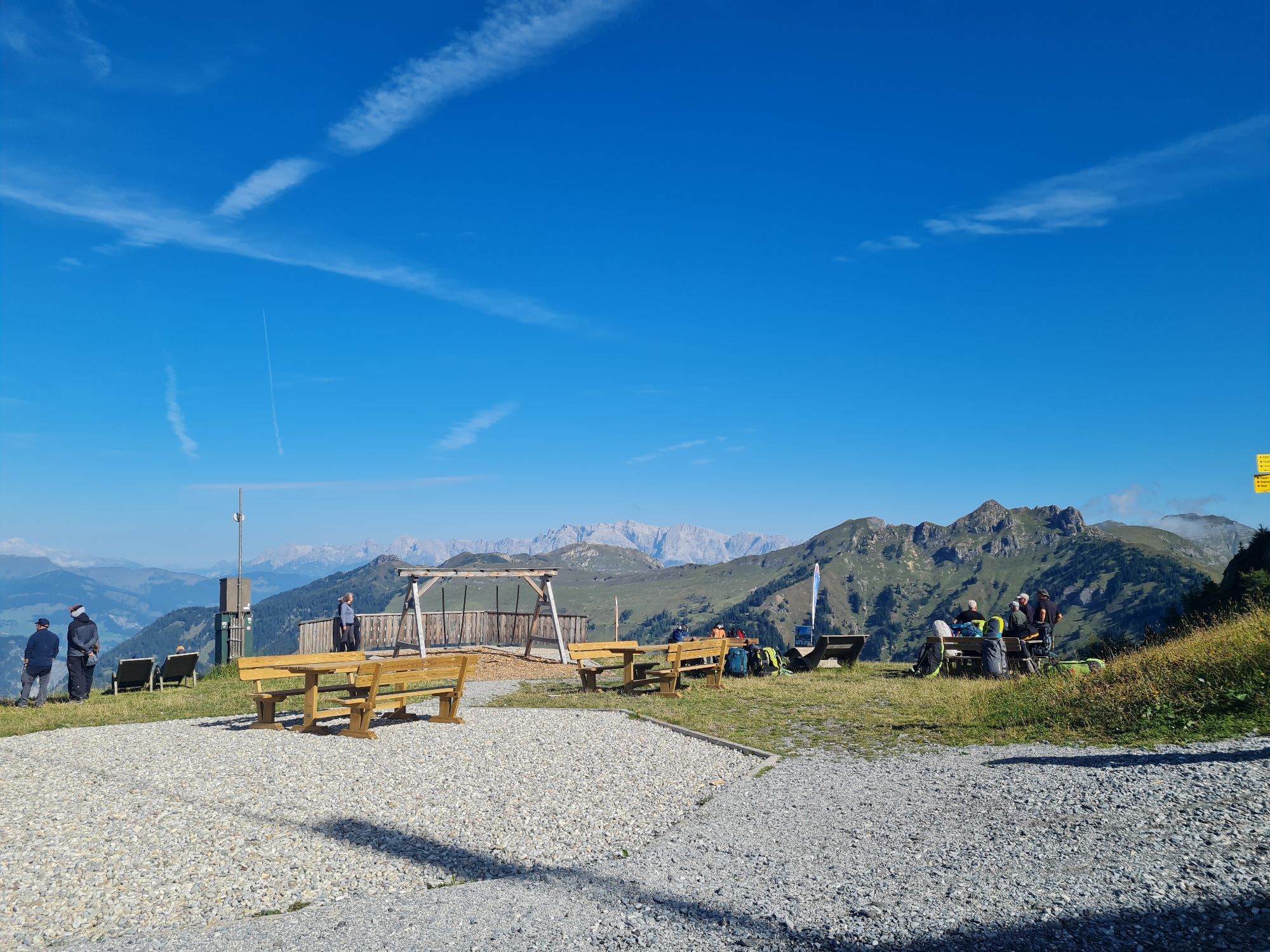
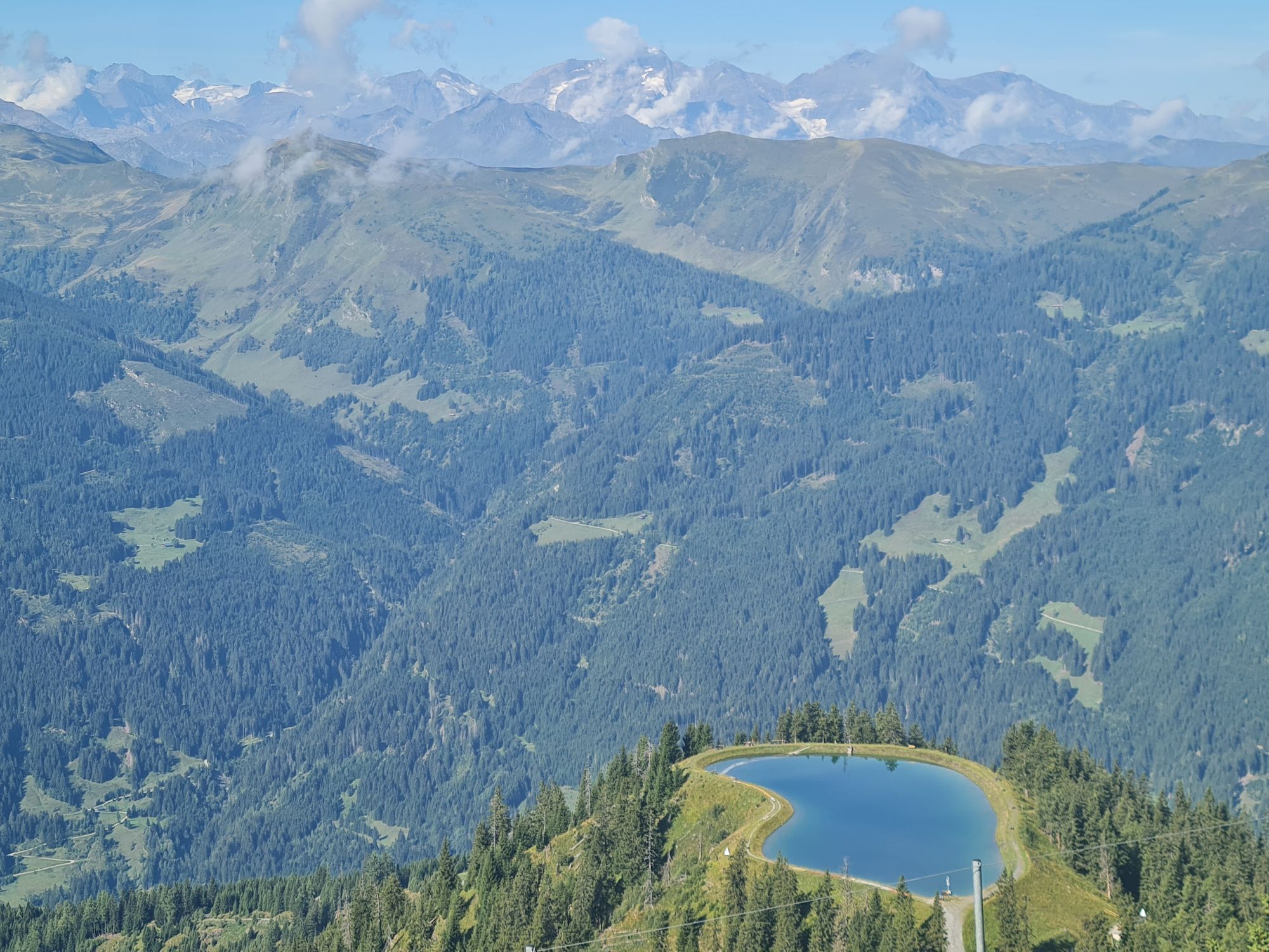
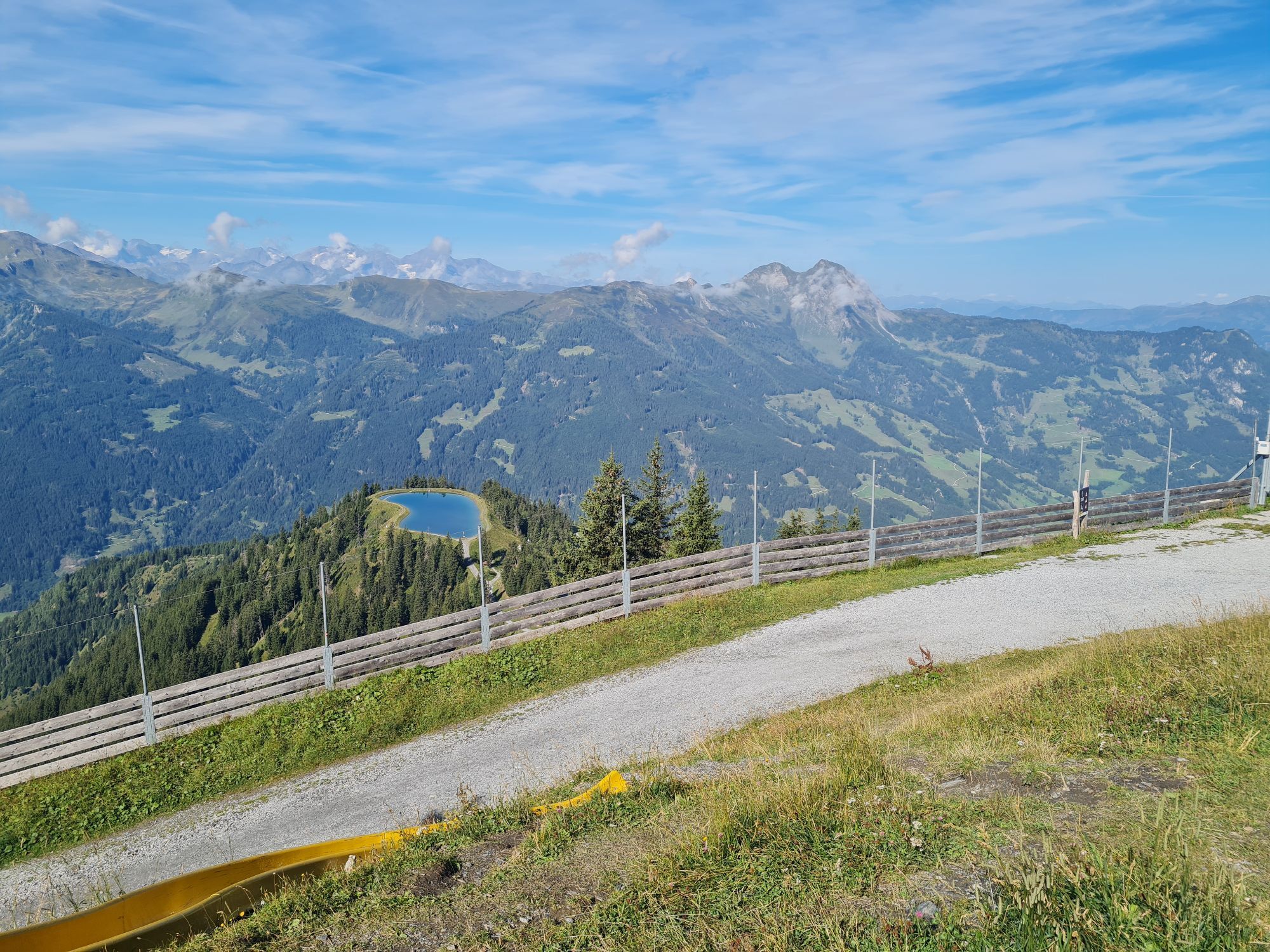
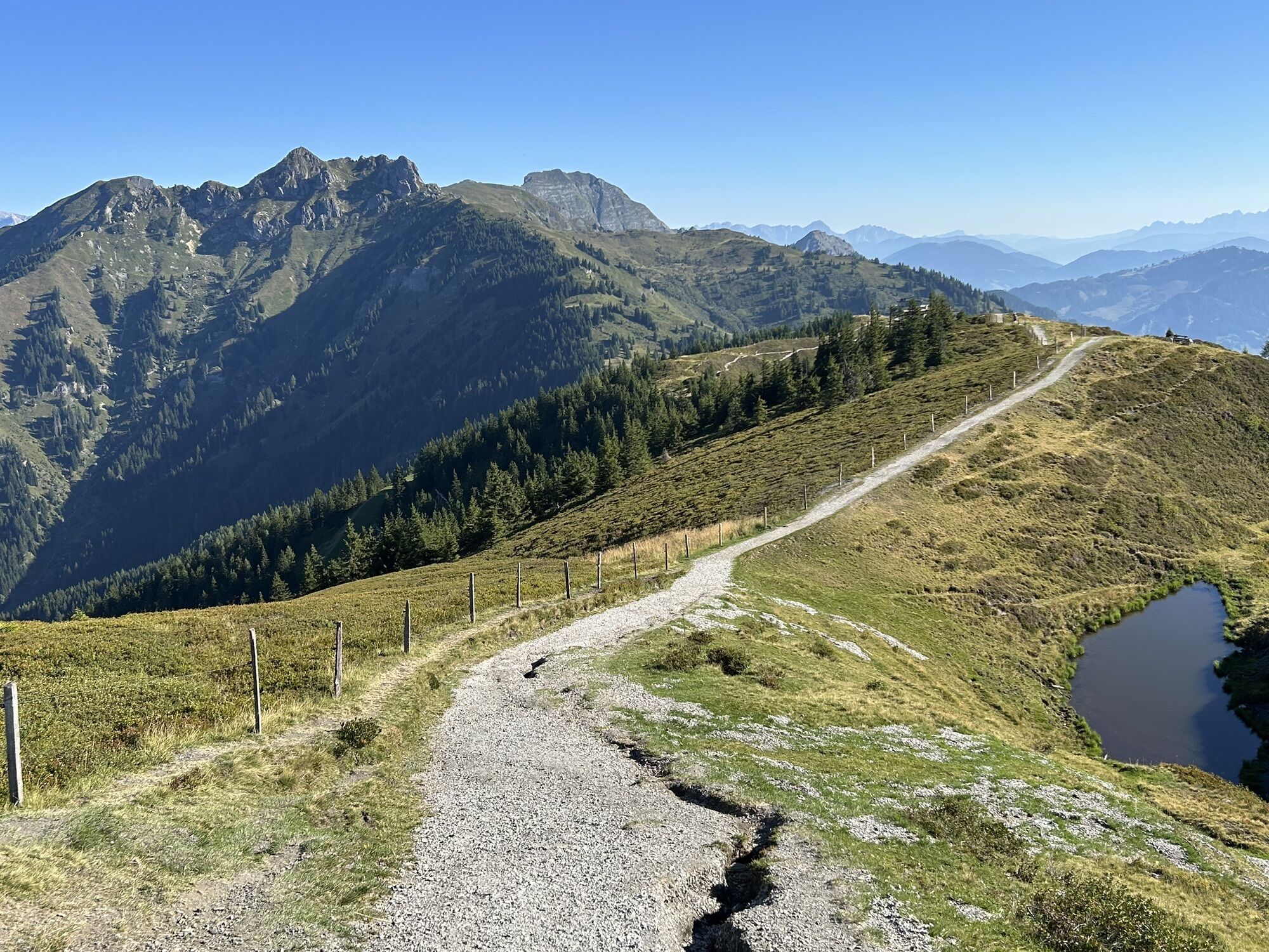

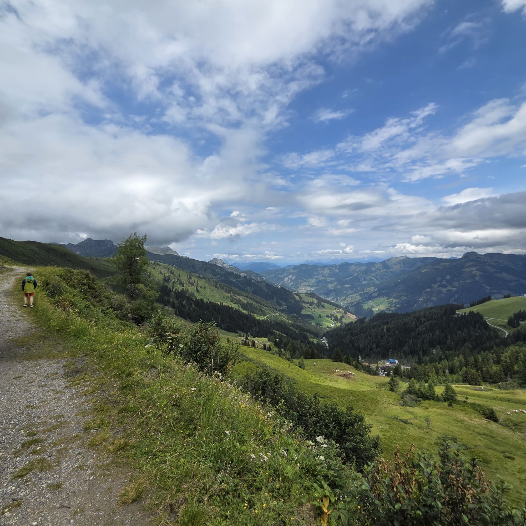


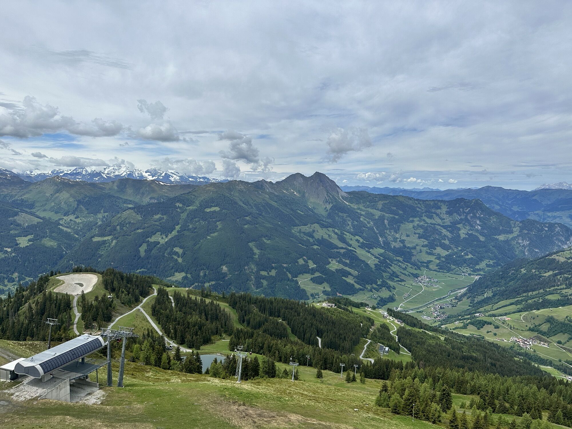
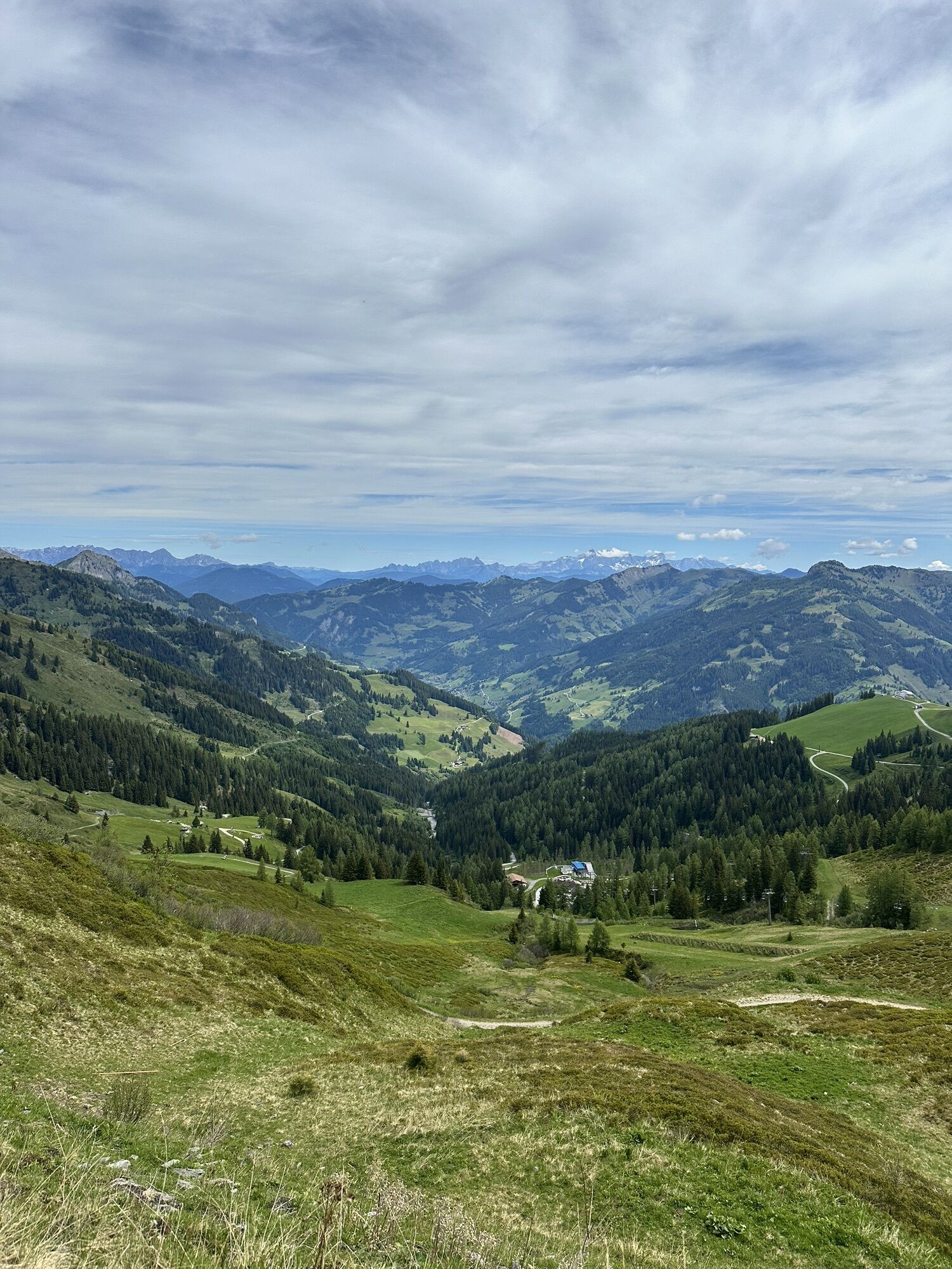
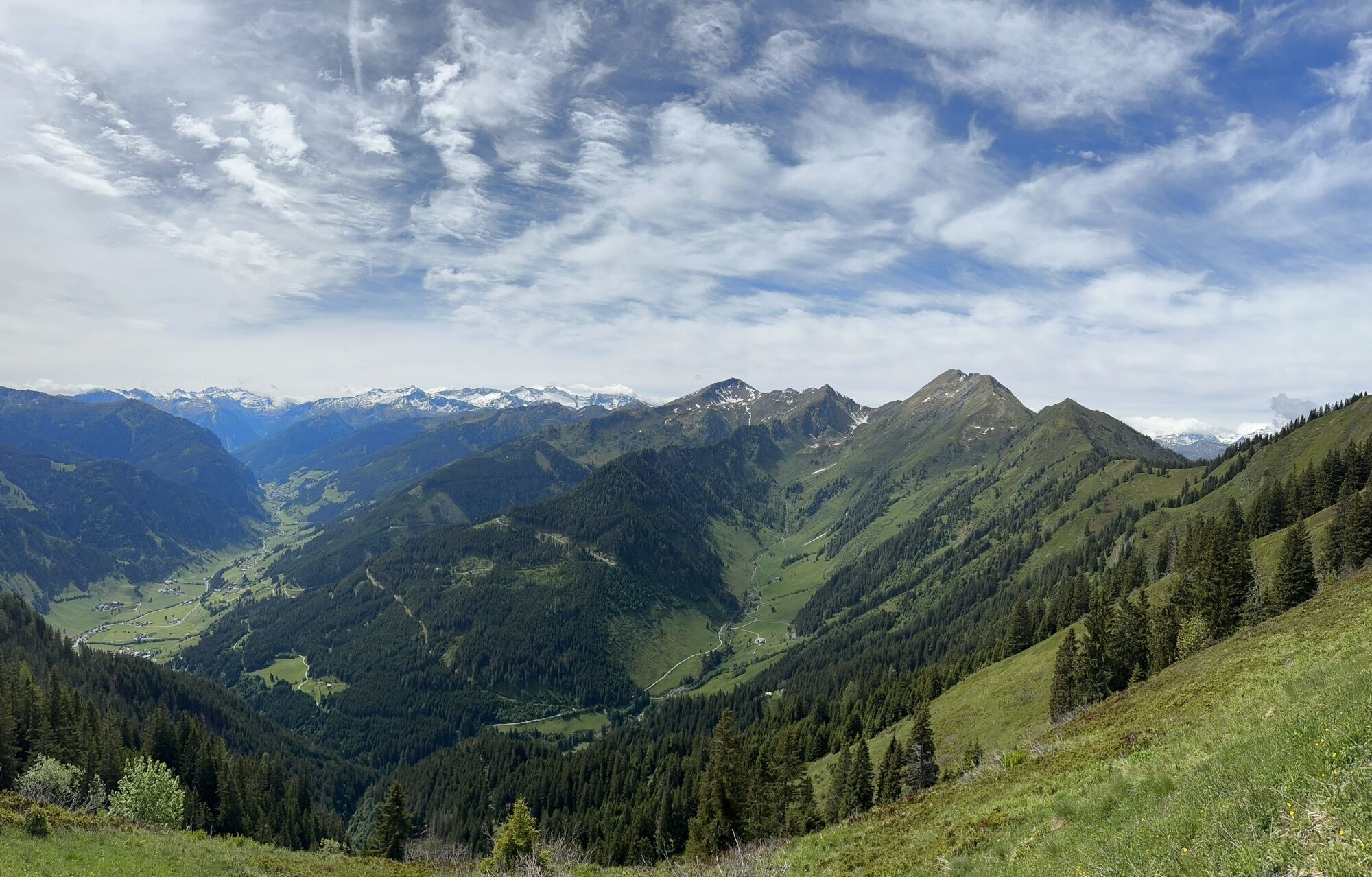
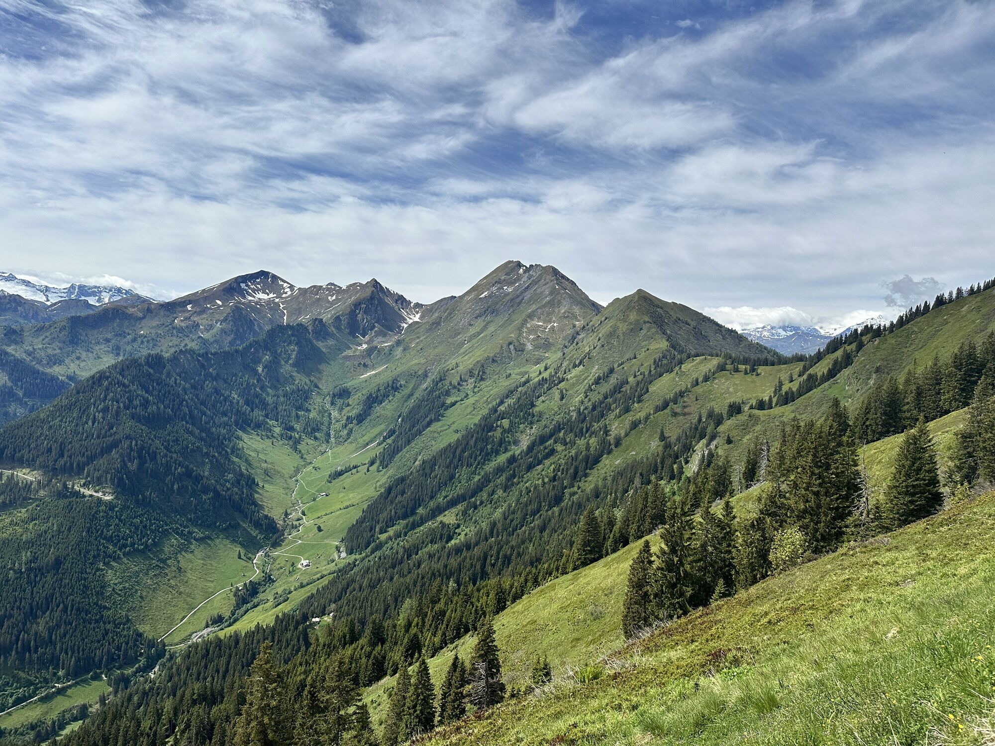
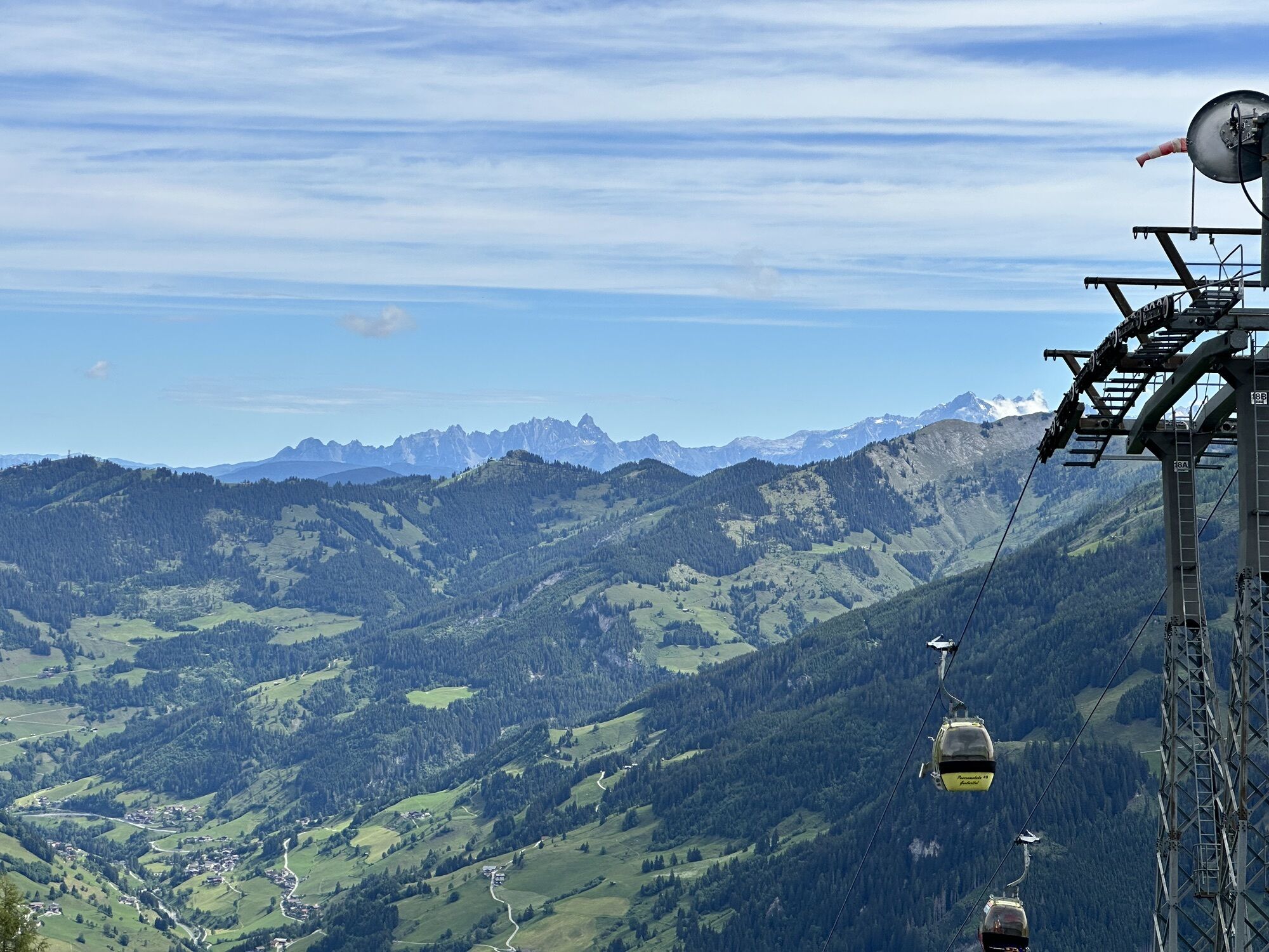
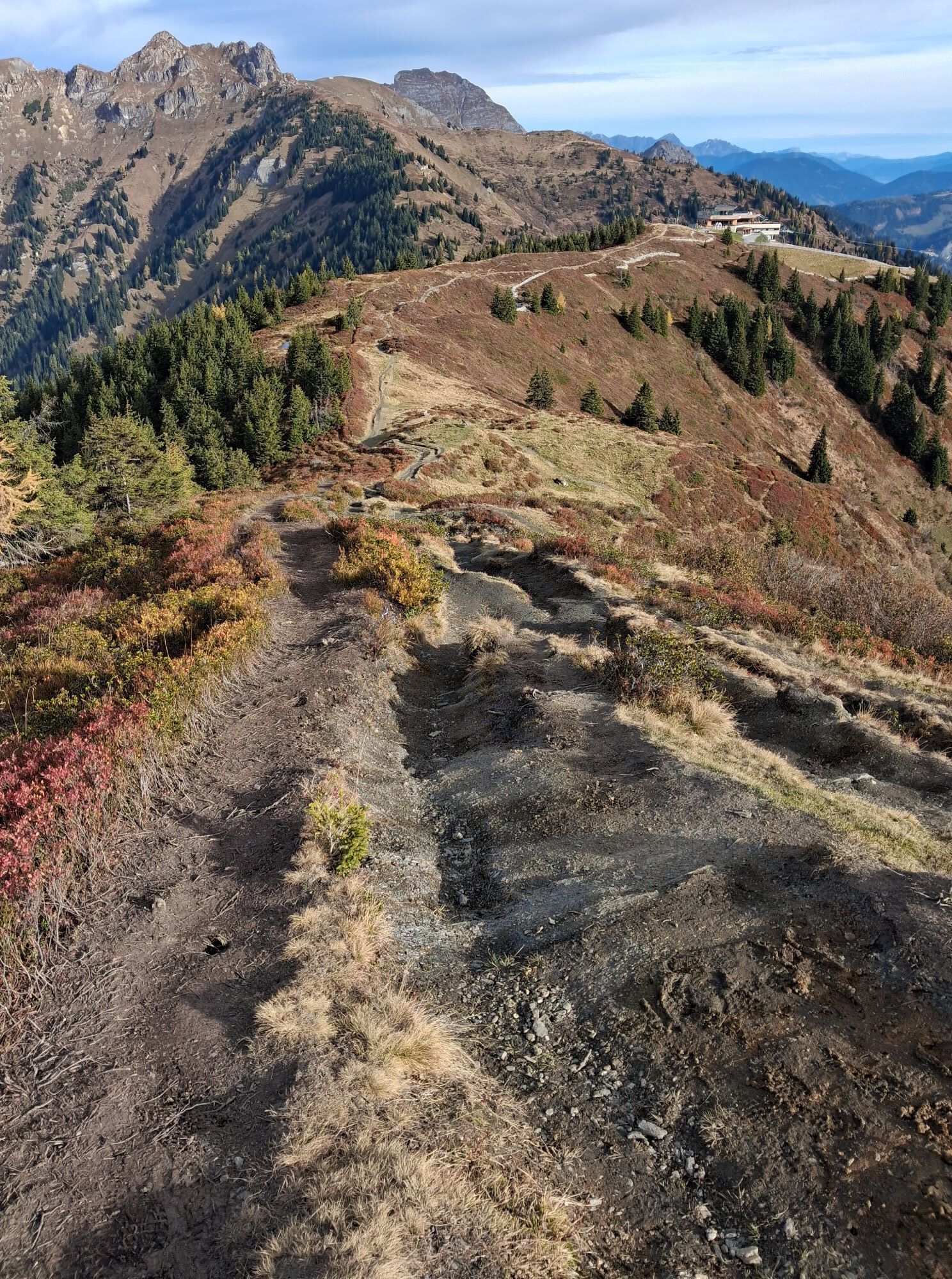
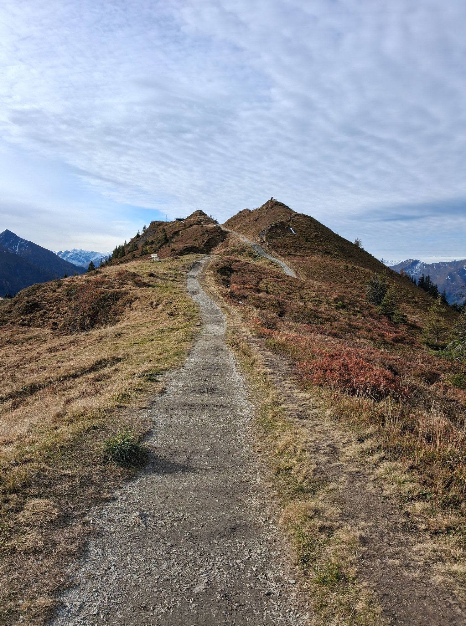
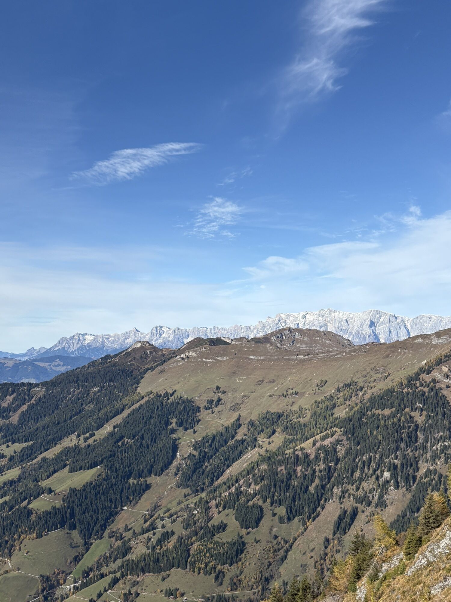
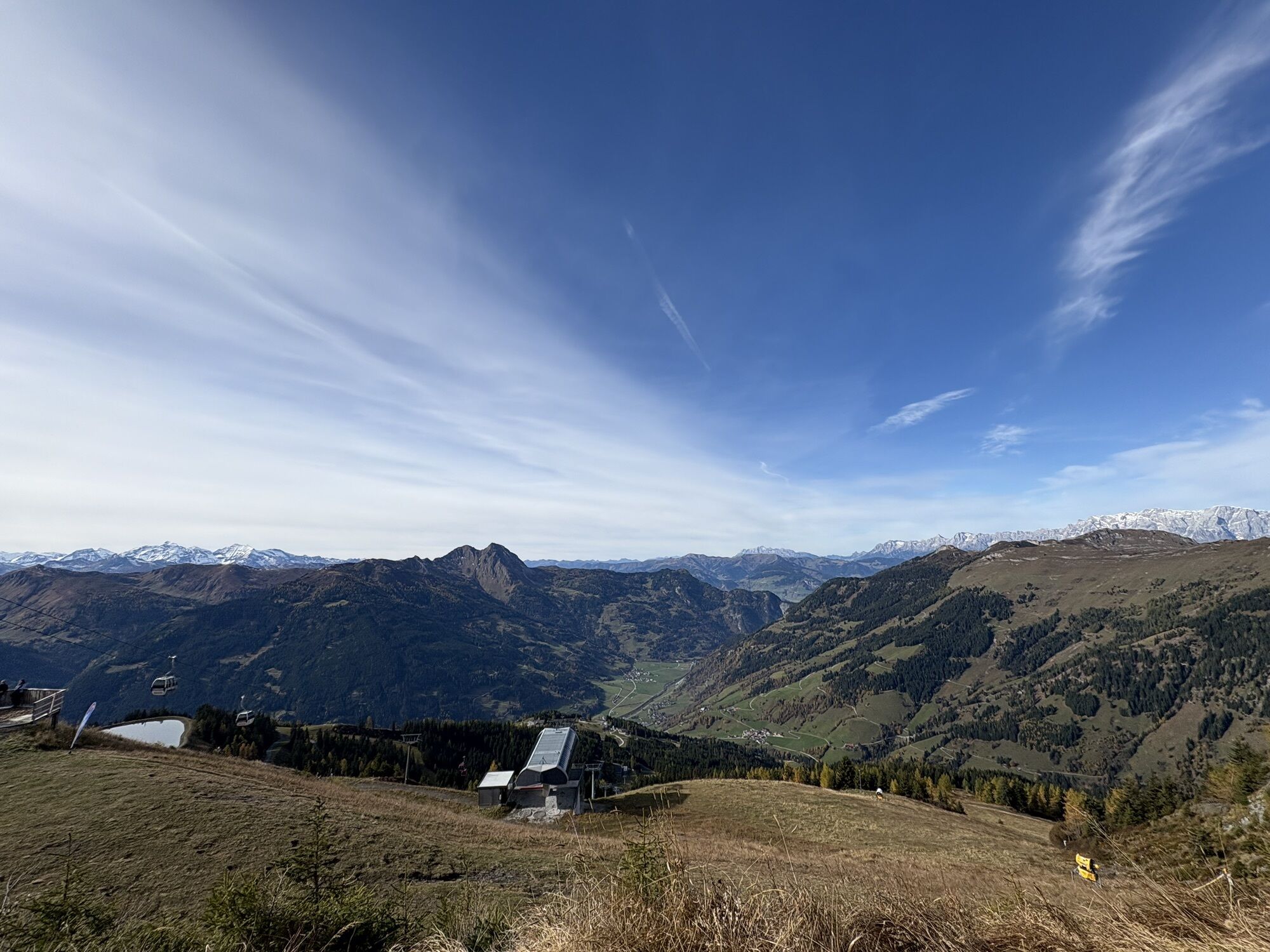
This hike is suitable for the whole family. Quite leisurely, you take the new Kieserlbahn up to the mountain station from where the hike starts. Over the mountain ridge, it goes to the Fulseck and then...
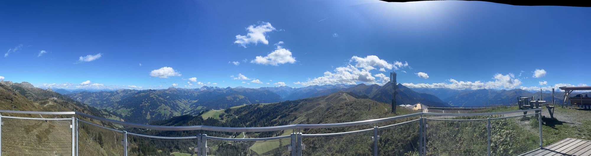
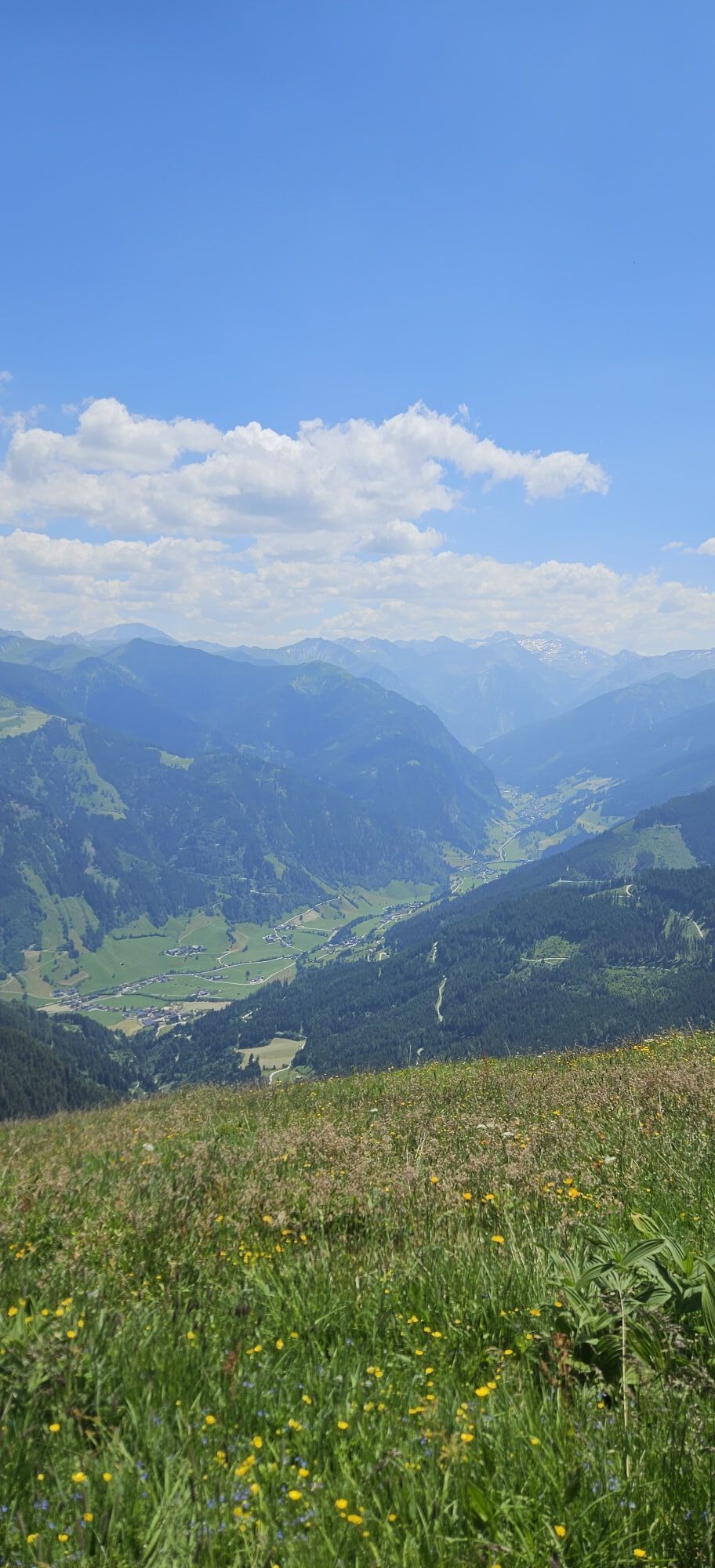
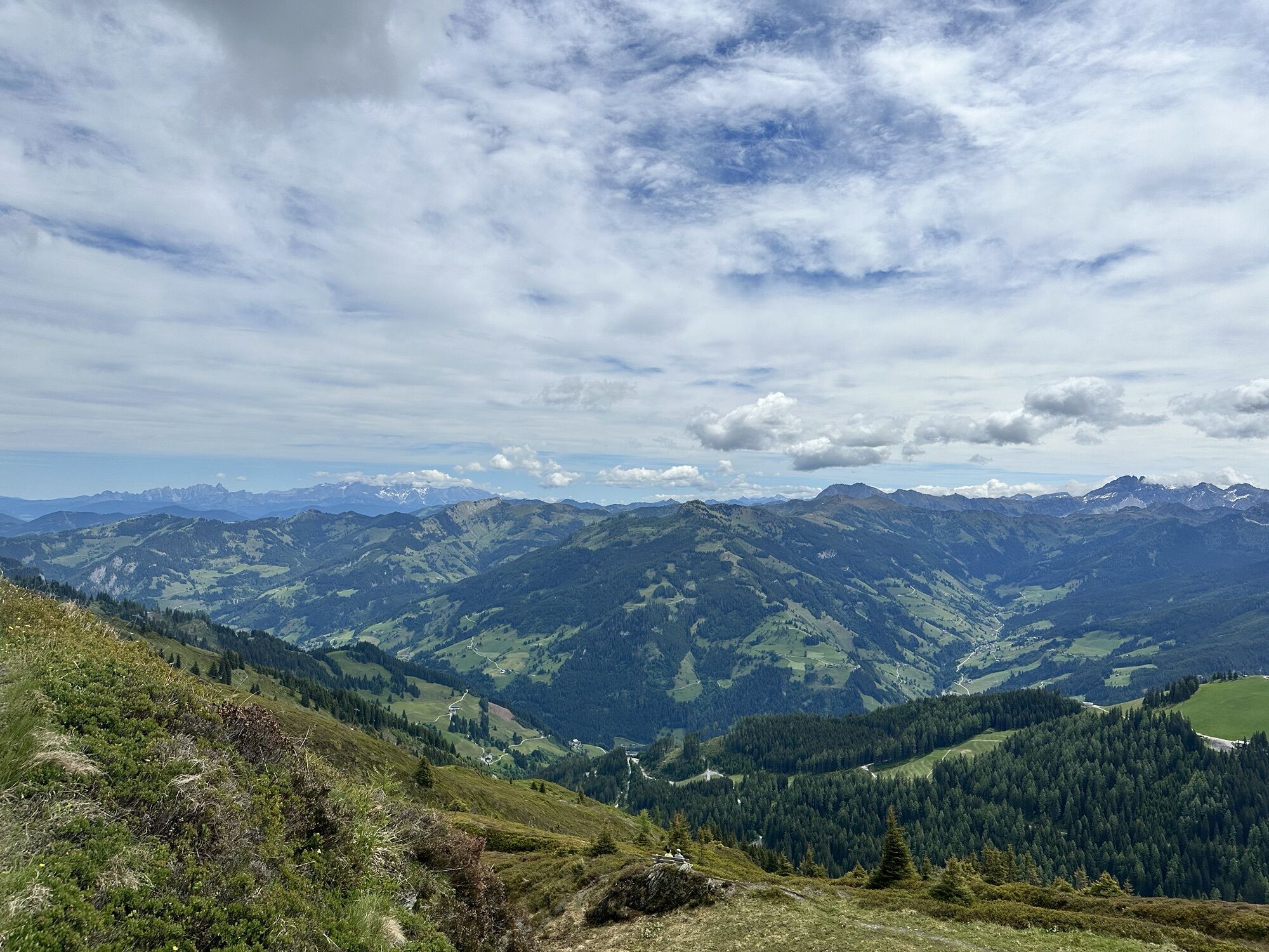
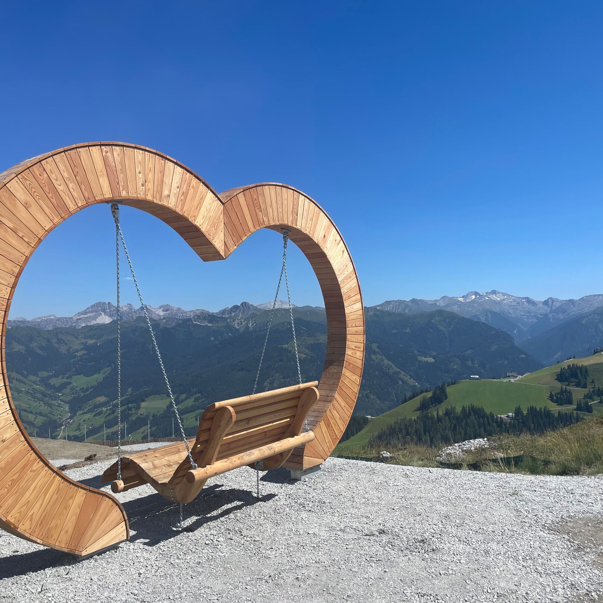
This hike is suitable for the whole family. Quite leisurely, you take the new Kieserlbahn up to the mountain station from where the hike starts. Over the mountain ridge, it goes to the Fulseck and then over the Kreuzkogel. The hike leads towards the Panoramabahn mountain station, where you then continue to the adventure lake Himmelreich. The return to the valley is then by the Panoramabahn. This route offers you spectacular panoramic views, various viewing platforms, natural spots, marble runs, and swings for both young and old.
Along the way, you can stop at these mountain restaurants: Wolke 7, Hauserbauer's Gipflstadl, Schialm Kreuzkogel & Laireiteralm.


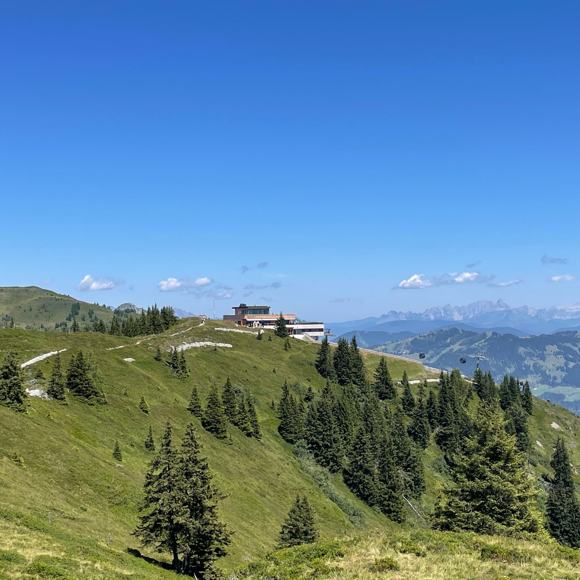
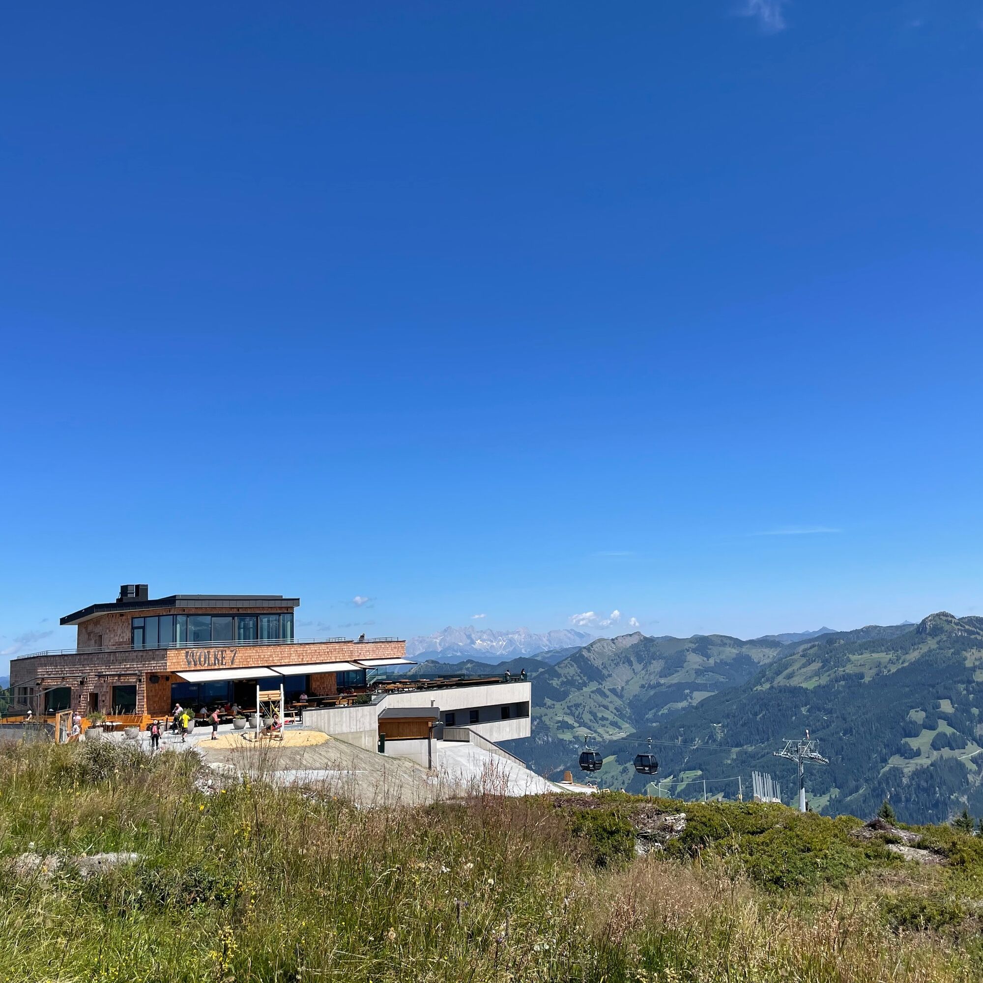
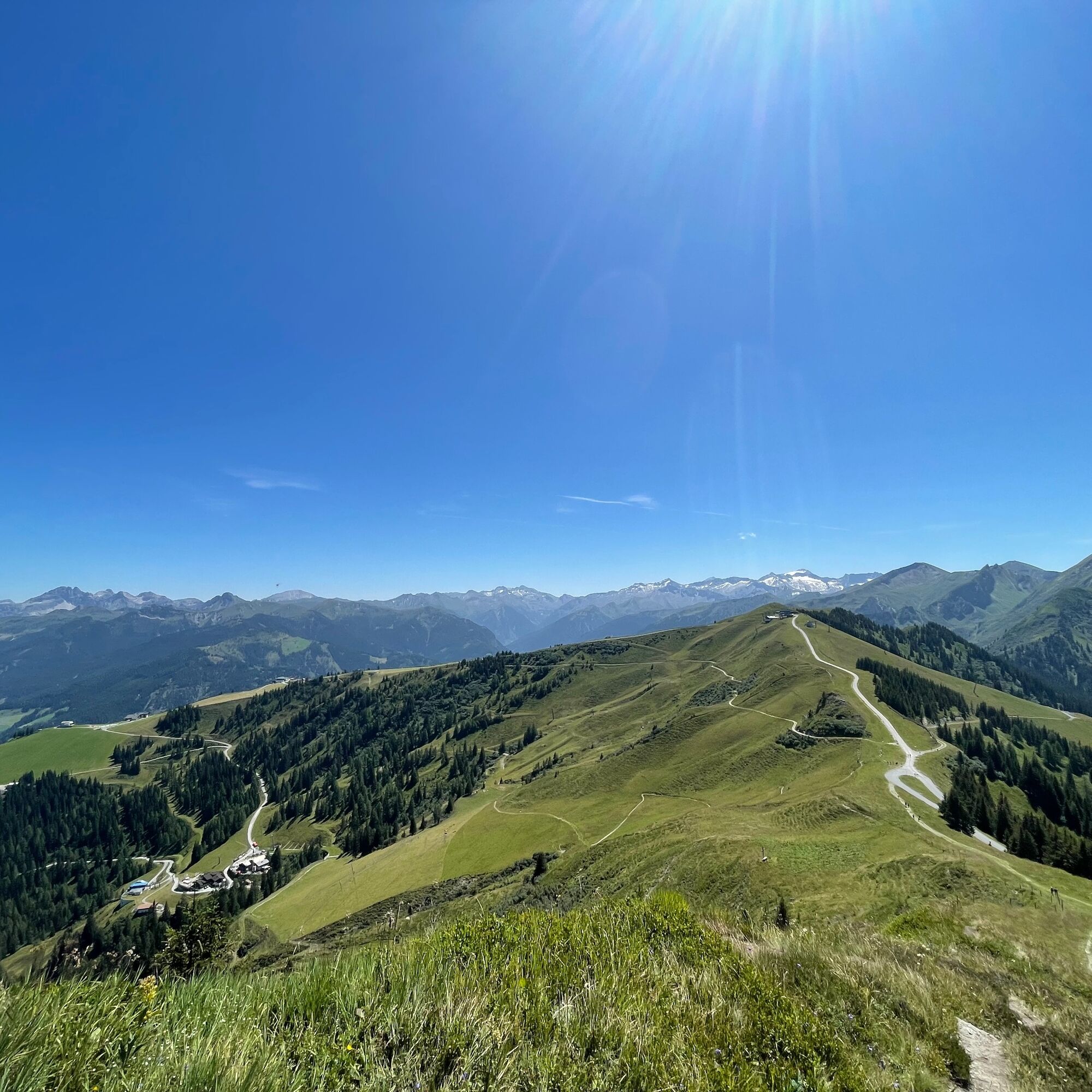
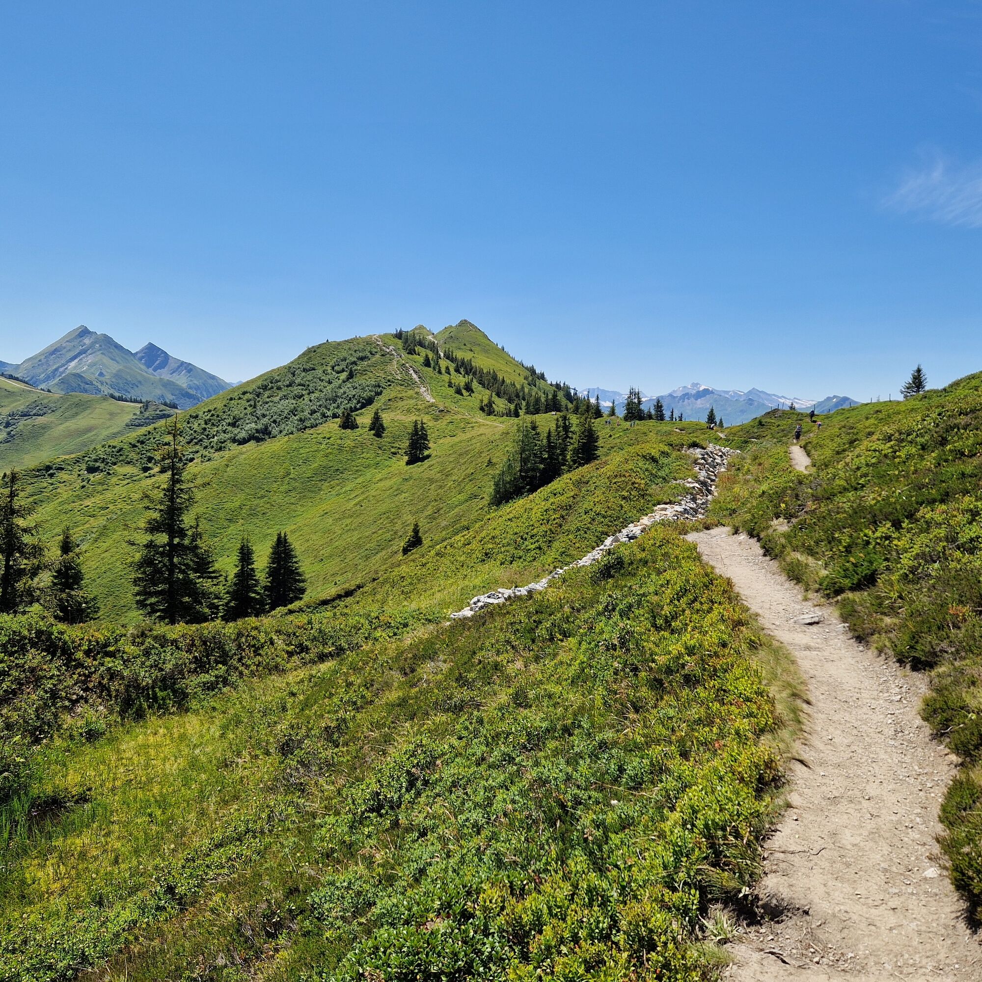
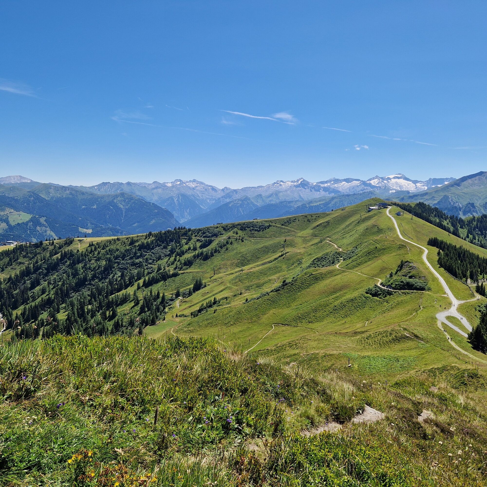
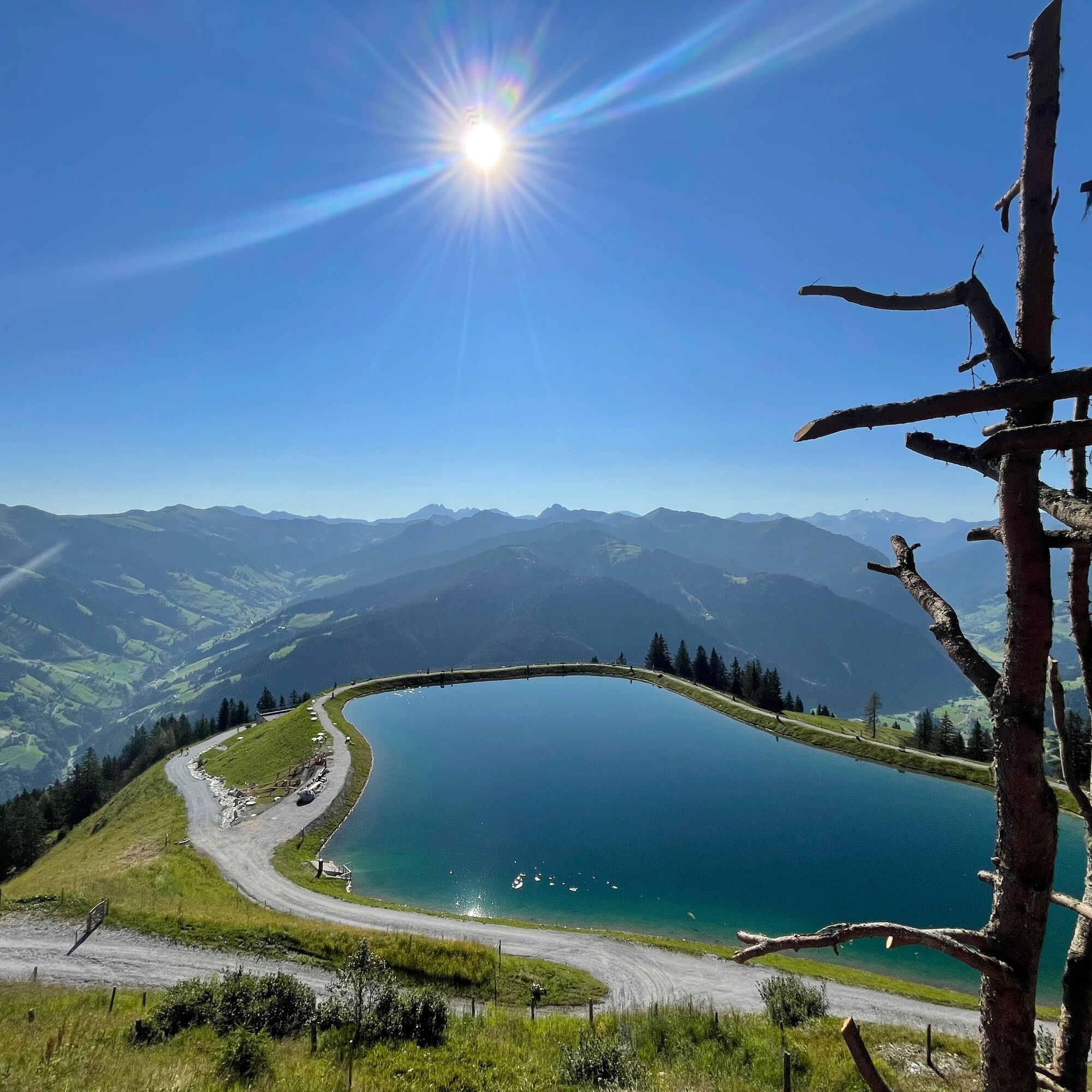
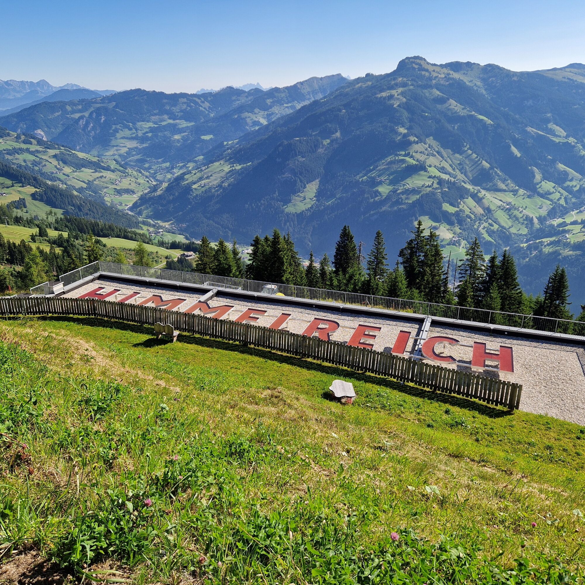

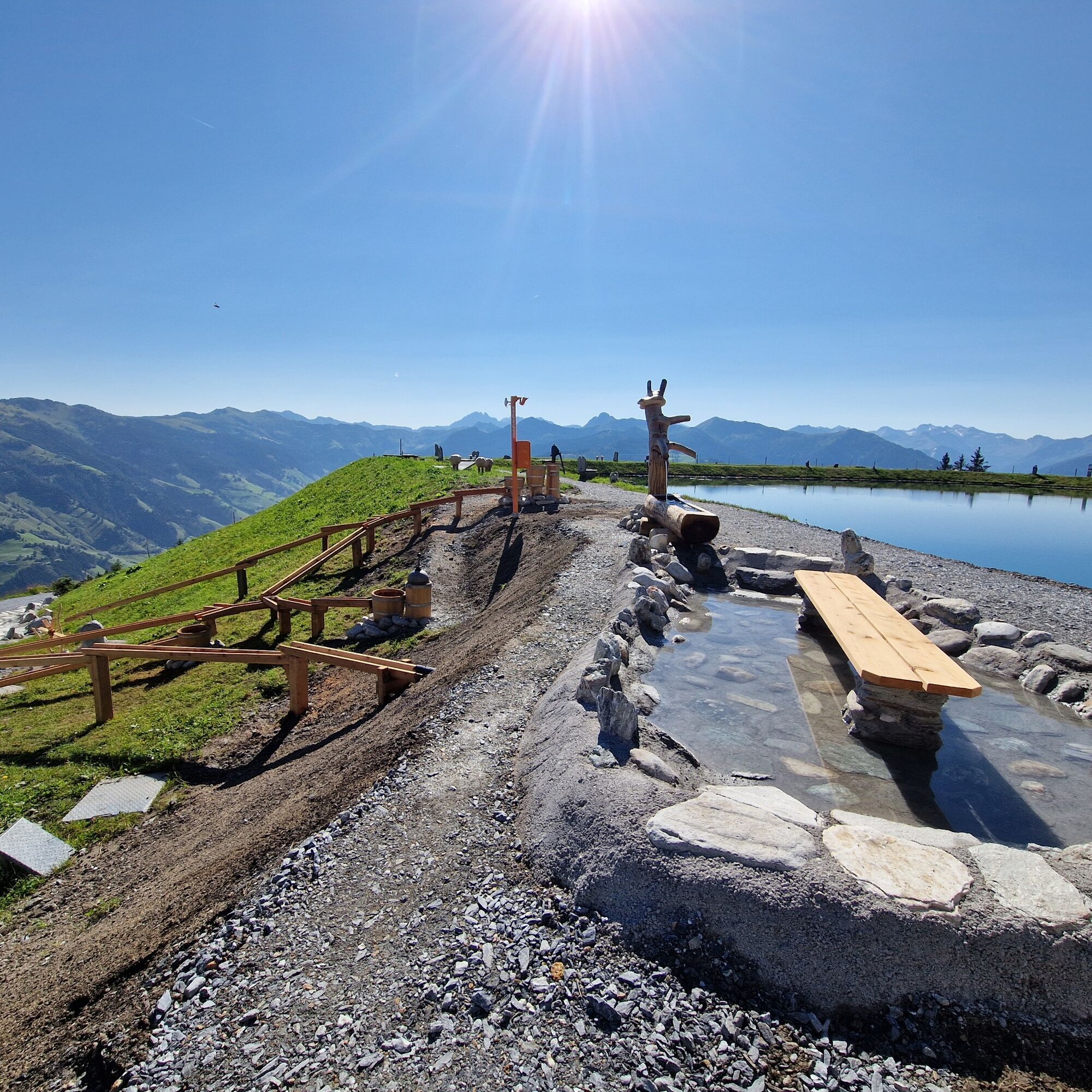

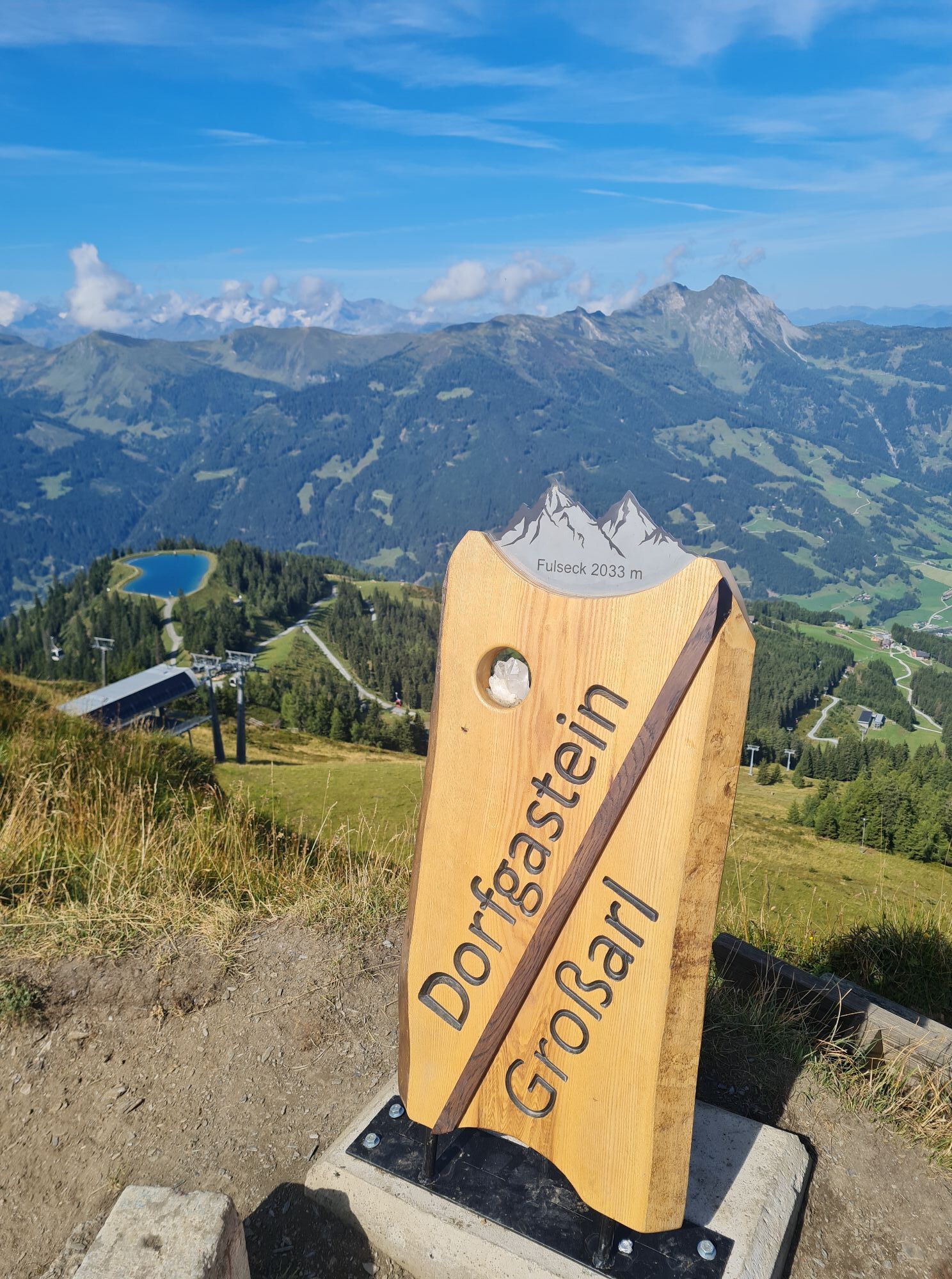
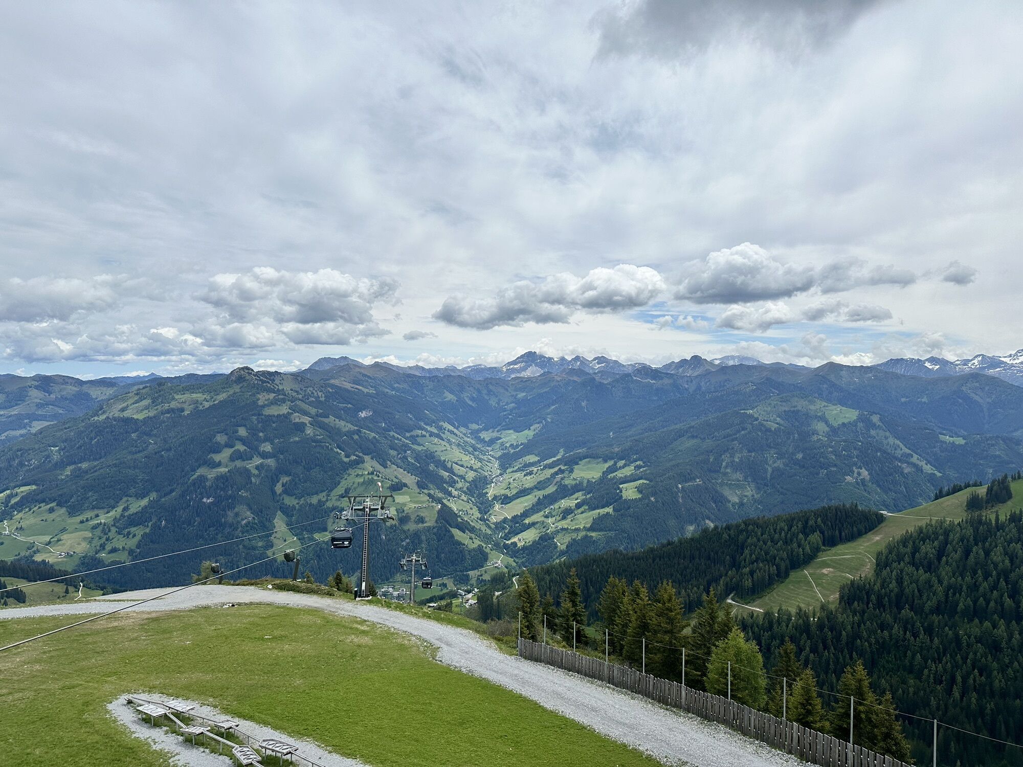
Ascent with the Kieserlbahn to the mountain station, 1,954 m. Quite leisurely, the path No. 36 gently ascends to the Fulseck, 2,035 m (approx. 1/2 h). From there, it continues to the Kreuzkogel, 2,027 m (approx. 1/2 h). From there, it still goes downhill on path No. 36 towards the Panoramabahn mountain station, 1,850 m (approx. 1/2 h). The hike then leads you in about 15 minutes to the adventure lake Himmelreich, before returning to the valley with the Panoramabahn.
Ano
Ano
Ano
Hiking shoes with profiled sole, hiking map
Drive by car or take the Postbus line No. 540 from St. Johann im Pongau/Hüttschlag to Großarl (bus stop Sports Center).
Mountain railways parking lot
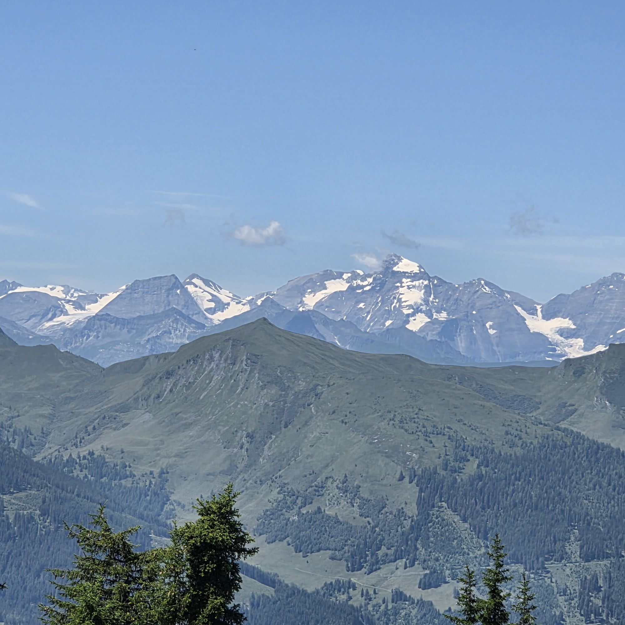
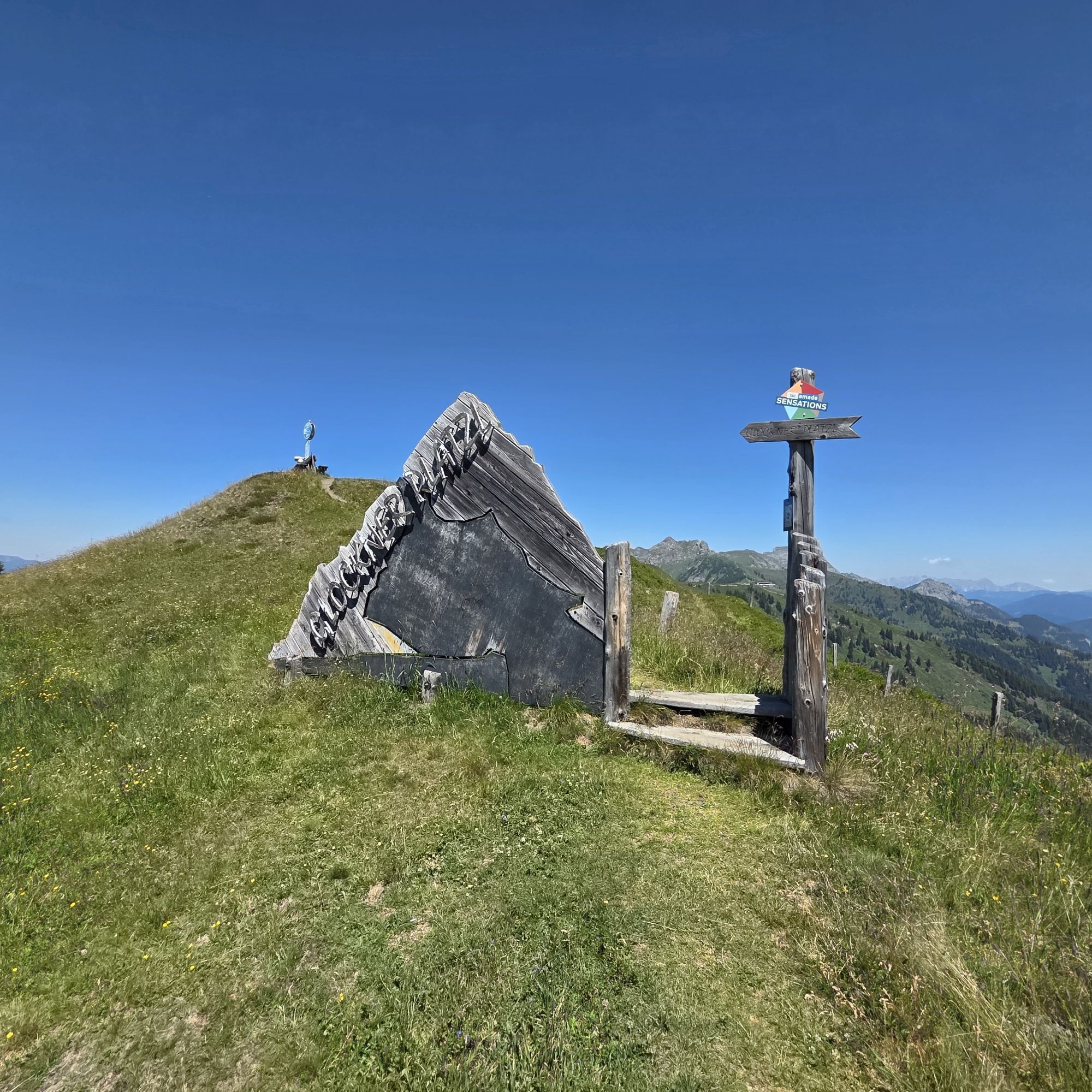
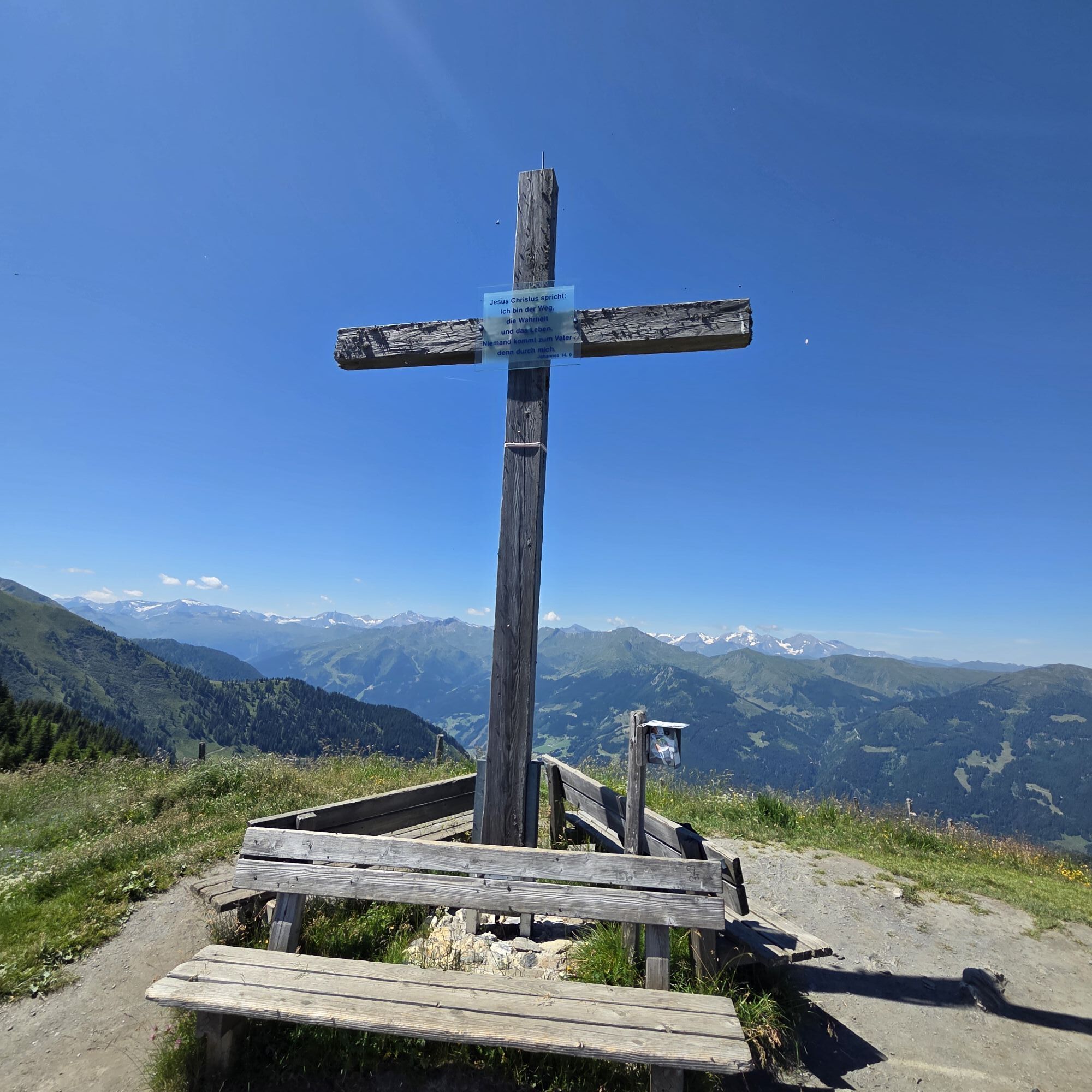
Along the path, there is a viewing platform at Fulseck and at Lake Himmelreich. There you can really enjoy the breathtaking view.



Aktivity na trase

Kieserl, Salzburg/Österreich
03.10.2026 – Turistika
Kieserl, Salzburg/Österreich
26.08.2026 – Turistika
Kieserl, Salzburg/Österreich
20.08.2026 – TuristikaGroßarl, Salzburg/Austria
08.08.2026 – TuristikaFulseck, Salzburg/Österreich
04.08.2026 – TuristikaGroßarl, Himmelsroute Kieserl - Kreuzkogel
28.06.2026 – Turistika
Kreuzkogel, Salzburg/Österreich
29.05.2026 – Vysokohorská turistikaGroßarl, Salzburg/Österreich
29.05.2026 – TuristikaKieserl, Salzburg/Österreich
09.09.2025 – Turistika
Oblíbené prohlídky v okolí
- 5,0
Hüttschlag: Karteistörl - Tappenkarsee - Draugsteintörl - Draugsteinalmen
středníTuristika 13,5 km - 5,0
Großarl: Aualm - Liechtensteinkopf - Aukopf - Schuhflicker - Schuhflickersee
středníTuristika 5,84 km - 4,9
Großarl: Heukareck
středníTuristika 12,5 km - 4,2
Tappenkarsee Kleinarl
středníTuristika 9,11 km - 4,7
Großarl: Mooslehenalm – Niggeltalalm – Viehhausalm
středníTuristika 5,44 km - 5,0
Großarl: Mooslehenalm - Höllwand - Heukareck - Niggeltalalm
heavyTuristika 13,2 km - 4,8
Großarl: Saukaralm - Saukarkopf - Gerstreitalm
středníTuristika 9,39 km - 4,5
Gastein high path from Bad Gastein to Bad Hofgastein
světloTuristika 8,58 km - 4,8
Grossarl: Gründegg
středníTuristika 9,58 km - 4,8
Großarl: Bichlalm
středníMountainbike 18,9 km

Pěší turistika a stopování


Nenechte si ujít nabídky a inspiraci pro vaši příští dovolenou
Vaše e-mailová adresa byl přidán do poštovního seznamu.


