







Hollersbach: Deutingerwald trail no. 12
Úroveň obtížnosti: T1
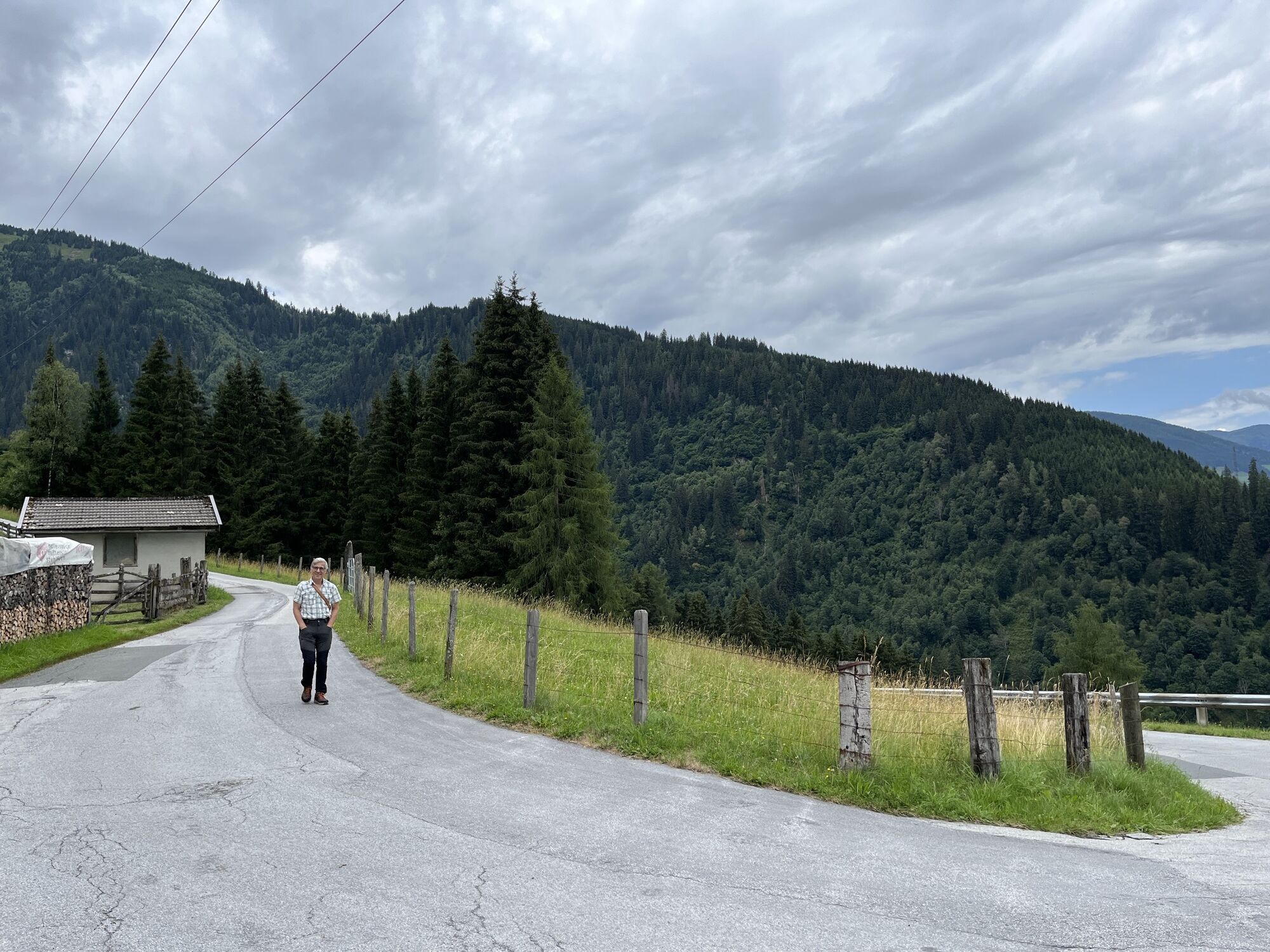
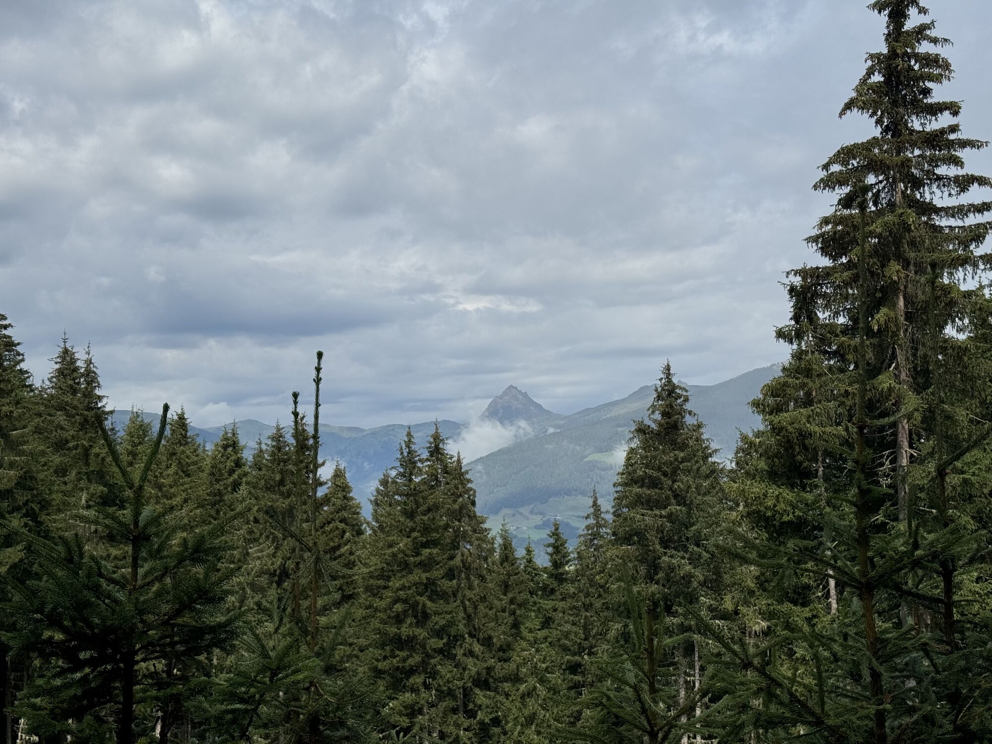
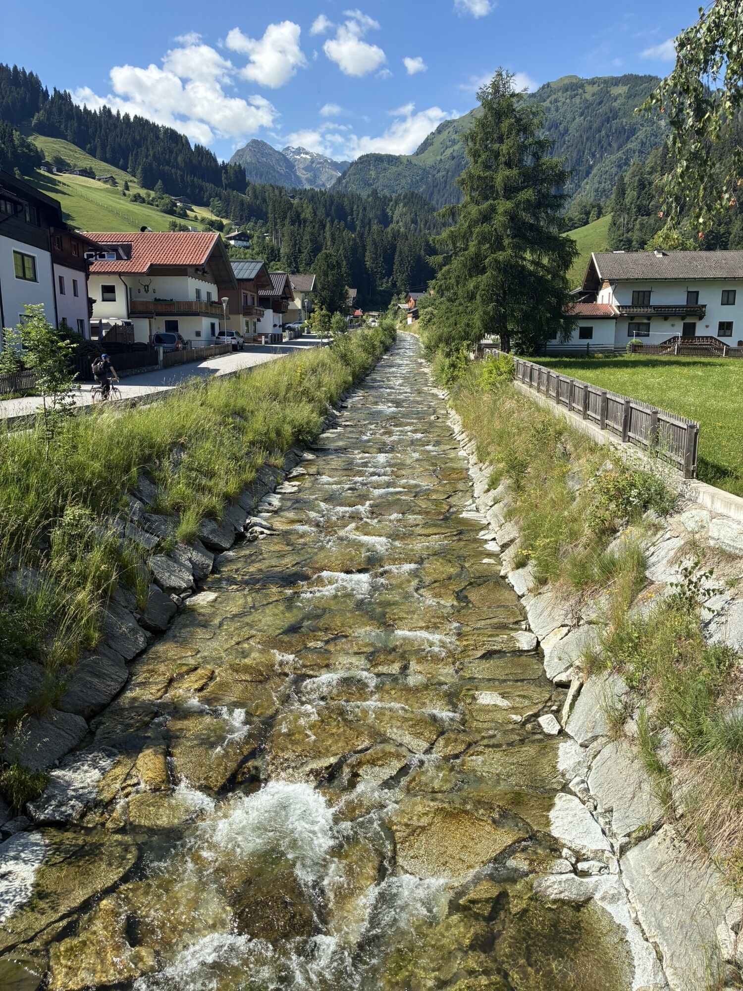
Directly in the Klausnerhaus, the starting point of the route, there is a great interactive exhibition. Here, the elderberry plant thriving in the Hohe Tauern National Park is presented in its special...
Directly in the Klausnerhaus, the starting point of the route, there is a great interactive exhibition. Here, the elderberry plant thriving in the Hohe Tauern National Park is presented in its special features. The "Hollerhexei" guides visitors through the exhibition and not only provides the information on display panels but also tells nice stories. In the outdoor area, various plants are cultivated and explained in detail in the herb garden.

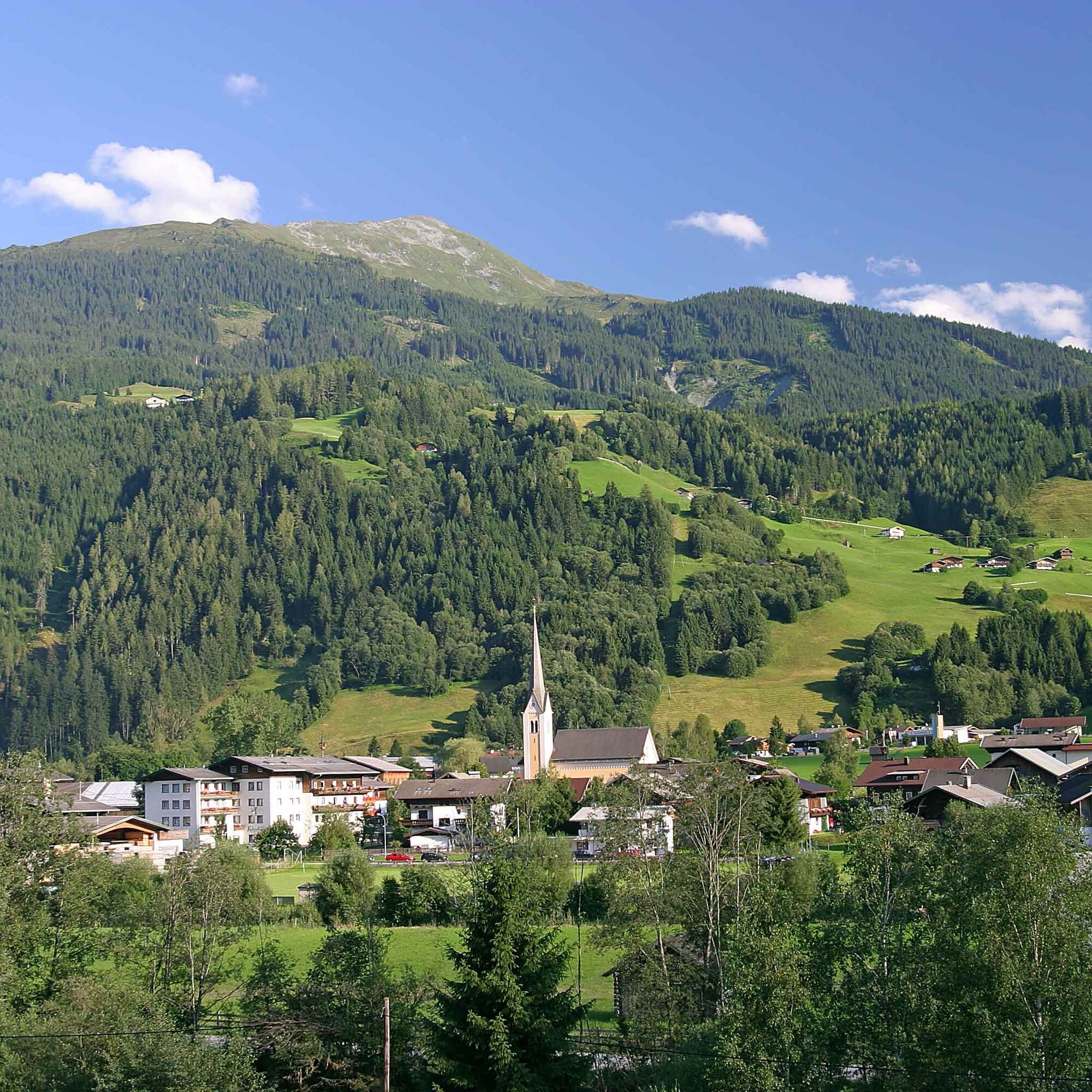
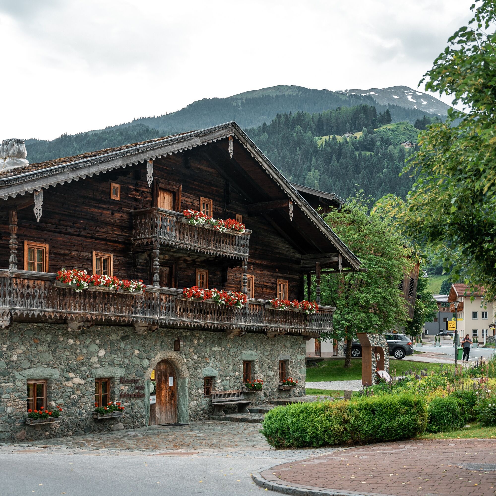
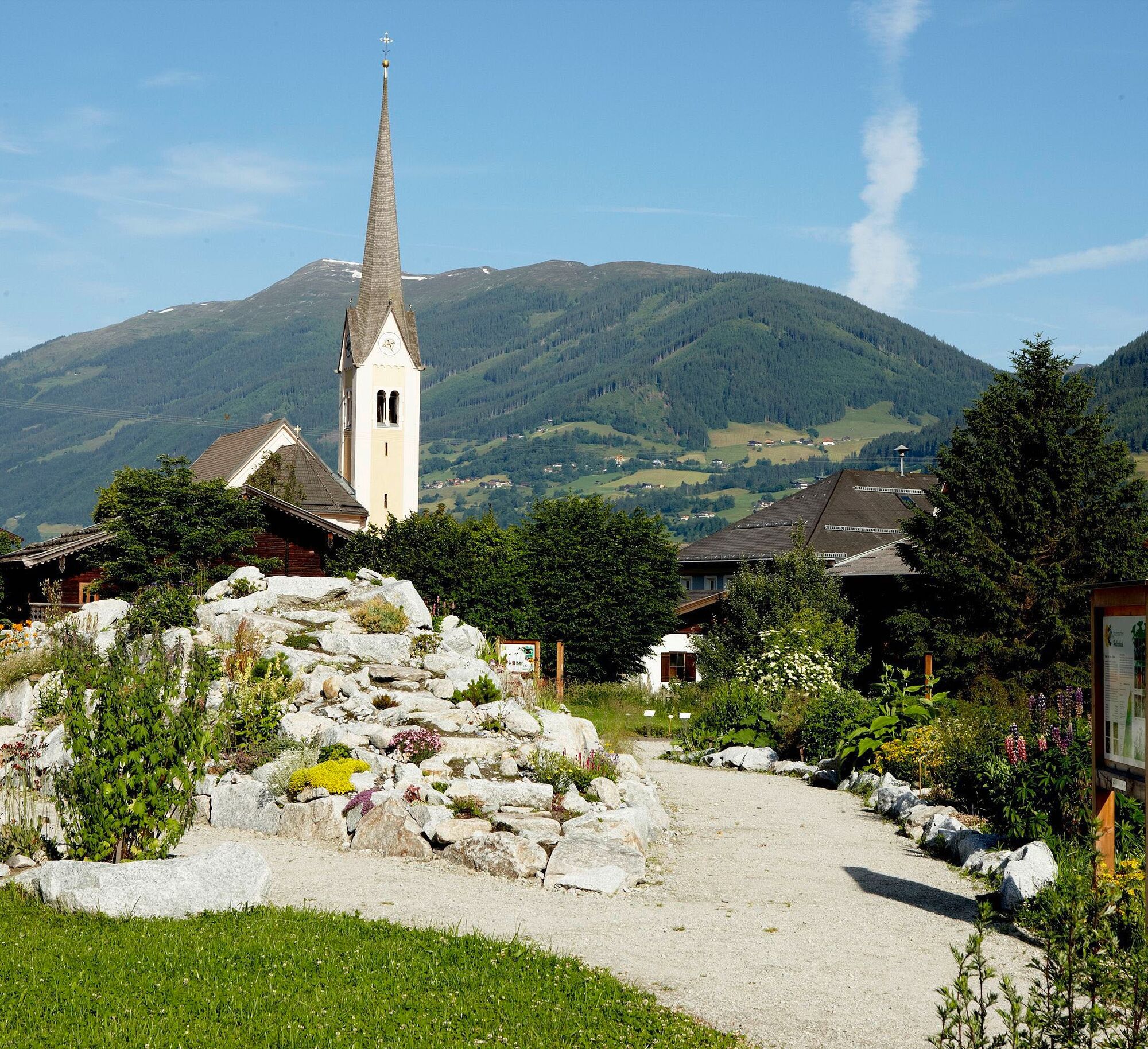
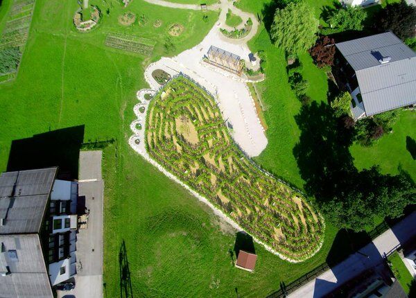

Hike from the Klausnerhaus toward the shady side - passing the municipality always following the federal road - cross the bridge - still following the road - then turn right to Installation Wieser - and straight along the road - then turn left - through the pasture gate - and follow Forsstraße uphill - then hike with trail number 12 towards Vorderer Lachwald on the Deutingerwald trail - after some time cross another forest path with number 56 - turn right - towards Berghof - upon arrival at Berghof, hike downhill on the asphalt road - back to the town center
Ano
Ankle-high mountain boots, sufficient drinking water required.
A basic surefootedness is required.
Drive to the town center of Hollersbach. Directly in the center is the Klausnerhaus, the starting point of this route.
The Mittersill-Hollersbach-Stuhlfelden region is very well accessible by the Pinzgau local railway and ÖBB buses.
There is ample parking available in the Hollersbach town center and at the bathing lake!
T1
Mittersill Plus GmbH, Zeller Straße 2, 5730 Mittersill, Tel. +43(0) 6562 4292
welcome@mittersill.info, www.mittersill.info
Stopover at Sahnealm
Webové kamery z prohlídky
Získejte přehled
Vždy živě na místě s více než 9 500 webkamerami. bergfex Jako uživatel Pro si nyní můžete zobrazit odpovídající webové kamery pro mnoho prohlídek v aplikaci prohlídky z. Můžete si tak přímo prohlédnout aktuální podmínky.

Oblíbené prohlídky v okolí
-
3.7
Smaragdwanderweg Habachtal/Bramberg
světloTuristika 7.17 km -
3.9
Mittersill - Hintersee und Plattachsee
heavyTuristika 9.90 km -
4.7
Hollersbach - Neue Fürther Hütte
Turistika 16.0 km -
4.6
Panorama route 3 peaks and 2 lakes
středníTuristika 7.21 km -
4.7
Tristkogel
heavyTuristika 15.6 km -
4.7
Frühmesser
středníTuristika 10.6 km -
3.9
Hollersbach: Pihapper Wegnr. 935
heavyTuristika 12.8 km -
4.1
Habachtal bis zur Thüringer Hütte
Turistika 6.53 km -
4.9
Manlitzkogel
heavyTuristika 13.4 km -
4.1
Via the Schösswendklamm to Hintersee
středníTuristika 8.29 km
Pěší turistika a stopování


Nenechte si ujít nabídky a inspiraci pro vaši příští dovolenou
Vaše e-mailová adresa byl přidán do poštovního seznamu.





