


Saalachtaler Circular Route - 1st Hiking Day


Start valley station Huggenberg/Biberg lift
Ascent by chairlift to the Huggenbergalm (managed)
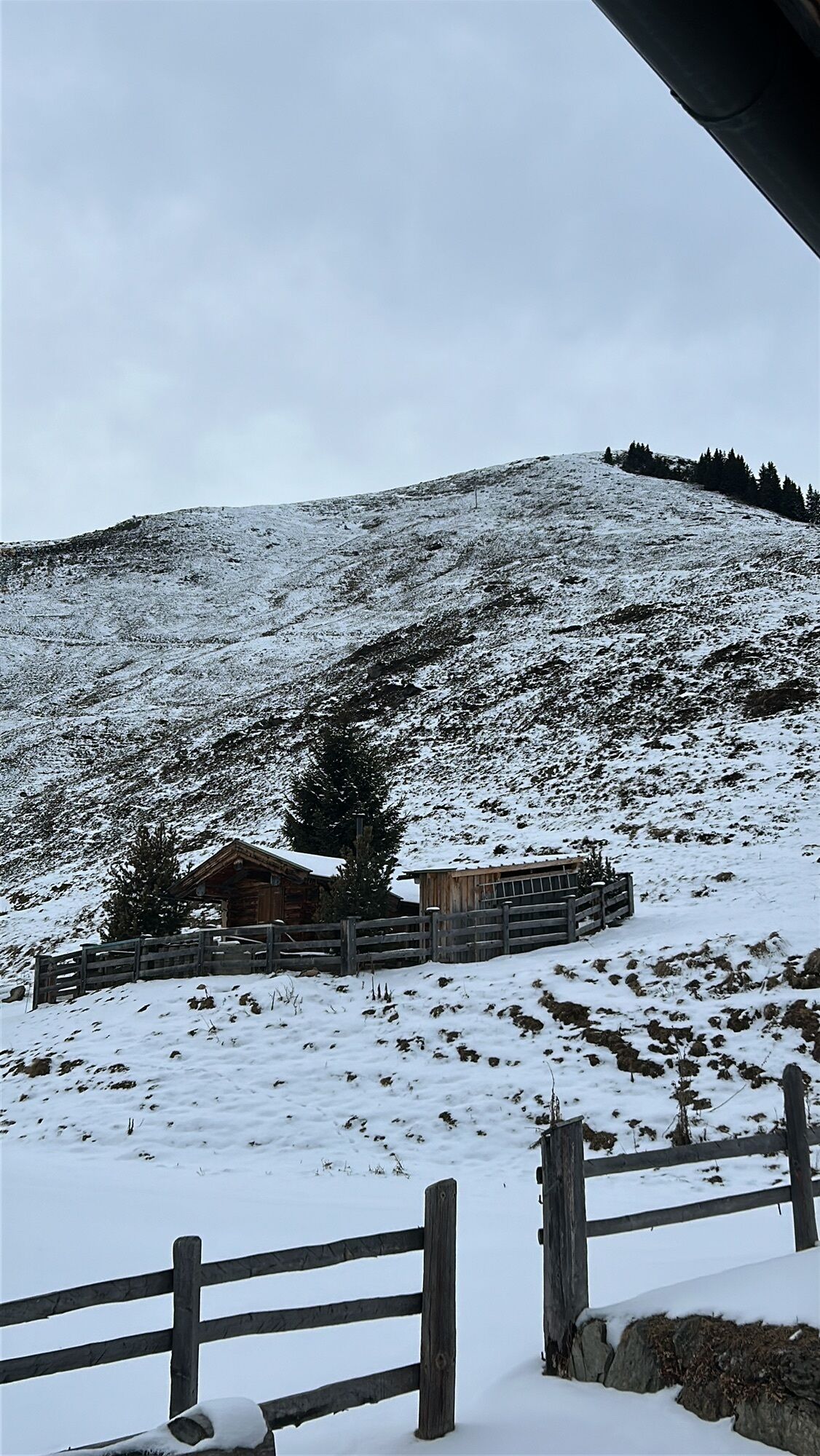
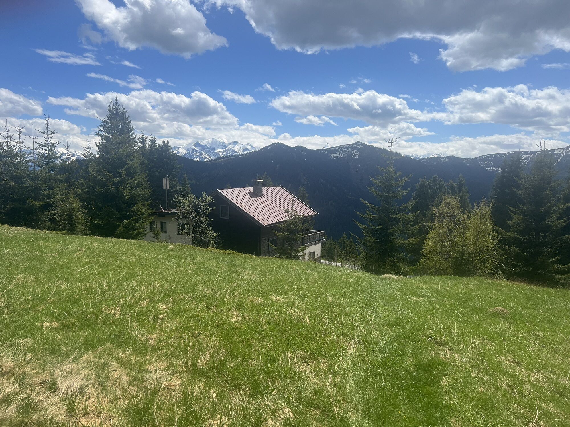
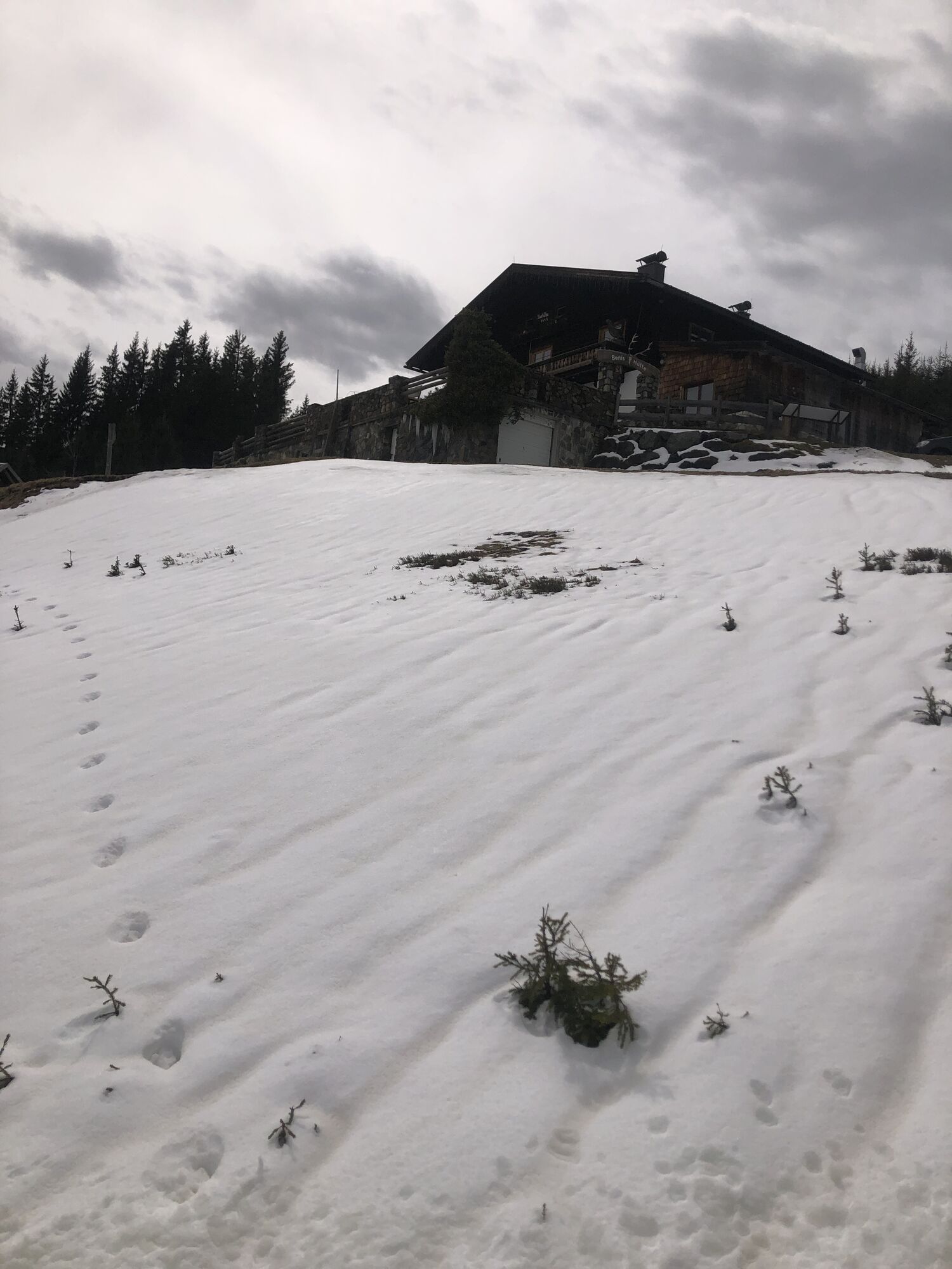
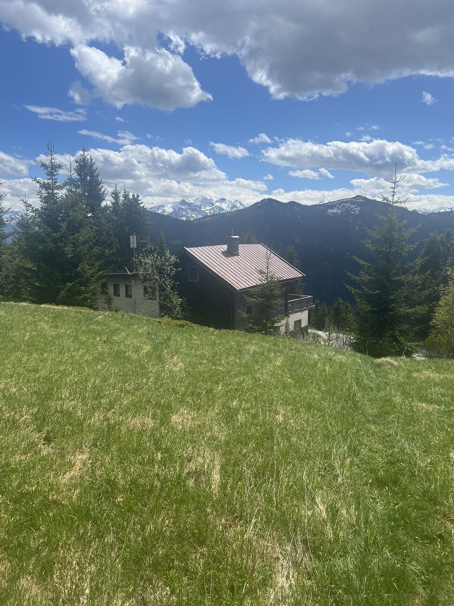
Berggasthof Biberg (managed)
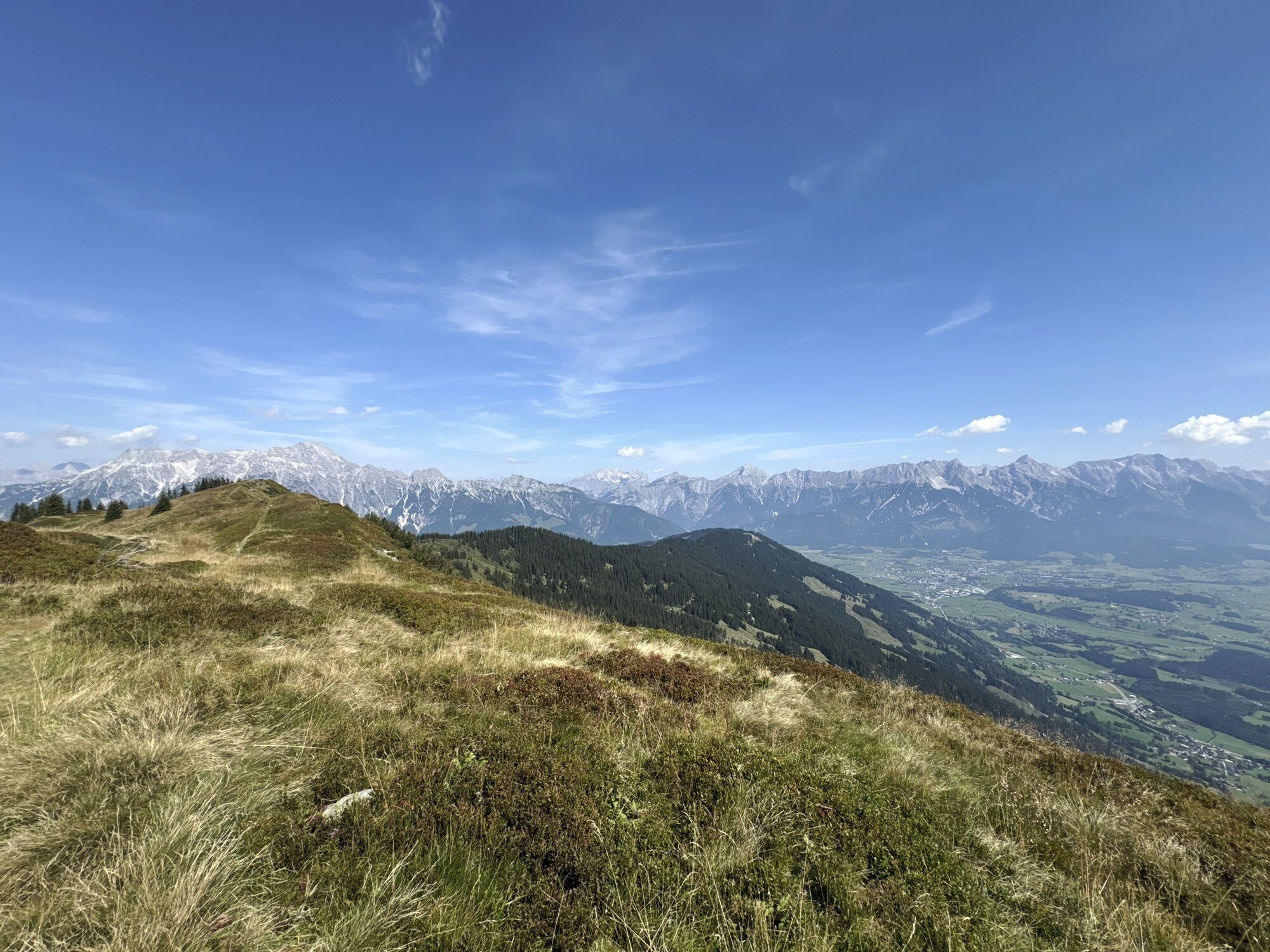
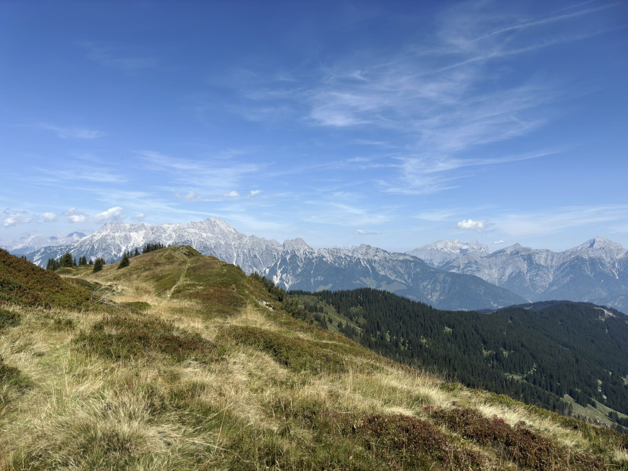
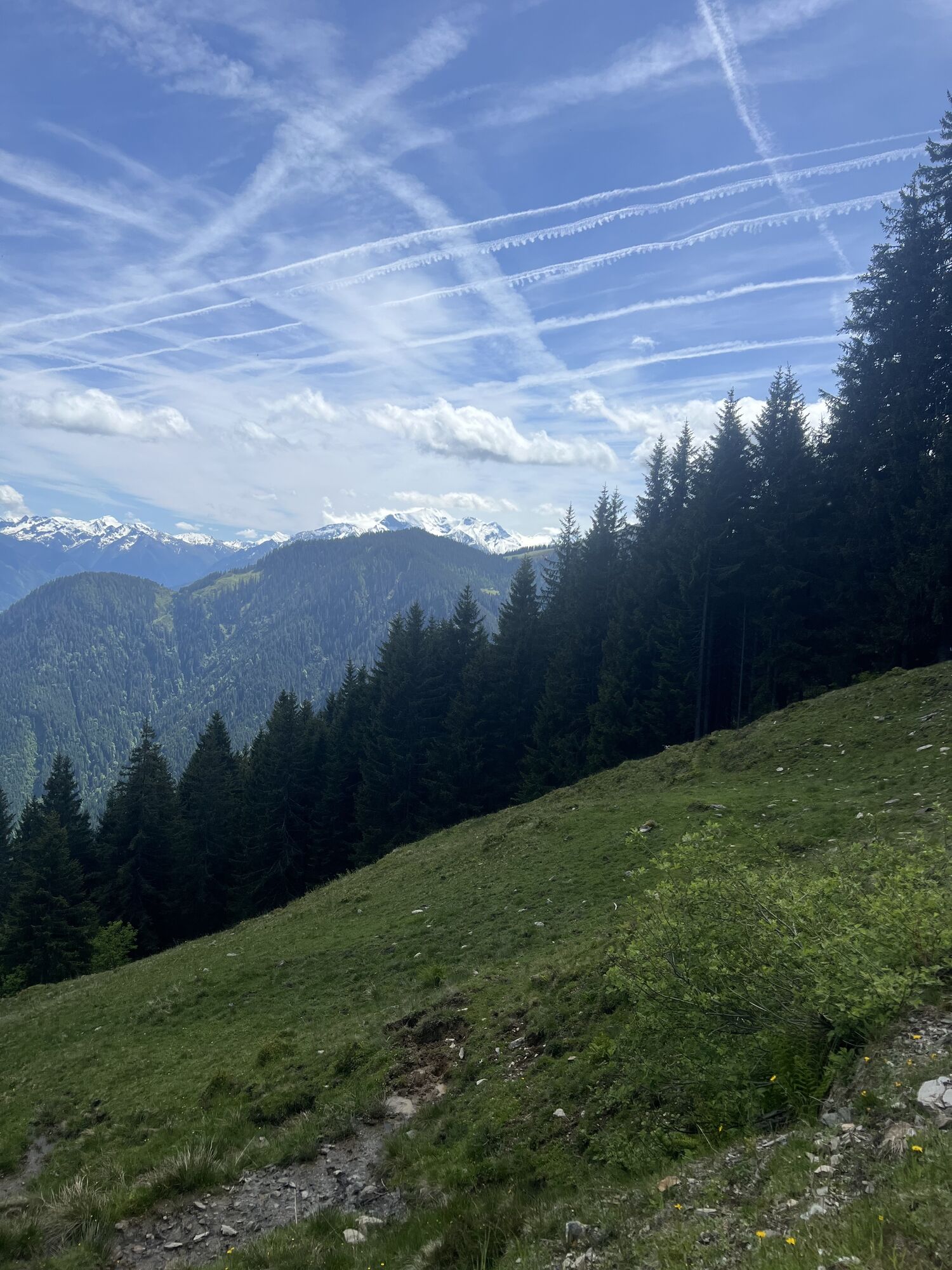
Saalachtaler Höhenweg (773 towards Sausteige / Jahnhütte)
Weikersbacher Köpfl
Durchenkopf...
Start valley station Huggenberg/Biberg lift
Ascent by chairlift to the Huggenbergalm (managed)
Berggasthof Biberg (managed)
Saalachtaler Höhenweg (773 towards Sausteige / Jahnhütte)
Weikersbacher Köpfl
Durchenkopf (774 to Sausteige)
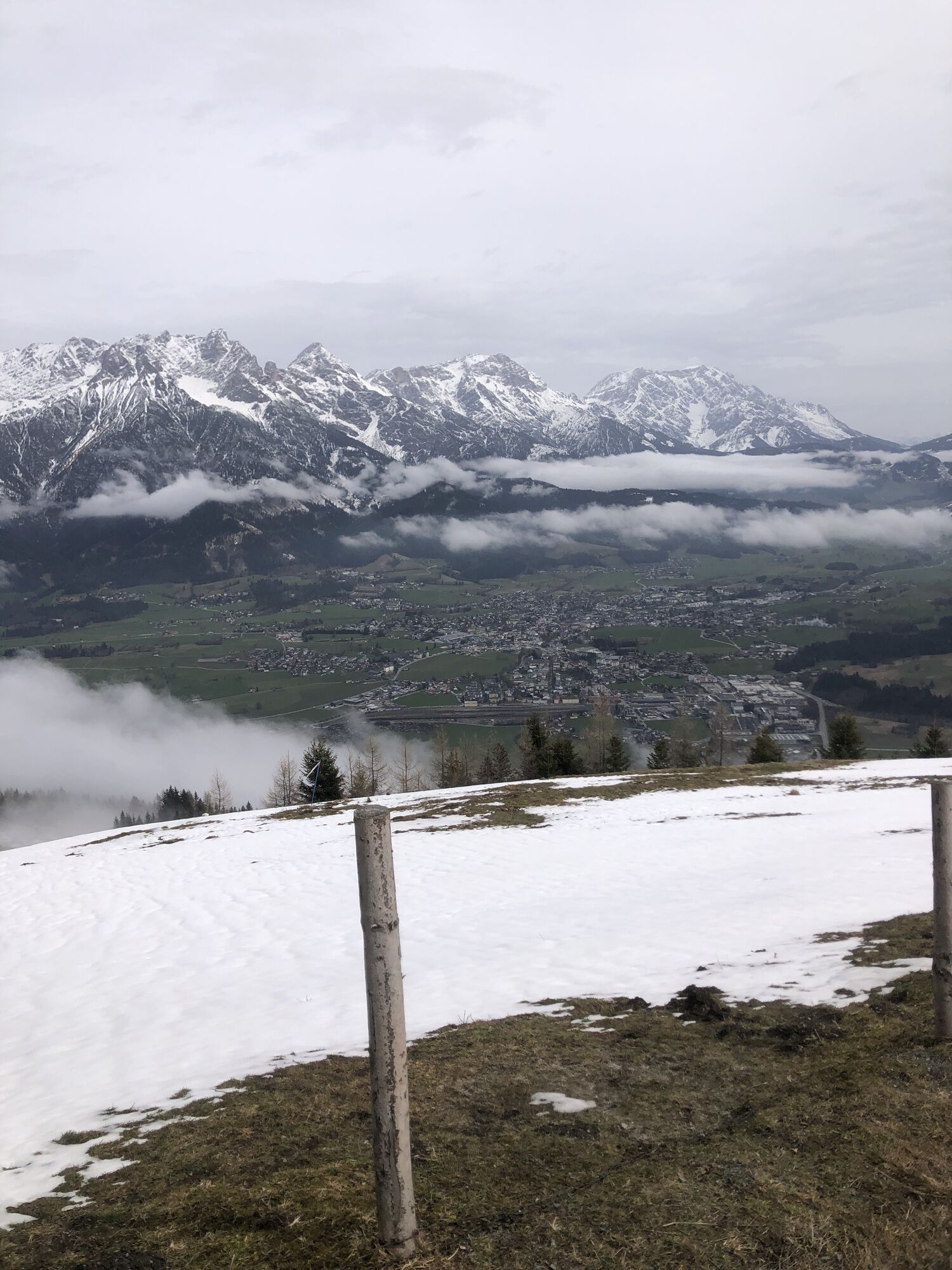
Sausteige
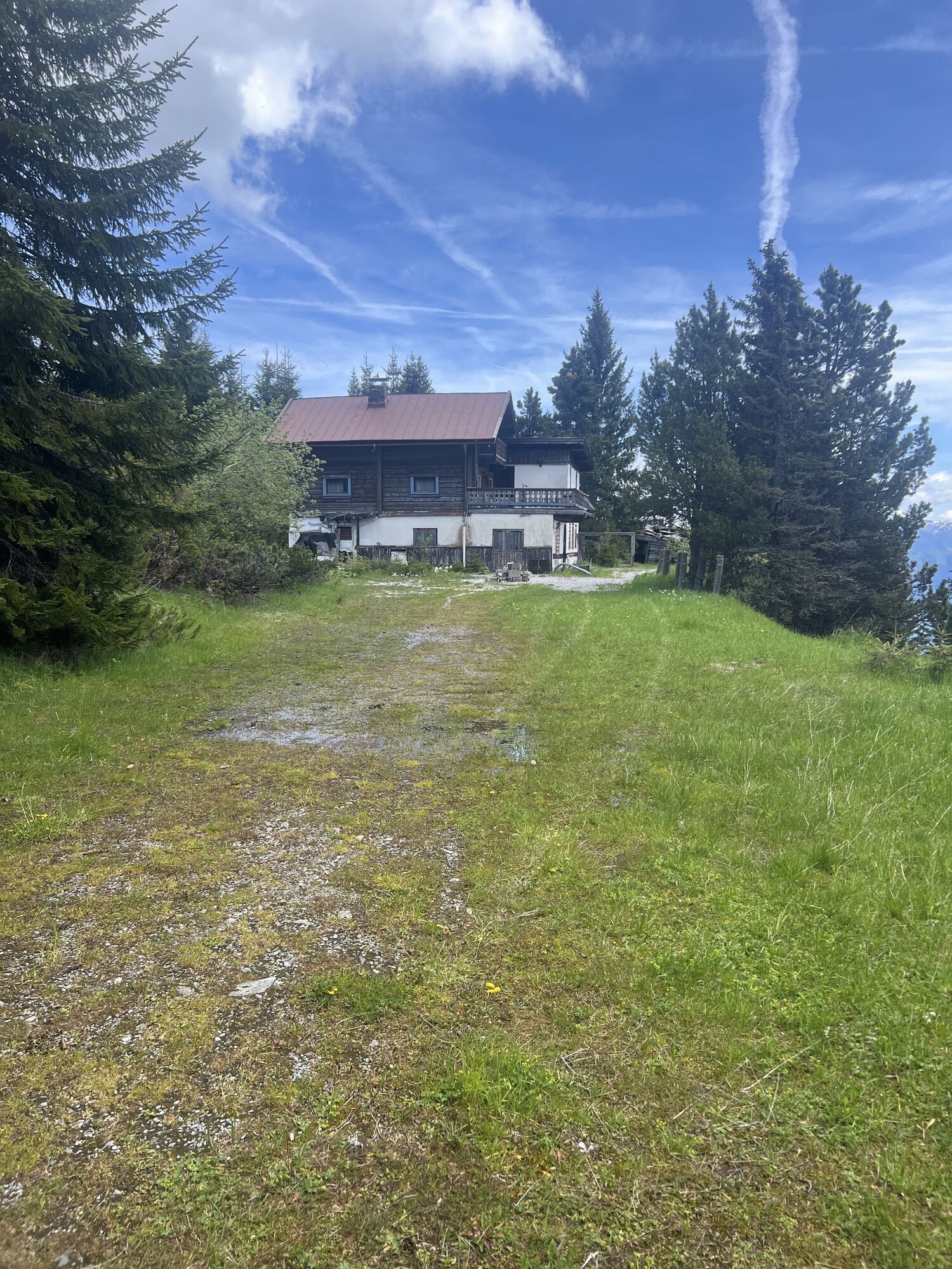
Jahnhütte (no dining option)
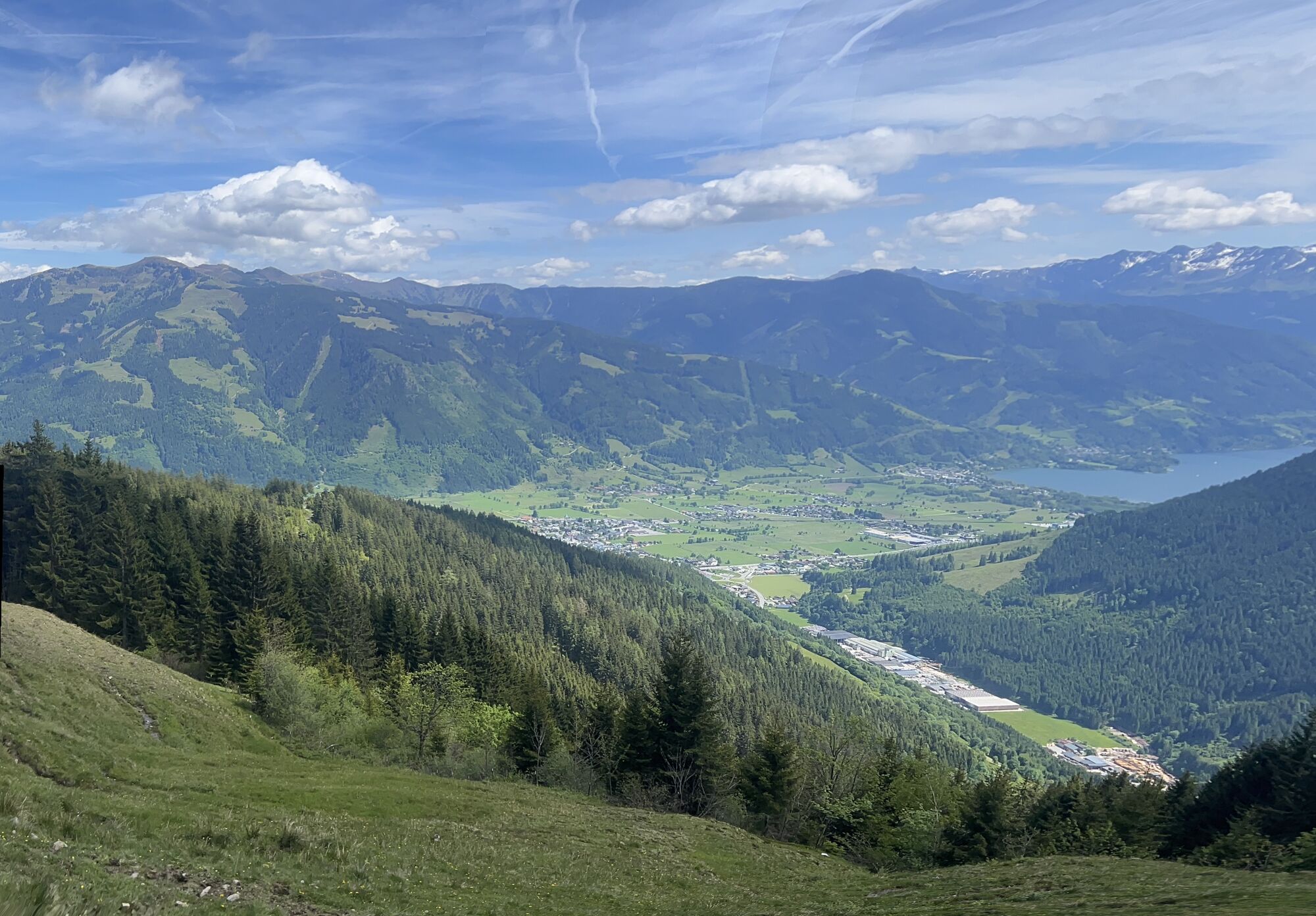
Maishofen

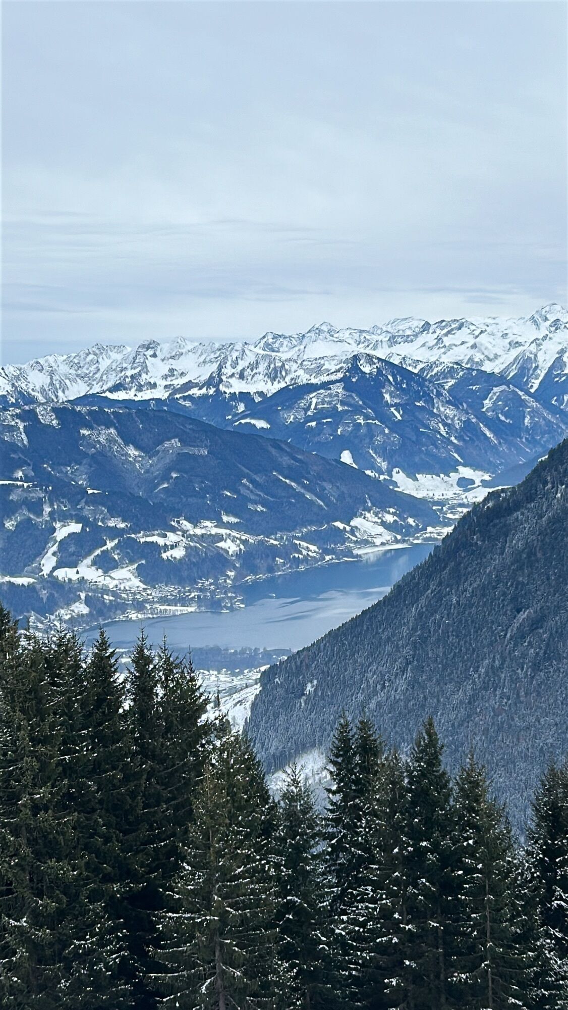
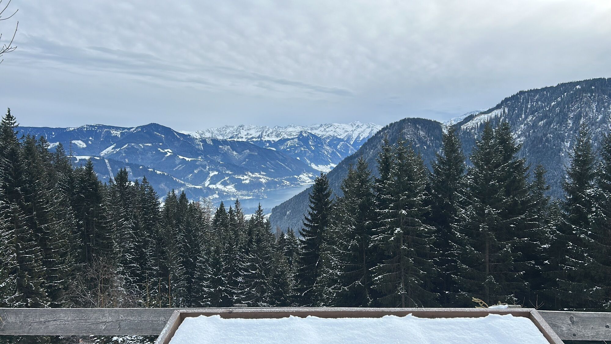
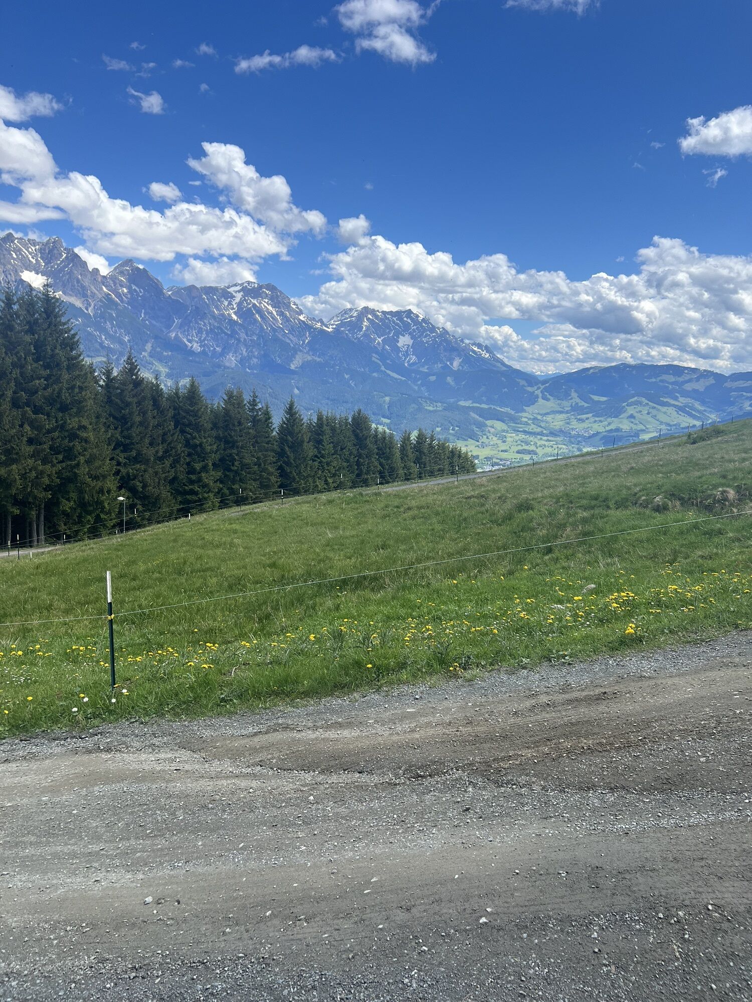
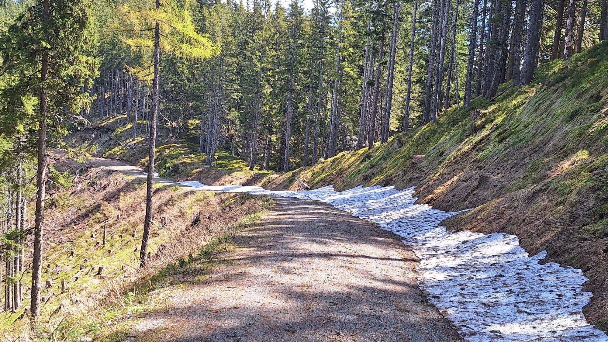
At the valley station Huggenberglift you can take the chairlift up to Huggenberg or follow the farm road on foot. The first goal is the Berggasthof Biberg. Then continue via the Saalachtaler Höhenweg No. 773 towards Sausteige/Jahnhütte along the ridge to the summit of Durchenkopf, towards Haiderbergkogel. Here follow the sign No. 774 to Sausteige and leave the Saalachtaler Höhenweg. Then you reach the summit cross of Sausteige. With a view of Lake Zell, the descent to "Maishofen" now follows via Gstallneralm, Gadenstättalm and the snack hut Stablberg.
Alternative variants: After Weikersbacher Köpfl 1616 m the path to Örgenbauernalm branches off to the left (variant C). After another 20 minutes, with the sign to Jahnhütte, the next opportunity on the left via Almrosenweg offers a shorter alternative (variant B) of the day tour to Maishofen.
Sturdy footwear, map material, small first aid kit, sun, wind and rain protection, sunscreen, sufficient water / food, binoculars
European emergency number: 112
Phone number of the Austrian mountain rescue: 140
Please observe the seasonal opening times of the managed alpine huts!
The long-distance hiking trail is bookable as an all-inclusive package "Hiking without luggage" at Saalfelden Leogang
Here is the timetable for local public transport
Webové kamery z prohlídky
Asitz Gipfel
Berghotel Seidl-Alm
Asitz Mittelstation
Sonnkogel
Schmittenhöhe
Mitterberg bei Thumersbach
Sommerrodelbahn
Zell am See / Hotel Berner
Zell am See
Leogang
Saalfelden
Großer Asitz / Gipfelkreuz
Leogang Schanteilift
Thumersbach
Sommerrodelbahn
Sommerrodelbahn
Sommerrodelbahn
Sommerrodelbahn
Maishofen Sausteige
Maishofen - Schloss Kammer
Leogang - Grosser Asitz
Maishofen Dorfplatz
zellamseeXpress
Hoferbichlgut
Oblíbené prohlídky v okolí
- 4.2
Maria Alm - Riemannhaus
Turistika 3.99 km - 4.6
Steinalm
světloTuristika 2.71 km - 4.3
Schwalbenwand Nr. 80, 81, 82
středníTuristika 13.0 km - 4.4
Peter-Wiechenthaler Hut
středníTuristika 4.32 km - 4.2
Passauer Hütte
heavyTuristika 4.14 km - 4.5
Seisenberg Gorge
světloTuristika 2.41 km - 4.6
Birnbachloch Leogang, Österreich
středníTuristika 5.18 km - 4.9
Schönfeldspitze 12.08.2020
heavyVysokohorská turistika 15.3 km - 4.0
Maurerkogel (Top)
Turistika 10.5 km - 4.9
Breithorn
středníTuristika 10.0 km
Pěší turistika a stopování


Nenechte si ujít nabídky a inspiraci pro vaši příští dovolenou
Vaše e-mailová adresa byl přidán do poštovního seznamu.