






Stuhlfelden: Sintersbachscharte path no. 713, 702

Úroveň obtížnosti: T3
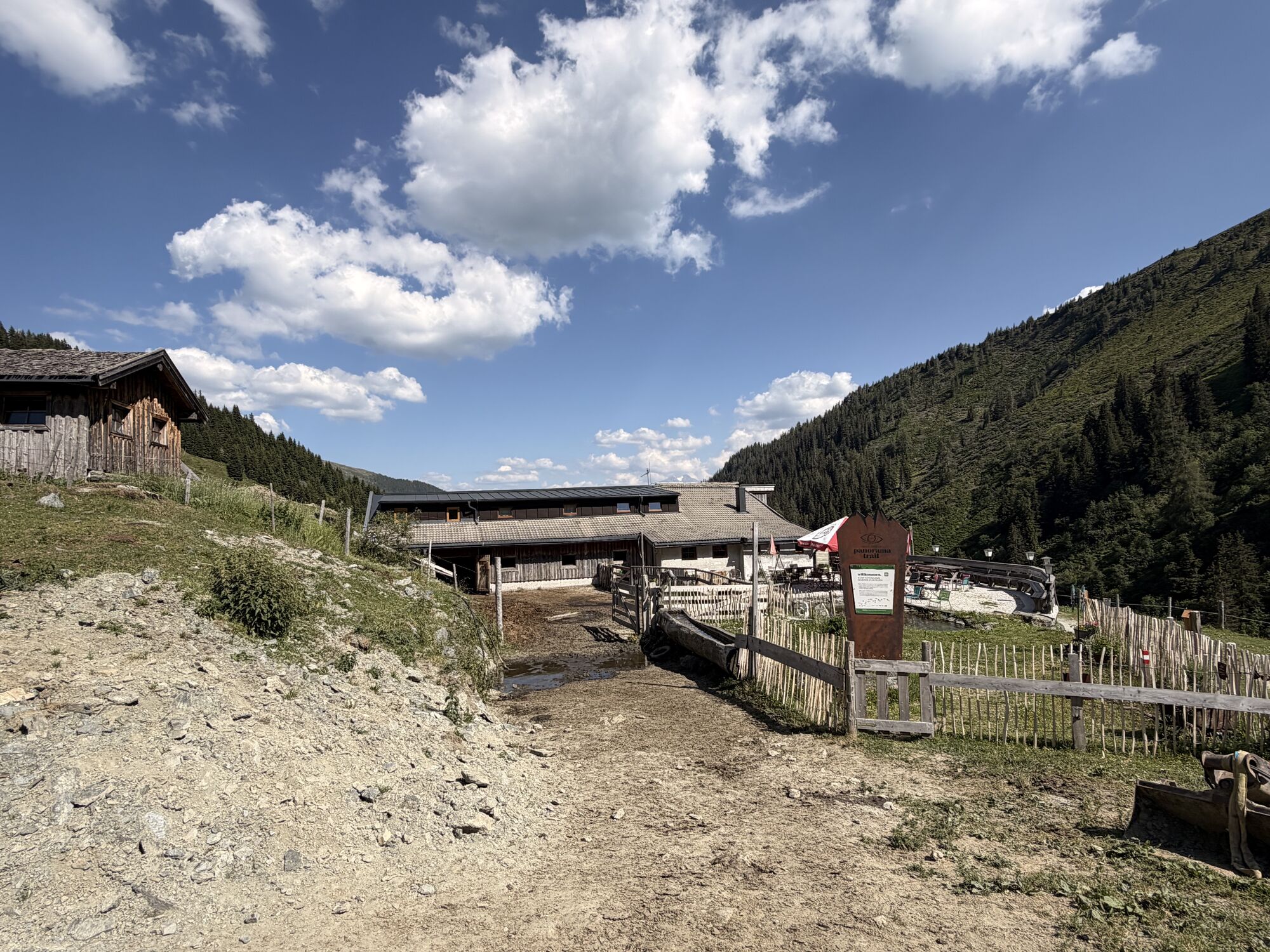
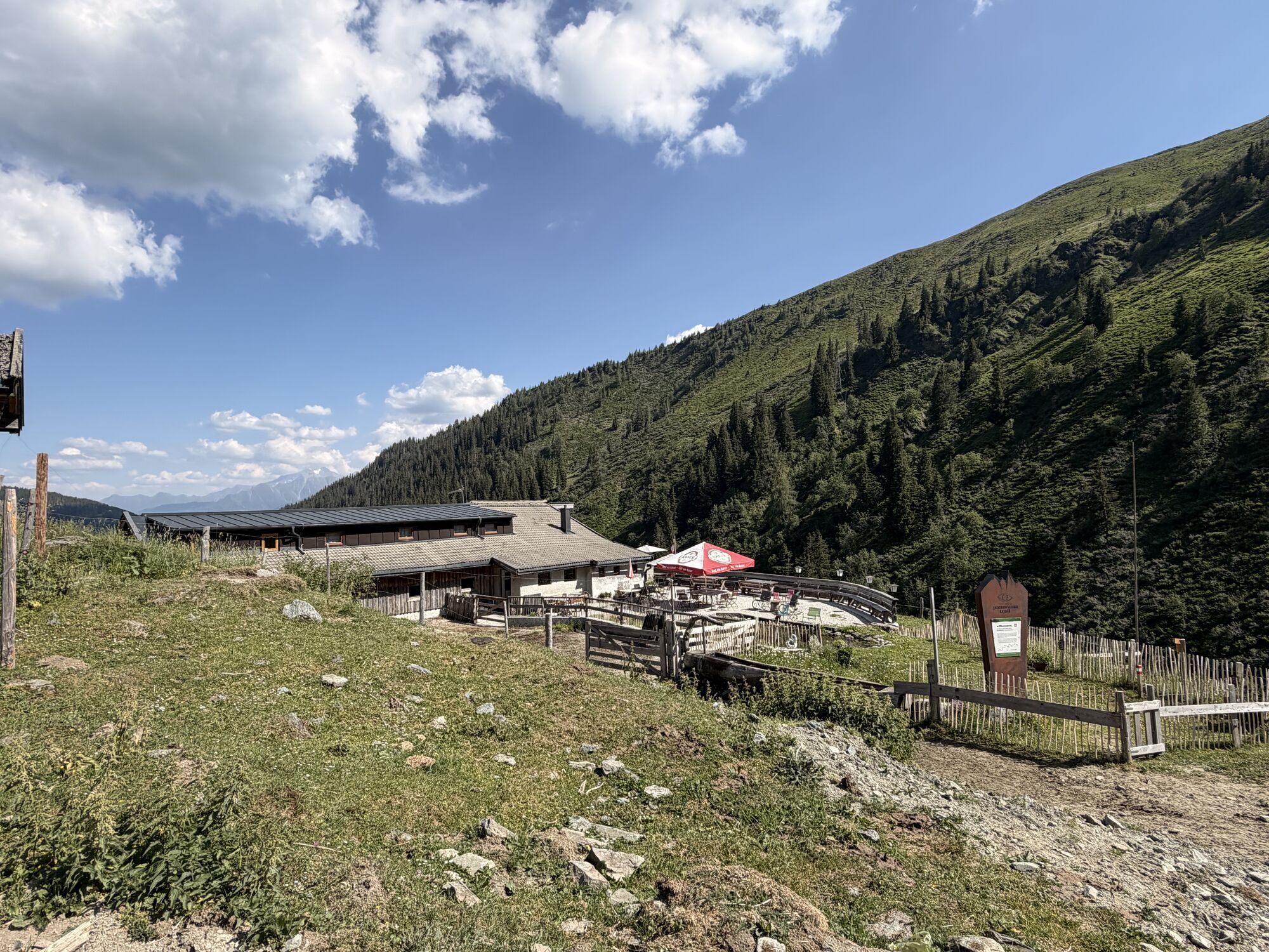
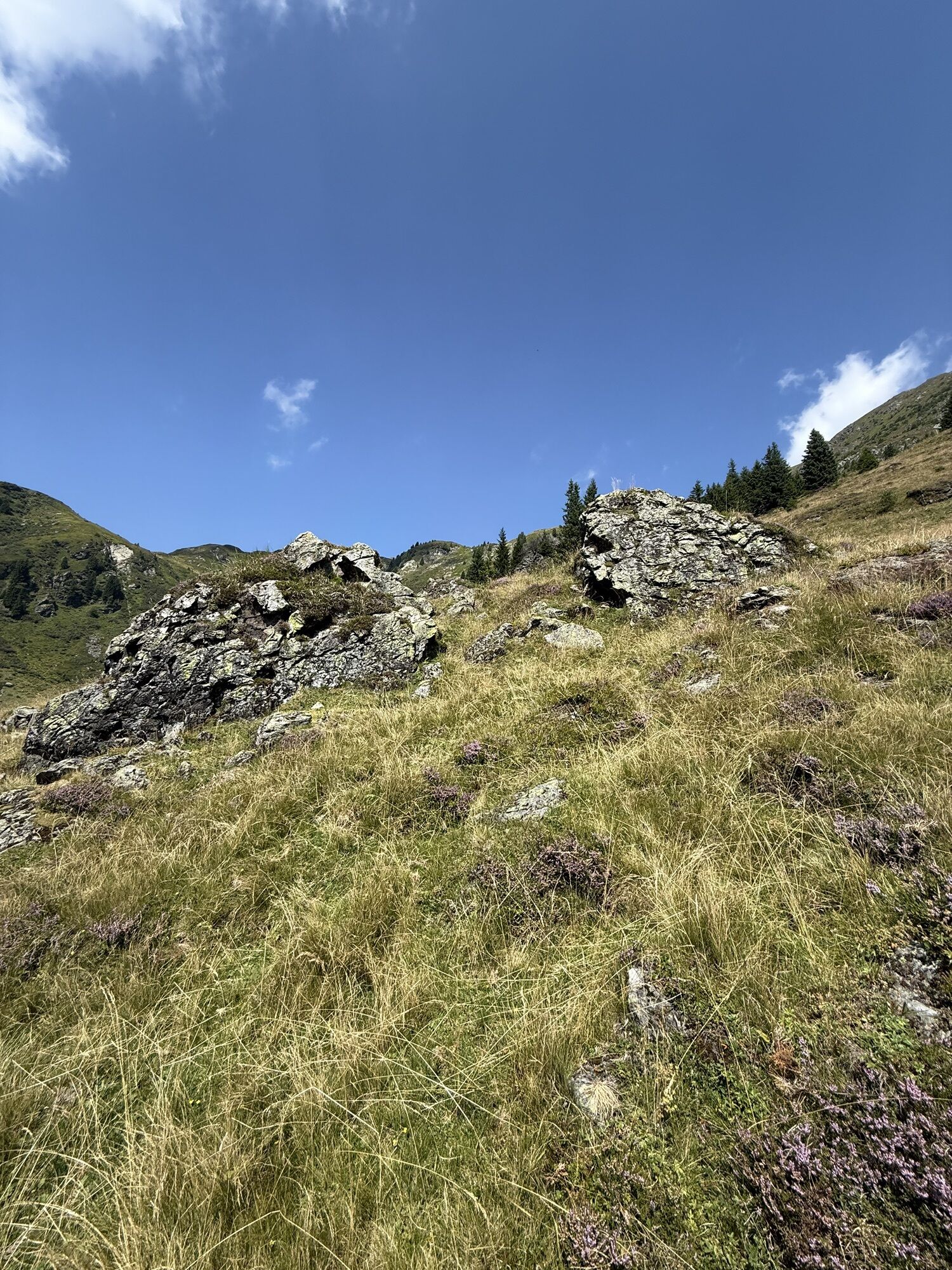
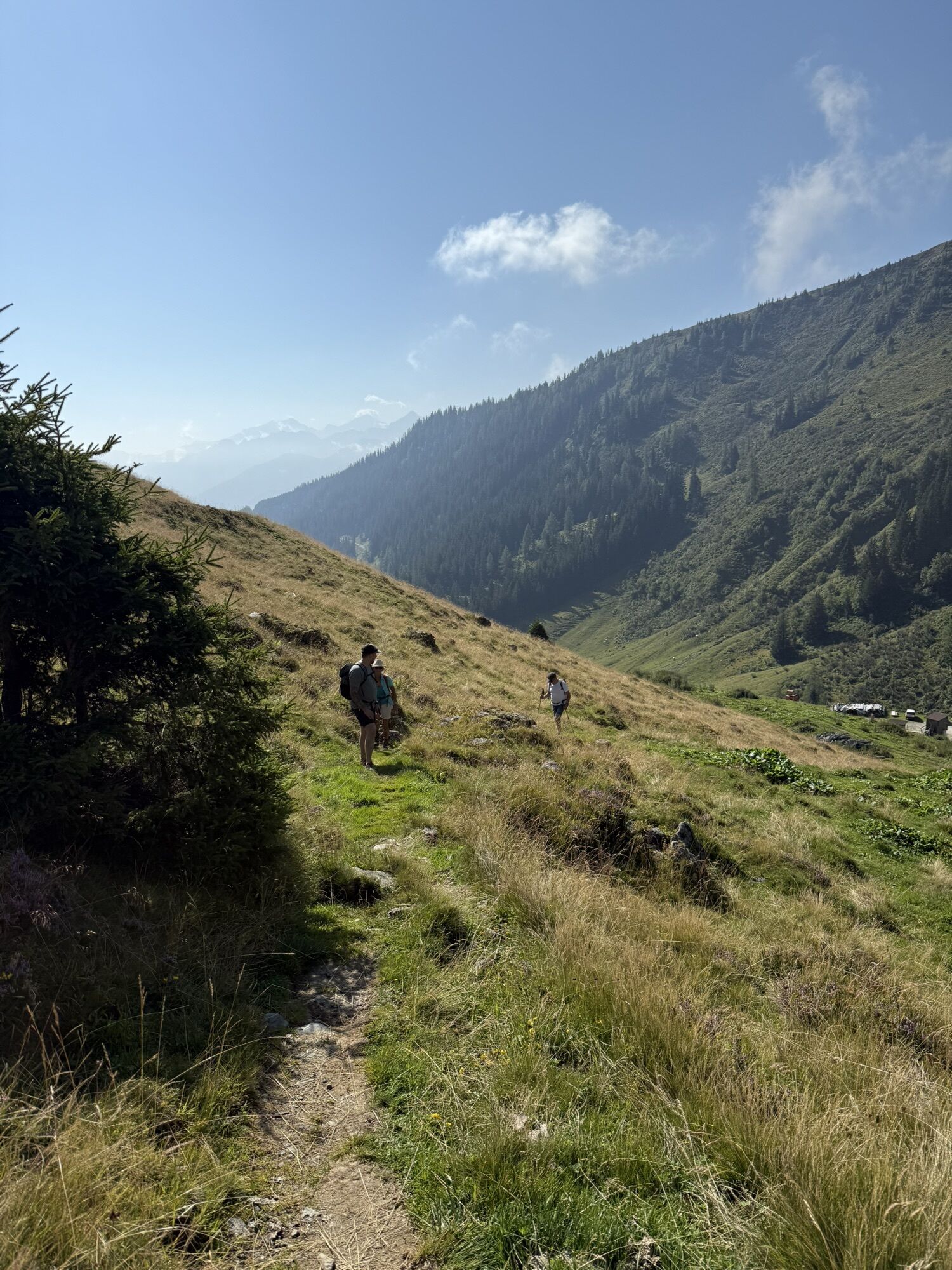
The Sintersbachscharte is located at 2,035 m and lies in the Kitzbühel Alps. It is exactly on the border between Salzburg and Tyrol. Northwest of the pass is North Tyrolean territory, south, southwest,...
The Sintersbachscharte is located at 2,035 m and lies in the Kitzbühel Alps. It is exactly on the border between Salzburg and Tyrol. Northwest of the pass is North Tyrolean territory, south, southwest, and east is Pinzgau territory. Surrounding mountain peaks are Rescheskogel to the south and Gaisstein to the northeast. The Sintersbachscharte also forms the western end point of the Pinzgauer Spazierweg (also called Pinzgauer Höhenweg), which leads here from the Schmittenhöhe in Zell am See.

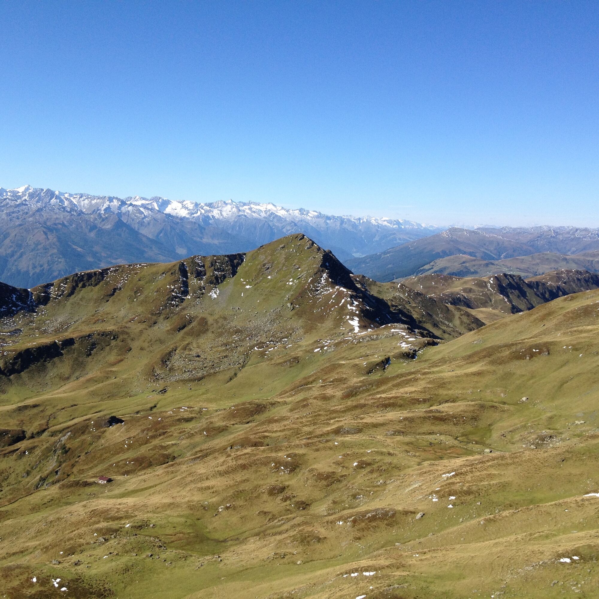
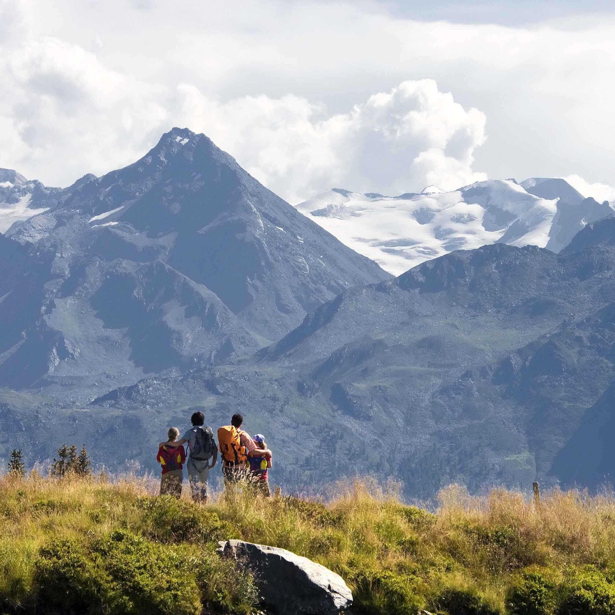
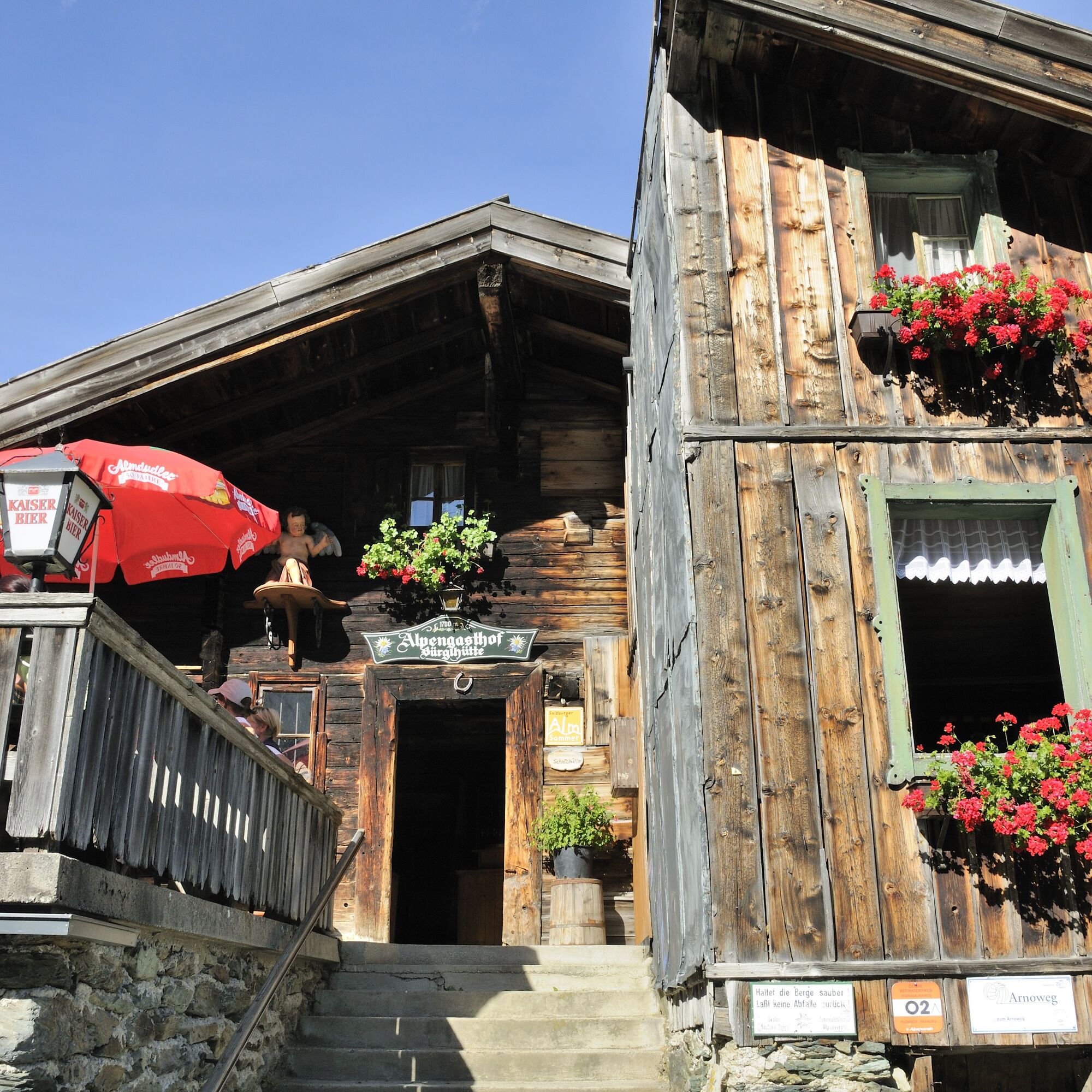

Starting from the Thalbach district, take path 702 towards Liendlalm. From there continue to Roßweg and Sintersbachscharte. From there the path leads along number 713 eastwards to the Bürglhütte.
Ankle-high hiking boots, weatherproof clothing, sufficient drinking water, snacks, hiking map, mobile phone required.
A basic level of sure-footedness and freedom from dizziness is required.
Get chauffeured to the Bürglhütte in Stuhlfelden and start your route here.
The Mittersill-Hollersbach-Stuhlfelden region is very well accessible by the Pinzgauer local railway and ÖBB buses.
There are ample parking facilities at the Bürglhütte.
T3
Mittersill Plus GmbH, Zeller Straße 2, 5730 Mittersill, Tel. 0043(0) 6562 4292
welcome@mittersill.info, www.mittersill.info
Also visit the Sintersbach Hochalm. Every summer numerous Haflingers with foals spend their alpine summer here. In the region, the Haflinger is considered the mountain horse alongside the Noriker horse. The Haflinger became known for its light chestnut color and white mane. This easy-to-feed and well-muscled horse breed was used as a pack animal on many Tauern crossings. For centuries, salt, wine, ... were transported over the Alpine passes. Today, the Haflinger is a very popular leisure horse.

Oblíbené prohlídky v okolí
-
3.7
Smaragdwanderweg Habachtal/Bramberg
světloTuristika 7.17 km -
4.7
Panorama route 3 peaks and 2 lakes
středníTuristika 7.21 km -
4.7
Hollersbach - Neue Fürther Hütte
Turistika 16.0 km -
4.7
Tristkogel
heavyTuristika 15.6 km -
4.8
Fieberbrunn- Wildseeloderhaus- Rund um die Henne/Hochhörndlehütte
středníTuristika 8.02 km -
3.9
Hollersbach: Pihapper path no. 935
heavyTuristika 12.8 km -
4.1
Via the Schösswendklamm to Hintersee
středníTuristika 8.29 km -
4.9
Manlitzkogel
heavyTuristika 13.4 km -
4.9
Hollersbach: Stream Nature Trail Path no. 16
středníTematická stezka 11.7 km -
3.6
Mittersill: Raised bog Wasenmoos path no. 77
světloTematická stezka 7.06 km
Pěší turistika a stopování


Nenechte si ujít nabídky a inspiraci pro vaši příští dovolenou
Vaše e-mailová adresa byl přidán do poštovního seznamu.





