



NP 16c | Bike tour Seidlwinkl Valley in the Rauris Valley

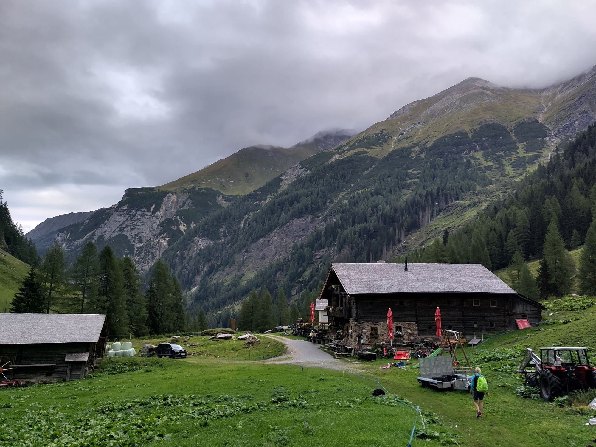
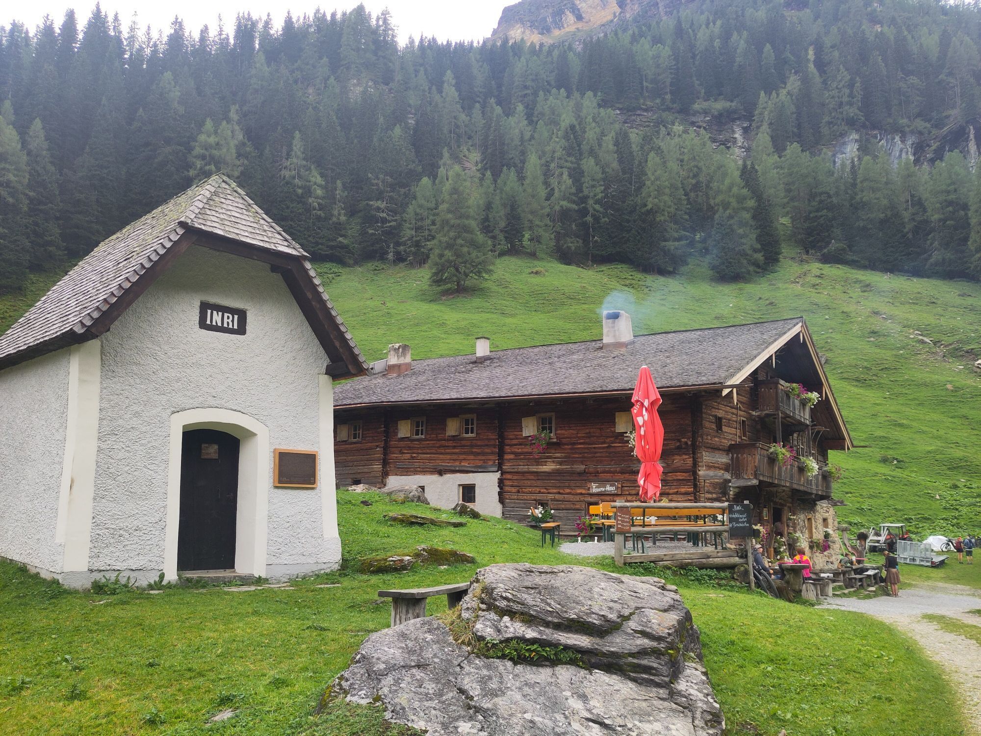
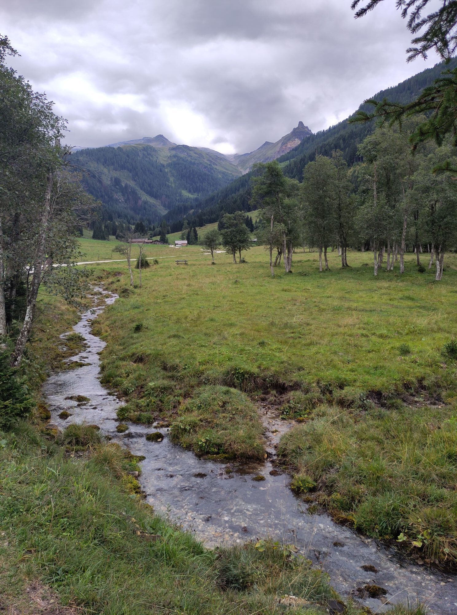


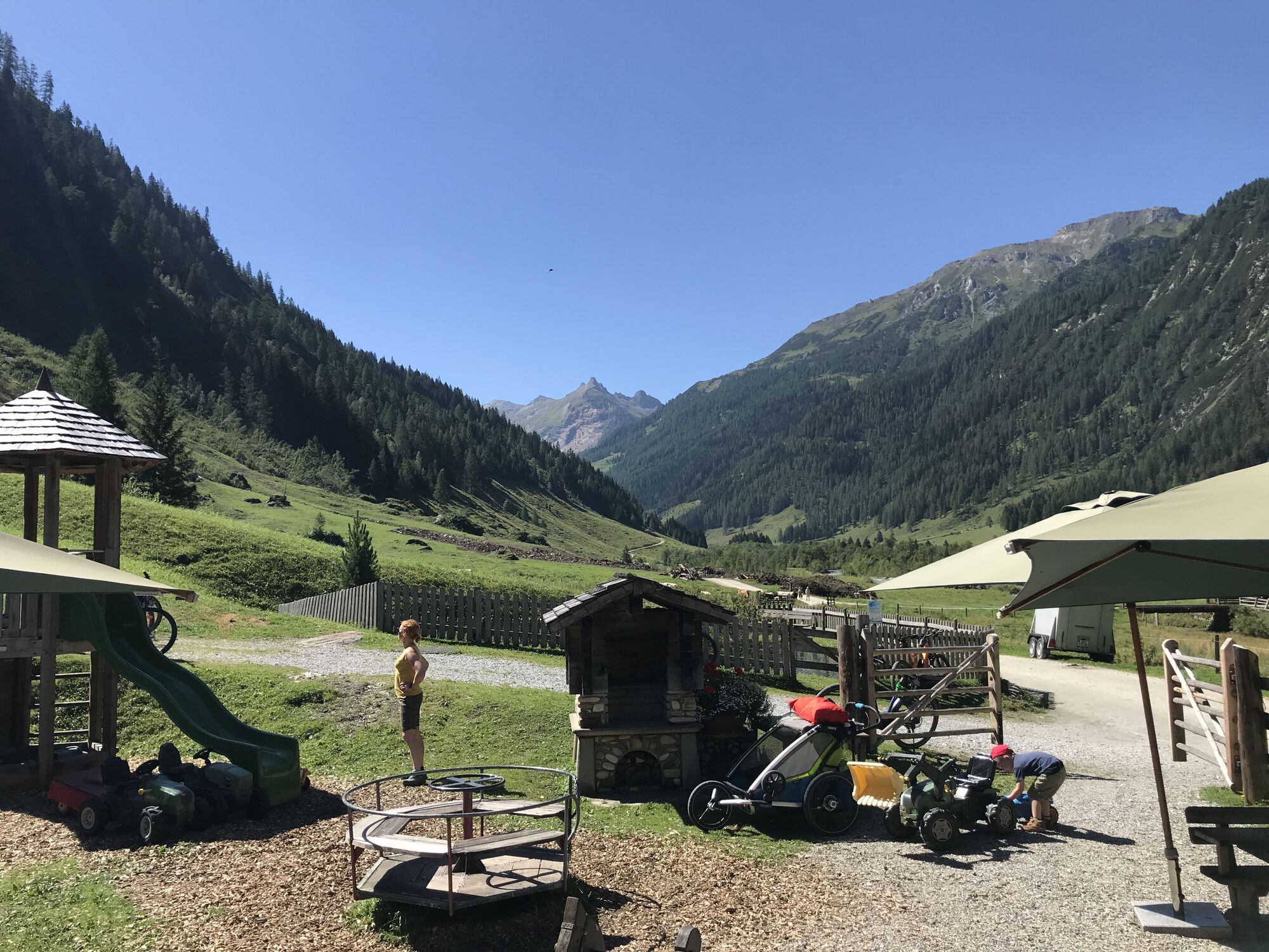
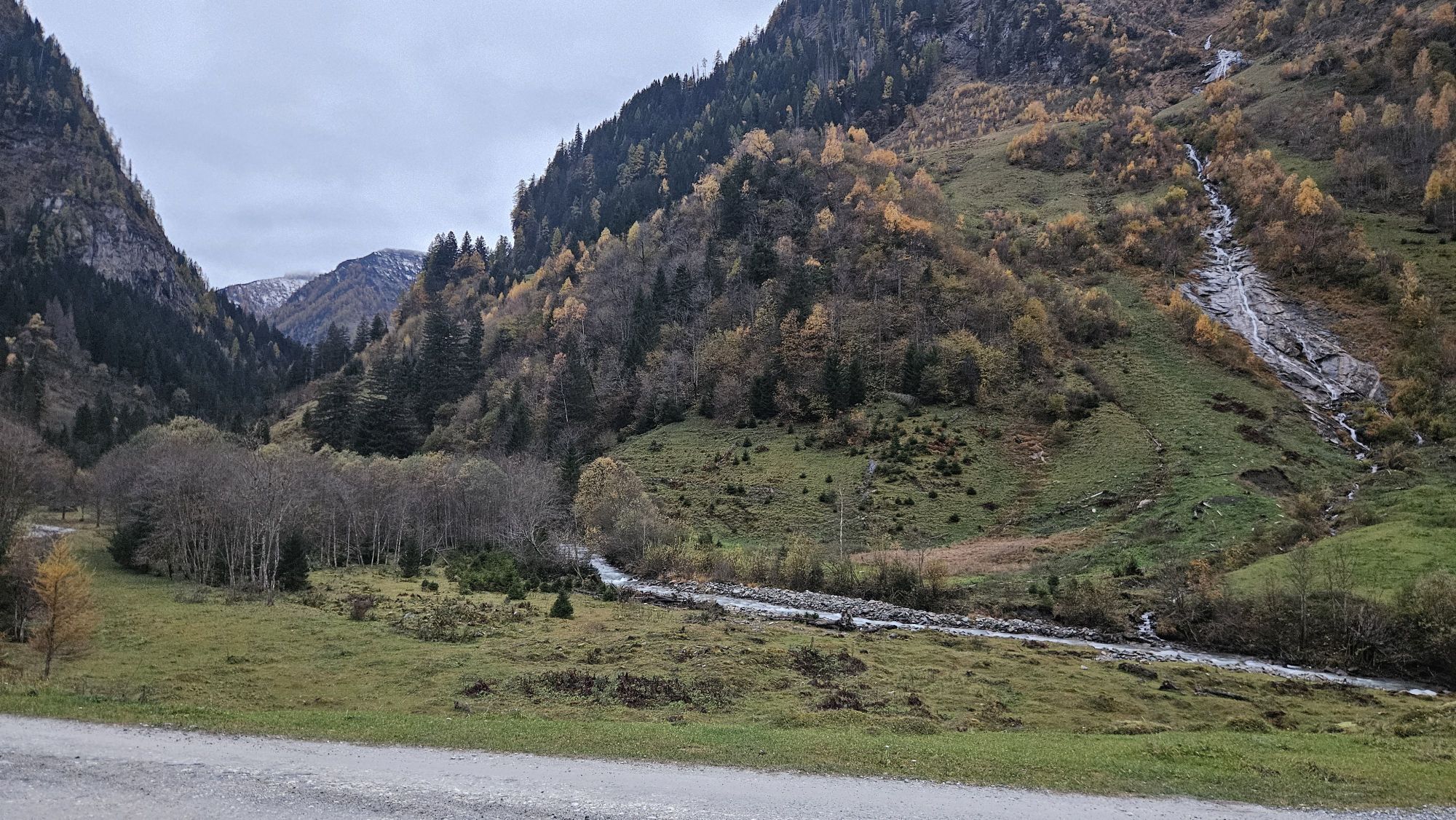
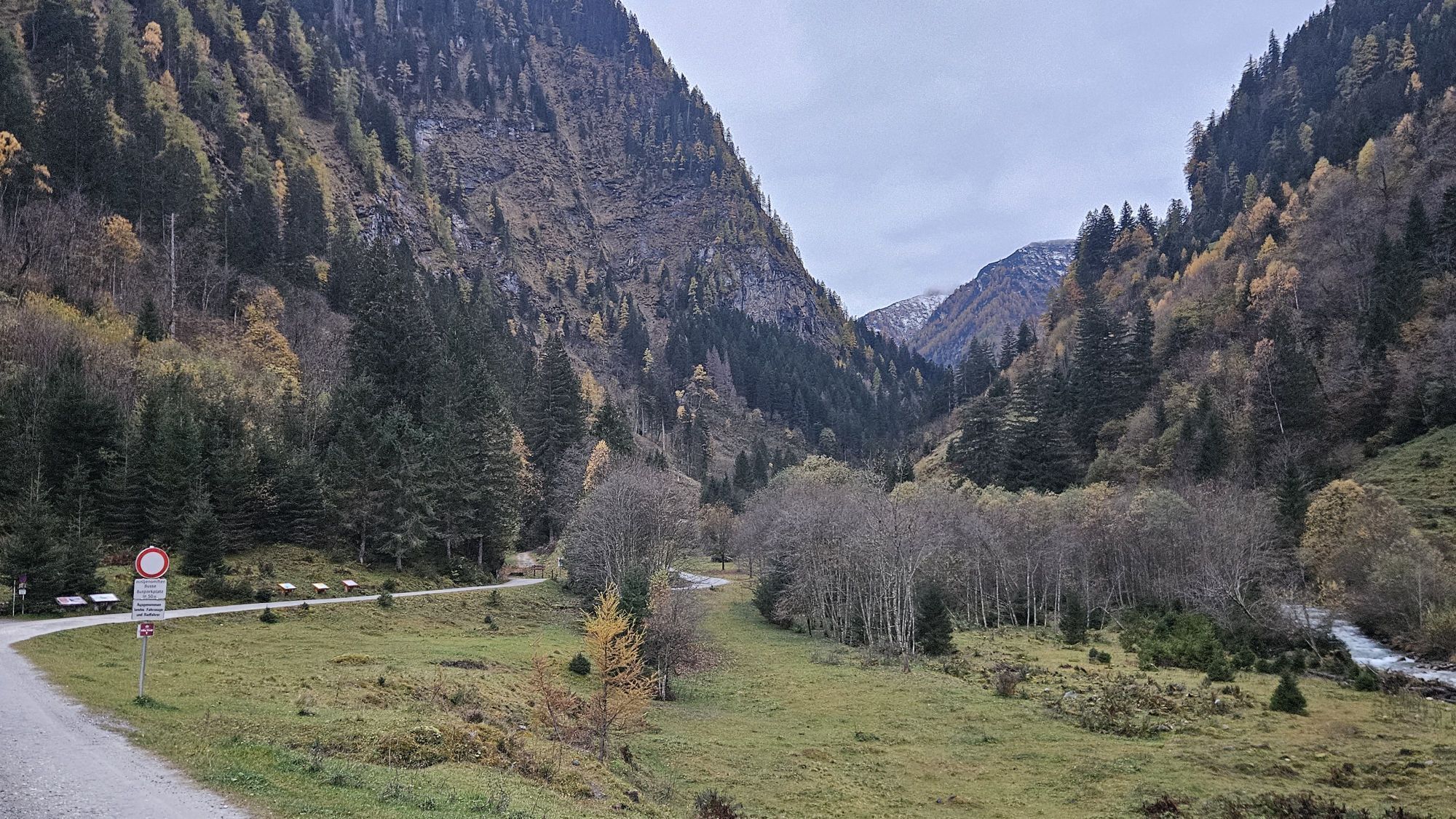
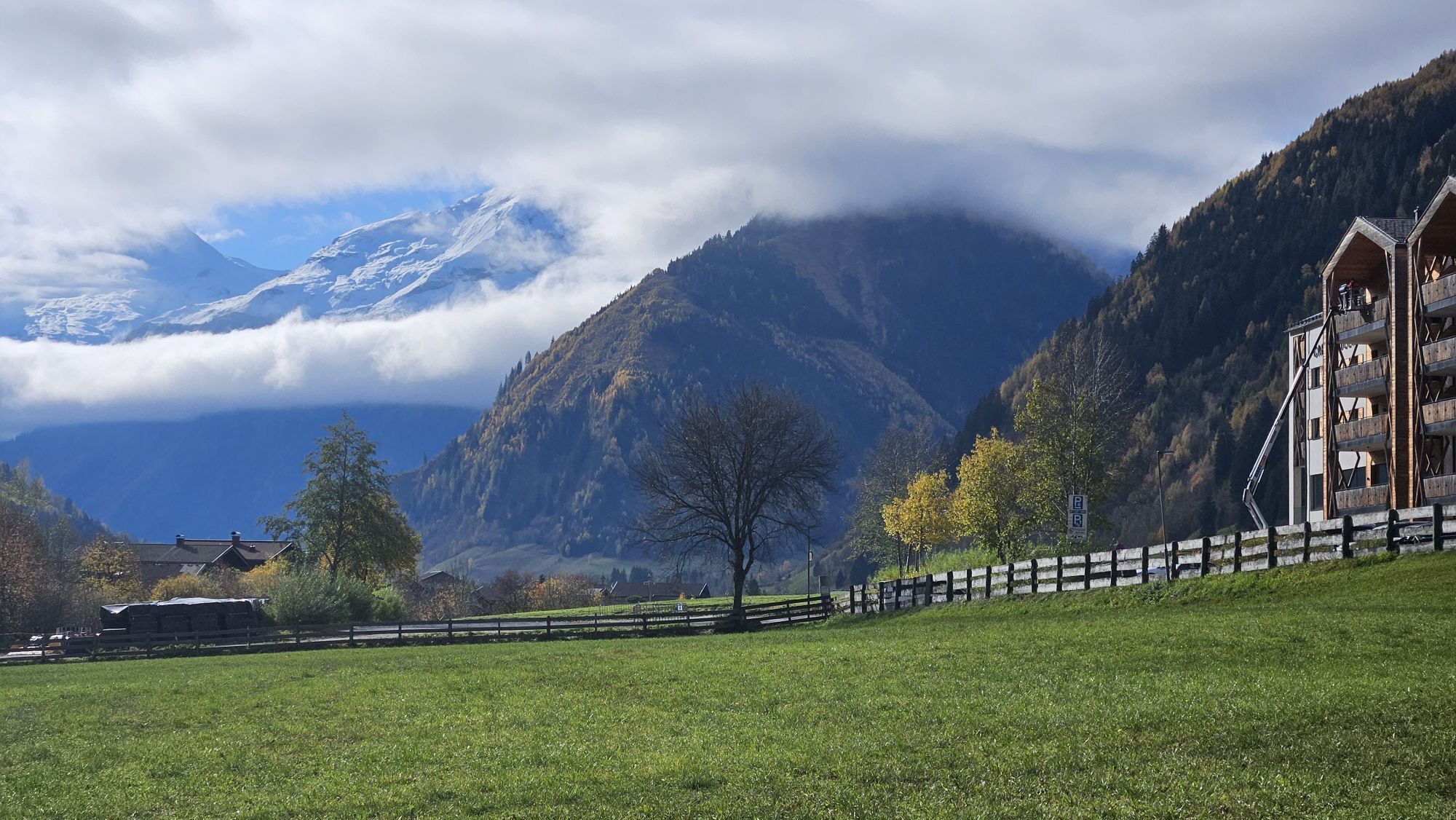
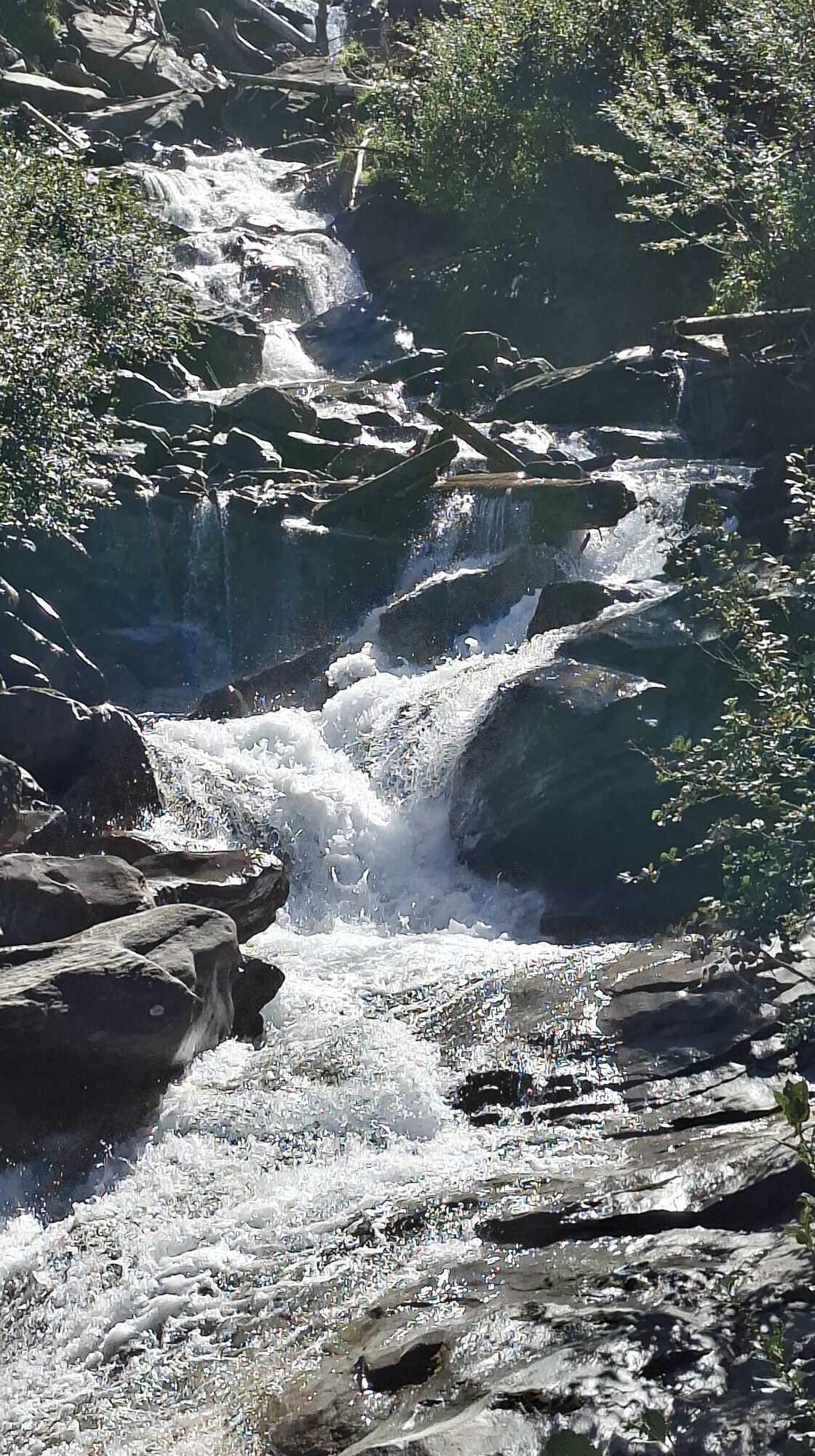
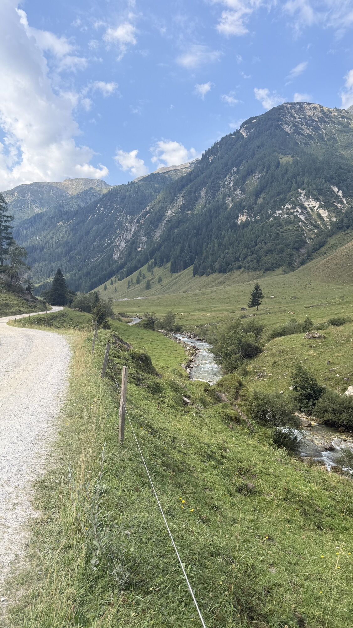
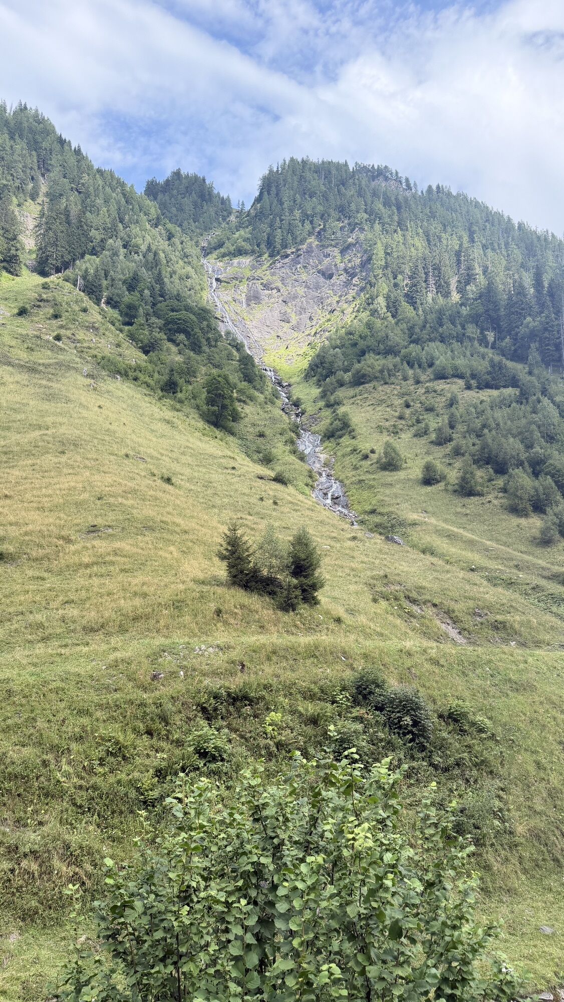
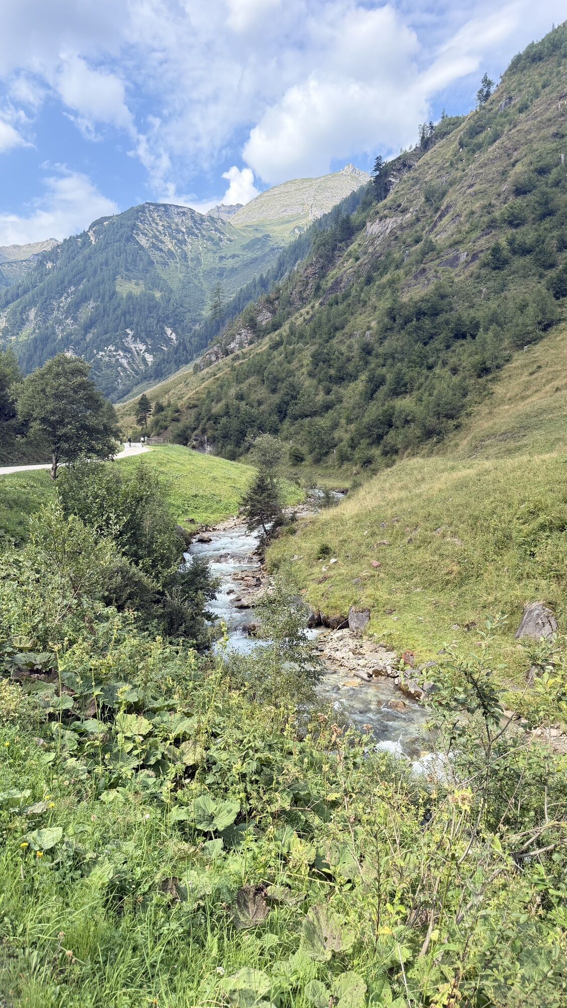

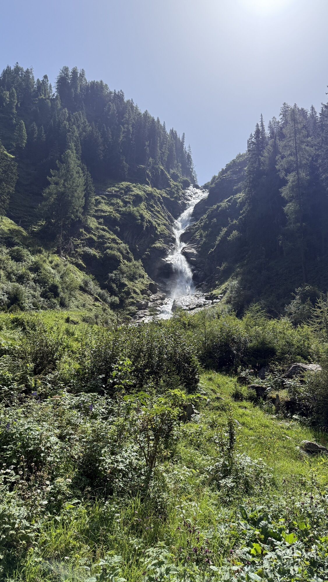
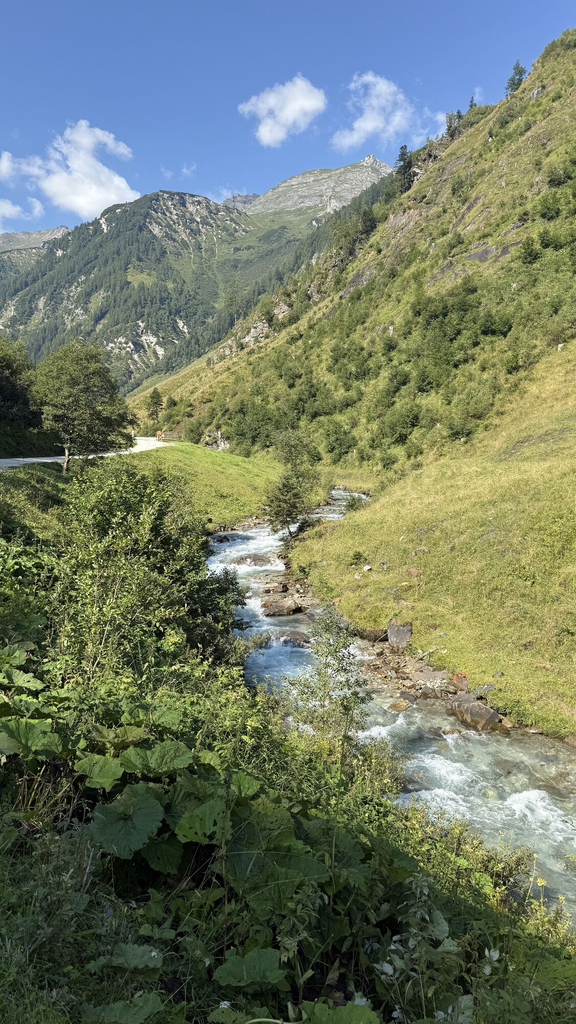
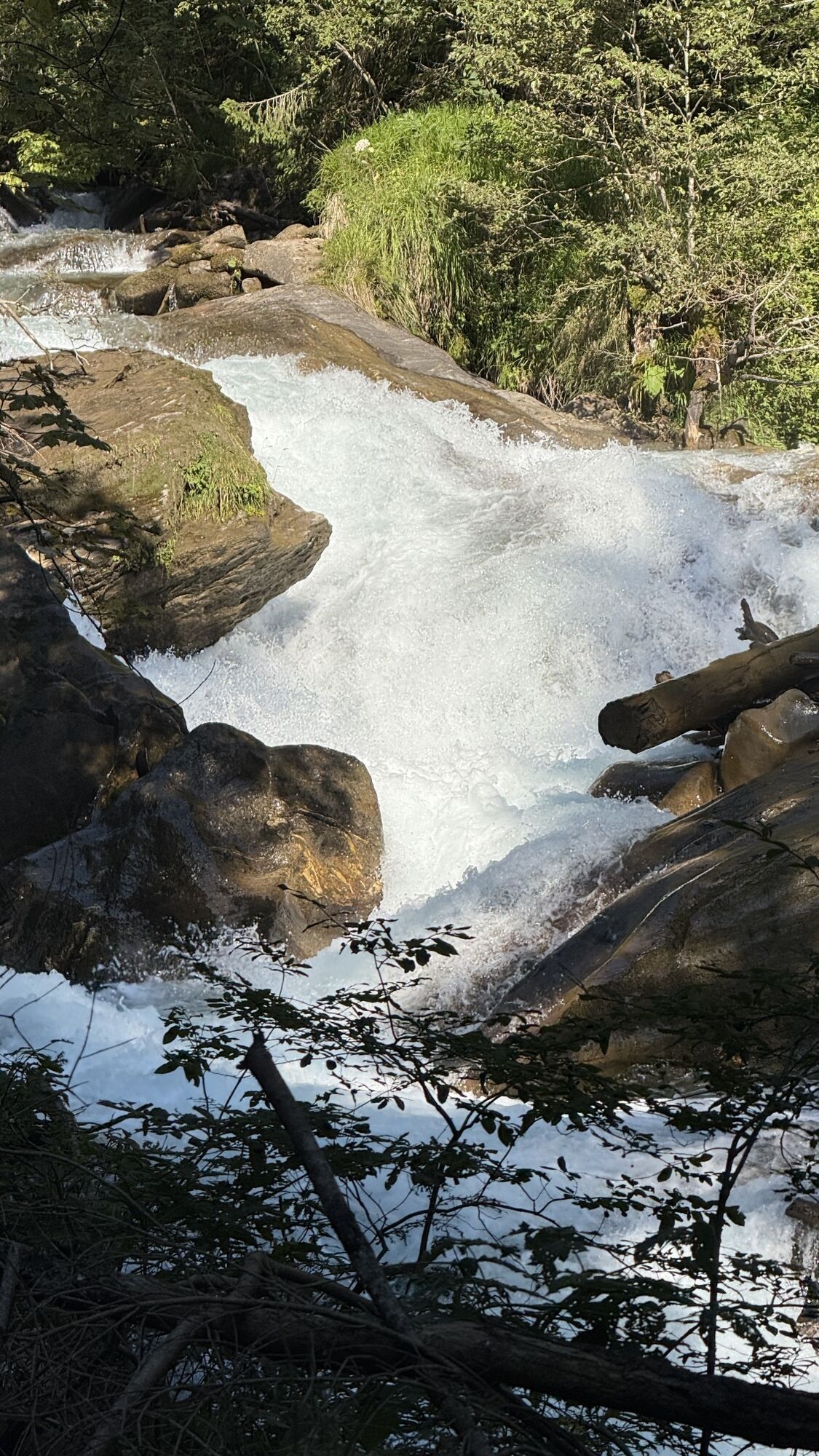
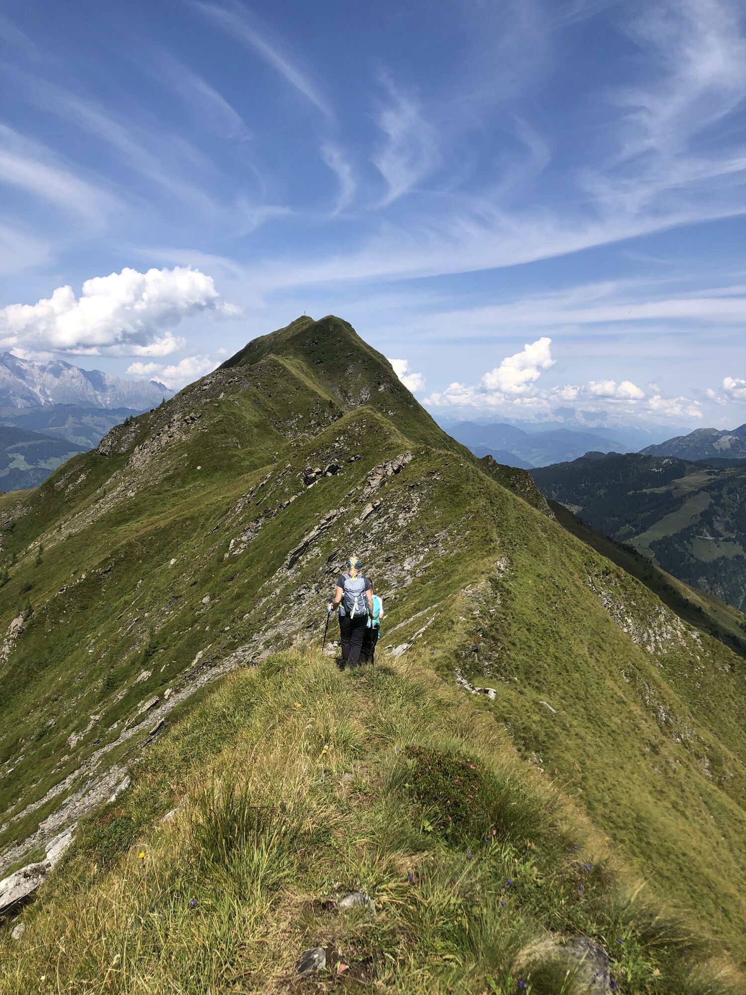
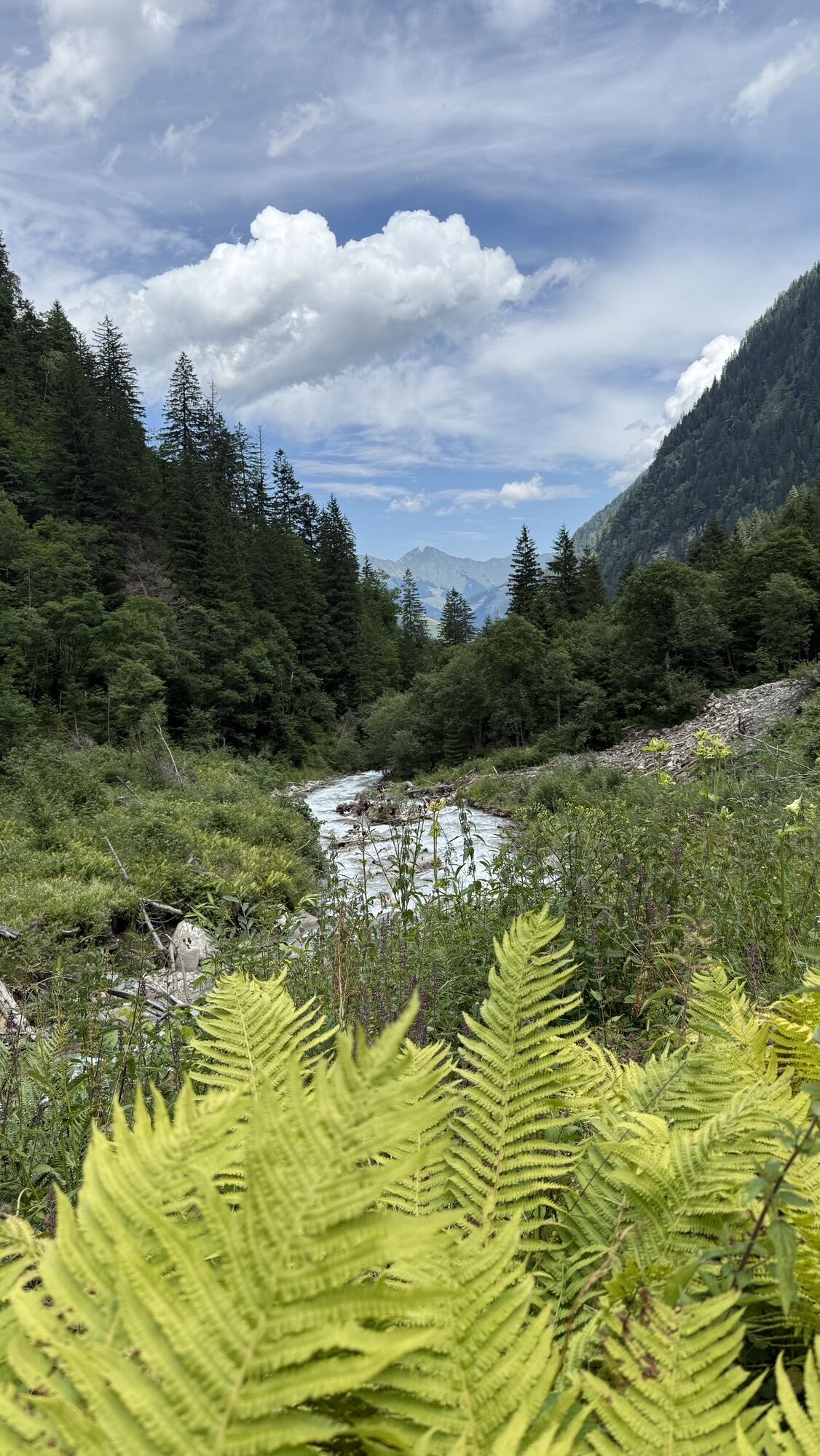
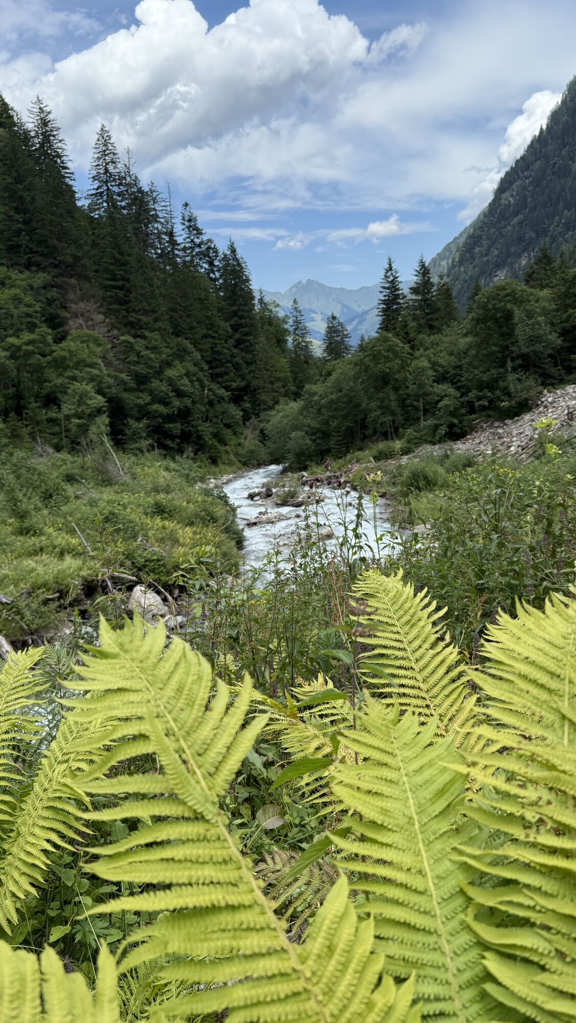
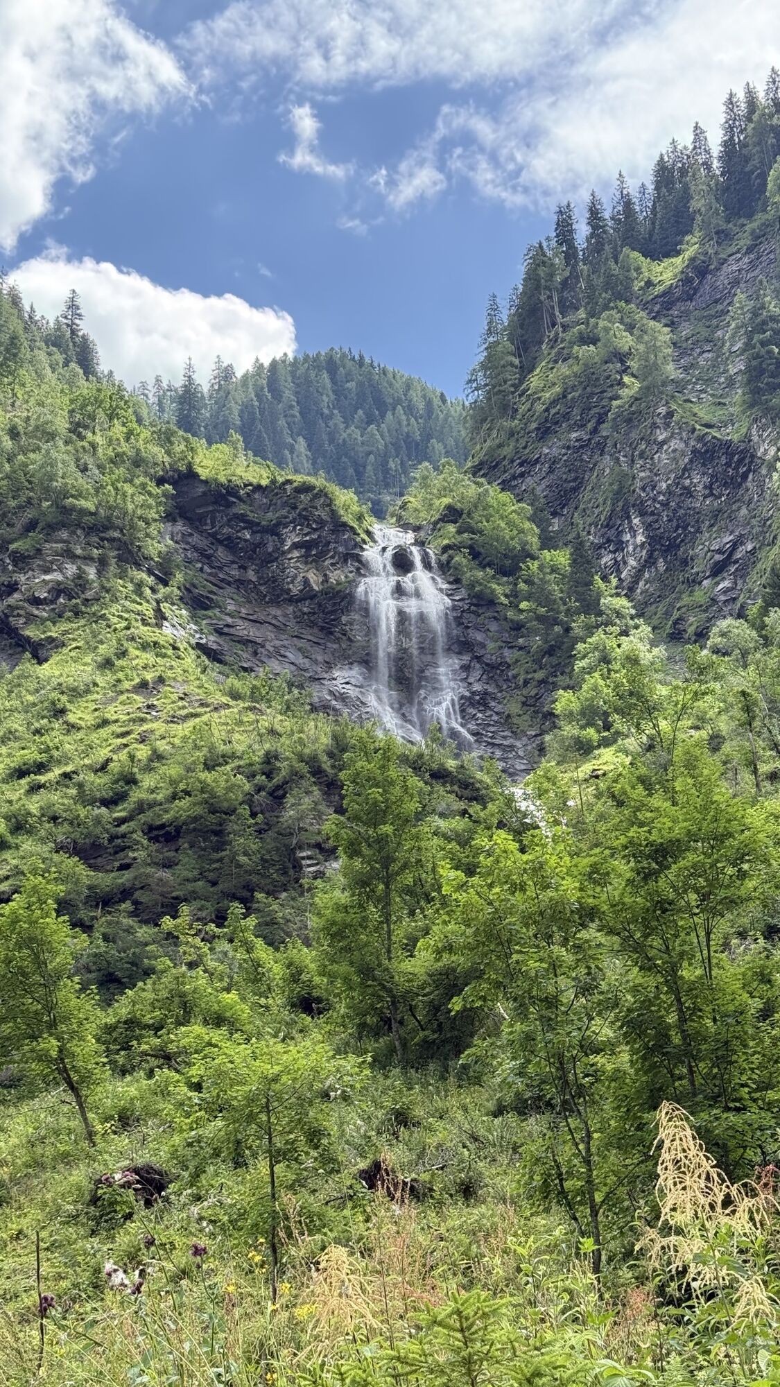
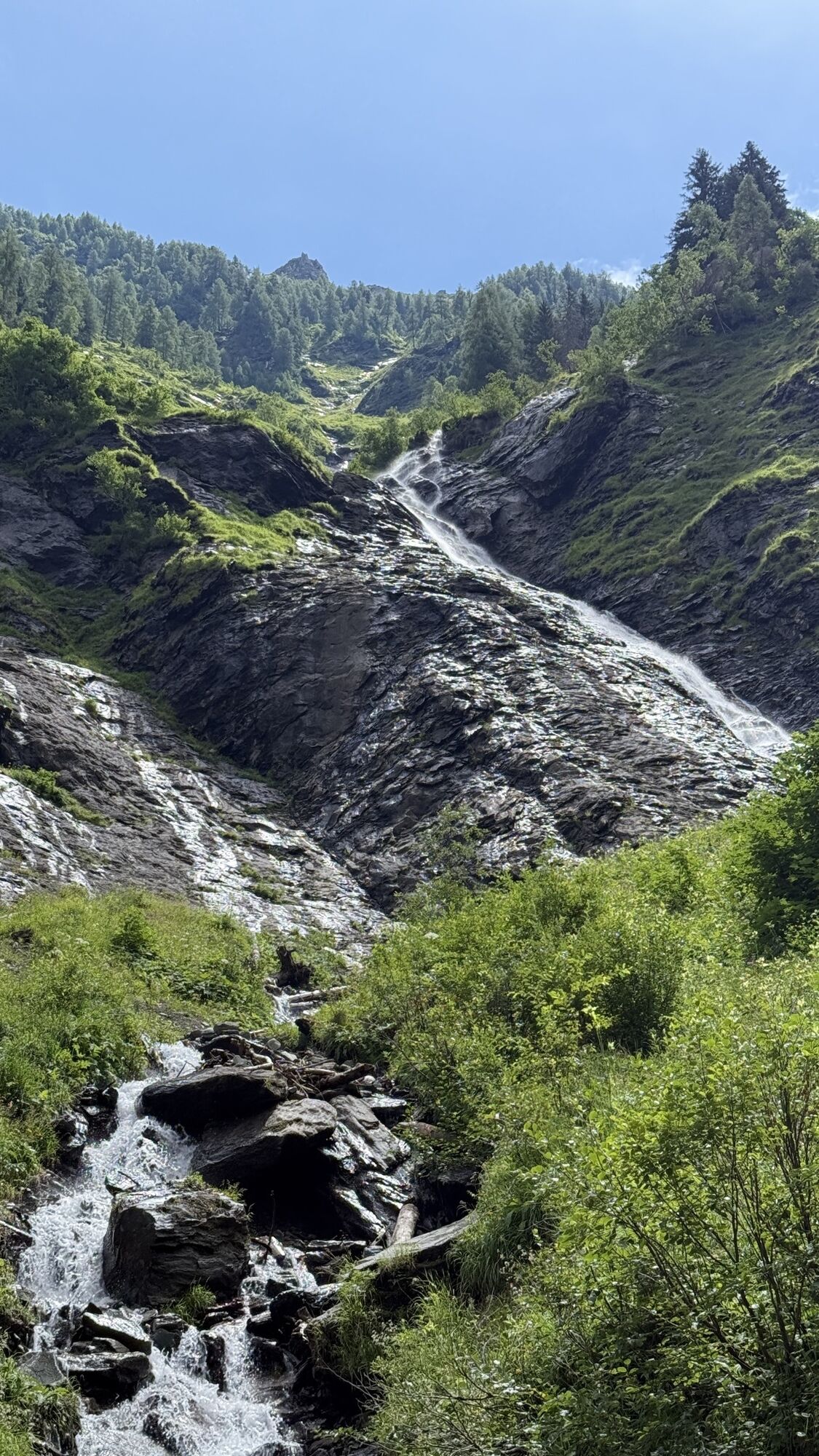
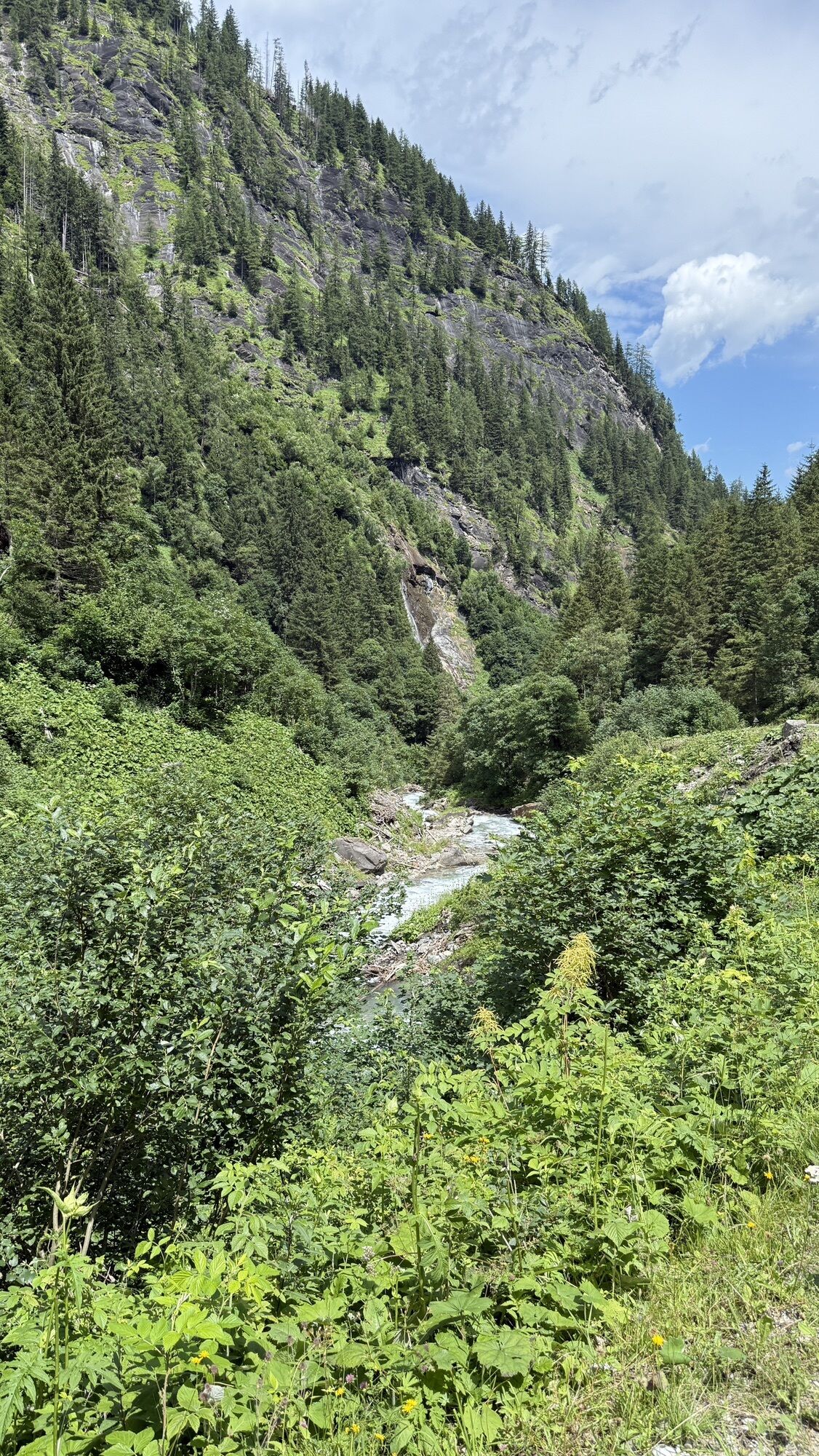

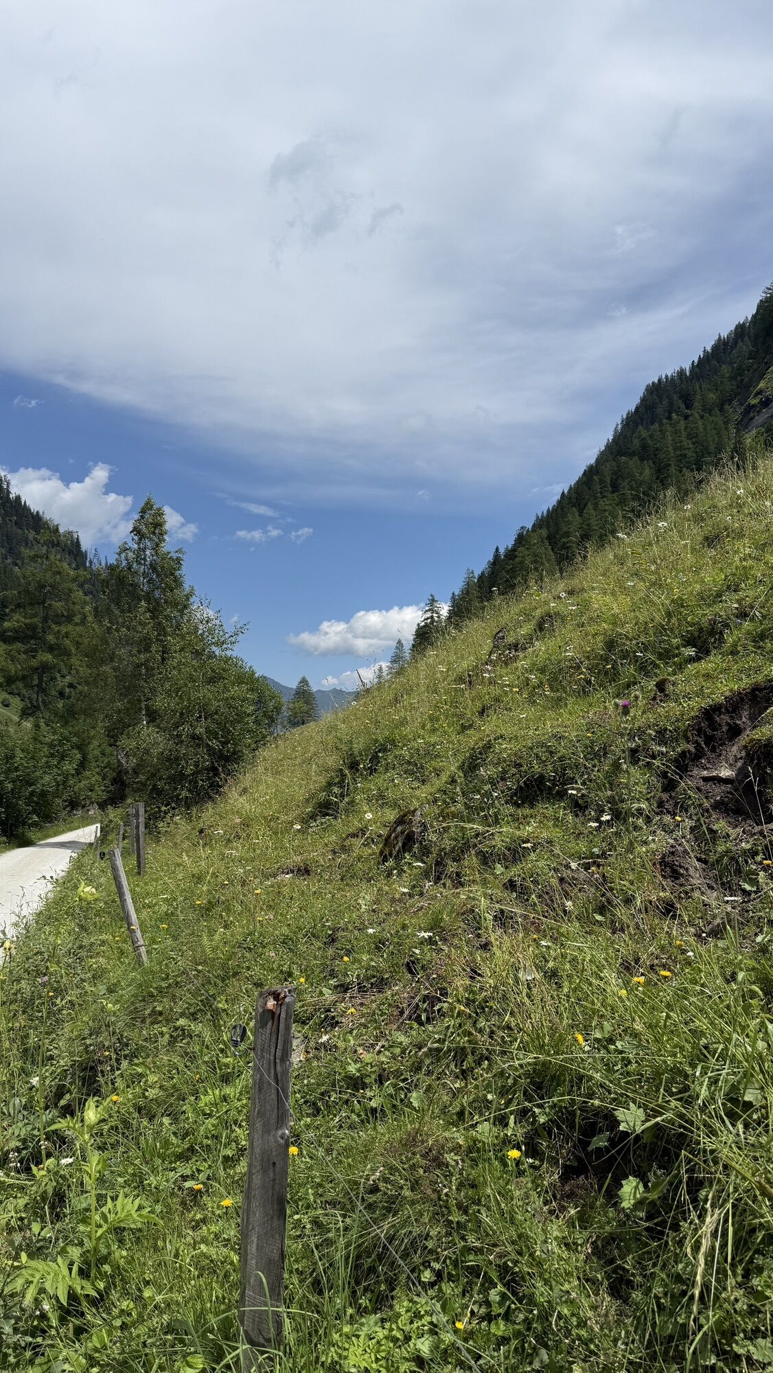
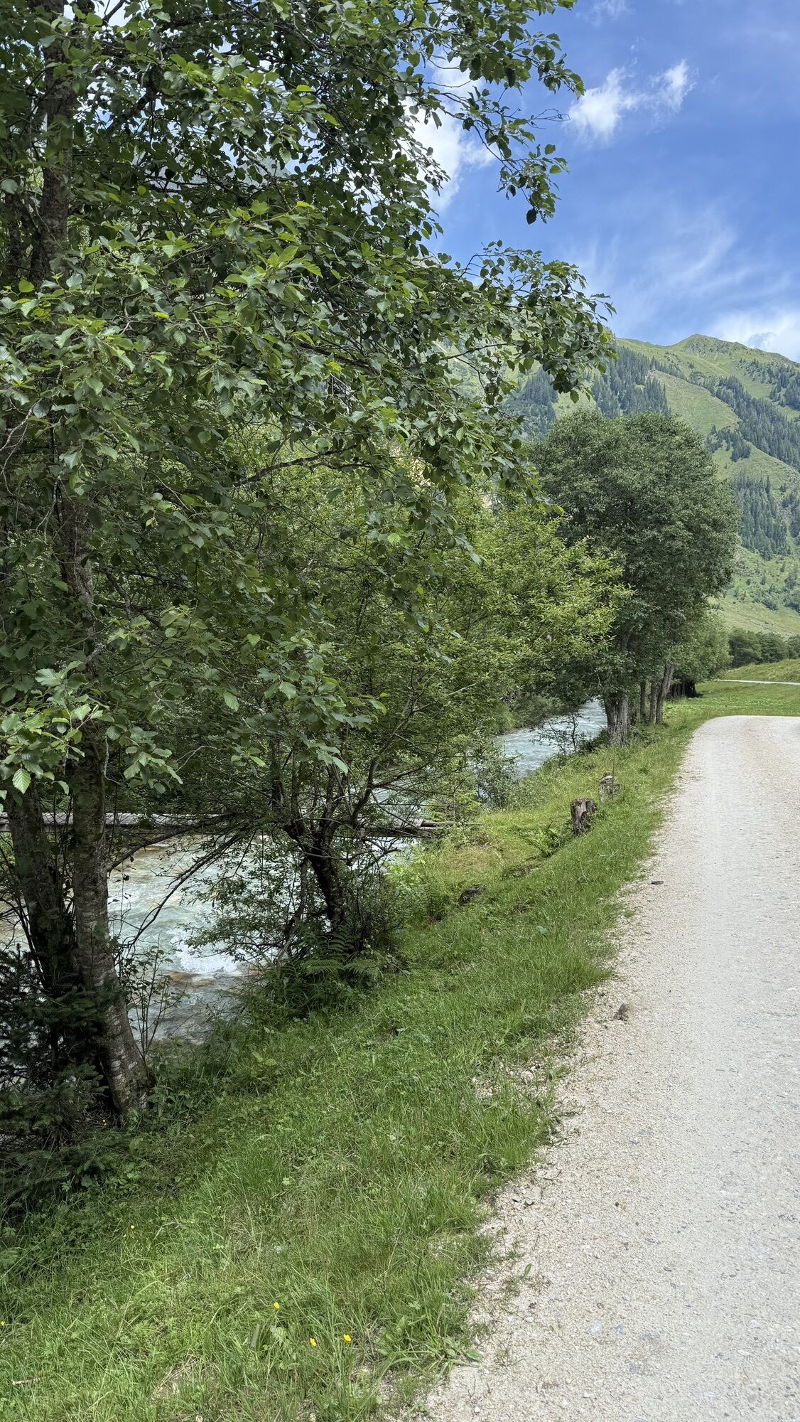
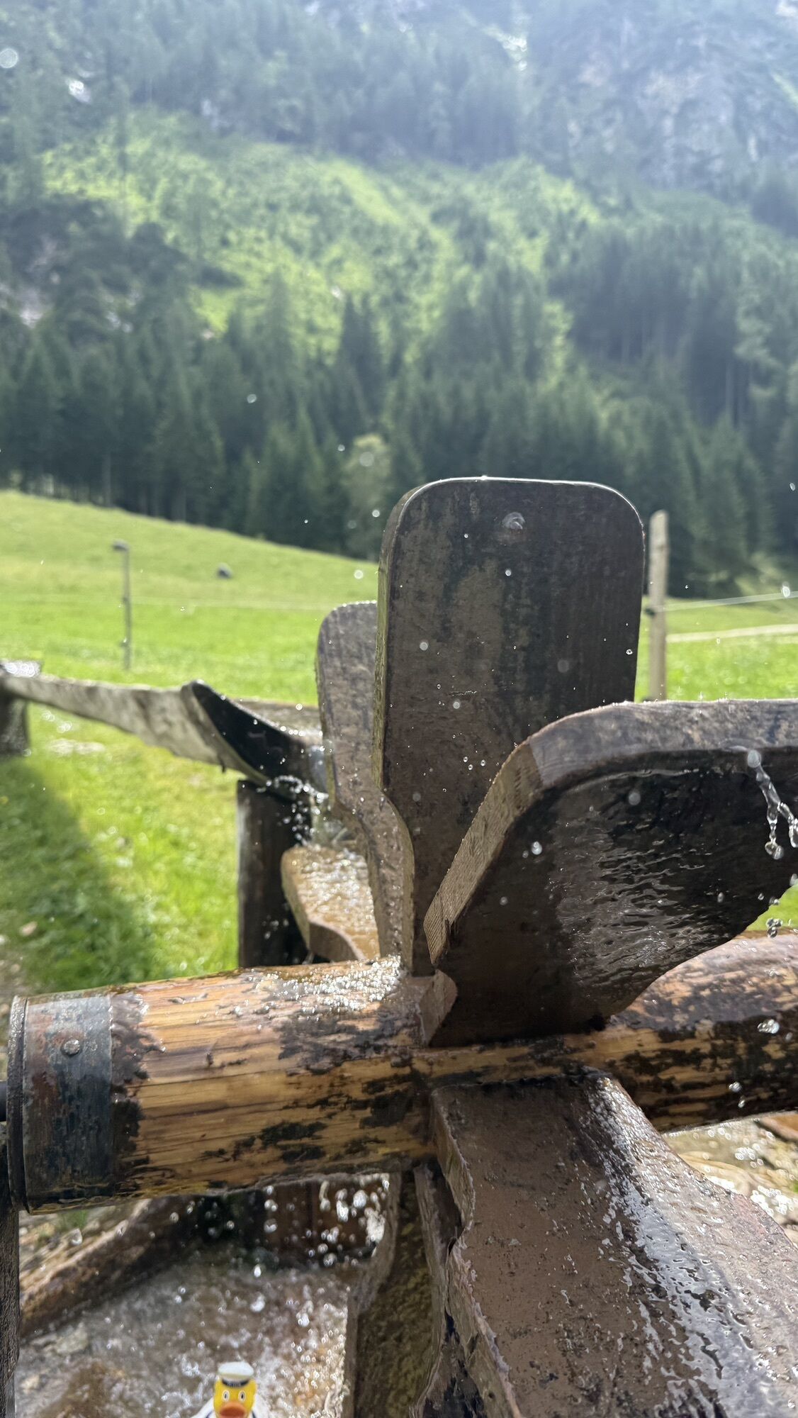
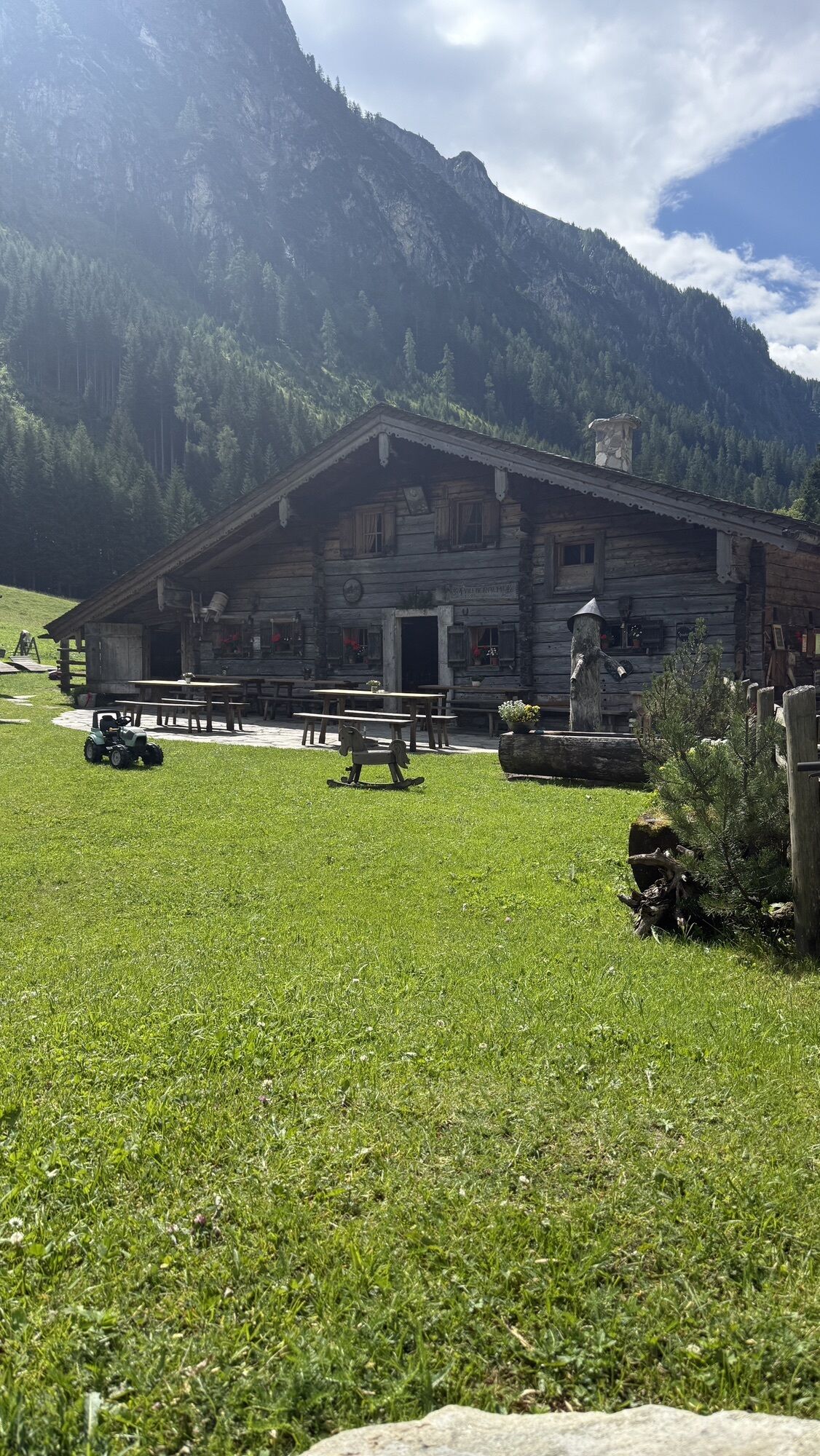
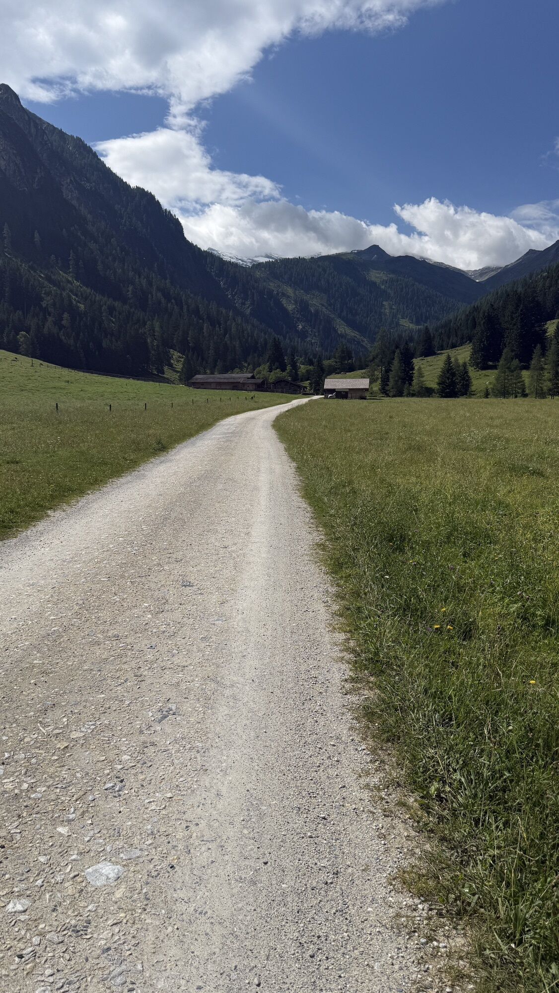
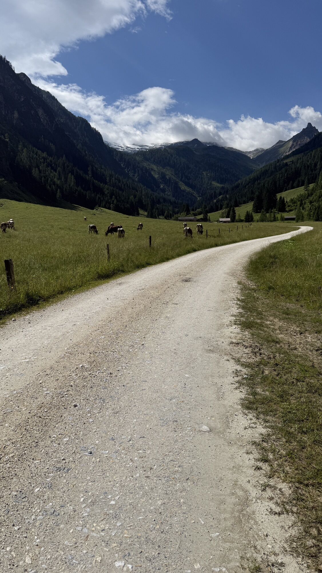

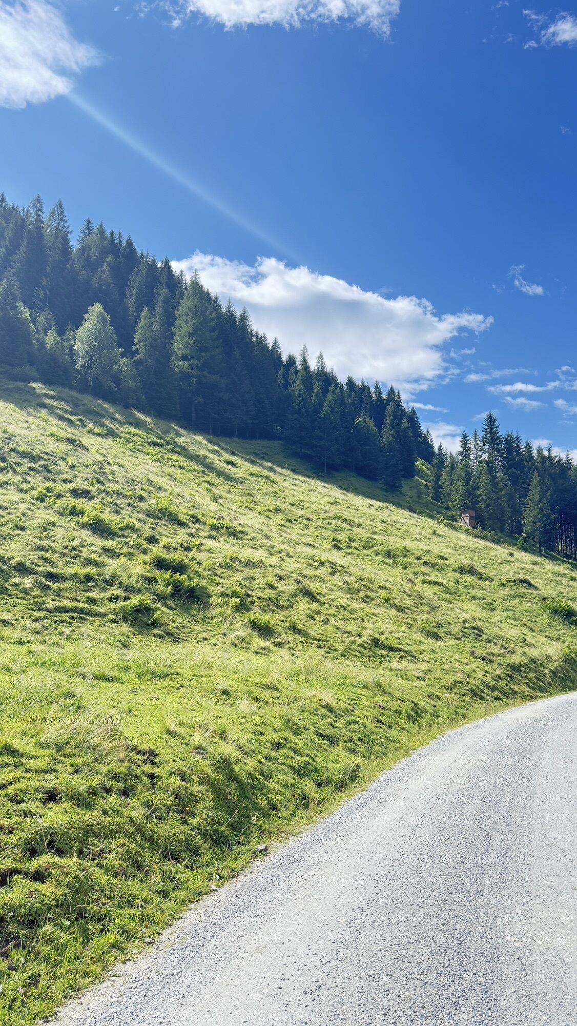
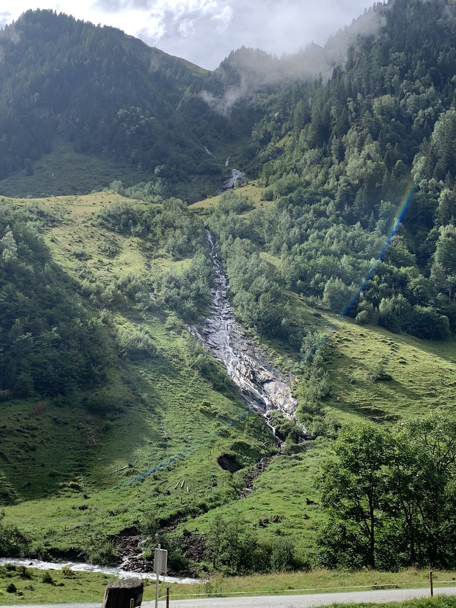
The third stage of the Hohe Tauern Bike Trail takes you from the idyllic mountain village of Embach – located on a plateau above the Salzach valley – via Rauris into the Seidlwinkl Valley. It is a valley...
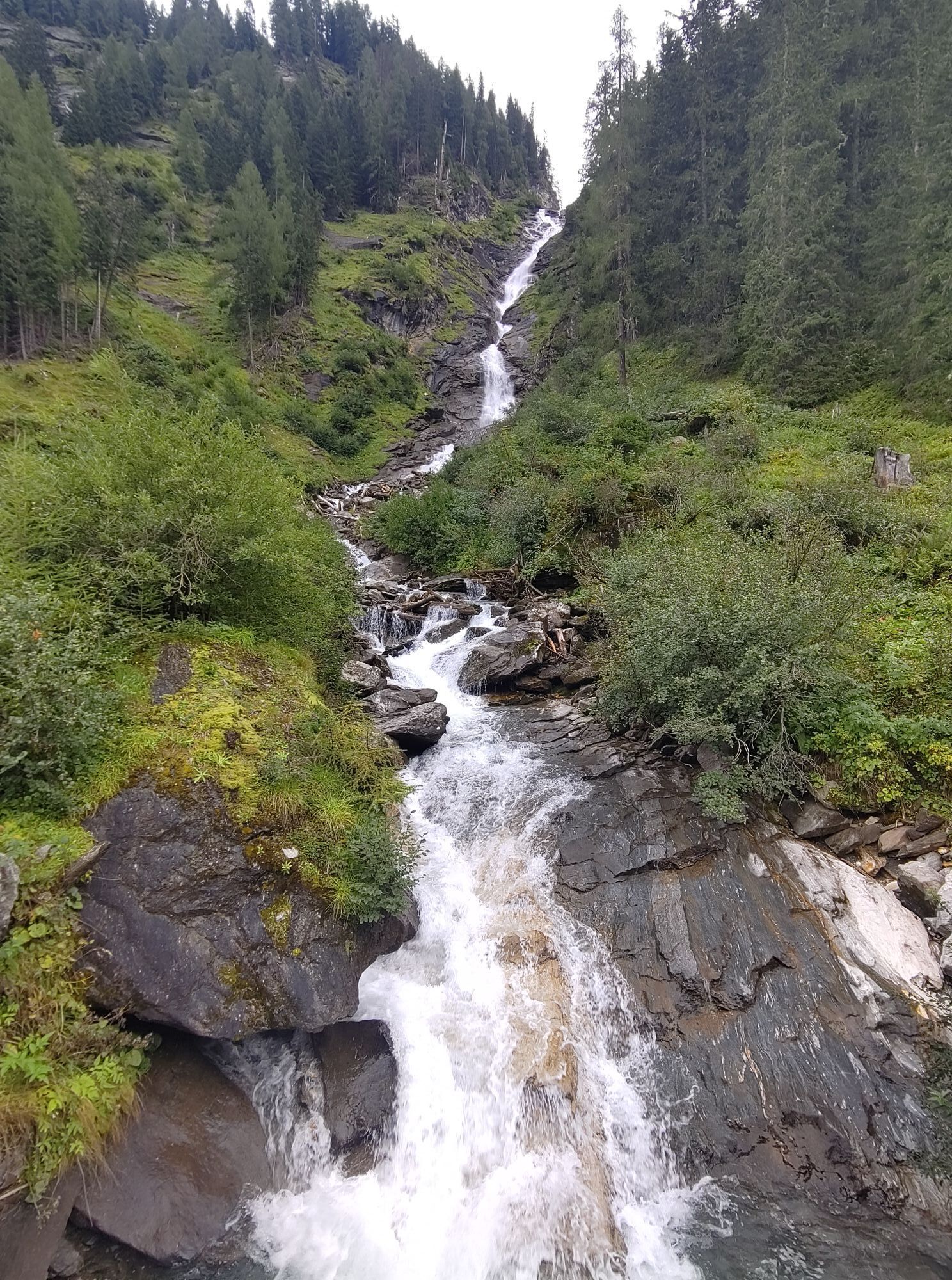
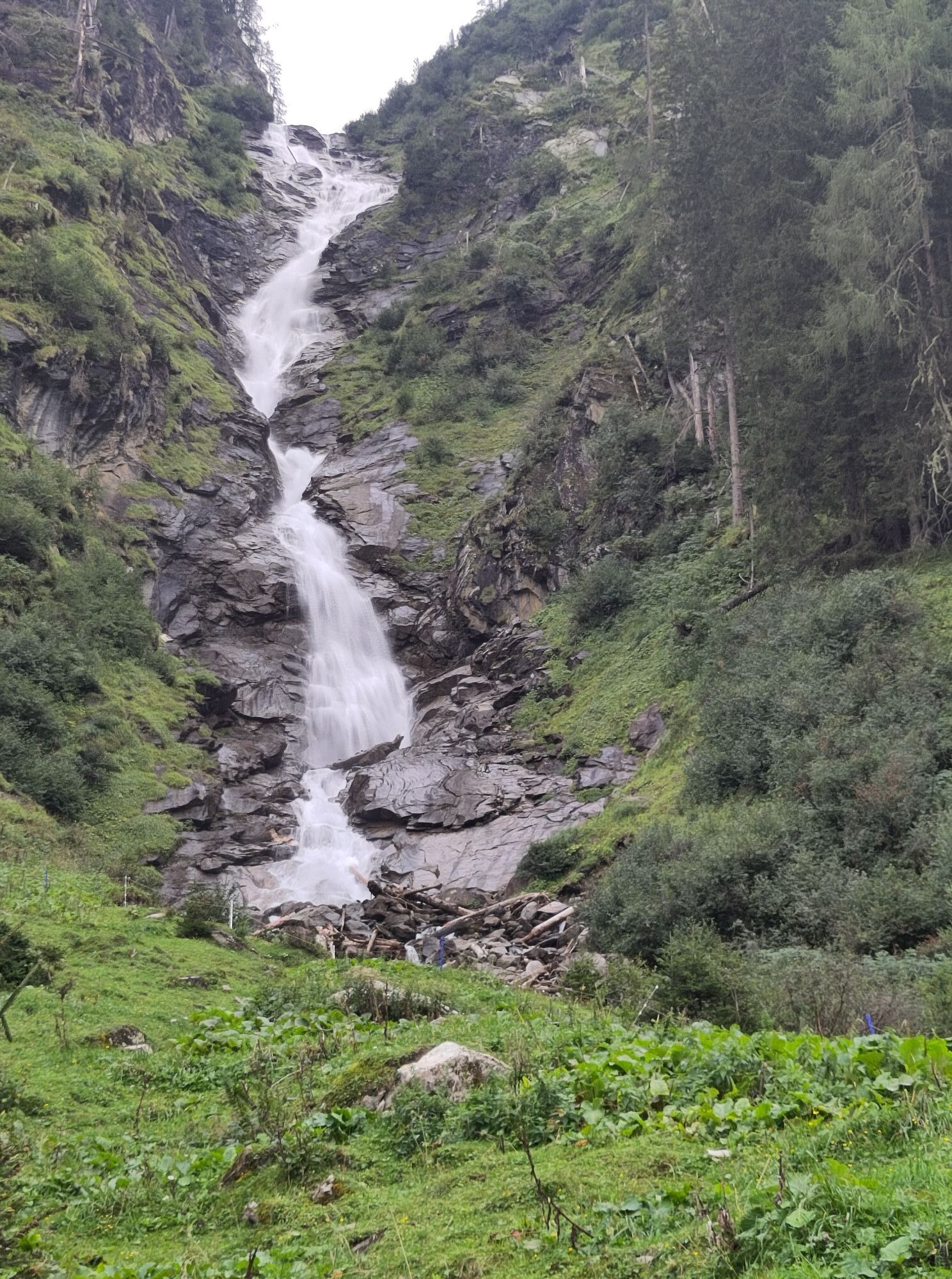
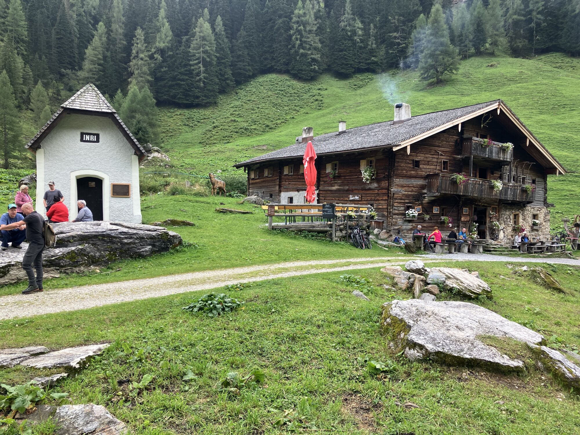
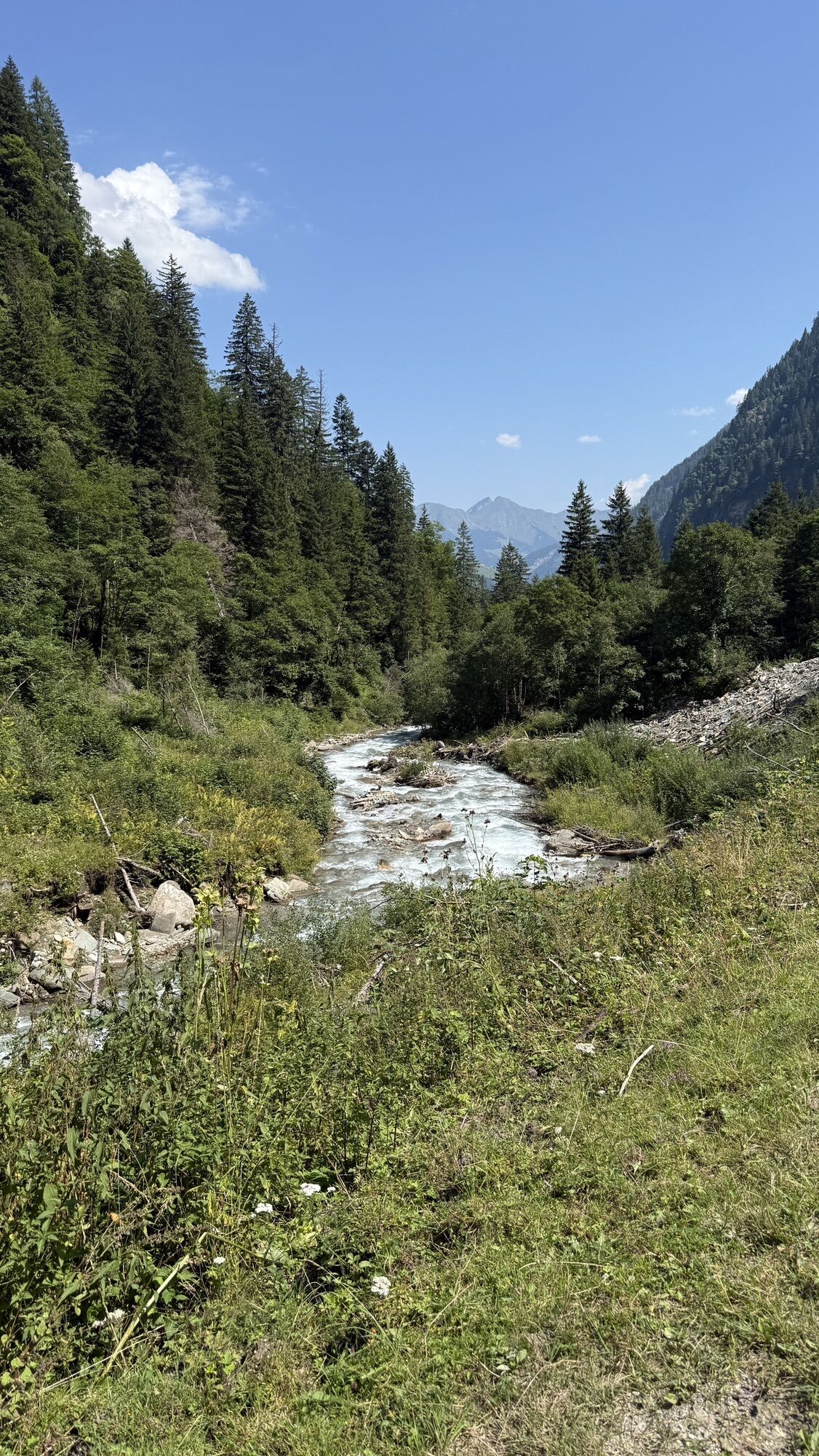
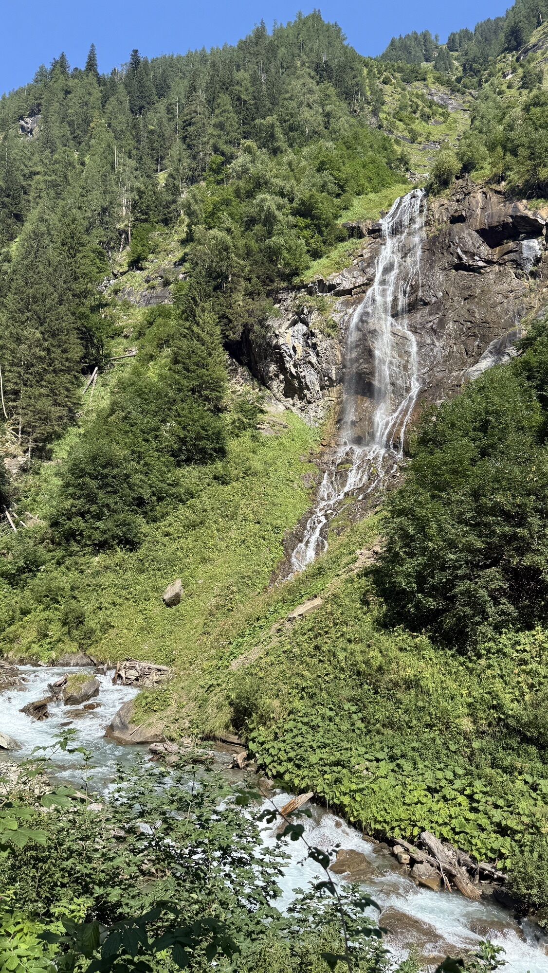
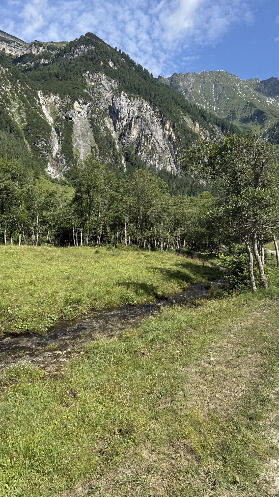
The Seidlwinkl Valley not only tells interesting stories, it is also incredibly idyllic. Clear streams, green meadows in the flat valley floor, and mountains over 3,000 meters high of the Hohe Tauern National Park. There are also rustic mountain huts and inns inviting you to stop, wooden benches, and chapels. Simply a valley where people have lived in harmony with nature and high mountain scenery for centuries. Then you return to the well-known mountain village of Rauris where you spend the night.
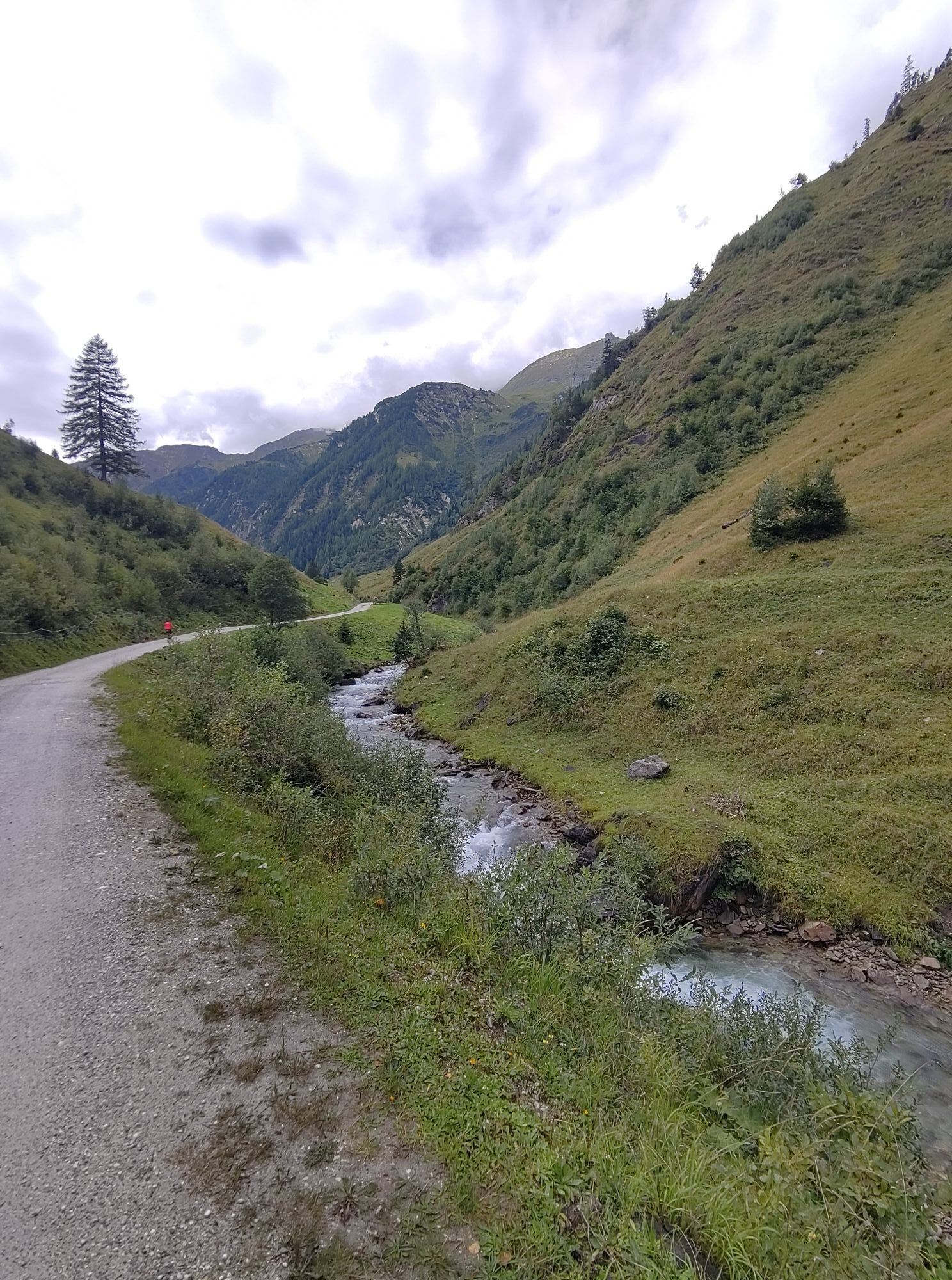
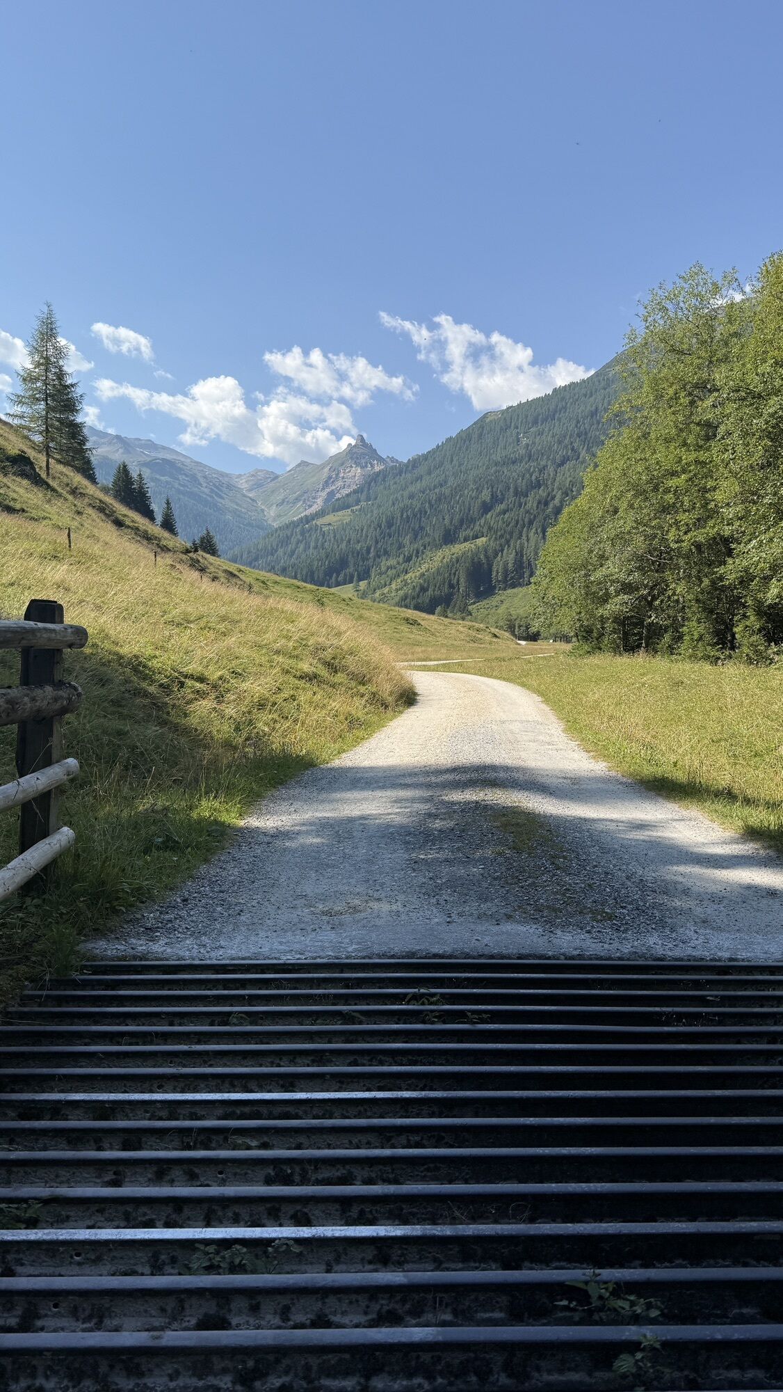
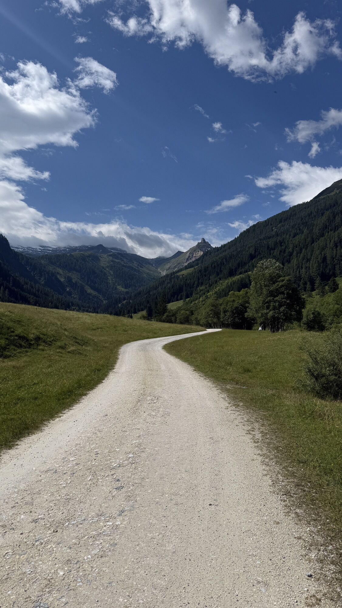
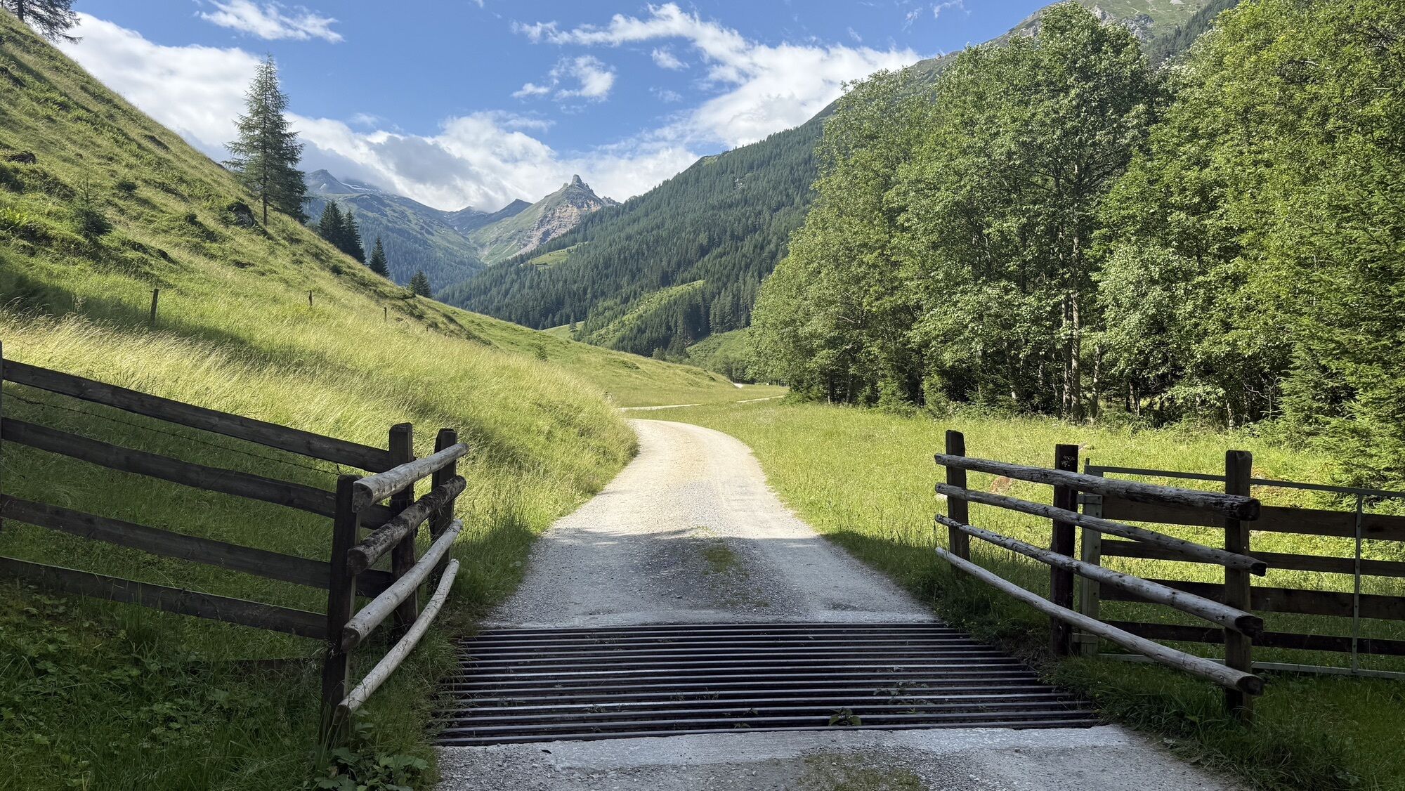
From a mountain bike or gravel bike perspective, the medium-length stage is technically easy: First, you ride on state roads (watch out for car traffic!) to Rauris and then continue via a bike path to Wörth, where the Seidlwinkl Valley branches off. The Seidlwinkl Valley itself is paved up to 1 kilometer before the traffic barrier before it continues – free of car traffic – on gravel roads to the Rauriser Tauernhaus. A delightful pleasure without overly steep sections – only about 100 meters of elevation have a steepness of about 15%.



Once there, you turn left onto the main road to Rauris and follow it for almost 3 km.
– ATTENTION: On these 3 km, caution is required due to relatively heavy and fast car traffic! After nearly 3 km, turn right towards Hundsdorf and follow the smaller road uphill through the hamlet and then downhill to the main road. Briefly right on the road, immediately turn left again towards Rauris and follow the road through the lovely mountain village (look forward to your evening walk here, as this is where you spend the night after the stage).
Once back on the main road, the cycle route continues a short distance along the main road towards the warehouse. There begins the especially scenic part of the tour: turn right onto Waidachweg and cycle away from road traffic towards Wörth.
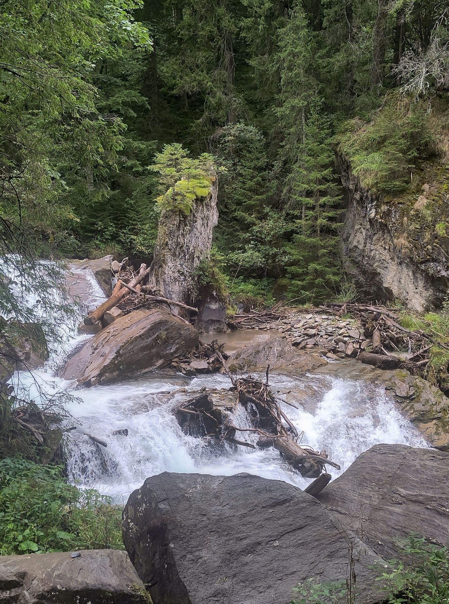
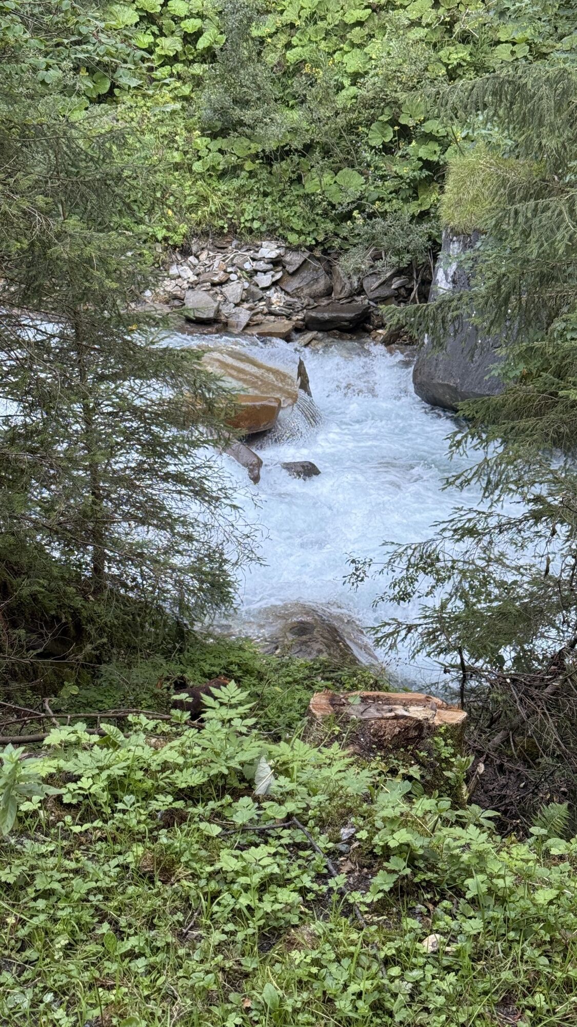
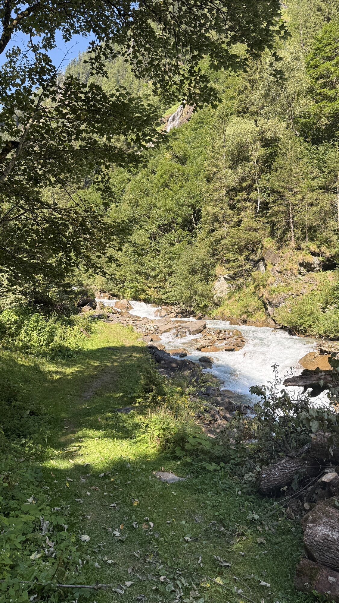
In Wörth opposite the Andrelwirt inn, turn right and enter the natural Seidlwinkl Valley. Here begins probably the most impressive part of the route: on a gently rising, paved road, the path leads into a narrow, romantically wild valley – always accompanied by the calming sound of the Seidlwinkl stream and the untouched beauty of the alpine surroundings.
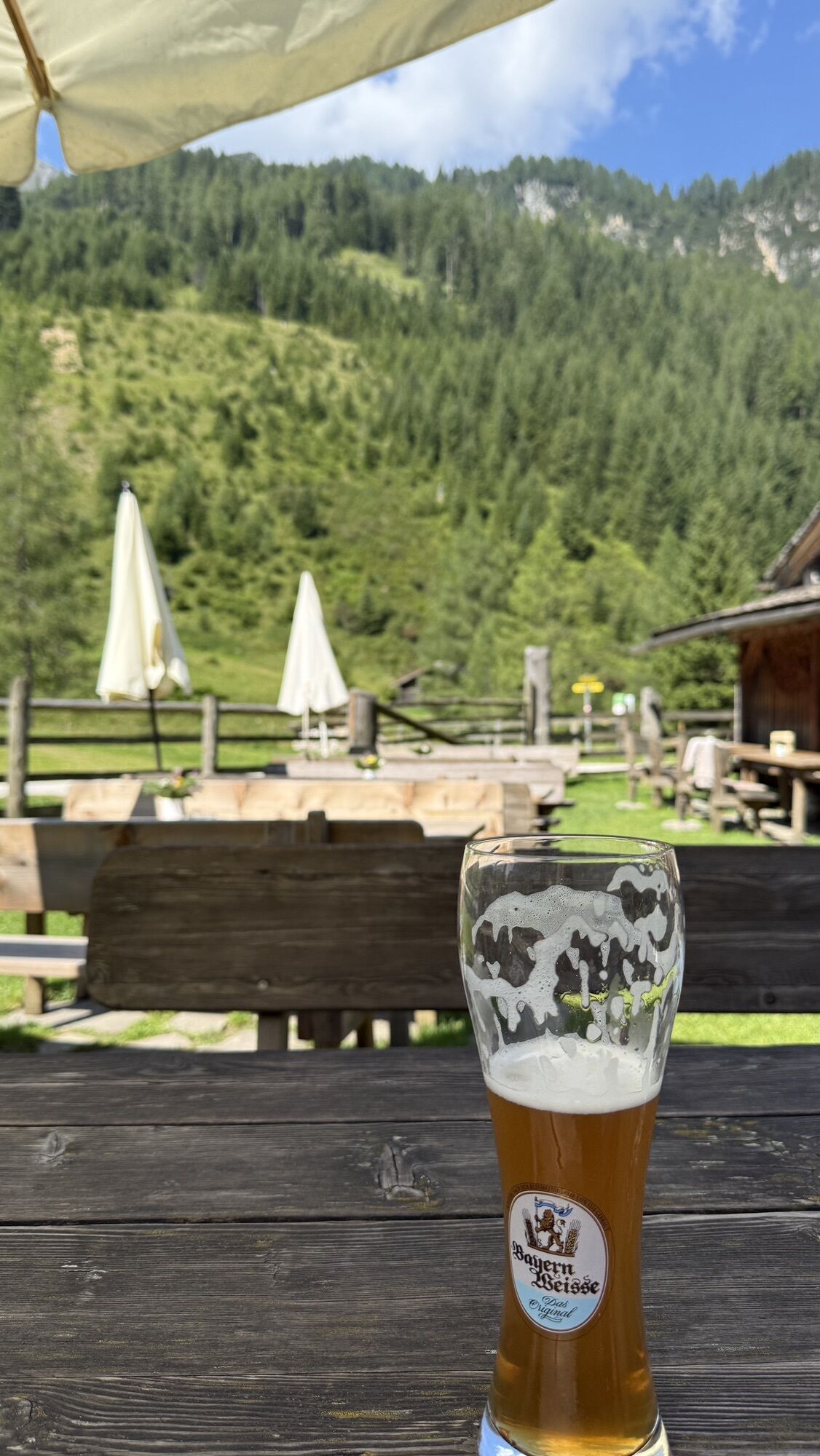
The small paved road leads to the cozy Weixen country inn, which with regional cuisine, an inviting terrace, and a fish pond directly on the path provides a well-deserved rest.
From the Weixen country inn, the surface of the small road changes from asphalt to gravel. Shortly after, you overcome a steeper section of about 100 meters with a gradient of up to 15%, before the gravel road continues with a gentle incline in a very enjoyable way past the Gollehenalm and the Palfneralm to the ancient Rauriser Tauernhaus.
This is the end of the official cycling route and thus your turning point in the Seidlwinkl Valley is reached. If you feel like it, you can still hike from here to the Litzelhofalm (see also "author tip"), or you can immediately (or after a rustic stop) return by the same way to Rauris.
Ano
Note: From Embach you ride directly on the state road to Rauris (CAUTION car traffic!)
Charging stations along the stage:
E-bike charging station Andrelwirt, Dorfstraße 19
E-bike charging station Weixen, Seidlwinklstraße 114
E-bike charging station Palfneralm
Refreshment options:
Pizzeria Langreiter (Embach)
Berggasthof Pilzegg (Embach)
Embacherhof (Embach)
Berggolfstüberl Reiterbauer (Embach)
Gasthof Neuwirt (Rauris)
Gasthof Platzwirt (Rauris)
Hoamatladen Snack Bar
Burgi's Cafe
Restaurant "das Albert" (Rauris)
Restaurant Sonnblick (Rauris)
Stadl Cafe (Rauris)
Wischtl-Hittn (Rauris
Gasthof Andrelwirt (Wörth)
Restaurant Gusto (Wörth)
Country inn Weixen (Seidlwinkl Valley)
Gollehenalm (Seidlwinkl Valley)
Palfneralm (Seidlwinkl Valley)
Tauernhaus (Seidlwinkl Valley)
The walking time from the Tauernhaus to the Litzelhofalm is about 40 minutes.

Webové kamery z prohlídky

Aktivity na trase

Rauris, Seidlwinkltal Rückfahrt PKW vom Parkplatz Fleckweide
30.10.2026 – čtyřkolka
Raurisertal Seidlwinkltal bis zum Tauernhaus
06.09.2026 – E-MTB
Raurisertal, Seitenwinkltal bis Tauernhaus
06.09.2026 – E-MTB
Rauris-Seidlwinkltal
29.08.2026 – Mountainbike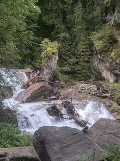
Rauris, Salzburg/Österreich
29.08.2026 – MountainbikeRauris, Salzburg/Österreich
28.08.2026 – TuristikaRauris, Salzburg/Österreich
14.08.2026 – Horská turistikaRauris, Salzburg/Österreich
06.08.2026 – E-MTBRauris, Salzburg/Österreich
05.08.2026 – Turistika
Seidelwinkltal bis Tauernhaus
02.08.2026 – E-MTB
Rauris, Salzburg/Österreich
29.07.2026 – MountainbikeRauris, Salzburg/Österreich
29.07.2026 – Mountainbike
Rauris, Salzburg/Österreich
28.07.2026 – Jízda na koleRauris, Salzburg/Österreich
28.07.2026 – Jízda na kole
Rauris, Salzburg/Österreich
14.07.2026 – Turistika

Rauris, Palfneralm 24 km
13.07.2026 – Elektrokola
Rauris, Salzburg/Österreich
10.07.2026 – Turistika
Rauris, Salzburg/Österreich
25.06.2026 – MountainbikeRauris, Salzburg/Österreich
18.06.2026 – ElektrokolaRauris, Salzburg/Österreich
25.05.2026 – Turistika
Oblíbené prohlídky v okolí
- 4.8
Kaiser-Franz-Josefs-Höhe to Oberwalderhütte
heavyTuristika 5.52 km - 4.7
Geotrail Tauernfenster
světloTuristika 5.90 km - 4.9
Silberpfennig, Salzburger Land/Österreich
středníTuristika 13.8 km - 4.5
Glacier Route to the Pasterze with Gamsgrubenweg (up to Tunnel 6)
středníTuristika 8.05 km - 4.8
Türchlwand von der Bergstation Schlossalmbahn Bad Hofgastein, Österreich
středníHorská turistika 7.05 km - 4.8
Hohe Sonnblick Up
heavyTuristika 9.14 km - 4.8
Rifflscharte - Kolmkarscharte - Bockhartscharte - Sportgastein
středníTuristika 13.5 km - 4.9
Schareck über Ostgrat
heavyVysokohorská turistika 13.3 km - 4.5
Spielmann
středníTuristika 9.48 km - 5.0
Wasserfallboden/Mooserboden
heavyTuristika 19.5 km
Pěší turistika a stopování


Nenechte si ujít nabídky a inspiraci pro vaši příští dovolenou
Vaše e-mailová adresa byl přidán do poštovního seznamu.


