







Spielmann

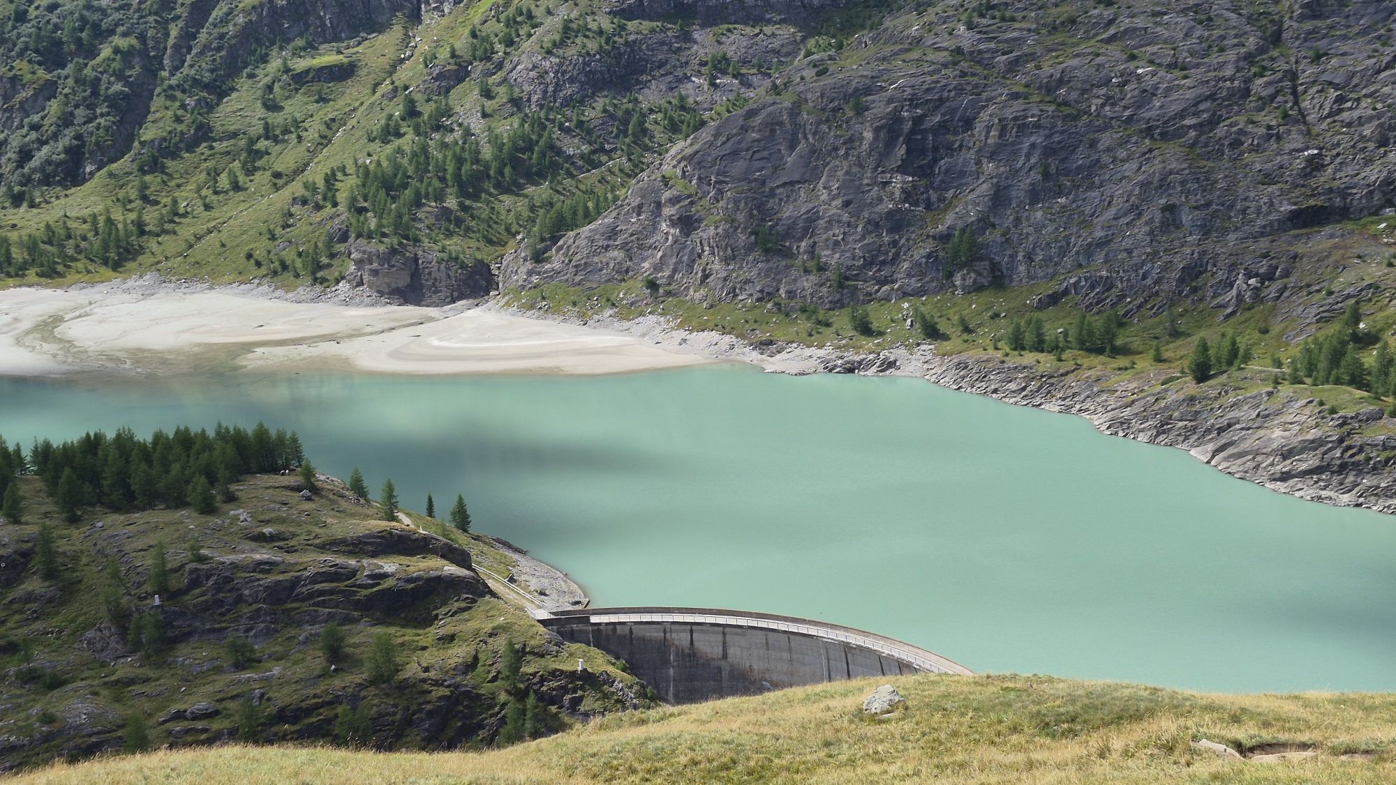
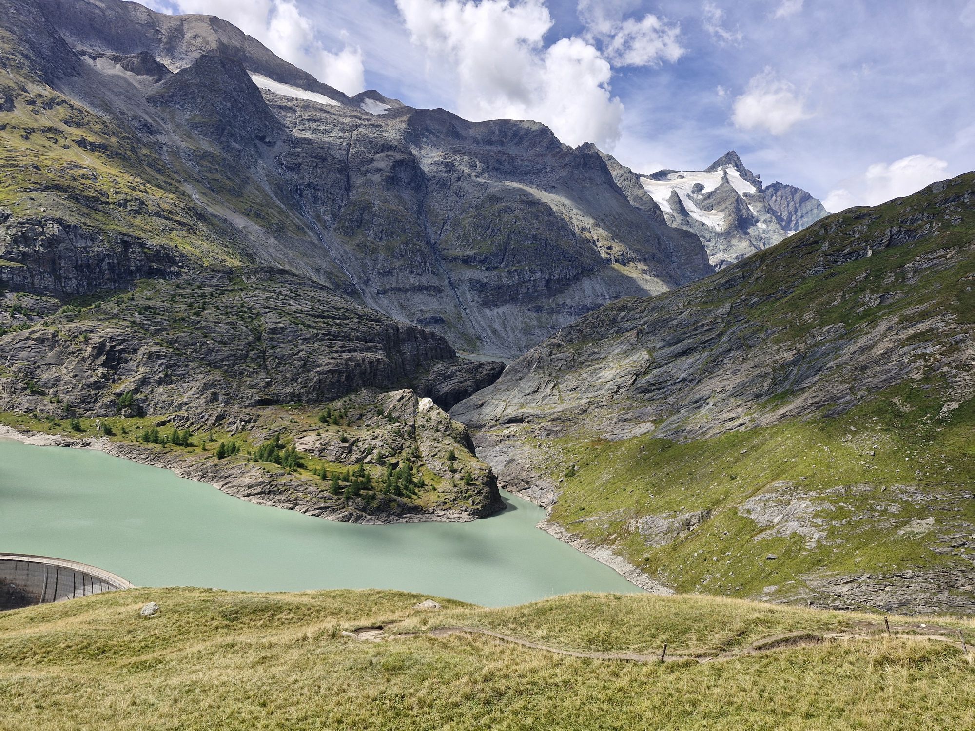
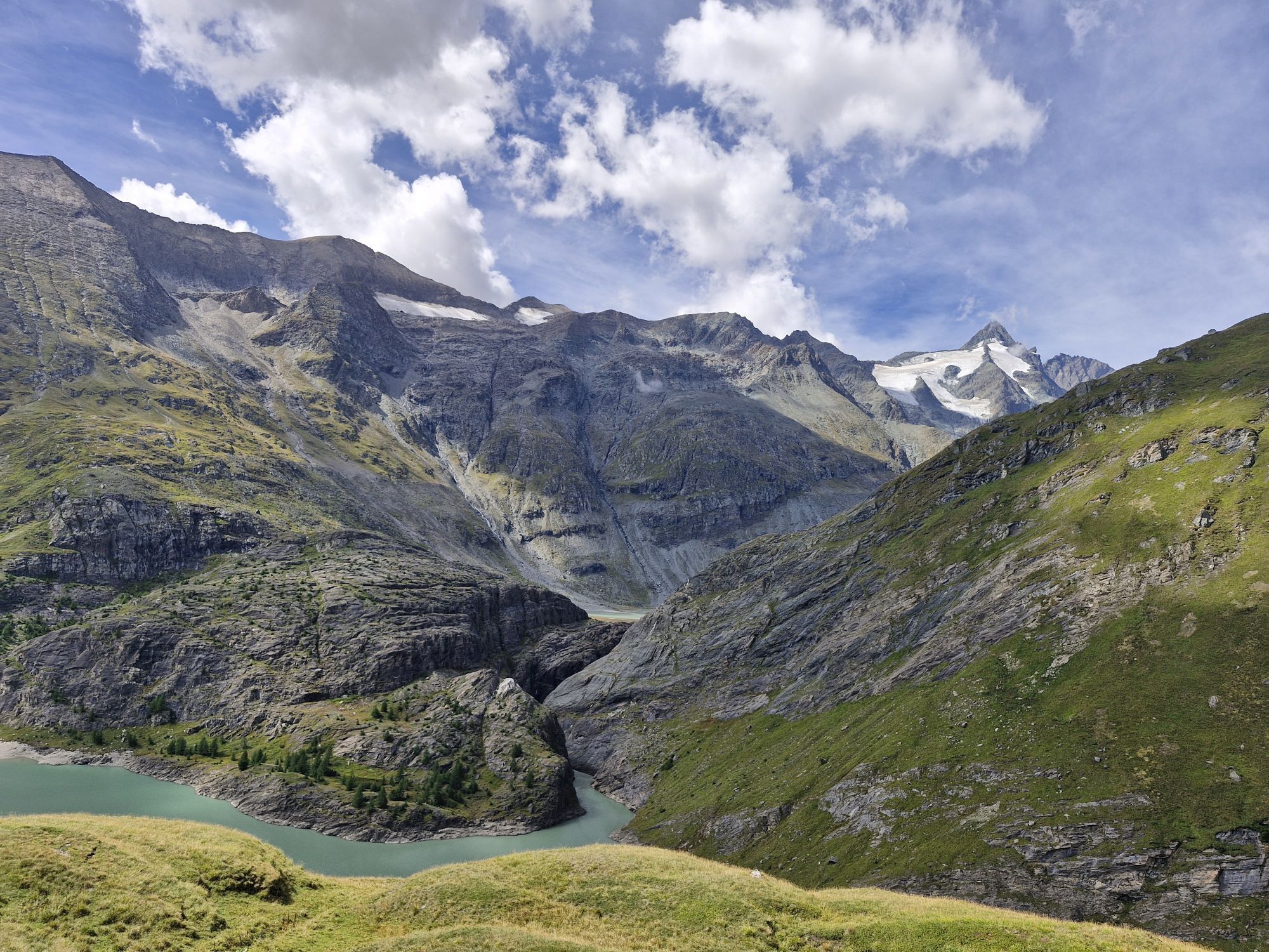
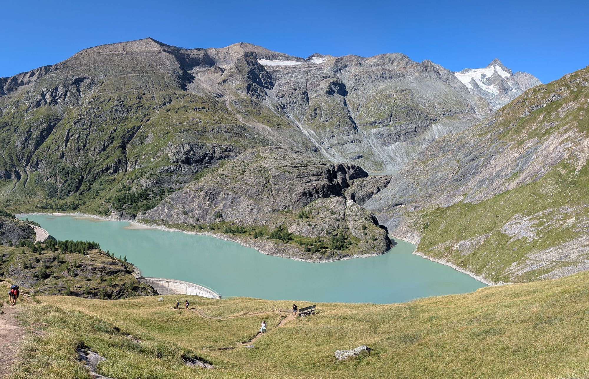
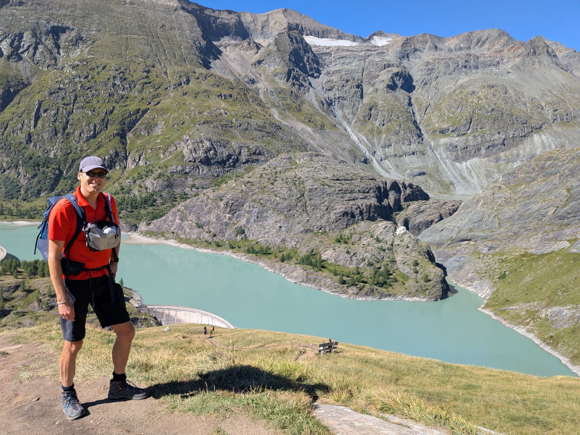
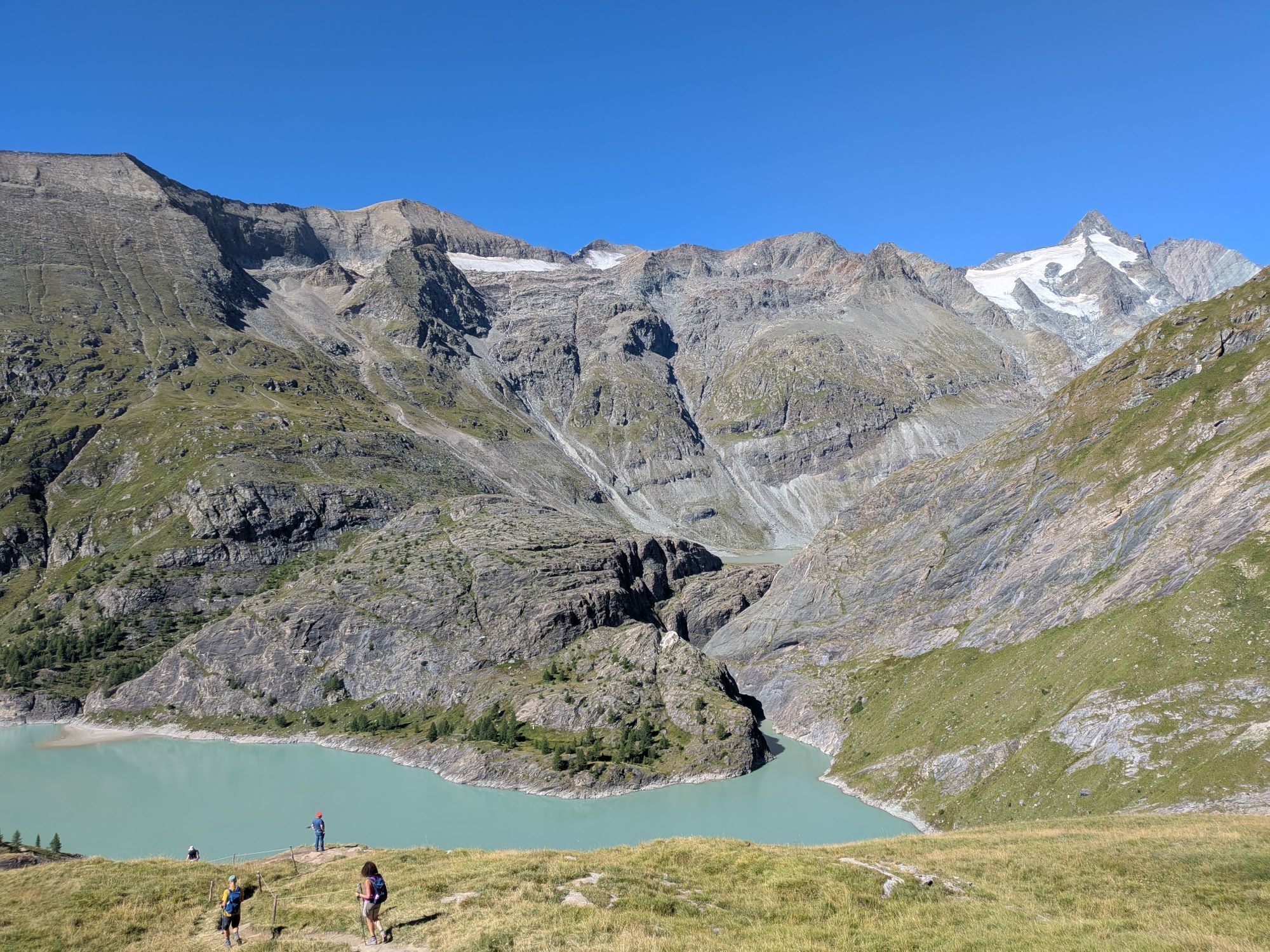
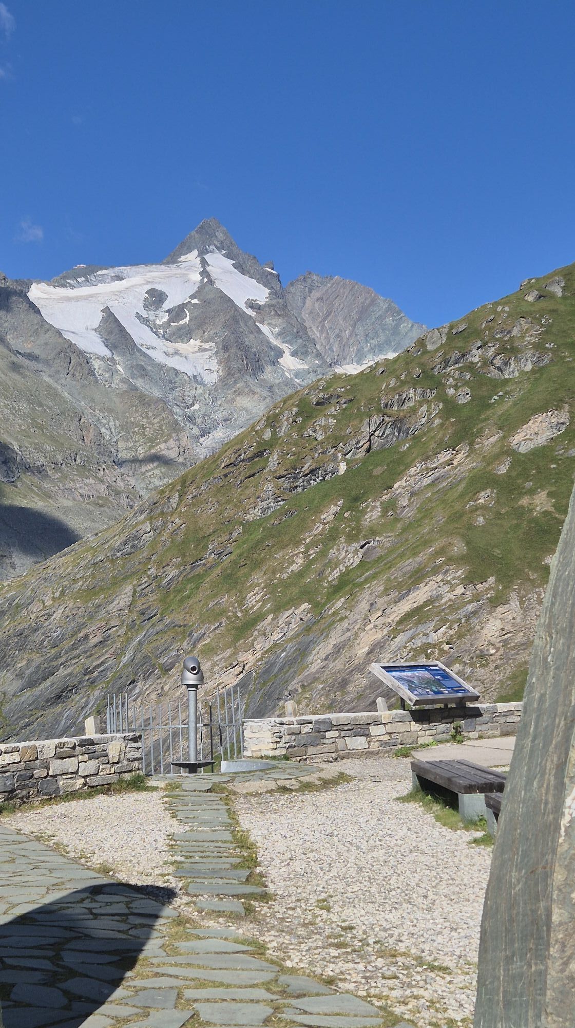
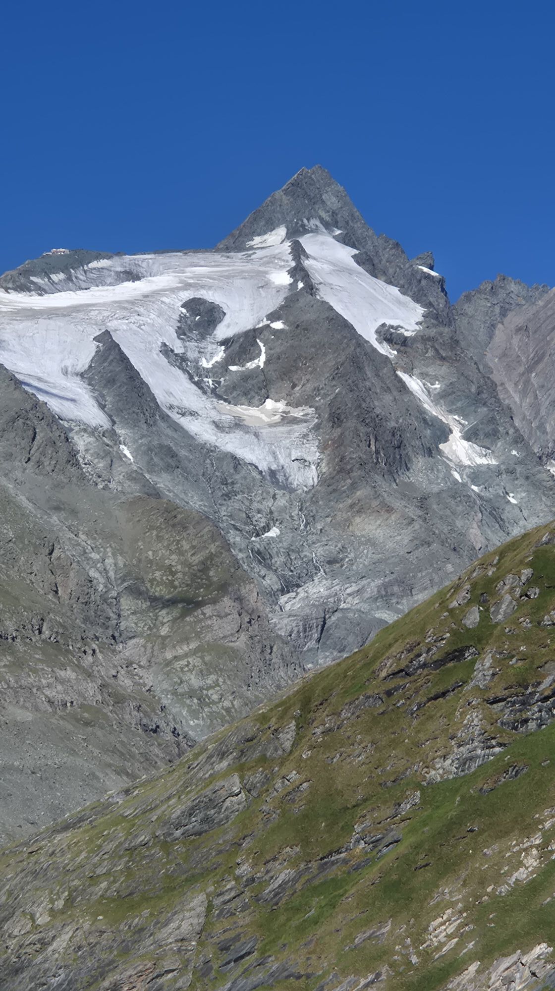
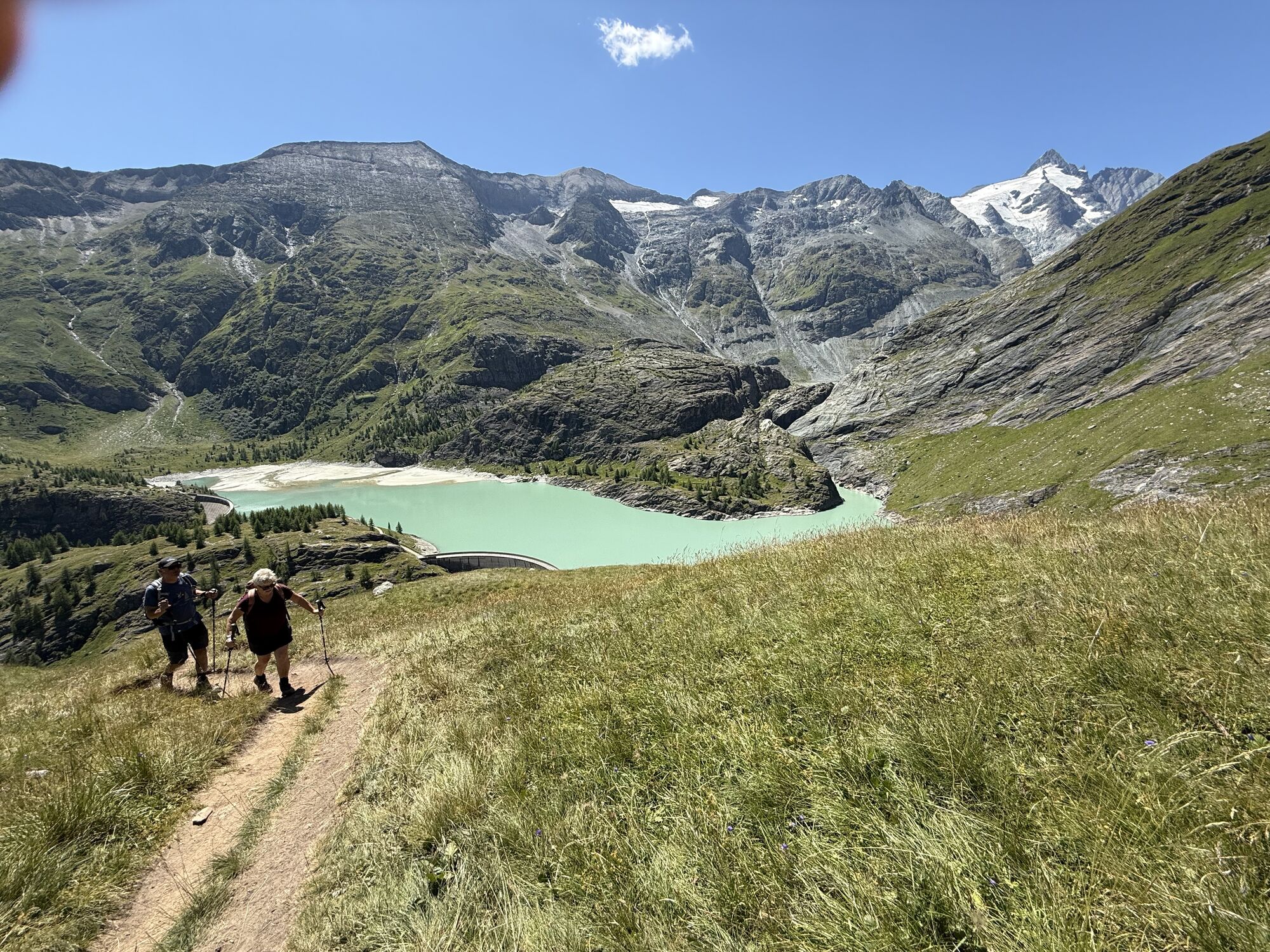
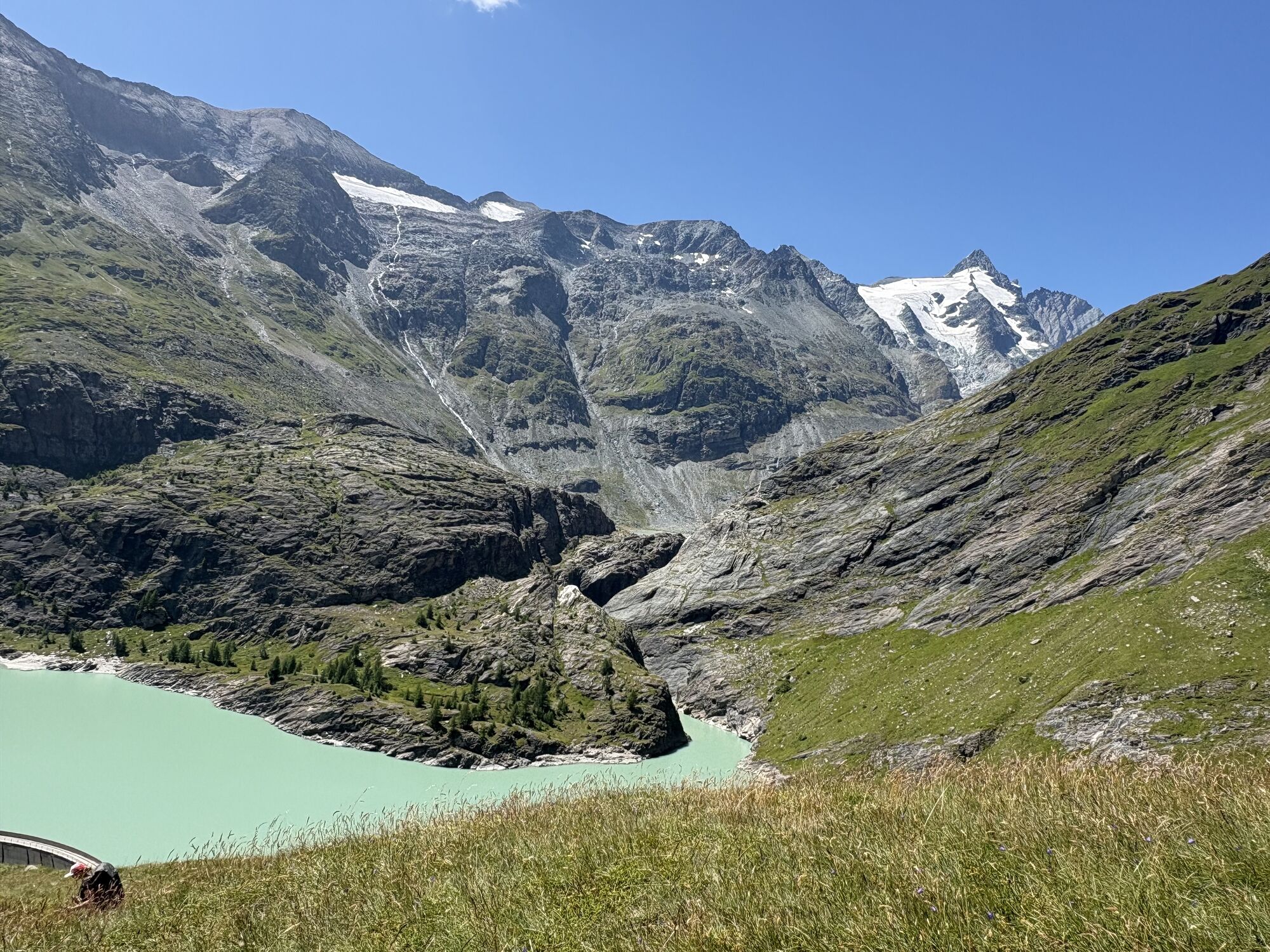
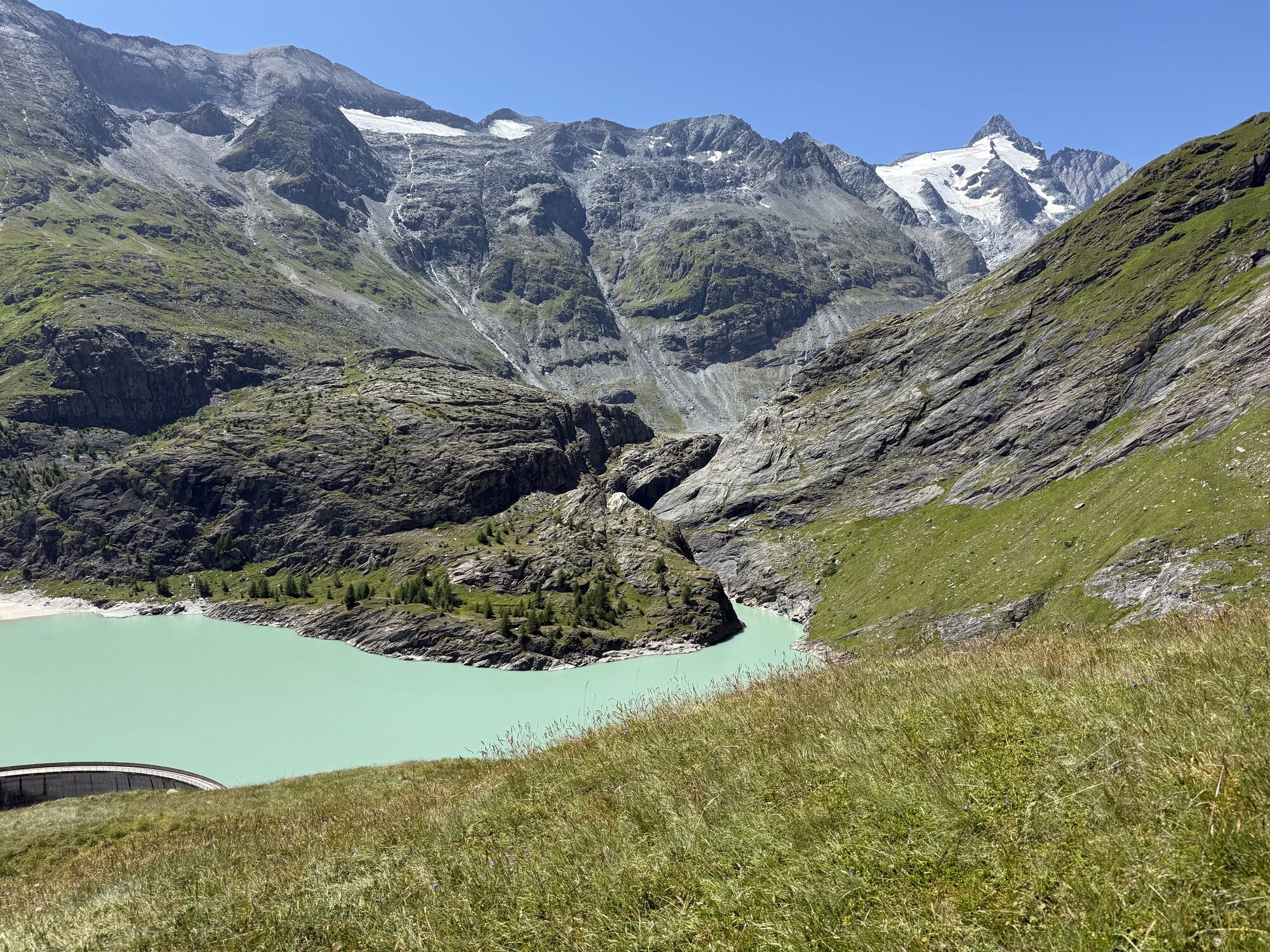
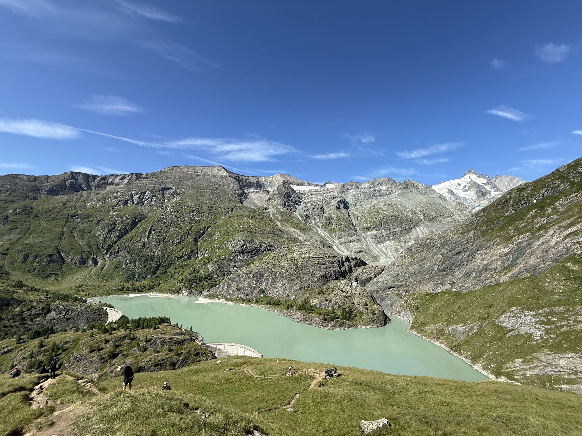
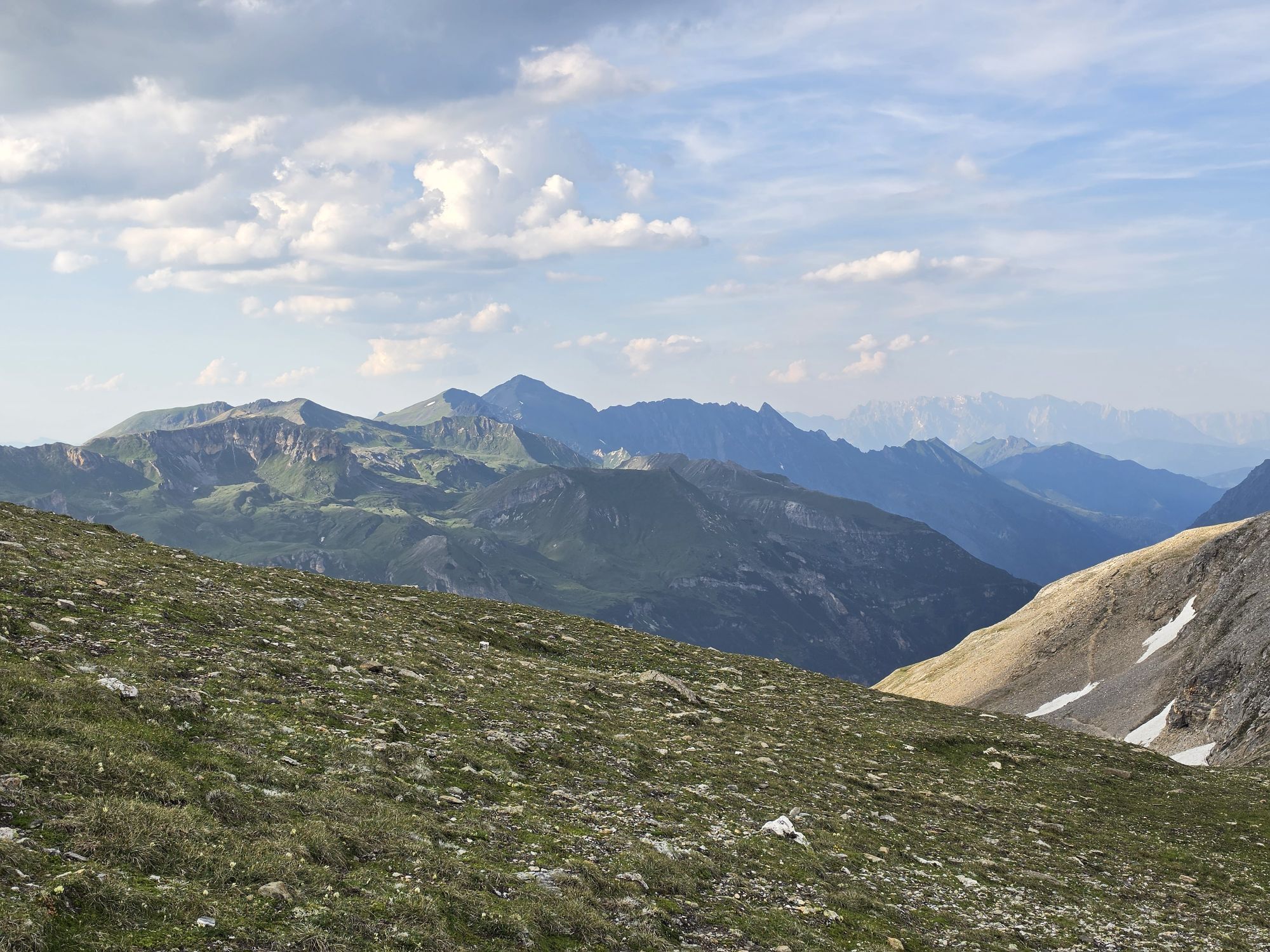
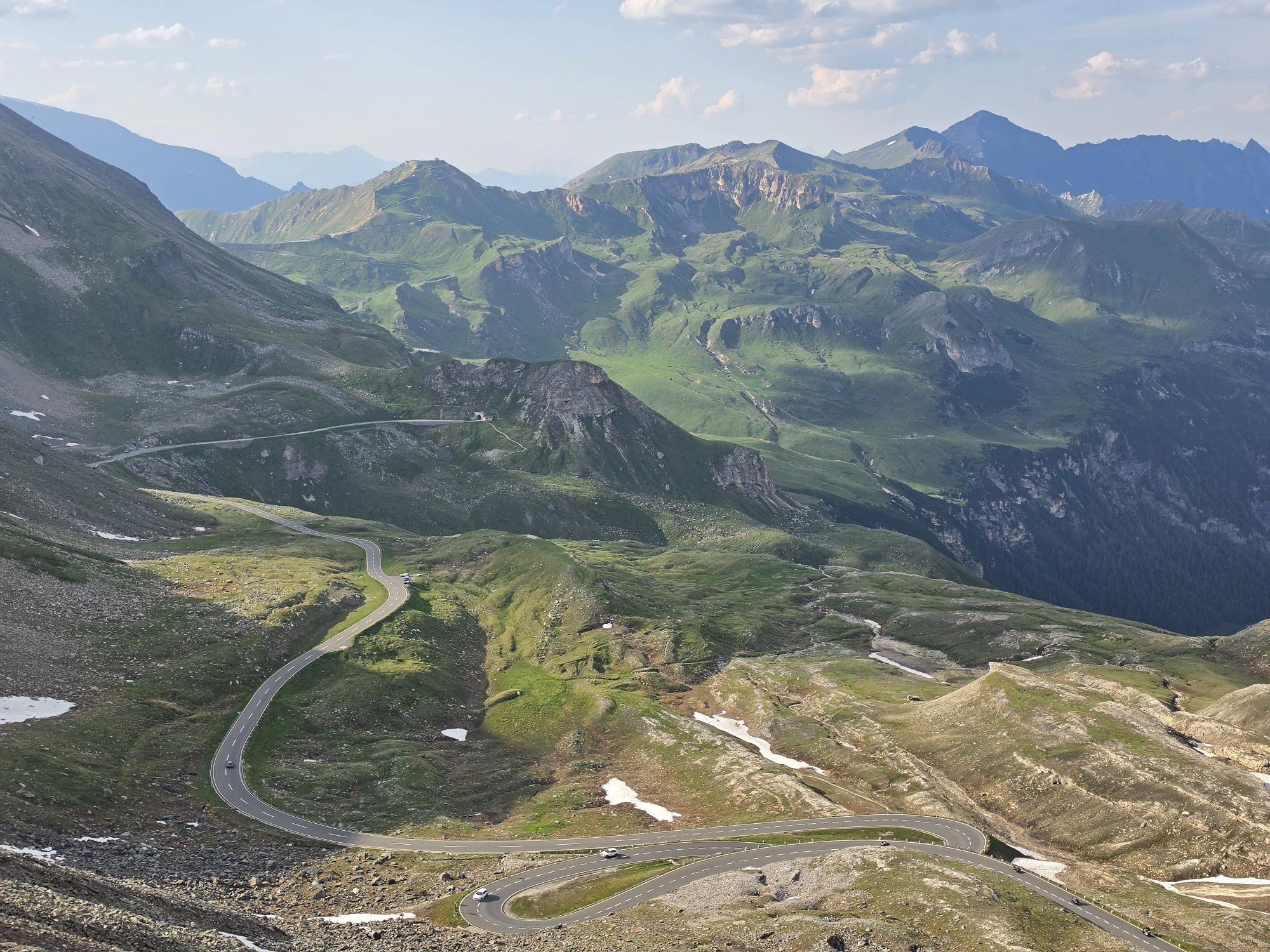
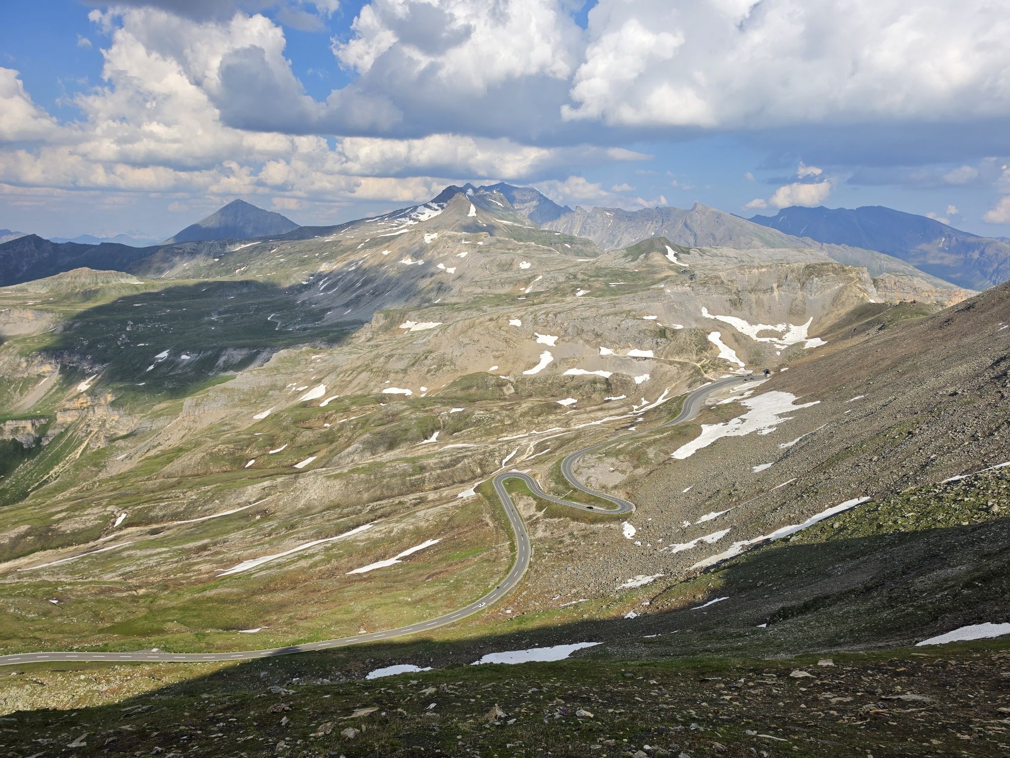
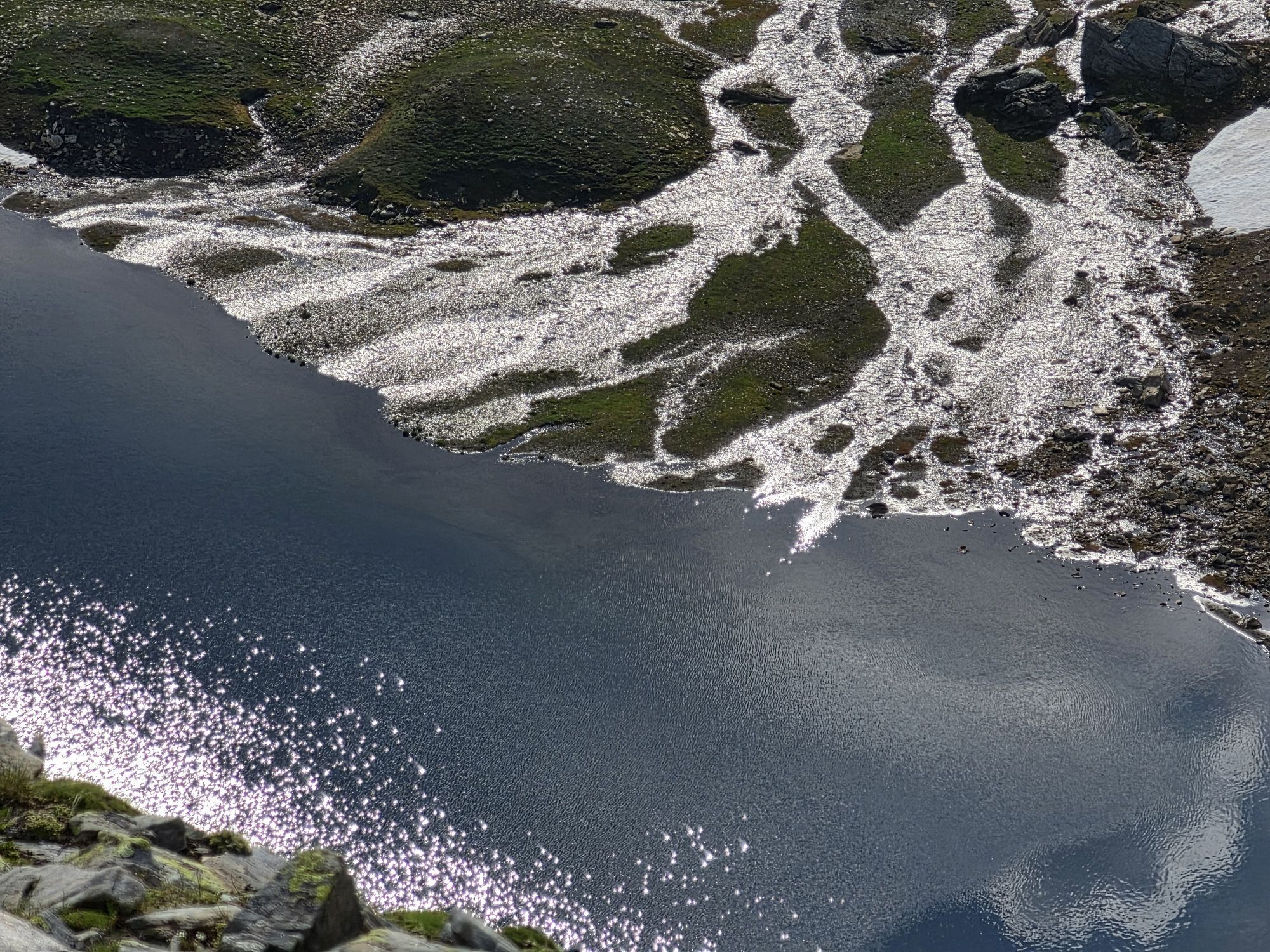
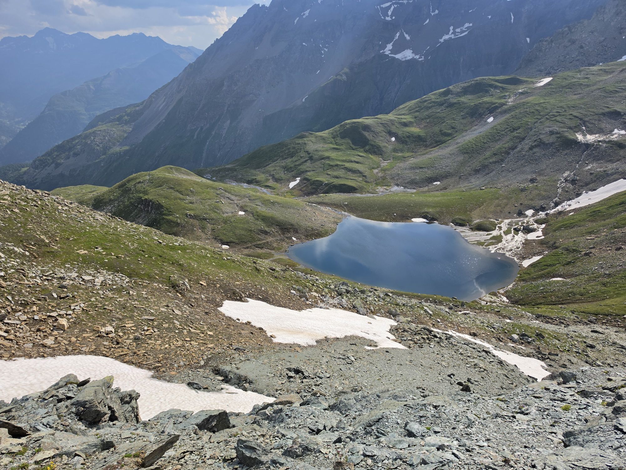
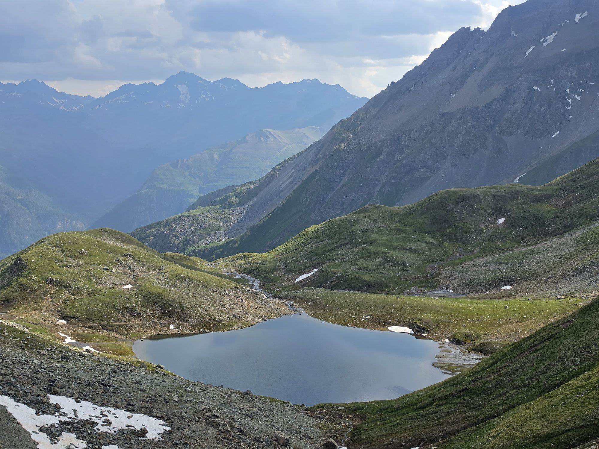
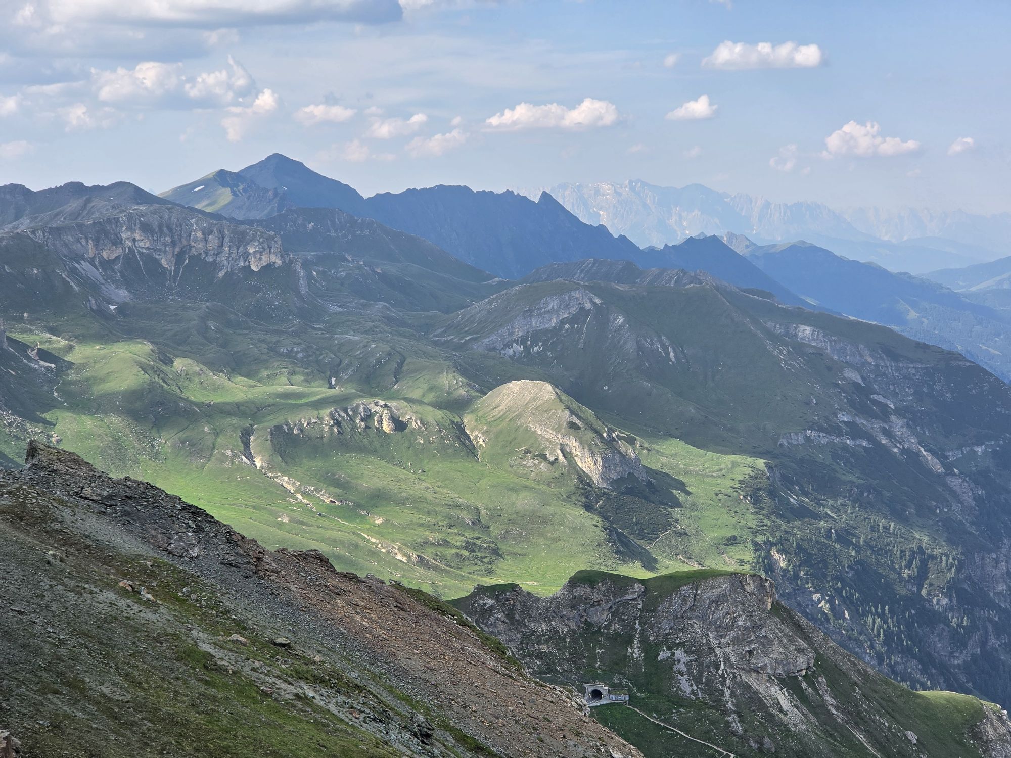
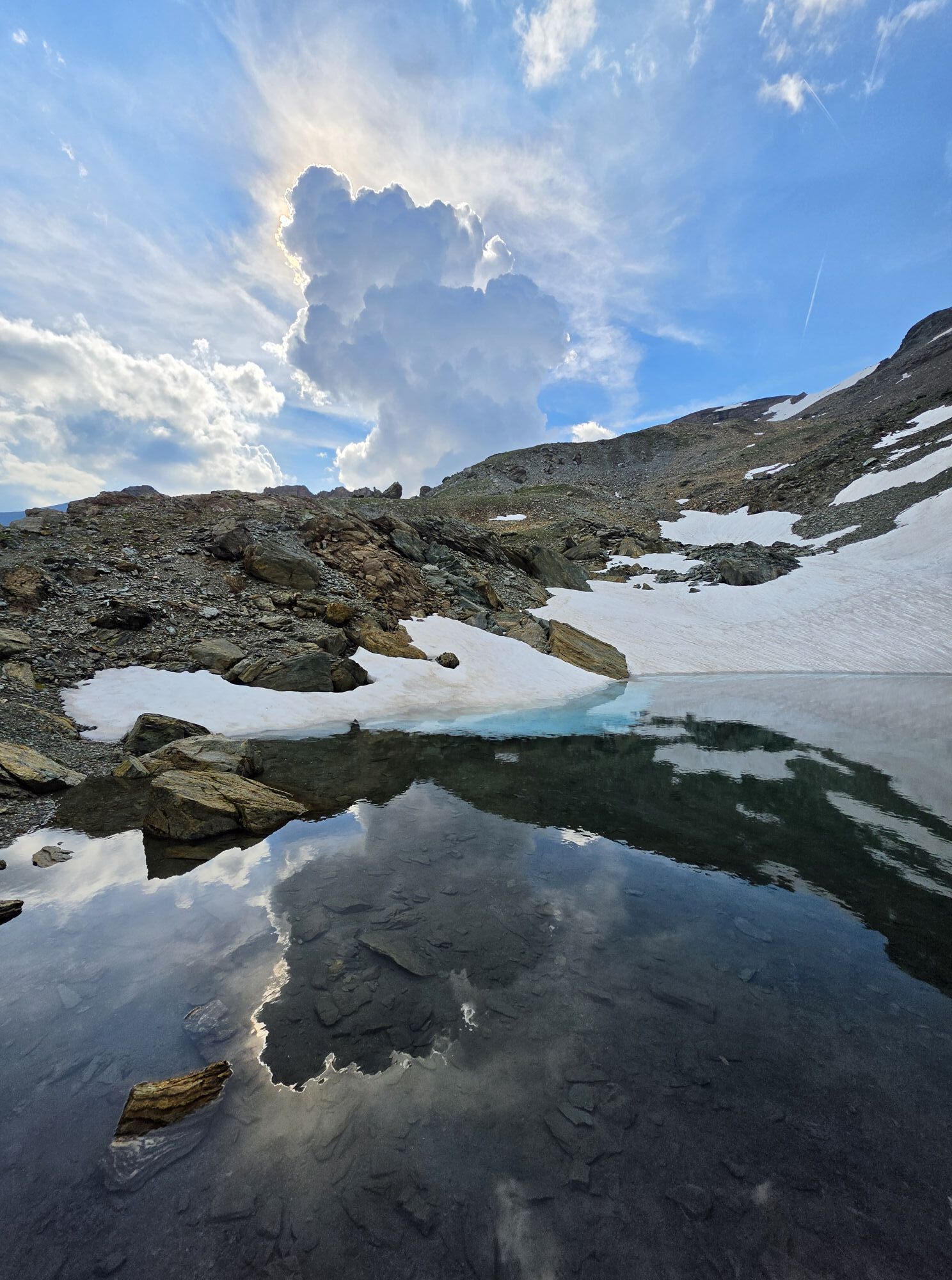
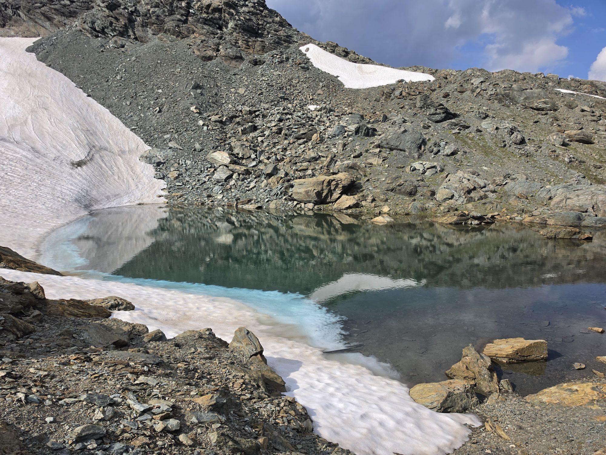
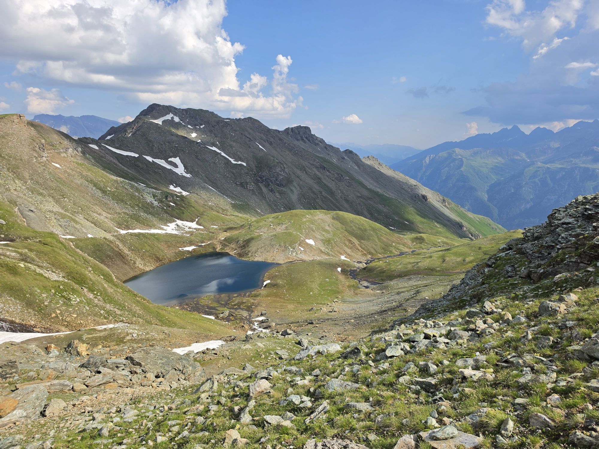
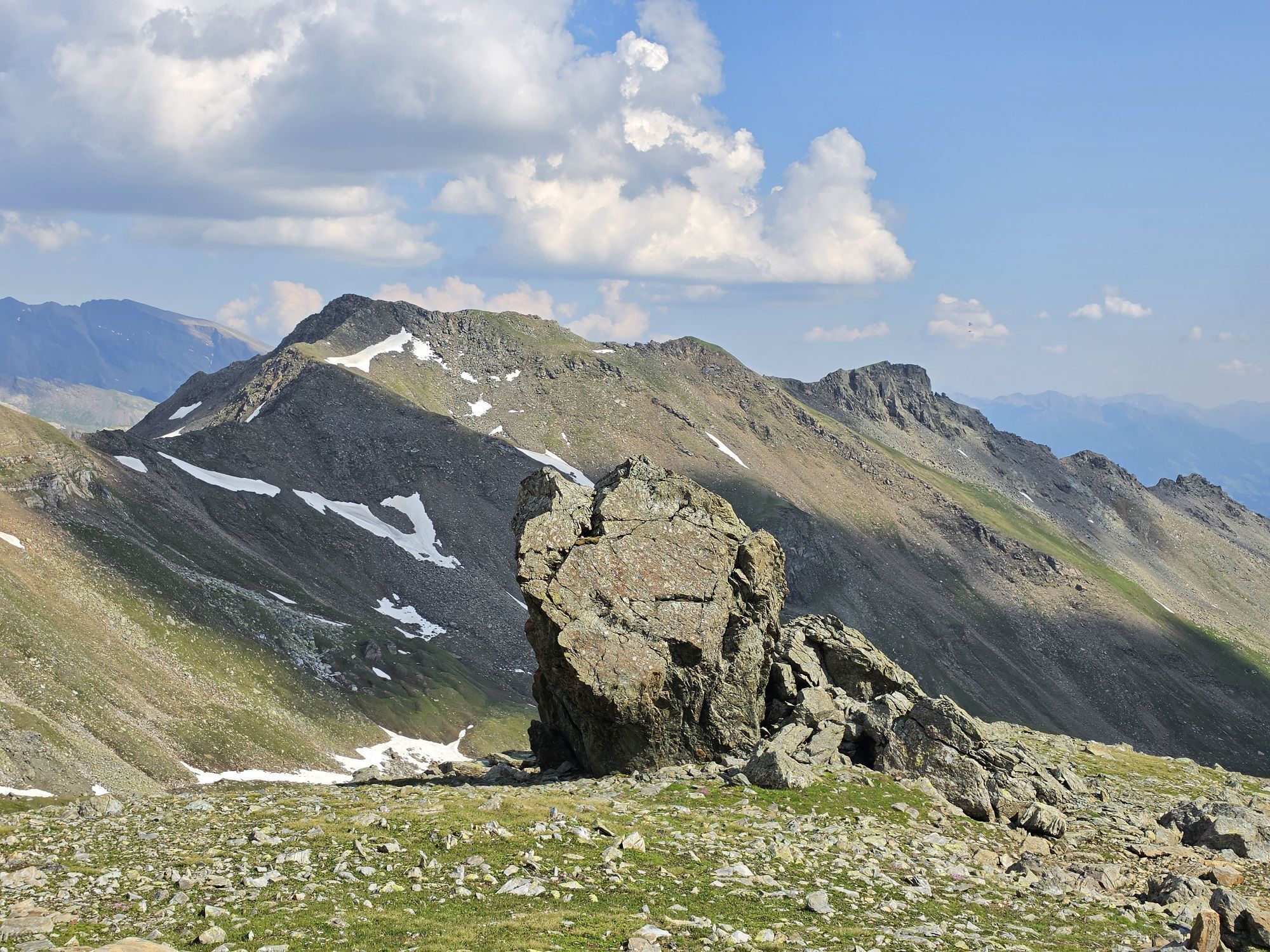
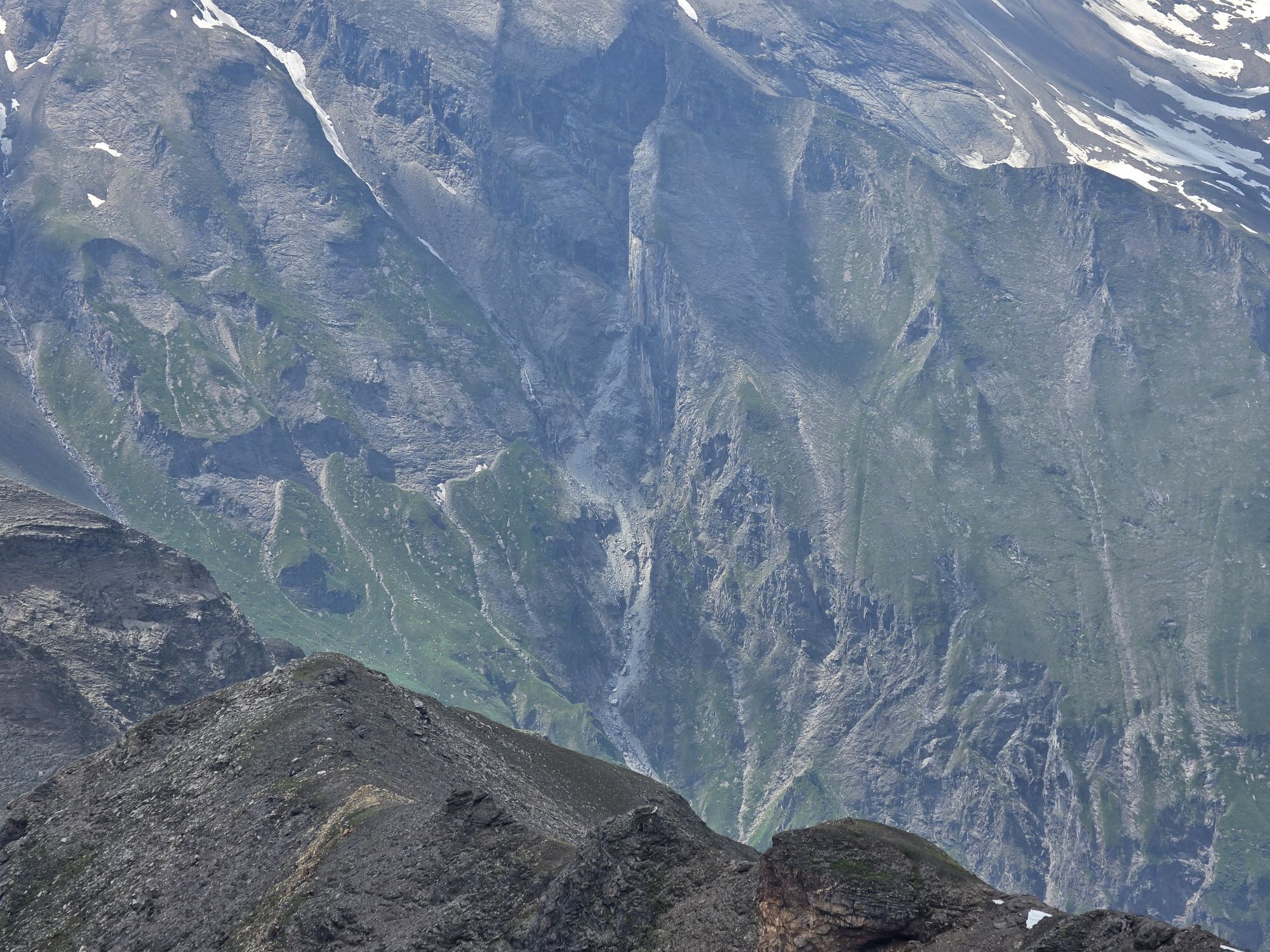
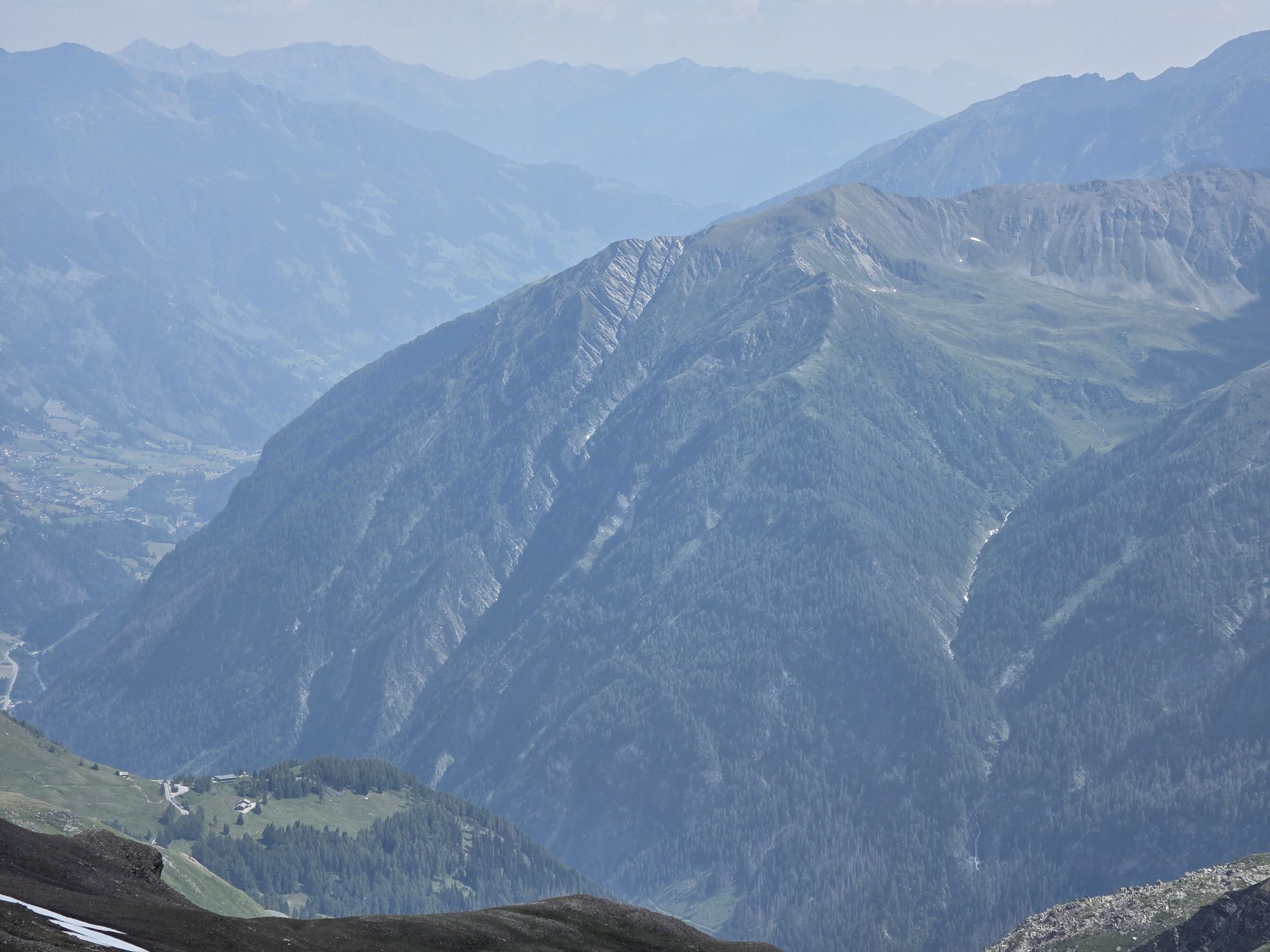
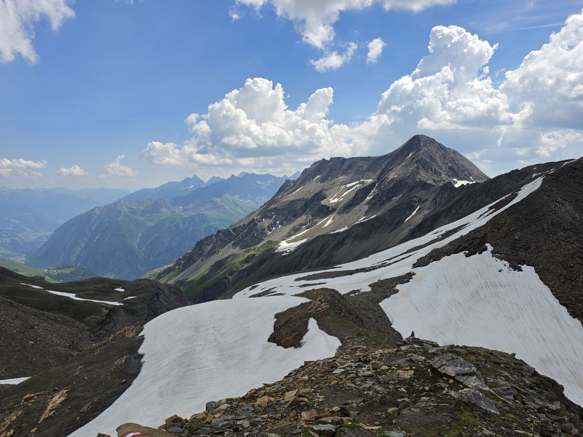
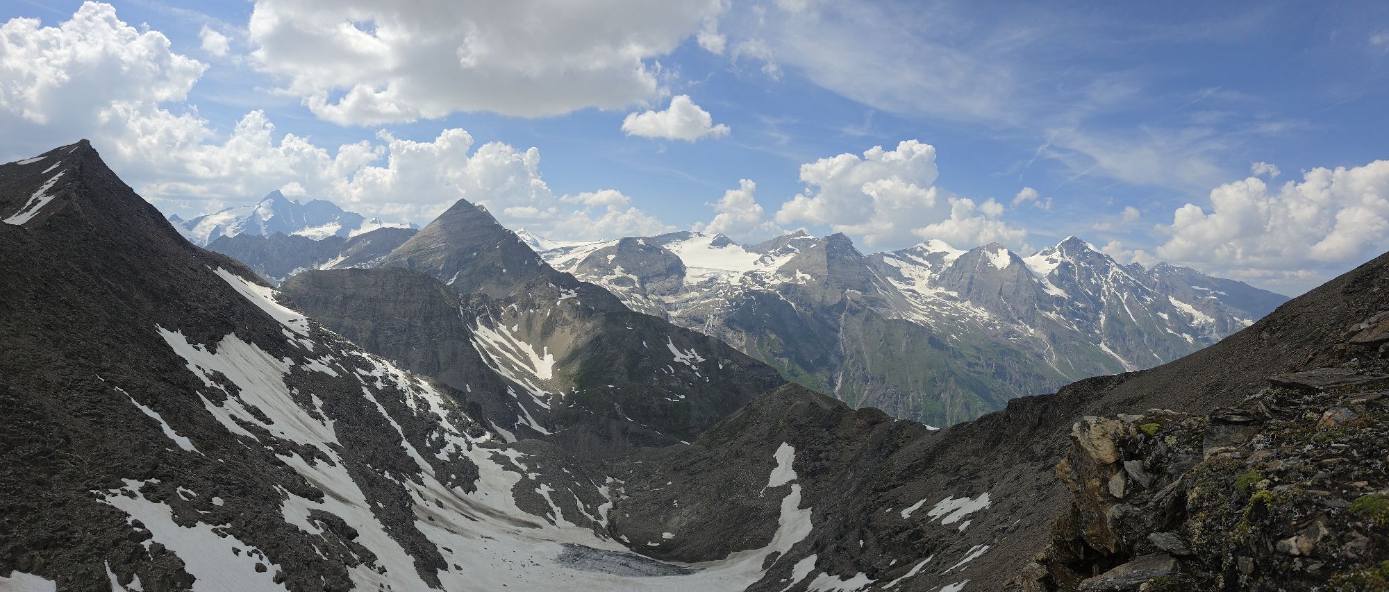
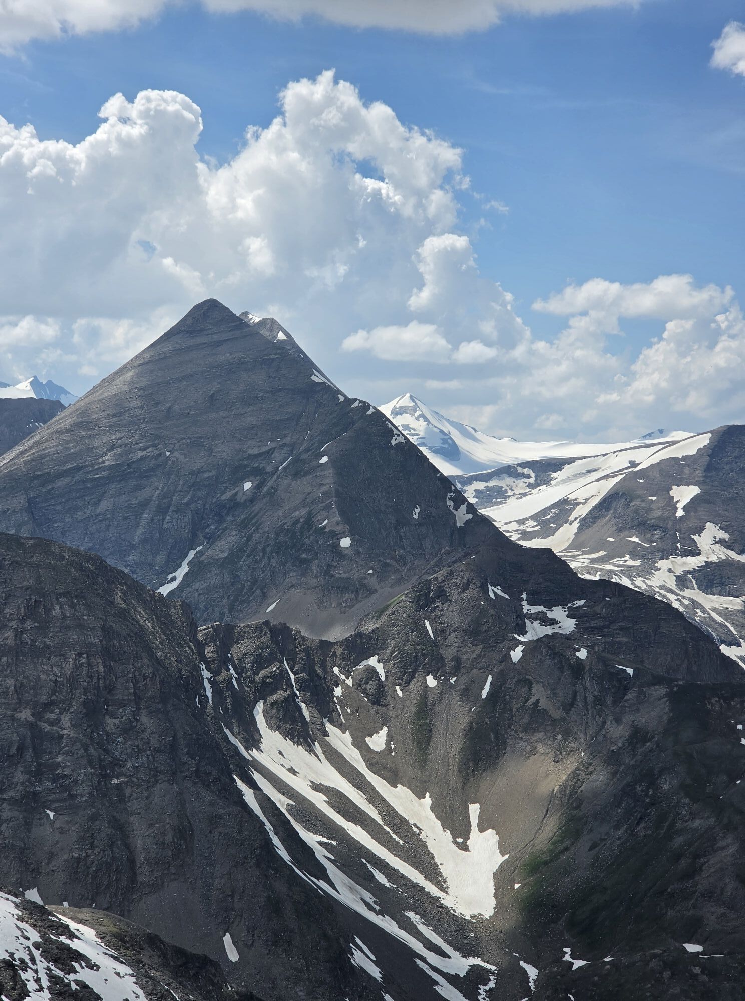
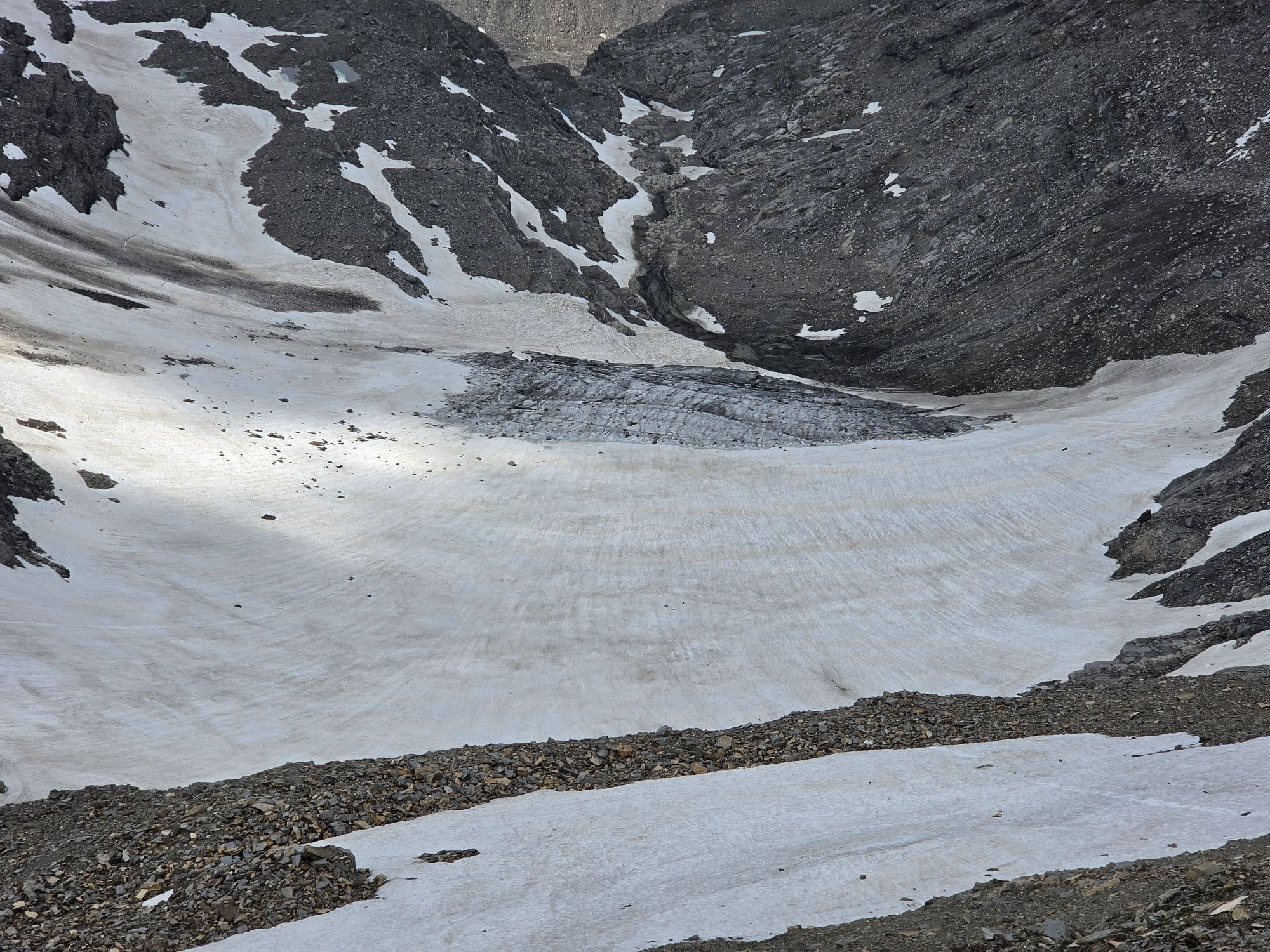
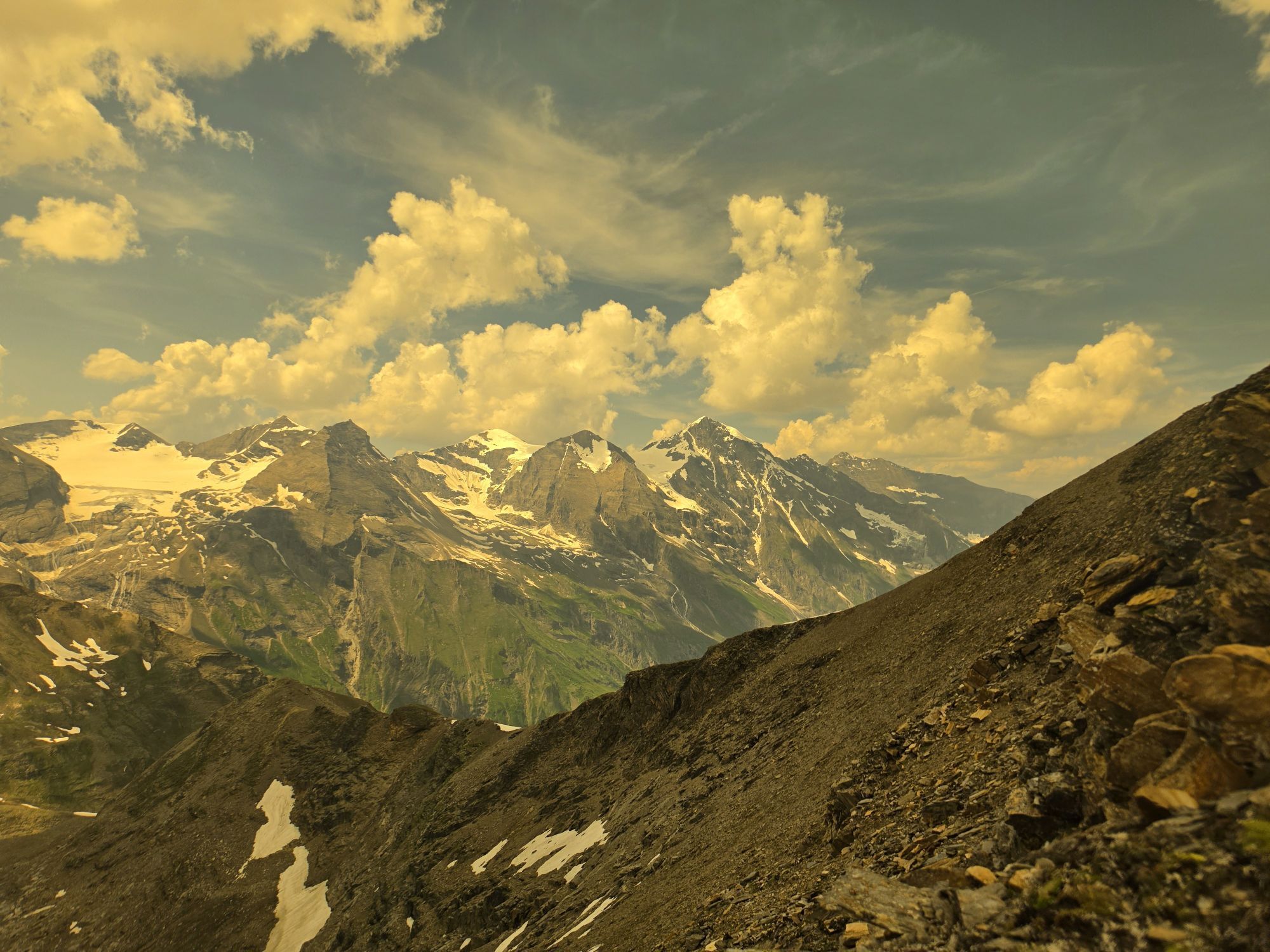
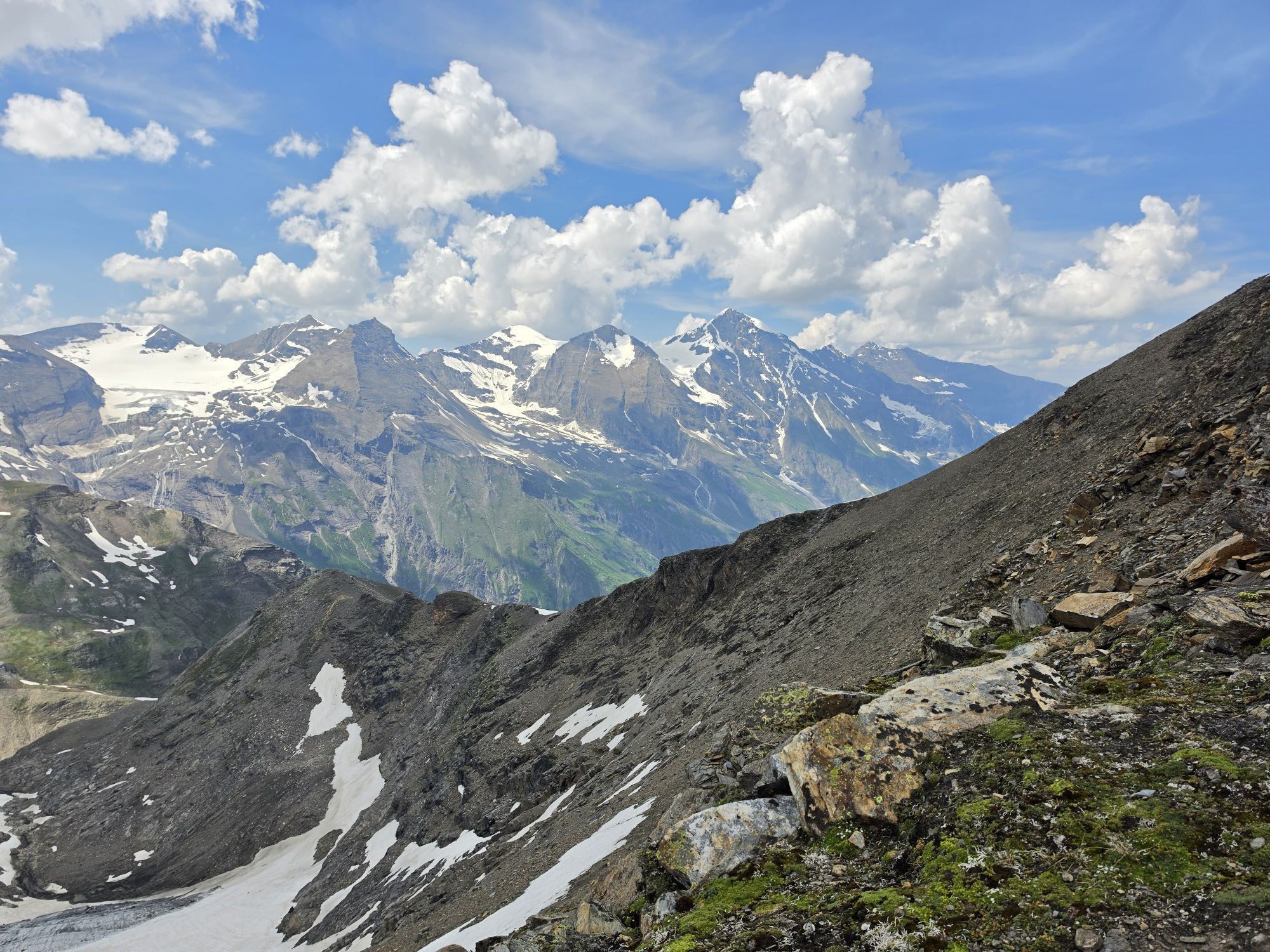
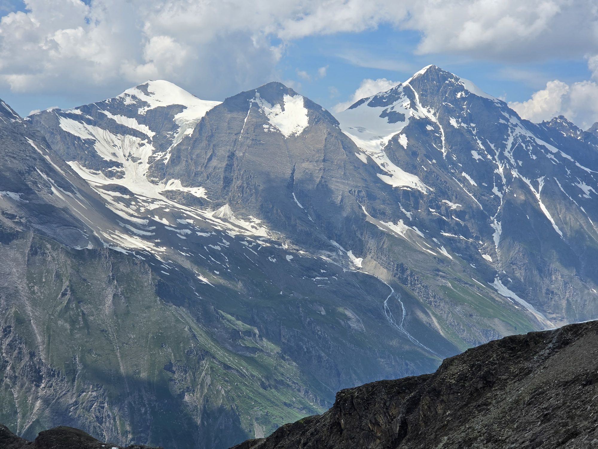
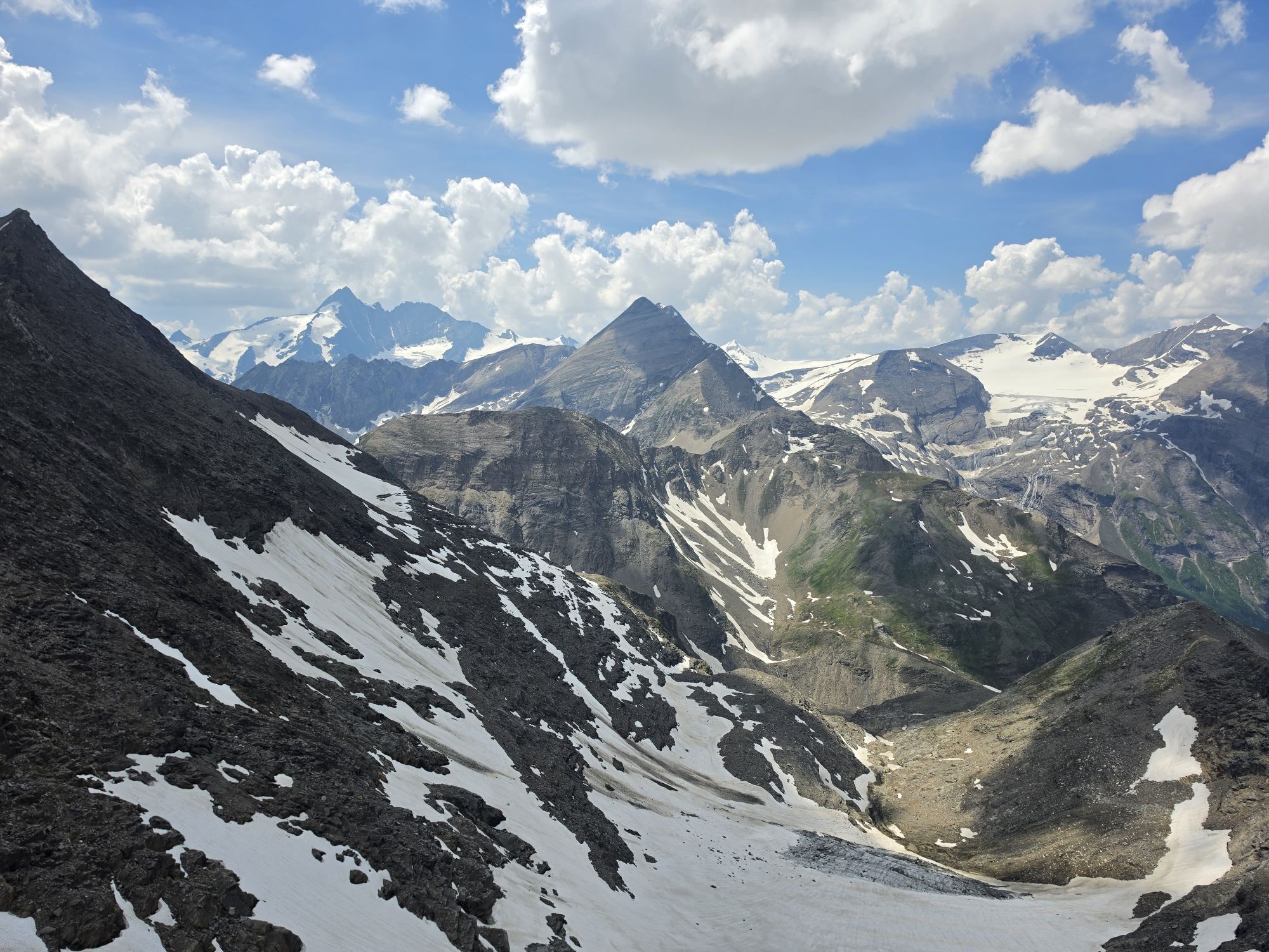
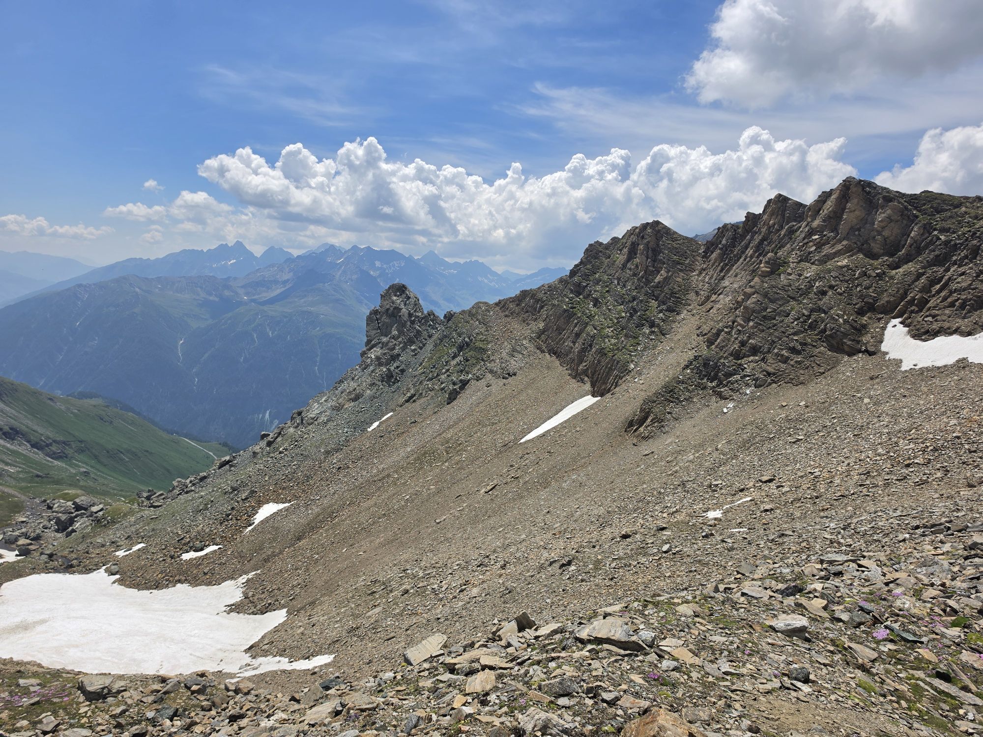
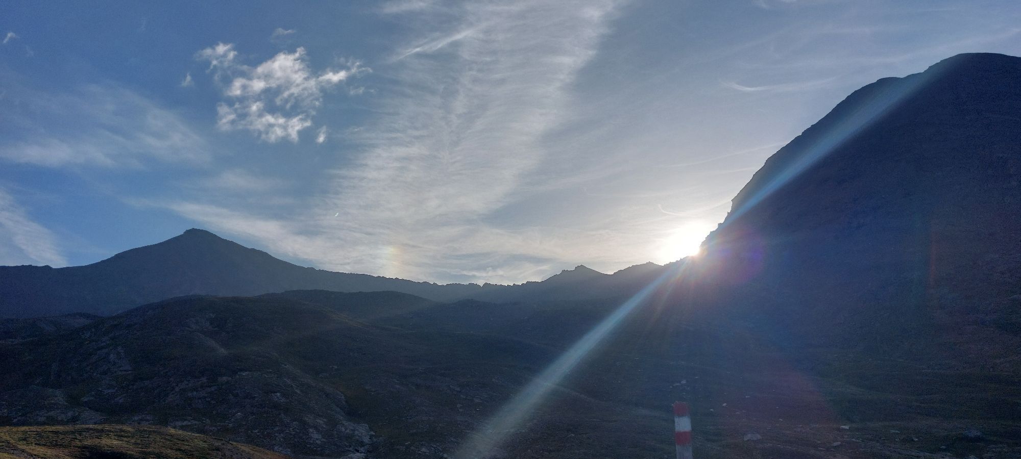
The Spielmann owes its remarkable name to the legend of the Pasterze Glacier: once a fertile high pasture, it was transformed during an alpine fair day - as punishment for the farmers who arrogantly sinned...
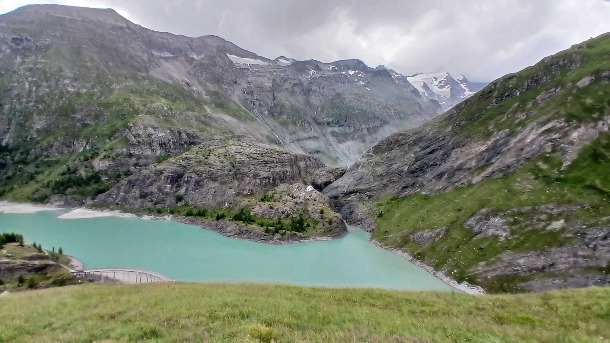
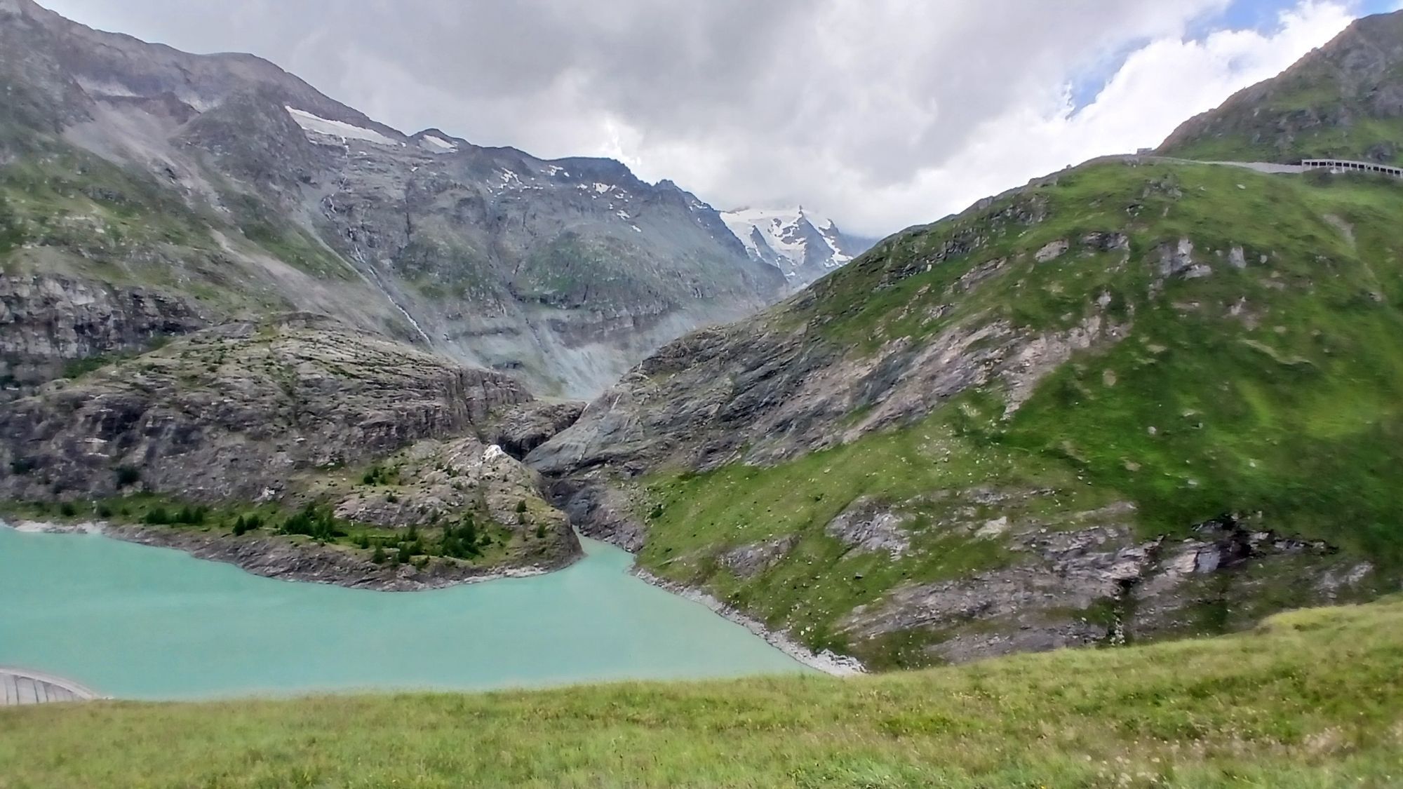
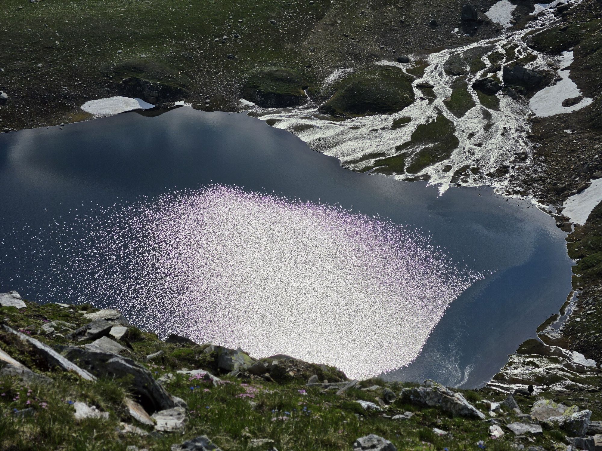
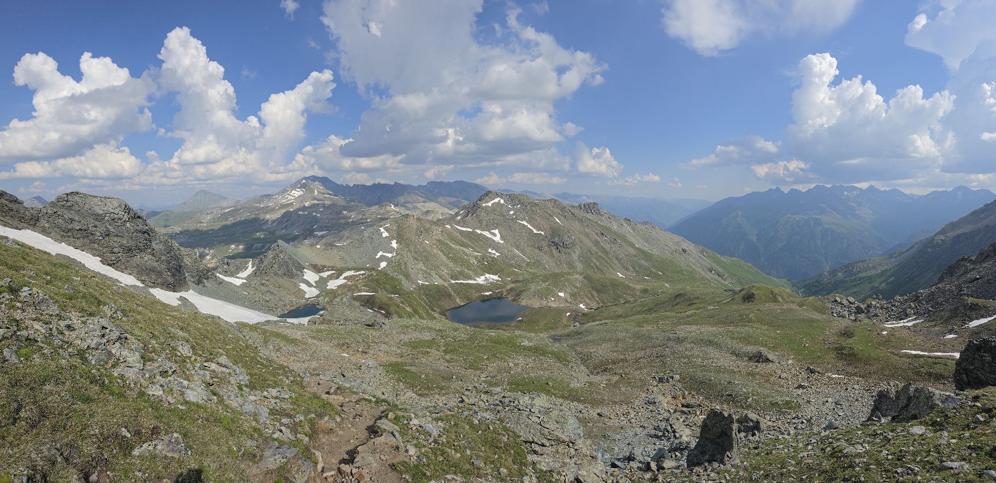
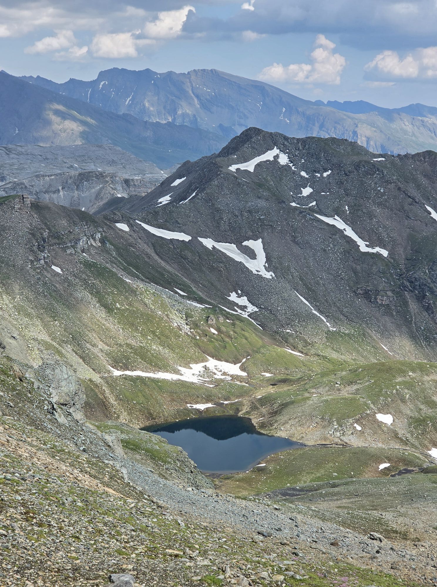
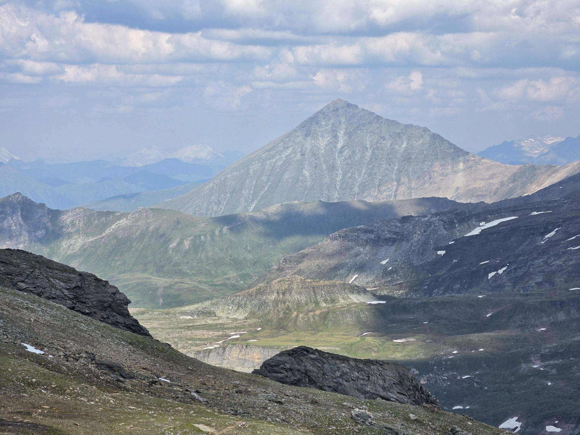
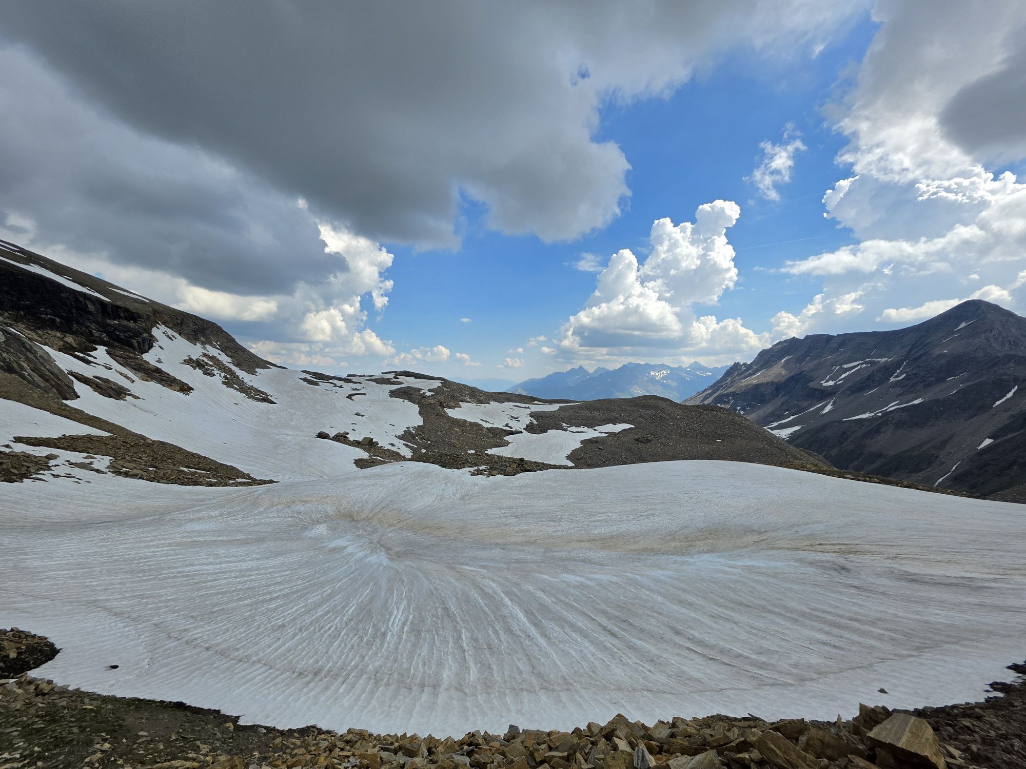
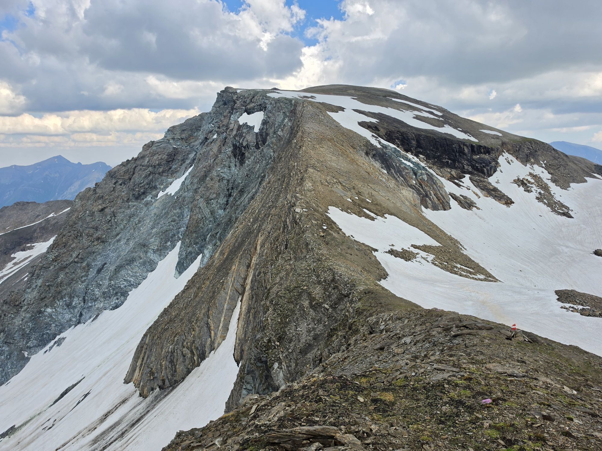
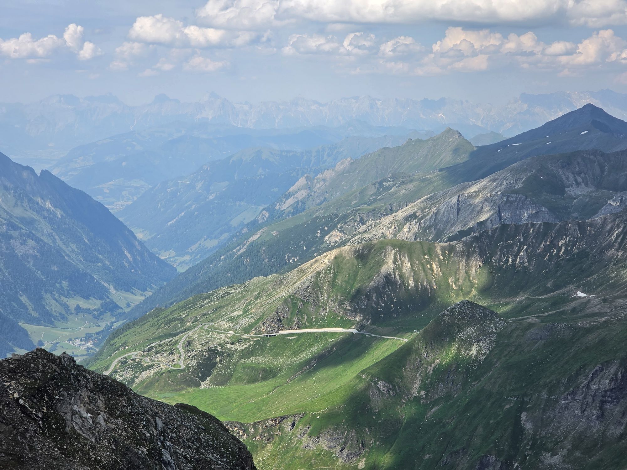
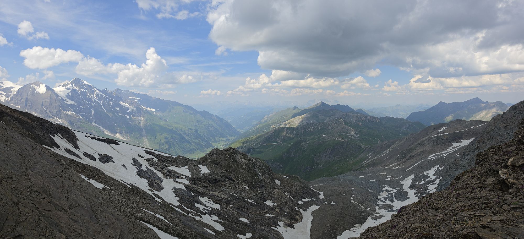
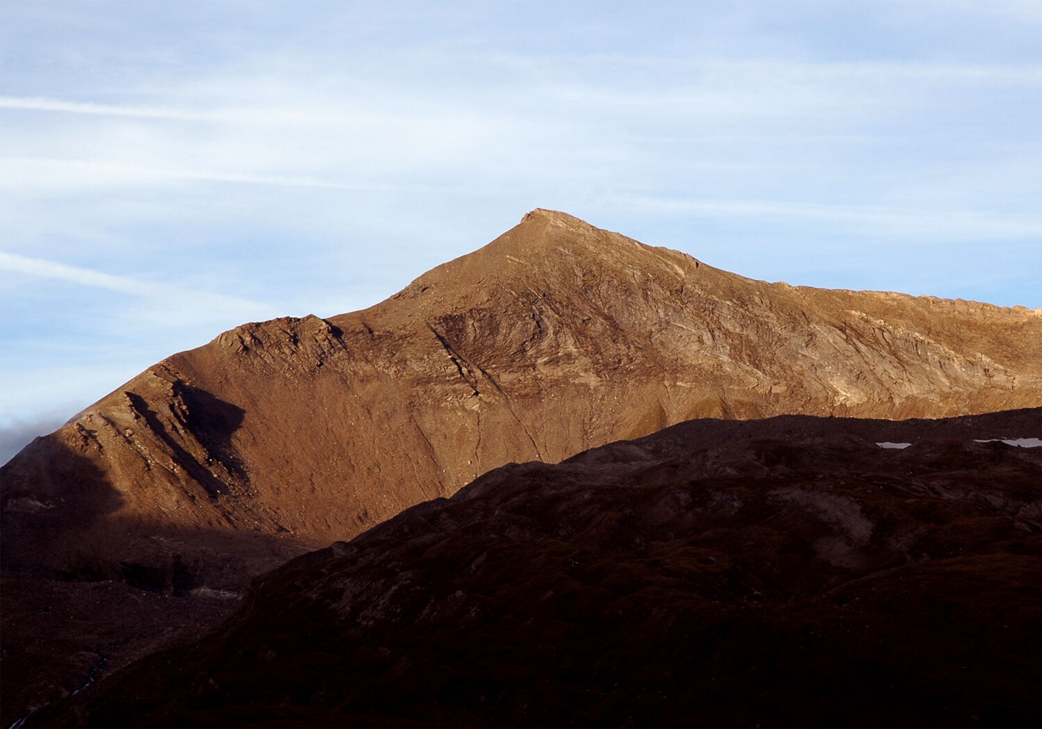
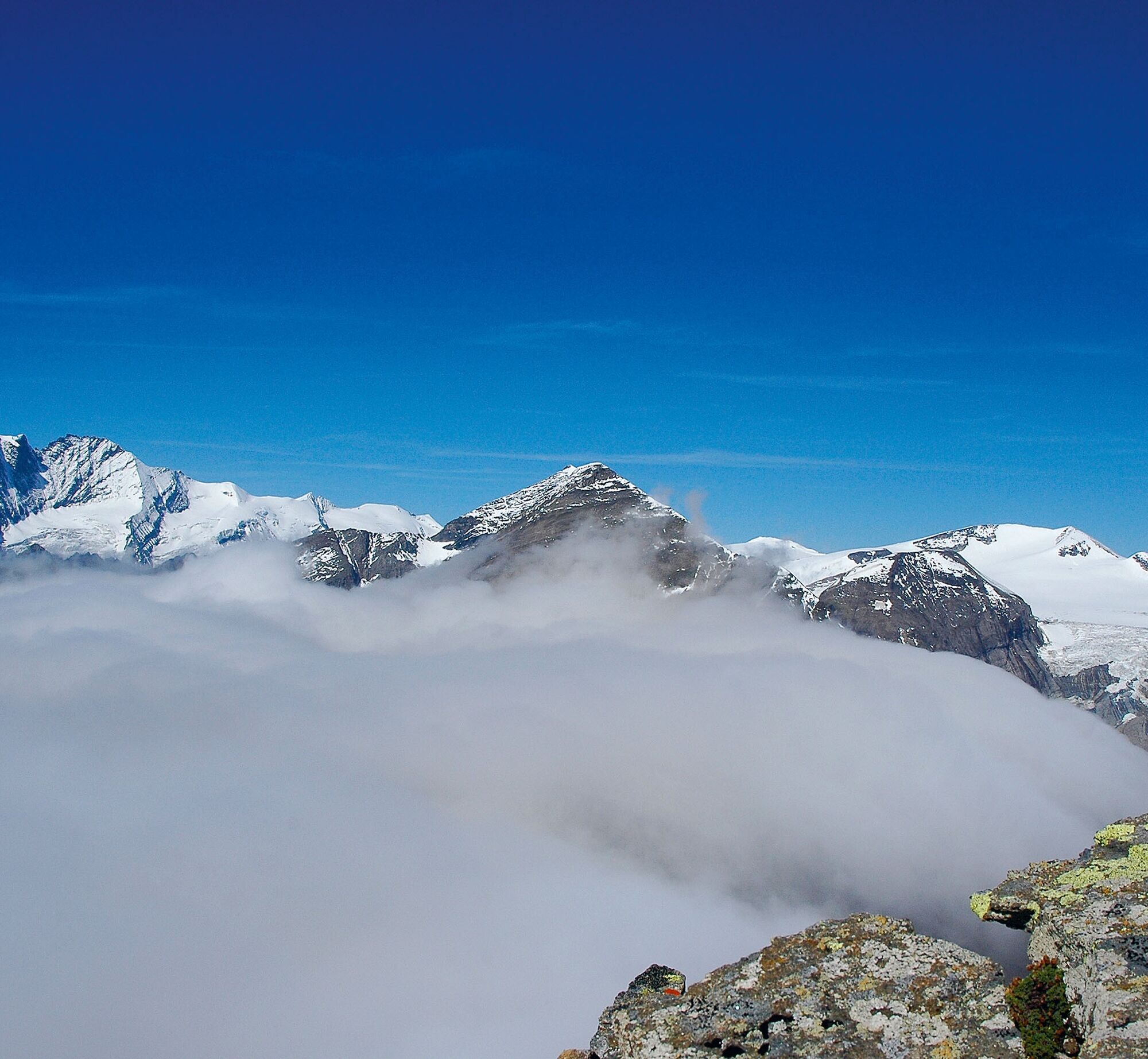
The Spielmann owes its remarkable name to the legend of the Pasterze Glacier: once a fertile high pasture, it was transformed during an alpine fair day - as punishment for the farmers who arrogantly sinned in their wealth, by a terrible storm into an ice-hard shell. And many of the exuberantly celebrating guests were forever petrified - like the Spielmann and his neighbors, the Racherin and the Kapuziner. So a bewitched mountain, whose story is about seduction and humility. Humility should not be difficult for us in the presence of its majesty - the Großglockner. And this charismatic mountain is also seductive. First over flower-rich mountain meadows, we then immerse ourselves at the Pfandlschartensee in a primeval high mountain wilderness. From here, with respect, the distinctive western ridge is climbed, which leads ever steeper and is briefly secured with ropes to the summit. If this is not enough, continue following the "Klagenfurt Jubilee Route" to the Hochtor on the Glockner road and this walk above the clouds will not be regretted!
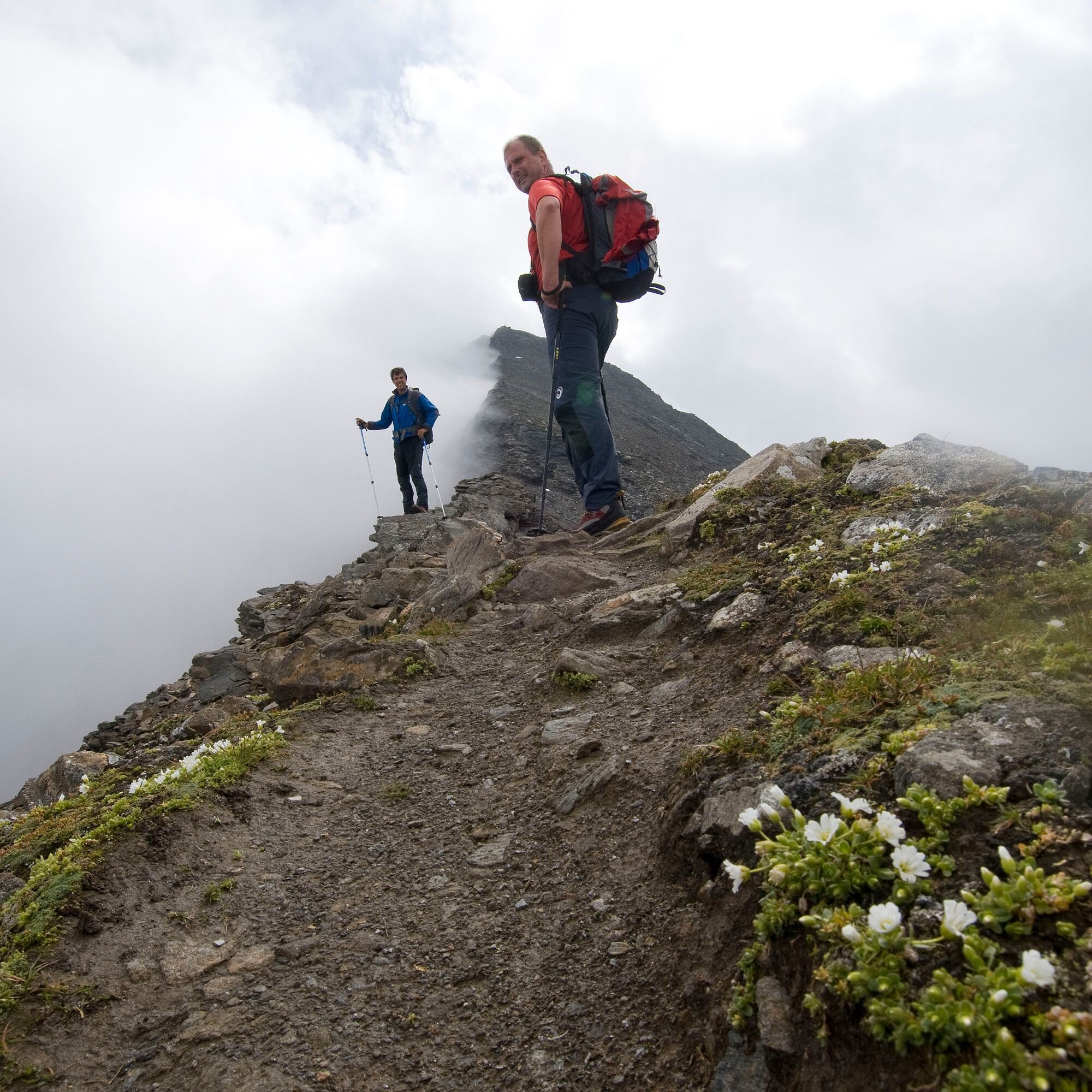

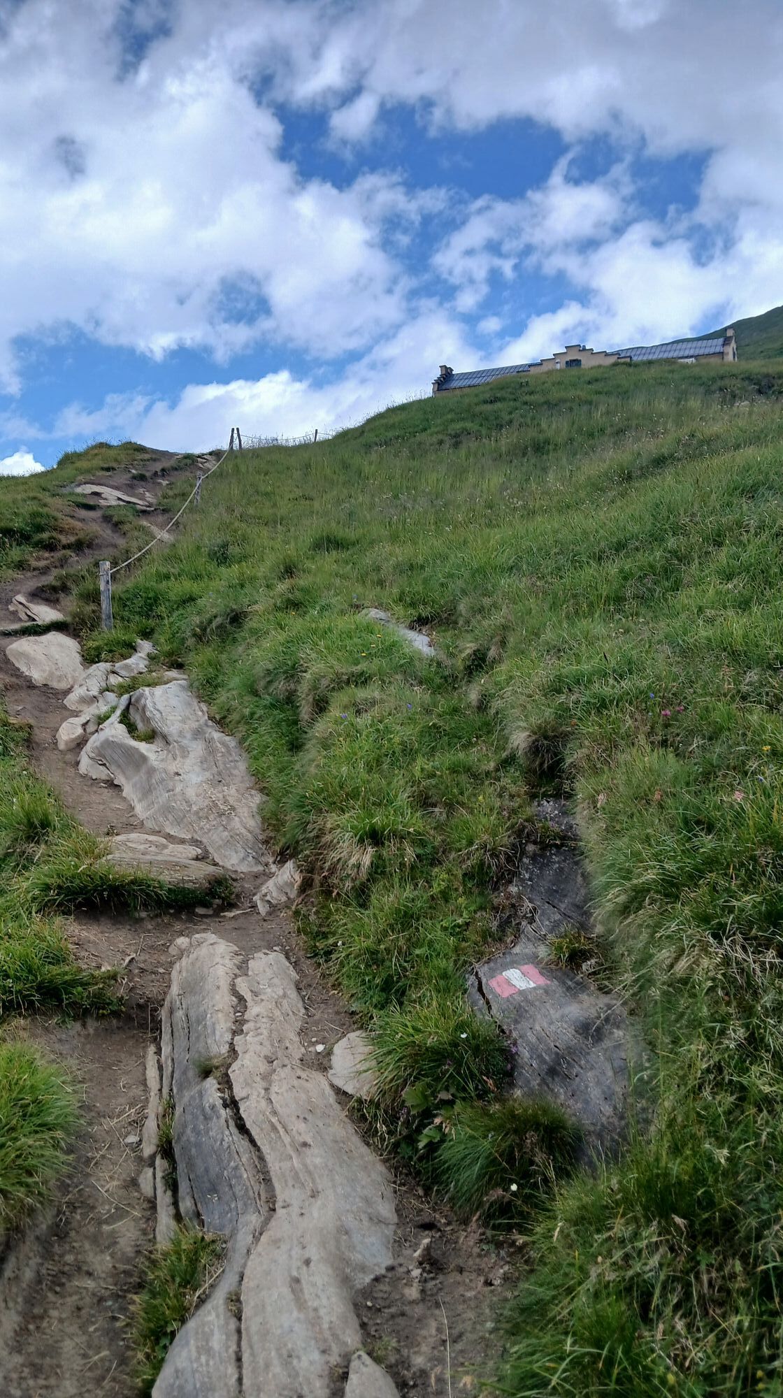
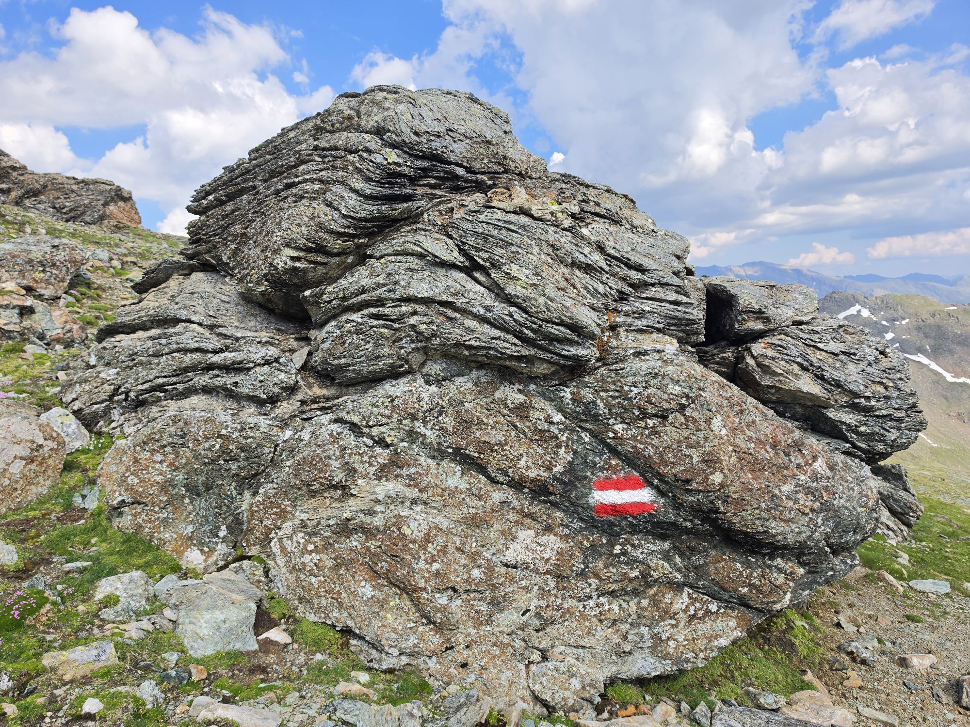
From the Glocknerhaus on the Klagenfurt Jubilee Route (trail no. 702) first steeply rising, then over alpine meadows into the cirque of the former Pfandlscharten glacier and onwards to the lower Pfandlscharte.
From the notch via the western ridge, finally over climbing sections secured with ropes, to the summit. Return along the same route.
Variant - crossing to the Hochtor:
From the summit further along the wind-polished northeast ridge to just below the Kloben. South of the main ridge and at the edge of the small "Kees" glacier to the Brennkogel notch. Now again directly on the ridge and from the Bretterscharte northwards to the Hochtor on the Glockner road.
Ano
Sturdy footwear, backpack with provisions, drink, and a warm or windproof jacket. Hiking poles are advantageous.
We recommend less experienced mountaineers to undertake this route accompanied by a state-certified mountain guide! The mountain guide office Heiligenblut at Großglockner is available for organization at +43(0)4824-2700-7 or info@grossglockner-bergfuehrer.at!
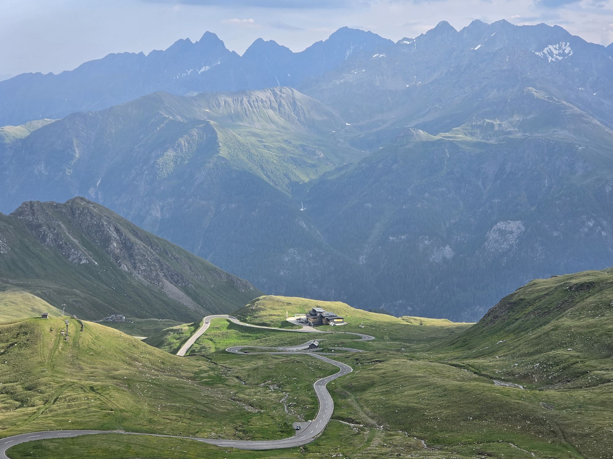
From Heiligenblut via the Großglockner High Alpine Road, at the Guttal roundabout towards Kaiser-Franz-Josef-Höhe, to the Alpincenter Glocknerhaus.
Please note the public transport (Postbus) schedules: The buses run 3 times daily (only once on Saturdays) from mid-June to mid-September;
Please obtain timetable information at the information and booking center in Heiligenblut: +43 4824/2700-20
Parking lot at the Alpincenter Glocknerhaus
In early summer, steep snowfields can be expected! Great caution is required when ascending after the Pfandlscharte.


Webové kamery z prohlídky

Aktivity na trase
-

Heiligenblut am Großglockner, Kärnten/Österreich
08.09.2026 – Turistika -

Heiligenblut am Großglockner, Kärnten/Österreich
06.09.2026 – Turistika -
Heiligenblut am Großglockner, Kärnten/Österreich
05.09.2026 – Turistika -

Heiligenblut am Großglockner, Kärnten/Österreich
15.08.2026 – Turistika -
Spielmann ab Hochtor
14.08.2026 – Vysokohorská turistika -
Heiligenblut am Großglockner, Kärnten/Österreich
31.07.2026 – Turistika -

Fusch an der Großglocknerstraße, Salzburg/Österreich
29.07.2026 – Turistika -
Heiligenblut am Großglockner, Kärnten/Österreich
20.07.2026 – Turistika -
Spielmann (von Glocknerhaus)
20.07.2026 – Horská turistika -

Heiligenblut am Großglockner, Kärnten/Österreich
21.09.2025 – Turistika -

Heiligenblut am Großglockner, Kärnten/Österreich
12.09.2025 – Turistika -

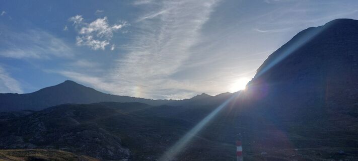
Spielmann übers Glocknerhaus
14.08.2025 – Turistika -
Heiligenblut am Großglockner, Kärnten/Österreich
13.08.2025 – Turistika
Oblíbené prohlídky v okolí
-
4.8
Kaiser-Franz-Josefs-Höhe to Oberwalderhütte
heavyTuristika 5.52 km -
4.7
Geotrail Tauernfenster
světloTuristika 5.90 km -
4.5
Glacier Route to the Pasterze with Gamsgrubenweg (up to Tunnel 6)
středníTuristika 8.05 km -
4.9
Figerhorn 2743m, Lucknerhaus
heavyTuristika 6.69 km -
4.9
Glockner Alpincenter - Salmhütte - Hohenwartkees
středníTuristika 8.64 km -
4.9
Glockner
středníVysokohorská turistika 19 km -
4.8
Hohe Sonnblick Up
heavyTuristika 9.14 km -
5.0
Wasserfallboden/Mooserboden
heavyTuristika 19.5 km -
4.9
Krumltal in Rauris September 2020
světloTuristika 11.4 km -
4.7
Fusch: Gleiwitzer Hütte
heavyTuristika 8.26 km

Pěší turistika a stopování


Nenechte si ujít nabídky a inspiraci pro vaši příští dovolenou
Vaše e-mailová adresa byl přidán do poštovního seznamu.





