



Hinterglemm valley loop - family-friendly bike tour to the source of the Saalach



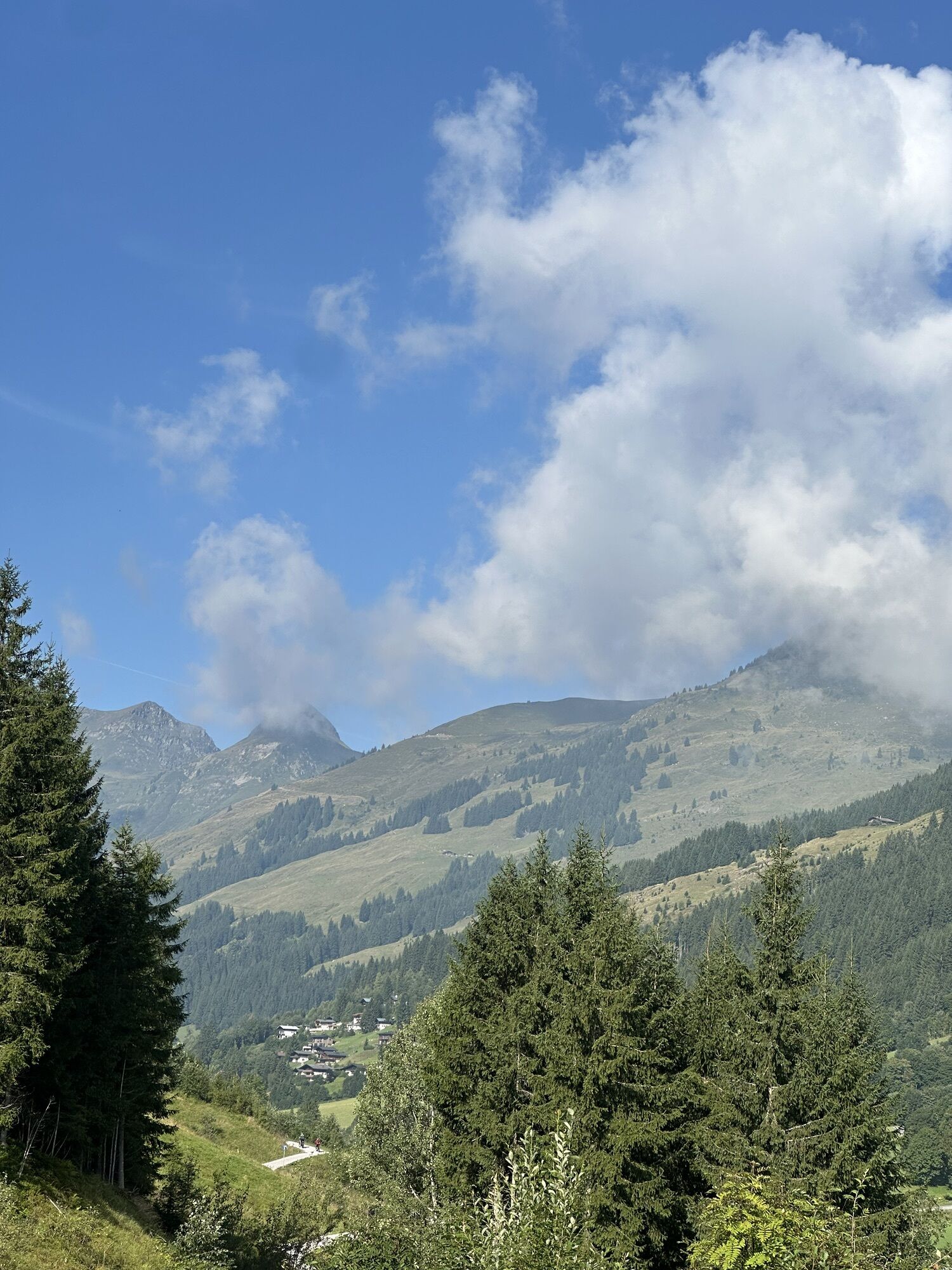
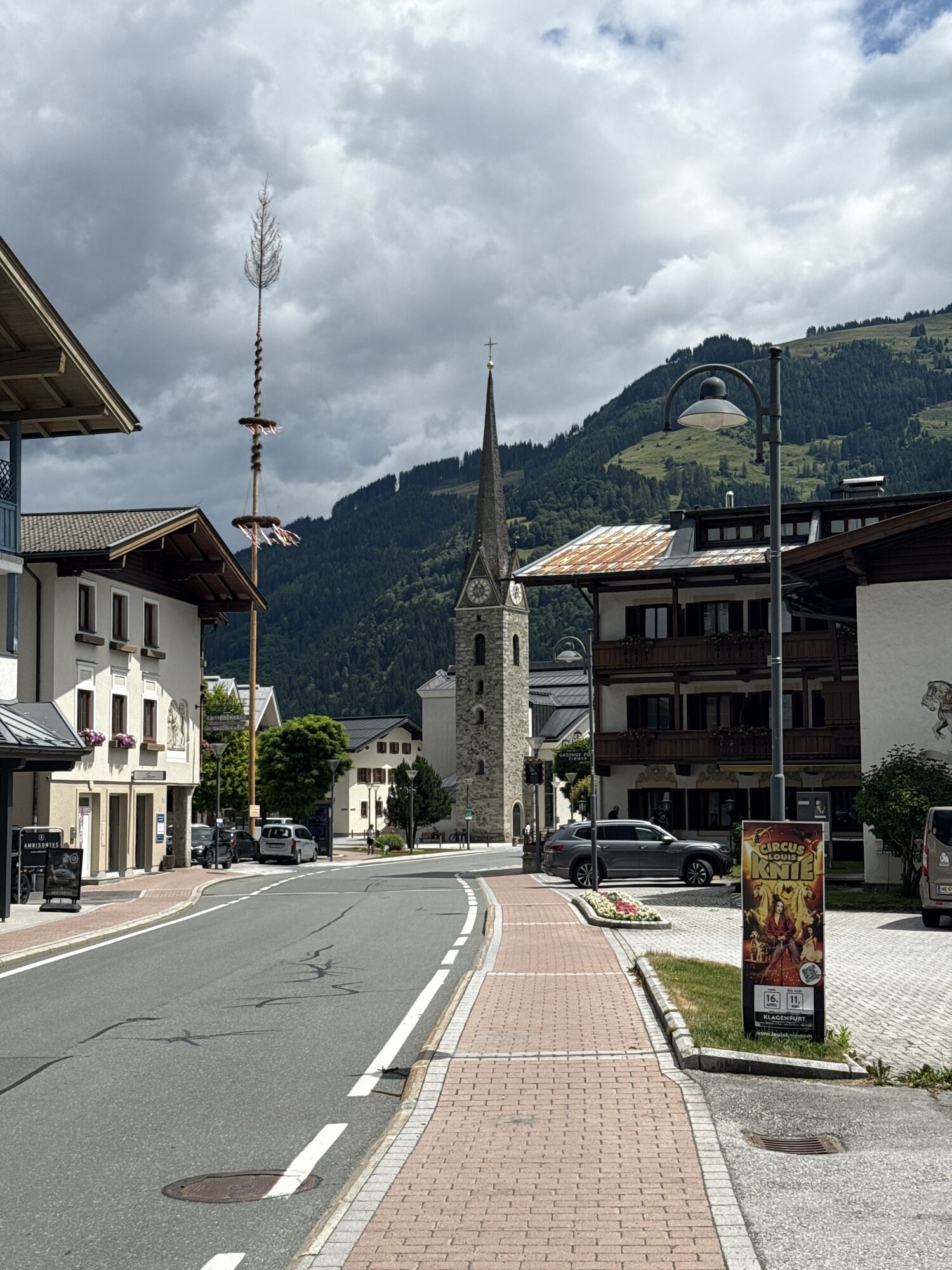
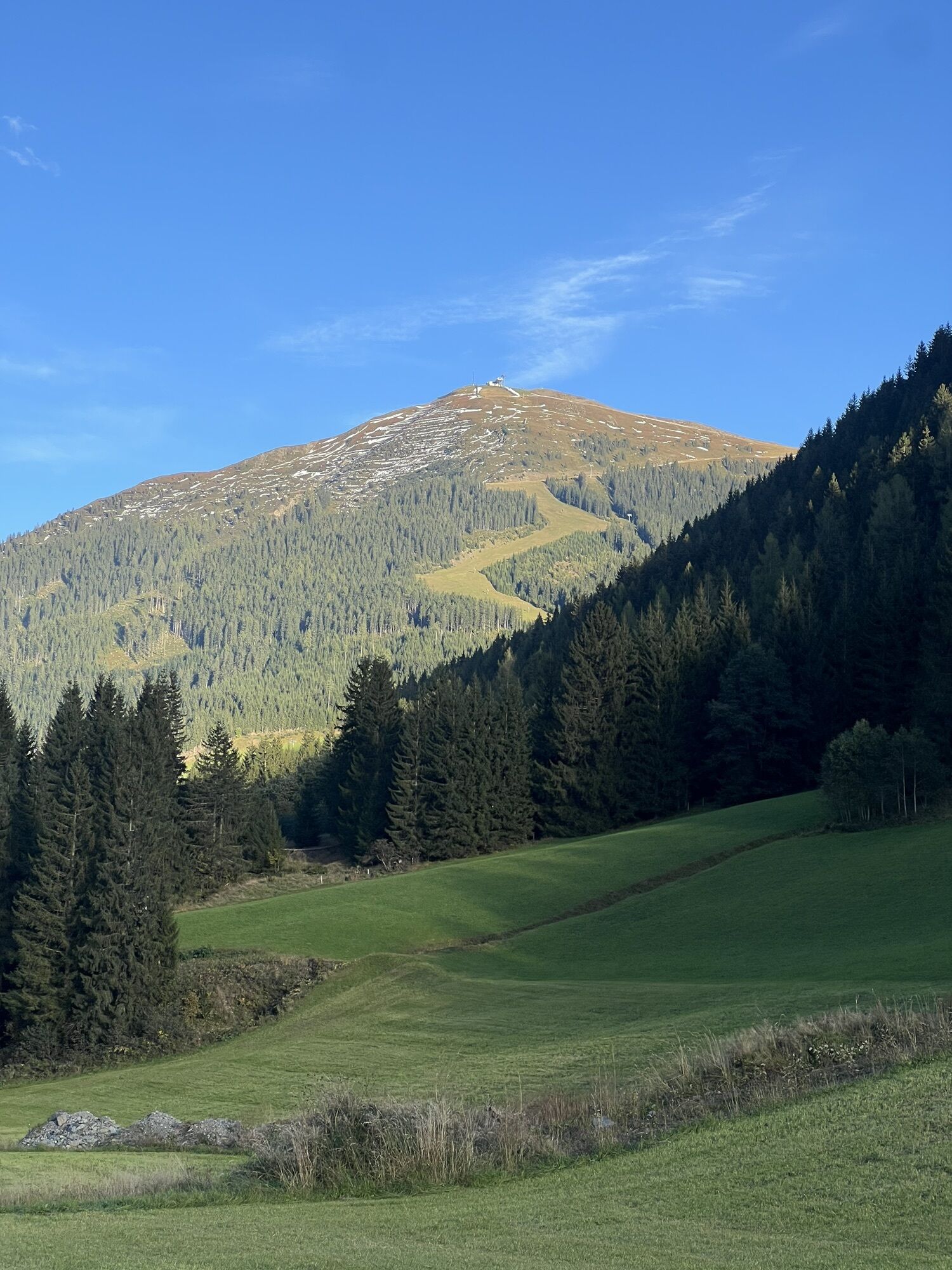
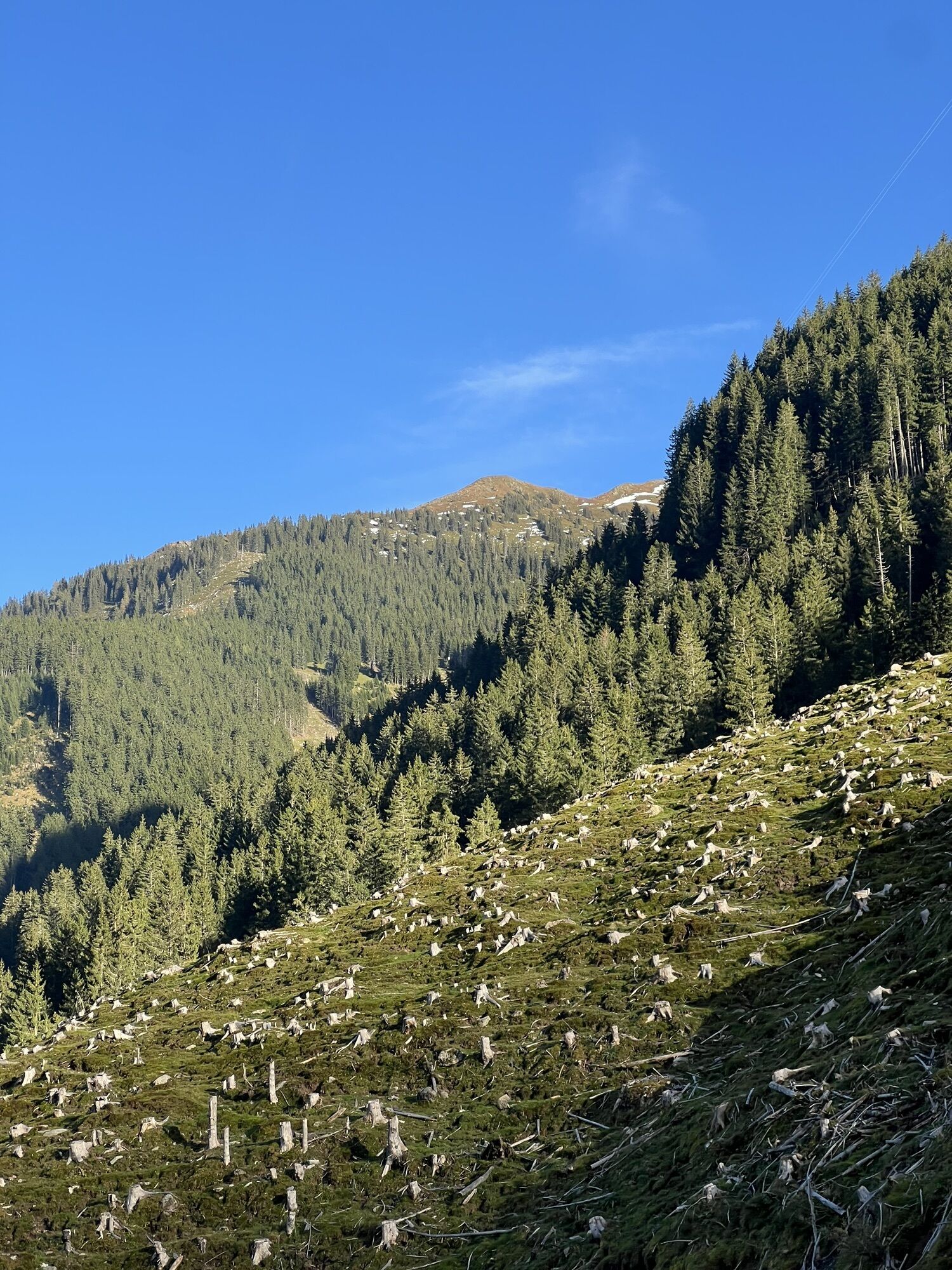
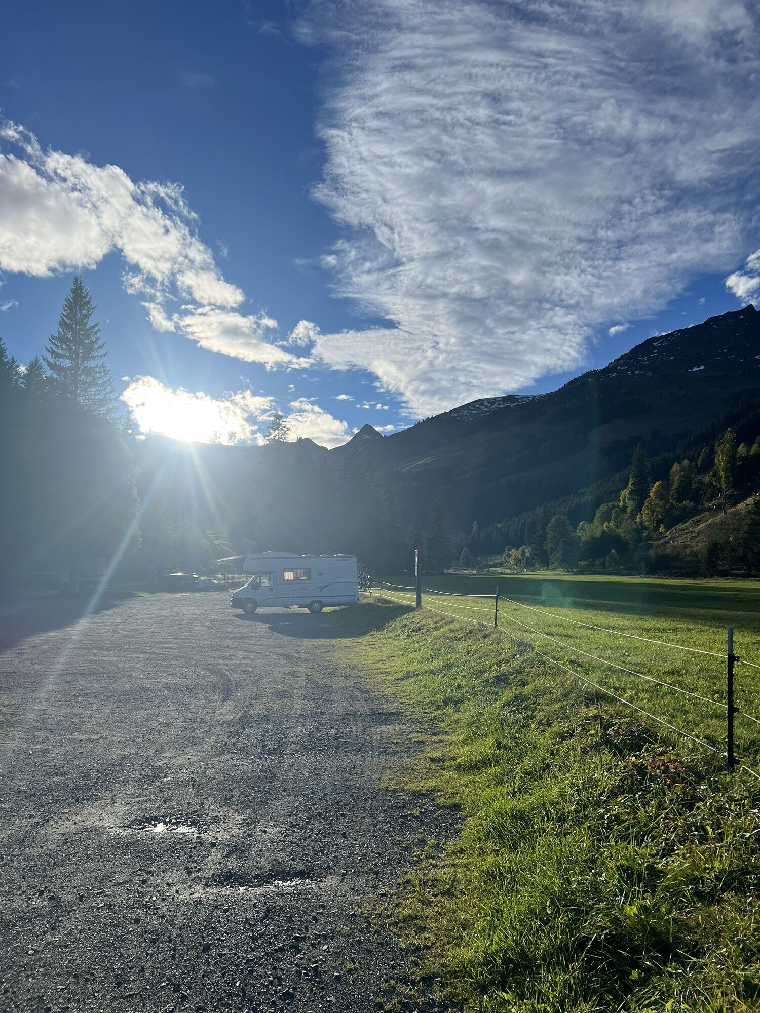
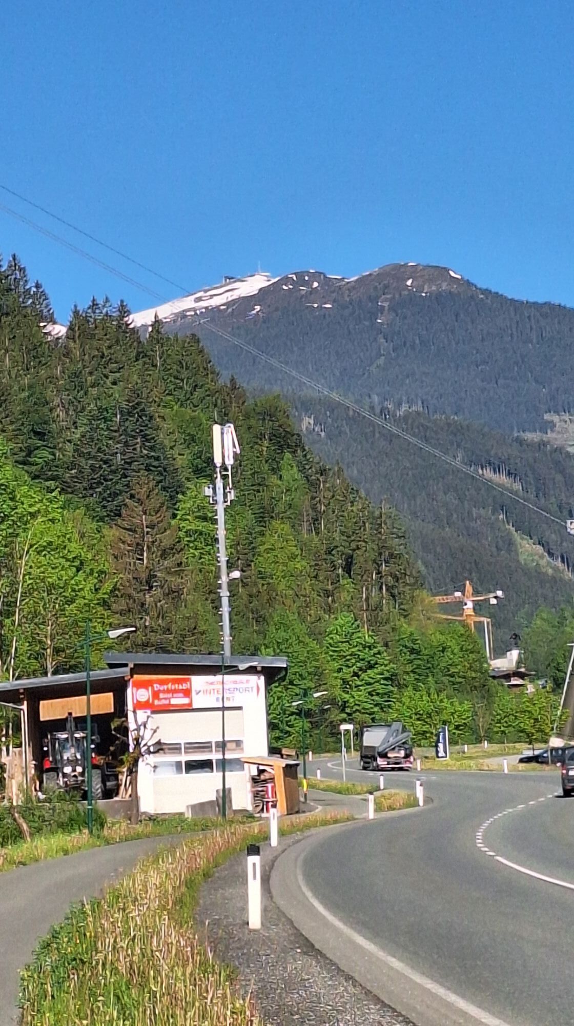
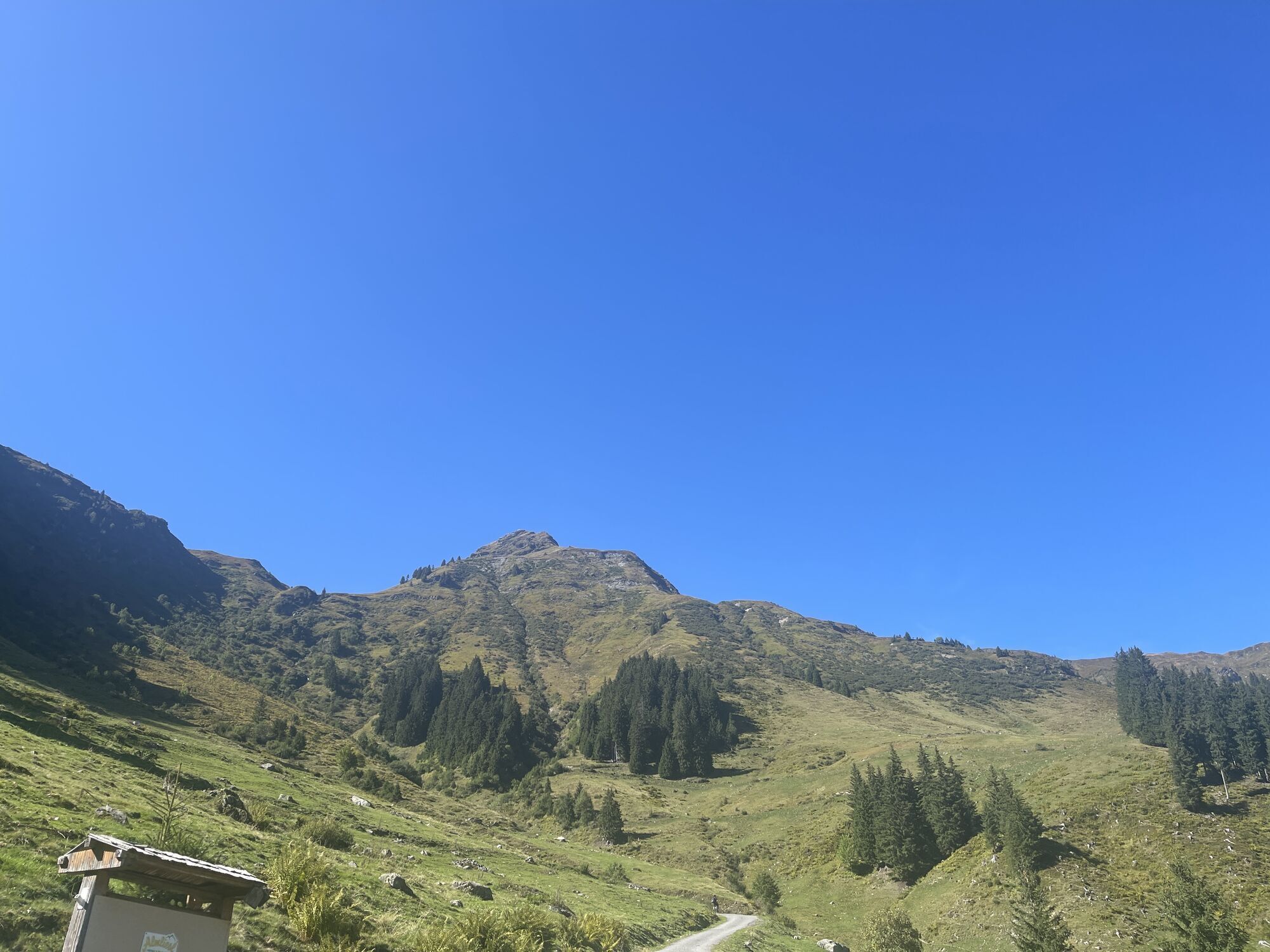
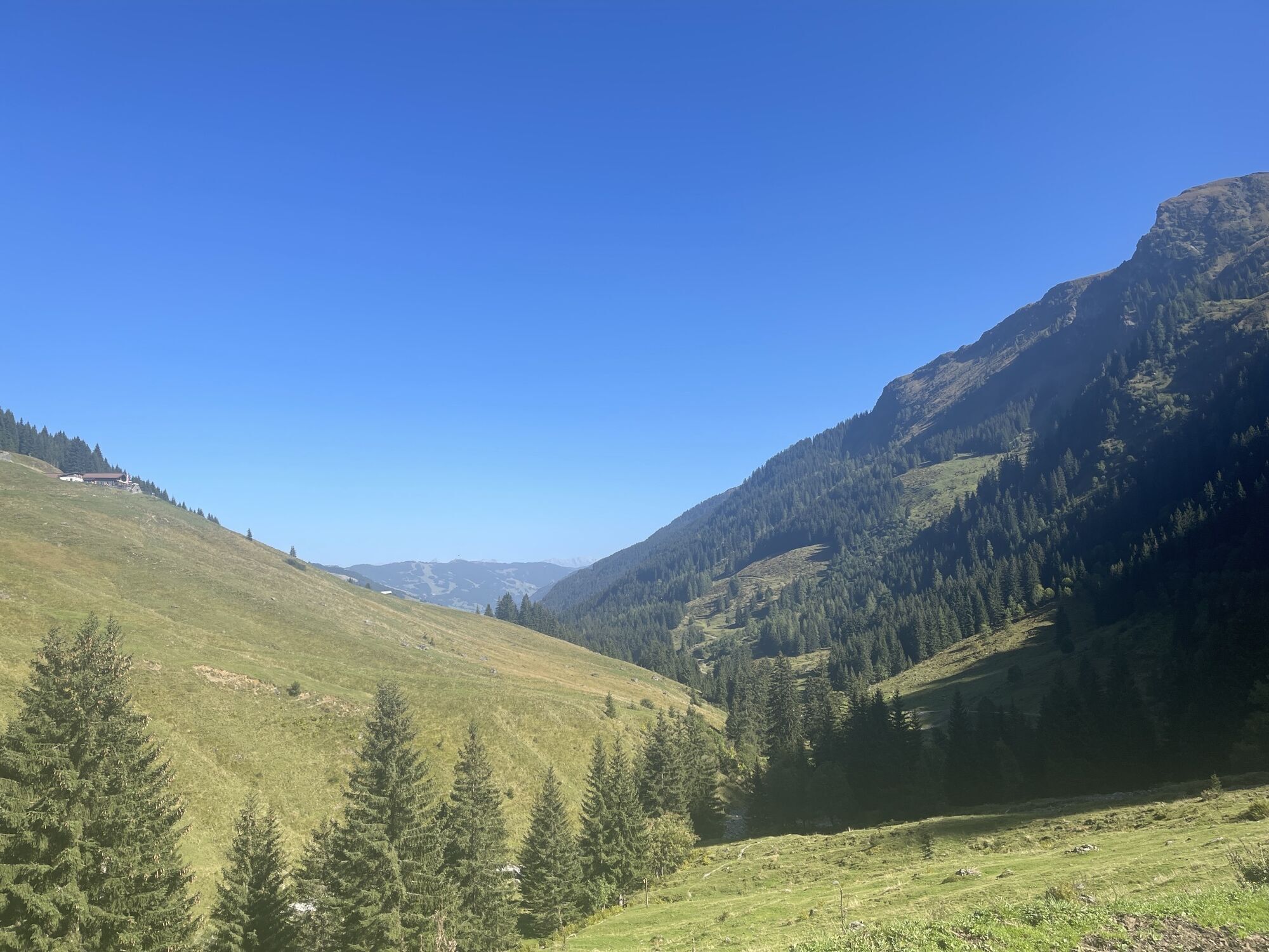
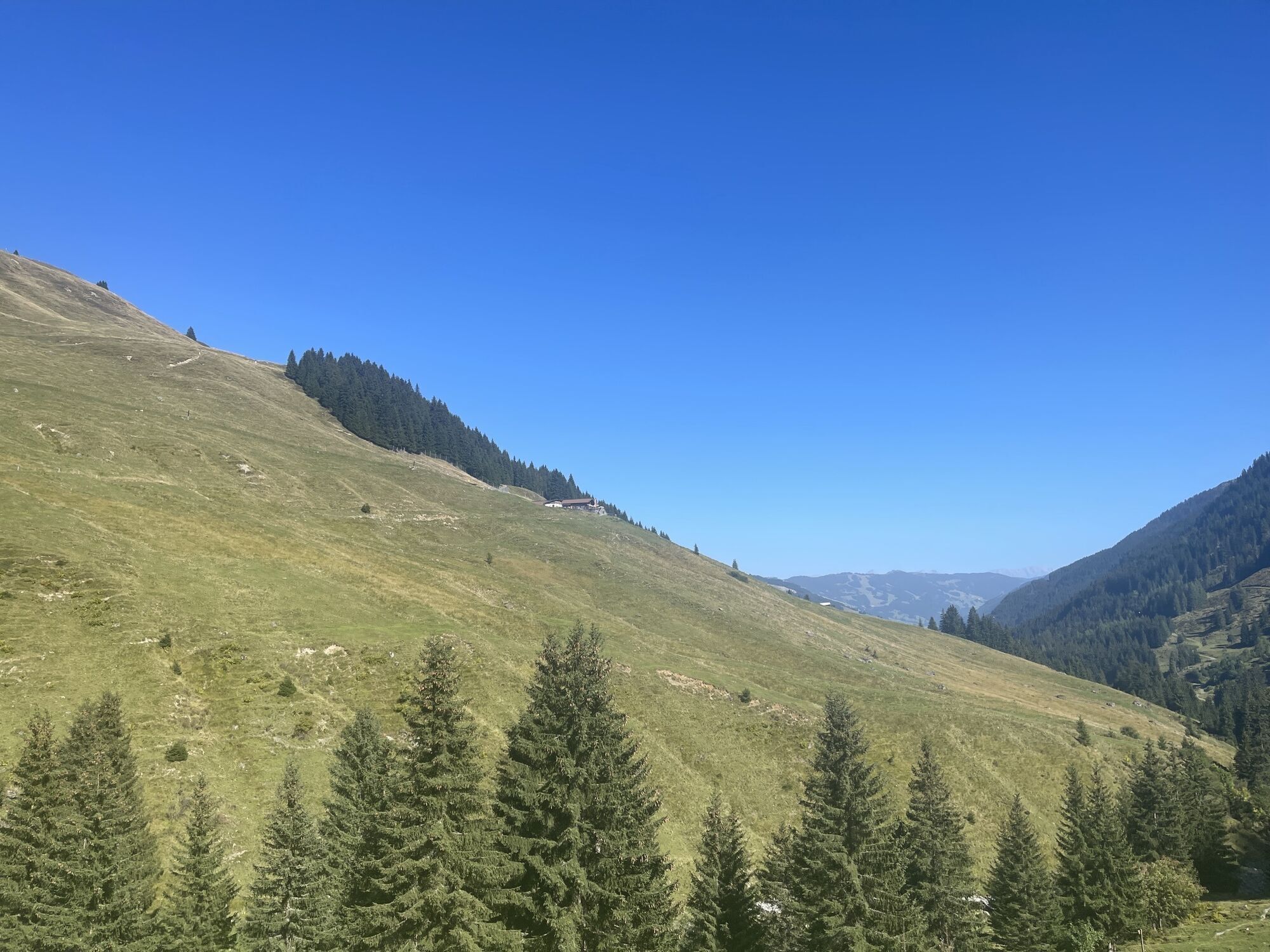
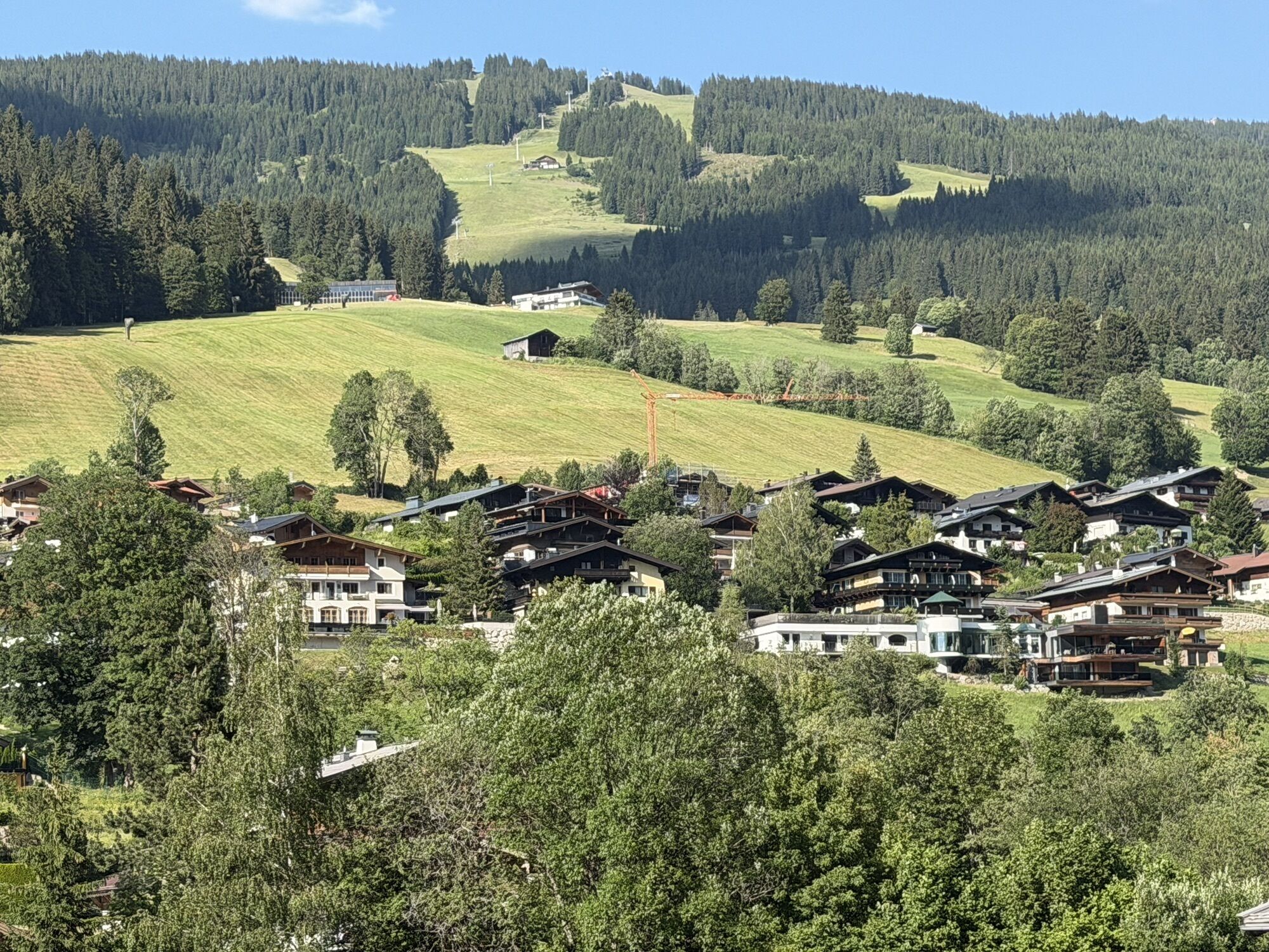
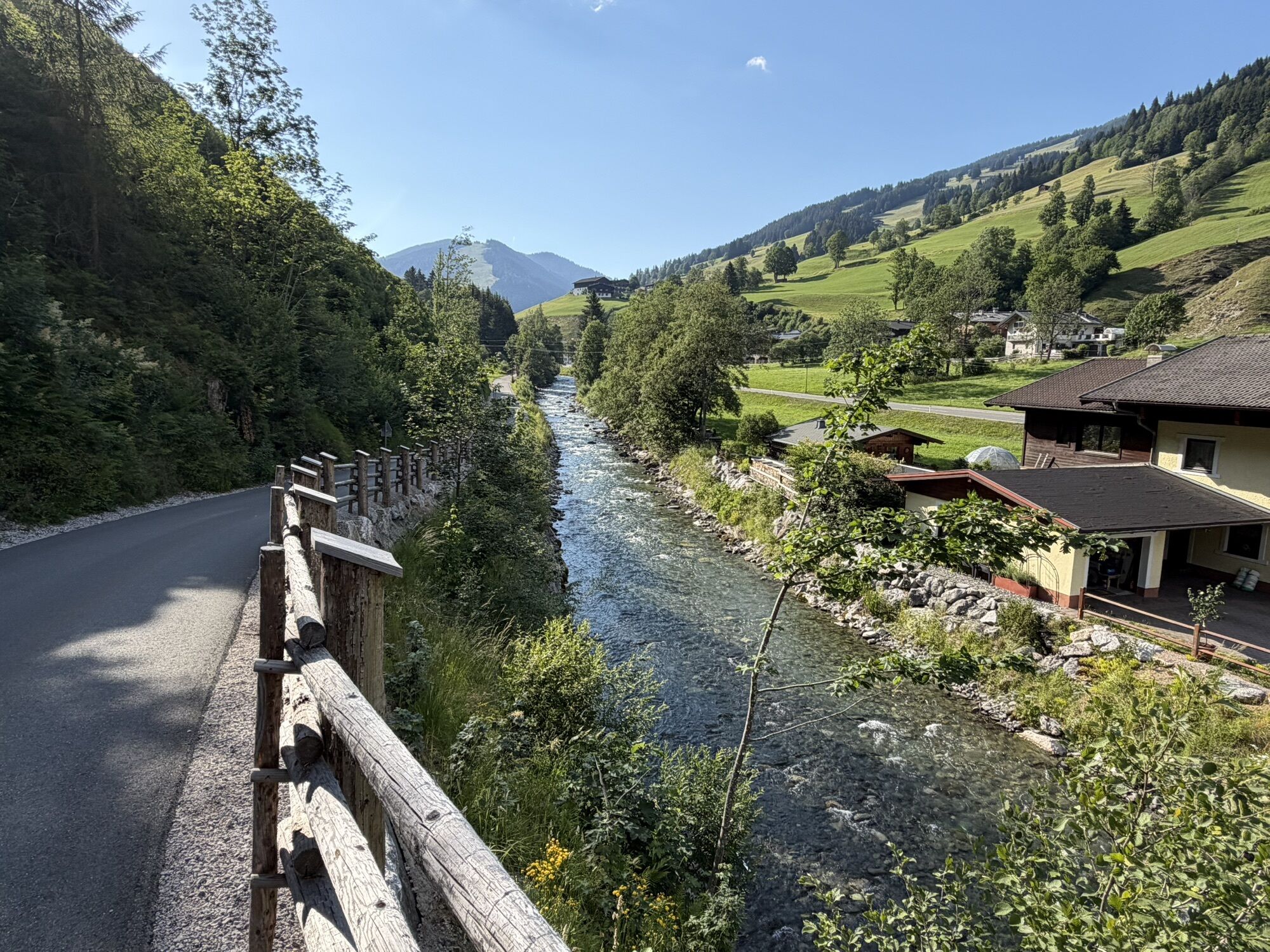


From Maishofen, you initially cycle partly on public roads, partly on the signposted bike path, up the Glemmtal valley to Lengau. The tour can also be shortened by roughly 40 km and 400 meters in elevation...
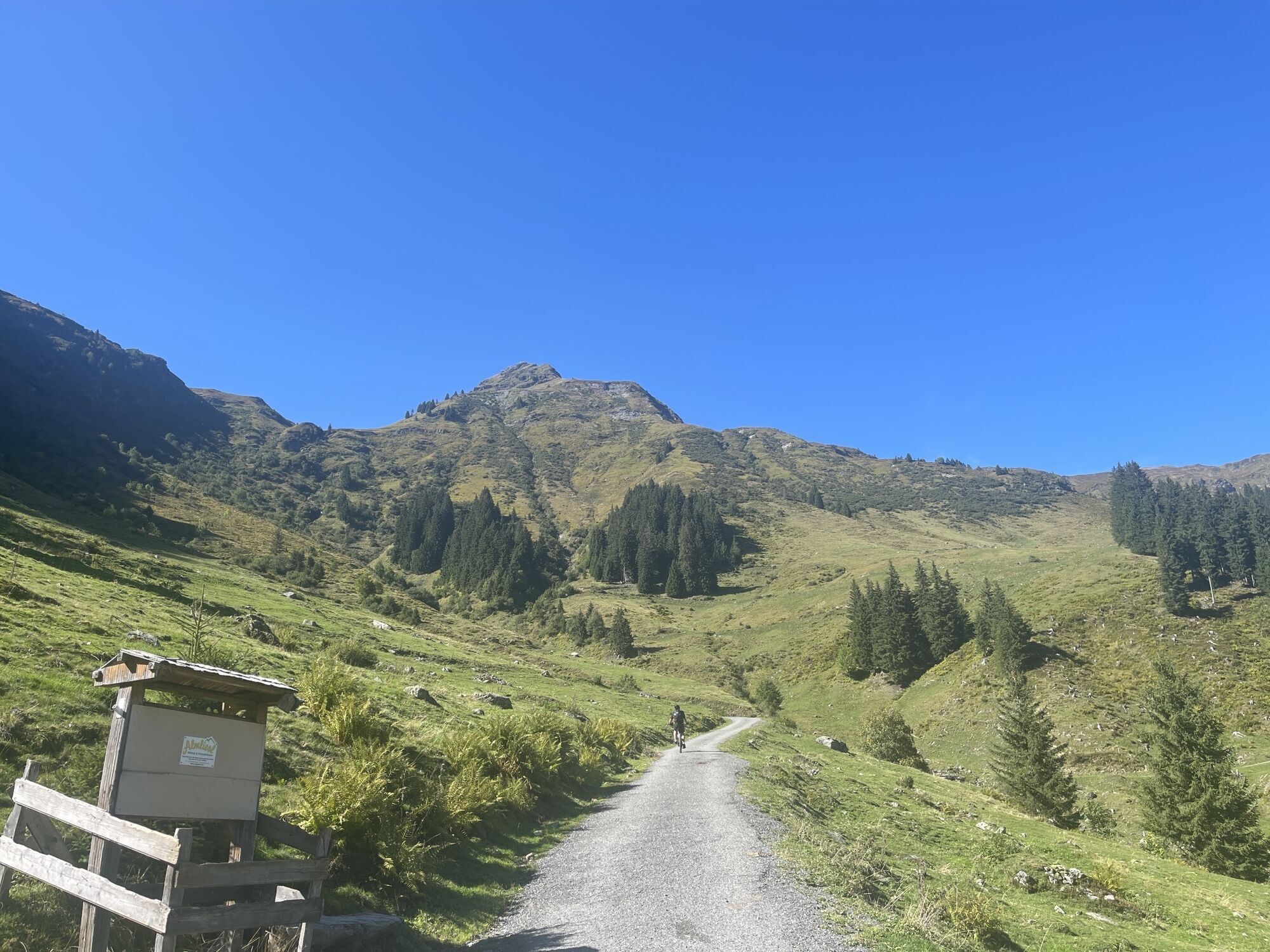
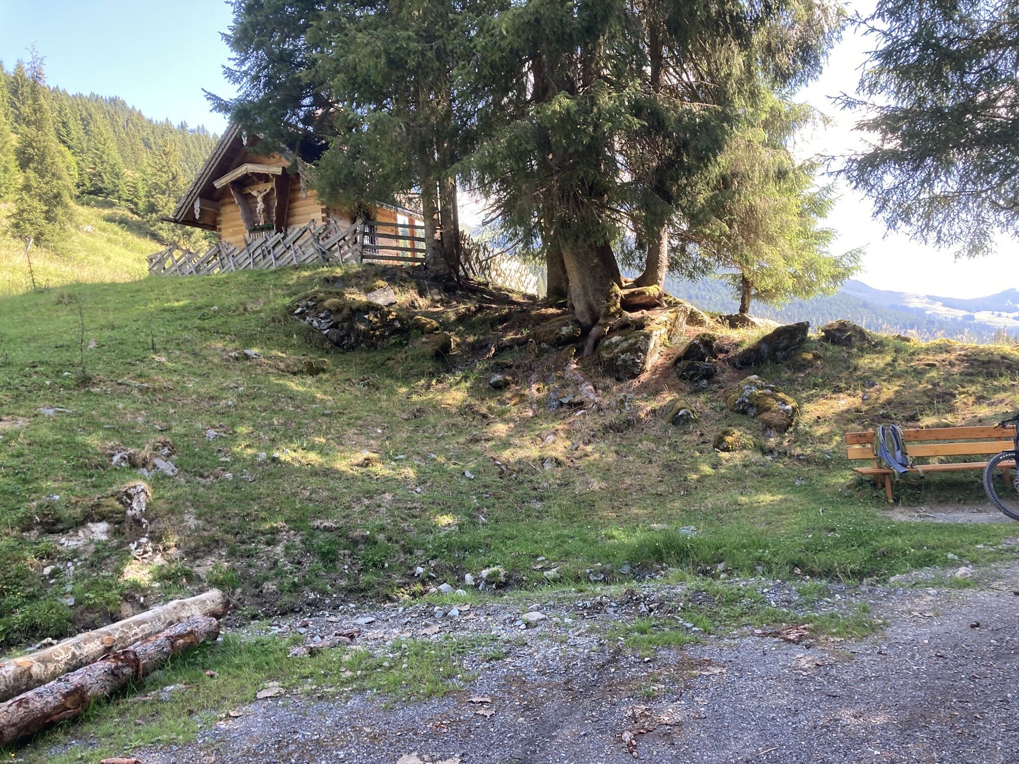
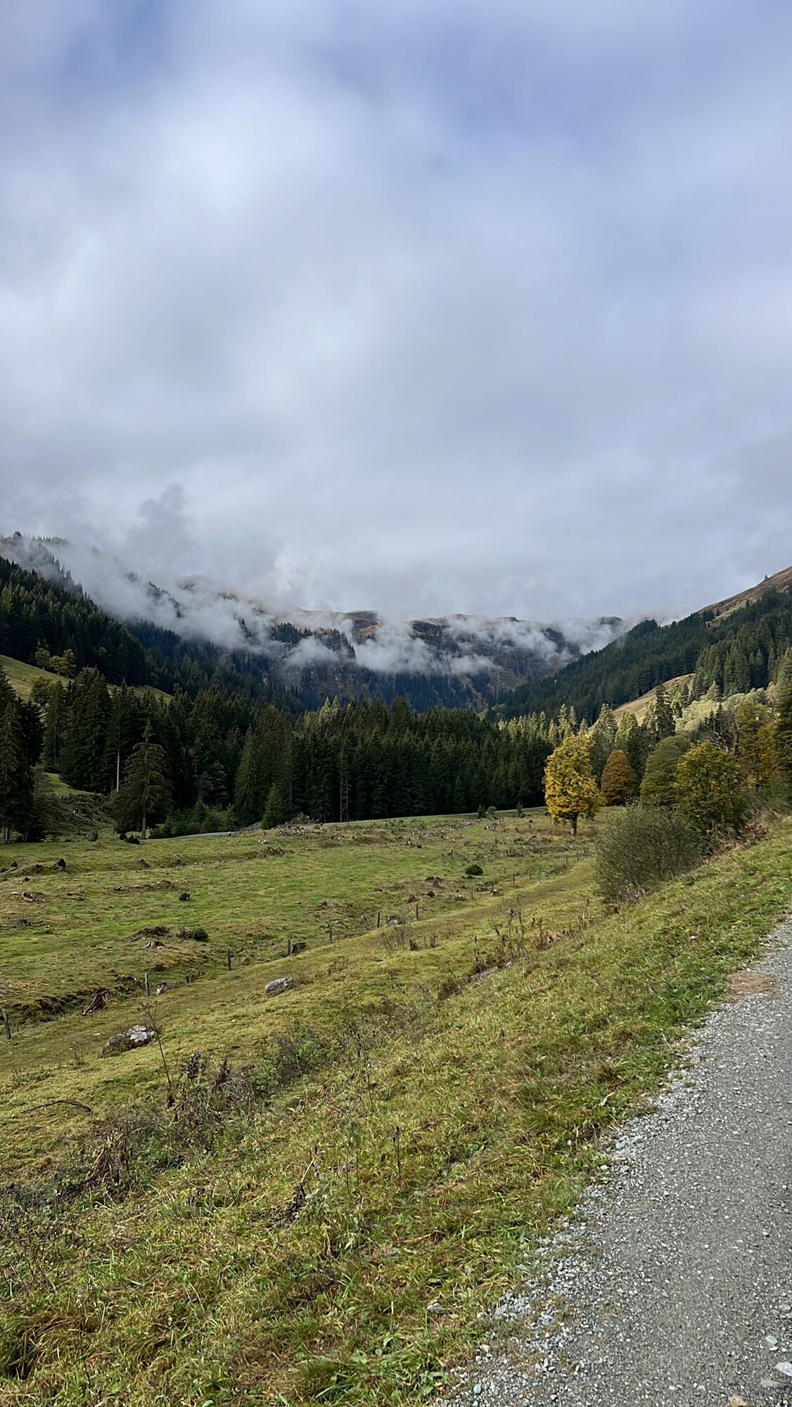
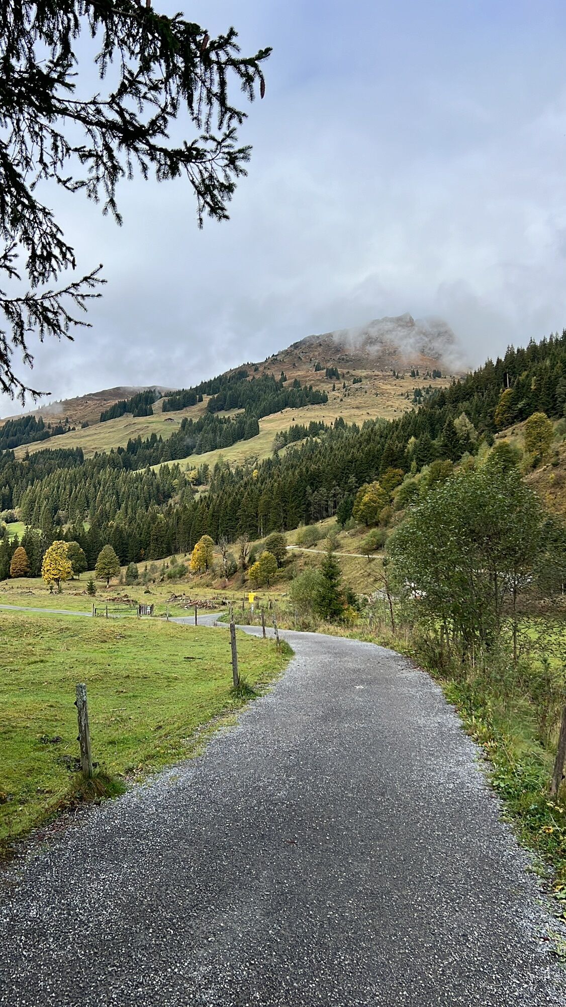
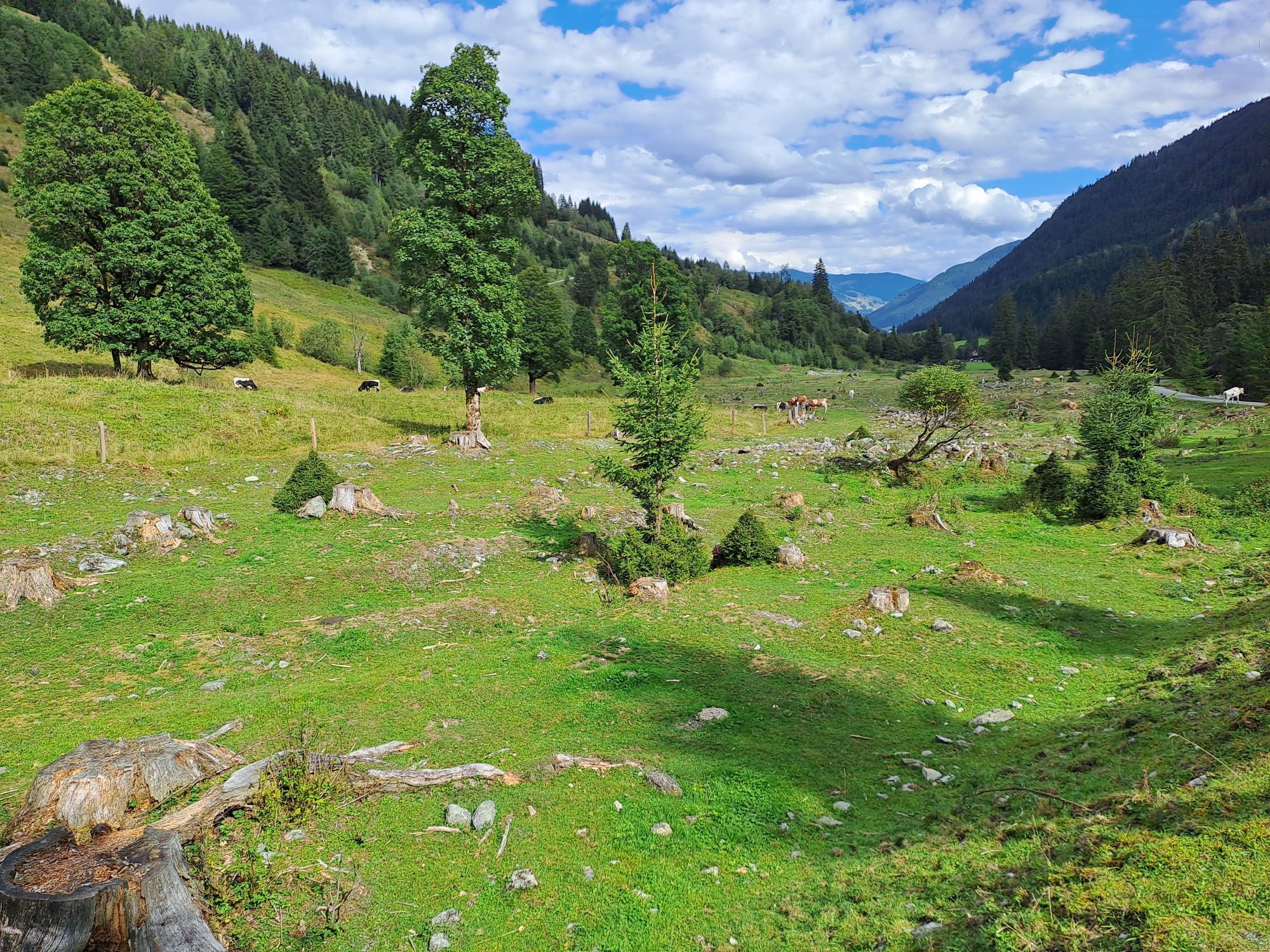
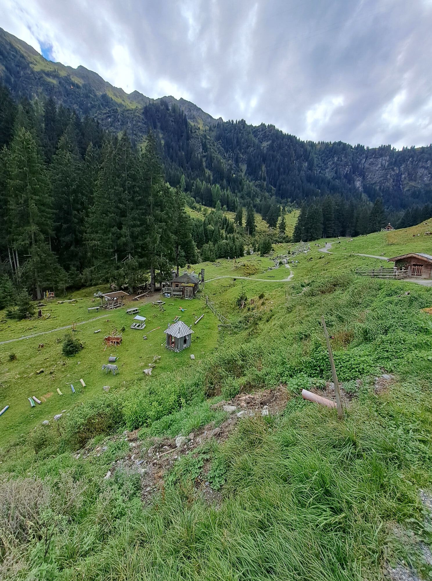
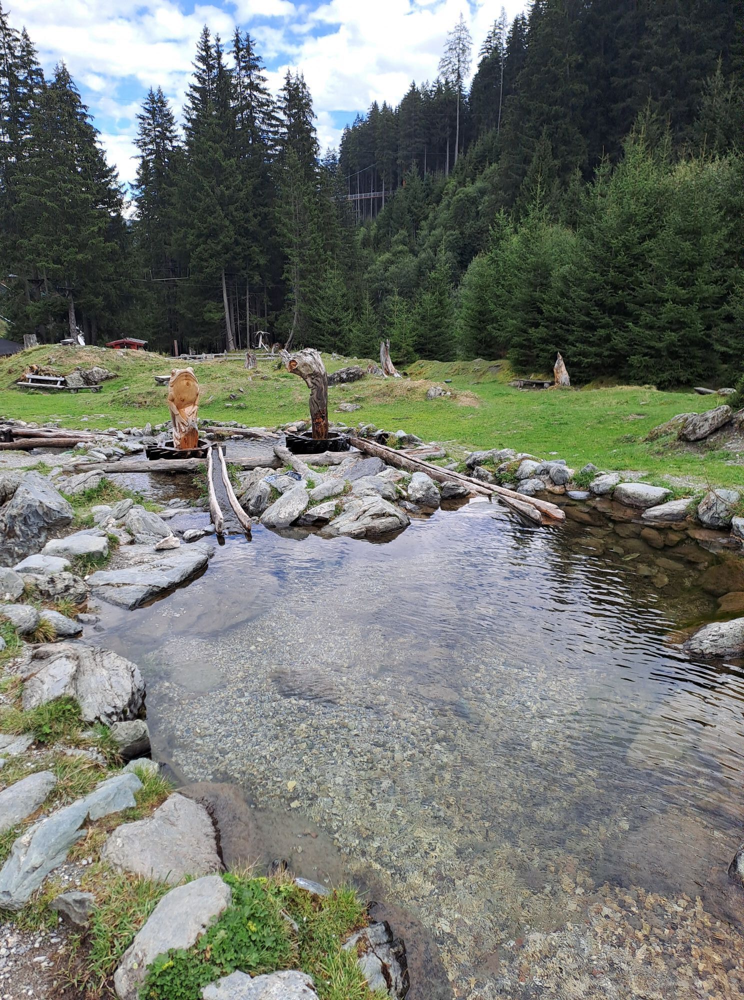
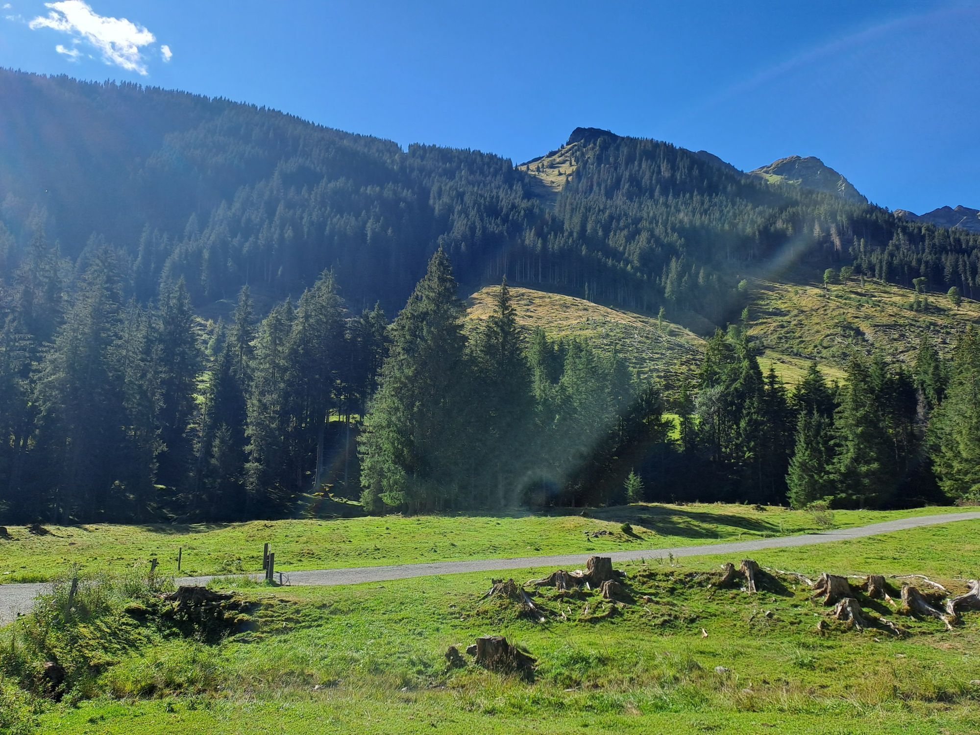
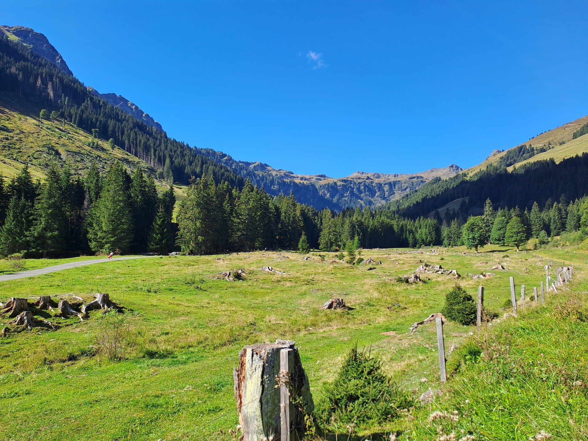
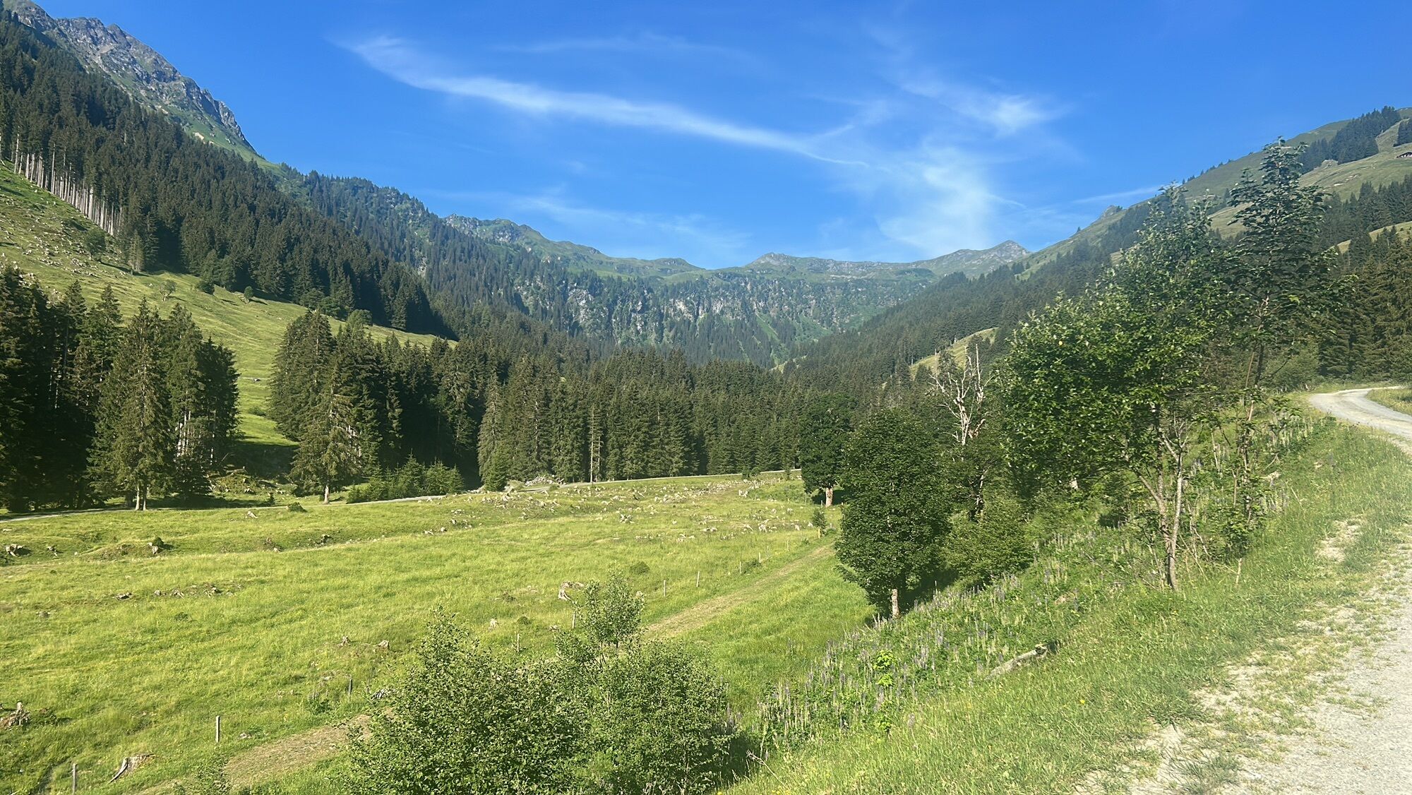
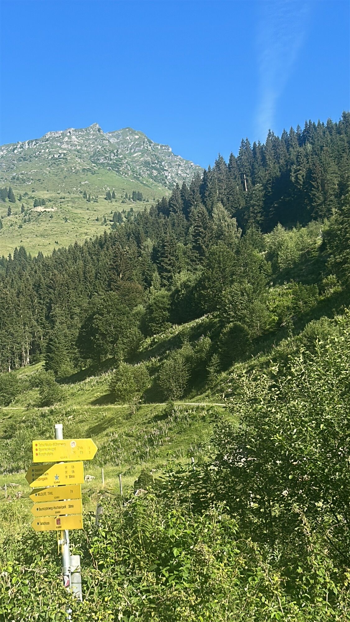
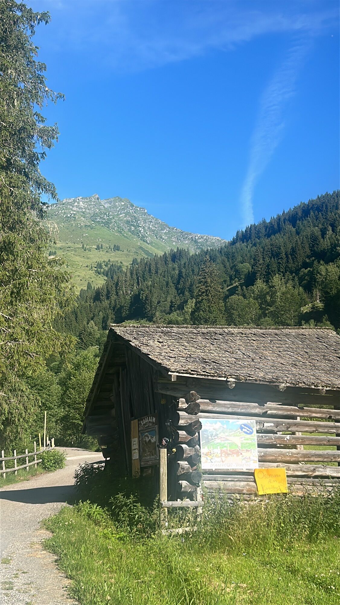
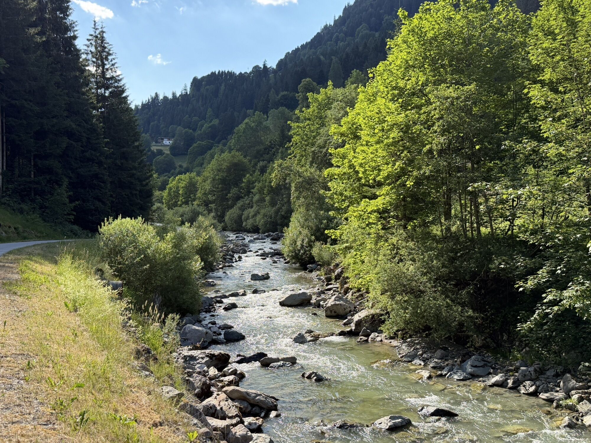
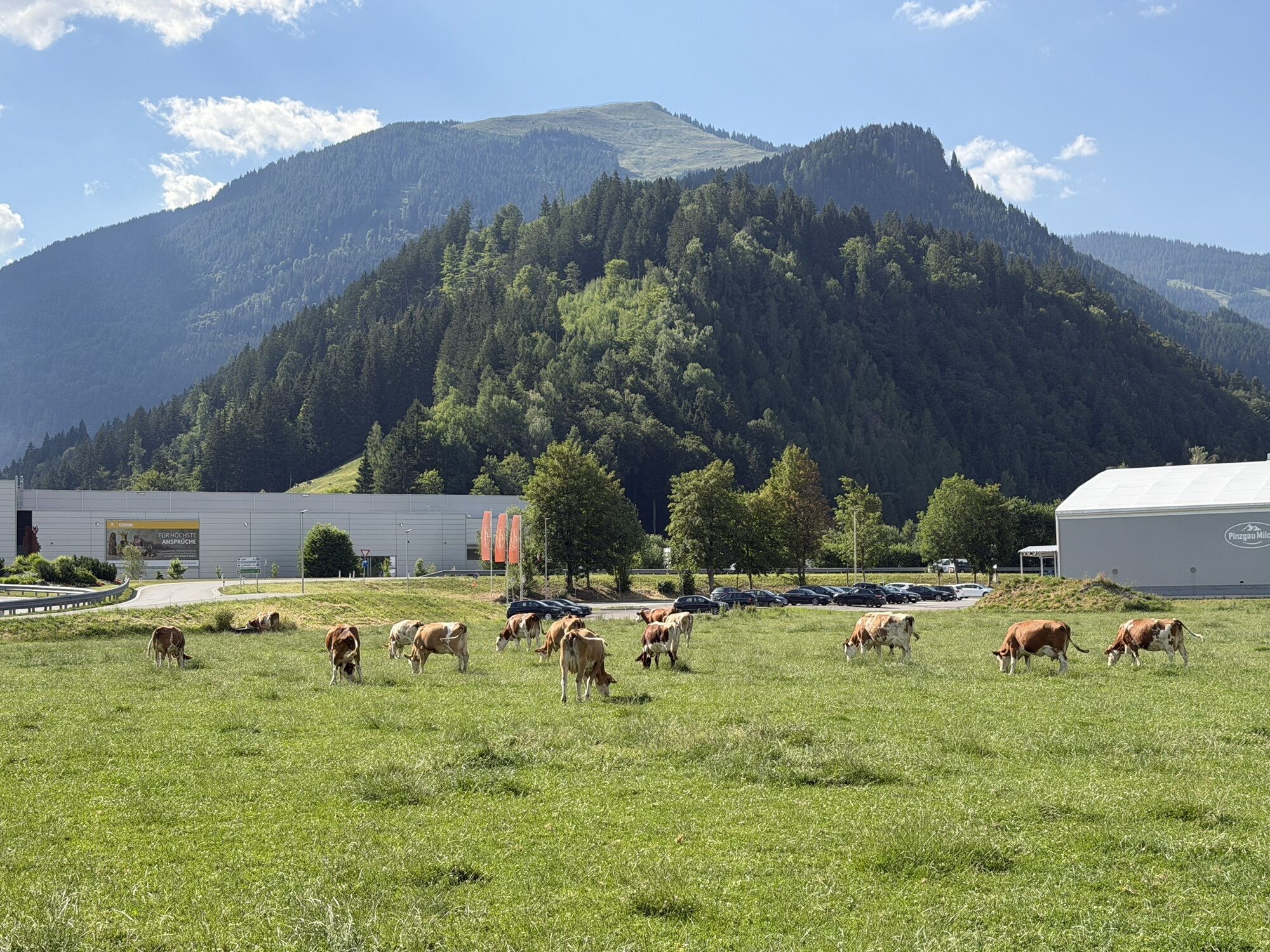
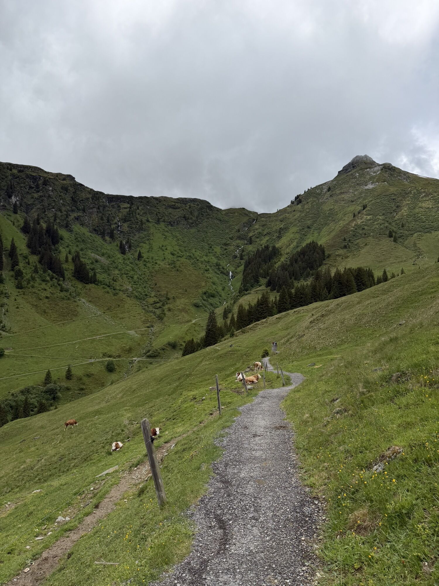
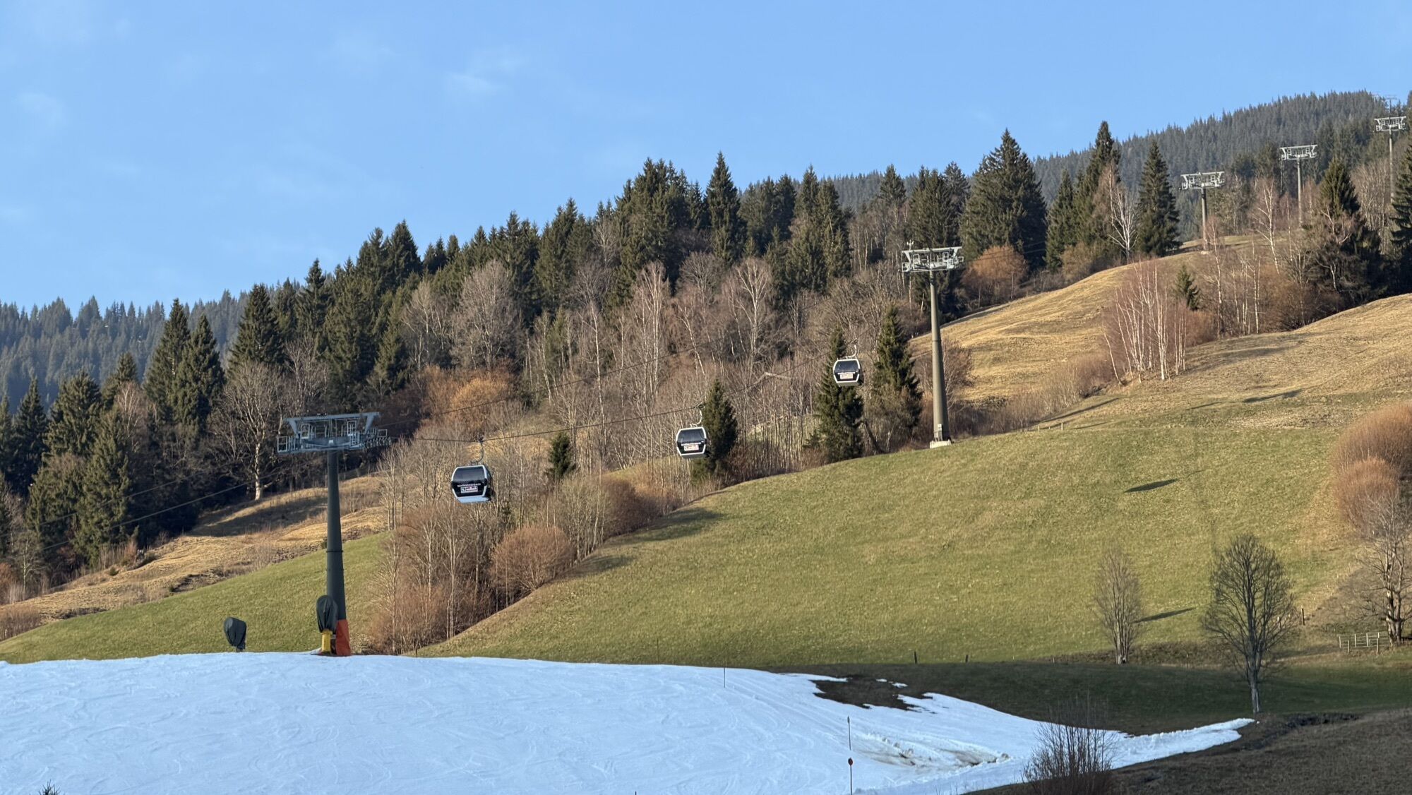
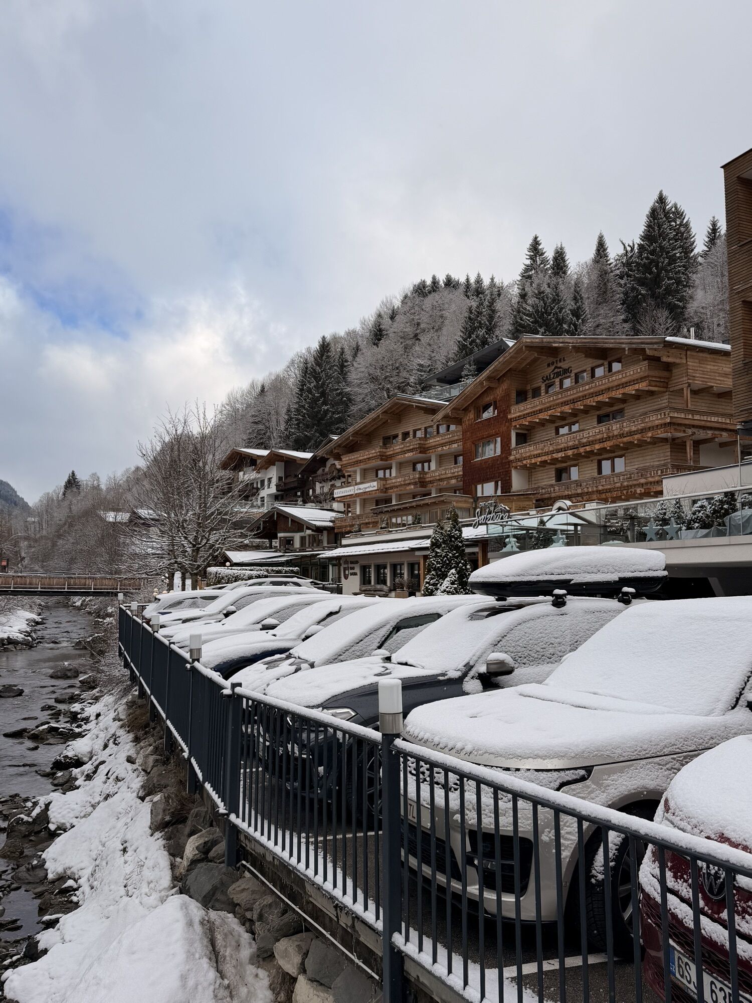
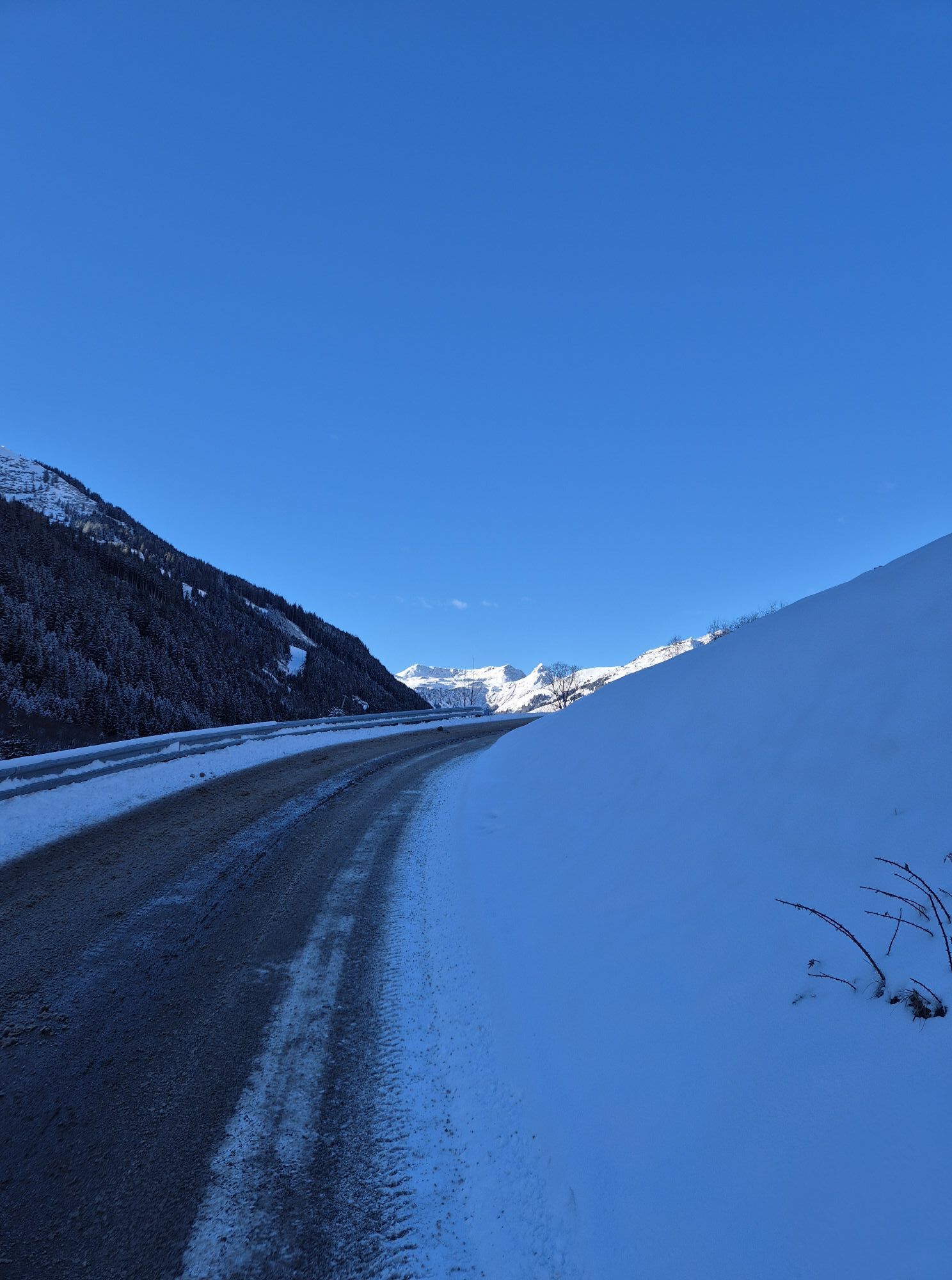
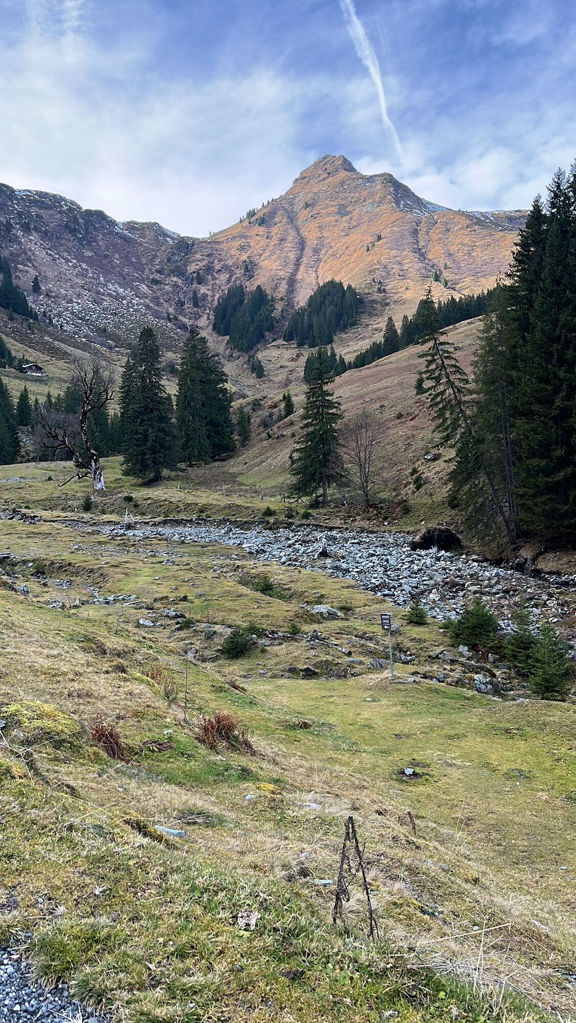
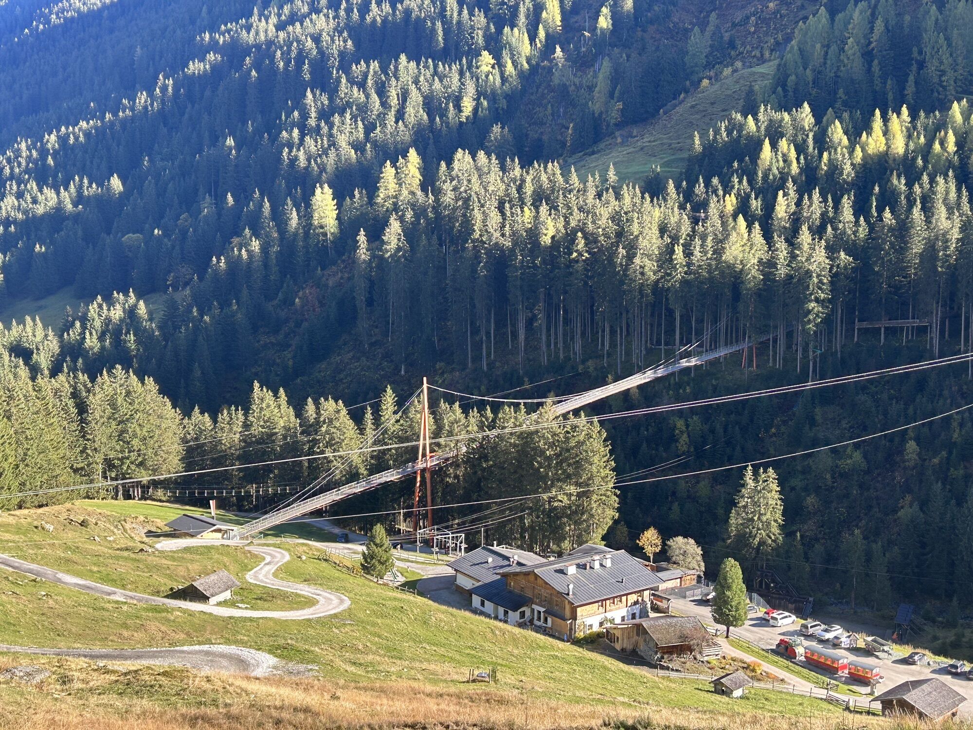
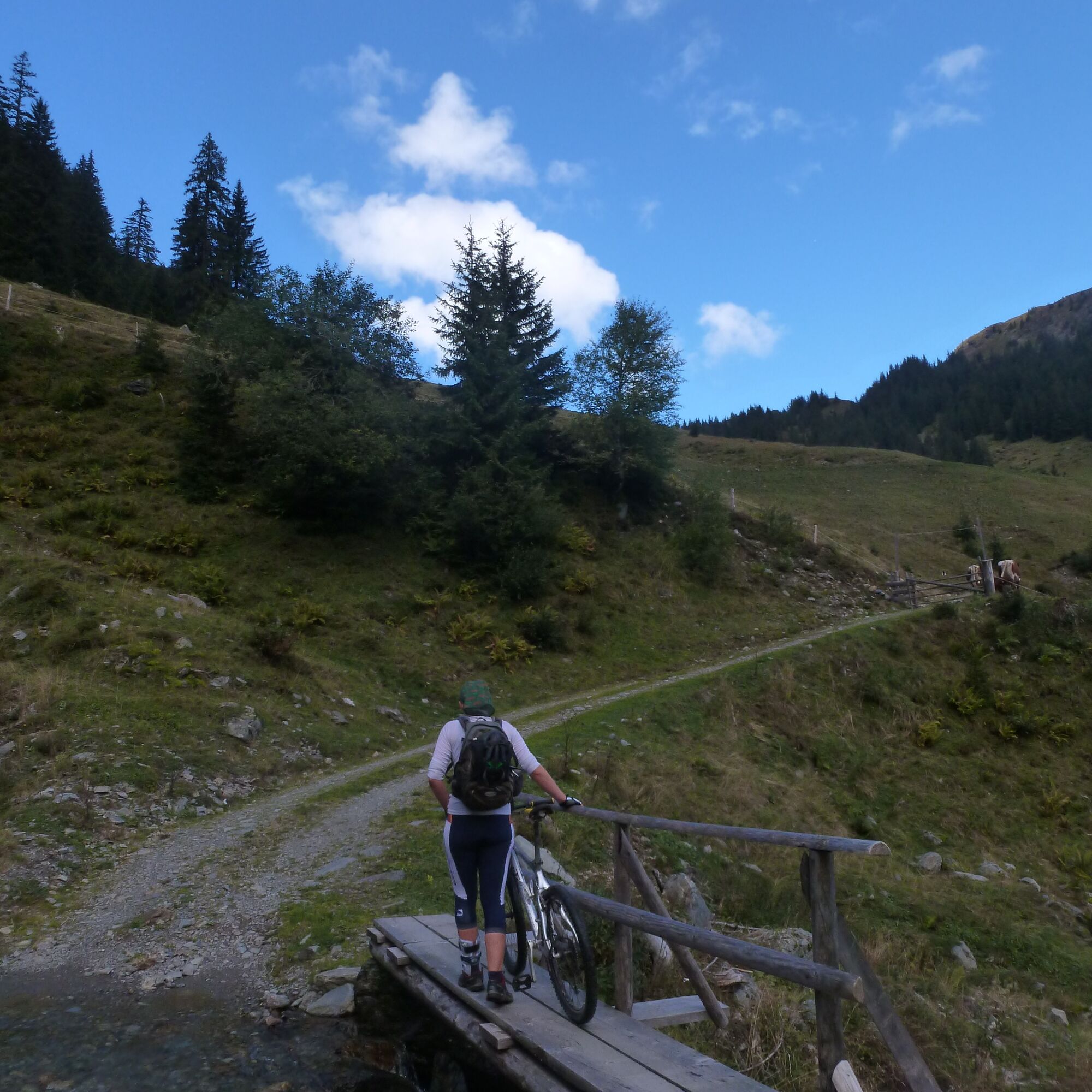
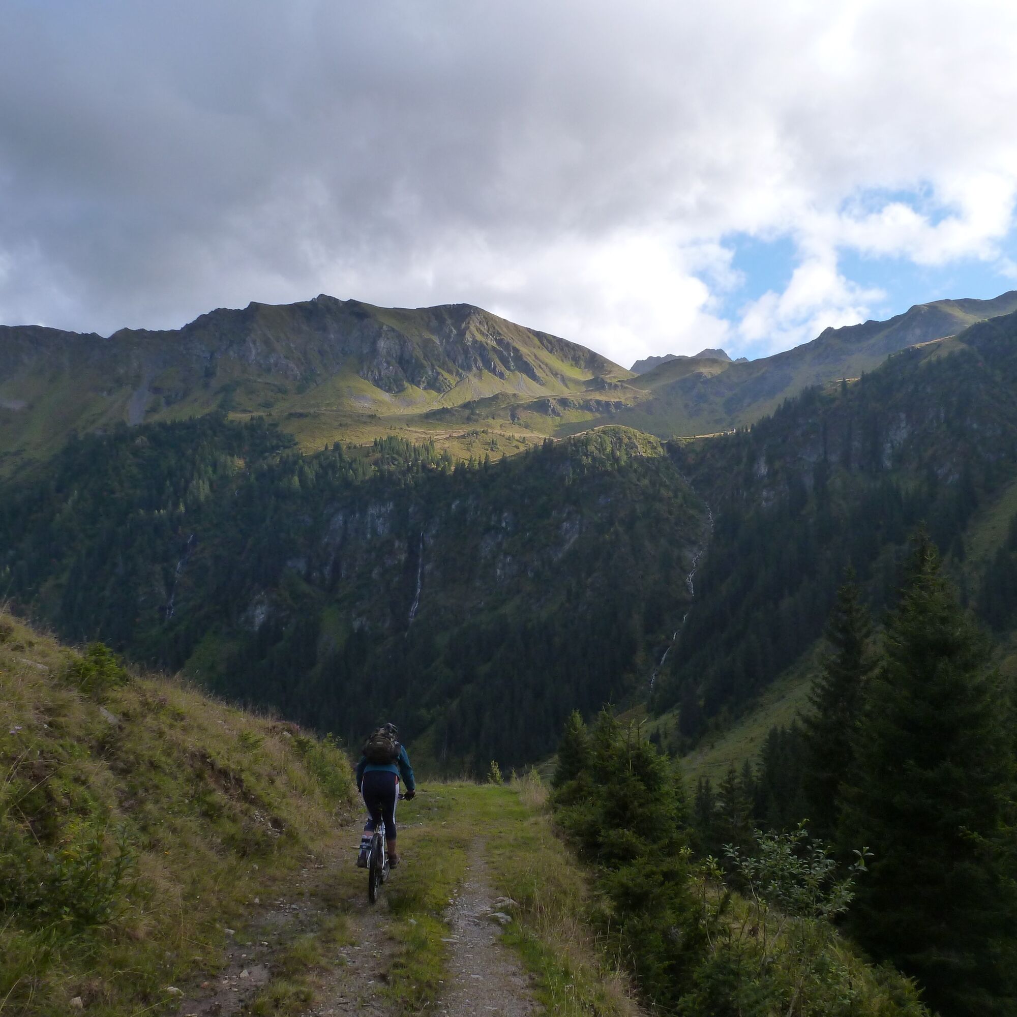
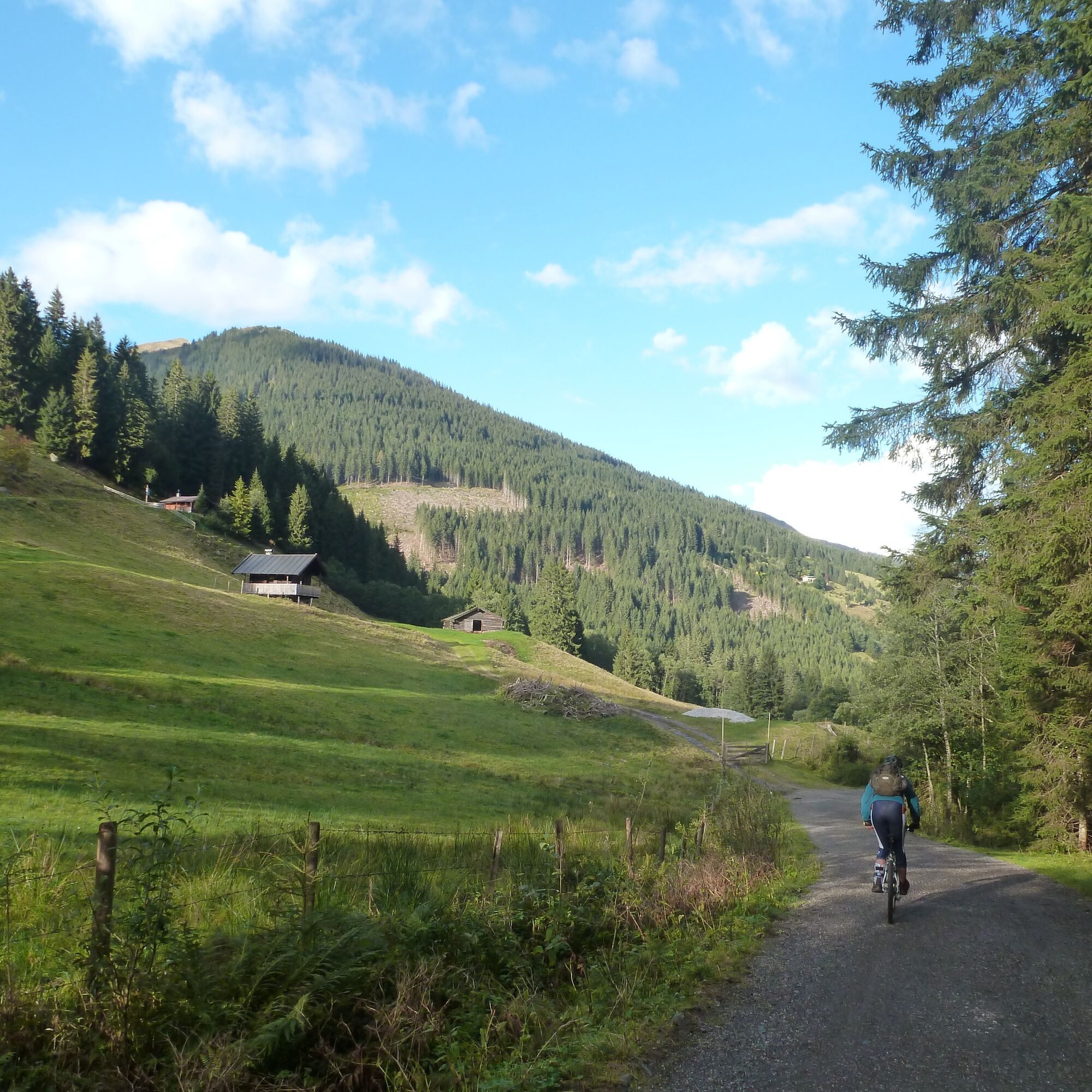
From Maishofen, you initially cycle partly on public roads, partly on the signposted bike path, up the Glemmtal valley to Lengau. The tour can also be shortened by roughly 40 km and 400 meters in elevation if you drive by car to Hinterglemm. At the end of the parking lot, follow the left road with a gentle incline toward Lindlingalm. You cycle past the alm and the high ropes course, then cross the stream side a few hundred meters further on a hiking trail bridge or a stream ford. Now it goes a bit steeper over idyllic alpine meadows to Saalalm. At the last hairpin before the alm, turn left (signposted), and in a few minutes reach Ossmanalm via two small stream crossings and a technically easy trail, the highest point of the tour (option: you can also follow the farm road a few meters uphill from Saalalm to Schemalm, cross the stream above and descend on a technically easy trail to Ossmanalm. About 20 minutes additionally. Marking 222, 712). From Ossmanalm, go back downhill to Lindlingalm. About a hundred meters after the alm, you have the option to descend on the left via a variant to the ascent path (marking P3), which is sunnier especially in the afternoon. From the Lengau parking lot, follow the same route back to Maishofen.

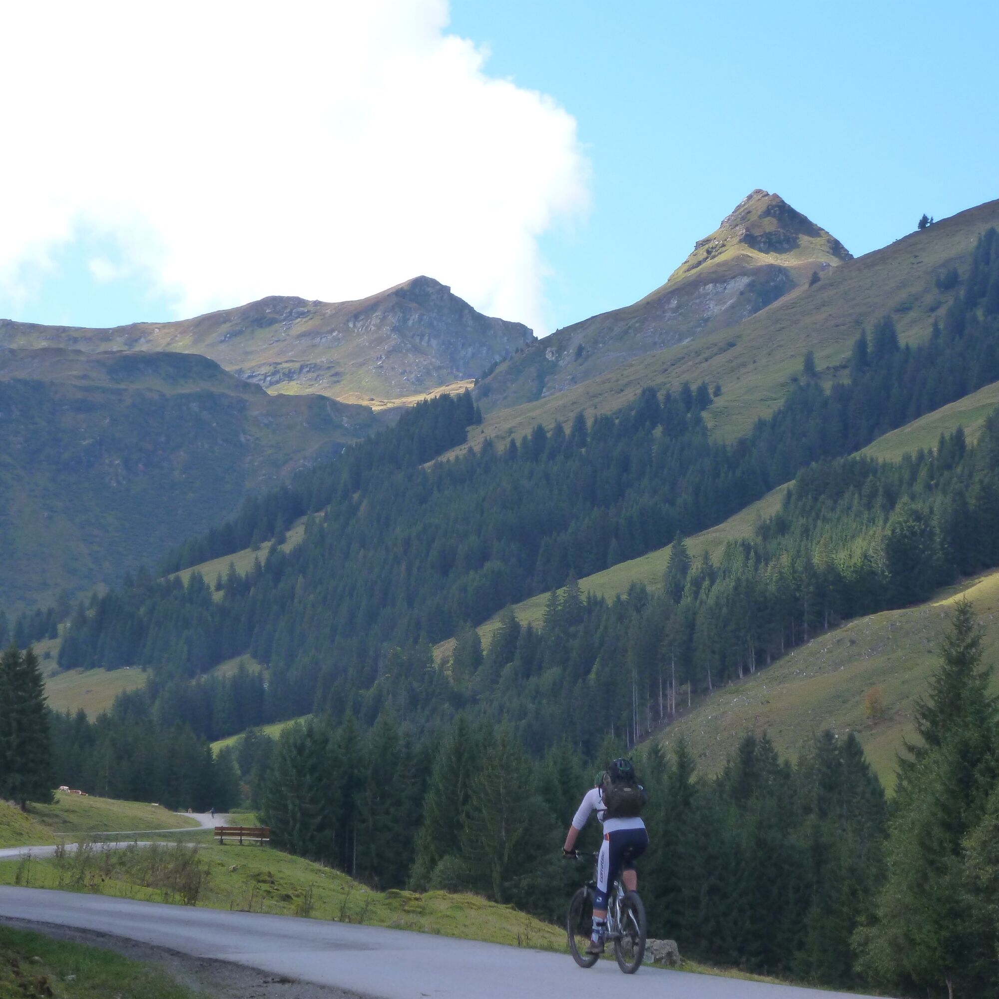
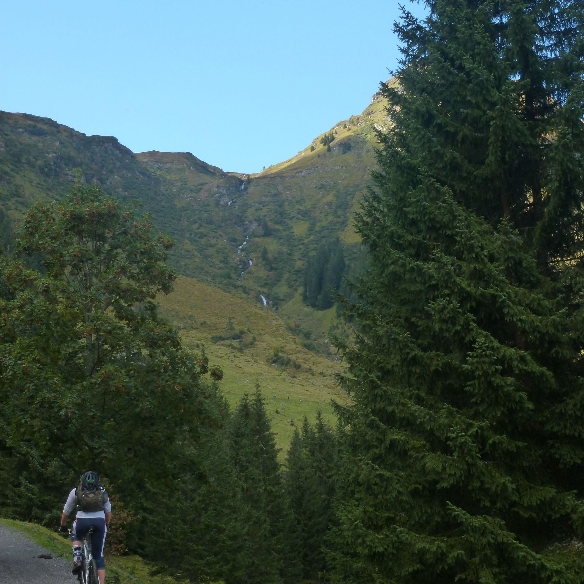
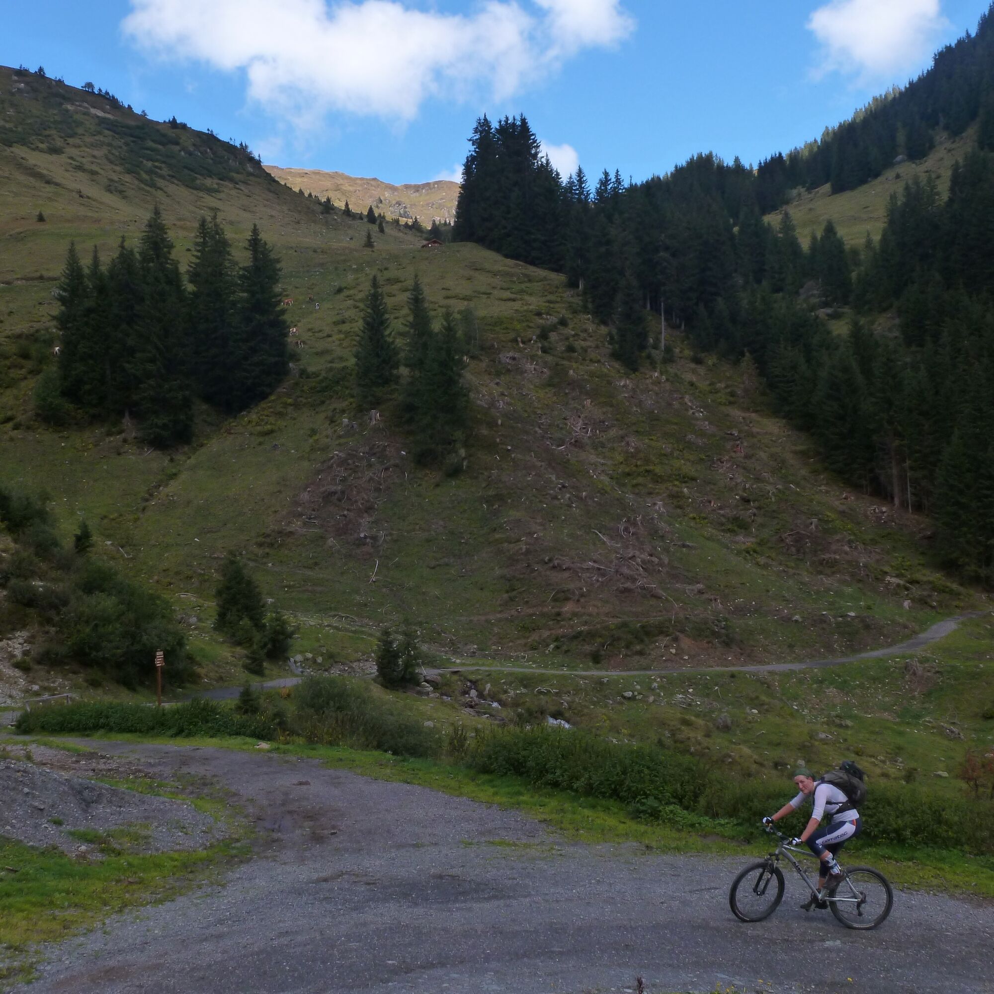

Asphalt and gravel, short but very easy to ride trail sections. Mostly gentle climbs, only briefly steeper in the last meters.
Ano
In Pinzgau, the region is very accommodating to mountain bikers. Significantly more roads and paths are open than elsewhere. If a route is closed, please strictly observe the driving ban, as it is not meant to spoil our fun but primarily for serious reasons: closed roads and paths are usually not worthwhile for bikers or there is danger, such as from forestry work.
If necessary, from Maishofen through the Glemmtal to the free parking lot in Hinterglemm-Lengau (23 km, approx. 25 min.).
Various public parking lots in Maishofen/walking parking lot Lengau
High ropes park Lindlingalm: www.lindlingalm.at/saalbach-hintergle...
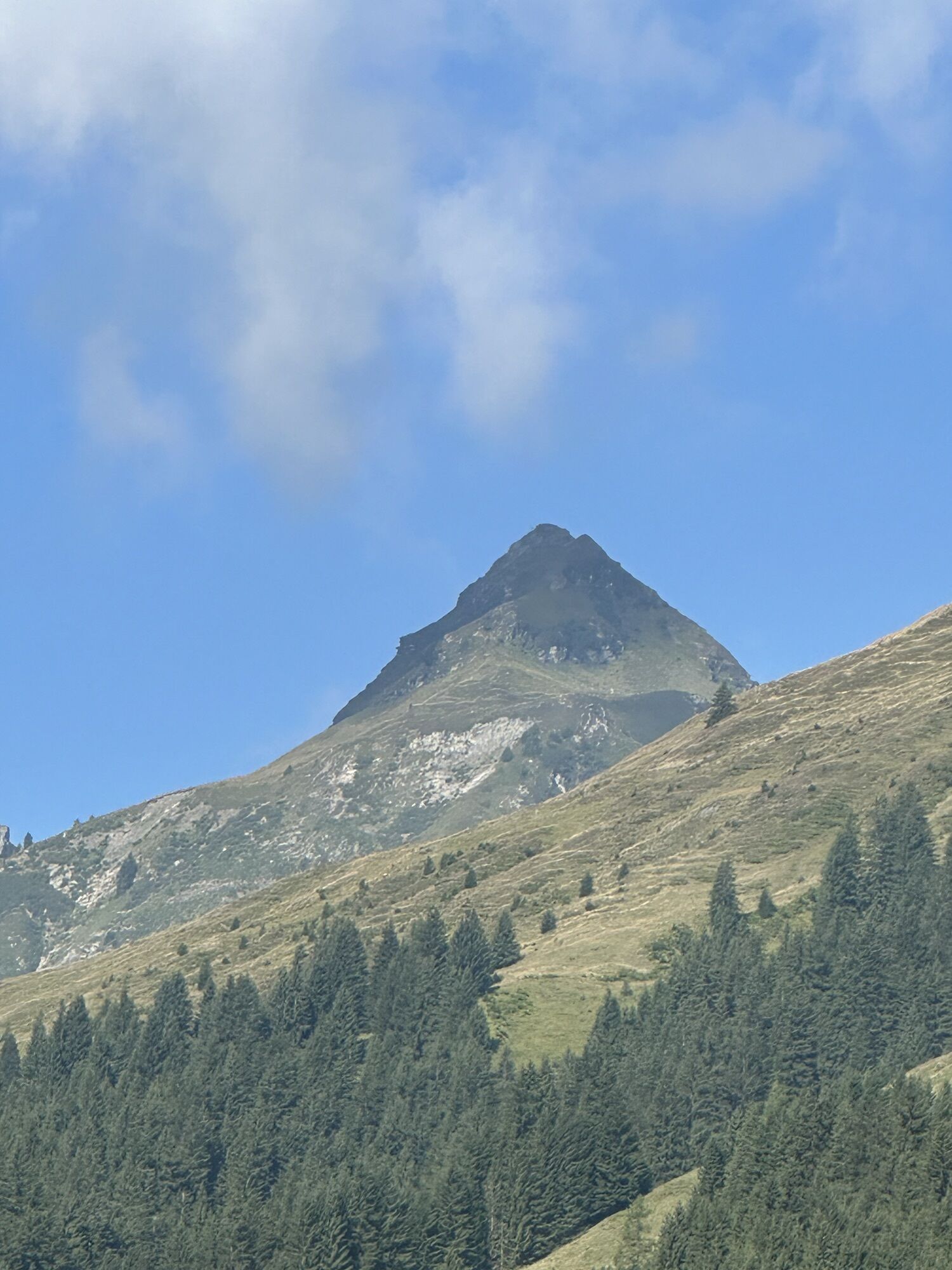
The tour can be excellently combined with a summit ascent in the Glemmtal valley. Recommended, for example, is the Tristkogel, the striking rock pyramid dominating the valley end. For families, a combination with the high ropes course at Lindlingalm is suggested.

Webové kamery z prohlídky
-
Schmittenhöhe
-
Schattberg - West
-
Asitz Gipfel
-
Schattberg Westgipfel
-
Kohlmais Tal
-
Sonnkogel
-
Schmittenhöhe
-
Mitterberg bei Thumersbach
-
Zell am See / Hotel Berner
-
Schmittenhöhe
-
Schmittenhöhe
-
Zell am See
-
Hinterglemm - Saalbach
-
Großer Asitz / Gipfelkreuz
-
Thumersbach
-
Saalbach-Hinterglemm - Schattberg Ost
-
Saalbach-Hinterglemm - Zwölferkogel
-
Saalbach-Hinterglemm - Wildenkarkogel
-
Saalbach - Hotel Alpinresort
-
Zwölferkogel
-
Wildenkarkogel
-
Maishofen Sausteige
-
Maishofen - Schloss Kammer
-
Saalbach-Hinterglemm - Kohlmais
-
Leogang - Grosser Asitz
-
Maishofen Dorfplatz
-
zellamseeXpress
-
Martenhof
-
Wohlfühlhotel-Johanneshof
-
Eberharthof - Saalbach-Hinterglemm
-
Hochalm Mittelstation
-
Hochalm Mittelstation
-
Schmittenhöhe


Oblíbené prohlídky v okolí
-
4.4
Kitzbüheler Horn über Horn-Gipfel-Höhenweg
středníTematická stezka 5.30 km -
4.3
Maurerkogel (Top)
Turistika 10.5 km -
4.2
Panoramarundweg am Hahnenkamm
světloTuristika 3.02 km -
4.7
Streif Wanderweg
středníTuristika 5.73 km -
4.7
Panorama route 3 peaks and 2 lakes
středníTuristika 7.21 km -
4.7
St. Johann in Tirol: Wasserfall & 3 Seen am Kitzbüheler Horn
středníTuristika 12.7 km -
4.5
Kitz Bhf- Kitzbühler Horn und zurück zum Alpenhaus
středníTuristika 11.8 km -
4.7
Tristkogel
heavyTuristika 15.6 km -
3.9
Hollersbach: Pihapper path no. 935
heavyTuristika 12.8 km -
4.8
Fieberbrunn- Wildseeloderhaus- Rund um die Henne/Hochhörndlehütte
středníTuristika 8.02 km
Pěší turistika a stopování


Nenechte si ujít nabídky a inspiraci pro vaši příští dovolenou
Vaše e-mailová adresa byl přidán do poštovního seznamu.


