


MTB Tour - Hundstein Round (Tour 5)


The Hundstein. The royal stage of every bike week. A performance test for bike pros, a challenge for every ambitious mountain biker. Every year in September, the local mountain biking elite compete here...
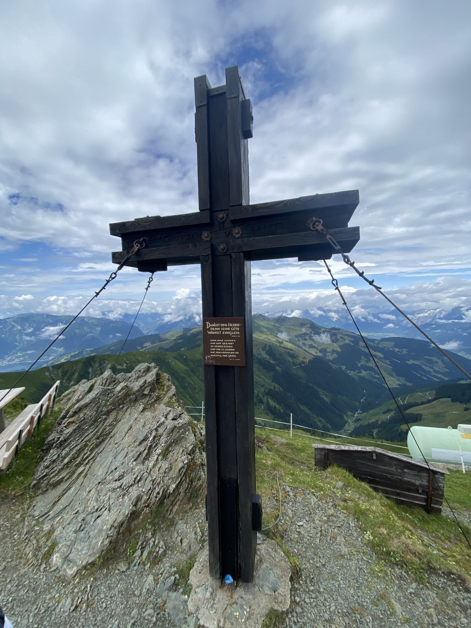
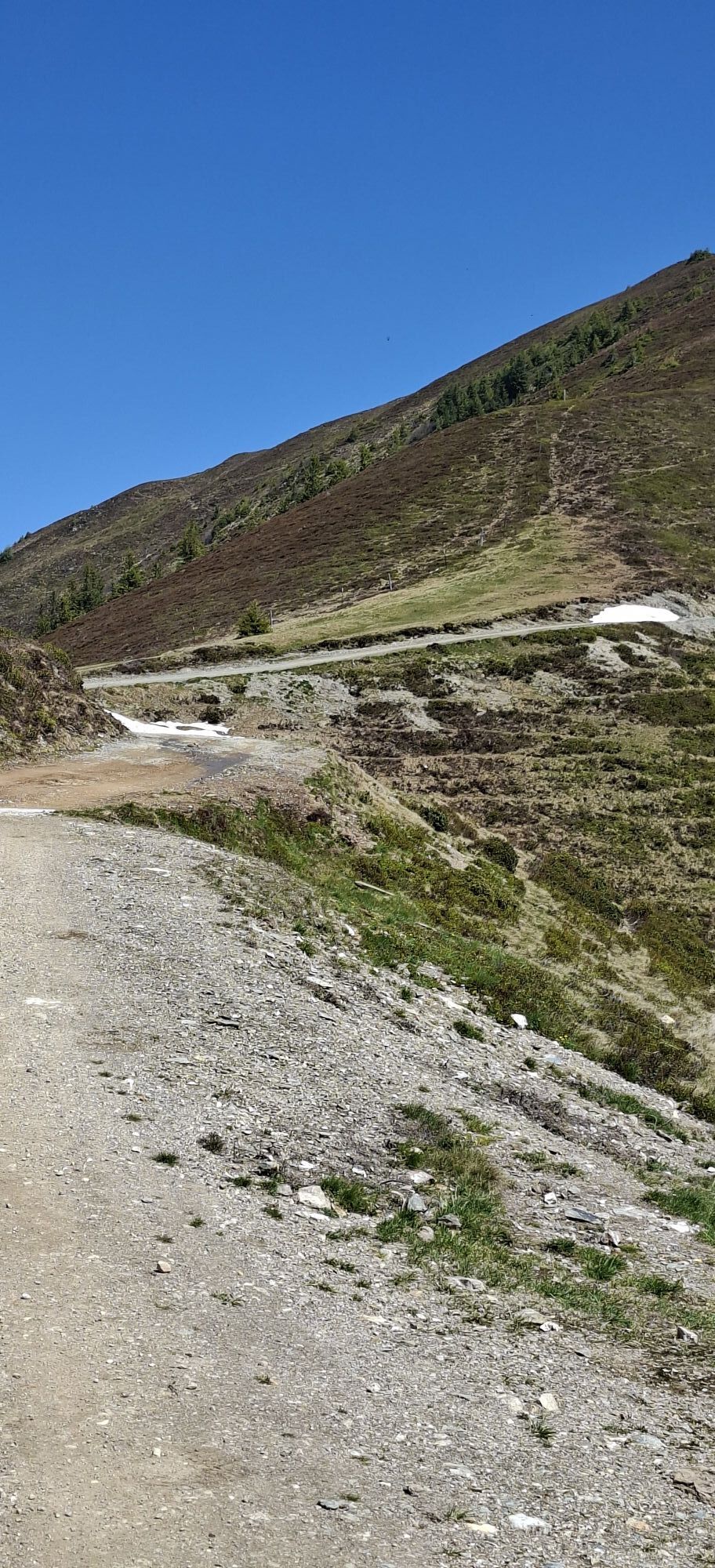
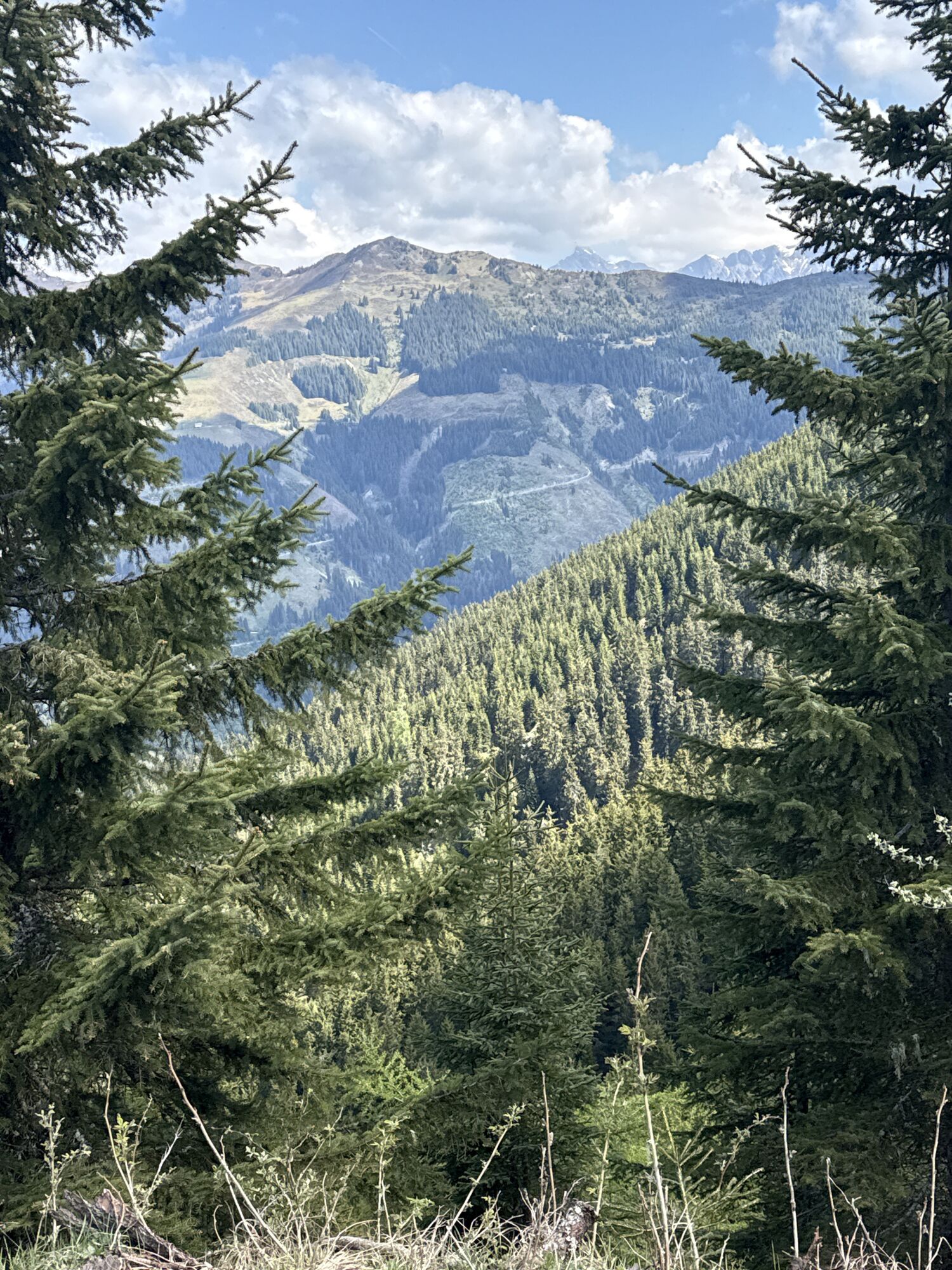
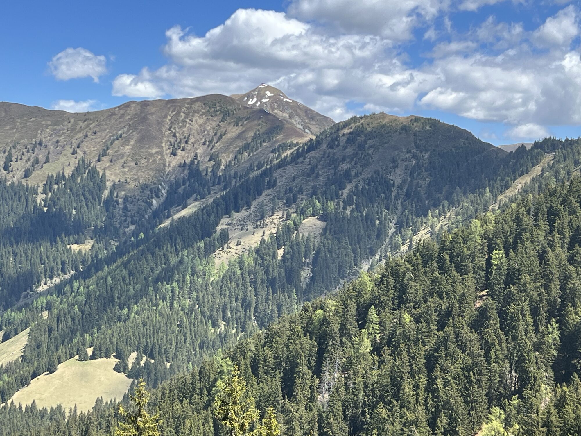
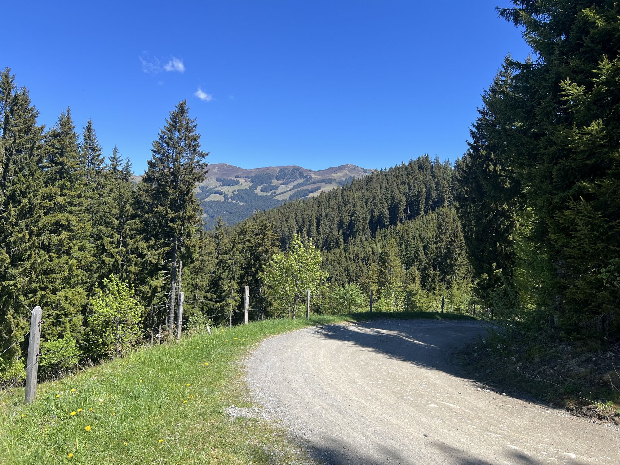
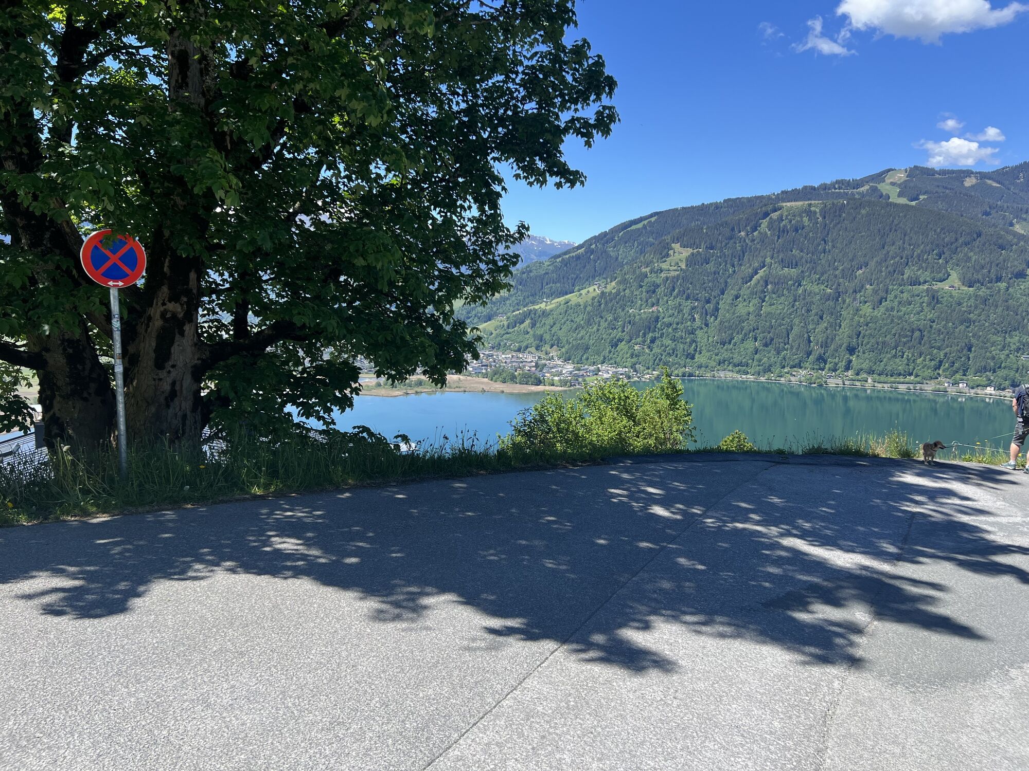
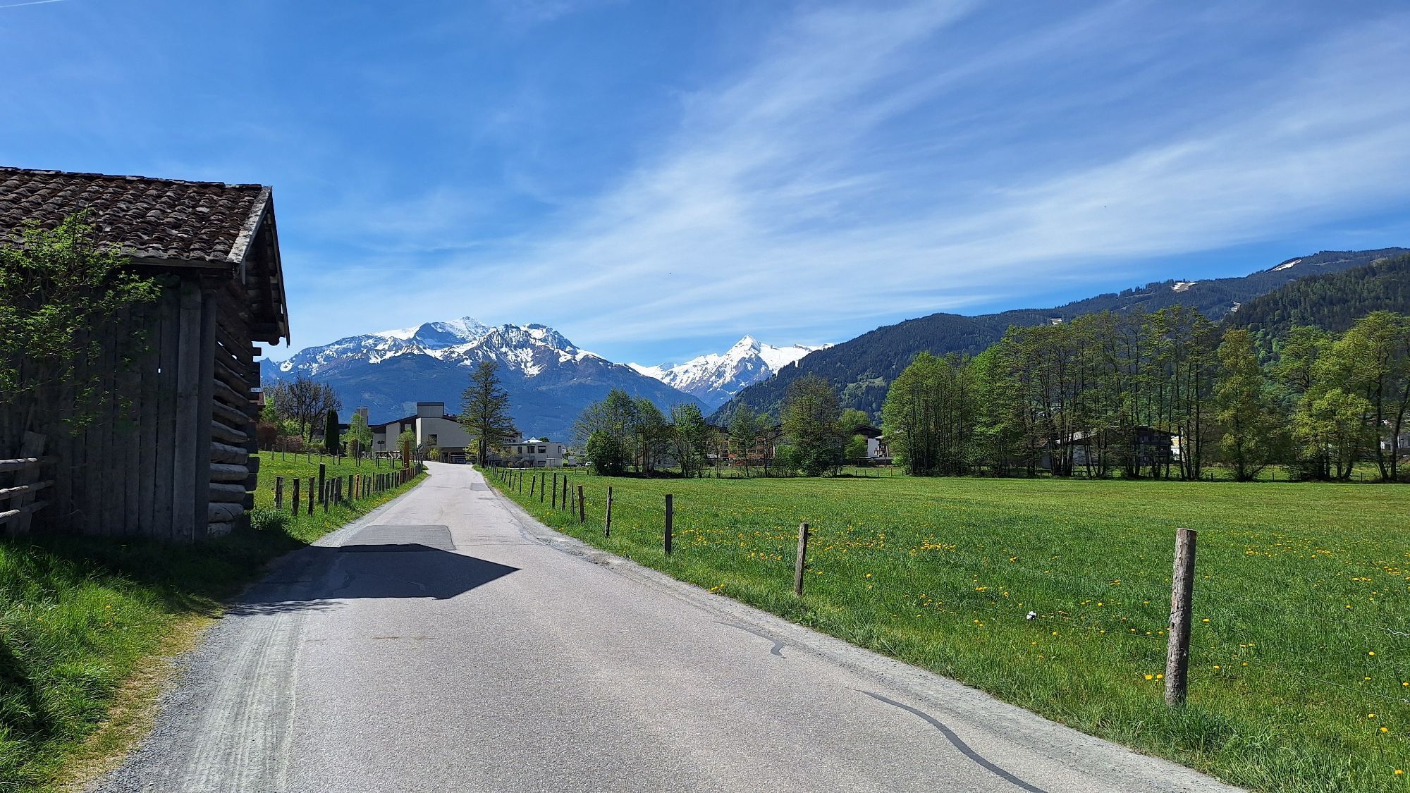
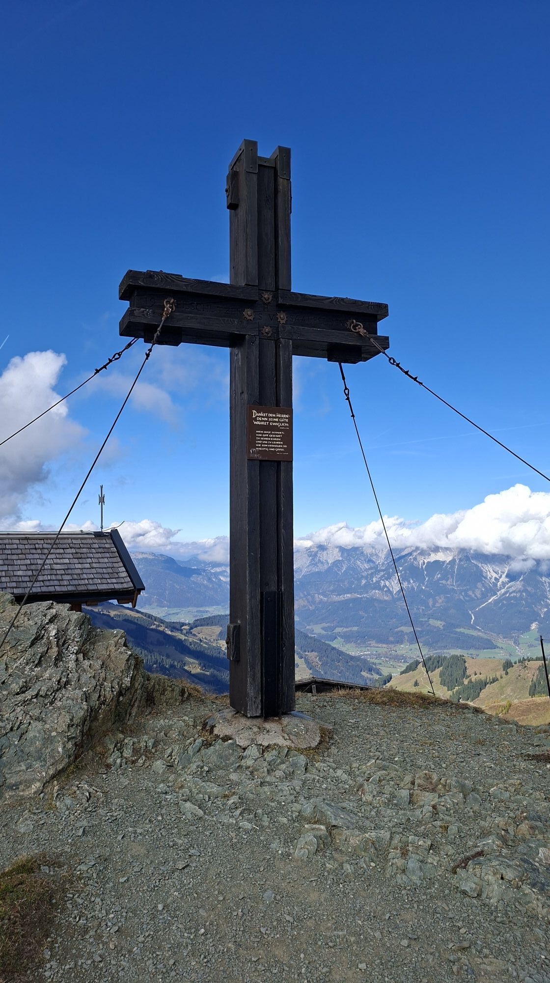
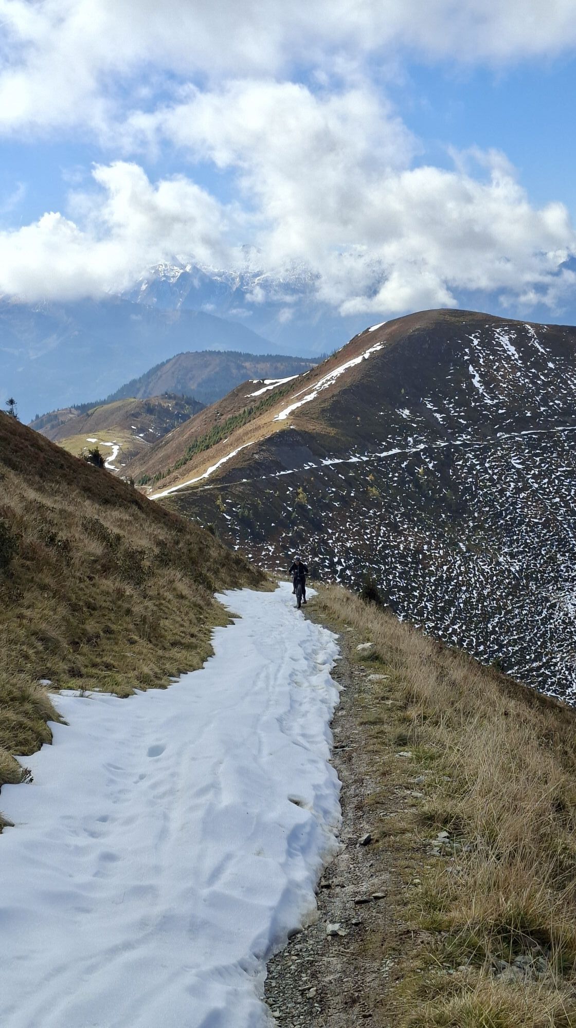
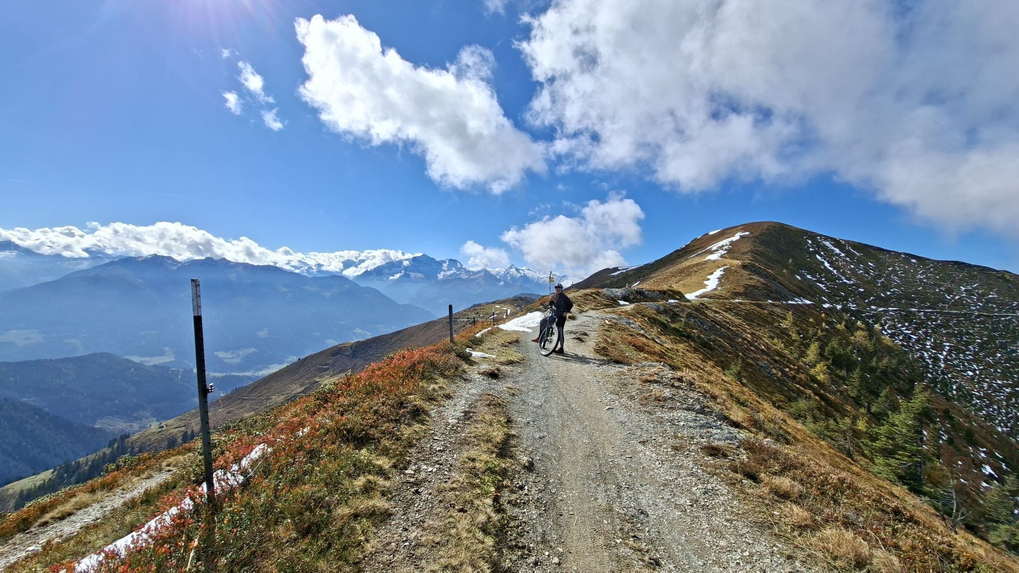
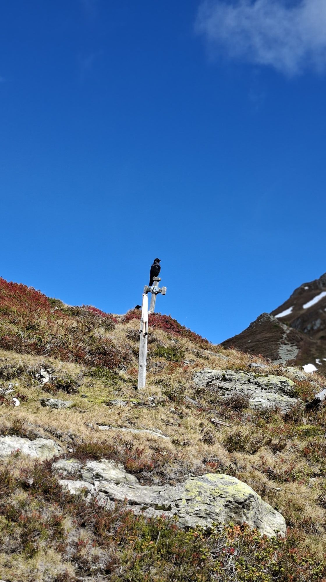
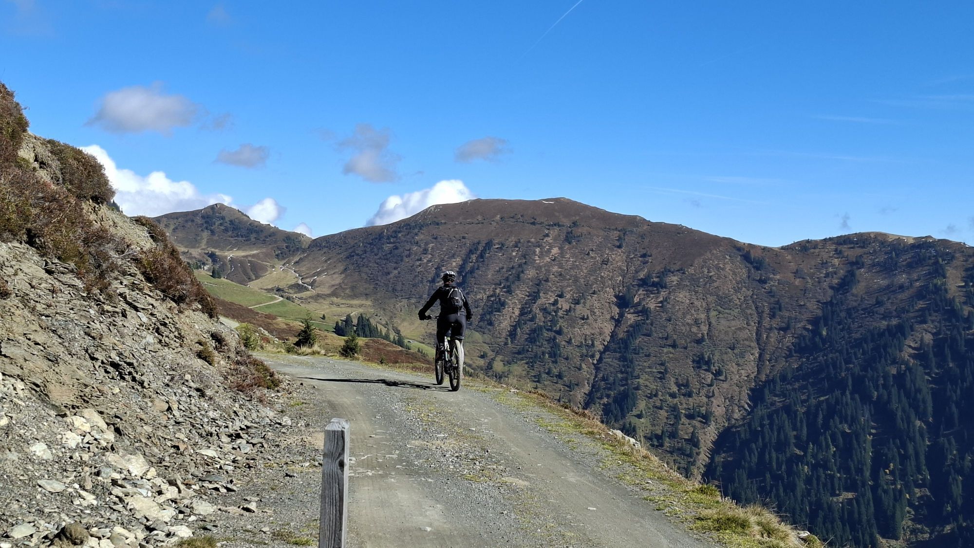
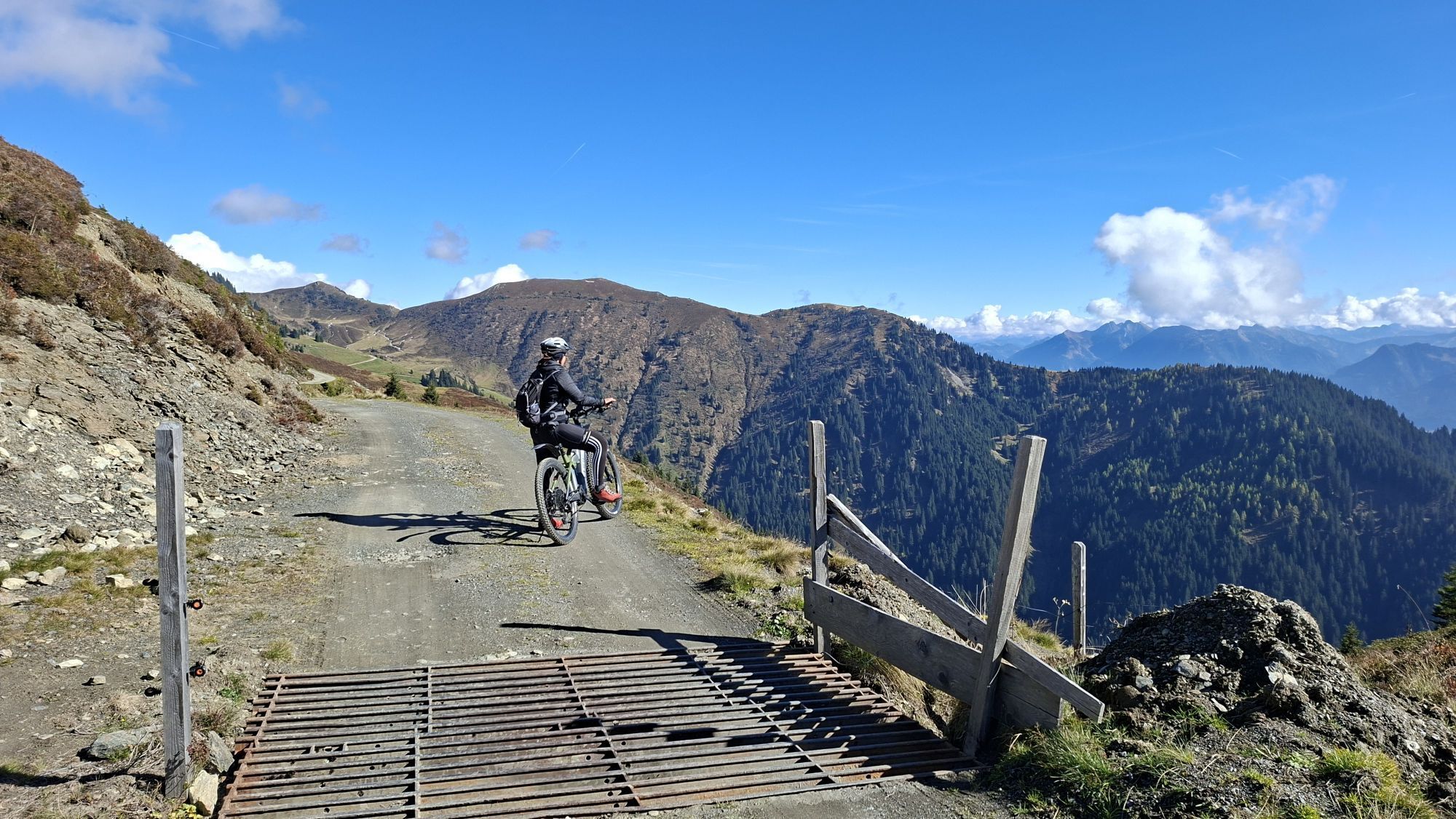
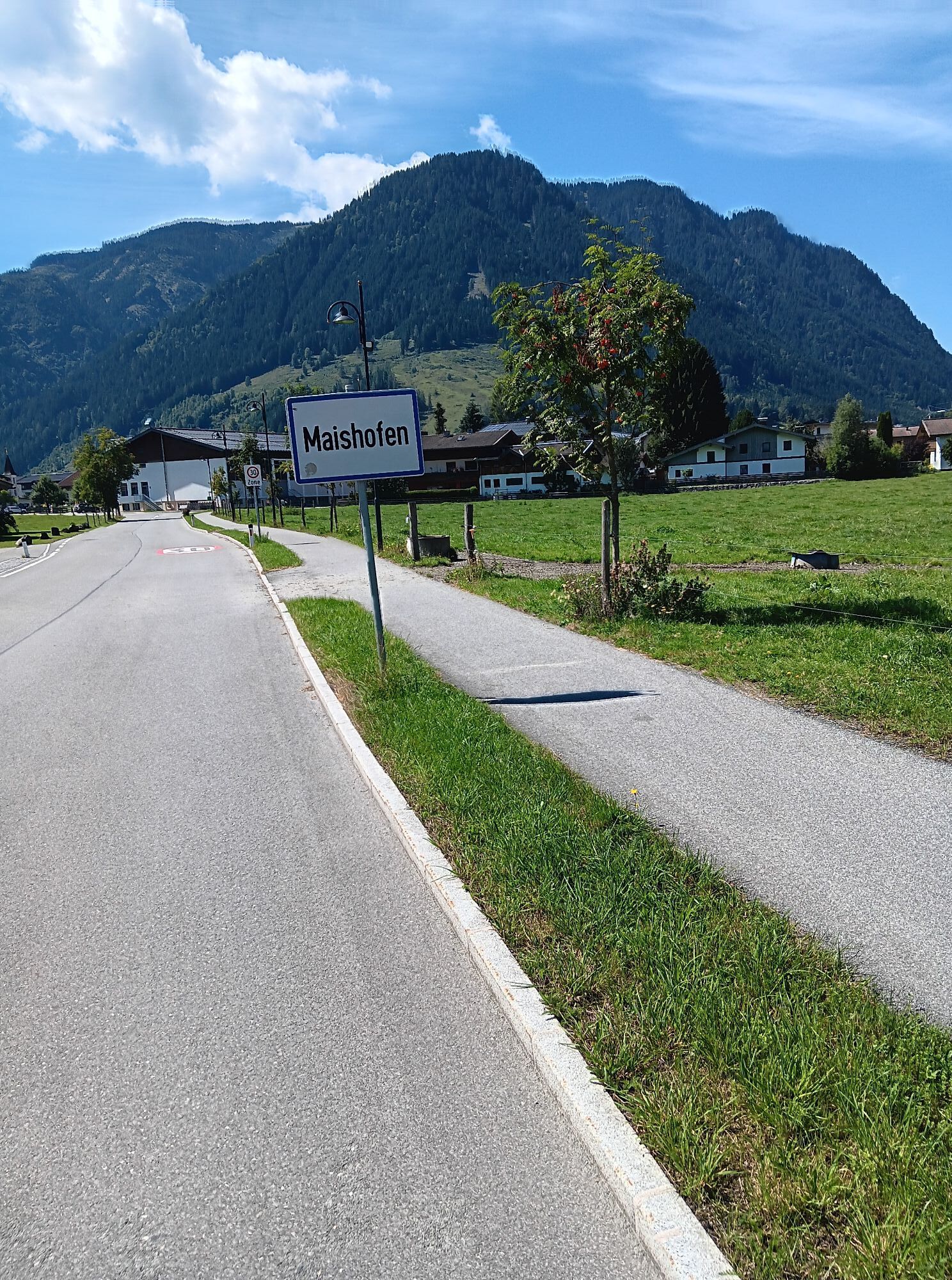
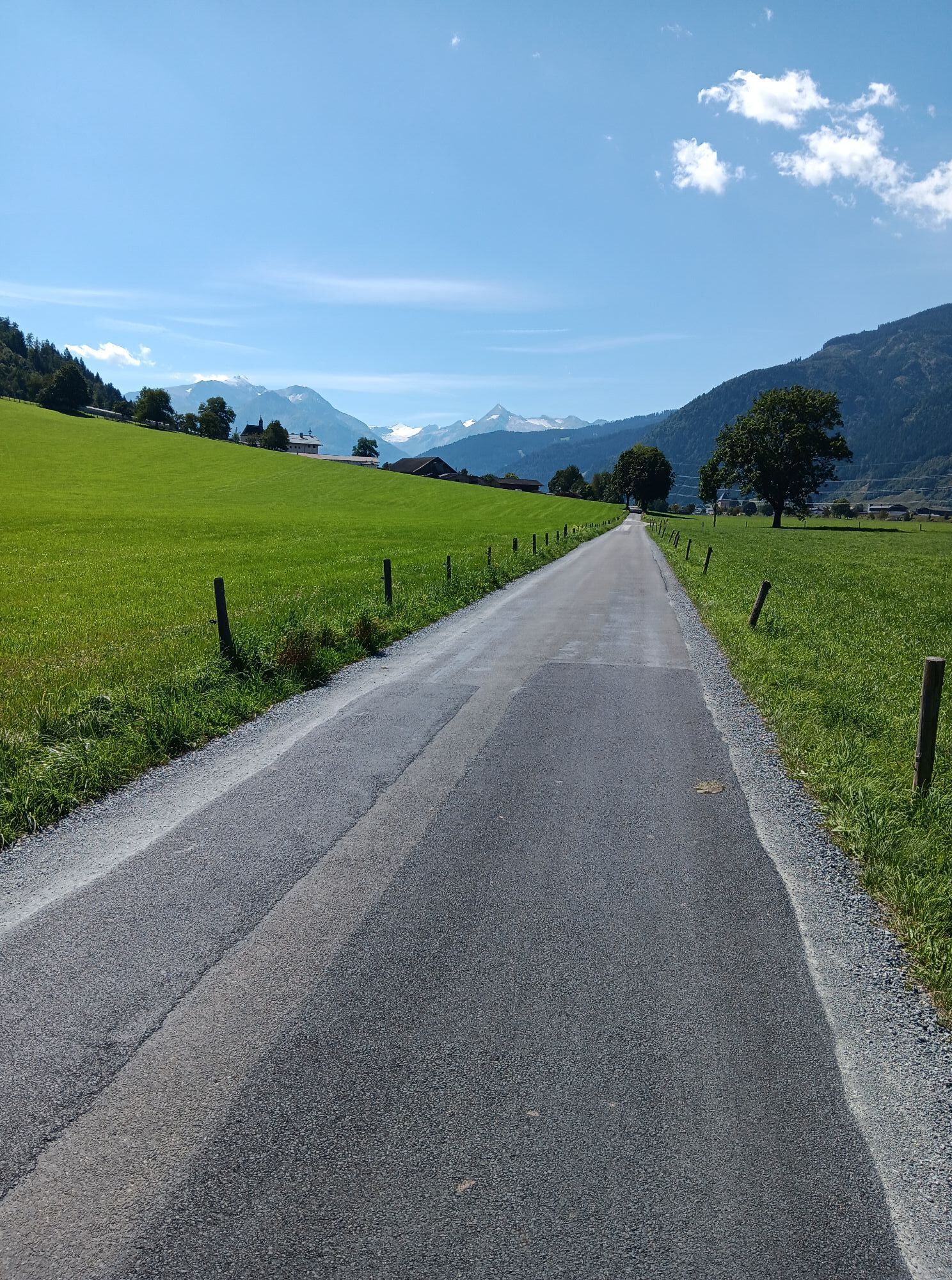
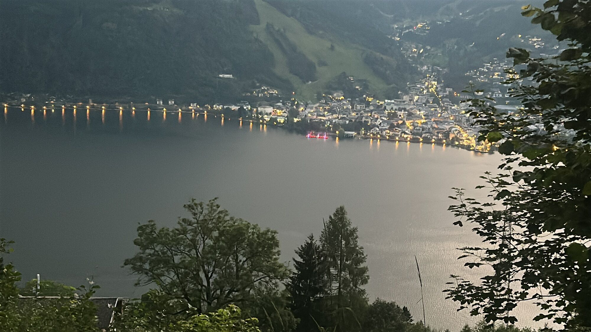
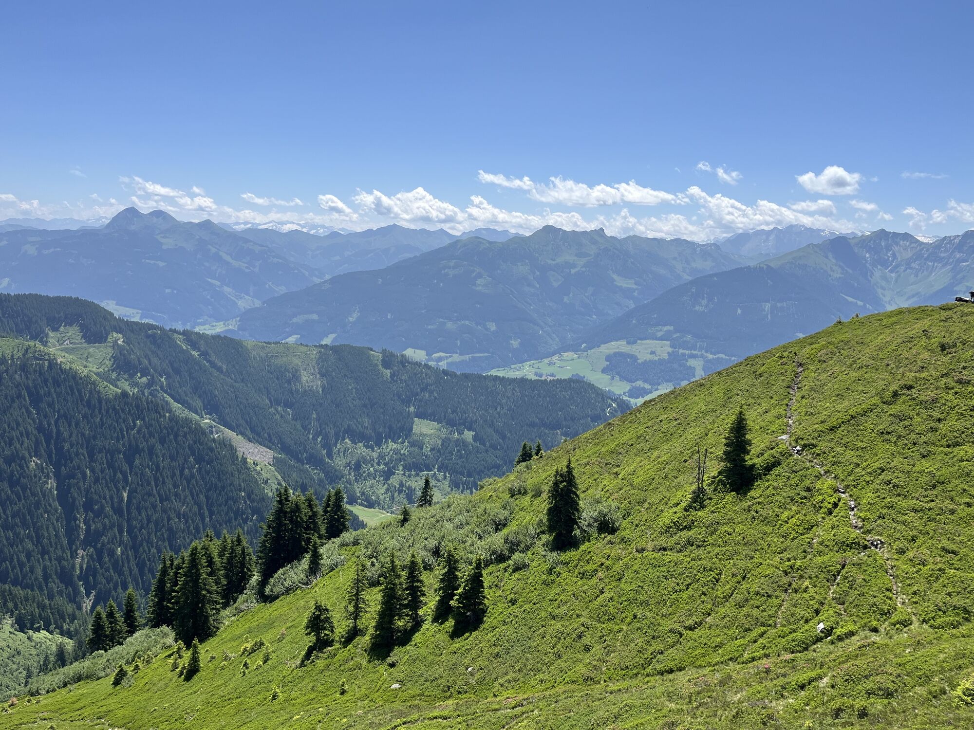
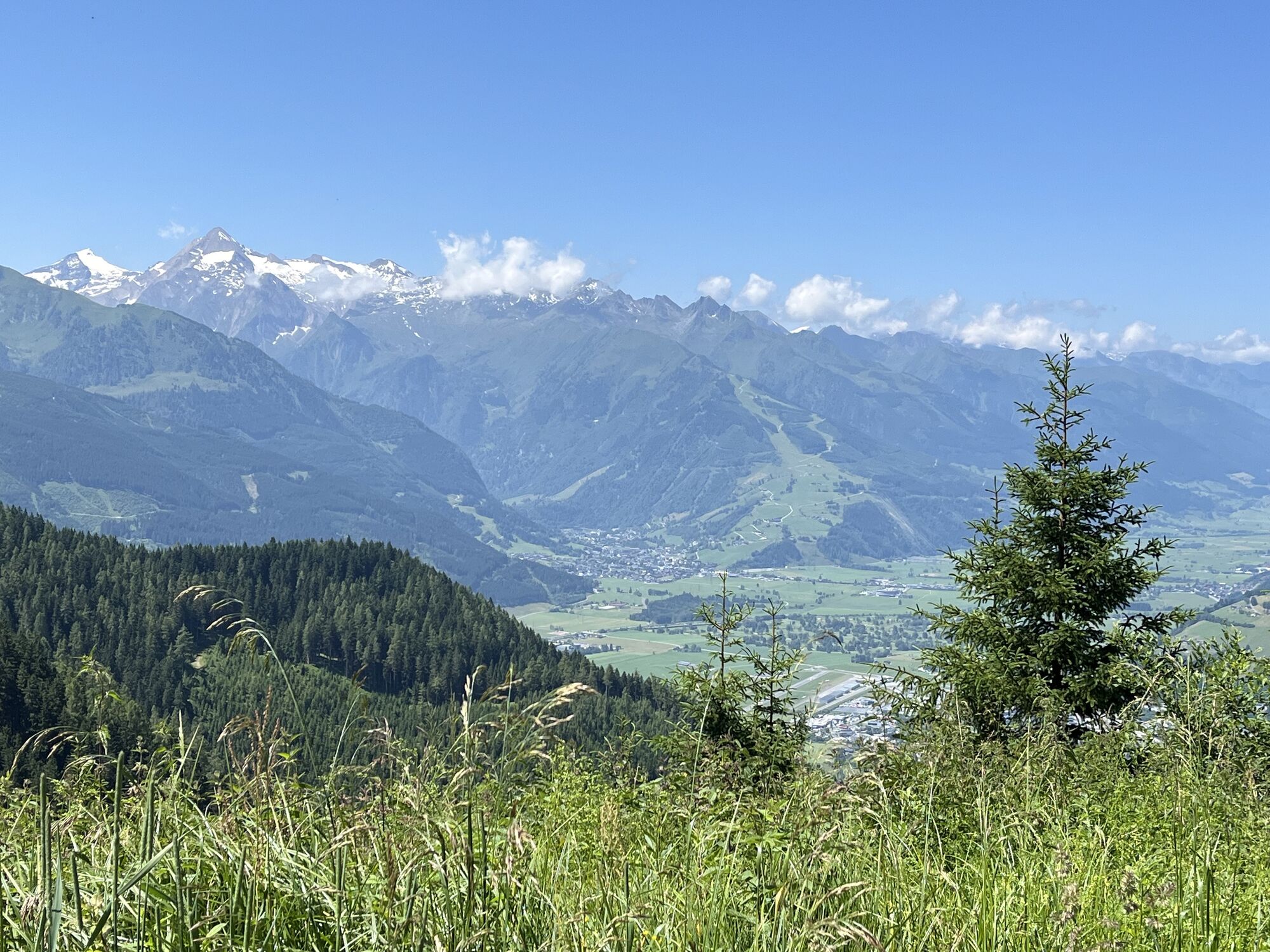
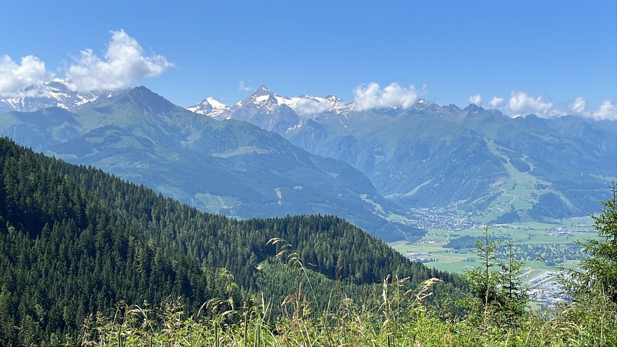
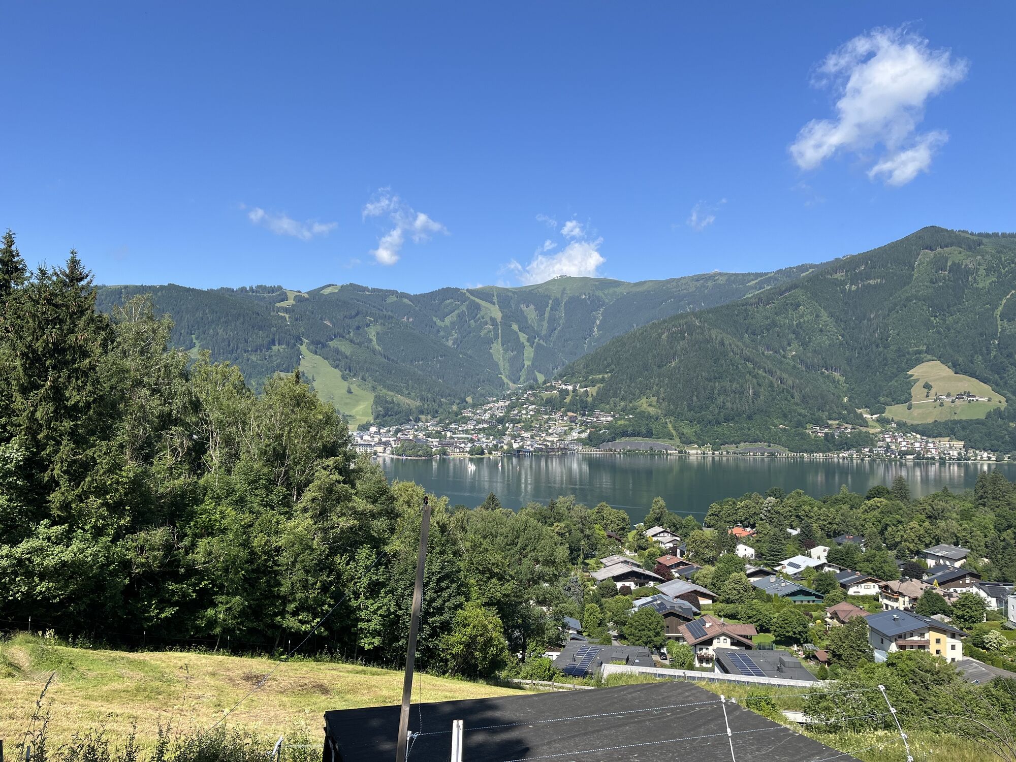
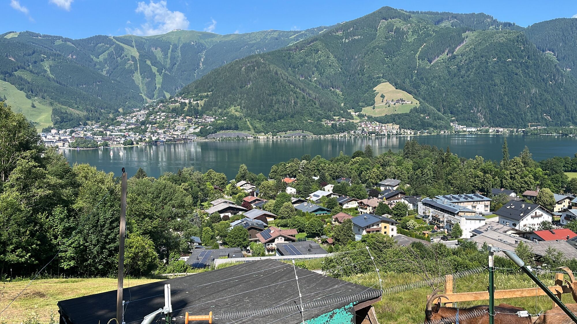
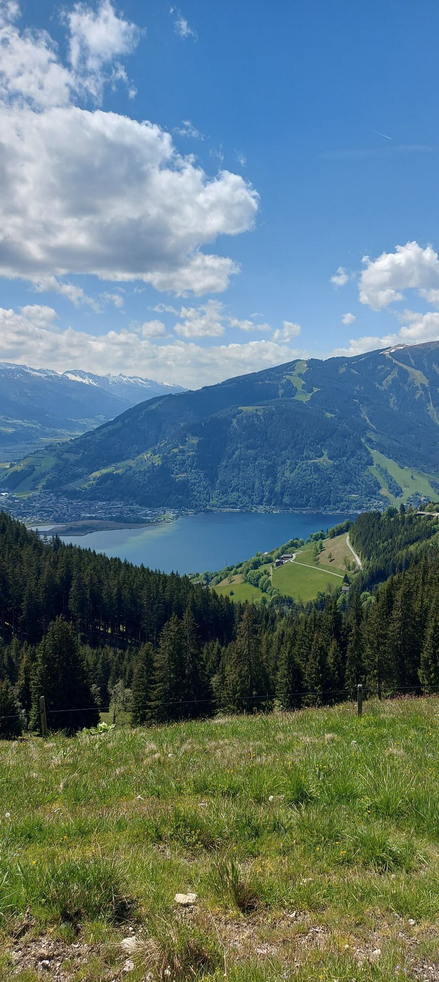
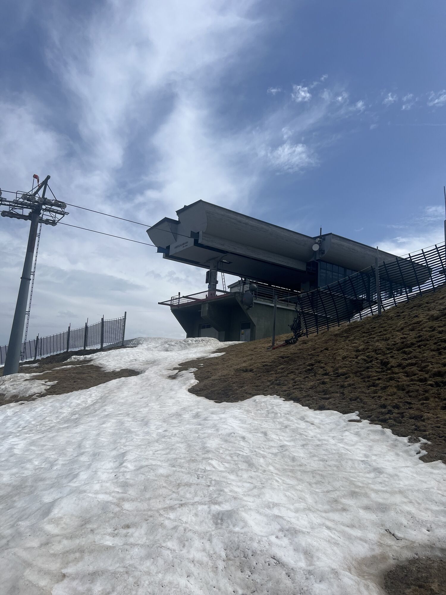
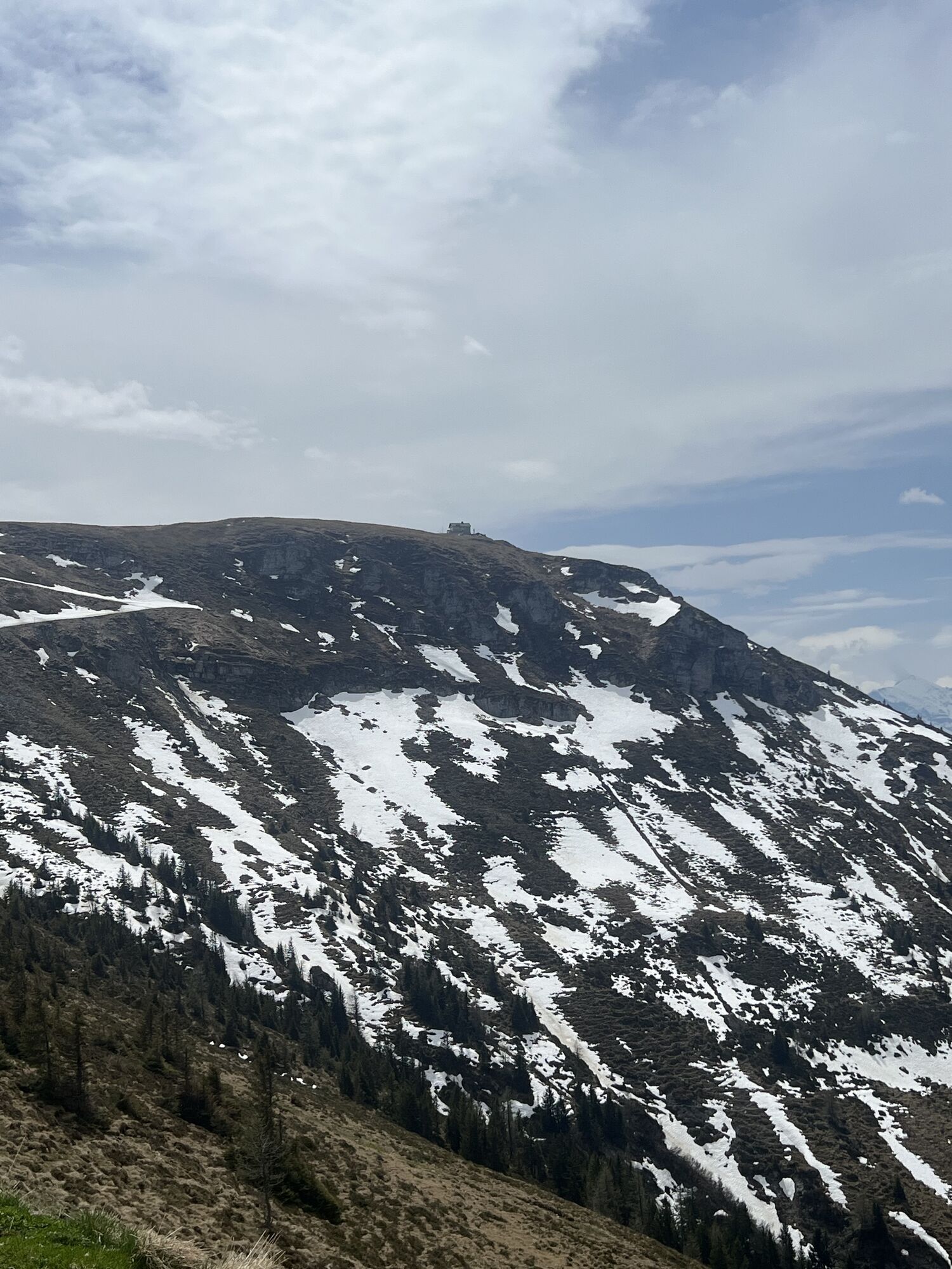
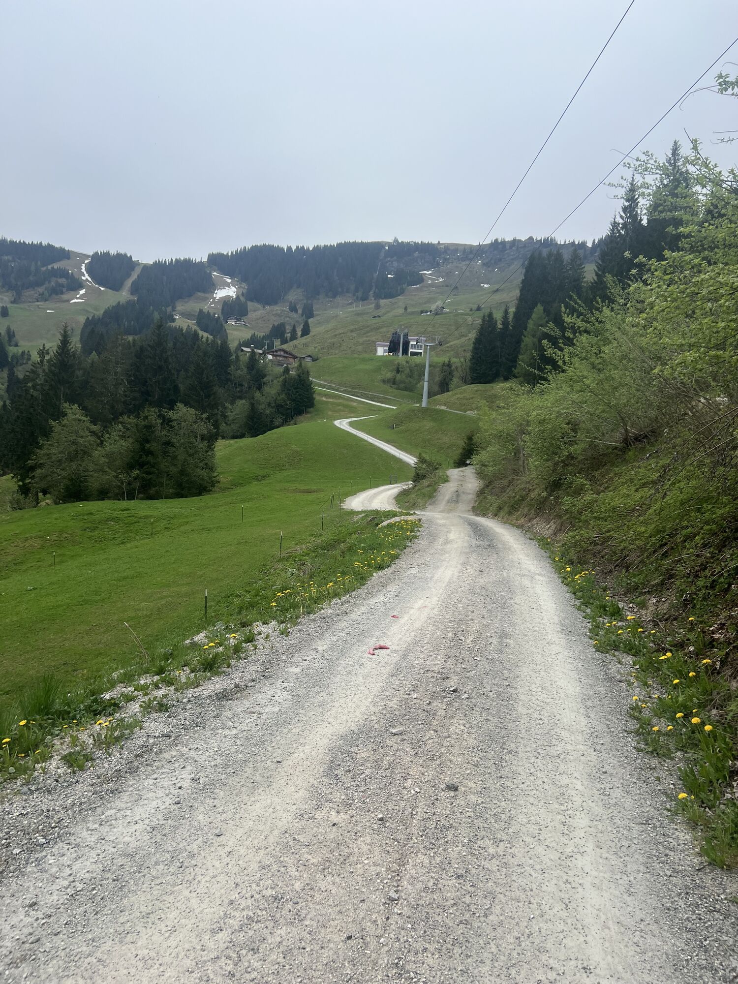
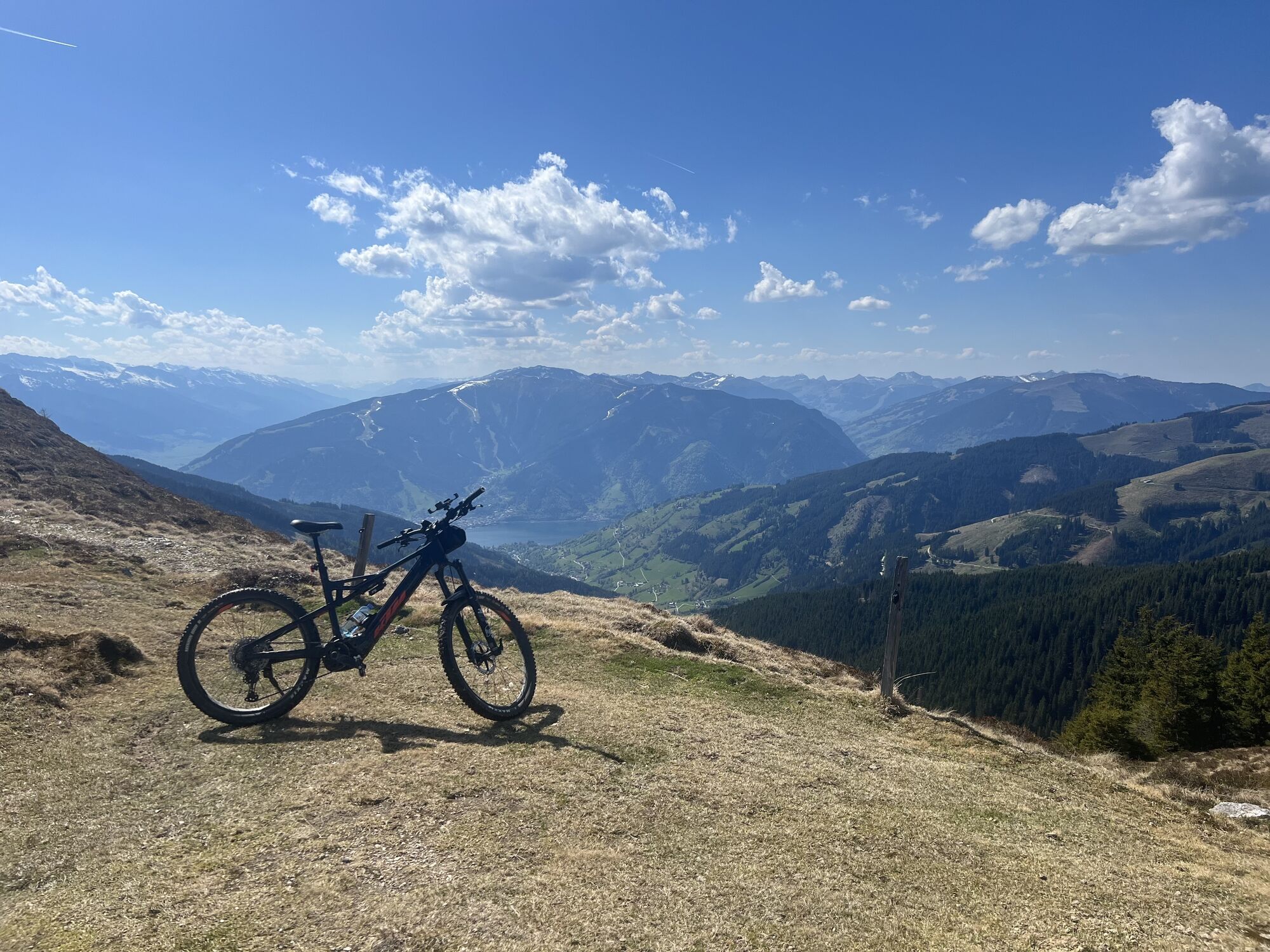
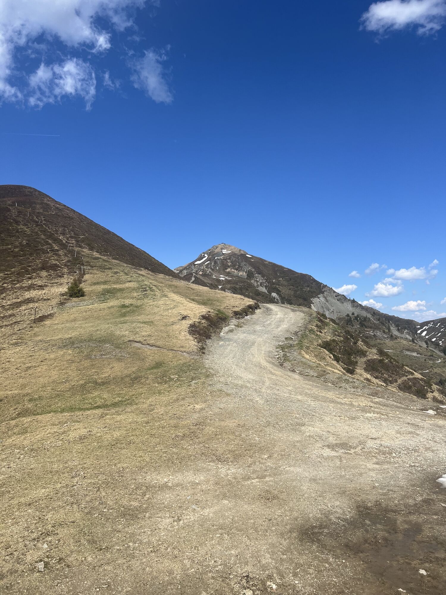
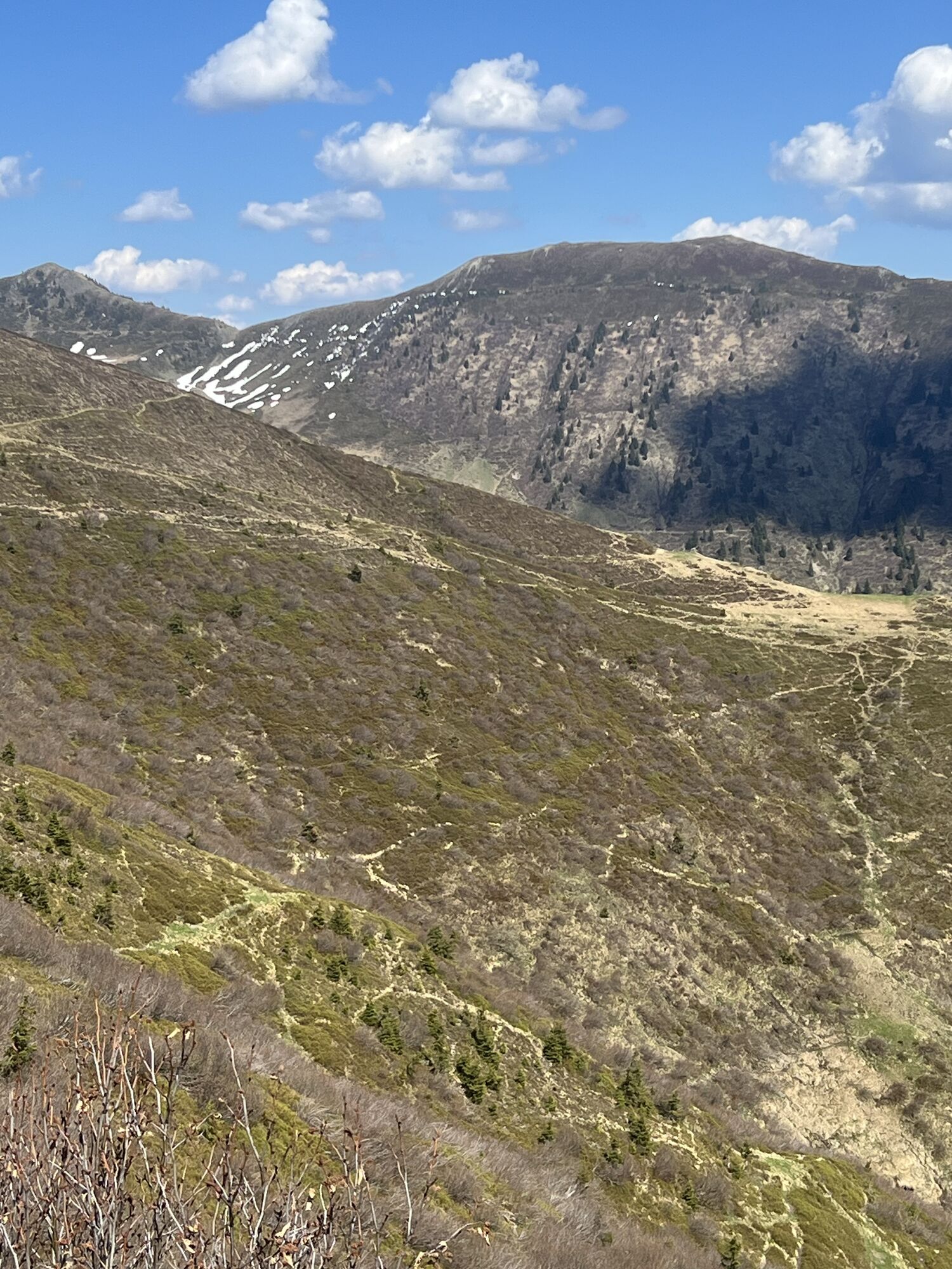
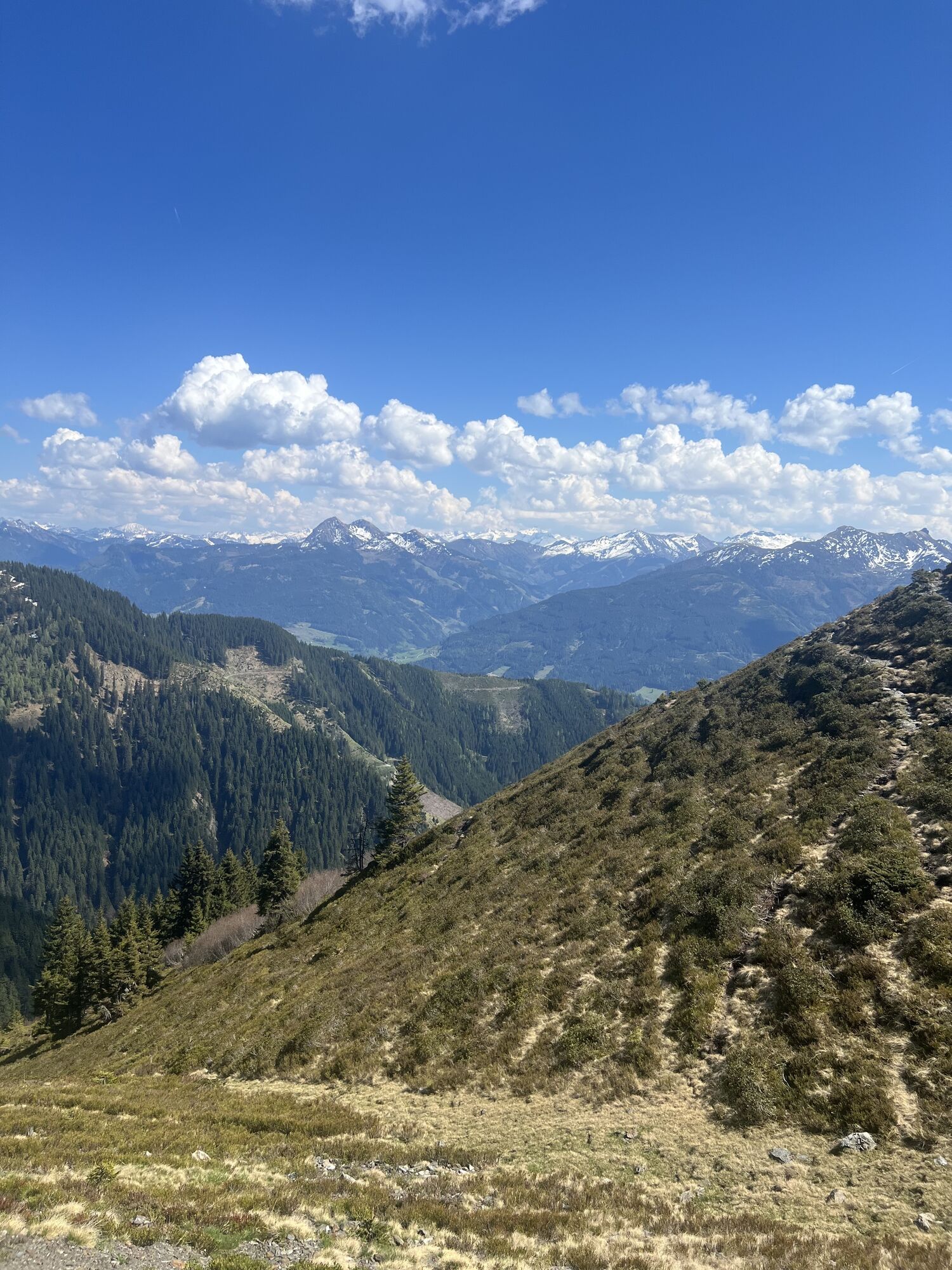
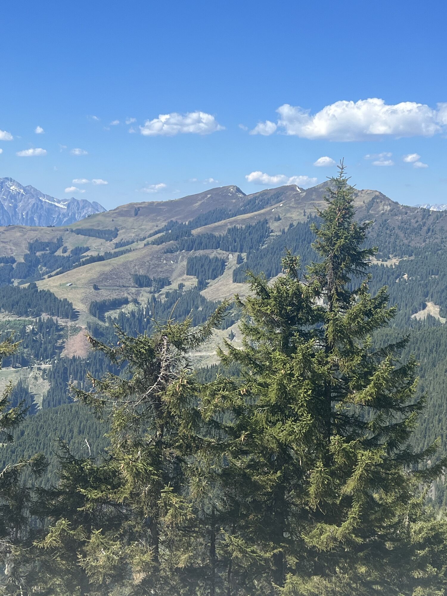
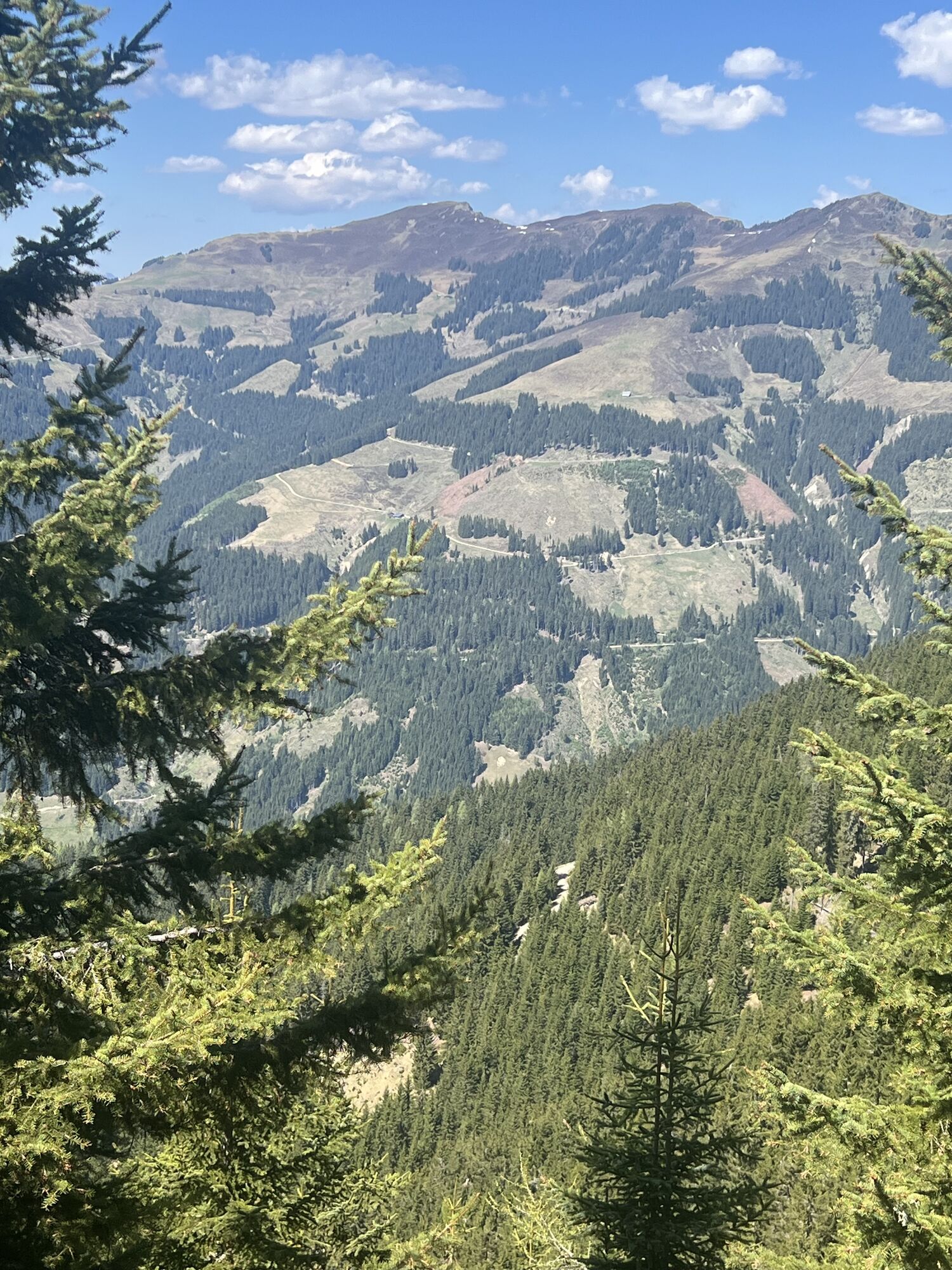
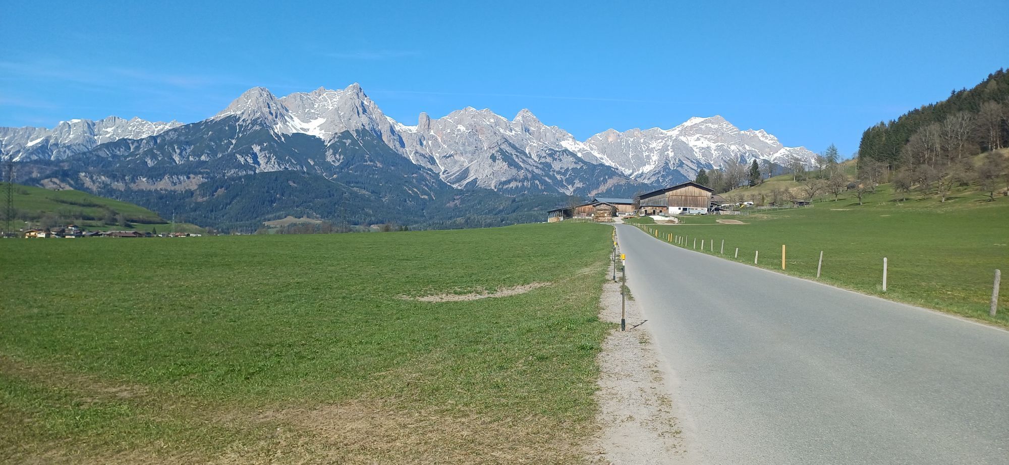
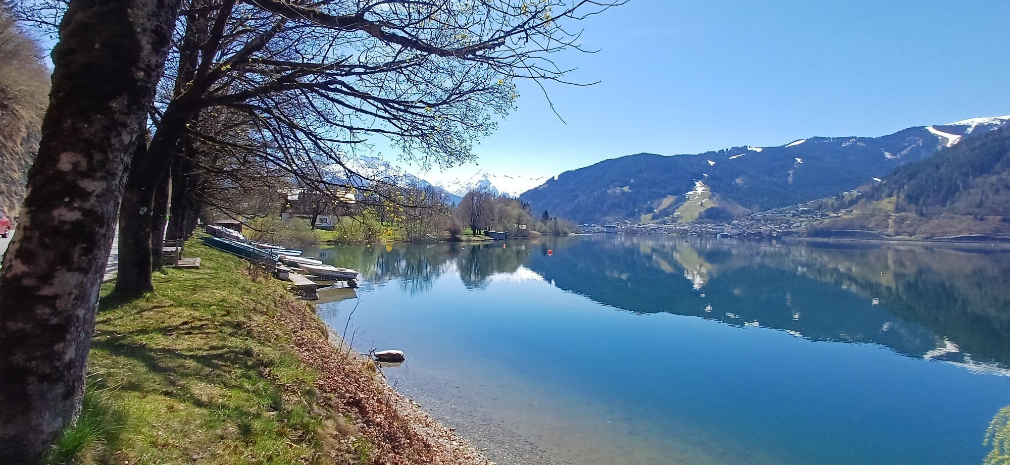
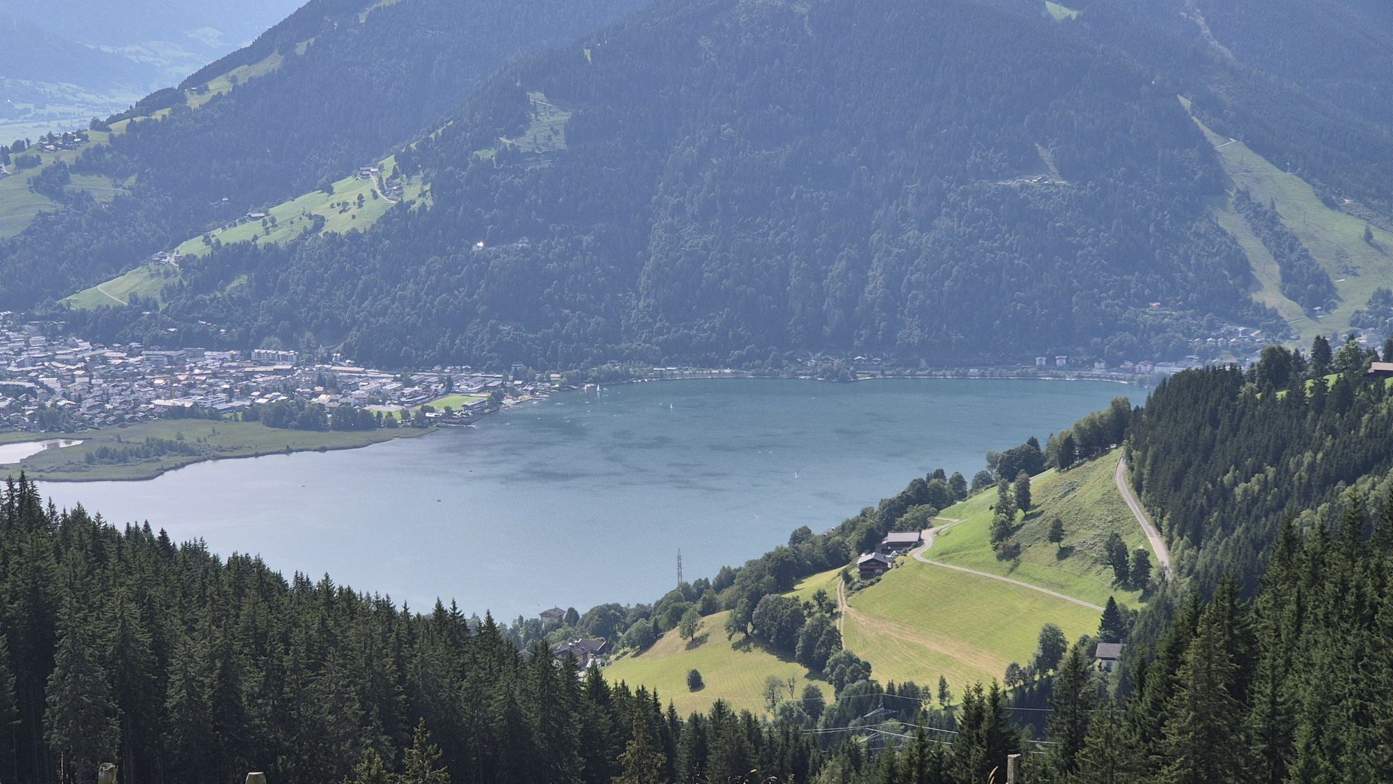
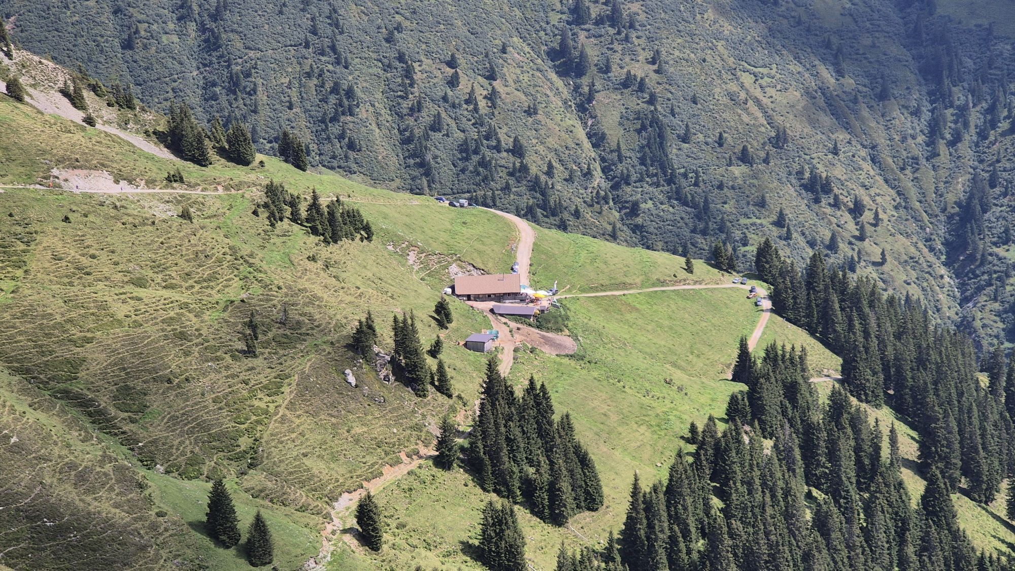
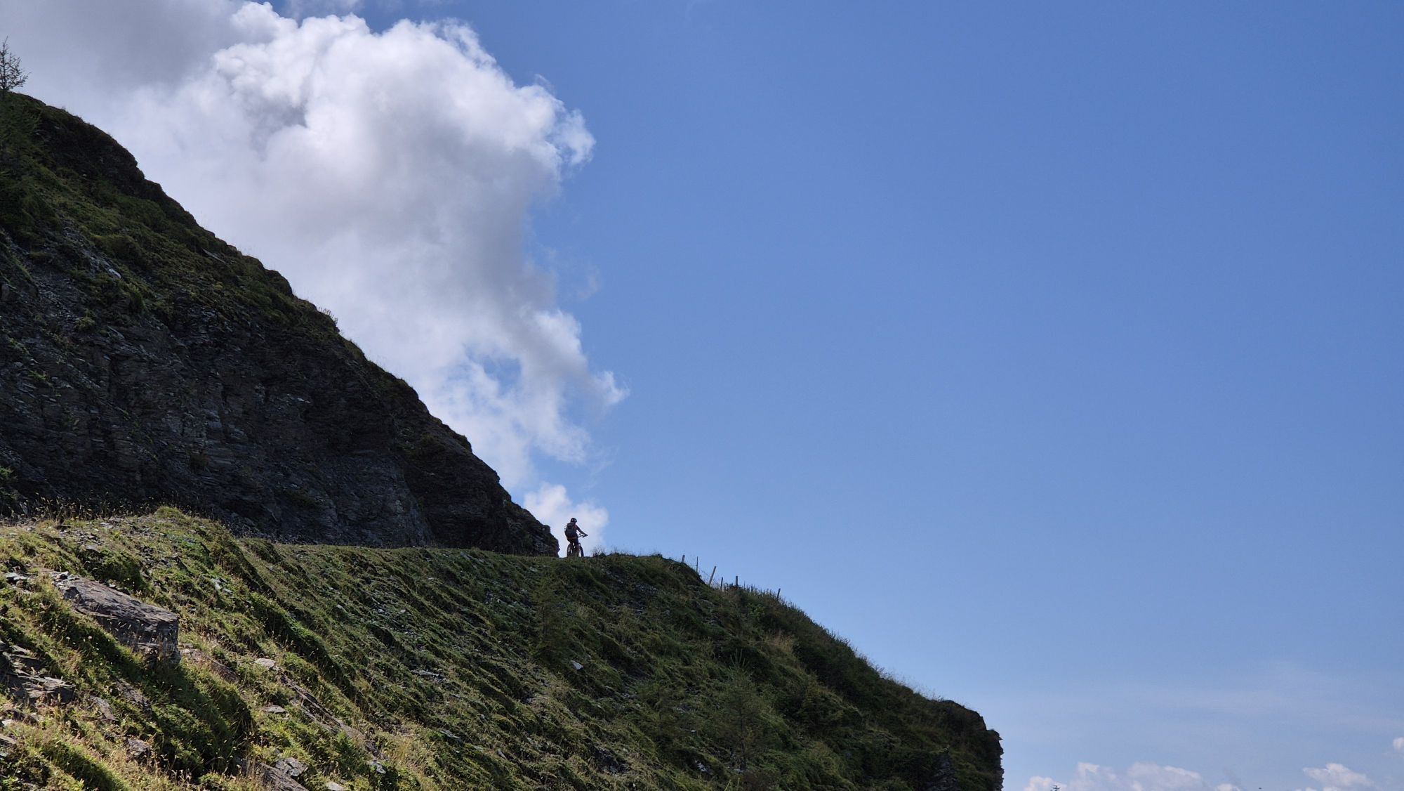
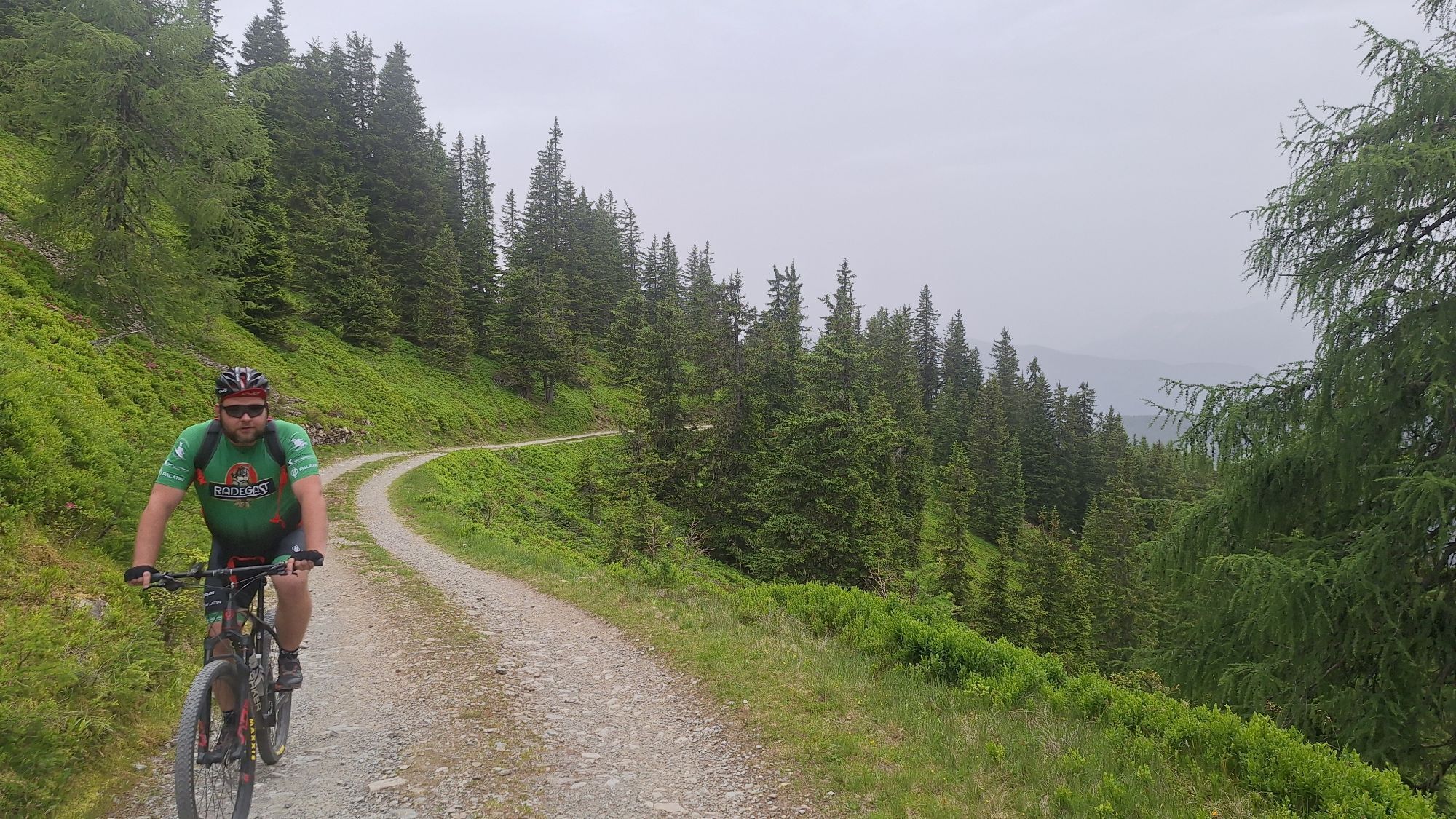
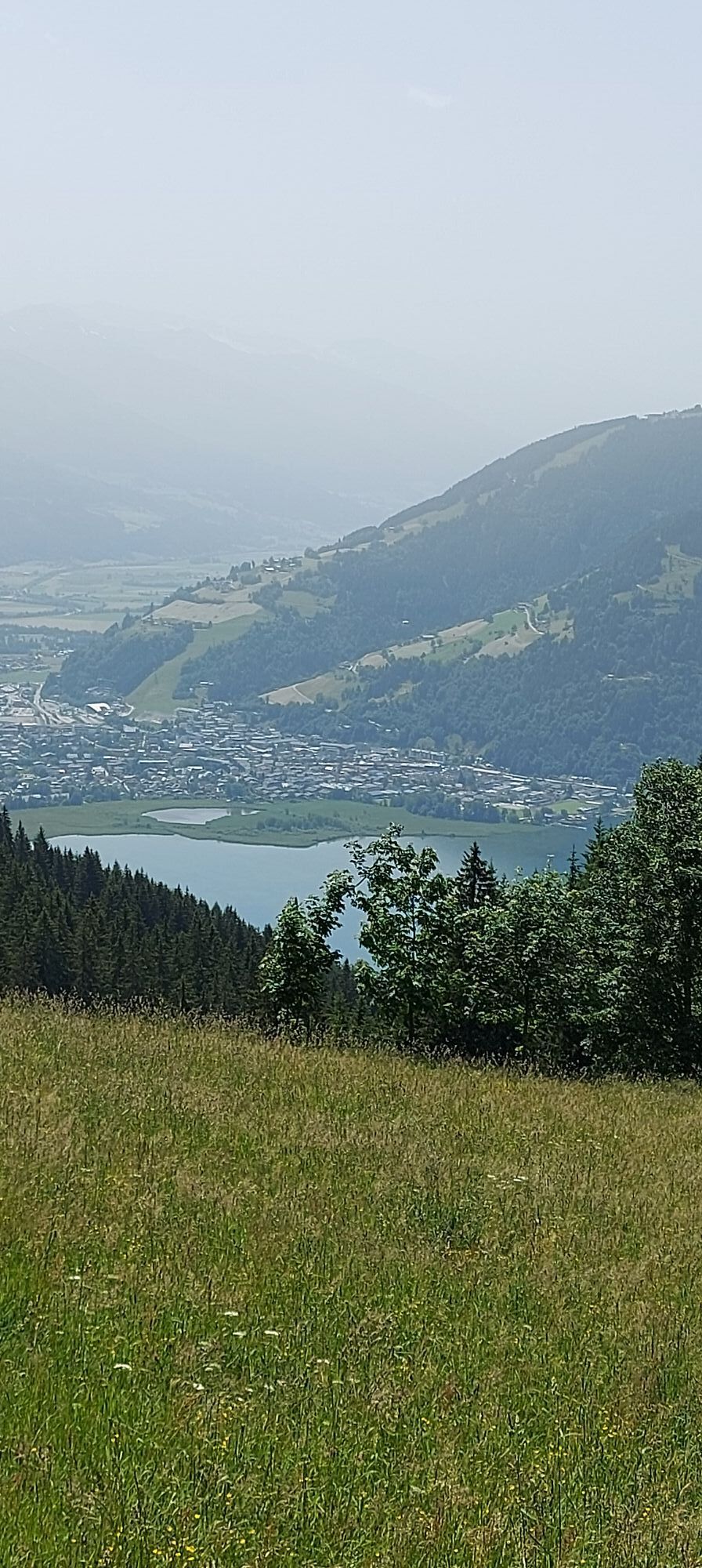
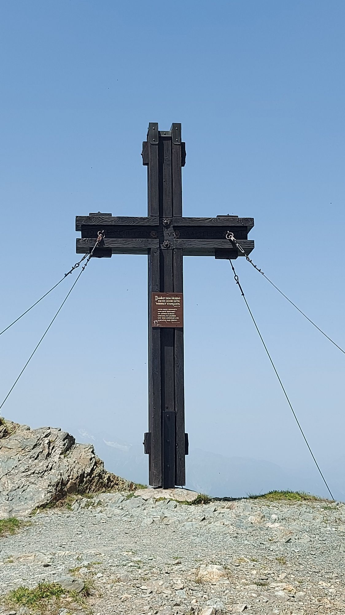
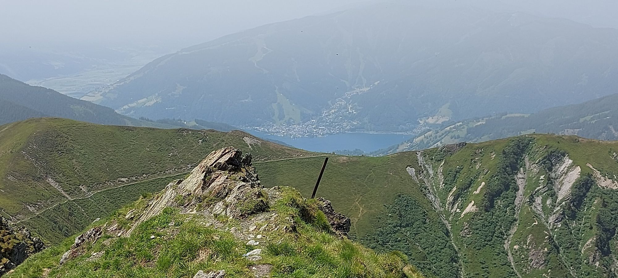
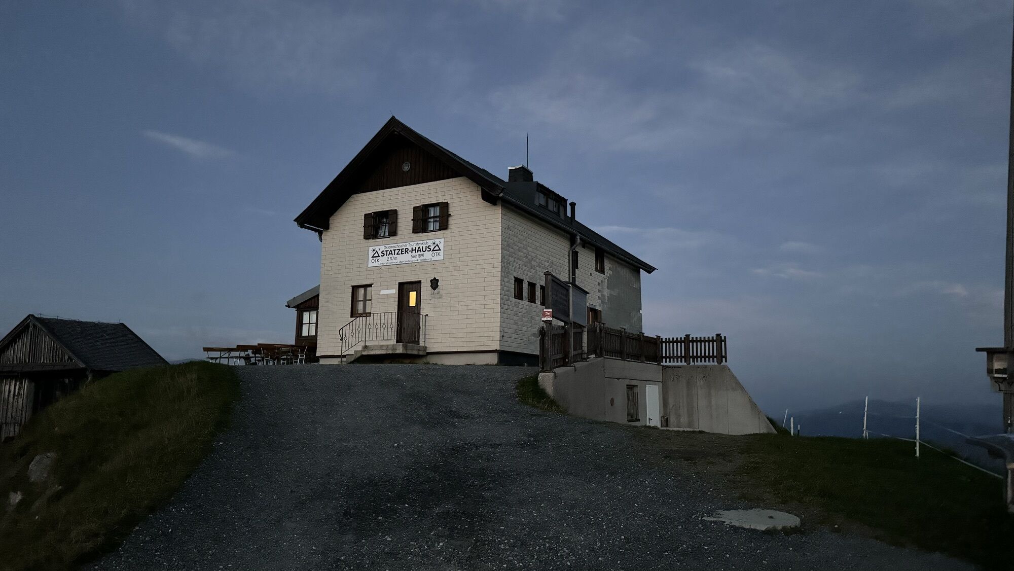
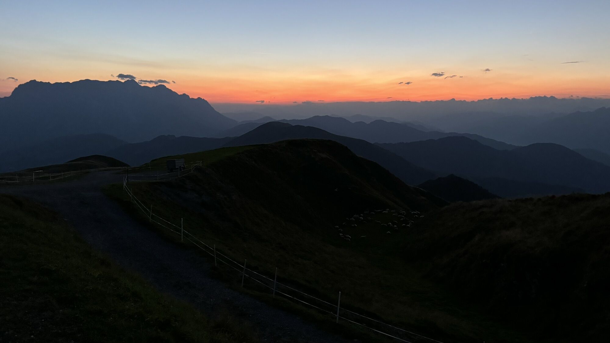
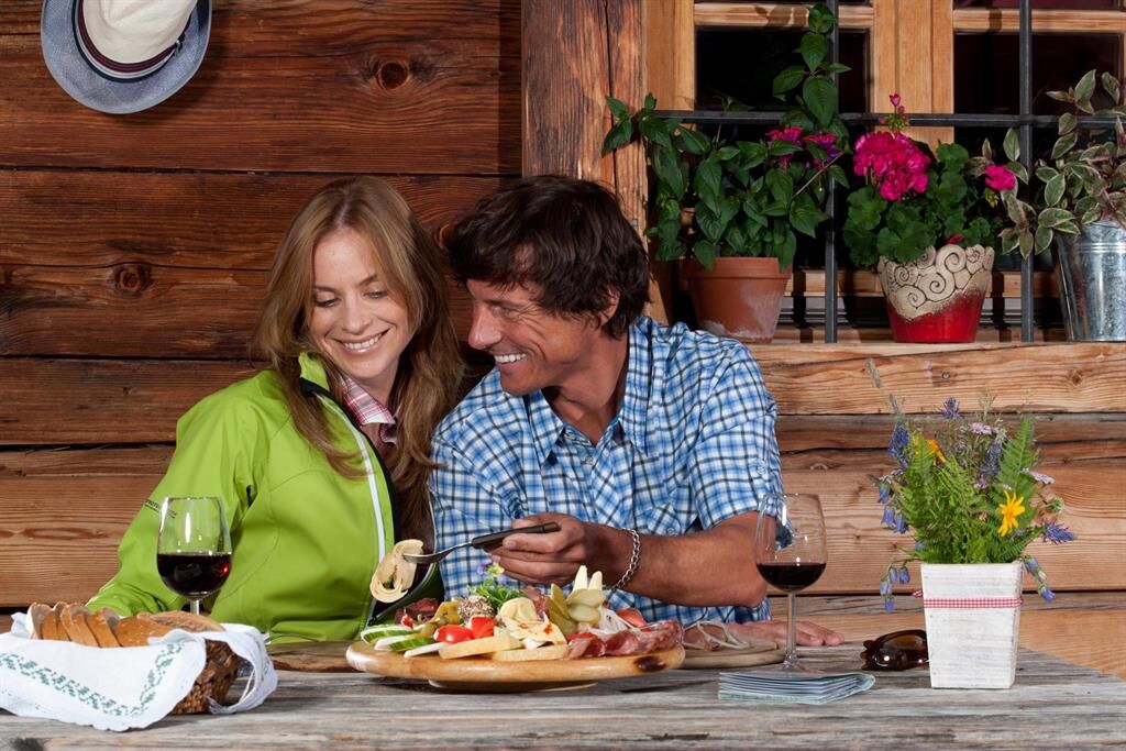
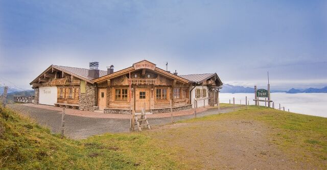
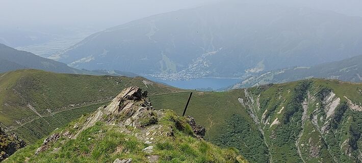
The Hundstein. The royal stage of every bike week. A performance test for bike pros, a challenge for every ambitious mountain biker. Every year in September, the local mountain biking elite compete here in the legendary ‘HundstoaBiagDi’ uphill race. The record time of just under 52 minutes is currently held by the two professional cyclists Andi Seewald (marathon world champion) and Anton Palzer (Team Bora-Hansgrohe). If you are not afraid of comparison, start past the Almer pilgrimage church in the direction of Hintermoos, along the river ‘Urslau’ to Unterberg, cross the small bridge to the ‘Abergbahn’ car park and take a sharp right towards Christernreith. Now the timing starts in the race! We follow the tarmac road with a moderate gradient to the Christernhof. Here we turn left onto the forest road and the going gets tough for the first time! It's a tough 2 kilometres to the middle station of the Abergbahnen cable car. It feels steeper and steeper. We pass the lift garages with their impressive snow groomers and have to concentrate fully so as not to lose traction. As soon as we have left the Bärmooshütte on the right, there is time to catch our breath again. We follow the path to the Schwarzeckbahn mountain station and continue in the direction of Abergalm. We cross the Aberg in a westerly direction and use the two short descents to recover. Shortly before the Grießbachhütte (eBike petrol station), we can see it for the first time: The Statzerhaus on the Hundstein. However, it is still 6 kilometres from here to the summit. It is peppered with steep ramps, but also fantastic views of the glacier worlds around the Großvenediger and Kitzsteinhorn. Three kilometres before the finish, there is a small challenge: 150 extra metres of altitude difference up to the Langegg and the Bergstadl (eBike filling station). Otherwise, we follow the trail to the long-awaited summit drink at Heidi's at the Statzerhaus. At 2117 metres above sea level, we enjoy the panoramic view of the Salzburg mountains before plunging into the descent to Zell am See. After a steep but not too difficult trail, we follow the forest road in the direction of Thumersbach, past the Enzianhütte to the lido directly on Lake Zell. After a dip in the cool water, we roll relaxed via Maishofen, Gerling and Almdorf back to Maria Alm.

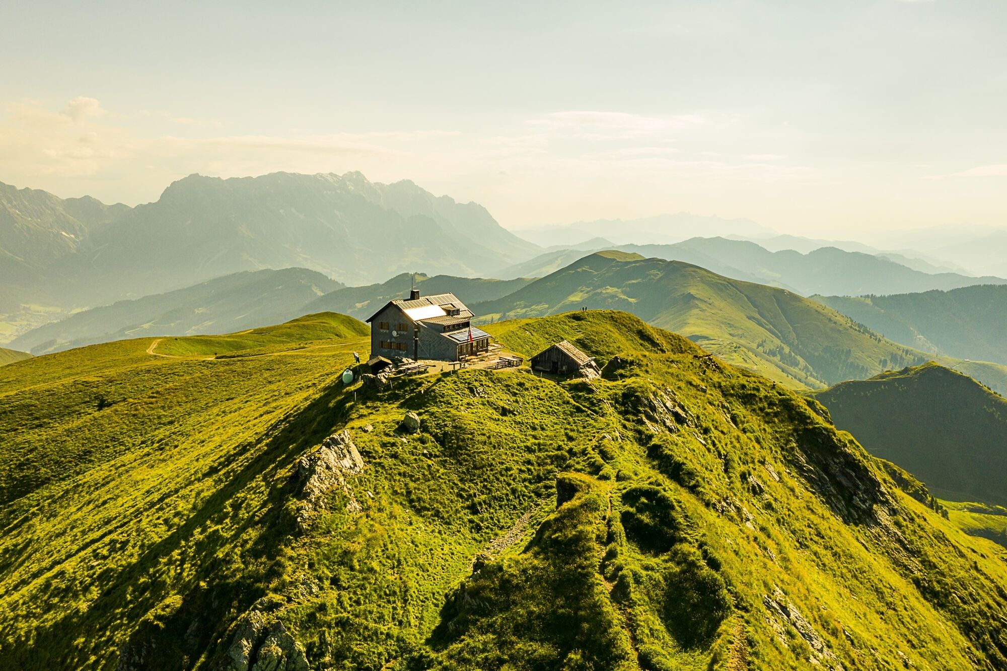


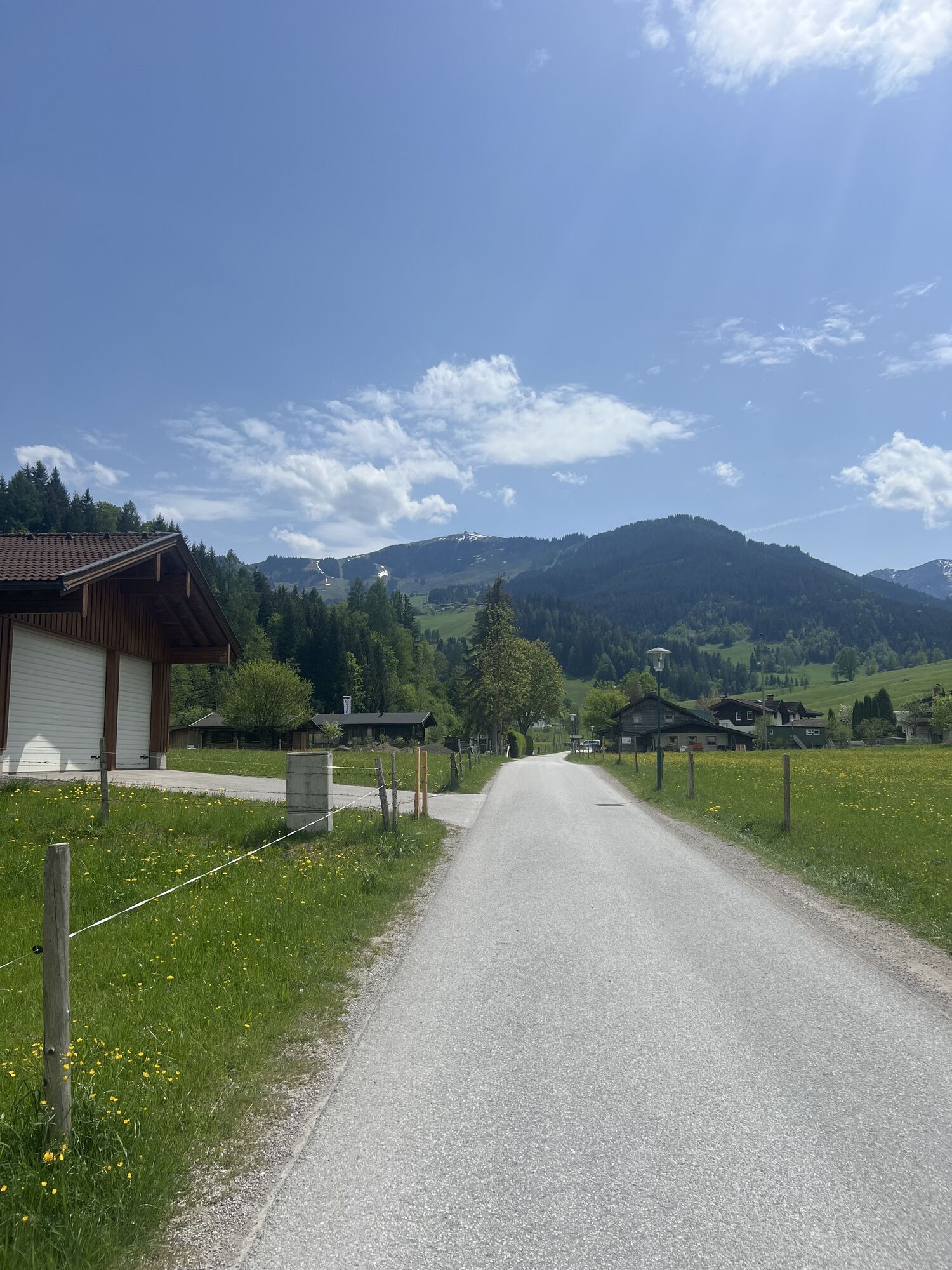
Just follow the signs for "MA 04 Hundstein Loop." You start at the tourist office in Maria Alm and take the road behind the church to the main road (B164). After about 50m on the federal road, turn right to cross the Urslau. Immediately after the bridge, turn left and follow the path to the Unterberg district. There, take the path that leads you through Gasthof Christernreith, Grießbachalm (e-bike charging station), Lohning Alm, and Dirndlalm (e-bike charging station) to the highest point of the tour, the Statzerhaus (2117m). From the summit of Hundstein, roll back approximately 200m on the same route, take the first left turn, and follow the "Rad&Bike Pinzgau" signs to Thumersbach. Then, ride along the Tauern Cycle Path via Schloss Prielau – Maishofen – Gerling – Almdorf back to Maria Alm. Every year, the legendary uphill race "Hundstoa biag di" takes place along the route from Maria Alm to Statzerhaus. Route: Maria Alm - Unterberg - Christernhof - Hundstein - Thumersbach - Gerling - Almdorf - Maria Alm.
Ano
Controlled bike equipment with helmet
Sunglasses
Sun protection
Rain protection
Drinks and a snack
Necessary medication
First aid kit
Bike map
Fair play!
Drive only on marked paths! Close all gates, barriers and pasture gates! Observe the road traffic regulations! Overtake only at walking pace! Behave respectfully towards other nature users! and the forestry and hunting staff! Be considerate of animals! Do not leave waste in nature! Act responsibly! Check the weather forecast. Fog and bad weather can come surprisingly quickly.Emergency numbers: Alpine emergency call: 140, International emergency call: 112, Rescue: 144
Coming from Salzburg: Take the A10 motorway to the Bischofshofen exit, then take the B311 towards Bischofshofen. Follow the Hochkönig Bundesstraße/B164 to Maria Alm.
Coming from Innsbruck/ Kufstein: Take the Loferer Straße/B178 in the direction of St. Johann i.T., then follow the Hochkönig Bundesstraße/B164 via Saalfelden to Maria Alm.
A valid vignette is required to use the Austrian motorway and motorway network. It is also compulsory to carry a first-aid kit, warning triangle and high-visibility waistcoat. Further information can be found under Asfinag.
ÖBB-Scotty: Timetable information
Bus line 620: Timetable information
Hiking bus: Timetable information
Free parking at the beginning of the village and in the centre of Maria Alm
Further information on bike tours and activities in the Hochkönig region:
For detailed information about hiking maps, the opening hours of the cable cars and the huts and mountain pastures in summer, we recommend you visit the local service centre. There you will not only receive the hiking map, but also valuable tips on the best hiking routes and current conditions.
Opening hours of the mountain lifts in summer:The mountain lifts offer different opening hours during the summer months, which can vary depending on the weather and season. Please check the current operating times in advance.
Opening hours of huts & mountain huts in summer: The huts and mountain huts in the region are ideal rest stops for hikers. Here, too, opening hours may vary depending on the season and day of the week. Ask the friendly hosts for advice about the offers and specialities on site.
For more information, please visit our website: www.hochkoenig.at.
If you have any questions or require specific information, please do not hesitate to contact us:
- E-mail: region@hochkoenig.at
- Telephone: +43 (0)6584 20388
We look forward to helping you and hope you enjoy exploring the beautiful Hochkönig hiking region!
Scenic tour to the highest grass-covered mountain.
Webové kamery z prohlídky
Maria Alm - Hochmaisbahn
Aberg - Bergstation
Maria Alm - Aberg
Sonnkogel
Schmittenhöhe
Mitterberg bei Thumersbach
Sommerrodelbahn
Zell am See / Hotel Berner
Zell am See
Saalfelden
Thumersbach
Grünegg Alm & Edelbrennerei
Maishofen Sausteige
Maishofen - Schloss Kammer
Natrun Bergstation
Maishofen Dorfplatz
Hoferbichlgut
Hinterreit - Saalfelden
Saalfelden - Obermühlhof
Maria Alm - "die Hochkönigin"
Aktivity na trase

Maria Alm am Steinernen Meer, Salzburg/Österreich
23.06.2026 – Mountainbike
Maria Alm am Steinernen Meer, Salzburg/Austria
22.10.2025 – Turistika
Maria Alm am Steinernen Meer, Salzburg/Österreich
08.08.2025 – Mountainbike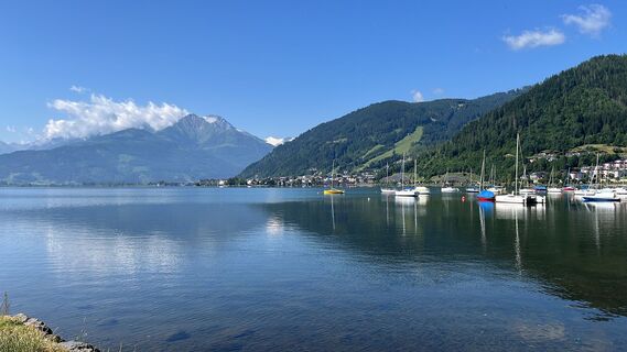
Maria Alm am Steinernen Meer, Salzburg/Österreich
24.06.2025 – Mountainbike
Maria Alm am Steinernen Meer, Salzburg/Österreich
29.06.2024 – Mountainbike
Hundstein
19.06.2024 – E-MTB
Oblíbené prohlídky v okolí
- 4,2
Maria Alm - Riemannhaus
Turistika 3,99 km - 4,8
Summit stormer route Lauskopf
heavyTuristika 8,16 km - 4,8
Summit storming route Taghaube
heavyTuristika 6,25 km - 4,6
Steinalm
světloTuristika 2,71 km - 4,3
Schwalbenwand Nr. 80, 81, 82
středníTuristika 13,0 km - 4,4
Peter-Wiechenthaler Hut
středníTuristika 4,32 km - 4,4
Alpine and hut hike "Hochmaisalm & Steinbockalm"
středníTuristika 8,10 km - 4,8
Highlight Kitzlochklamm Classic round
středníTuristika 2,02 km - 4,2
Passauer Hütte
heavyTuristika 4,14 km - 4,6
Birnbachloch Leogang, Österreich
středníTuristika 5,18 km
Pěší turistika a stopování


Nenechte si ujít nabídky a inspiraci pro vaši příští dovolenou
Vaše e-mailová adresa byl přidán do poštovního seznamu.