


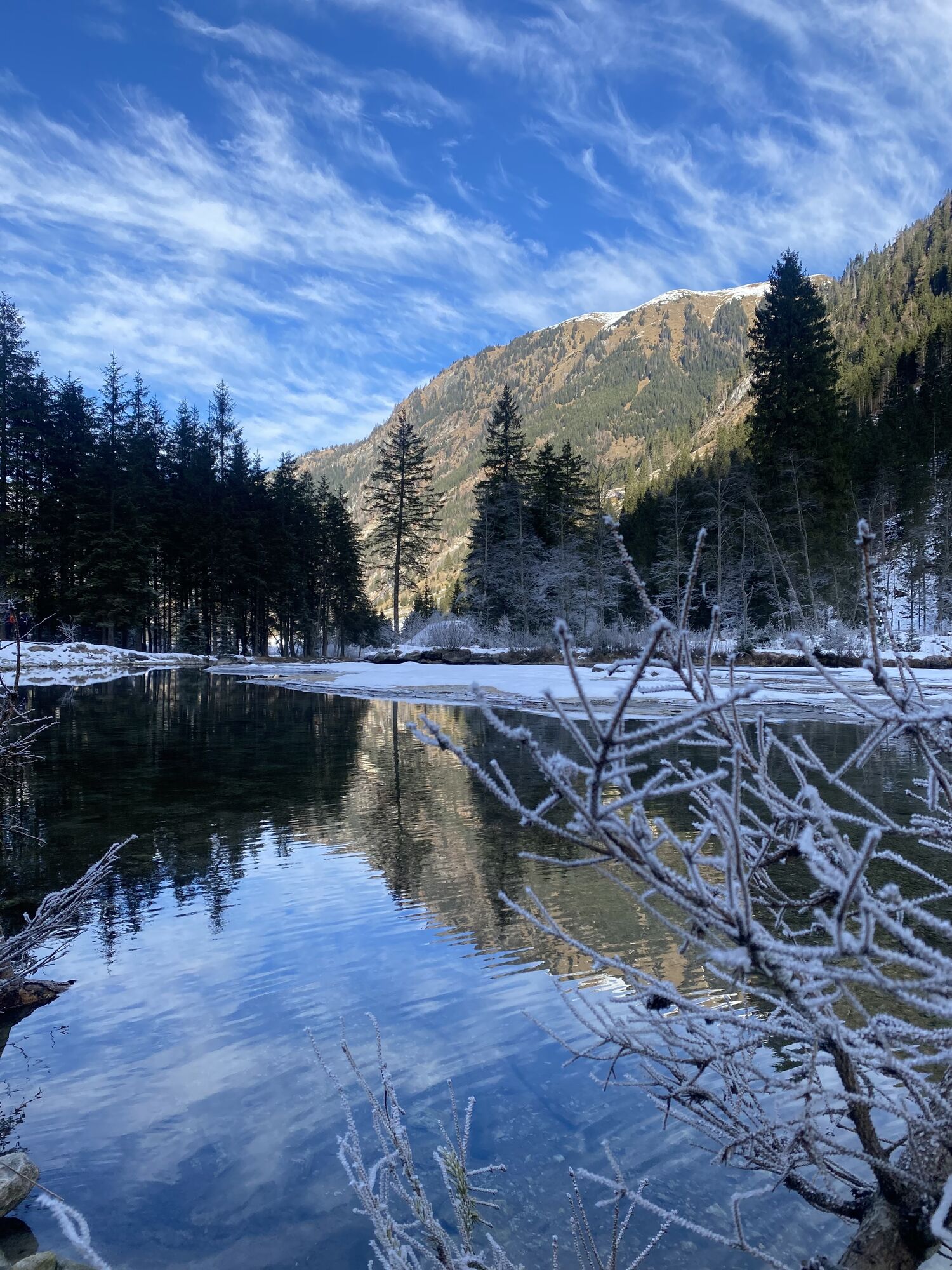
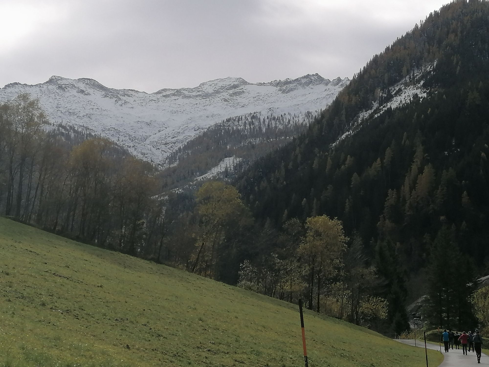
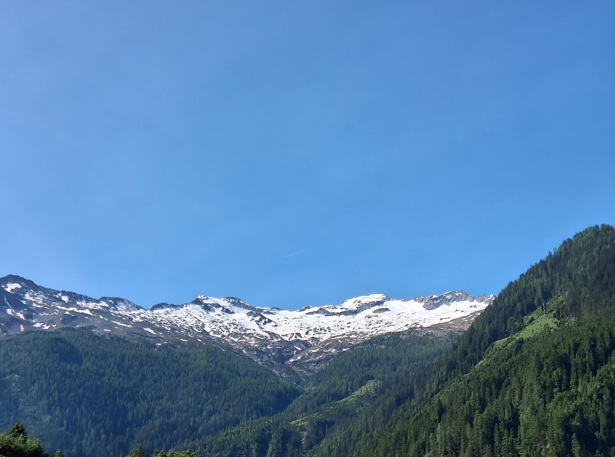
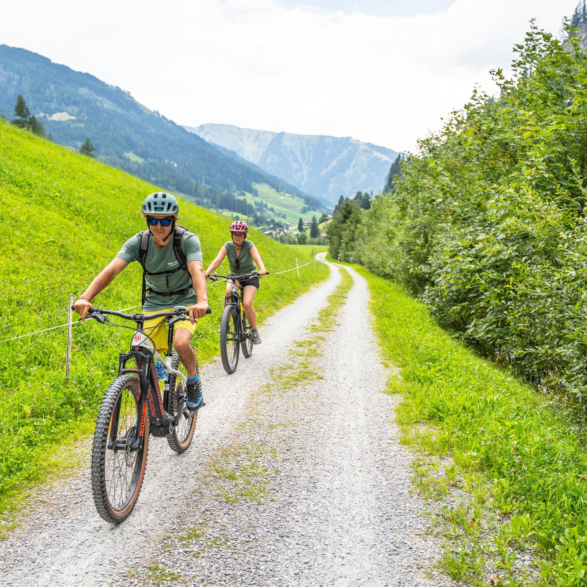
Großarl valley: valley hiking and cycle path
Úroveň obtížnosti: S0


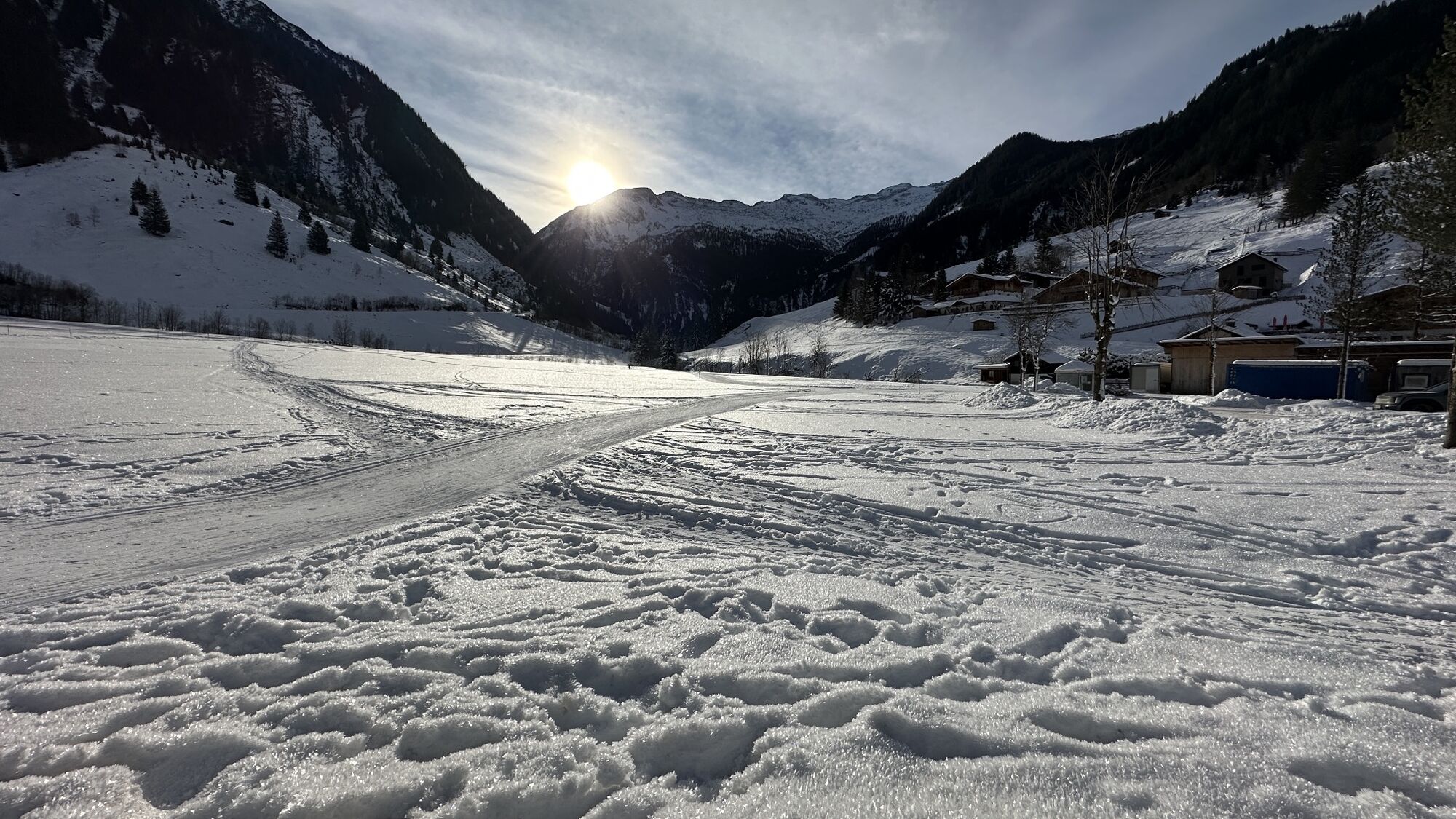
From the Großarl town center there are cycling options to the north and to the south.
Cycle path to the north: Leisurely bike ride from the Großarl town center downstream along the Ache. After about 3...
From the Großarl town center there are cycling options to the north and to the south.
Cycle path to the north: Leisurely bike ride from the Großarl town center downstream along the Ache. After about 3 km you reach the Hotel Schiederhof. There you will be treated with regional delicacies. The valley hiking and cycle path continues another approx. 2 km towards St. Johann - return the same way.
Cycle path to the south:
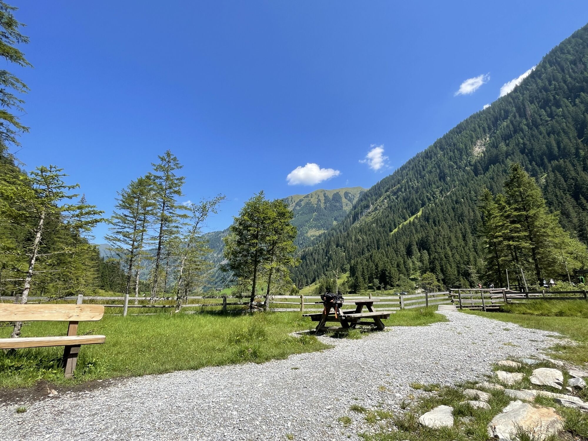
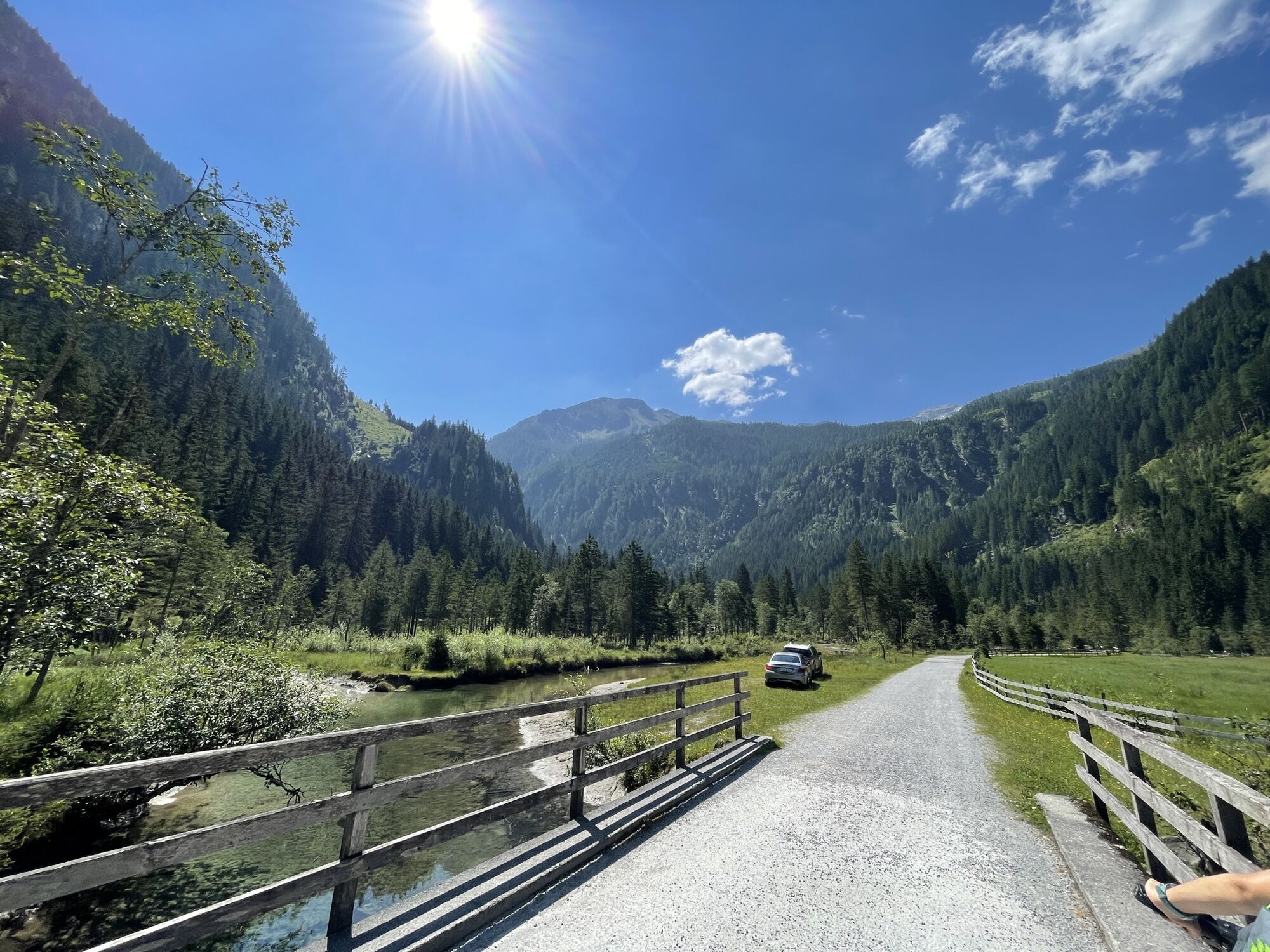
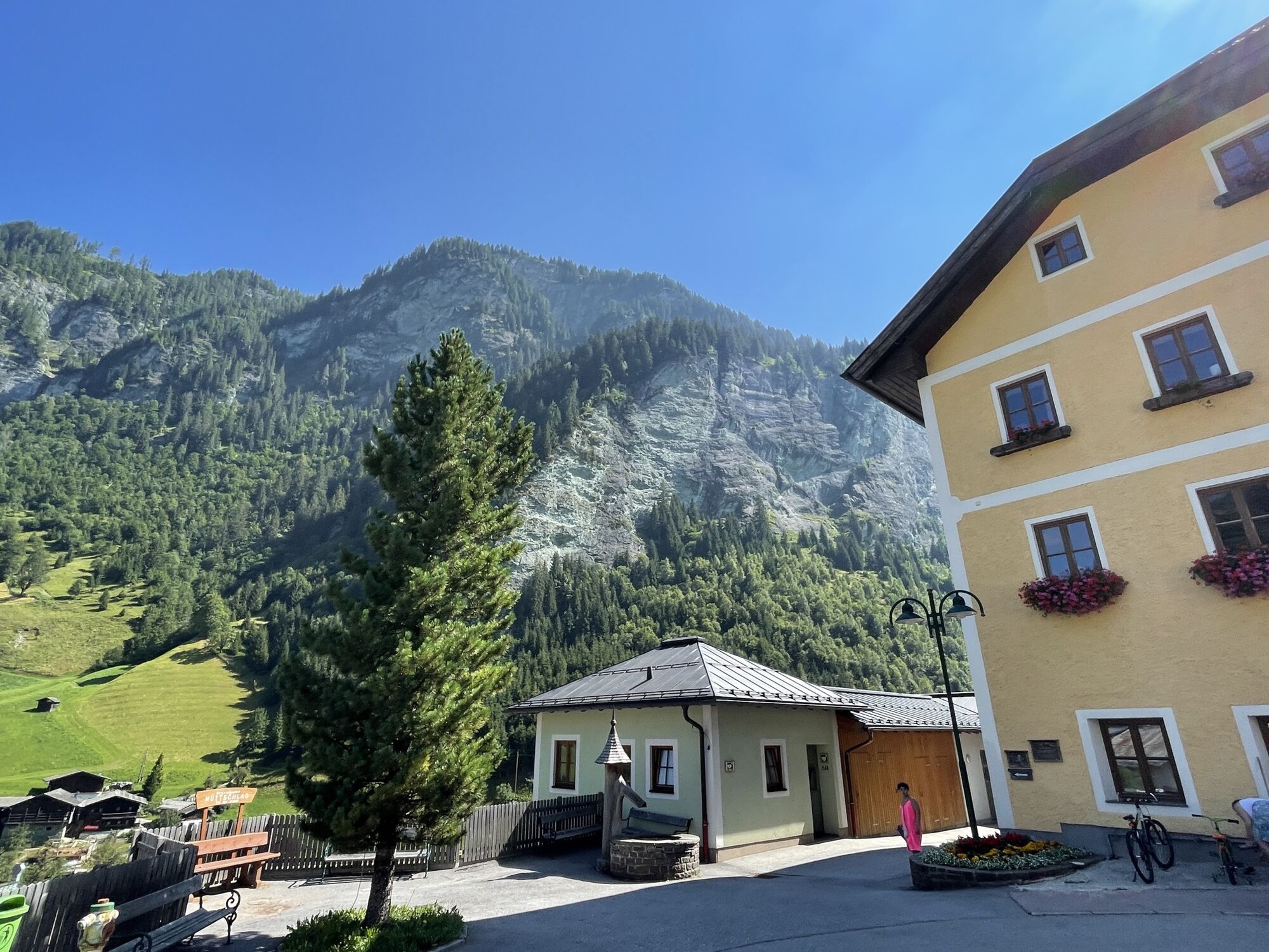
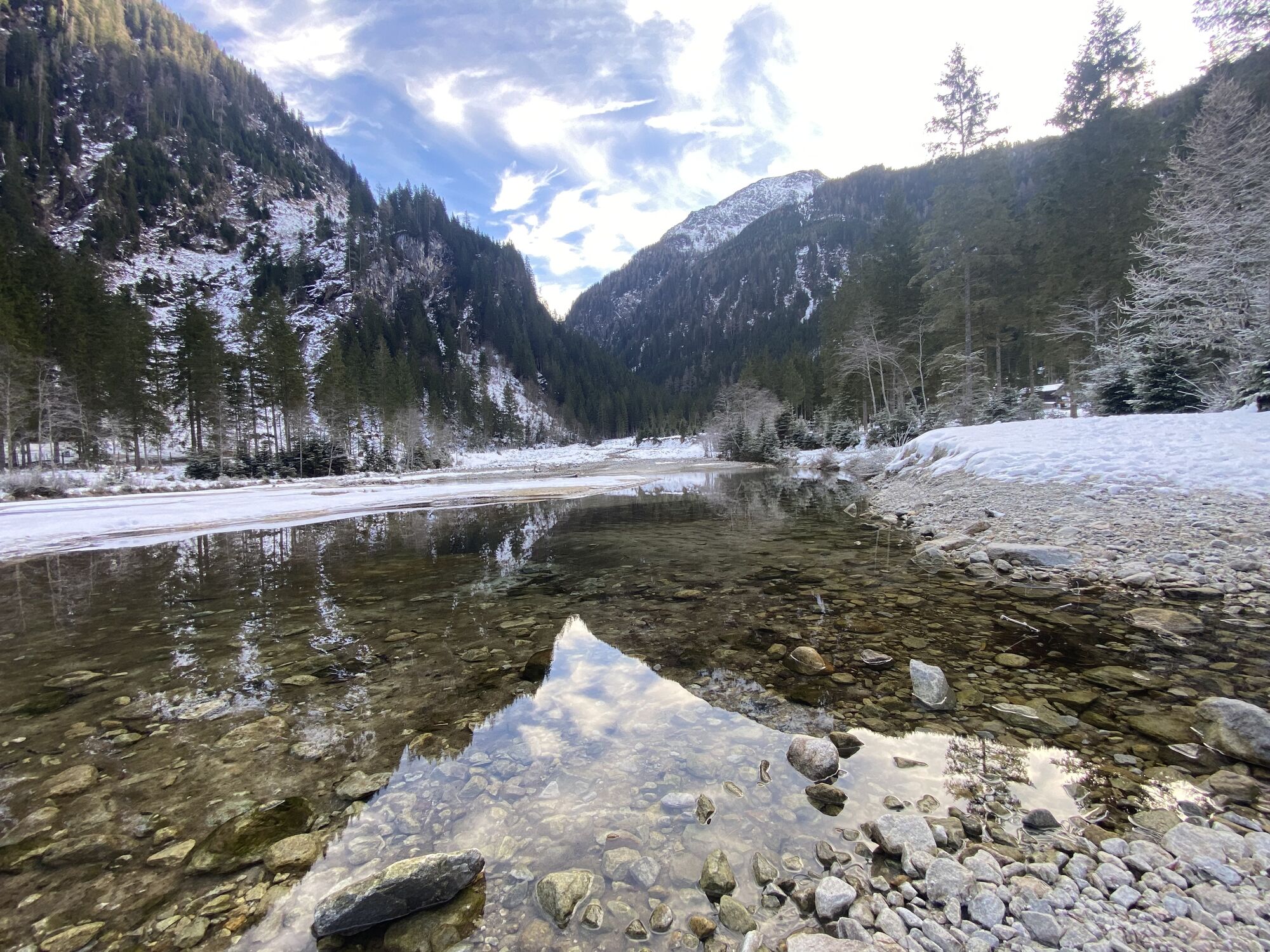
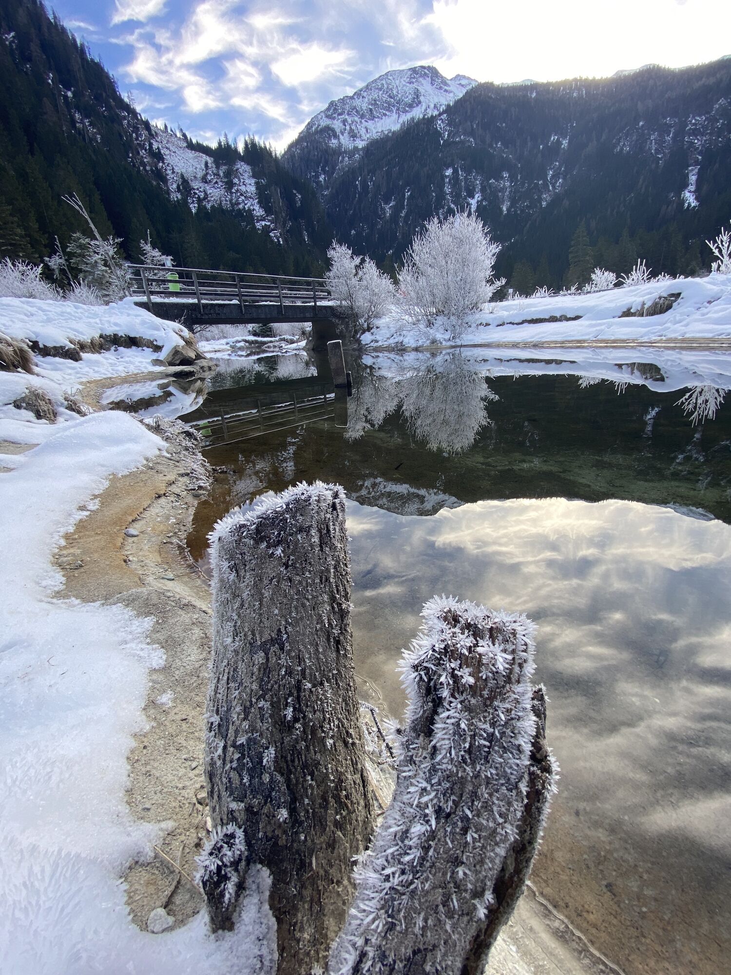
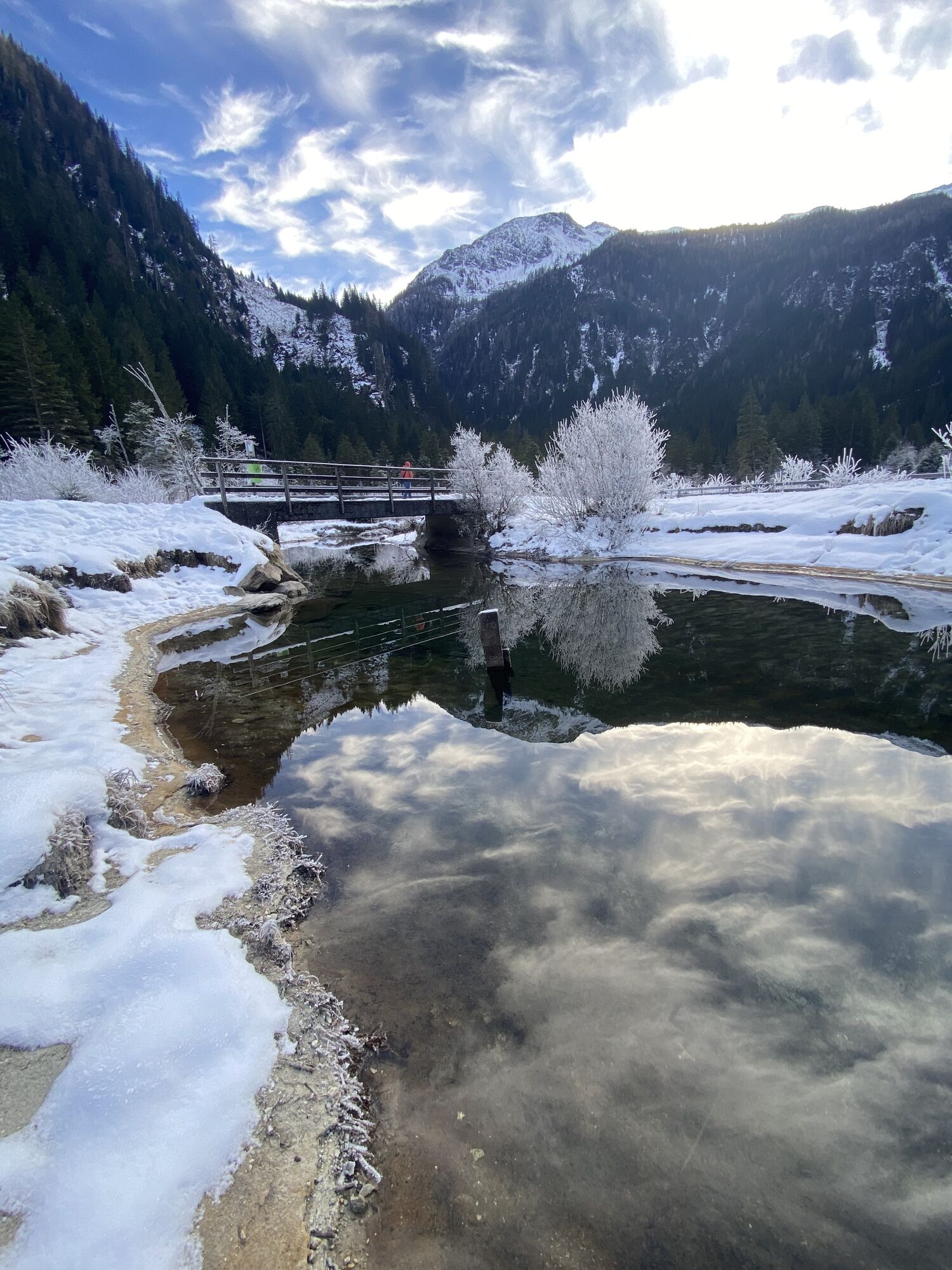
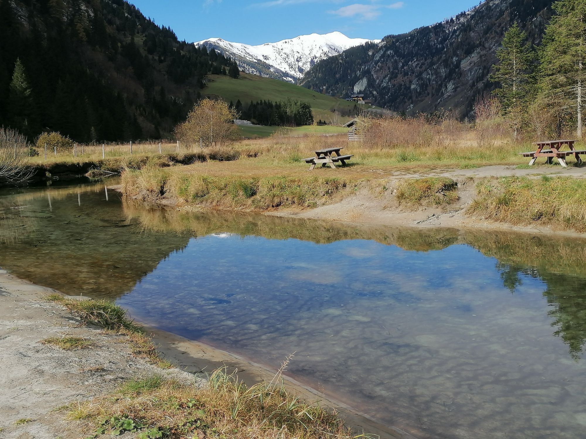
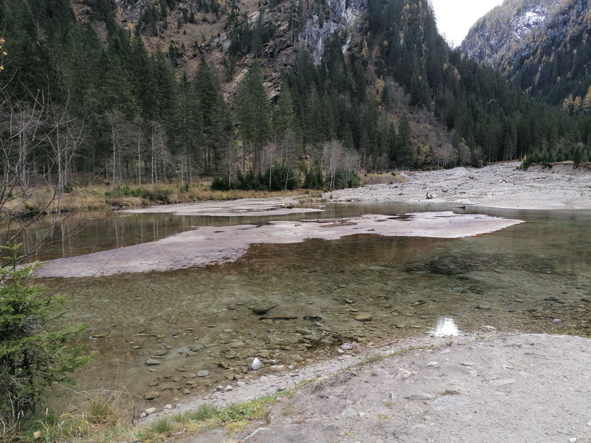
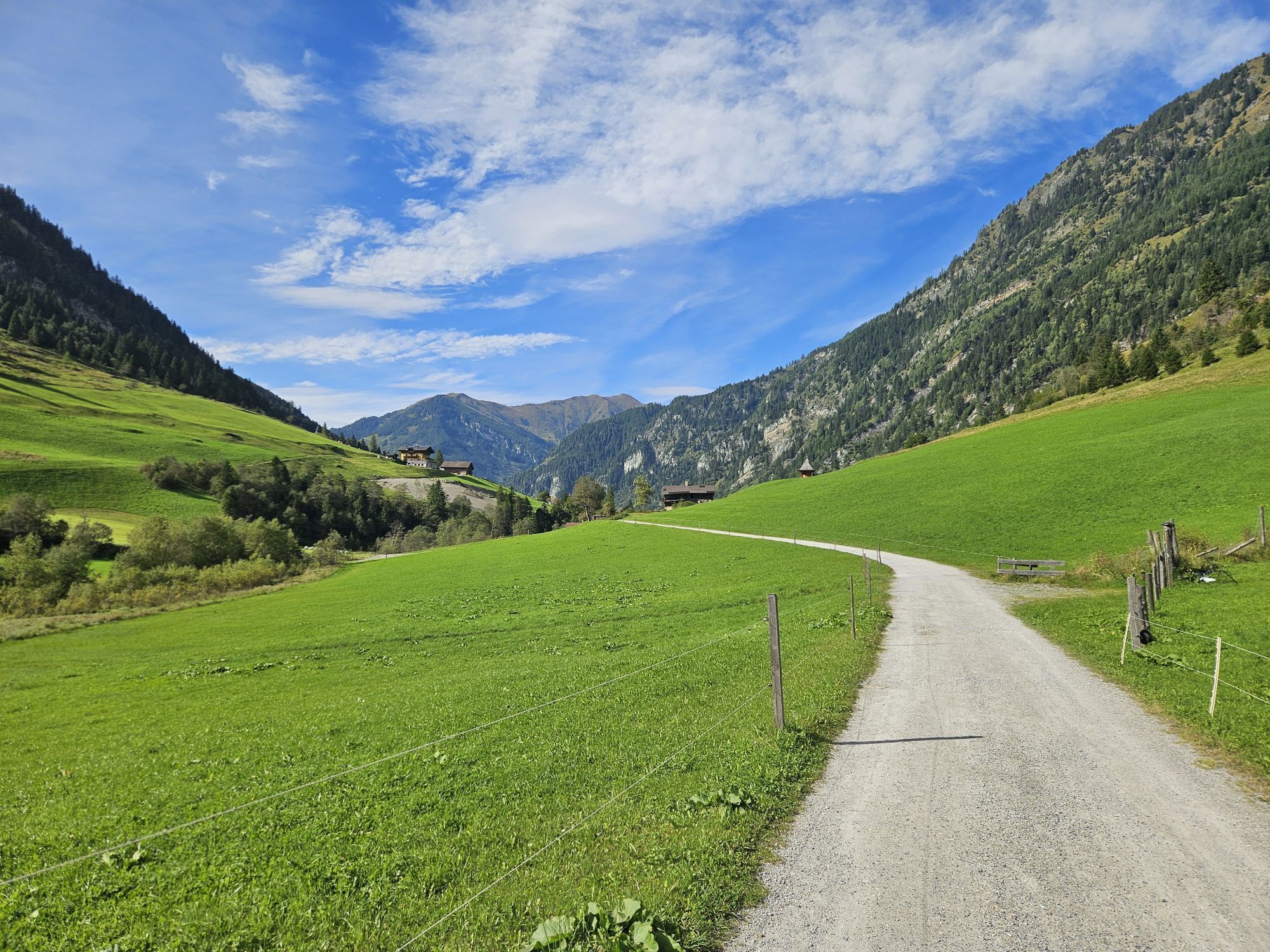
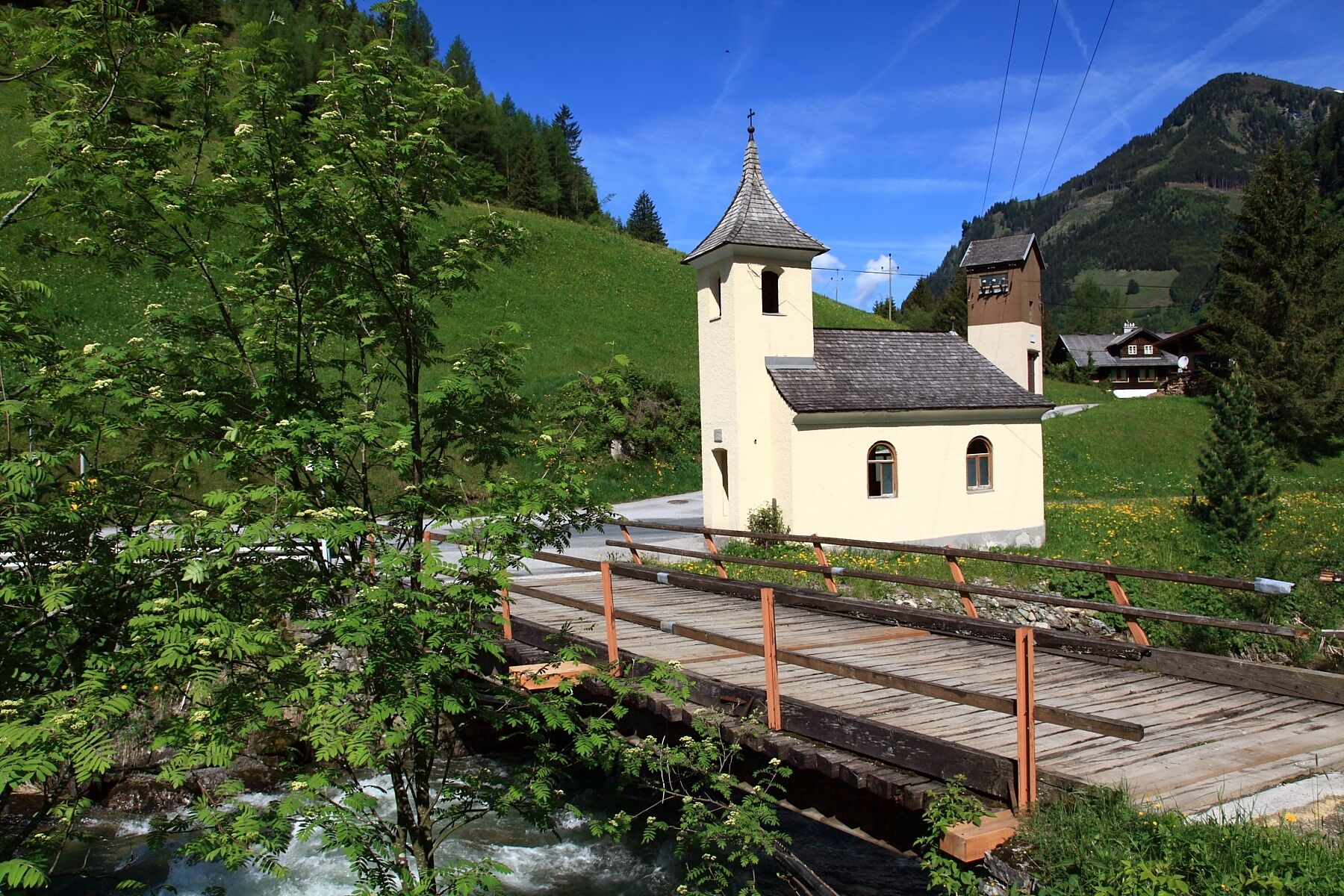
From the Großarl town center go to the southern entrance of Großarl. Before the warehouse, cross the street and cross a small bridge to reach the cycle path. Then the path leads past many lush meadows to the Landhaus Neumayr. Here you cross the Ache. The path continues upstream. On the left side is the Bichl chapel. This chapel was built in the 17th century and is part of the Chapel Trail. It continues past some farms until you make a small ascent. Past the Griesbichl chapel it goes further to the Neuhof chapel and from here behind the tunnel into the town center of Hüttschlag. The path then runs for a short distance along the Großarl state road into the Wolfau. From the district Karteis you can get back onto the cycle path. At the valley end, you will be strengthened by local delicacies at the Talwirt. The path continues past a game enclosure into the car-free, picturesque valley end of Hüttschlag to the Ötzlsee. There is a Kneipp facility as well as a barbecue area. Return is along the same path.
In northern direction:
Drive from the Großarl town center to the roundabout and continue into the district Unterberg. Cross the large mountain railway parking lot, pass the Hotel Tauernhof to the cycle path towards Schied/Au, approx. 5 km one way - return the same way.
In southern direction:
From the Großarl town center drive to the southern entrance of Großarl. Before the warehouse cross the state road and drive over a small bridge. Here turn left and the riverside promenade continues gently to the Landhaus Neumayr. Then cross the Ache again and follow the path to the "Harbach houses" (approx. 5 km). Then cross the street at the power plant and go slightly uphill to the Griesbichlhof. Finally, continue along the Ache to the last houses. Here cross the street again and pass the Neuhof chapel. Now it goes past the tunnel into the town center of Hüttschlag (approx. 8 km from Großarl). Then continue a bit along the Großarl state road, through the Wolfau and from the district Karteis again on the cycle path to the Talwirt. From here the path leads into the car-free, picturesque valley end to the Ötzlsee (approx. 8 km from Hüttschlag) - return the same way.
Ano
Ano
Mountainbike or e-bike
Helmet and other protective gear like gloves, glasses etc.
Warm clothing and rain protection
Emergency kit and mobile phone
Snack, something to drink and money for refreshments
The section from Hüttschlag to the district Karteis runs along the Großarl state road.
Drive by car or take postbus line no. 540 to the town center of Großarl
Parking opportunity at the southern entrance of Großarl or at the gas station
S0
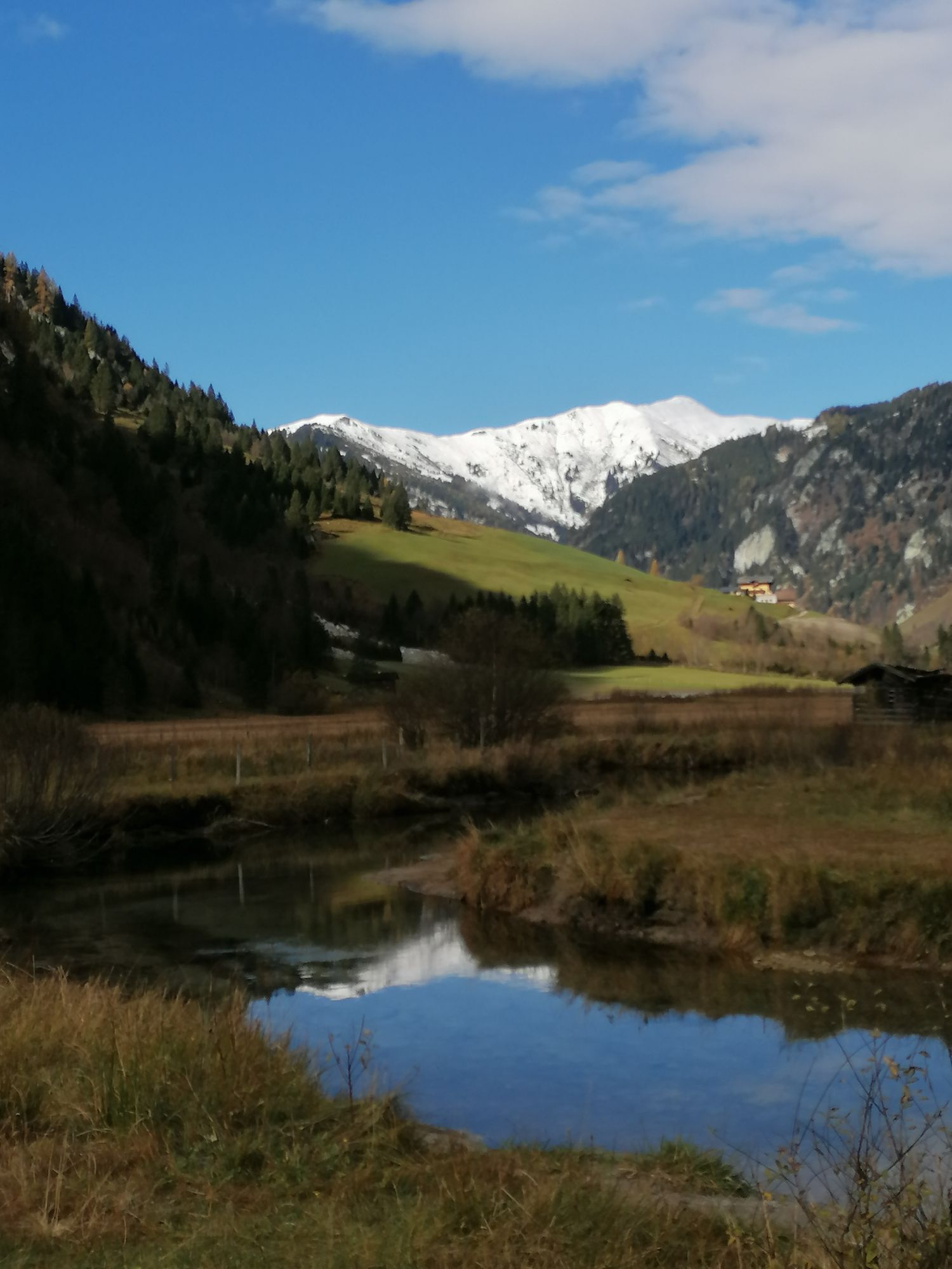
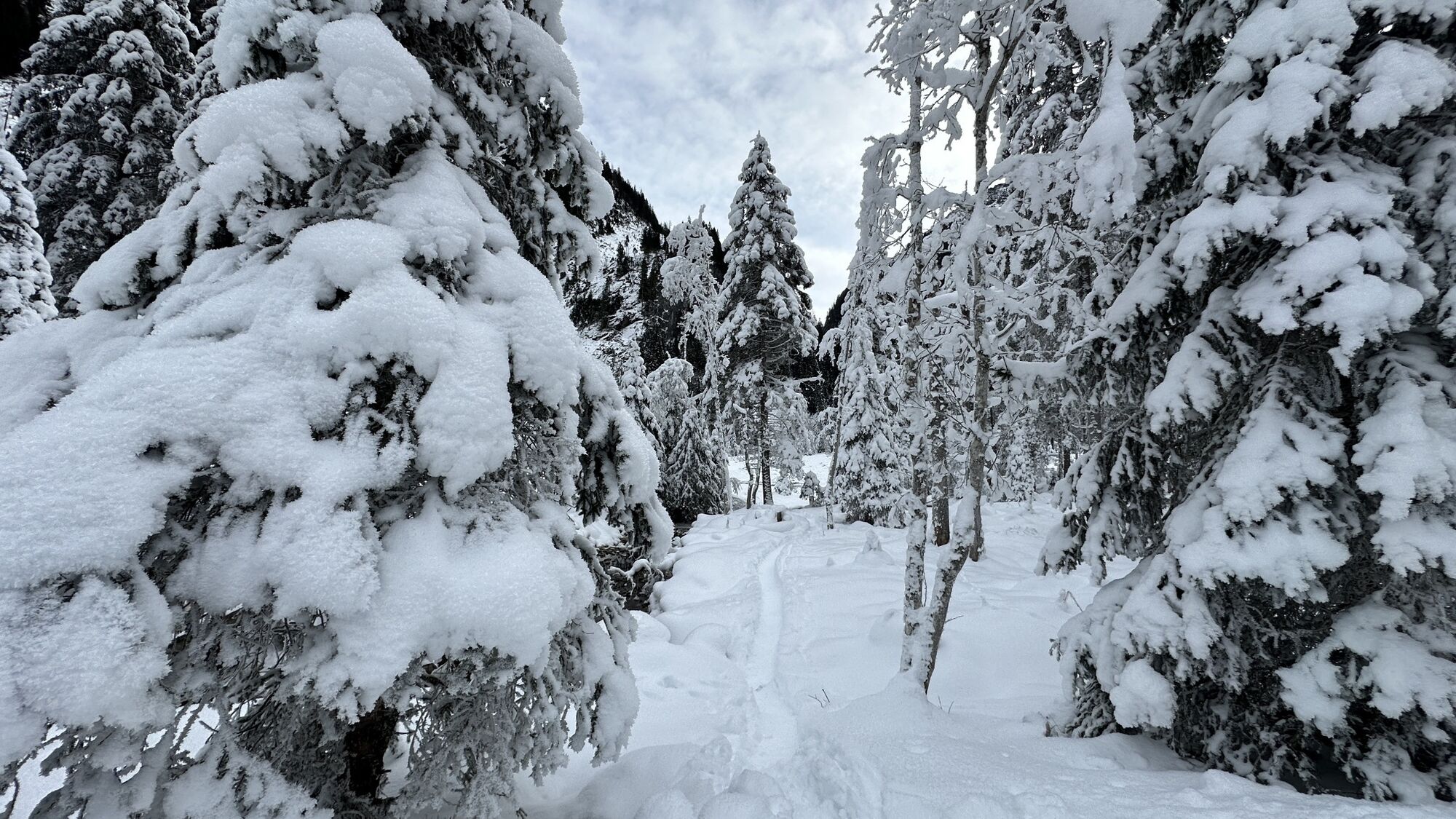
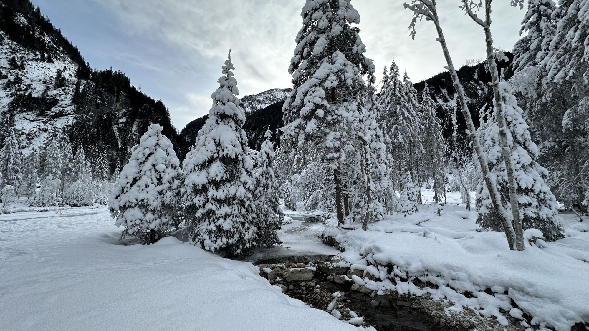
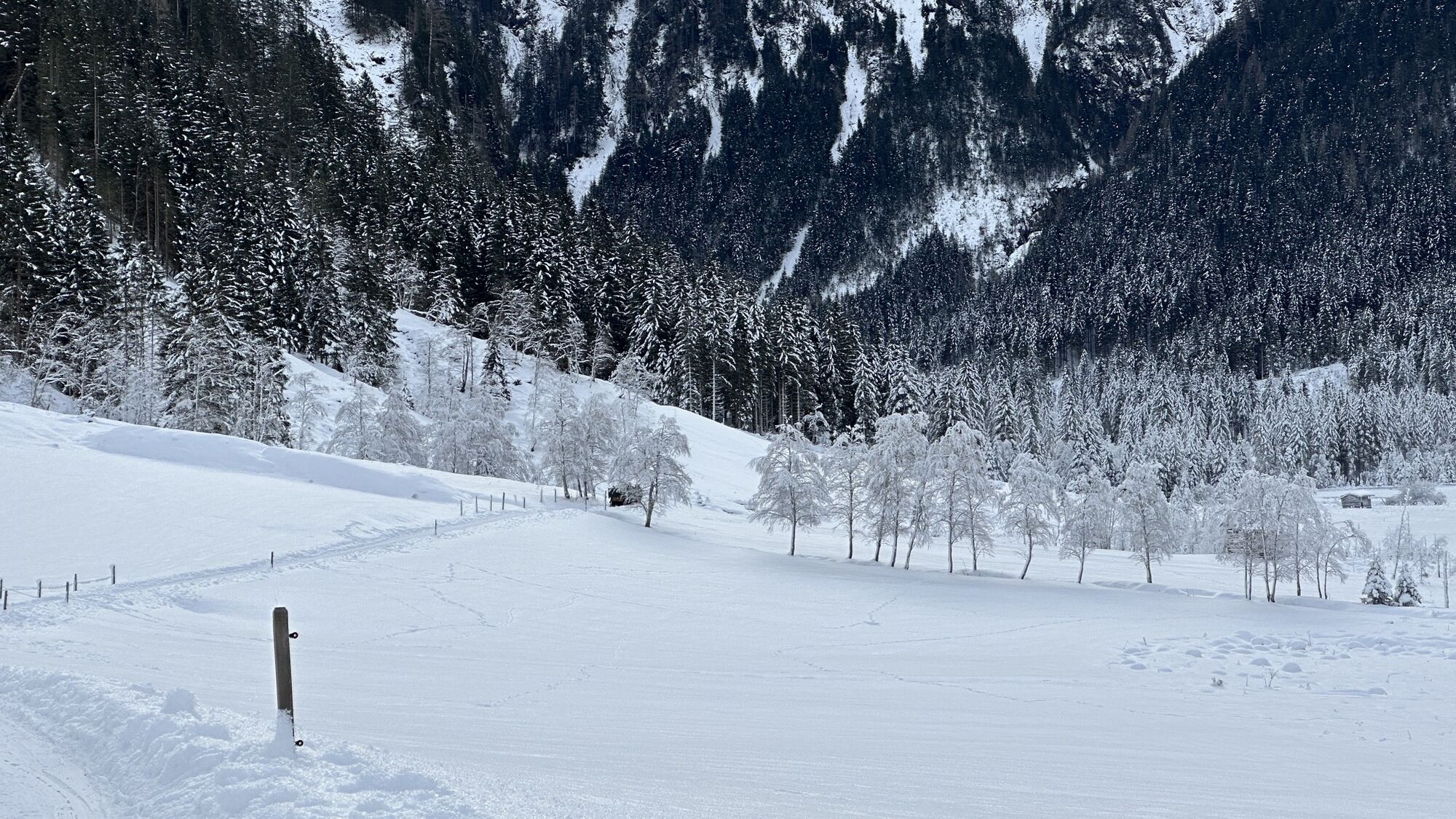
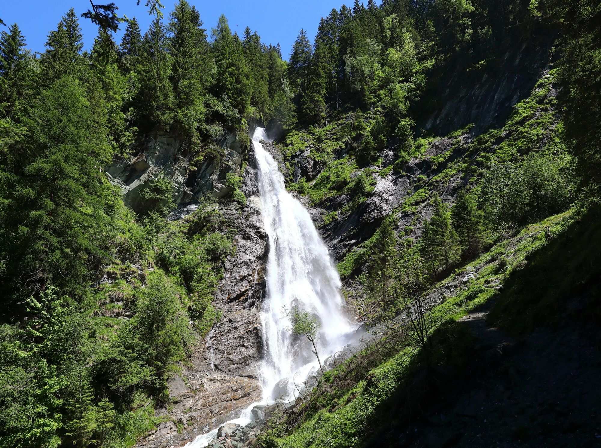
The Ötzlsee invites you to linger in summer.
Webové kamery z prohlídky
Kreuzkogel
Fulseck
Gernkogel - Alpendorf St. Johann
Hotel Lammwirt im Großarltal/Ellmautal
Dorfgastein - Spiegelsee
Bergstation 6er Sesselbahn Harbach
Ellmautal - Palfenhof
St. Johann-Alpendorf
Kühhagerbahn Bergstation
Großarl - Ort
St.Johann-Alpendorf Gernkogel
Gernkogel - Alpendorf St. Johann
Gernkogel - Alpendorf St. Johann
Dorfgastein - Spiegelsee
Dorfgastein - Spiegelsee
Dorfgastein - Spiegelsee
Dorfgastein - Spiegelsee
Großarl - Kieserlbahn
Grossarl - Hotel Gasthof Schützenhof
Großarl - Hotel Kristall Übungslift
Bergstation Kieserl
Fulseck
Fulseck
Fulseck
Fulseck
Fulseck
Fulseck
Fulseck
Gernkogel - Alpendorf St. Johann
Gernkogel - Alpendorf St. Johann
Gernkogel - Alpendorf St. Johann
Gernkogel - Alpendorf St. Johann
Tappenkarseehütte
Hüttschlag - Grossarltal
Großarl
St. Johann-Alpendorf
St. Johann-Alpendorf
St. Johann-Alpendorf
St. Johann-Alpendorf

Oblíbené prohlídky v okolí
- 4,9
Großarl: Aualm - Liechtensteinkopf - Aukopf - Schuhflicker - Schuhflickersee
středníTuristika 5,84 km - 5,0
Großarl: Alpine pasture circuit in Ellmautal
středníTuristika 9,69 km - 4,1
Tappenkarsee Kleinarl
středníTuristika 9,11 km - 4,7
Großarl: Mooslehenalm – Niggeltalalm – Viehhausalm
středníTuristika 5,44 km - 4,9
Höhenweg vom Grünen Baum bis Bad Hofgastein
světloTuristika 7,92 km - 4,6
Mountain route from the Kötschachtal to the natural jewel Reedsee
středníTuristika 12,5 km - 4,3
"Elendrunde" Kleinelend Valley - Zwischenelendscharte - Großelend Valley
středníTuristika 21,9 km - 4,8
Hüttenkogel - Graukogel von der Bergstation
středníHorská turistika 4,68 km - 4,6
Großarl: Saukaralm - Saukarkopf - Gerstreitalm
středníTuristika 9,39 km - 4,6
Bahnhof Bad Hofgastein nach Bahnhof Bad Gastein
středníTuristika 13,0 km

Pěší turistika a stopování


Nenechte si ujít nabídky a inspiraci pro vaši příští dovolenou
Vaše e-mailová adresa byl přidán do poštovního seznamu.