


Asitzkogel - Summit tour MTB/E-MTB
Úroveň obtížnosti: S0
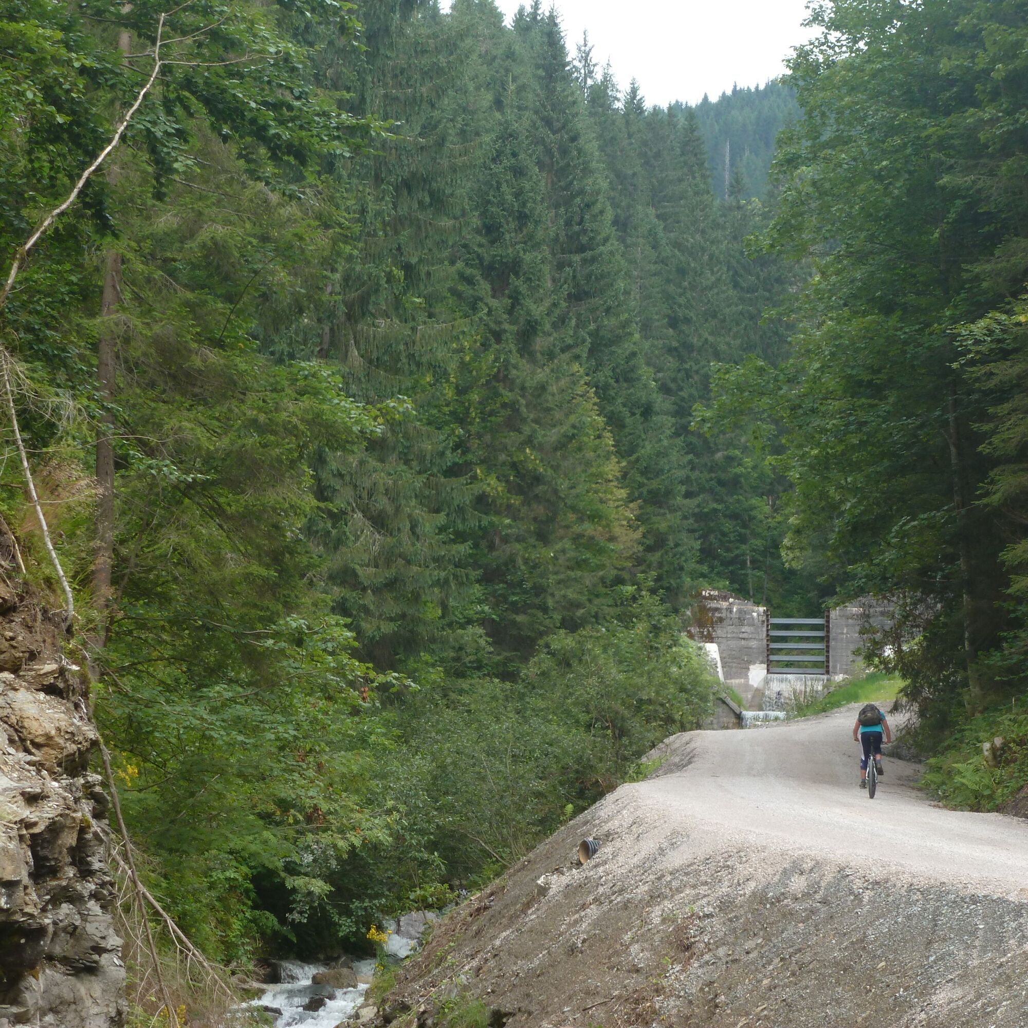
This varied mountain bike and e-mountain bike tour starts in the center of Viehhofen and initially leads steadily uphill on well-maintained forest roads towards the Asitzkogel. The ascent runs largely...
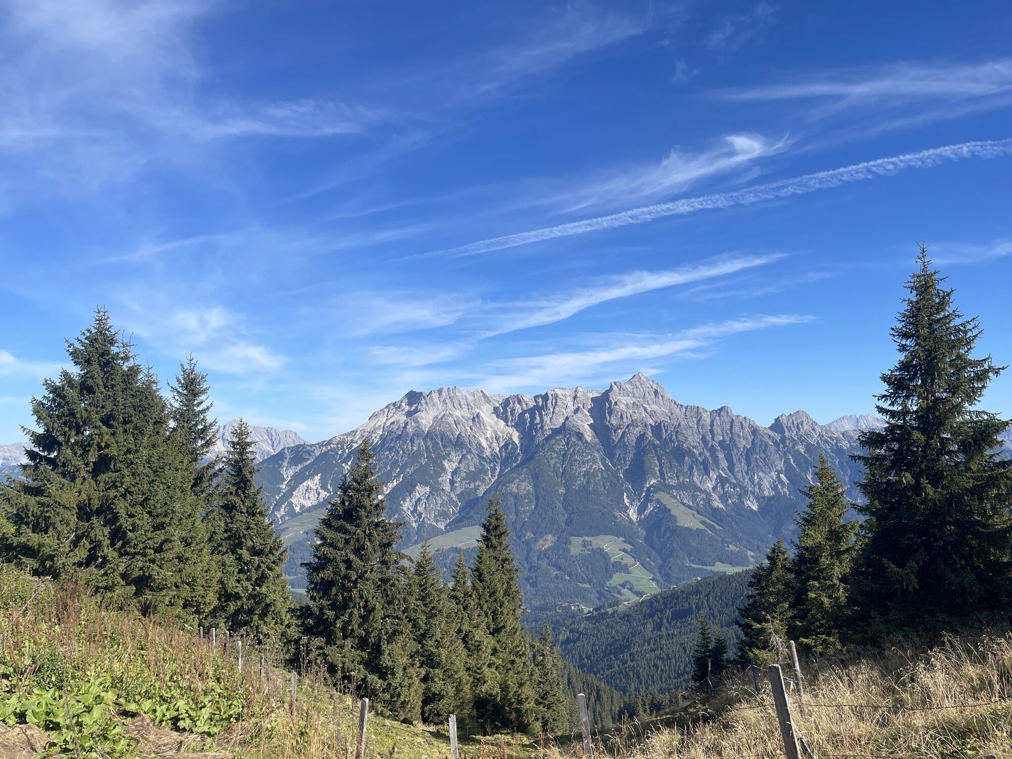
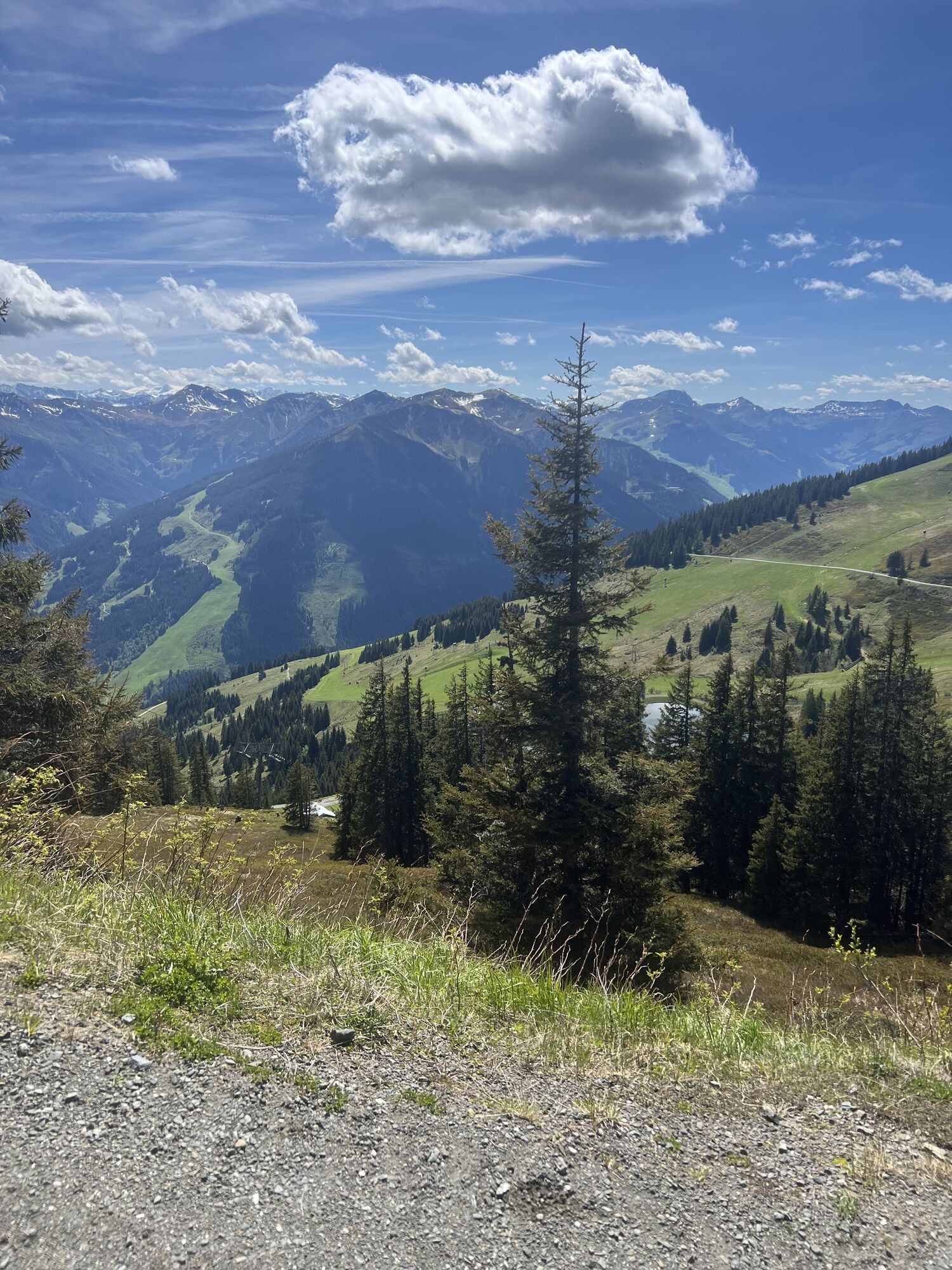
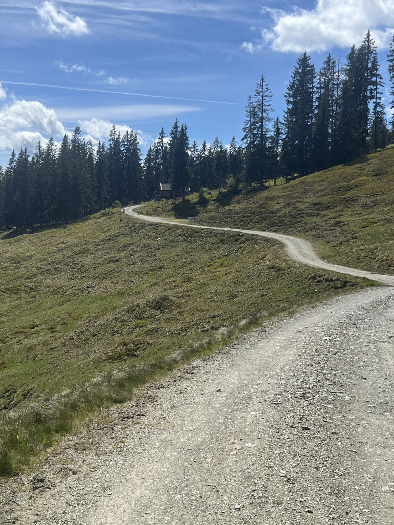
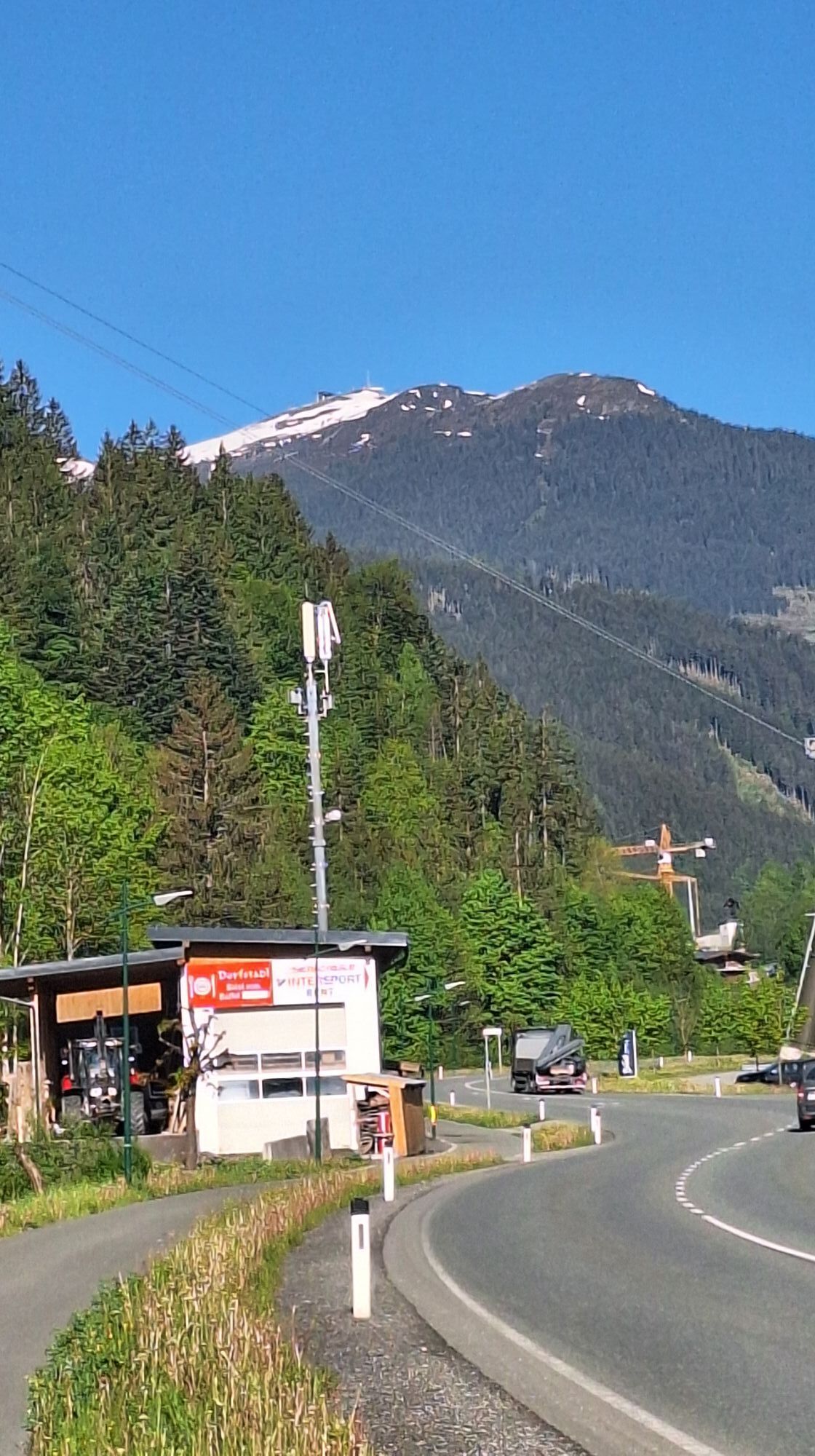
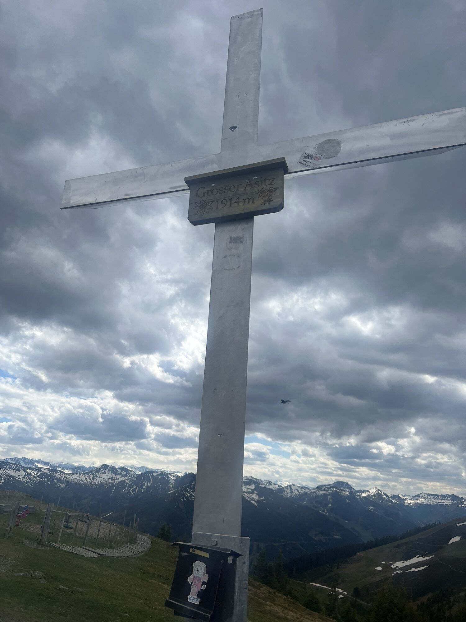
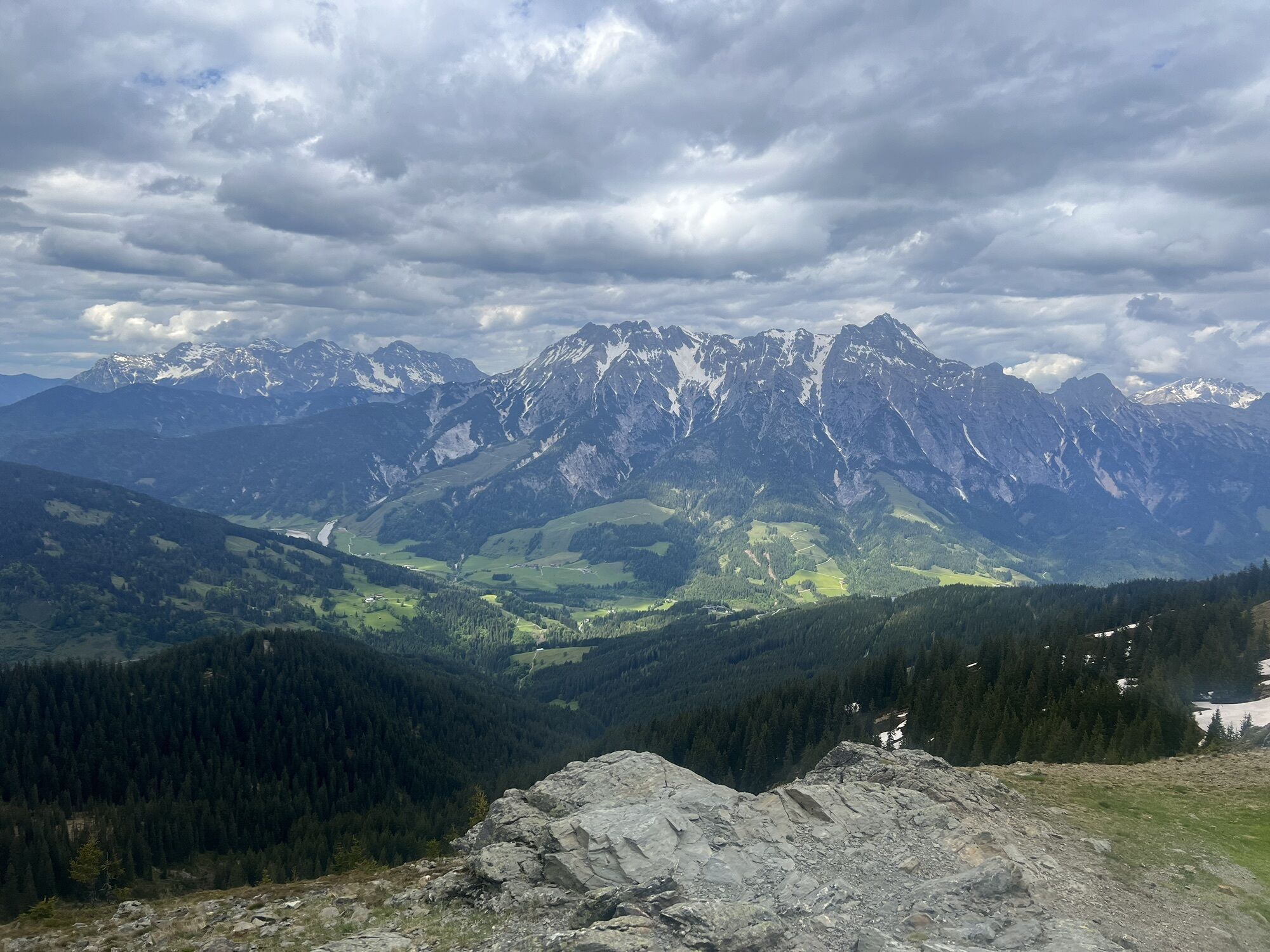
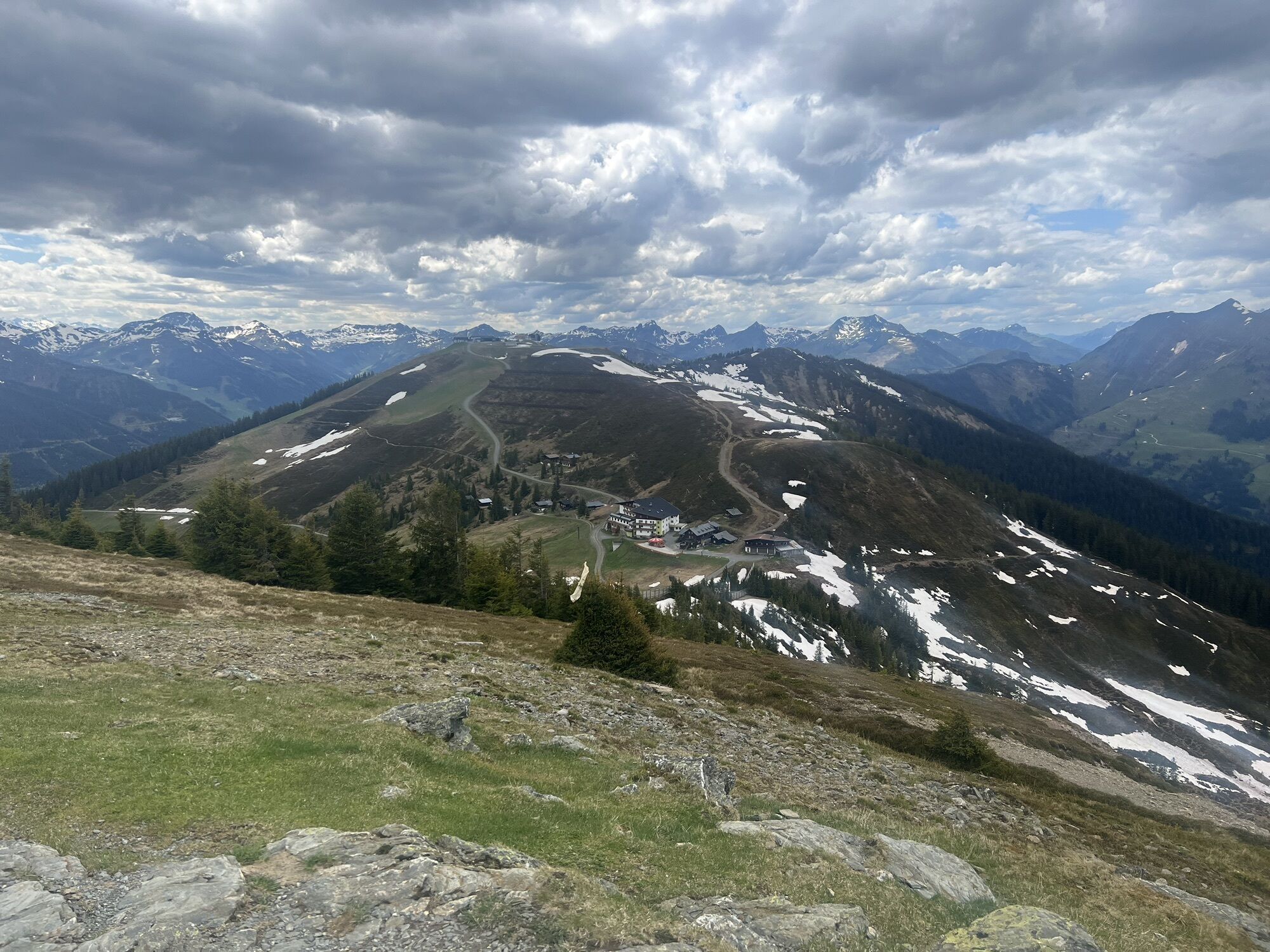
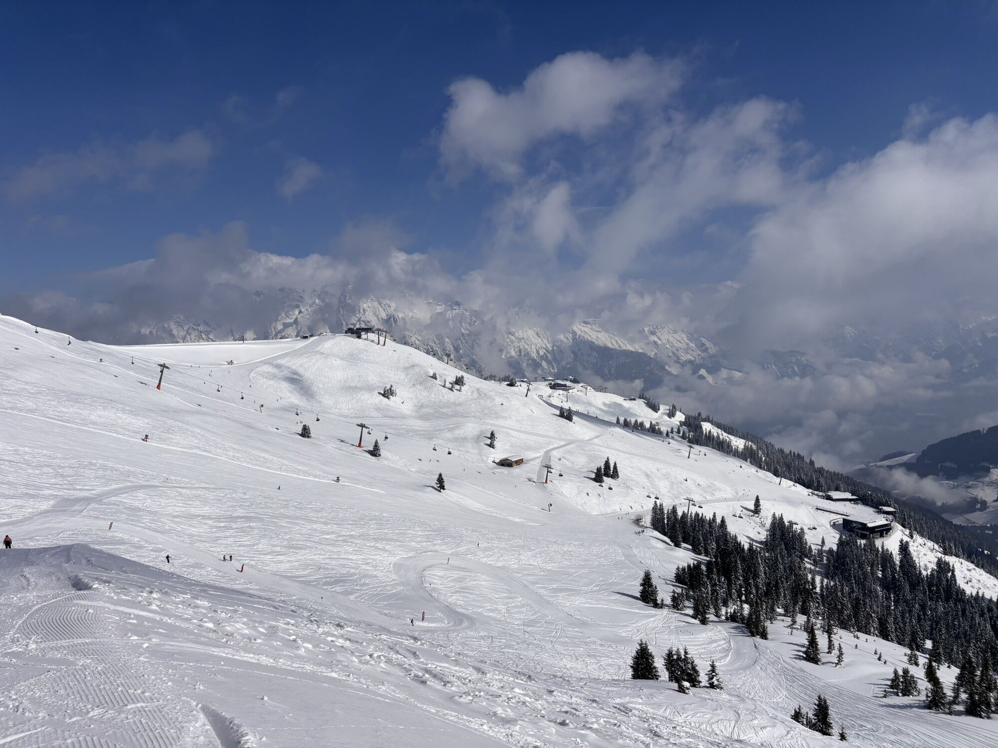
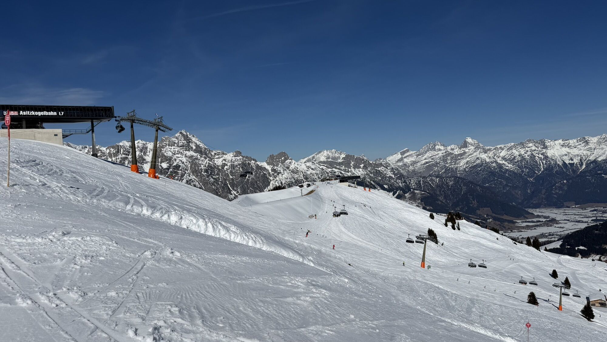
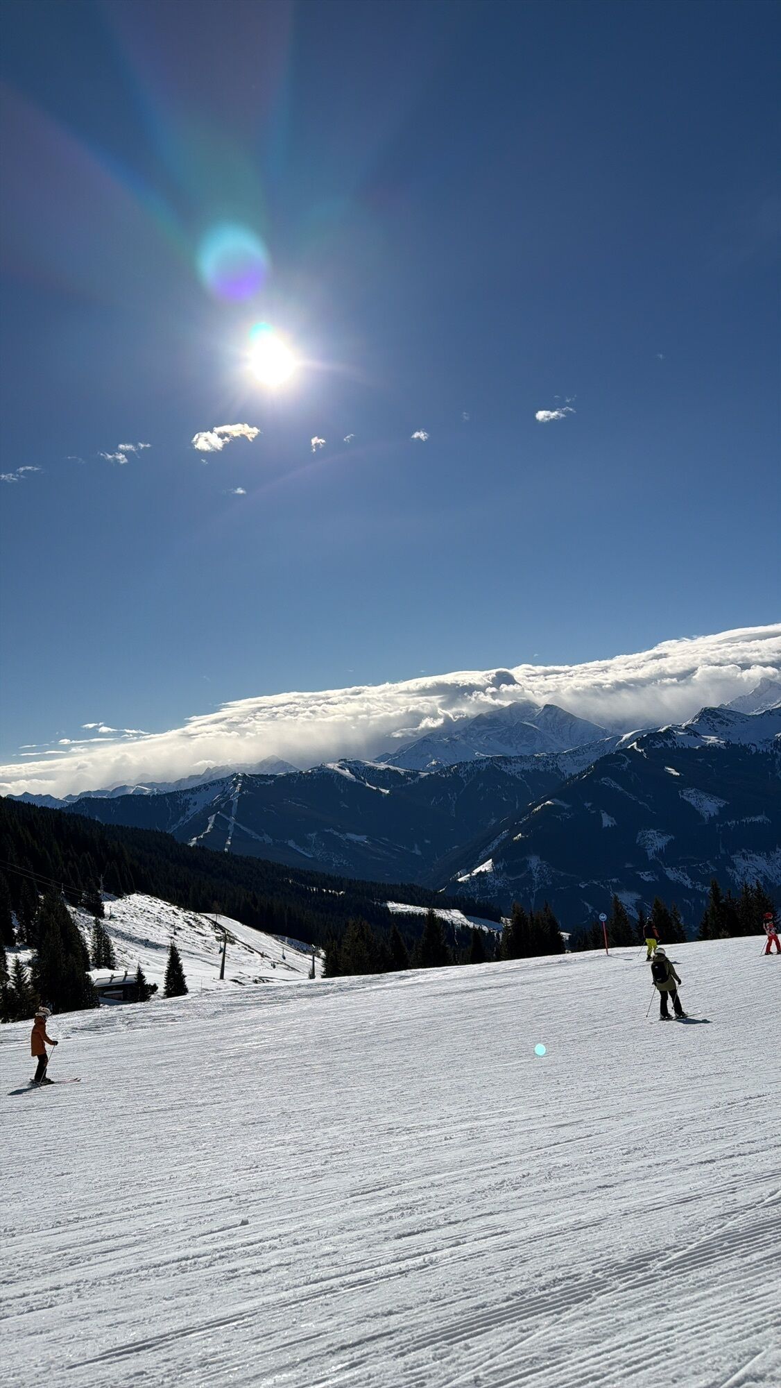
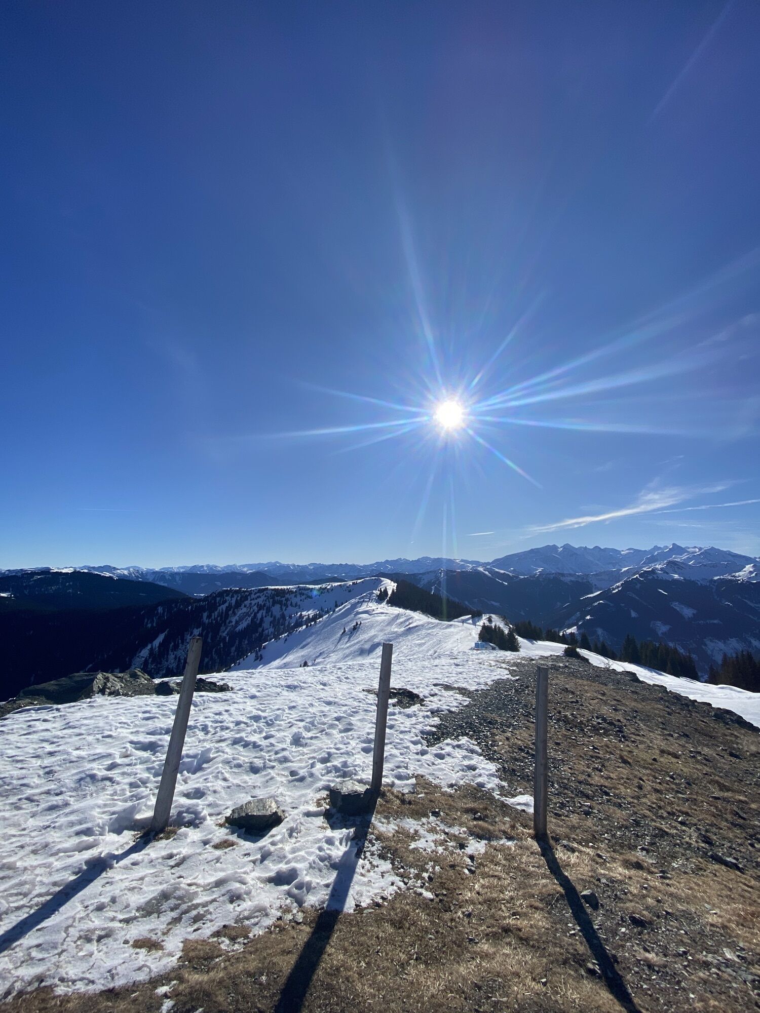
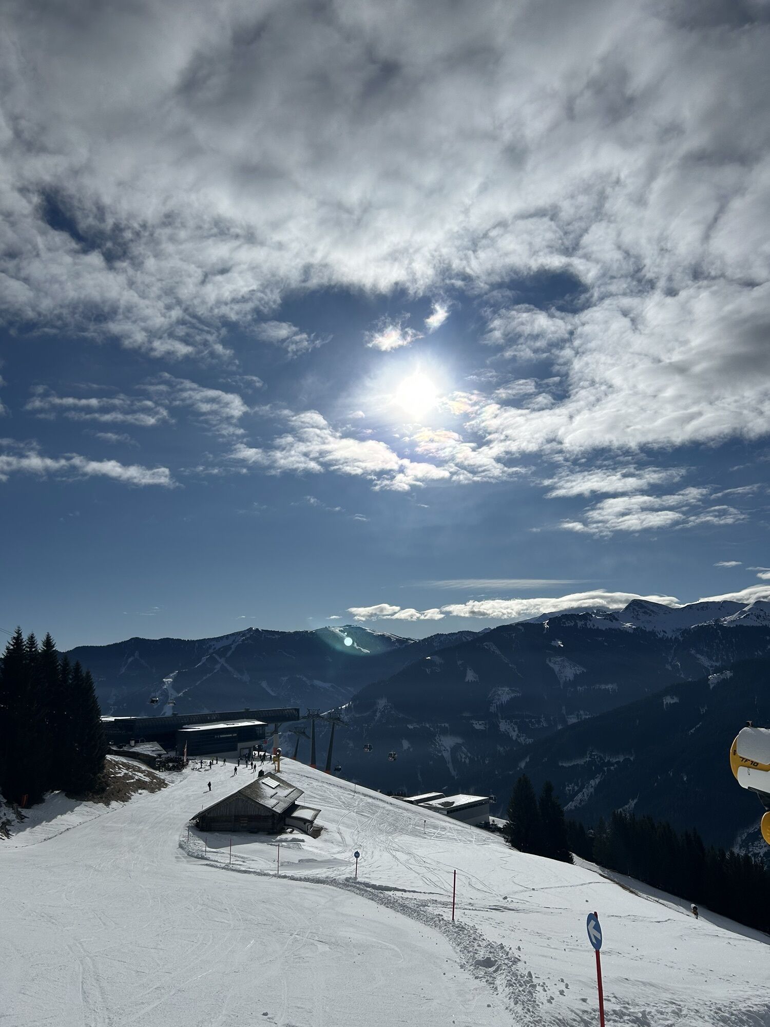
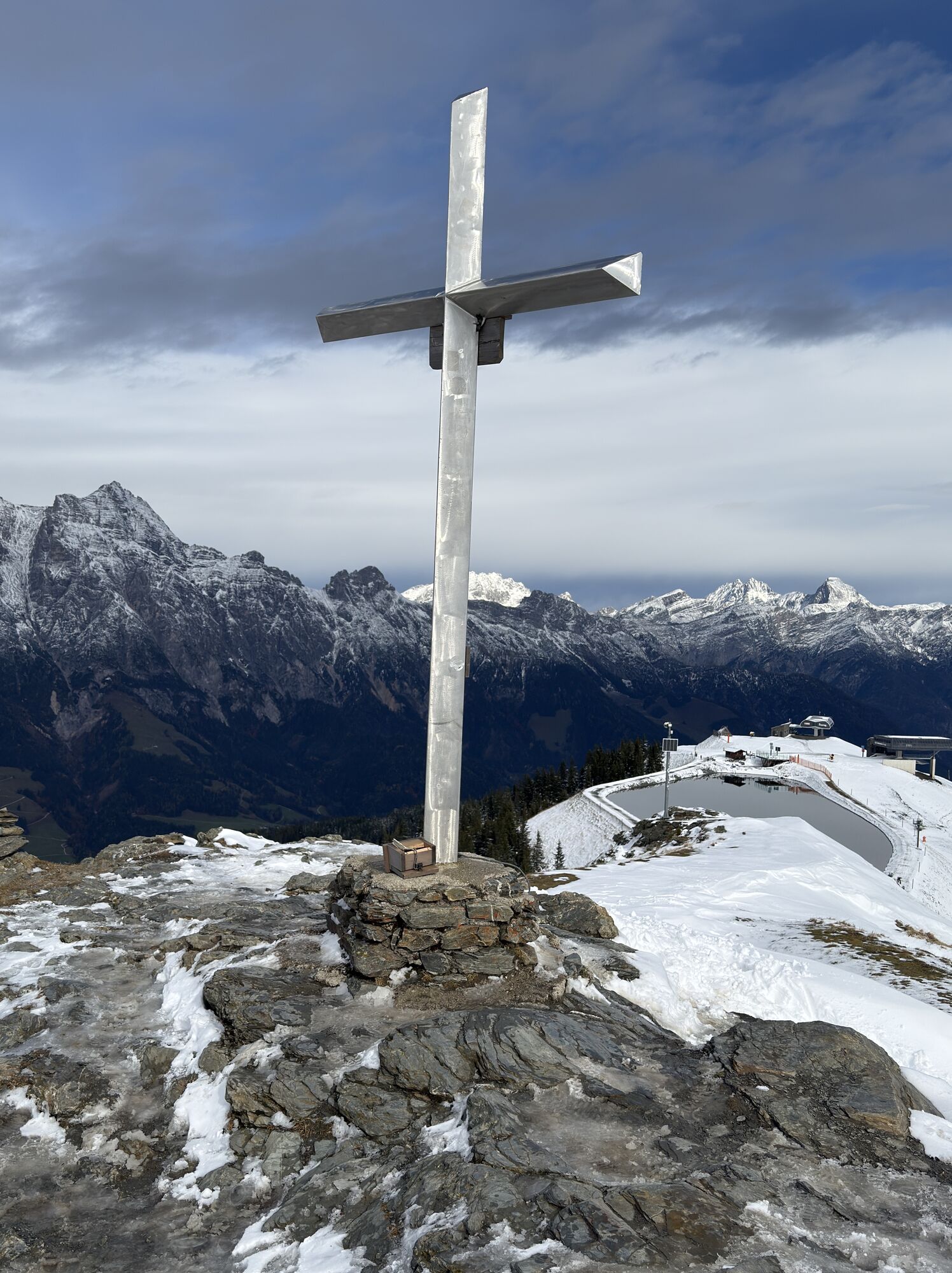
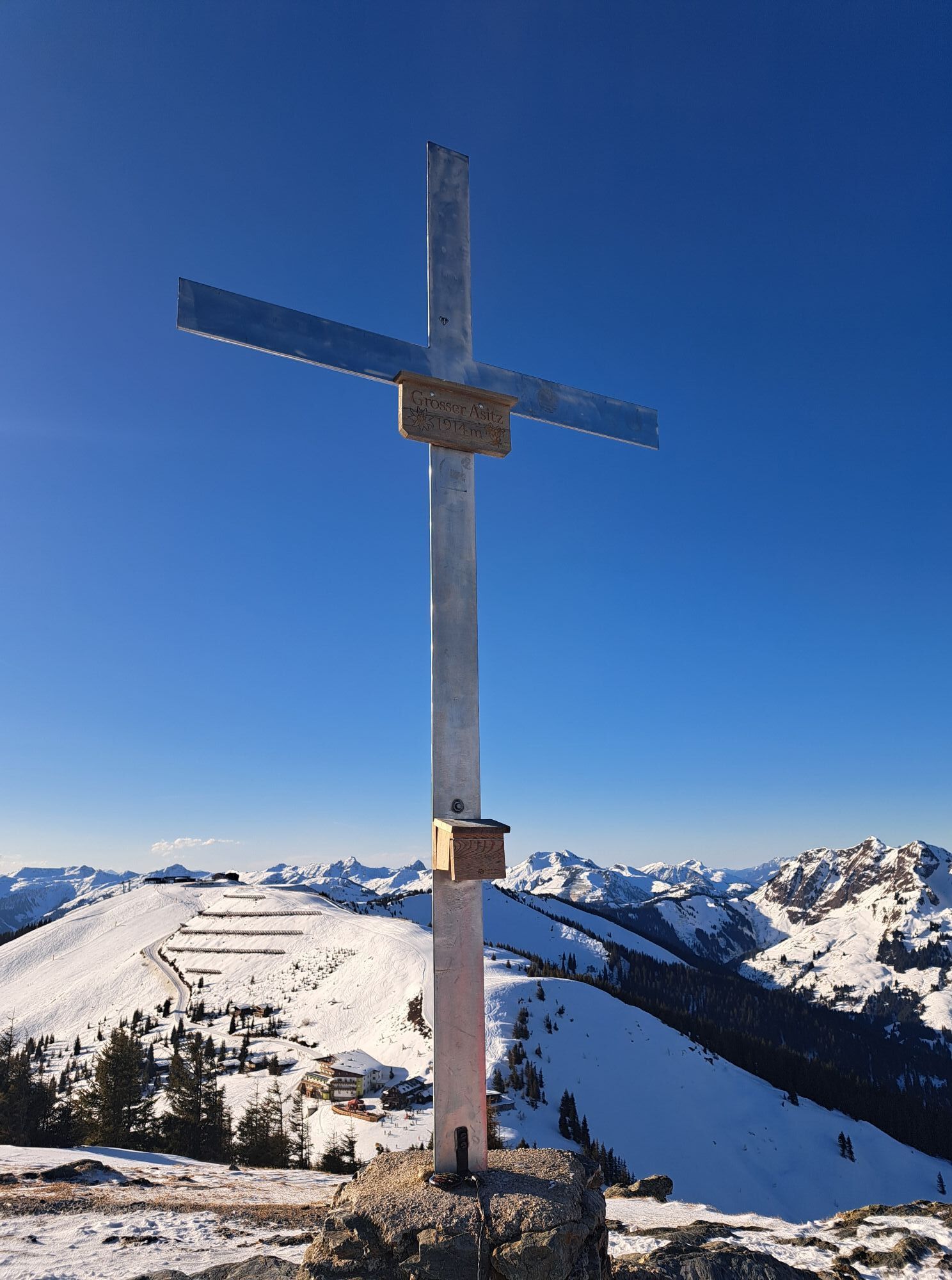
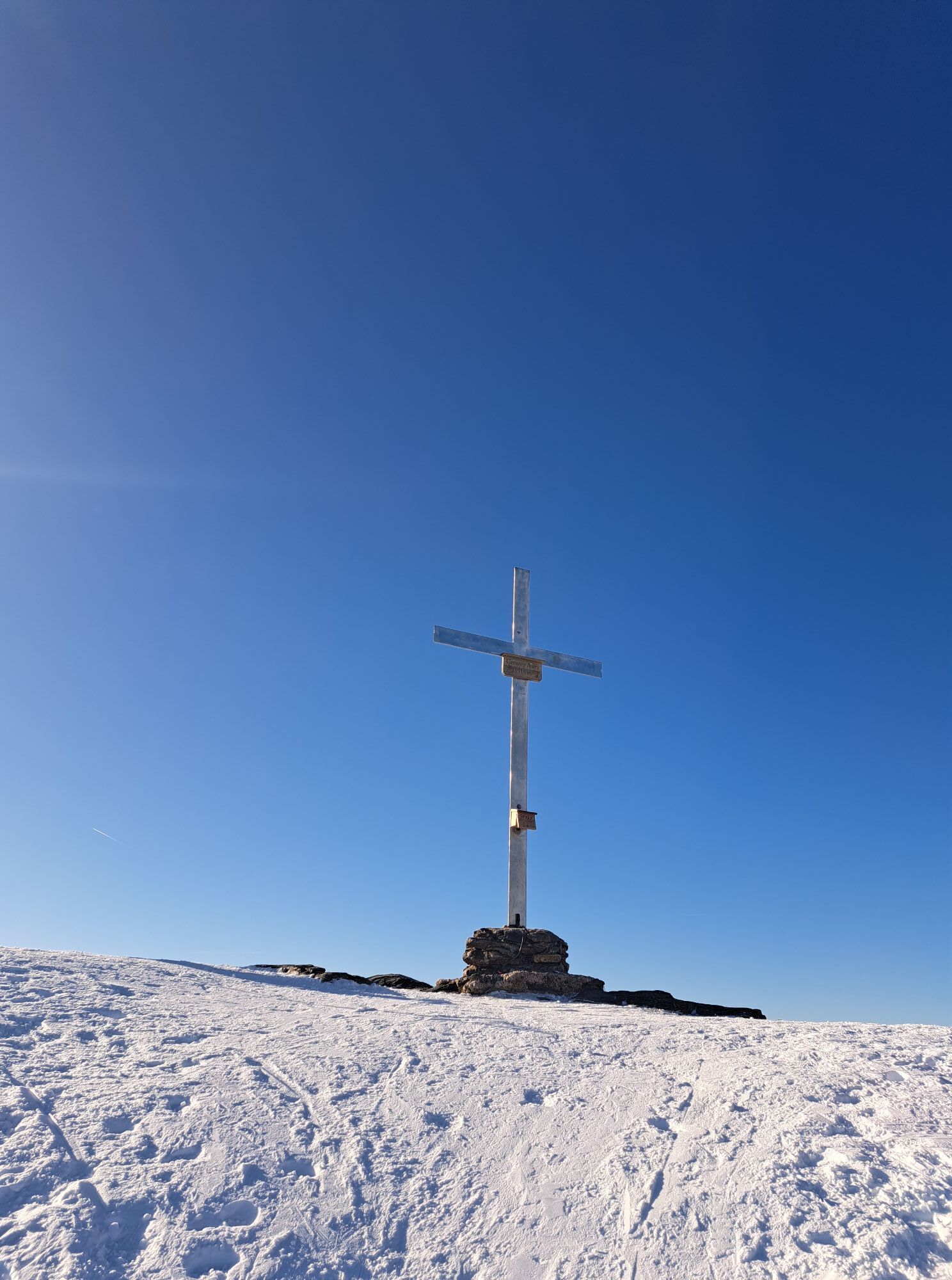
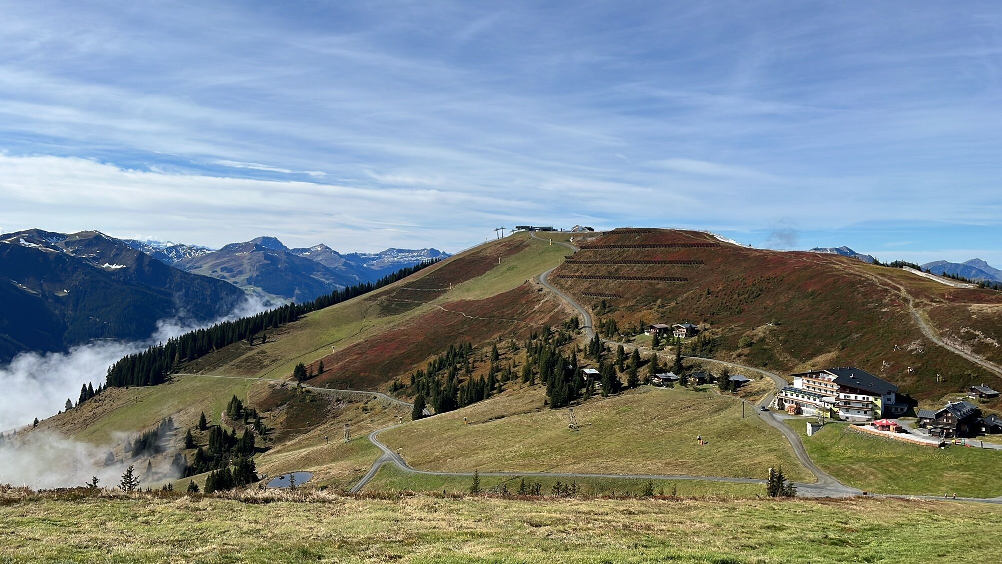
This varied mountain bike and e-mountain bike tour starts in the center of Viehhofen and initially leads steadily uphill on well-maintained forest roads towards the Asitzkogel. The ascent runs largely below the striking Geierkogel and offers stunning views of the Glemmtal valley, the Pinzgau Grass Mountains, and the surrounding mountain landscape. The forest roads are easily rideable and ideal for both sporty mountain bikers and leisurely e-mountain bikers. Upon reaching the Asitzkogel, you'll be rewarded with a magnificent panoramic view – a perfect spot for a short break and to catch your breath. The descent leads towards the Schönleitenhütte mountain hut. Here, you can stop for refreshments with regional specialties and a sunny terrace. The route then continues downhill to Jausern. From Jausern, the route follows the bike path back to Viehhofen. The final section runs gently along the valley floor, providing a pleasant end to this scenic loop.

Ano
S0
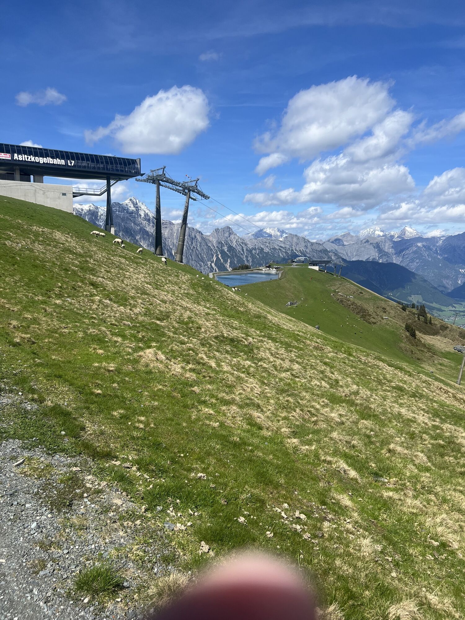
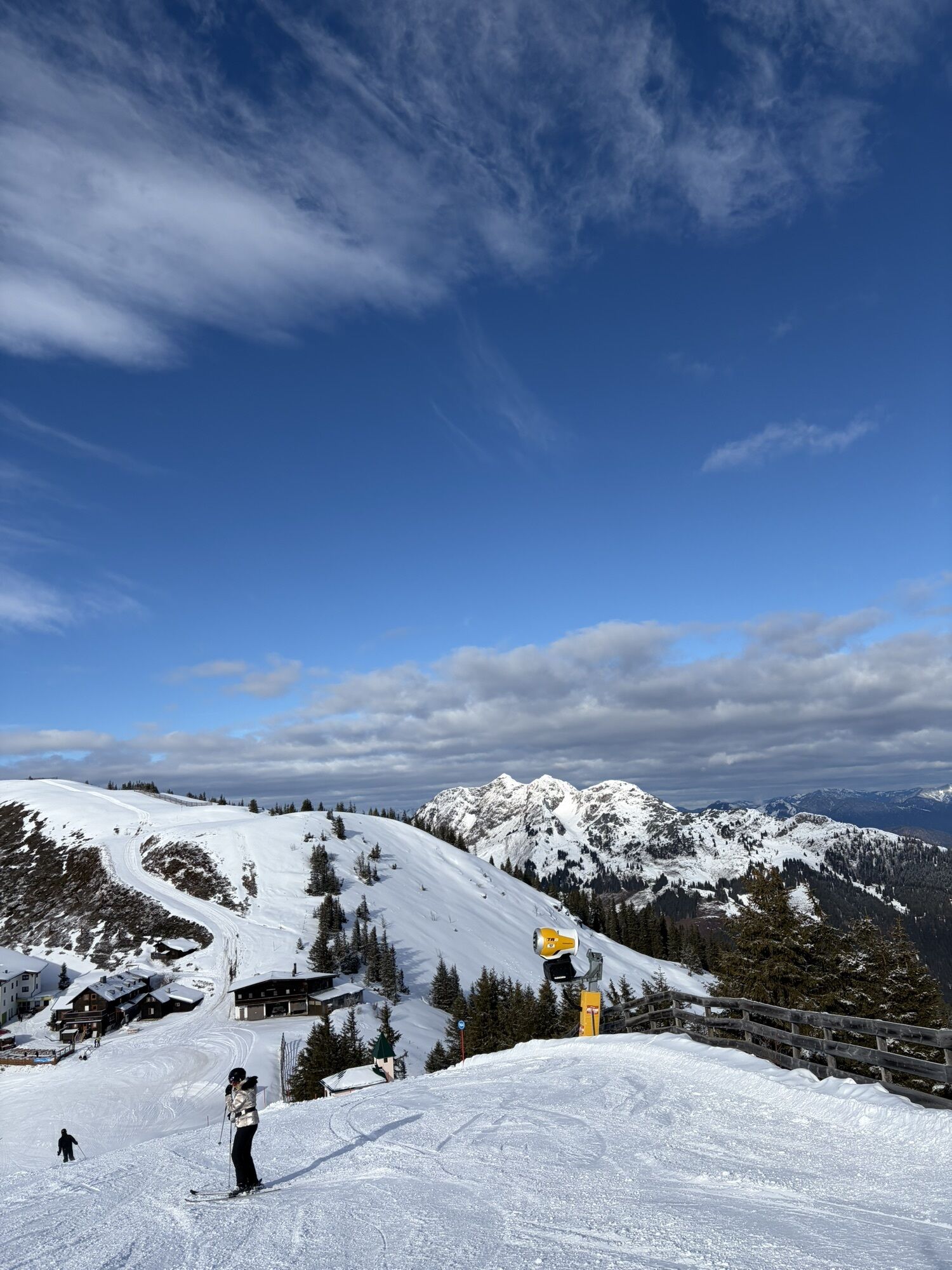
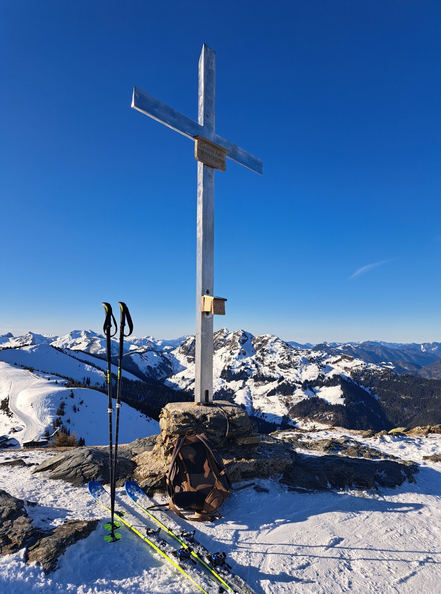
A special highlight awaits you at Asitzkogel: a small wooden hut with a pull-out lounger invites you to relax and unwind. Here you can enjoy the tranquility of the mountains while listening to the sounds of the "Tonspur Leogang" (Leogang Sound Trail). The integrated sound installation creates a truly unique atmosphere – panorama, nature, and music merge into an unforgettable experience. An ideal spot to take a short break, enjoy the view, and recharge for the next leg of your journey.
Webové kamery z prohlídky
Schmittenhöhe
Schattberg - West
Asitz Gipfel
Berghotel Seidl-Alm
Schattberg Westgipfel
Hinterglemm Dorf
Kohlmais Tal
Leogang
Großer Asitz / Gipfelkreuz
Saalbach-Hinterglemm - Schattberg Ost
Saalbach-Hinterglemm - Wildenkarkogel
Saalbach - Hotel Alpinresort
Wildenkarkogel
Talstation Asitzbahn
Maishofen Sausteige
Saalbach-Hinterglemm - Kohlmais
Kohlmaiskopf
Leogang - Grosser Asitz
Maishofen Dorfplatz
zellamseeXpress
Eberharthof - Saalbach-Hinterglemm
Oblíbené prohlídky v okolí
- 4,6
Steinalm
světloTuristika 2,71 km - 4,2
Schwalbenwand Nr. 80, 81, 82
středníTuristika 13,0 km - 4,8
Sigmund Thun Klamm, Klammsee, Bürgkogel
světloTuristika 4,56 km - 4,3
Peter-Wiechenthaler Hut
středníTuristika 4,32 km - 4,2
Passauer Hütte
heavyTuristika 4,14 km - 4,5
Sigmund Thun Klamm
světloTuristika 3,10 km - 4,5
Birnbachloch Leogang, Österreich
středníTuristika 5,18 km - 4,0
Maurerkogel (Top)
Turistika 10,5 km - 4,9
Hochsonnberg Runde
středníMountainbike 59,8 km - 4,4
Thumersbach, Runde um den Zeller See
světloTuristika 13,3 km
Pěší turistika a stopování


Nenechte si ujít nabídky a inspiraci pro vaši příští dovolenou
Vaše e-mailová adresa byl přidán do poštovního seznamu.