






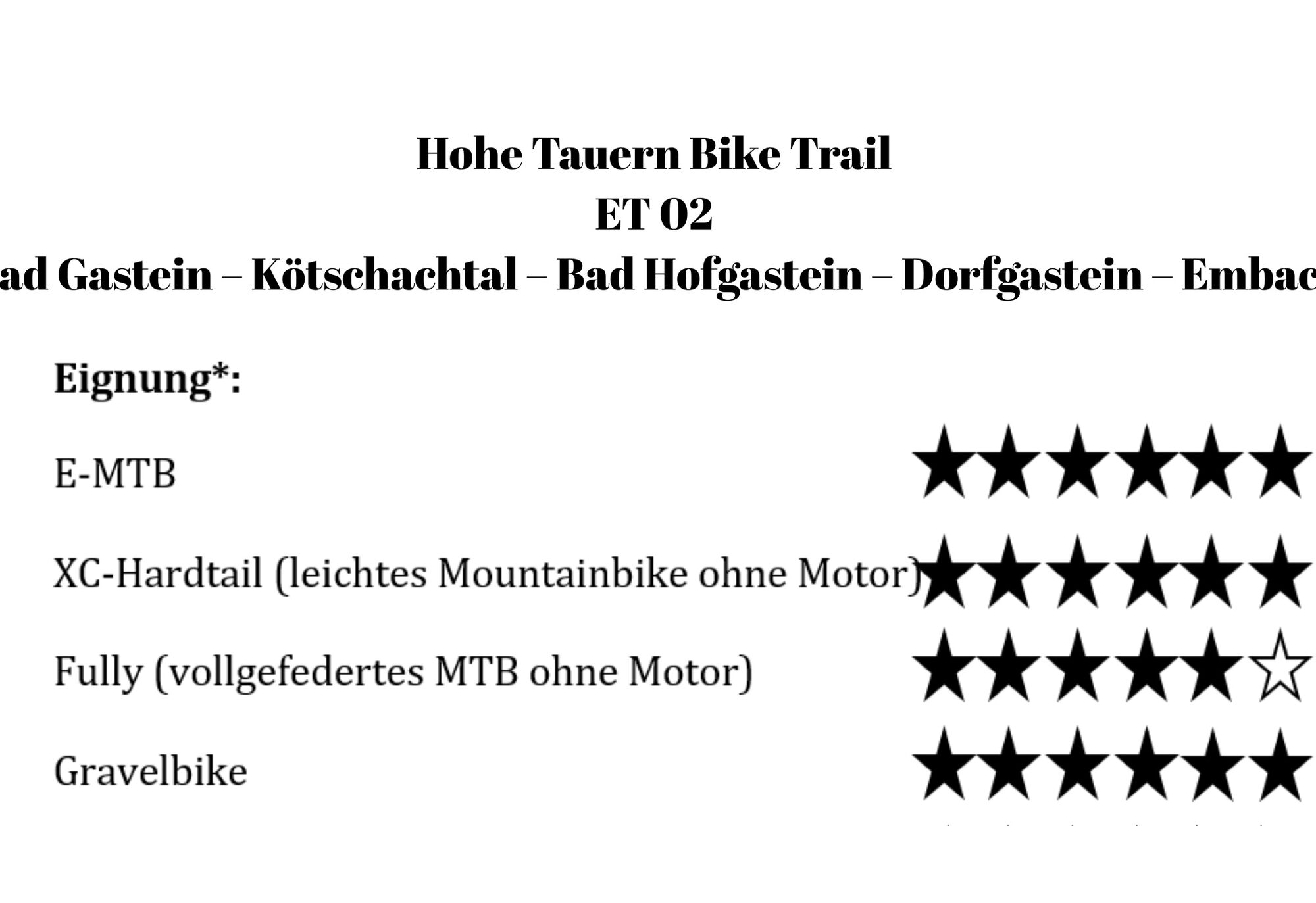
Hohe Tauern Bike Trail | ST02 Bad Gastein | Kötschachtal | Bad Hofgastein | Dorfgastein | Embach
Úroveň obtížnosti: S0
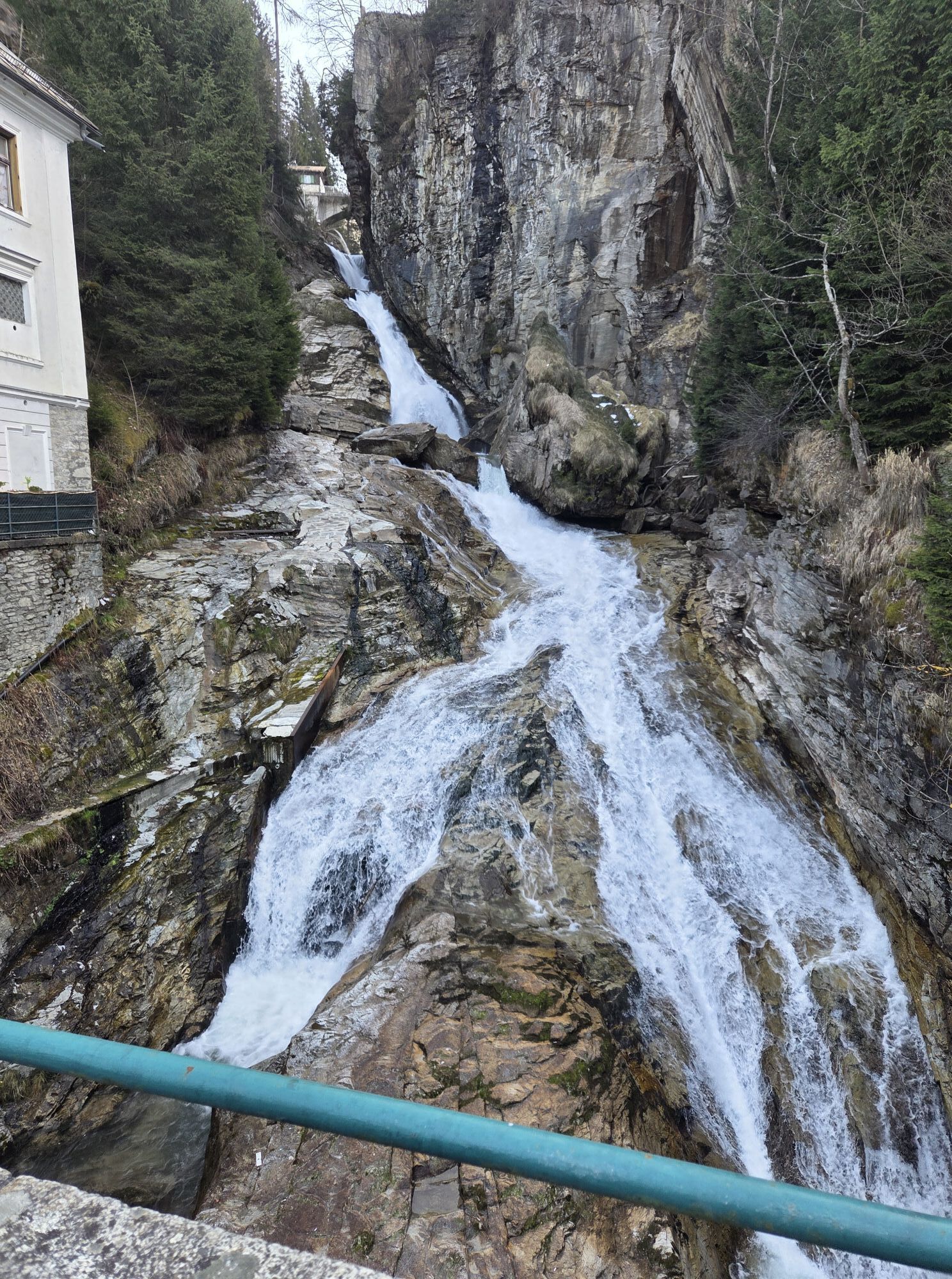
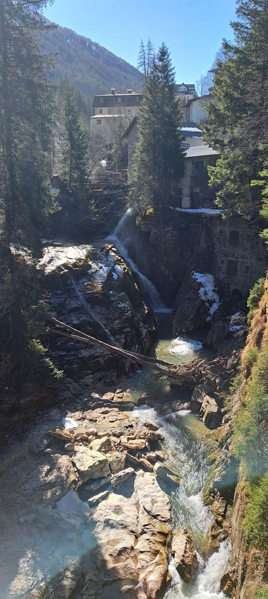
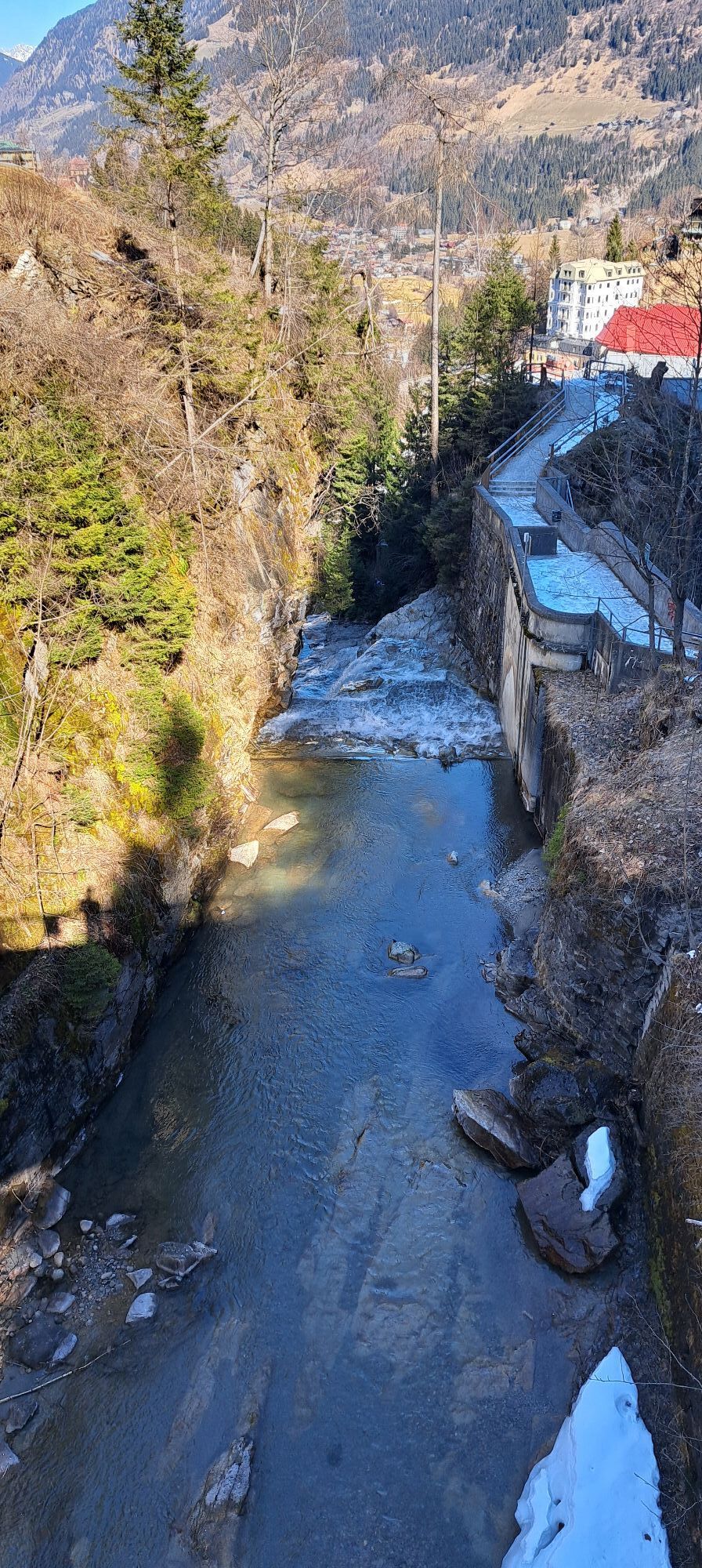
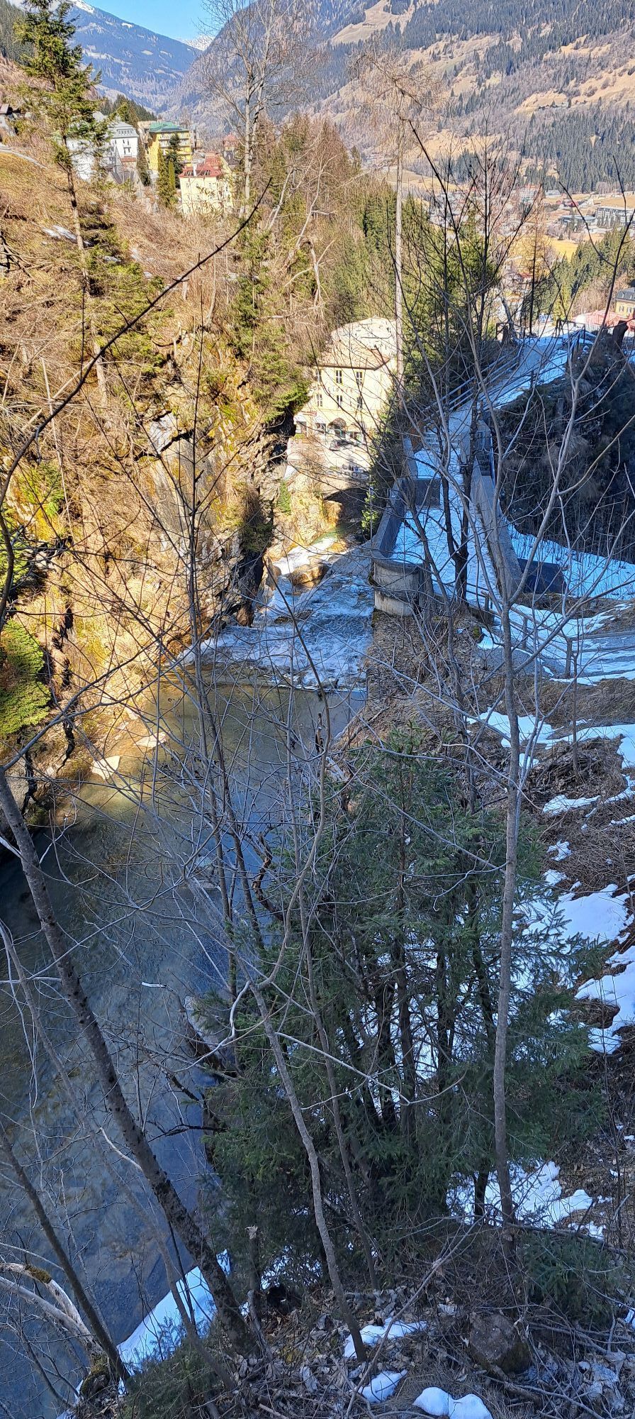
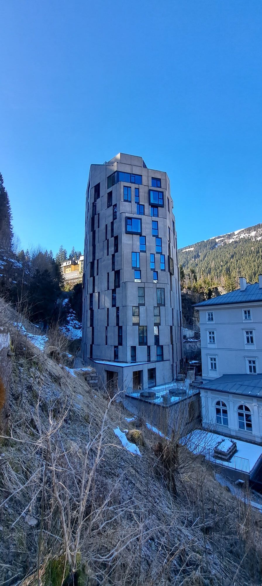
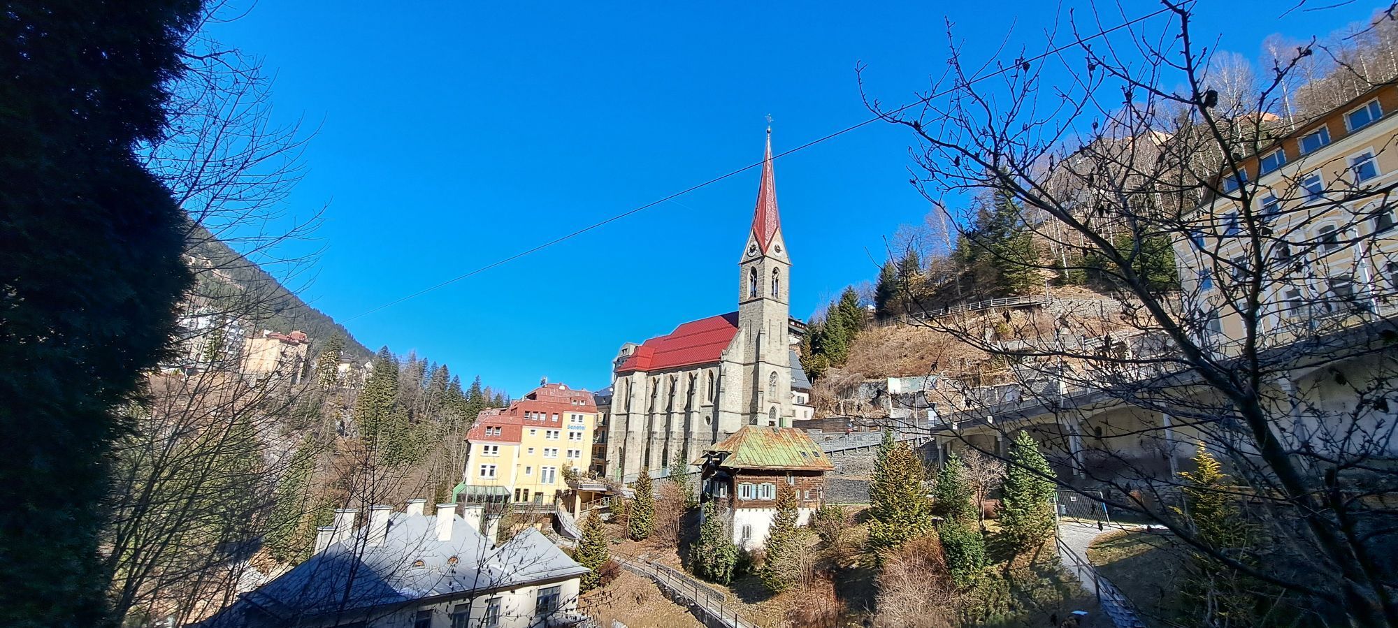
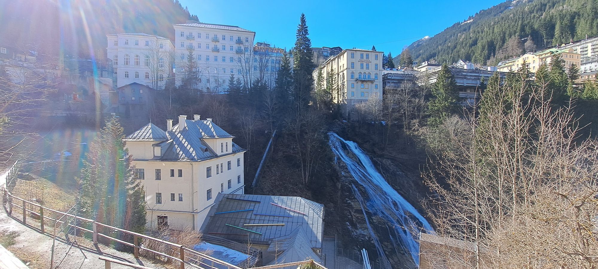
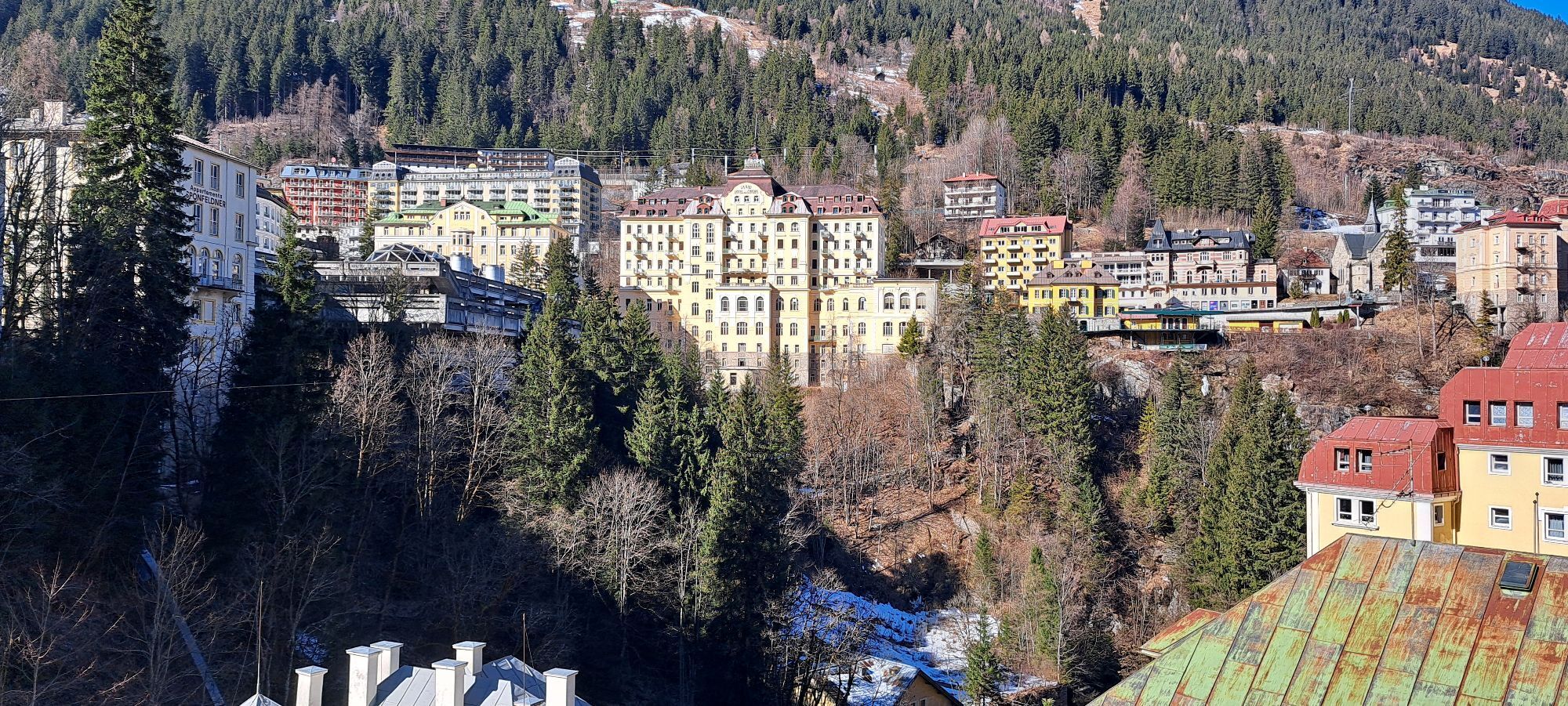
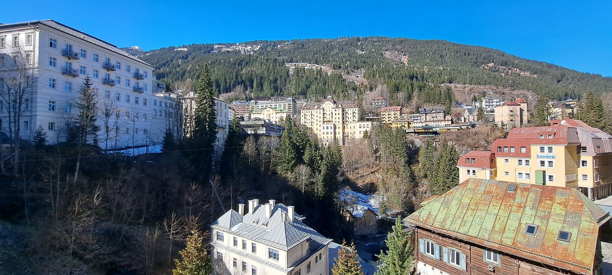
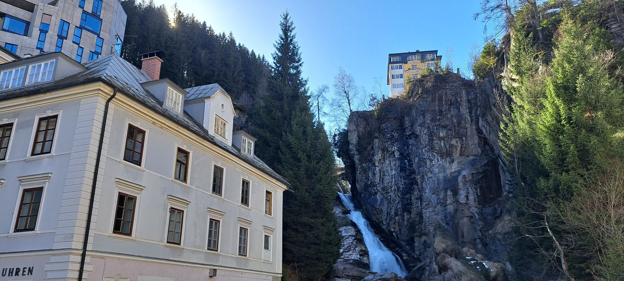
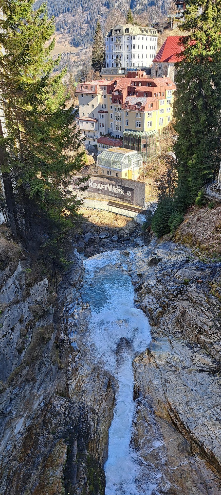
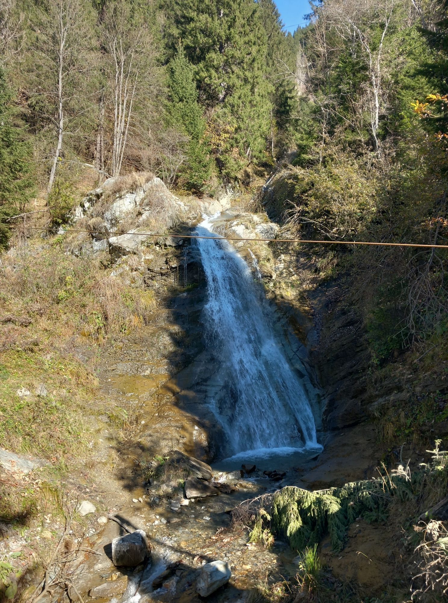
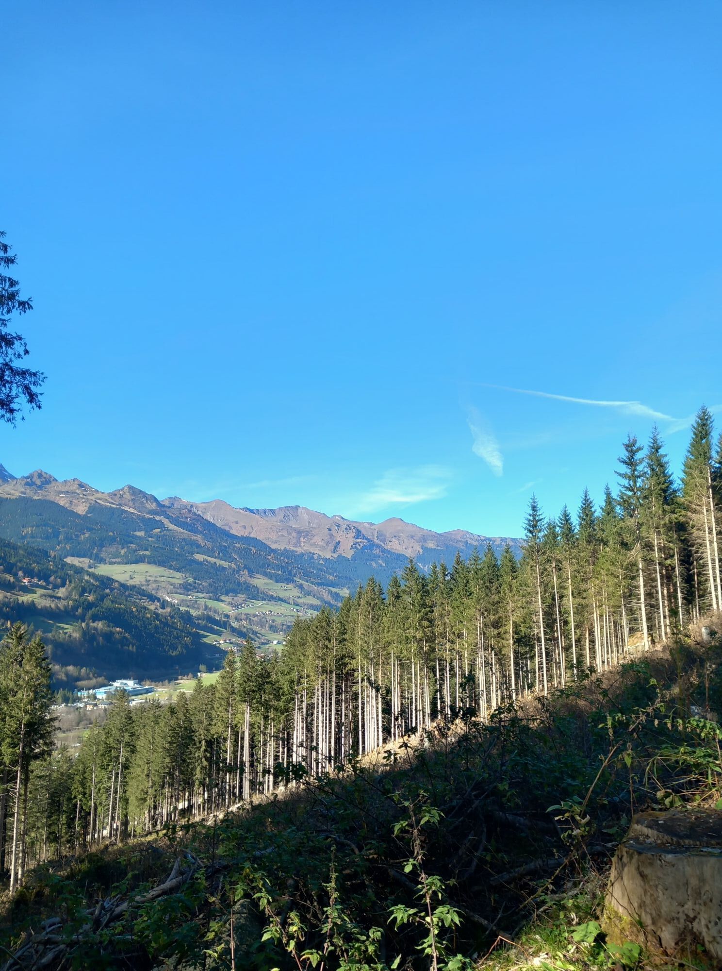
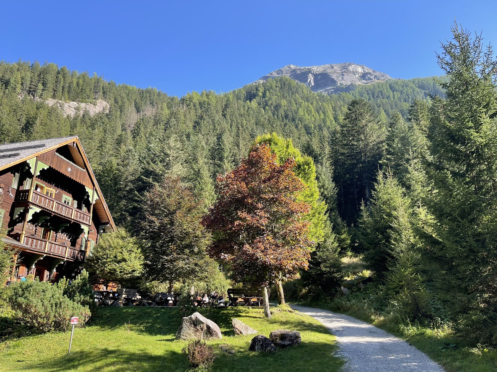
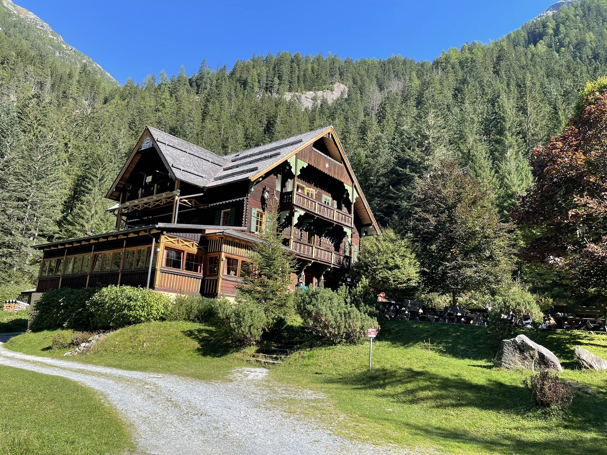
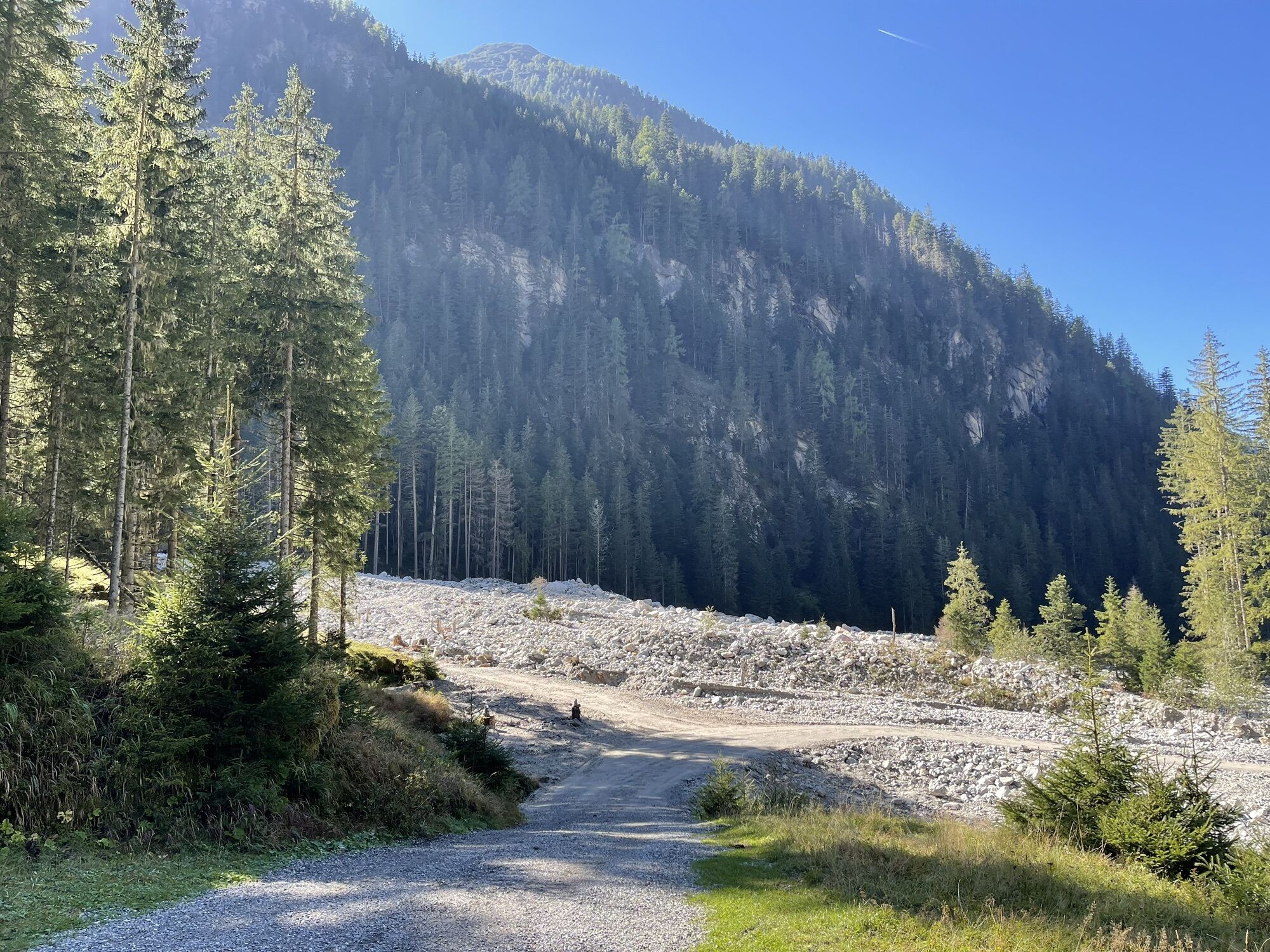
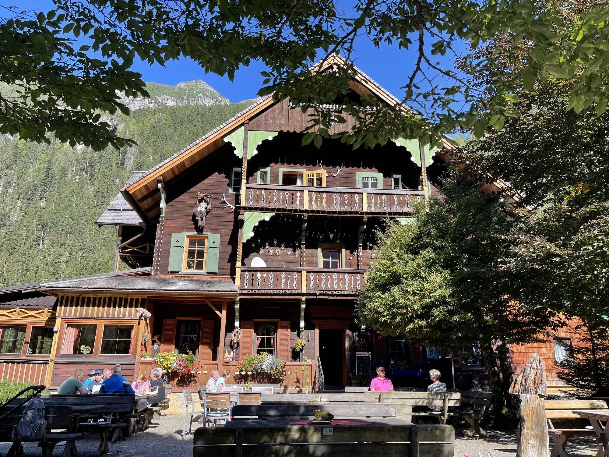
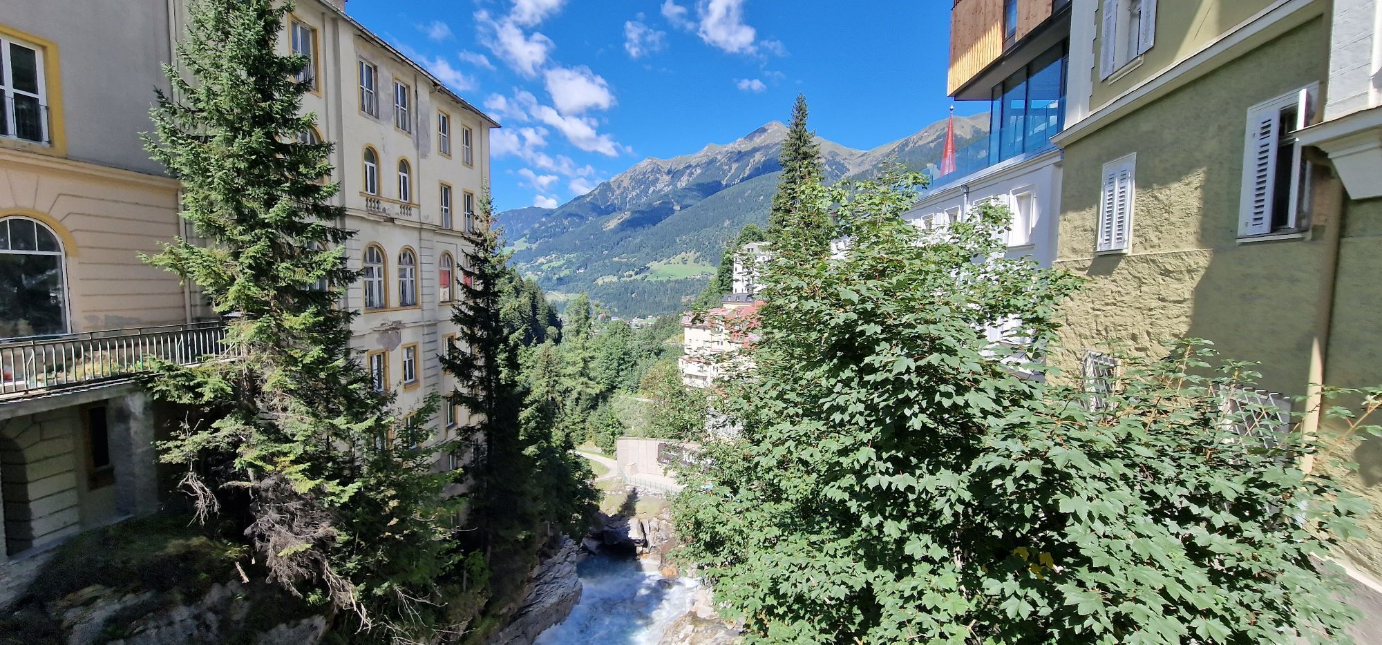
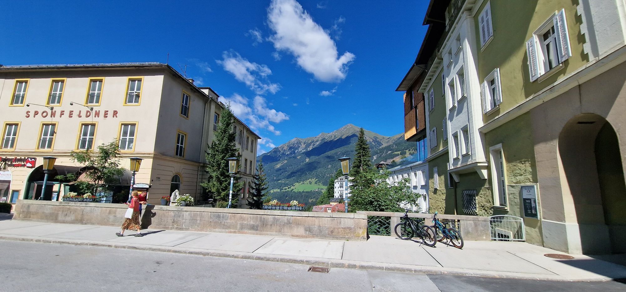
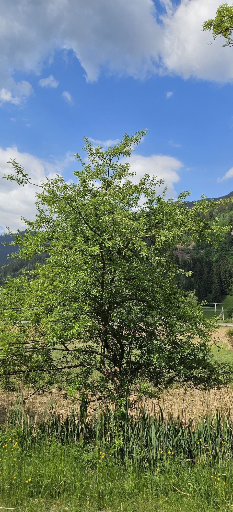
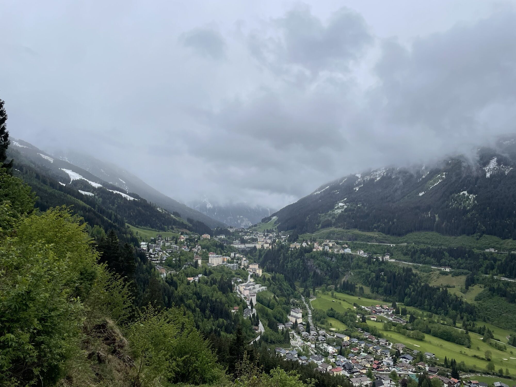
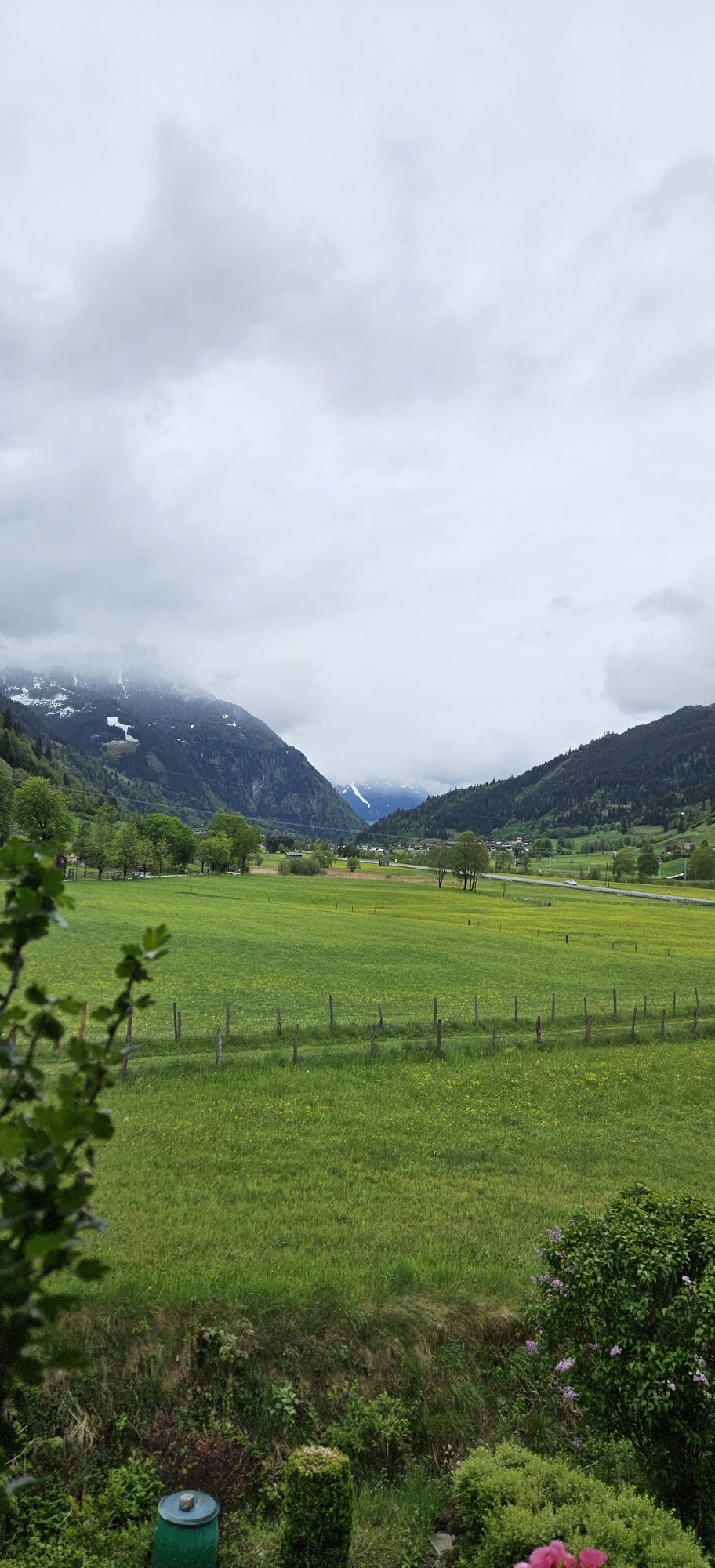
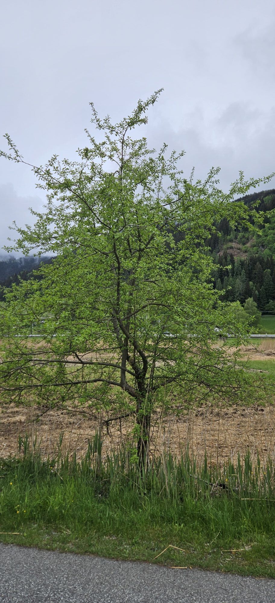
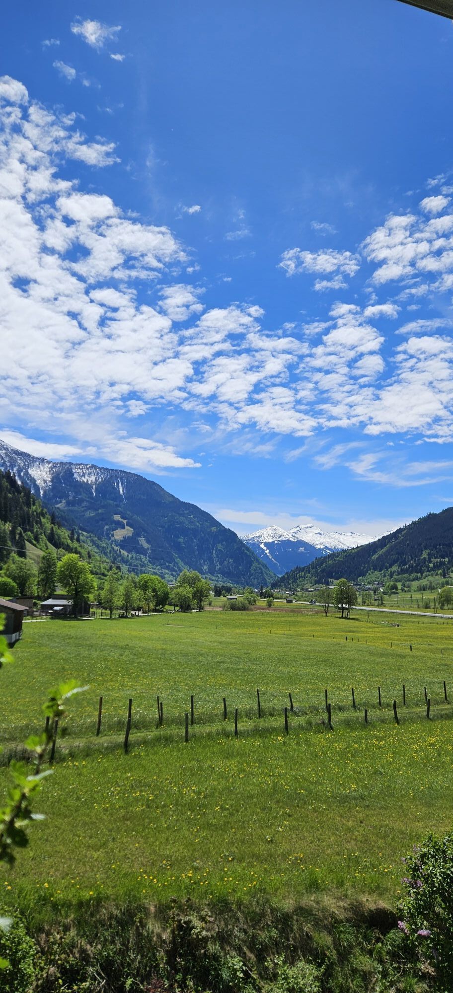
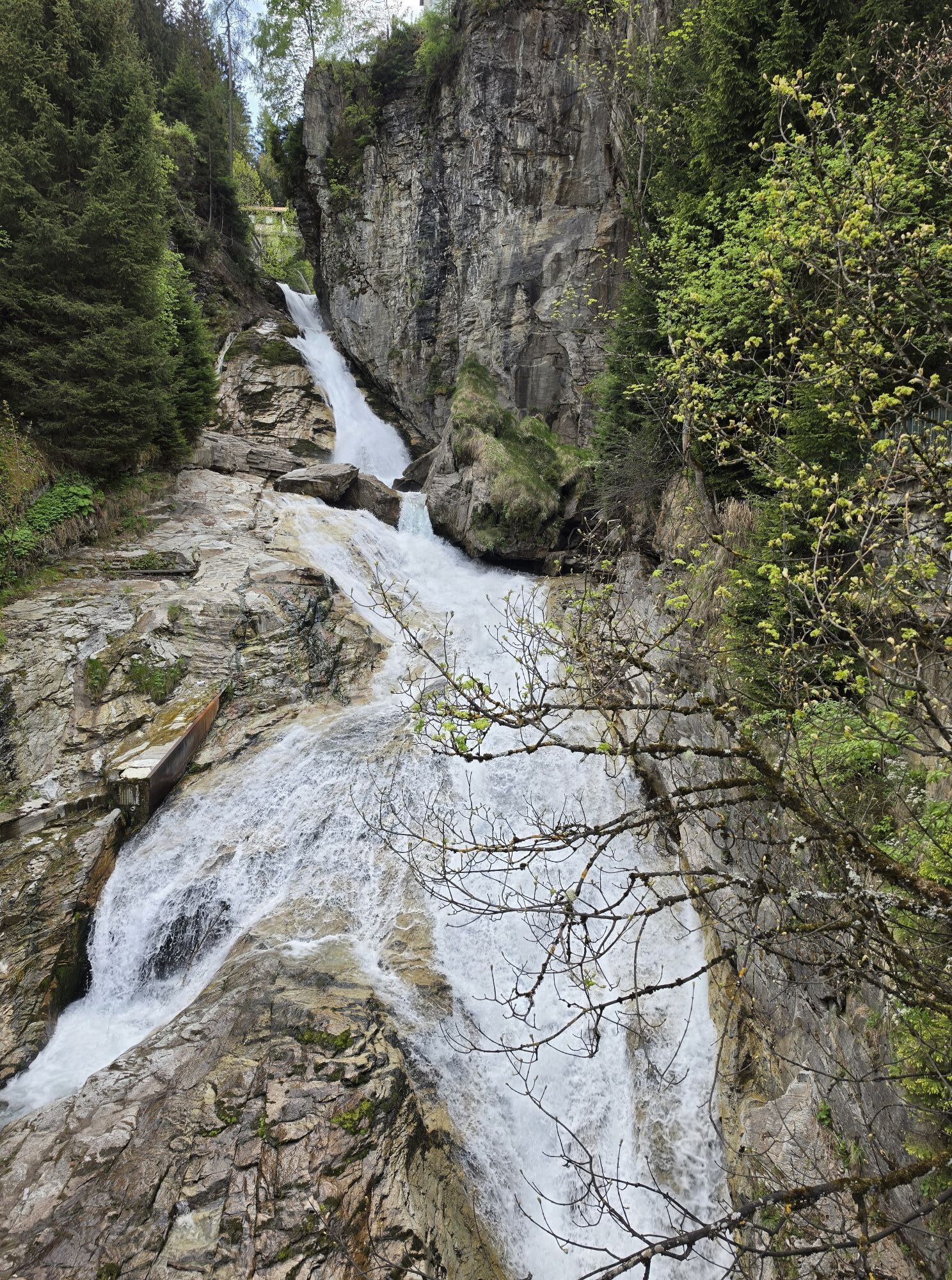
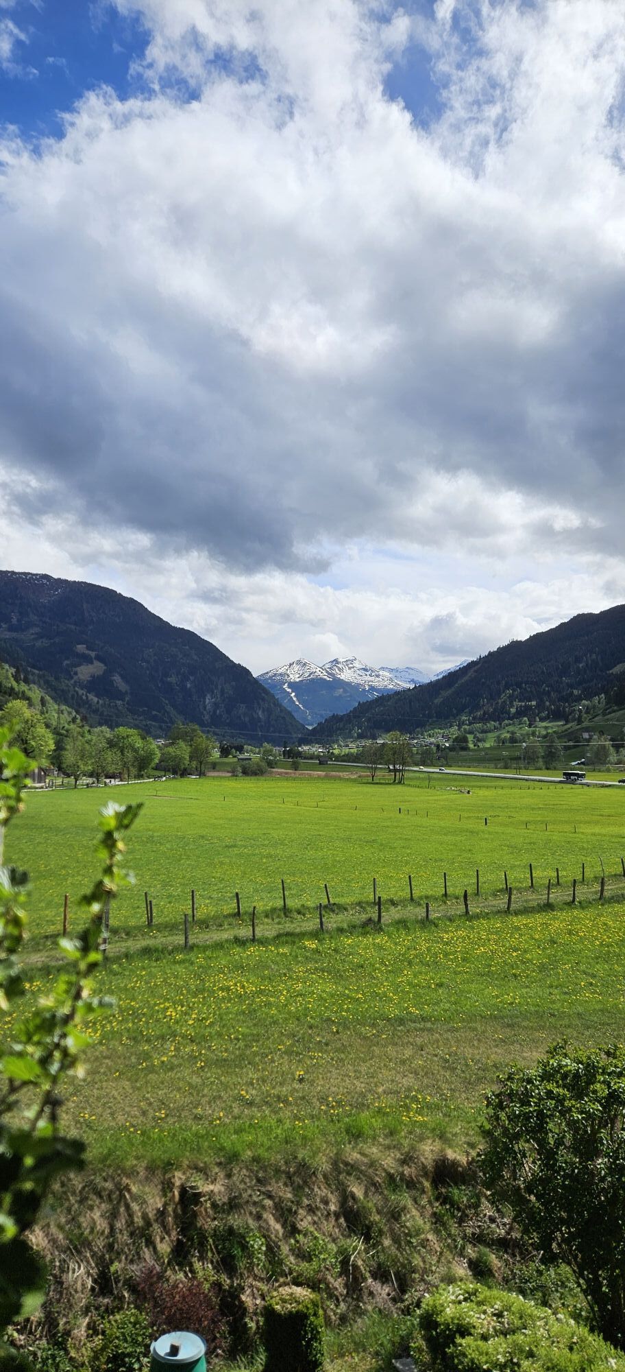
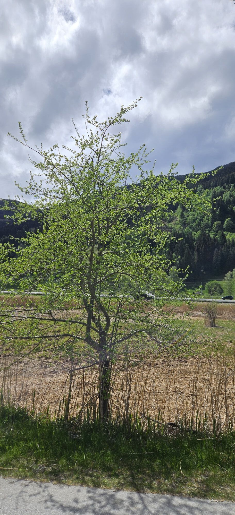
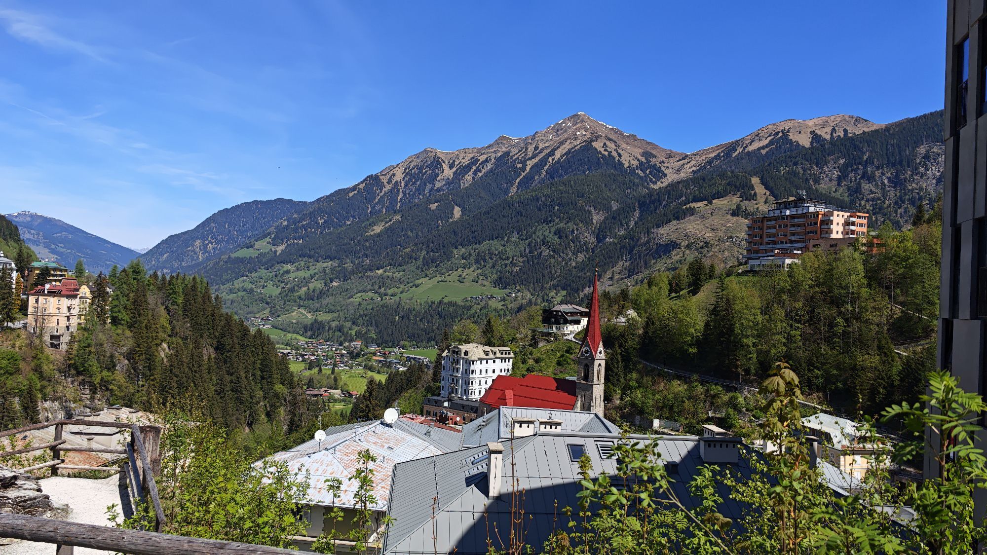
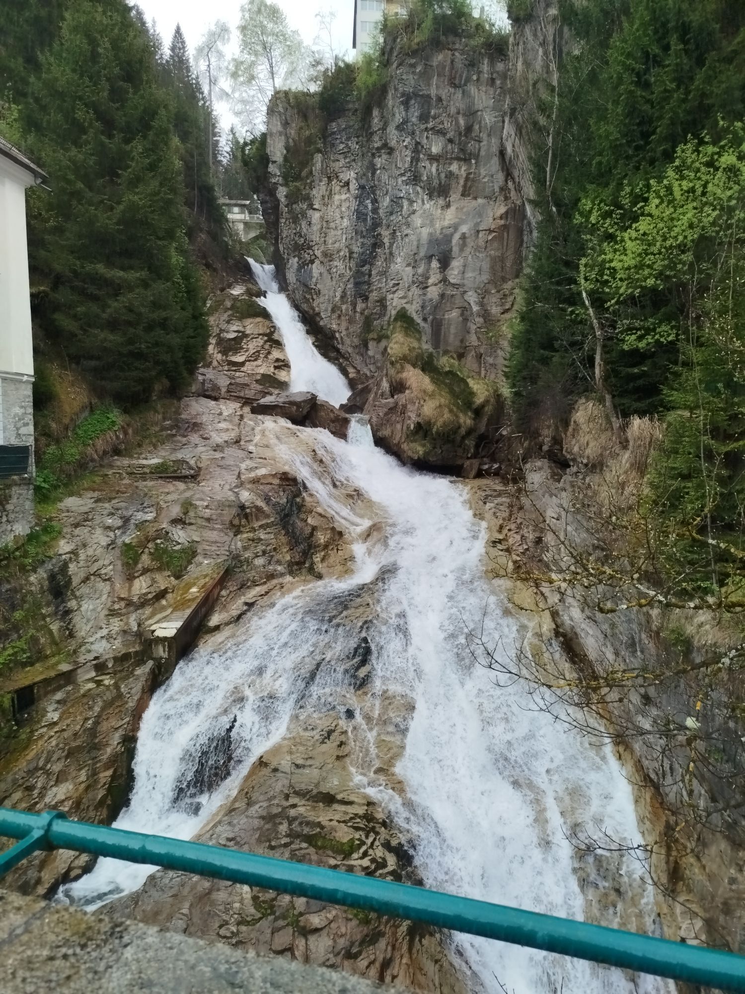
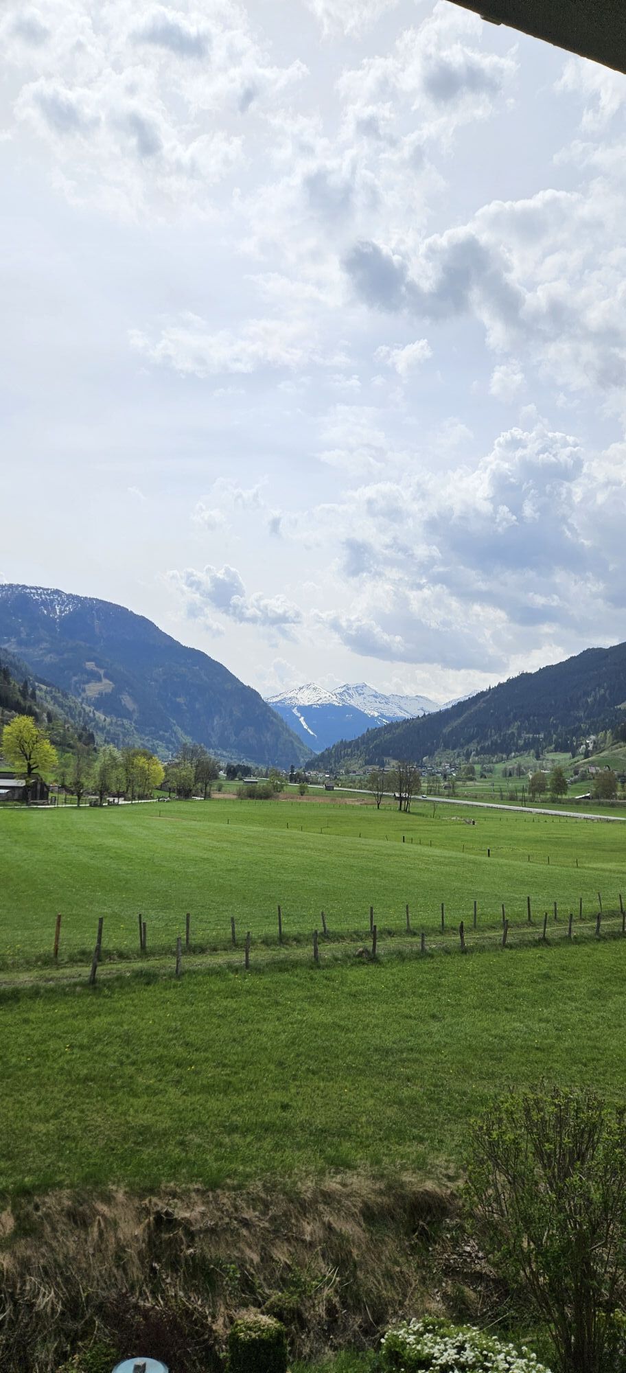
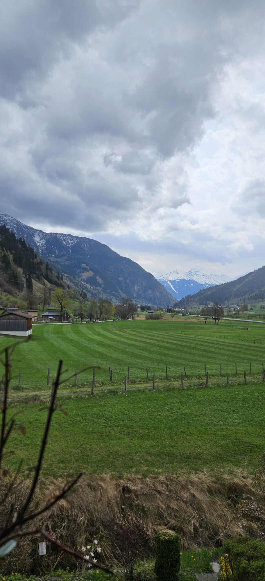
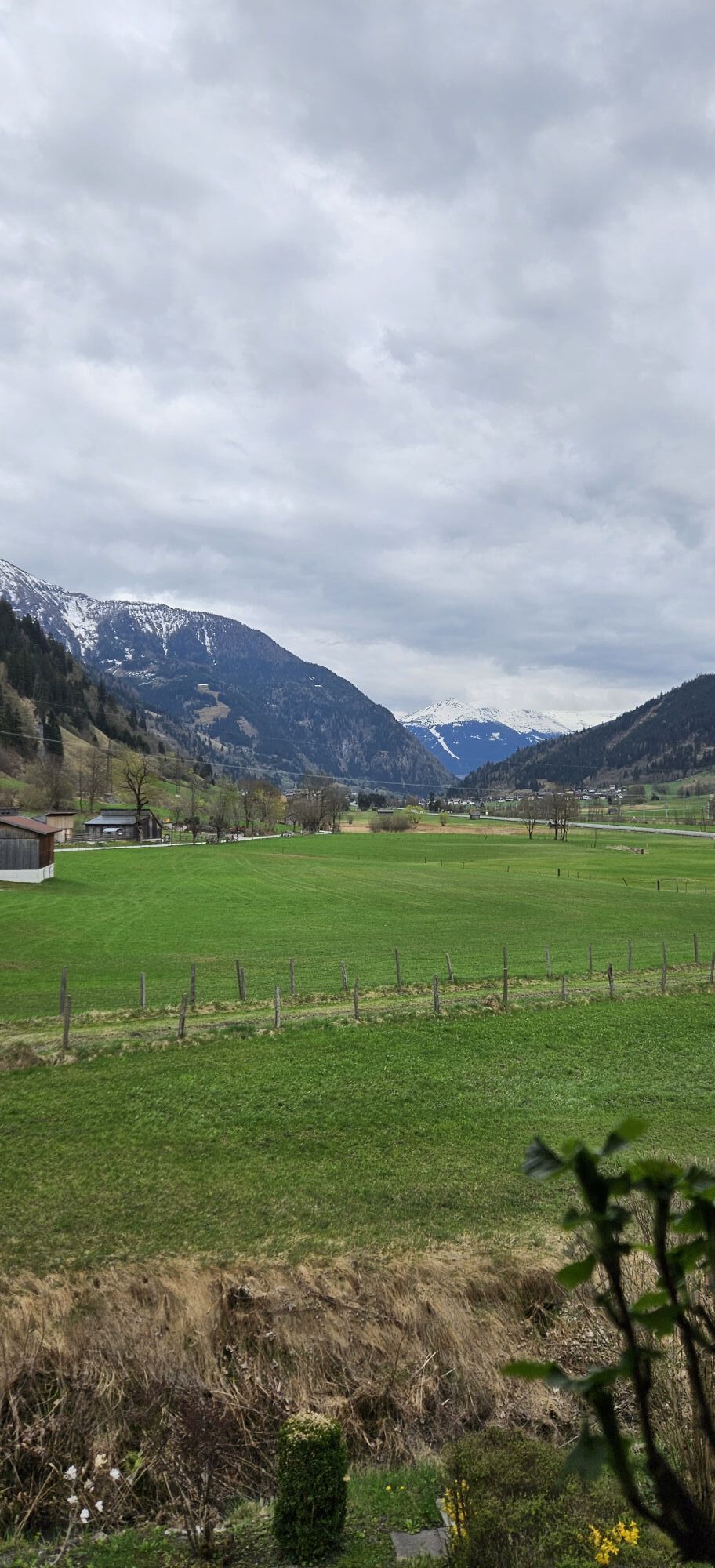
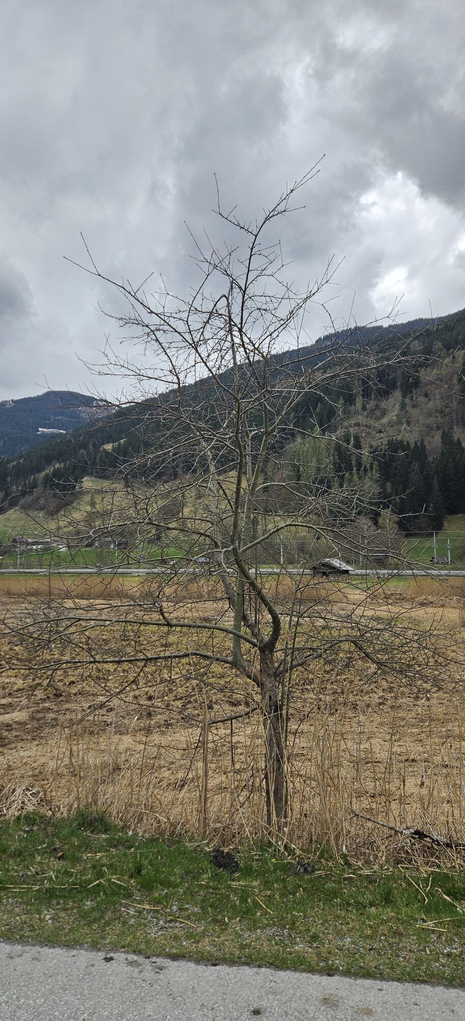
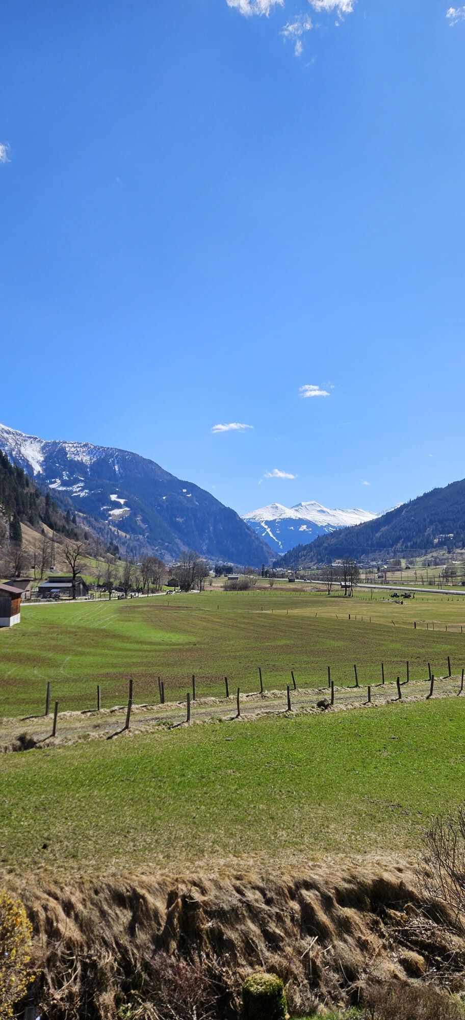
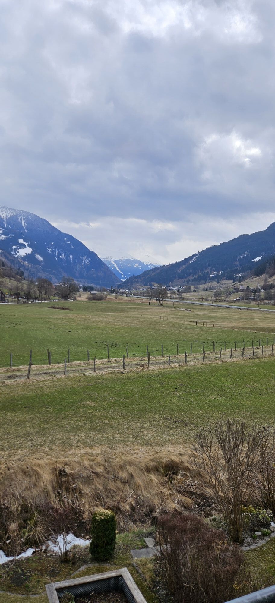
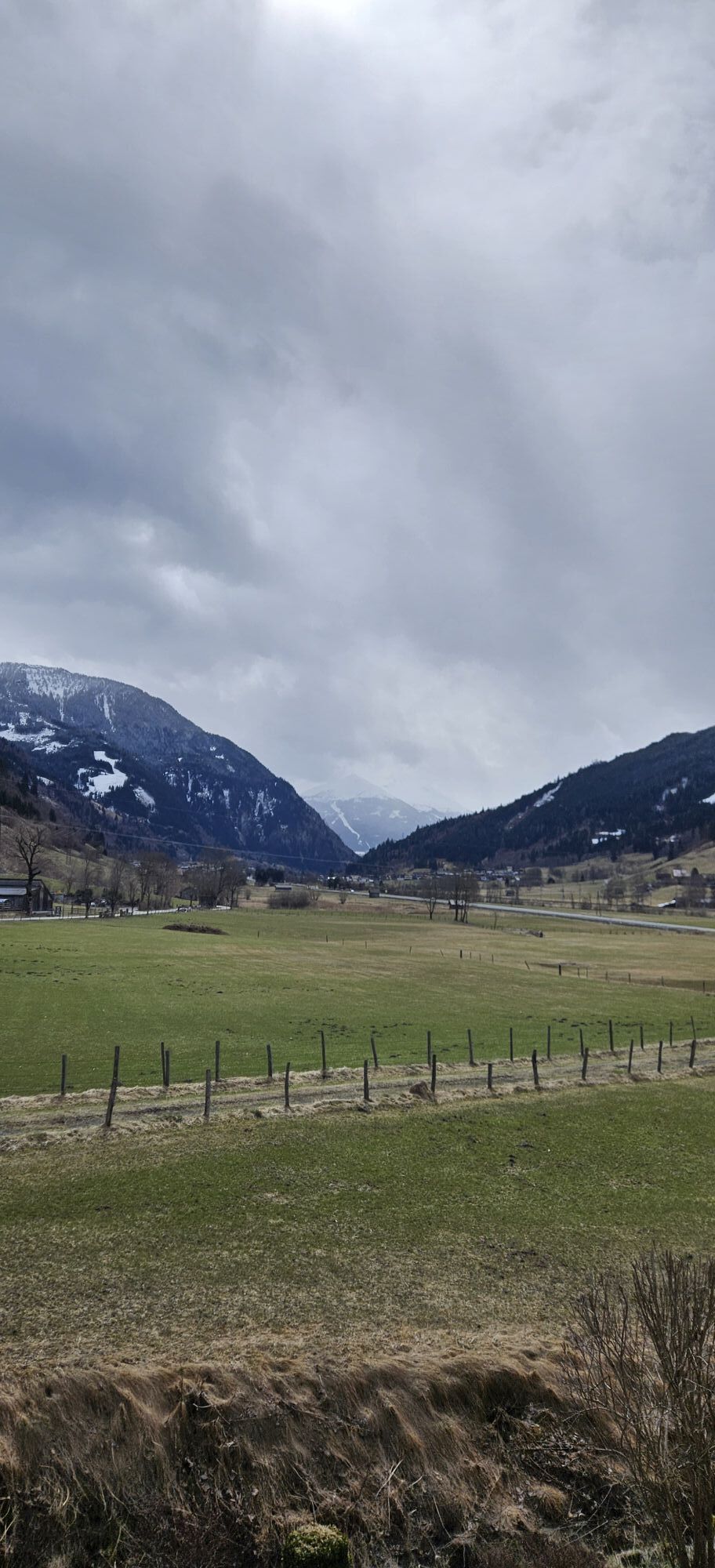
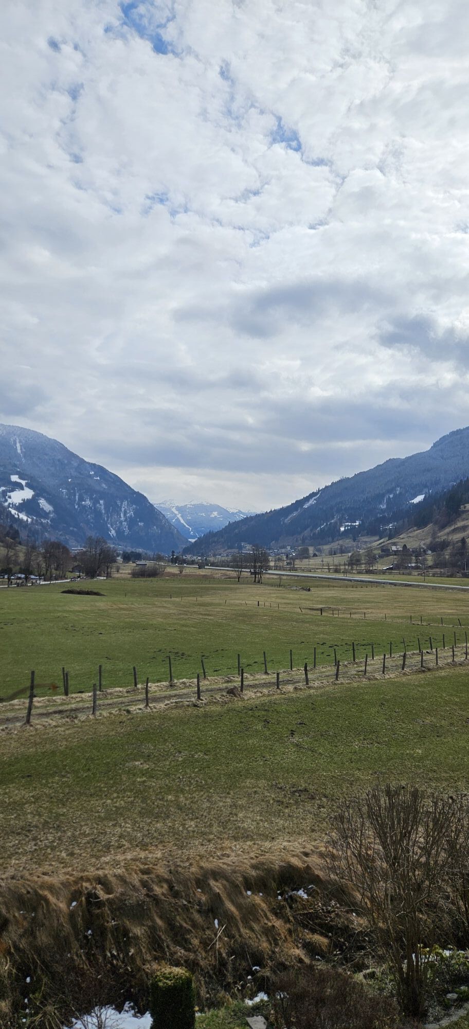
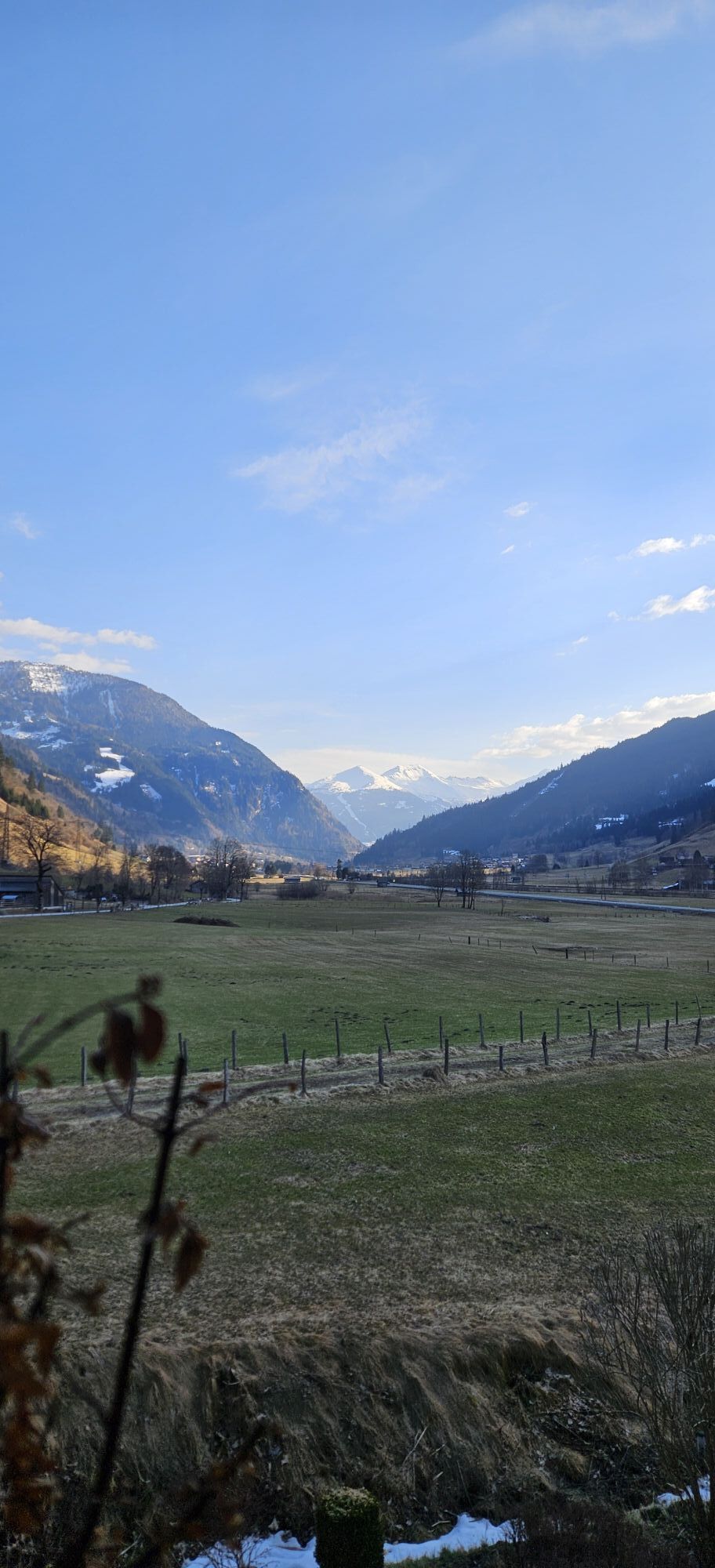
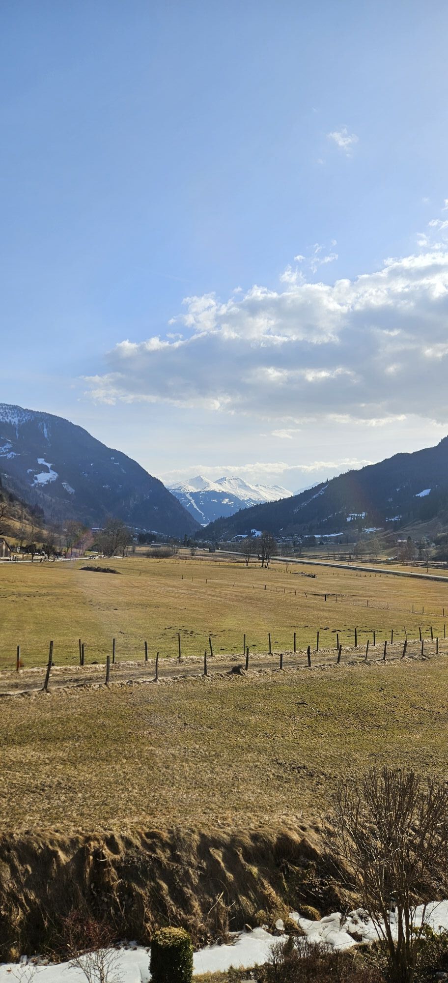
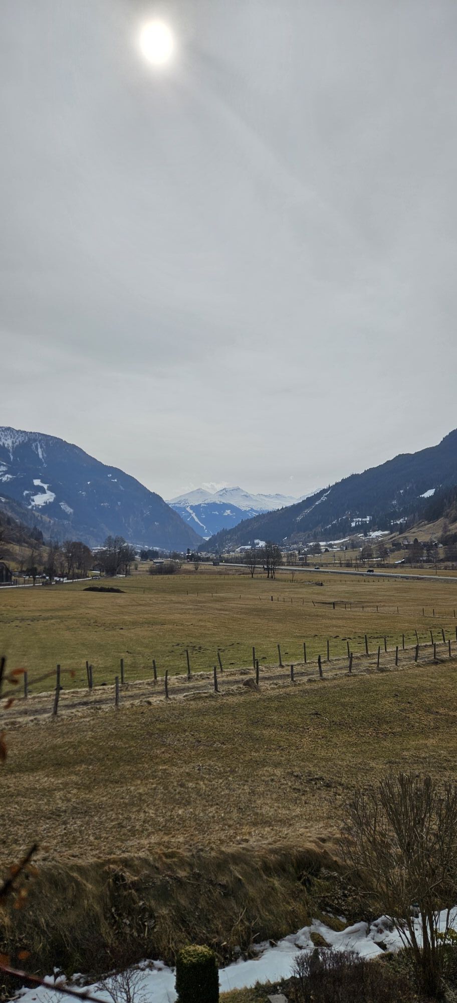
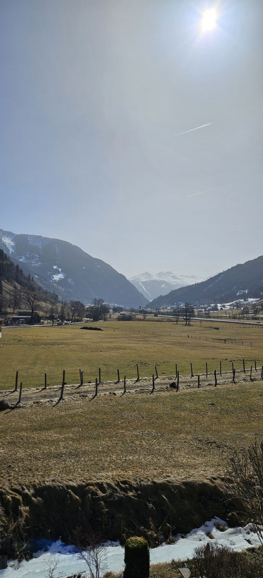
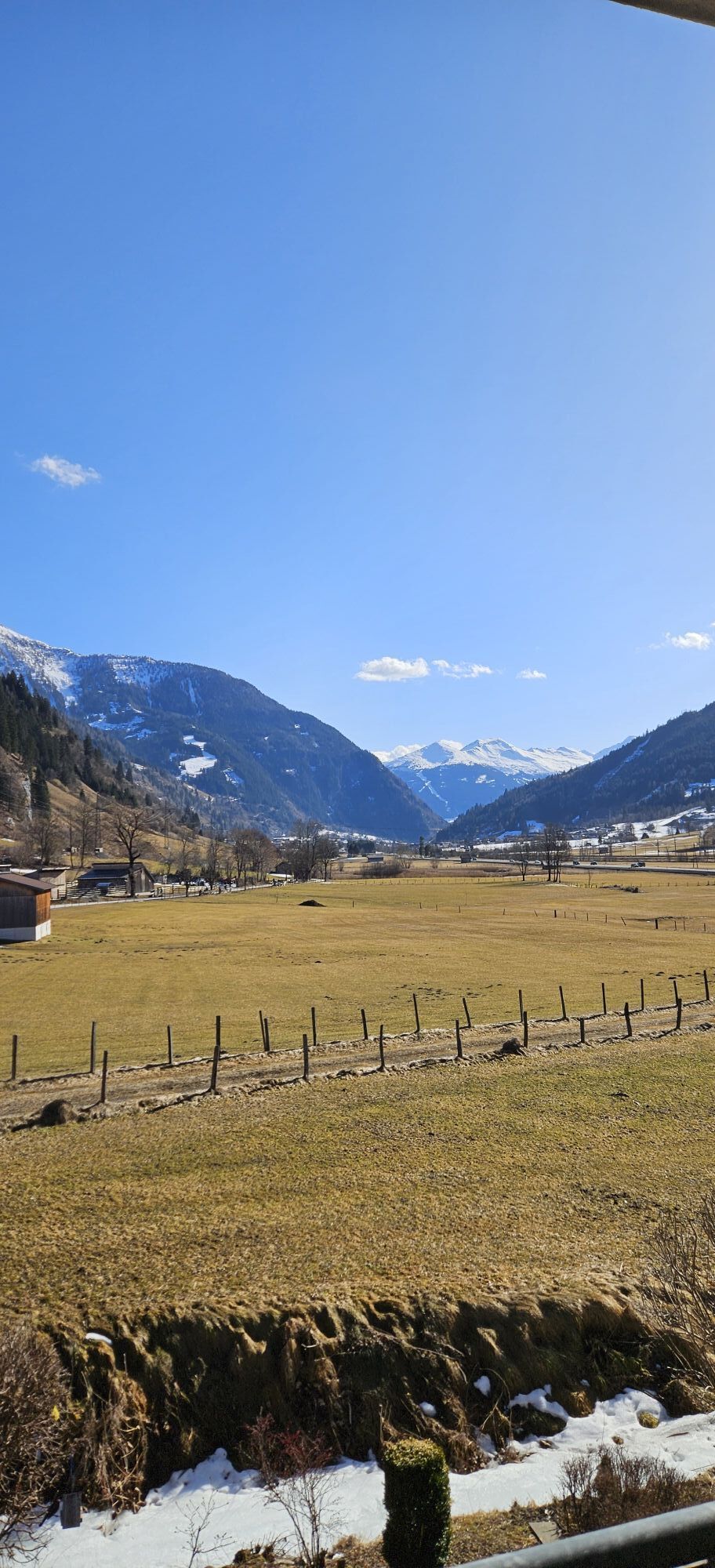
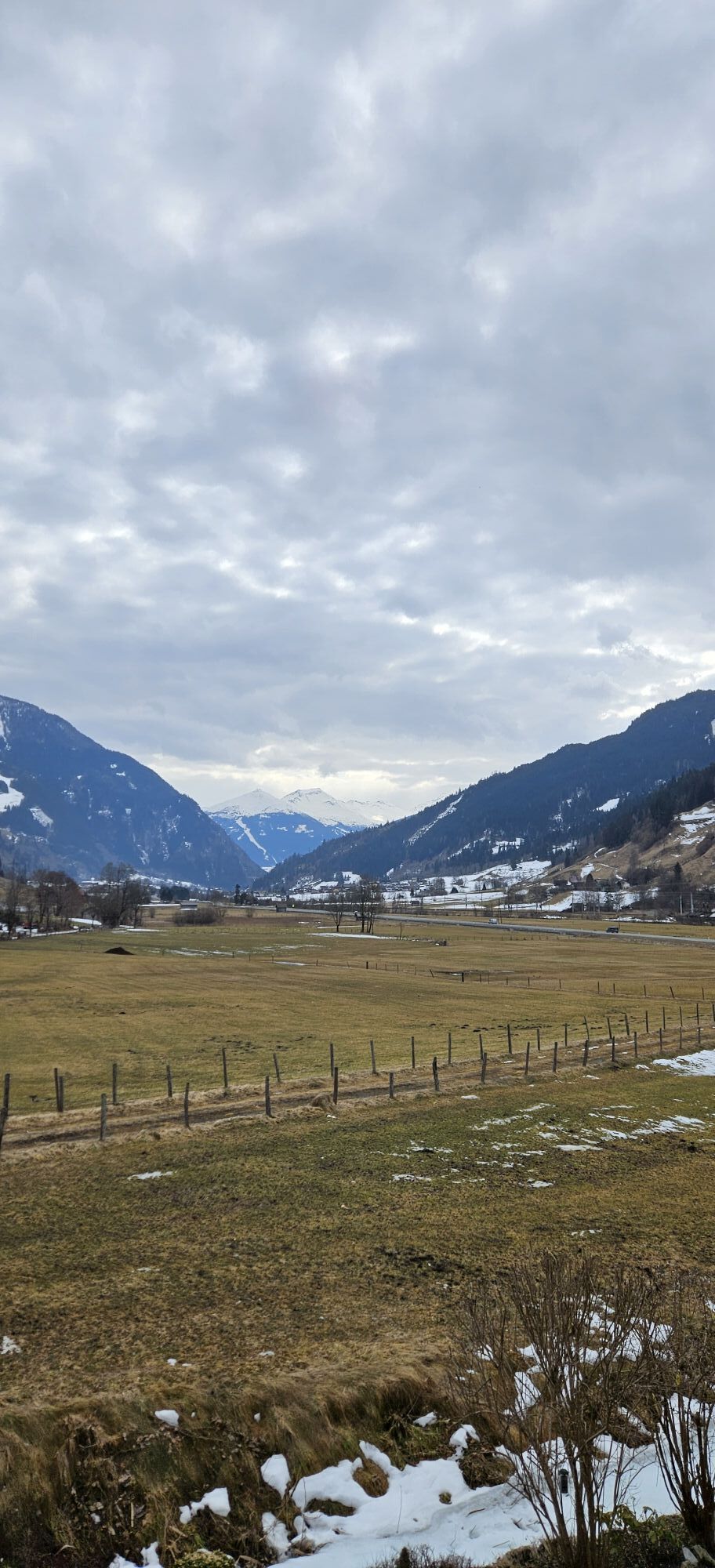
This stage starts in the center of Bad Gastein, directly at the spa and tourism association, and initially leads through the historic town center with a view of the famous waterfall. Upon arriving in the...
-> The stage is exclusively on forest roads and alpine paths as well as paved cycle paths/side roads (except for the ascent to Embach on a state road). Details on the requirements of the Hohe Tauern Bike Trail can be found here >>.
Book your bike trip now on the Hohe Tauern Bike Trail at the info and booking center.

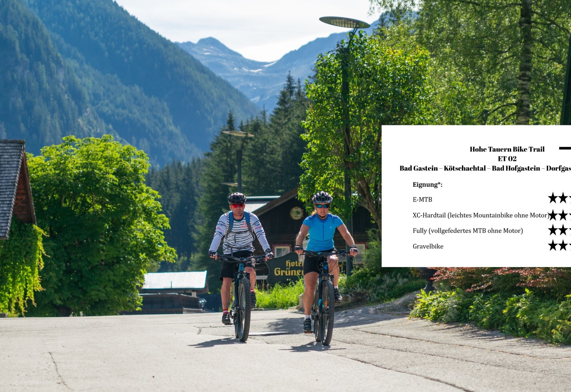
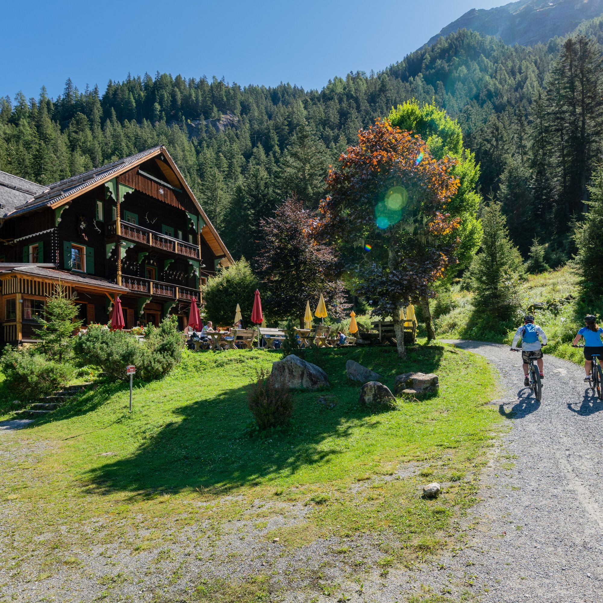

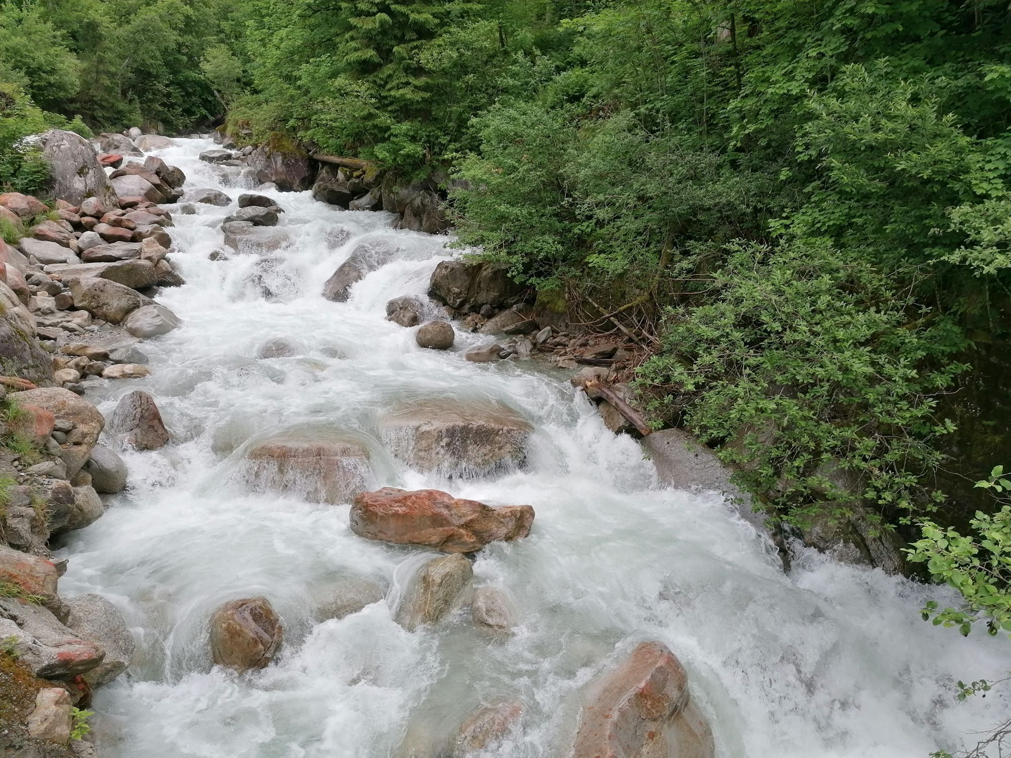
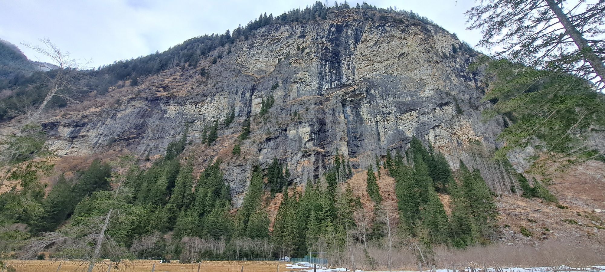
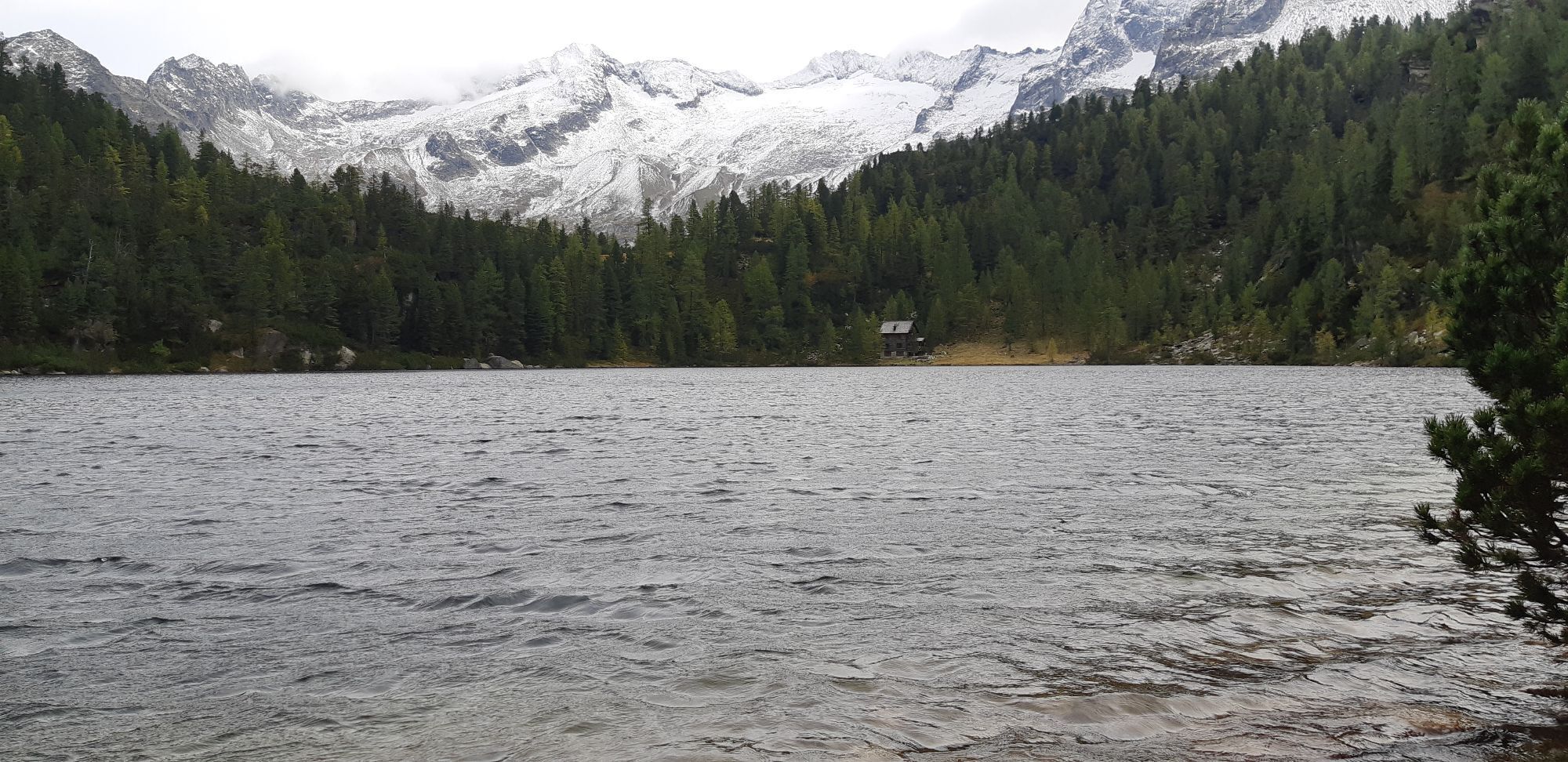
Here begins the well-maintained forest road towards Prossau. The path steadily climbs through dense mountain forests, accompanied by the rustling of the Kötschachbach. Shortly before the valley end, the route climbs a bit steeper again but remains technically easy to manage. The wild romantic landscape with its moss-covered stones, old larches, and the proximity to the impressive Himmelwand makes this section a real natural experience.
Upon arrival at Prossau, you will find a particularly idyllic spot to rest. Those with time and leisure can hike a short distance further to the back of Prossau – with an open view of the glaciers of the Ankogel, right in the National Park Hohe Tauern (details see author’s tip „Bike & Hike possibility“).
After the rest, you roll back on the same route and enjoy the gentle descent to the hotel village „Grüner Baum“. Immediately after, you leave the already known route and turn right onto a smaller street that leads downhill and soon crosses the Kötschachbach. Shortly after, at a fork, follow the right road towards Gasthof Gamskar. After about 600 m, a small street sharply turns left downhill over the Radern, which leads you to the district Bad Bruck and the valley floor of the Gasteiner Valley.
From there, it continues on the right valley side of the Gasteiner Valley downstream on small, hardly frequented village roads – past the quiet districts Remsach and Gadaunern, nestled in the lovely landscape of the Gastein Valley. Orchards, lush meadows, and well-kept farms line the path that leads you directly to the center of Bad Hofgastein.
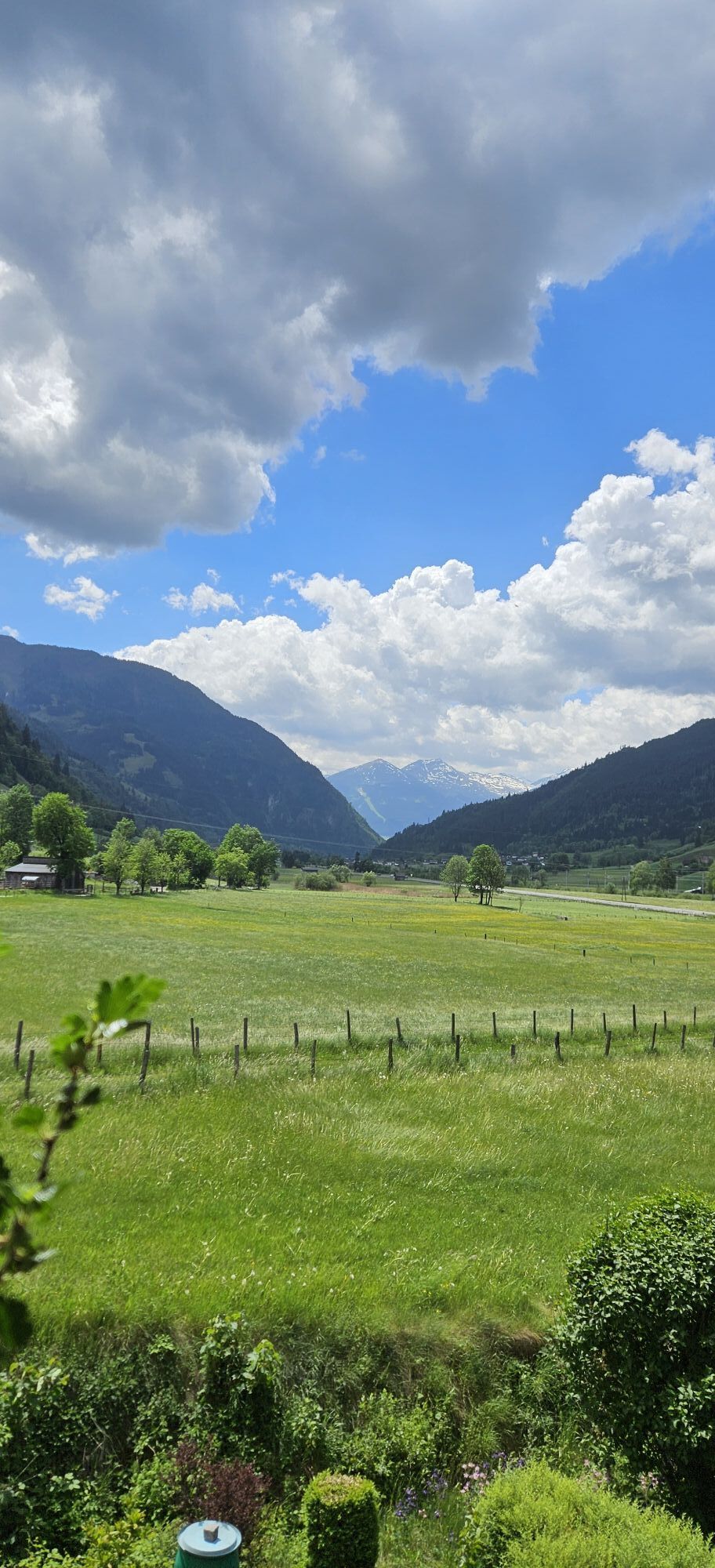
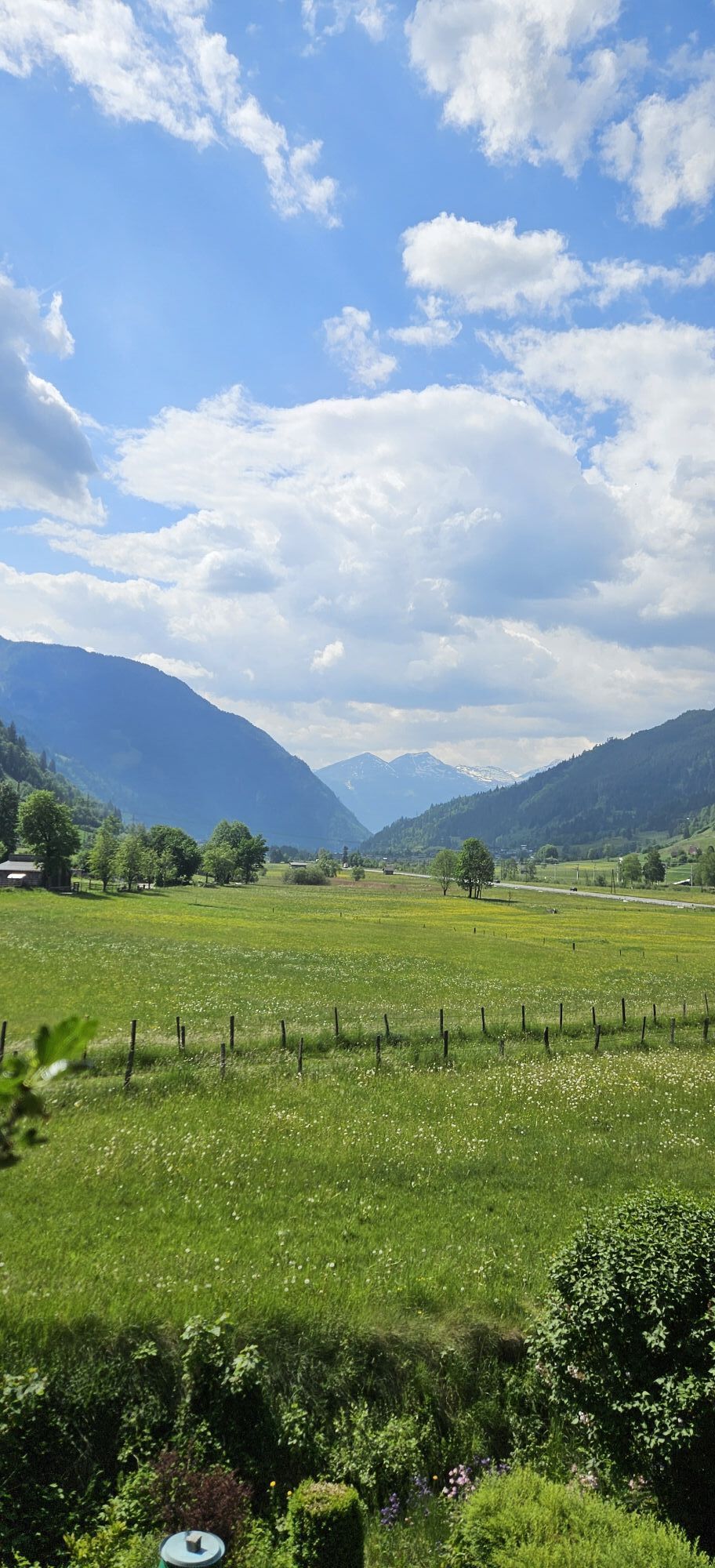
There you switch to the well-signposted Gasteinertal cycle path. This section runs almost flat on paved paths and takes you through open valley landscape to Dorfgastein. The charming village invites you to a pleasant break with cozy cafes and inns.
From Dorfgastein, the Gasteinertal cycle path continues downstream towards Lend. You follow the gently descending course to Klammstein, where the route passes through three well-developed, illuminated tunnels with cycle paths – a special experience that also marks the transition to the Salzach Valley at Lend. Immediately after the tunnels, you meet the Tauern cycle path running through the Salzach Valley, go under the federal road running through the Salzach Valley, and follow the Tauern cycle path to the left (west) through the village Lend directly in the valley floor of the Salzach Valley. Shortly after, you meet the crosswise state road between Dienten and Embach. You cycle it briefly straight and then left over the Salzach Valley federal road towards Embach.
The final section demands your stamina again: on the partly quite steep but not heavily trafficked state road, the route winds up to Embach. Upon reaching the sunny high plateau, an impressive panoramic view awaits you – a worthy conclusion to a versatile stage full of landscape contrasts, cultural impressions, and genuine Gasteiner hospitality.
Charging stations along the stage:
E-charging stations Gastein Valley >>
Recommended Equipment >>
Be careful when descending from Prossau – grippy gravel, but partly steeper in the Grüner Baum to Badbruck area.
Coming from Taxenbach or Schwarzach im Pongau via B311 and B167 to the spa and tourism association Bad Gastein.
From Taxenbach/Rauris by train: 921 towards Vienna West Station to the exit stop Schwarzach-St.Veit. Then by regional bus 550 towards Sportgastein Goldbergbahn to the exit stop Bad Hofgastein bus terminal/Schlossalmbahn. Afterwards by bike to the spa and tourism association Bad Gastein.
To the long-term parking spaces on the Hohe Tauern Bike Trail>>
S0
Hohe Tauern National Park Holiday Region
Gerlosstraße 18, 5730 Mittersill, Austria
Tel. +43 6562 40939 E-Mail: hohetauerntrail@nationalpark.at
Booking Center & Info-Hotline Trail Angels GmbH
9821 Obervellach 15, Austria
Tel. +43 4782 93093 E-Mail: info@bookyourtrail.com
Webové kamery z prohlídky
Kreuzkogel
Fulseck
Haitzingalm
Bad Gastein - Golfplatz
Dorfgastein - Spiegelsee
Bad Hofgastein - Schloßalm
Bergstation 6er Sesselbahn Harbach
Gästehaus Hagenhofer - Dorfgastein
Bad Hofgastein - Akzent Hotel Germania
Bad Gastein - Hotel Schillerhof
Skizentrum Angertal
Schlossalm - Weitmoser
Jungerstube / Stubnerkogel
Kühhagerbahn Bergstation
Golfplatz Goldegg
Golfplatz Goldegg
Dorfgastein - Spiegelsee
Dorfgastein - Spiegelsee
Dorfgastein - Spiegelsee
Dorfgastein - Spiegelsee
Stubnerkogel Bergstation Südseite
Graukogel Bergstation
Schlossalm Funslope
Bad Gastein
Bad Gasteiner Wasserfall
Haitzingalm
Dorfgastein - Bergl
Embach
Bergstation Kieserl
Fulseck
Fulseck
Fulseck
Fulseck
Fulseck
Fulseck
Fulseck
Získejte přehled Vždy živě na místě s více než 9 500 webkamerami. bergfex Jako uživatel Pro si nyní můžete zobrazit odpovídající webové kamery pro mnoho prohlídek v aplikaci prohlídky z. Můžete si tak přímo prohlédnout aktuální podmínky. Oblíbené prohlídky v okolí
- 4.9
Großarl: Aualm - Liechtensteinkopf - Aukopf - Schuhflicker - Schuhflickersee
středníTuristika 5.84 km - 5.0
Großarl: Alpine pasture circuit in Ellmautal
středníTuristika 9.69 km - 4.9
Höhenweg vom Grünen Baum bis Bad Hofgastein
světloTuristika 7.92 km - 4.8
Großarl: Mooslehenalm – Niggeltalalm – Viehhausalm
středníTuristika 5.44 km - 4.5
Mountain route from the Kötschachtal to the natural jewel Reedsee
středníTuristika 12.5 km - 4.8
Hüttenkogel - Graukogel von der Bergstation
středníHorská turistika 4.68 km - 4.6
Bahnhof Bad Hofgastein nach Bahnhof Bad Gastein
středníTuristika 13.0 km - 5.0
Silberpfennig, Salzburger Land/Österreich
středníTuristika 13.8 km - 4.5
Großarl: Saukaralm - Saukarkopf - Gerstreitalm
středníTuristika 9.11 km - 4.5
Wasserfall Bad Hofgastein
světloTuristika 3.89 km
Pěší turistika a stopování


Nenechte si ujít nabídky a inspiraci pro vaši příští dovolenou
Vaše e-mailová adresa byl přidán do poštovního seznamu.





