






Bürgerberg-Runde (SW 14)
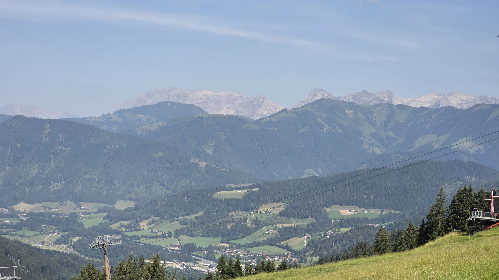
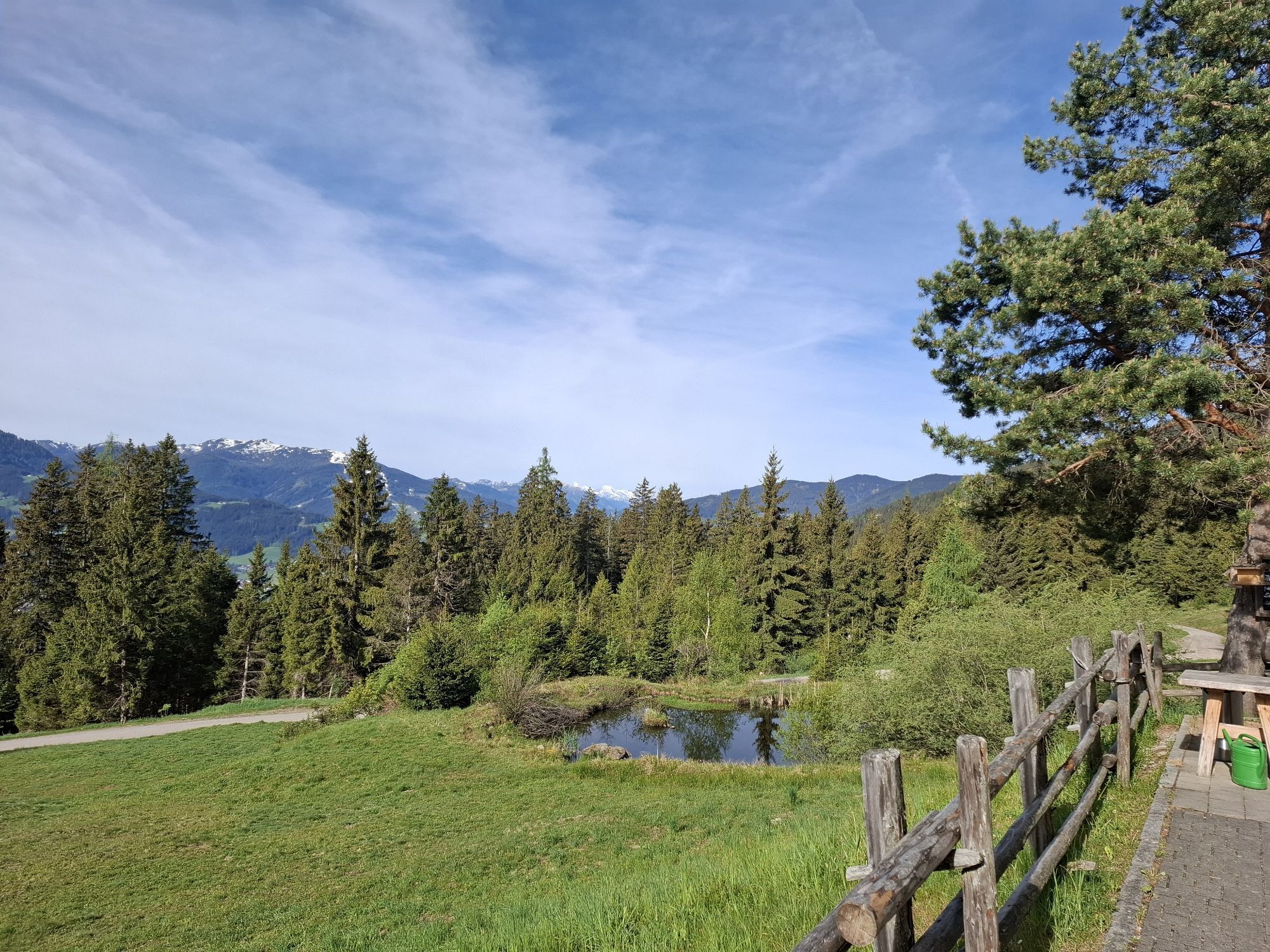
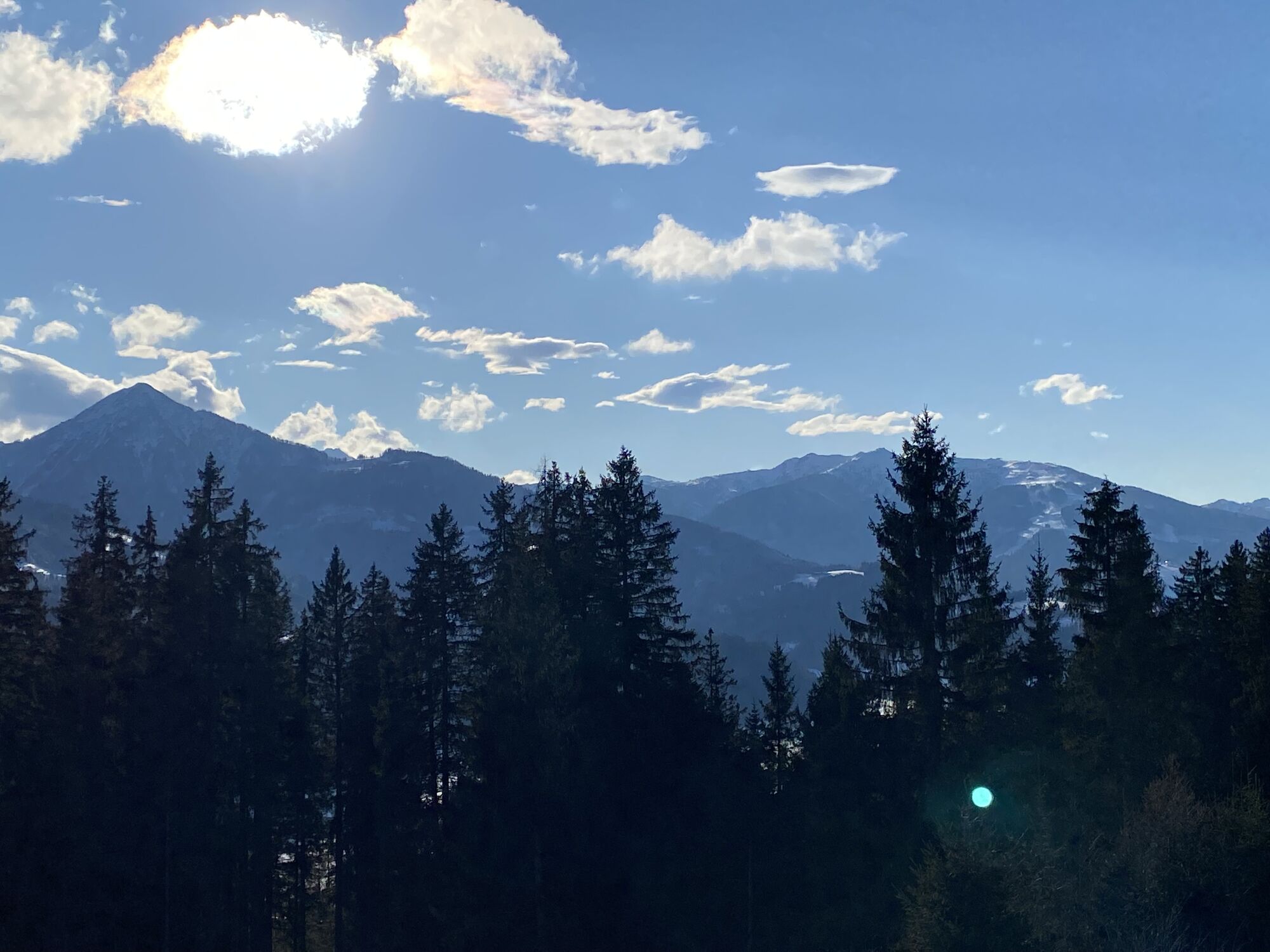
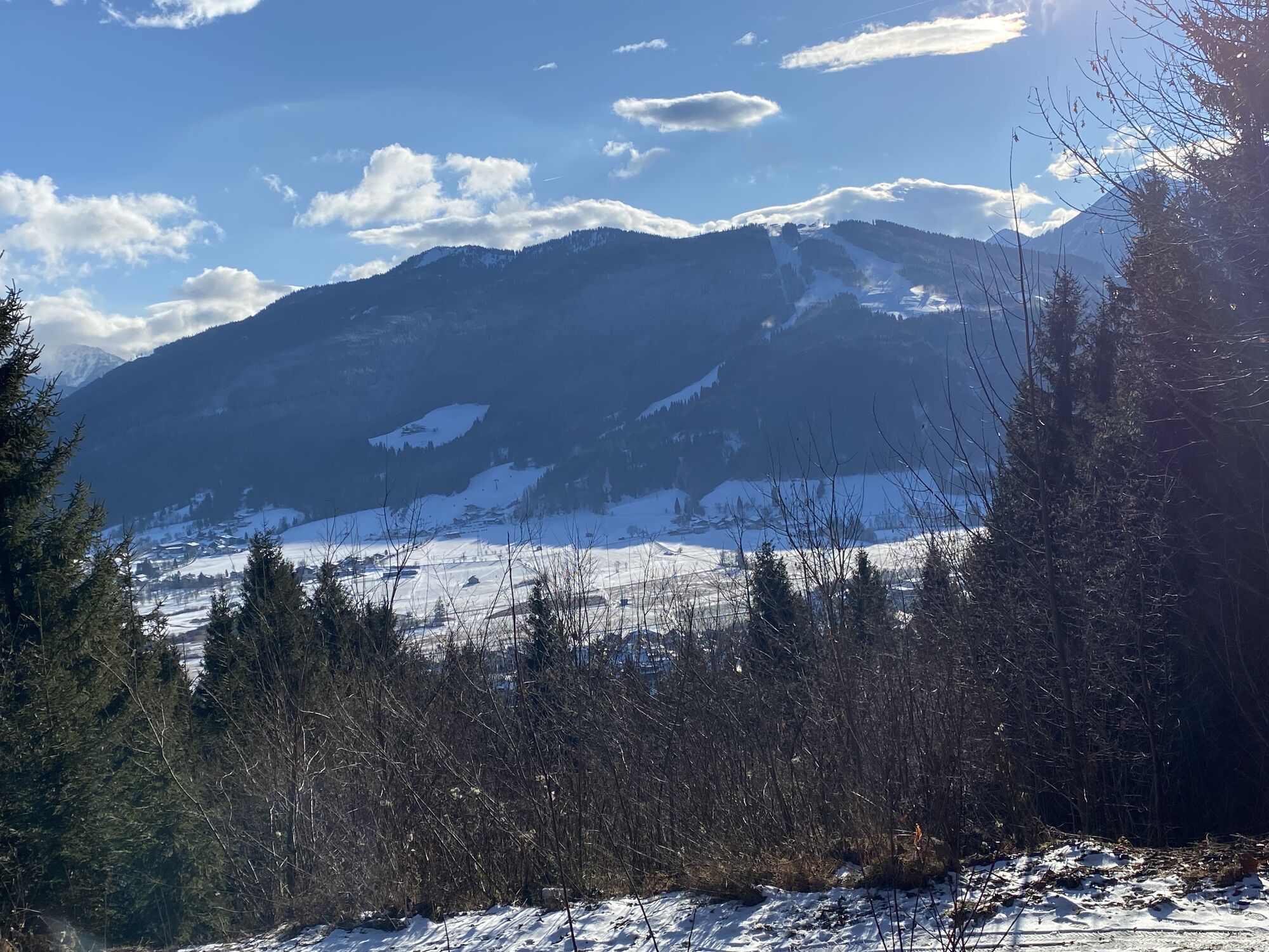
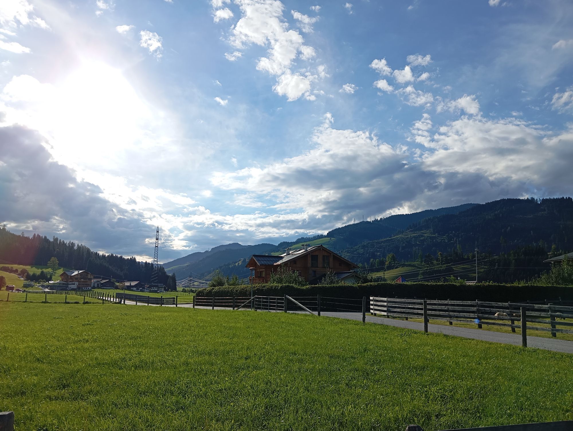
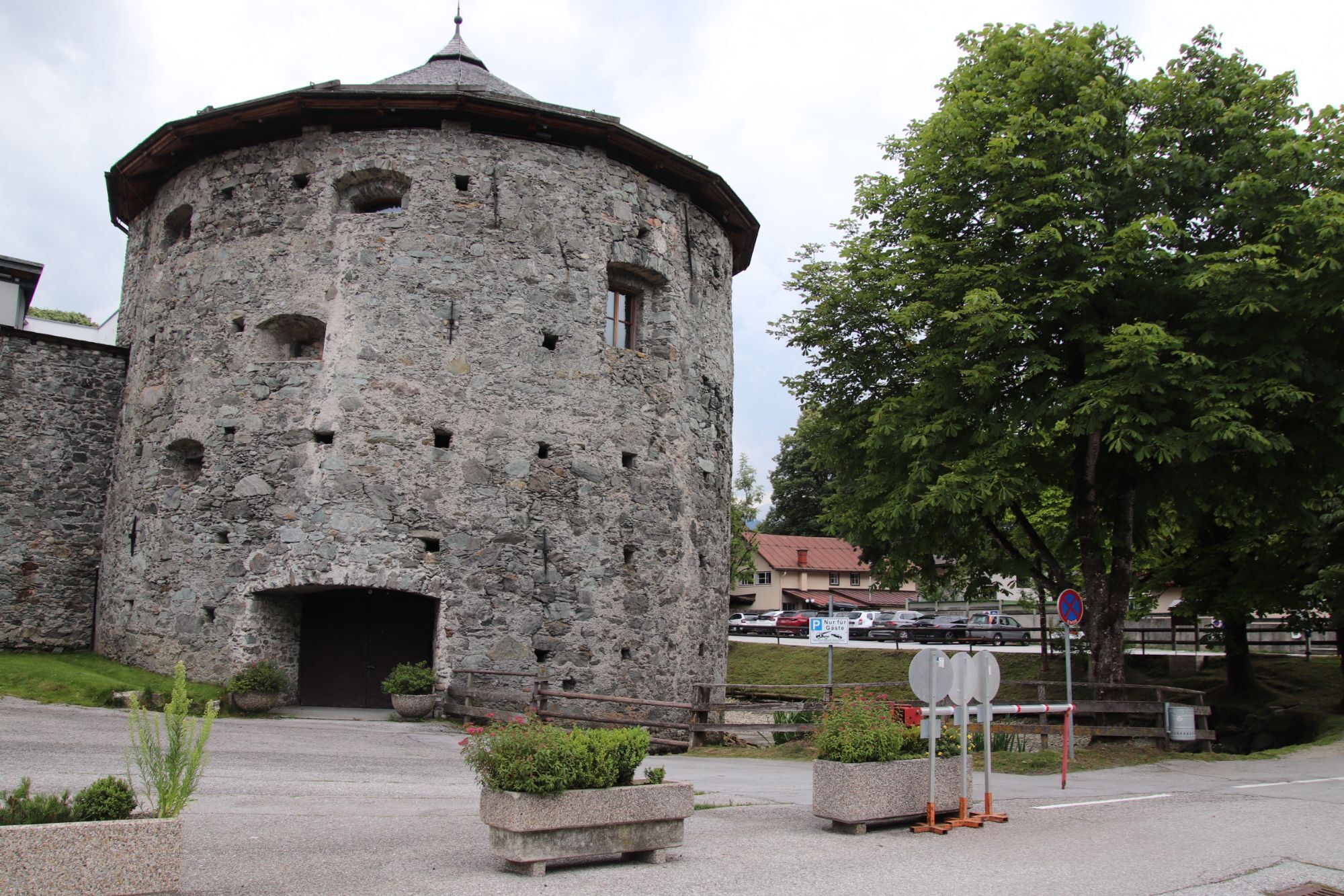
From Radstadt we start in a southerly direction and after a few bends uphill over the road the gravelled forest road begins, on which we cycle in a pleasant, constant ascent through the woods at the foot...
From Radstadt we start in a southerly direction and after a few bends uphill over the road the gravelled forest road begins, on which we cycle in a pleasant, constant ascent through the woods at the foot of the Rossbrand, until after just under 4km and about 300 metres in altitude we reach the managed Bürgerbergalm, which invites you to refresh yourself with tasty home cooking. Up to the highest point of the route, there is an additional 200 meters of altitude difference. On the long descent downhill towards Altenmarkt, the Reitlehenalm is a second excellent stop on this tour. From the alpine pasture, the surface changes back to asphalt and you can let it roll comfortably down to the valley. The way back to Radstadt is on the well developed and signposted flat Ennrsradweg.


Start at Flachau Tourismus - past the village café over the bridge and then left towards the miniature golf course - the signposted cycle path along the Enns to the Brückenwirt in Altenmarkt at km 7. 3 - turn left over the level crossing - after the level crossing turn right immediately - go through the underpass and turn right - at the fork in the road turn left (connection to MTB-Route 8) - in several hairpin bends steadily uphill to the highest point of the tour - shortly after km 14 turn right - in hairpin bends downhill to Radstadt (refreshment possibility Bürgerbergalm - approx. at km 16) - at the junction with Schlossstraße turn right - on asphalt roads parallel to the expressway over the Alte Bundesstraße in the direction of Altenmarkt - before the intersection after the Harml concrete factory turn slightly right (attention: do not turn onto the expressway) - at the Brückenwirt / railway crossing return to the starting point in Flachau.
protective gear enough to drink and eat for inbetween sunglasses, optionally sun cream or rain cover mobile phone
Check the functionality of your mountain bike before each ride and inform yourself in about the current weather on site. For your own safety, we recommend to wear a helmet.
to Flachau Center / Flachau Tourist Office
With the Flachau Summer Card you can use the Sportweltbus for only Euro 1,00 per person and route. Children under 6 years travel free!
More information at: https://www.flachau.com/en/more/information/sportweltbus.html
Further connections: www.salzburg-verkehr.at
Parking space near the starting point
Here you'll find more about mountainbiking in Flachau: https://www.flachau.com/en/sport/hiking-biking/mountain-bike.html
Info on the current weather on site: https://www.flachau.com/en
At the tourist info Flachau you get a bike map with information to this tour.

Webové kamery z prohlídky
Získejte přehled
Vždy živě na místě s více než 9 500 webkamerami. bergfex Jako uživatel Pro si nyní můžete zobrazit odpovídající webové kamery pro mnoho prohlídek v aplikaci prohlídky z. Můžete si tak přímo prohlédnout aktuální podmínky.
Oblíbené prohlídky v okolí
-
4.3
Filzmoos: Rötelstein (Rettenstein)
Turistika 9.50 km -
4.9
Werfenweng Mountainbikerunde Söldenhütte
středníMountainbike 18.8 km -
4.8
Tour around the Gosaukamm
středníTuristika 20.9 km -
4.6
Ski route Lackenkogel
středníLyžařská trasa 7.82 km -
4.7
Reiteralmrunde
světloTuristika 5.71 km -
4.6
Bachlalm-Murmeltiere Rundwanderweg
světloTuristika 10.2 km -
4.6
Rittispanoramaweg
světloTuristika 5.30 km -
4.7
Sulzenschneid
středníTuristika 9.51 km -
4.3
Ennskraxn (2410m)
heavyTuristika 14.7 km -
4.8
Gerzkopf
středníTuristika 8.43 km
Pěší turistika a stopování


Nenechte si ujít nabídky a inspiraci pro vaši příští dovolenou
Vaše e-mailová adresa byl přidán do poštovního seznamu.





