


SH 78 Tiroler - Round
Fotografie našich uživatelů
 © firebird 93Vytvořeno dne 28.09.2023
 © firebird 93Vytvořeno dne 26.09.2023
 © Dirk MallowVytvořeno dne 25.09.2025
 © Georg KlennerVytvořeno dne 19.06.2025
 © Zoran DujakovicVytvořeno dne 30.05.2025
 © martl122Vytvořeno dne 27.04.2025
 © Zoran DujakovicVytvořeno dne 02.11.2024
 © Regina Kaiser 1Vytvořeno dne 24.09.2024
 © Regina Kaiser 1Vytvořeno dne 24.09.2024
 © Regina Kaiser 1Vytvořeno dne 24.09.2024
 © Regina Kaiser 1Vytvořeno dne 24.09.2024
 © Matej Mikus 1Vytvořeno dne 14.05.2024
 © Matej Mikus 1Vytvořeno dne 14.05.2024
 © TanjasusannaVytvořeno dne 15.08.2023
 © TanjasusannaVytvořeno dne 15.08.2023
 © TanjasusannaVytvořeno dne 15.08.2023
 © Zoran DujakovicVytvořeno dne 02.11.2024
 © Didi ReschVytvořeno dne 30.08.2024
 © Didi ReschVytvořeno dne 30.08.2024
 © firebird 93Vytvořeno dne 26.09.2023
 © firebird 93Vytvořeno dne 26.09.2023
 © firebird 93Vytvořeno dne 26.09.2023
 © firebird 93Vytvořeno dne 26.09.2023
 © Bernhard DewitzVytvořeno dne 25.05.2023
 © Bernhard DewitzVytvořeno dne 25.05.2023
 © Bernhard DewitzVytvořeno dne 25.05.2023
 © Bernhard DewitzVytvořeno dne 25.05.2023
 © Stefan SpiegelburgVytvořeno dne 31.12.2022
 © Dive DidiVytvořeno dne 08.09.2022
 © Dive DidiVytvořeno dne 08.09.2022
 © annnaa0801Vytvořeno dne 06.04.2026
 © annnaa0801Vytvořeno dne 06.04.2026
 © annnaa0801Vytvořeno dne 06.04.2026
 © annnaa0801Vytvořeno dne 06.04.2026
 © annnaa0801Vytvořeno dne 06.04.2026
 © annnaa0801Vytvořeno dne 06.04.2026
 © Alexandra BazeltVytvořeno dne 04.04.2026
 © Antoine WaqueVytvořeno dne 03.04.2026
 © Jan GörgelVytvořeno dne 03.04.2026
 © P NykampVytvořeno dne 01.04.2026
 © annnaa0801Vytvořeno dne 31.03.2026
 © annnaa0801Vytvořeno dne 31.03.2026
 © annnaa0801Vytvořeno dne 31.03.2026
 © Stefan RibischVytvořeno dne 22.03.2026
 © Stefan RibischVytvořeno dne 22.03.2026
 © Stefan RibischVytvořeno dne 21.03.2026
 © klausarnezederVytvořeno dne 20.03.2026
 © Jakob MahlerVytvořeno dne 18.03.2026


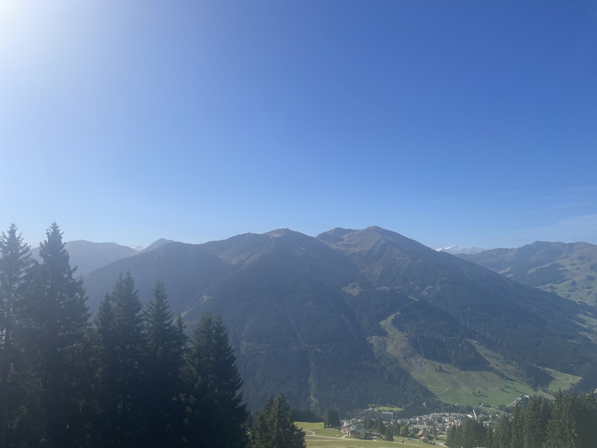


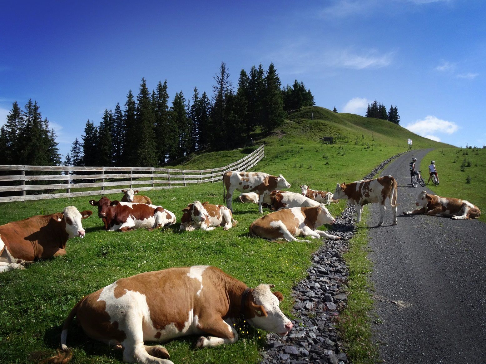
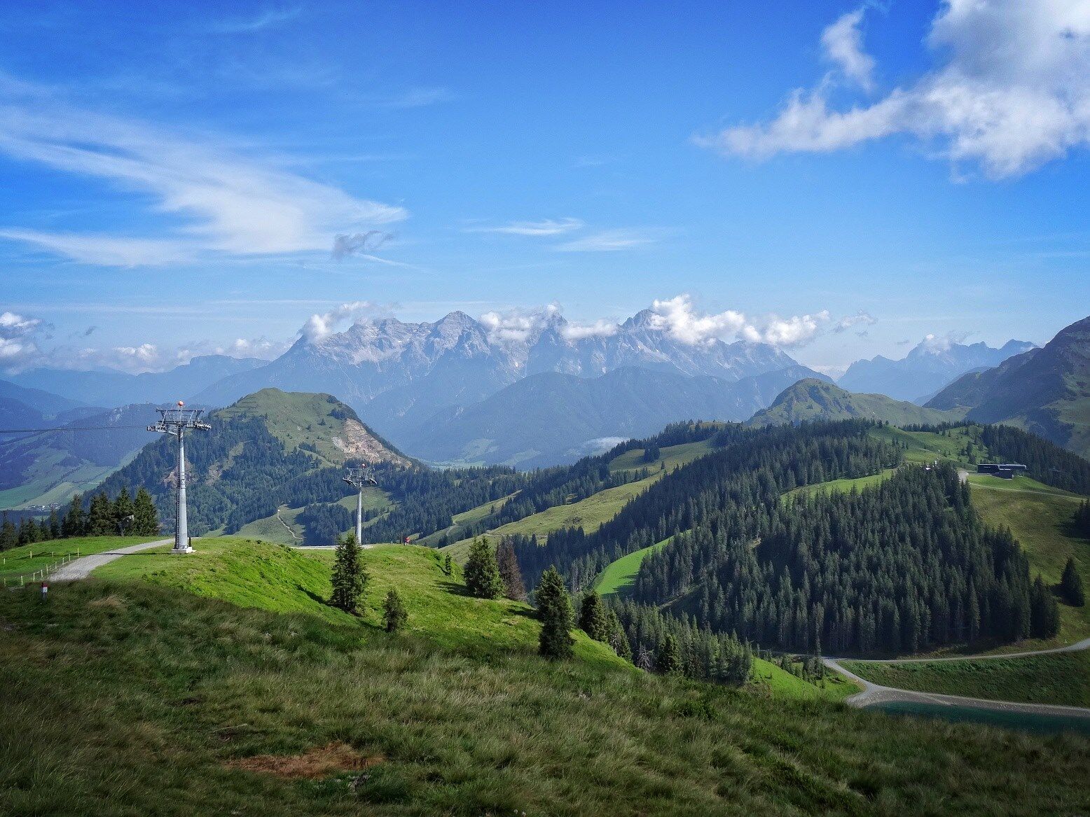
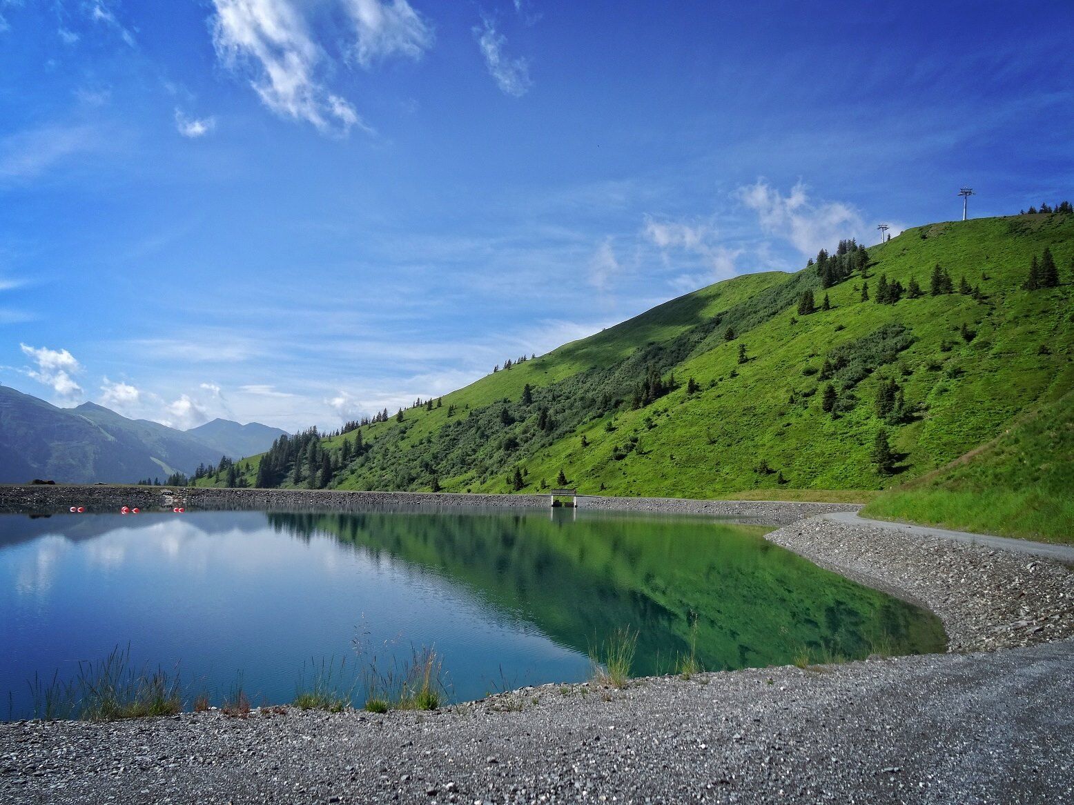
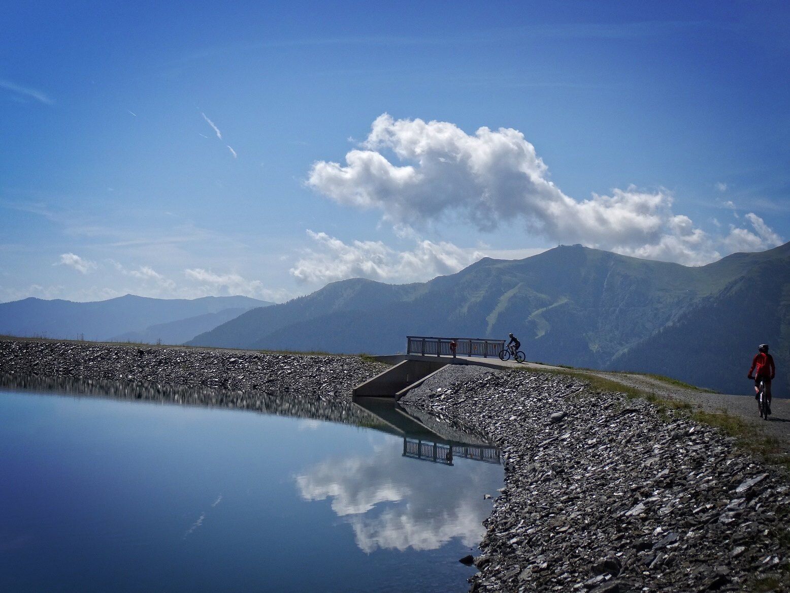
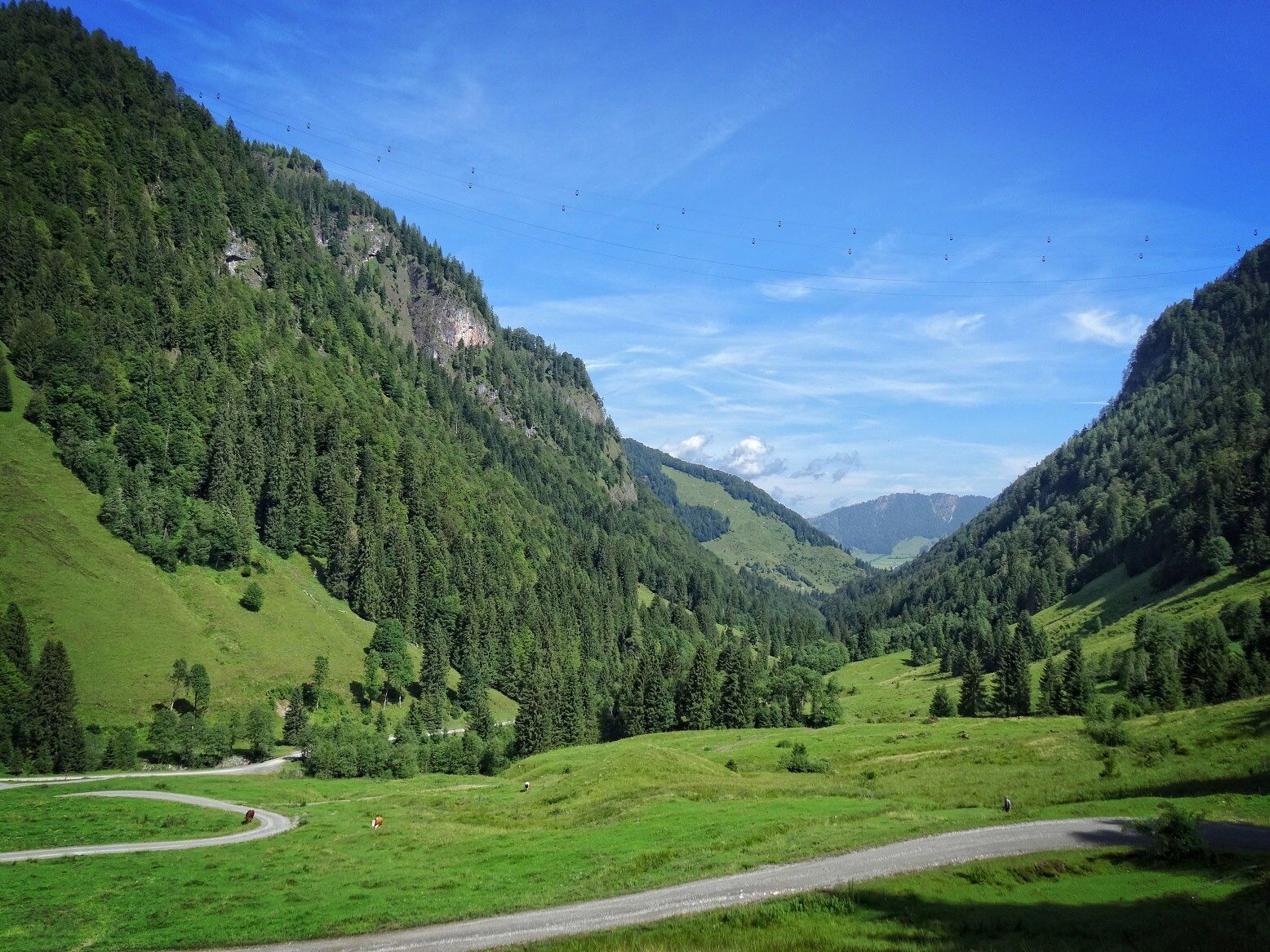
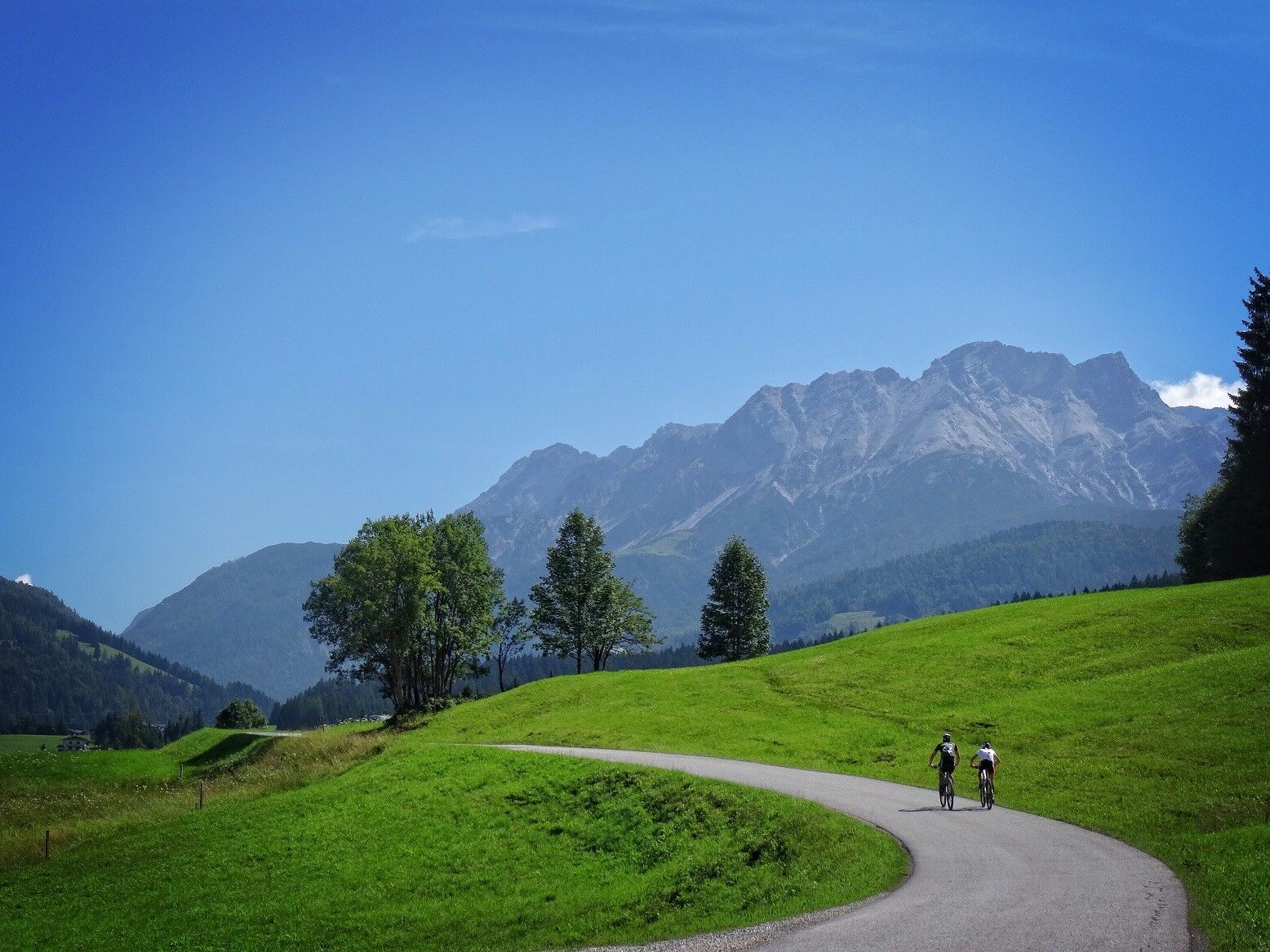
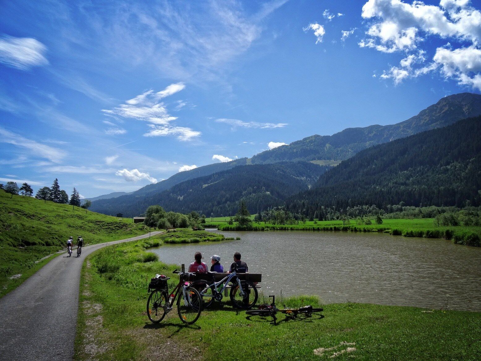
Starting from Hinterglemm, you ride up via the Pfefferweg past Pfefferalm and Wieseralm to Rosswaldhut and from there to Reiterkogel; the first big climb with a panoramic reward is achieved. Over the Wetterkreuz...
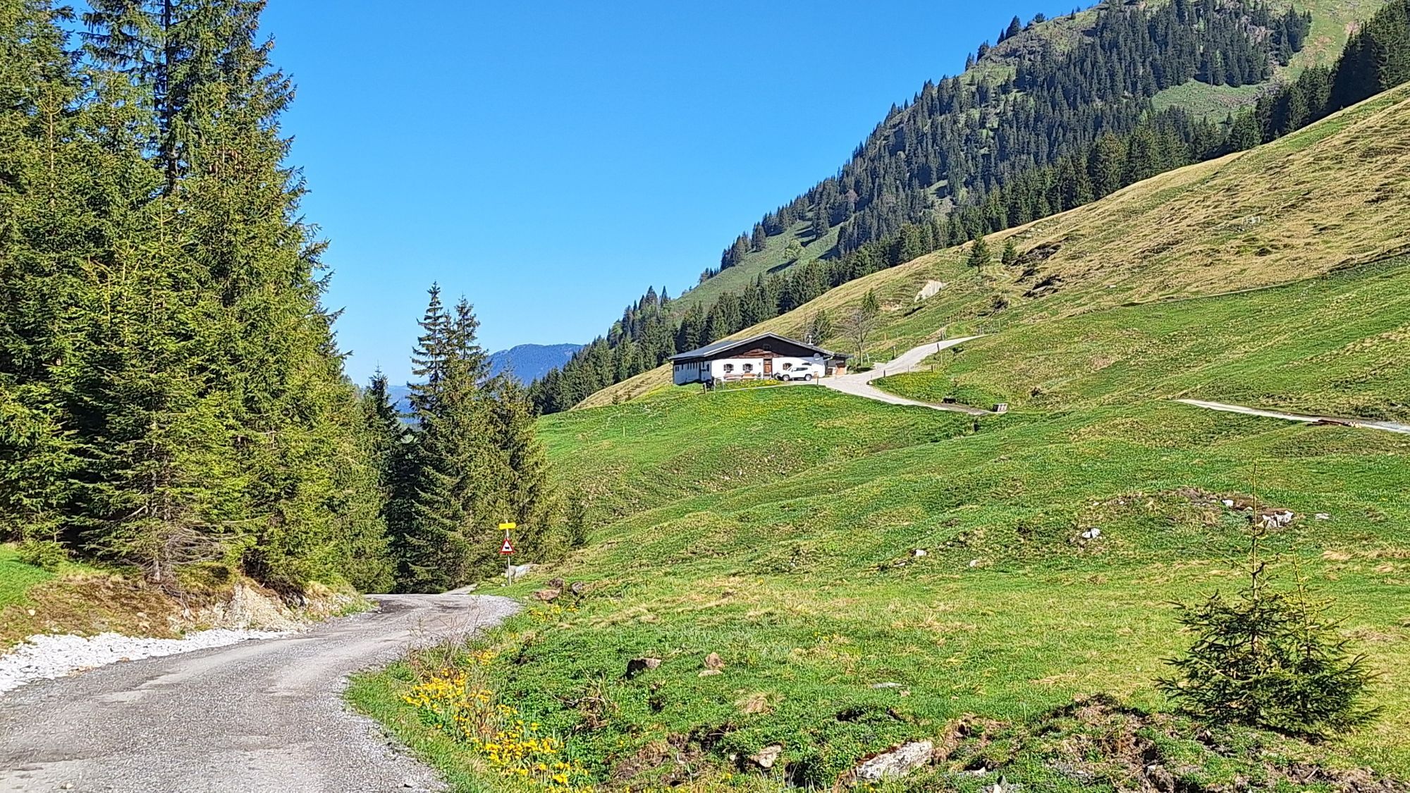
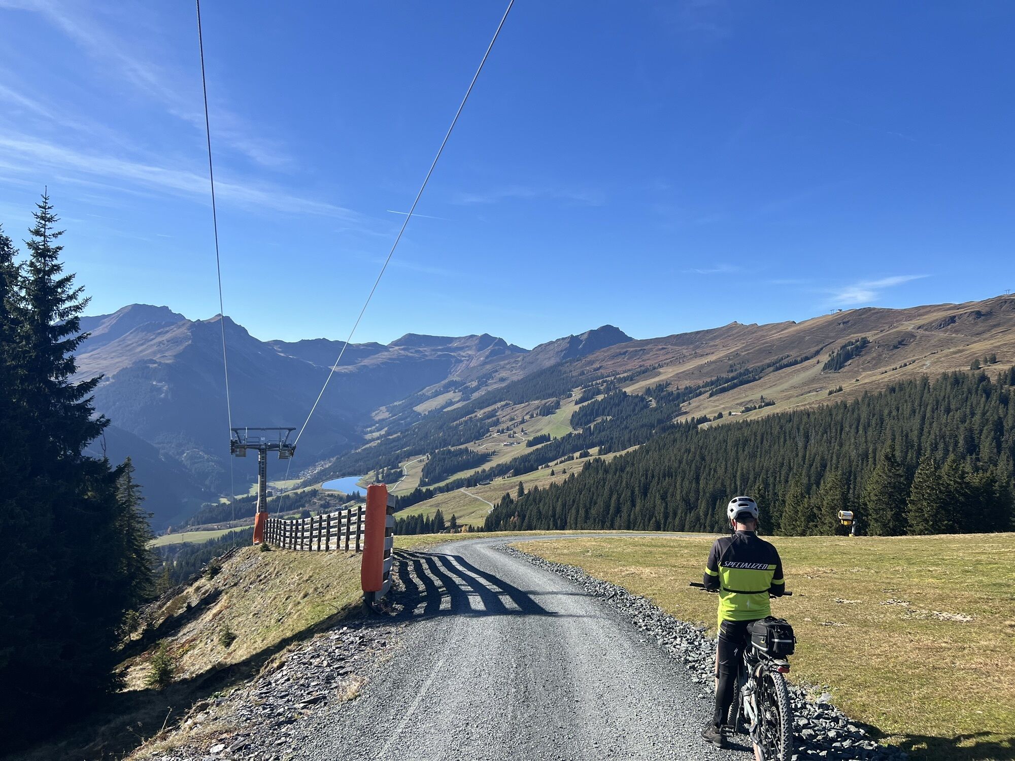
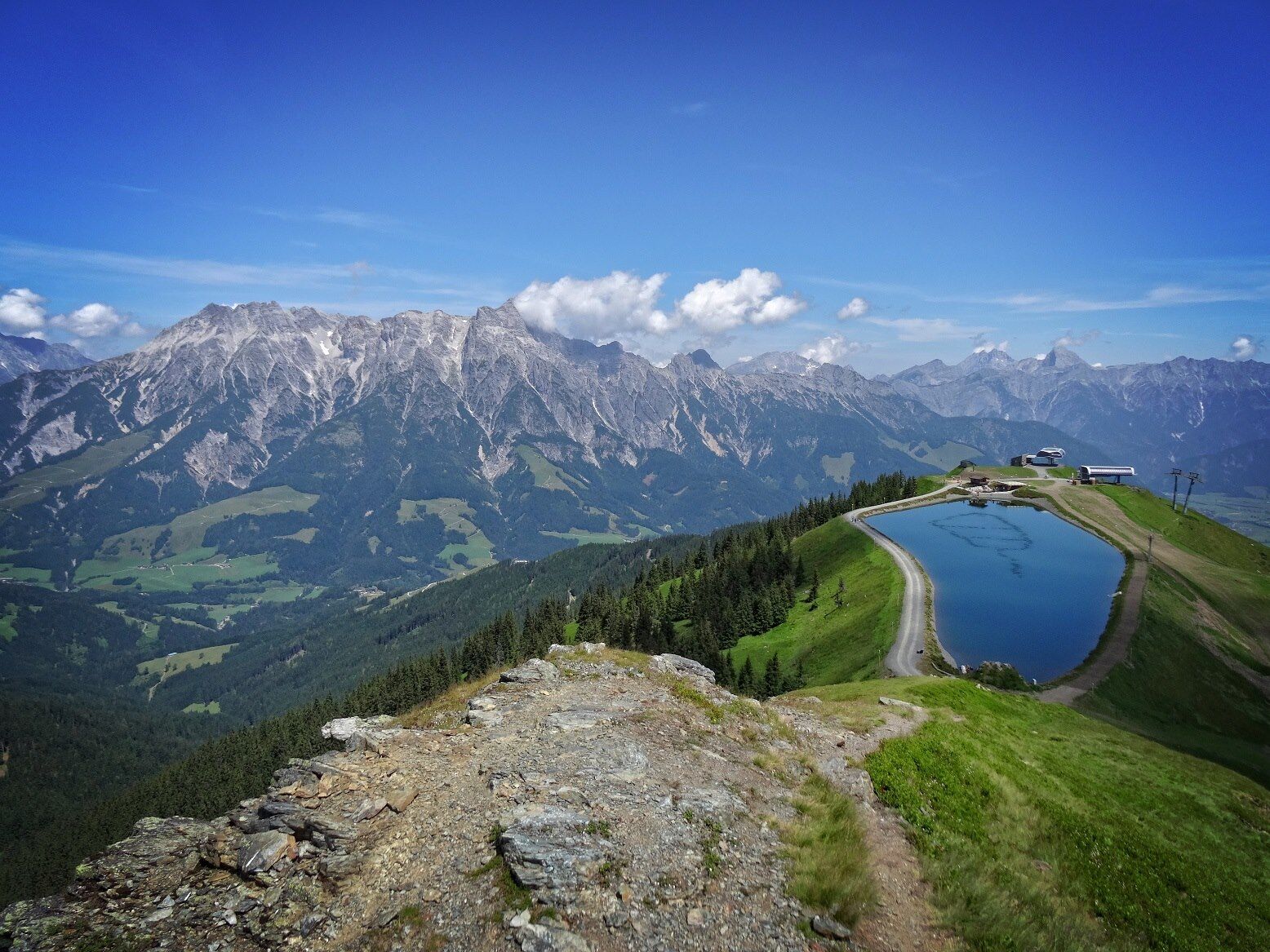
Starting from Hinterglemm, you ride up via the Pfefferweg past Pfefferalm and Wieseralm to Rosswaldhut and from there to Reiterkogel; the first big climb with a panoramic reward is achieved. Over the Wetterkreuz and the "Hennerleiter" you descend into the Hörndlinger Graben and then roll relaxedly down the valley almost to Hochfilzen. A short stretch along the road to Hochfilzen, then along the bike path to Hütten just before Leogang. From here you go back into the terrain, riding on beautiful forest roads through Schwarzleotal and then through the Bavarian Saalforests up to the Asitzbahn mountain station (if you are already tired before, you can also take the cable car to get here). Via the Asitz trail, you reach Schönleitenhütte and from there, after a long traverse, over to Spielberghaus, down to Saalbach and further to Hinterglemm.

Ano
Ano
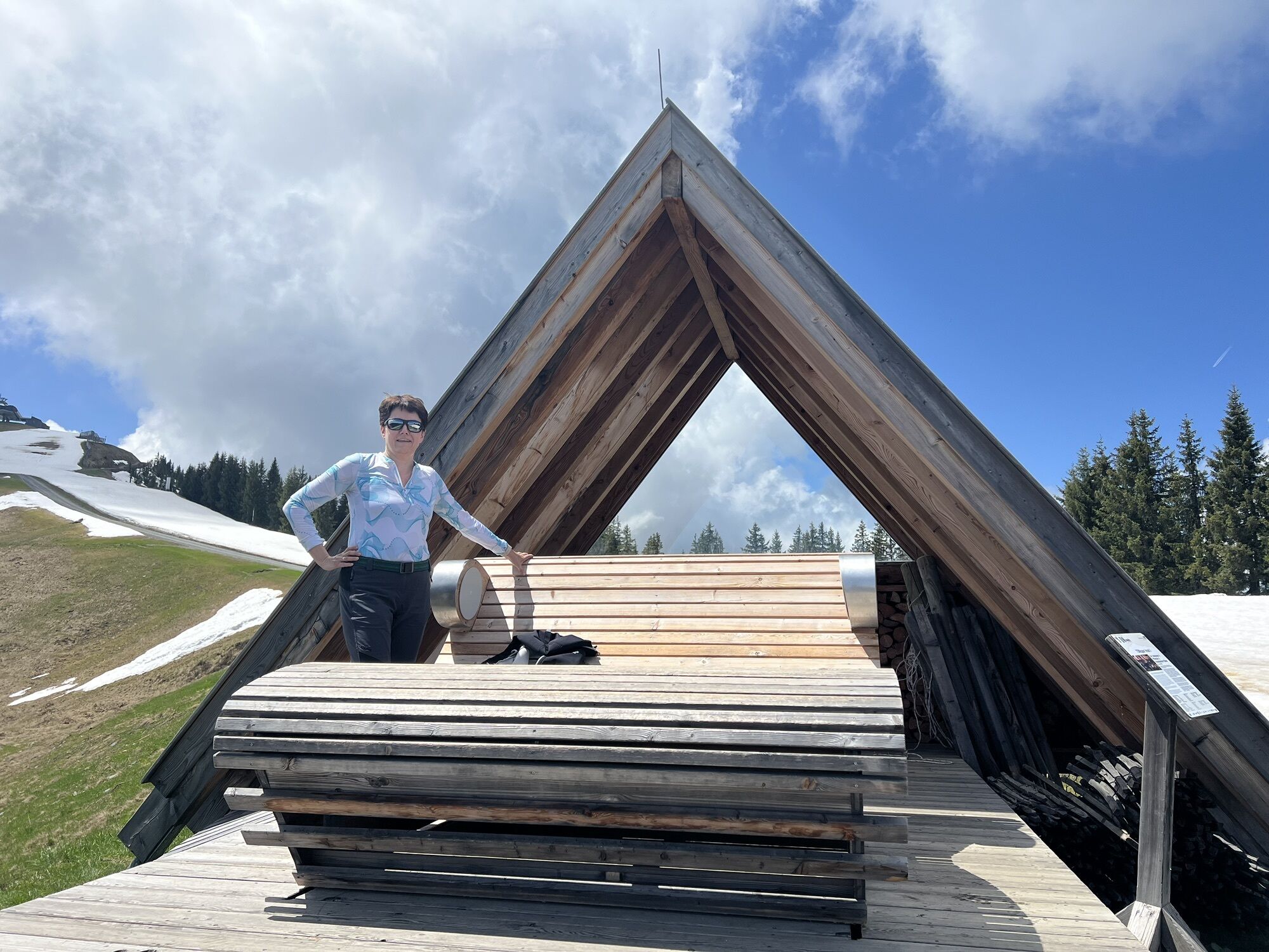
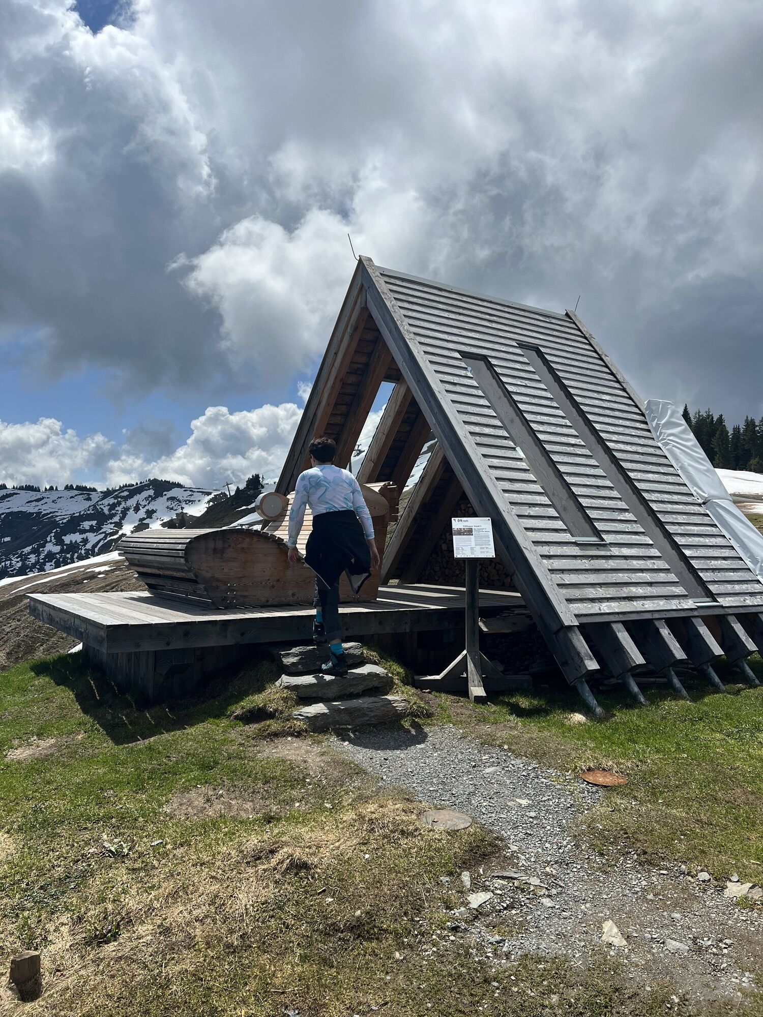
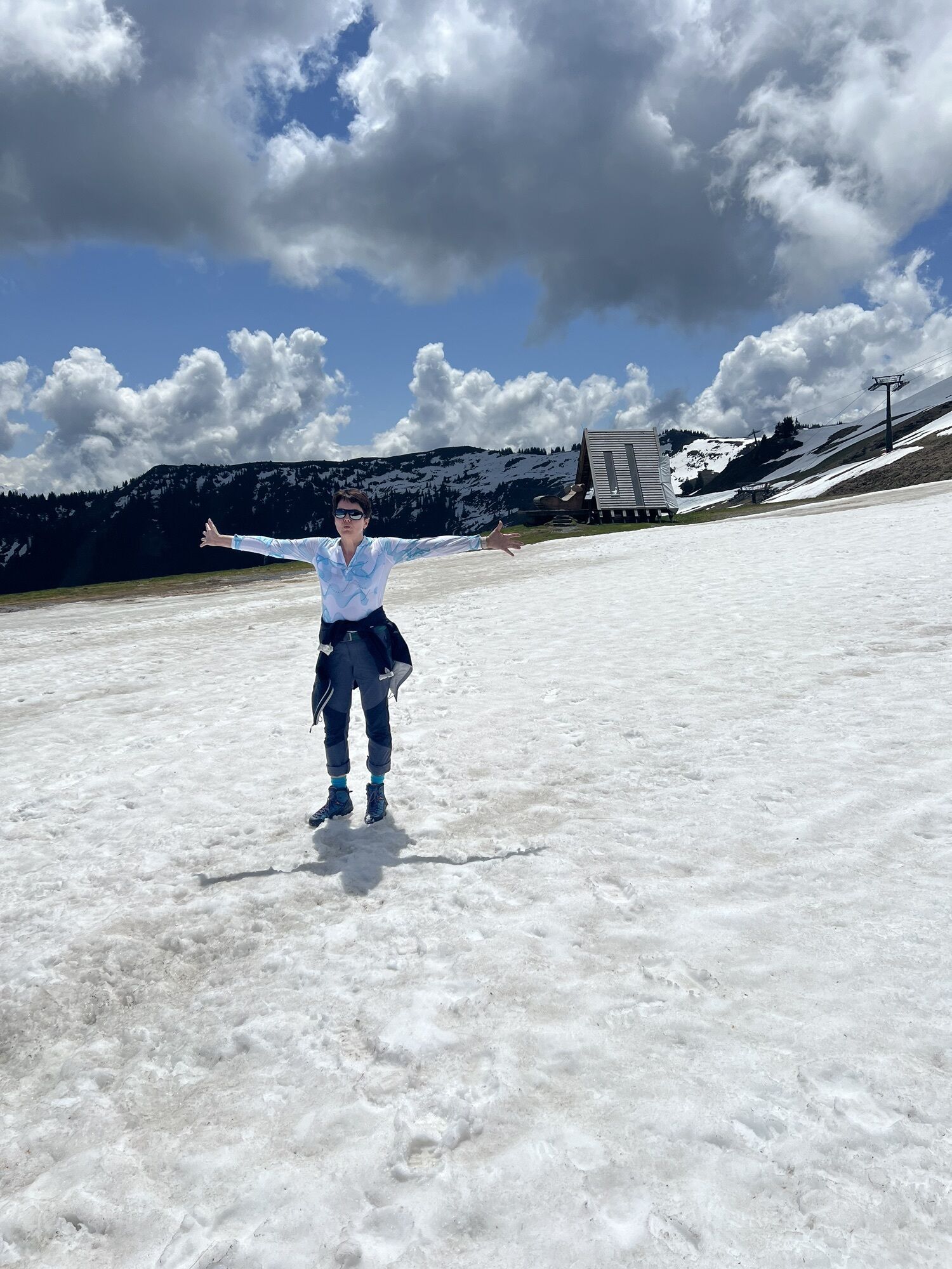
Download the route as an individual map HERE!
Webové kamery z prohlídky
Schattberg - West
Asitz Gipfel
Schattberg Westgipfel
Hinterglemm Dorf
Kohlmais Tal
Hochfilzen - Ferienwohnungen Schreder
Asitz Talstation
Reckmoos
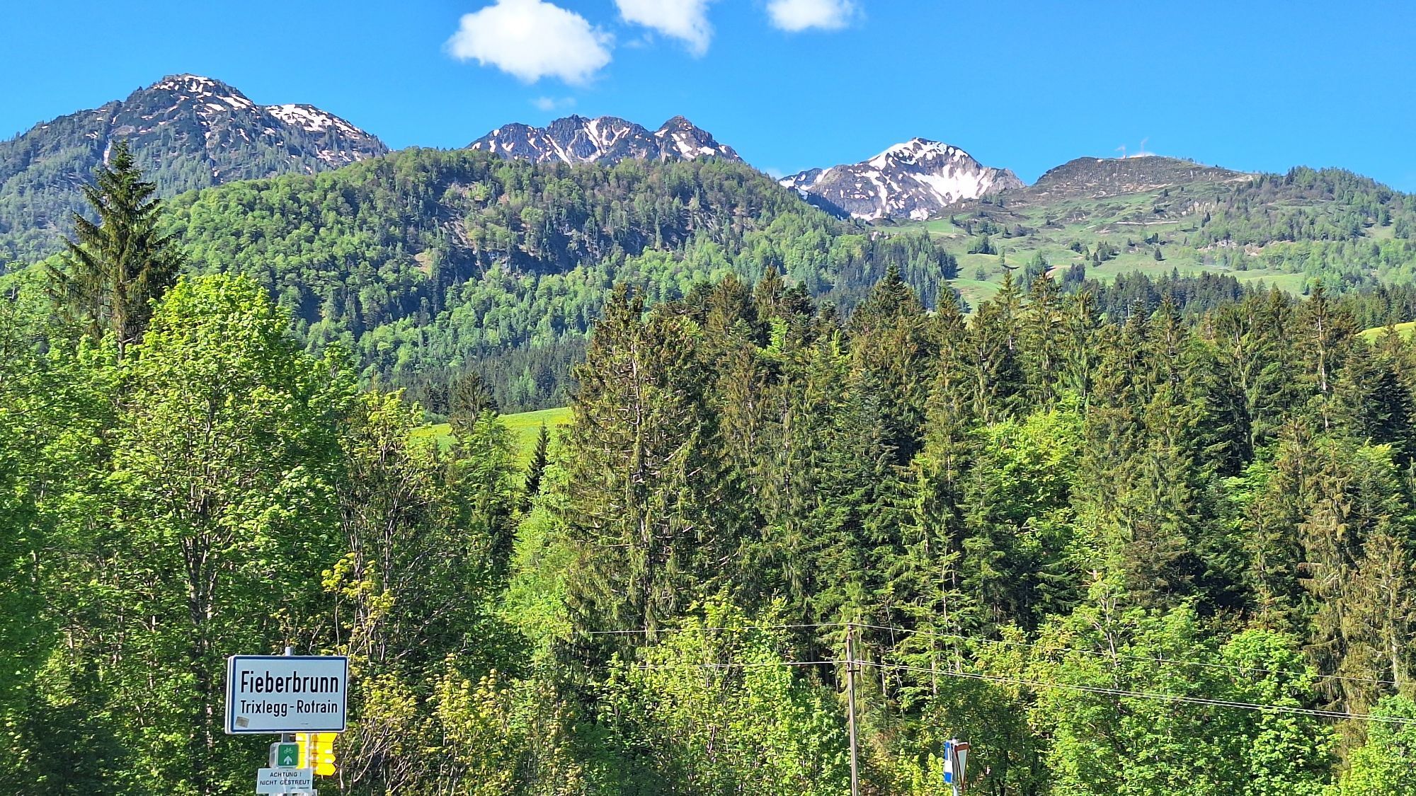
Fieberbrunn - Buchensteinwand in Tirol
Leogang
Hinterglemm - Saalbach
Großer Asitz / Gipfelkreuz
Leogang Schanteilift
Saalbach-Hinterglemm - Schattberg Ost
Saalbach-Hinterglemm - Zwölferkogel
Saalbach-Hinterglemm - Wildenkarkogel
Fieberbrunn - Lärchfilzkogel
Lärchfilzkogel
Saalbach - Hotel Alpinresort
Talstation Asitzbahn
Maishofen Sausteige
Saalbach-Hinterglemm - Kohlmais
Leogang - Grosser Asitz
Fieberbrunn - Bikepark, Streuböden Talstation (836m)
Fieberbrunn - Streuböden Bergstation
Pillersee - Jakobskreuz
Talstation Pillersee
Martenhof
Lärchfilzkogel
Wohlfühlhotel-Johanneshof
Fairhotel Hochfilzen
Eberharthof - Saalbach-Hinterglemm
Oblíbené prohlídky v okolí
- 4.1
Passauer Hütte
heavyTuristika 4.14 km - 4.9
Hochsonnberg Runde
středníMountainbike 59.8 km - 4.5
Birnbachloch Leogang, Österreich
středníTuristika 5.18 km - 4.6
Lettlkaser
středníTuristika 4.40 km - 5.0
Panorama route 3 peaks and 2 lakes
středníTuristika 7.35 km - 3.8
Maurerkogel (Top)
Turistika 10.5 km - 4.5
Seisenberg Gorge
světloTuristika 2.41 km - 5.0
Leo’s play hiking trail
světloTematická stezka 4.89 km - 4.0
Berg der Sinne
světloTuristika 4.39 km - 4.7
Tristkogel
heavyTuristika 15.6 km
Pěší turistika a stopování


Nenechte si ujít nabídky a inspiraci pro vaši příští dovolenou
Vaše e-mailová adresa byl přidán do poštovního seznamu.