


SA 05 | Hundstein Tour


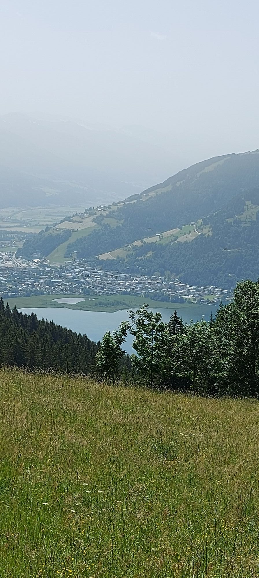
From the city center of Saalfelden, follow the bike path initially in the direction of Zell am See and then along the shore of Lake Zell to Thumersbach. Here begins the long ascent to the summit of the...
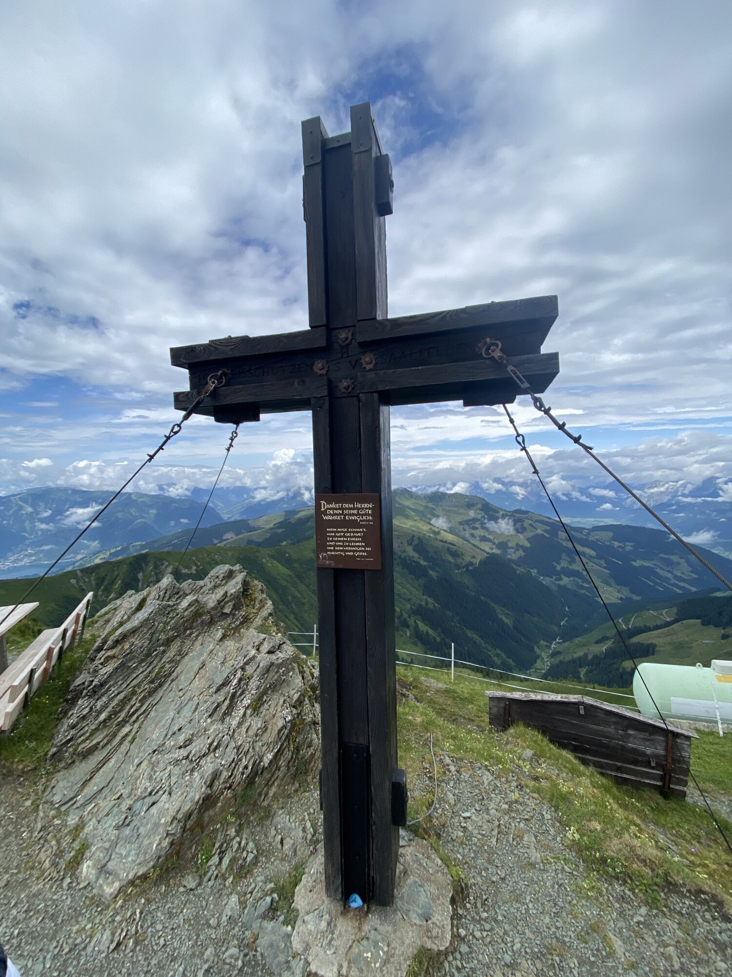
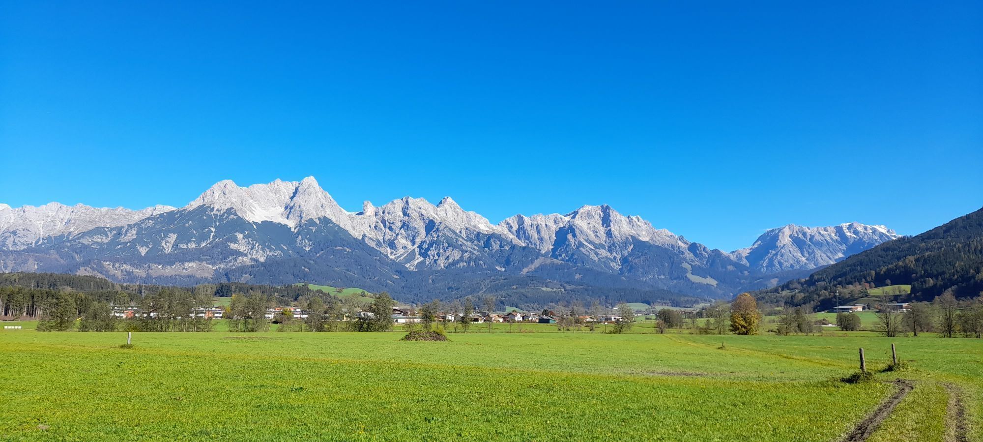
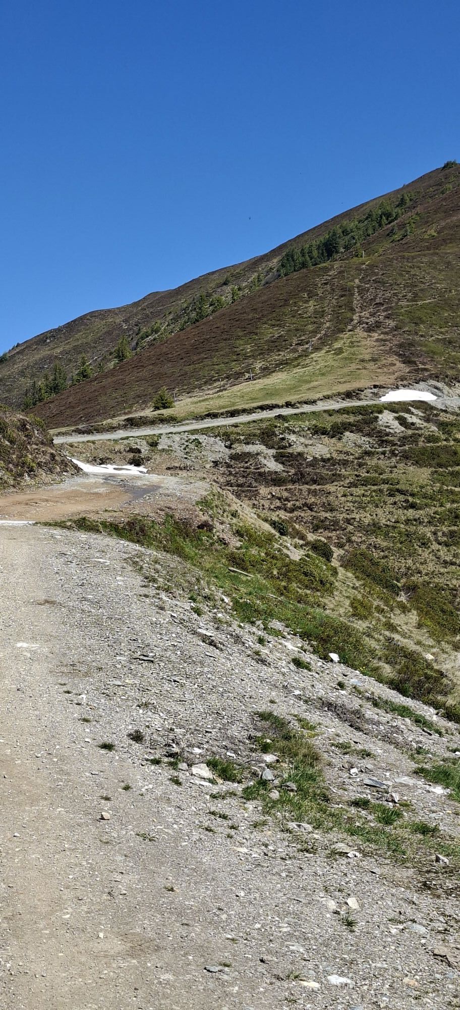
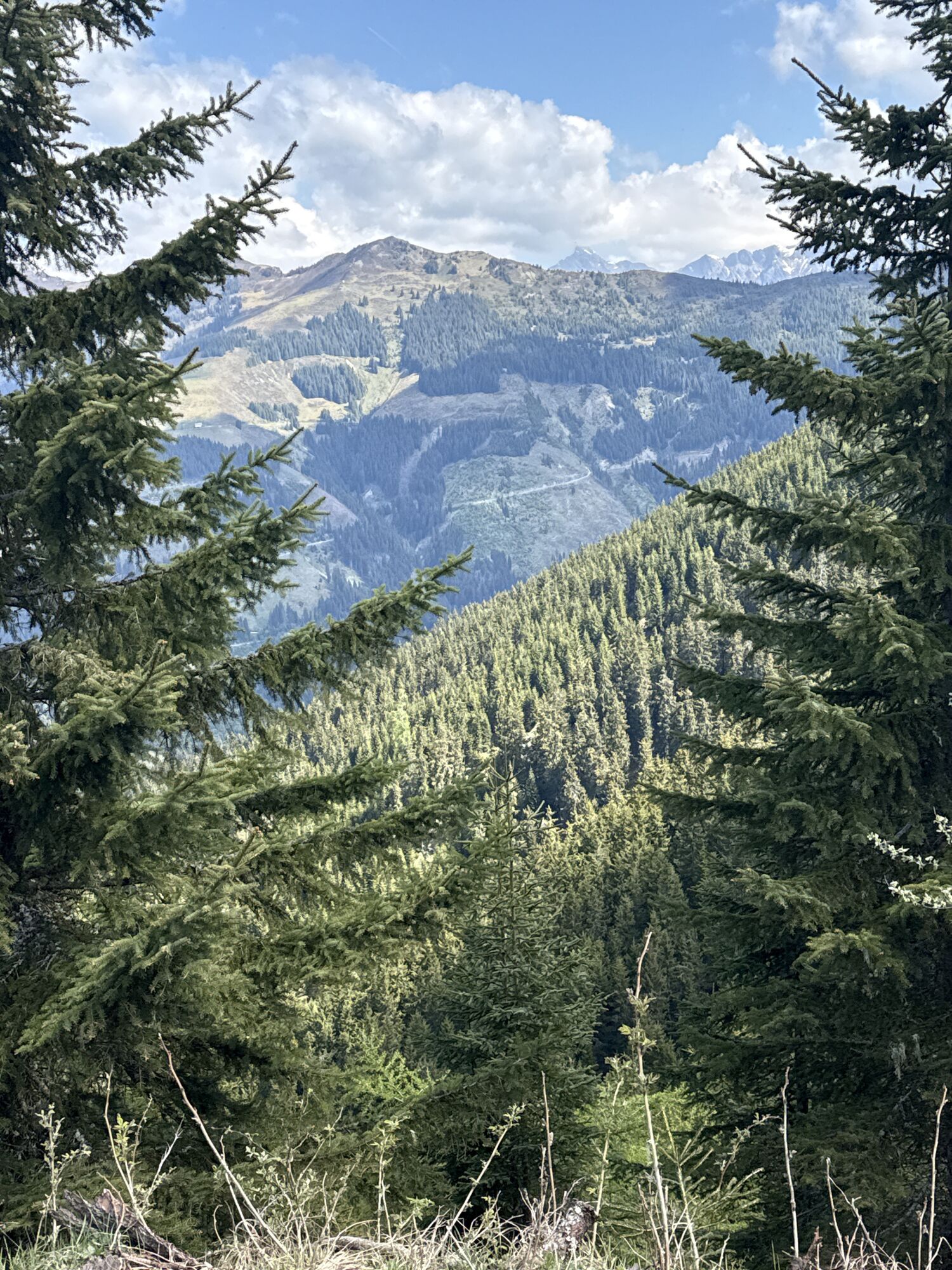
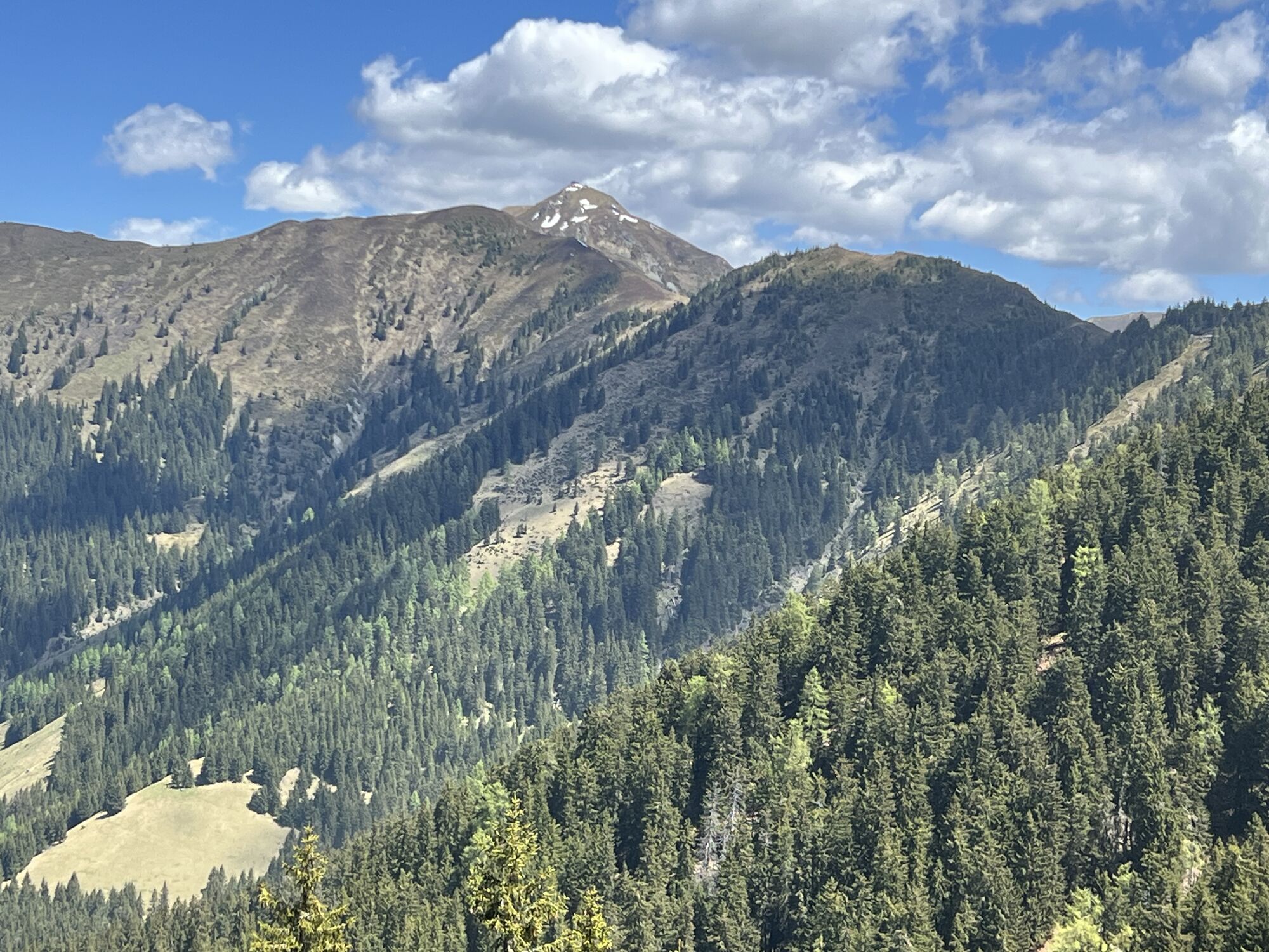
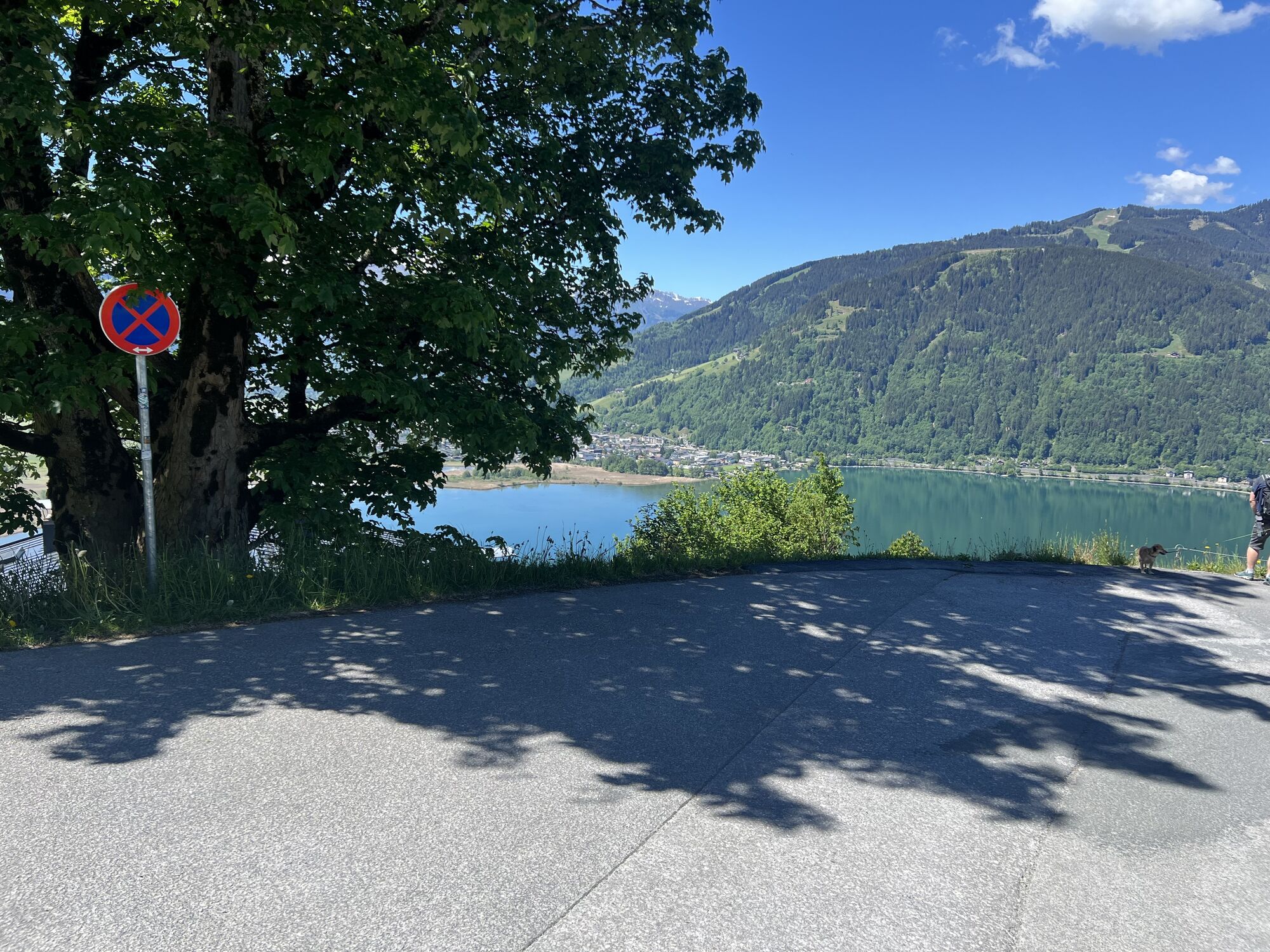
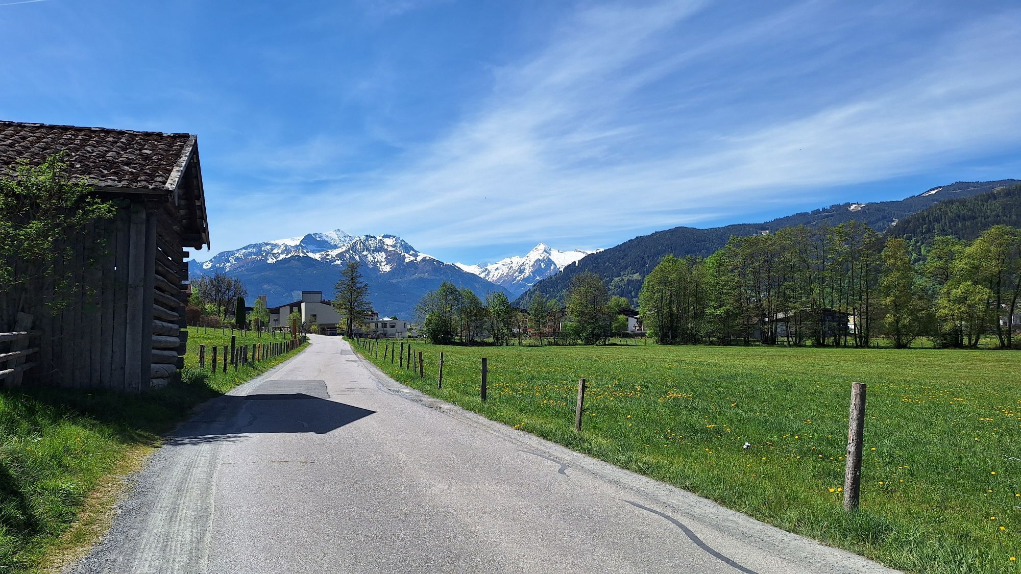
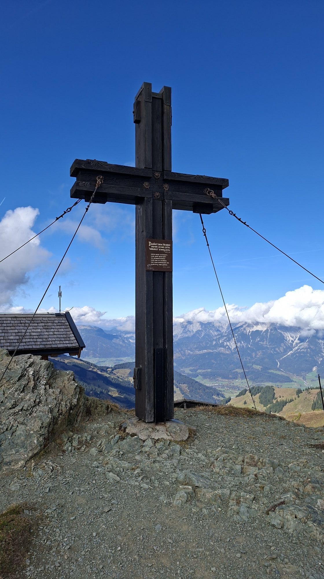
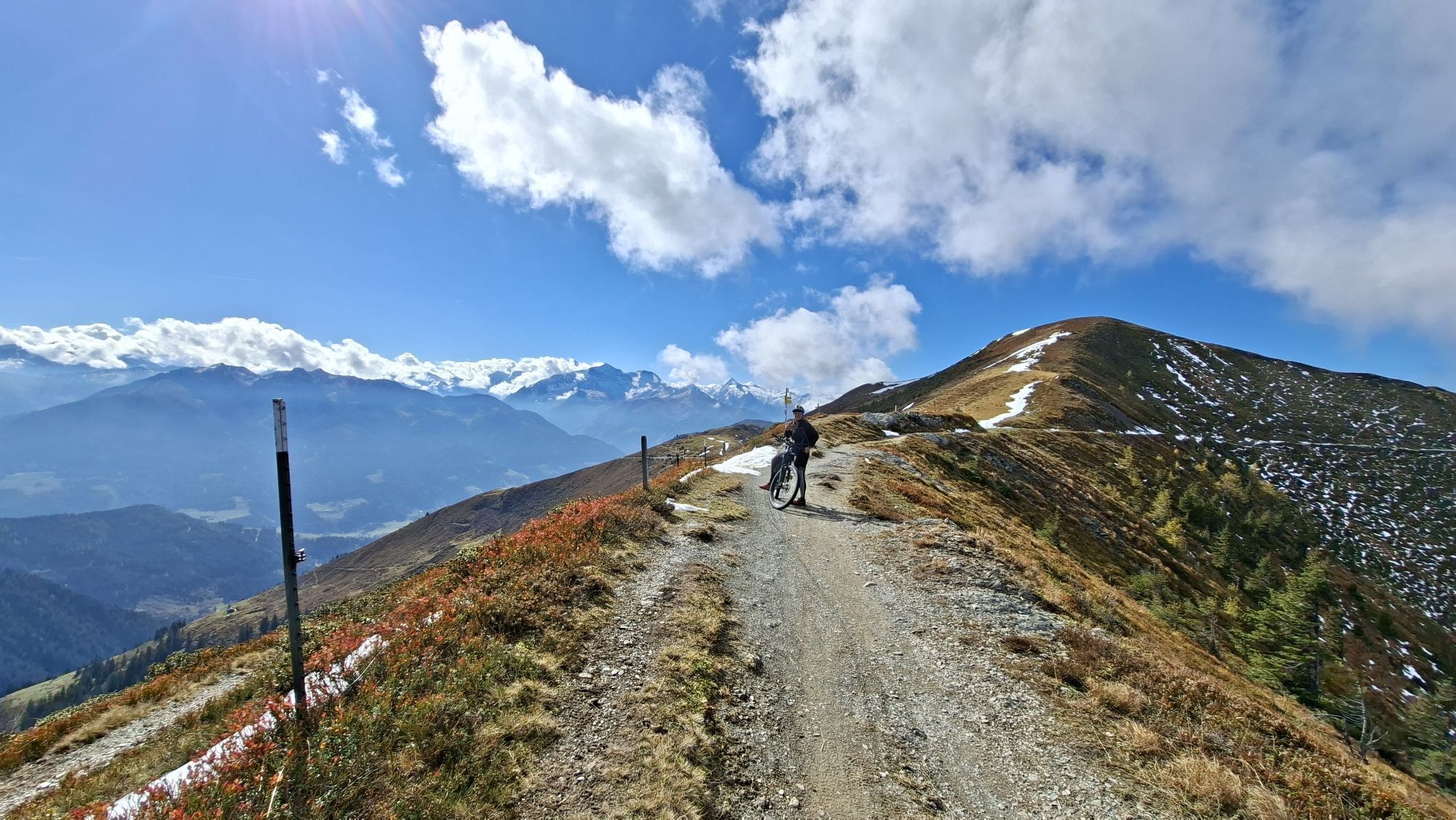
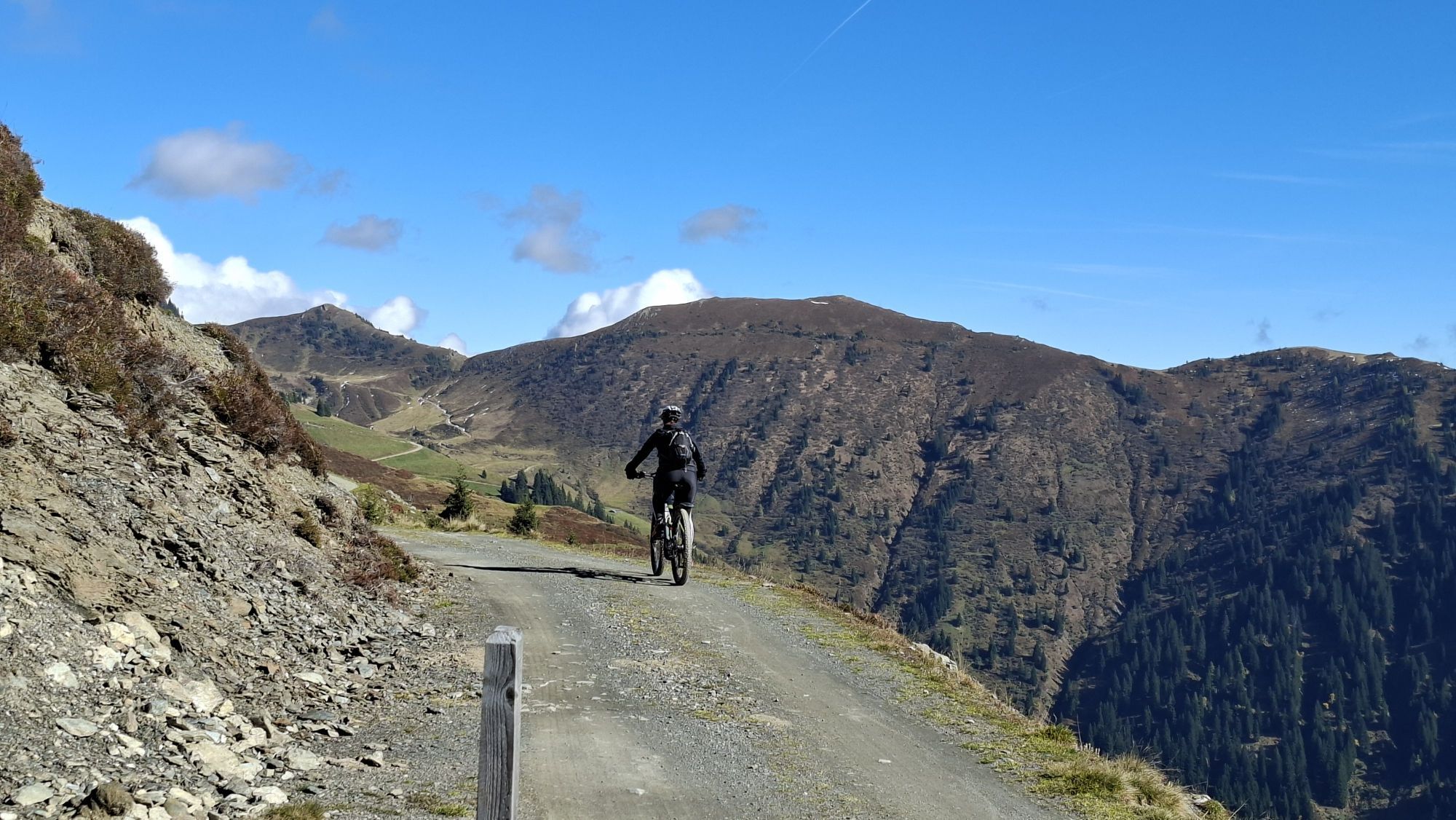
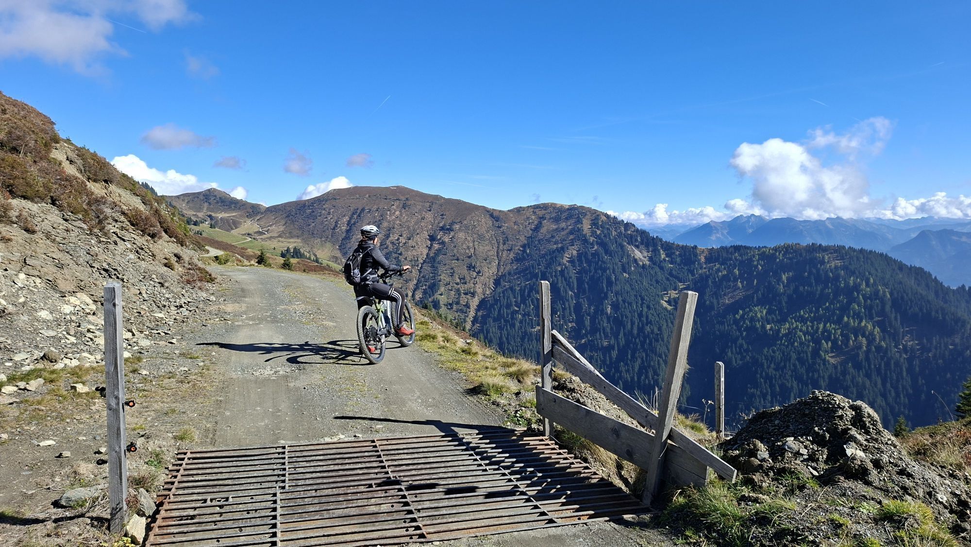
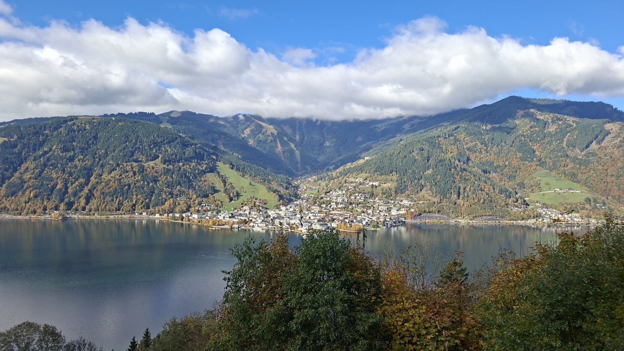
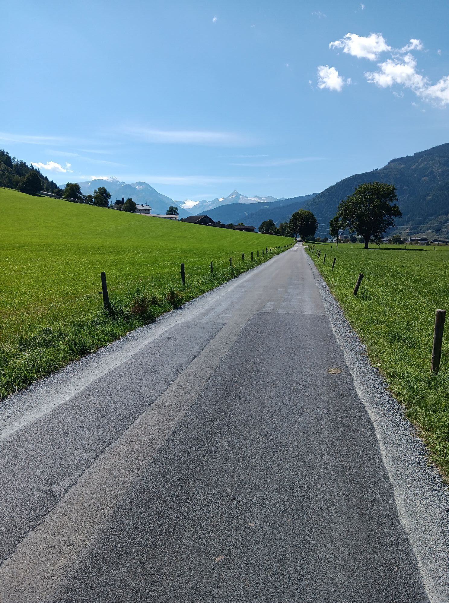
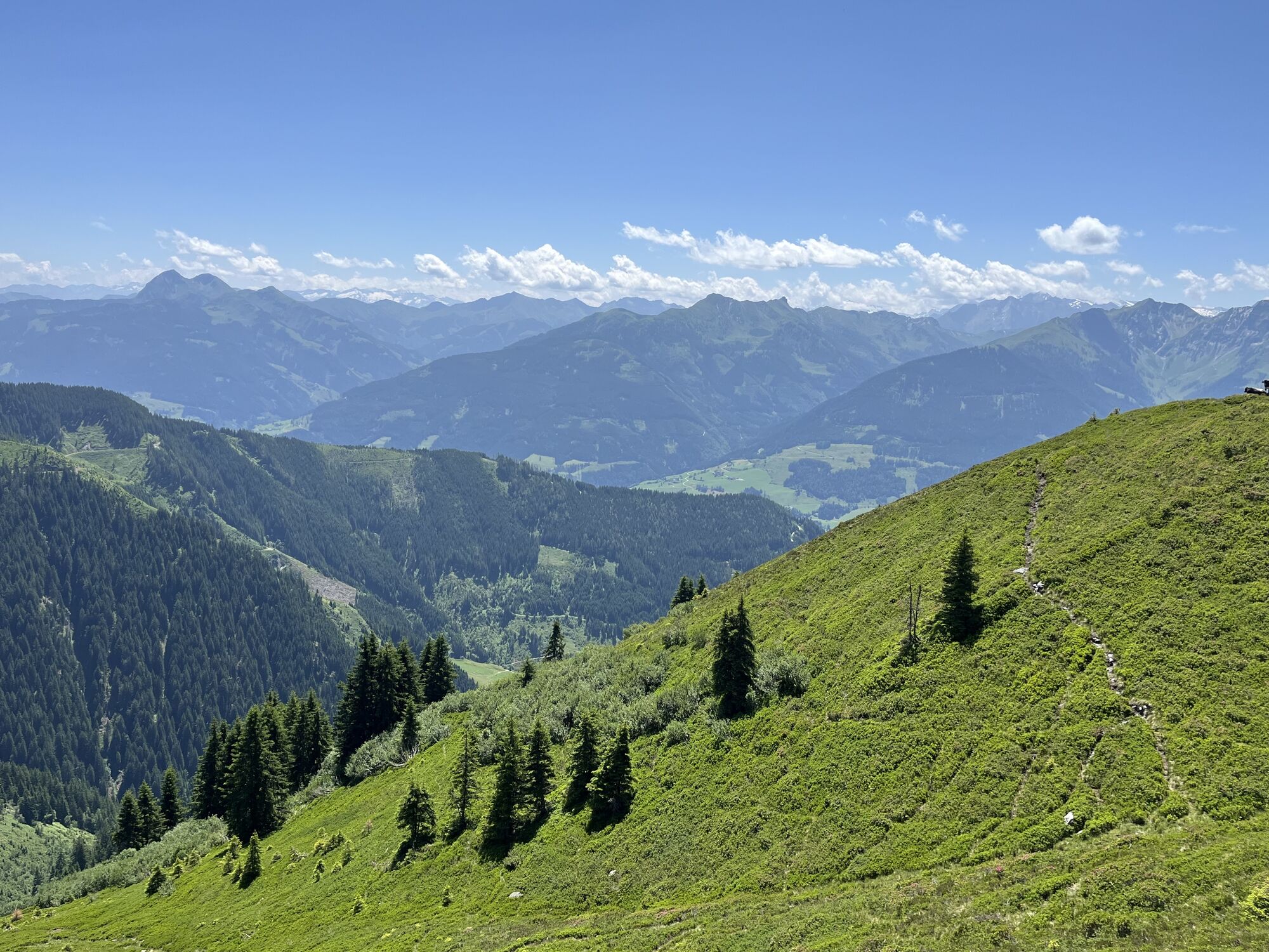
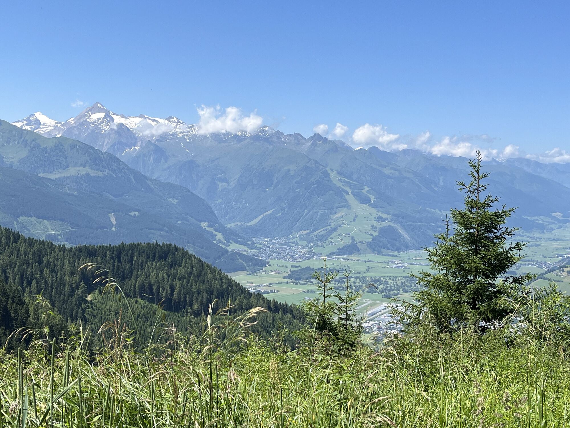
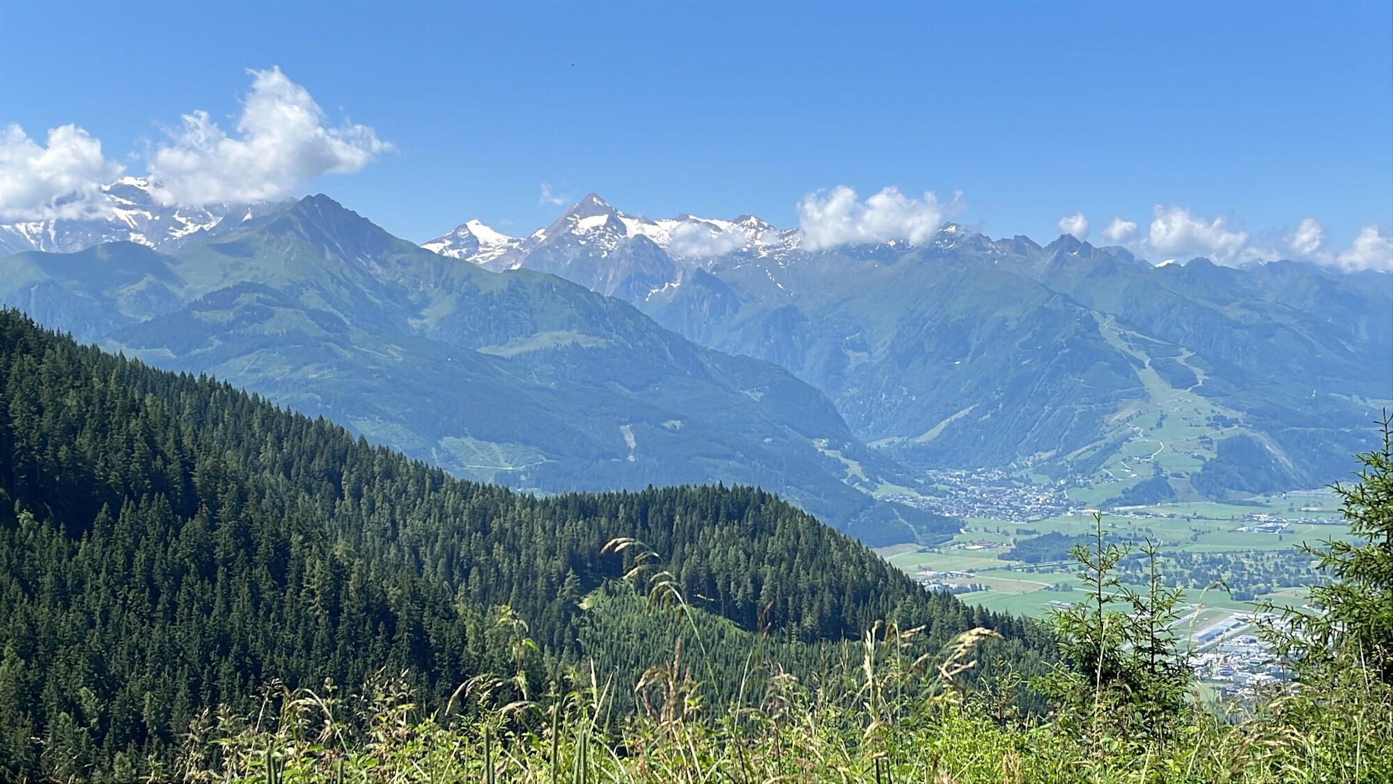
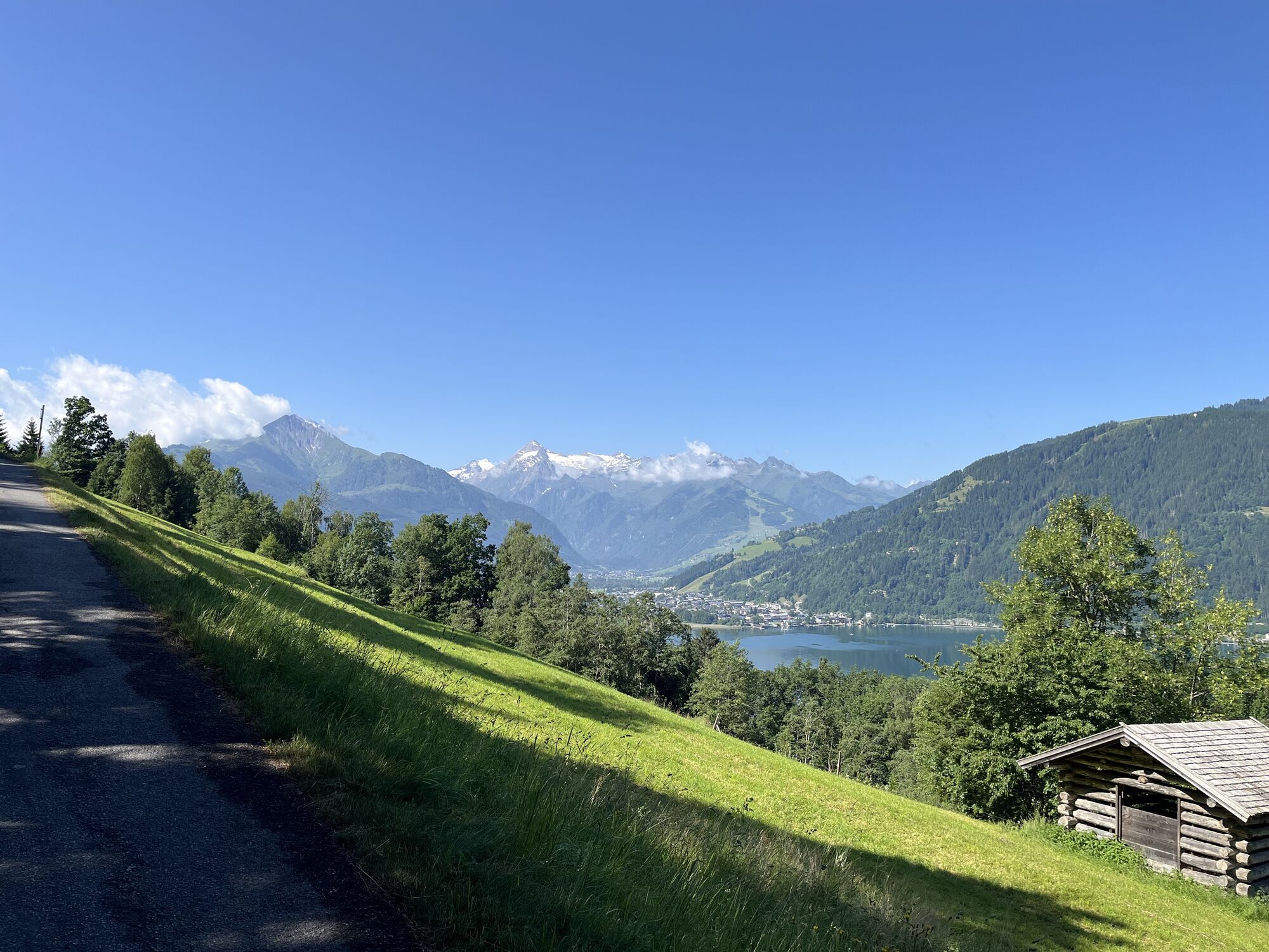
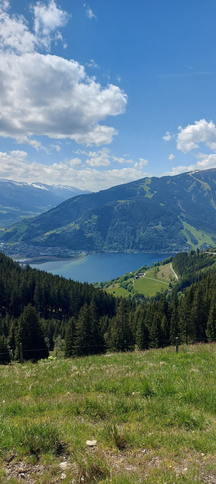
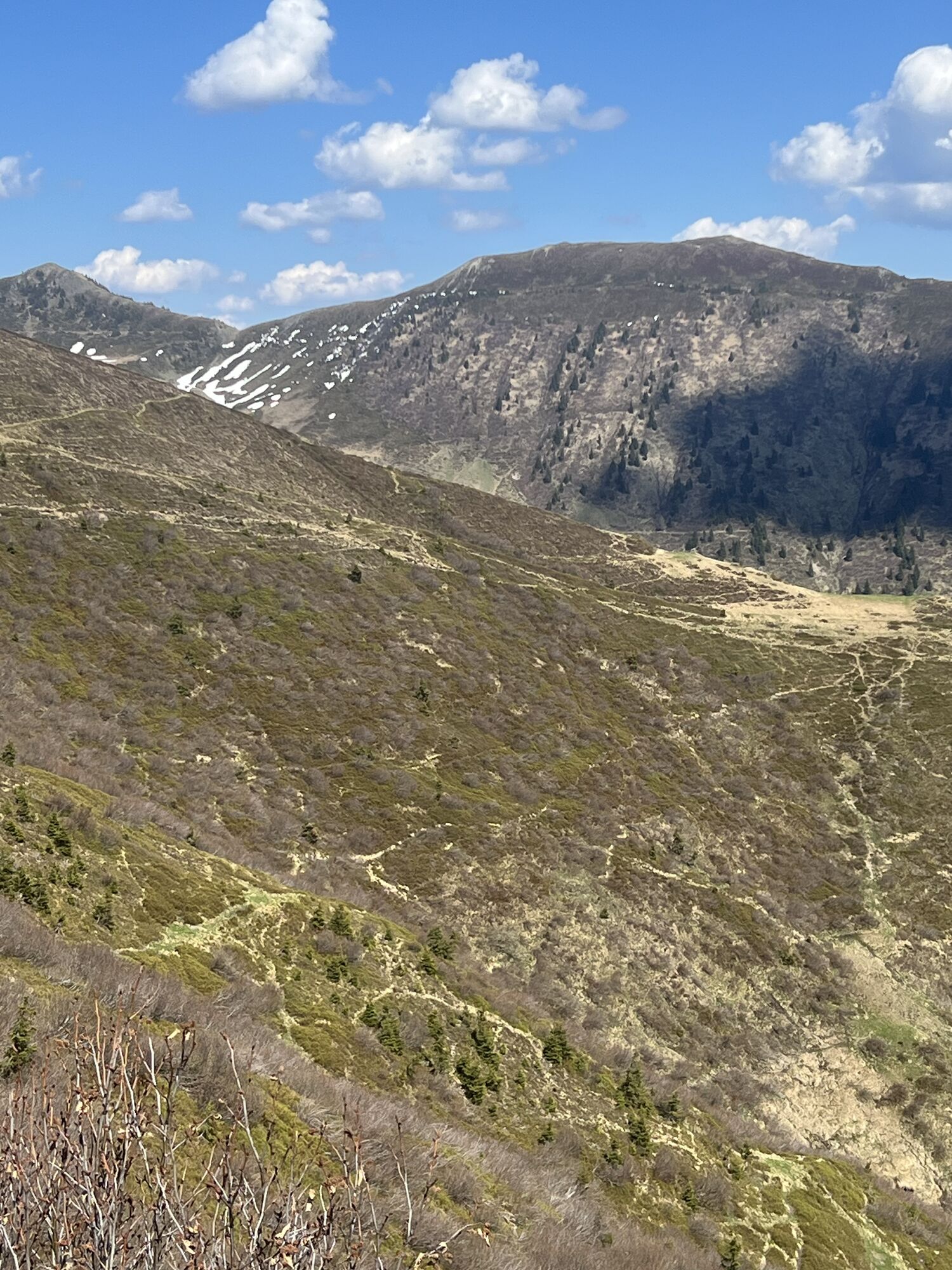
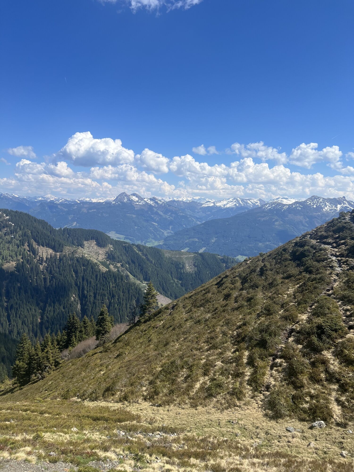
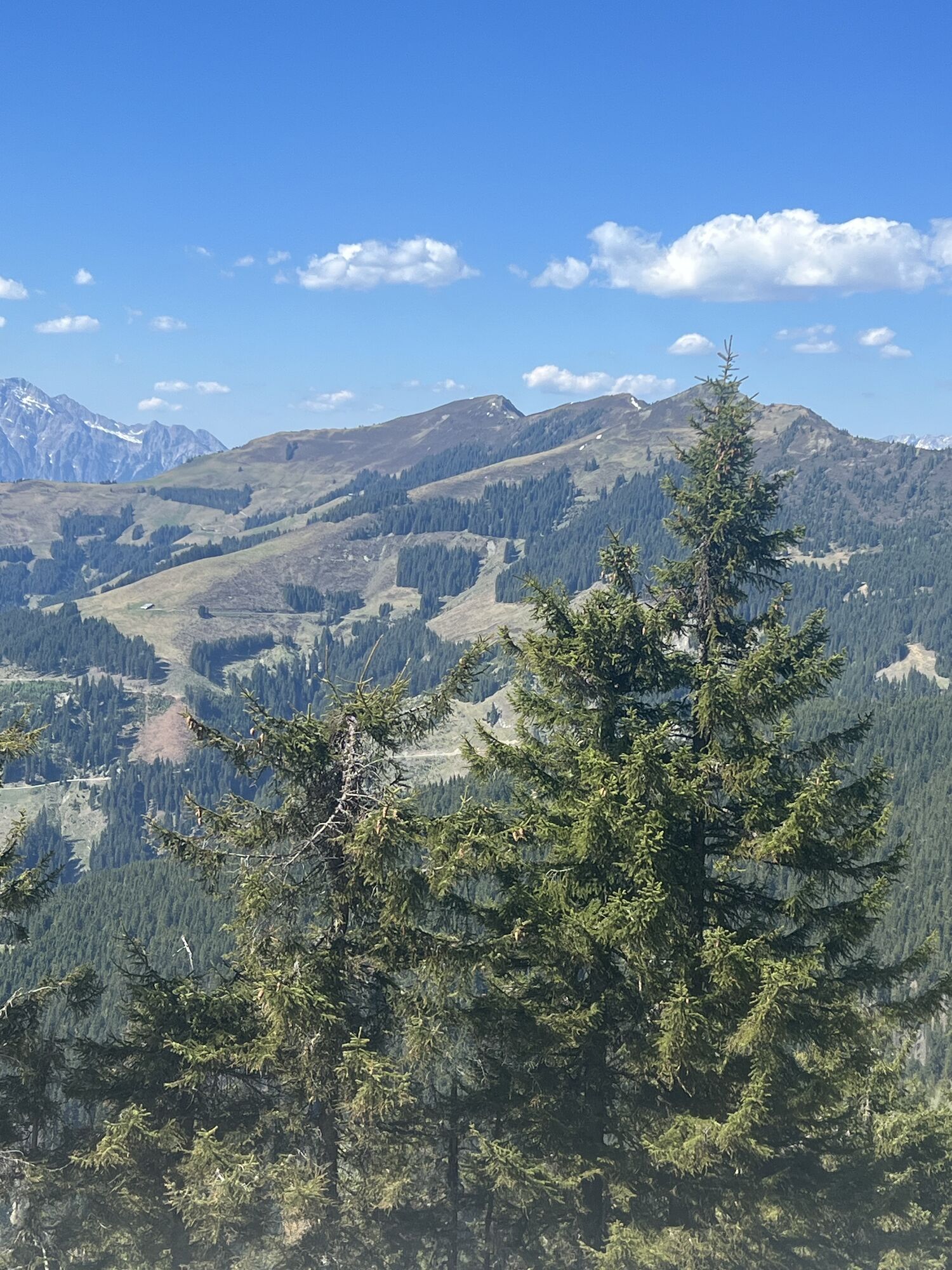
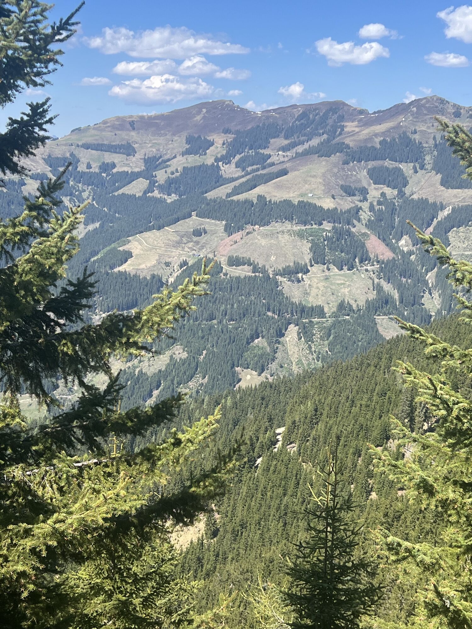
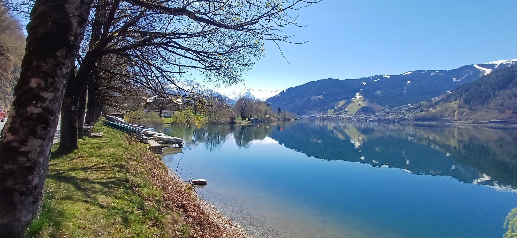
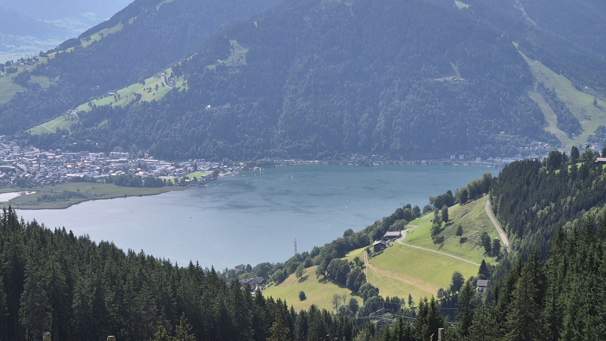
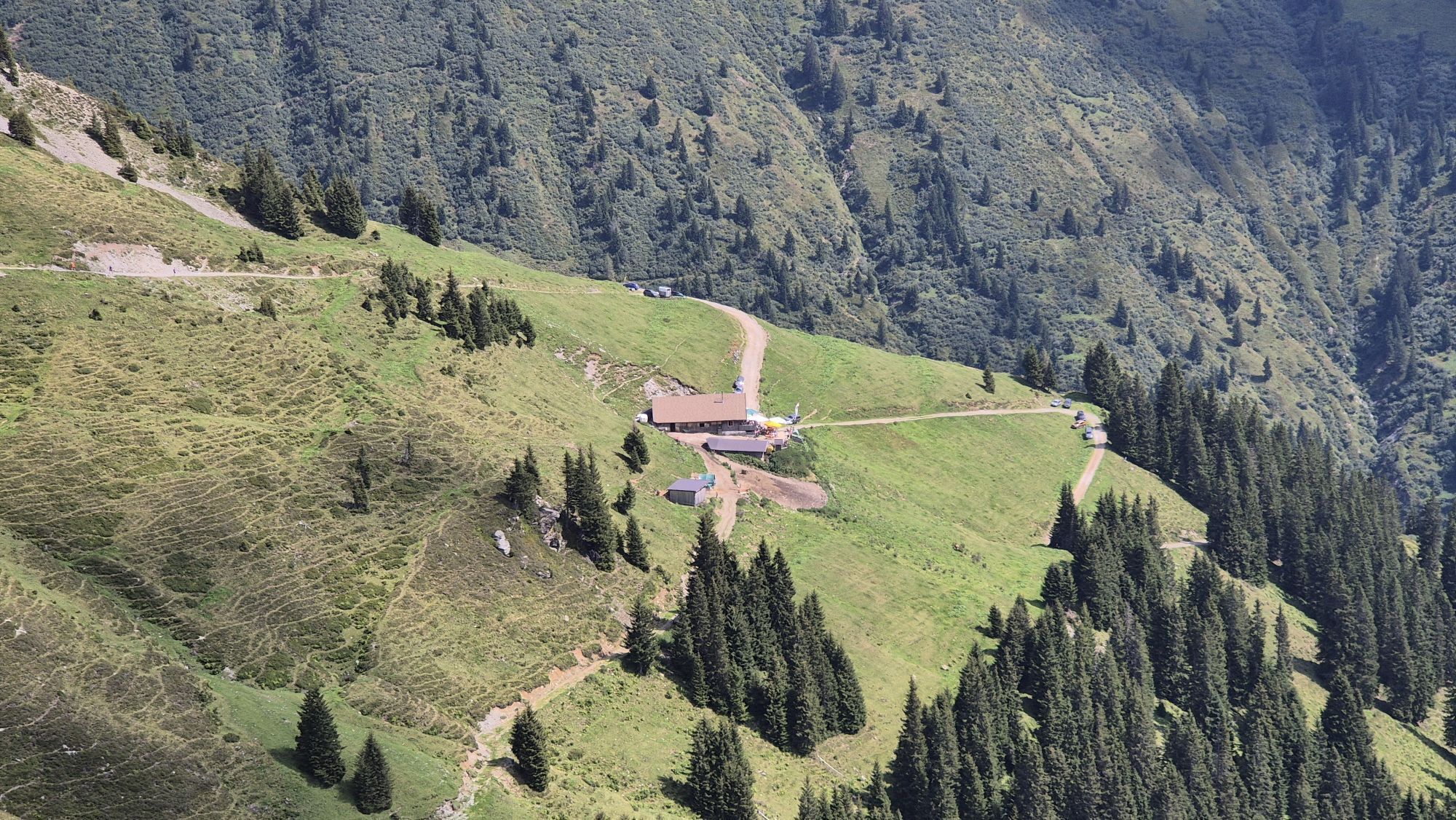
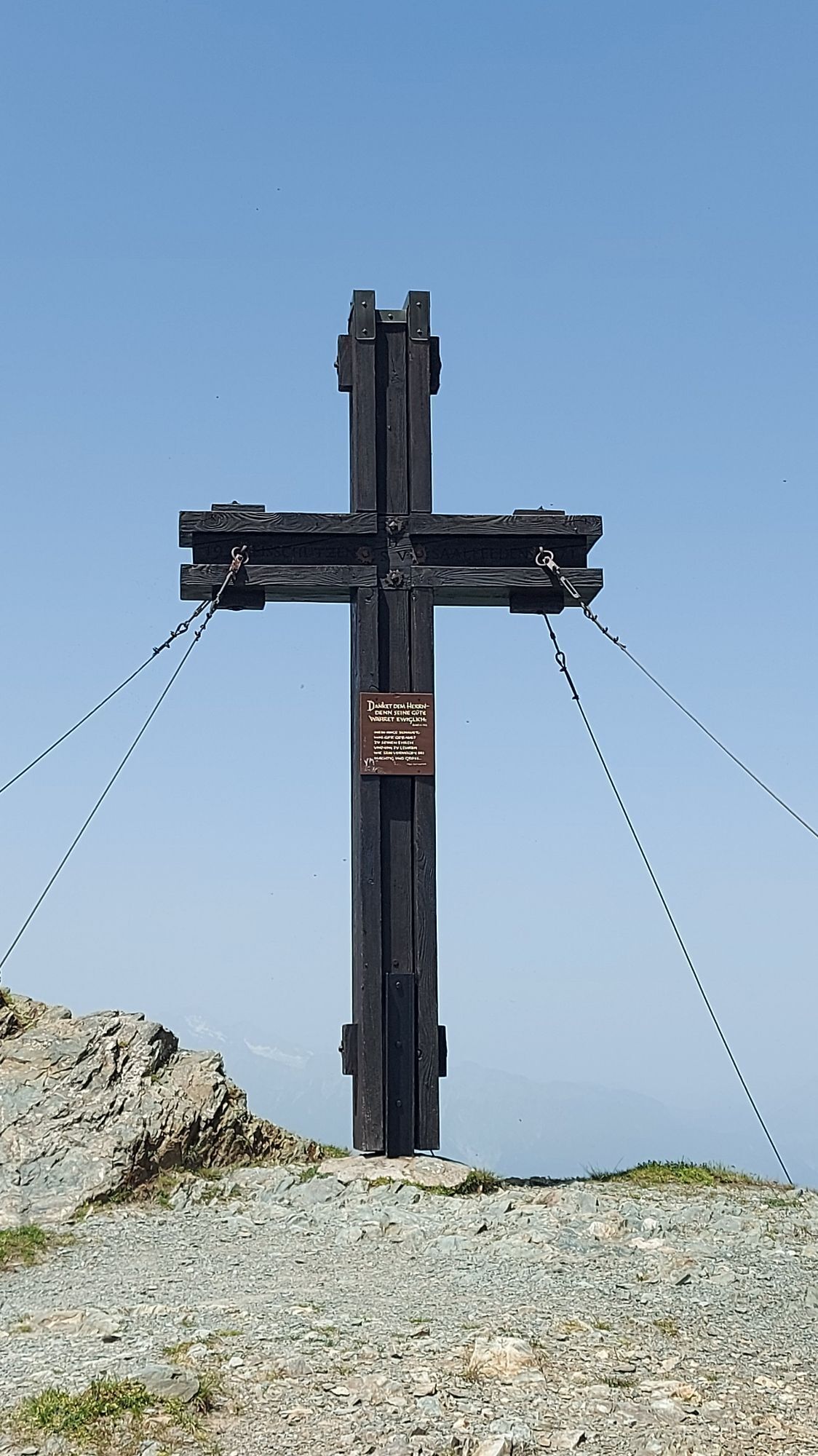
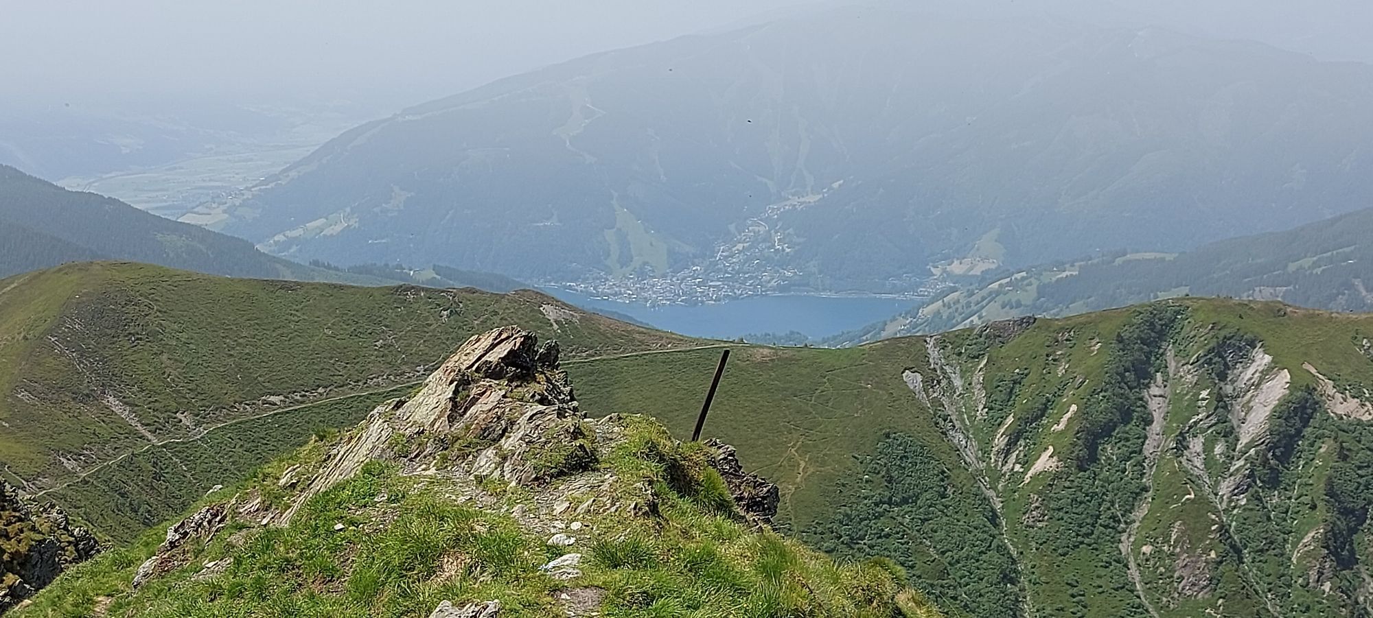
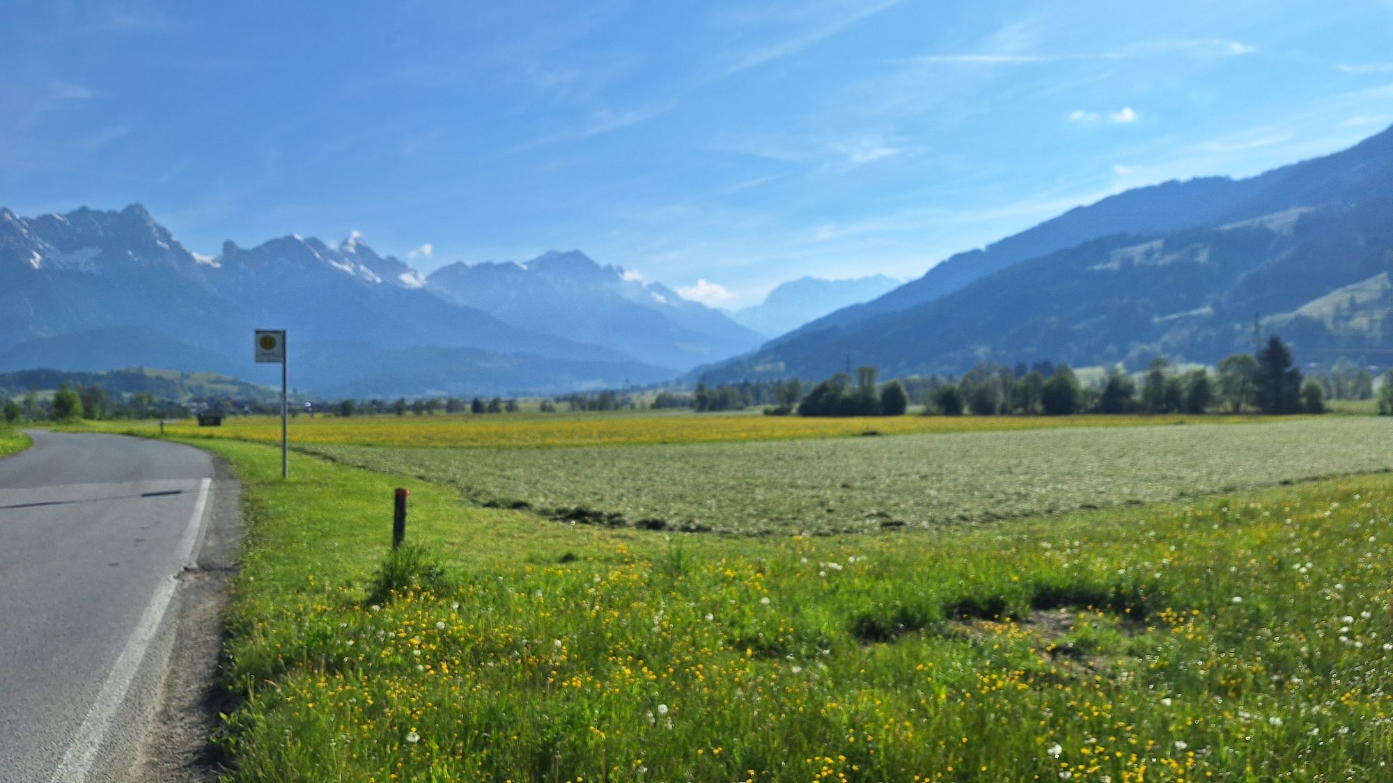
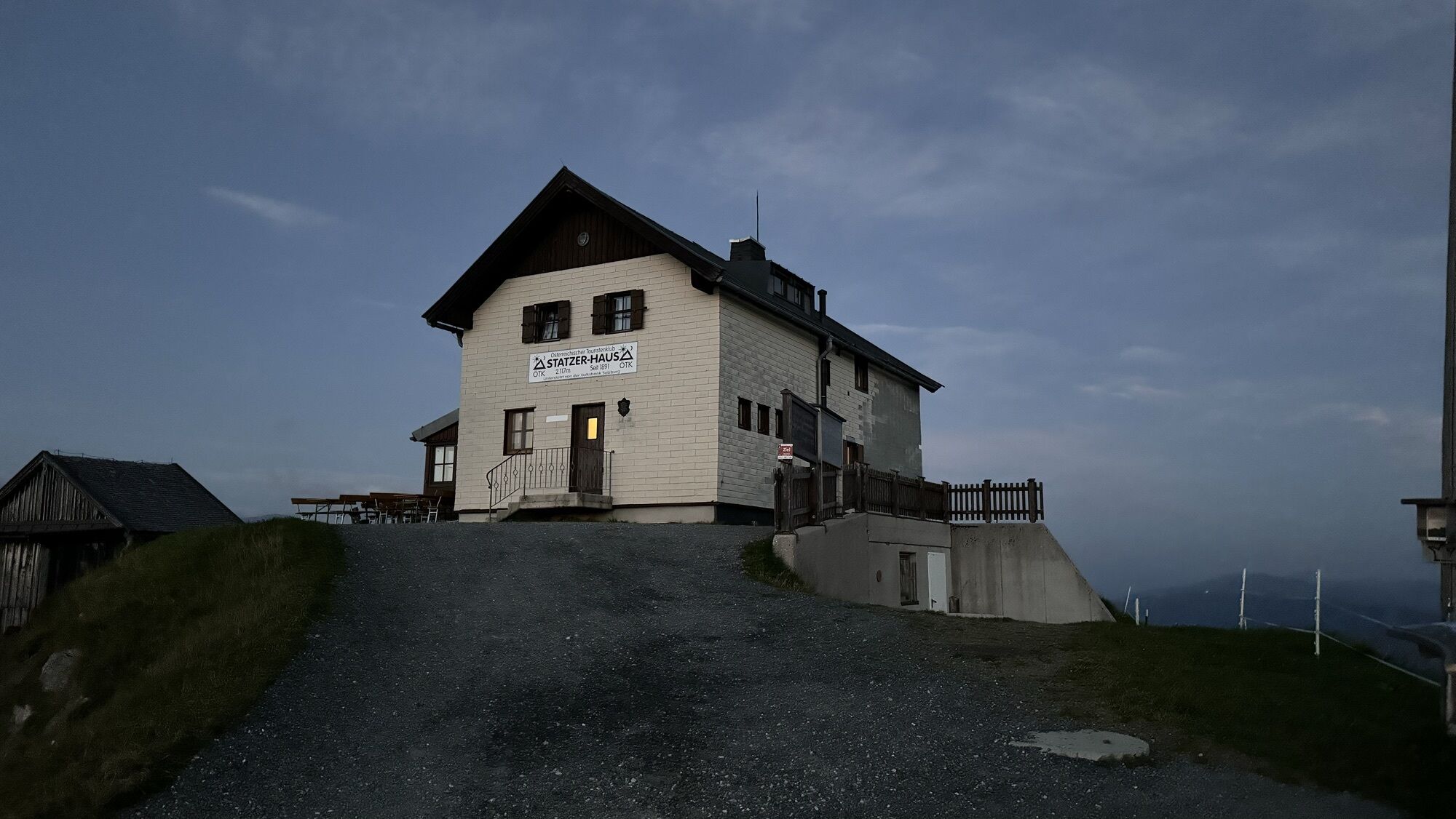
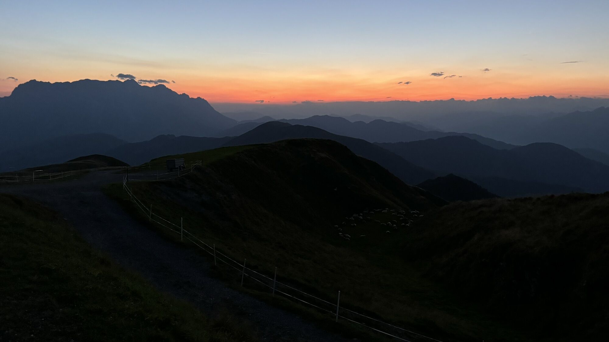
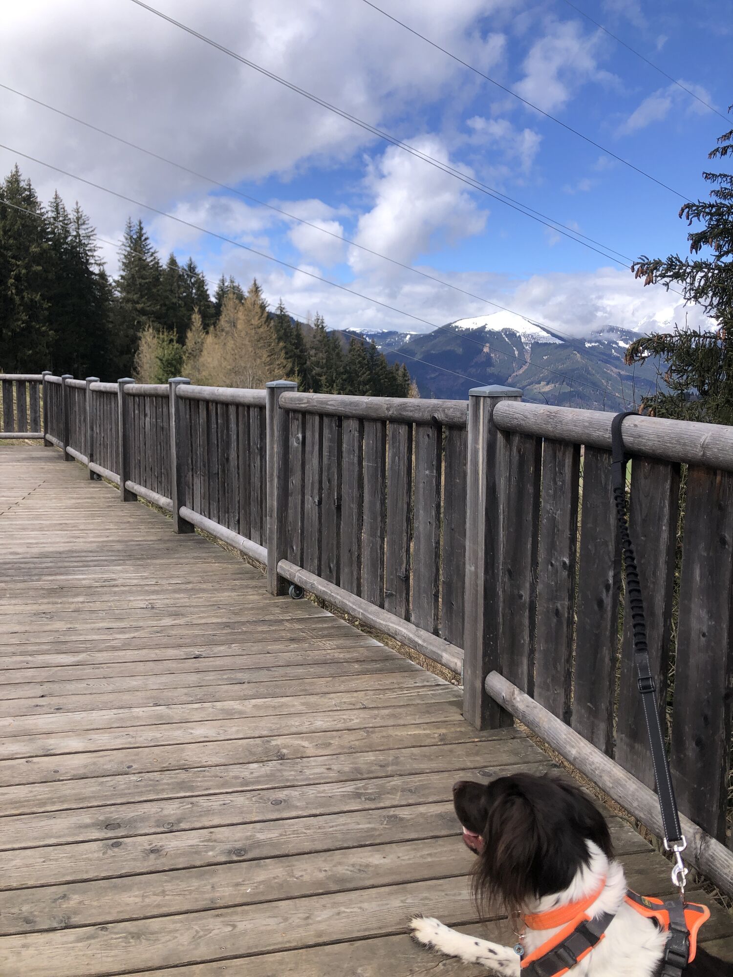
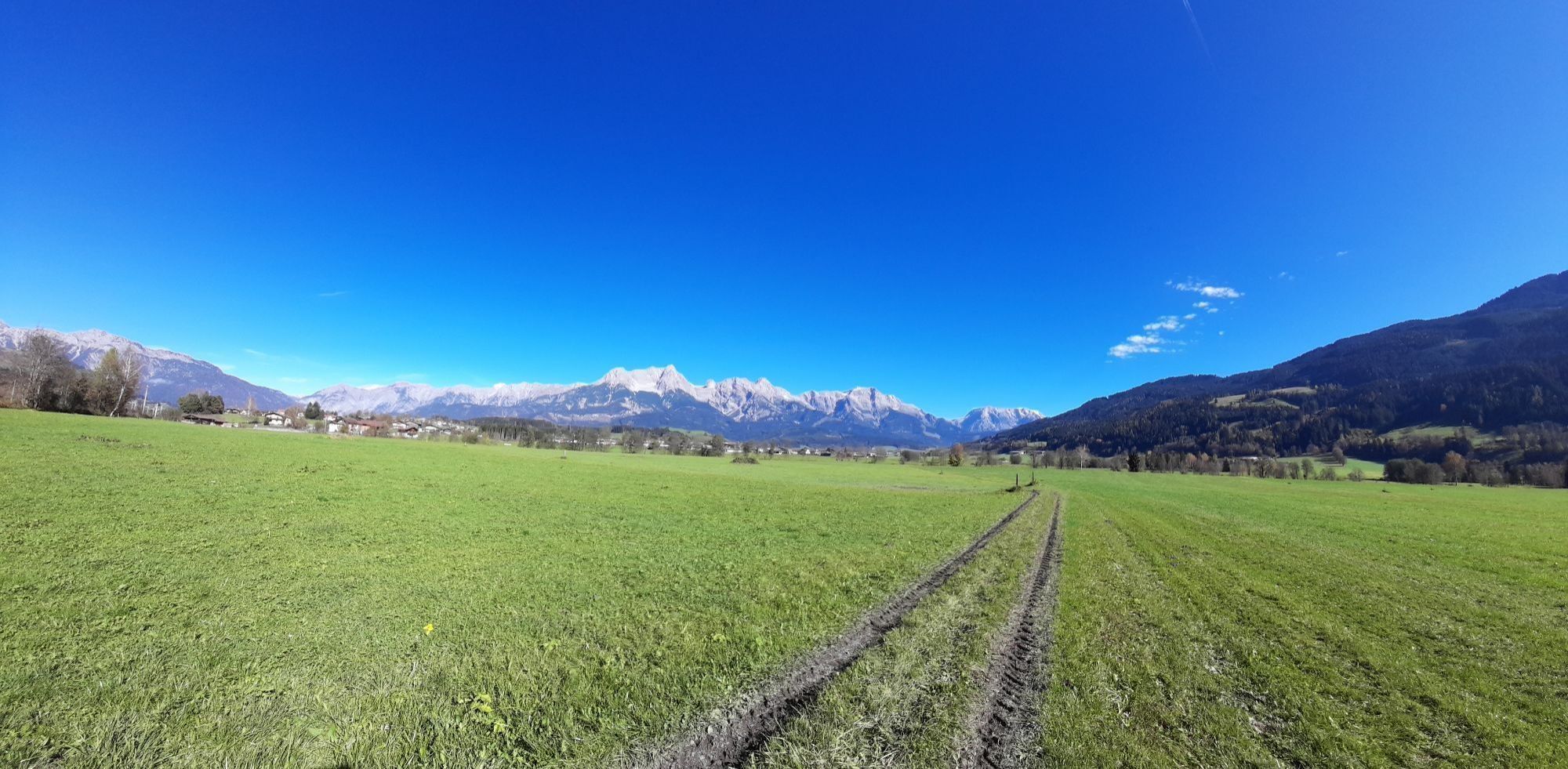
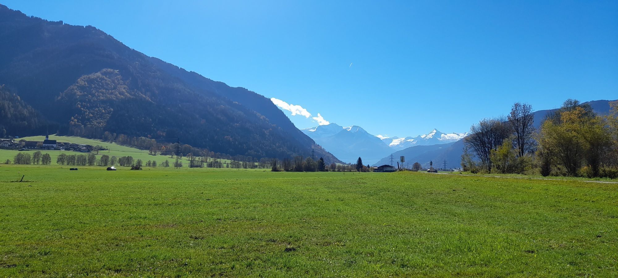
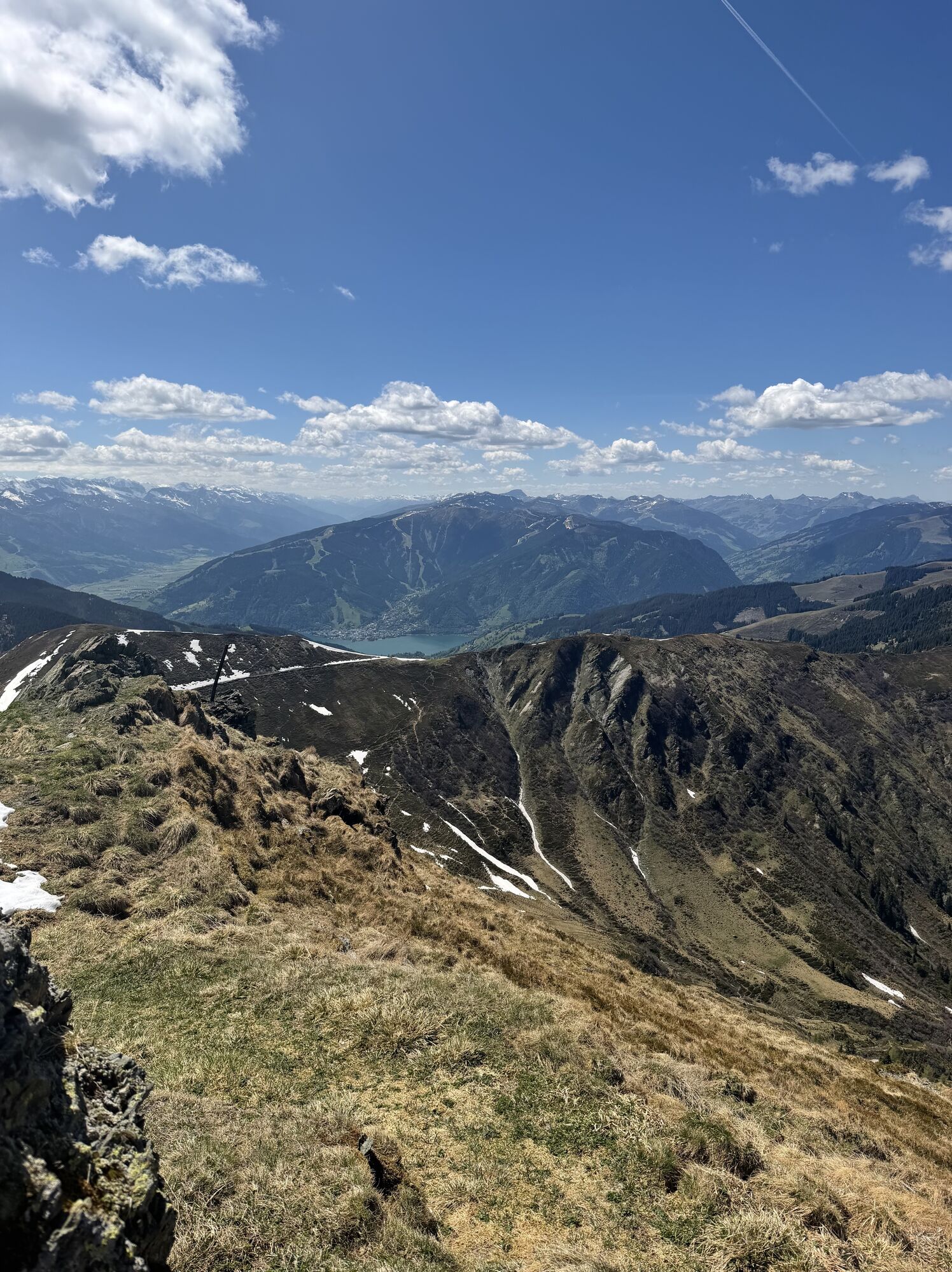
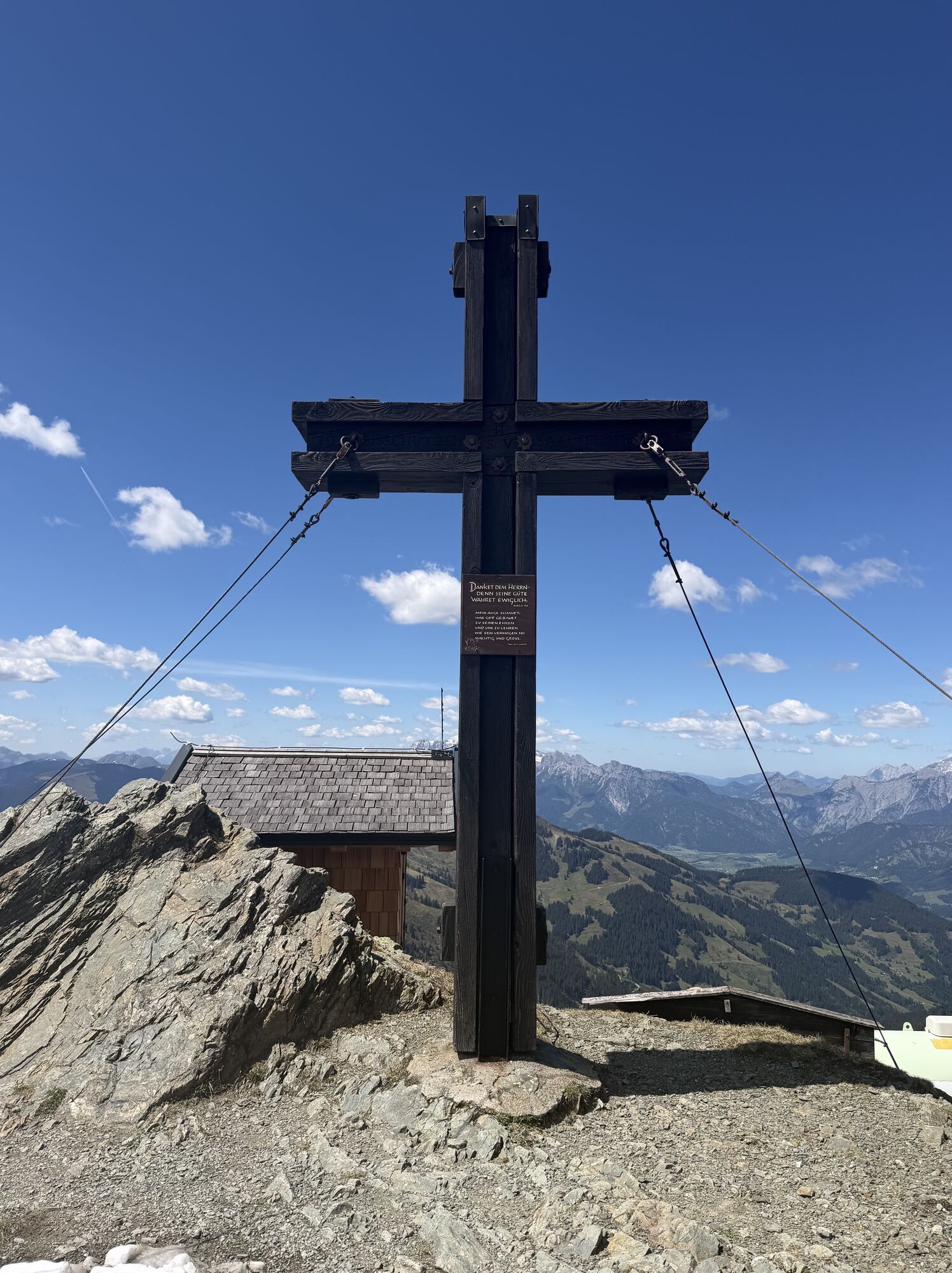
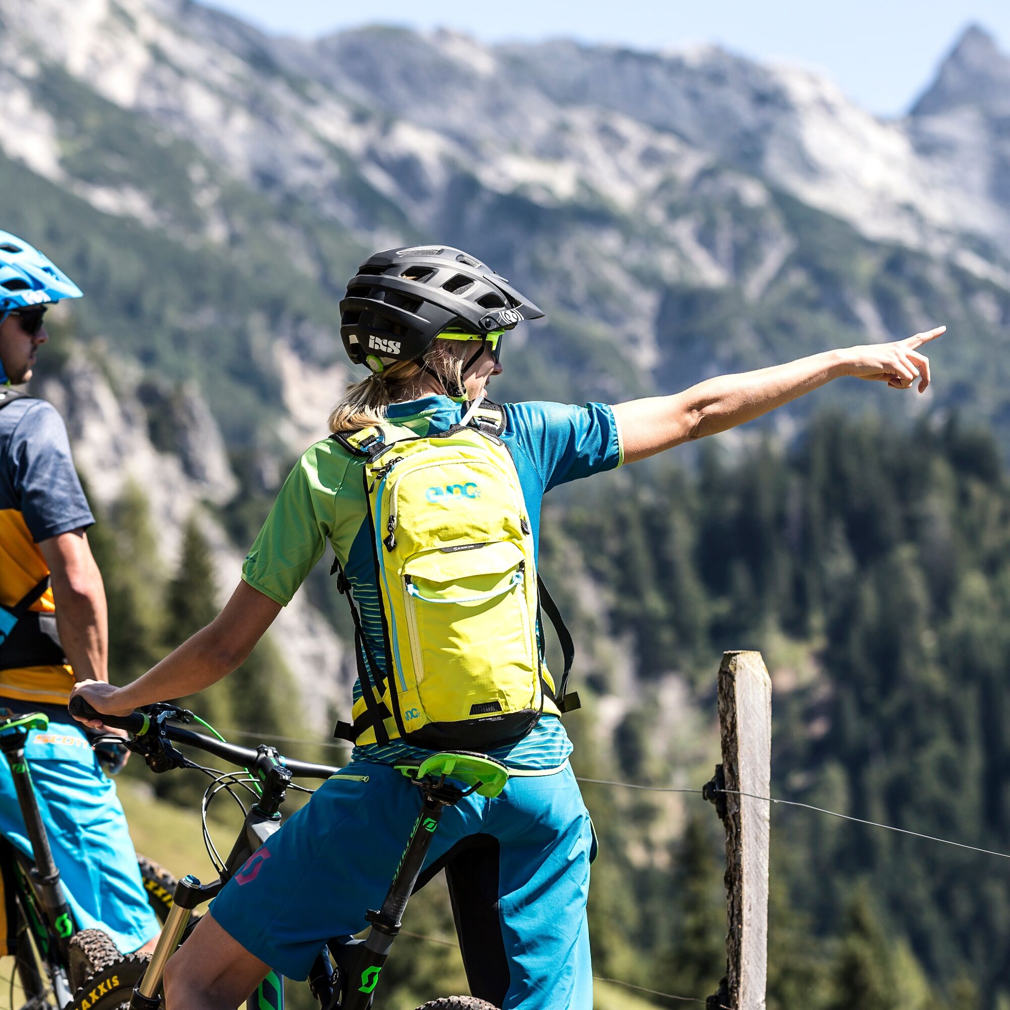
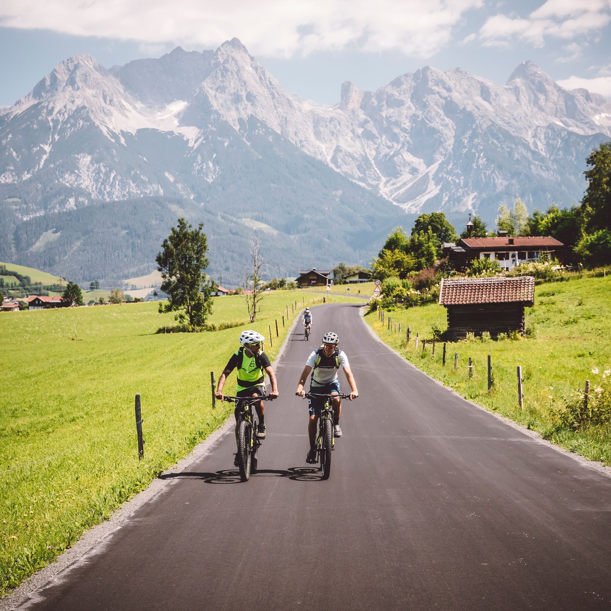
From the city center of Saalfelden, follow the bike path initially in the direction of Zell am See and then along the shore of Lake Zell to Thumersbach. Here begins the long ascent to the summit of the Hundstein. 1,360 meters of altitude must be overcome in one climb. Once at the summit, you can refill your energy reserves at the Statzerhaus and enjoy the unparalleled view before descending back to Thumersbach. Then follow the bike path back to Saalfelden.

From the city center of Saalfelden, follow the bike path initially in the direction of Zell am See and then along the shore of Lake Zell to Thumersbach. Here begins the long ascent to the summit of the Hundstein. 1,360 meters of altitude must be overcome in one climb. Once at the summit, you can refill your energy reserves at the Statzerhaus and enjoy the unparalleled view before descending back to Thumersbach. Then follow the bike path back to Saalfelden.
Ano
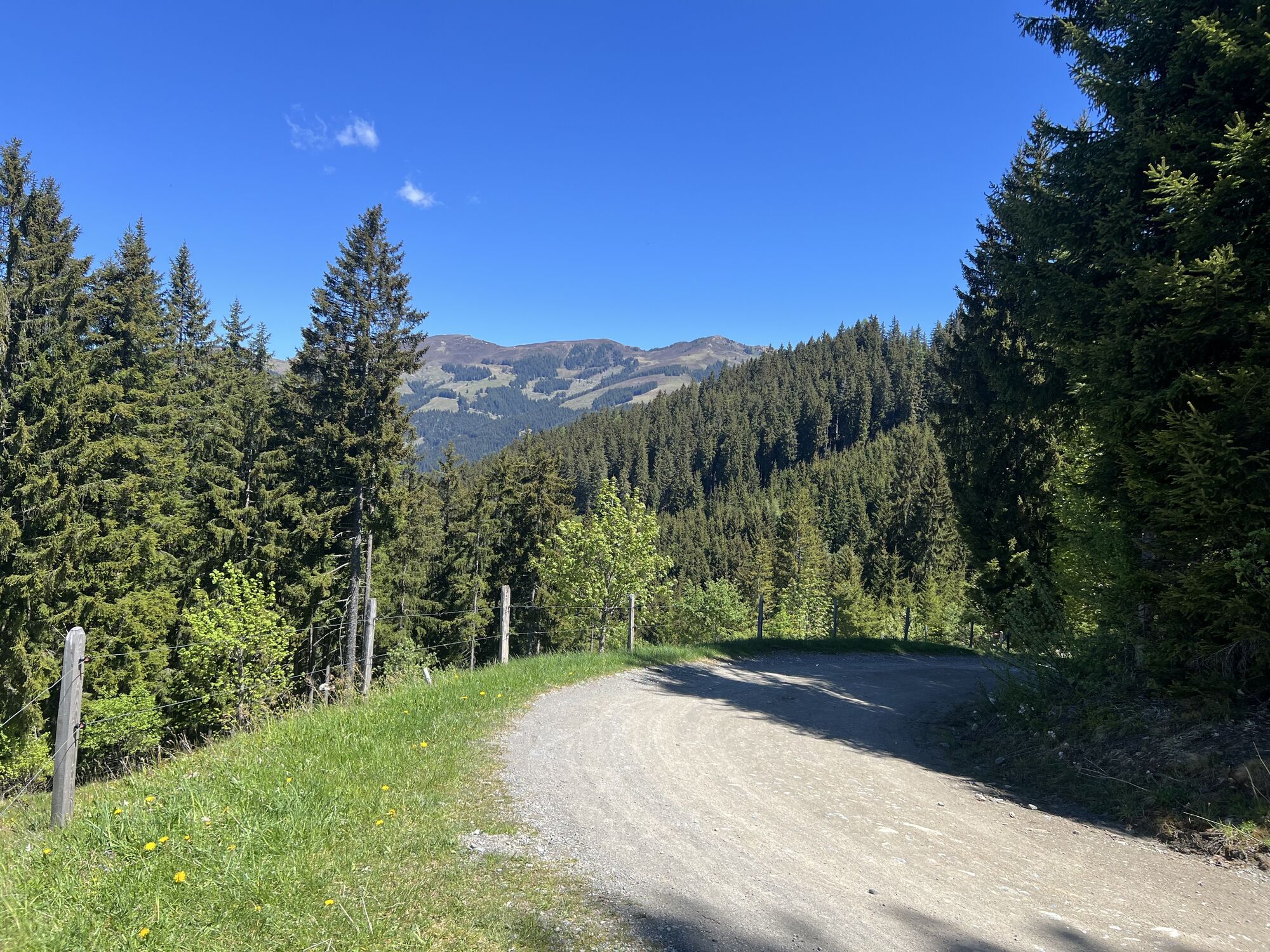
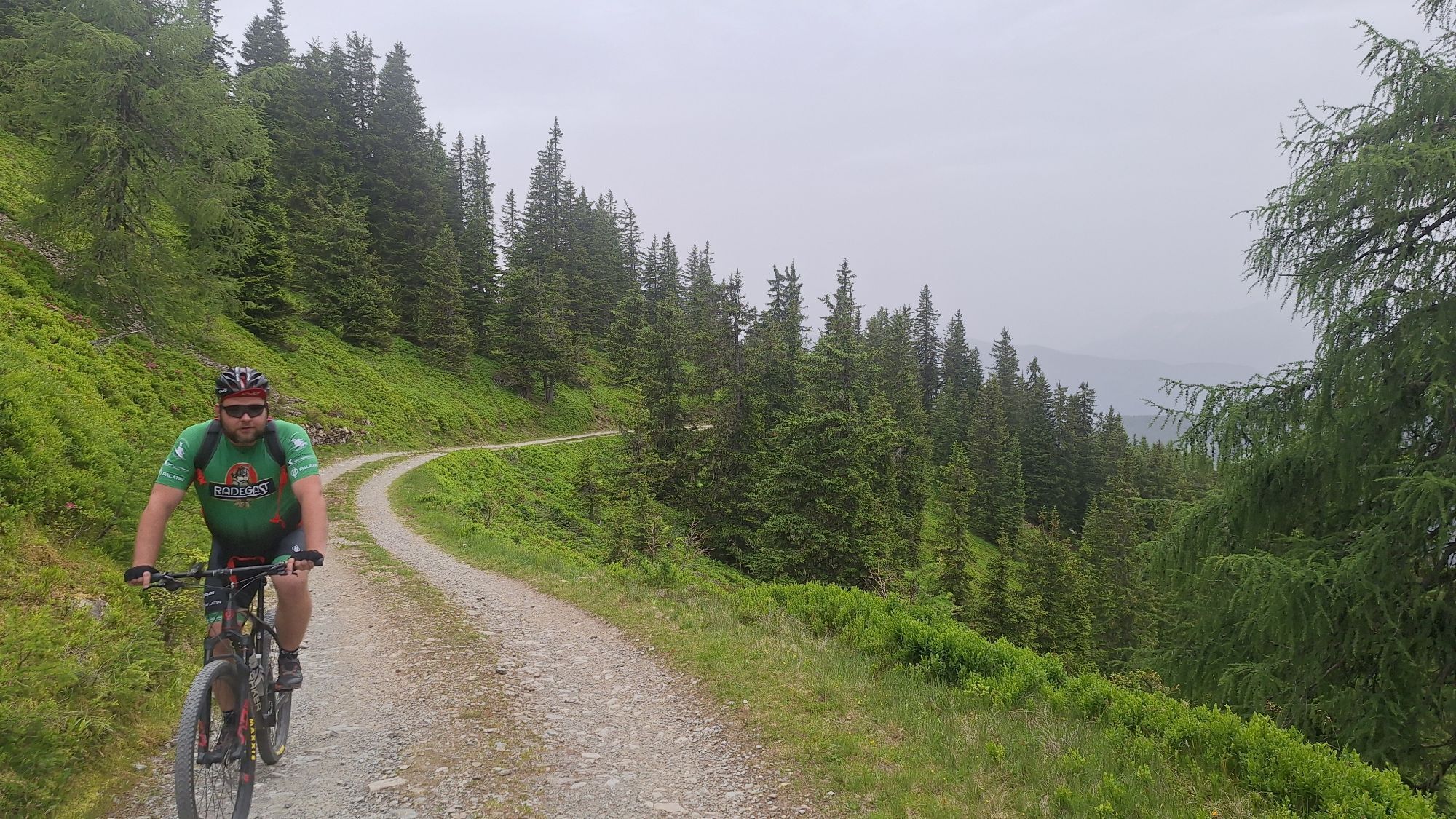
Gravel path
In the city center of Saalfelden, you will find the large parking lot opposite the town hall square (attention: partly short-term parking zone)
BY TRAIN
You can enjoy your holiday from the start by train. No traffic jam will stop you from coming to Saalfelden Leogang! Furthermore, the ÖBB timetable helps you quickly and easily find the ideal train connection to Saalfelden station: www.oebb.at (travel time to the starting point about 5 minutes)
Large parking lot Saalfelden
By the way, the Hundstein can also be approached from Maria Alm – the key data of the route is almost identical (see Hundstein Tour - Variant 2)!
Webové kamery z prohlídky
Aberg - Bergstation
Sonnkogel
Schmittenhöhe
Mitterberg bei Thumersbach
Sommerrodelbahn
Zell am See / Hotel Berner
Zell am See
Saalfelden
Thumersbach
Sommerrodelbahn
Sommerrodelbahn
Sommerrodelbahn
Sommerrodelbahn
Sommerrodelbahn
Maishofen Sausteige
Maishofen - Schloss Kammer
Peter Wiechenthaler Hütte
Maishofen Dorfplatz
Hoferbichlgut
Hinterreit - Saalfelden
Saalfelden - Obermühlhof
Maria Alm - "die Hochkönigin"
Oblíbené prohlídky v okolí
- 4,8
Summit stormer route Lauskopf
heavyTuristika 8,16 km - 4,2
Maria Alm - Riemannhaus
Turistika 3,99 km - 4,6
Steinalm
světloTuristika 2,71 km - 4,2
Schwalbenwand Nr. 80, 81, 82
středníTuristika 13,0 km - 4,8
Sigmund Thun Klamm, Klammsee, Bürgkogel
světloTuristika 4,56 km - 4,3
Peter-Wiechenthaler Hut
středníTuristika 4,32 km - 4,4
Alpine and hut hike "Hochmaisalm & Steinbockalm"
středníTuristika 8,10 km - 4,1
Passauer Hütte
heavyTuristika 4,14 km - 5,0
Schönfeldspitze 12.08.2020
heavyVysokohorská turistika 15,3 km - 4,5
Sigmund Thun Klamm
světloTuristika 3,10 km

Pěší turistika a stopování


Nenechte si ujít nabídky a inspiraci pro vaši příští dovolenou
Vaše e-mailová adresa byl přidán do poštovního seznamu.