
Feuersang von Bad Gastein
heavy
Pořiďte si tuto prohlídku do mobilního telefonu
Feuersang von Bad Gastein
heavy
Vysokohorská turistika
12.83
km
Naskenujte QR kód a spusťte navigaci v aplikaci bergfex.


Pěší turistika a stopování





Feuersang von Bad Gastein
heavy
Vzdálenost
12.8
km
Doba trvání
03:13
h
Ascent
443
hm
Hladina moře
1043 -
2469
m

Navigujte po trase v aplikaci
Nainstalujte si aplikaci zdarma a mějte trasu vždy na očích díky GPS navigaci a sledování polohy.
Využijte nyní službu „ bergfex “ v aplikaci
Naskenuj QR kód pomocí fotoaparátu
Jakmile je aplikace nainstalována, obsah se otevře přímo. Pokud aplikaci ještě nemáš, budeš přesměrován na stránku, kde si ji můžeš zdarma stáhnout.
Stažení skladby
Feuersang von Bad Gastein
heavy
Vysokohorská turistika
12.83
km
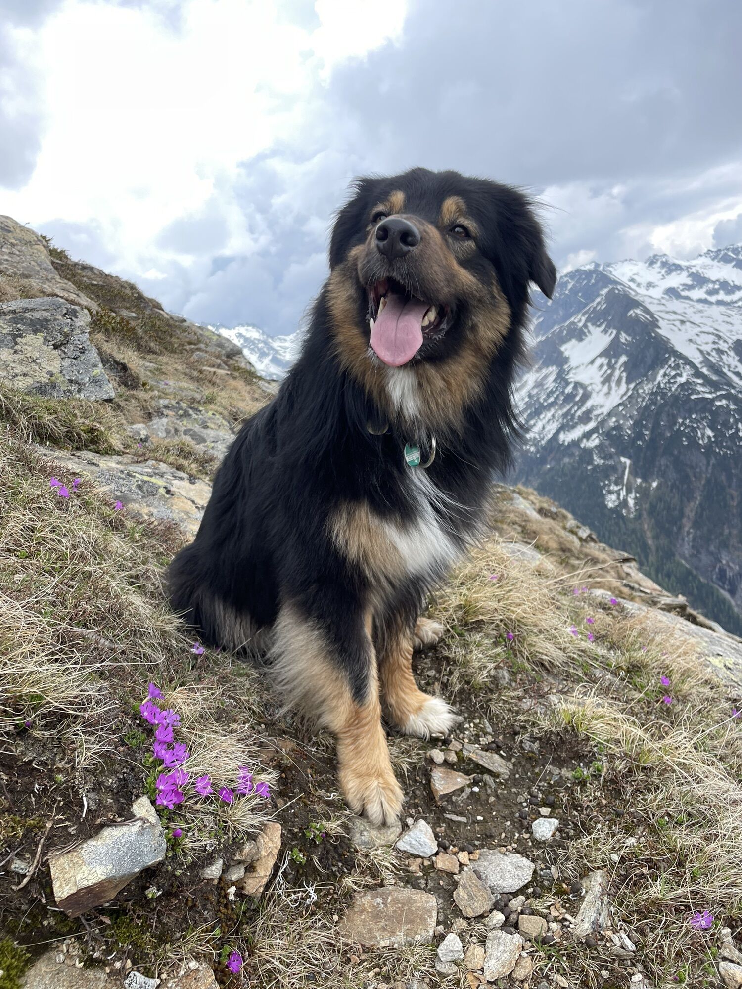
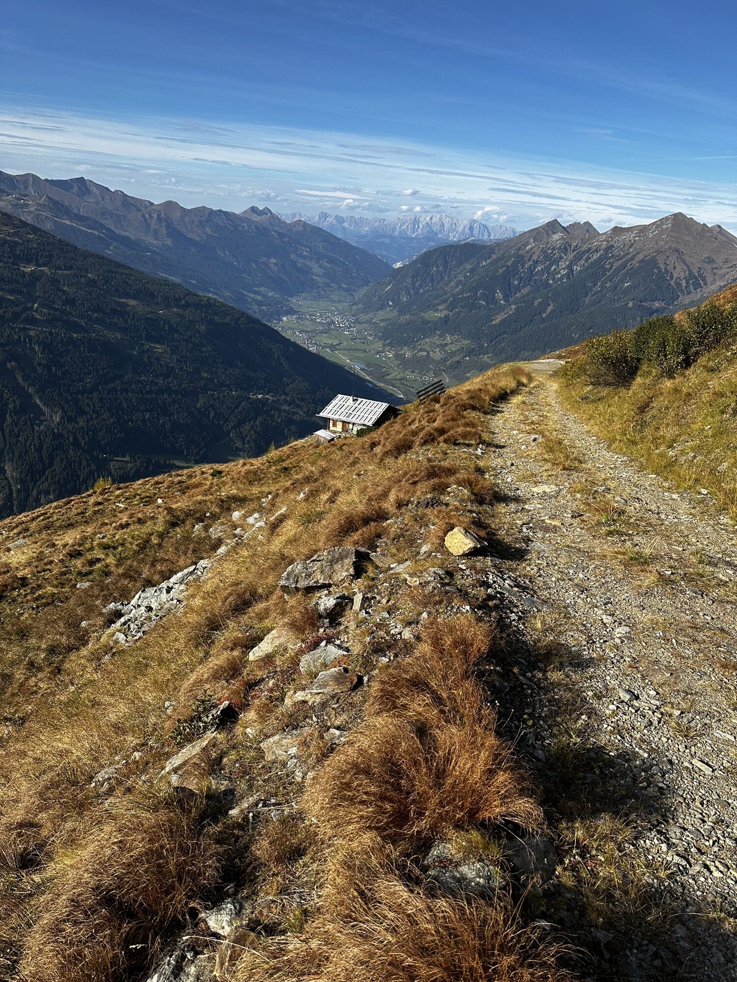
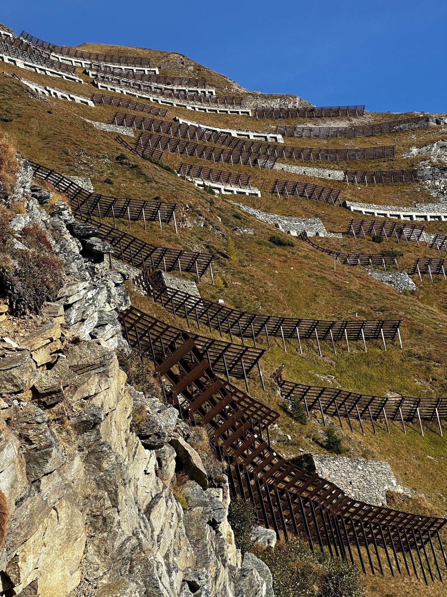
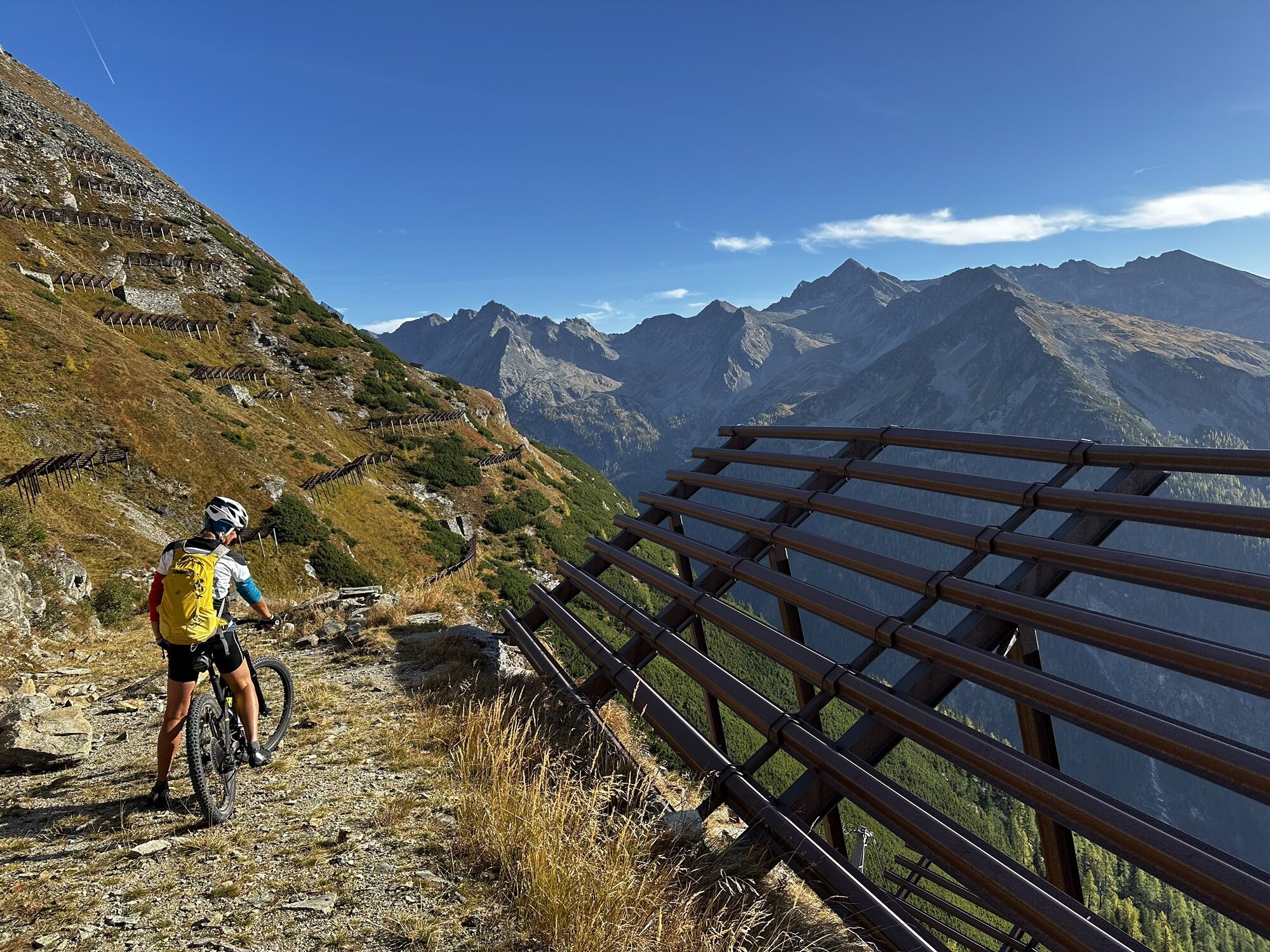
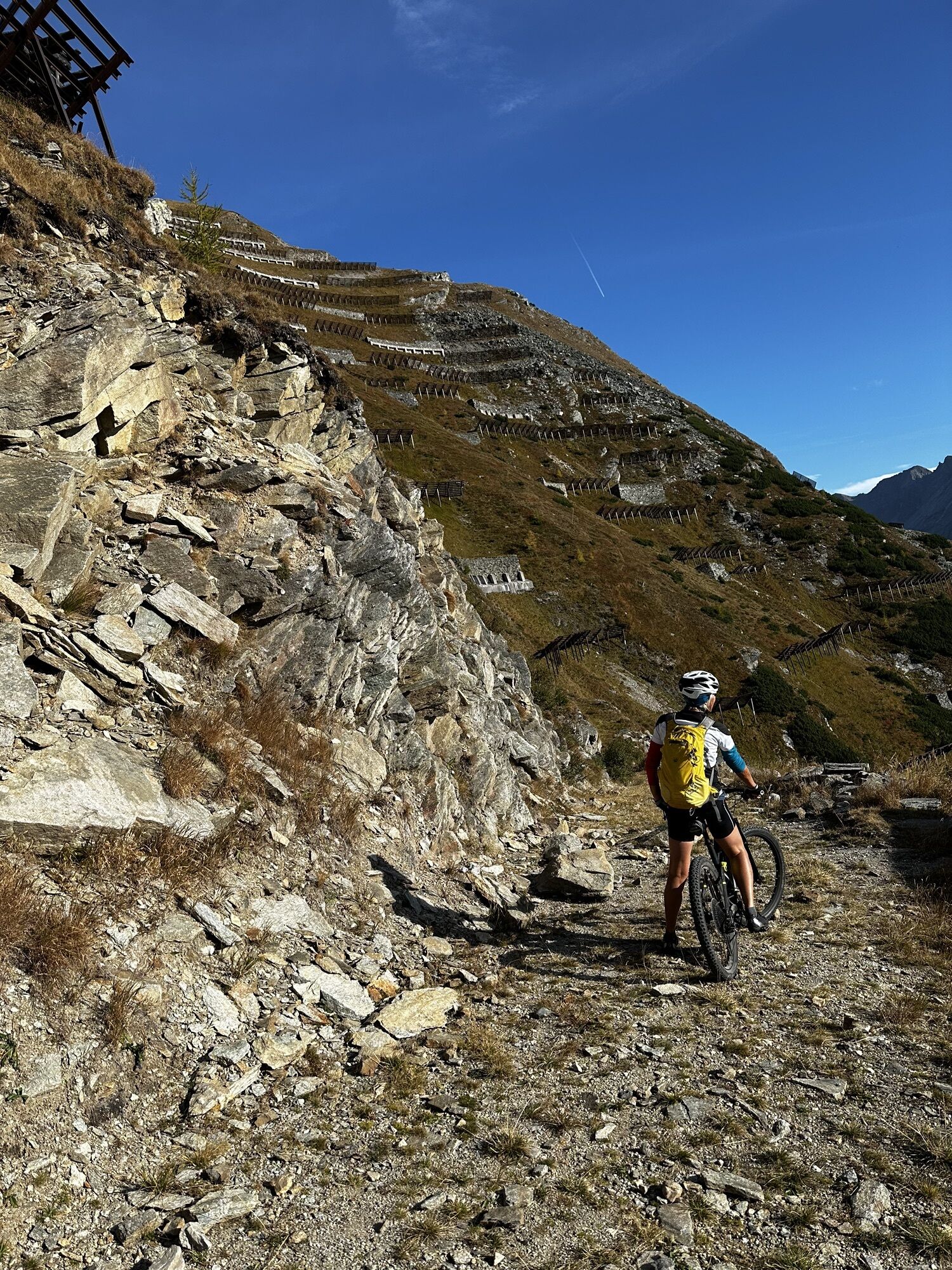
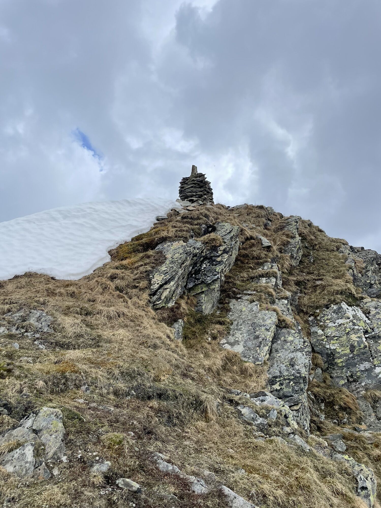
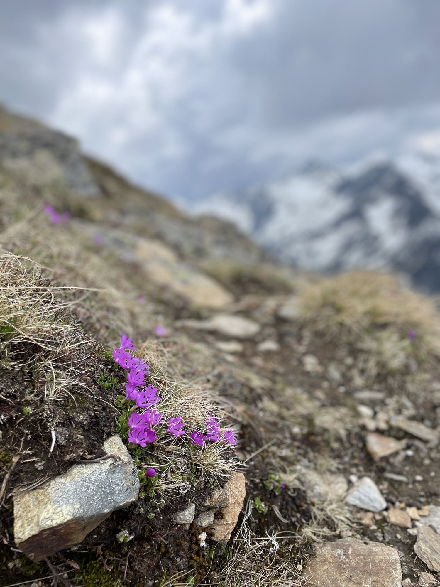
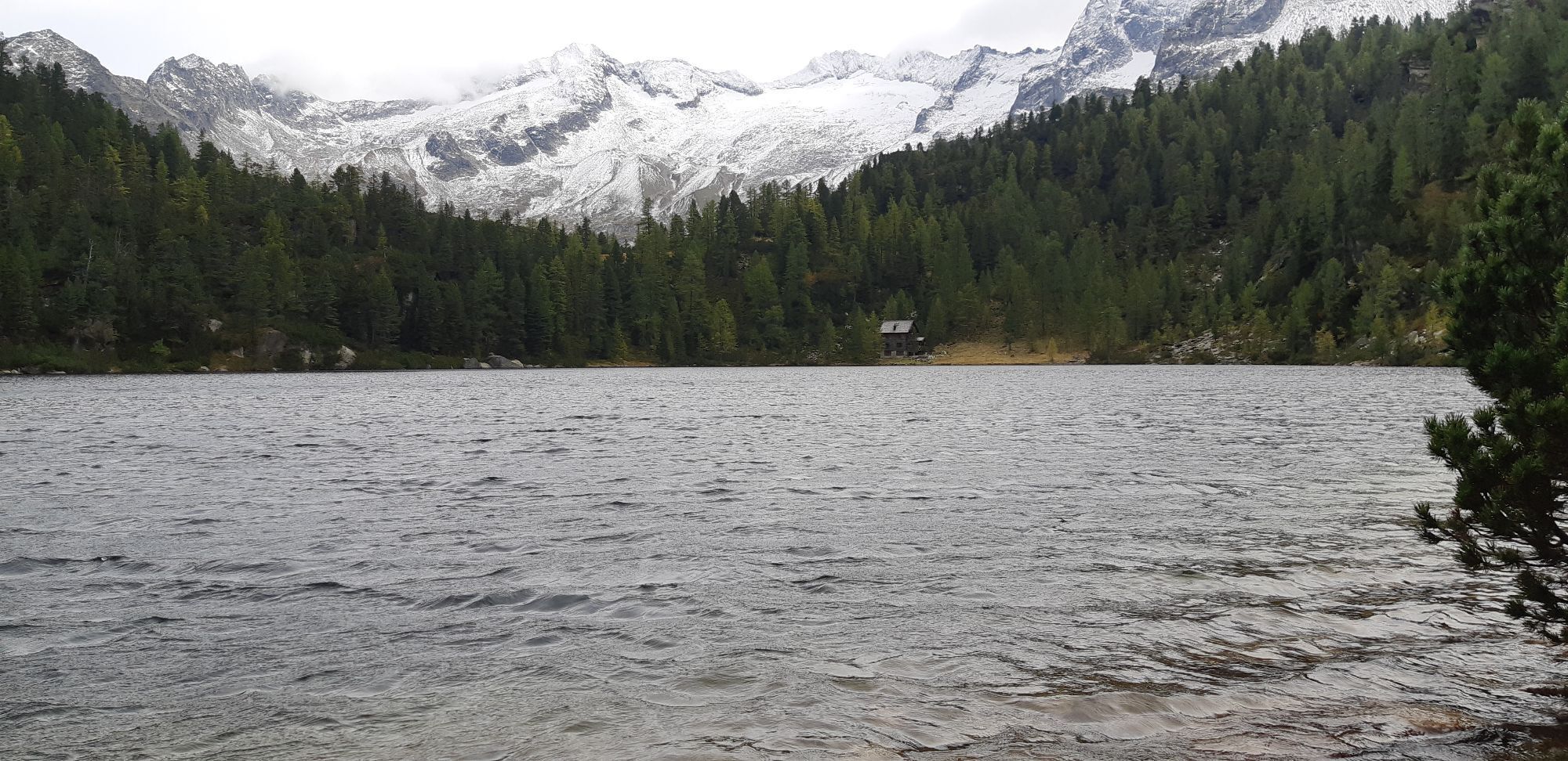
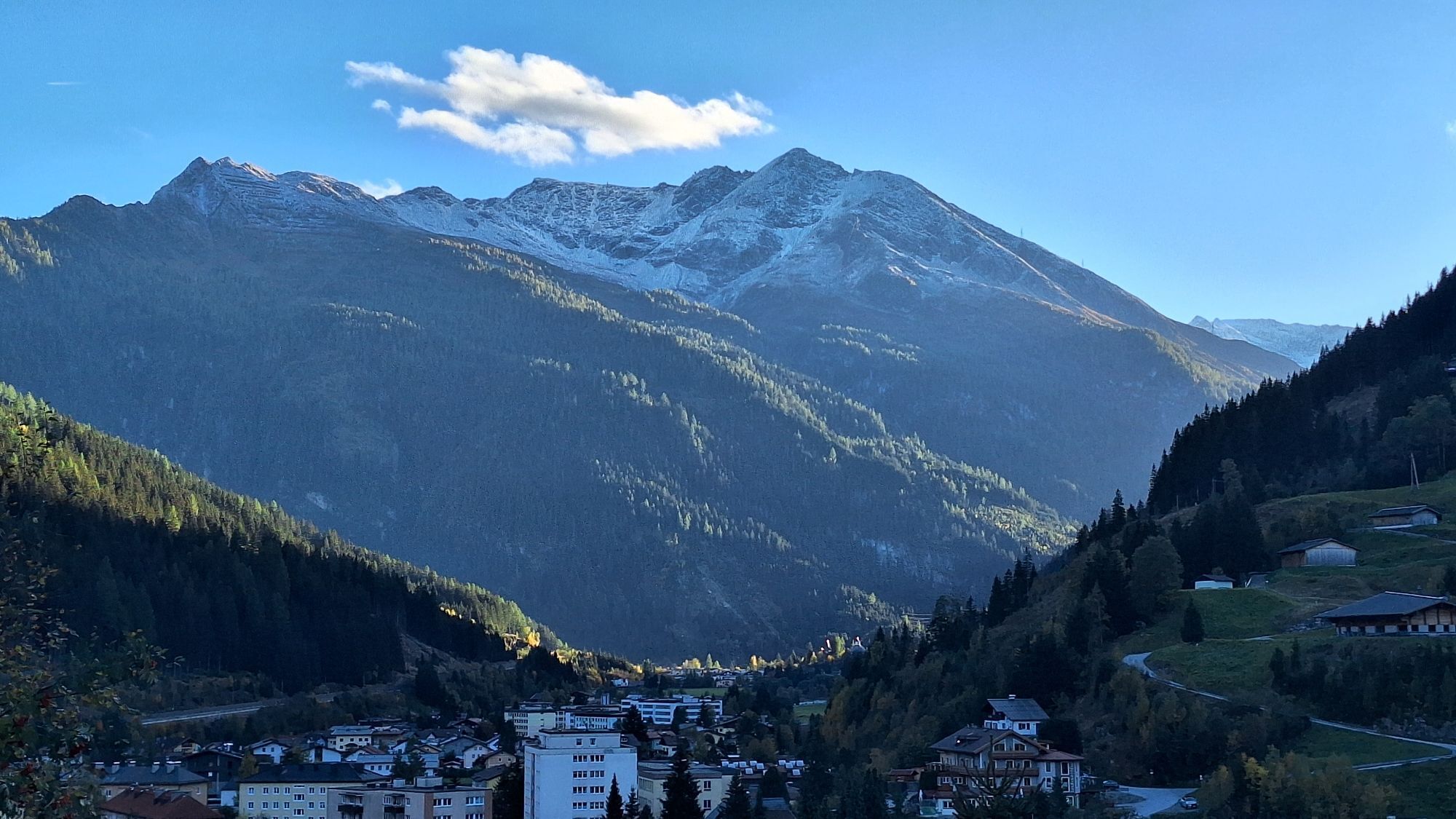
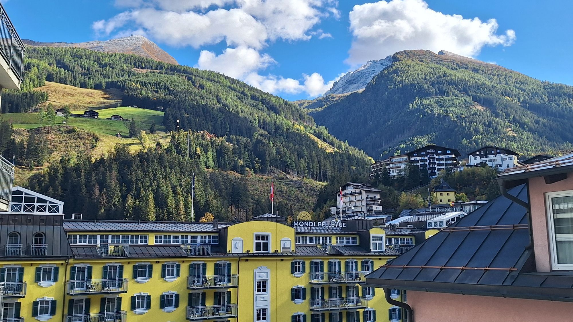
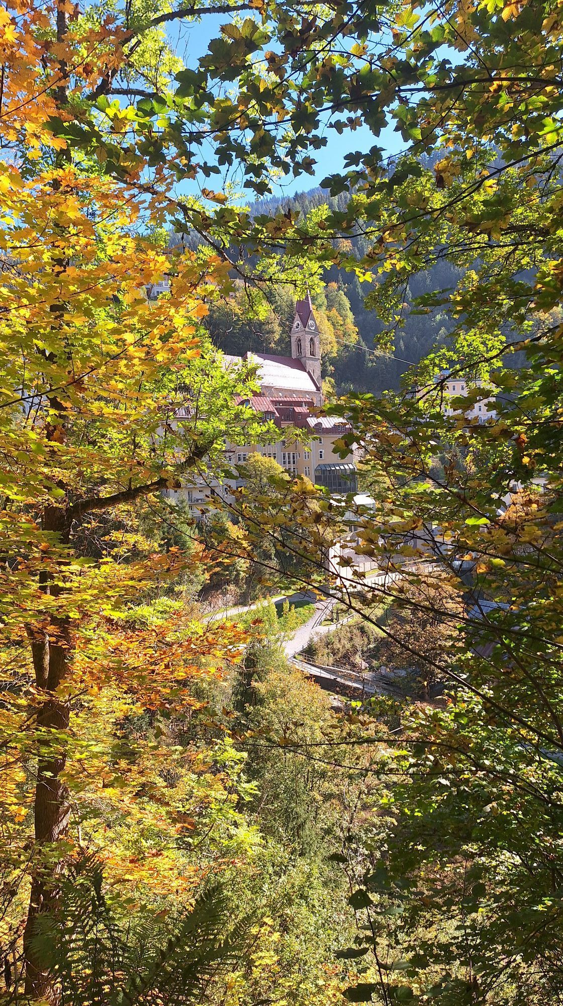
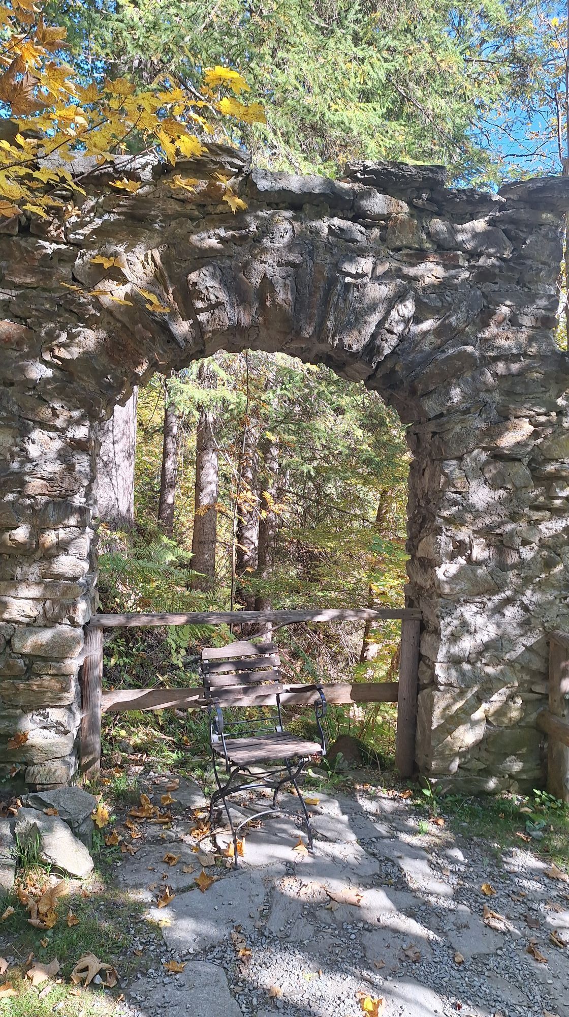
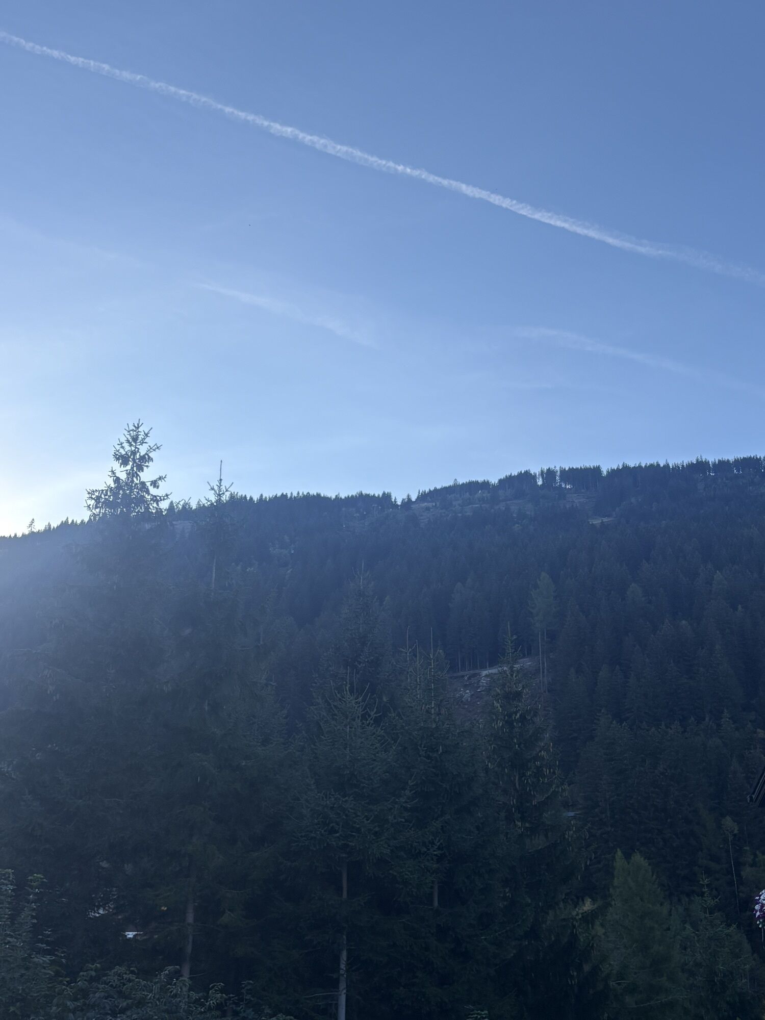
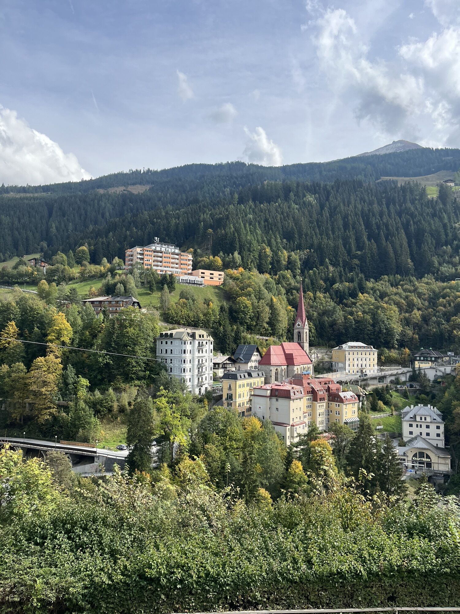
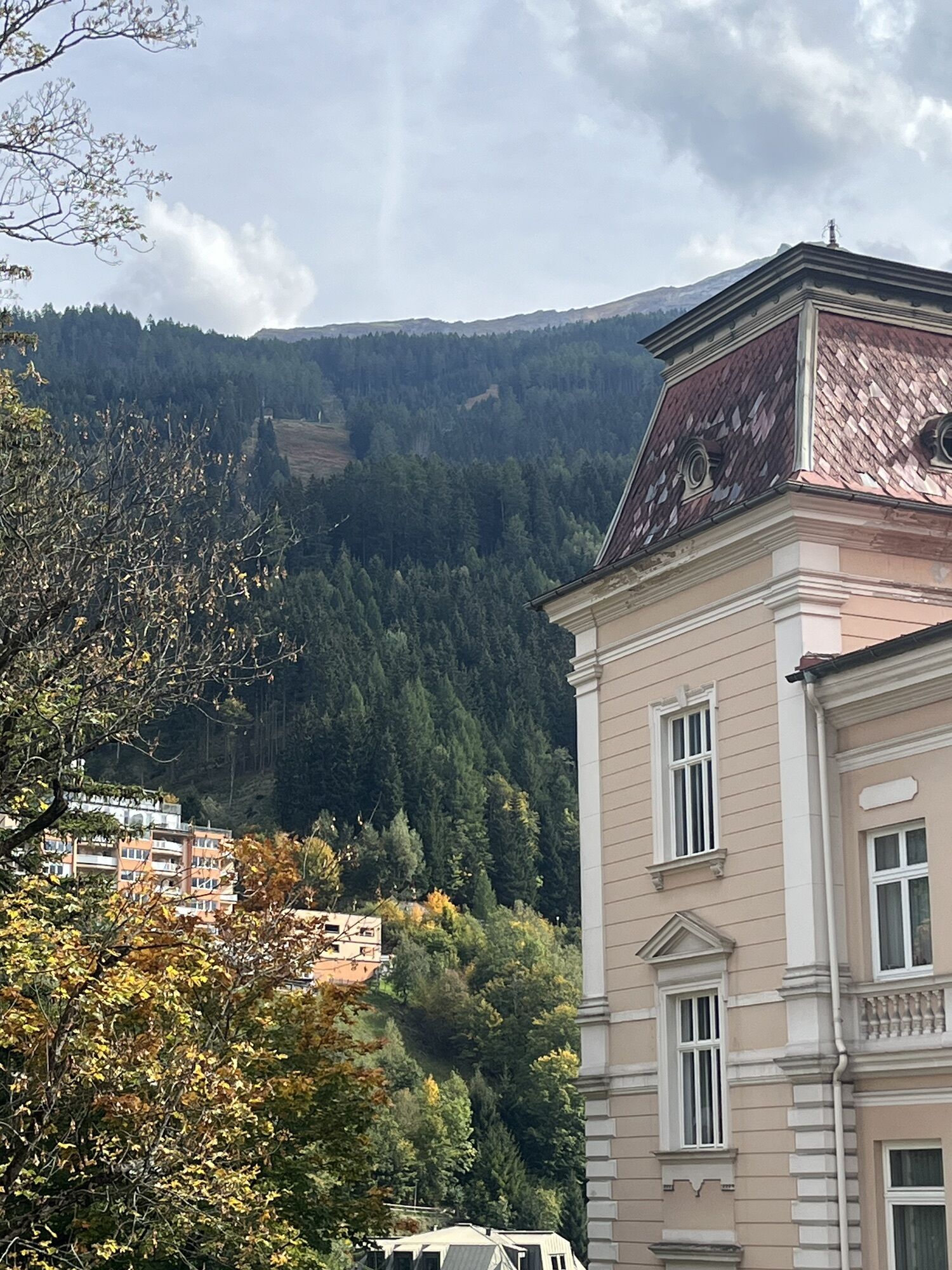
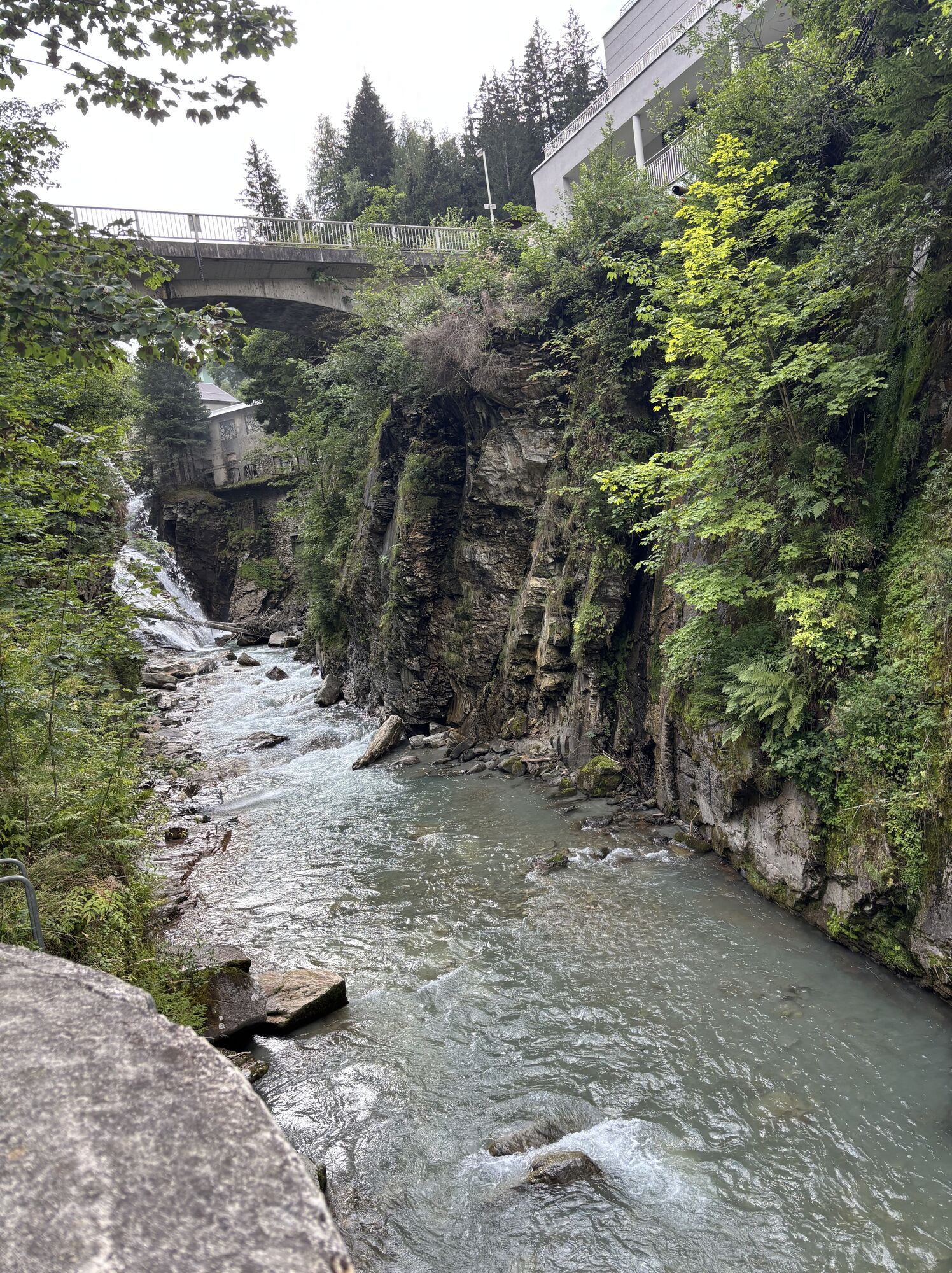
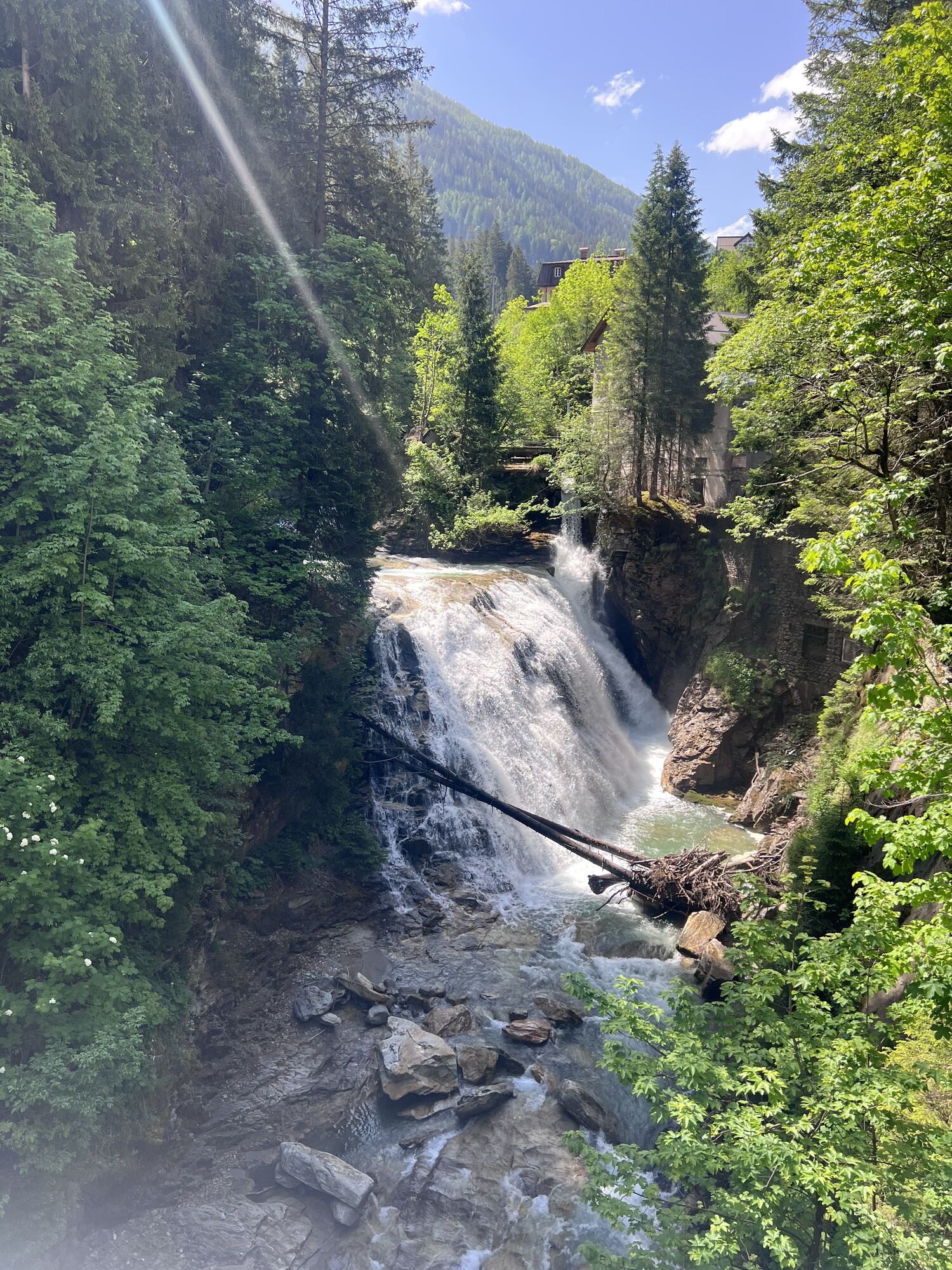
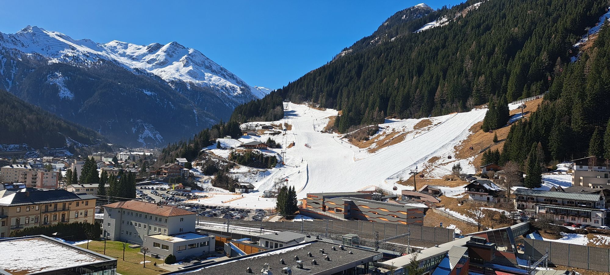
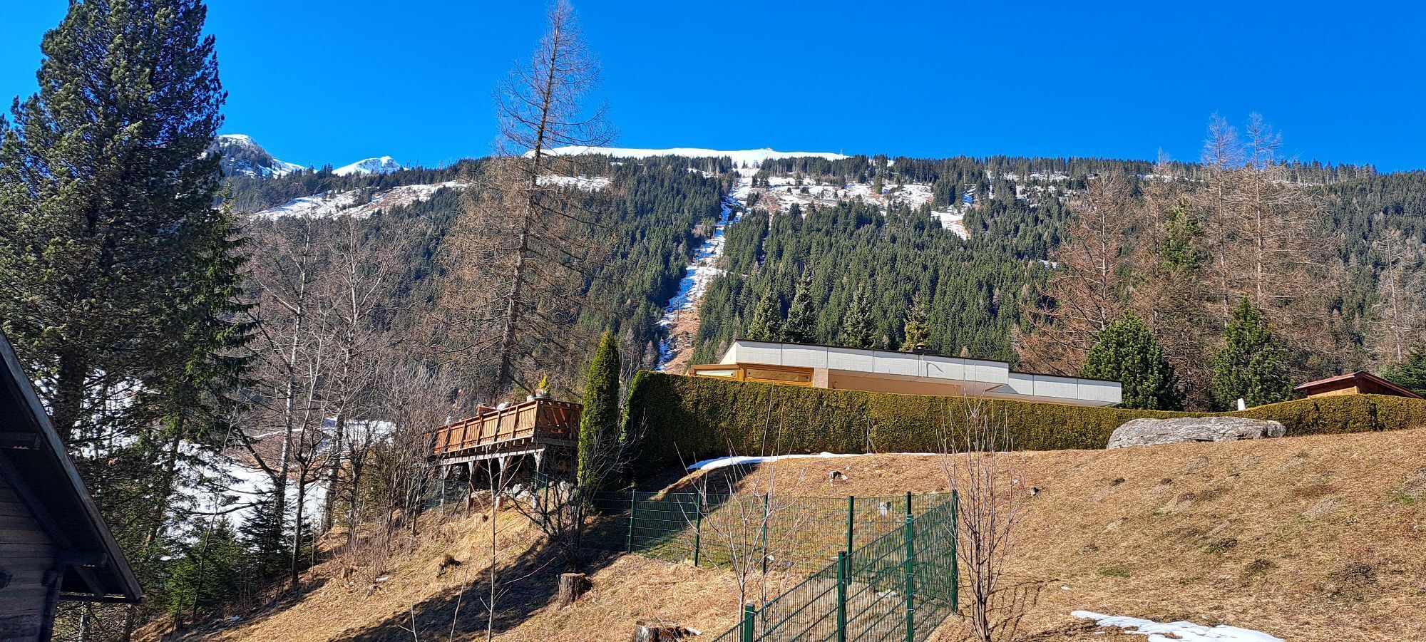
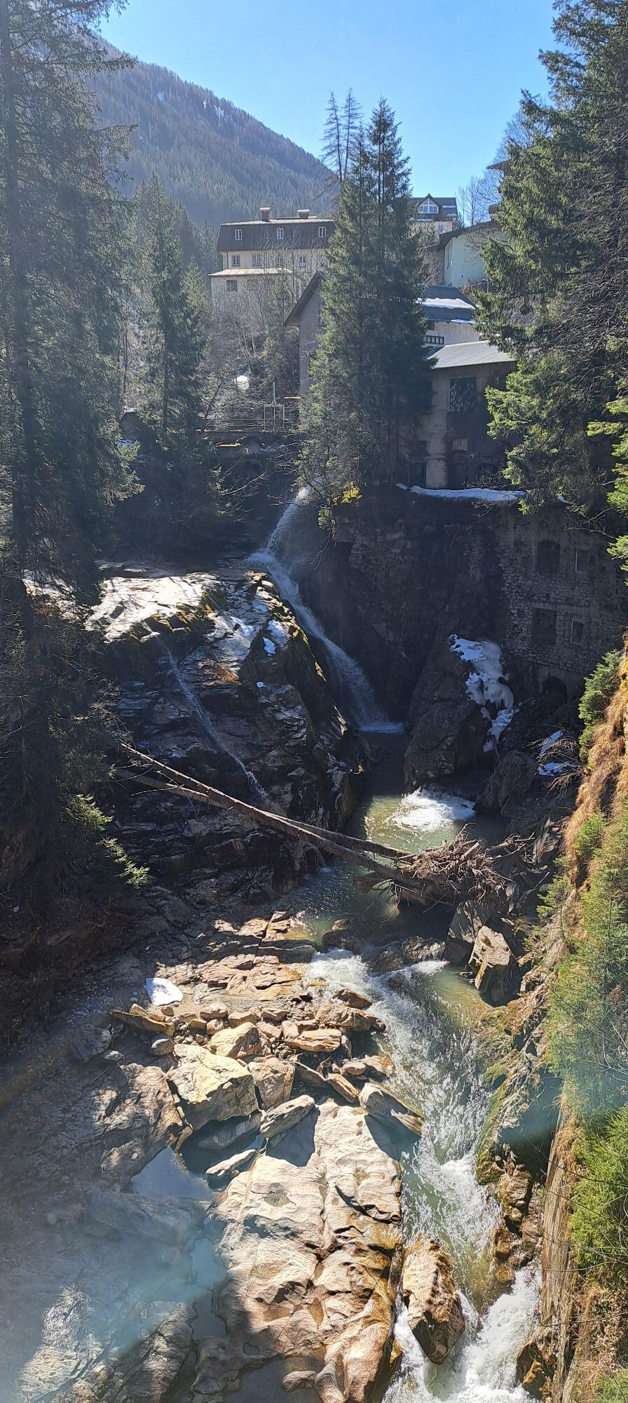
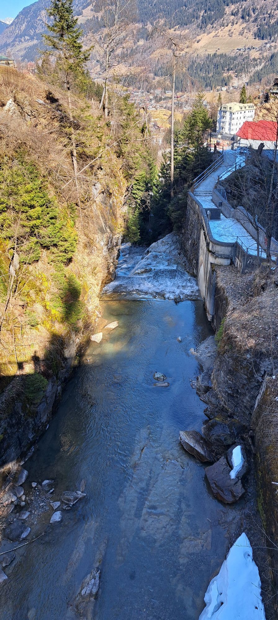
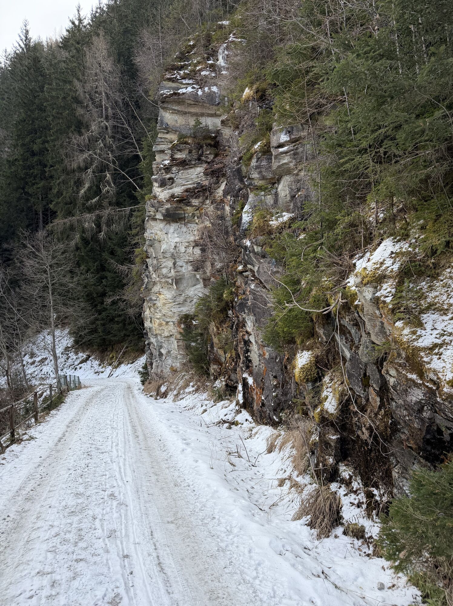
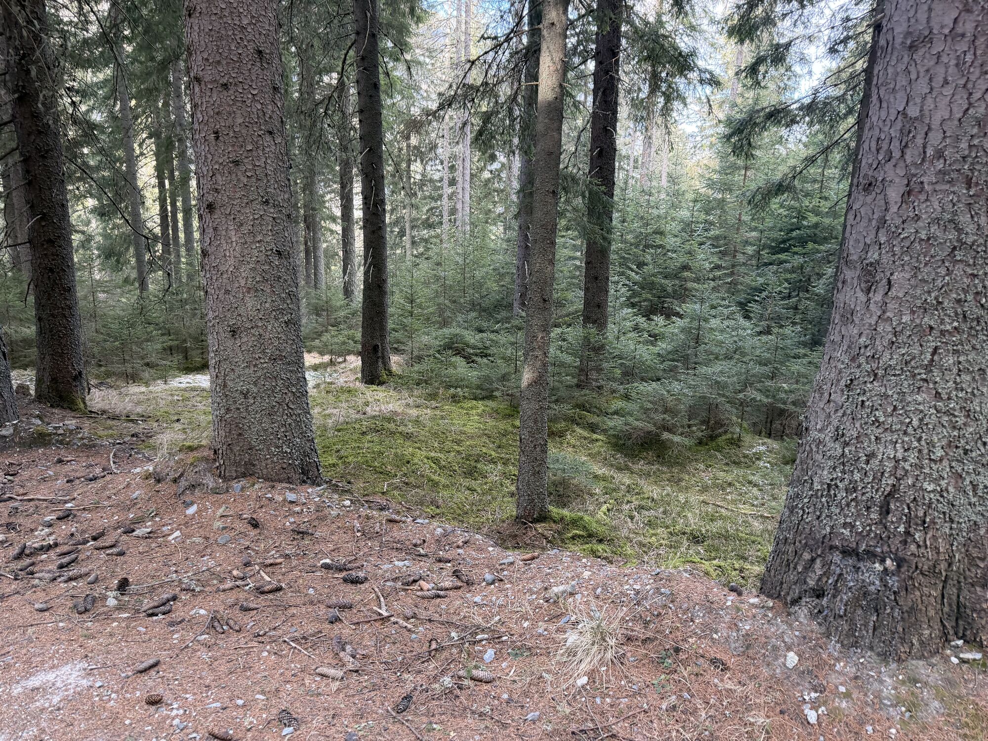
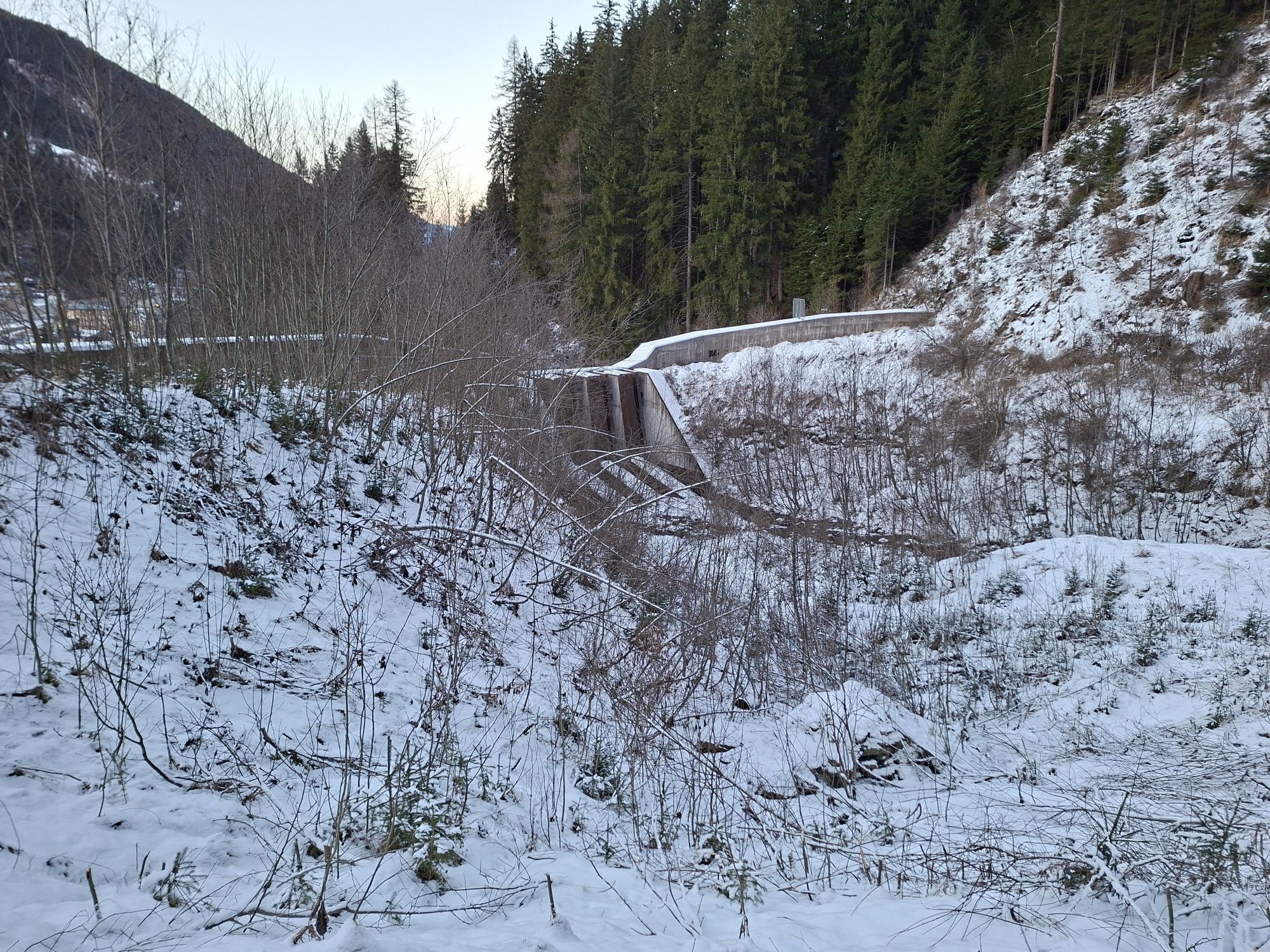
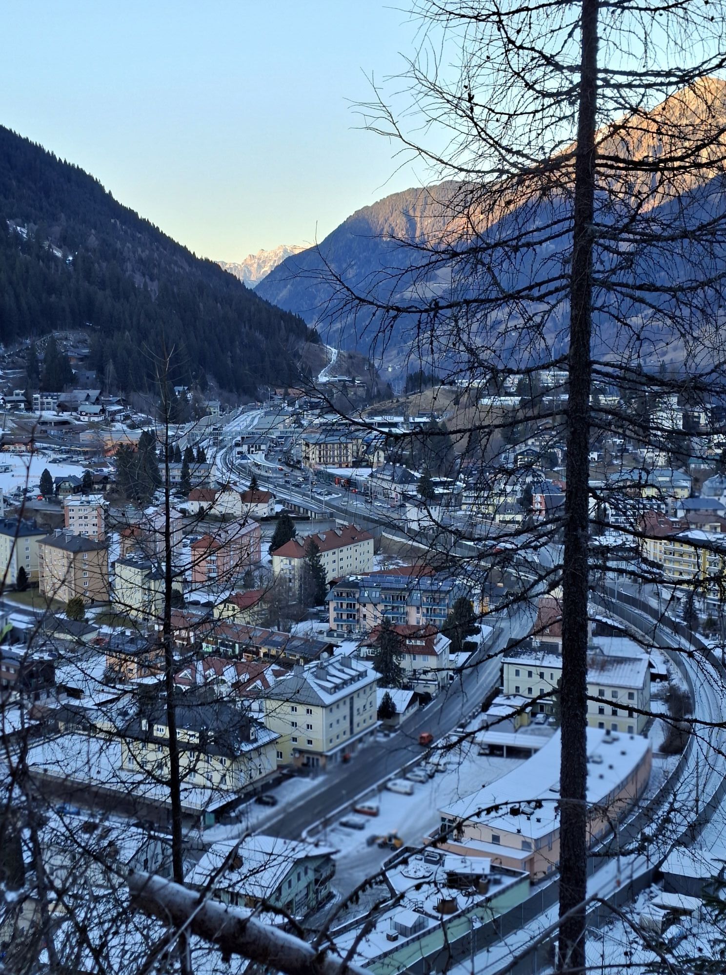
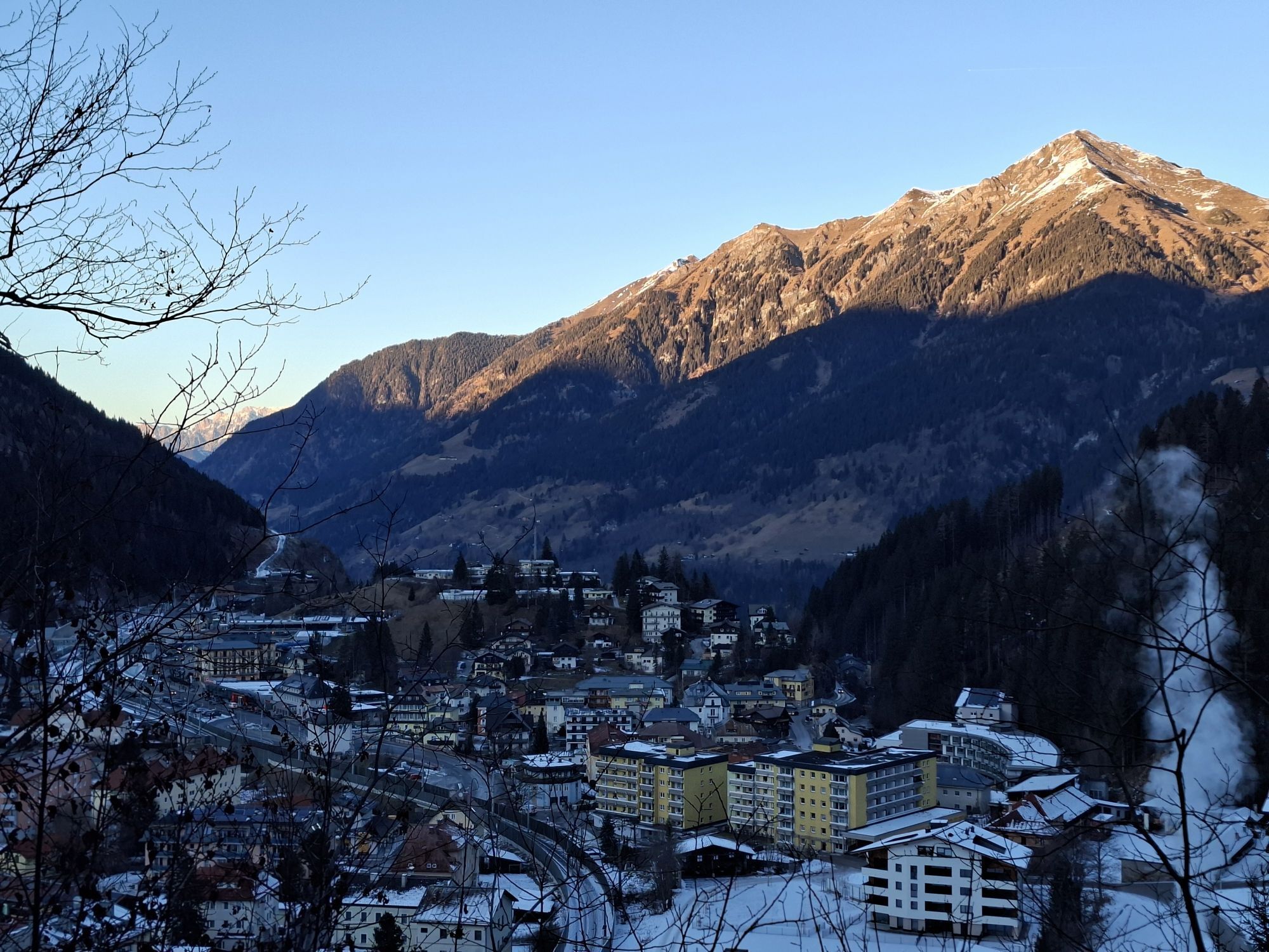
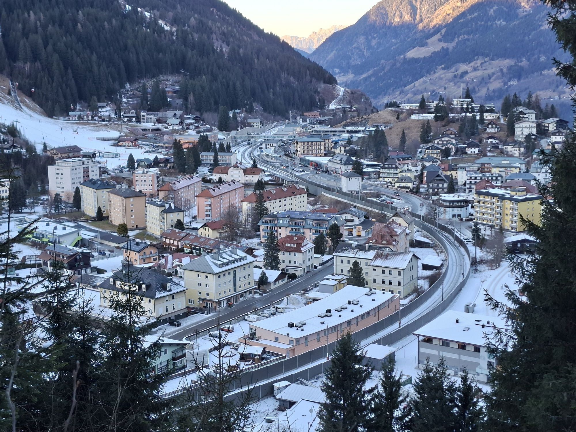
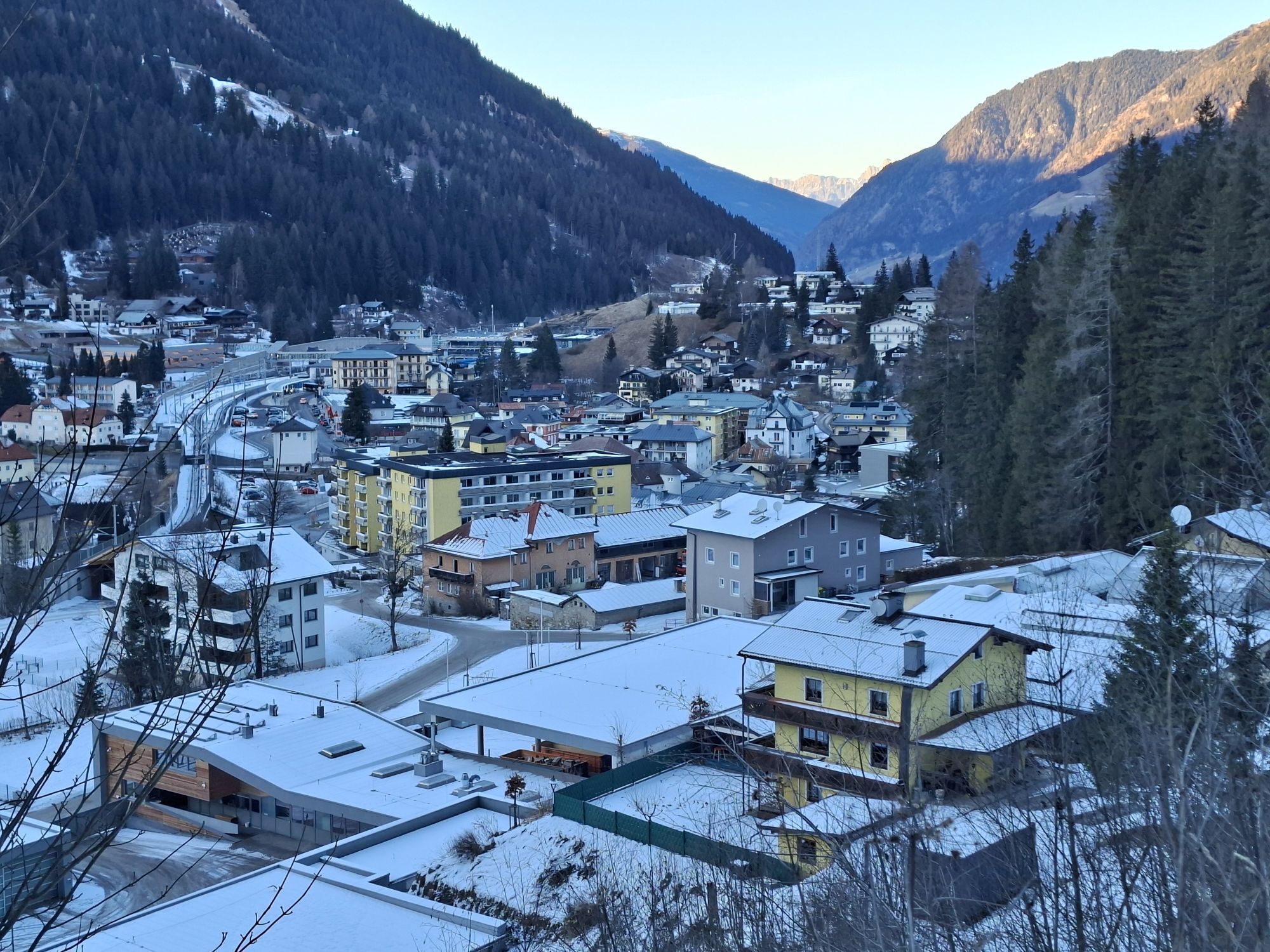
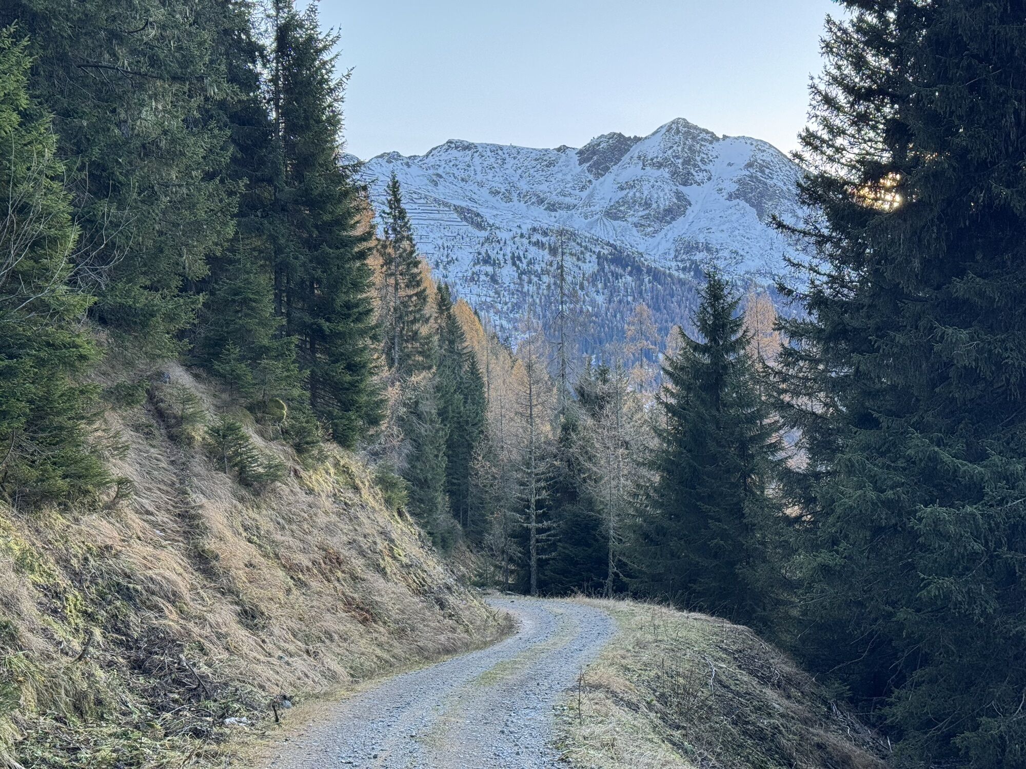
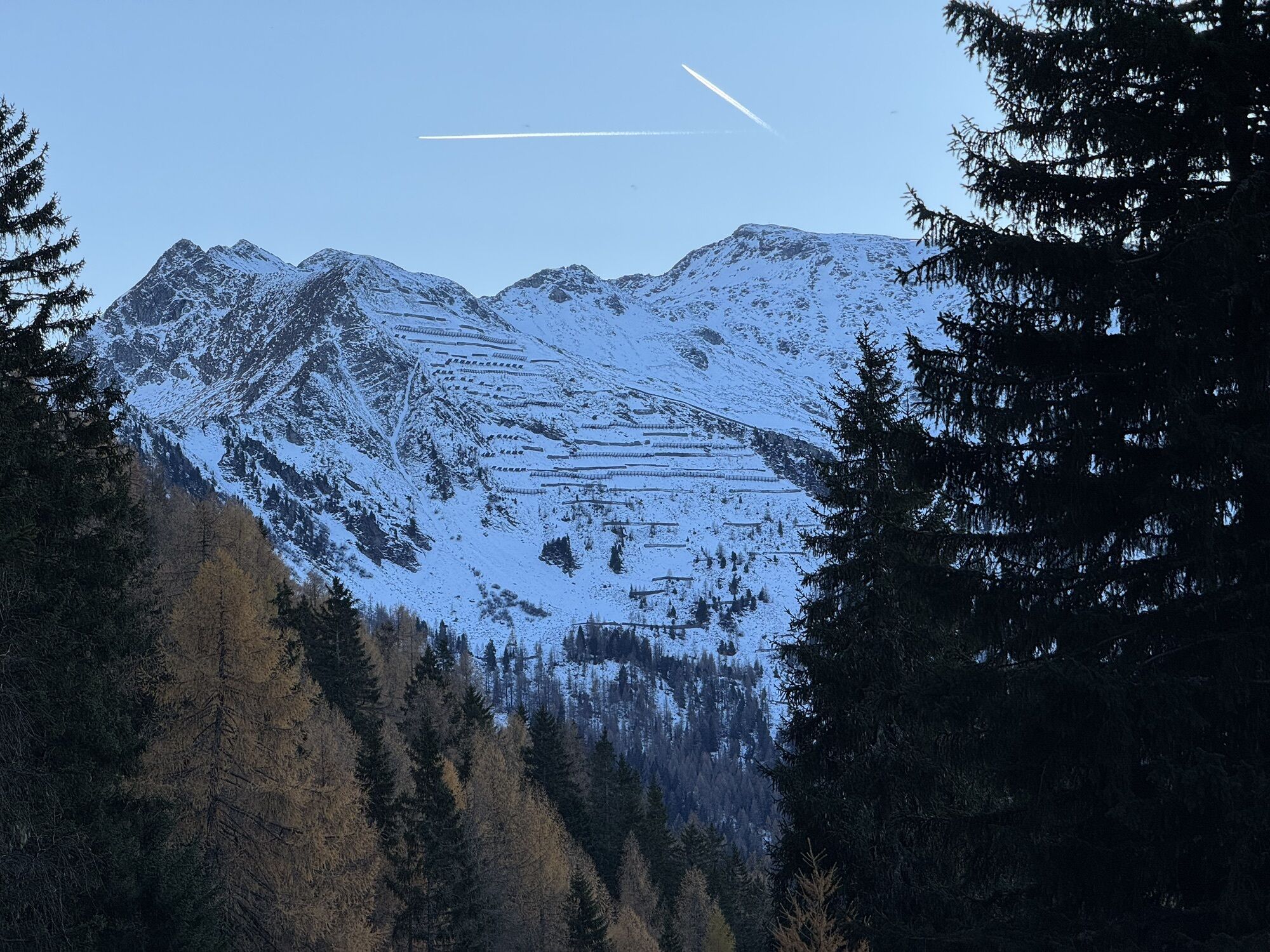
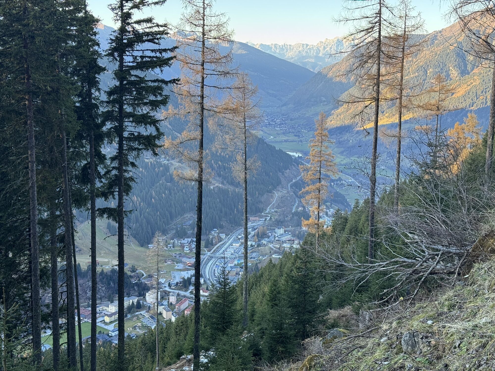
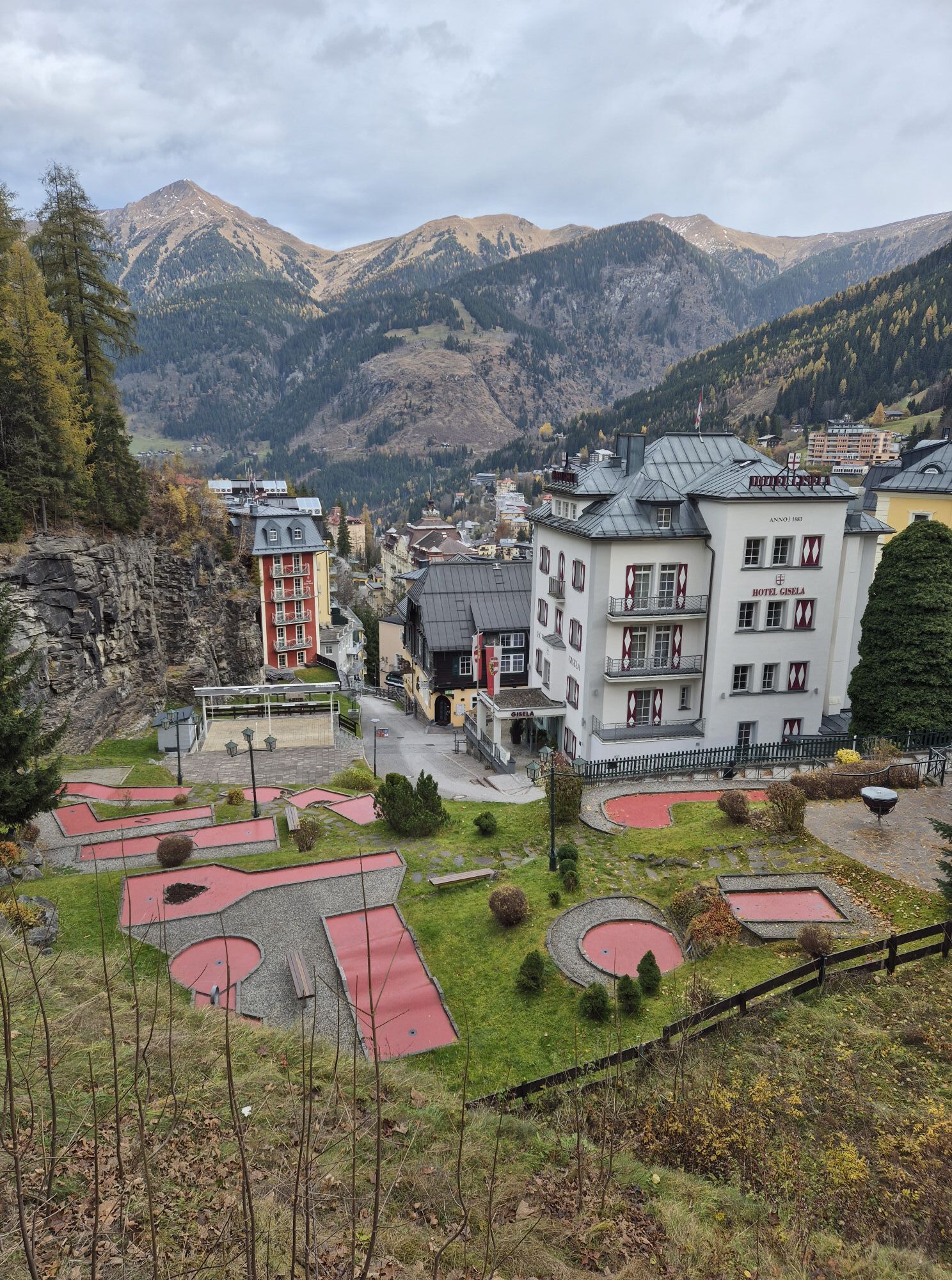
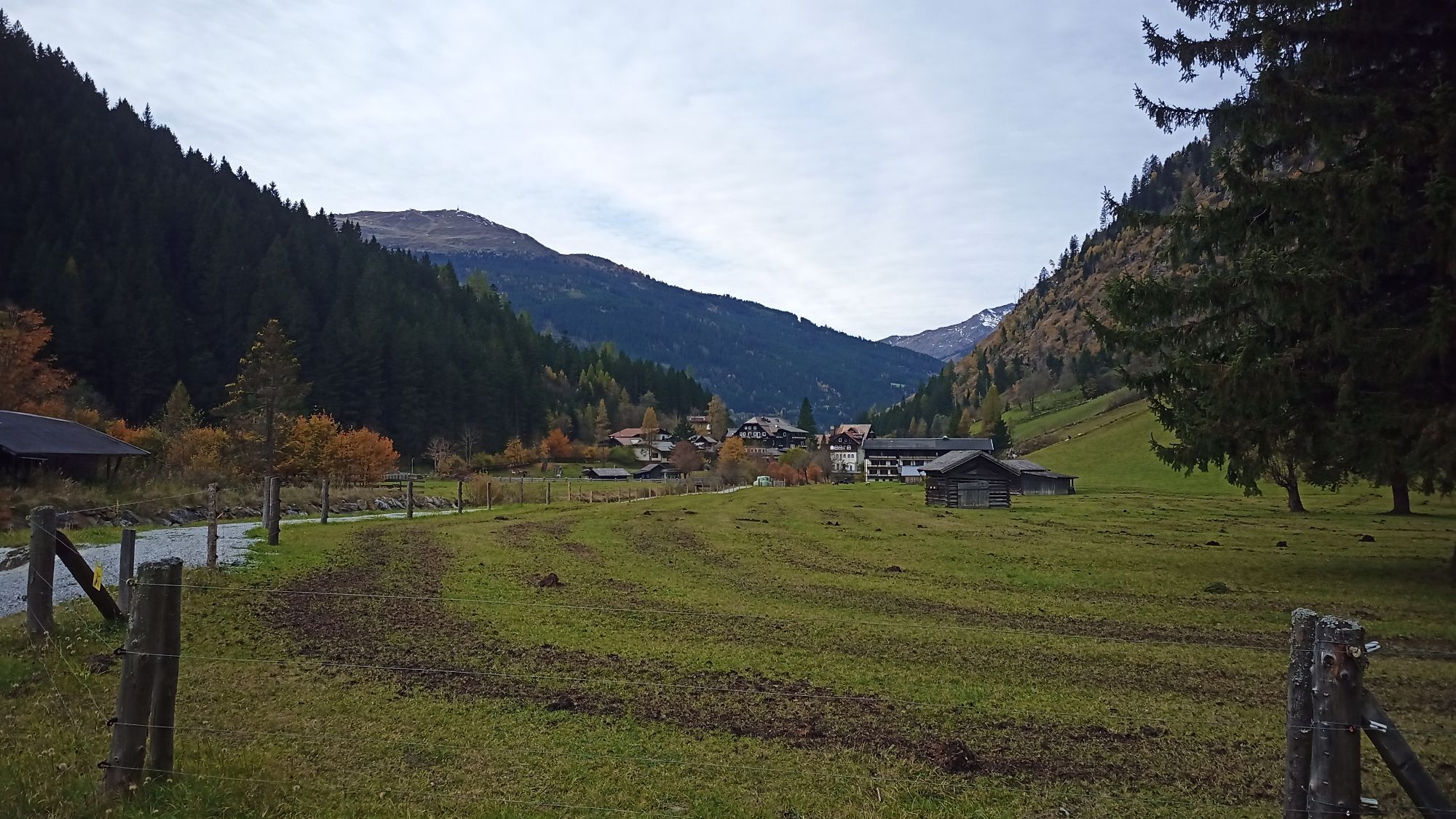
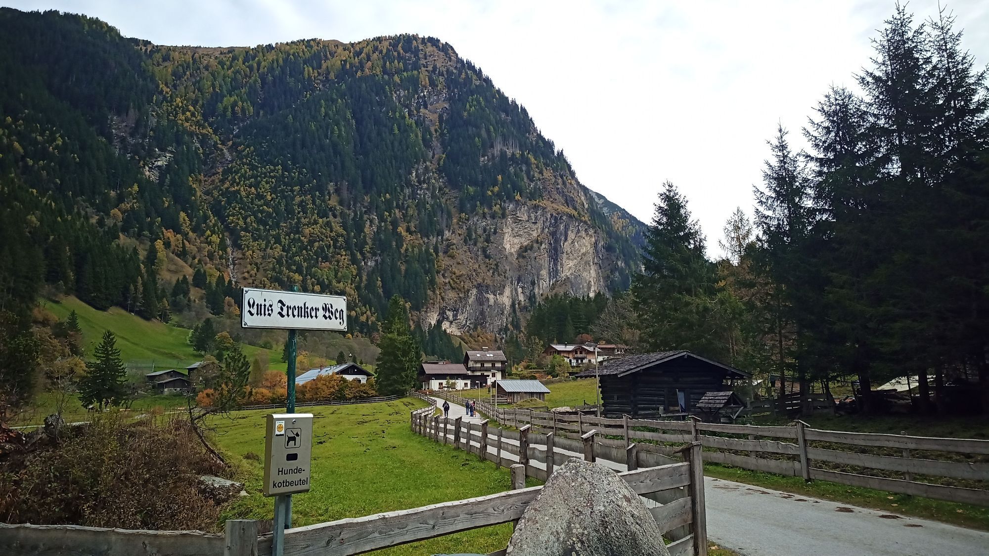

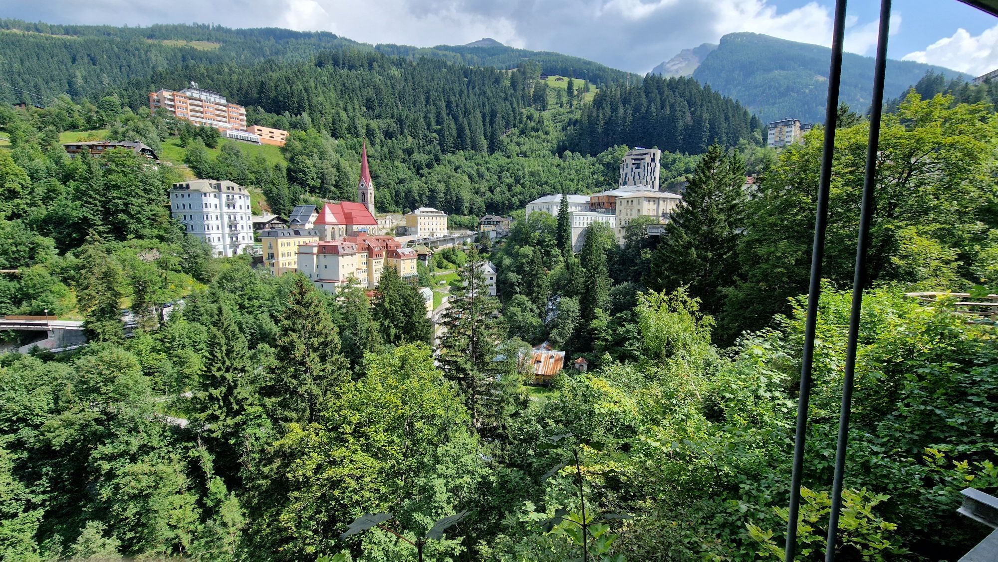
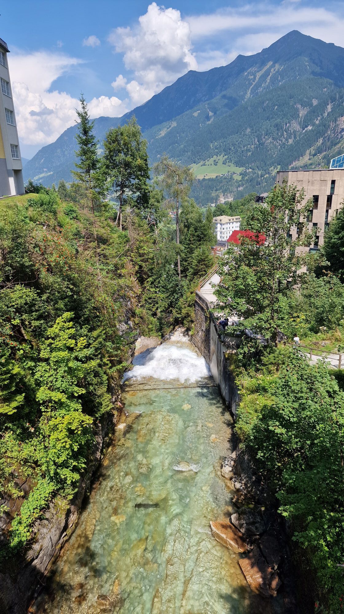
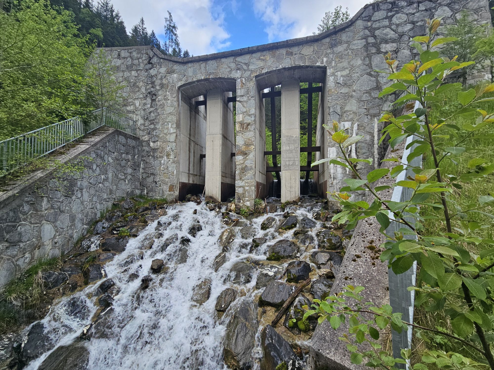
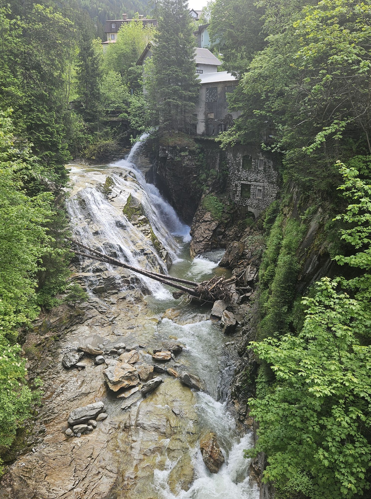
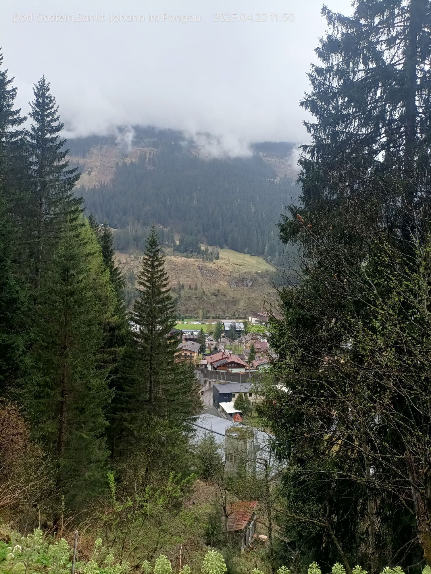
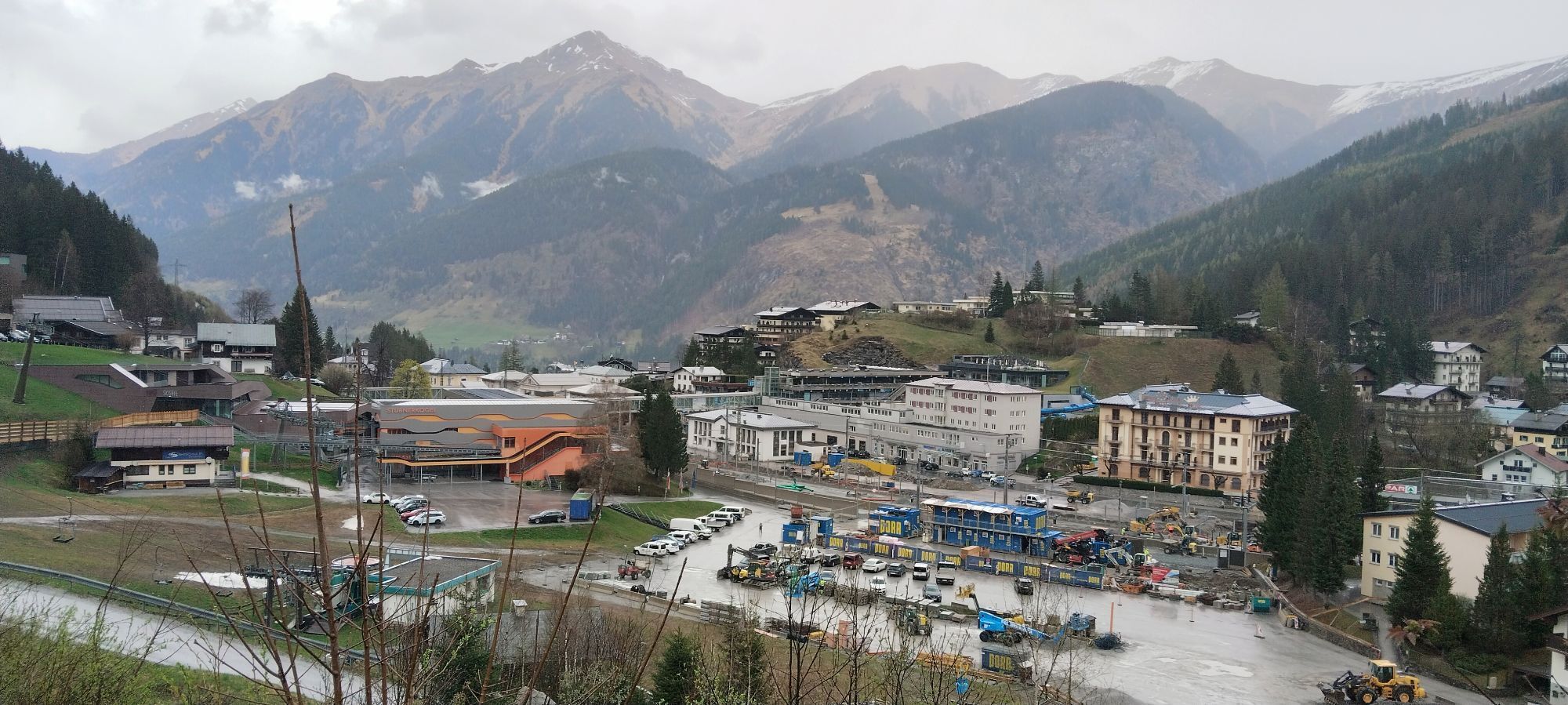
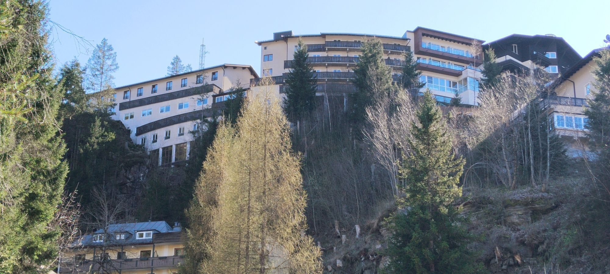
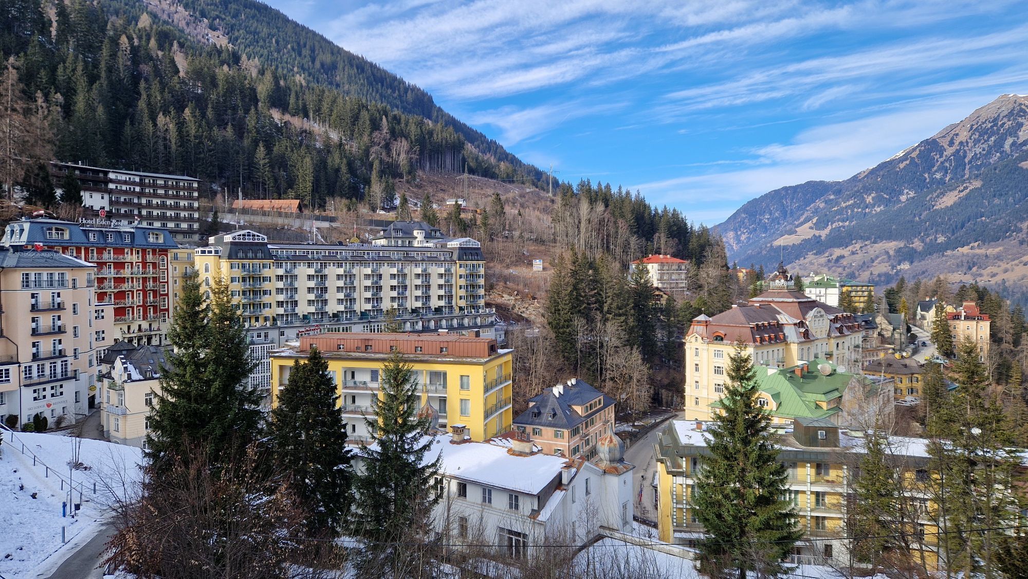
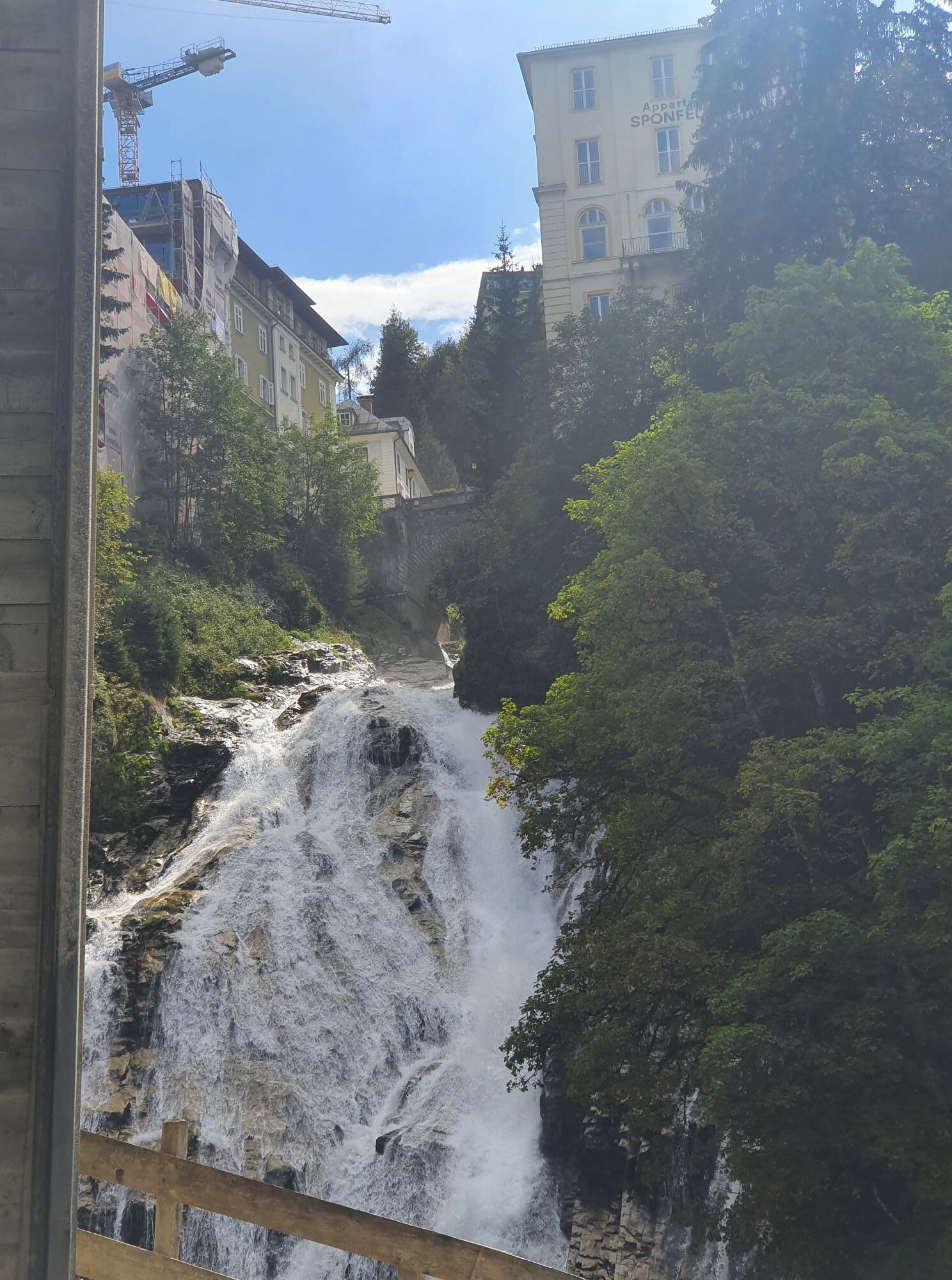
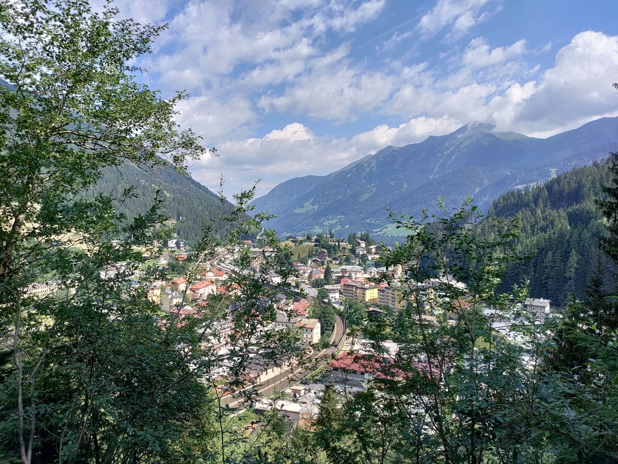
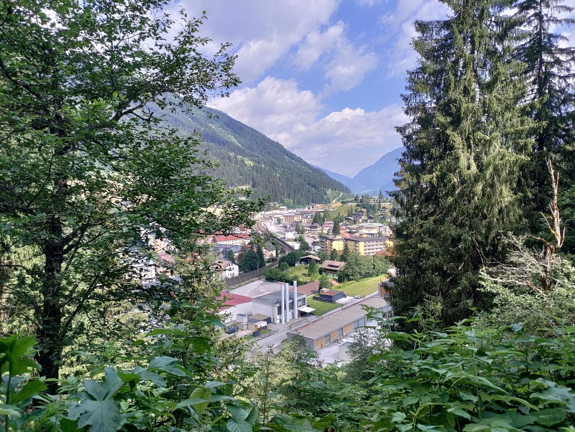
Von Bad Gastein geht es durch ursprünglichen Hochwald auf altem Jagdsteig bis auf die Patschgstuhlalm. Von dort weiter auf den hohen Stuhl. Bis hierher unschwierig. Danach ausgesetzt über den Felsgrat...
Popis
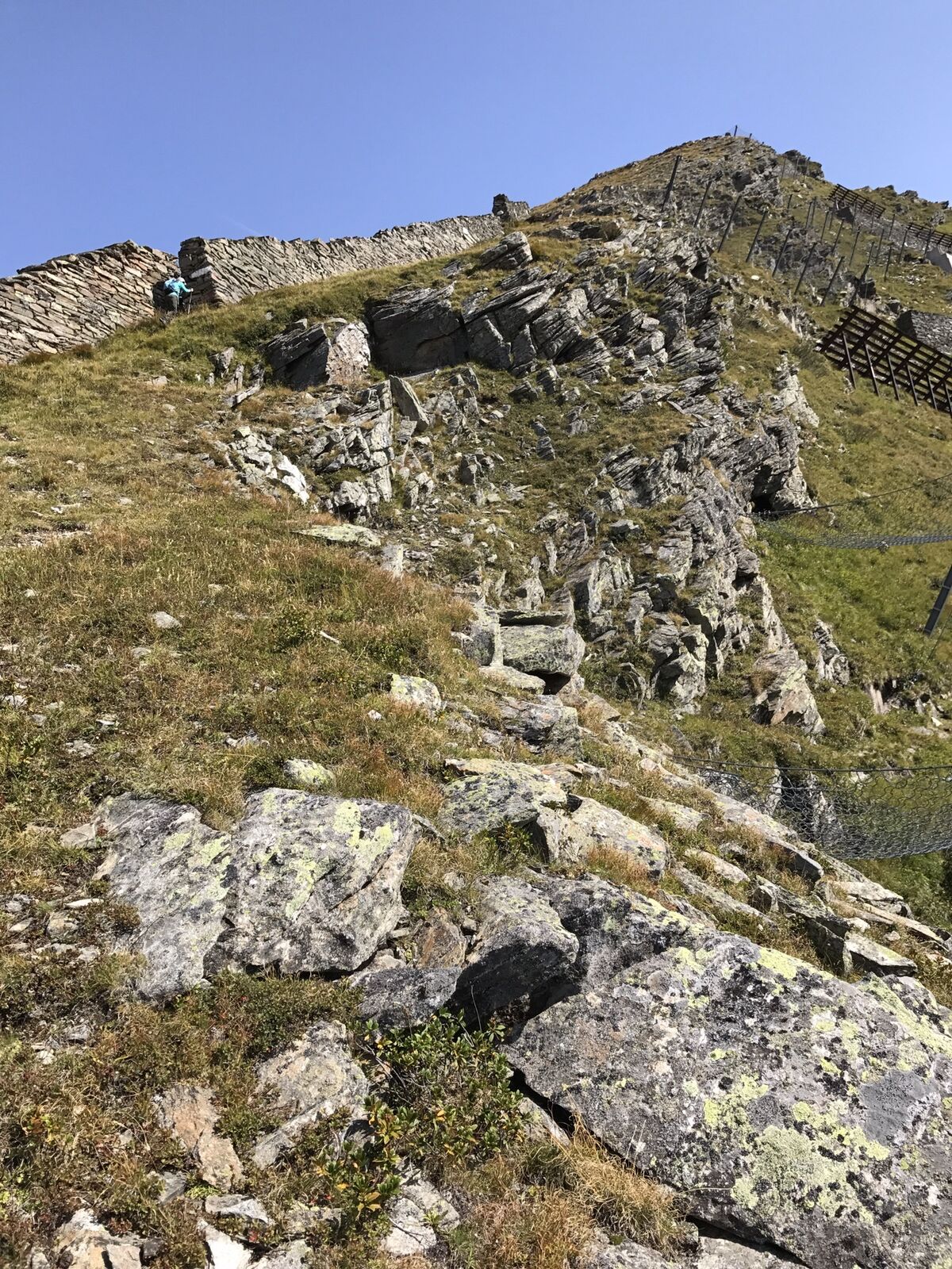
Von Bad Gastein geht es durch ursprünglichen Hochwald auf altem Jagdsteig bis auf die Patschgstuhlalm. Von dort weiter auf den hohen Stuhl. Bis hierher unschwierig. Danach ausgesetzt über den Felsgrat auf den Feuersang. Ausblick teaumhaft, einsamer Gipfel! Rückweg gleich wie Aufstieg.
Trasa
Hoher Stuhl
(2334 m)
Summit
2.1 km
Pyrkershöhe
(1113 m)
Sousedství
9.9 km
Gasteiner Wasserfall
(1023 m)
Vodopád
10.1 km
Bad Gastein
(1083 m)
Železniční stanice
11.0 km
Christophoruskirche
(1024 m)
Místo konání bohoslužeb
12.1 km
Bad Gastein
(1011 m)
Vesnice
12.5 km
Trasa
Feuersang von Bad Gastein
heavy
Vysokohorská turistika
12.83
km
Hoher Stuhl
(2334 m)
Summit
2.1 km
Pyrkershöhe
(1113 m)
Sousedství
9.9 km
Gasteiner Wasserfall
(1023 m)
Vodopád
10.1 km
Bad Gastein
(1083 m)
Železniční stanice
11.0 km
Christophoruskirche
(1024 m)
Místo konání bohoslužeb
12.1 km
Bad Gastein
(1011 m)
Vesnice
12.5 km





Naposledy sledované
před 2 týdny

Zatím žádné recenze
Webové kamery z prohlídky

Všechny webové kamery na mapě
Nainstaluj si aplikaci zdarma a porovnej si živé záběry z několika míst, než vyrazíš.
Využijte nyní službu „ bergfex “ v aplikaci
Naskenuj QR kód pomocí fotoaparátu
Jakmile je aplikace nainstalována, obsah se otevře přímo. Pokud aplikaci ještě nemáš, budeš přesměrován na stránku, kde si ji můžeš zdarma stáhnout.
Oblíbené prohlídky v okolí
-
4.8
Großarl: Himmelsroute
středníTuristika 5.41 km -
5.0
Silberpfennig, Salzburger Land/Österreich
středníTuristika 13.8 km -
4.5
Gastein high path from Bad Gastein to Bad Hofgastein
světloTuristika 8.58 km -
4.8
Großarl: Bichlalm
středníMountainbike 18.9 km -
4.4
"Elendrunde" Kleinelend Valley - Zwischenelendscharte - Großelend Valley
středníTuristika 21.9 km -
4.9
Bad Gastein - Poserhöhe - Gamskarkogel
heavyTuristika 18.6 km -
4.4
Mountain route from the Kötschachtal to the natural jewel Reedsee
středníTuristika 12.5 km -
4.8
Türchlwand von der Bergstation Schlossalmbahn Bad Hofgastein, Österreich
středníHorská turistika 7.05 km -
4.8
Wanderung zur Schwussner Hütte
světloTuristika 8.07 km -
4.8
Hohe Sonnblick Up
heavyTuristika 9.14 km
Pěší turistika a stopování

Více než 550.000 návrhů výletů, podrobné mapy a intuitivní plánovač tras dělají z aplikace nezbytnou výbavu pro všechny milovníky přírody.

Nenechte si ujít nabídky a inspiraci pro vaši příští dovolenou
Přihlaste se k odběru newsletteru
Chyba
Došlo k chybě. Zkuste to prosím znovu.
Děkujeme za vaši registraci
Vaše e-mailová adresa byl přidán do poštovního seznamu.
Zájezdy po celé Evropě
Rakousko
Švýcarsko
Německo
Itálie
Slovenia
Francie
Nizozemsko
Belgie
Polsko
Lichtenštejnsko
Česko
Slovensko
Španělsko
Chorvatsko
Bosna a Hercegovina
Lucembursko
Andorra
Portugal
Iceland
United Kingdom
Ireland
Greece
Albania
North Macedonia
Malta
Norway
Montenegro
Moldova
Kosovo
Hungary
San Marino
Romania
Estonia
Latvia
Belarus
Cyprus
Lithuania
Serbia
Bulgaria
Monaco
Denmark
Sweden
Finland





