







Grossarl: 3-day hike from Unterwandalm to Gerstreitalm



Day 1:
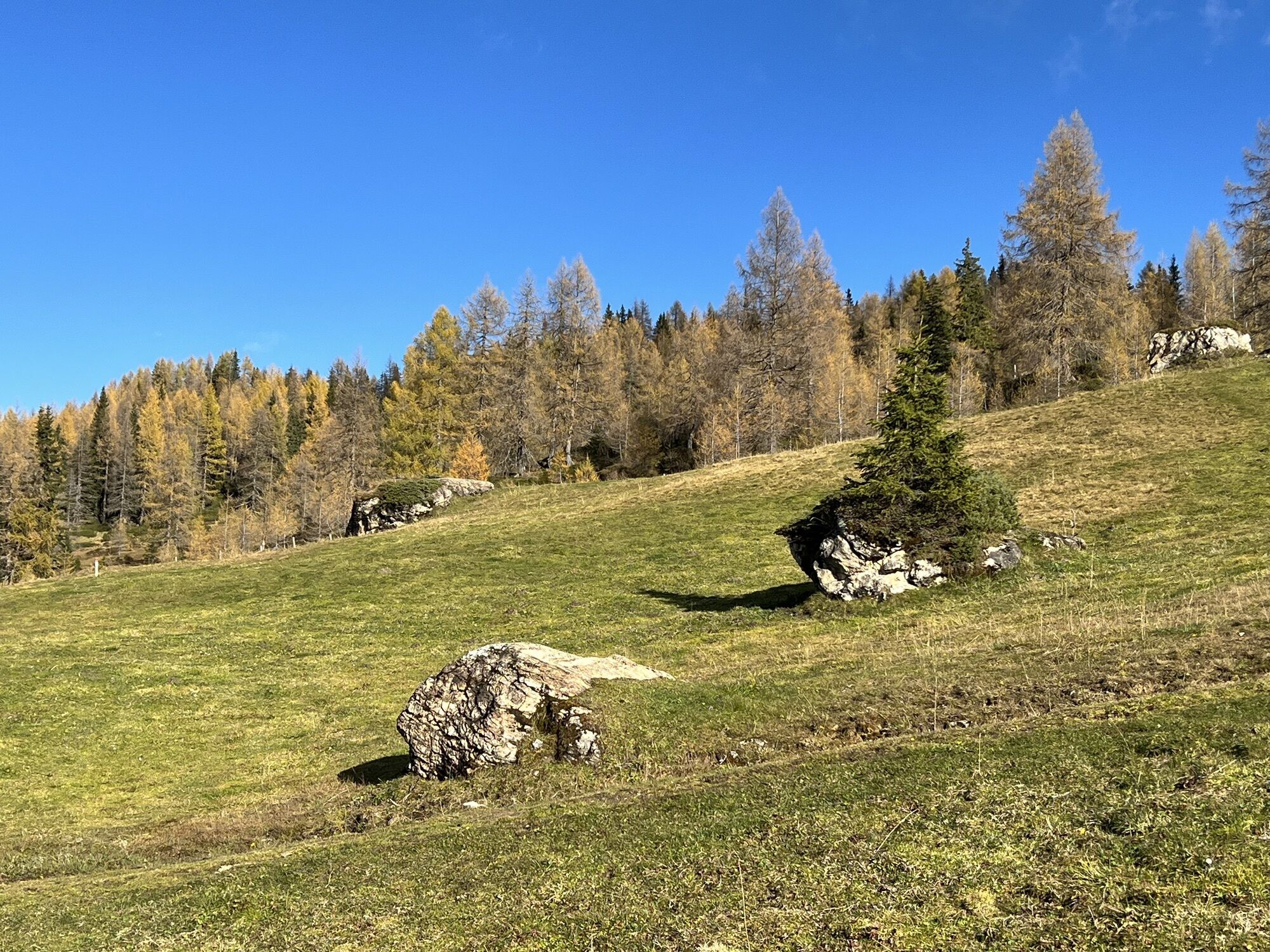
A forest road from Sonnegg Bridge leads through a spruce high forest upwards to the Muggenfeld and to the Maurachalm. You can shorten the path a bit via trails through the forest. Suddenly the forest...
Day 1:
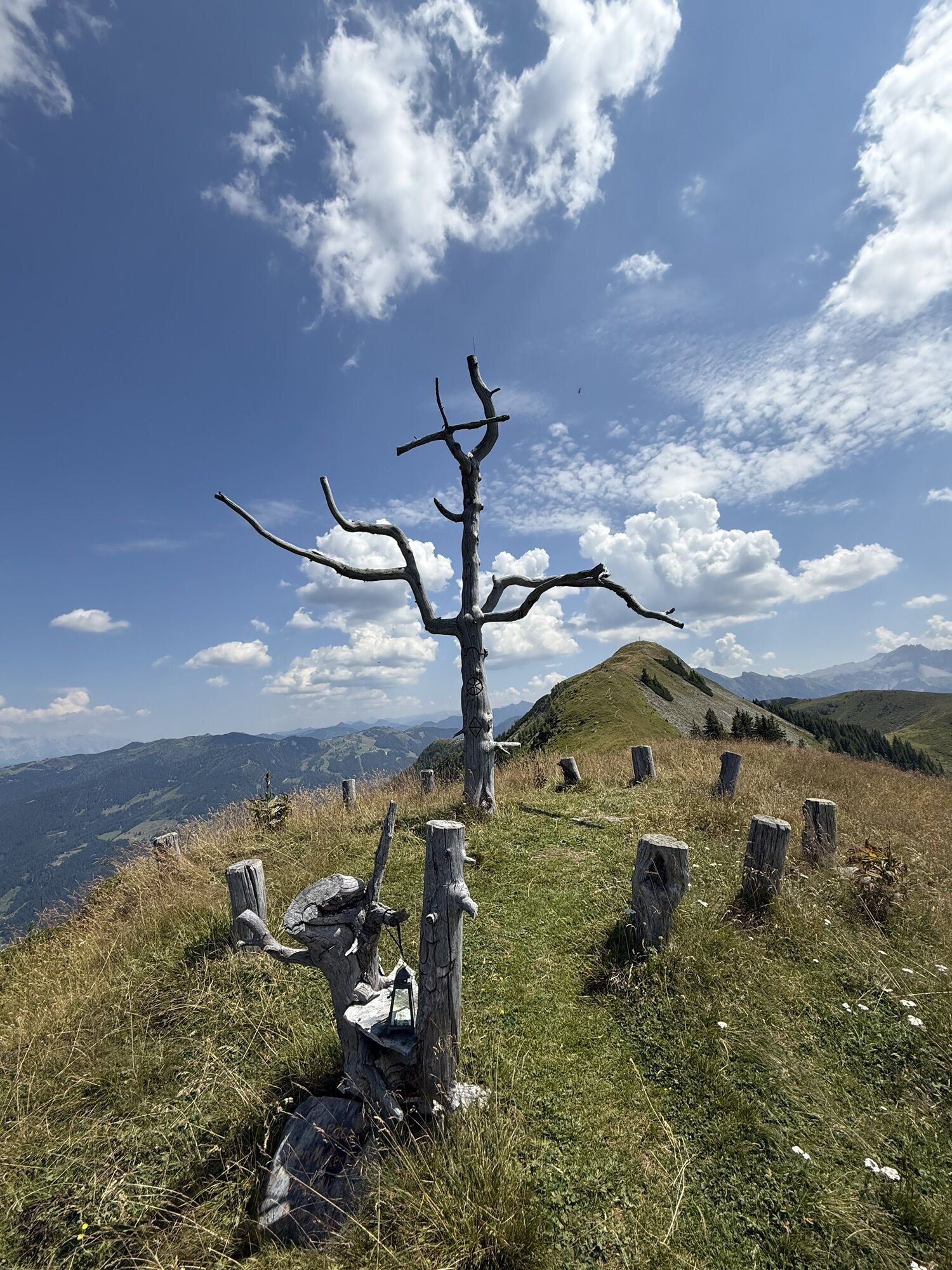
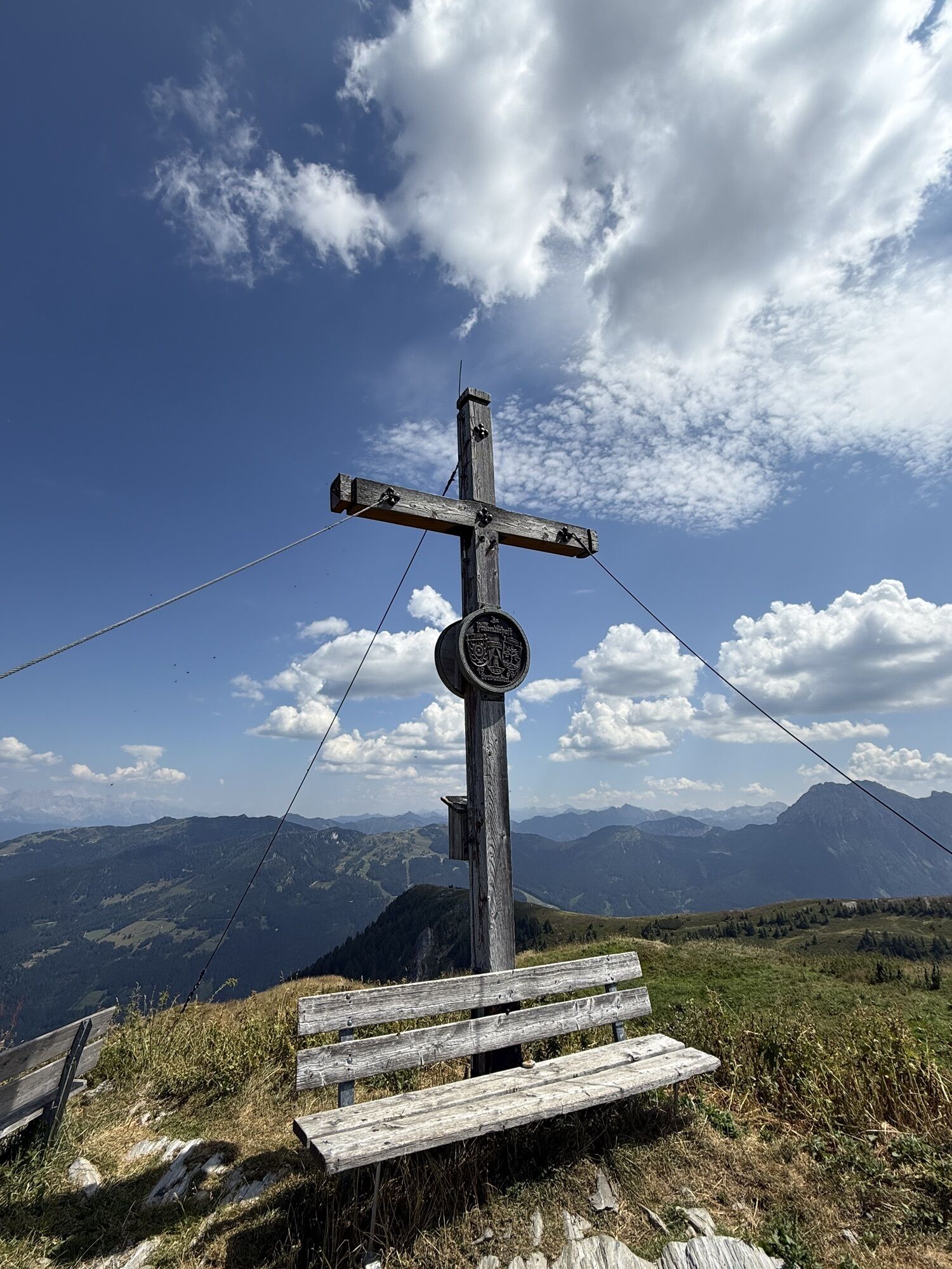
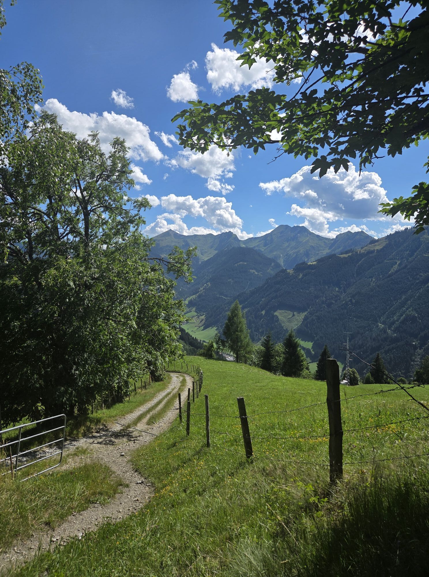
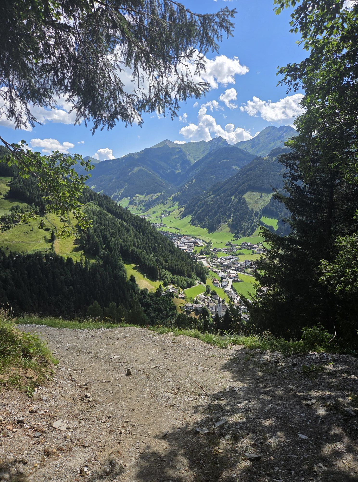
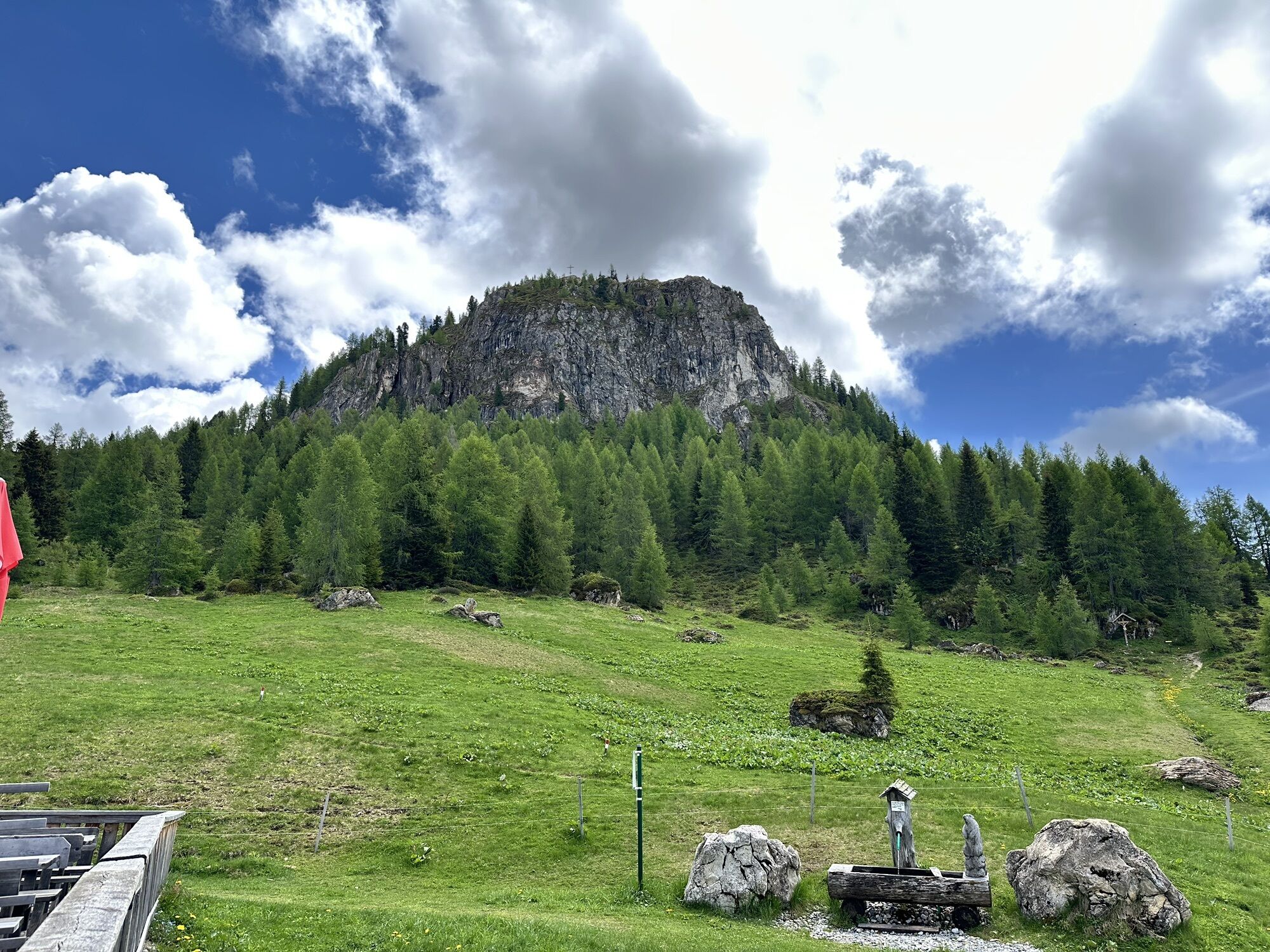
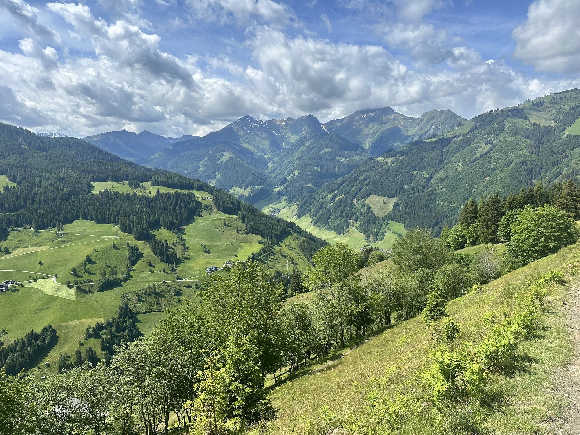
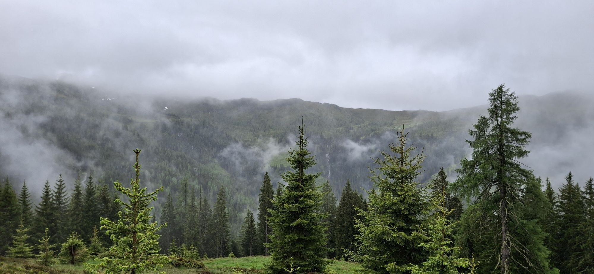
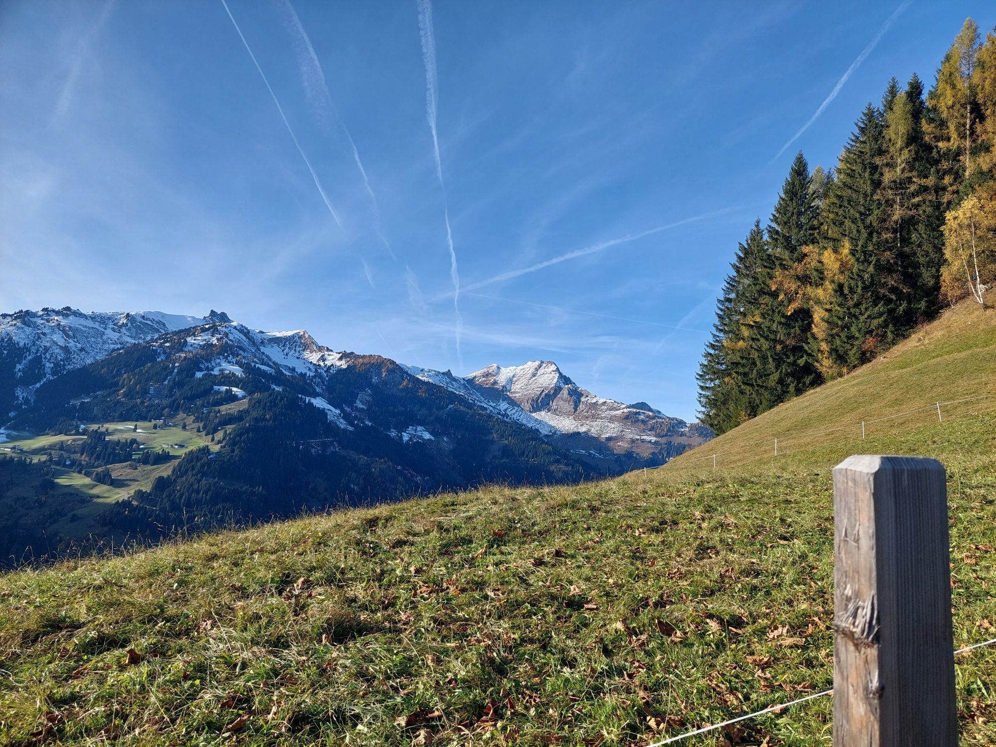
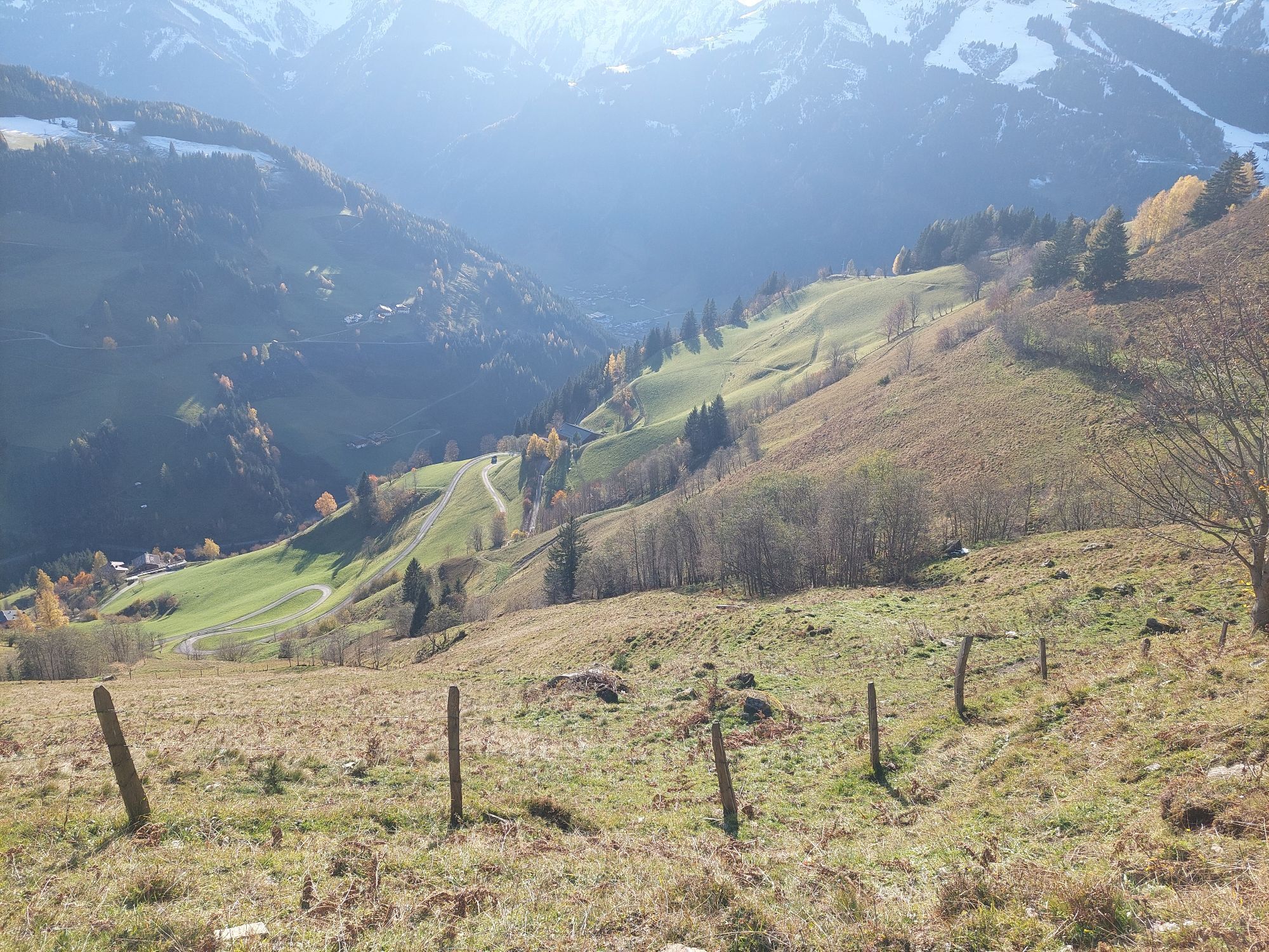
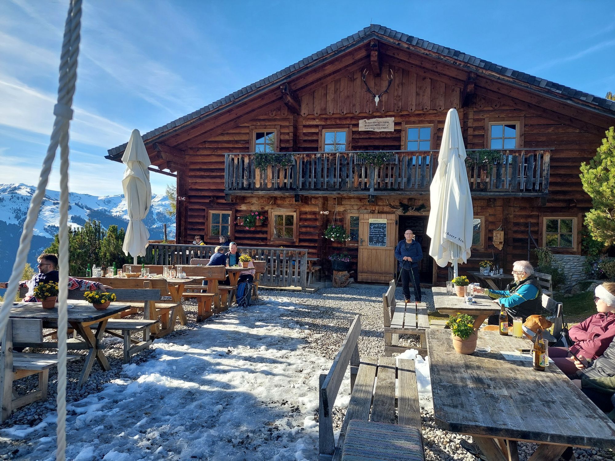
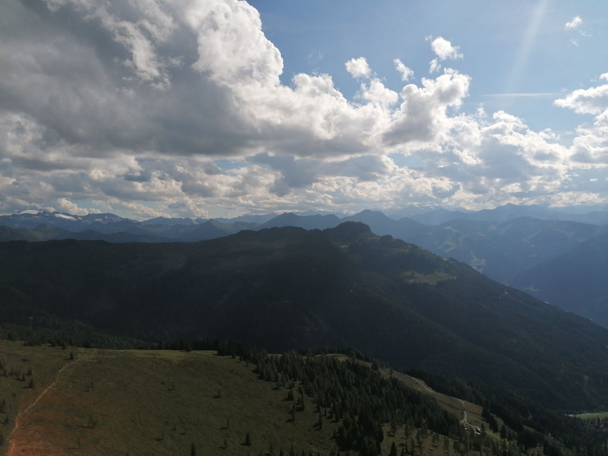
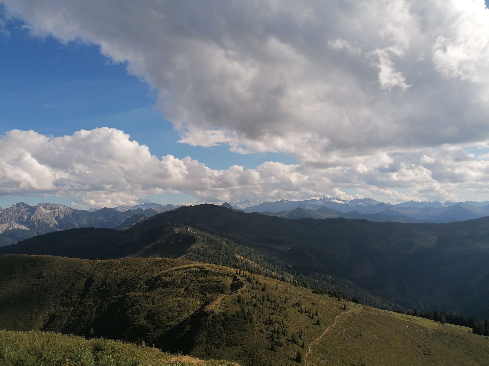
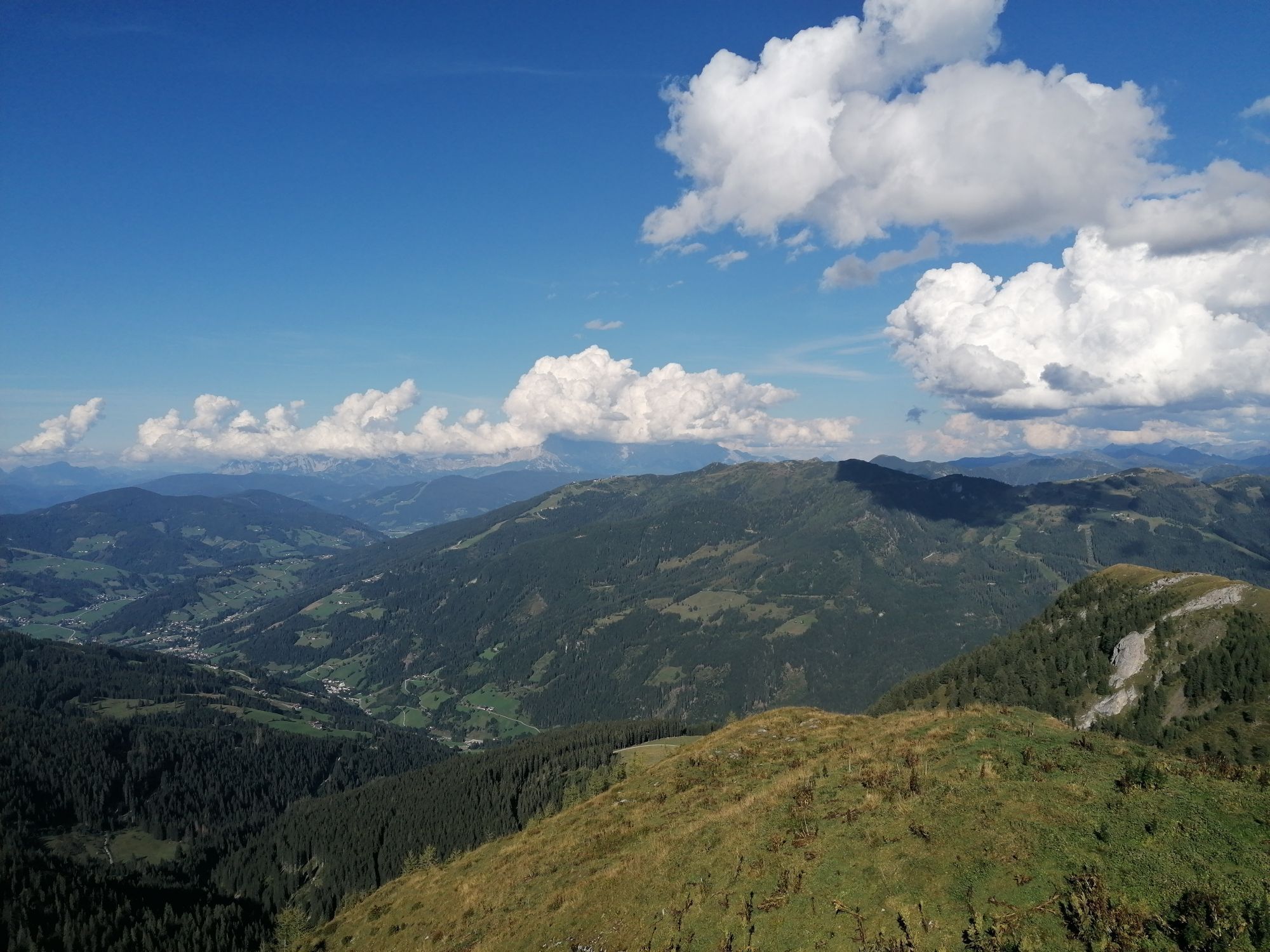
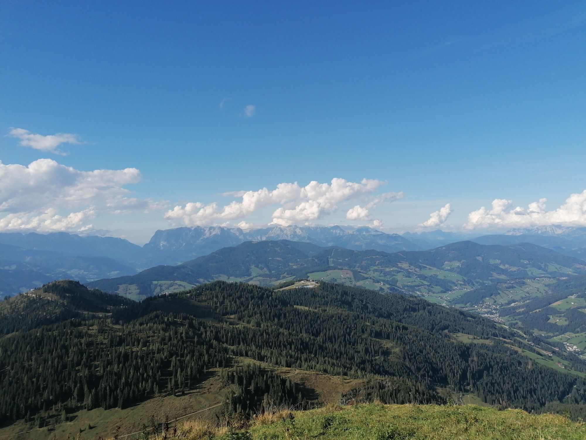
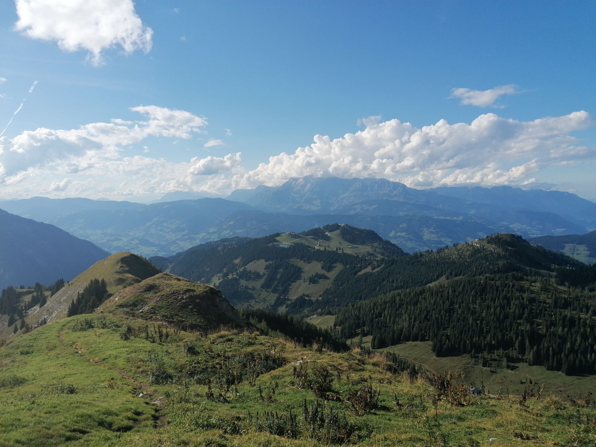
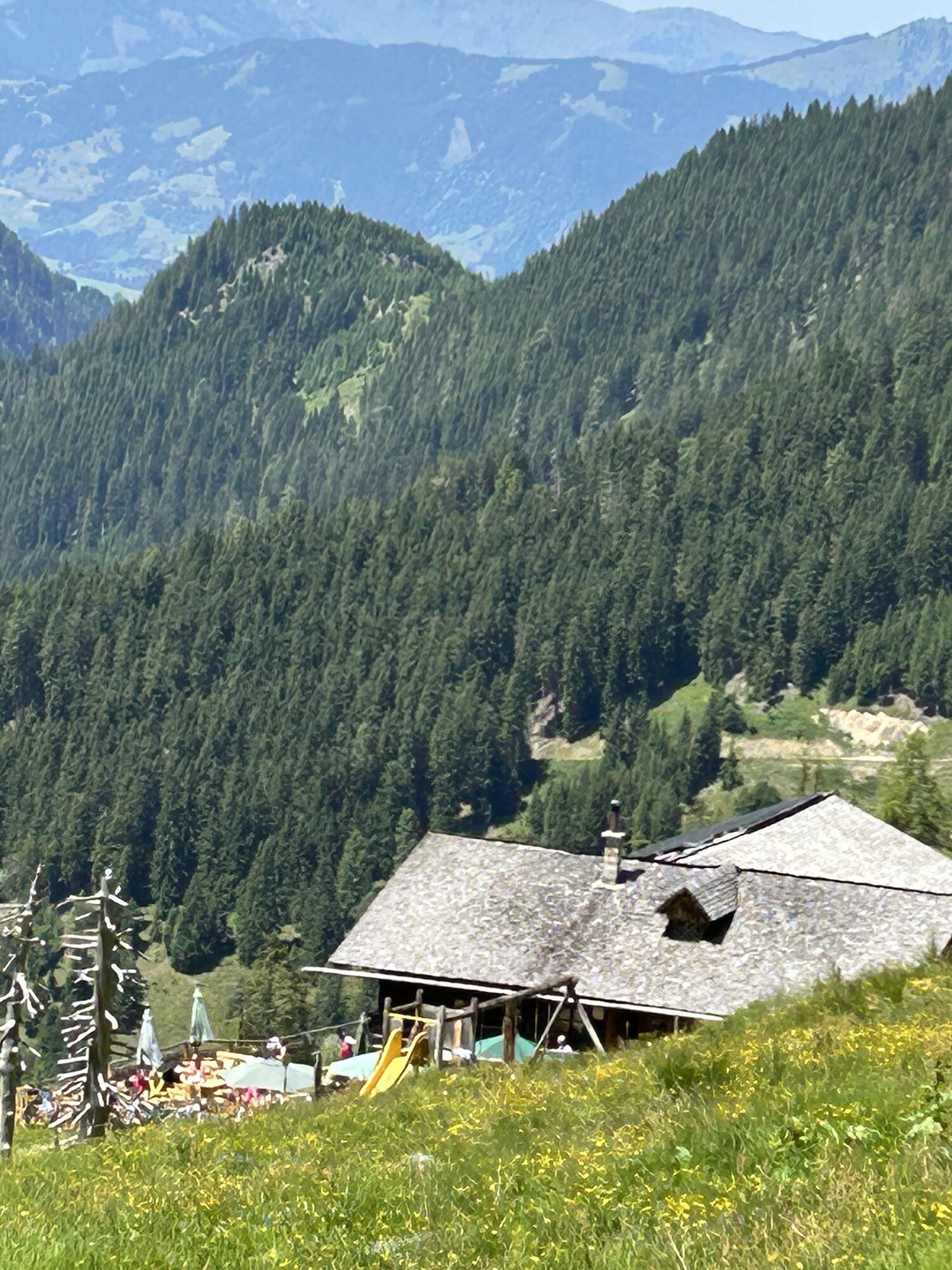
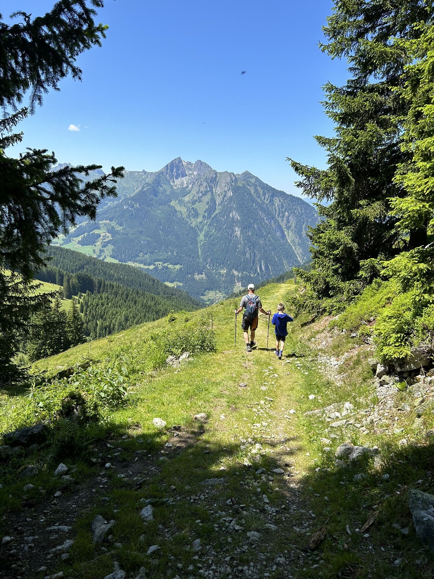
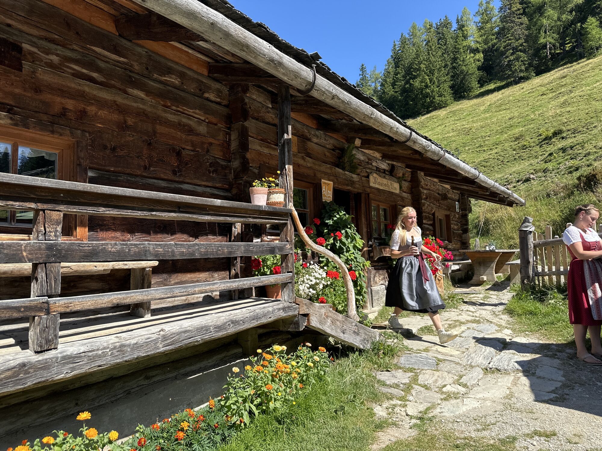
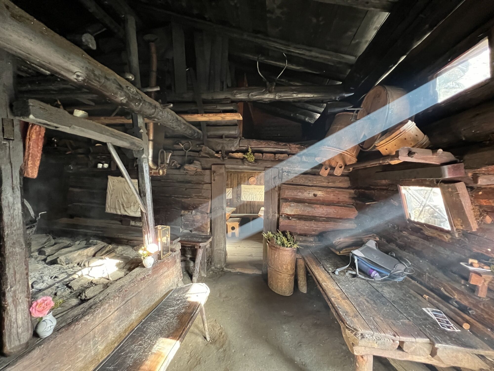
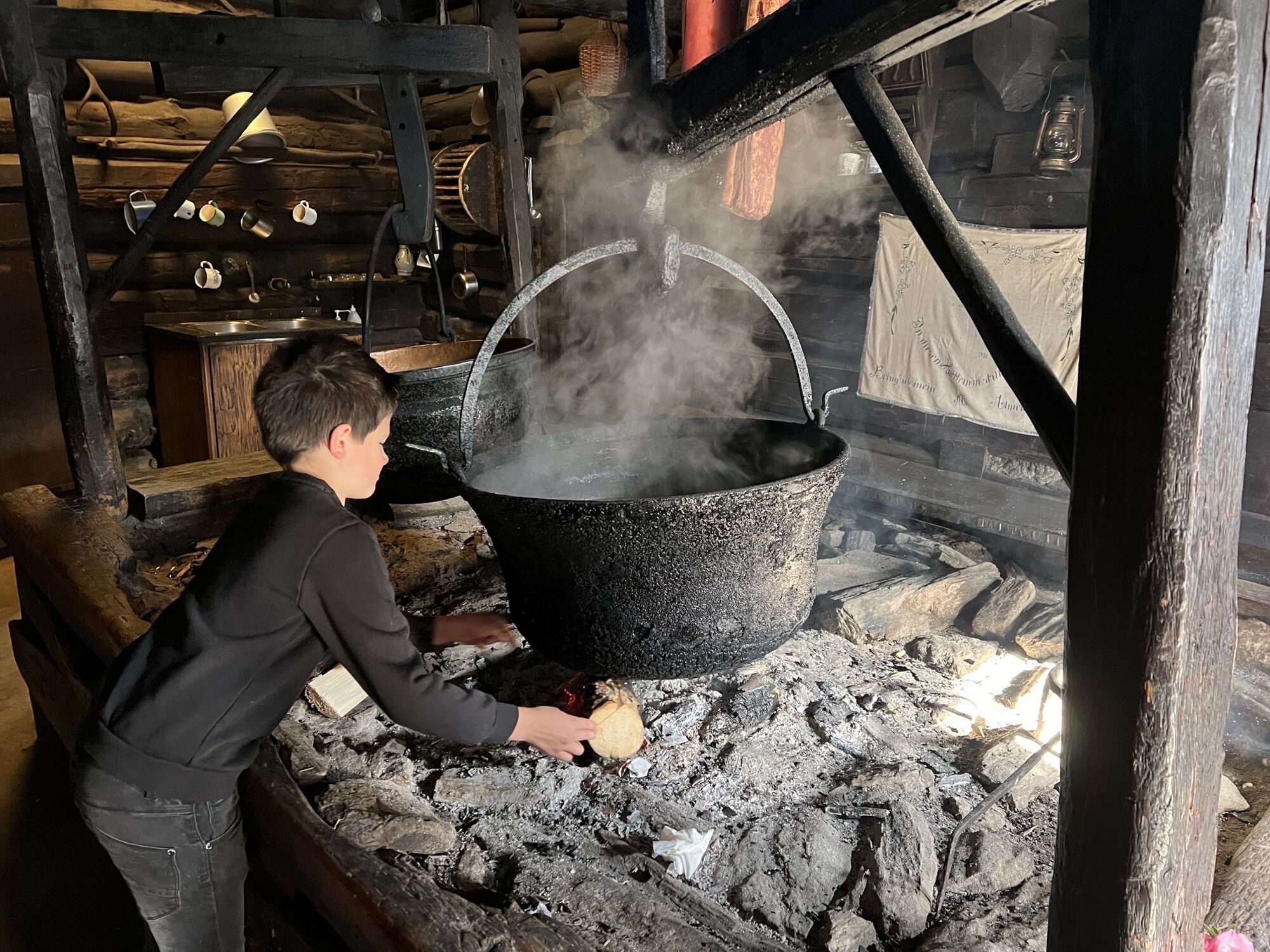
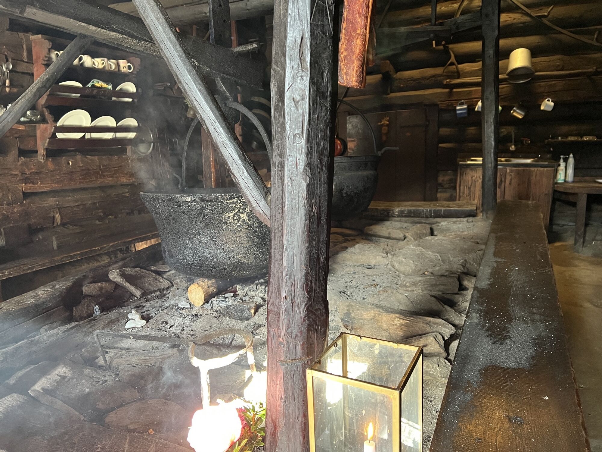
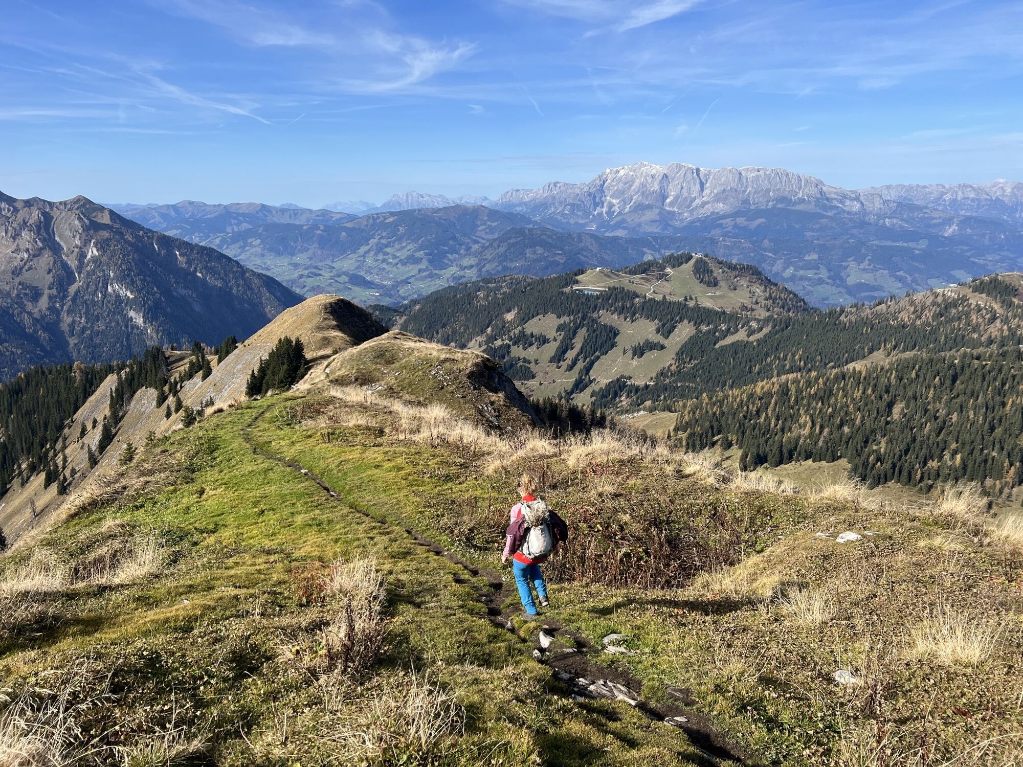
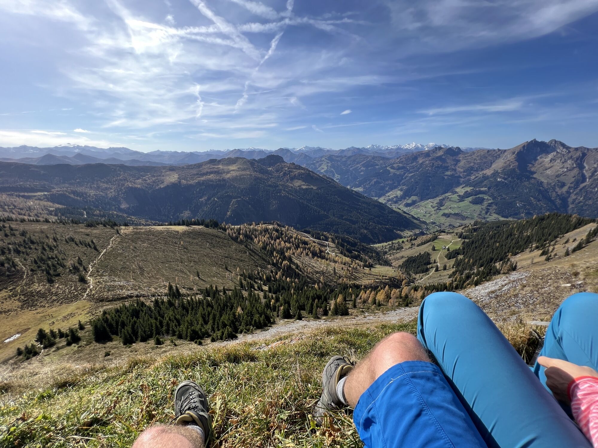
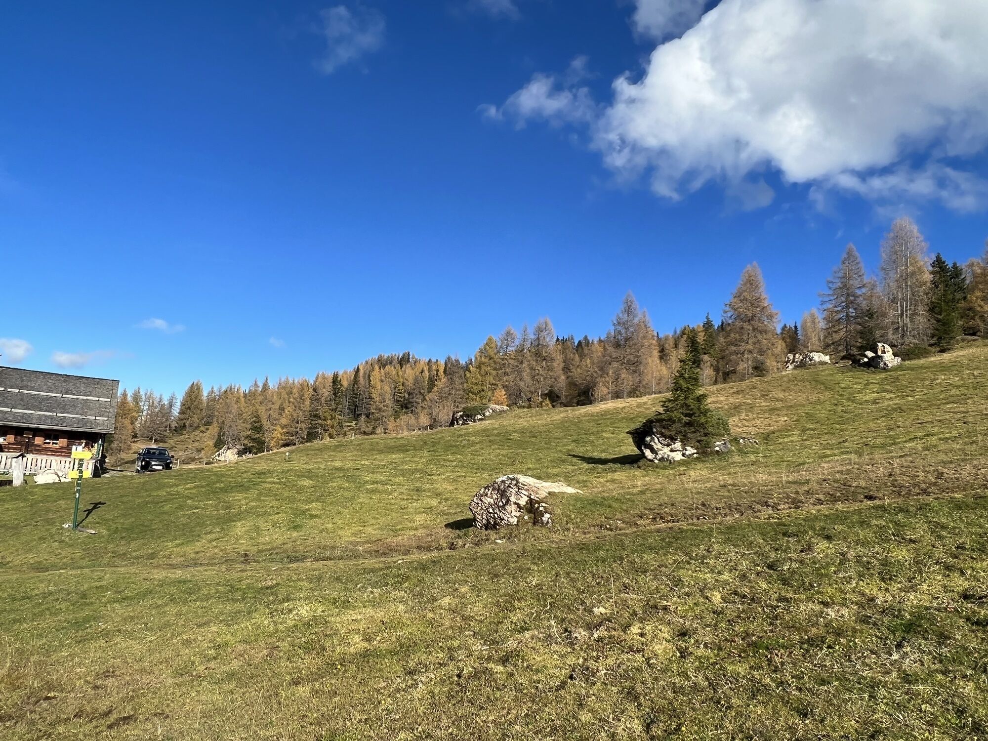
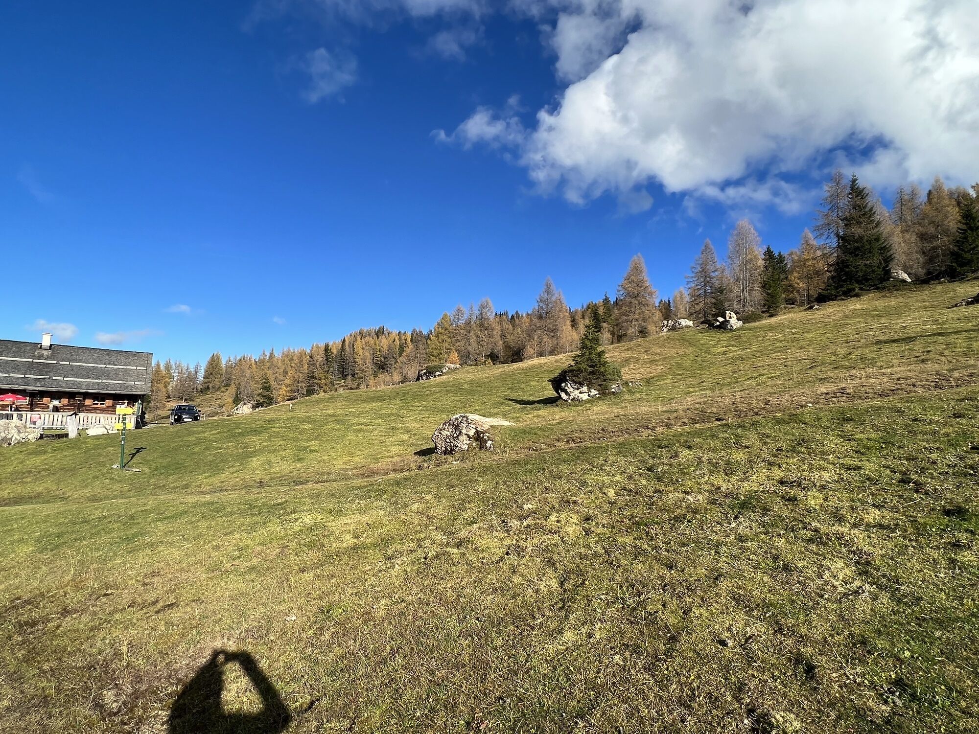
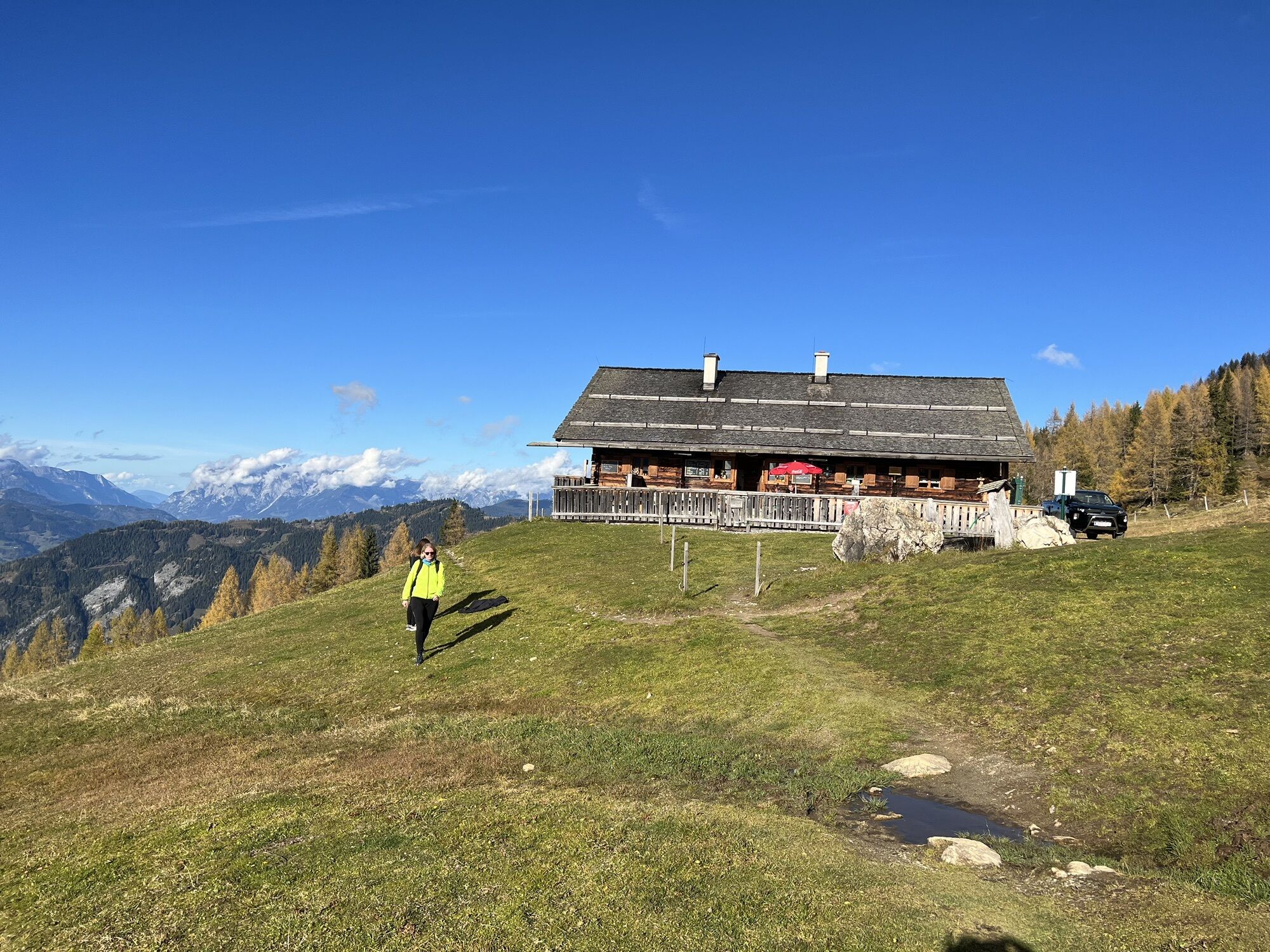
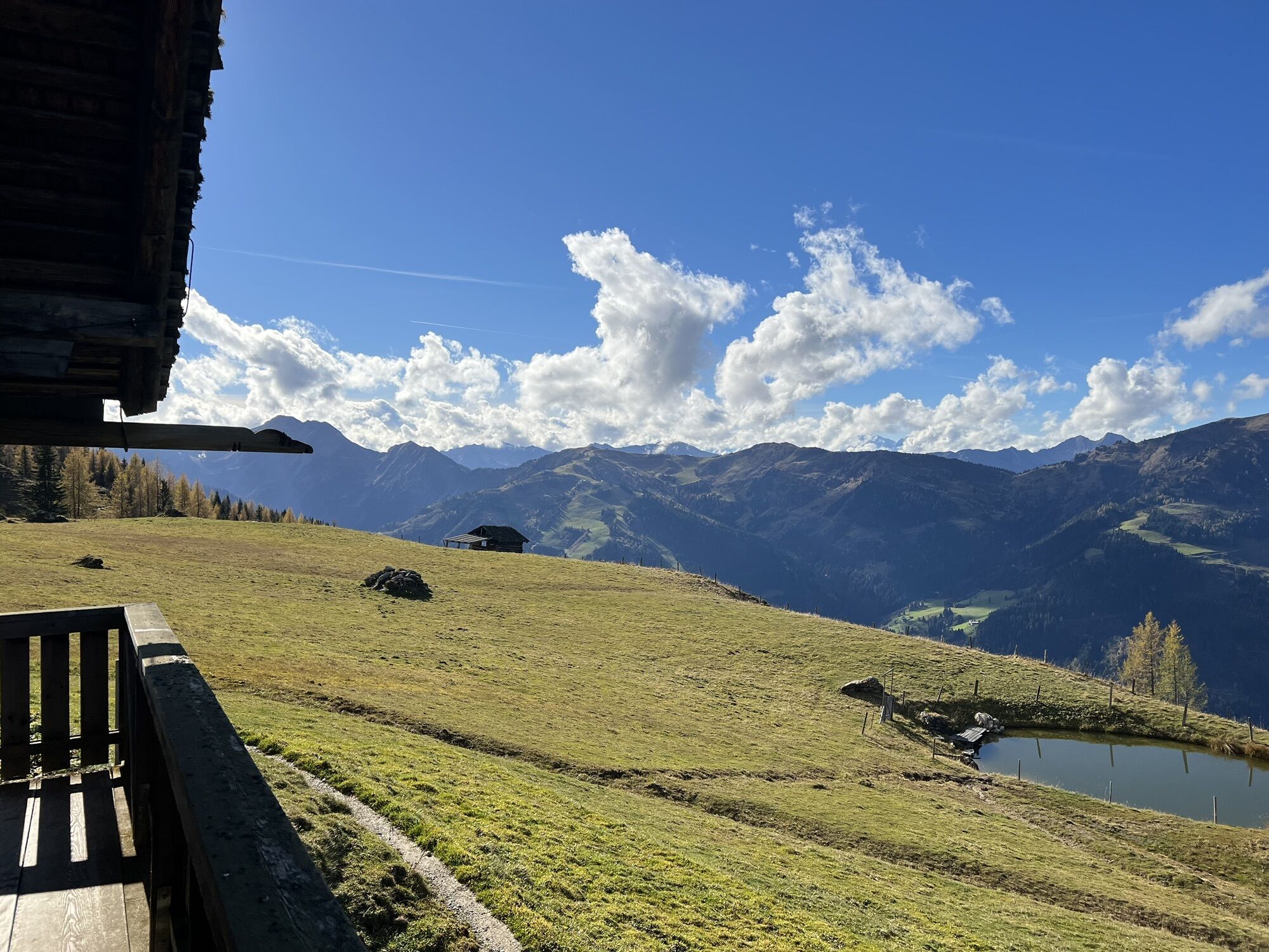
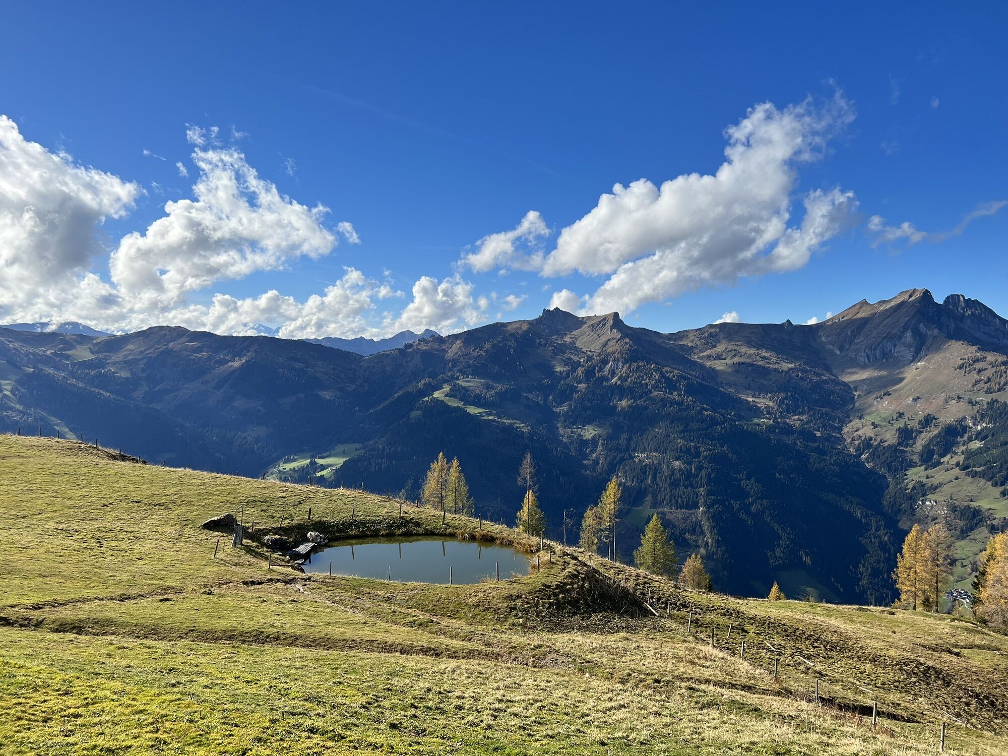
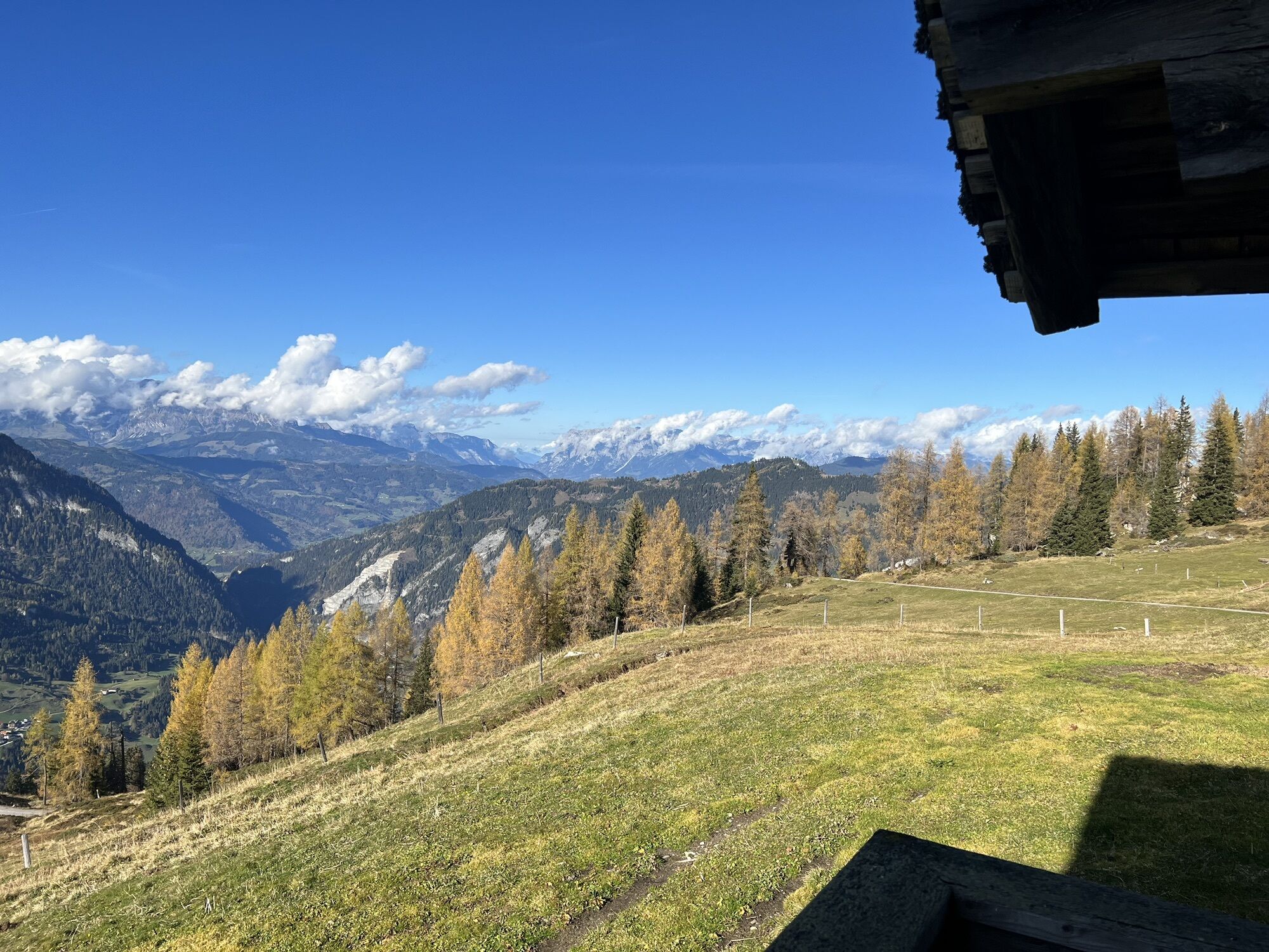
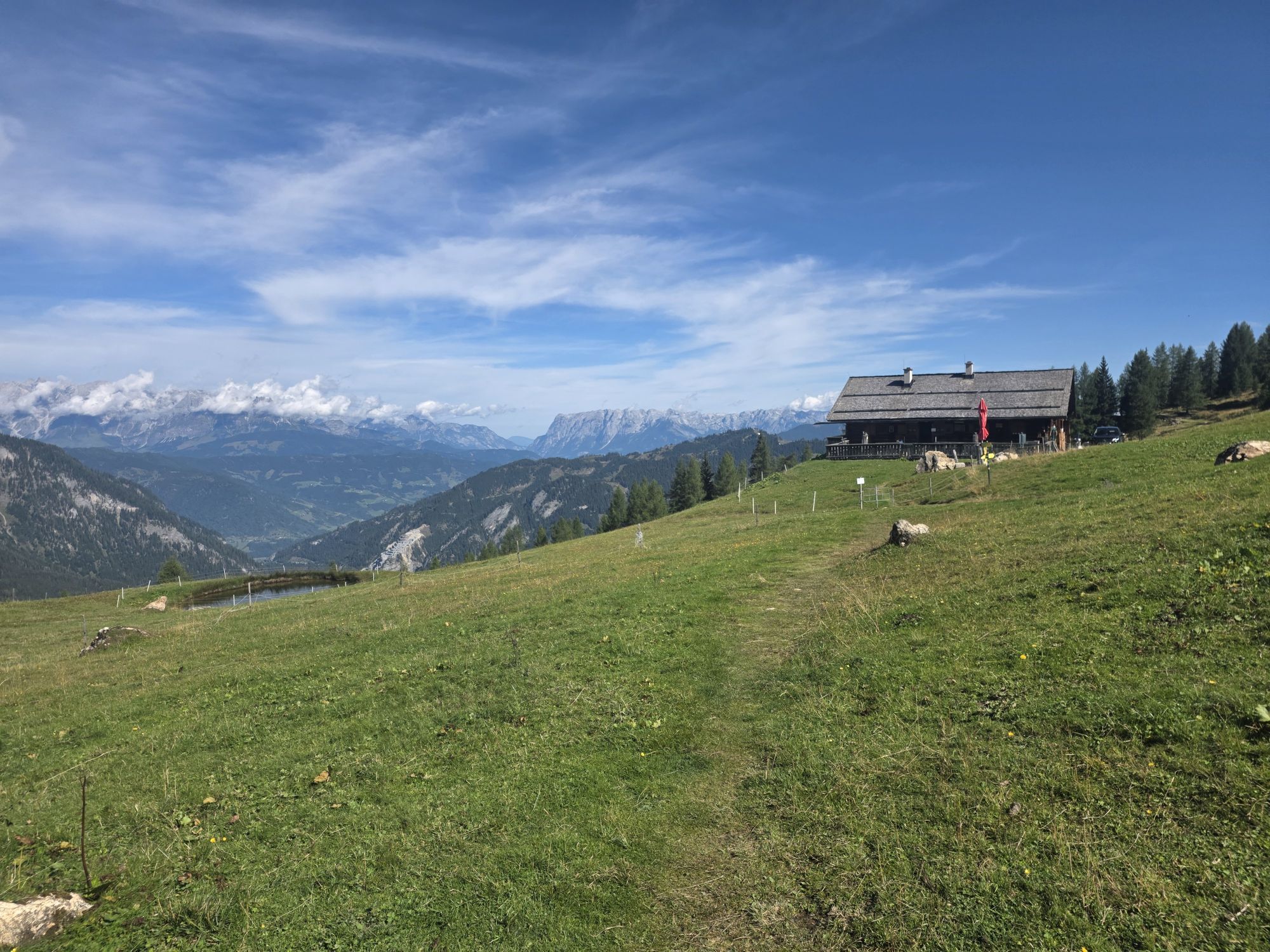
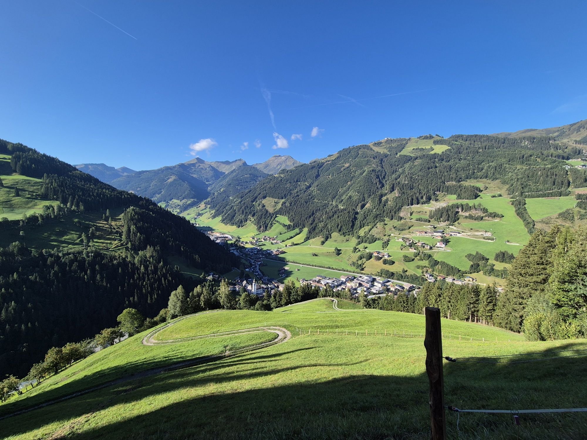
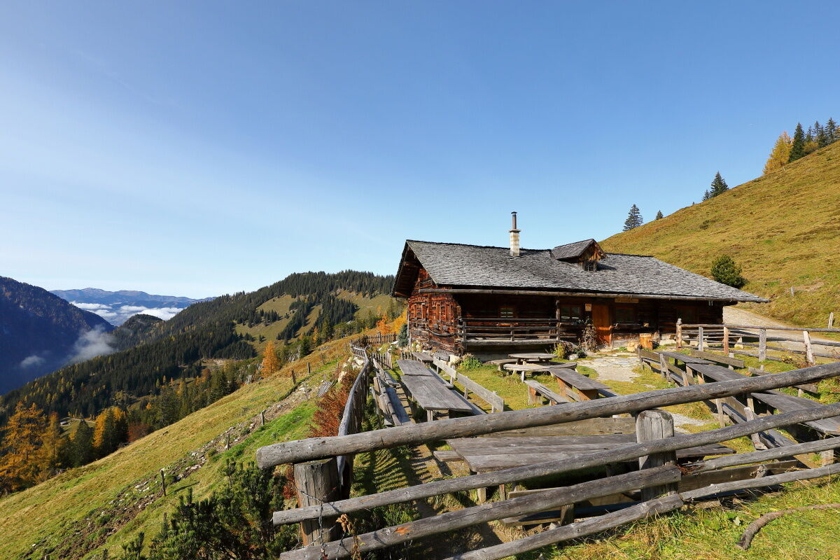
A forest road from Sonnegg Bridge leads through a spruce high forest upwards to the Muggenfeld and to the Maurachalm. You can shorten the path a bit via trails through the forest. Suddenly the forest thins and alpine meadows spread out. The Maurachalm is the northernmost alpine pasture in Großarltal and is particularly known for its exquisite schnapps (rowan or elderberry). The herders often sing and make music here. Ascend via Auhofalm (not managed) to the Kitzstein (Gabel). From here you have a wonderful view of the Salzach Valley as well as Hochkönig, the Tennen and Hagen mountains on one side and the Hohe Tauern on the other. Descend via the Oberwandalm (not managed) to the Karseggalm. The Karseggalm is probably one of the coziest huts in the entire Alpine region and with its approx. 400 years is one of the oldest. When entering the hut, you will be pleasantly surprised. The floor inside the hut is covered with clay and tree bark. It may well be that the "Wehstatt", as the "kitchen" is called in an old hut, is full of smoke. Here is an open fireplace, as most people can hardly imagine anymore. A specialty from Großarltal is made here: kneaded cheese. Once a week you can watch the herdsman or herdswoman making the typical sour cheese for Großarltal. Of course, culinary delights are also not forgotten here. But you will hike another half hour to the Unterwandalm. After this day tour you will be spoiled with delicacies from their own production such as bread, butter, cheese, bacon or sausage. When the herdsman plays his accordion and the sun slowly sets (the sunsets here are particularly impressive), a cozy hut evening is guaranteed.
Day 2:
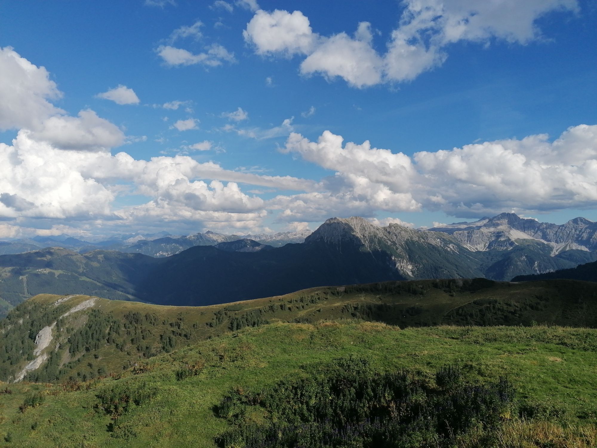
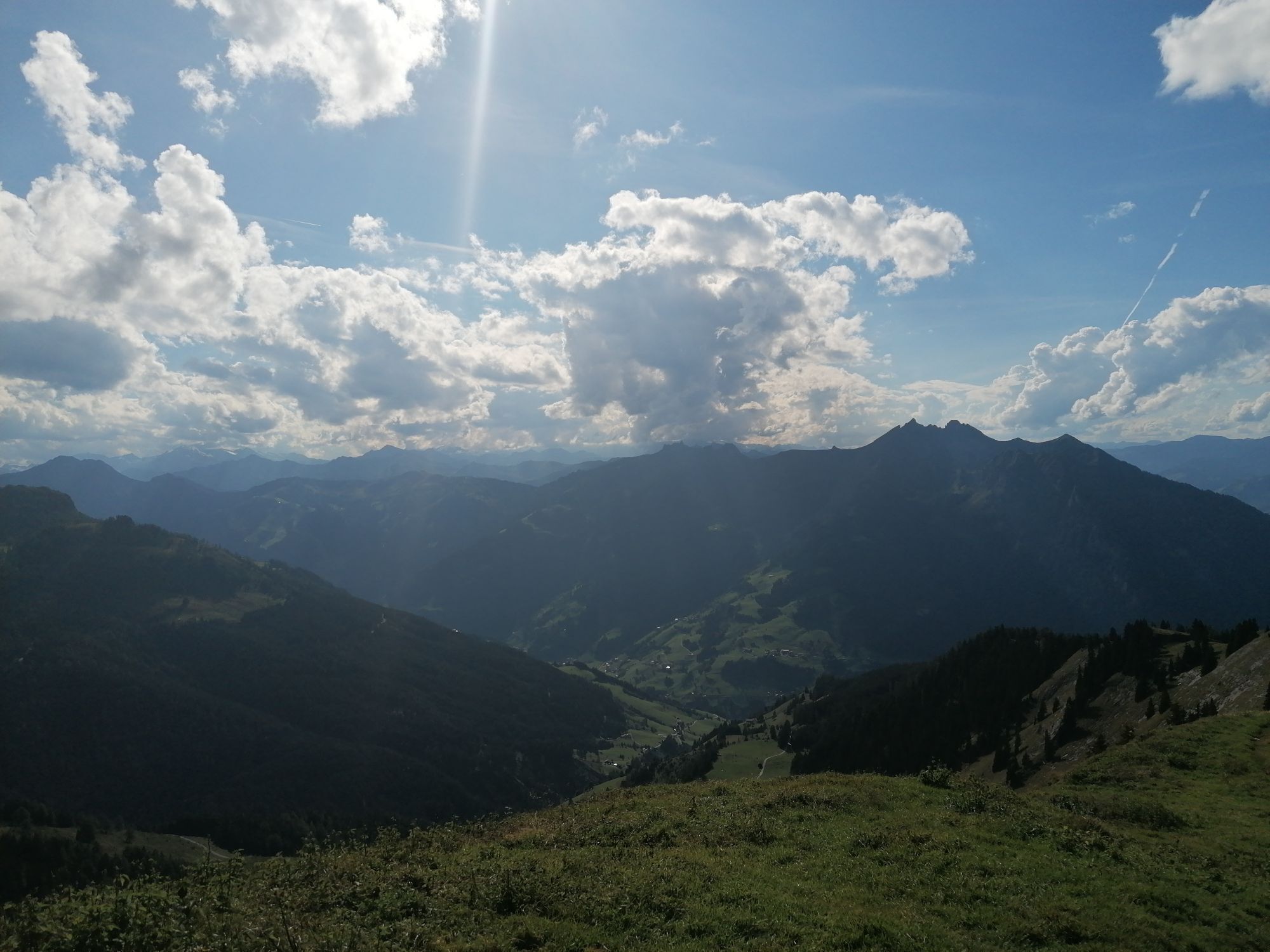
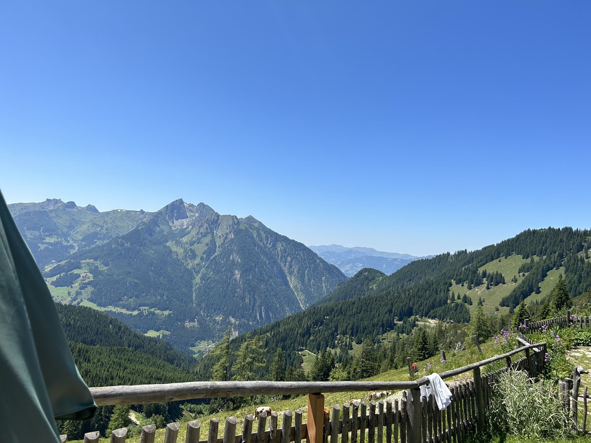
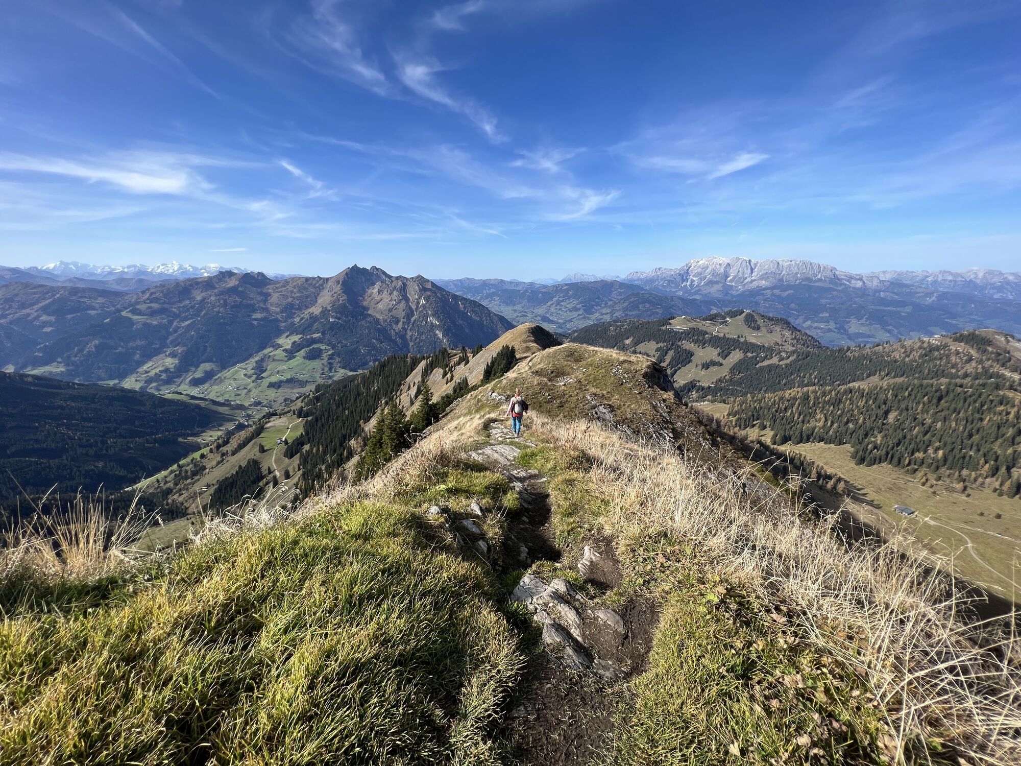
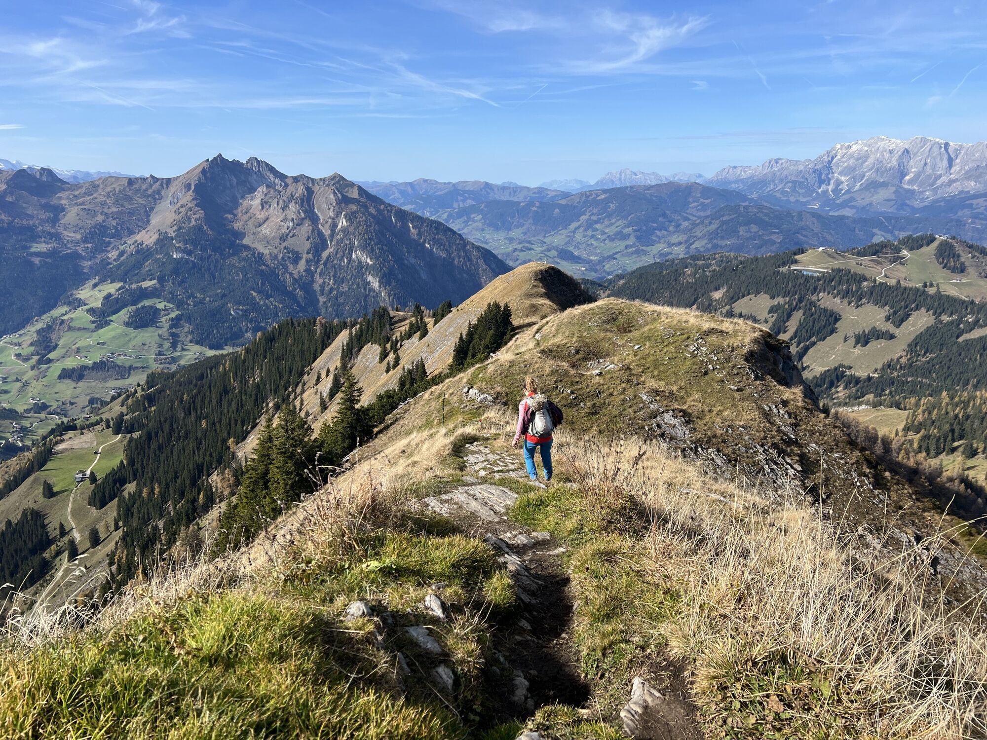
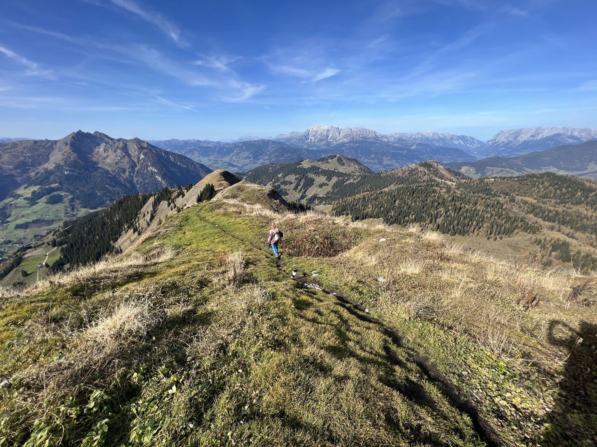
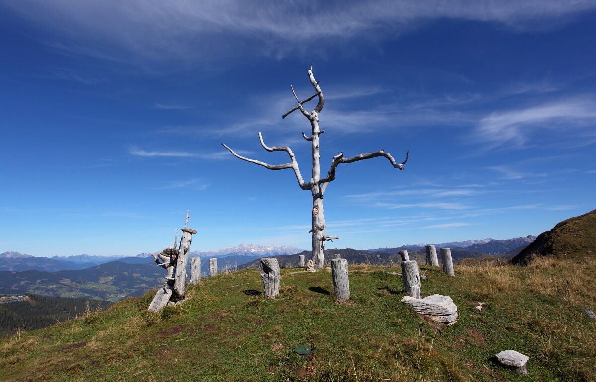
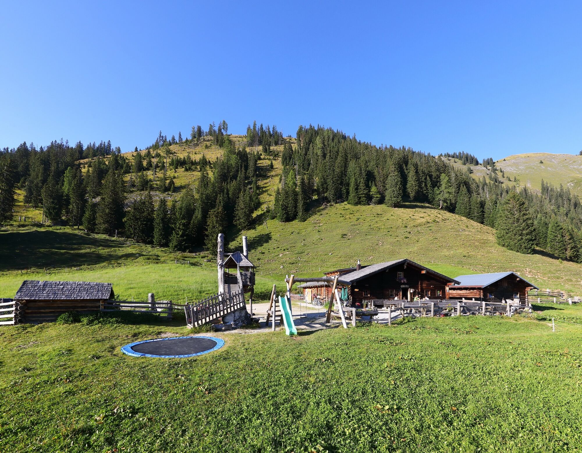
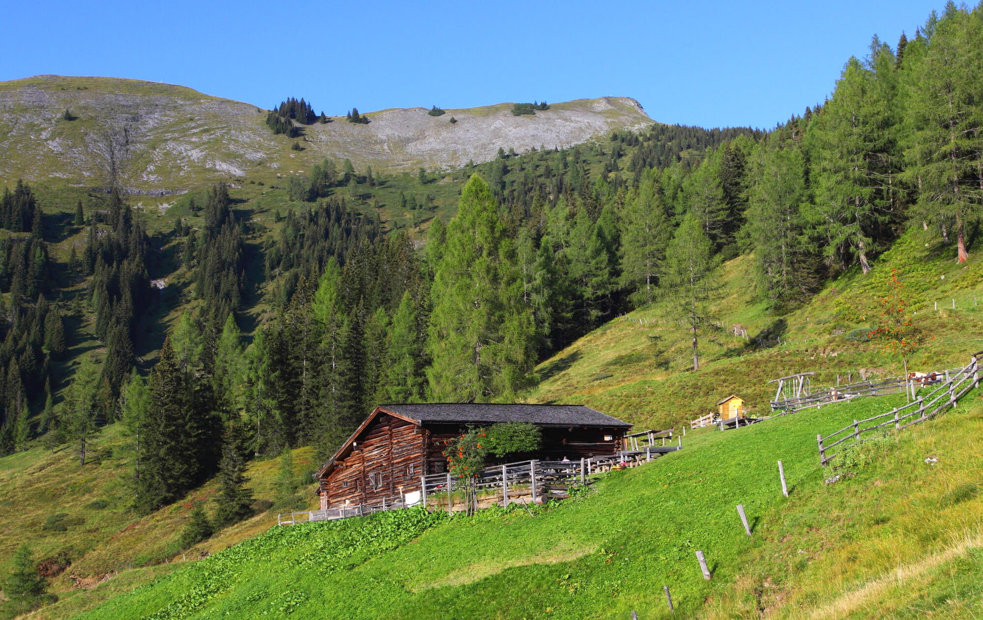
You are awakened on the alpine pasture by the ringing of cowbells. After a hearty alpine breakfast, the hike takes you back to the Karseggalm and onwards to the Großwildalm, where tired hikers are already awaited with a tasty snack. The route then continues leisurely past the Kleinwildalm to the Spatalm (both not managed) and over the Spatkar to the Saukaralm. This alpine pasture is the highest located in Großarltal. The view from here is simply unique. The Hohe Tauern, Hochkönig as well as the Tennen and Hagen mountains make this one of the most beautiful viewpoints in Großarltal. The descent goes past the Röschenbergalm (not managed) to the Gerstreitalm. Here again you will be spoiled with delicacies from their own production and you will spend the night in the quarters.
Day 3:
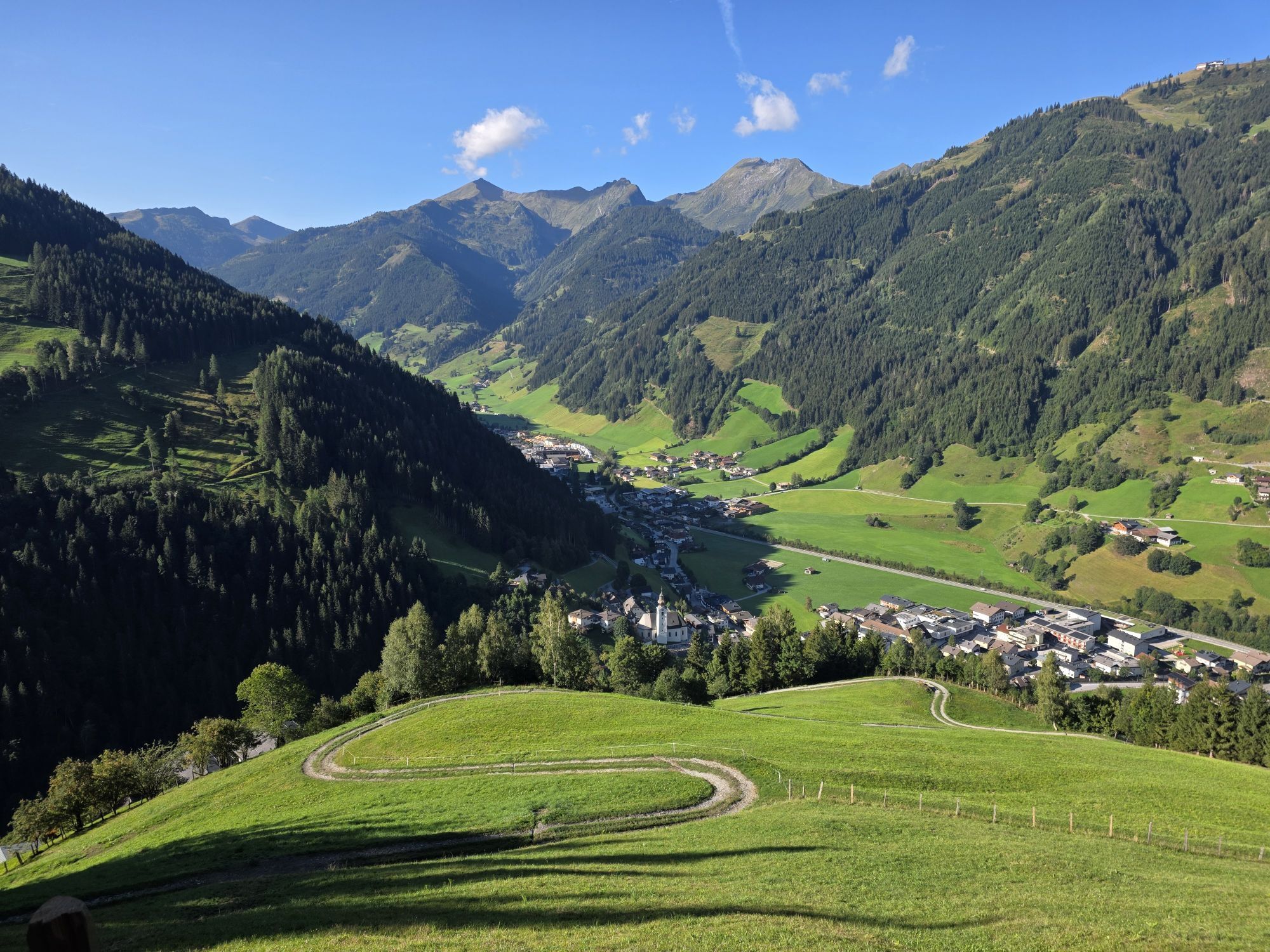
Well rested and strengthened by a delicious alpine breakfast, the route continues downhill to the farm Vorderstadluck. Here you have the option to take the hiking taxi to the valley. Or you can decide to descend via Hertas Rast to the town center of Großarl.
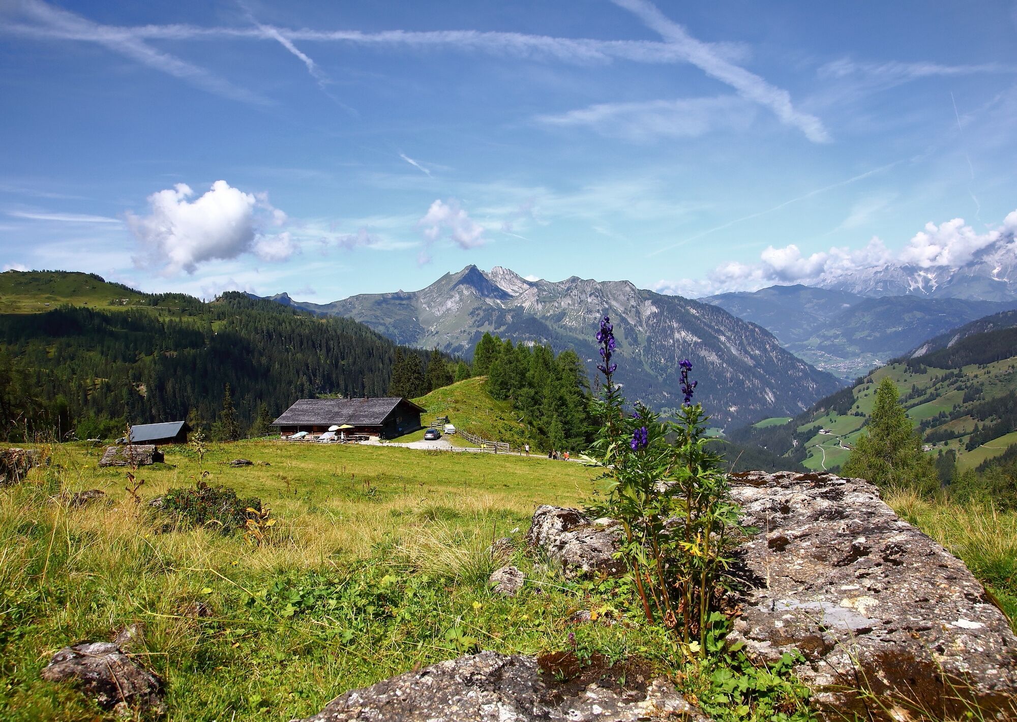
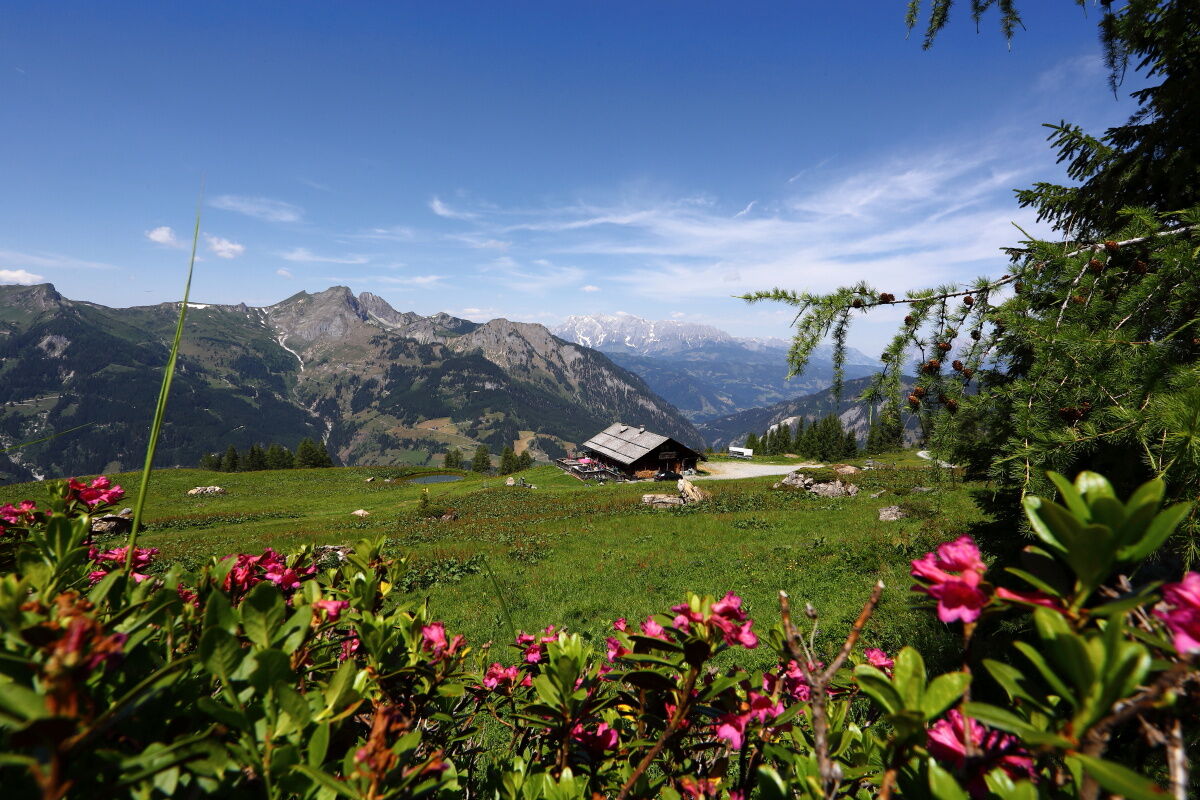
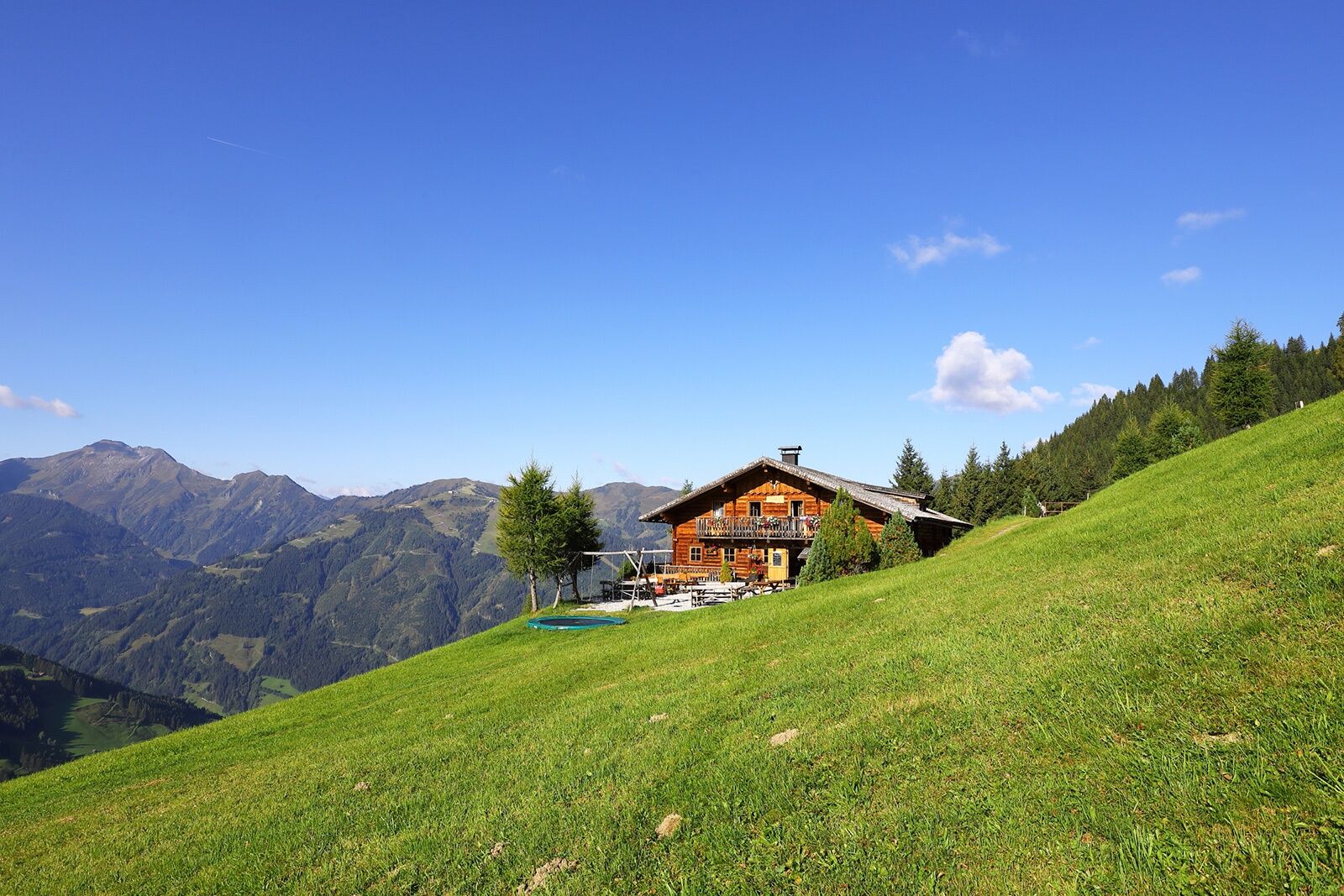

Day 2: Hiking from Unterwandalm to Karseggalm (approx. 1/2 hour), then continue along the forest road towards Breitenebenalm, but at the Breitenebenalm junction continue straight along the forest road. Now take path no. 67 to the Großwildalm, 1,778 m (from Karseggalm approx. 1 1/2 hours). Hike along alpine path no. 63 continuing over the Kleinwildalm, 1,806 m (approx. 1/4 hour, not managed) and the Spatalm, 1,808 m (approx. 1/2 hour, not managed) into the Spatkar. From here hike along the "Ellmautal high path" (path no. 64) to the Saukaralm, 1,820 m (approx. 3/4 hour). Descent on path no. 65 to the Röschenbergalm, 1,744 m (not managed) and further on path no. 65A to the Gerstreitalm, 1,575 m (approx. 1 hour) – overnight stay at Gerstreitalm. Total walking time: approx. 4 1/2 hours
Day 3: Descent on path no. 65A, then 65 to the farm Vorderstadluck (approx. 1 hour – from here possibility to take the hiking taxi down to the valley). Continue on path no. 17 "Hertas Rast" to the town center of Großarl (approx. 1 hour). Total walking time: approx. 2 hours
Ano
Hiking boots with tread sole, some fruit, drinks (refillable bottles), wind and rain protection, toiletries, warm clothes and change of clothes, flashlight, mini first aid kit, hiking map, sunscreen, chocolate or muesli bars, …
Drive by car or hiking taxi via Sonneggweg in the district of Au up to Sonnegg Bridge.
Parking available at Sonnegg Bridge
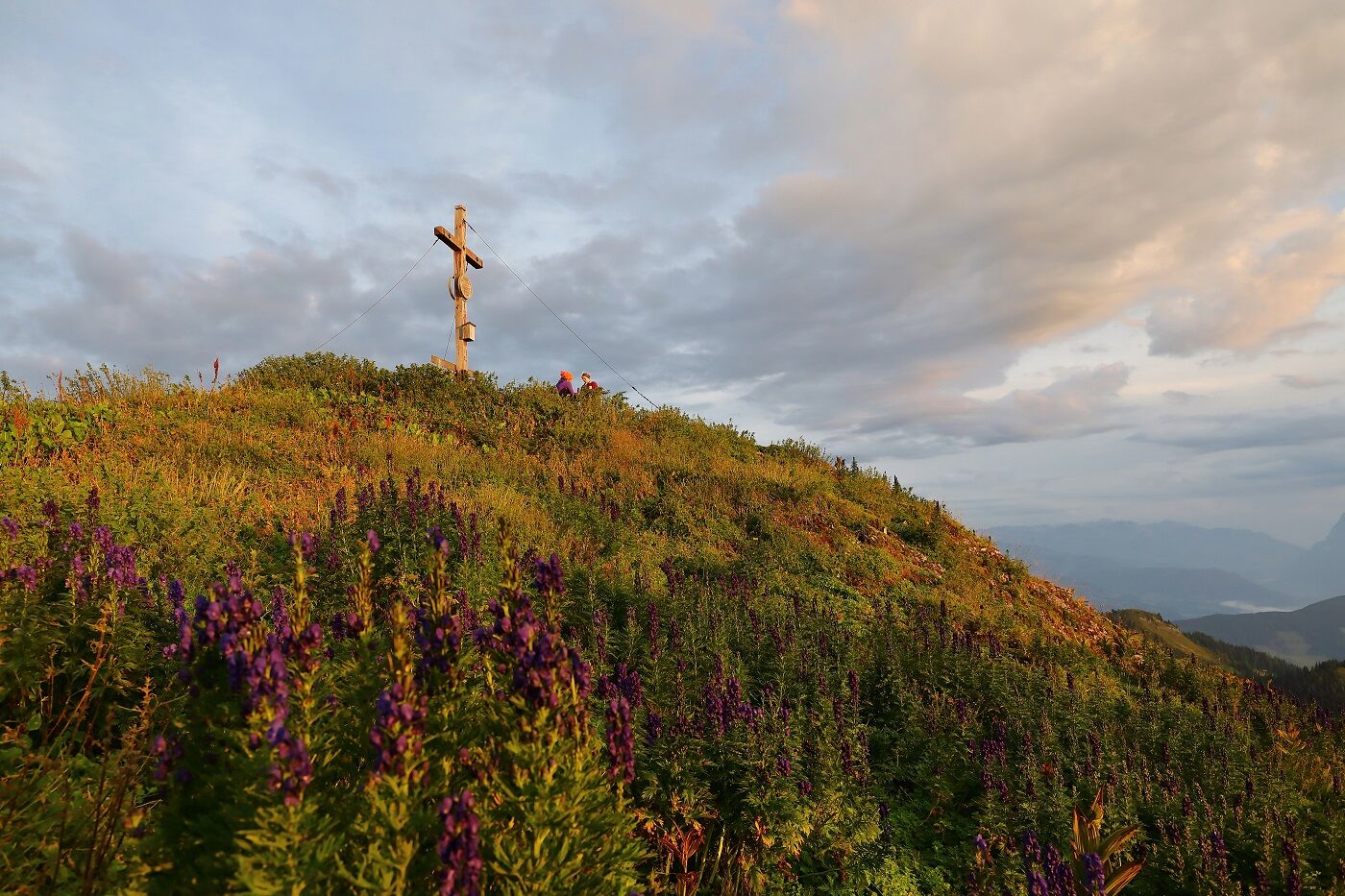
Sunsets are especially beautiful on this route.

Webové kamery z prohlídky
-
Kreuzkogel
-
Fulseck
-
Gernkogel - Alpendorf St. Johann
-
Hotel Lammwirt im Großarltal/Ellmautal
-
Dorfgastein - Spiegelsee
-
Bergstation 6er Sesselbahn Harbach
-
Ellmautal - Palfenhof
-
St. Johann-Alpendorf
-
Kühhagerbahn Bergstation
-
Großarl - Ort
-
St.Johann-Alpendorf Gernkogel
-
Gernkogel - Alpendorf St. Johann
-
Gernkogel - Alpendorf St. Johann
-
Mooslehen Berg
-
Großarl - Loosbühelalm
-
Großarl - Kieserlbahn
-
Grossarl - Hotel Gasthof Schützenhof
-
Großarl - Hotel Kristall Übungslift
-
Bergstation Kieserl
-
Fulseck
-
Fulseck
-
Fulseck
-
Fulseck
-
Fulseck
-
Fulseck
-
Fulseck
-
Gernkogel - Alpendorf St. Johann
-
Gernkogel - Alpendorf St. Johann
-
Gernkogel - Alpendorf St. Johann
-
Gernkogel - Alpendorf St. Johann
-
Großarl
-
St. Johann-Alpendorf
-
St. Johann-Alpendorf
-
St. Johann-Alpendorf
-
St. Johann-Alpendorf

Oblíbené prohlídky v okolí
-
5.0
Hüttschlag: Karteistörl - Tappenkarsee - Draugsteintörl - Draugsteinalmen
středníTuristika 13.5 km -
4.9
4-Gipfel-Tour
středníHorská turistika 6.40 km -
4.9
Großarl: Aualm - Liechtensteinkopf - Aukopf - Schuhflicker - Schuhflickersee
středníTuristika 5.84 km -
4.9
Großarl: Heukareck
středníTuristika 12.5 km -
4.2
Tappenkarsee Kleinarl
středníTuristika 9.11 km -
5.0
Großarl: Alpine pasture circuit in Ellmautal
středníTuristika 9.69 km -
4.6
Großarl: Mooslehenalm – Niggeltalalm – Viehhausalm
středníTuristika 5.44 km -
4.6
Ski route Lackenkogel
středníLyžařská trasa 7.82 km -
4.7
Großarl: Saukaralm - Saukarkopf - Gerstreitalm
středníTuristika 9.39 km -
4.6
Grießenkareck
středníTuristika 4.89 km
Pěší turistika a stopování


Nenechte si ujít nabídky a inspiraci pro vaši příští dovolenou
Vaše e-mailová adresa byl přidán do poštovního seznamu.





