







Salzburger Almenweg - Stage 23: Neuberg – Gerzkopf – St. Martin
Úroveň obtížnosti: T2




Stage 23 of the Salzburger Almenweg leads from Filzmoos to St. Martin am Tennengebirge and over a beautiful summit with the Gerzkopf. The 1,728-meter-high mountain does not seem spectacular at first glance,...
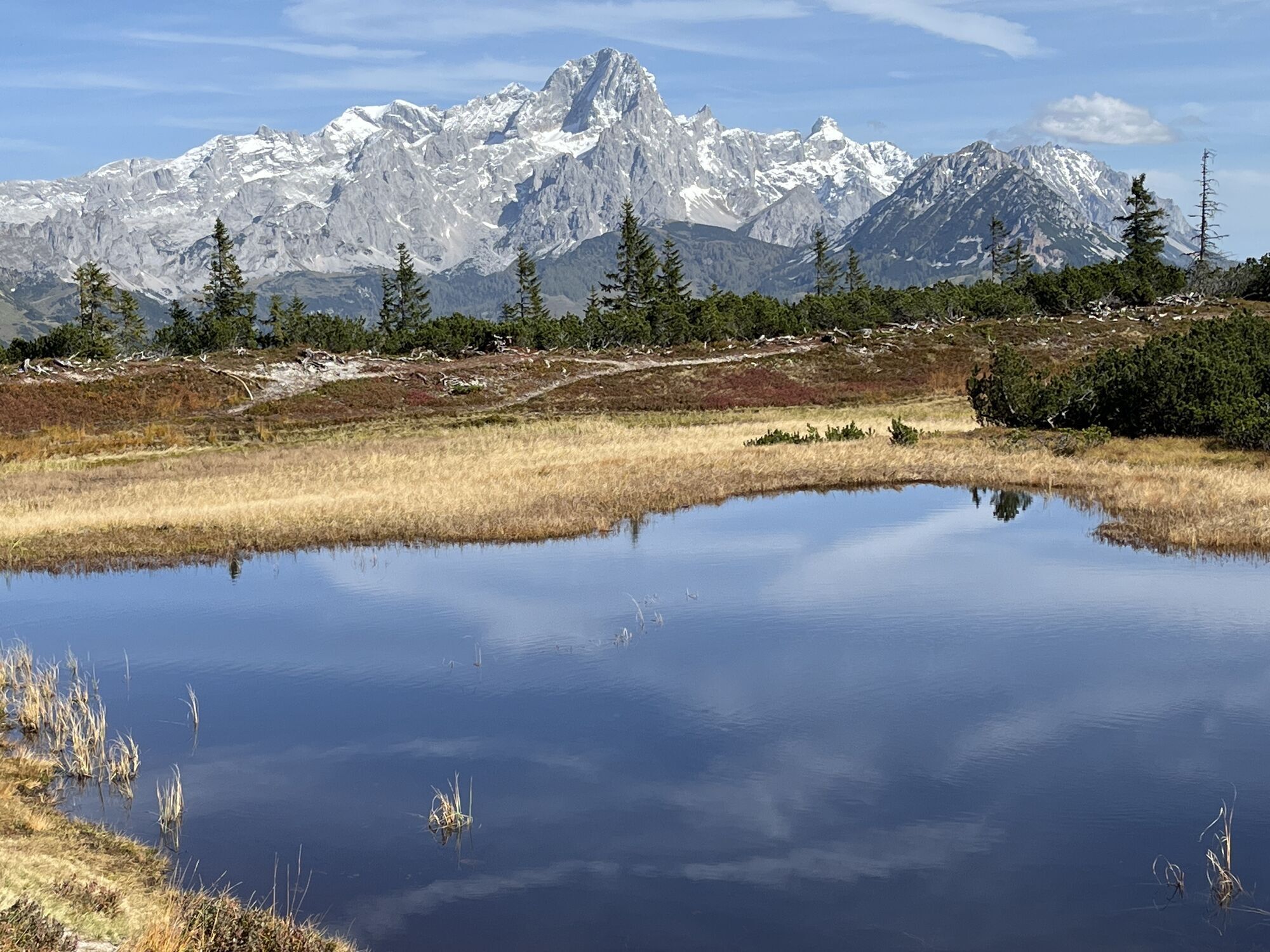
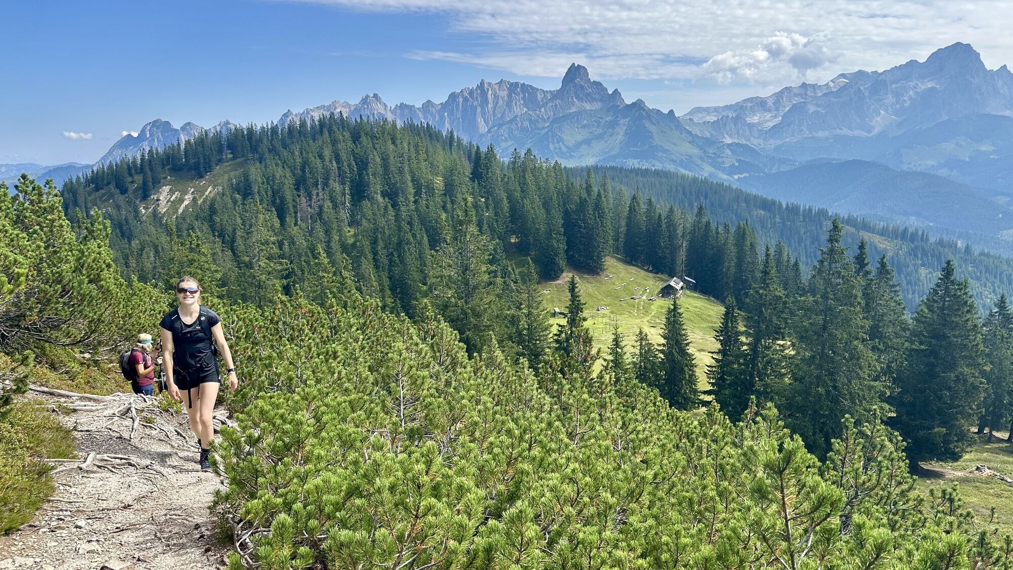
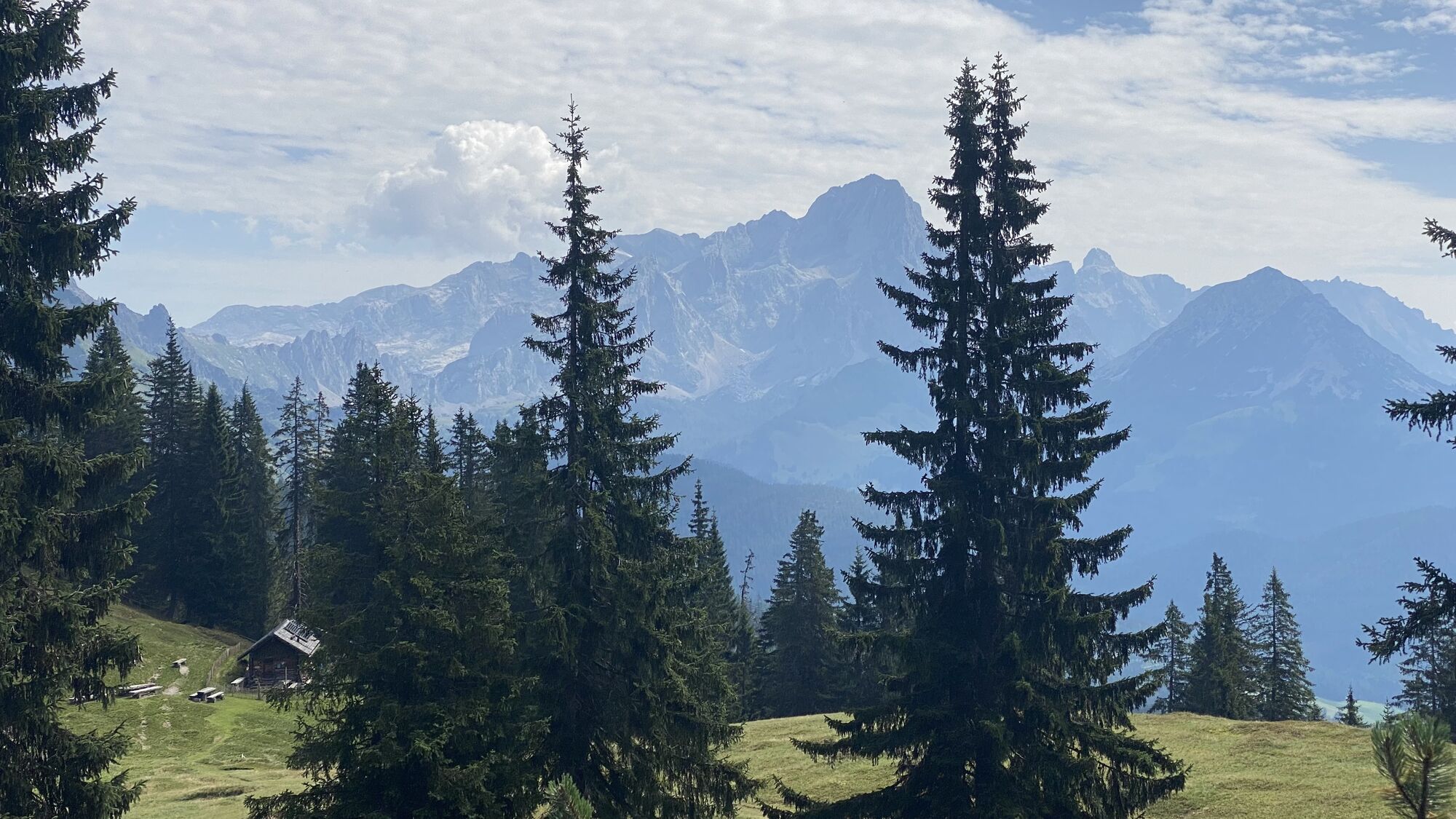
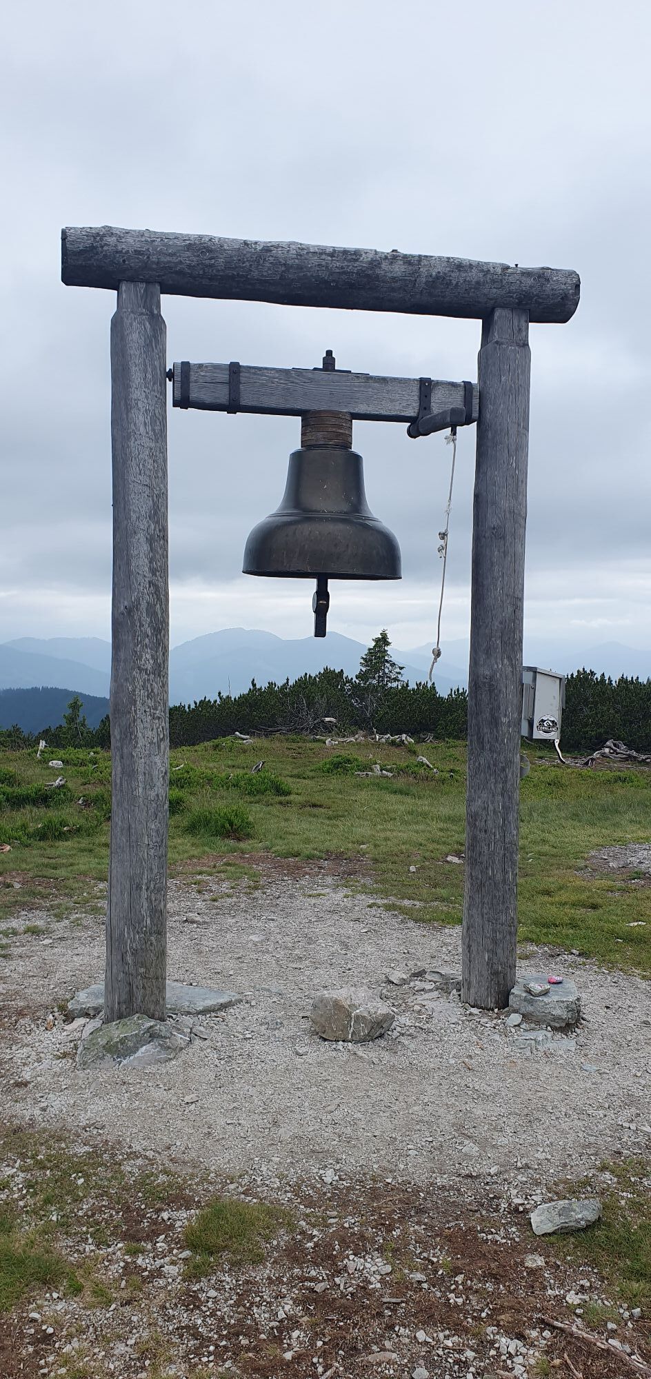
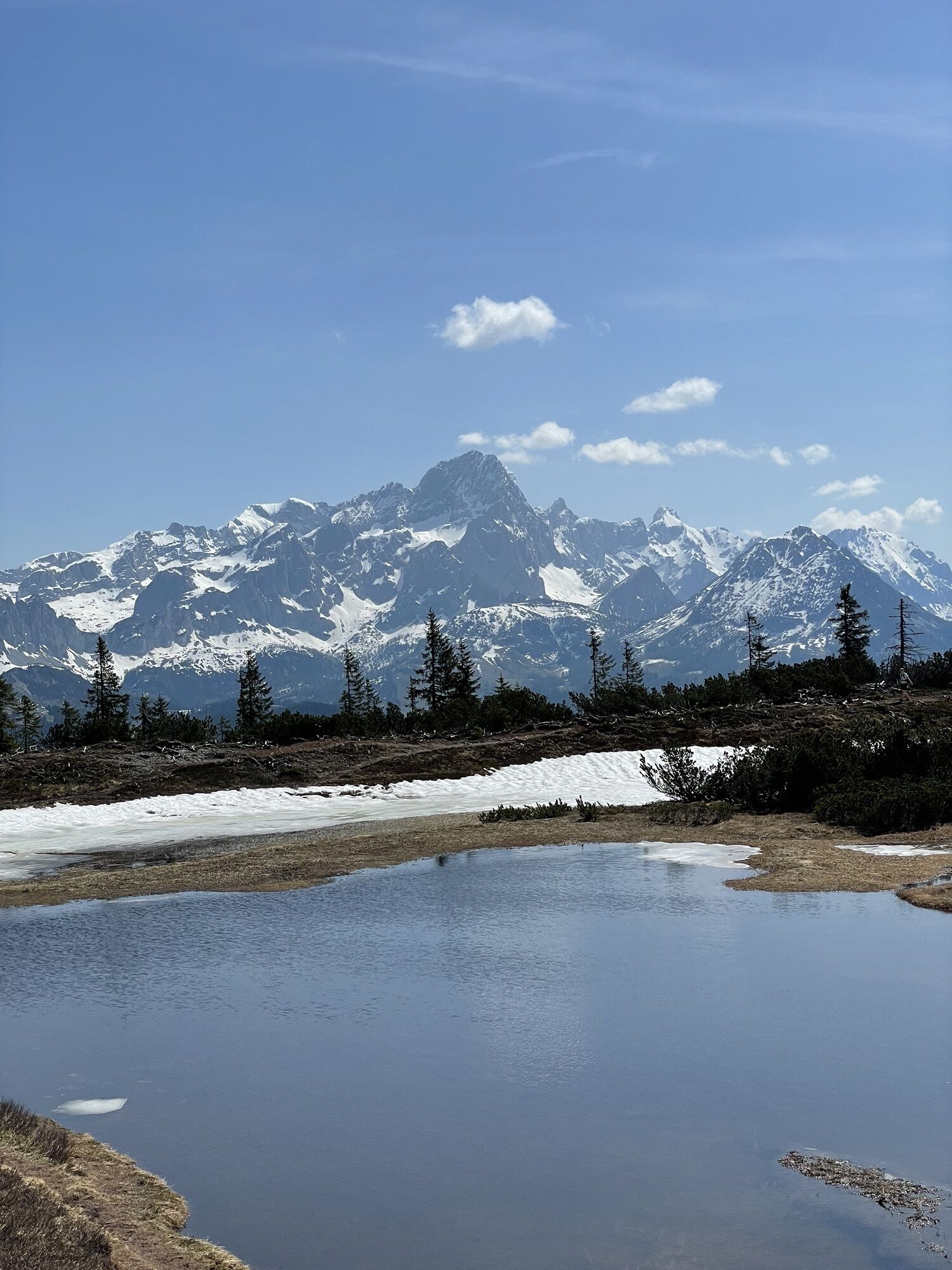
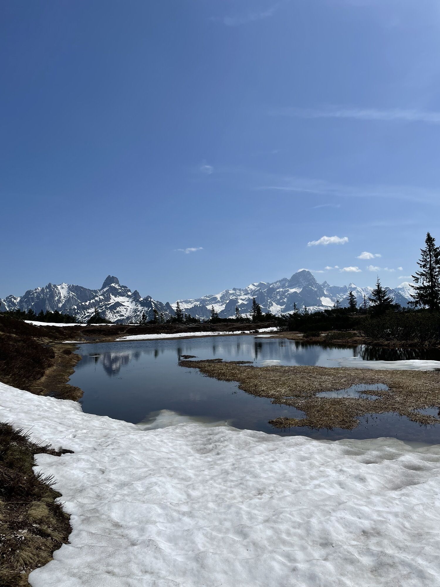
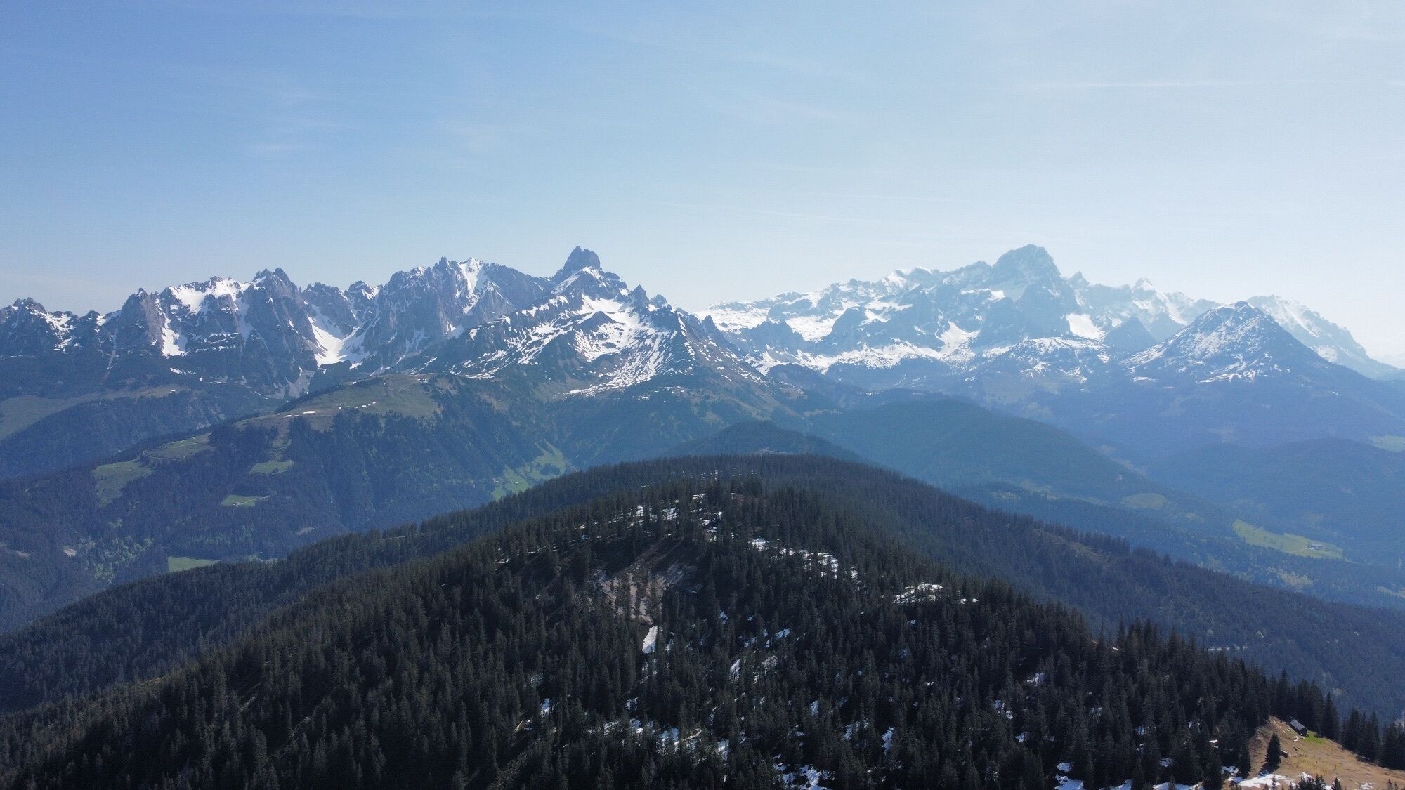
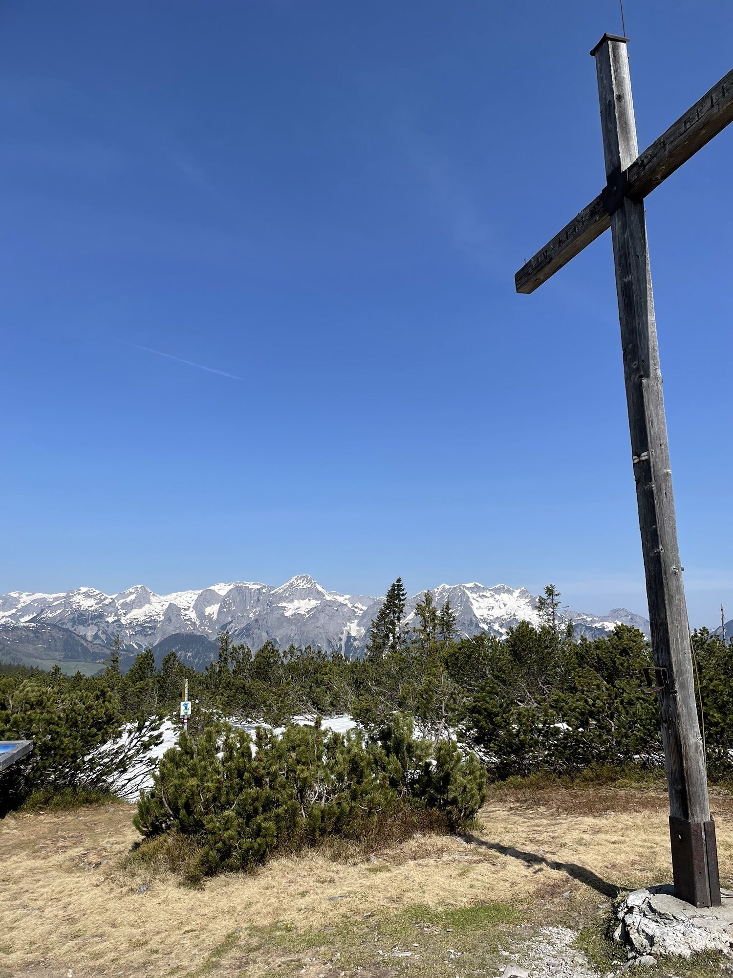
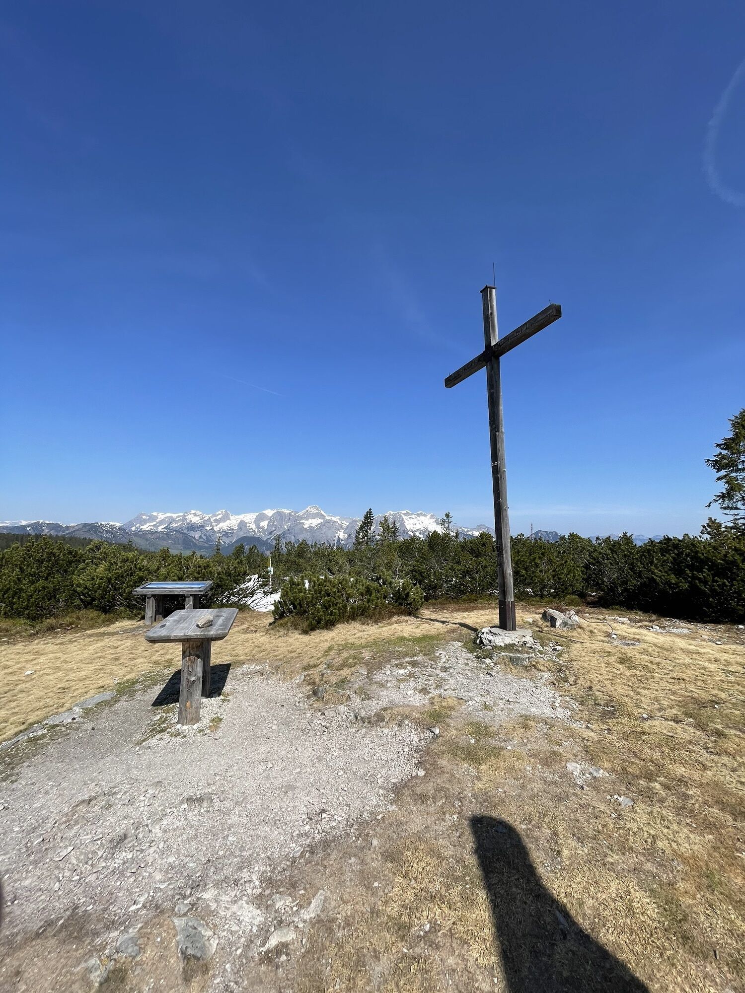
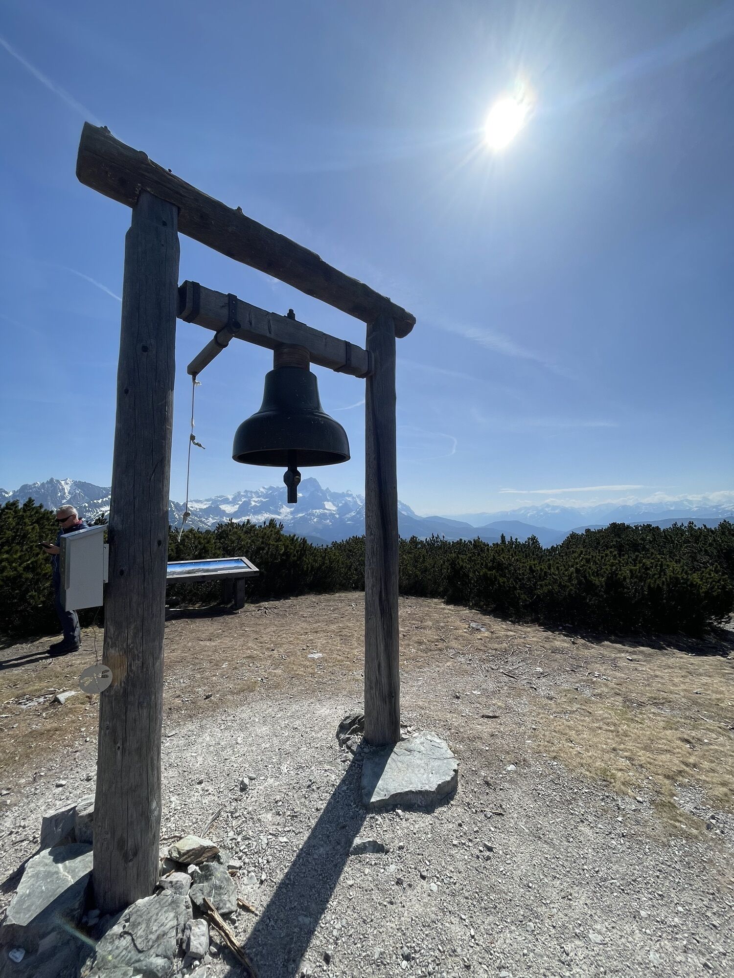
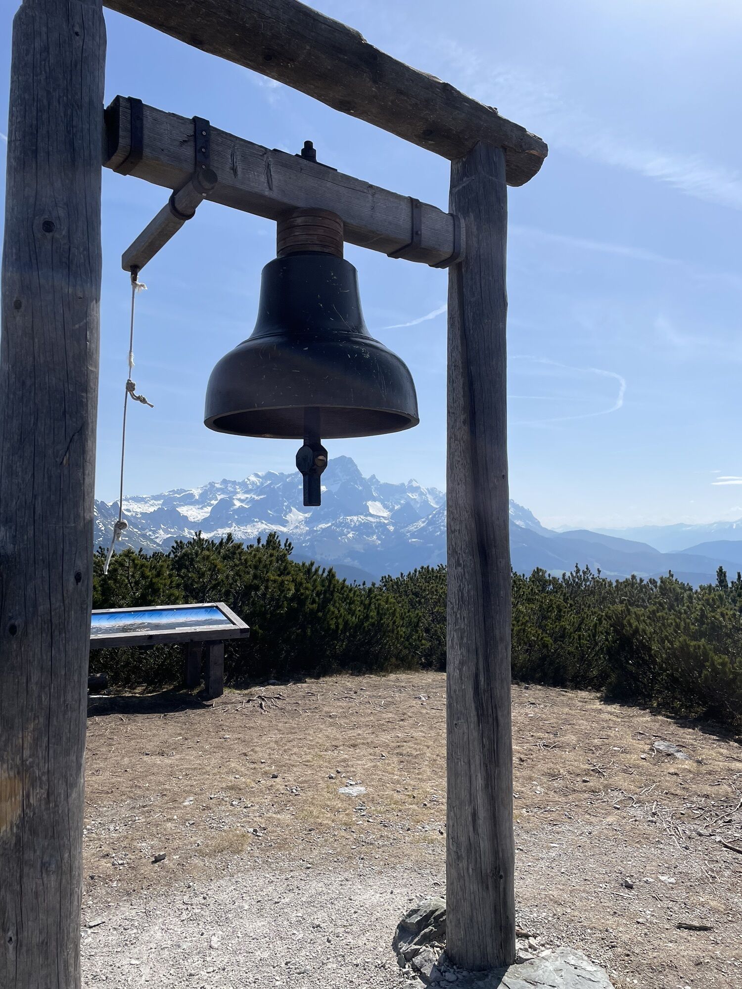
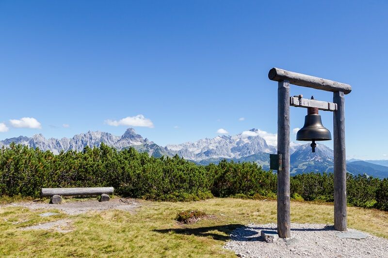
Stage 23 of the Salzburger Almenweg leads from Filzmoos to St. Martin am Tennengebirge and over a beautiful summit with the Gerzkopf. The 1,728-meter-high mountain does not seem spectacular at first glance, but it has some special features: It is one of the 17 power spots in Filzmoos, and on its summit plateau, the borders of the three Pongau municipalities Eben, Filzmoos, and St. Martin meet. From the summit, you have an overwhelming view of the Bischofsmütze, and here the wish bell is waiting to be rung by hikers. A visit to the 100-year-old shepherd's hut and a short rest at the legendary "Black Tarn" is also highly recommended. This European protected area is the habitat of particularly endangered animal and plant species. At the end of the stage, you spend the night in the town of St. Martin am Tennengebirge. In the evening, a visit to the Gothic parish church is worthwhile. Those who crave refreshment can enjoy an evening swim at the Seepark. Those who chose variant 22a on the previous stage will follow today's route of variant 23a.
Along the Way
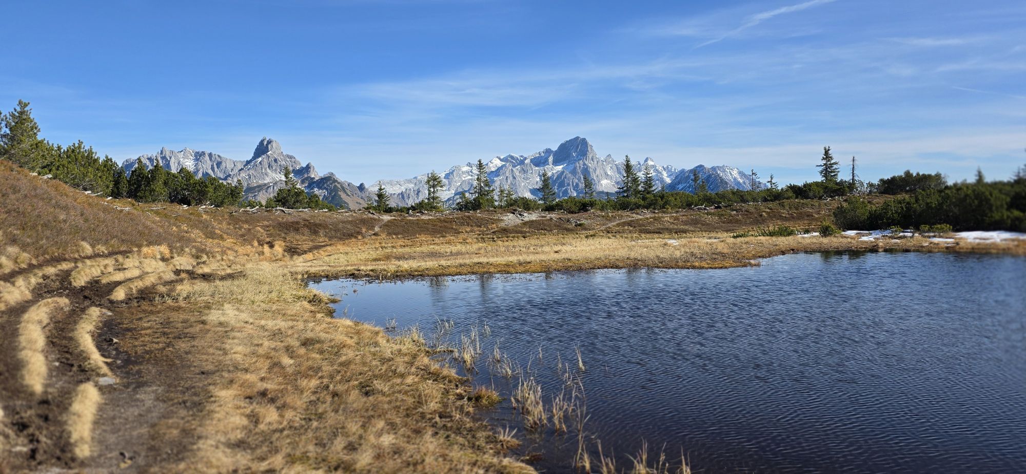
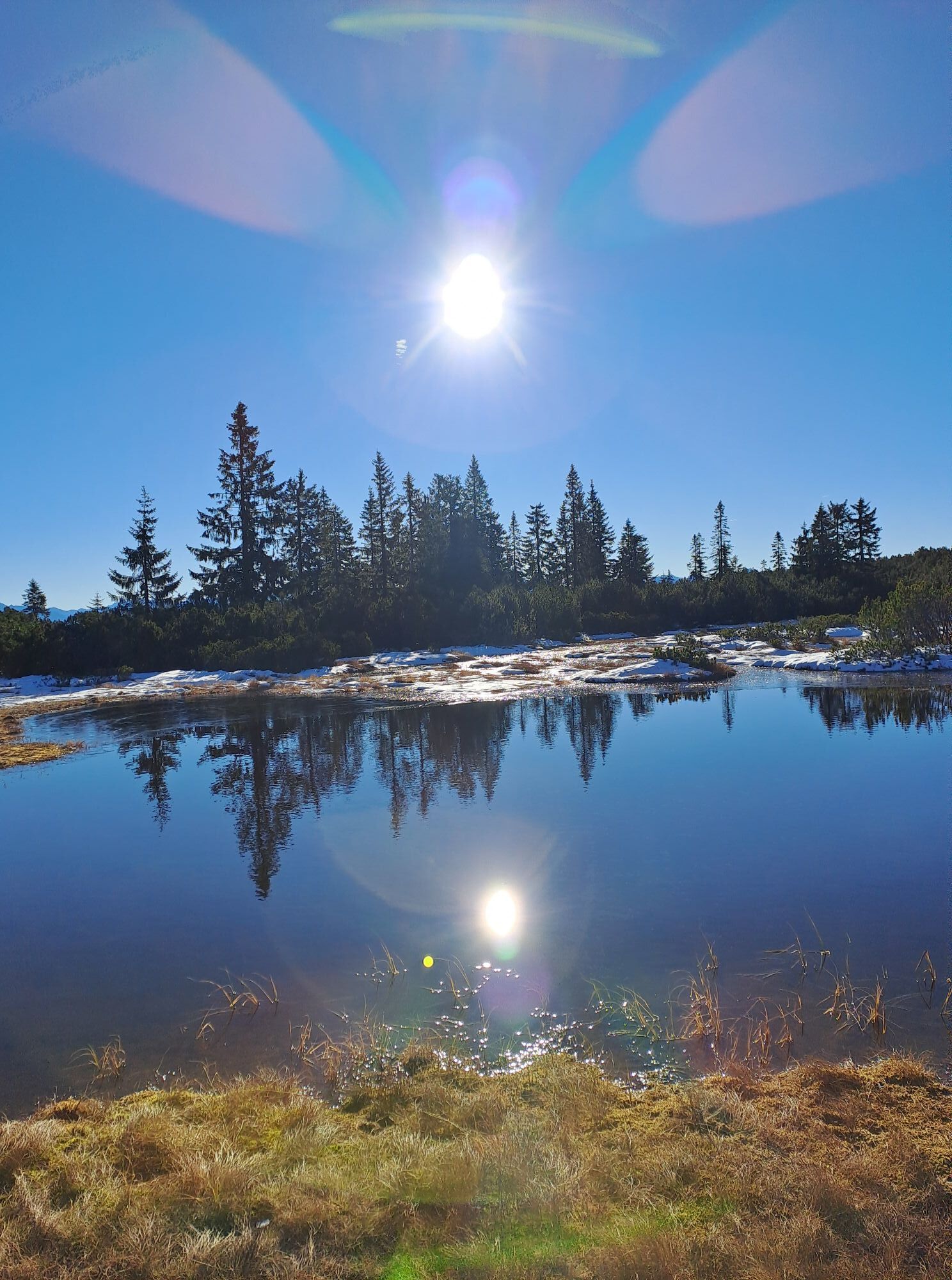
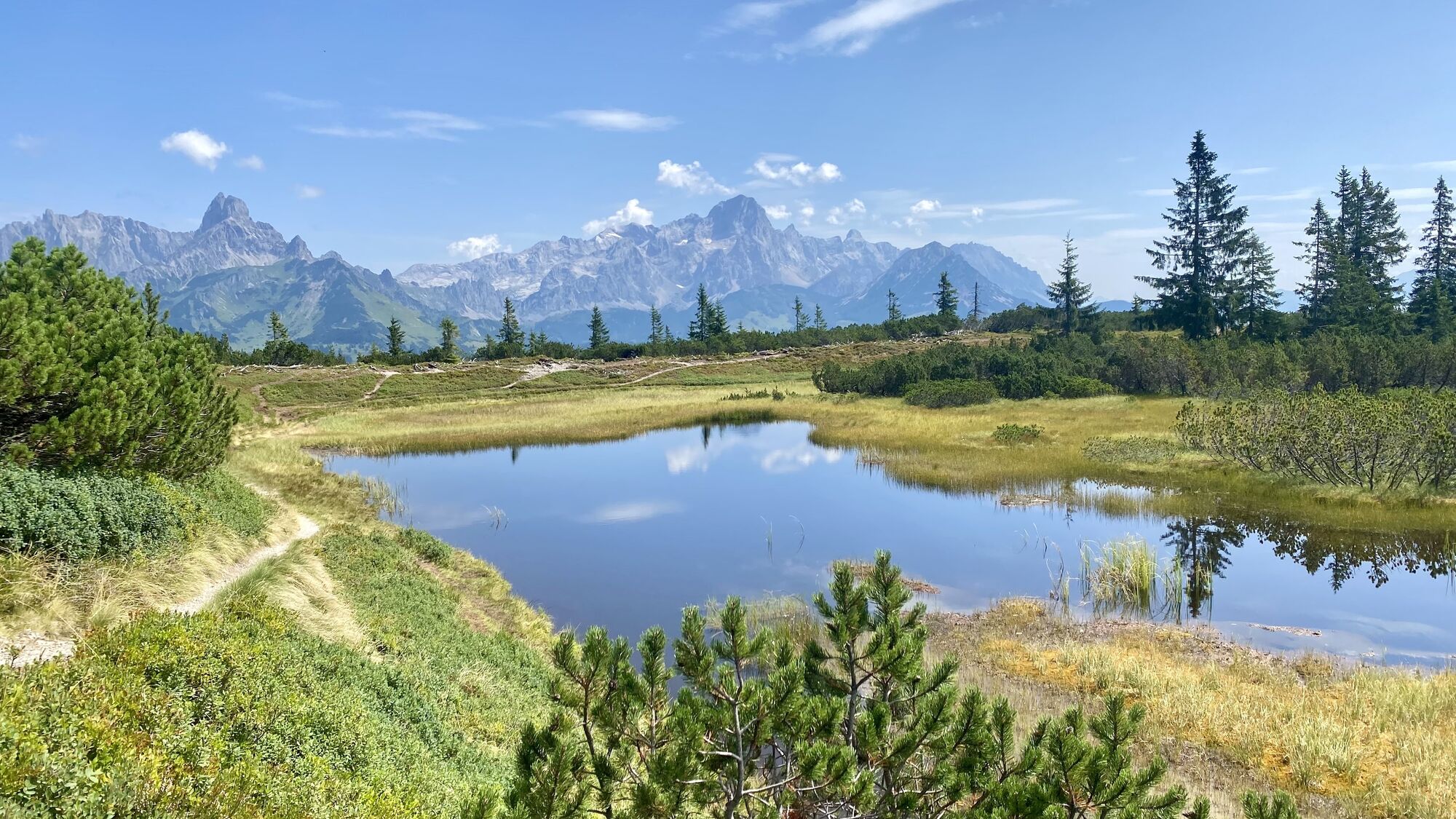
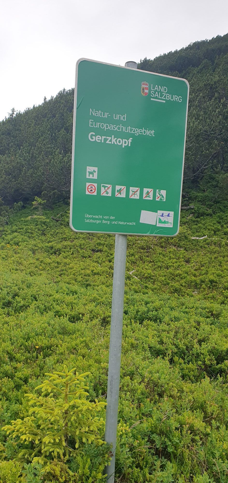
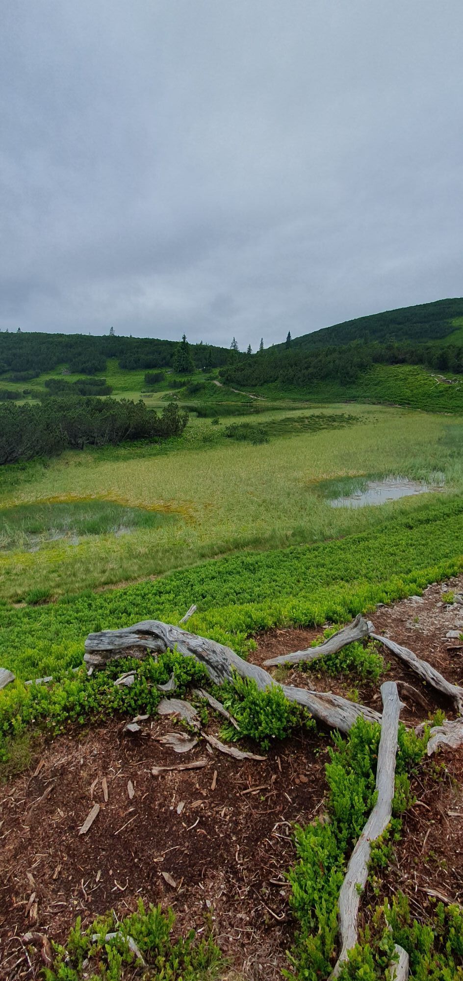
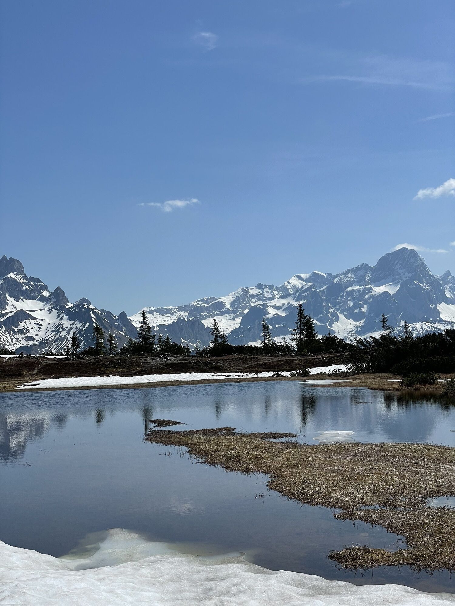
Below the summit of the Gerzkopf is the summit moor "Europe and nature reserve Gerzkopf," an extremely rare and fragile high-altitude habitat: many endangered animal species, such as various dragonfly species, including the alpine mosaic darner or the banded demoiselle, find their habitat here, as do white-backed woodpeckers, capercaillies, and tree pipits. The "Black Tarn," as the small pond is also called, is said to contain another secret: according to legend, a golden carriage and treasure chest lie at its bottom.

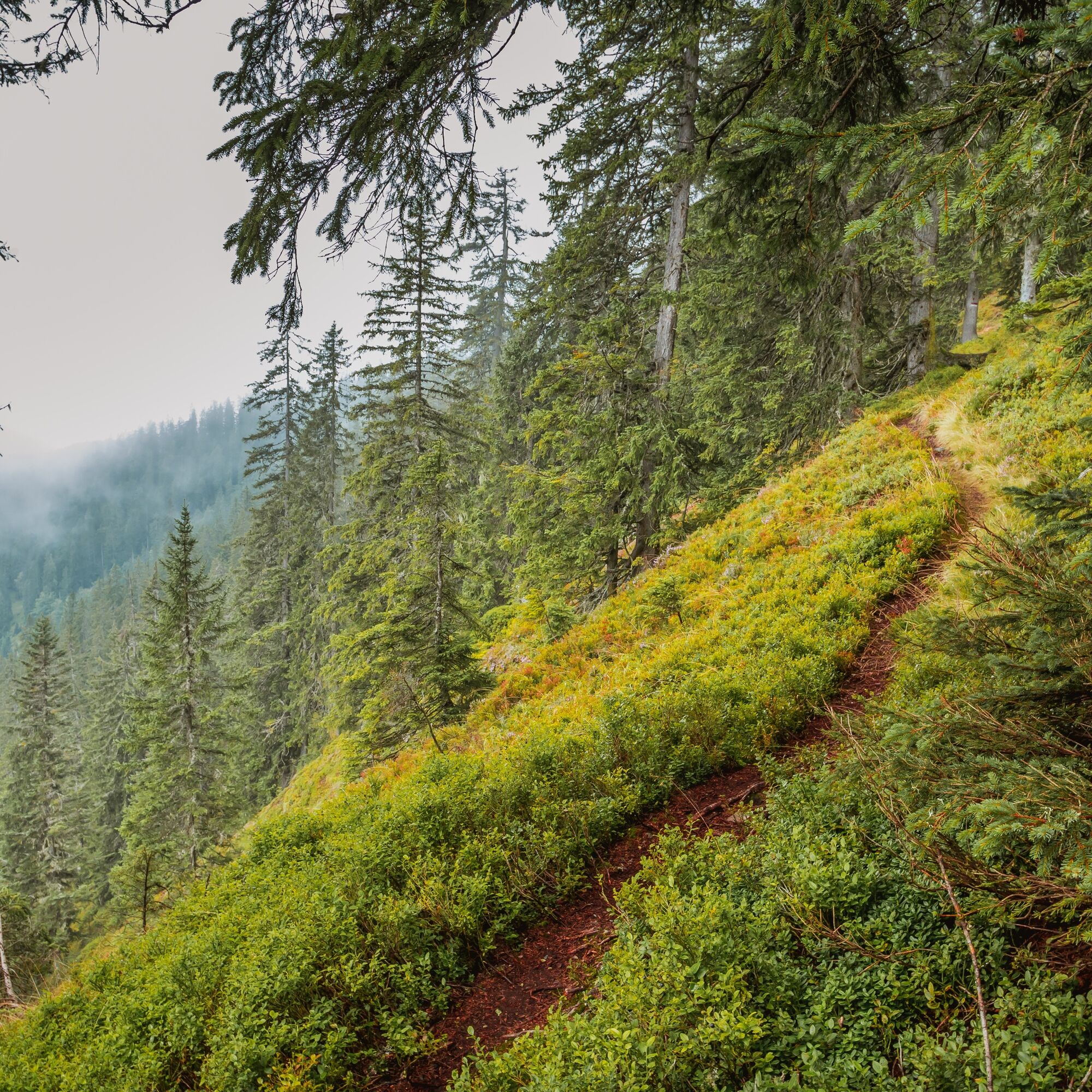
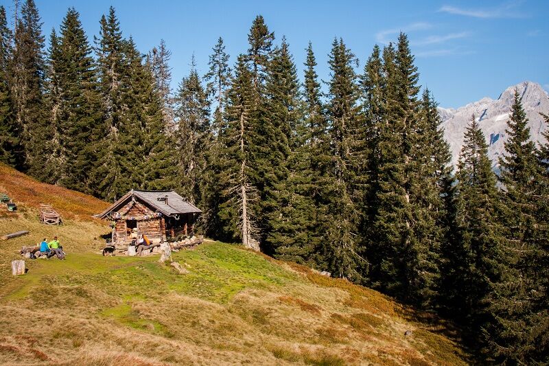
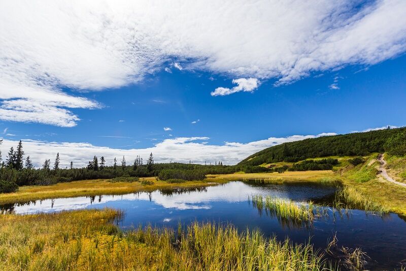
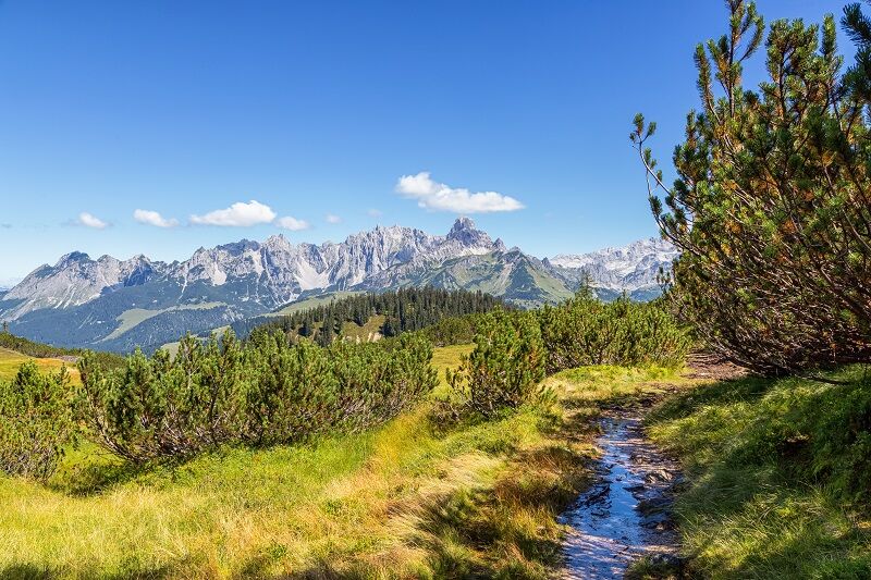

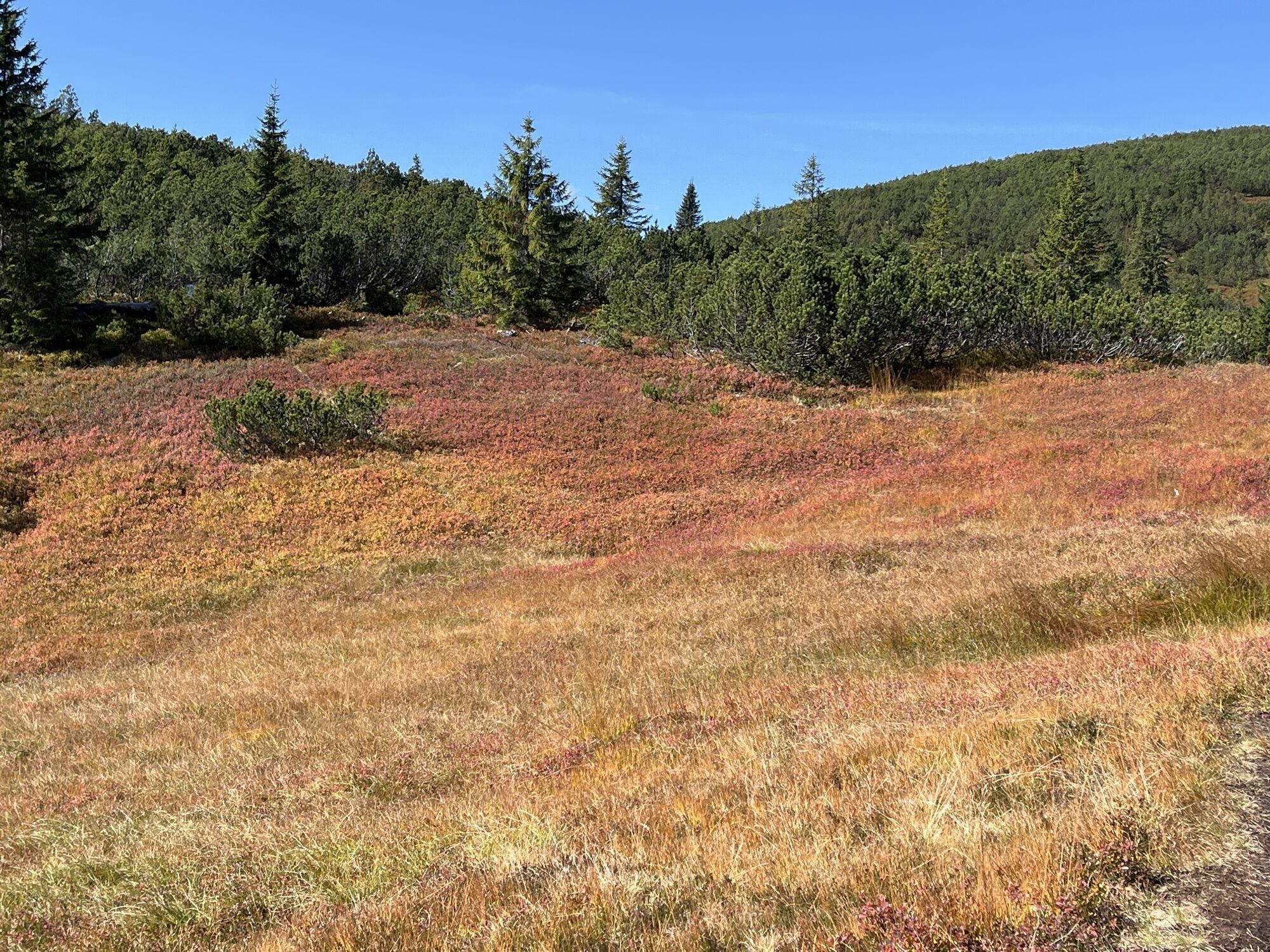
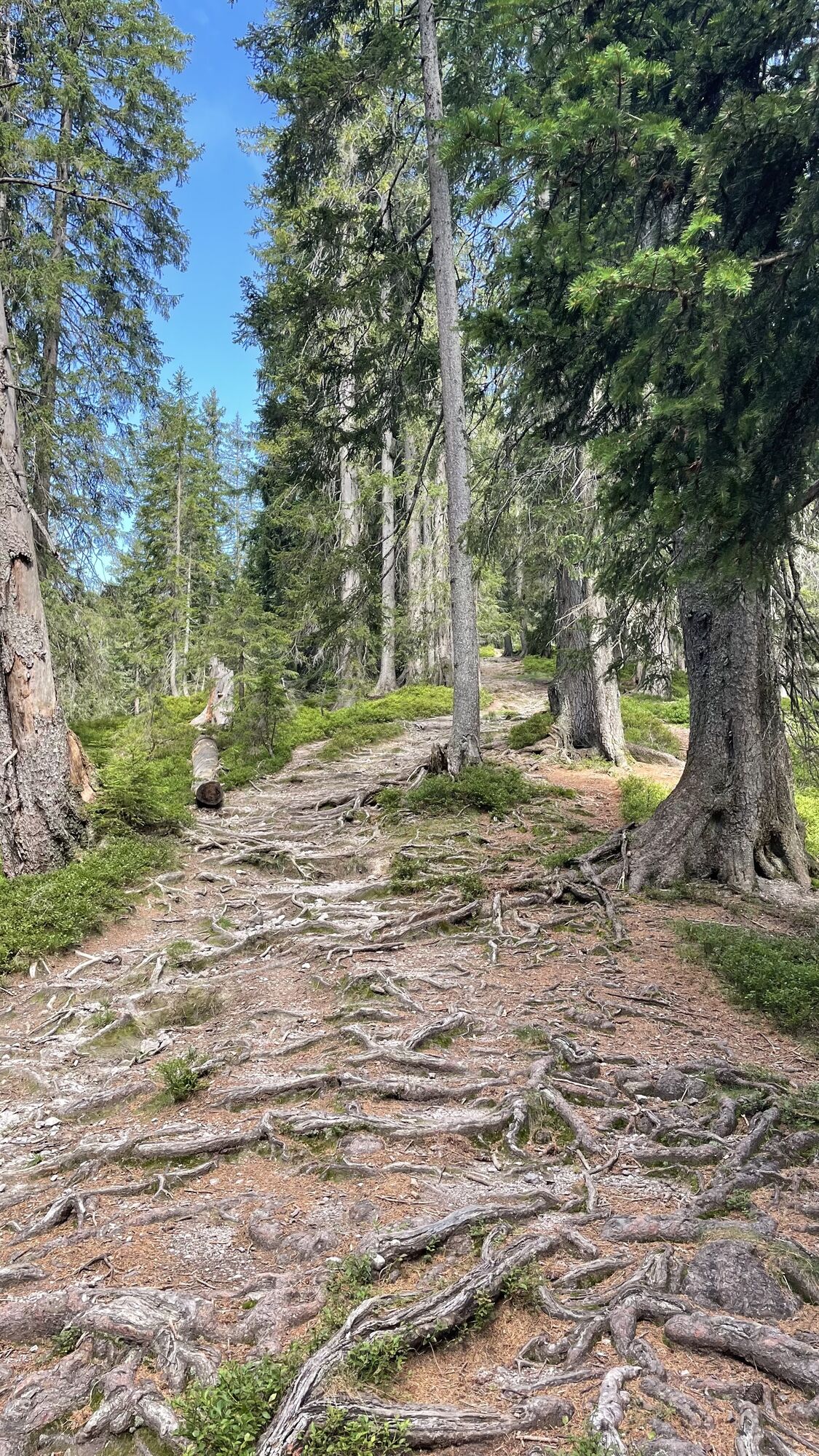
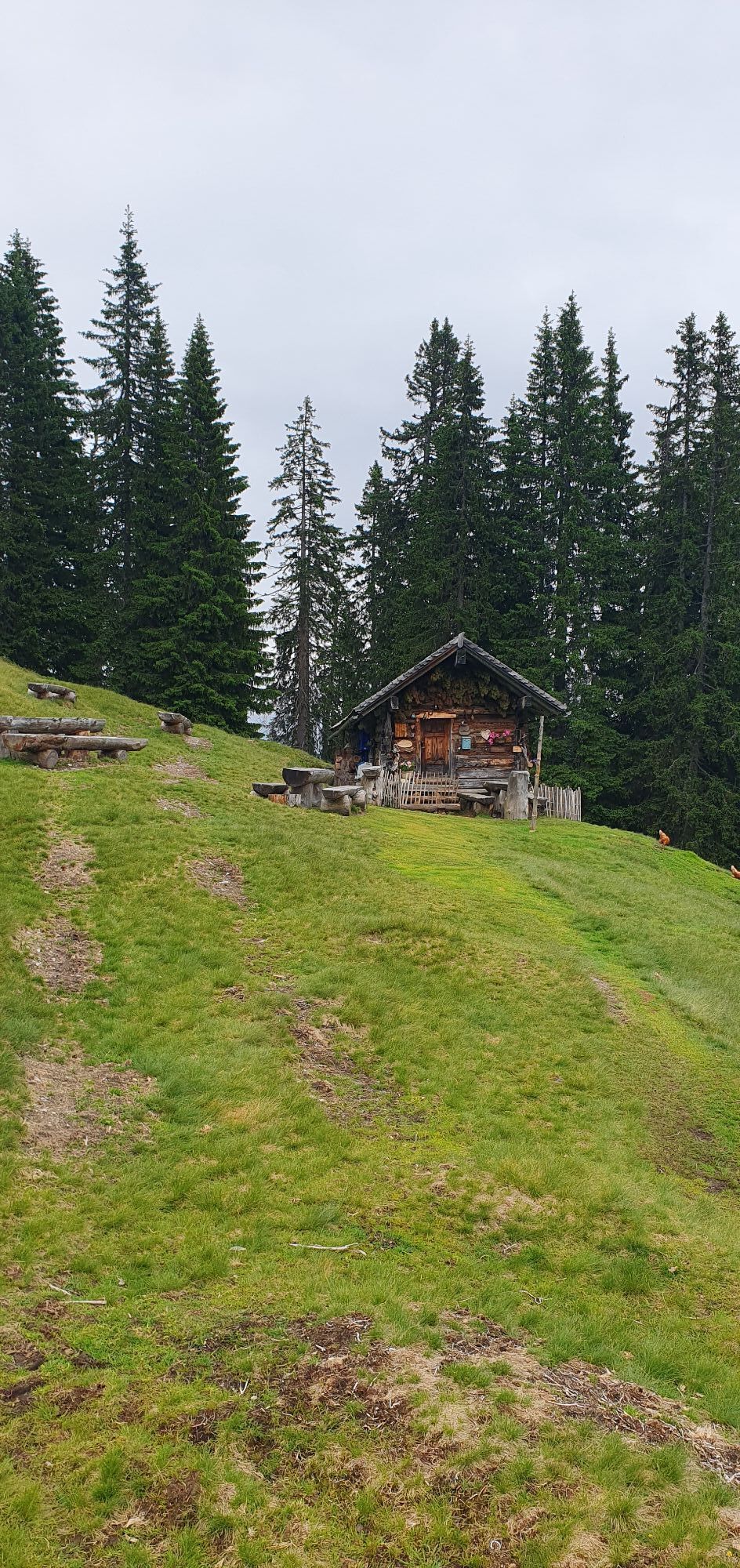
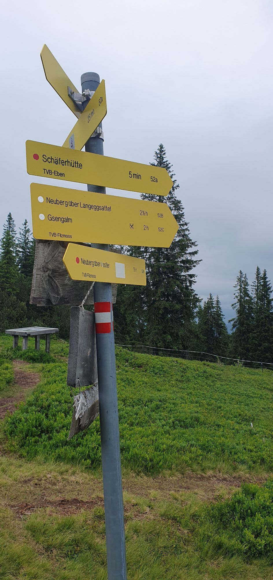
In the Filzmoos district Neuberg, the Almenweg runs from the Gseng junction or shortly before the old sawmill left via the Nestlerweg (or path no. 52) to the Nestlerhof and directly past it. Shortly before the Perlmaishaus, a forest path (no. 52) leads uphill on the right, crossing logging roads several times, ignoring other marked paths entering from the valley, and after 300 meters of altitude gain, reaching a ridge at a path junction. Continuing uphill over the ridge (trail no. 52) until the tree line is reached at the ridge between Gsengplatte and Gerzkopf (at this point from the right or east over the Gsengplatte, the Almenweg variant 23a from the Hofpürglhütte merges). To the right (east) of the path lies the shepherd's hut (1,608 m), managed in good weather and over 100 years old, worth a short detour. Back at the path junction, it is not far to the 1,728-meter-high Gerzkopf: the Almenweg leads over the ridge westward on a rather rocky trail past the raised bog "Black Tarn," through partly dense dwarf pine growth up to the summit. Since there are many bogs and tarns up here, paths can be partly muddy: sturdy, waterproof footwear is advantageous.
After a rest and ringing the wish bell on the summit, the descent follows trail no. 97 from the Gerzkopf westward over the St. Martin plateau and through the fairy-tale forest with its old, turnip-shaped spruce trees to the Hüttlboden (shortly after the Gerzkopf, the Almenweg takes the left path at a fork). Here you also often meet sheep driven up in spring by local farmers.
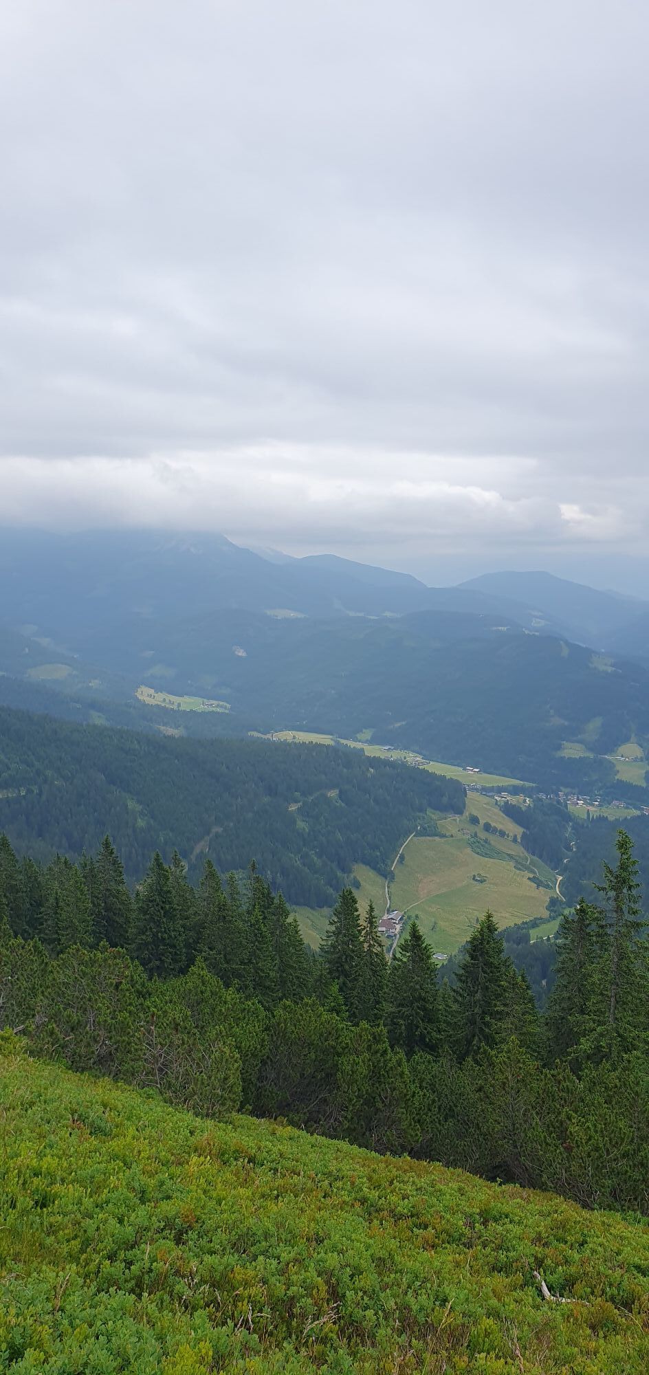
Through the ant forest with its many anthills, trail no. 96 always leads downhill past two old hunting huts to the Höllbrand. From the private Höllbrand hut, there is a magnificent view of the active village St. Martin with Seepark, the Ostermais behind it, and finally the mighty, all-dominating Tennengebirge. A few minutes of further downhill walking invite you to the Höllalm snack station to recharge empty stores. After about 20 more minutes of descent along trail no. 74, you reach the first houses of the quite widely spread active village St. Martin am Tennengebirge, whose center and thus today's stage goal is reached after crossing the street to the right in another 20 minutes.
Those who chose variant 22a on the previous stage will follow today's route of variant 23a.
Dining (D) and Overnight (O) options
Various accommodations of all categories in the town center of Filzmoos, info at www.filzmoos.at, phone +43 6453 8235
Gerzkopf Shepherd's Hut (1,608 m) (after approx. 4.5 hours), June to September, phone +43 664 559 01 00 D
Höllalm (1,150 m) (after approx. 7.5 hours), June to September, phone +43 6463 7405 D
Numerous dining and overnight options in St. Martin, www.stmartin.info D/O
Logispartner Salzburger Almenweg Info and booking center by Trail Angels:
Gasthof Post St. Martin, more info at: https://www.meinpostwirt.at/, phone +43 6463 72180
Ano
Here you will find everything about the right hiking shoe, the perfect equipment, and the correct walking technique
To make your day in the mountains truly an unforgettable experience, we give you some tips so that you are safe in the mountains.
For public transport by train, the stations in Eben im Pongau (11 km), Radstadt (18 km), or Bischofshofen (30 km) are recommended. From there, continue to Filzmoos by post bus, taxi, or with the station shuttle.
If you arrive by your own car, you can park it in Filzmoos in one of the marked paid parking lots. The daily parking fee is €4.50 per car. Please do not forget, for your own safety, to display the "Salzburger Almenweg" parking disc from the brochure in the car.
T2
All further information about the Salzburger Almenweg can be found here.
In the Europe and nature reserve Gerzkopf, rare dragonfly species, white-backed woodpeckers, capercaillies, and tree pipits find their habitat. According to legend, a golden carriage lies at the bottom of the "Black Tarn".
 Získejte přehled
Vždy živě na místě s více než 9 500 webkamerami. bergfex Jako uživatel Pro si nyní můžete zobrazit odpovídající webové kamery pro mnoho prohlídek v aplikaci prohlídky z. Můžete si tak přímo prohlédnout aktuální podmínky.
Získejte přehled
Vždy živě na místě s více než 9 500 webkamerami. bergfex Jako uživatel Pro si nyní můžete zobrazit odpovídající webové kamery pro mnoho prohlídek v aplikaci prohlídky z. Můžete si tak přímo prohlédnout aktuální podmínky.
Oblíbené prohlídky v okolí
-
4.5
Ramsau am Dachstein: Steinerne Jungfrauen
Turistika 8.11 km -
4.3
Filzmoos: Rötelstein (Rettenstein)
Turistika 9.50 km -
4.8
Werfenweng Mountainbikerunde Söldenhütte
středníMountainbike 18.8 km -
4.8
Tour around the Gosaukamm
středníTuristika 20.9 km -
4.7
Tor-Wanderung
heavyTuristika 14.2 km -
4.7
Tour around the Lake Gosau
světloTuristika 4.43 km -
4.5
Adamekhütte vom Vorderen Gosausee
středníTuristika 23.2 km -
4.6
Sulzenschneid
středníTuristika 9.51 km -
4.4
Rittispanoramaweg
světloTuristika 5.30 km -
4.7
Donnerkogel vom Gosausee mit Intersport Klettersteig C/D und Himmelsleiter
heavyVia ferrata 7.70 km
Pěší turistika a stopování


Nenechte si ujít nabídky a inspiraci pro vaši příští dovolenou
Vaše e-mailová adresa byl přidán do poštovního seznamu.





