







Großarltal: 3-day hike from Kitzstein (fork) to Kreuzeck

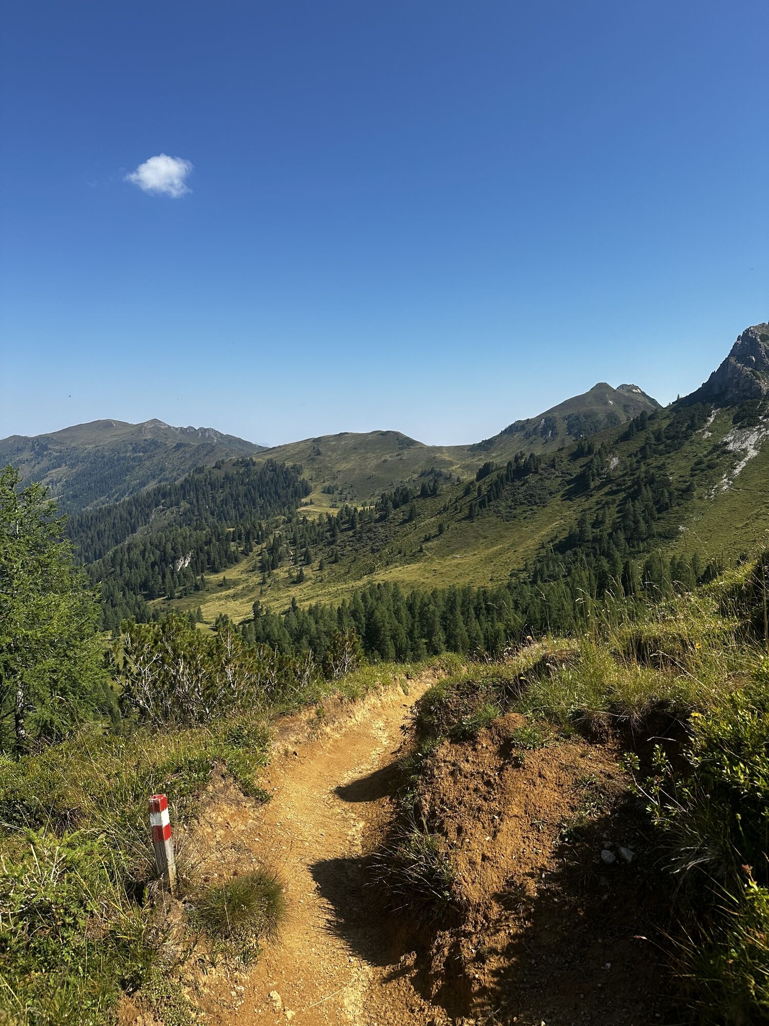
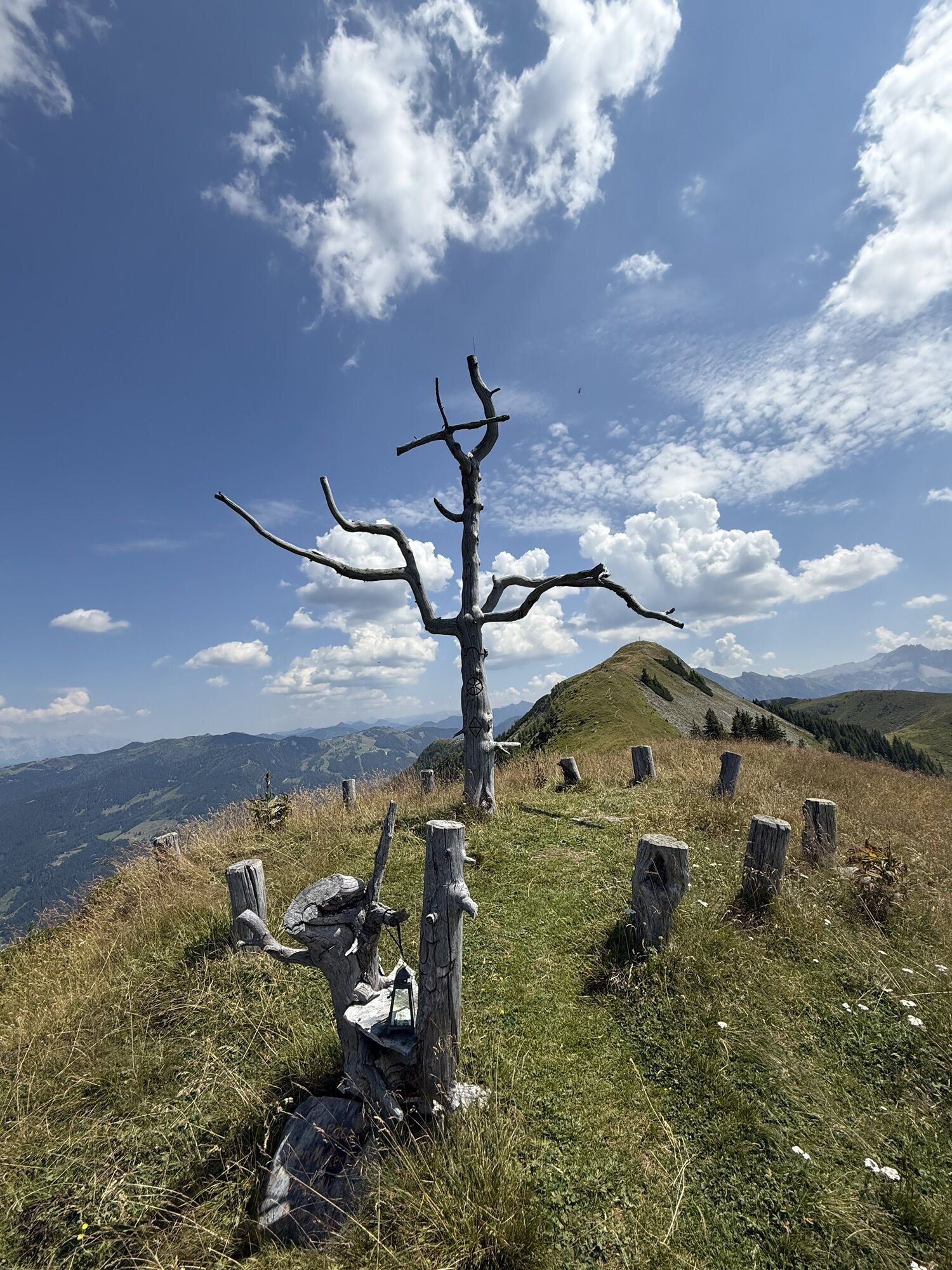
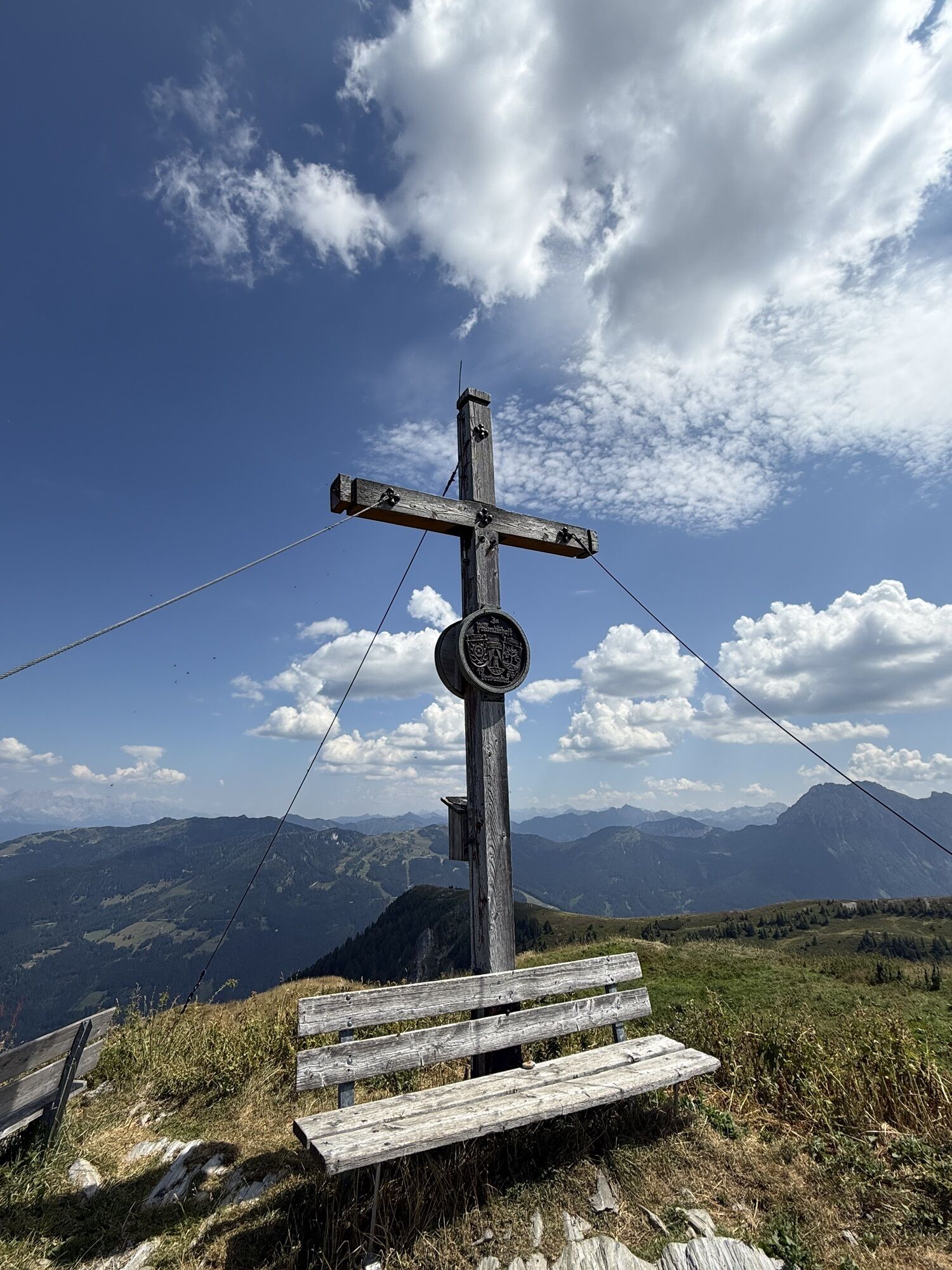
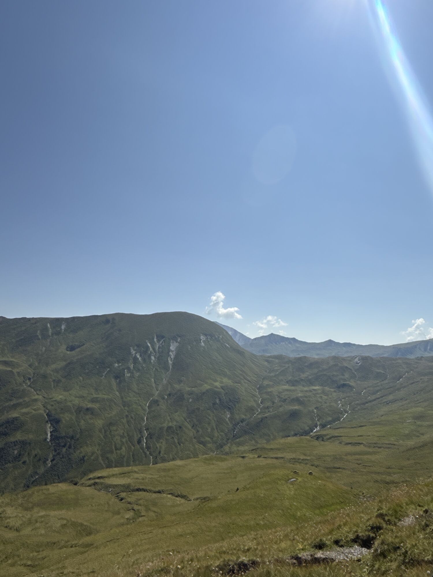
Day 1:
From the Sonnegg bridge, a forest path leads uphill through the spruce forest to the Muggenfeld (closed) and to the Maurachalm. You can shorten the route slightly via trails through the forest....
Day 1:
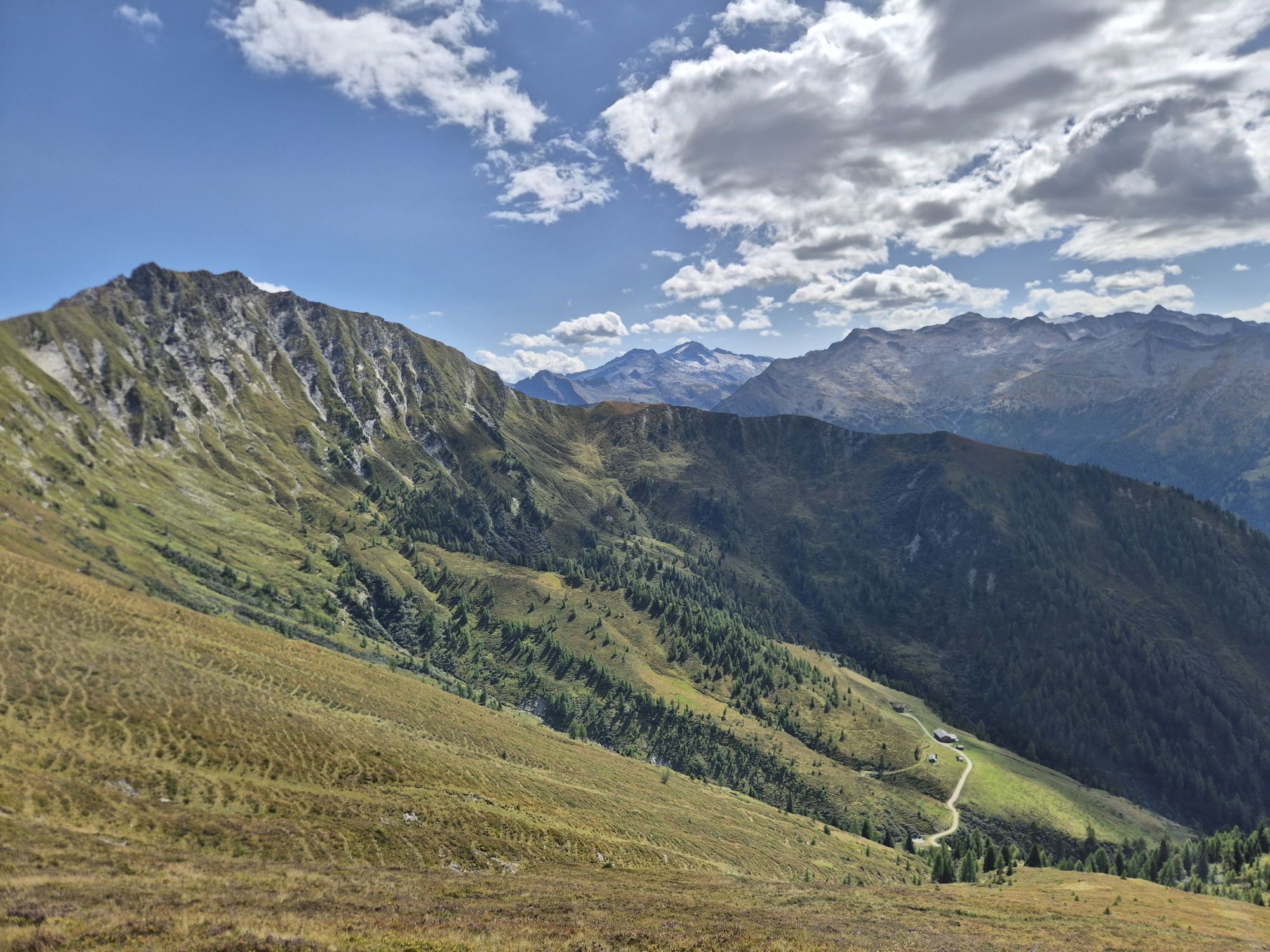
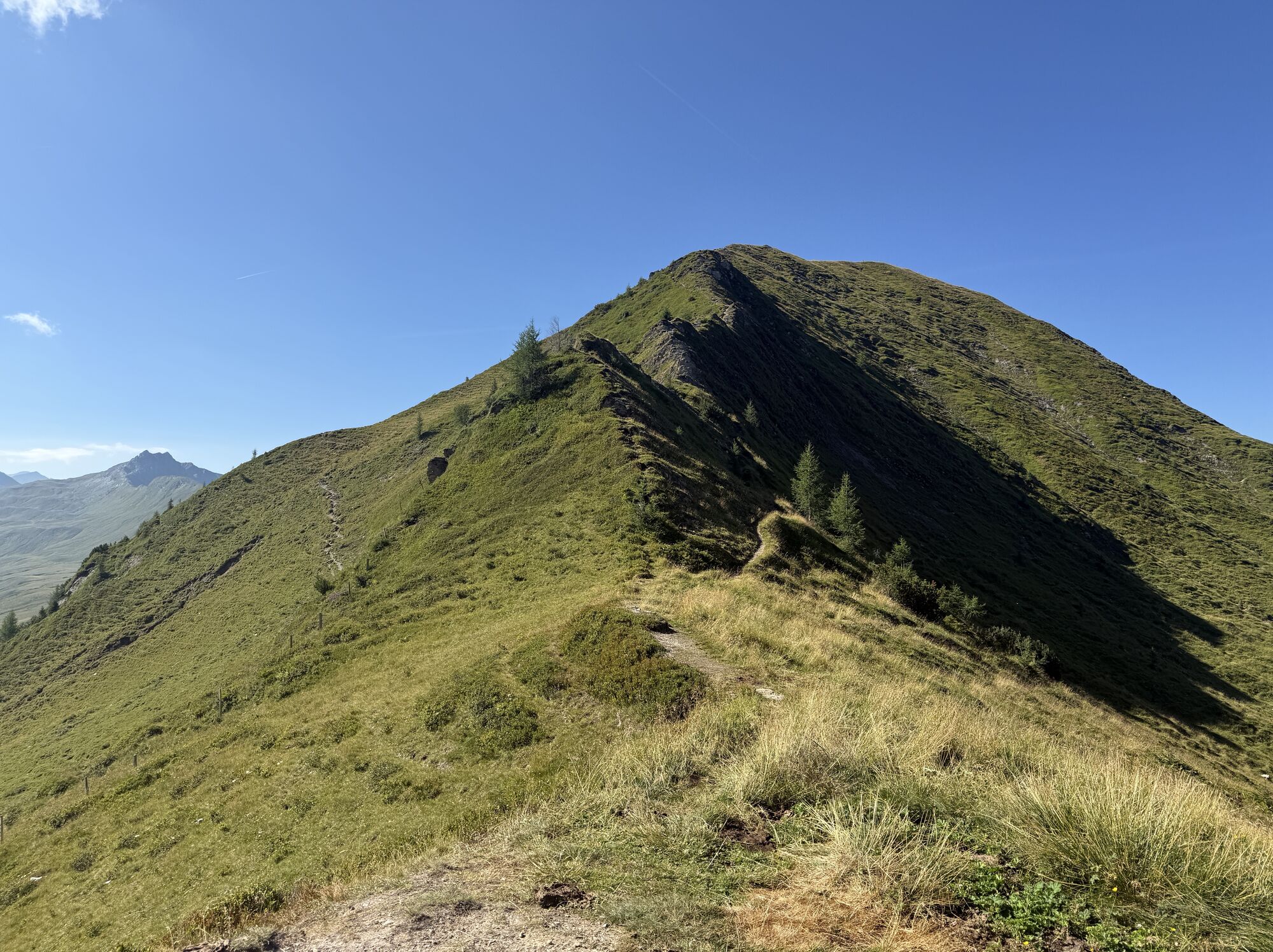
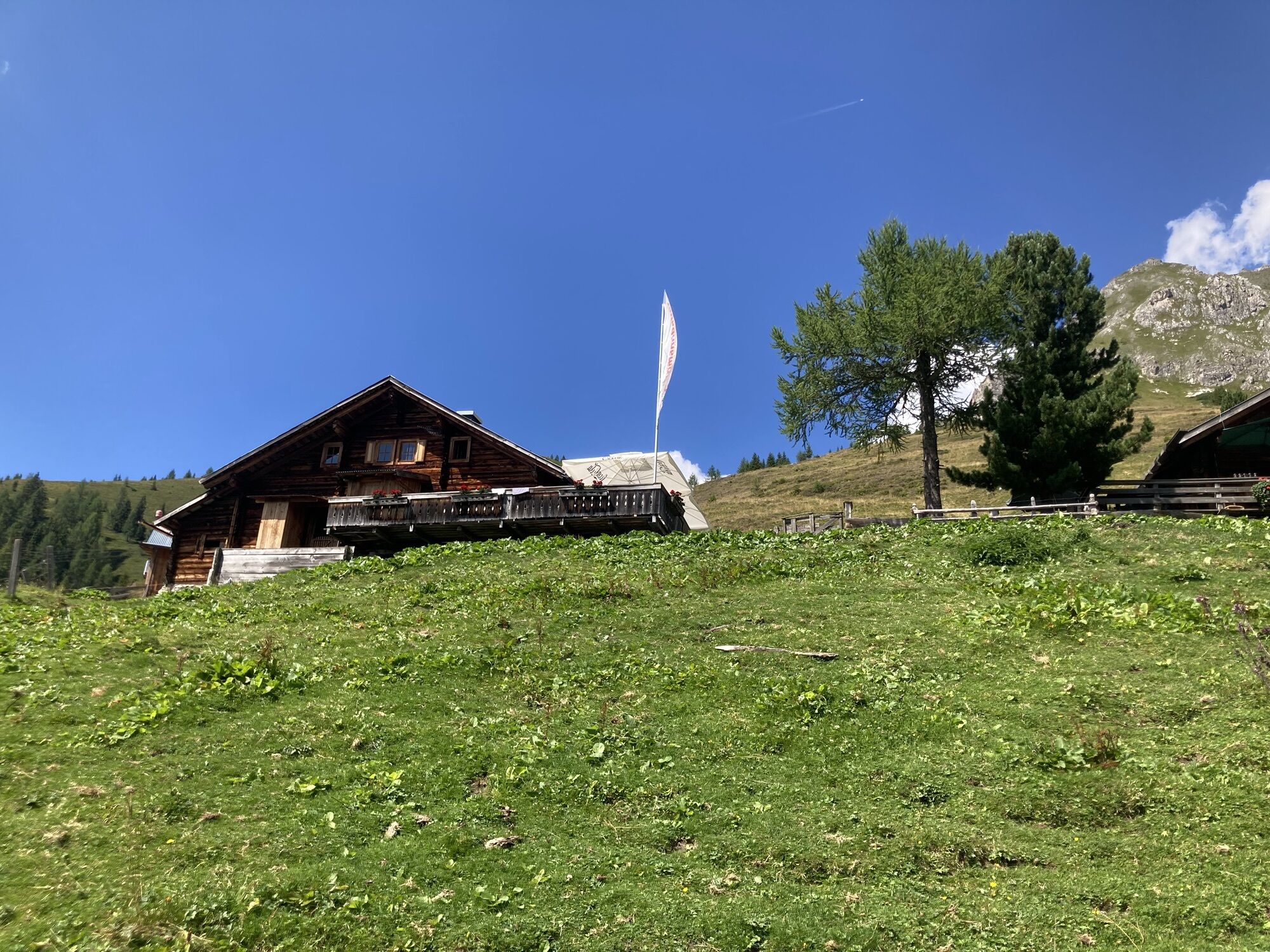
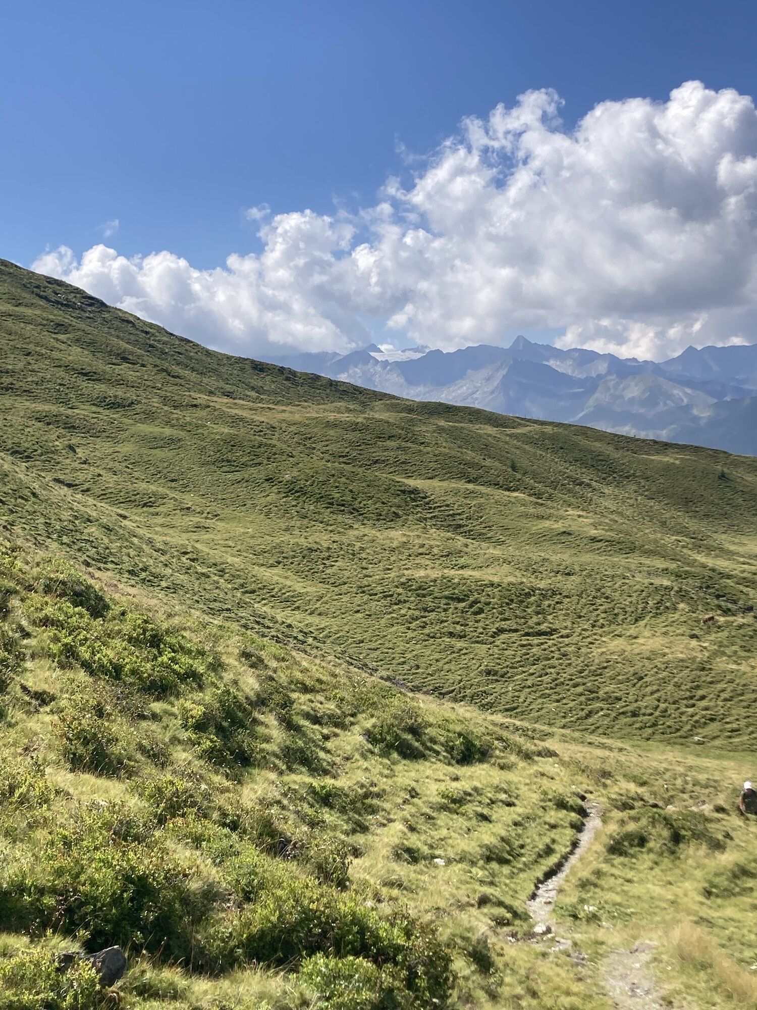
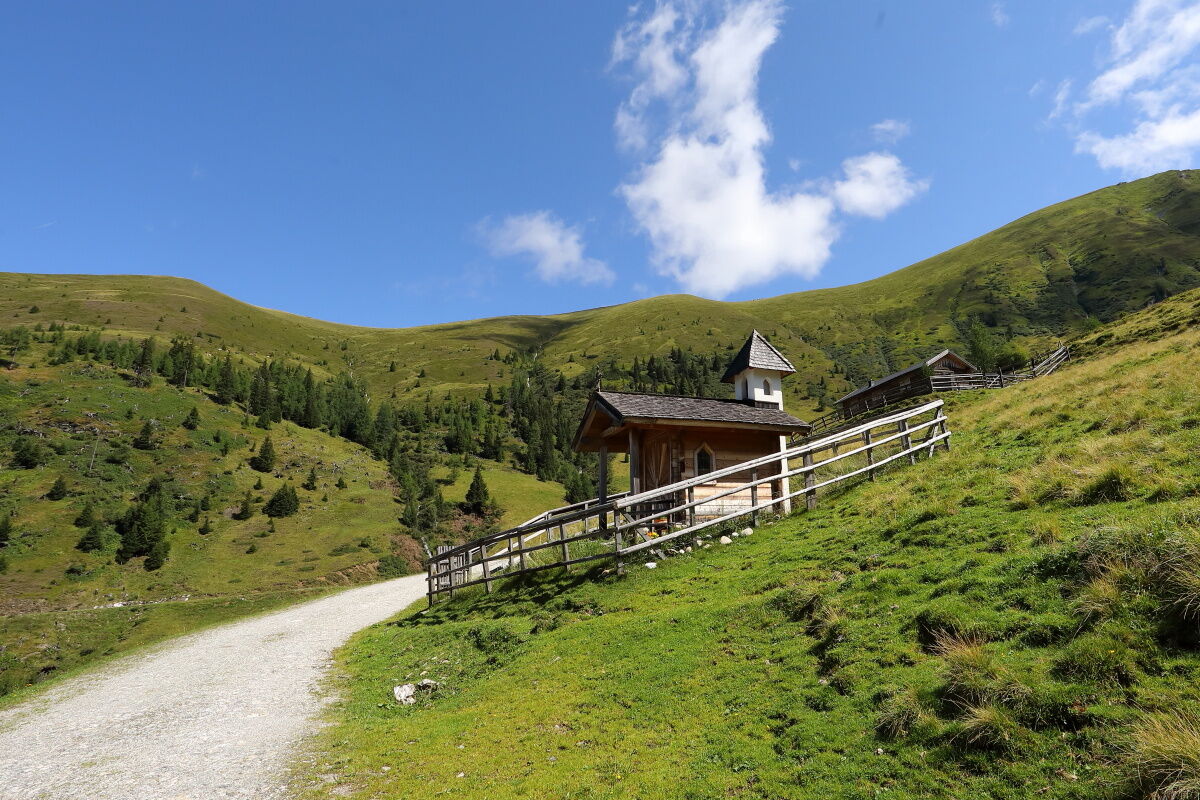
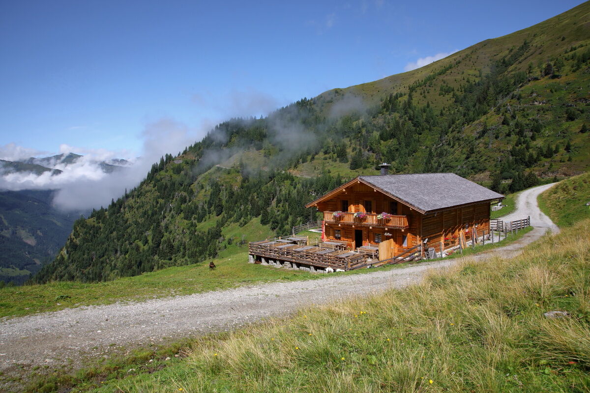
From the Sonnegg bridge, a forest path leads uphill through the spruce forest to the Muggenfeld (closed) and to the Maurachalm. You can shorten the route slightly via trails through the forest. Suddenly the forest begins to thin out and alpine meadows spread out. The first alpine pasture is the Muggenfeldalm (closed), the second is the Maurachalm. At the Maurachalm you will be pampered with delicacies from their own production. The Maurachalm is the northernmost alpine pasture in the Großarltal and is especially known for its exquisite schnapps (rowanberry or elderberry). The herdsmen often sing and play music here. Ascent over the Auhofalm (not serviced) to the Kitzstein (fork). Descent over the Oberwandalm (not serviced) to the Karseggalm. The Karseggalm is probably one of the coziest huts in the entire Alpine region and, with its approx. 400 years, also one of the oldest. When entering the hut, you are immediately surprised. The floor inside the hut is covered with clay and tree bark. It may well happen that the "Wehstatt", which means the "kitchen" in an old hut, is full of smoke. Here, as most people can hardly imagine nowadays, there is an open fireplace. A specialty from the Großarltal is produced here: the kneaded cheese. You won't find this cheese in any other hut, as an open fireplace is needed to smoke the cheese. Once a week, you can watch the herdsman or herdswoman making the typical sauerkäse of the Großarltal.
You continue hiking for half an hour to the Unterwandalm. After this day's tour, you will be treated with delicacies from their own production such as bread, butter, cheese, bacon, or sausage. Please book beds in advance, as several hikers may stay overnight at the Unterwandalm. When the herdsman (senner) plays his accordion and the sun slowly sets, a cozy hut evening is guaranteed.
Day 2:
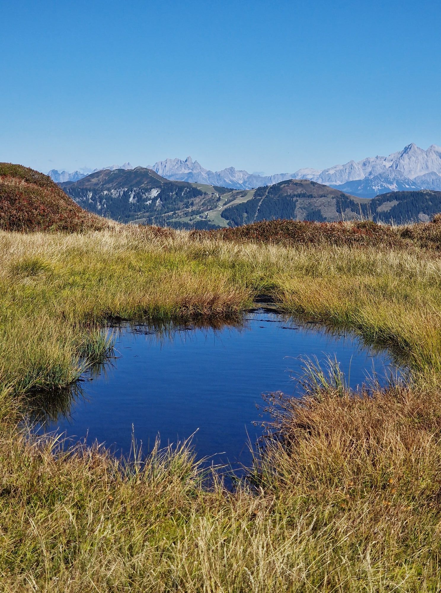
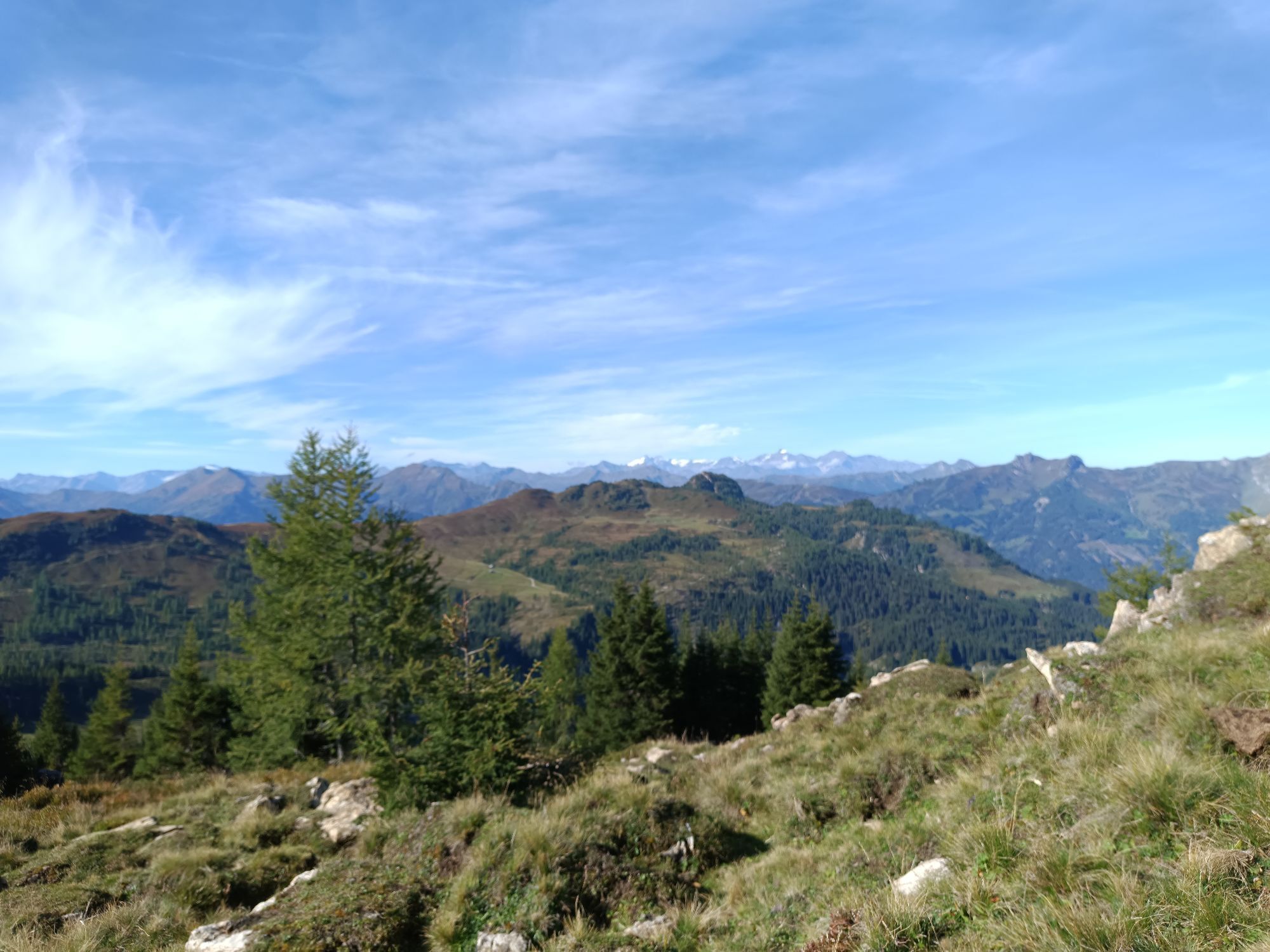
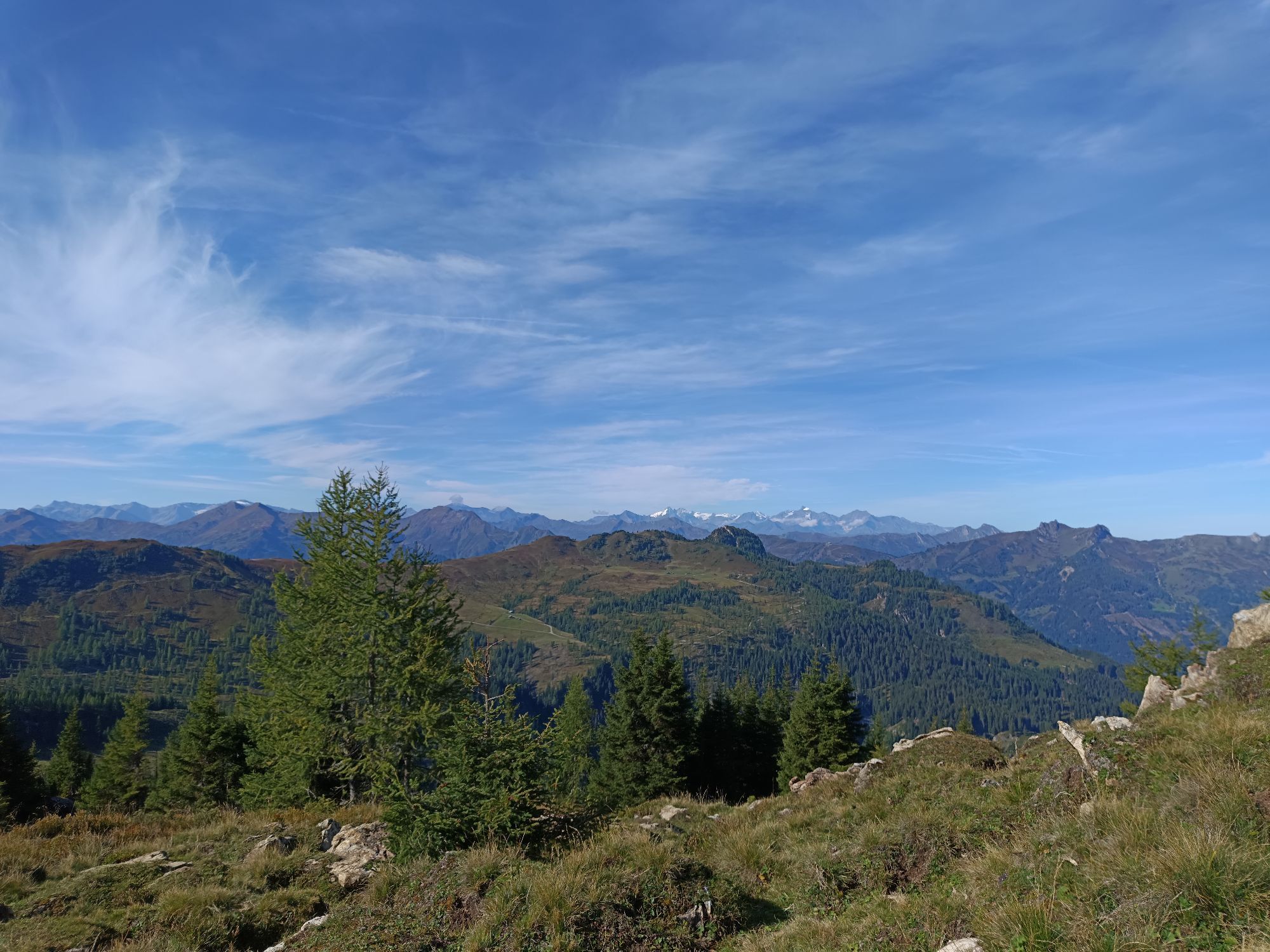
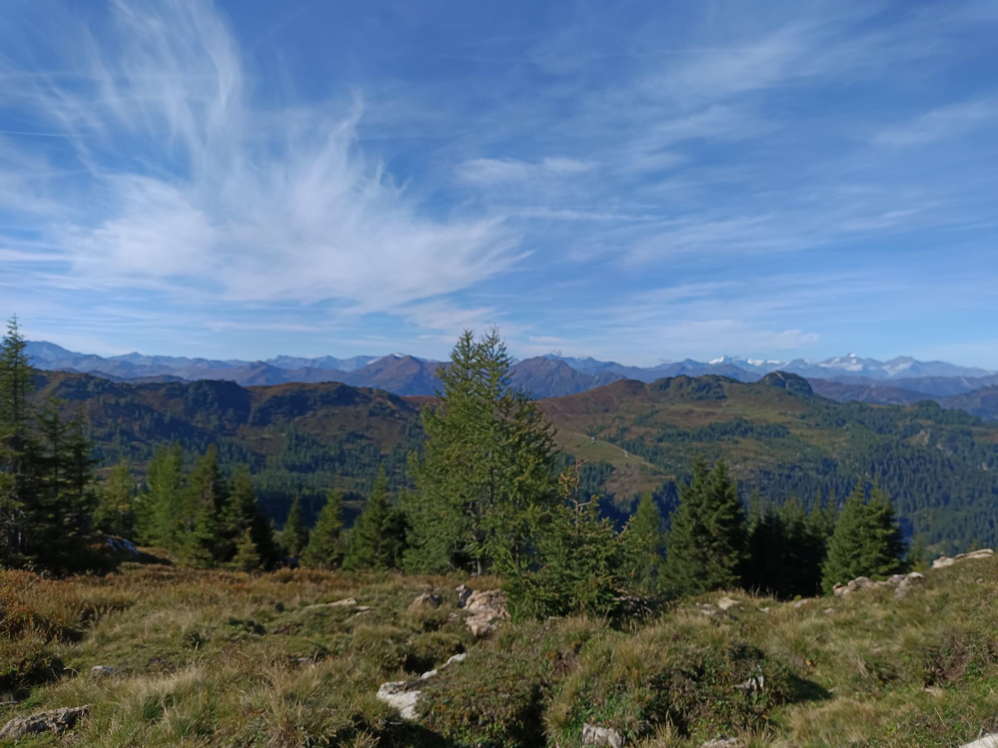
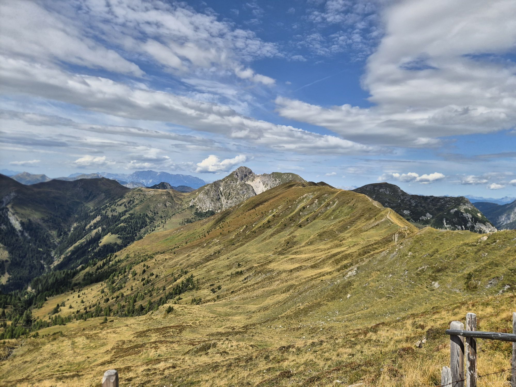
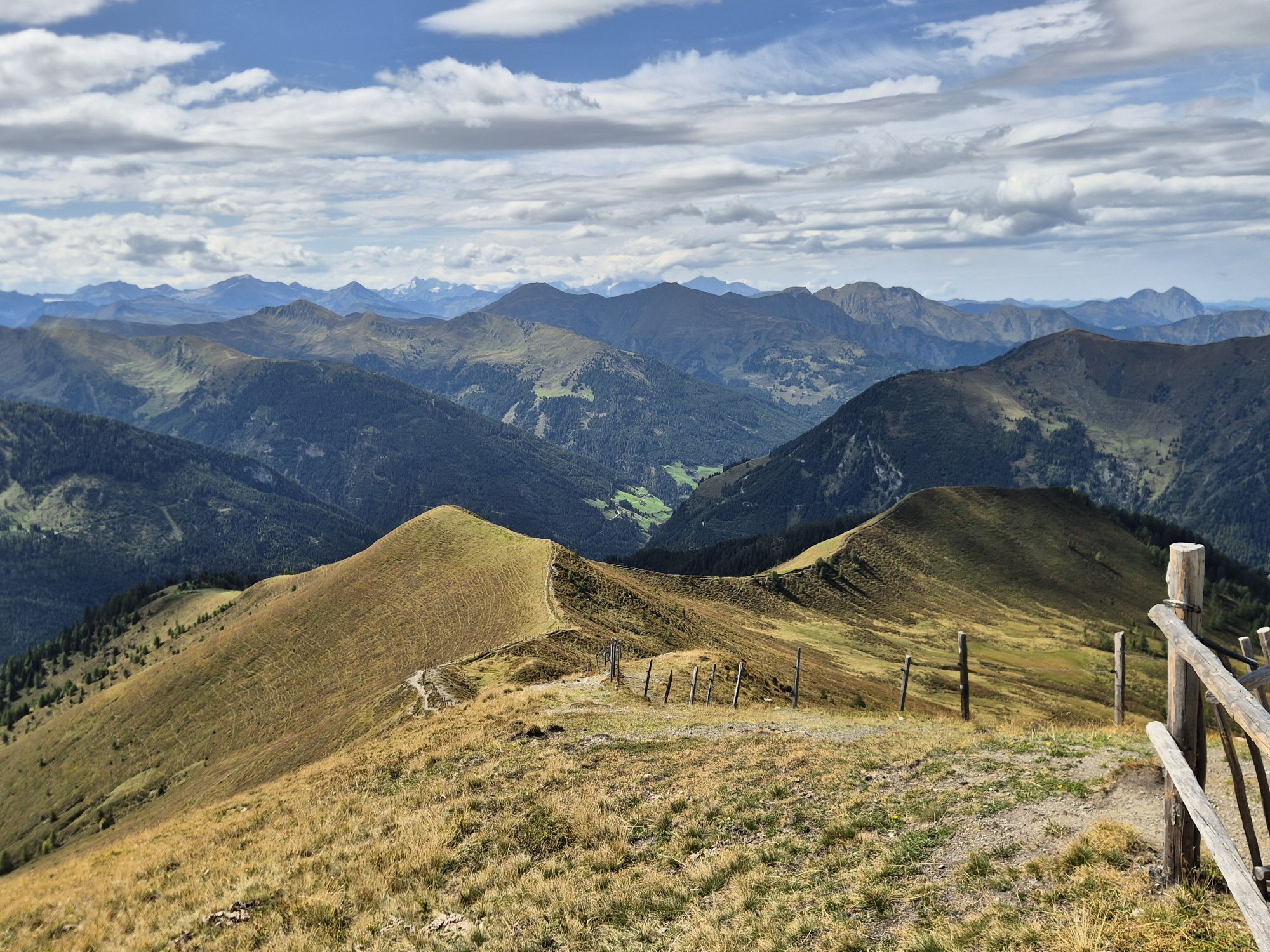
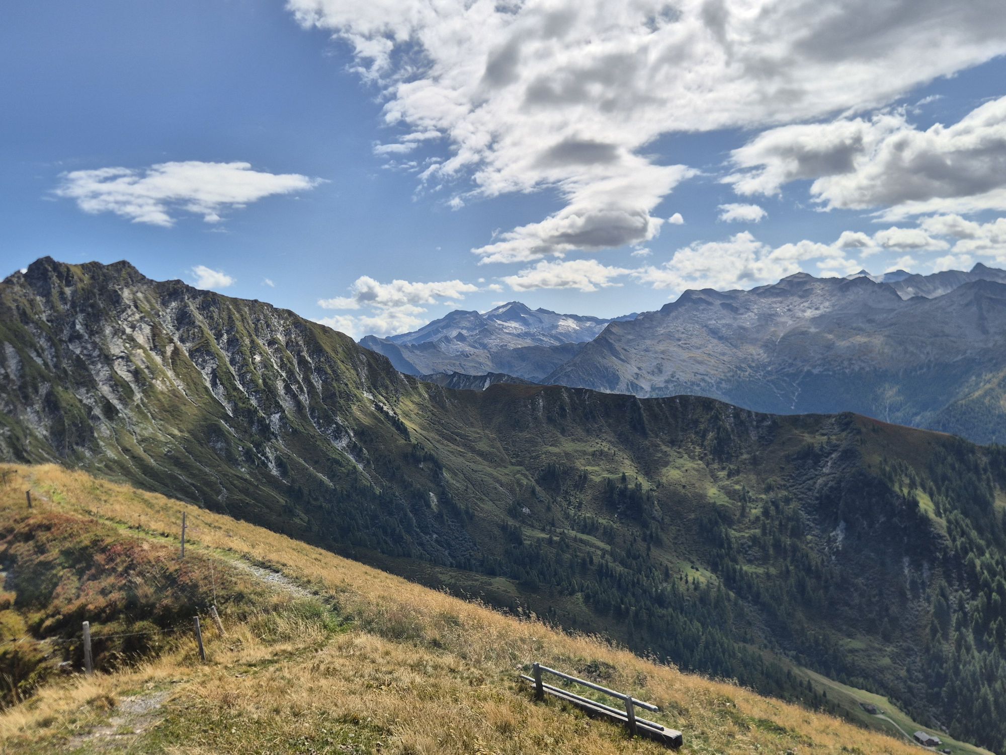
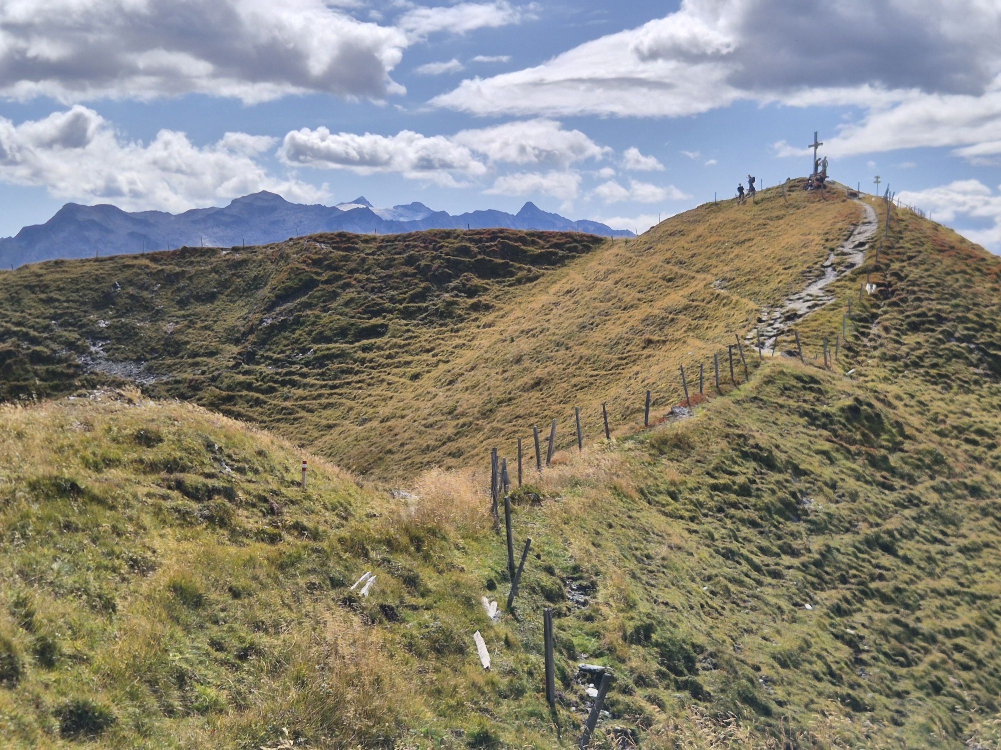
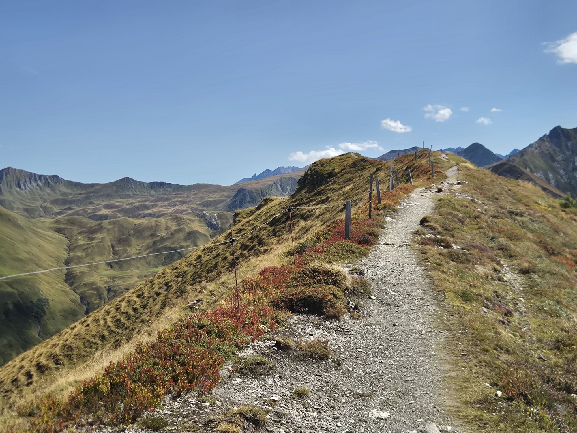
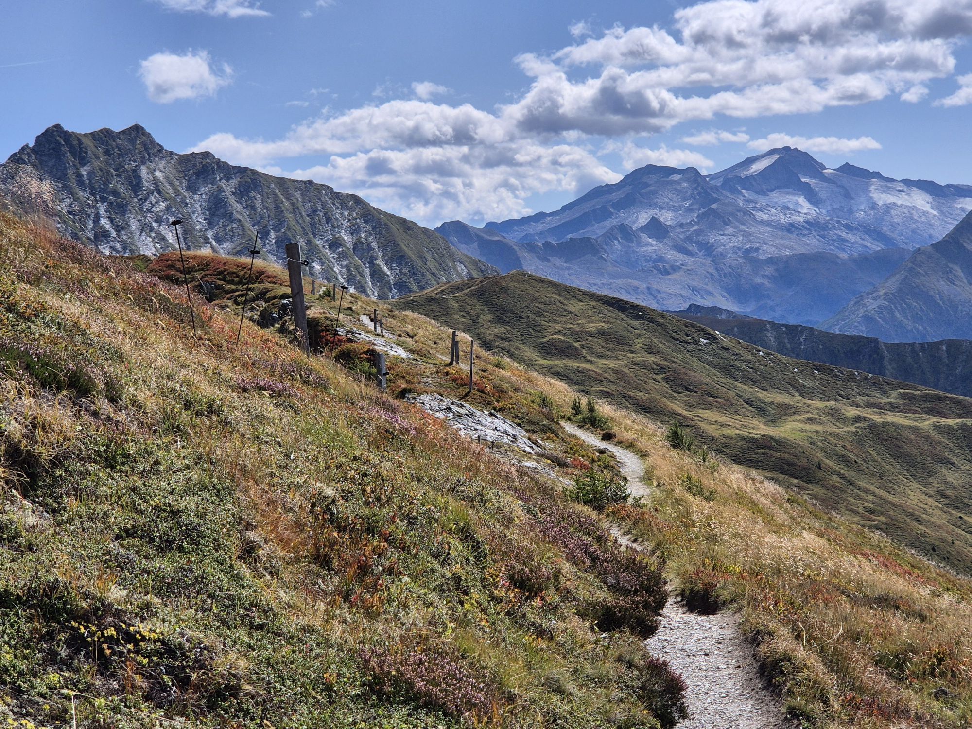
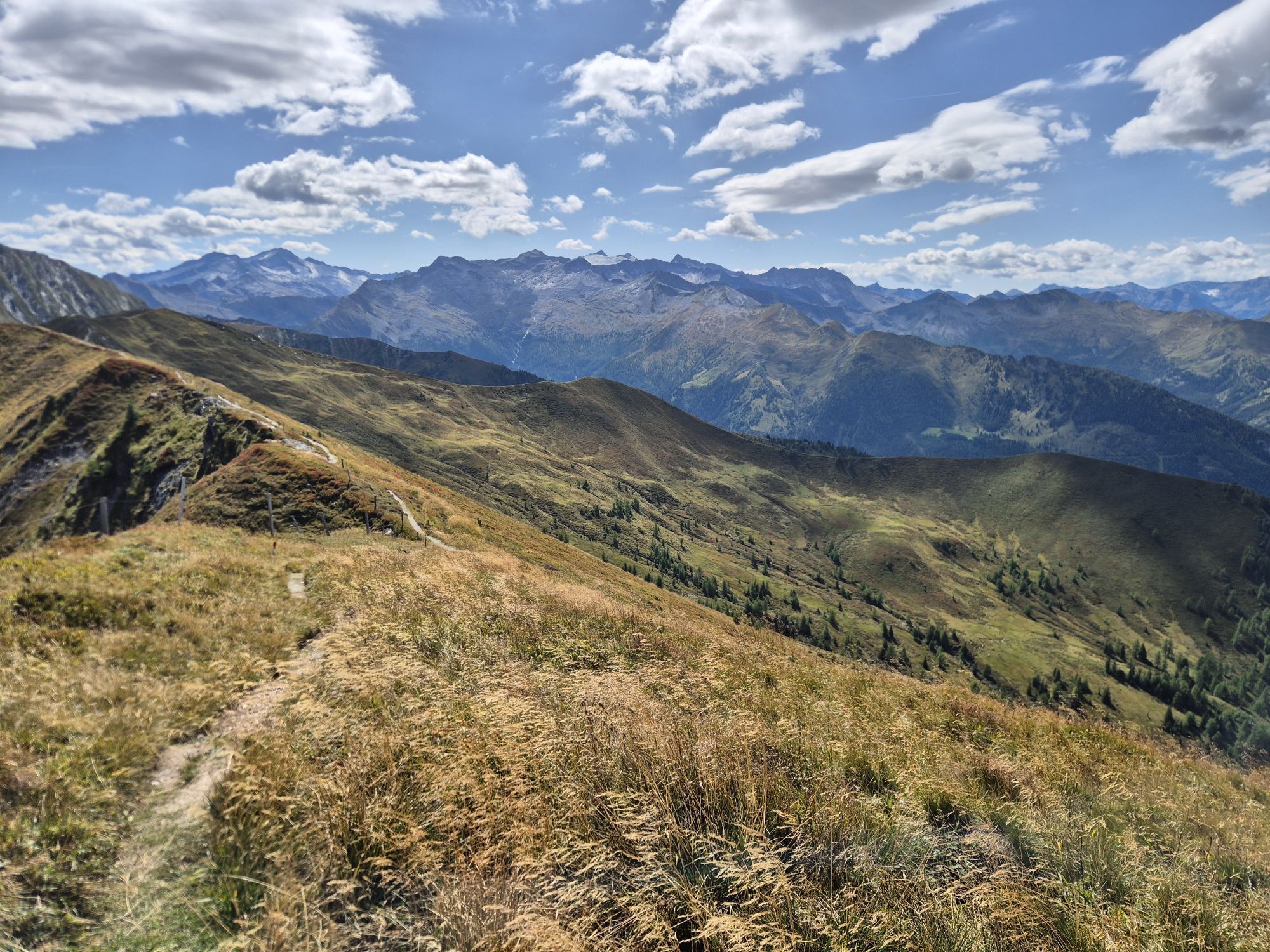
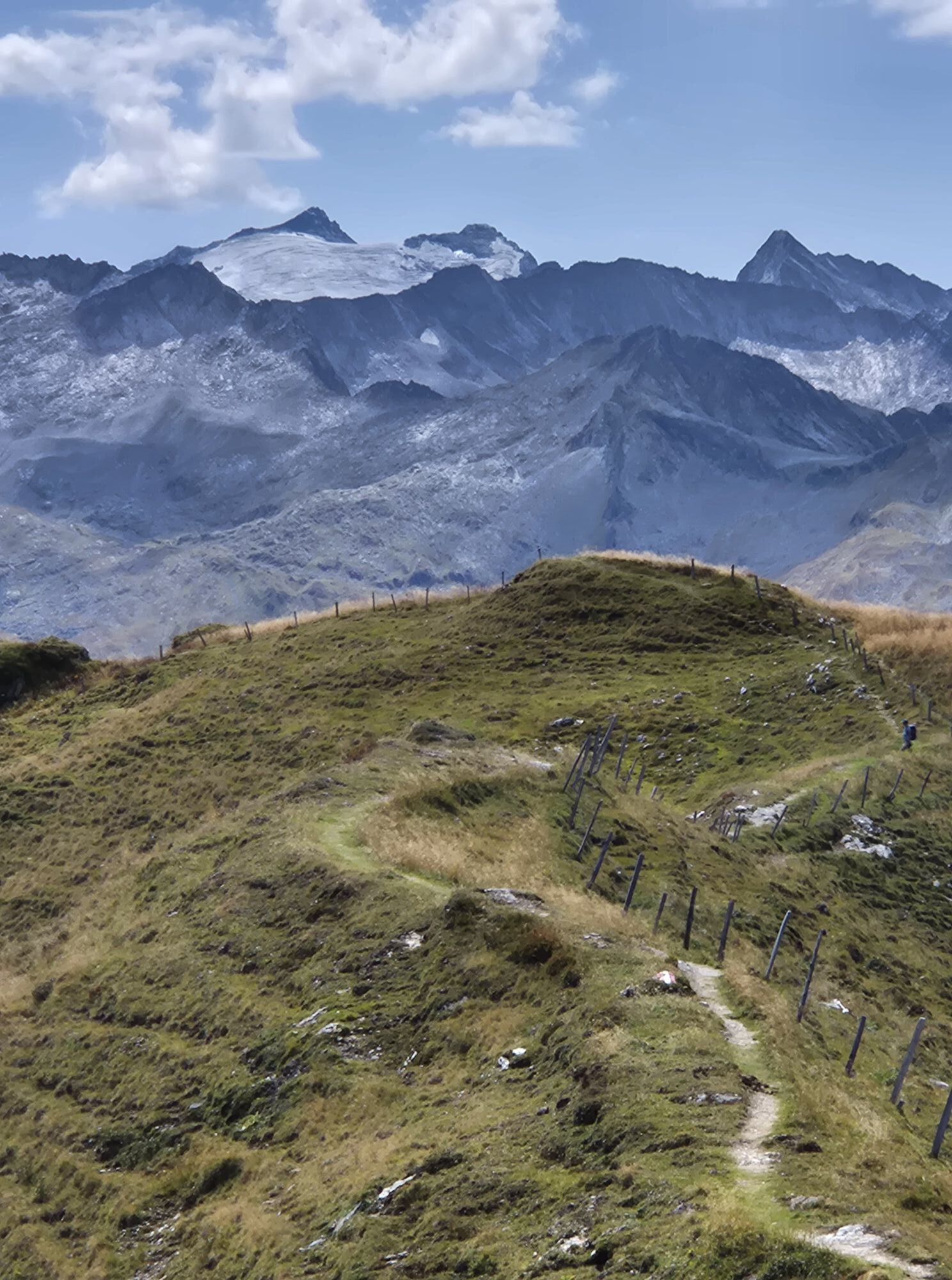
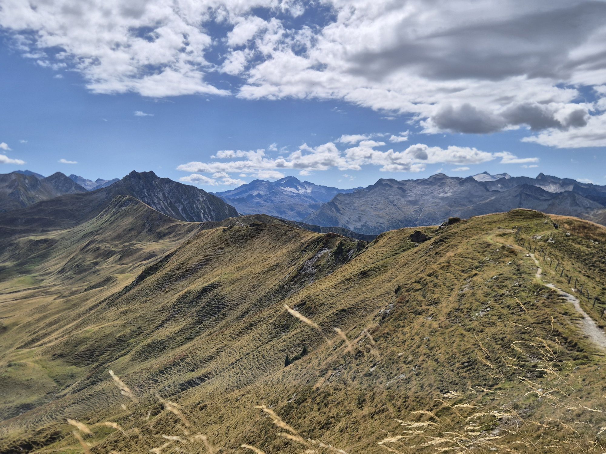
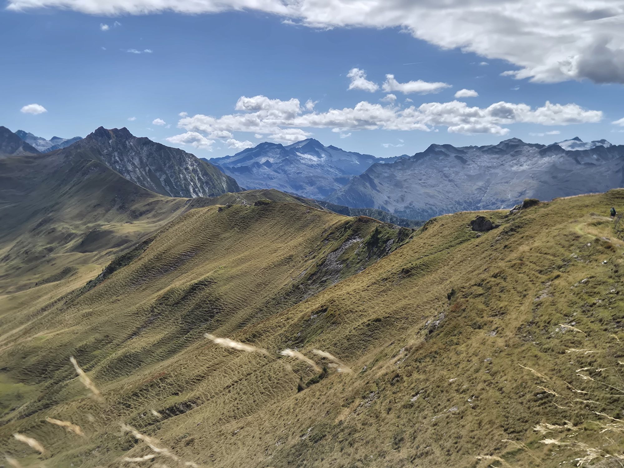
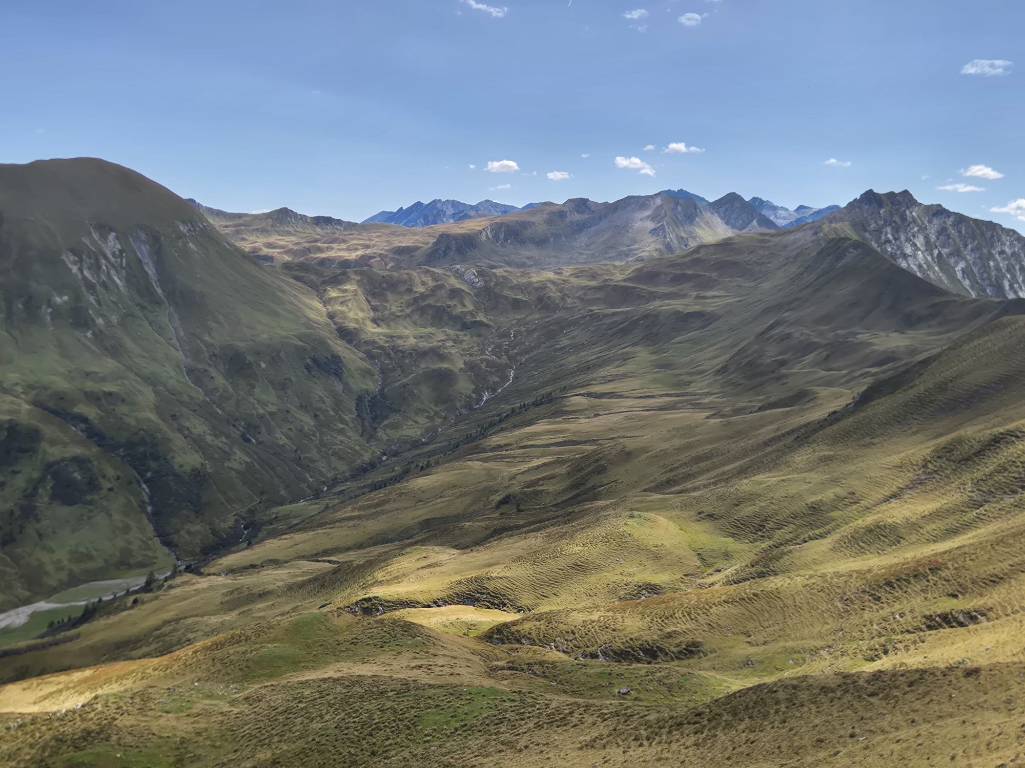
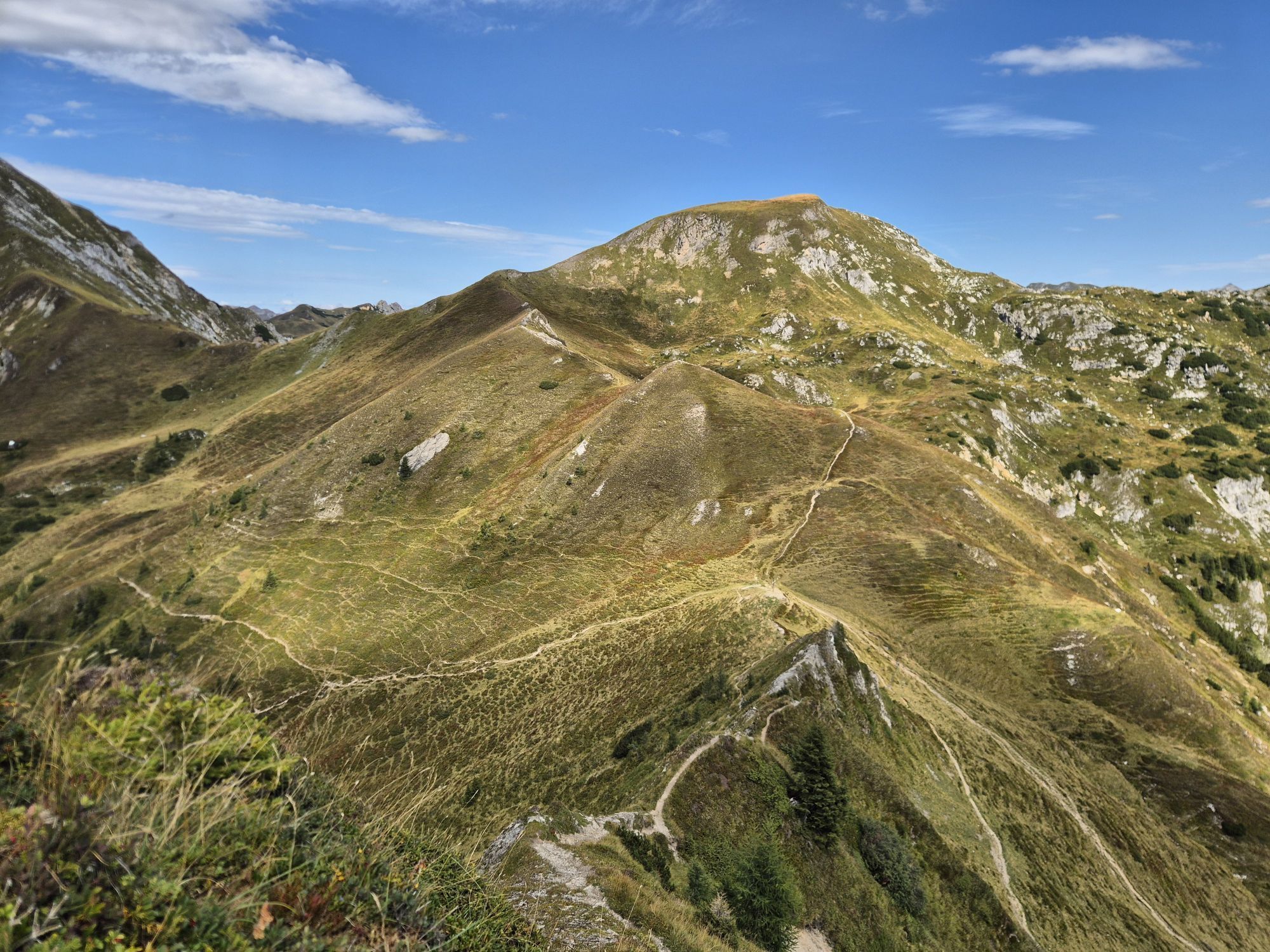
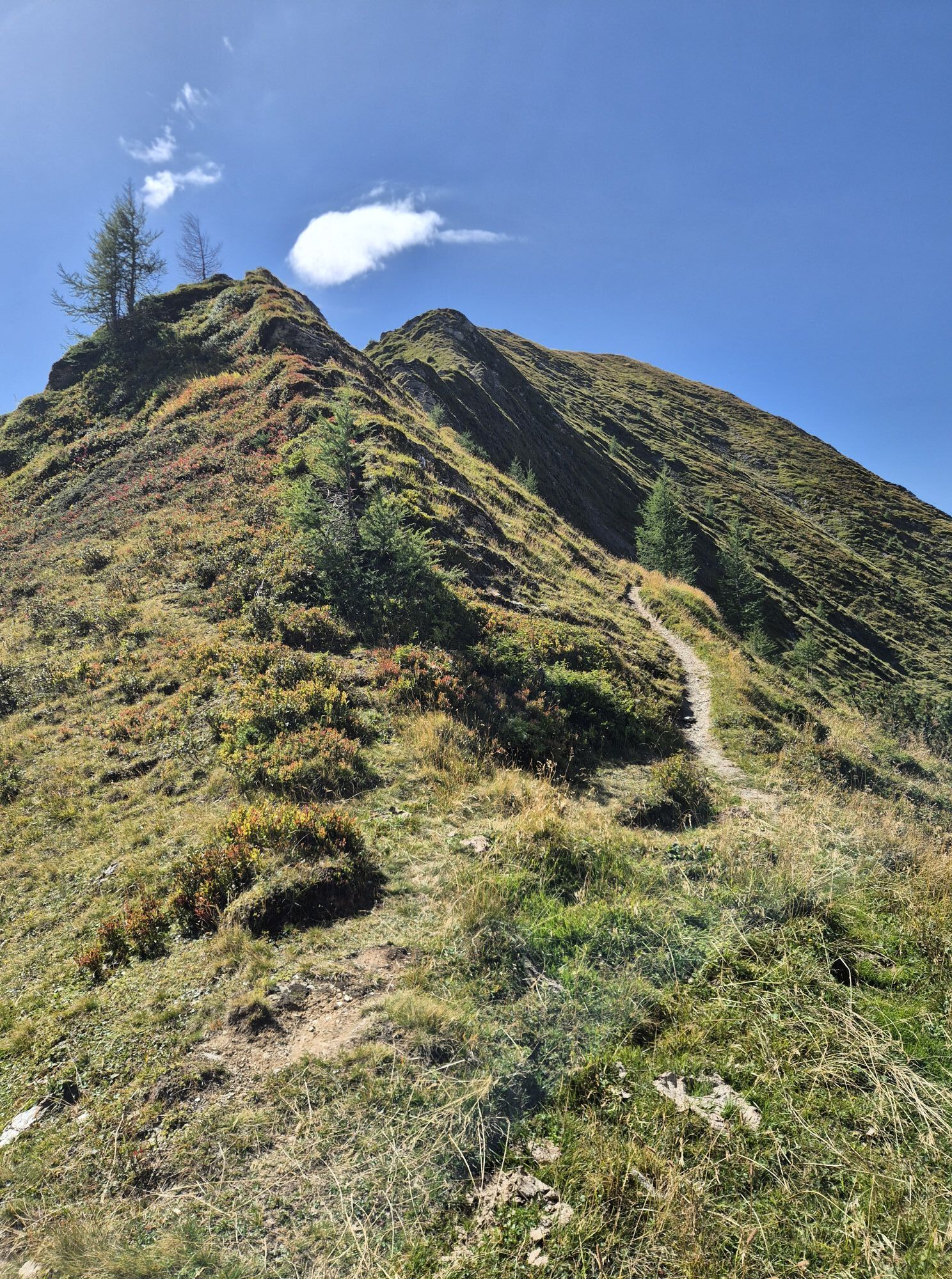
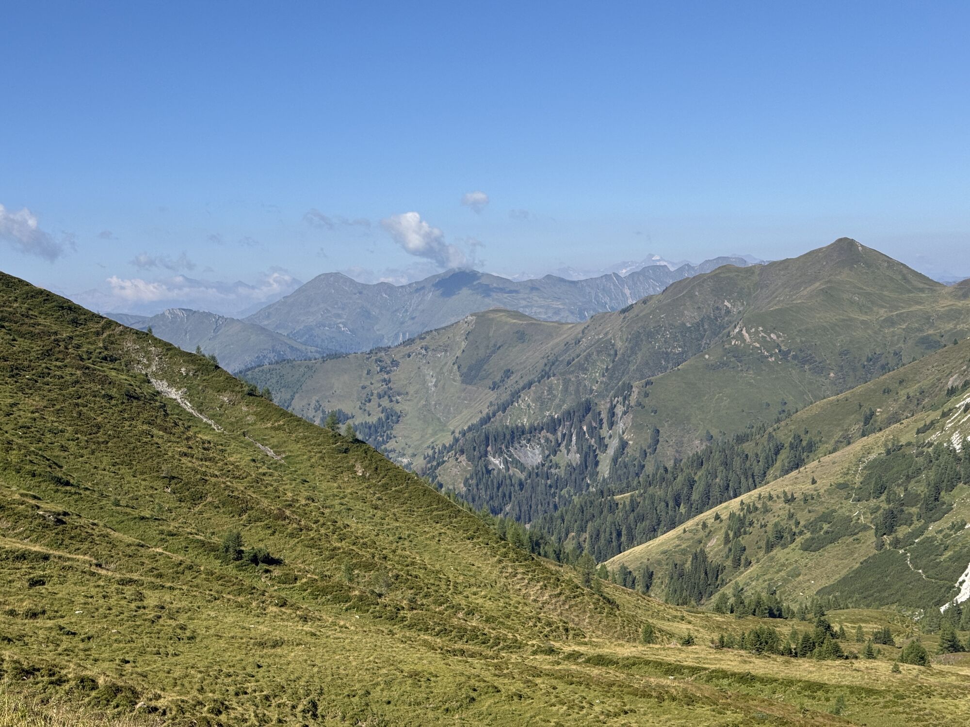
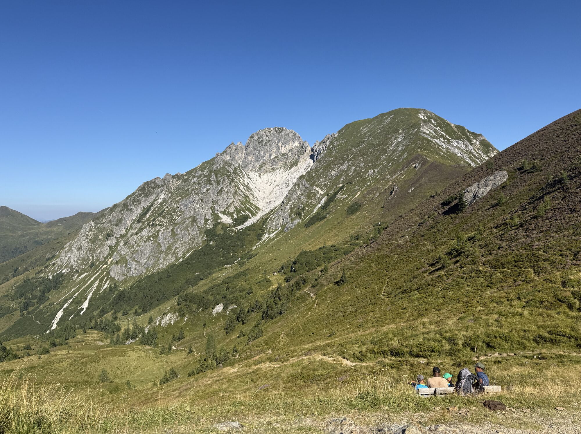
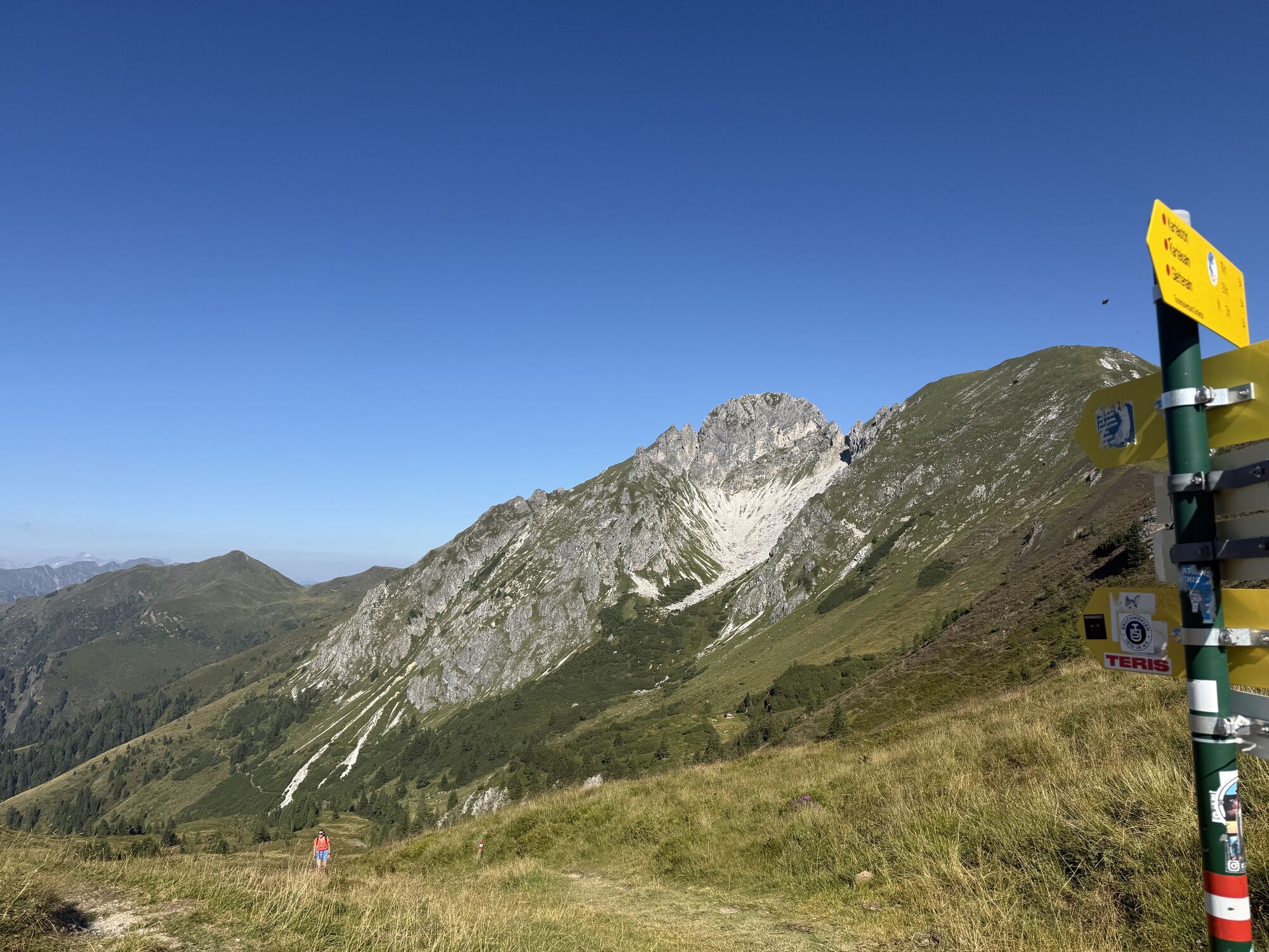
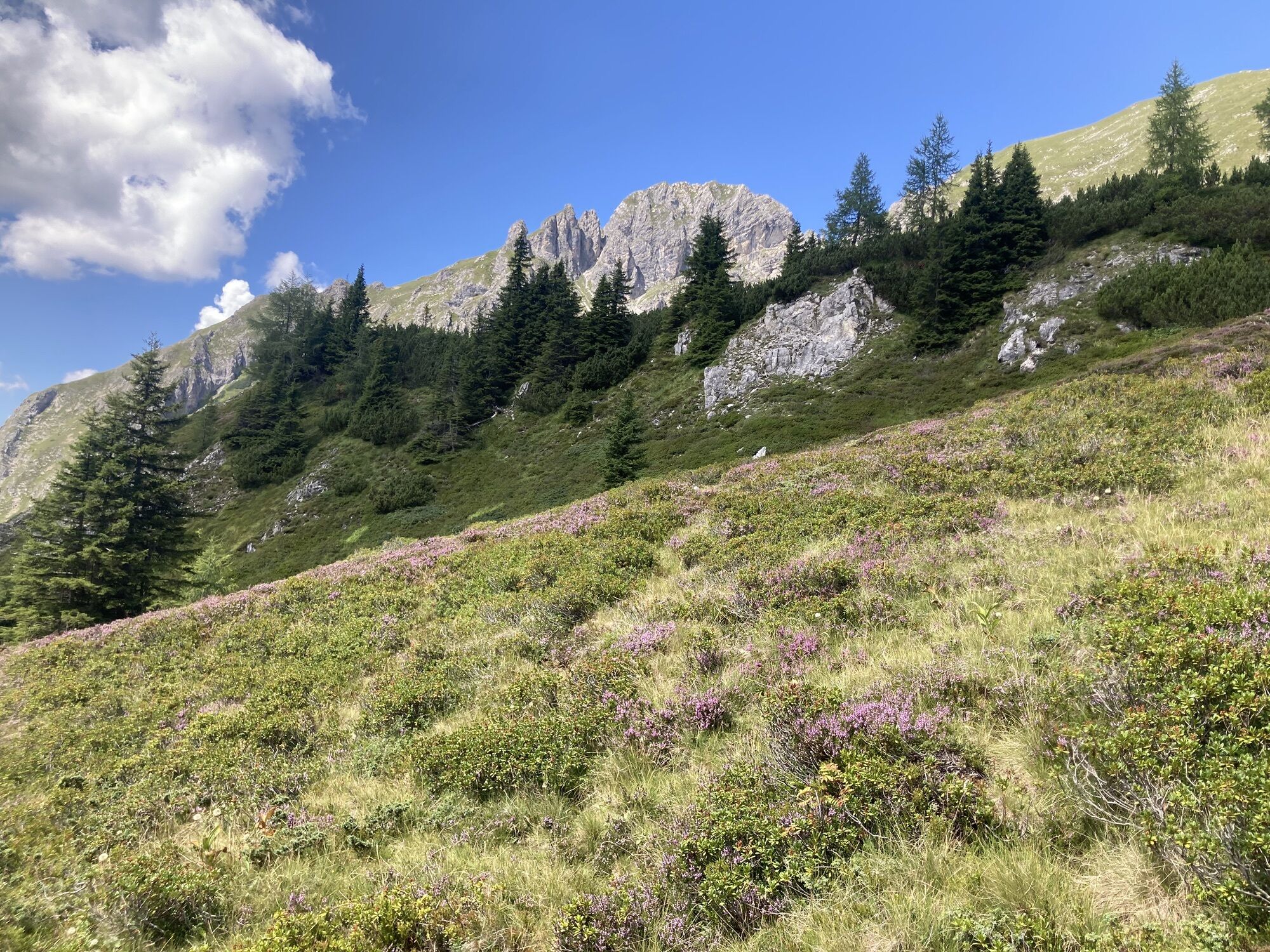
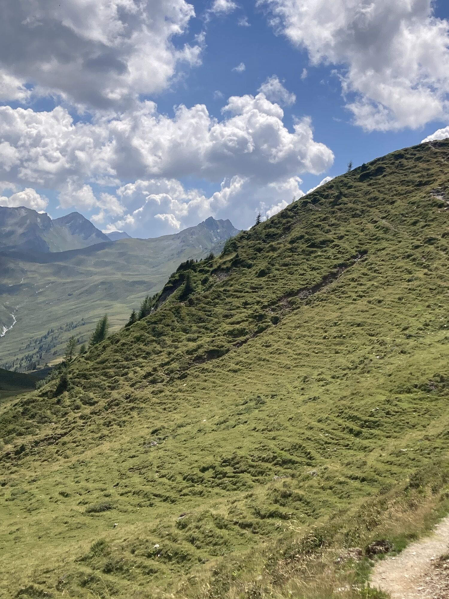
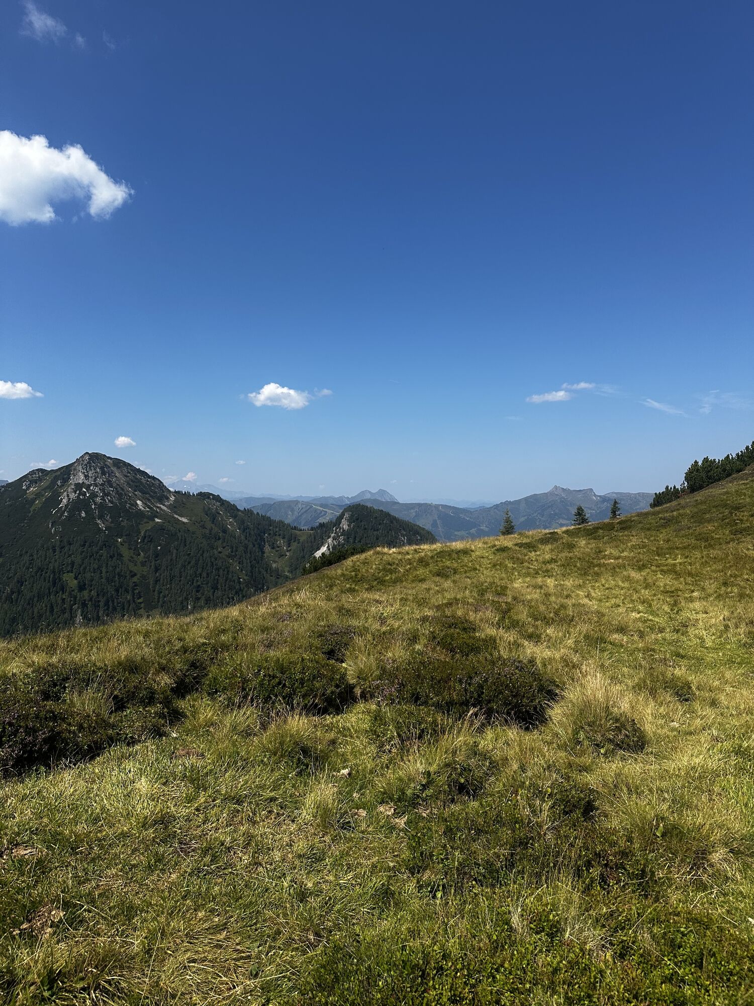
You are awakened on the alpine pasture by the ringing of cowbells. After a hearty alpine breakfast, the hike first leads back to the Karseggalm. Ascent over the Oberwand and Promaualm (both not serviced) to the Penkkopf and further to the Gründegg. From the Penkkopf and Gründegg, you have a wonderful panoramic view to the Hohe Tauern with the first peaks over 3000 meters, the Tennen and Hagen Mountains, and the Hochkönig. Walk along the mountain ridge to the Filzmoossattel. Right at the saddle is a particularly beautifully designed gentian flower that accompanies hikers along the whole Salzburger Almenweg. About 50 m above the Filzmoossattel is the Filzmooshöhe. Turning around you can see the majestic Draugstein overlooking the Ellmautal. This mountain is one of three limestone mountains in our valley and the clay of Draugstein is said to have healing properties. Two alpine huts await you at the Draugsteinalm, the left one being the Schrambachhütte and the right one the Steinmannhütte. Both offer delicacies from their own production (cheese, butter, bread, bacon, sausage, schnapps) and both allow overnight stays. But please reserve beds in advance!
Day 3:
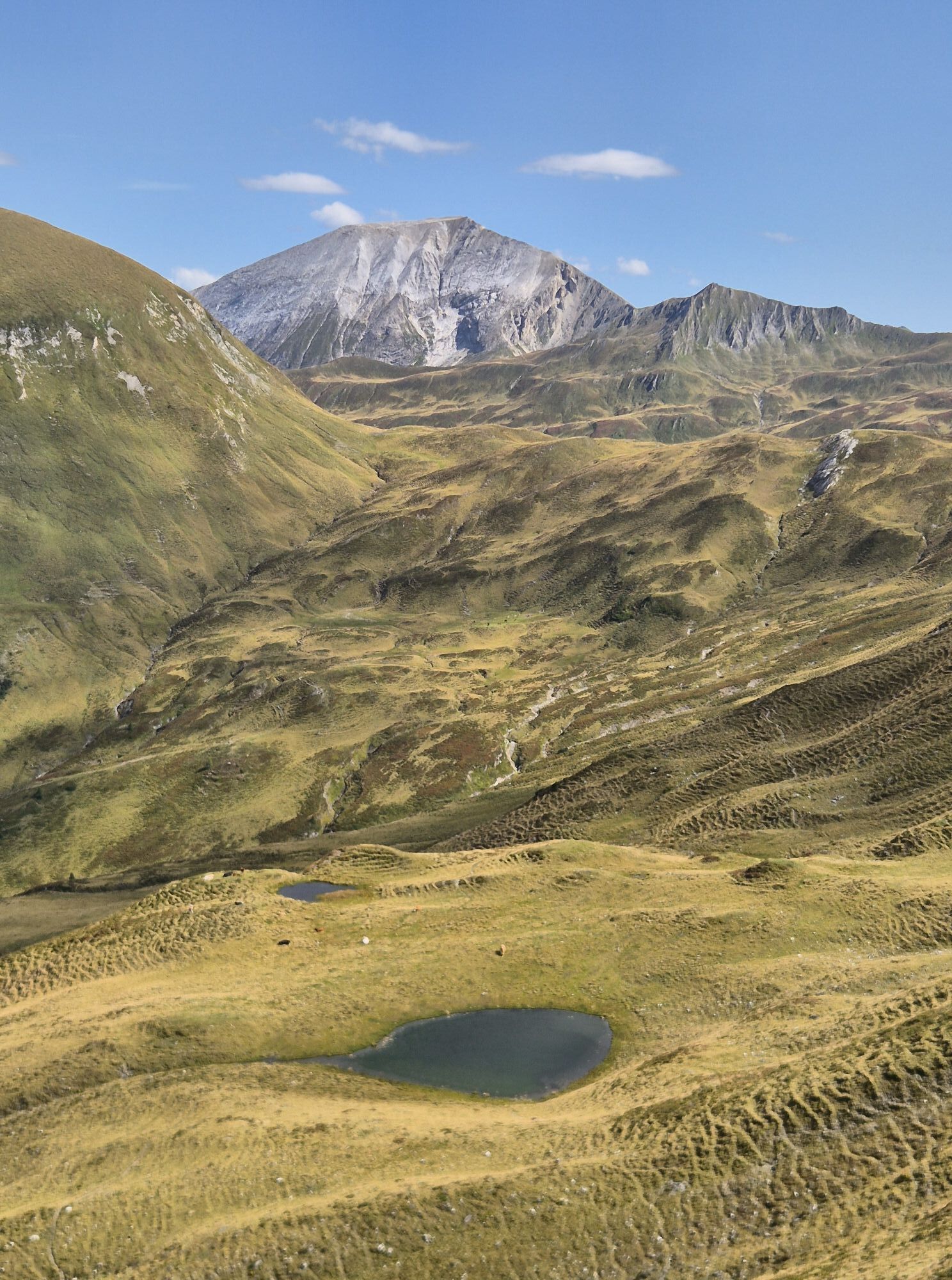
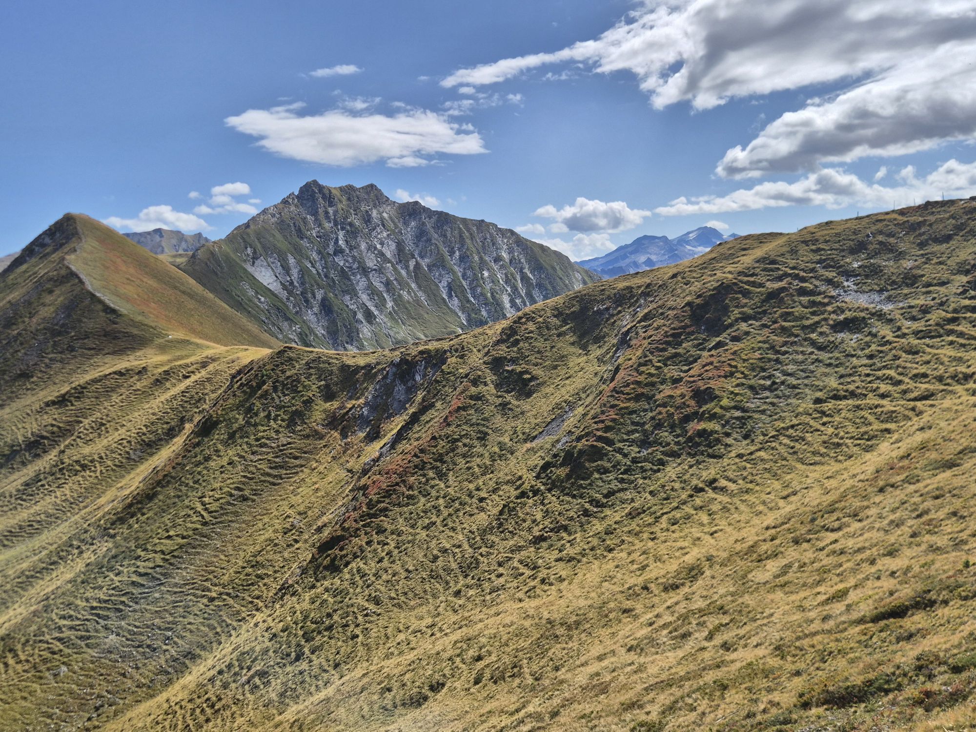
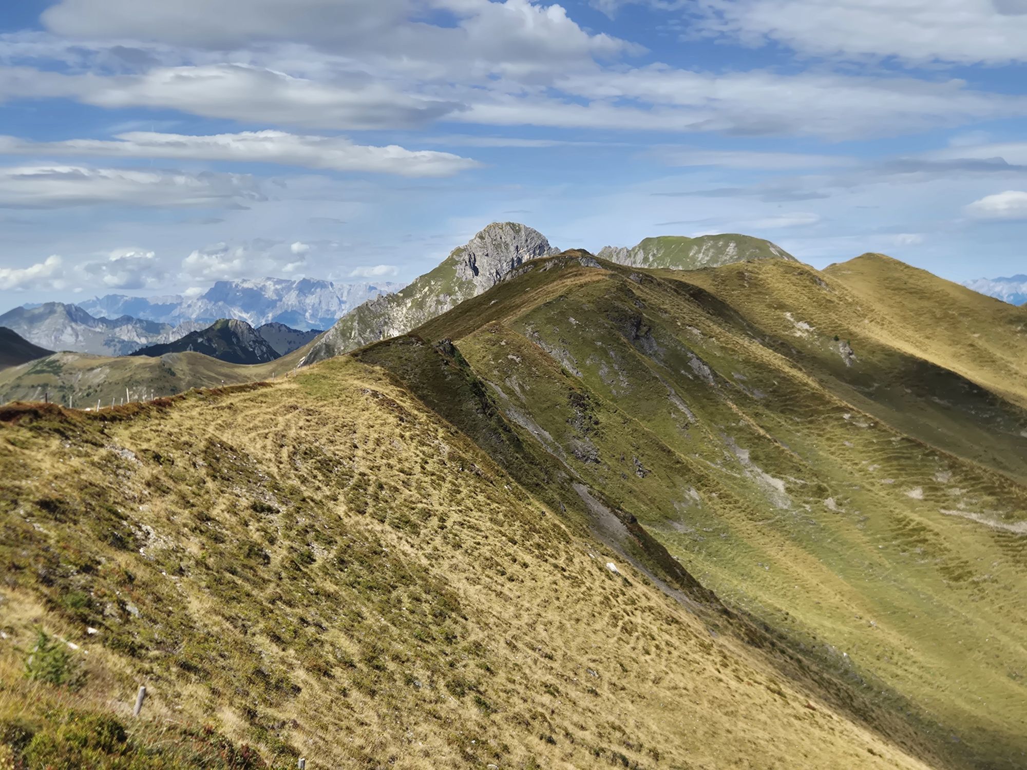
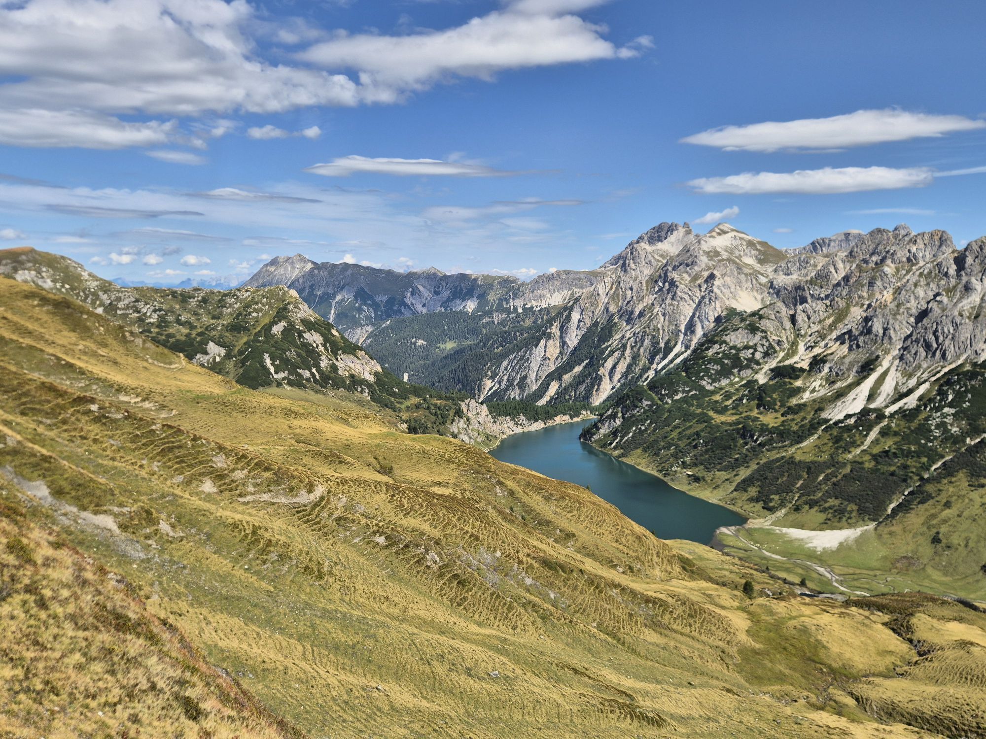
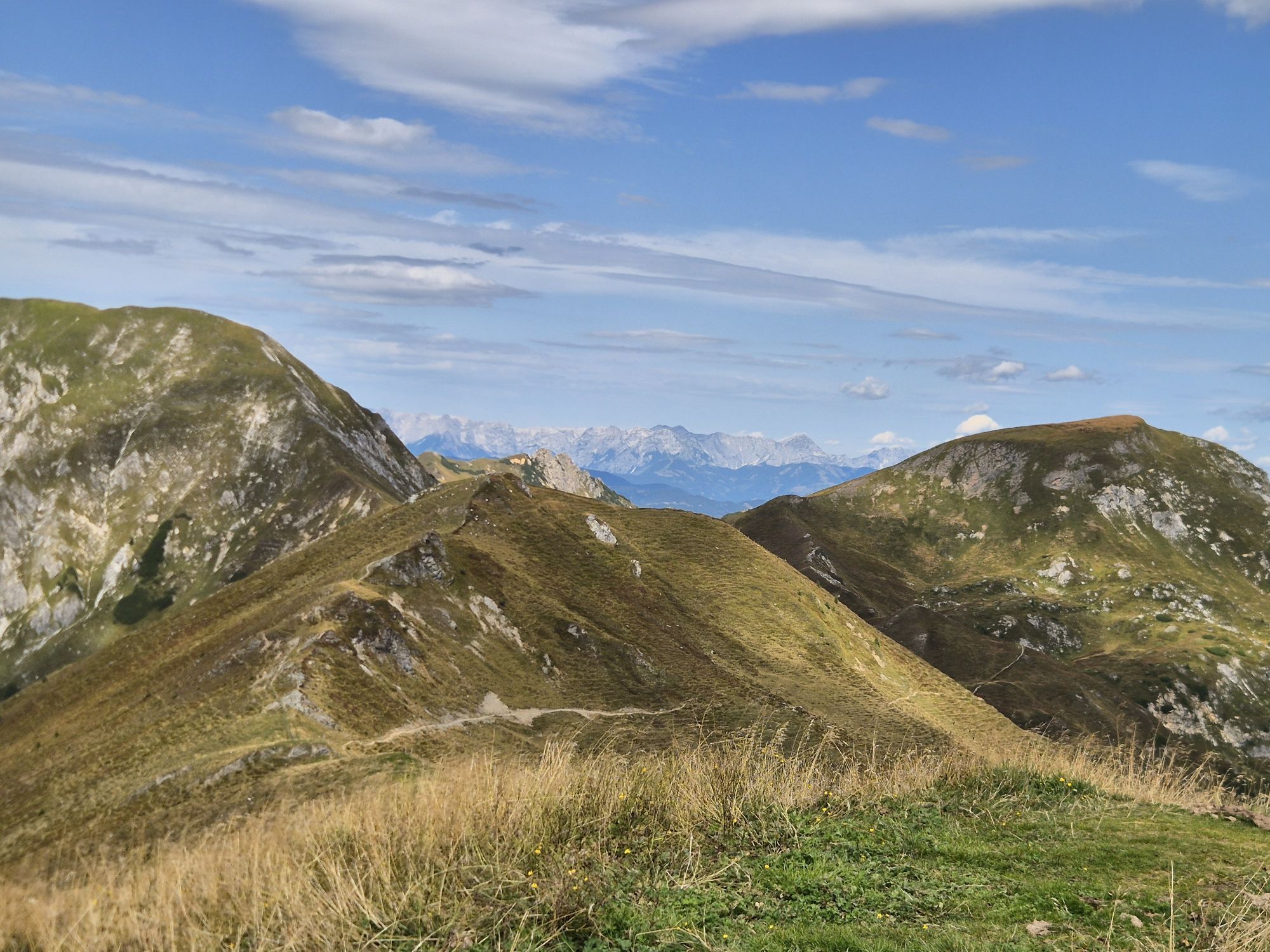
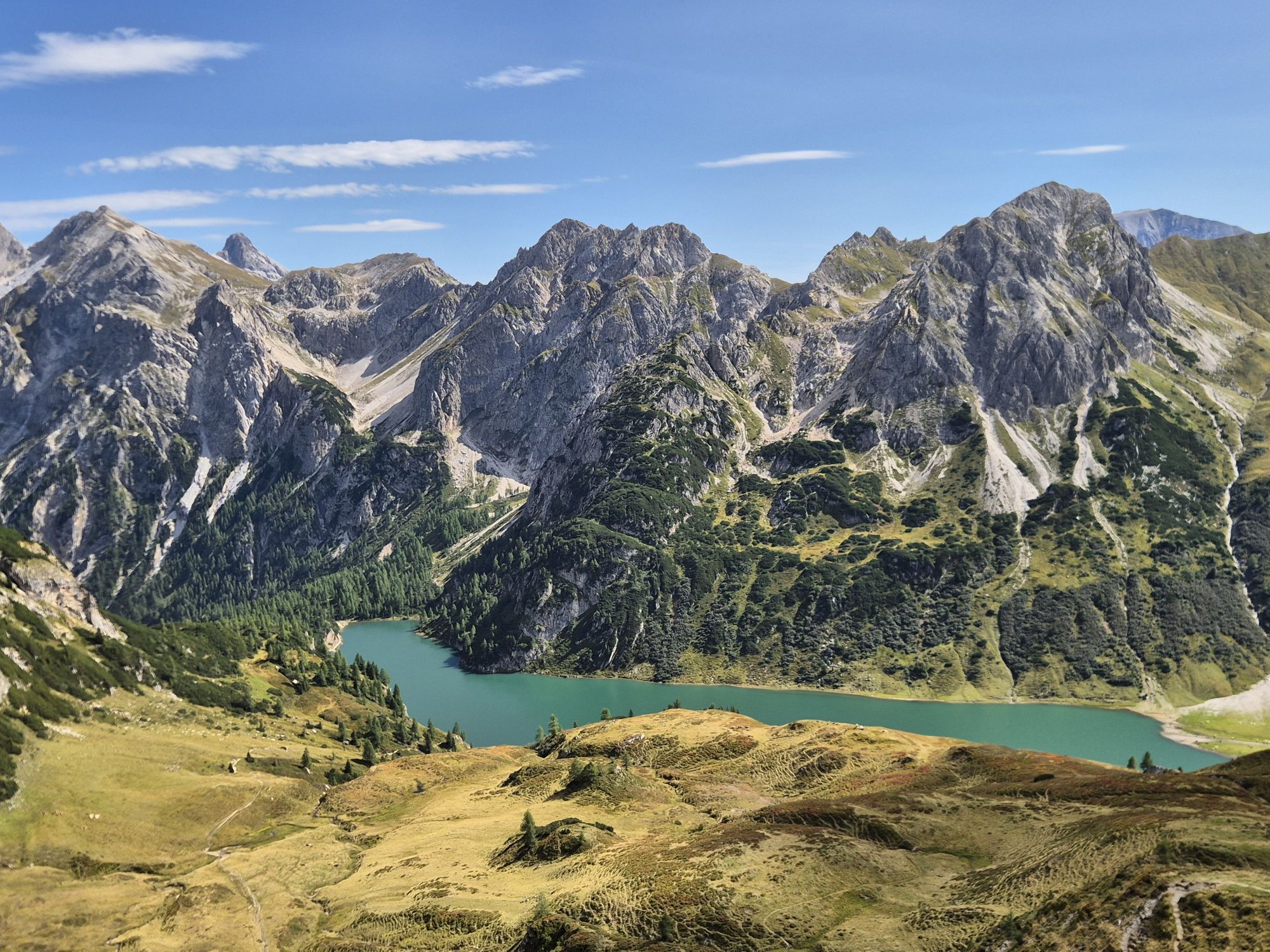
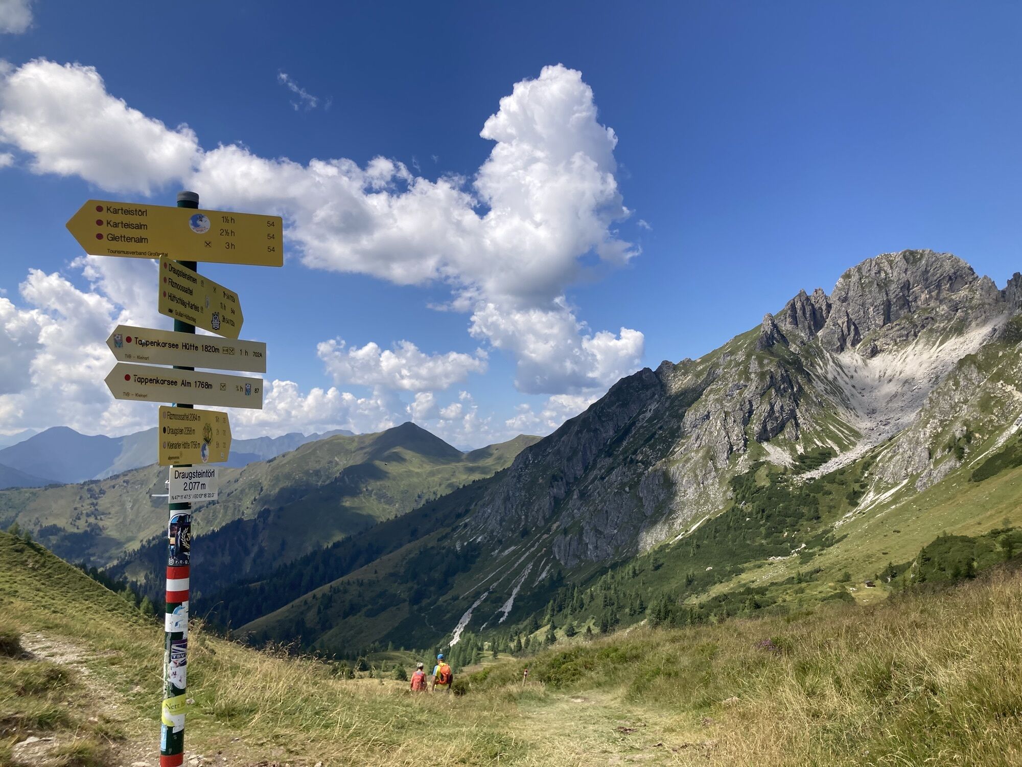
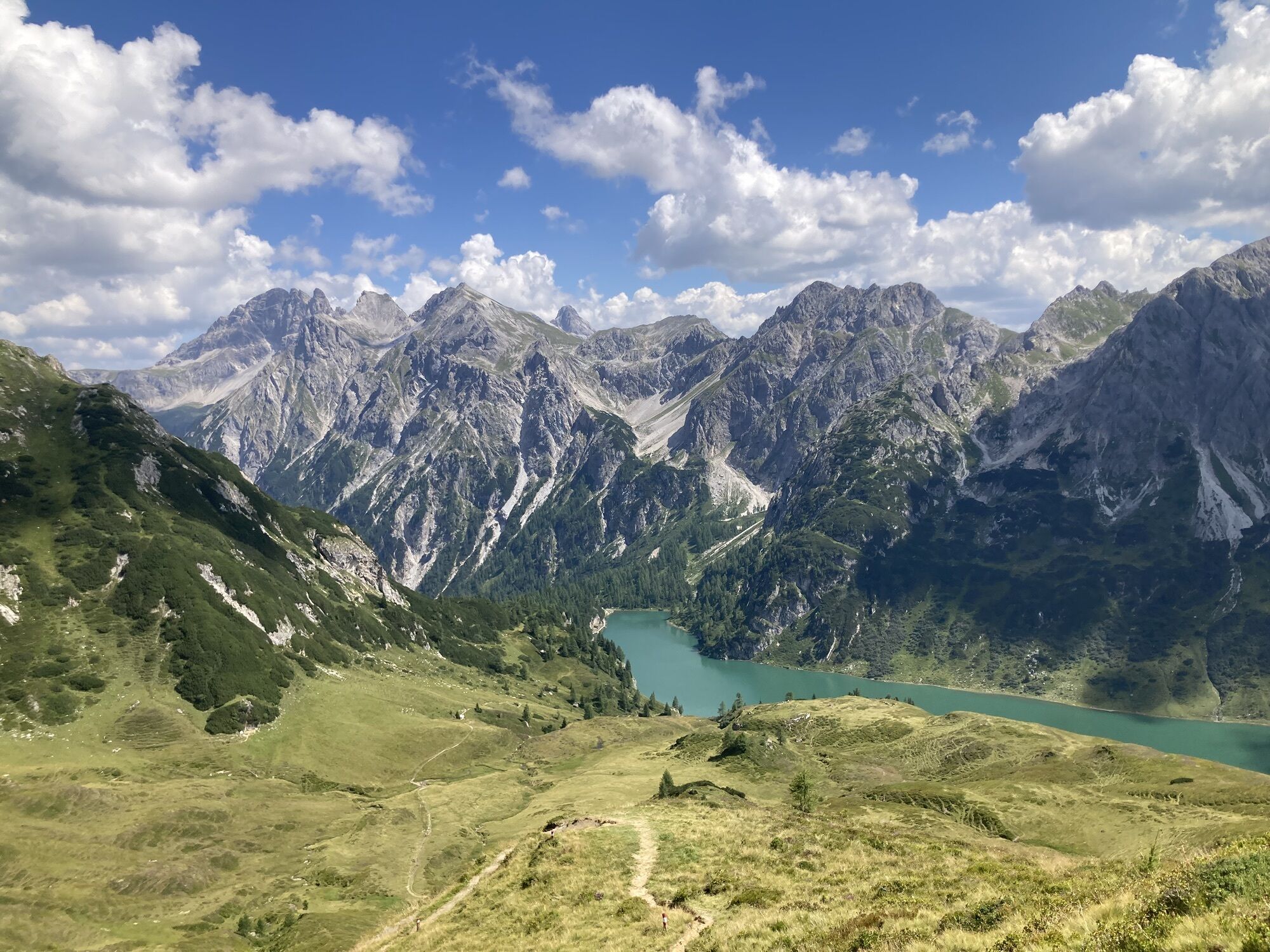
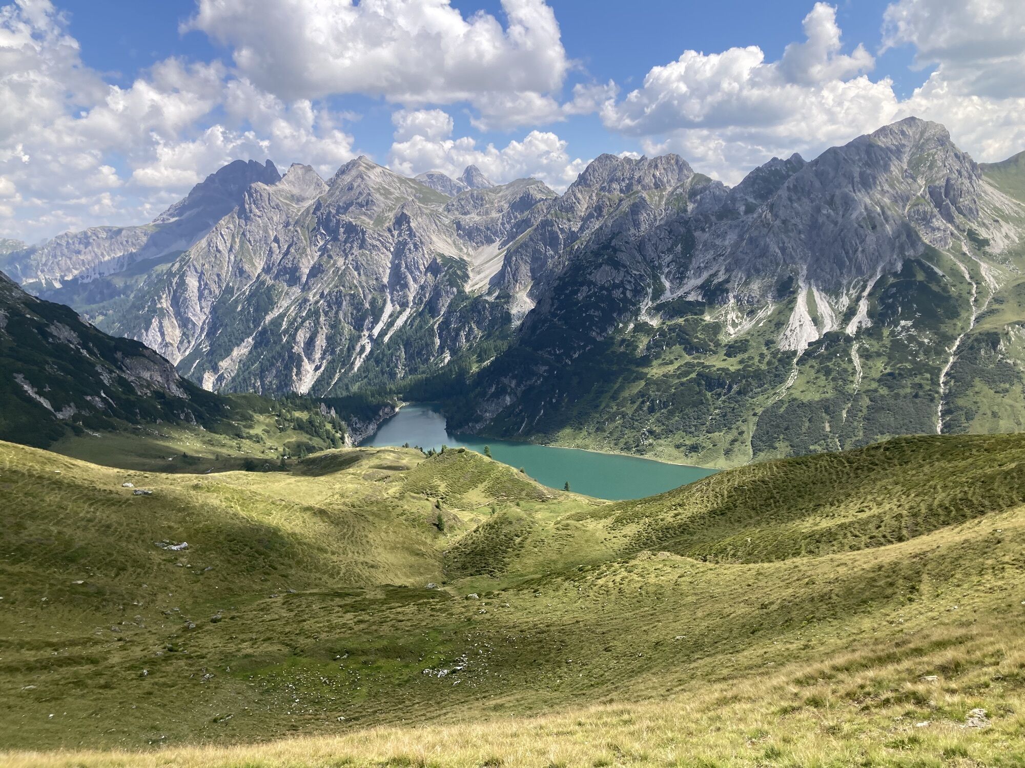
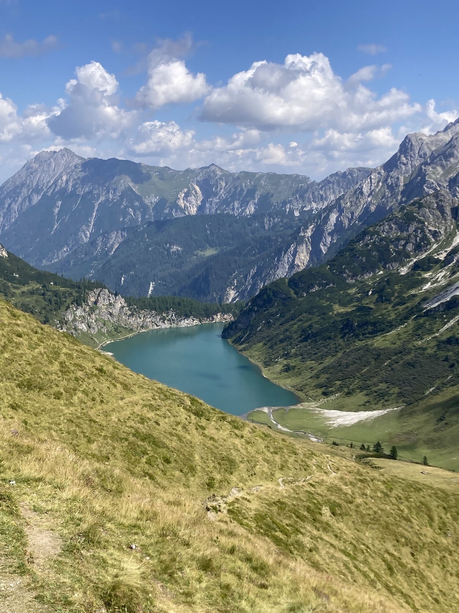
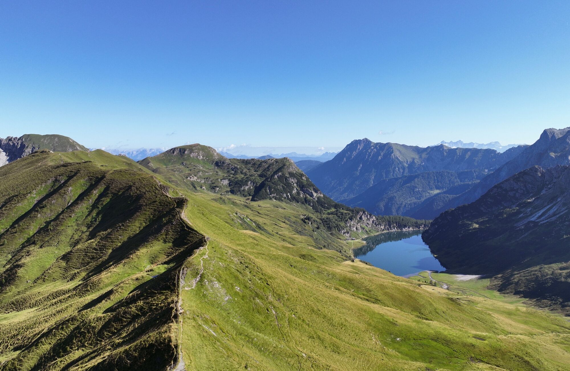
After a hearty alpine breakfast, the path leads to the Draugsteintörl. From here you have a beautiful view of the Tappenkarsee, the largest mountain lake in the Eastern Alps. Wonderful ridge hike to the Kreuzeck and descent through the Glettenalm area to the Glettenalm. Hikers are rewarded with a hearty snack consisting of homemade alpine products. The descent proceeds either via the forest path or, for those who want it sportier, via the hiking trail over the Ragglalm (not serviced) to the Hallmoosalm (not serviced). From here, there is the possibility to be picked up by hiking taxi or to drive down to the valley by private car. Alternatively, you can also hike through the forest to Hüttschlag/Karteis.
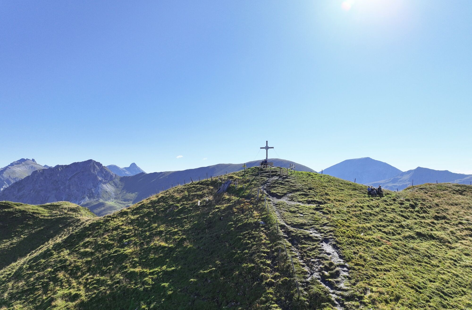
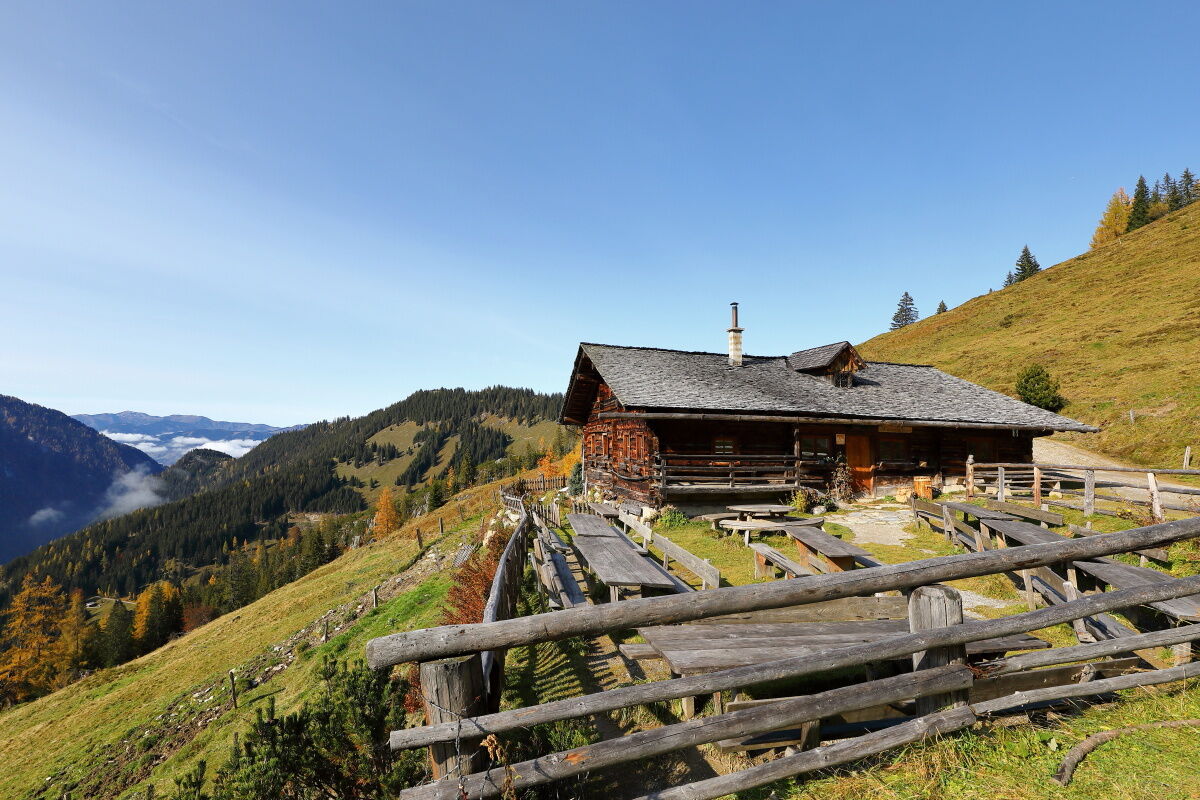
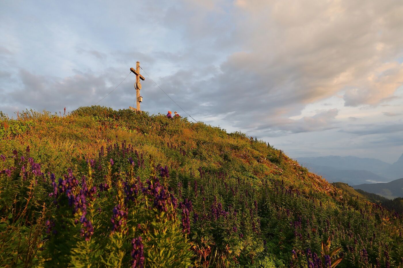
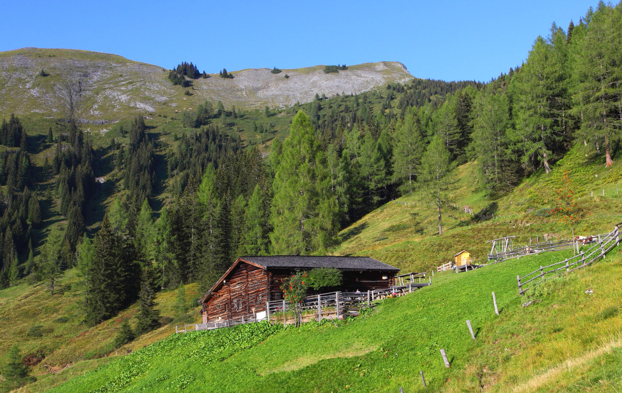
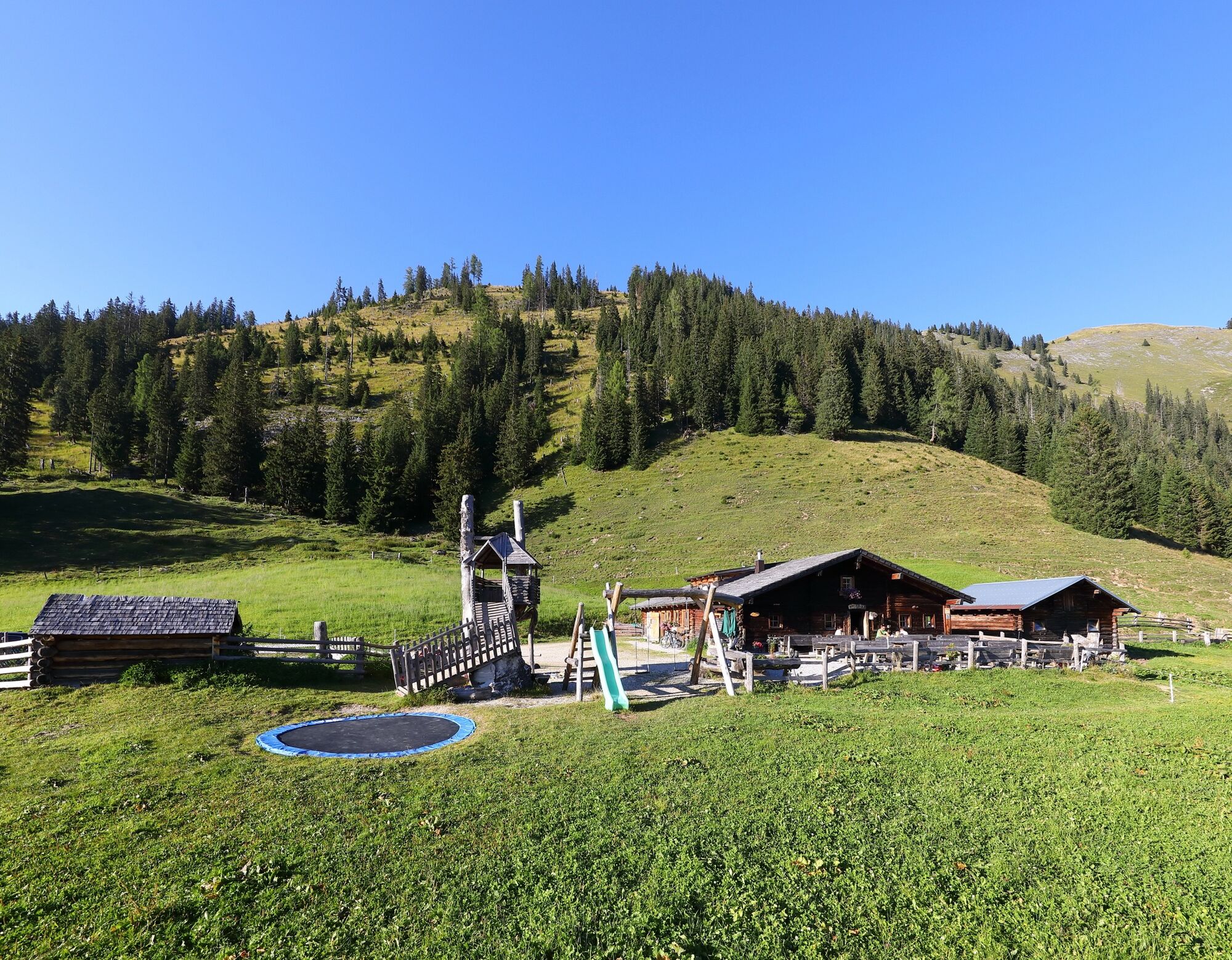
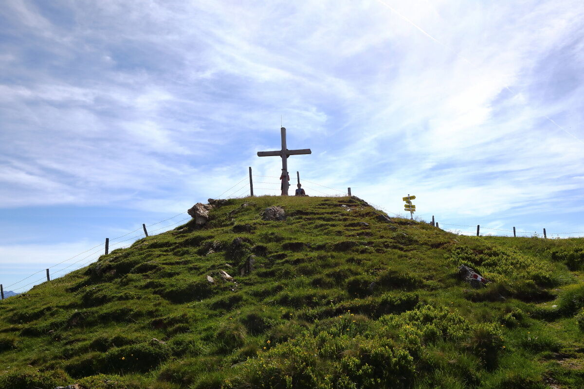
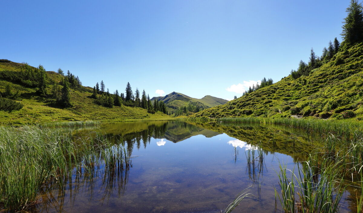
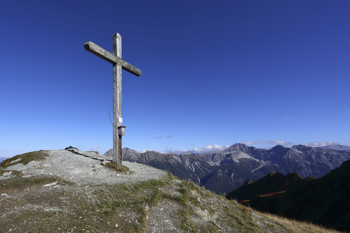
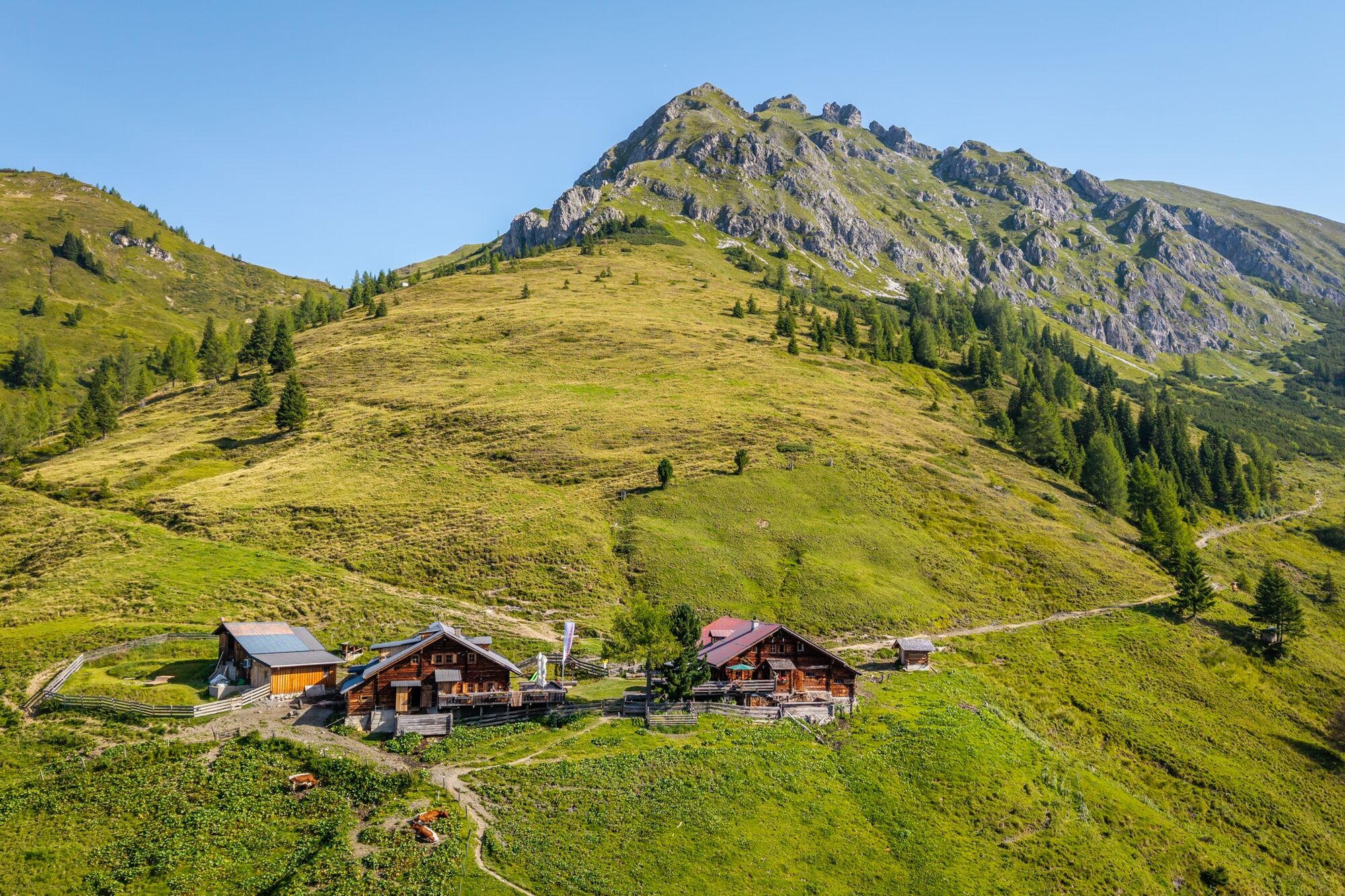
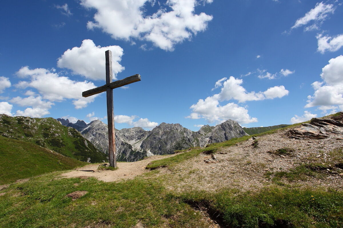

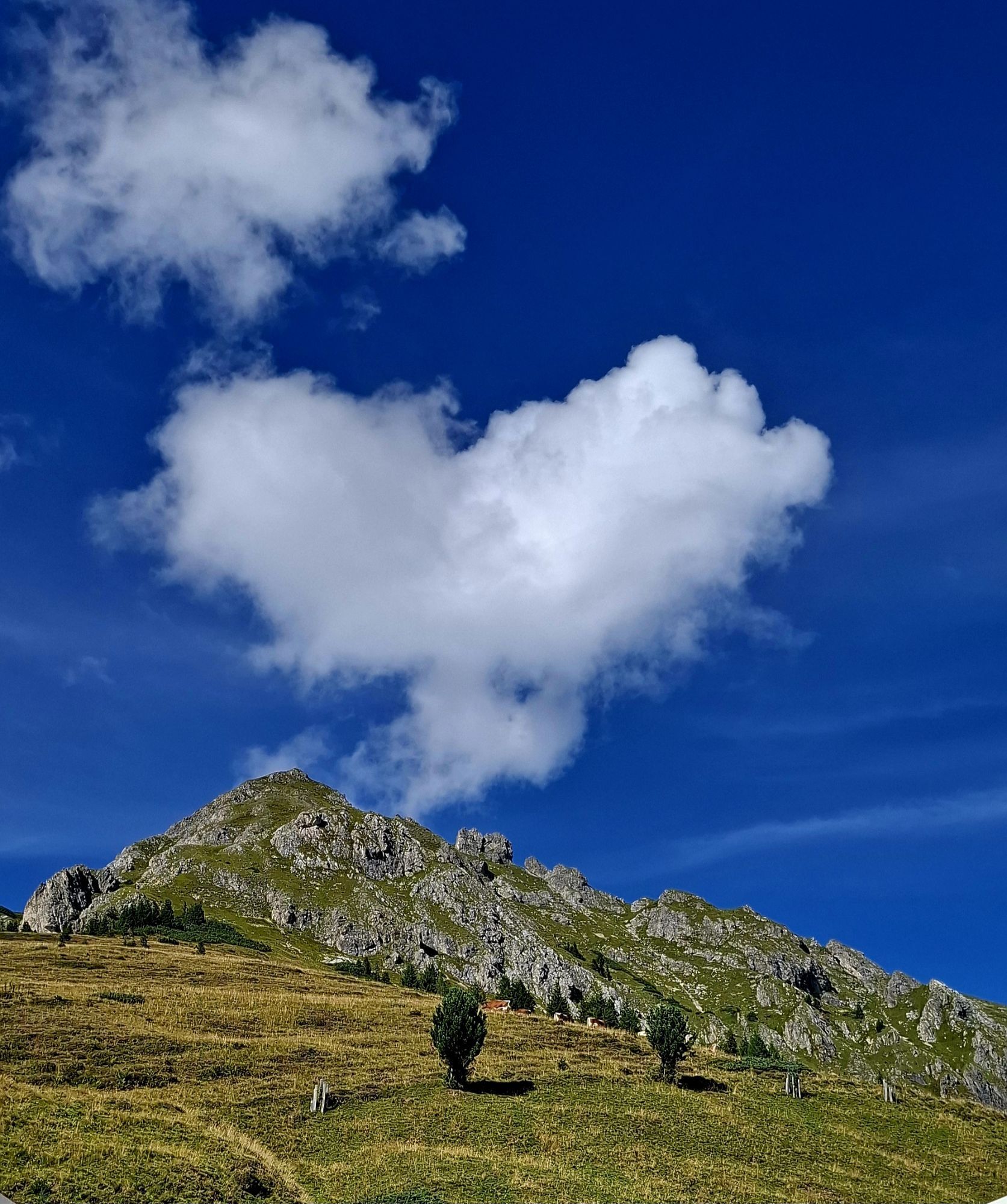
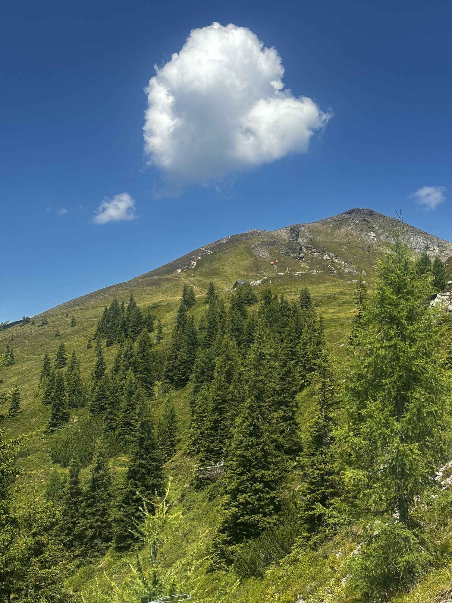
Day 1: Drive by car or hiking taxi to the Sonnegg bridge – parking available. Uphill on the forest road (path no. 71, partial shortcuts on trails between individual switchbacks possible). At the fork "Maurachalm/Unterwandalm" continue straight (= left) on path no. 71 to Muggenfeldalm, 1,545 m (approx. 1 3/4 h, closed) and to the Maurachalm, 1,620 m (approx. 1/4 h). From the Maurachalm ascent on trail no. 72 to the Auhofalm, 1,680 m (not serviced) and further along the ridge first to the weather cross and then to the summit of the Kitzstein, 2,037 m (approx. 1 1/2 h). Descent via the Promaualm, 1,858 m and Oberwandalm (both not serviced) down to the Karseggalm, 1,603 m (approx. 1 1/4 h). Continue on path no. 70 to the Unterwandalm, 1,600 m (approx. 1/2 h) – overnight stay at the Unterwandalm. Total walking time: approx. 5 1/4 hours
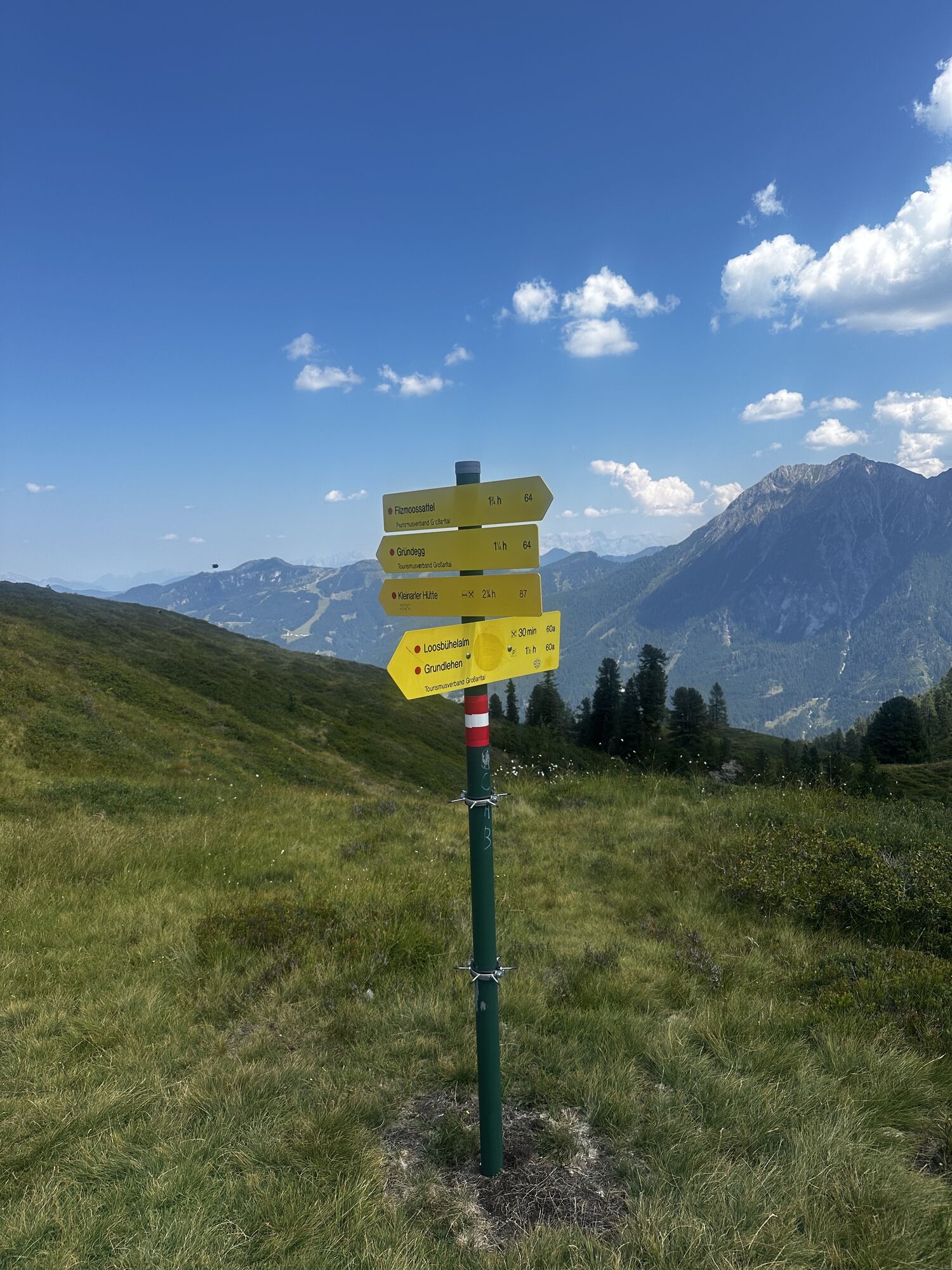
Day 2: Hike from the Unterwandalm to the Karseggalm (approx. 1/2 h), ascent on a trail (path no. 72) through the magnificent alpine meadows over the Oberwandalm to the Promaualm (both not serviced). Ascent along the ridge (path no. 67) to the right to the Penkkopf, 2,011 m and further to the Gründegg, 2,168 m (approx. 2 1/2 to 3 h), from here a wonderful ridge hike on the "Ellmautal Höhenweg" (path no. 64) to the Filzmoossattel, 2,062 m (approx. 3 h). Descent on path no. 54A to the two Draugsteinalmen, 1,778 m (approx. 3/4 h) – overnight stay at the Steinmannhütte or Schrambachhütte. Total walking time approx. 6 3/4 hours
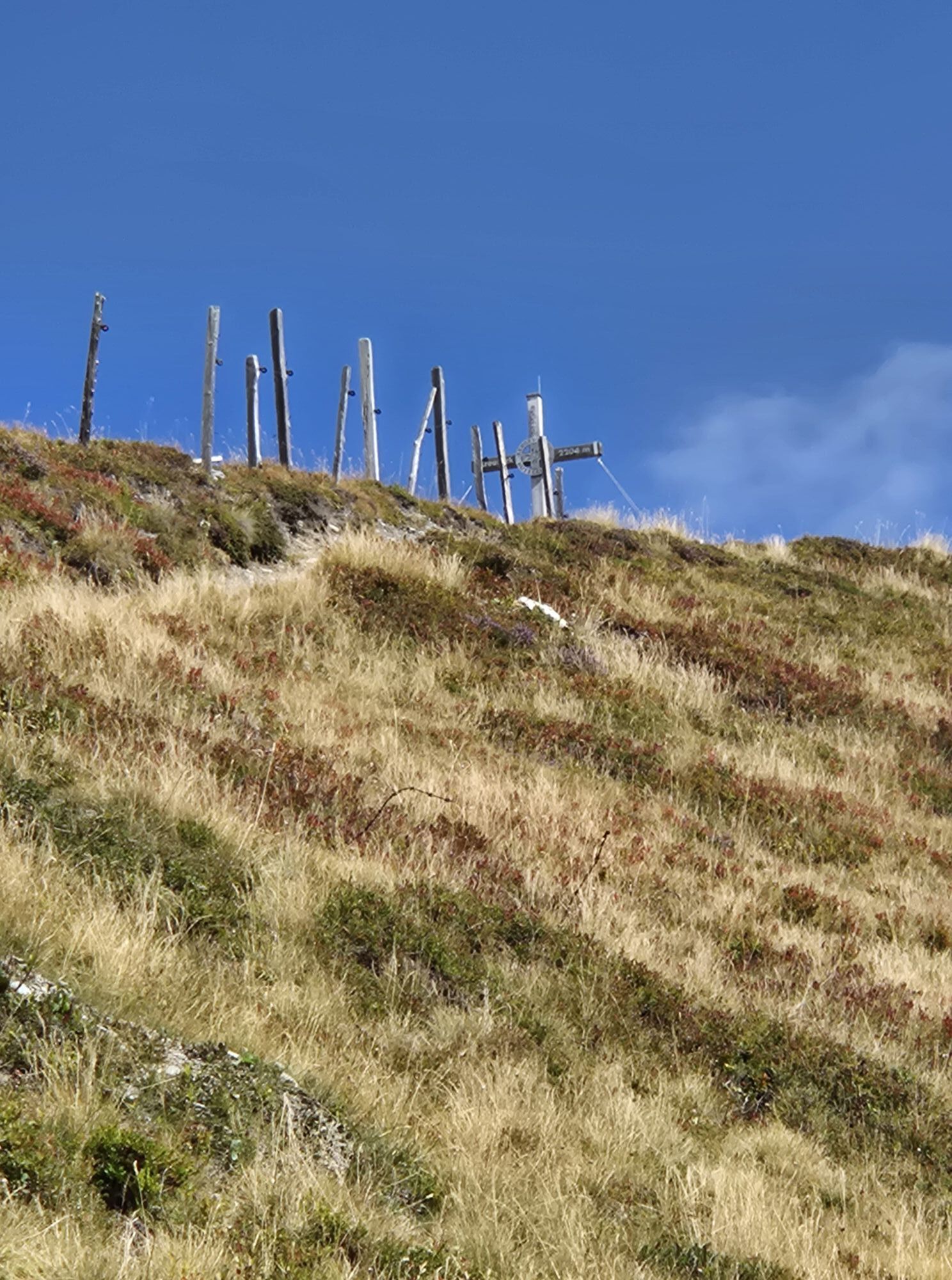
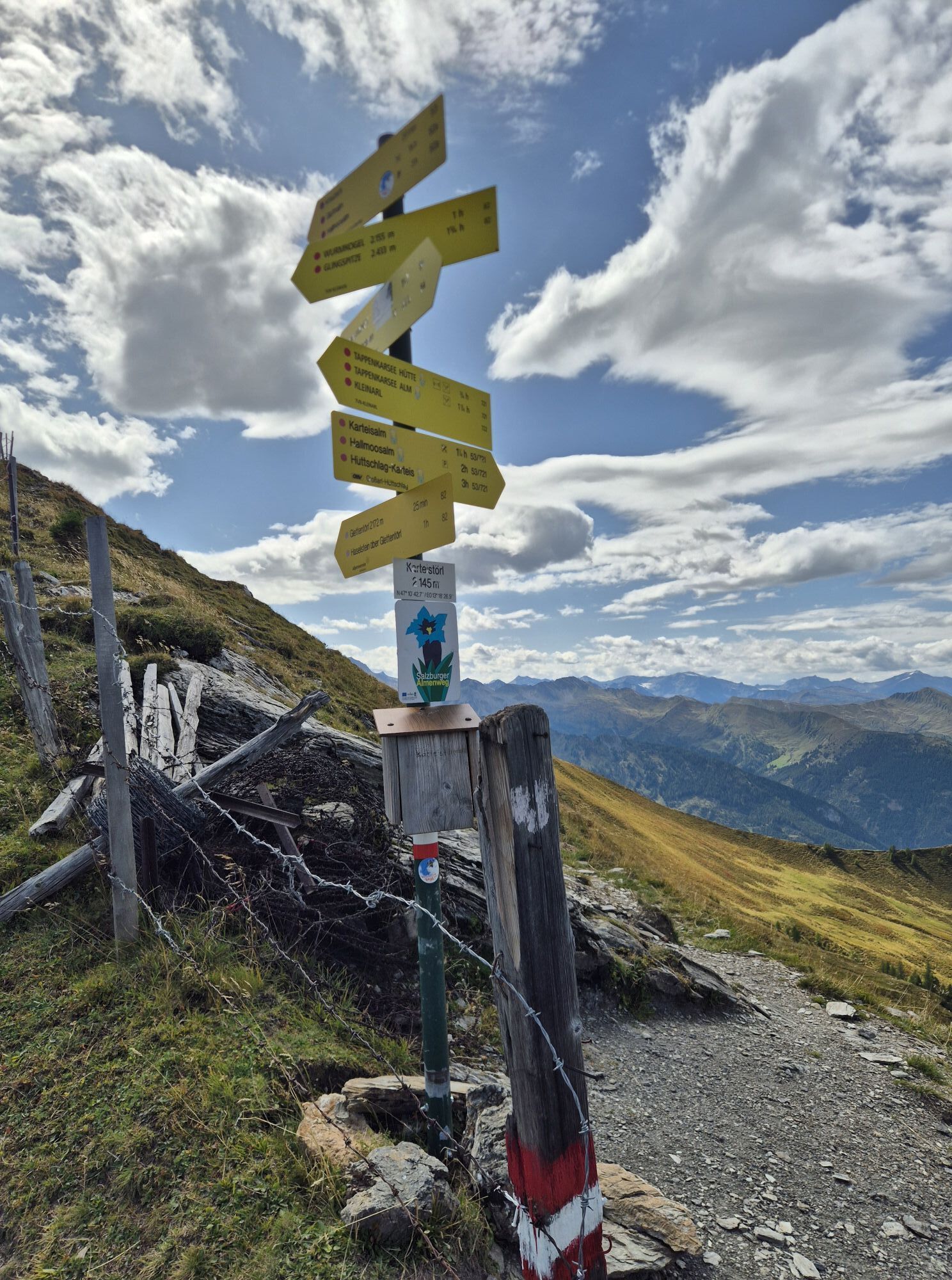
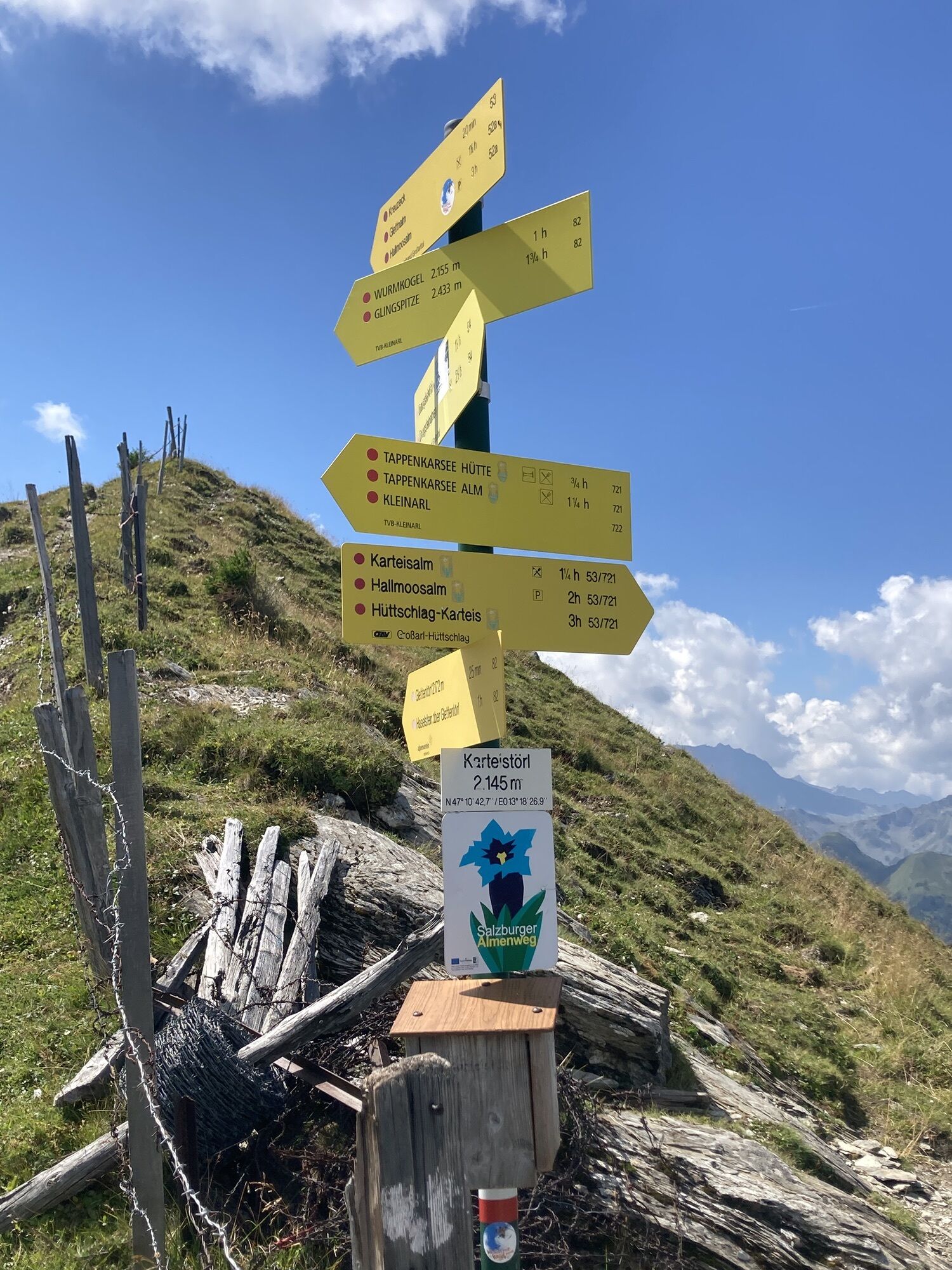
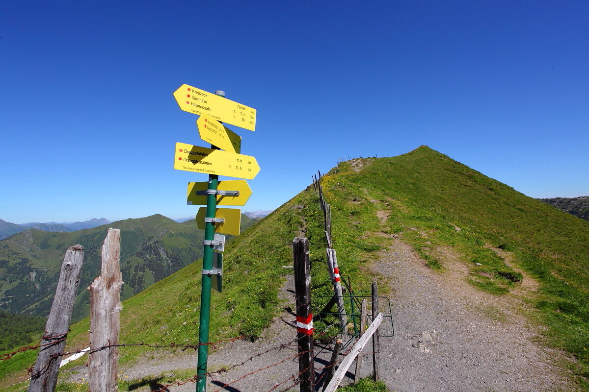
Day 3: Hike from the Draugsteinalmen on path no. 54 to the Draugsteintörl, 2,077 m (approx. 1 h). Ridge hike along path no. 54 to the Karteistörl, 2,145 m (approx. 1 h). Hike on path no. 53 to the Kreuzeck, 2,204 m (approx. 1/4 h). Descent on path no. 52A through alpine meadows to the Glettenalm, 1,760 m (approx. 1 h) and further on path no. 52A over the Ragglalm, 1,646 m (not serviced) to the Hallmoosalm, 1,300 m (approx. 2 h - not serviced). From here, transport by car or hiking taxi is possible. Otherwise, descent on paths no. 24, 25B to Hüttschlag/Karteis (approx. 1 h from the Hallmoosalm). Total walking time: approx. 5 1/4 hours
Ano
Hiking boots with profiled sole, some fruit, drinks (refillable bottles), wind and rain protection, toiletries, warm clothing and clothes for changing, flashlight, mini first aid kit, hiking map, sunscreen, chocolate or muesli bars, …
Prends suffisamment à boire et à manger pour les randonnées de la journée, car tu n’atteindras une cabane qu'à la fin de chaque randonnée journalière.
Drive by car or hiking taxi via the Sonneggweg in the district Au to the Sonnegg bridge.
Sonnegg bridge parking lot
On the third day a descent to the Tappenkarsee is recommended. The descent takes about 3/4 of an hour. There you will be treated to delicacies at the Tappenkarseealm and Tappenkarseehütte.
Webové kamery z prohlídky
-
Gernkogel - Alpendorf St. Johann
-
Hotel Lammwirt im Großarltal/Ellmautal
-
Talschluss des Grossarltals - Steinmannbauer
-
Ellmautal - Palfenhof
-
St. Johann-Alpendorf
-
Großarl - Ort
-
St.Johann-Alpendorf Gernkogel
-
Gernkogel - Alpendorf St. Johann
-
Mooslehen Berg
-
Großarl - Loosbühelalm
-
Großarl - Hotel Kristall Übungslift
-
Gernkogel - Alpendorf St. Johann
-
Gernkogel - Alpendorf St. Johann
-
Gernkogel - Alpendorf St. Johann
-
Gernkogel - Alpendorf St. Johann
-
Hüttschlag - Grossarltal
-
St. Johann-Alpendorf

Oblíbené prohlídky v okolí
-
4.9
4-Gipfel-Tour
středníHorská turistika 6.40 km -
4.9
Großarl: Heukareck
středníTuristika 12.5 km -
4.9
Großarl: Aualm - Liechtensteinkopf - Aukopf - Schuhflicker - Schuhflickersee
středníTuristika 5.84 km -
4.2
Tappenkarsee Kleinarl
středníTuristika 9.11 km -
4.8
Großarl: Himmelsroute
středníTuristika 5.41 km -
5.0
Großarl: Alpine pasture circuit in Ellmautal
středníTuristika 9.69 km -
4.6
Großarl: Mooslehenalm – Niggeltalalm – Viehhausalm
středníTuristika 5.44 km -
4.6
Ski route Lackenkogel
středníLyžařská trasa 7.82 km -
4.7
Großarl: Saukaralm - Saukarkopf - Gerstreitalm
středníTuristika 9.39 km -
4.6
Grießenkareck
středníTuristika 4.89 km

Pěší turistika a stopování


Nenechte si ujít nabídky a inspiraci pro vaši příští dovolenou
Vaše e-mailová adresa byl přidán do poštovního seznamu.





