


Großarltal: 3-day hike from Murtörl to Großarl
Úroveň obtížnosti: T3


Day 1:
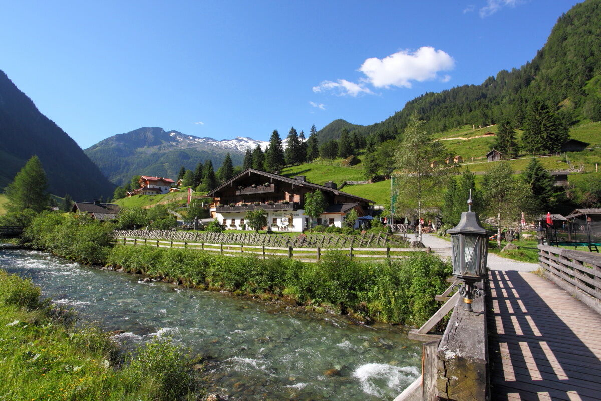
This hike starts at the Hüttschlag valley end parking lot. At theGasthof Talwirt there are local delicacies and you can buy homemade smoked bacon. On the first floor of the Talwirt is the mountain...
This hike starts at the Hüttschlag valley end parking lot. At theGasthof Talwirt there are local delicacies and you can buy homemade smoked bacon. On the first floor of the Talwirt is the mountain forest exhibition and an information point of the Hohe Tauern National Park. Right next door is the valley museum of the Großarl valley.
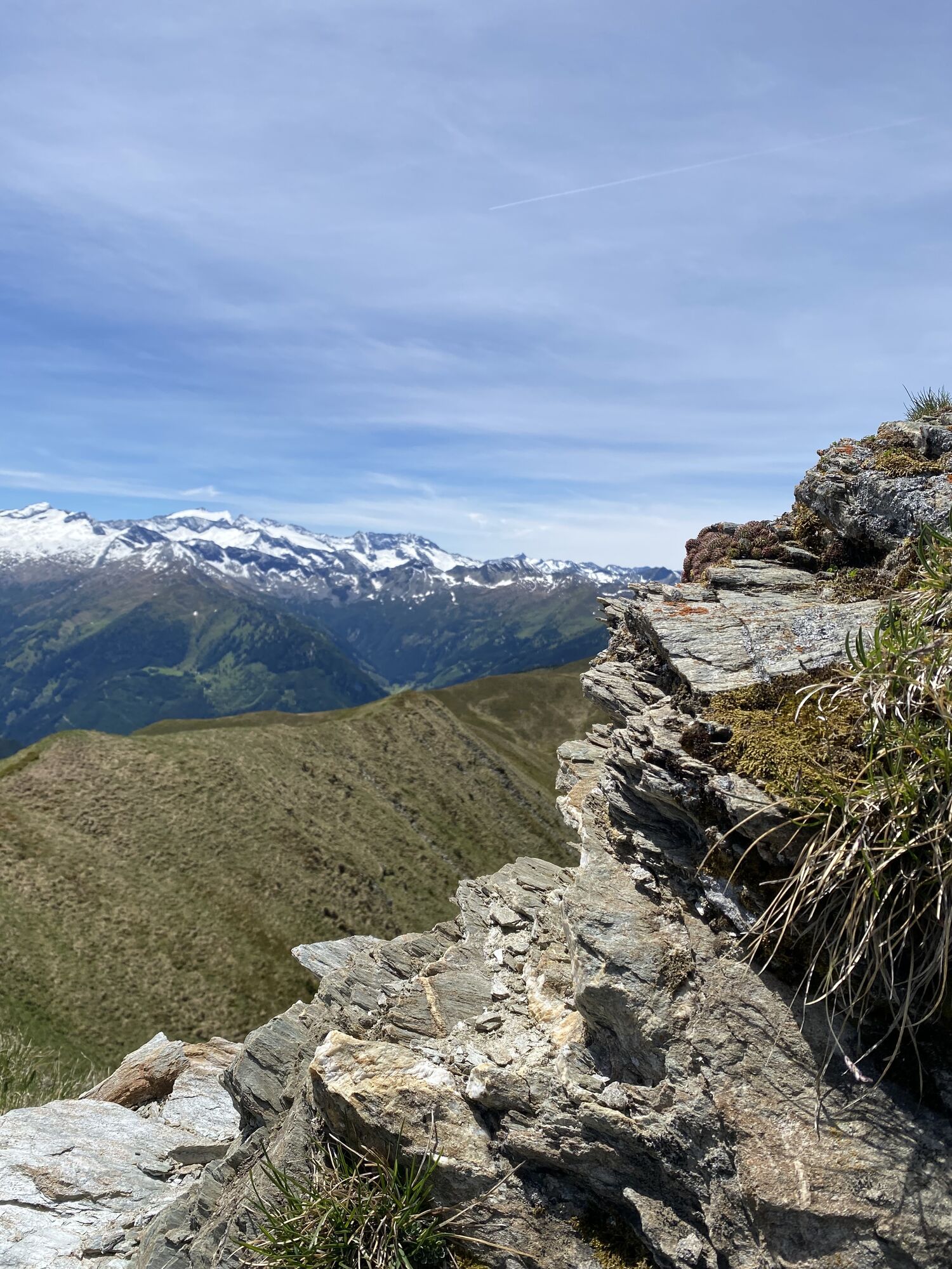
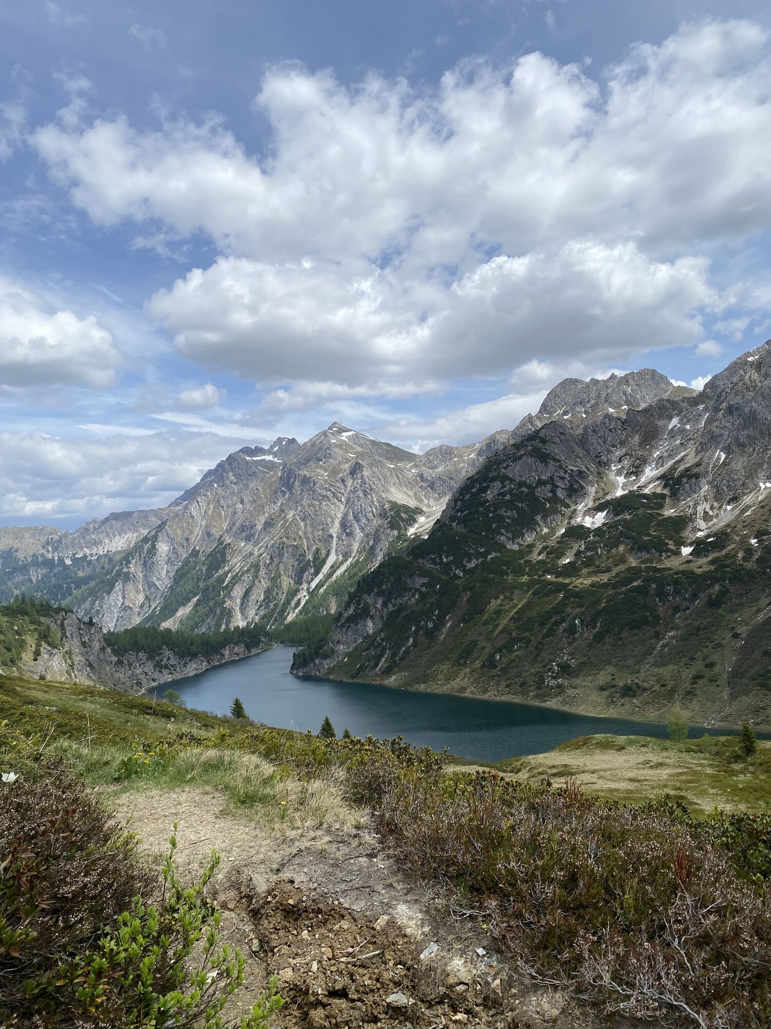
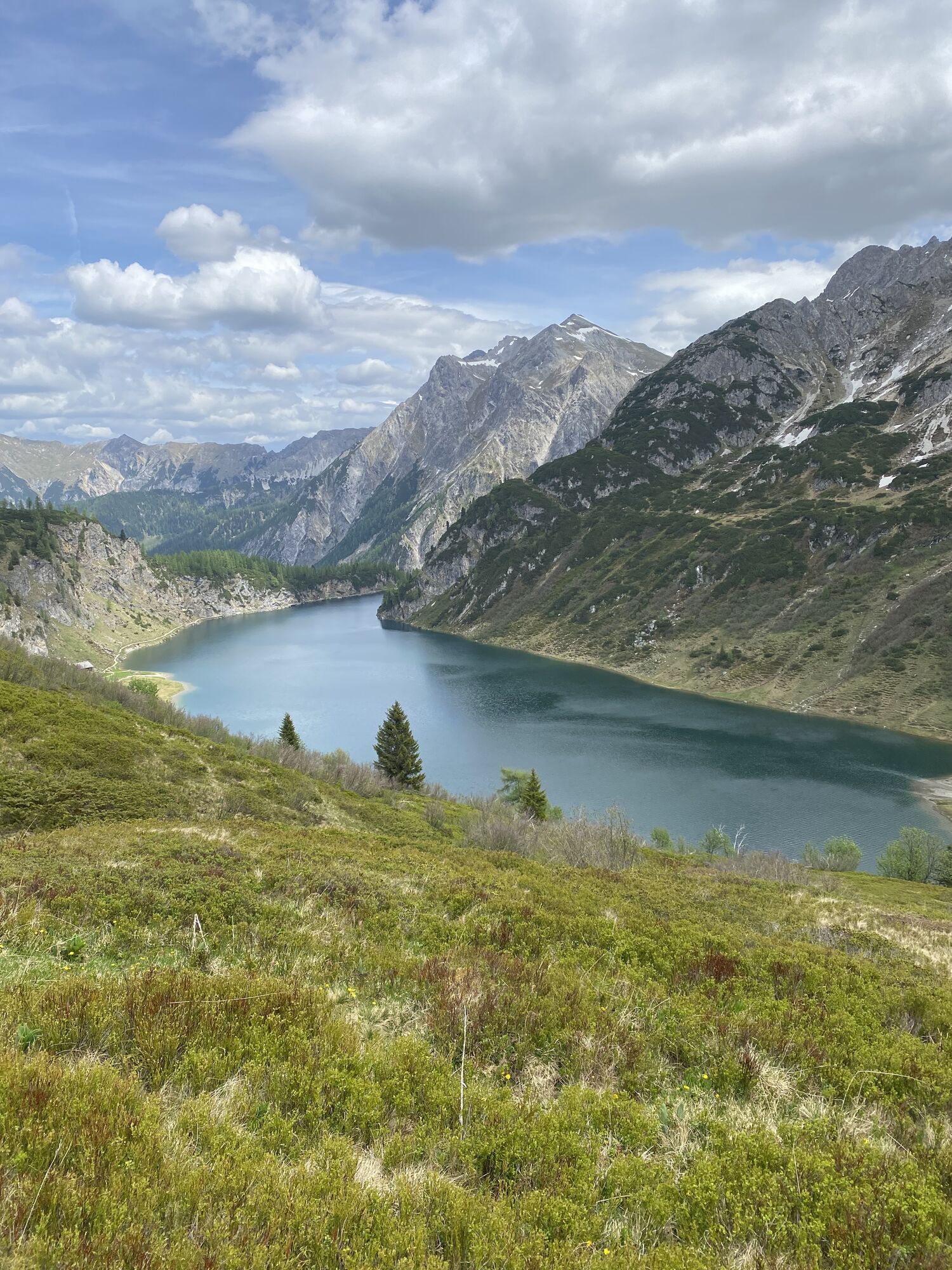
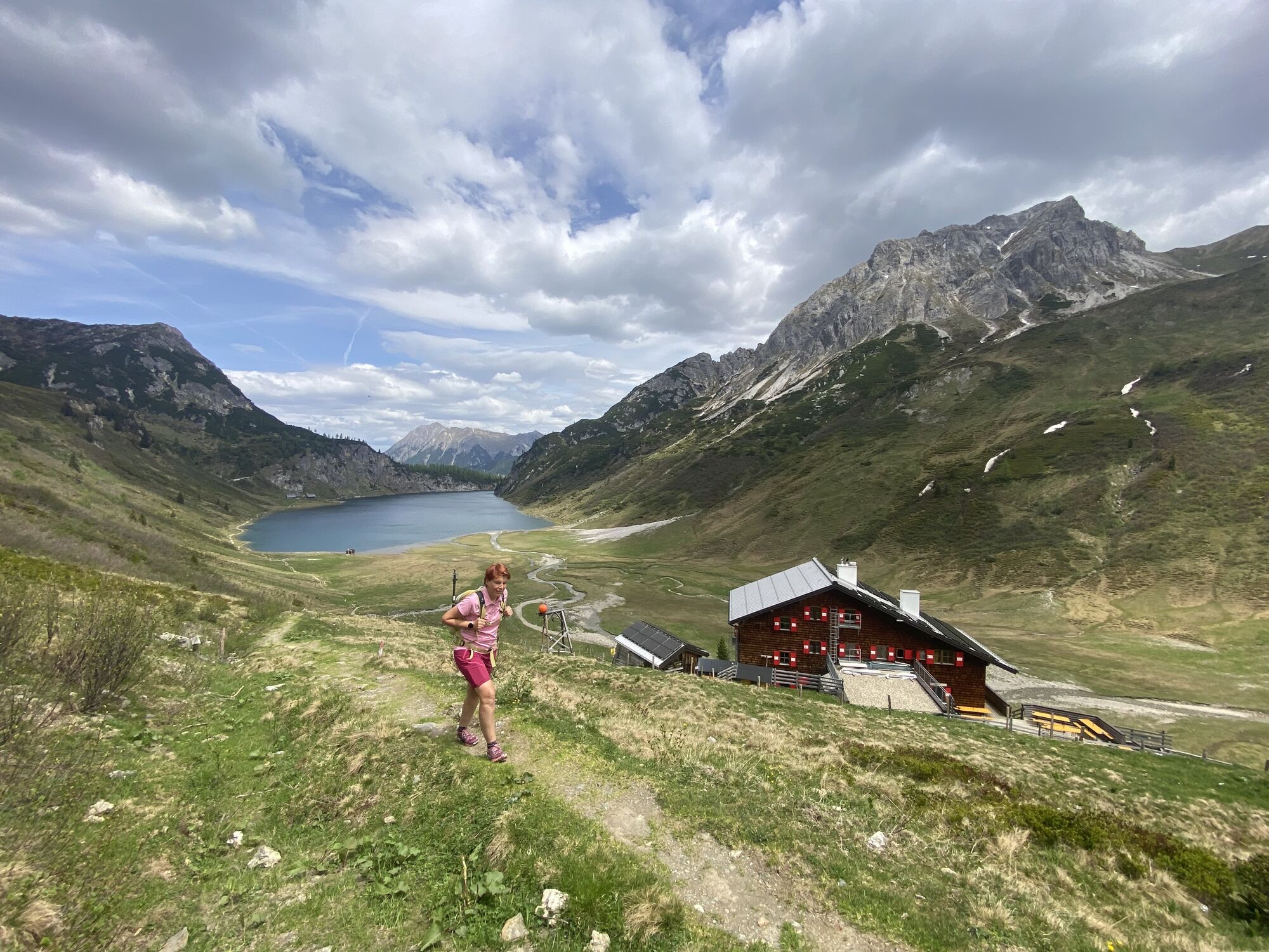
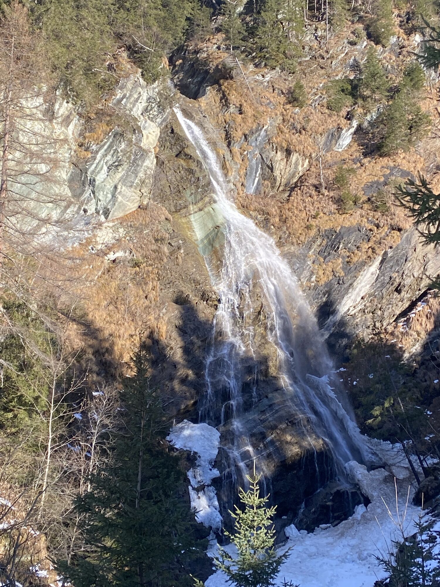
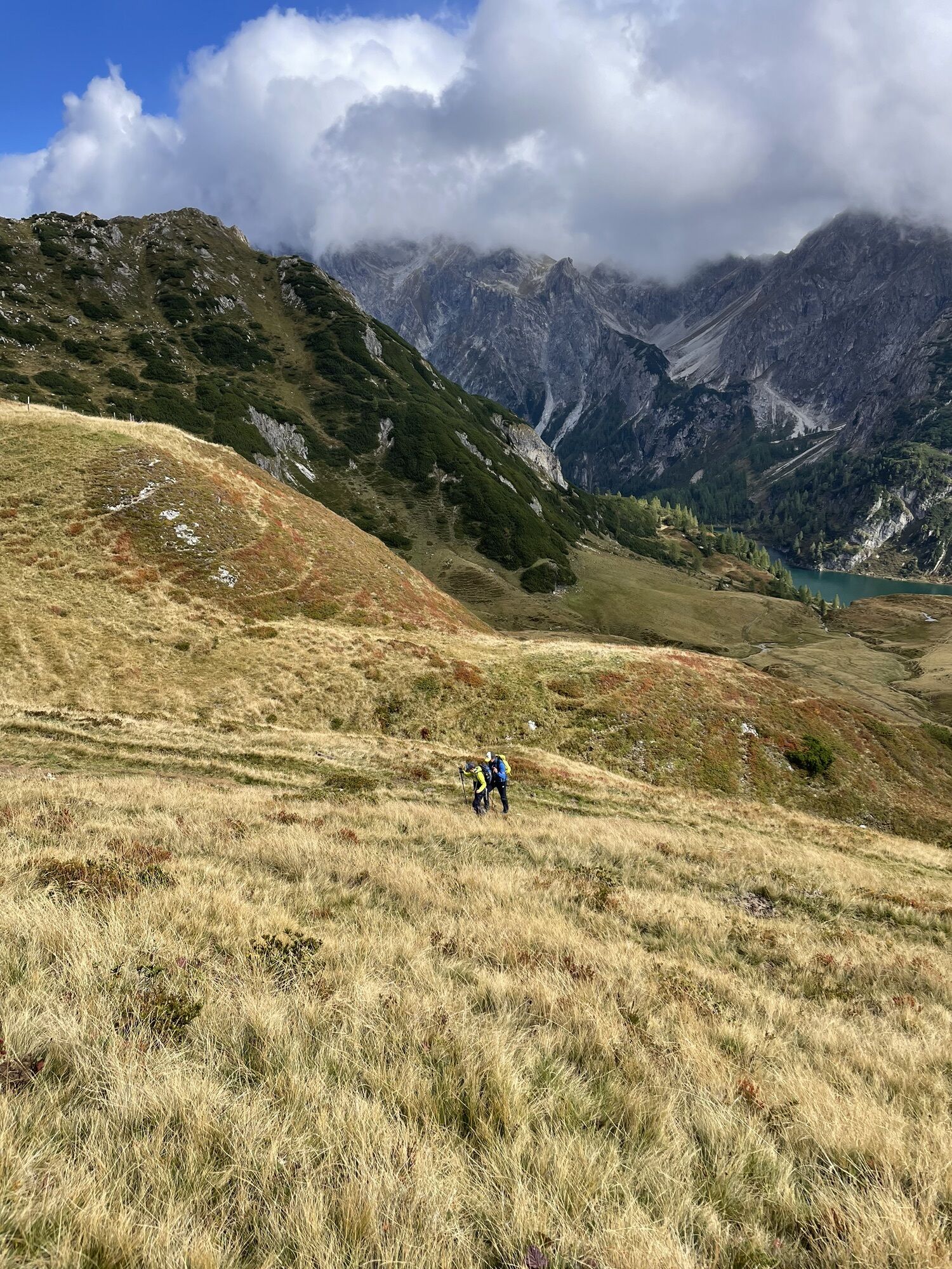
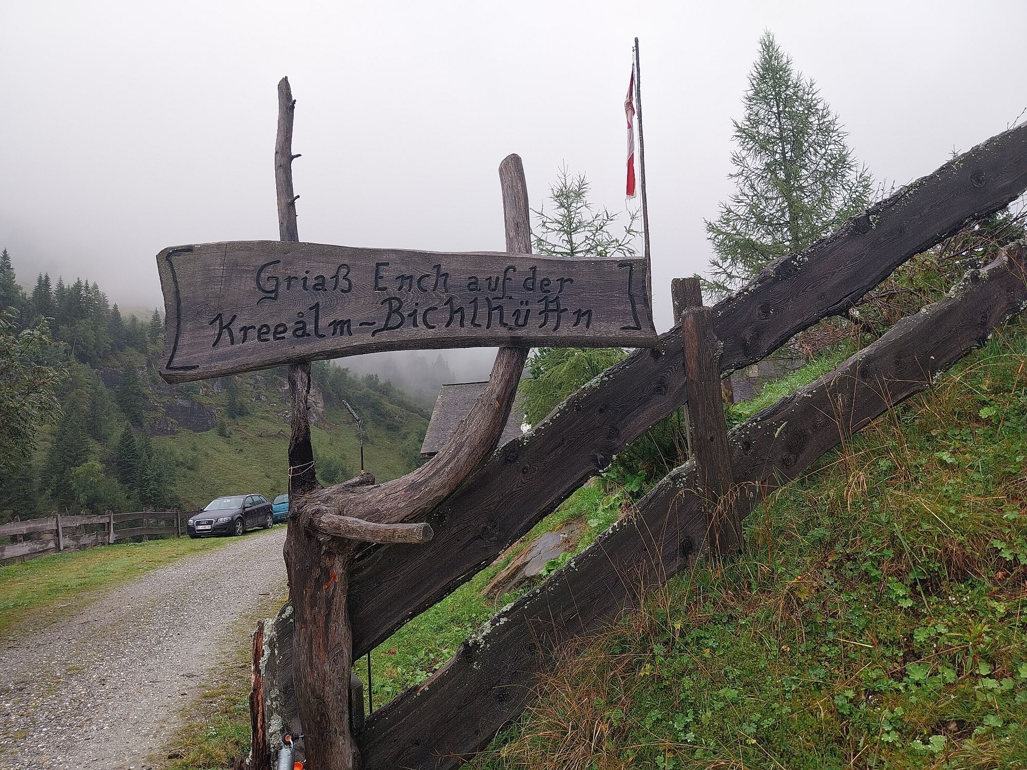
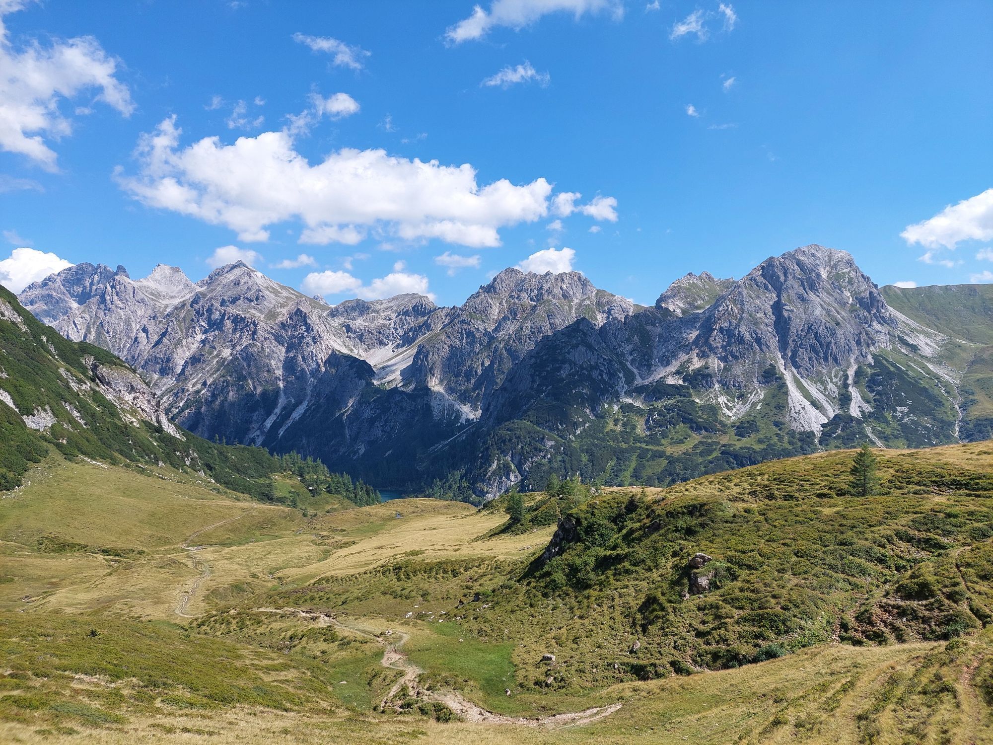
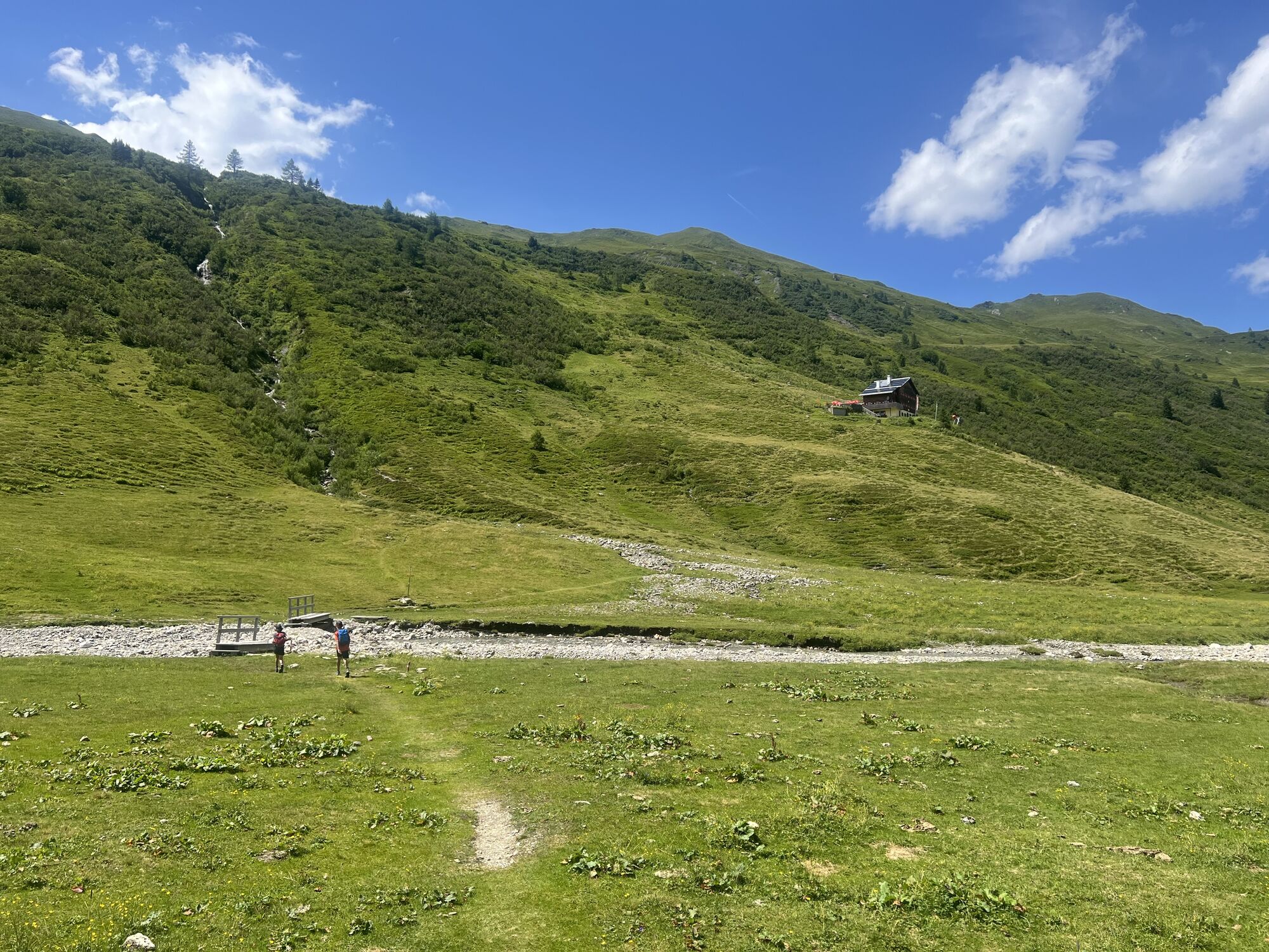
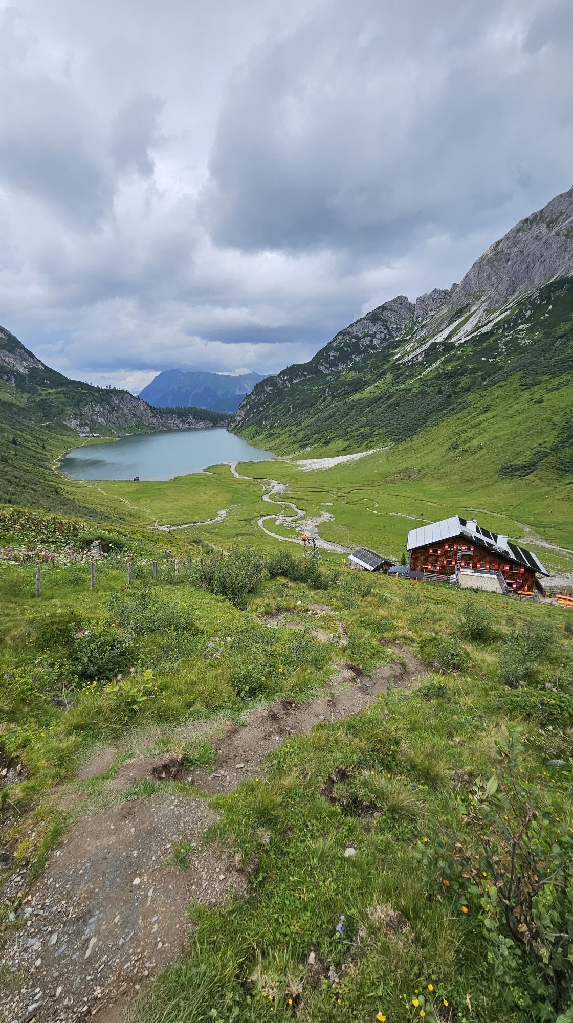
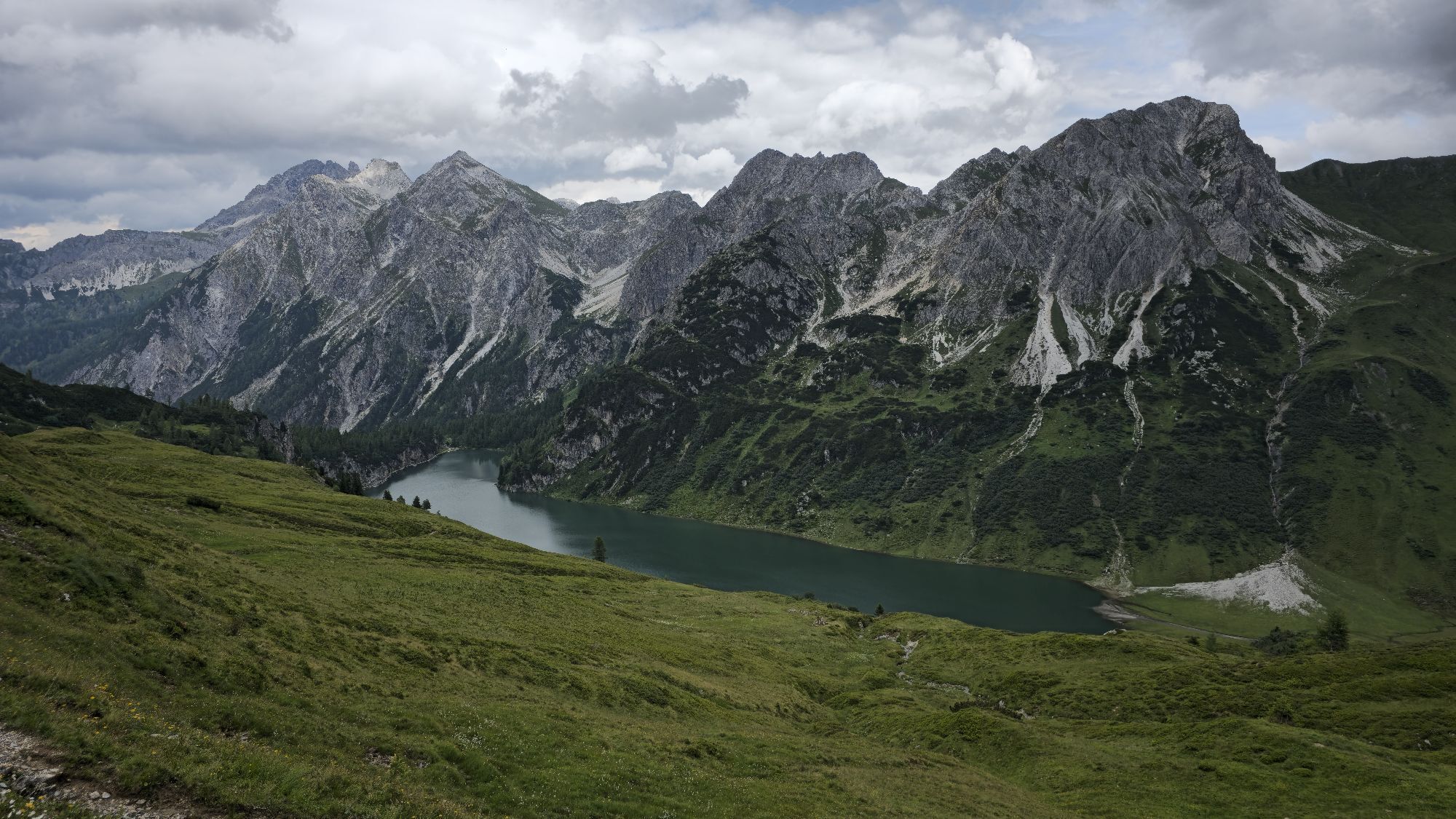
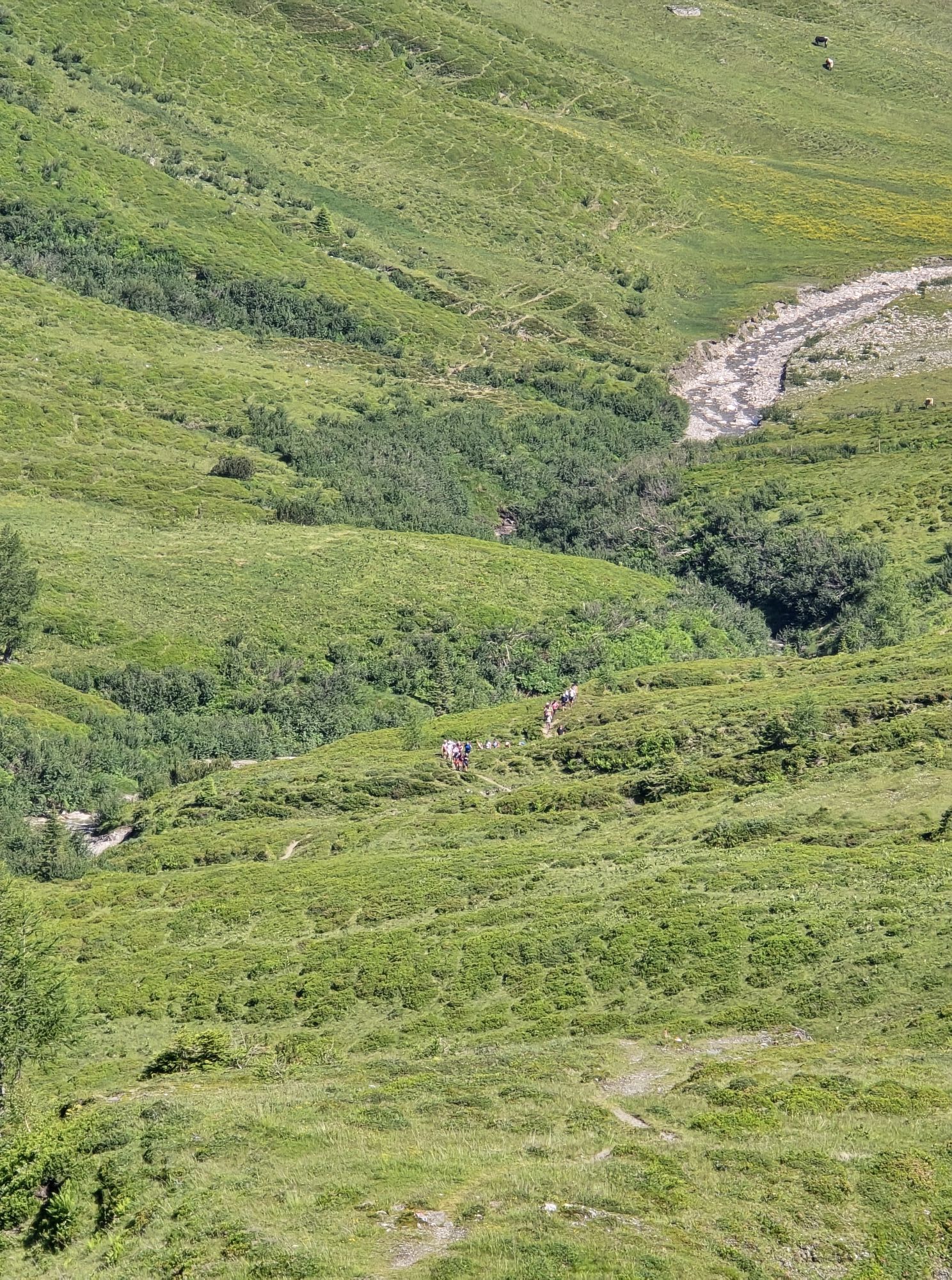
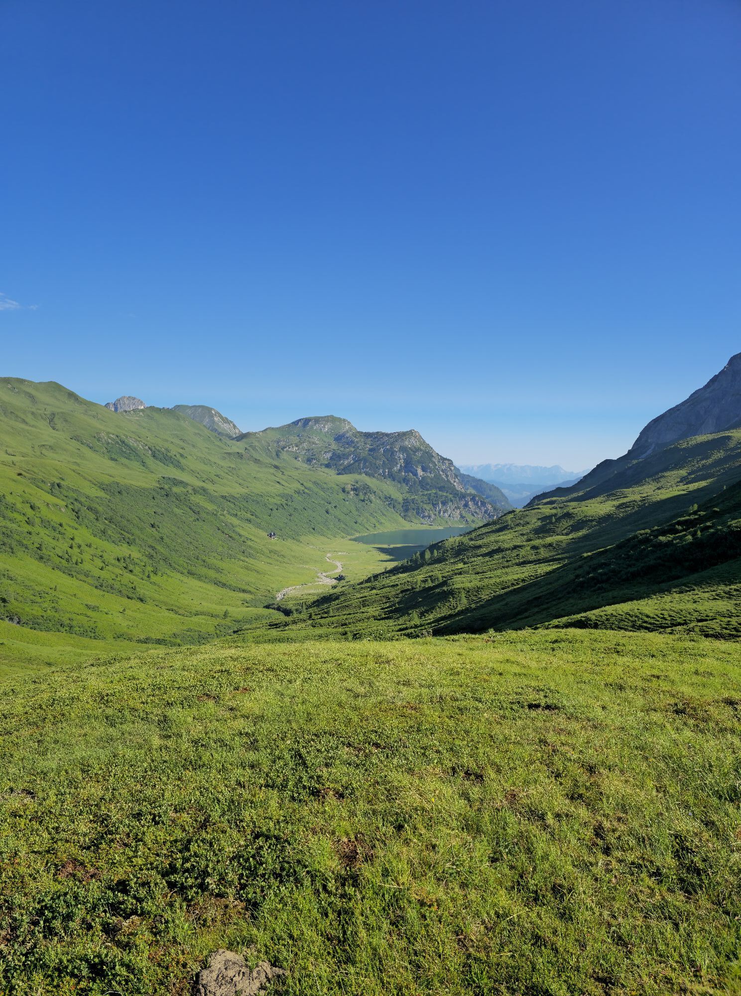
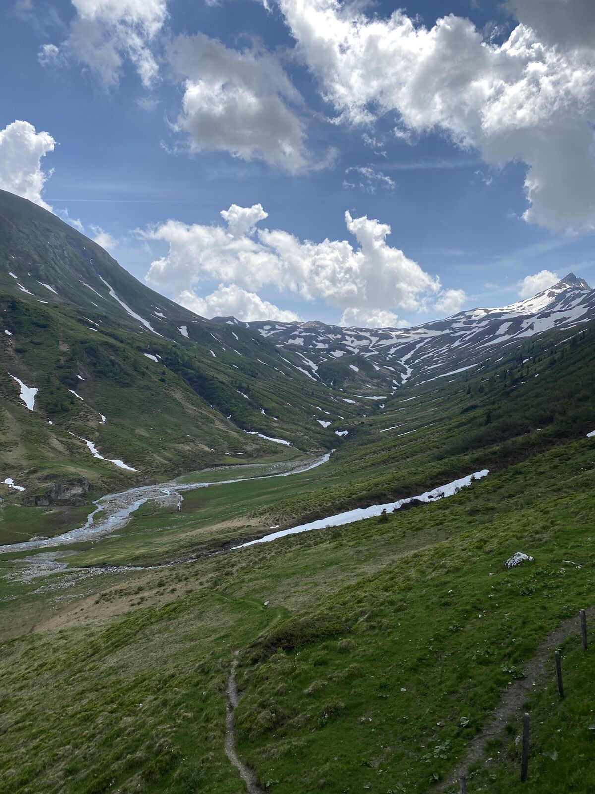
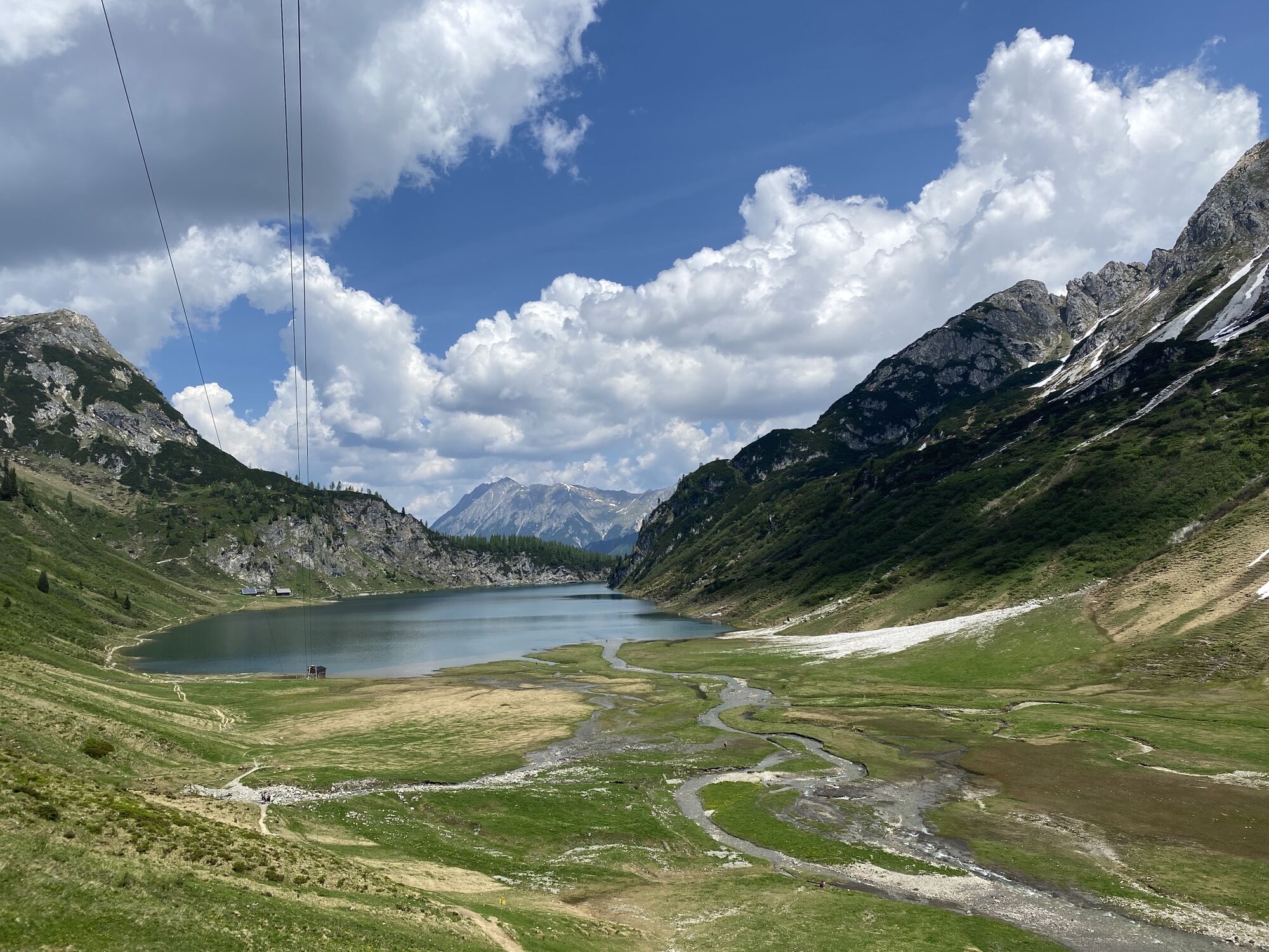
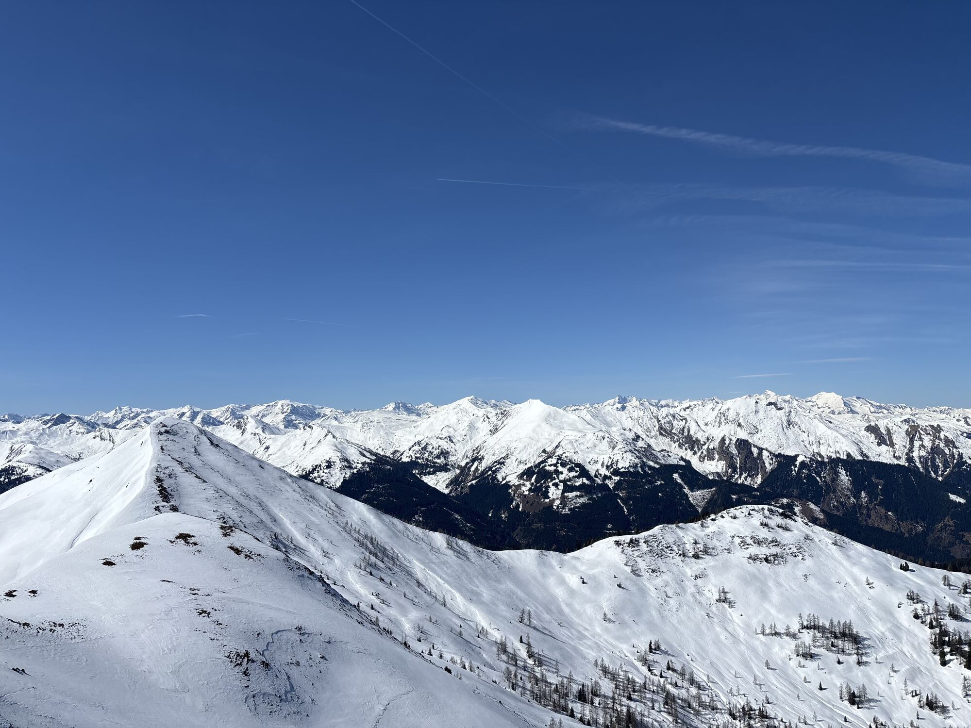
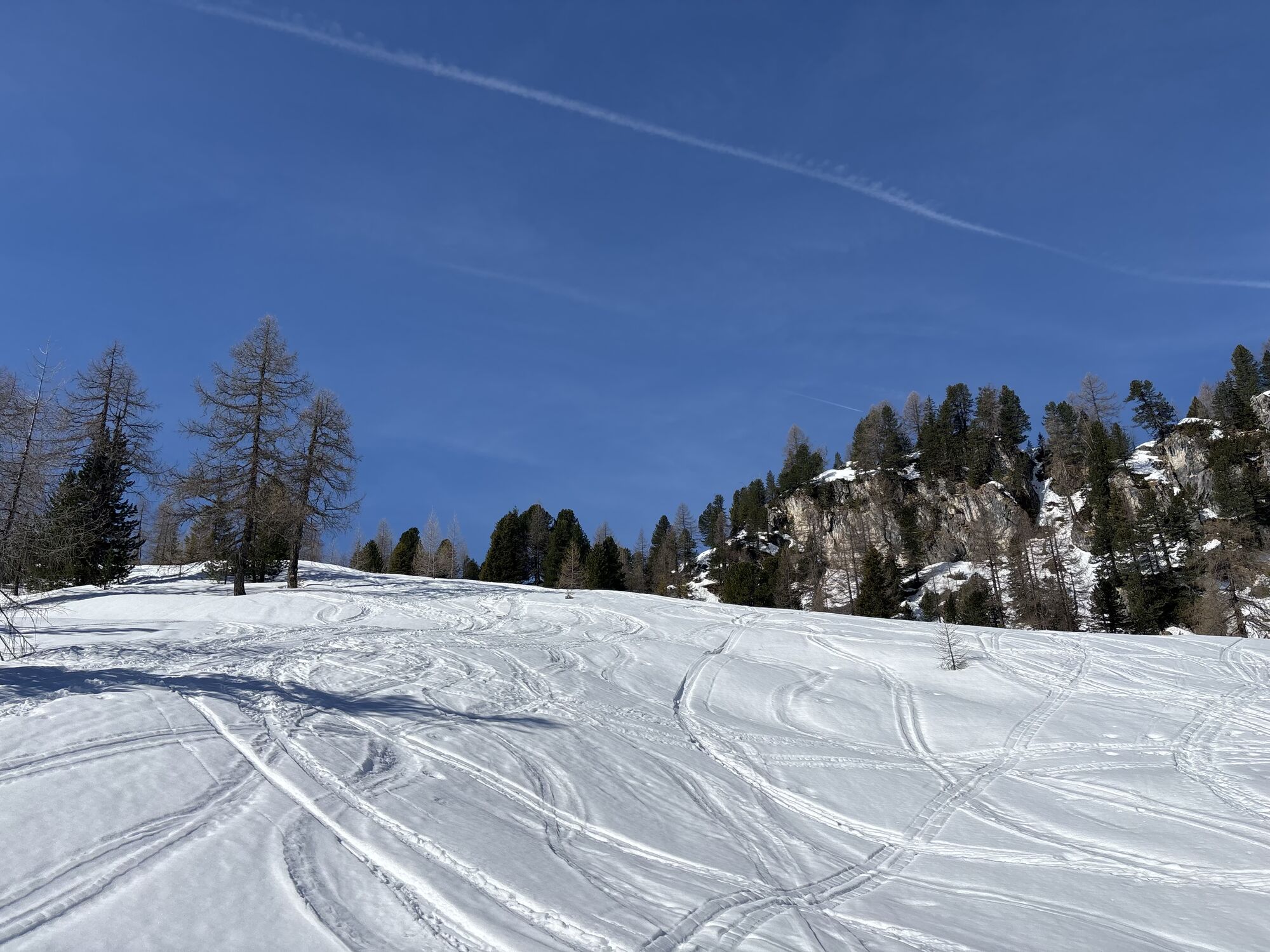
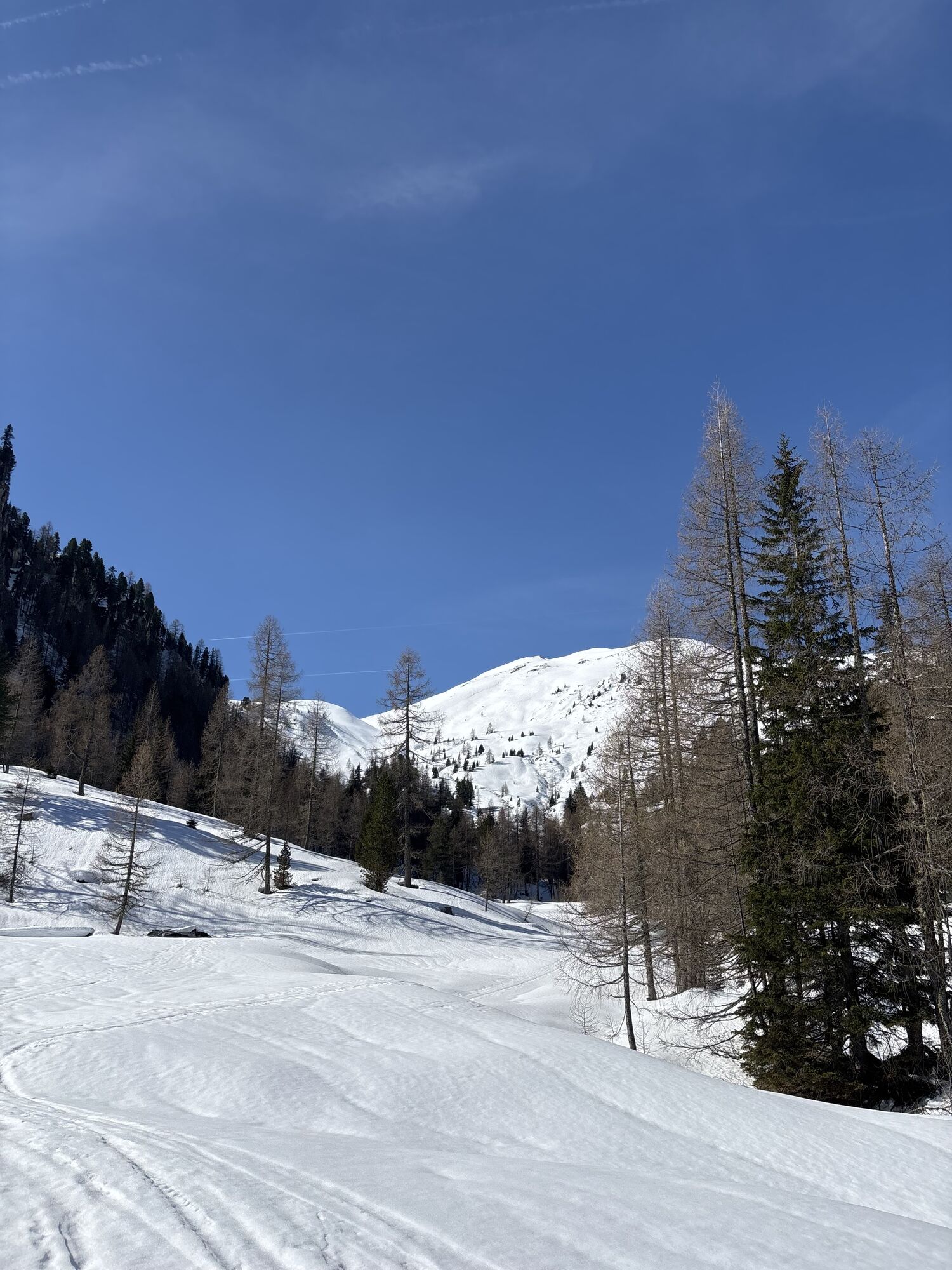
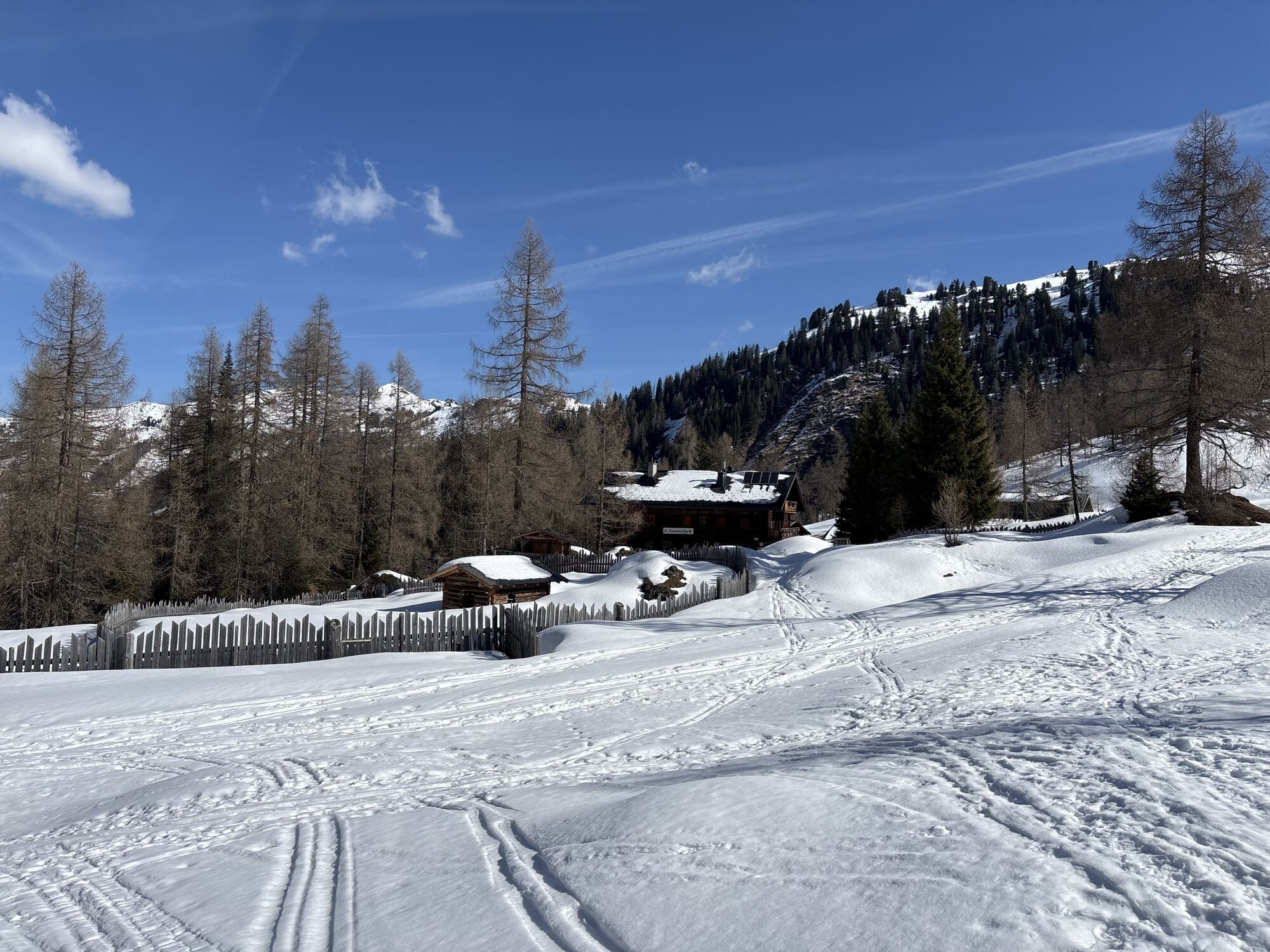
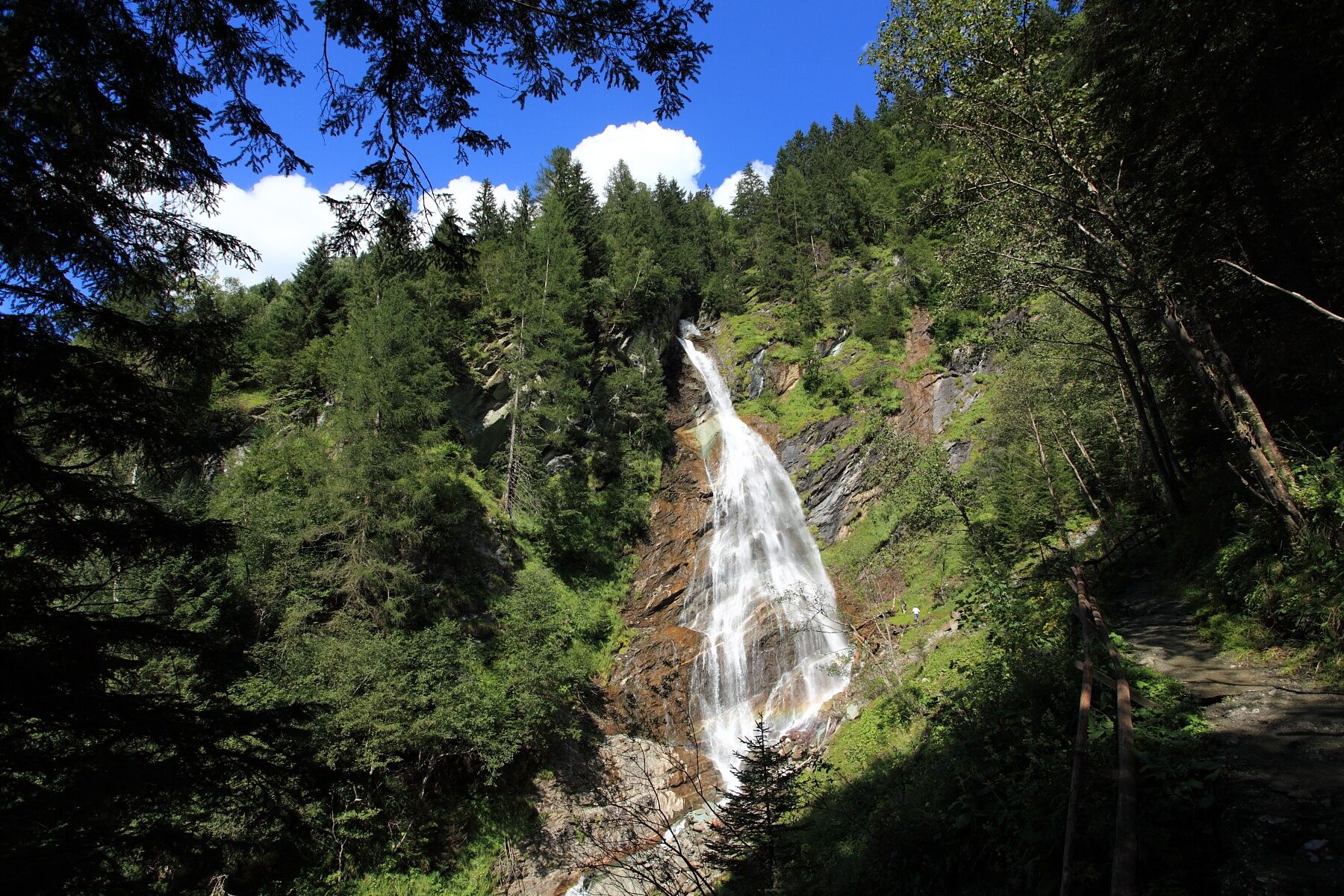
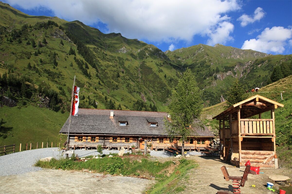
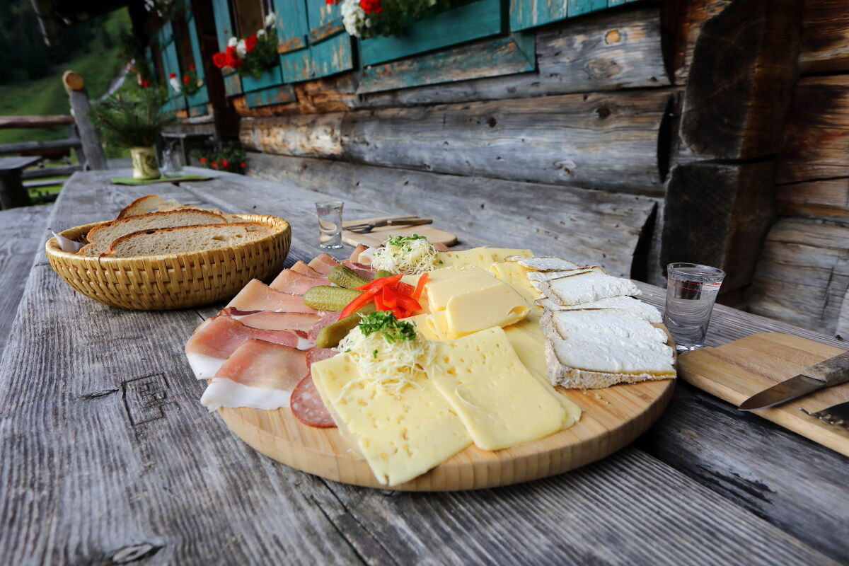
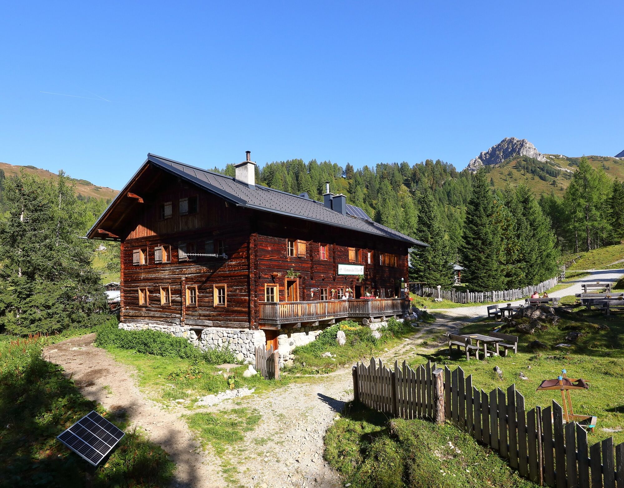
You pass the Stockham farm heading towards the Kreealms. At the beginning of the path to the Kreealms, a short detour to the Kreealm waterfall is worthwhile; it falls about 100 m down a rock face into the valley. On the ascent, you can choose whether you prefer the forest road or shortcuts through the forest. Just before the alpine huts, you come to a small chapel. Two alpine huts await you at the Kreealm: the Kreealm-Kreehut is the lower one, the upper one is the Kreealm-Bichlhut. Both huts spoil you with delicacies from their own production (cheese, butter, bread, bacon, or sausage). After a short break, it goes further upwards through a huge cirque to the Murtörl. Just below this notch, the Mur river springs. It is often very windy here, so don’t forget a jacket. The high-level path continues to the Nebelkarscharte and the Waterfall notch. Through the whole Tappenkar, it finally goes to the Tappenkarsee. The Tappenkarsee hut is an Alpine Club hut offering overnight accommodation – please reserve beds in advance.
Day 2:
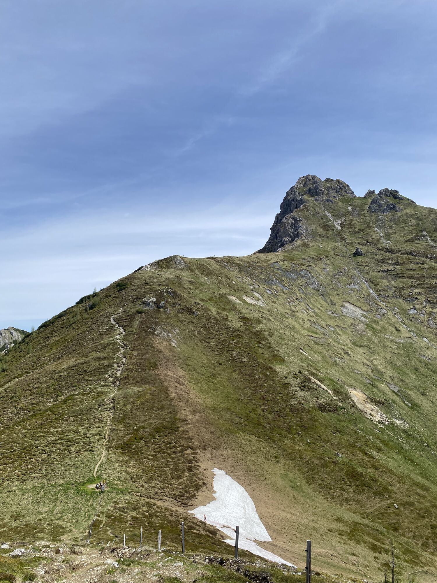
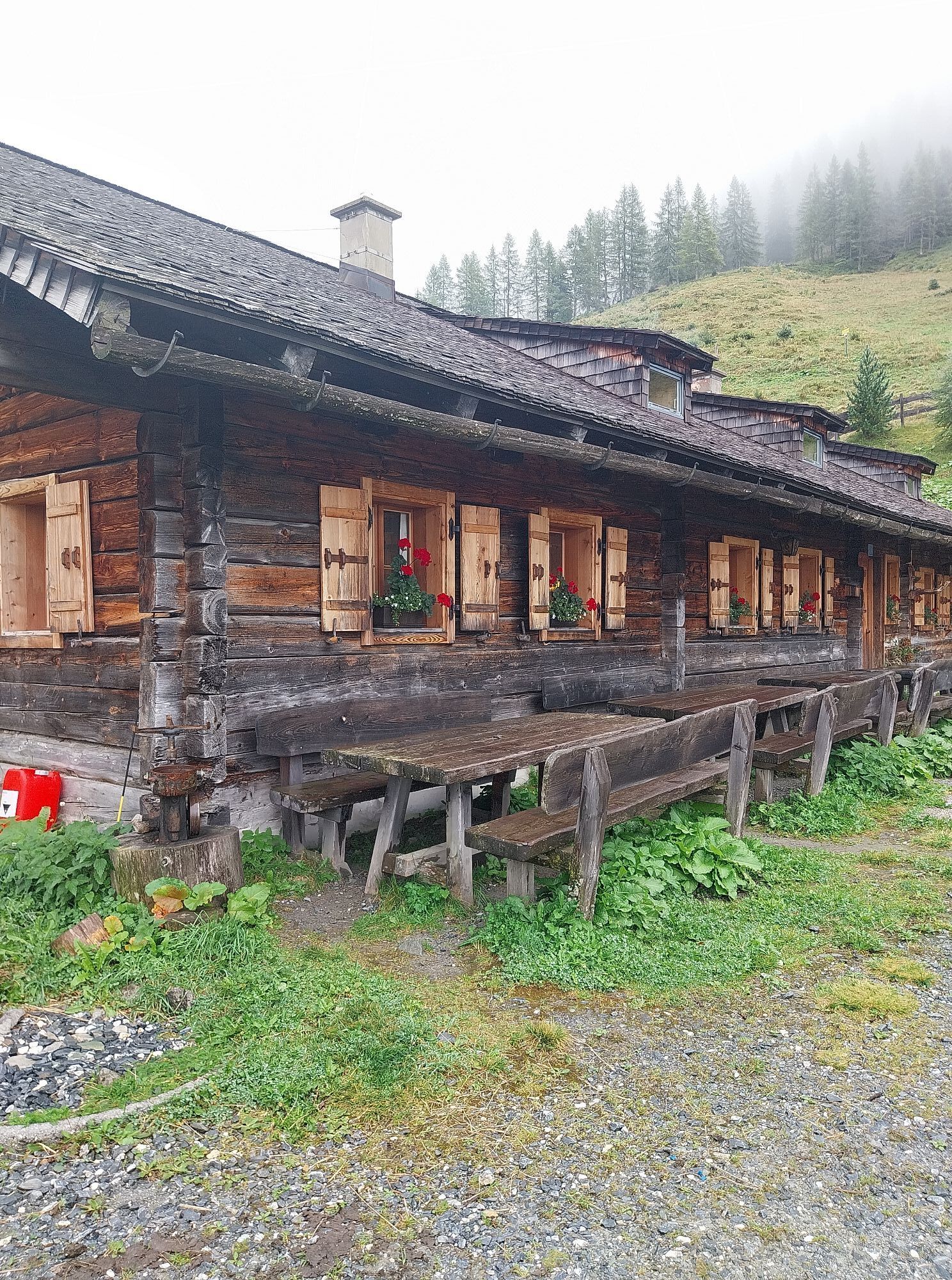
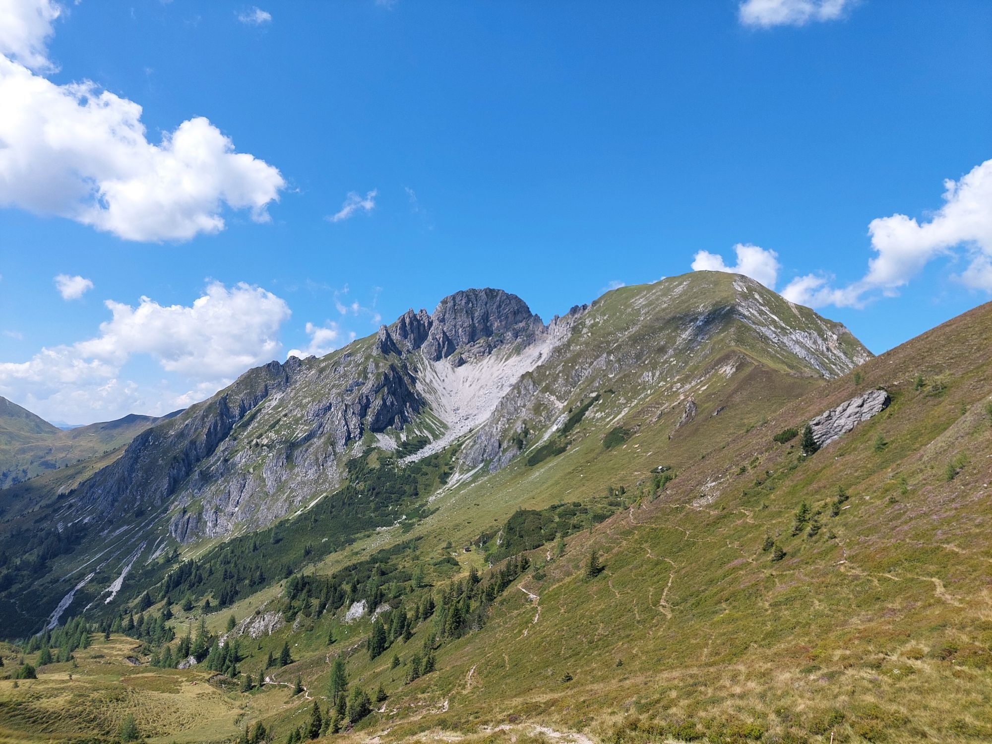
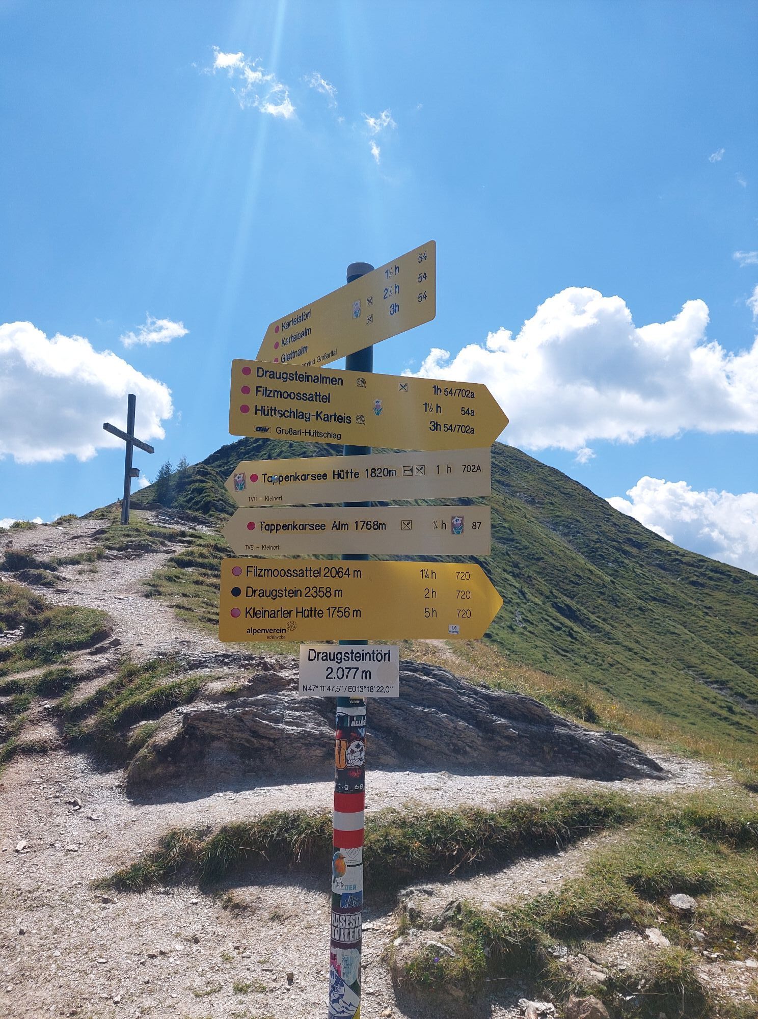
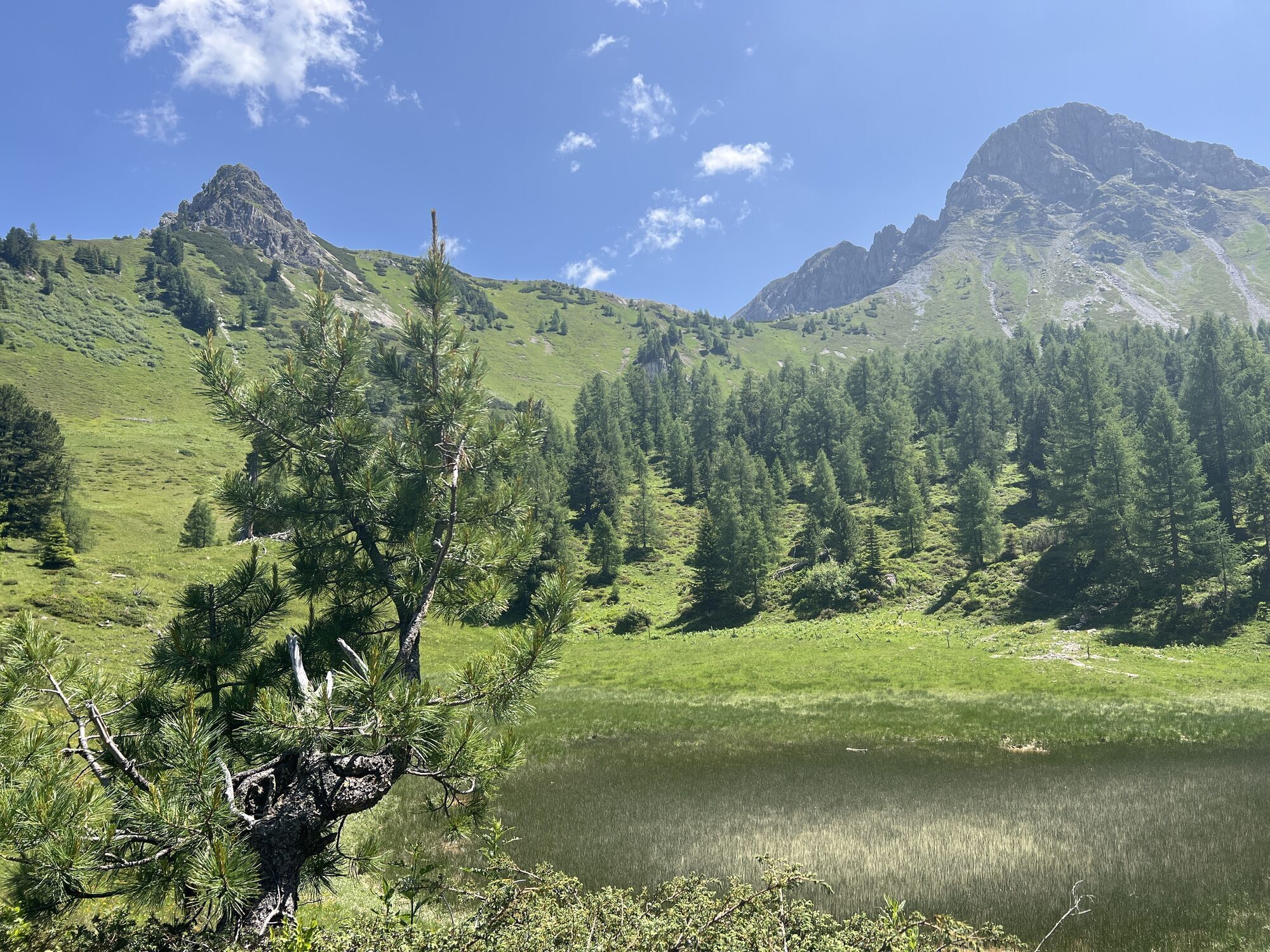
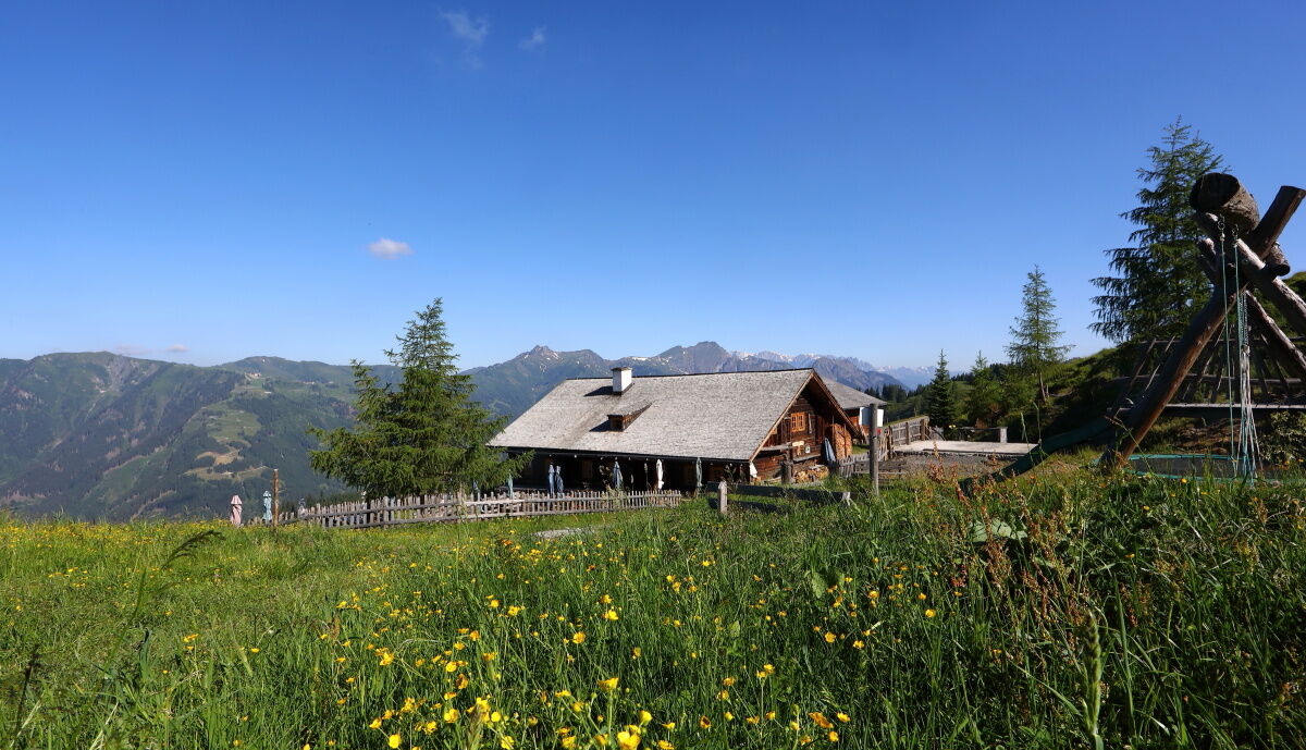
After a leisurely breakfast, the hike continues to the Draugsteintörl and the Filzmoossattel. Here grows a very beautiful gentian. This flower is the companion of the Salzburg Alpine Pasture Trail, which winds through the Pongau region in 25 stages. The section from Tappenkarsee to Filzmoosalm is part of it. About 50 m above the Filzmoossattel is the Filzmoos Höhe. A climb there is definitely worthwhile. If you turn around now, you see the majestic Draugstein overlooking the Ellmautal. The descent is on a beautiful hiking path, past the stone pines typical for the rear Ellmautal. At the Filzmoosalm, you will again be spoiled with delicacies from their own production. After a hearty snack, it’s time for bed.
Day 3:
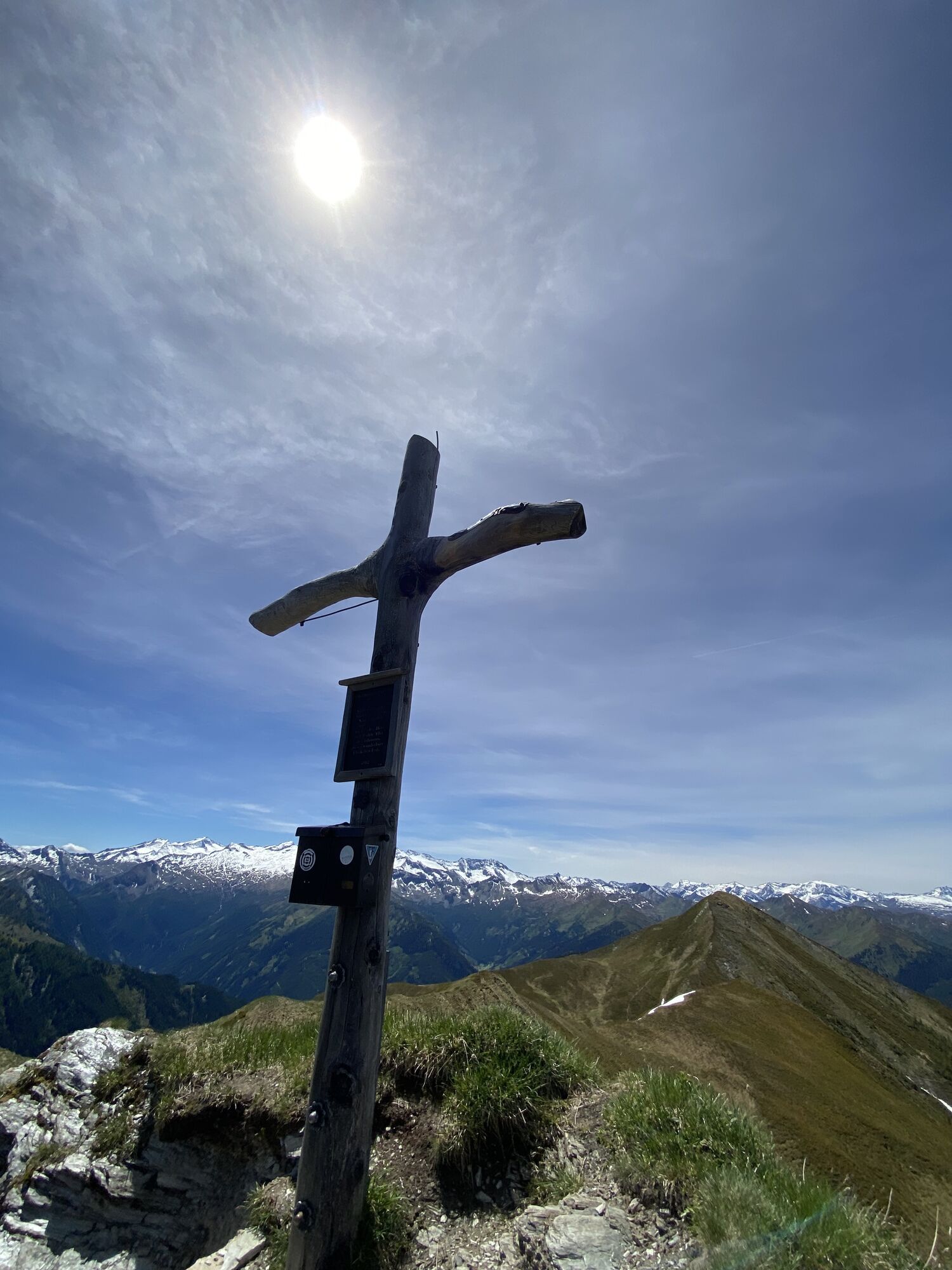
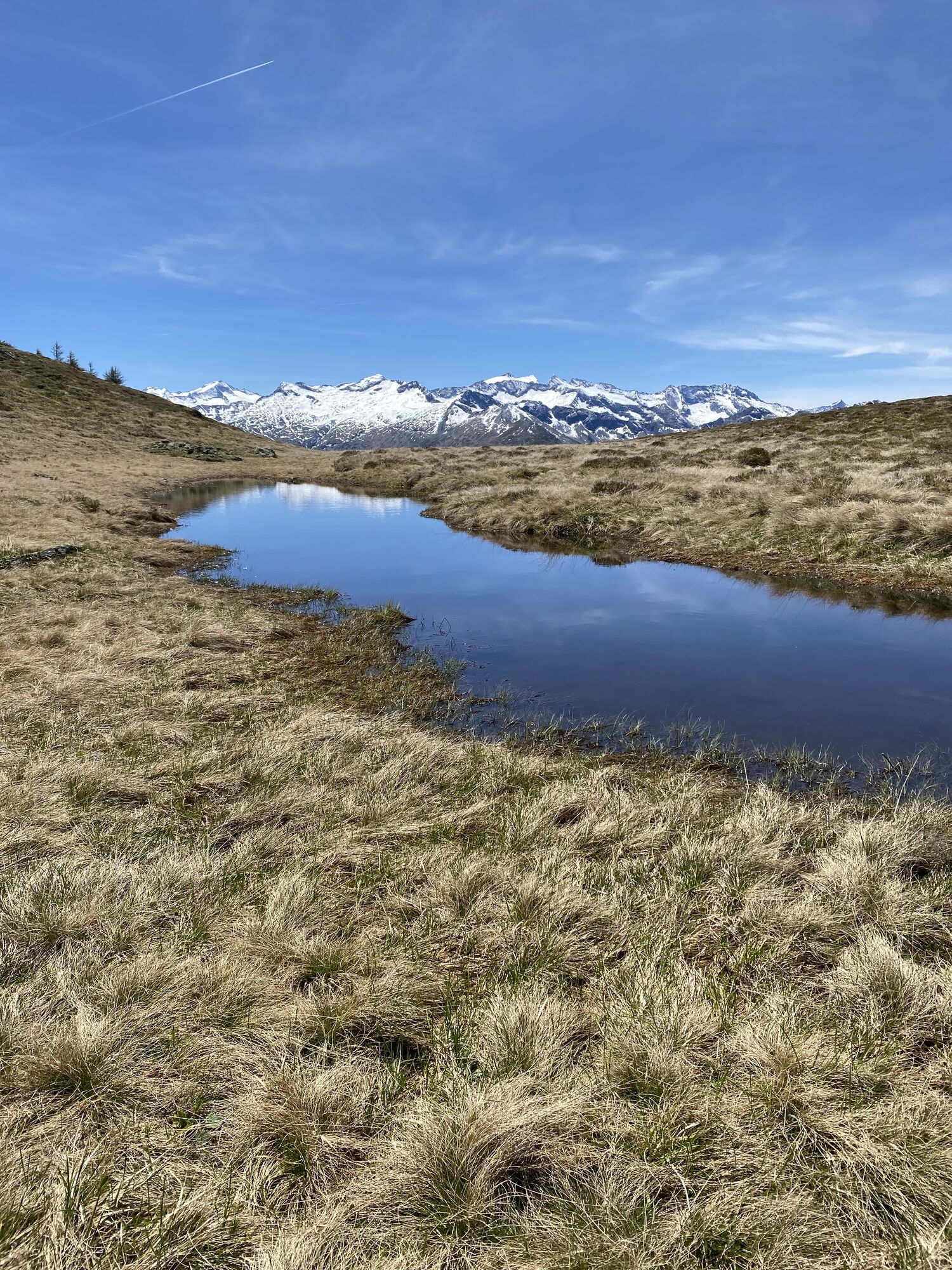
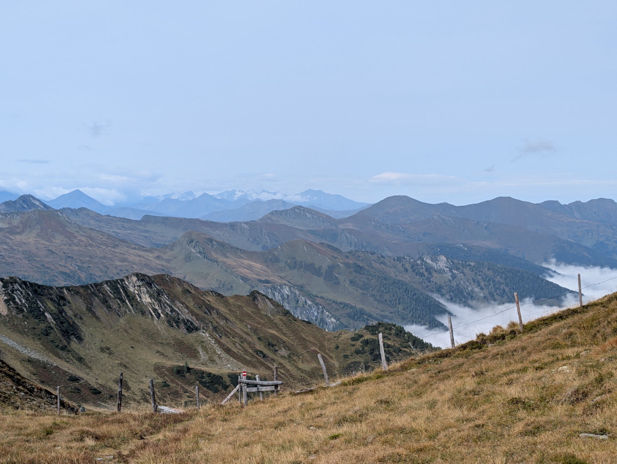
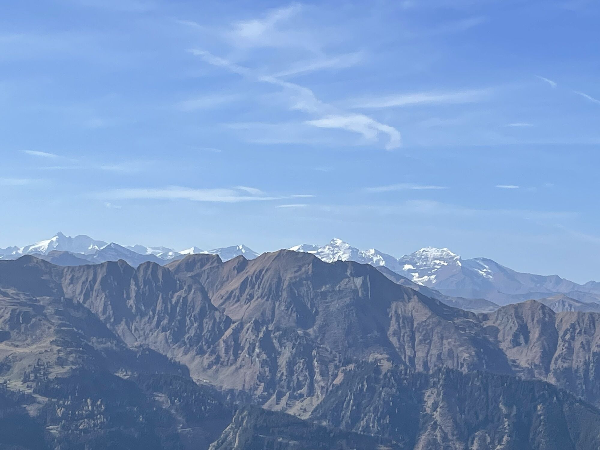
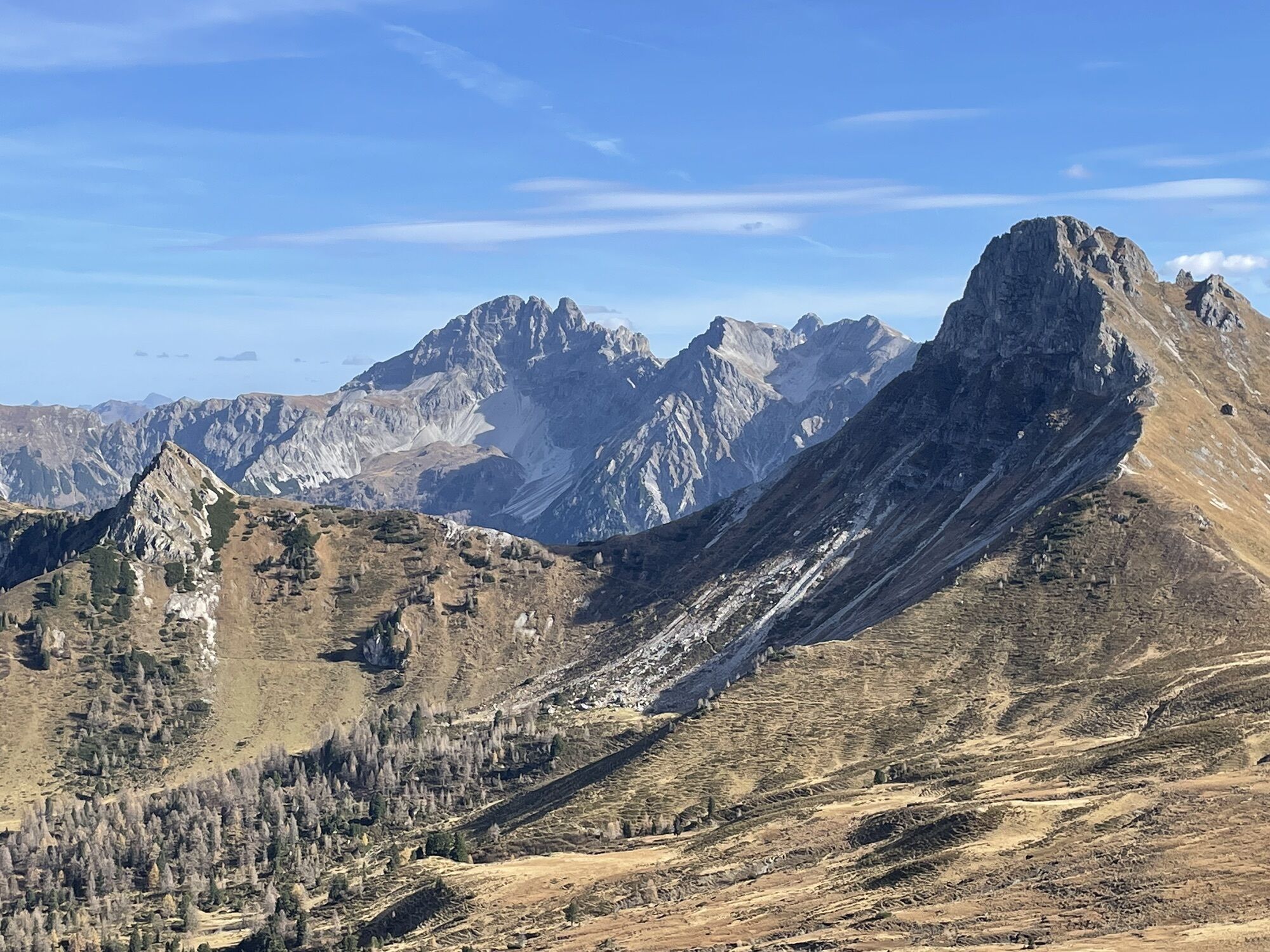
The next morning, you ascend the Filzmooshörndl – from here you have a wonderful view of the surrounding mountains. The path continues to the Stangersattel. You walk along the Ellmautal high-level path past many small ponds and black and lingonberry bushes.
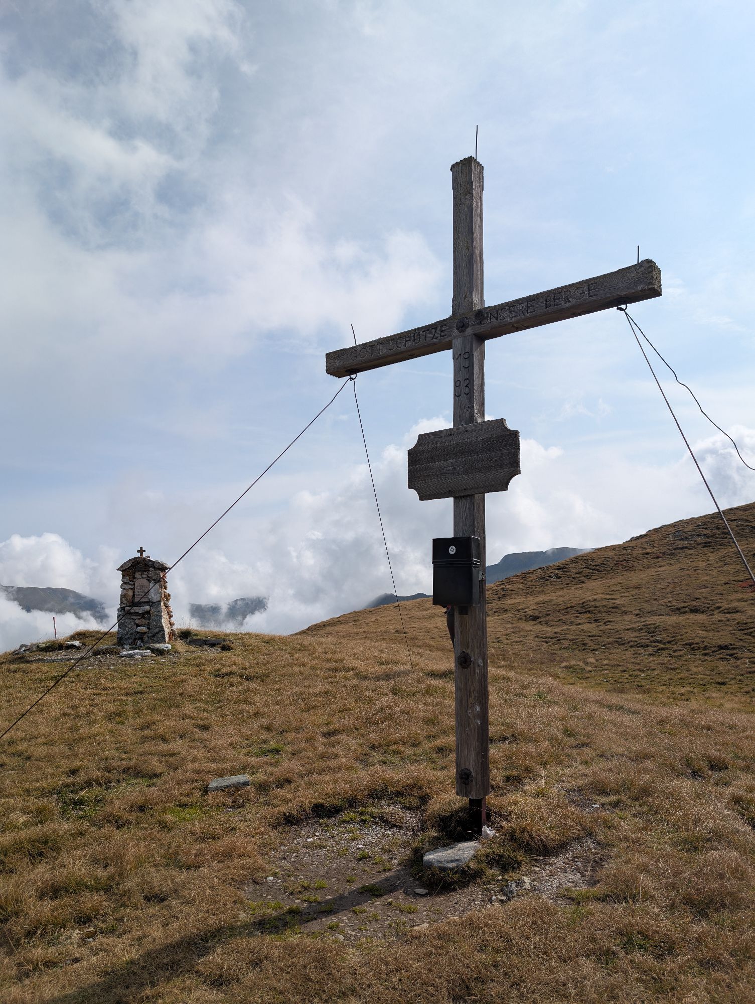
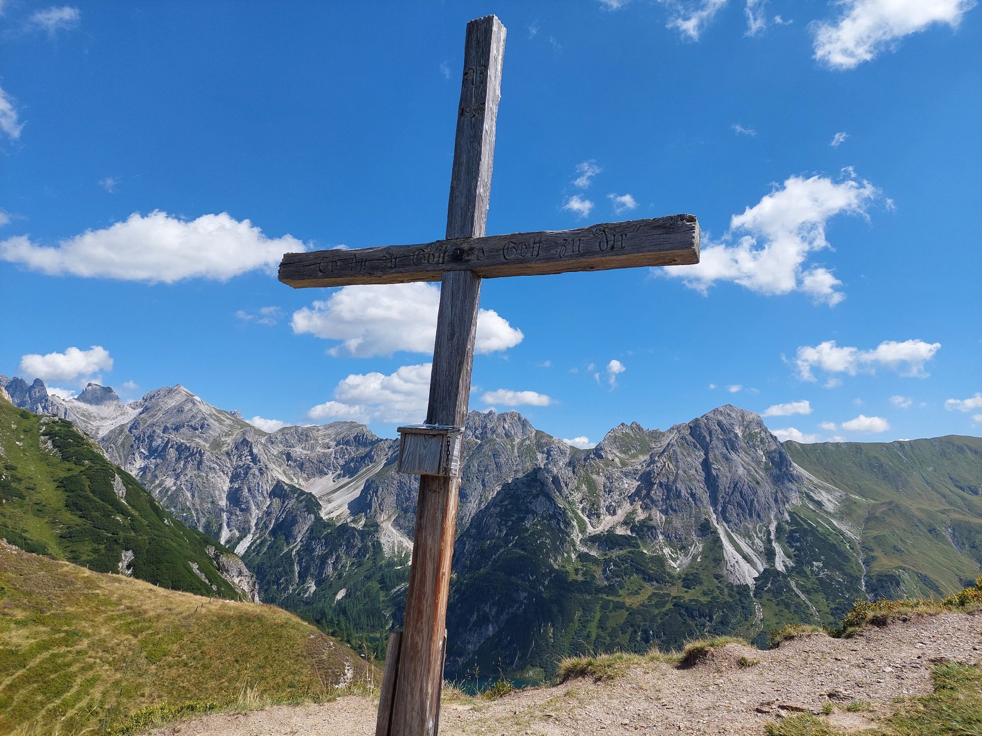
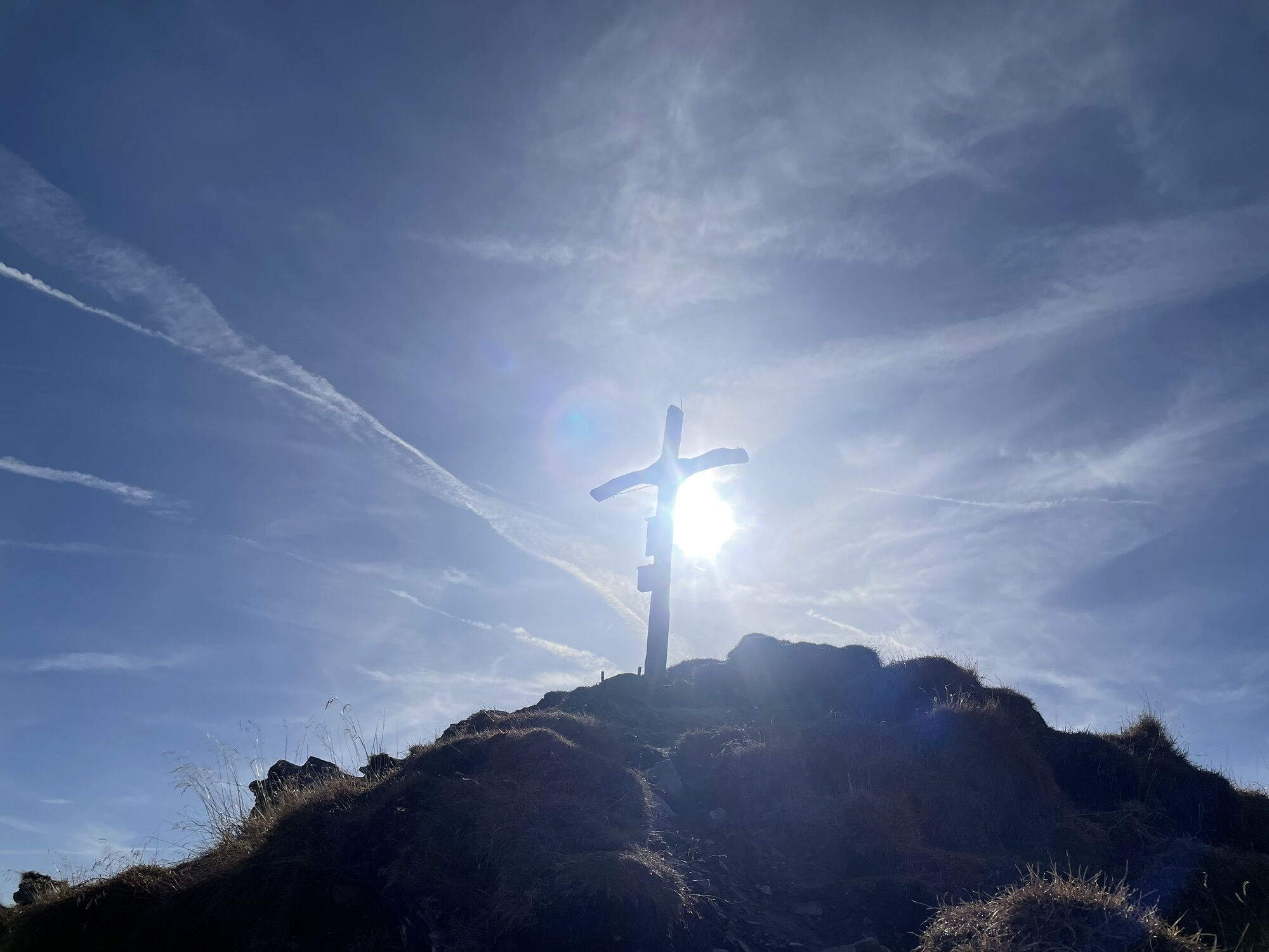
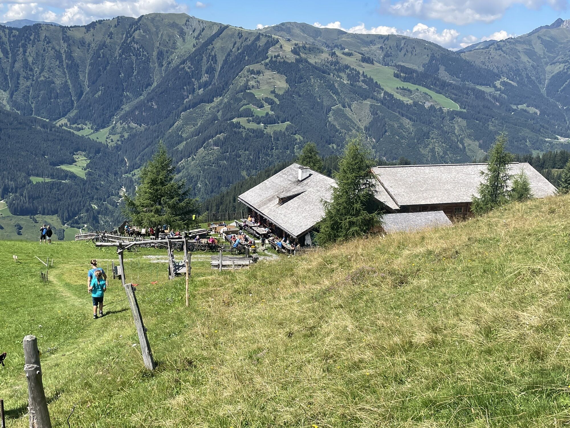
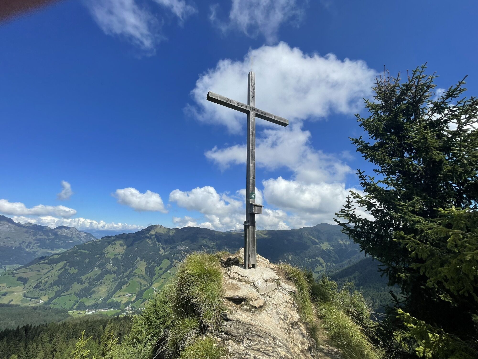
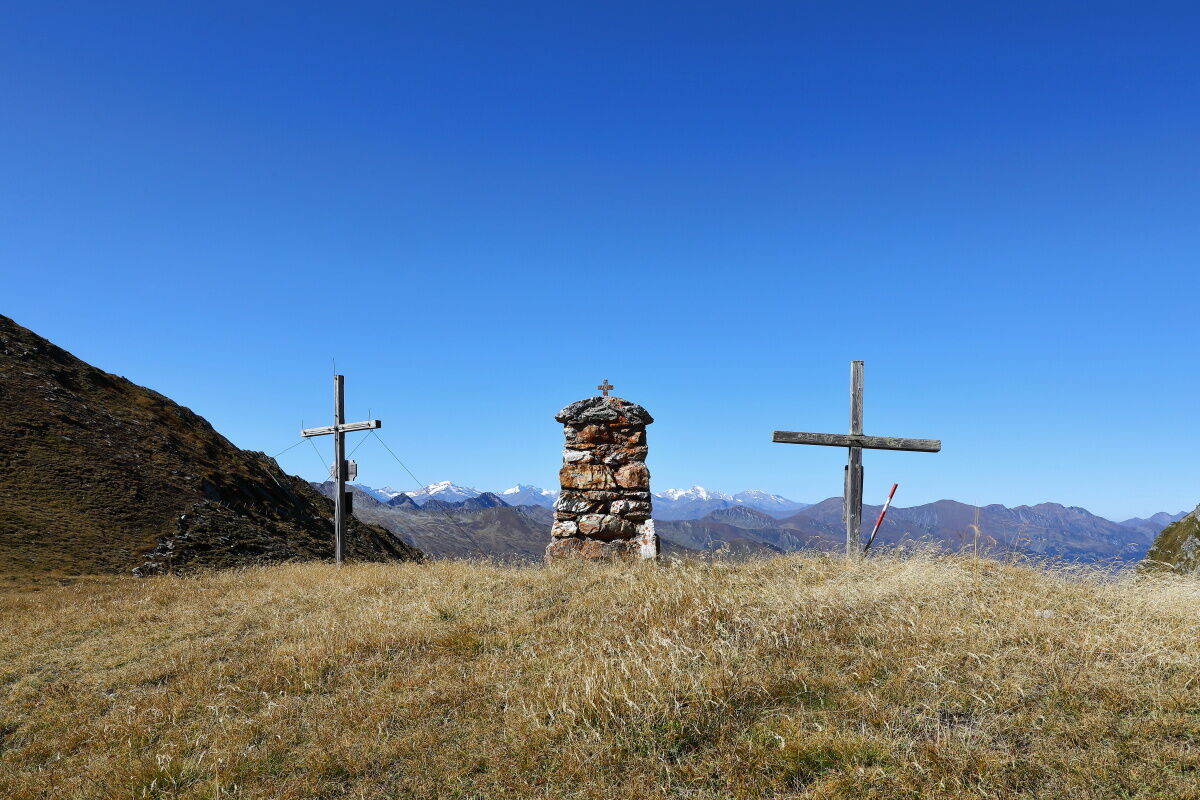
Then you reach the Remsteinkopf. The way leads down to the Bichlalm, where you have a particularly beautiful view over the whole Großarl valley. Just above the Bichlalm is a cross, where every year a mountain mass is celebrated. Next to the hut is a bench. For hungry hikers, there is a delicious snack at the Bichlalm. Hours can easily slip by without really noticing. Often the herdsman (= alpine dairy farmer) plays his harmonica. After the rest, the path leads first over a short section along the farm road to the entrance to the "Himmelsleiter". Stop, now you must turn around once more briefly and enjoy the panorama!
From now on you have two options:
Option 1: You walk the farm road to the Hotel Lammwirt and take the Postbus or car back to Großarl.
Option 2: The slightly steeper option leads over the "Himmelsleiter." This path mostly leads through the forest. At the Finsterwald fork, you again have the chance to drive from the Finsterwald farm by car or hiking taxi to the valley or continue hiking, passing the Grafenalm (not managed) as well as the Wandlehenalm (not managed) until you finally reach the Europatisch (= monument of the old scout guild). The hike continues along the shady side path to the parish church in Großarl. In front of you, the view of Großarl opens up from a completely different side. Along the paved path you reach the town center of Großarl.


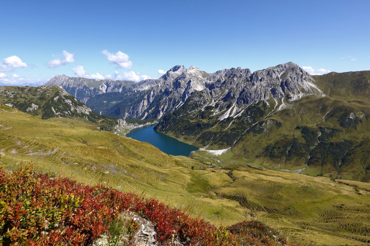
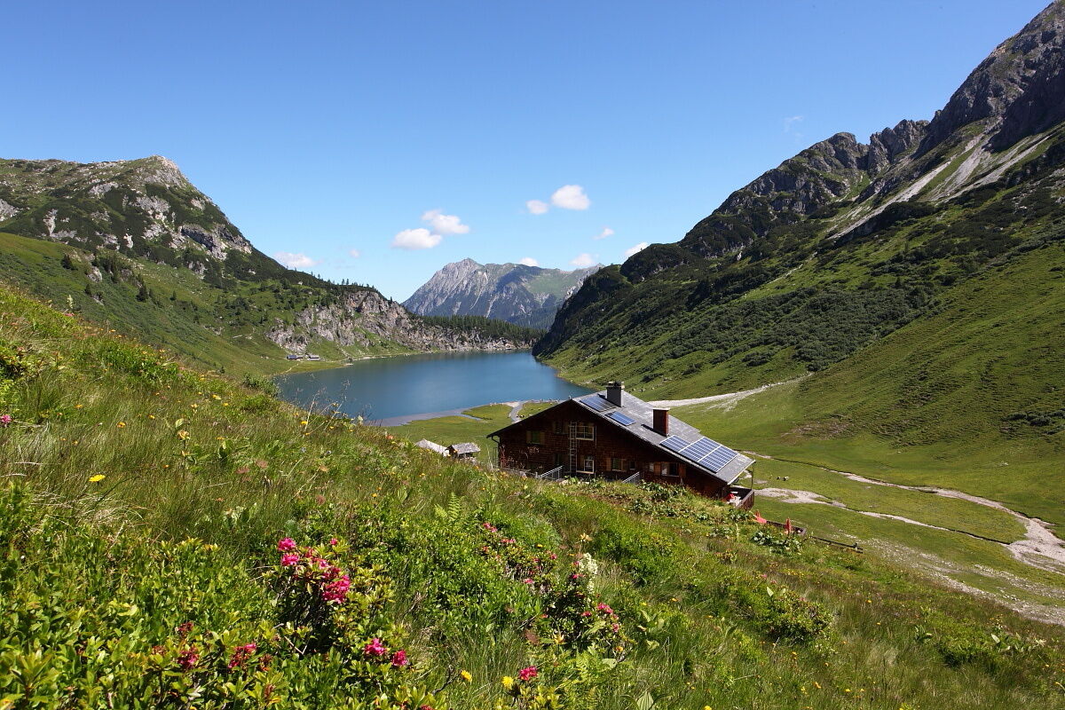


Hike from the Hüttschlag valley end parking lot – past the Stockham farm – after the first bridge turn left. First steep ascent on path no. 724, 51 in switchbacks up to a small chapel (alternative: ascent along the forest road) – from here a consistently gentle ascent to the two Kreealms (Kreehütte, 1,483 m and Bichlhütte, 1,570 m -approx. 1 1/2 hours). From here further uphill through the wide alpine pasture area of the Kreealm – crossing a ditch – ascent continuing on the marked path (no. 724, 51) on the left mountainside to the Murtörl, 2,260 m (approx. 2 hours). On the high-level path no. 702 heading north to the Nebelkarscharte, 2,453 m (possibly ascent Nebelkareck, 2,535 m), further to the Waterfall notch, 2,183 m (approx. 2 hours) towards Tappenkar. Stay on path no. 702 to the Tappenkarsee hut, 1,820 m (approx. 2 hours) – overnight at the Tappenkarsee hut. Total walking time:approx. 7 1/2 hours
Day 2:
Ascent from the Tappenkarsee hut on path no. 702A to the Draugsteintörl, 2,077 m (approx. 1 hour), descent on path no. 54 towards Draugstein pastures. Shortly before the two huts, a path branches off to the right (path no. 54A) leading up to the Filzmoossattel, 2,062 m (approx. 2 hours from Draugsteintörl). Descent on path no. 57, 720 to the Filzmoosalm, 1,710 m (approx. 1 1/4 hours) – overnight at the Filzmoosalm. Total walking time:approx. 4 1/4 hours
Day 3:
Ascent from the Filzmoosalm, 1,710 m on path 57A to the Filzmooshörndl, 2,189 m (approx. 2 hours). From Filzmooshörndl downhill to the Stangersattel and along the "Ellmautal high-level path" (path no. 64) to the Remsteinkopf, 1,945 m (approx. 1 1/2 hours). Descent via path no. 56 to the Bichlalm, 1,731 m(approx. 1/2 hour). Downhill on the path "Himmelsleiter" to the Finsterwald farm (path no. 56) or on the forest road (path no. 56A) to Hotel Lammwirt (each approx. 1 1/2 to 2 hours). From the respective farms there is the possibility to drive by car or hiking taxi. Or from the Finsterwald farm via the Grafenalm (not managed) and the Europatisch into the town center of Großarl (approx. 1 hour). Total walking time:approx. 6 1/2 hours
Ano
Mountain boots with profile sole, some fruit, drinks (refillable bottles), wind and rain protection, toiletries, warm clothing and change of clothes, flashlight, mini first-aid kit, hiking map, sunscreen, chocolate or muesli bars, …
Vous ne passerez pas par des cabanes pendant une longue période. Emportez donc suffisamment à boire et à manger – un minimum de condition physique est requis.
Drive by car or take the Postbus line no. 540 to Hüttschlag and further into the Hüttschlag valley end.
Hüttschlag valley end parking lot
T3
Sunrises at the Tappenkarsee are very impressive – so get up early to not miss this spectacle.
Webové kamery z prohlídky
Kreuzkogel
Fulseck
Hotel Lammwirt im Großarltal/Ellmautal
Dorfgastein - Spiegelsee
Bergstation 6er Sesselbahn Harbach
Ellmautal - Palfenhof
Kühhagerbahn Bergstation
Großarl - Ort
Dorfgastein - Spiegelsee
Dorfgastein - Spiegelsee
Dorfgastein - Spiegelsee
Dorfgastein - Spiegelsee
Großarl - Loosbühelalm
Großarl - Kieserlbahn
Grossarl - Hotel Gasthof Schützenhof
Großarl - Hotel Kristall Übungslift
Bergstation Kieserl
Fulseck
Fulseck
Fulseck
Fulseck
Fulseck
Fulseck
Fulseck
Tappenkarseehütte
Hüttschlag - Grossarltal
Großarl
Oblíbené prohlídky v okolí
- 4,9
Großarl: Aualm - Liechtensteinkopf - Aukopf - Schuhflicker - Schuhflickersee
středníTuristika 5,84 km - 5,0
Großarl: Alpine pasture circuit in Ellmautal
středníTuristika 9,69 km - 4,1
Tappenkarsee Kleinarl
středníTuristika 9,11 km - 4,7
Großarl: Mooslehenalm – Niggeltalalm – Viehhausalm
středníTuristika 5,44 km - 4,9
Höhenweg vom Grünen Baum bis Bad Hofgastein
světloTuristika 7,92 km - 4,6
Mountain route from the Kötschachtal to the natural jewel Reedsee
středníTuristika 12,5 km - 4,3
"Elendrunde" Kleinelend Valley - Zwischenelendscharte - Großelend Valley
středníTuristika 21,9 km - 4,8
Hüttenkogel - Graukogel von der Bergstation
středníHorská turistika 4,68 km - 4,7
Kölnbreinspeicher bis Osnabrücker Hütte
světloTuristika 15,9 km - 4,6
Großarl: Saukaralm - Saukarkopf - Gerstreitalm
středníTuristika 9,39 km

Pěší turistika a stopování


Nenechte si ujít nabídky a inspiraci pro vaši příští dovolenou
Vaše e-mailová adresa byl přidán do poštovního seznamu.