


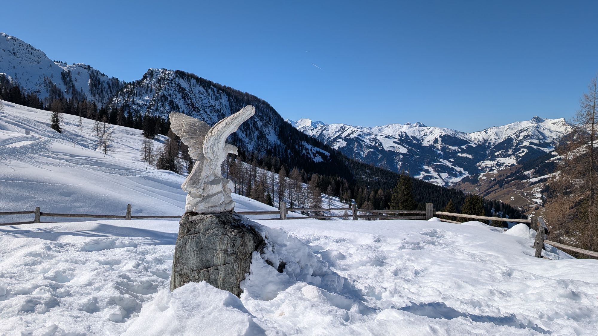
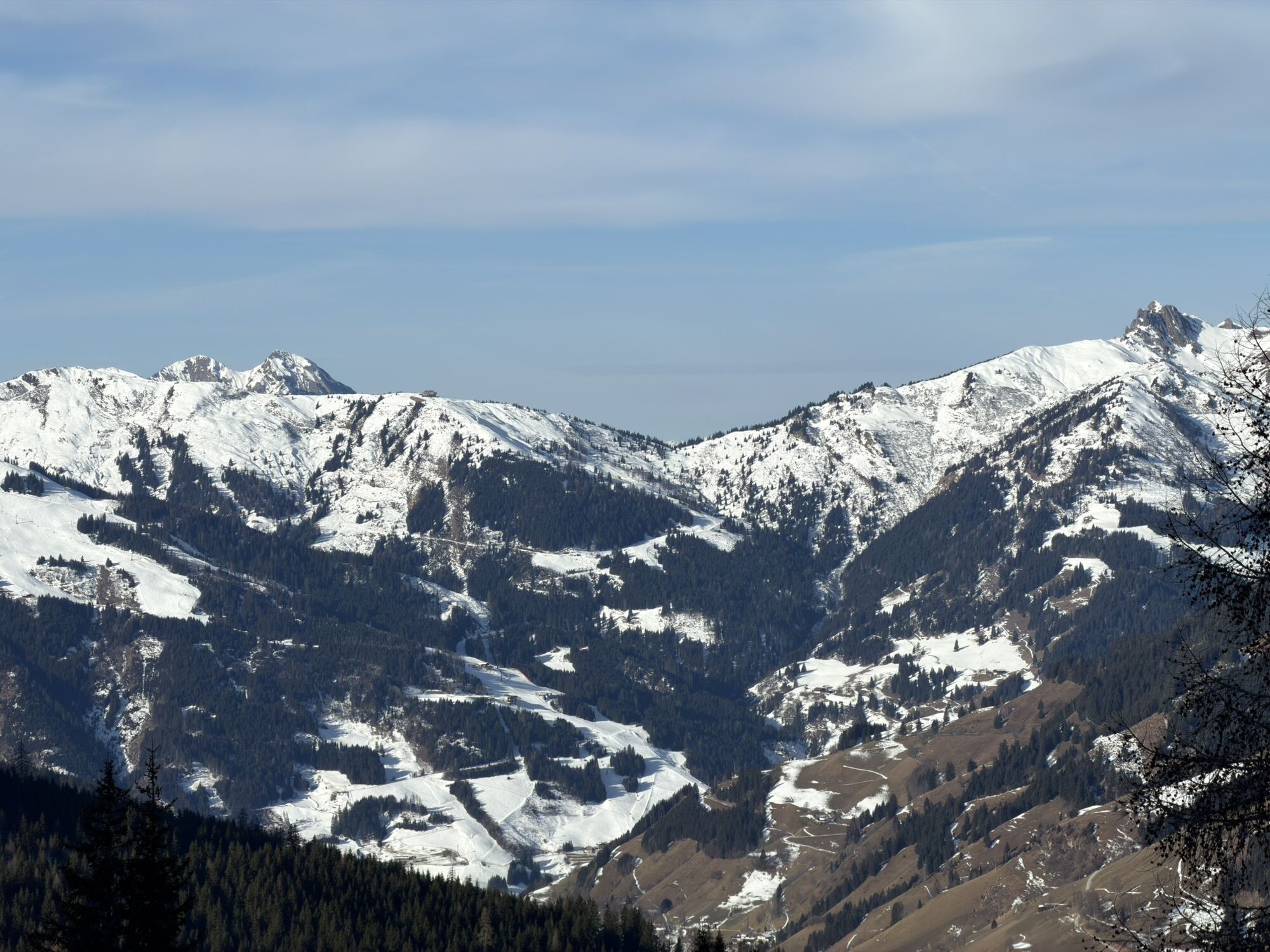
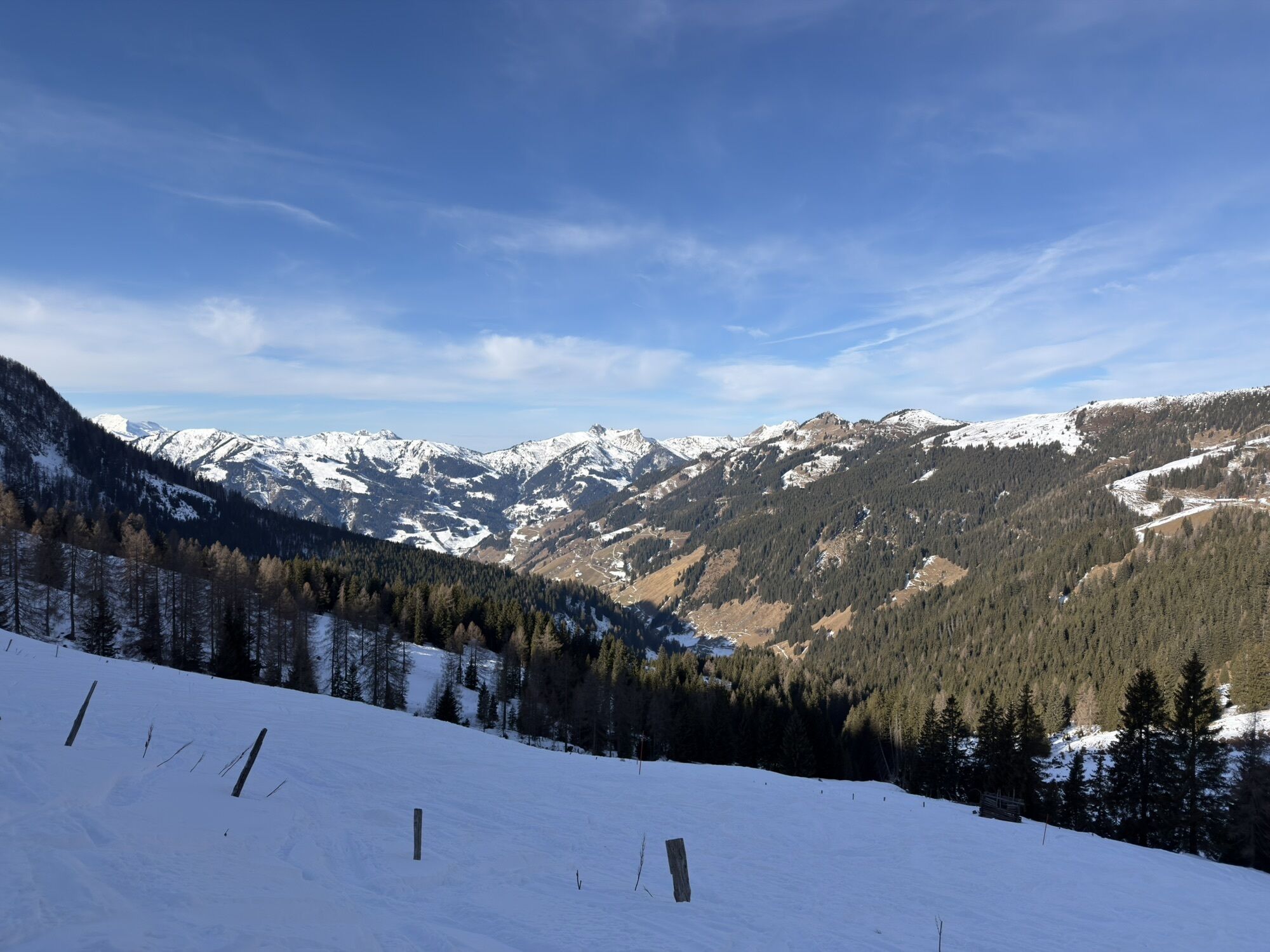
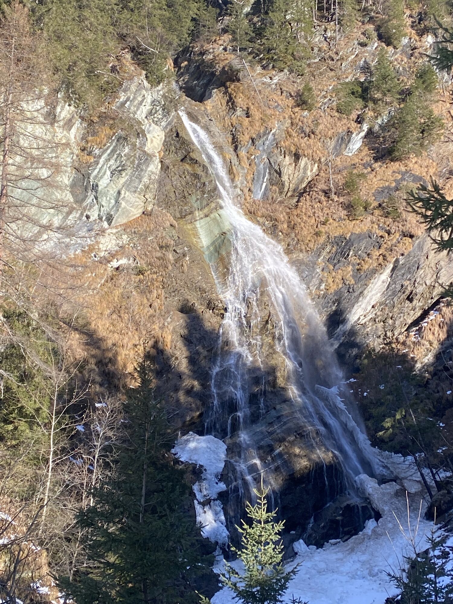
10-day hiking route through the Großarltal
Úroveň obtížnosti: T4


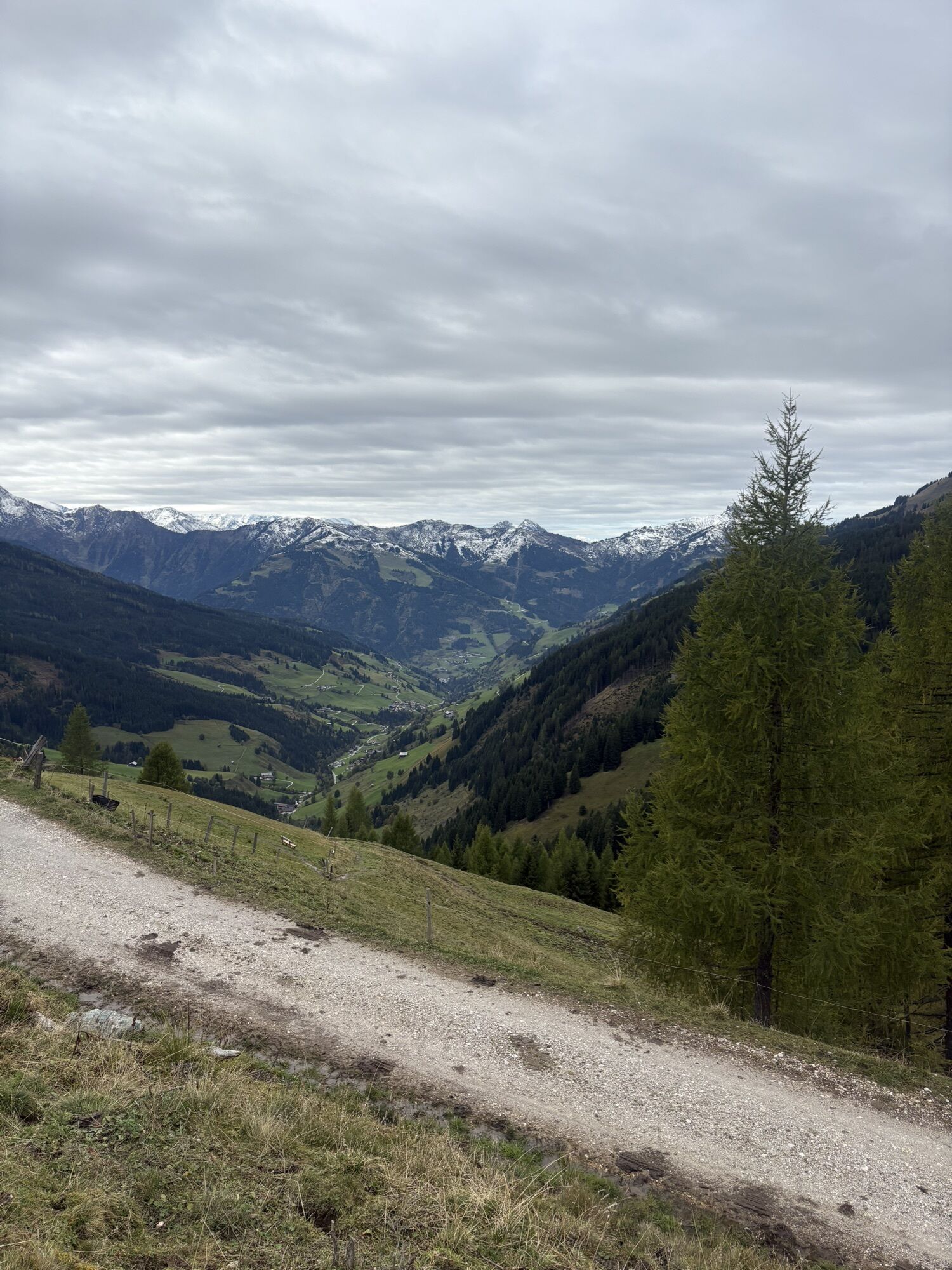


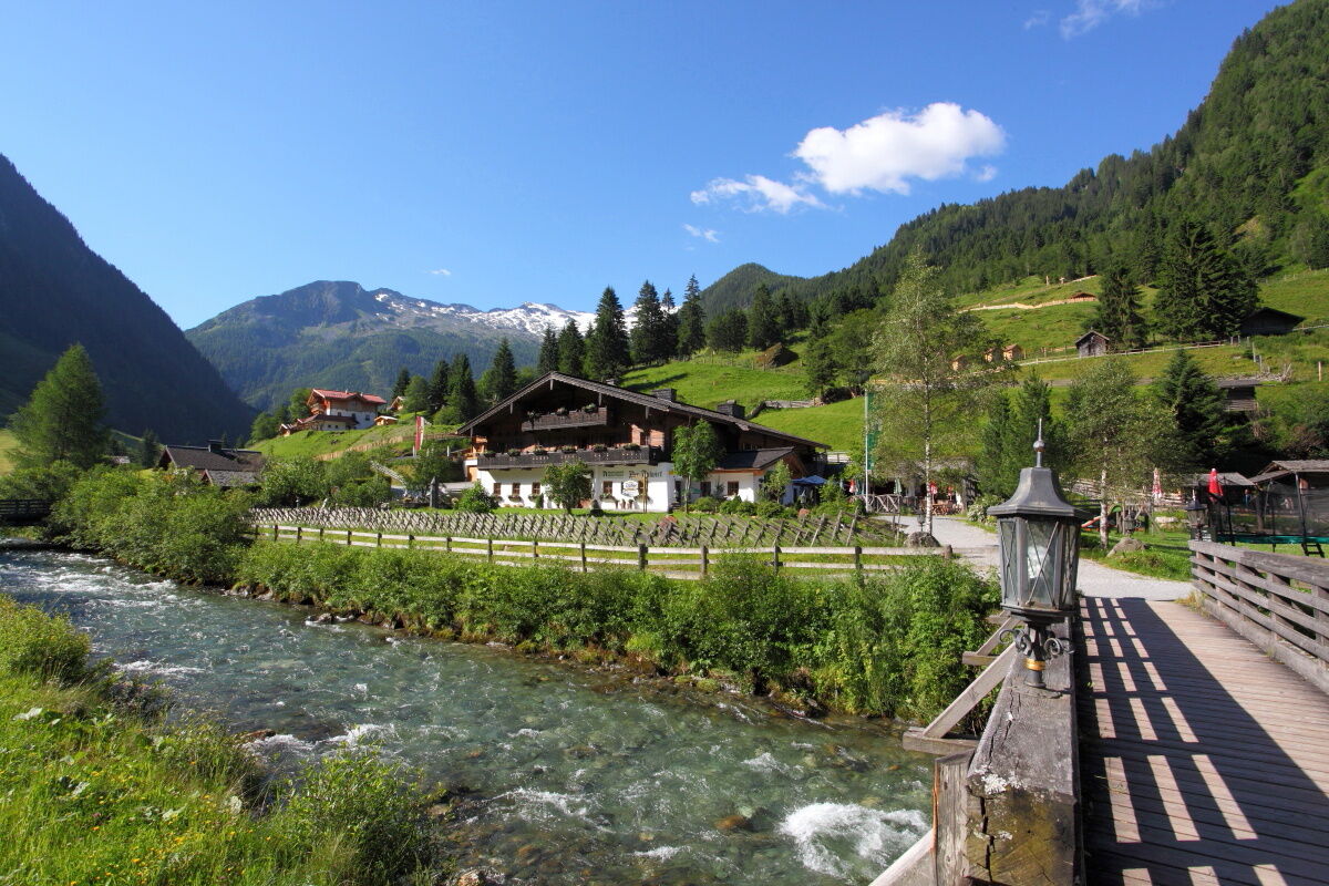
Day 1:
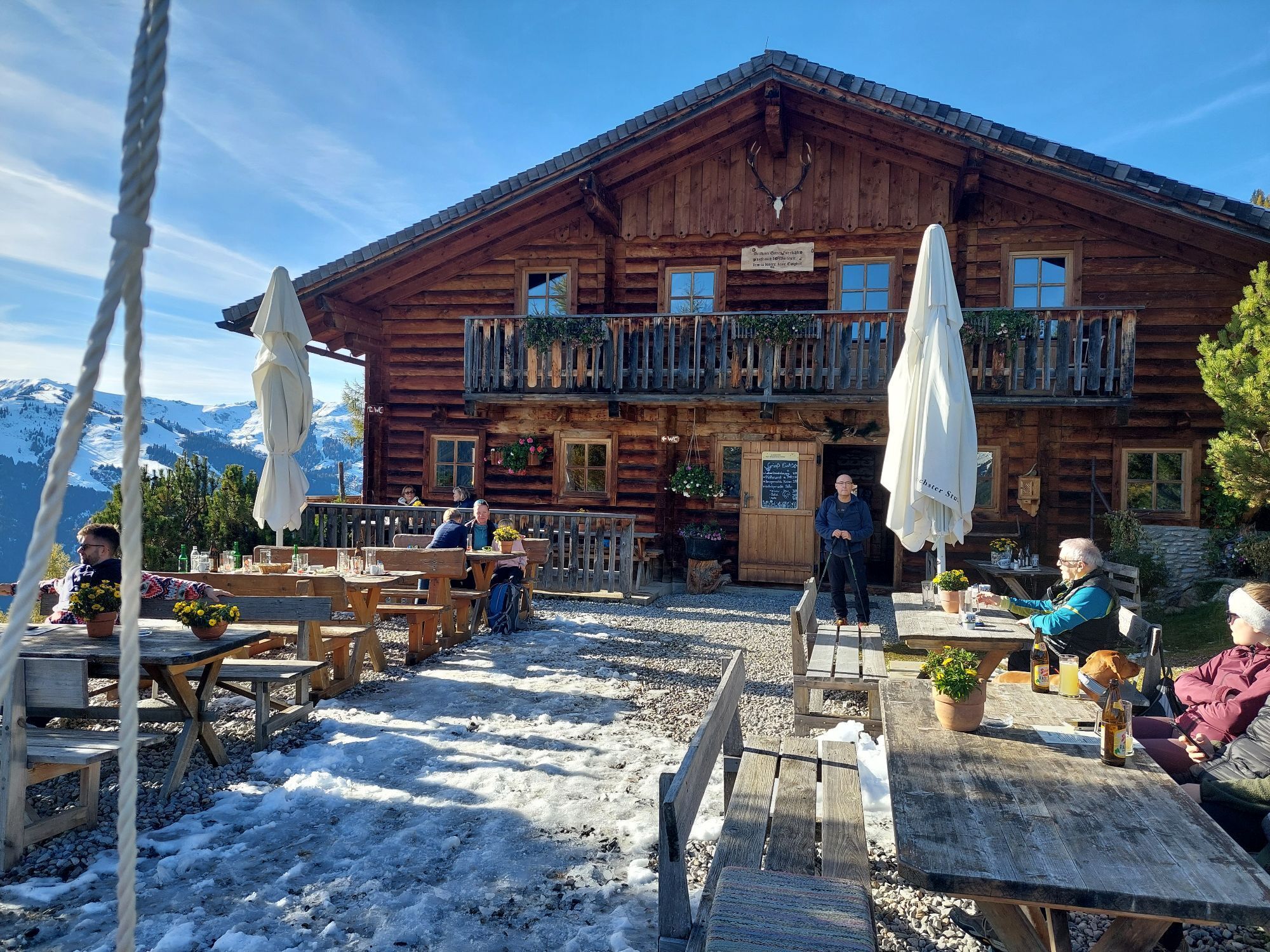
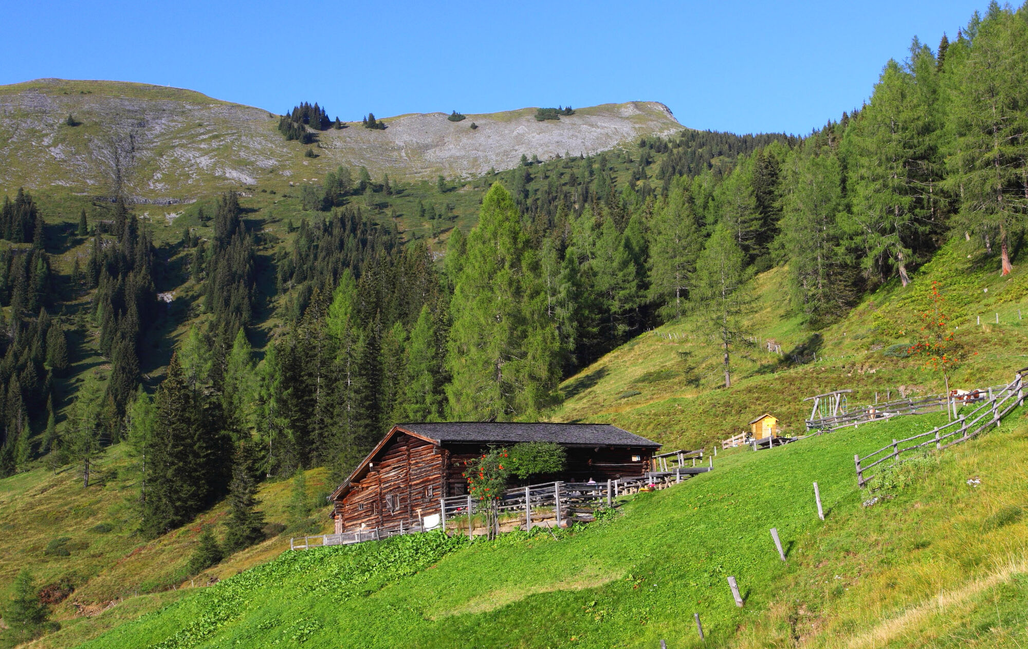
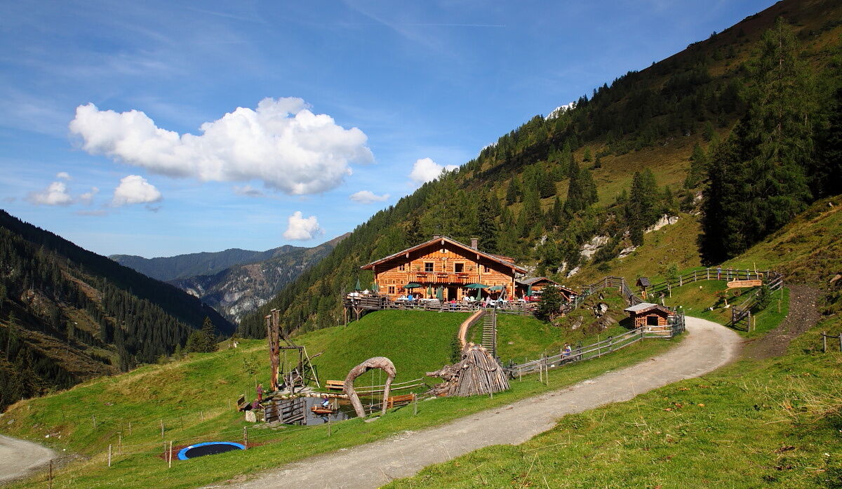
From the center of Großarl you head to the Heugathalm. Here you have the first opportunity to stop at an alpine hut. A tasty snack and a cozy sun terrace await you. Then it continues to the Gerstreitalm, your...
From the center of Großarl you head to the Heugathalm. Here you have the first opportunity to stop at an alpine hut. A tasty snack and a cozy sun terrace await you. Then it continues to the Gerstreitalm, your first stage destination. After a cozy evening at the hut, you settle into the beds for the first night.
Day 2:
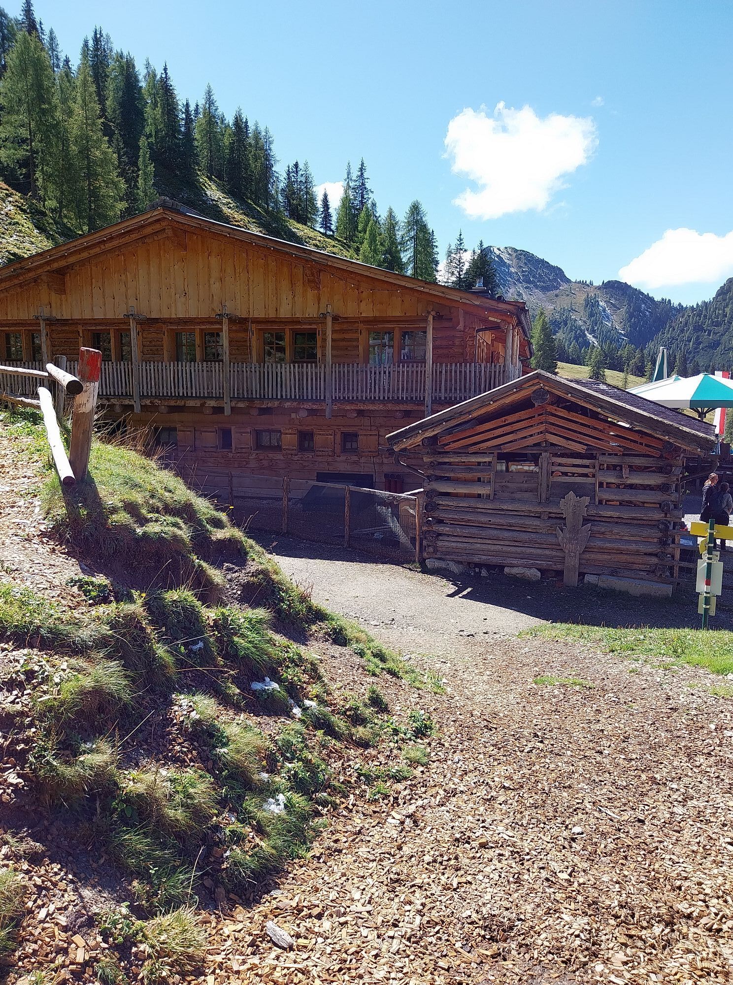
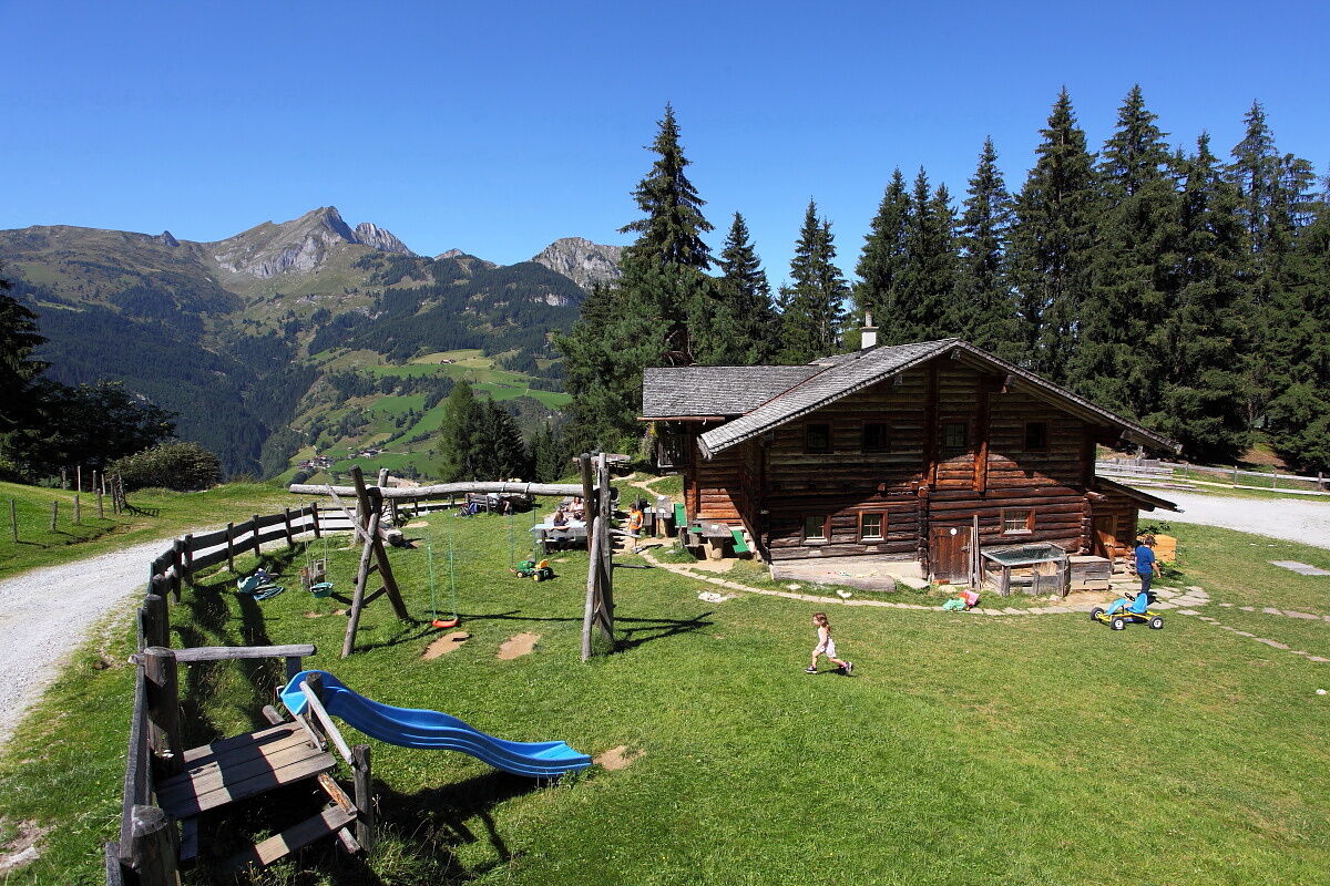
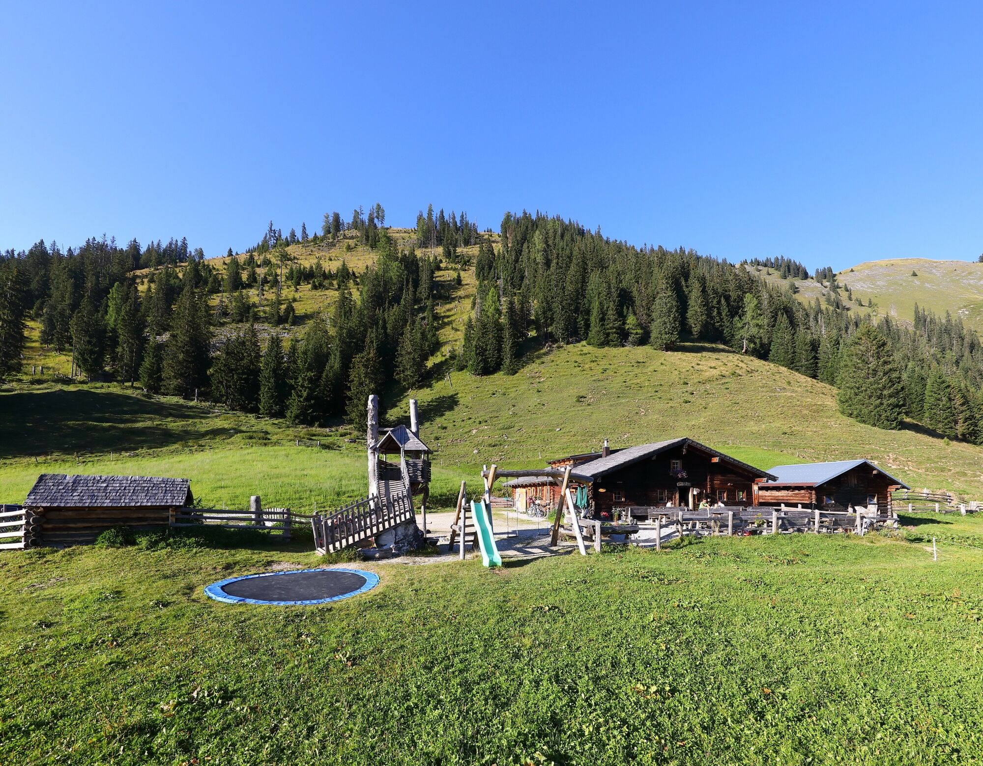
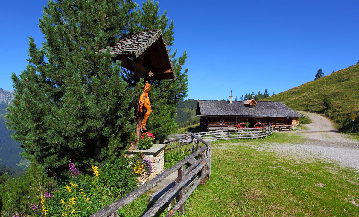
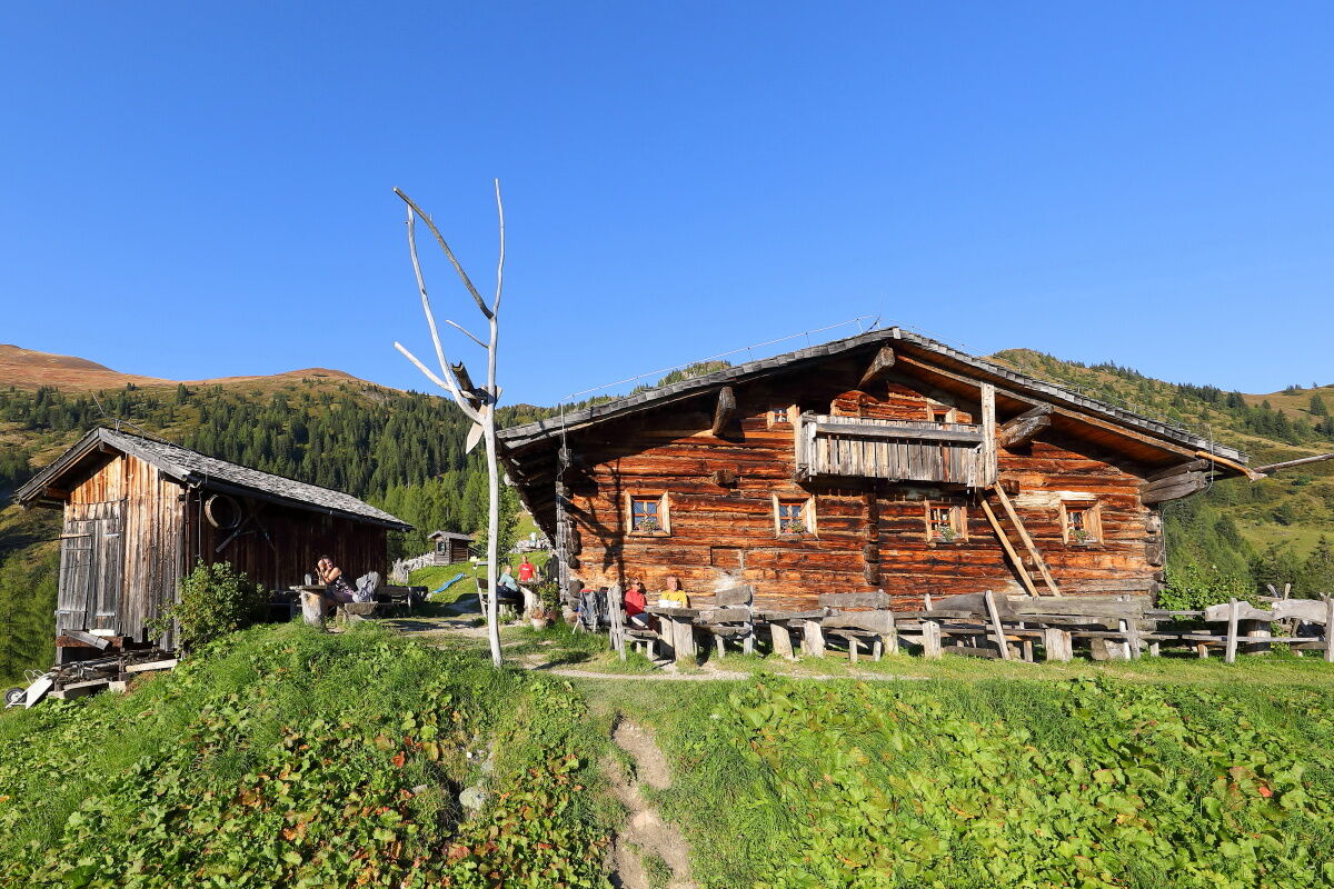
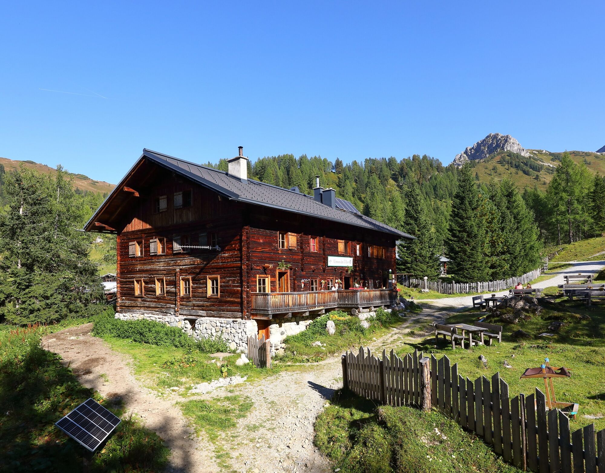
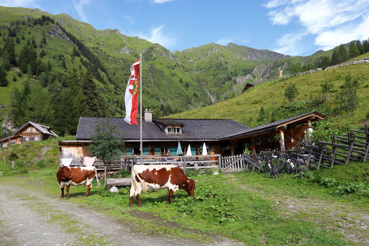
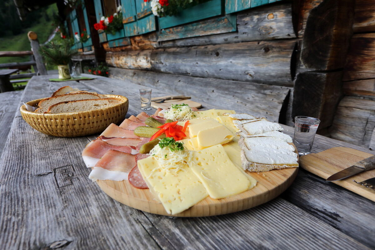
You will be awakened by the ringing of the alpine cows' bells. After a hearty breakfast, you set off uphill to the Röschenbergalm, which is not serviced. Across beautiful alpine meadows, you reach the Saukaralm. This is the highest alpine pasture in the Großarltal. The view from here is simply unique. After strengthening yourself, you continue across alpine meadows called the Spatkar, passing the Spatalm and the Kleinwildalm (both not serviced) to the Großwildalm. Here you will again be pampered with delicacies from their own production. A mountain path first leads slightly downhill, then uphill to the Karseggalm, the oldest hut in Großarltal. With about 400 years, it is a particularly rustic hut. There is no electricity or water, but there is an open fireplace where an old Großarl specialty, the smoked knead cheese, is still smoked according to old recipes. Of course, there are also delicacies from their own production. Then you continue leisurely to the Unterwandalm, where you spend the second night. Often the hut keeper takes to his accordion - a sociable hut evening is guaranteed...
Day 3:
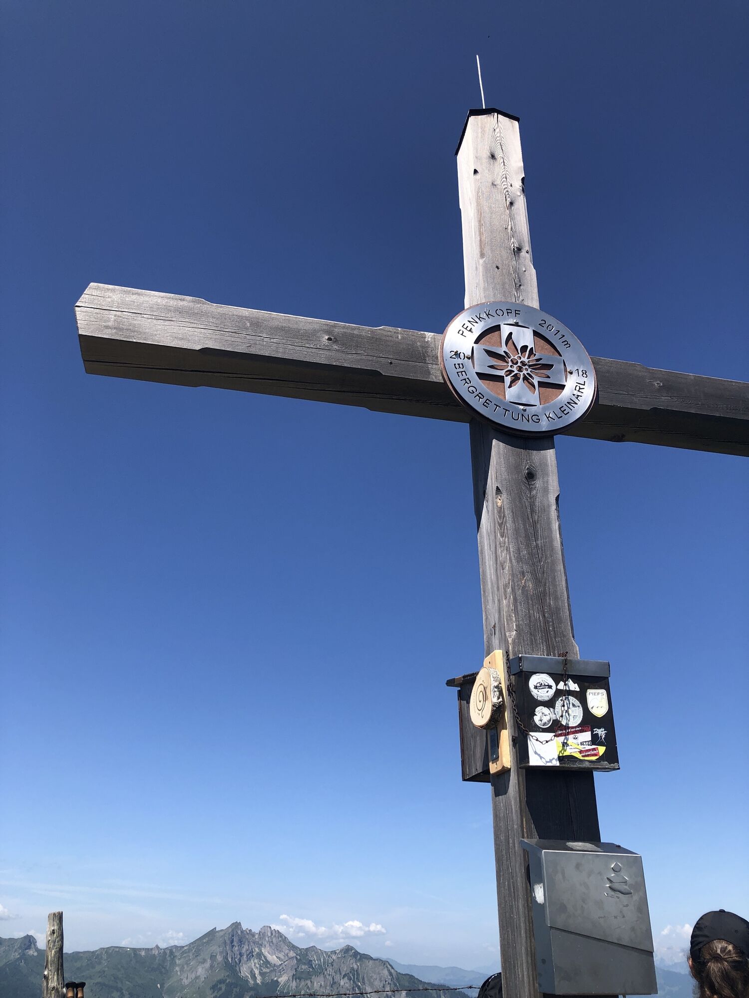
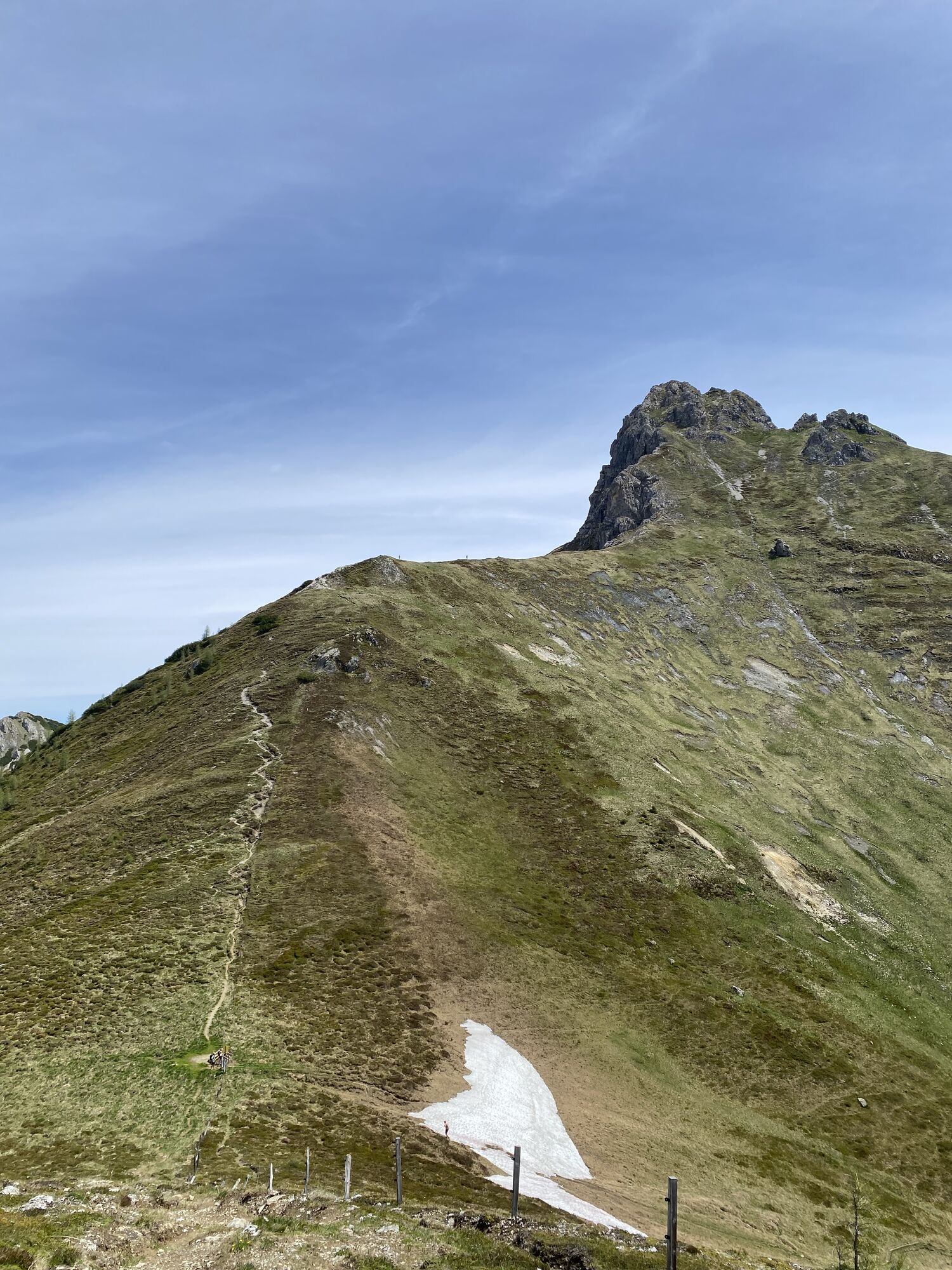
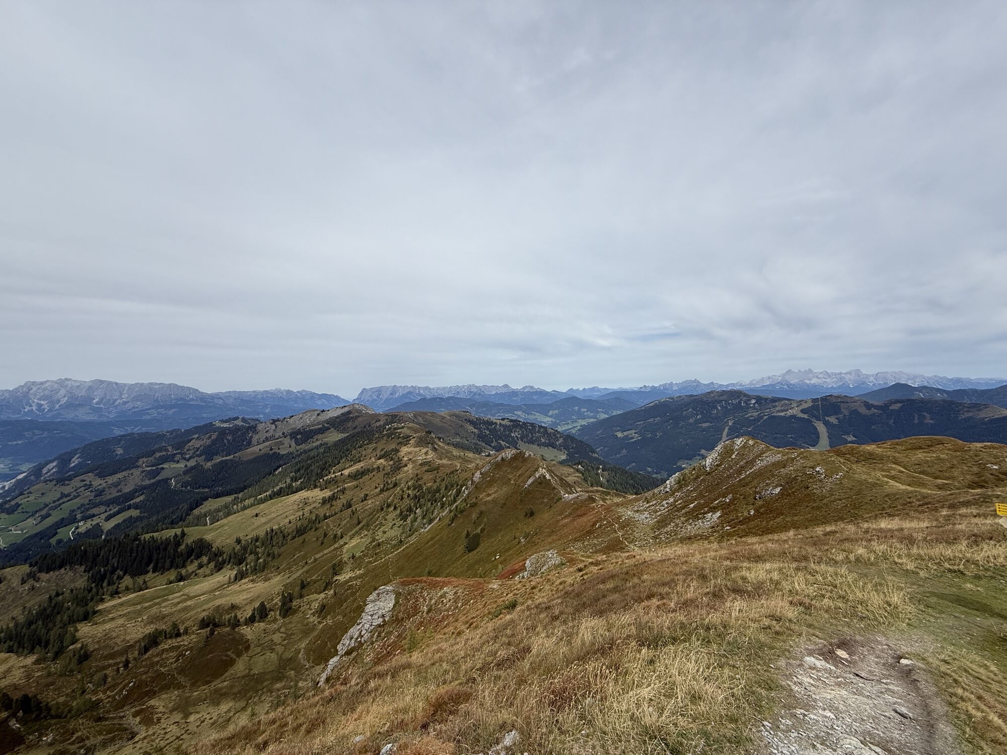
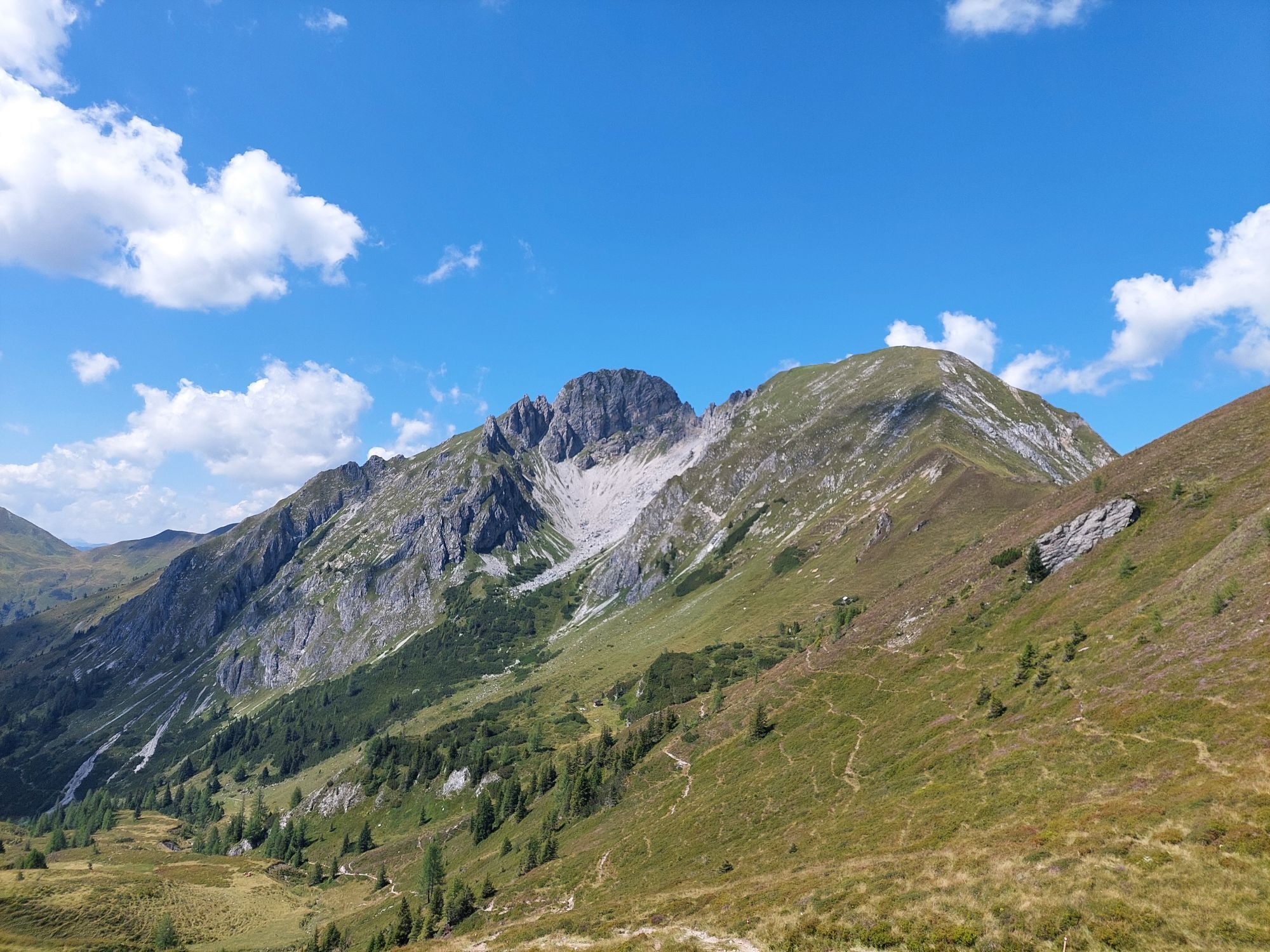
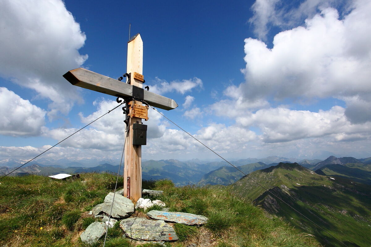
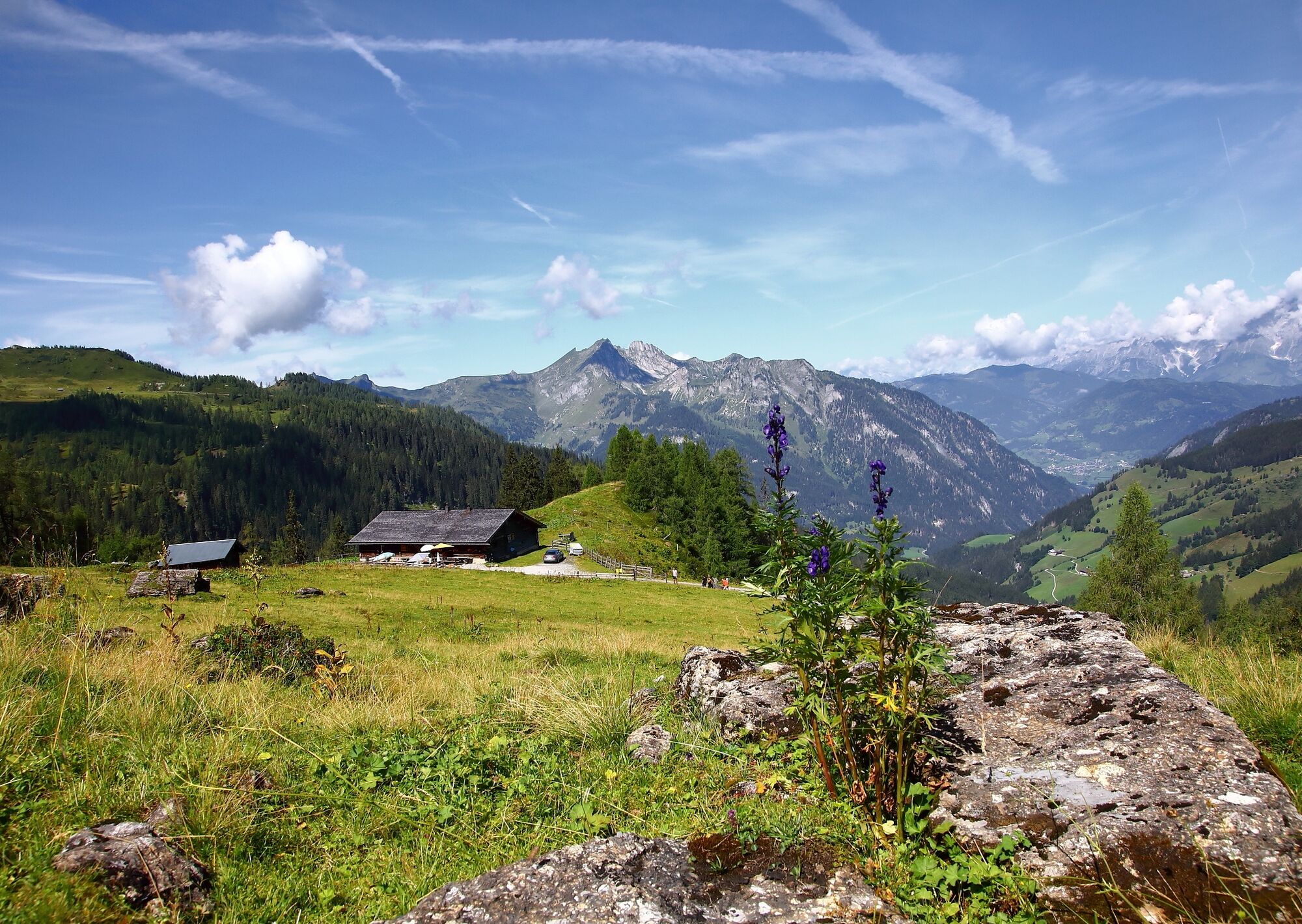
Freshly strengthened, you continue the next morning. First, you have to follow a part of the forest road. You pass the Muggenfeld (closed) and the Maurachalm. At Maurachalm, you will be spoiled with delicacies from their own farm. Maurachalm is the northernmost alpine pasture in Großarltal and is particularly known for the exquisite schnapps (rowanberry or elderberry). The herders often sing and play music here. Ascend via the Auhofalm (not serviced) to the Kitzstein (Gabel). From here, you have a wonderful view of the Salzach valley as well as Hochkönig, the Tennen and Hagen mountain ranges on one side, and the High Tauern on the other. You continue along the mountain ridge to the Penkkopf and the Gründegg. The descent leads to the Ellmaualm, where the beds already wait for tired hikers. Strengthened by a tasty snack, you can enjoy the sunset on the Ellmaualm...
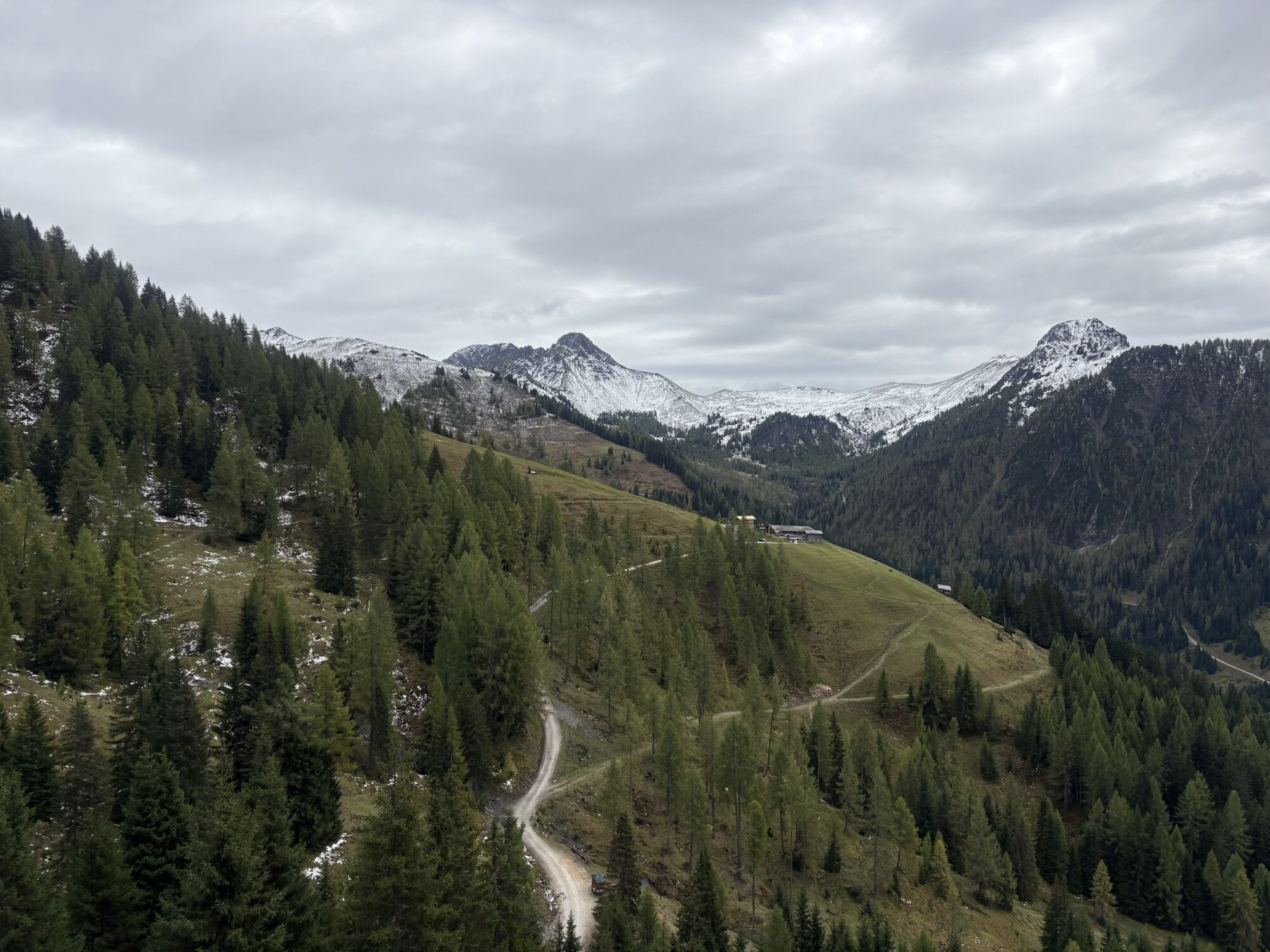
Day 4:
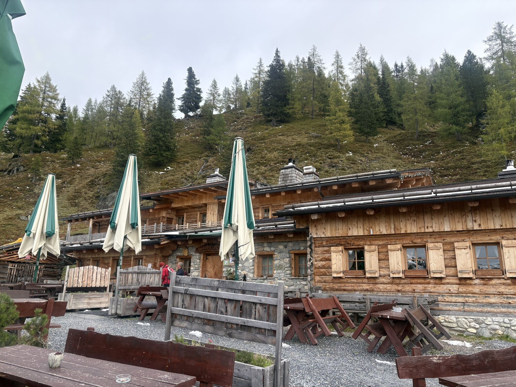
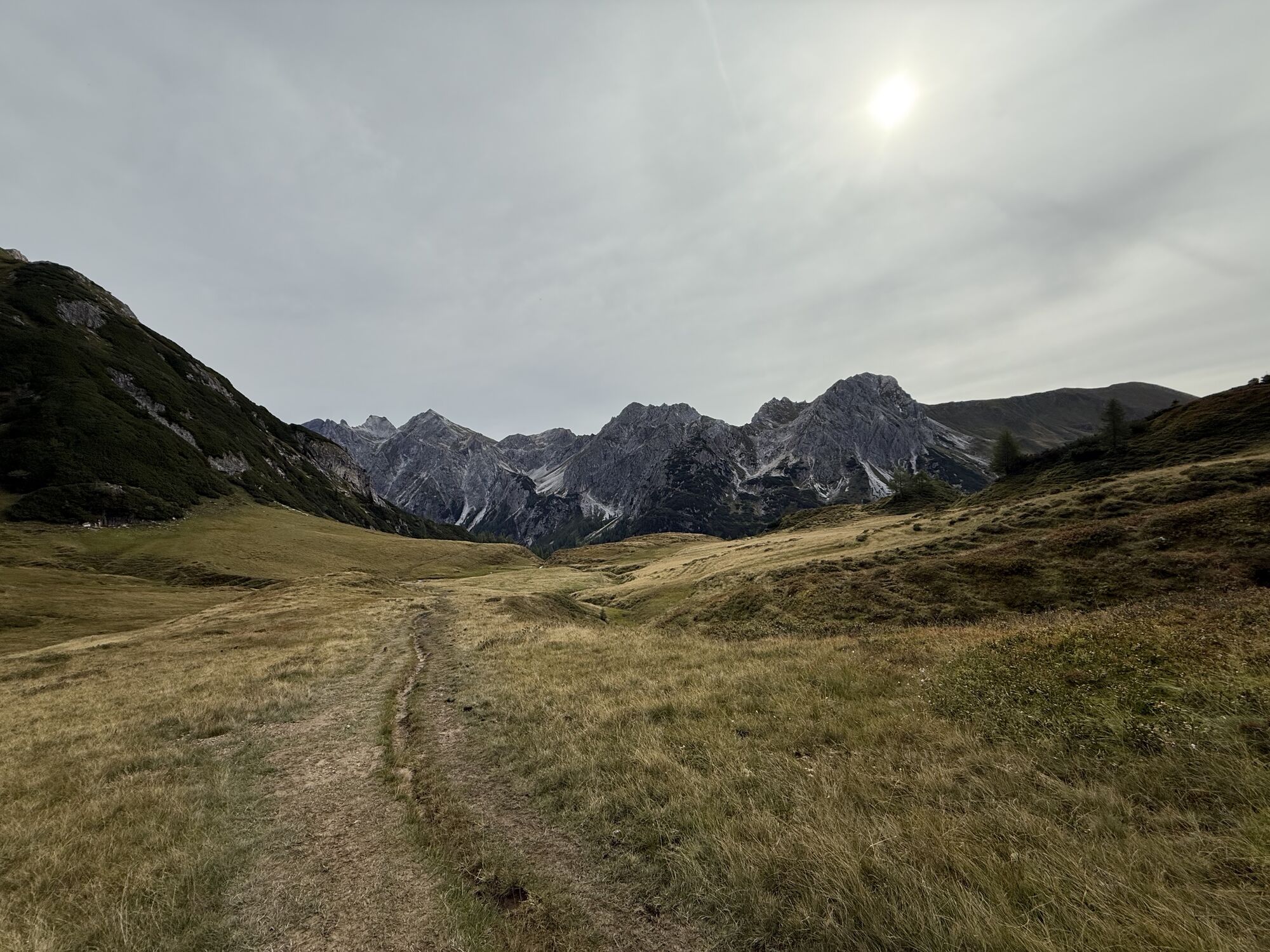
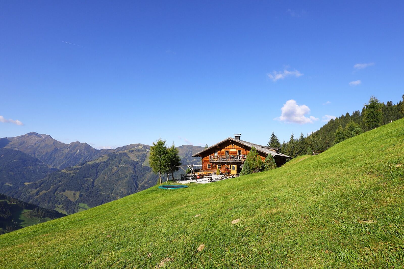
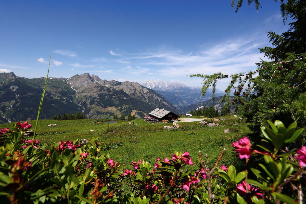
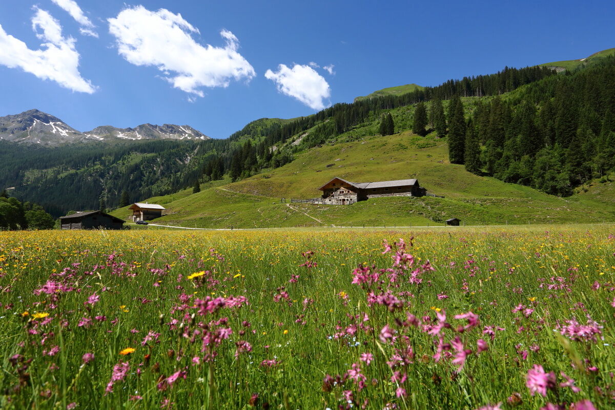
The next day, you follow the Salzburg Alpine Trail leisurely to the Weißalm and the Loosbühelalm. The Loosbühelalm was rebuilt in 2010 after a devastating fire. Especially for friends of goat’s milk and goat cheese, the Loosbühelalm (“Klausalm”) is a special insider tip. Here you will find not only the usual snack with homemade delicacies (not only goat’s milk but also cow’s milk products) but also warm dishes. The way over the “Fleischgraben” finally leads to the Filzmoosalm. The hut lies in an untouched natural landscape.
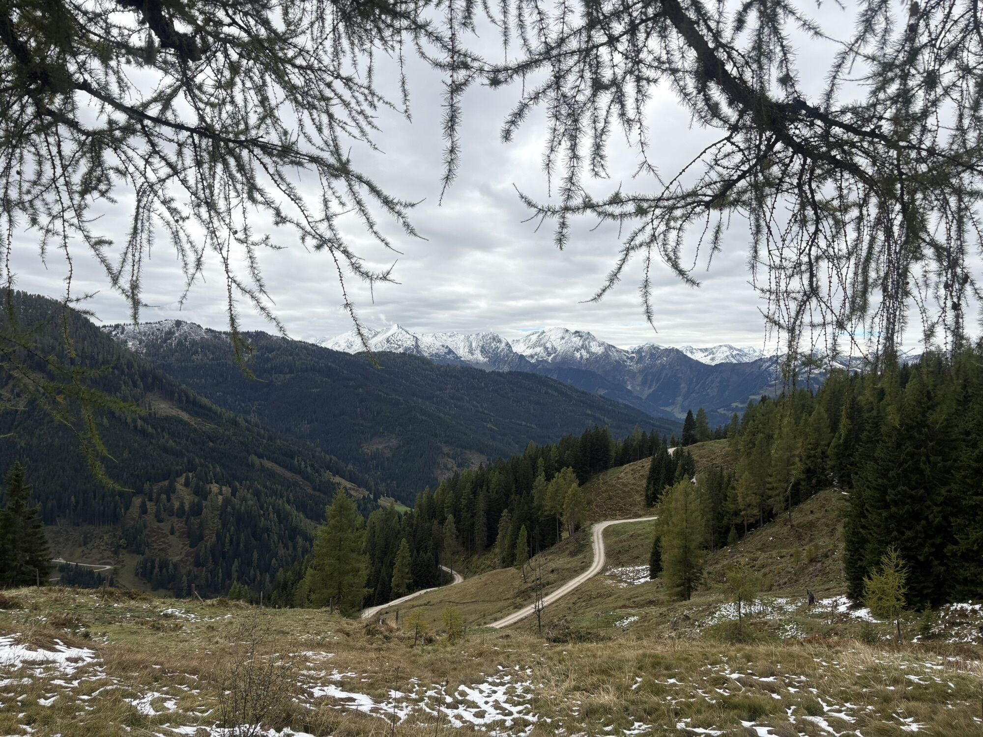
Day 5:
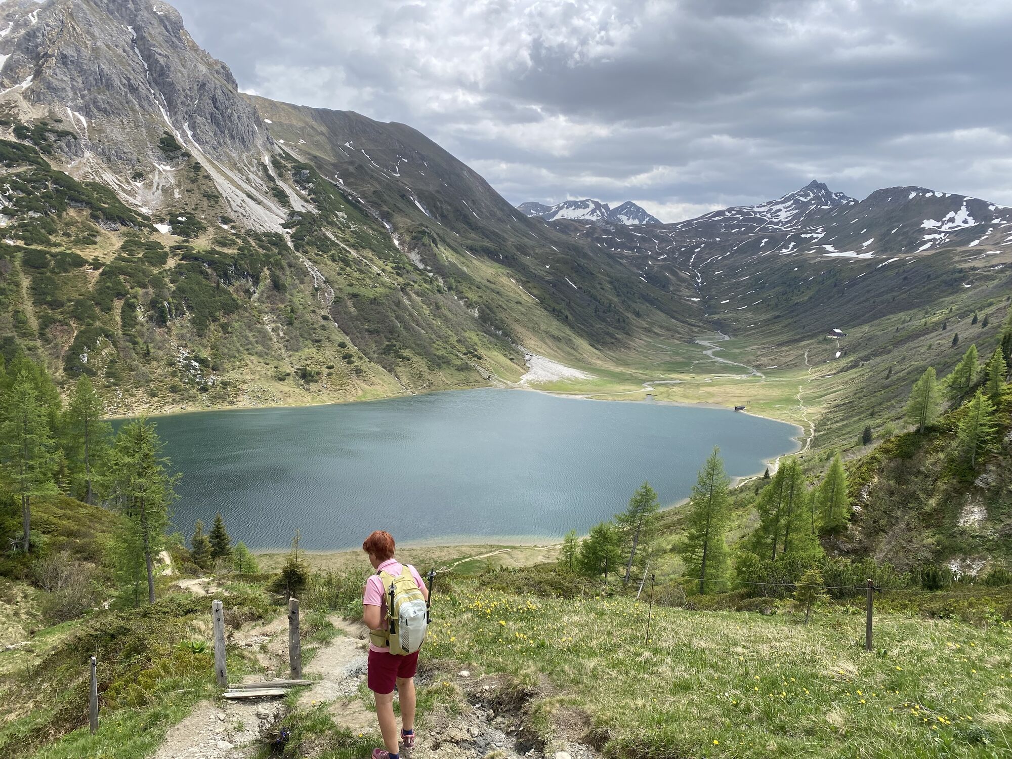
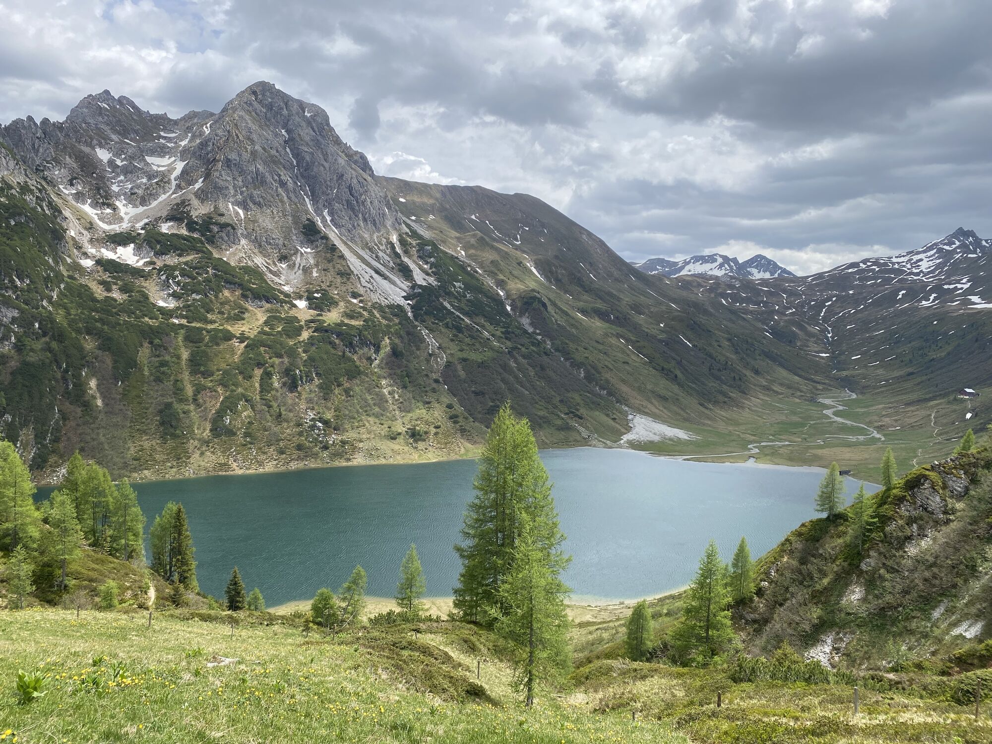
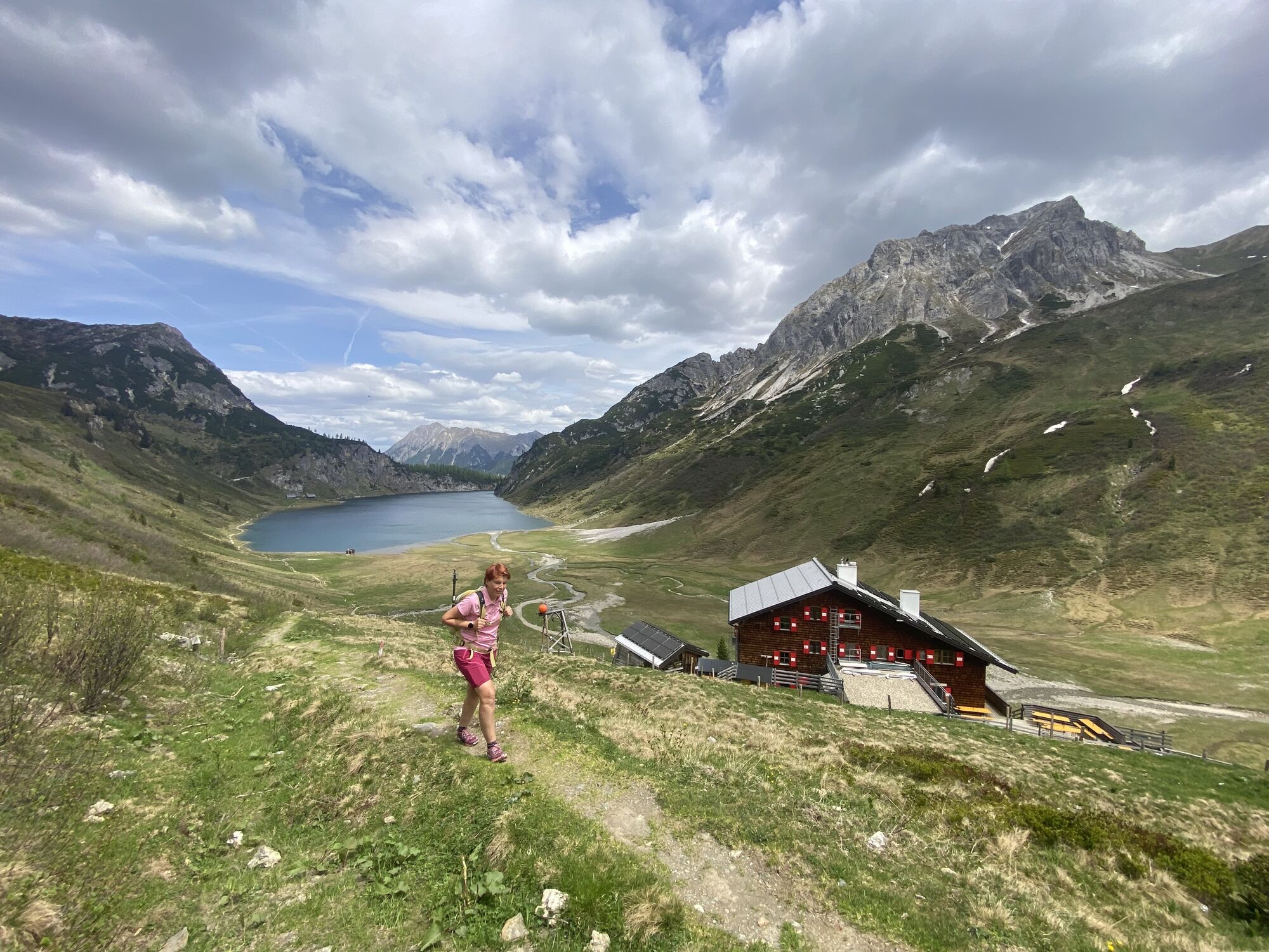
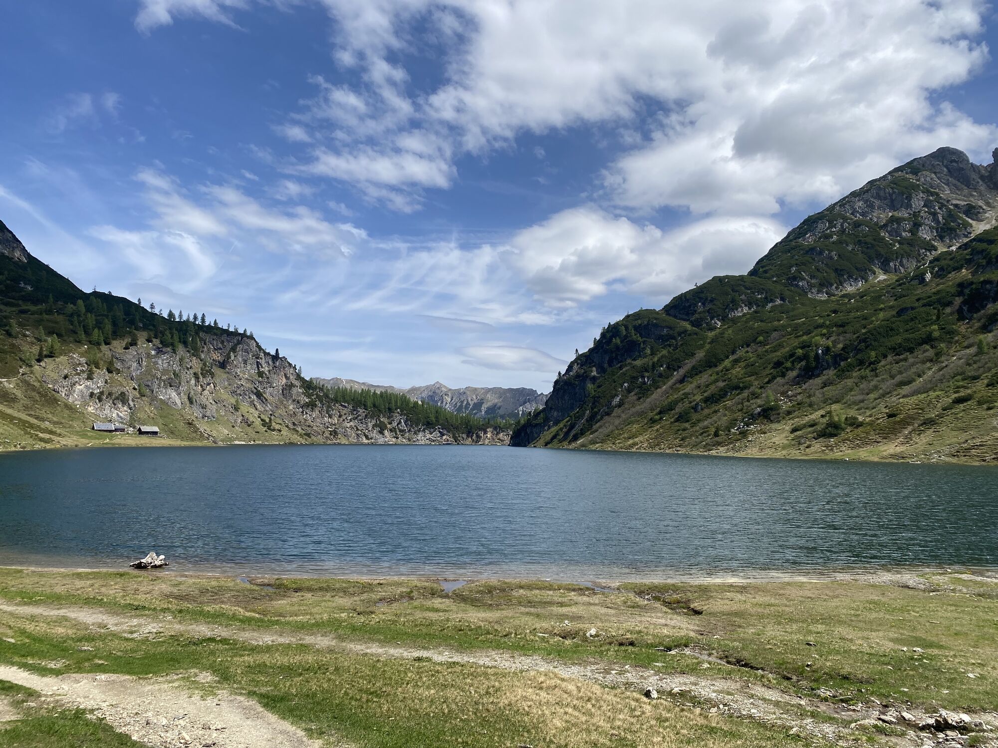
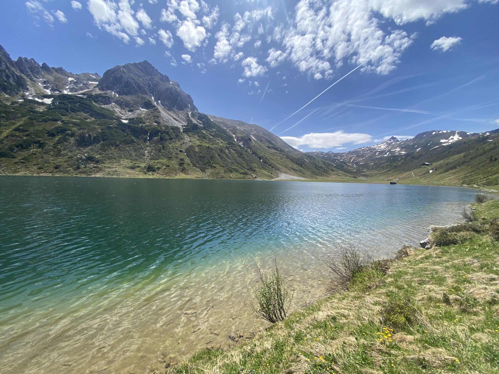
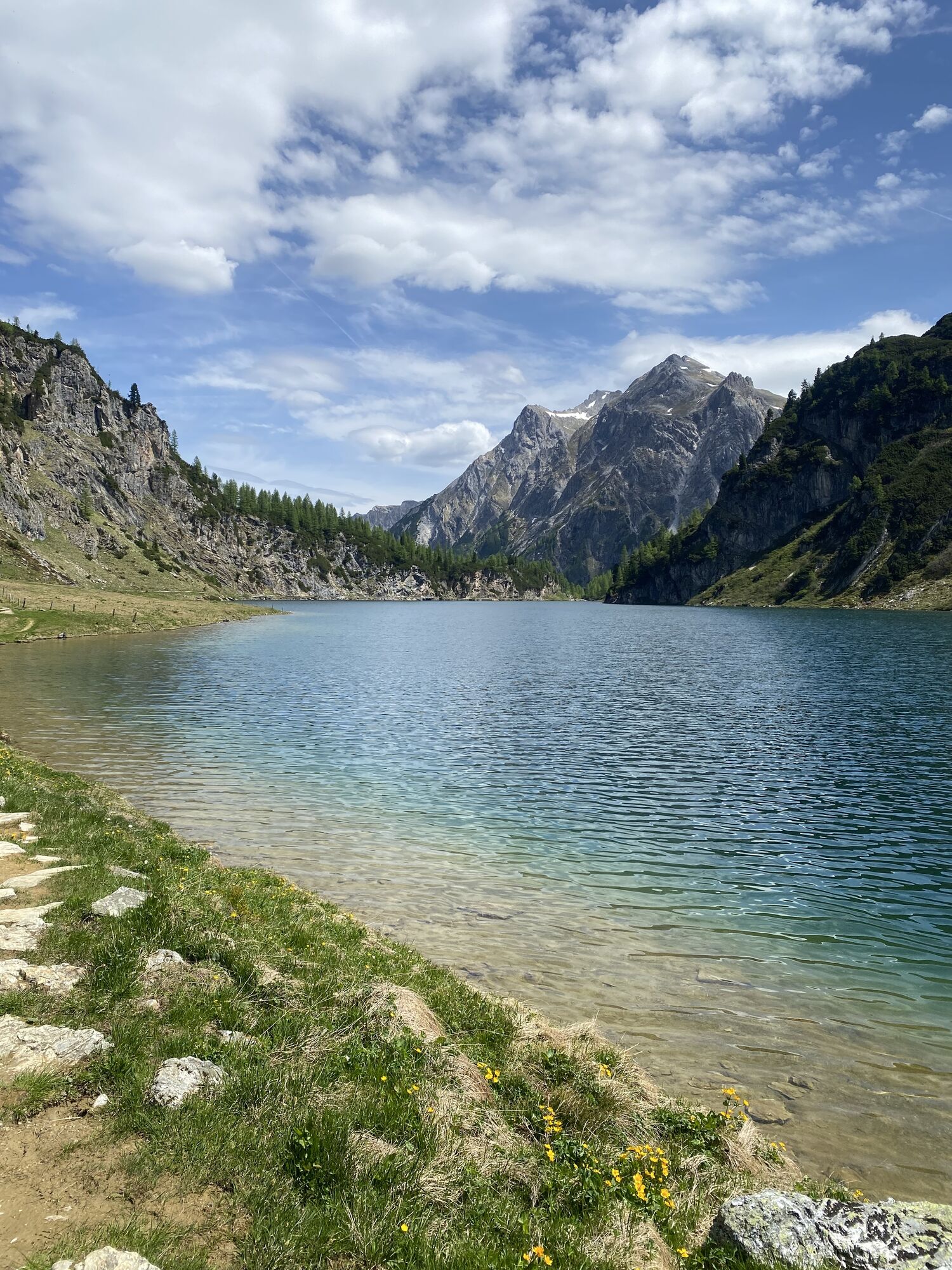
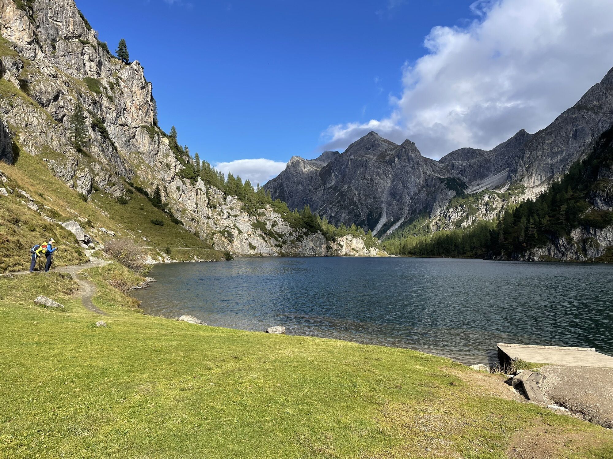
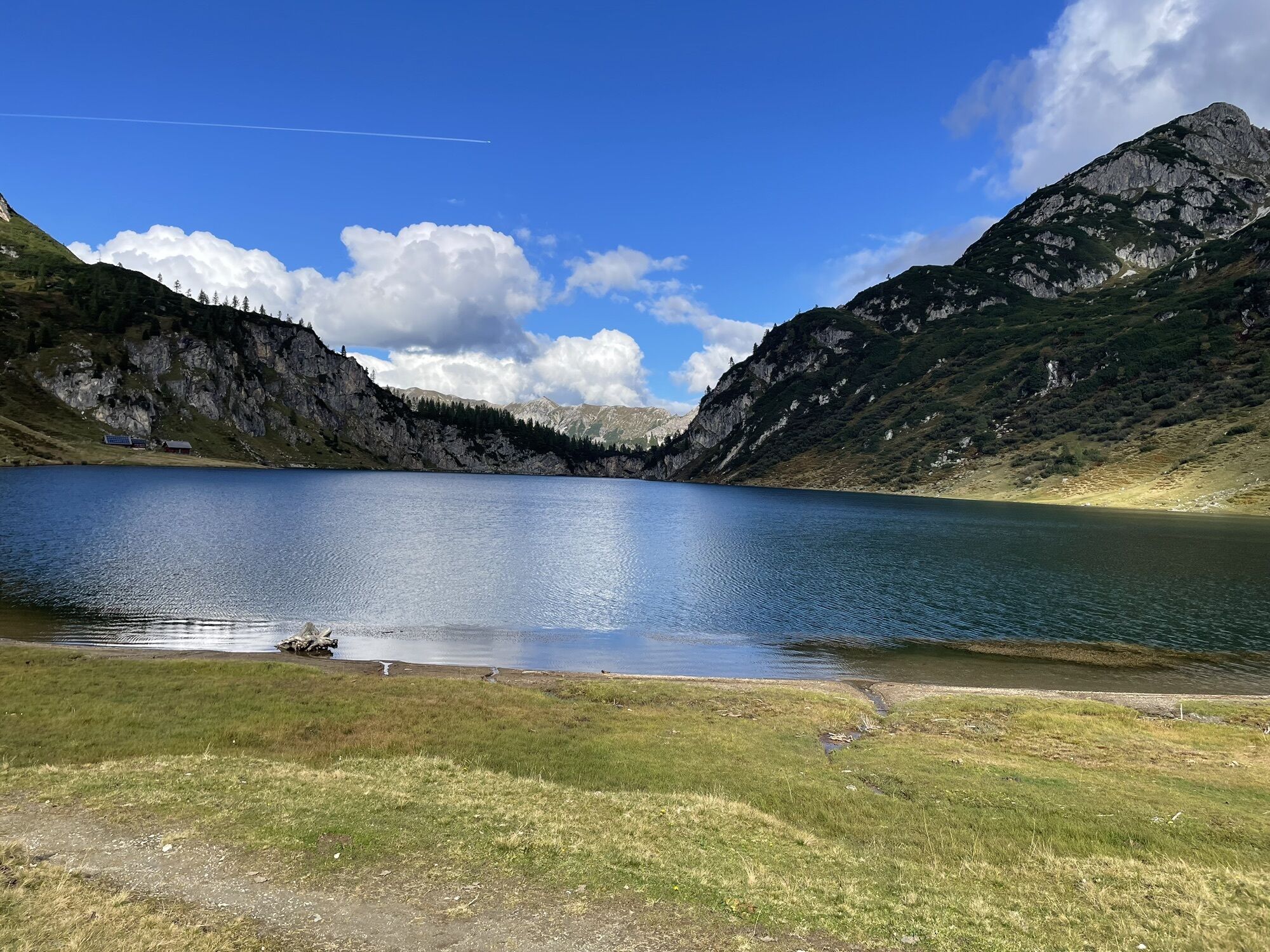
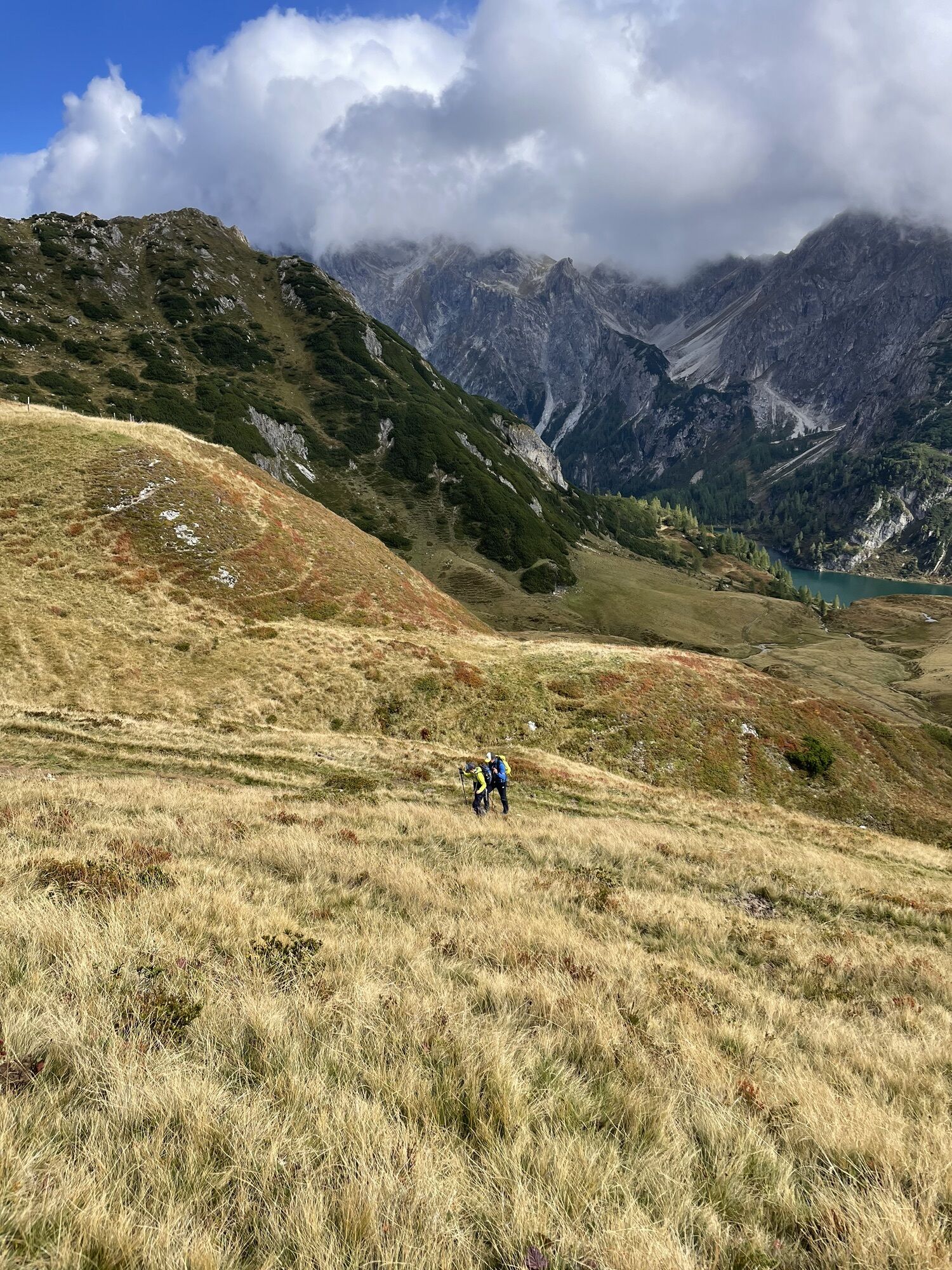
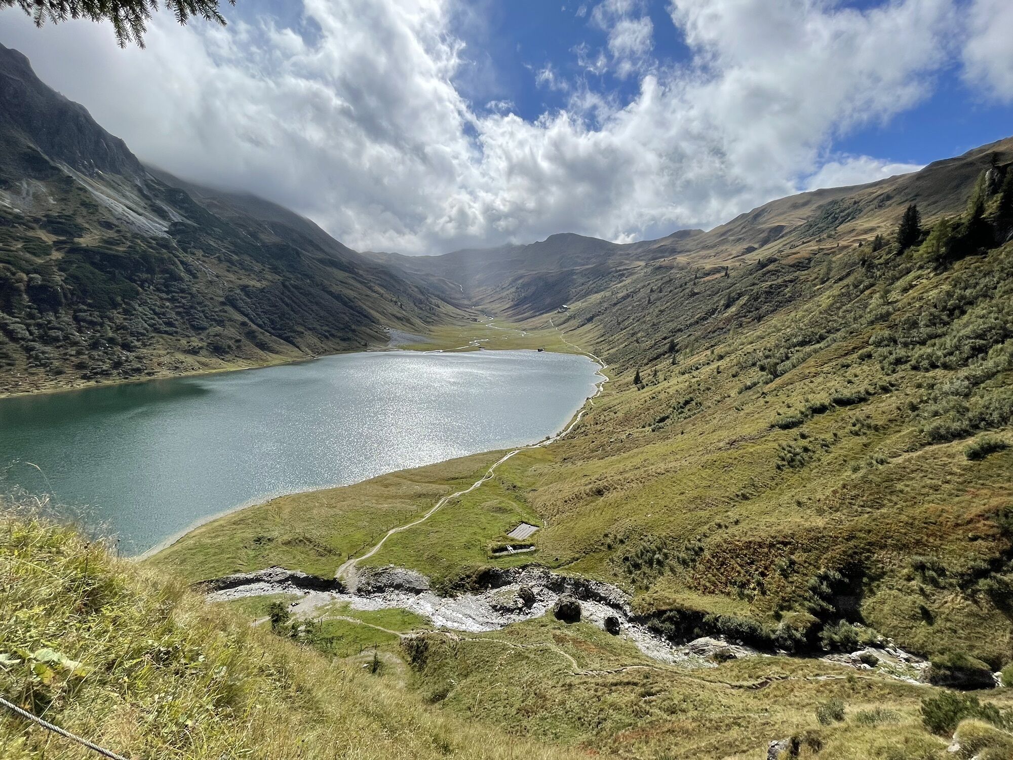
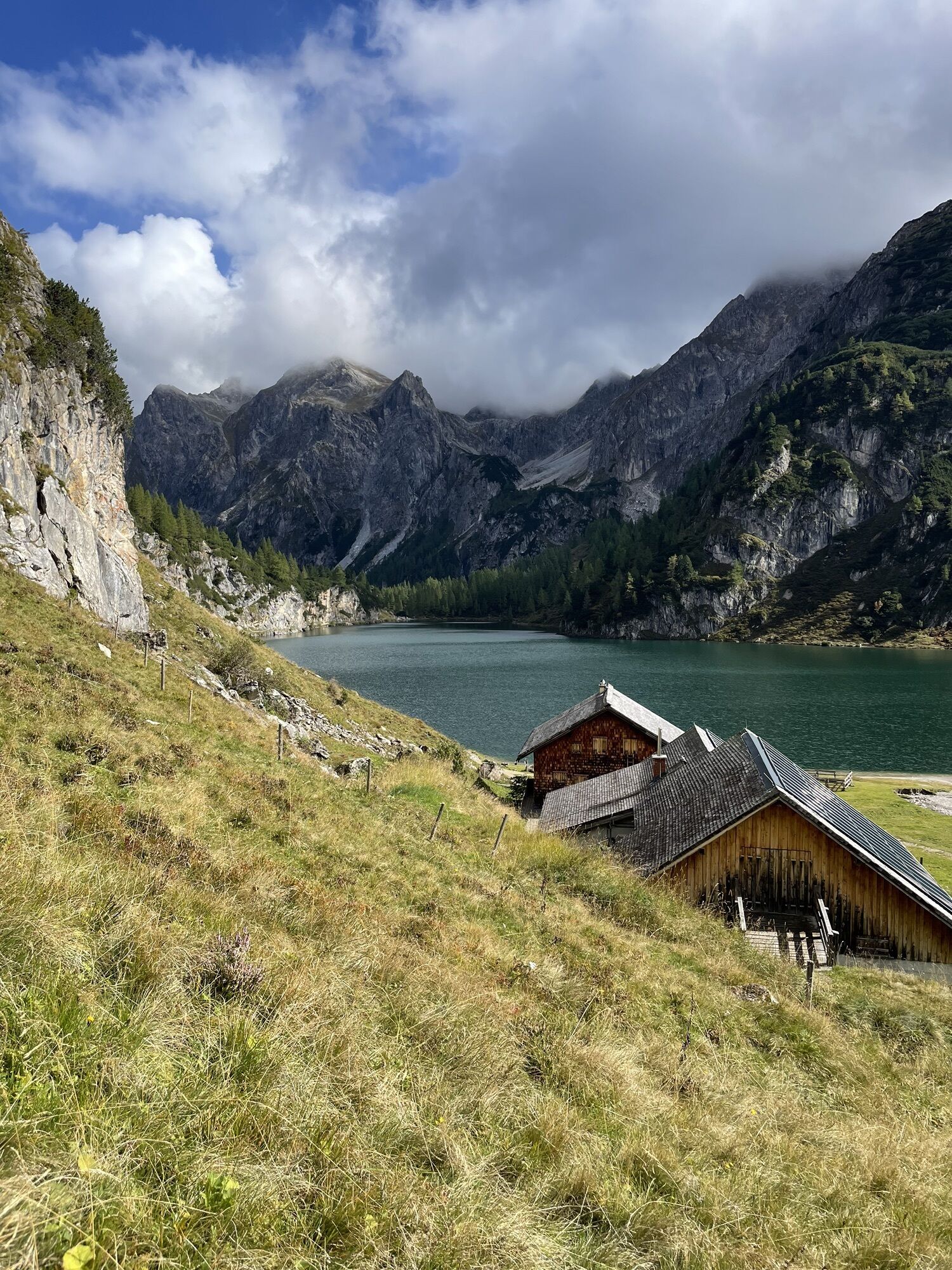
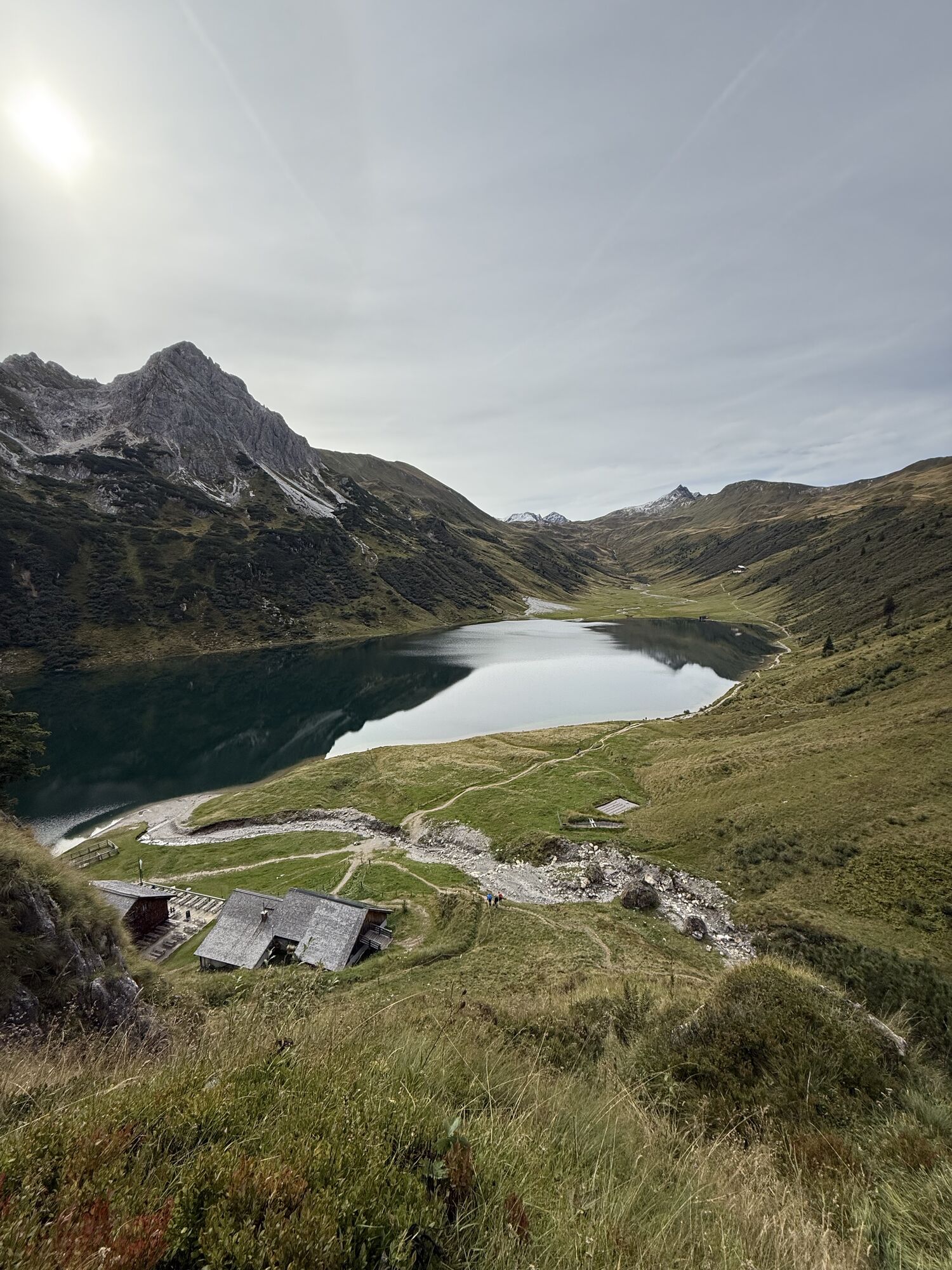
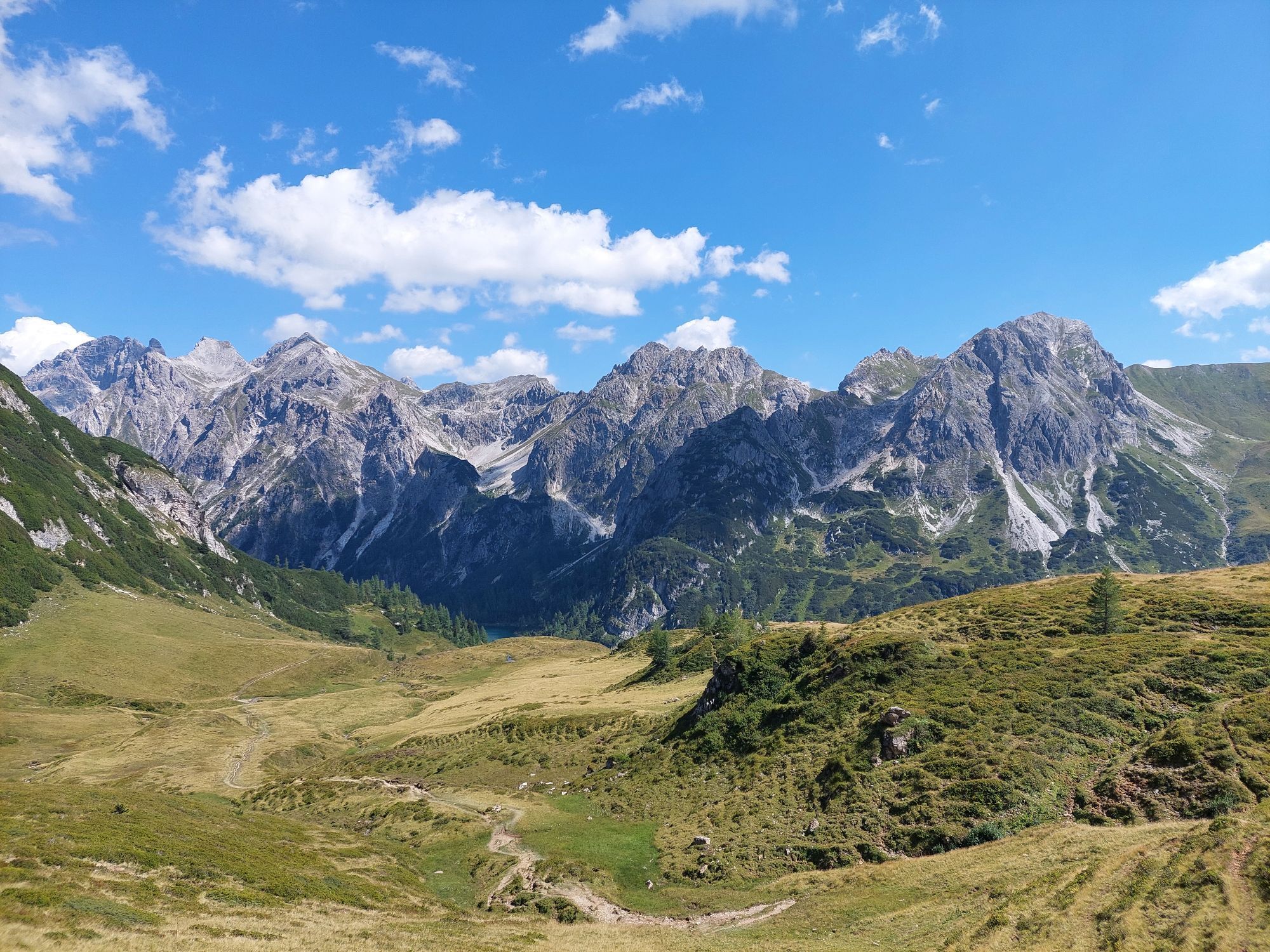
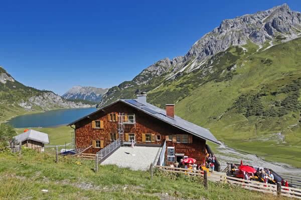
Well rested, you hike to the Filzmoossattel. Right at the saddle, there is a beautifully designed gentian, the symbol of the Salzburg Alpine Trail. A short detour to the Filzmooshöhe and the Filzmooshörndl is definitely worth it. Then continue to the Draugsteintörl. From here, you already have a nice view of the Tappenkarsee, the largest mountain lake in the Eastern Alps. According to legend, the Tappenkarsee is connected underground with the Schuhflickersee because a cartwheel that fell into the Tappenkarsee was reportedly found there. Leisurely descent to the Tappenkarseehütte. This alpine club hut is located directly at the Tappenkarsee. Warm delicacies such as Kaiserschmarrn or blueberry pancakes await you here.
Day 6:
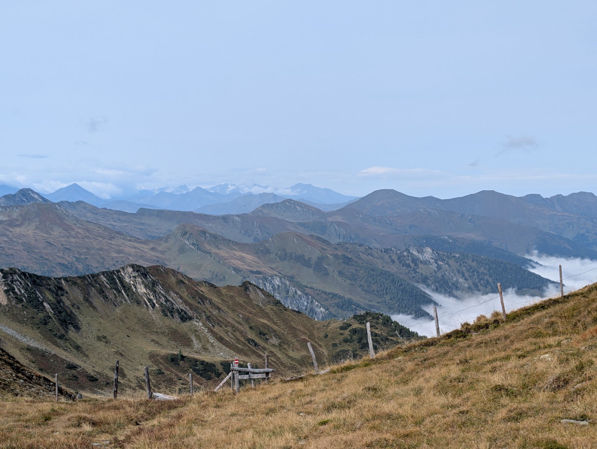
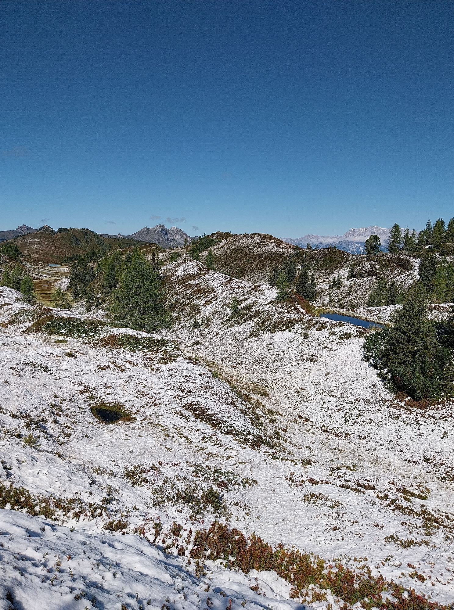
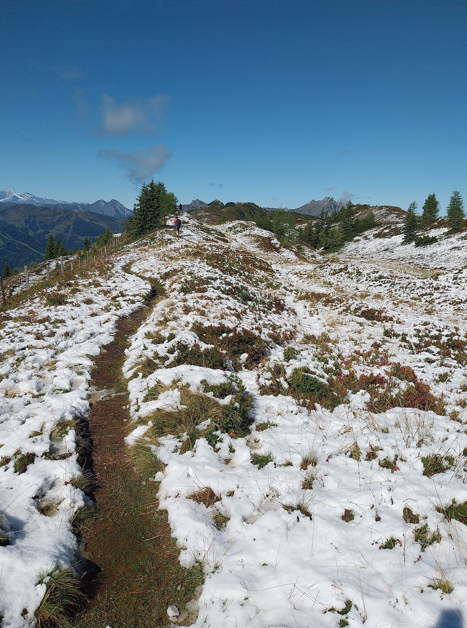
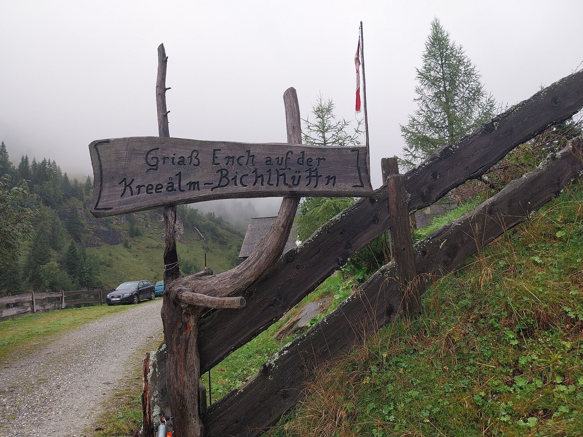
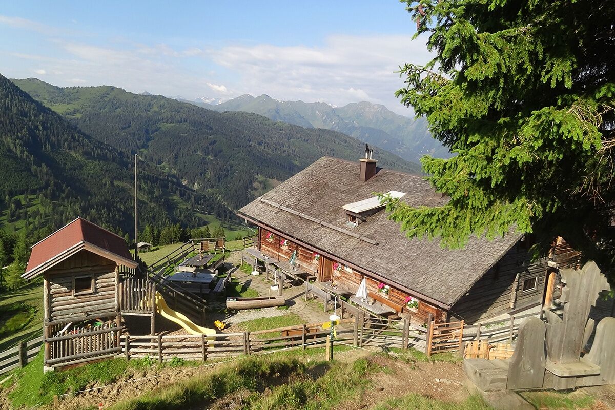
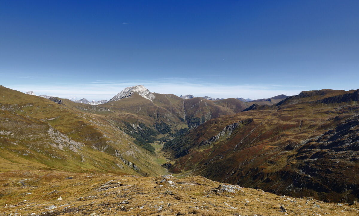
A sunrise at the Tappenkarsee. How could a day start better? Then continue to the Wasserfallscharte and the Nebelkarscharte. On the high trail, you reach the Murtörl. Just below this pass, the Mur river springs. It is often very windy here; it can happen that you walk everywhere in short sleeves but icy cold wind blows at the Murtörl. Attention: There is no hut along the entire stretch. Please bring enough drinks and food. Through a vast cirque, you finally reach the two Kreealms, the Kreealm-Bichlhütte and the Kreealm-Kreehütte. Here you will be spoiled with delicacies from own production. At the lower hut, the Kreehütte, you settle for the last night.
Day 7:
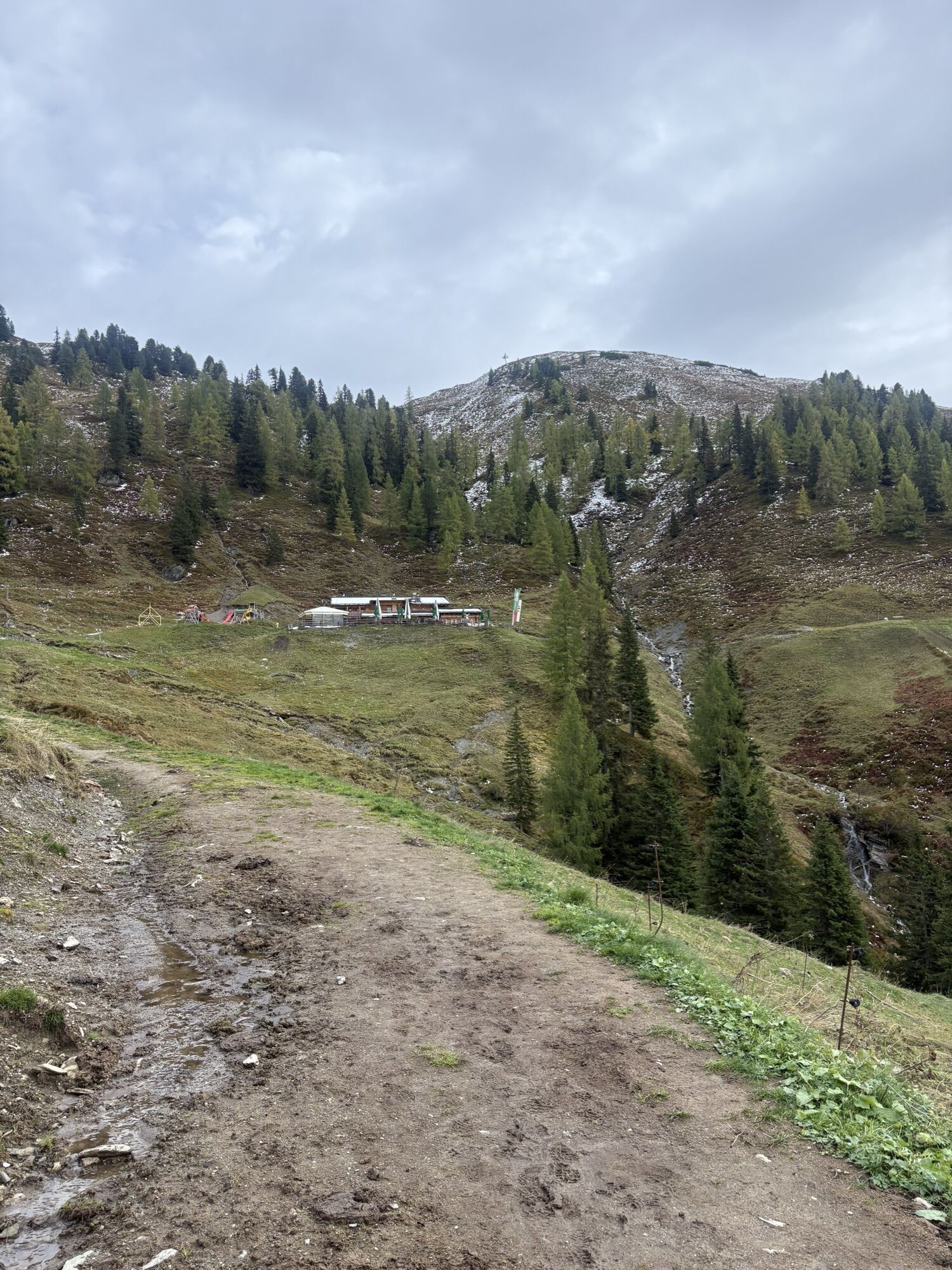
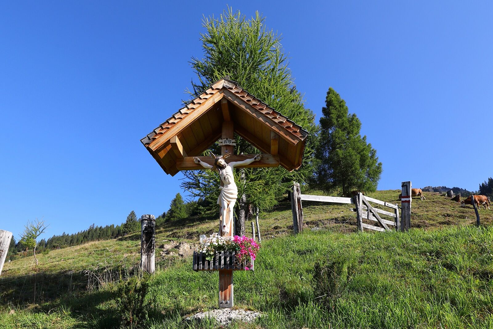
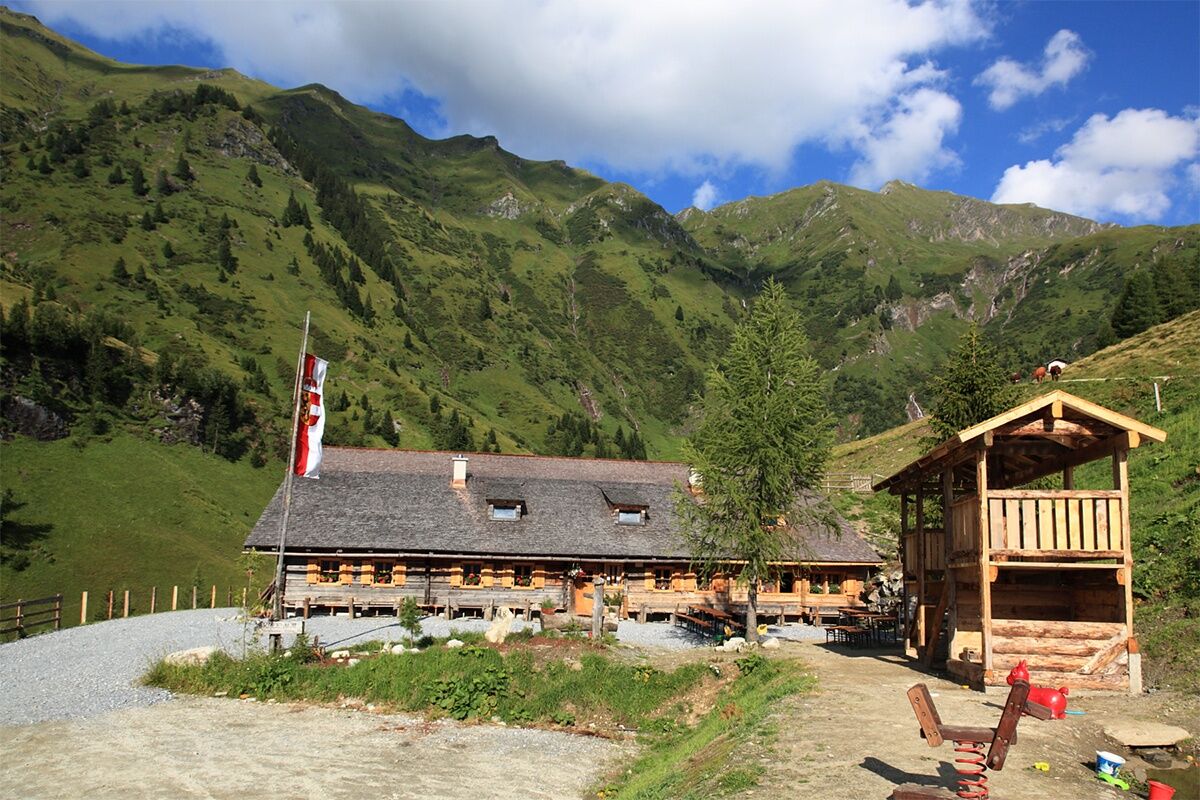
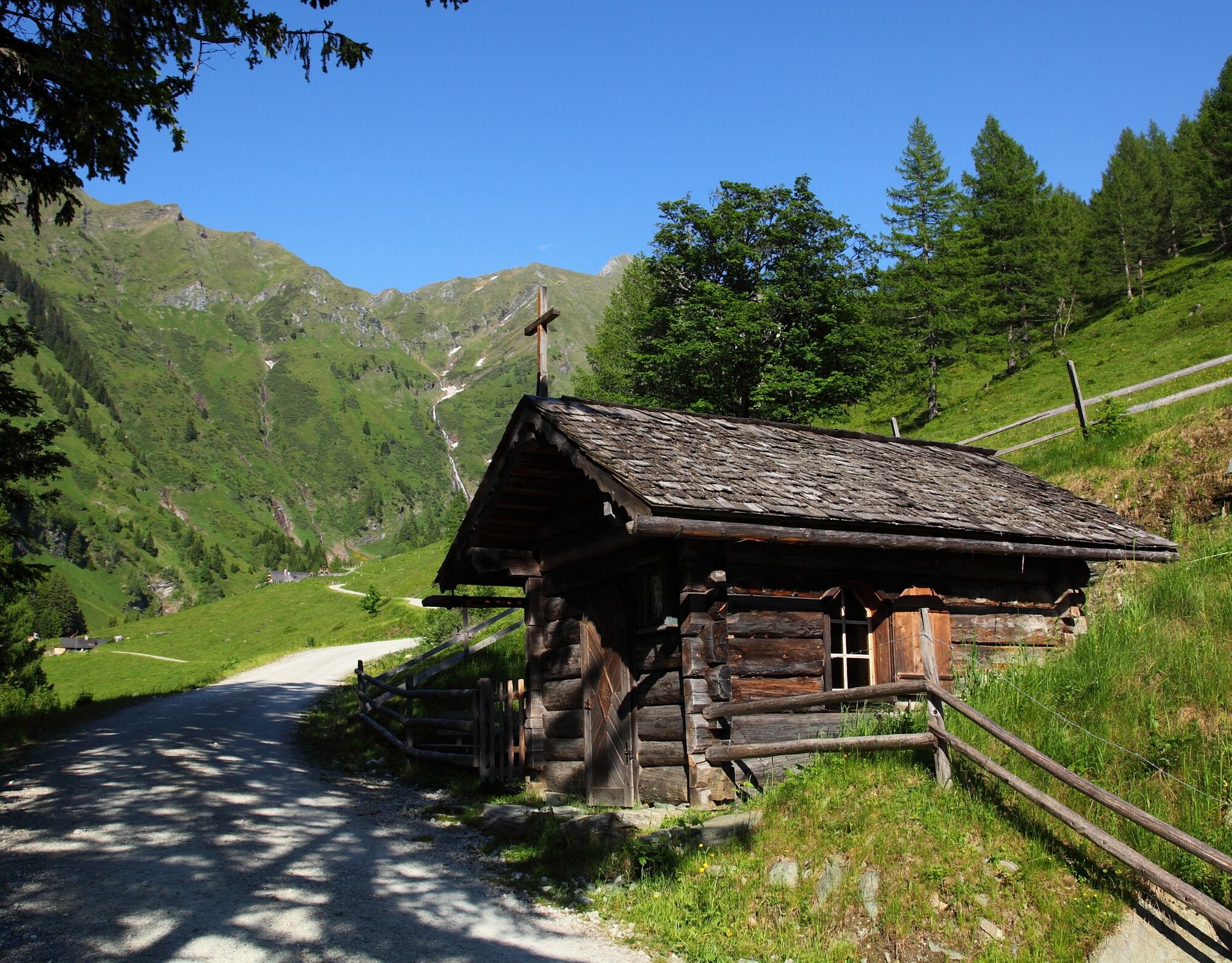
The next morning, you go downhill leisurely. Just after the Kreehütte, you pass a chapel. You now have to decide whether to walk down via the hiking path or the forest road. Once down, you can refresh yourself at the Gasthof Talwirt. Then it continues over a somewhat steeper alpine trail to the Modereggalm, where you spend the seventh night.
Day 8:
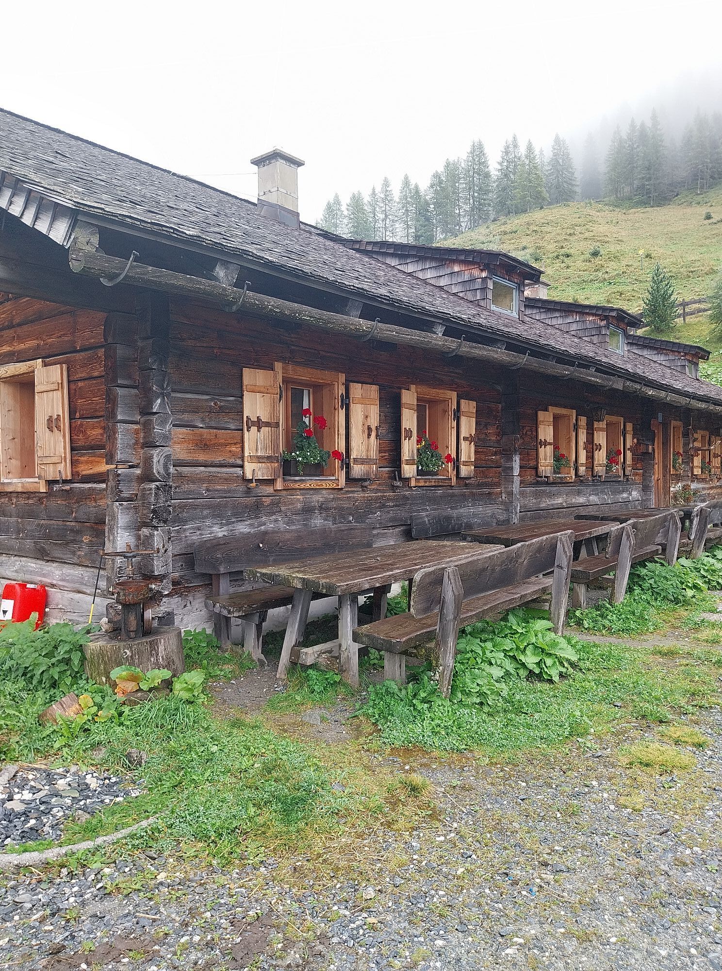
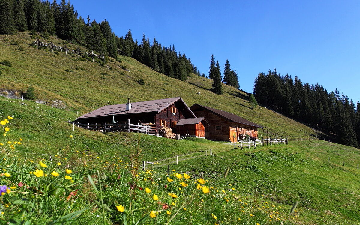
Ascent to the Hühnerkarscharte and from there the trail leads to the Hühnerkaralm. You will have reached your goal for this day. The dairy women serve all hungry hikers a snack with homemade delicacies like bread, butter, bacon, sausage, and cheese. Naturally, a shot of homemade schnapps is not missing—so nothing stands in the way of a cozy evening at the hut.
Day 9:
Freshly strengthened after the alpine breakfast, the hike continues. A bit steeper, the way leads downhill to the Hubalm. Here you will also be pampered with specialties. The Hubalm area is one of the regions richest in wildlife in our valley. It may happen that you encounter a stag or a deer during a hike, and especially in autumn you can hear the stags rutting. Now it goes uphill again to the Vorderkaseralm. Here too, there is again the possibility to be spoiled by the dairy farmers with delicious products. The hiking path leads you past the Hinterkaseralm, which is not serviced though. Uphill to the Roßkarkopfscharte. A narrow path leads you to the Reitalm, the last alpine pasture on this 10-day tour.
Day 10:
The descent follows the forest road past a large dam to the center of Hüttschlag. From here, you can take the bus, car, or hiking taxi back to Großarl, the starting point of the route.
Please note: The Modereggalm will be closed in the summer of 2026!
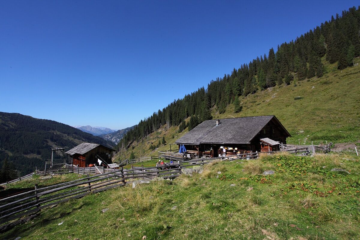
Day 2: Ascent to the Saukaralm, 1,850 m via path no. 65A, then 65 (approx. 1 h). Hike on path no. 64, then 63 to the Großwildalm, 1,778 m (approx. 2 h). Hike to the Karseggalm, 1,603 m via path no. 70 (approx. 11/2 h). Hike to the Unterwandalm, 1,600 m via path no. 70 (approx. 1/2 h). Total walking time: approx. 5 h.
Day 3: Hike over the Rothofalm to the Maurachalm, 1,620 m via path no. 70, then 71 (approx. 1 h). Ascent on path no. 712, 72 to Kitzstein (Gabel), 2,037 m (approx. 11/4 h). Ascent to Penkkopf, 2,011 m via path no. 72, then 67 (approx. 1 1/4 h). Hike to Gründegg, 2,168 m via path no. 67 (approx. 1 h). Descent to the Ellmaualm, 1,794 m via paths no. 64, then 62 (approx. 1 h).Total walking time: approx. 5 1/2 h.
Day 4: Hike on path no. 63 to the Weissalm, 1,723 m (approx. 1/2 h). Ascent to the ridge, no. 61 (approx. 1 h). Hike towards Filzmoossattel, 2,062 m along path no. 64 (approx. 2 1/2 h). Descent to the Filzmoosalm, 1,710 m via paths no. 57, 720 (approx. 1 1/4 h).Total walking time: approx. 5¼ h.
Day 5: Ascent to the Filzmooshörndl, 2,189 m via paths no. 57, 720 then 57A (approx. 1 1/2h). Descent to the Stangersattel, 2,060 m (approx. 1/2 h). Hike to the Filzmoossattel, 2,062 m via path no. 64 (approx. 1 h). Hike to the Draugsteintörl, 2,072 m via paths no. 54A, then 54 (approx. 1 h). Descent on path no. 702A to the Tappenkarseealm, 1,768 m (approx. 1 h). Hike to the Tappenkarseehütte, 1,820 m (approx. 1/2 h). Total walking time: approx. 5 1/4 h.
Day 6: Hike along the long-distance trail no. 702 over the Nebelkarscharte to the Murtörl (2,260 m, approx. 5½ h). Descent to the Kreealm-Bichlhütte, 1,570 m and the Kreealm-Kreehütte, 1,483 m via paths no. 724, 51 (approx. 1¾ h). Total walking time: approx. 7 1/4 h
Day 7: Descent to the Gasthof Talwirt on paths no. 724, 51 (approx. 1 1/4 h). Ascent on path no. 50 to the Modereggalm, 1,720 m (approx. 2 h). Total walking time: approx. 3 1/4 h
Day 8: Ascent on paths no. 50, then 47 to the Hühnerkarscharte, 2,048 m (approx. 2 h). Ascent to the Spielkogel, 2,144 m (approx. 3/4 h). Descent to the Hühnerkarscharte (approx. 3/4 h). Descent to the Hühnerkaralm, 1,700 m via path no. 46 (approx. 1 h). Total walking time: approx. 4 1/2 h
Day 9: Descent on path no. 46 to the Hubalm, 1,311 m (approx. 1 h). Ascent to the Vorderkaseralm, 1,719 m path no. 45A (approx. 1 h). Ascent to the Roßkarkopfscharte, 2,164 m via path no. 45 (approx. 1 3/4 h). Descent on path no. 44 to the Reitalm, 1,600 m (approx. 1 h). Total walking time: approx. 4 3/4 h
Day 10: Descent on path no. 44 to the center of Hüttschlag (approx. 2 1/2 h). Take the Postbus back to Grossarl, the starting point of the route.
Please note: The Modereggalm will be closed in the summer of 2026!
Ano
Hiking boots with profile sole, some fruit, drinks (refillable bottles), wind and rain protection, toiletries, warm clothing and change of clothes, flashlight, mini first aid kit, hiking map, sunscreen, chocolate or muesli bars, …
On day 6 you will not pass any serviced hut all day, so be sure to bring enough to drink.
Please reserve beds at the huts in advance!
Drive by car or take the Postbus line no. 540 to the center of Großarl.
Viehhauser gas station in Großarl (Eni gas station)
T4
Webové kamery z prohlídky
Kreuzkogel
Fulseck
Gernkogel - Alpendorf St. Johann
Hotel Lammwirt im Großarltal/Ellmautal
Dorfgastein - Spiegelsee
Bergstation 6er Sesselbahn Harbach
Ellmautal - Palfenhof
Kühhagerbahn Bergstation
Großarl - Ort
St.Johann-Alpendorf Gernkogel
Gernkogel - Alpendorf St. Johann
Gernkogel - Alpendorf St. Johann
Dorfgastein - Spiegelsee
Dorfgastein - Spiegelsee
Dorfgastein - Spiegelsee
Dorfgastein - Spiegelsee
Lumberjack Shuttle
Mooslehen Berg
Großarl - Loosbühelalm
Großarl - Kieserlbahn
Grossarl - Hotel Gasthof Schützenhof
Großarl - Hotel Kristall Übungslift
Bergstation Kieserl
Fulseck
Fulseck
Fulseck
Fulseck
Fulseck
Fulseck
Fulseck
Gernkogel - Alpendorf St. Johann
Gernkogel - Alpendorf St. Johann
Gernkogel - Alpendorf St. Johann
Gernkogel - Alpendorf St. Johann
Tappenkarseehütte
Hüttschlag - Grossarltal
Großarl
Oblíbené prohlídky v okolí
- 4,9
Großarl: Aualm - Liechtensteinkopf - Aukopf - Schuhflicker - Schuhflickersee
středníTuristika 5,84 km - 5,0
Großarl: Alpine pasture circuit in Ellmautal
středníTuristika 9,69 km - 4,1
Tappenkarsee Kleinarl
středníTuristika 9,11 km - 4,9
Höhenweg vom Grünen Baum bis Bad Hofgastein
světloTuristika 7,92 km - 4,8
Großarl: Mooslehenalm – Niggeltalalm – Viehhausalm
středníTuristika 5,44 km - 4,6
Mountain route from the Kötschachtal to the natural jewel Reedsee
středníTuristika 12,5 km - 4,3
"Elendrunde" Kleinelend Valley - Zwischenelendscharte - Großelend Valley
středníTuristika 21,9 km - 4,8
Hüttenkogel - Graukogel von der Bergstation
středníHorská turistika 4,68 km - 4,7
Kölnbreinspeicher bis Osnabrücker Hütte
světloTuristika 15,9 km - 4,6
Bahnhof Bad Hofgastein nach Bahnhof Bad Gastein
středníTuristika 13,0 km

Pěší turistika a stopování


Nenechte si ujít nabídky a inspiraci pro vaši příští dovolenou
Vaše e-mailová adresa byl přidán do poštovního seznamu.