







TURIN - From downtown to Don Bosco Hill and Superga.
Úroveň obtížnosti: 1
Starting from the central Aiuola Balbo, a curious raised garden in the center of Turin, you begin by pedaling along the bank of the Po River, before climbing over the hill to the east, passing through...
Starting from the central Aiuola Balbo, a curious raised garden in the center of Turin, you begin by pedaling along the bank of the Po River, before climbing over the hill to the east, passing through Revigliasco and Pecetto, famous for its cherries. The historic center of Chieri offers an ideal stop for its historical riches and the delicious pastry shops in the center, before a long stretch with little elevation gain, up to the Basilica that stands on Colle Don Bosco. Returning toward the Turin hillside, among vineyards and fields, you pass through Moriondo T.se, skim the center of Arignano and pass Andezeno, before tackling the second and final climb, up to the Basilica of Superga, a scenic point of great historical interest. A very steep descent brings you back toward the city center, closing the challenging loop.

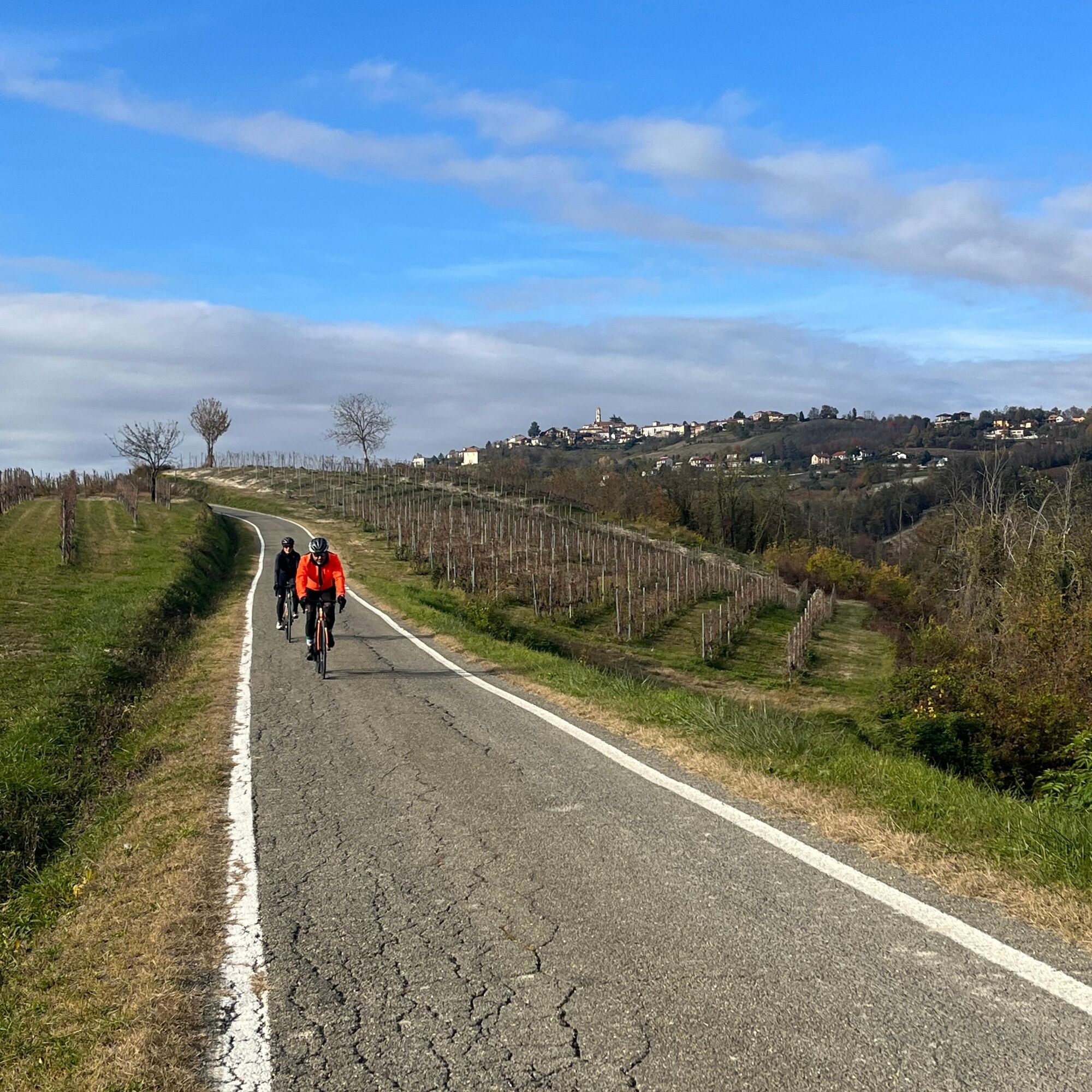

From the center of Turin proceed to the bank of the Po. After crossing the Po proceed to Moncalieri and turn left uphill onto Via Sabaudia. Follow signs for Cavoretto, then Revigliasco, Pecetto and Chieri. From Chieri use the fast bicycle path to Riva di Chieri, then follow signs for Buttigliera d'Asti and Colle Don Bosco. Head toward Castelnuovo Don Bosco, passing through the hamlet of Morialdo. From Castelnuovo D.B. follow the main road to Moriondo, Arignano until Andezeno. Before entering Chieri turn right onto Via Ambuschetti and start the climb toward Baldissero and Superga. From the summit descend in the direction of Turin-Sassi. From here re-enter the city center on Corso Casale or along the compact dirt bike paths of the parks along the Po River.
Road or bicycle touring bike.
Exercise caution at crossings and the few sections on express roads. Avoid peak city traffic times.
The itinerary starts from the center of Turin
Parking at Piazzale Valdo Fusi
1
Don't miss the gastronomic products of the Chierese and Carmagnolese Food District.
Oblíbené prohlídky v okolí
-
CAMBIAN toward Riva presso Chieri
světloJízda na kole 22.8 km -
CHIERI - Among vineyards, hills and history toward the Abbey of Vezzolano.
středníSilniční kolo 58.6 km -
Gran Gravel Tour in the Oltre Collina Torinese in 4 stages
heavyCyklistika na velkou vzdálenost 230.6 km -
CHIERI - Ring toward Pavarolo, Montaldo T.se and Andezeno
středníJízda na kole 32.9 km -
CHIERI - Loop towards Riva presso Chieri
Jízda na kole 32.5 km -
Cycling between Arignano, Moriondo and Mombello
středníCyklistika na velkou vzdálenost 28.1 km -
Montiglio Monferrato - Parish church of San Lorenzo
středníTuristika 10.7 km -
Cycle hiking ride between Montaldo, Andezeno and Pavarolo
středníMountainbike 21.2 km -
Cycloexcursion ride around Chieri (TO)
středníMountainbike 25.6 km -
RING_CYCLOTURIST_TORINO_SOUTH - Day 5 - from Chieri to Casalborgone
středníCyklistika na velkou vzdálenost 29.7 km
Pěší turistika a stopování


Nenechte si ujít nabídky a inspiraci pro vaši příští dovolenou
Vaše e-mailová adresa byl přidán do poštovního seznamu.





