Navigace na stránkách
Pořiďte si tuto prohlídku do mobilního telefonu
Mapa
CHIERI - Among vineyards, hills and history toward the Abbey of Vezzolano.
střední
Silniční kolo
58.61 km
Naskenujte QR kód a spusťte navigaci v aplikaci bergfex.
QR Code
Pěší turistika a stopování

CHIERI - Among vineyards, hills and history toward the Abbey of Vezzolano.

Vzdálenost
58.6 km
Doba trvání
04:00 h
Ascent
760 hm
Hladina moře
235 - 541 m

Úroveň obtížnosti: 1

Stažení skladby
Mapa
CHIERI - Among vineyards, hills and history toward the Abbey of Vezzolano.
střední
Silniční kolo
58.61 km

Fotografie našich uživatelů

Hilly ride starting from the historic center of Chieri. After an initial flat section that leads to Pessione di Chieri (historic headquarters of Martini & Rossi that can be visited by appointment), continue...

Popis

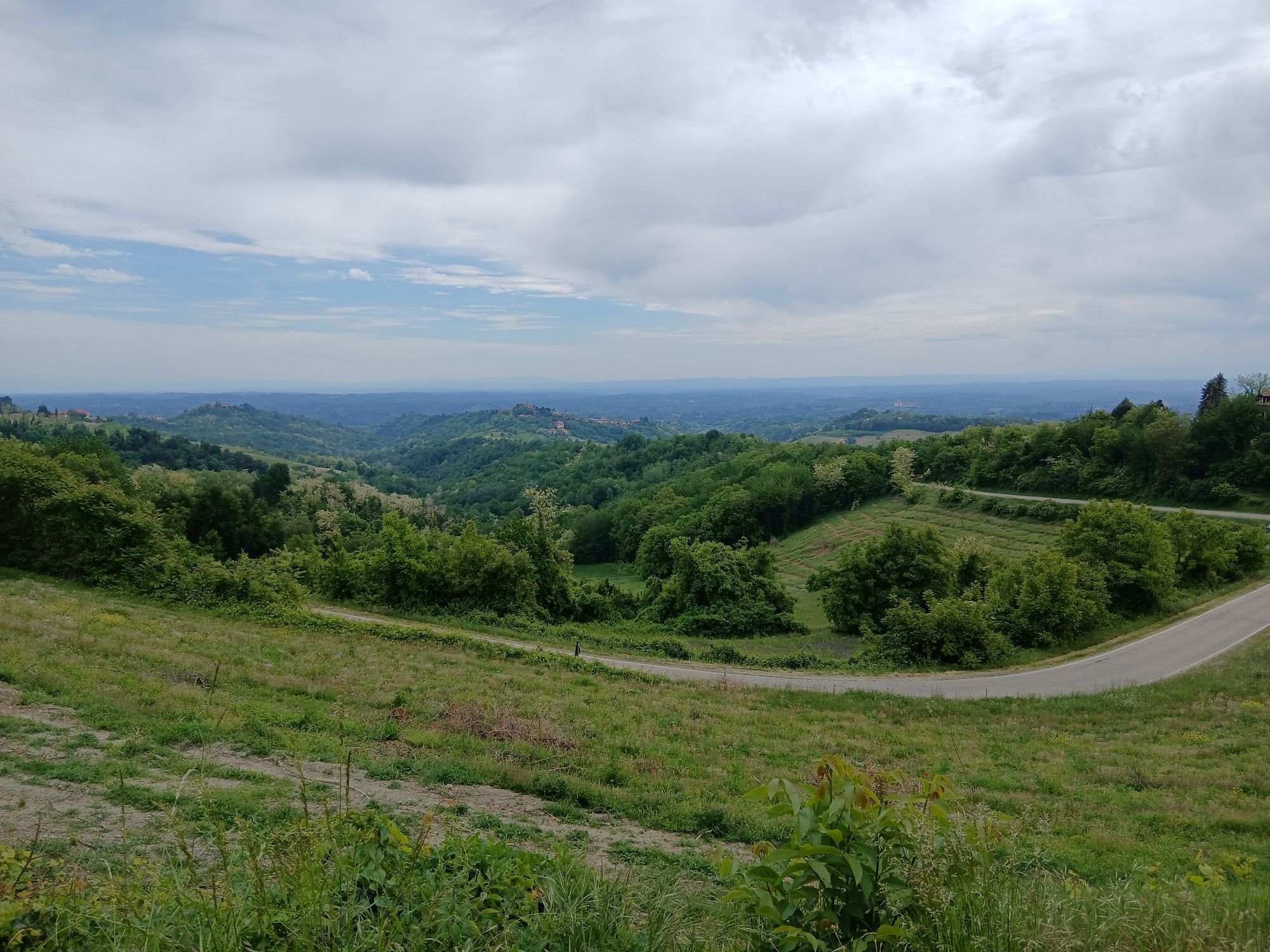
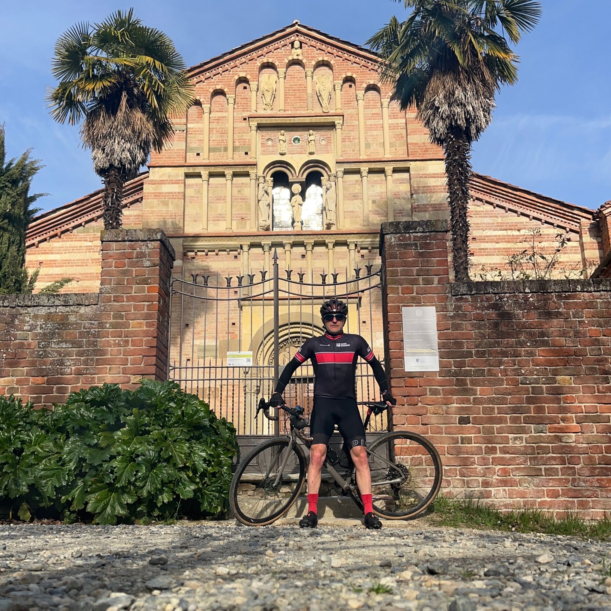
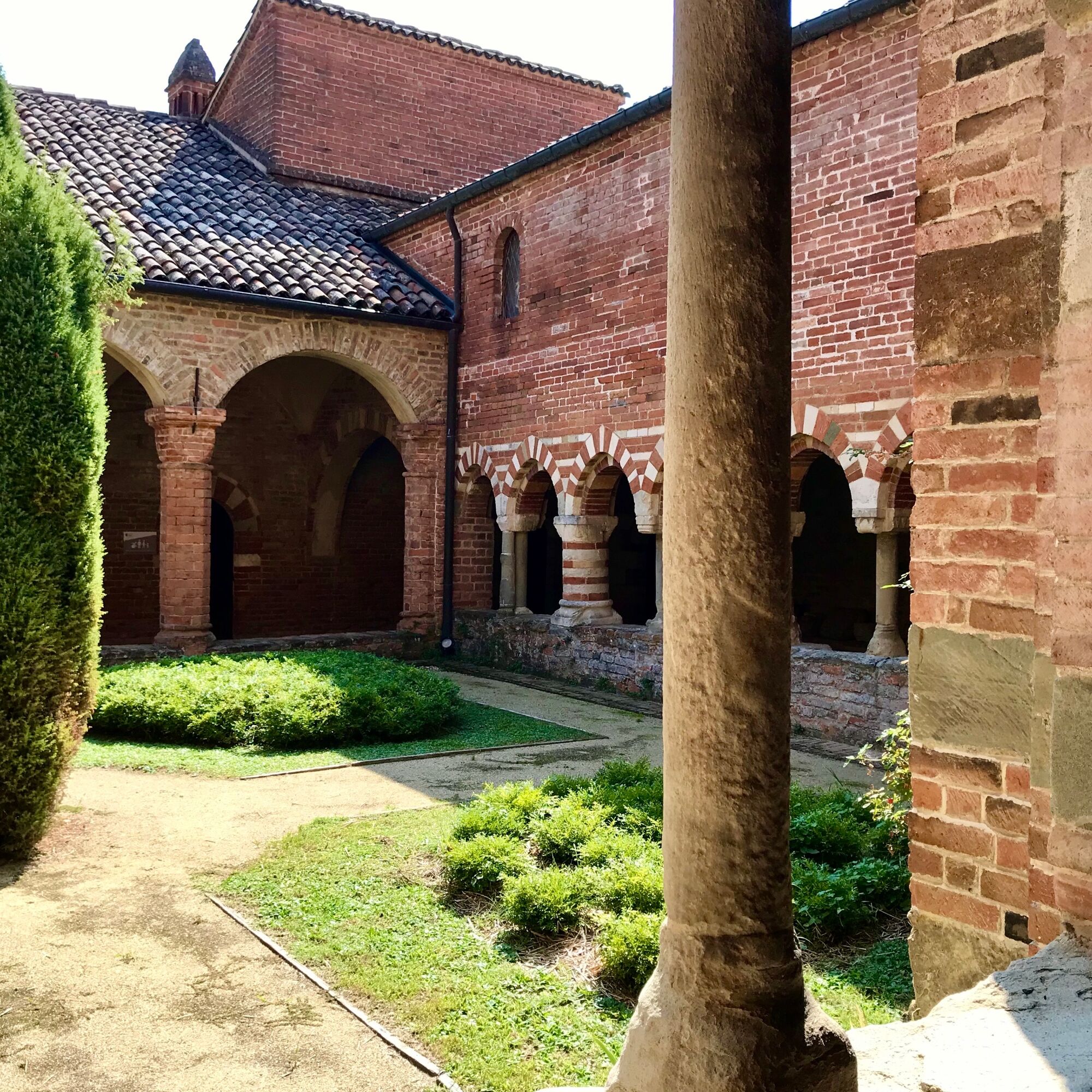
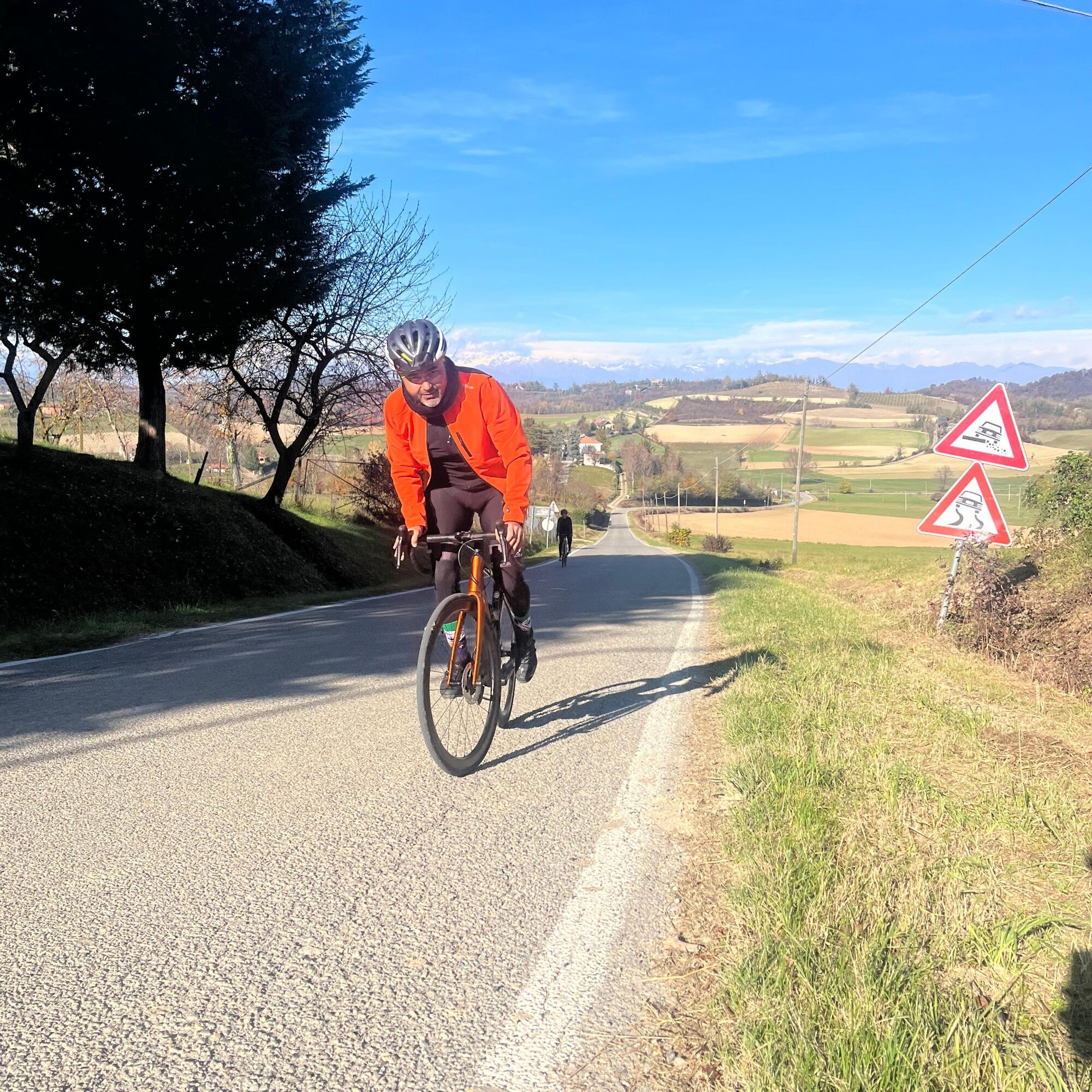
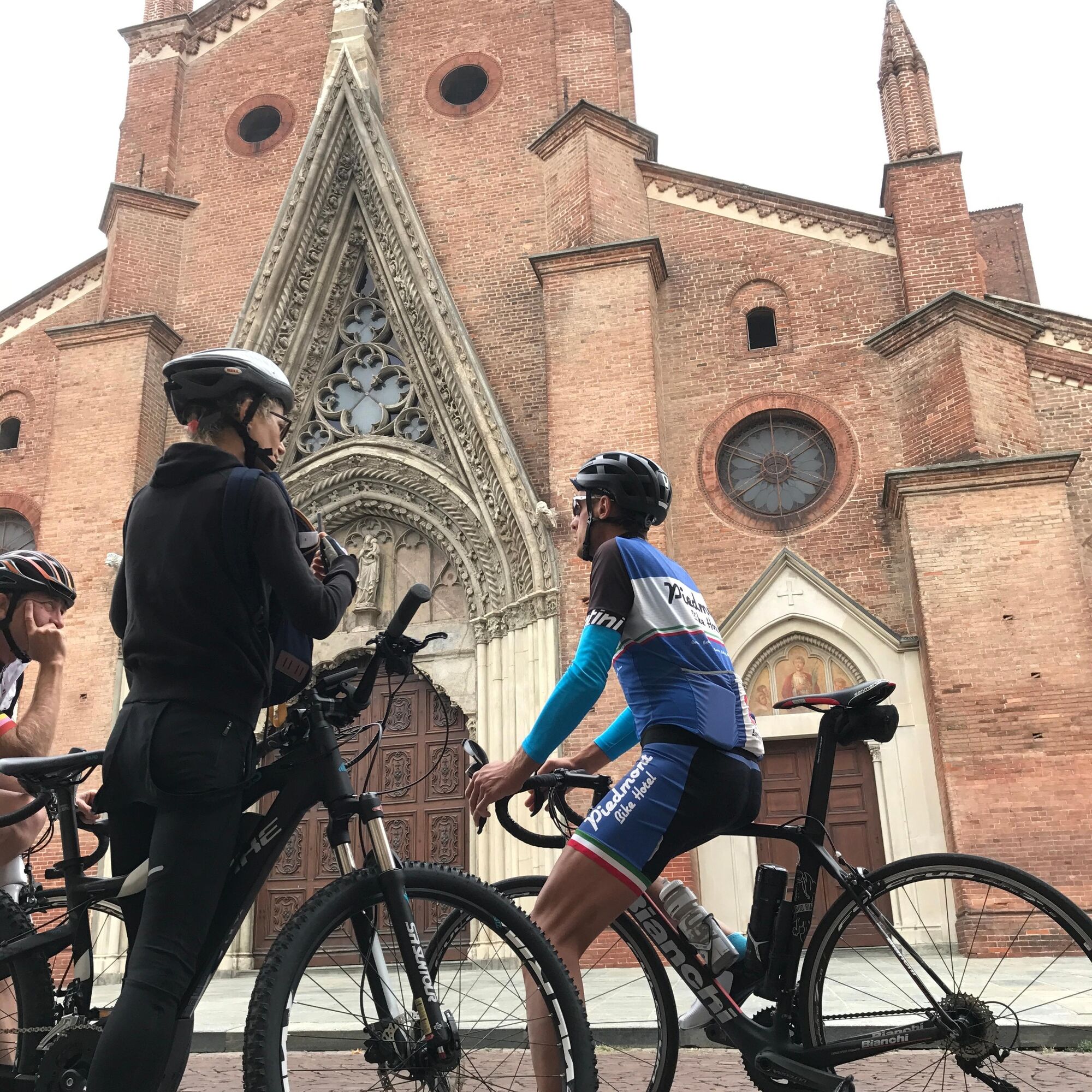
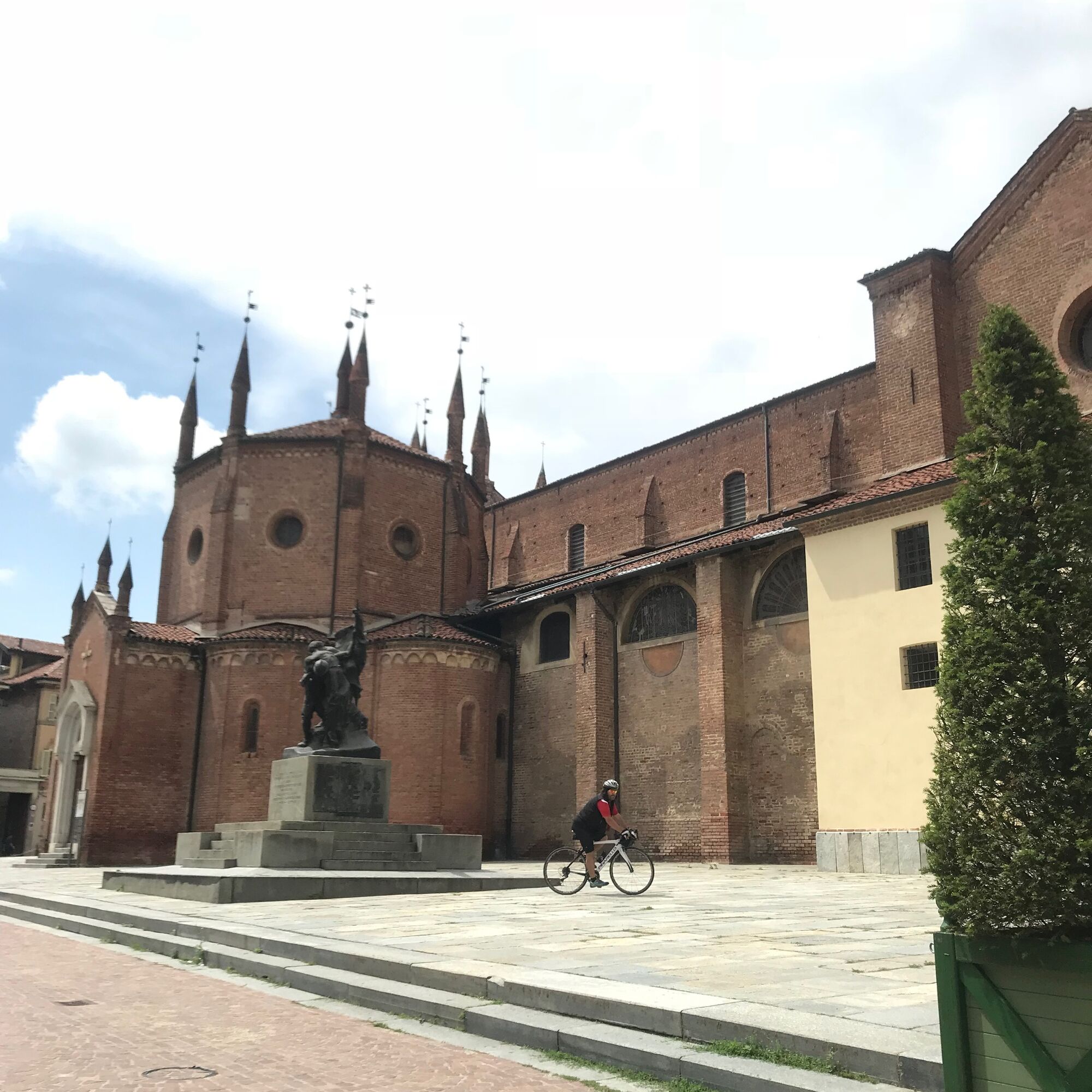
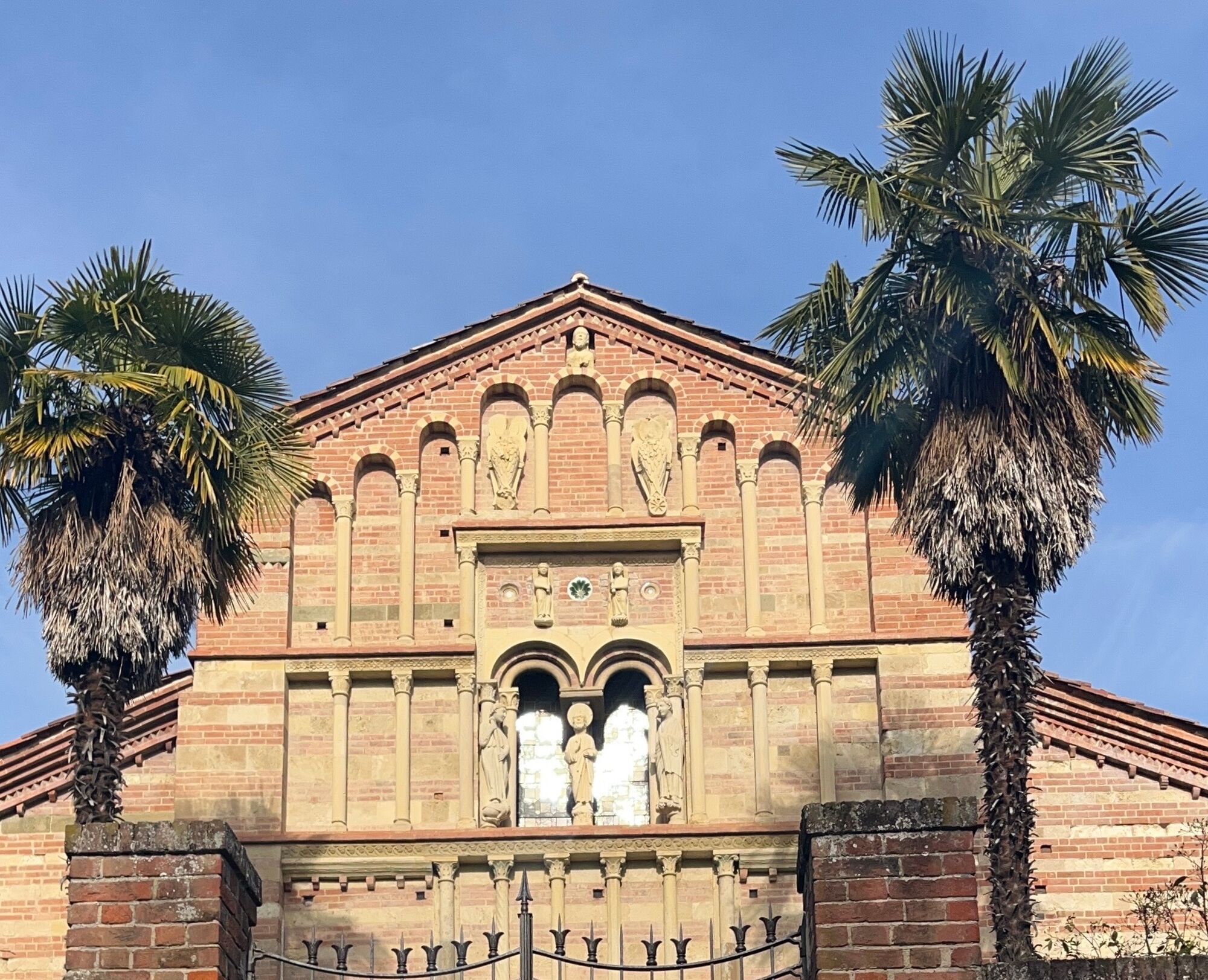
Hilly ride starting from the historic center of Chieri. After an initial flat section that leads to Pessione di Chieri (historic headquarters of Martini & Rossi that can be visited by appointment), continue toward Riva presso Chieri and Arignano. With a small detour you can overlook Lake Arignano, before climbing into the center of town, next to the Rocca di Arignano, an ancient medieval castle. The road becomes undulating as you continue toward Moncucco Torinese among hazel groves and vineyards. An essential stop is the Romanesque-Gothic-style Abbey of Santa Maria di Vezzolano near Albugnano, the highest elevation point of the tour. The small road from Albugnano to Pino d'Asti and then to Castelnuovo Don Bosco offers fantastic views of both the hills and the Alpine arc. Leaving Castelnuovo Don Bosco with a short climb to Moriondo T.se, the return to Chieri is substantially flat.

Trasa
Chieri
(285 m)
Město
0.0 km
Santa Margherita di Cortona
(260 m)
Místo konání bohoslužeb
9.0 km
Cappella di San Bernardino da Siena
(375 m)
Místo konání bohoslužeb
24.5 km
Cappella della Beata Vergine d′Oropa
(355 m)
Místo konání bohoslužeb
27.9 km
Cappella di San Francesco Saverio e San Grato
(366 m)
Místo konání bohoslužeb
37.4 km
Casa natale e cappella di San Giuseppe Cafasso
(254 m)
Místo konání bohoslužeb
40.7 km
San Rocco
(316 m)
Místo konání bohoslužeb
43.3 km
Trasa
Mapa
CHIERI - Among vineyards, hills and history toward the Abbey of Vezzolano.
střední
Silniční kolo
58.61 km
Chieri
(285 m)
Město
0.0 km
Livorna
(253 m)
Vypořádání
3.9 km
Pessione
(251 m)
Vesnice
5.3 km
Santa Famiglia di Nazaret
(251 m)
Místo konání bohoslužeb
5.3 km
Riva Presso Chieri
(258 m)
Vesnice
7.2 km
Santa Margherita di Cortona
(260 m)
Místo konání bohoslužeb
9.0 km
San Giovanni
(275 m)
Vypořádání
11.9 km
Oriassolo
(287 m)
Vypořádání
13.7 km
Borgata Soma
(301 m)
Vypořádání
15.0 km
Arignano
(298 m)
Vesnice
16.3 km
Tetti Chiaffredo
(338 m)
Vypořádání
20.4 km
Cascina Roasine
(323 m)
Vypořádání
21.0 km
Barbaso
(373 m)
Vypořádání
22.1 km
Cappella di San Bernardino da Siena
(375 m)
Místo konání bohoslužeb
24.5 km
Moncucco Torinese
(400 m)
Vesnice
25.3 km
Cappella della Beata Vergine d′Oropa
(355 m)
Místo konání bohoslužeb
27.9 km
Ristorante Conrado
(392 m)
Restaurace
29.0 km
Berzano di San Pietro
(392 m)
Vesnice
29.0 km
Ristorante Sette Colli
(392 m)
Restaurace
29.1 km
Ristoro dell'Abbazia
(438 m)
Restaurace
33.1 km
Chiesa parrocchiale di San Giacomo
(547 m)
Místo konání bohoslužeb
34.6 km
Belvedere Motta
(550 m)
Úhel pohledu
34.8 km
Il Gelsomino
(535 m)
Restaurace
34.9 km
Albugnano
(539 m)
Vesnice
34.9 km
Al Gottardo
(461 m)
Restaurace
35.6 km
Cappella di San Francesco Saverio e San Grato
(366 m)
Místo konání bohoslužeb
37.4 km
Pino d'Asti
(394 m)
Vesnice
37.4 km
Fornaca
(274 m)
Vypořádání
40.4 km
Casa natale e cappella di San Giuseppe Cafasso
(254 m)
Místo konání bohoslužeb
40.7 km
La Crus
(238 m)
Vypořádání
40.8 km
Albergo Ristorante Ciocca
(235 m)
Restaurace
41.2 km
Castelnuovo Don Bosco
(235 m)
Vesnice
41.2 km
Cassiopea
(238 m)
Restaurace
41.2 km
Caretto
(239 m)
Vypořádání
41.2 km
Il Brindo
(235 m)
Restaurace
41.3 km
San Rocco
(316 m)
Místo konání bohoslužeb
43.3 km
Moriondo Torinese
(321 m)
Vesnice
43.5 km
Arignano
(298 m)
Vesnice
46.5 km
Borgata Soma
(301 m)
Vypořádání
47.5 km
Oriassolo
(287 m)
Vypořádání
48.7 km
San Giovanni
(275 m)
Vypořádání
50.5 km
Riva Presso Chieri
(258 m)
Vesnice
53.6 km
Chieri
(275 m)
Železniční stanice
58.3 km
Chieri
(285 m)
Město
58.5 km
Informace o prohlídce

Asphalt route ideal for a beautiful road bike ride or a challenging bicycle tour.

Technologie
1 / 6
Stav
3 / 6
Krajina
5 / 6
Zkušenosti
5 / 6
Nejlepší roční období
Led
Úno
Bře
Dub
Kvě
Čen
Čec
Srp
Zář
Říj
Lis
Pro
Sdílet prohlídku
Mapa
CHIERI - Among vineyards, hills and history toward the Abbey of Vezzolano.
střední
Silniční kolo
58.61 km
Chyba
Došlo k chybě. Zkuste to prosím znovu.
Informace o trase
Trasa

From Chieri, follow pisa bicycle path to Pessione. From Pessione follow directions to Riva di Chieri and then Arignano. From Arignano, follow north toward Barbaso and then Moncucco.

Geologické zajímavosti

Ano

Vybavení

Route can be tackled with any bicycle. Recommended road or gravel bike.

Další informace a tipy
Úroveň obtížnosti

1

Tipy

Check opening hours if you want to visit the interior of the Abbey of St. Mary of Vezzolano.

Pěší turistika a stopování

Pěší turistika a stopování

Pěší turistika a stopování
Více než 550.000 návrhů výletů, podrobné mapy a intuitivní plánovač tras dělají z aplikace nezbytnou výbavu pro všechny milovníky přírody.
bergfex