







Hochwart summit hike
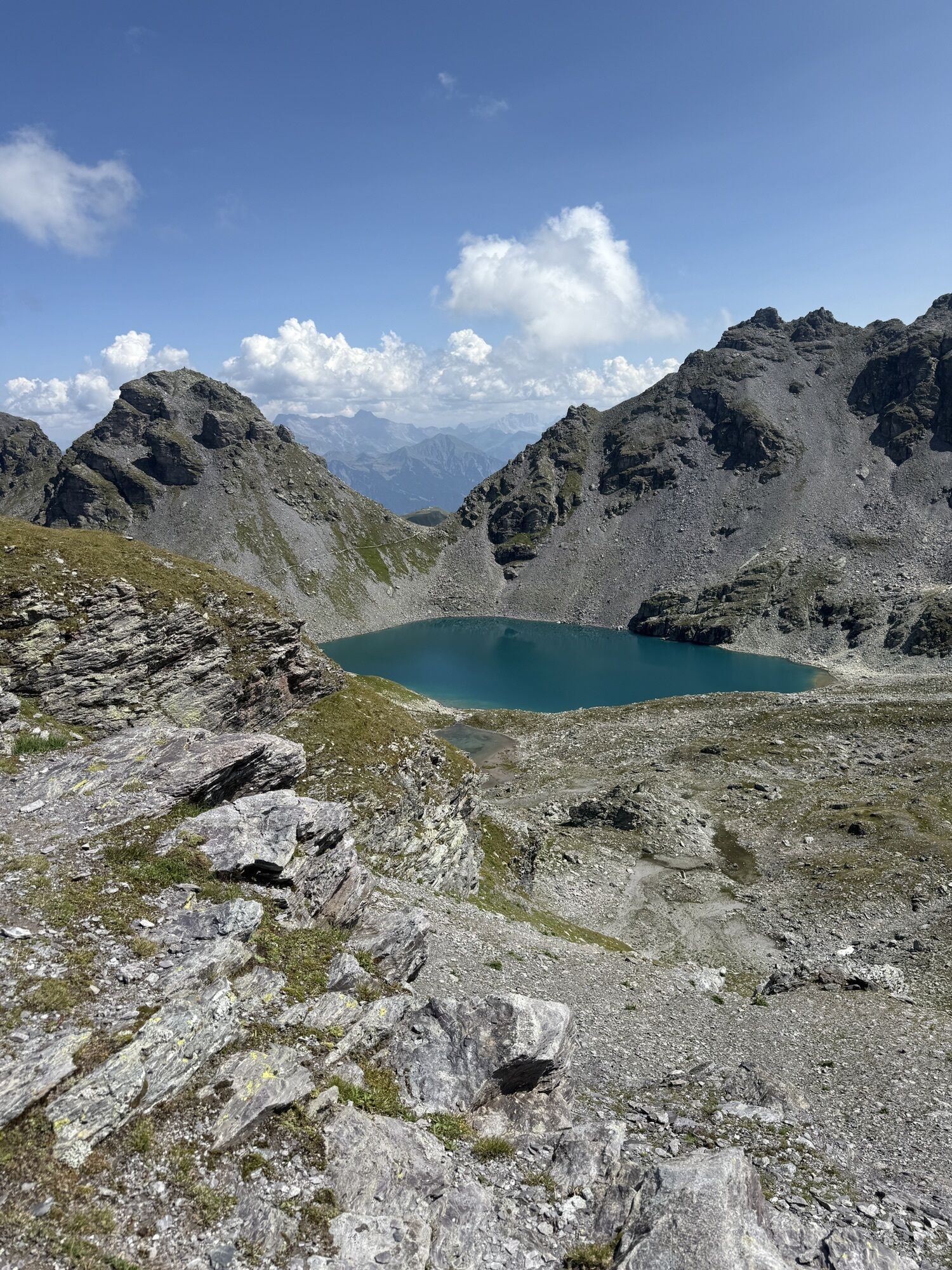
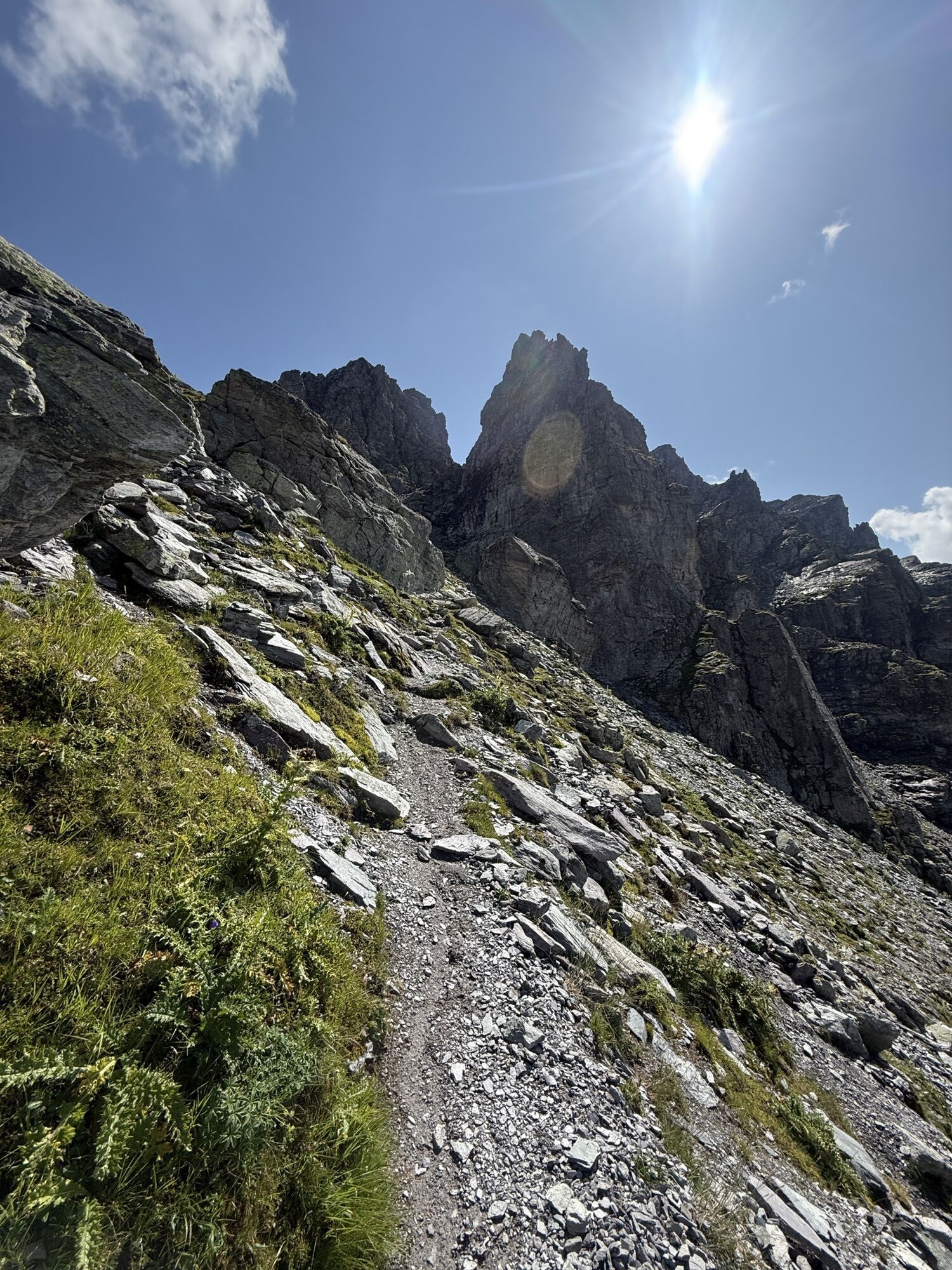
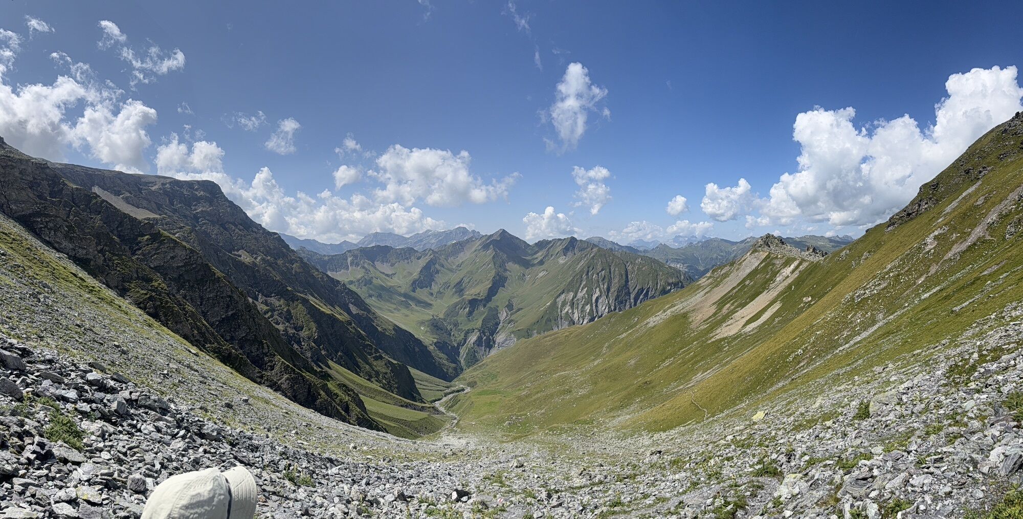
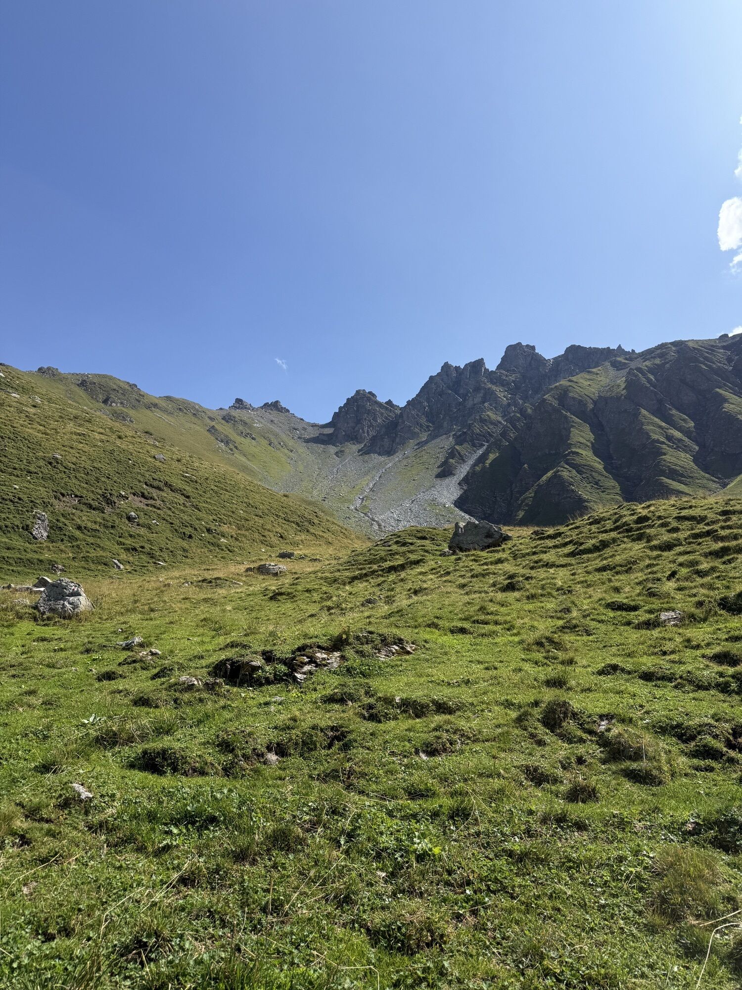
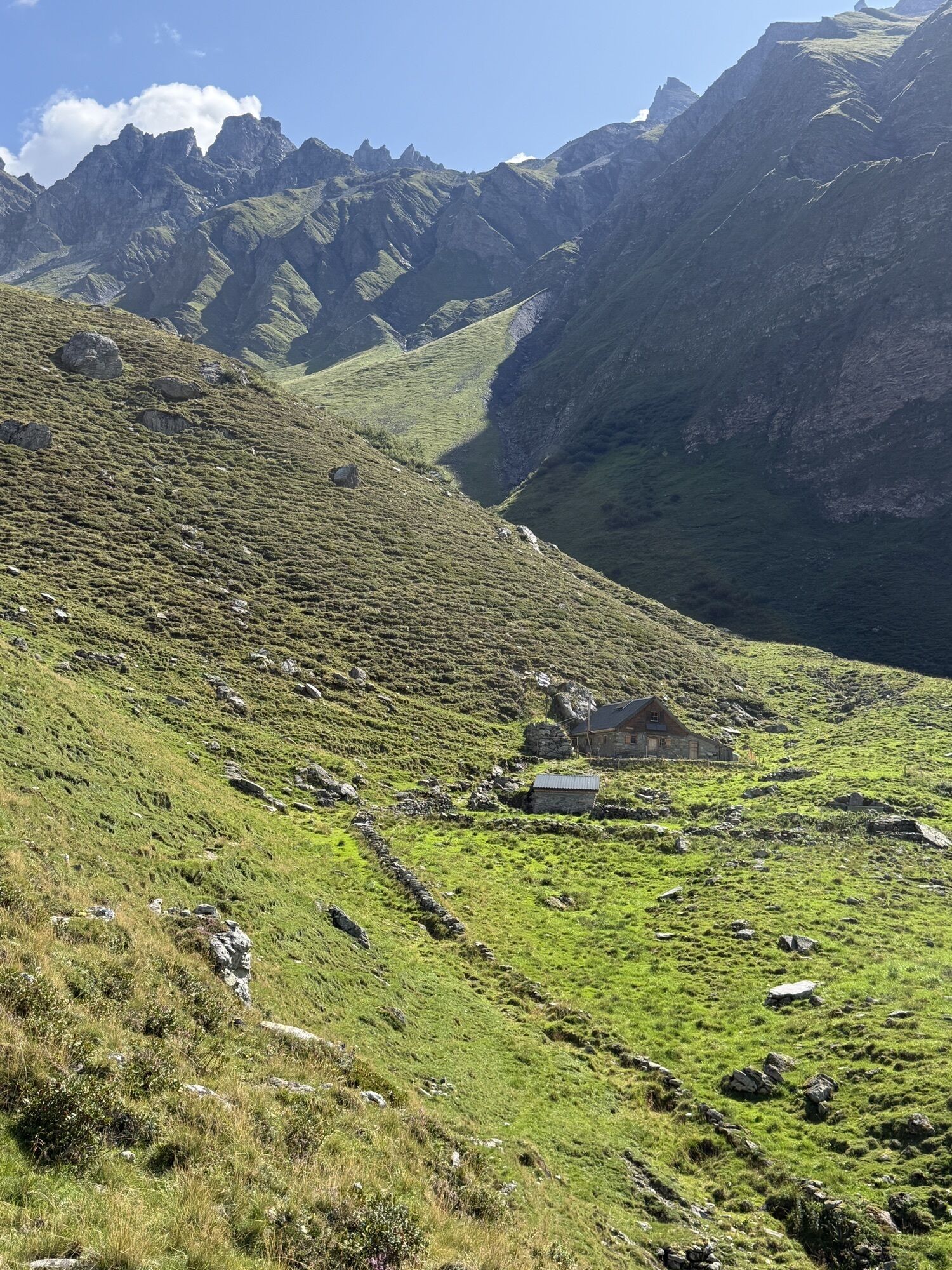
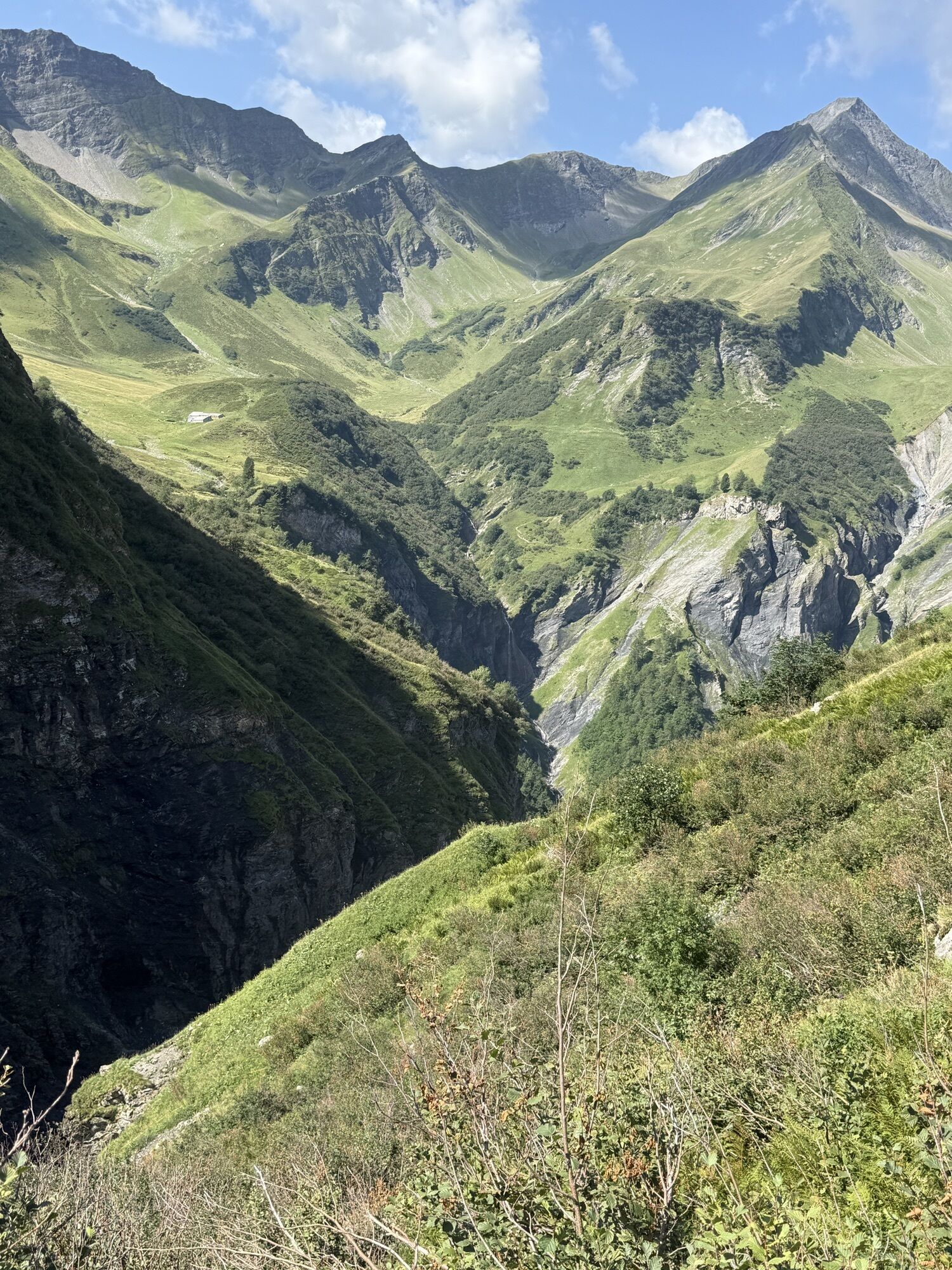
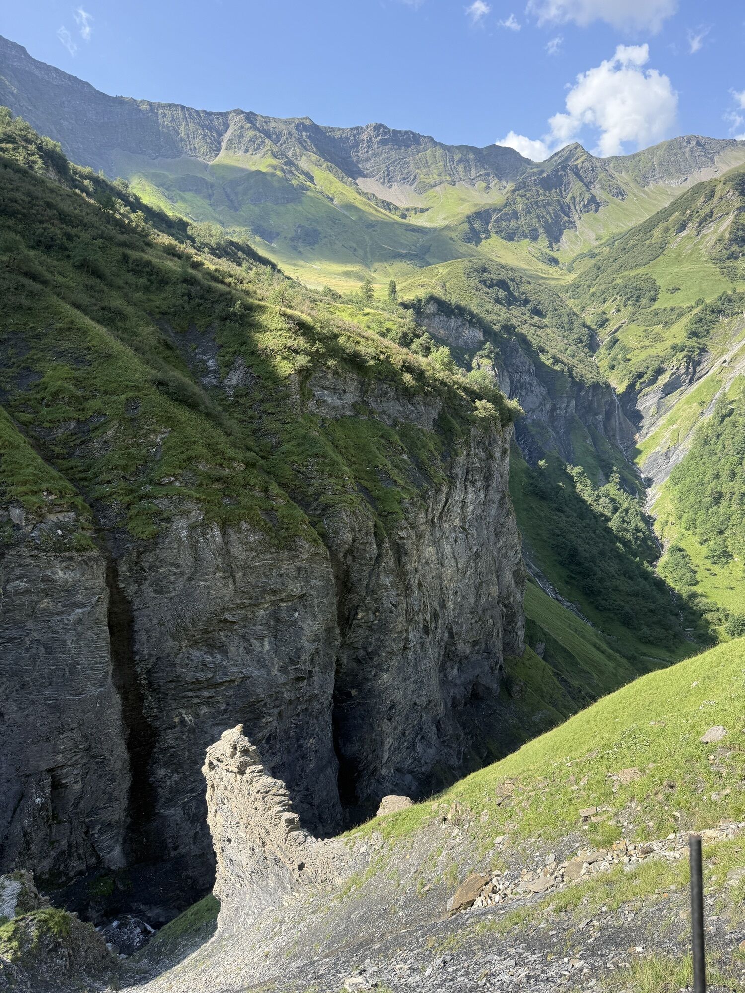
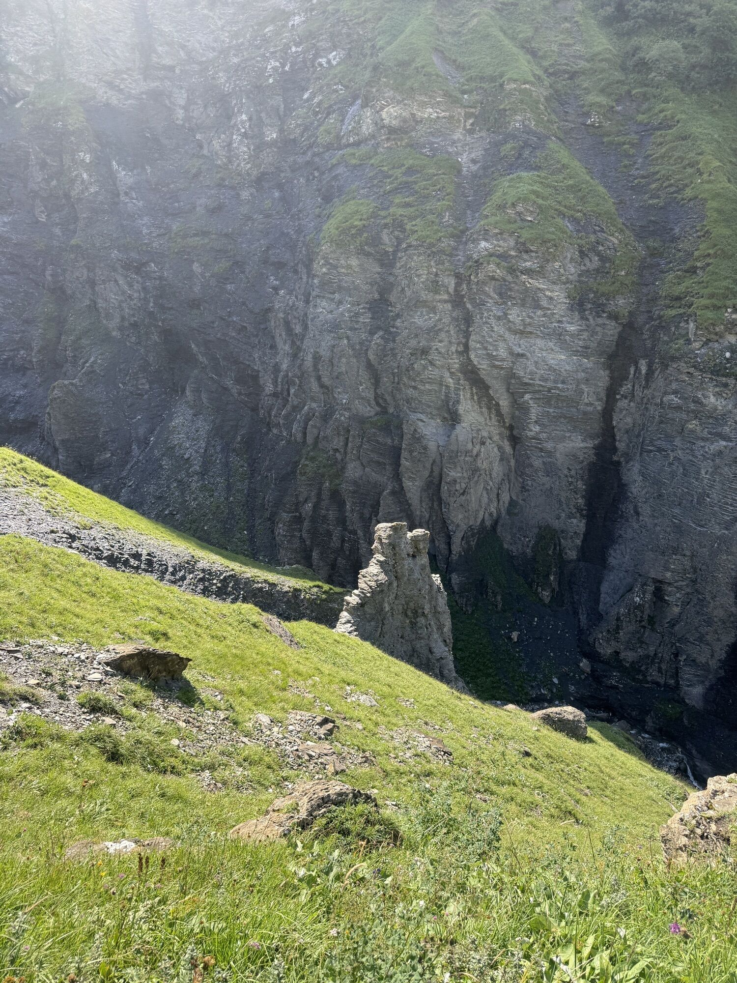
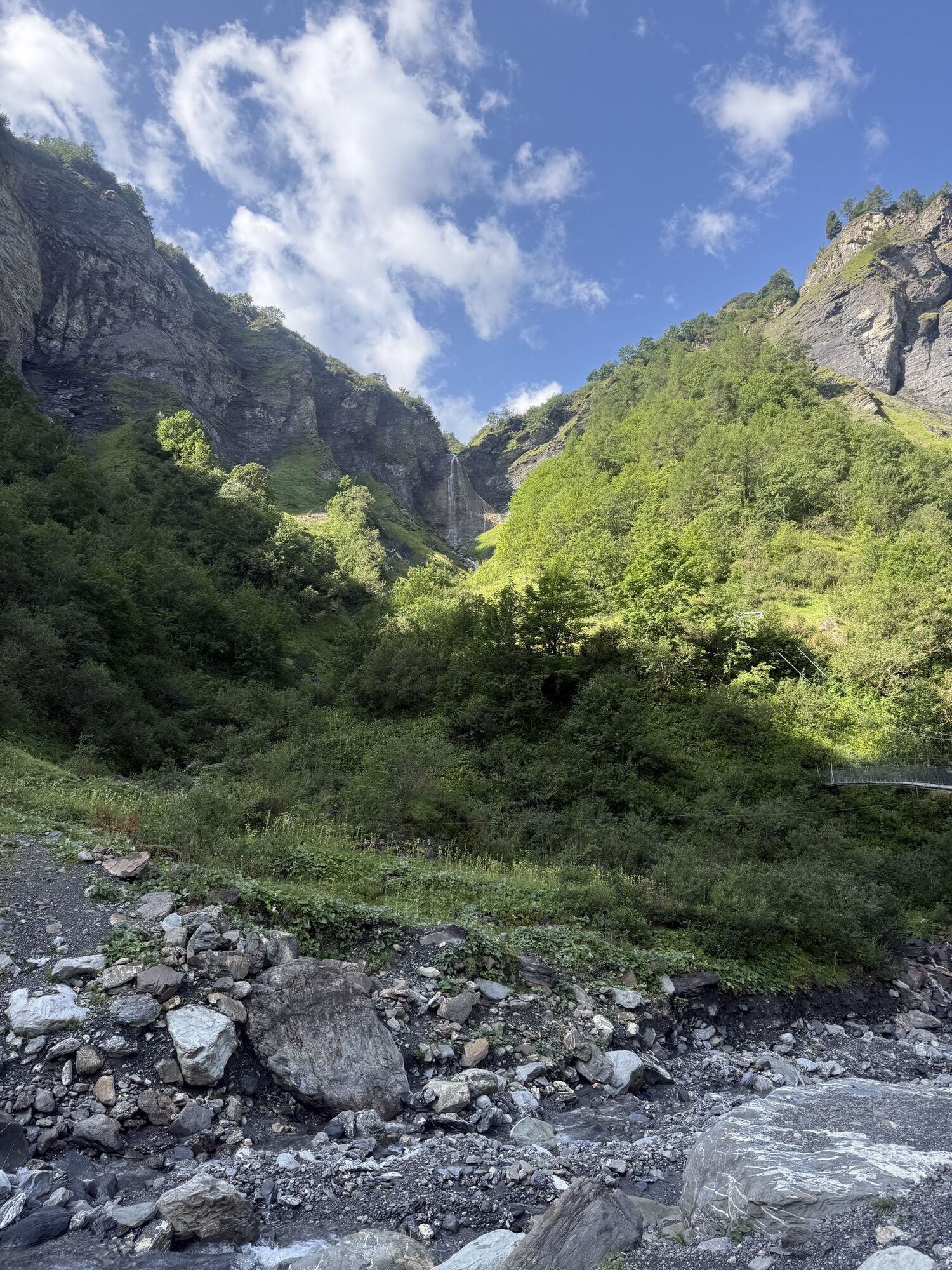
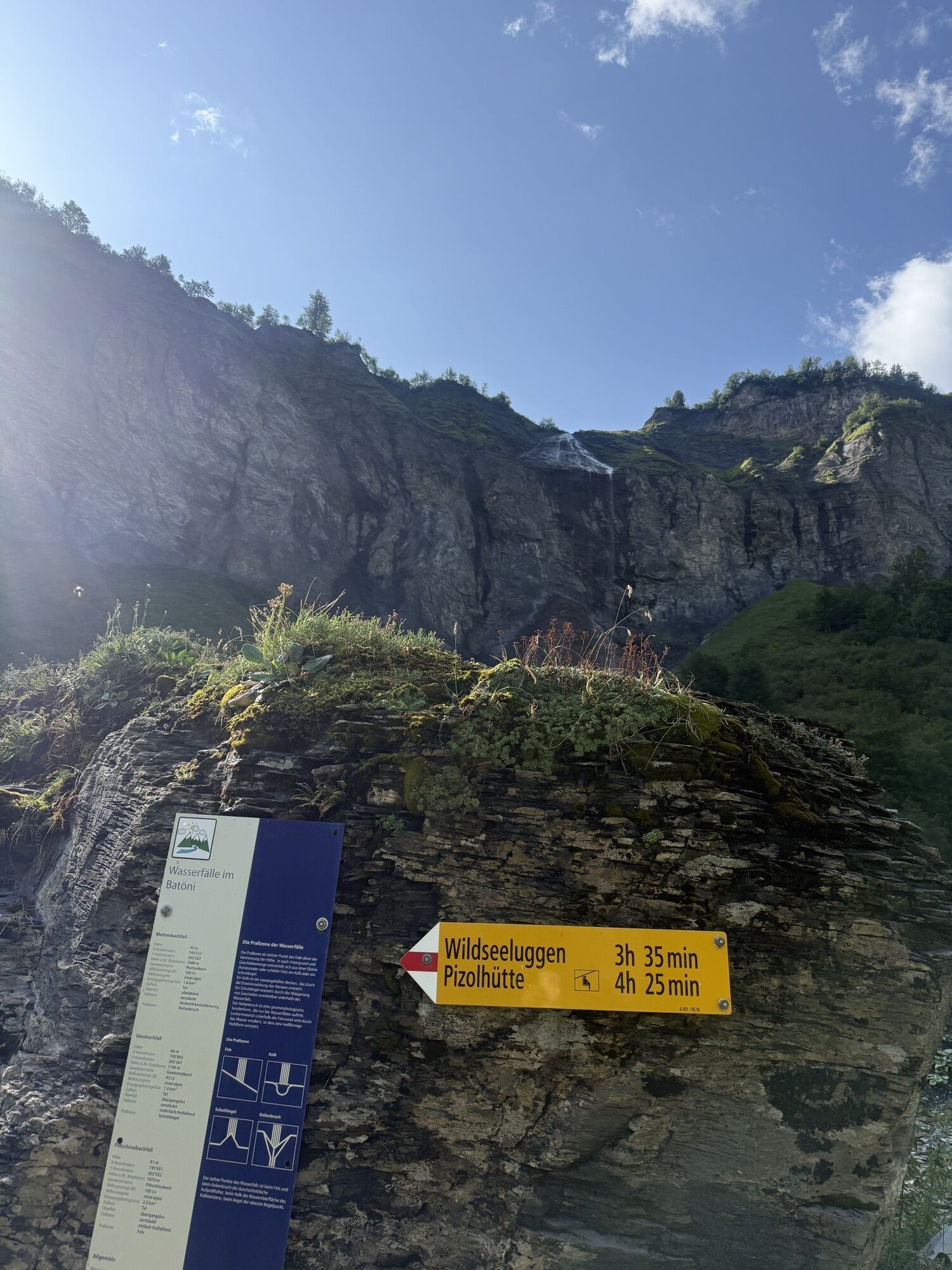
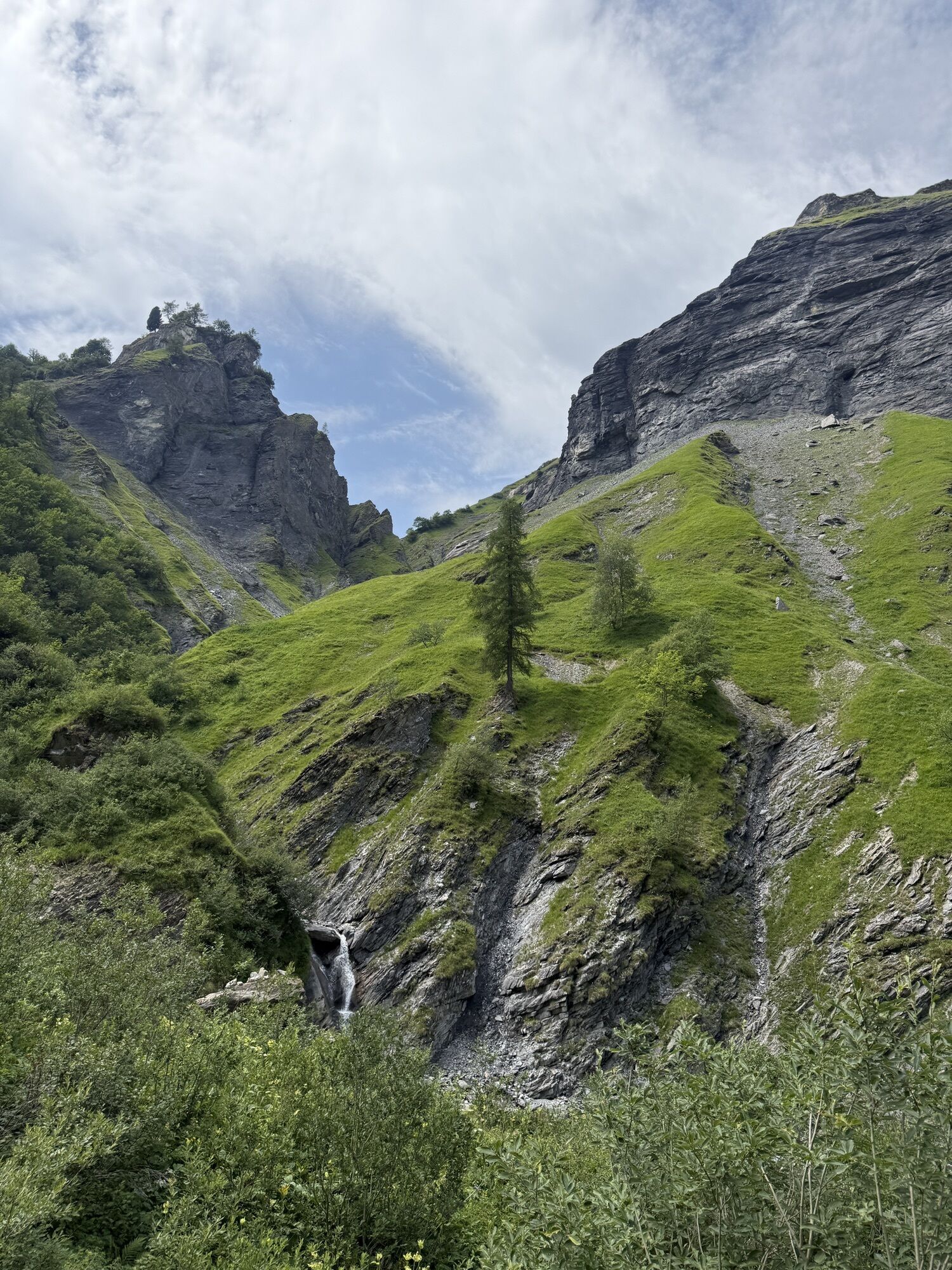
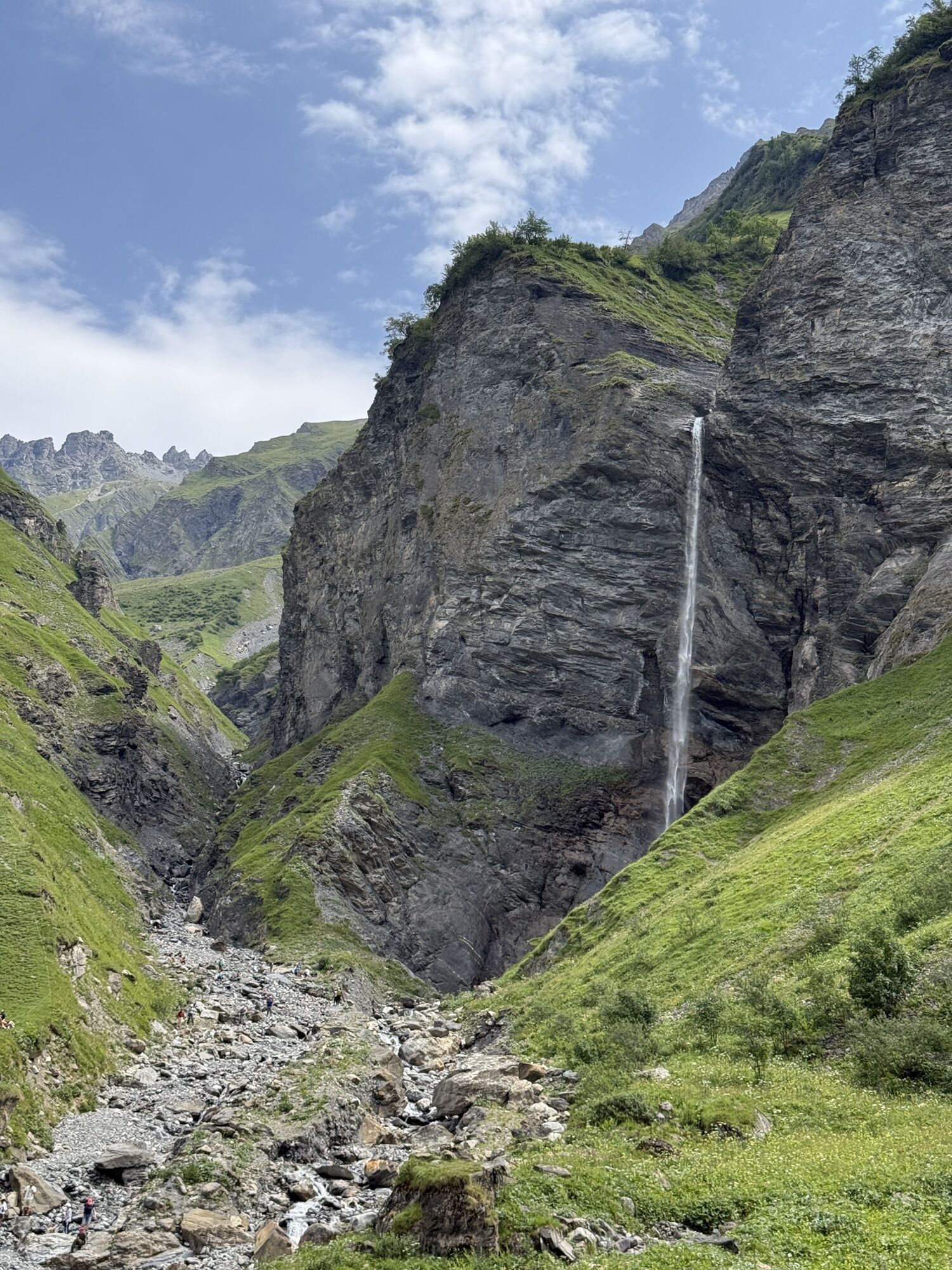
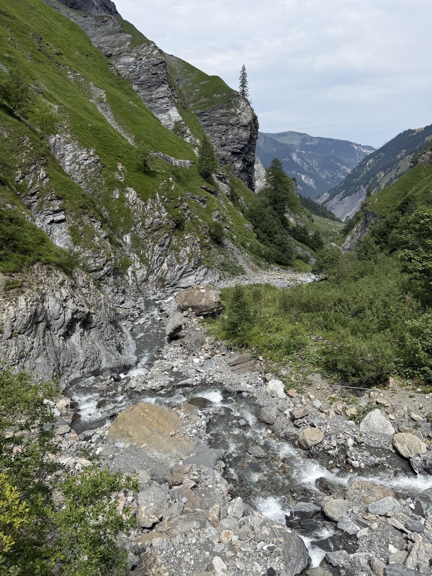
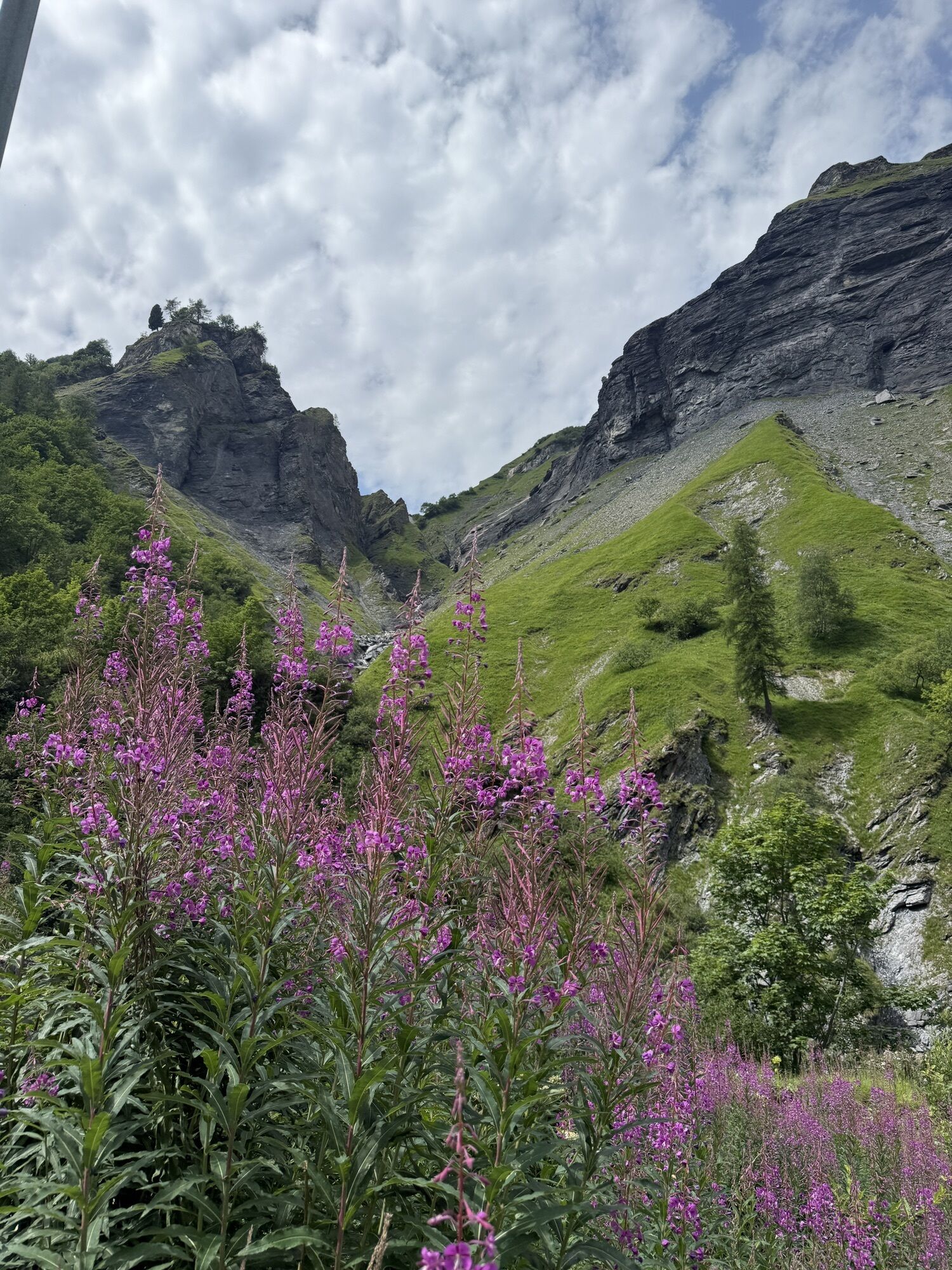
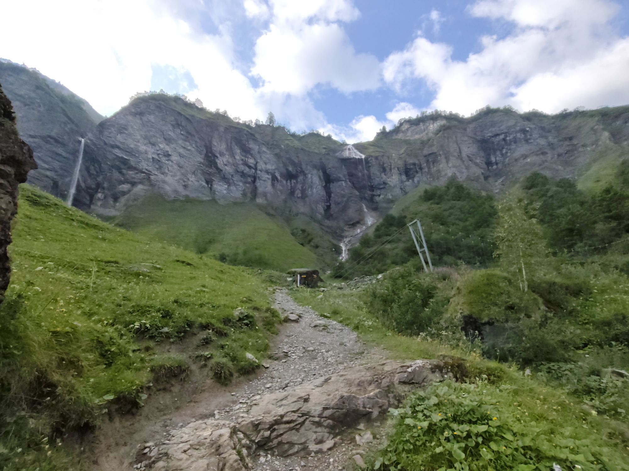
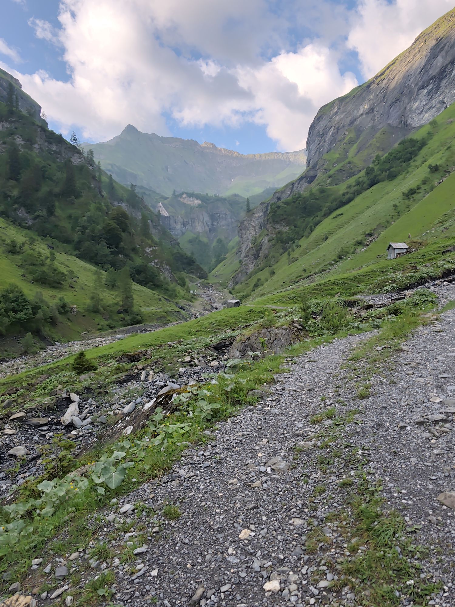
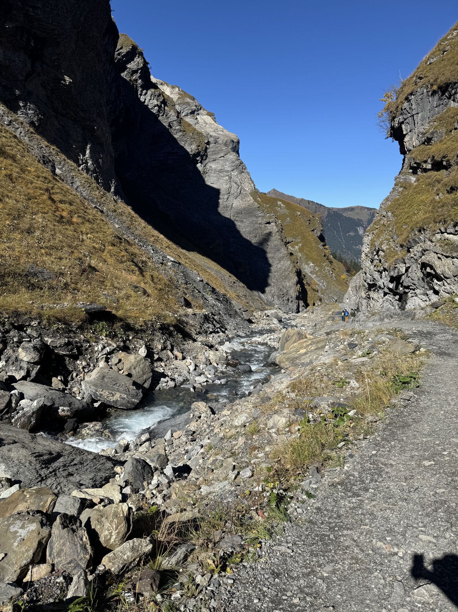
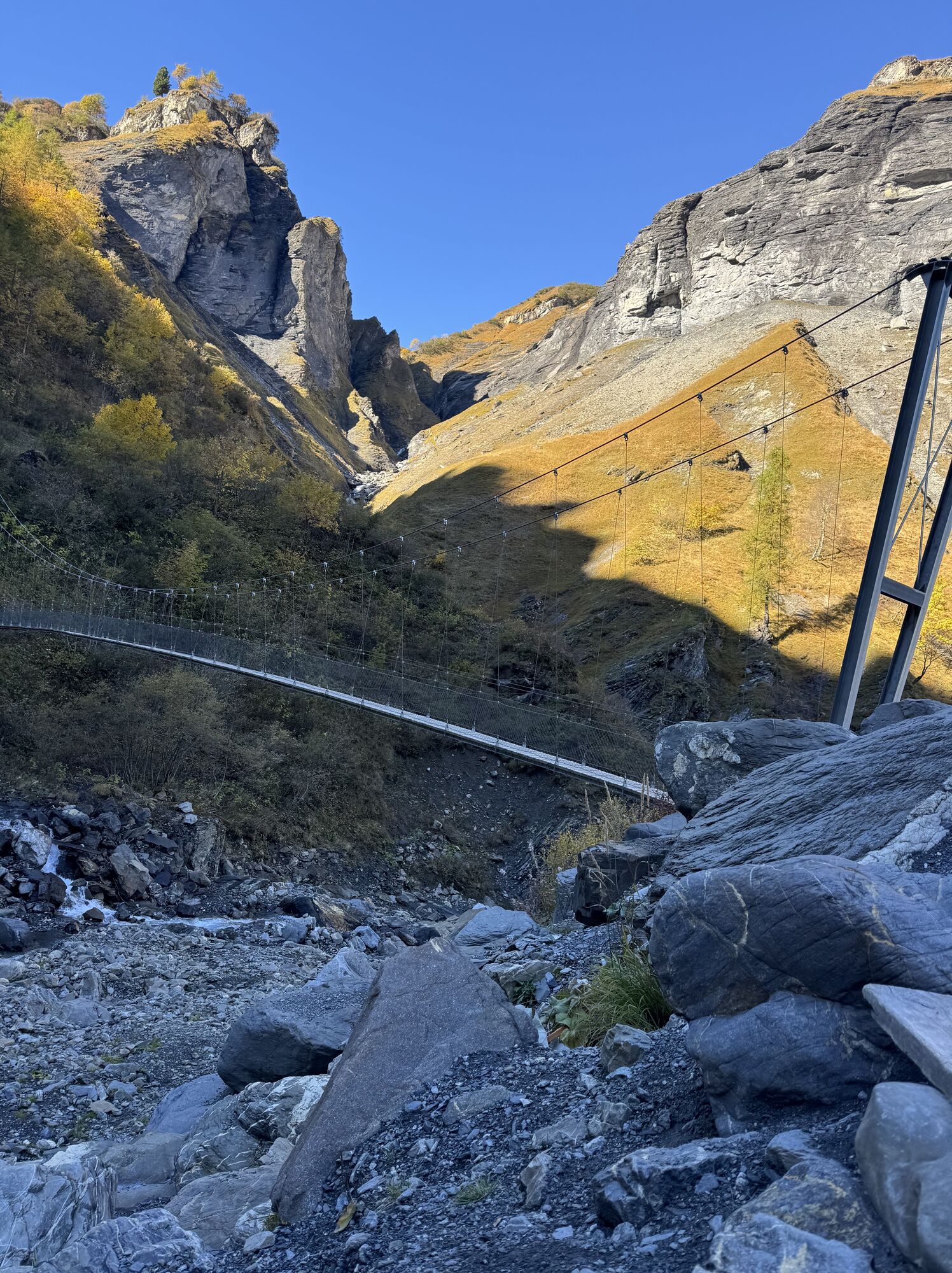
The hike starts in Weisstannen. Along the Gufelbach, the path leads to the impressive Batöni waterfall arena. Upon reaching the power spot, we hike alongside the Lavtinabach up to the saddle. Here there...
The hike starts in Weisstannen. Along the Gufelbach, the path leads to the impressive Batöni waterfall arena. Upon reaching the power spot, we hike alongside the Lavtinabach up to the saddle. Here there is a phenomenal view of the turquoise Wildsee. From there, it is only a few altitude meters until we reach the summit. From the Hochwart, there is an impressive view of the Schottensee, the Schwarzplangg, the Pizol peak, and into the Gaffara valley, where up to 600 sheep graze in the summer months. There is also an impressive vista over the St. Gallen Rhine Valley to Lake Constance.

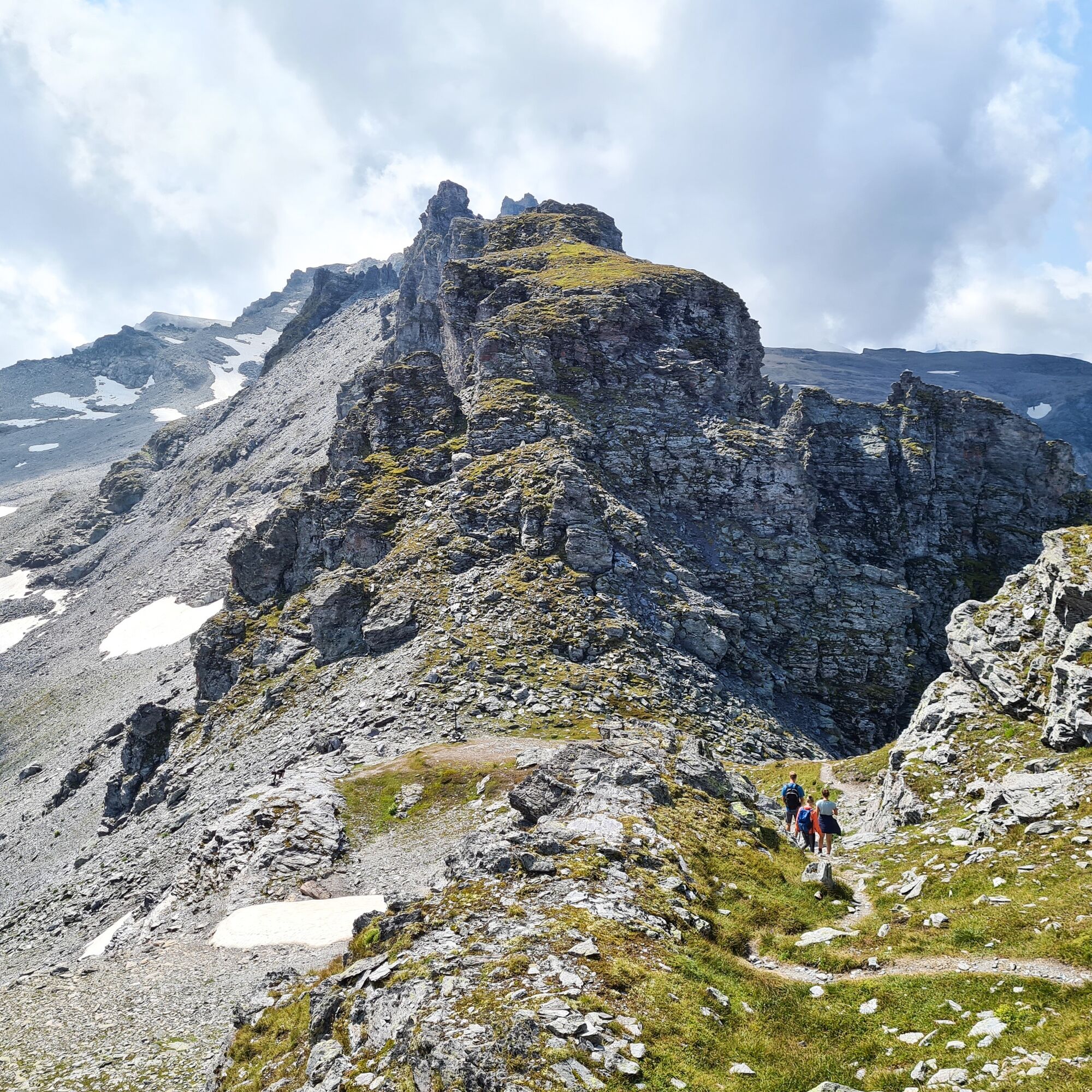
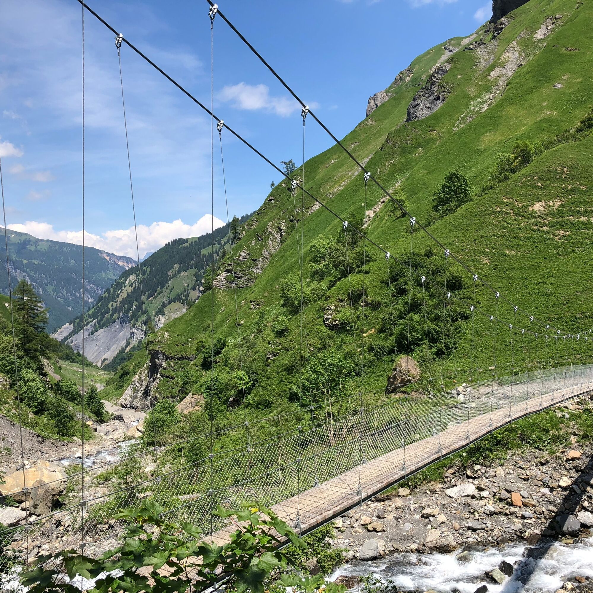
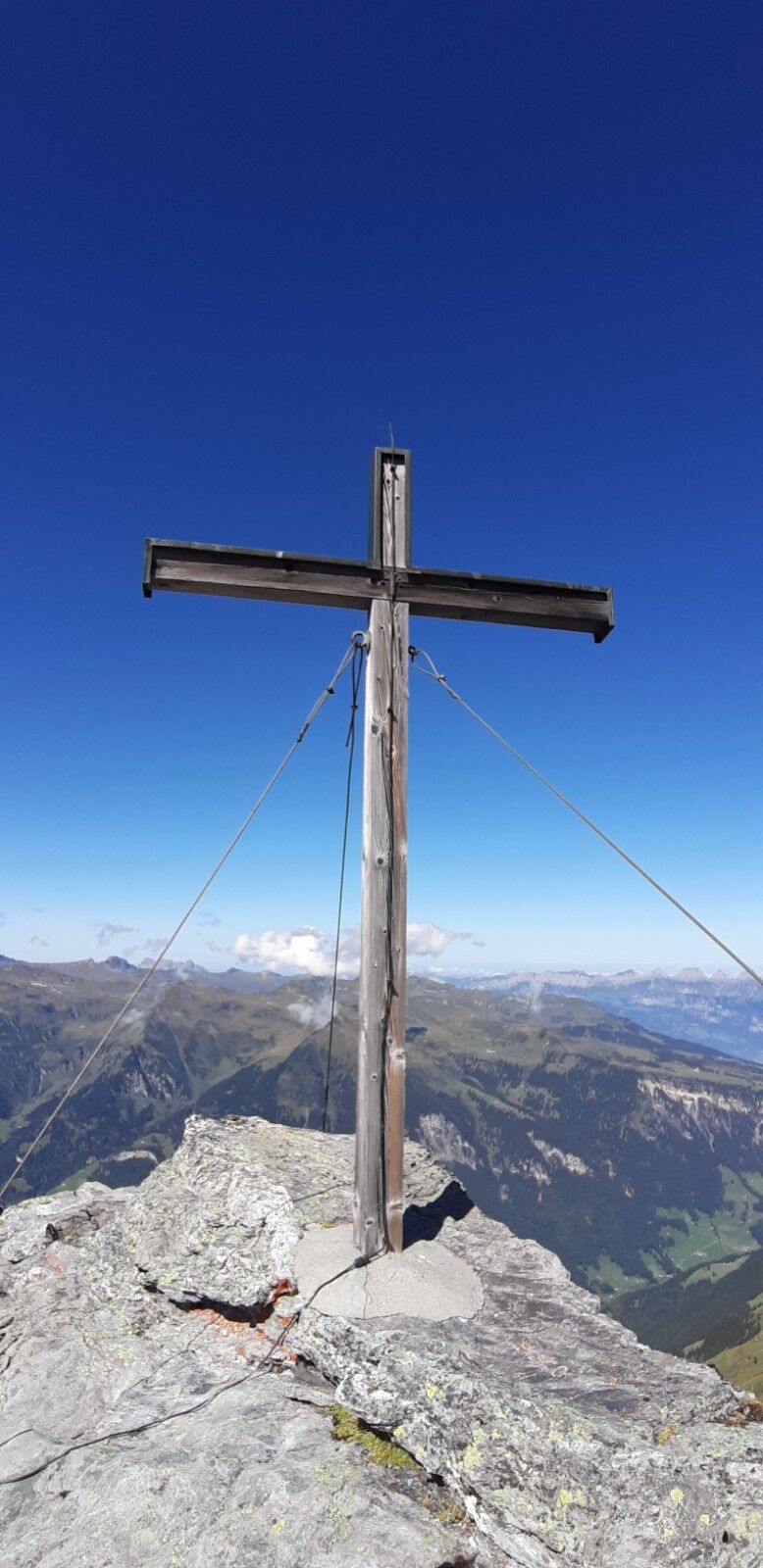
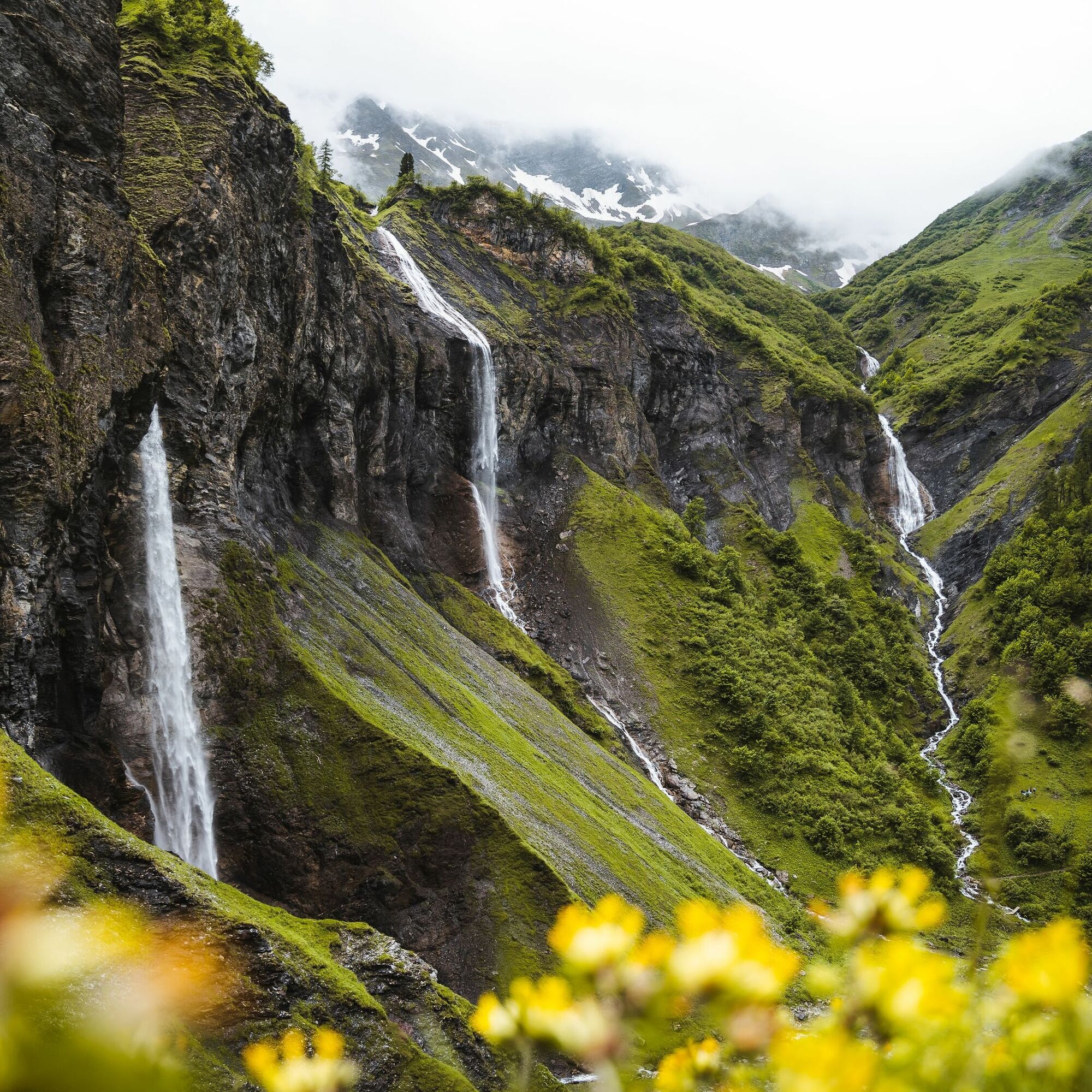
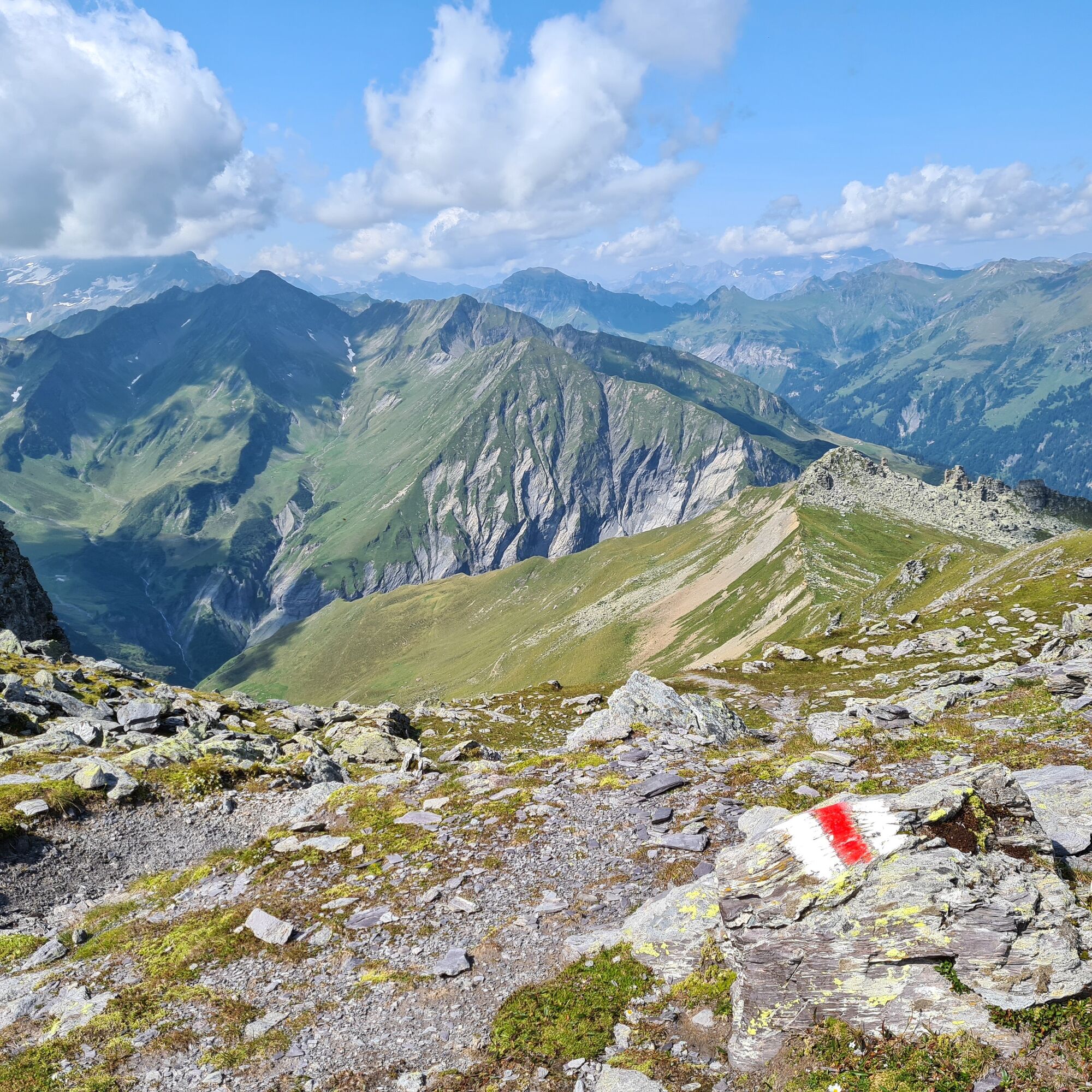

On foot, it goes from Weisstannen along the Gufelbach to Batöni, to the impressive waterfall arena with its three huge waterfalls. Along the lively stream, the power spot path gently ascends into the forest, past meadows to two large stones that look like a mighty double stone, as they stand close together. The route continues to the Batöni waterfall arena. From left to right, we have the Piltschinabachfall, the Sässbachfall, and the Muttenbachfall in front of us, which measure 81, 86, and 45 meters in length respectively. At the waterfalls, it goes up to the left towards Stofel. Along the Lavtinabach, the path leads up to the Lavtinasattel. Now it is only a few steps to the Hochwart.
Ano
Day hiking backpack, sturdy and comfortable footwear, weather-appropriate and durable clothing in a layering system, possibly telescopic poles, sun and rain protection, provisions and drinking water, first aid kit, pocket knife, mobile phone, possibly headlamp, map material
Motorway exit Sargans/Mels, then follow the signpost to Mels/Weisstannen.
By train to Sargans, then by bus from Sargans station to the Pizolpark stop and then change to bus 432 to Weisstannen.
Public parking spaces in Weisstannen are limited (paid)
Can you see the shape of the glacier from back then? Enjoy the panorama and let yourself be enchanted by that time.
 Získejte přehled
Vždy živě na místě s více než 9 500 webkamerami. bergfex Jako uživatel Pro si nyní můžete zobrazit odpovídající webové kamery pro mnoho prohlídek v aplikaci prohlídky z. Můžete si tak přímo prohlédnout aktuální podmínky.
Získejte přehled
Vždy živě na místě s více než 9 500 webkamerami. bergfex Jako uživatel Pro si nyní můžete zobrazit odpovídající webové kamery pro mnoho prohlídek v aplikaci prohlídky z. Můžete si tak přímo prohlédnout aktuální podmínky.

Oblíbené prohlídky v okolí
-
4.7
5-Seen Wanderung am Pizol
světloTuristika 10.1 km -
4.7
Tamina Gorge Circular Route
středníTuristika 14.0 km -
4.6
Pizol - Batöni - Weisstannen
heavyTuristika 11.7 km -
4.6
Pizalun circular route
světloTuristika 7.18 km -
4.8
Mountain hike to the Strudeltöpfe on Alp Mora: Bargis-Trin
heavyTuristika 18 km -
4.7
The Water Trail: Trutg dil Flem 764
heavyTematická stezka 8.56 km -
4.5
Maschgenkamm - Spitzmeilen hut - Tannenbodenalp
heavyTuristika 18.1 km -
4.5
Pizol summit tour
středníTuristika 9.28 km -
4.7
Mädems Trail
středníSněžnice 7.48 km -
5.0
Circular hike Bettlerweg & 2-Lakes Hike Pizol
středníTuristika 11.4 km

Pěší turistika a stopování


Nenechte si ujít nabídky a inspiraci pro vaši příští dovolenou
Vaše e-mailová adresa byl přidán do poštovního seznamu.





