
Hiking: Les clairières de Sales
světlo
Pořiďte si tuto prohlídku do mobilního telefonu
Hiking: Les clairières de Sales
světlo
Turistika
8.46
km
Naskenujte QR kód a spusťte navigaci v aplikaci bergfex.


Pěší turistika a stopování





Hiking: Les clairières de Sales
světlo
Vzdálenost
8.46
km
Doba trvání
02:50
h
Ascent
131
hm
Hladina moře
837 -
948
m
Stažení skladby
Hiking: Les clairières de Sales
světlo
Turistika
8.46
km
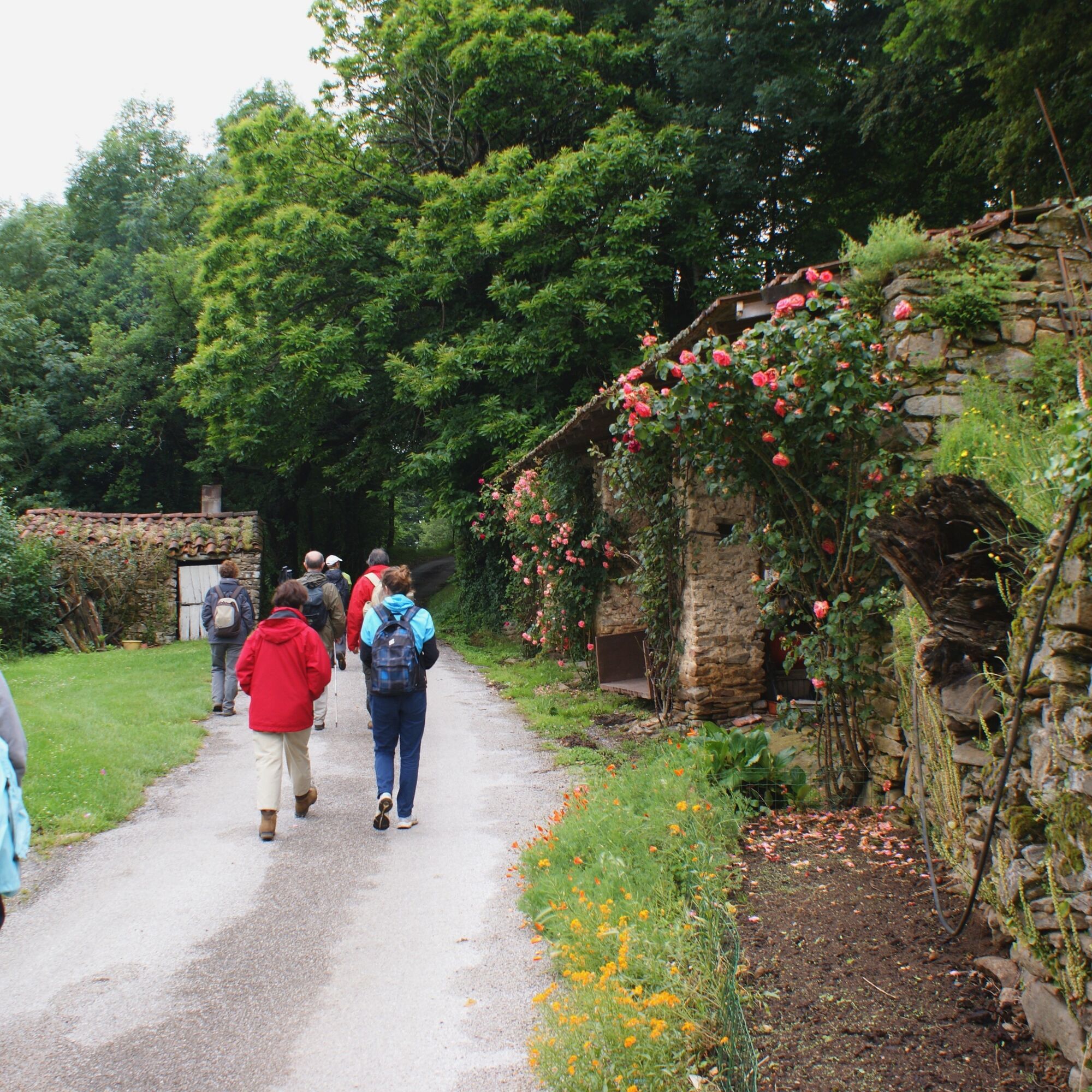
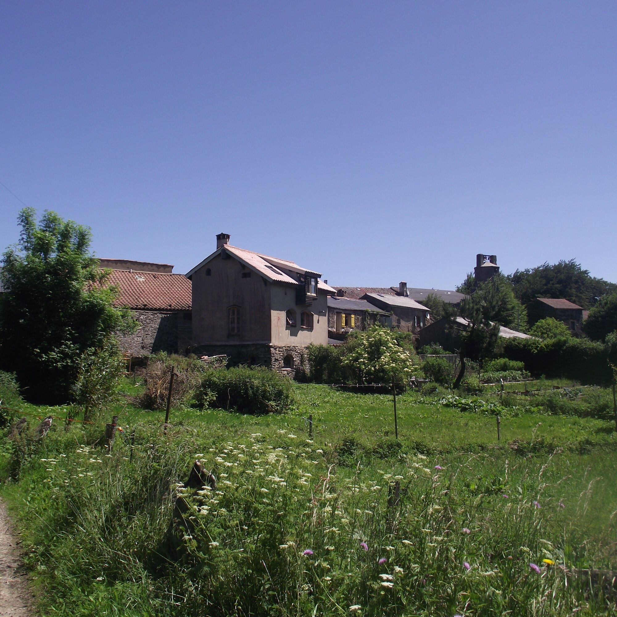
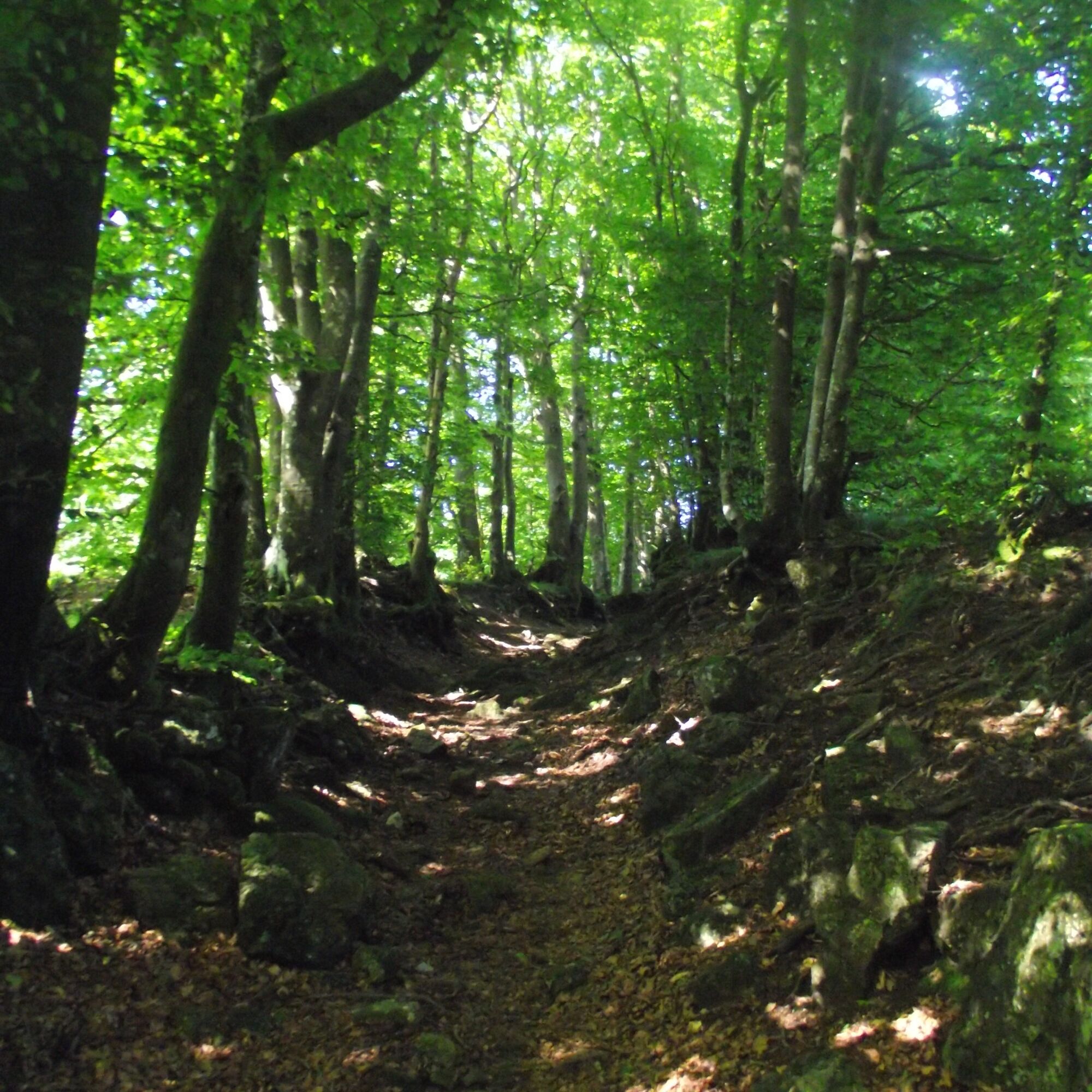
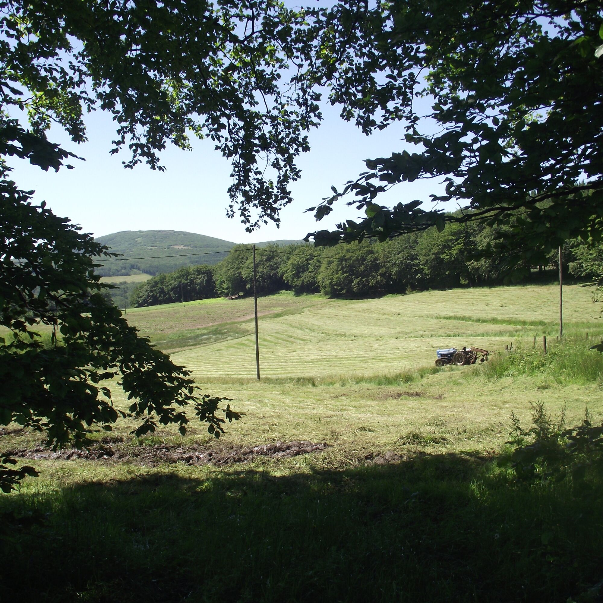
Starting from Sales, a small hamlet of the commune of Lacabarède, the Sales clearings trail passes through deciduous woodland alternating with small meadow patches.
Lovely viewpoints are discovered at the...
Popis
Starting from Sales, a small hamlet of the commune of Lacabarède, the Sales clearings trail passes through deciduous woodland alternating with small meadow patches.
Lovely viewpoints are discovered at the hamlet of Farail, on the Tarn side. The trail then takes forest tracks. The return towards the starting point offers a panoramic view, on the Aude side, especially after the hamlet of Baylé and halfway between Lebrat and Farail. Reaching the highest point of the route at 949 m, the Pic de Nore (1,211 m) appears, the highest peak of the Montagne Noire. The Pic de Nore is recognizable thanks to a towering red-and-white striped pylon 102 m high serving as a radio and TV transmitter. It marks the finish of a cycling race: "La cyclosportive La Jalabert."
Lovely viewpoints are discovered at the hamlet of Farail, on the Tarn side. The trail then takes forest tracks. The return towards the starting point offers a panoramic view, on the Aude side, especially after the hamlet of Baylé and halfway between Lebrat and Farail. Reaching the highest point of the route at 949 m, the Pic de Nore (1,211 m) appears, the highest peak of the Montagne Noire. The Pic de Nore is recognizable thanks to a towering red-and-white striped pylon 102 m high serving as a radio and TV transmitter. It marks the finish of a cycling race: "La cyclosportive La Jalabert."
Trasa
Trasa
Hiking: Les clairières de Sales
světlo
Turistika
8.46
km


Informace o trase
Trasa
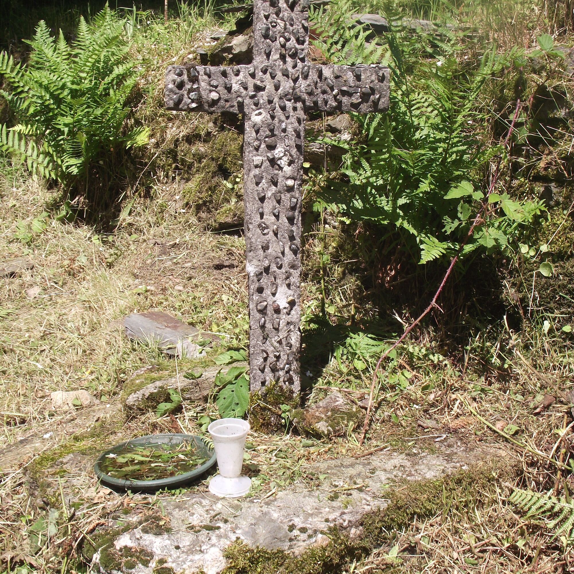
1- Facing the calvary at the central crossroads of Sales, turn right towards Farail; 30 m later, take the path to the right. At the first fork, go straight ahead. At the second, turn left. At the third, descend to the right. At the junction, go straight ahead; 20 m further, bear left.
2- In front of Farail (junction with the GR® 7 linking the Vosges to the Pyrenees crossing the parks of the Massif Central and the GR® de Pays of the Haute Vallée du Thoré), turn right. On the track, go straight ahead. At the fork, climb left. At the junction, go straight ahead.
3- At the wide fork, continue right. At the next fork, leave the track for the ascending path to the left.
4- Hairpin left to take the wide track. Reach an intersection. >Access to Roc de Peyremaux (5 km) via GR® 7.
5- Leave the track to climb left along a grassy path (path of the Fontaine des Trois Évêques) on the edge. Descend straight ahead. At the crossroads, continue straight in the hollow path.
6- At Baylé, turn left; 100 m further, leave the wide path at its first bend to take a hollow path on the right. Then keep going straight ahead.
7- In front of the first house of Lebrat, turn left; 50 m lower, turn left twice. At the outlet onto a wide path, go right. Cross Farail.
8- Continue on the tarmac to return to Sales (GR® 7).
2- In front of Farail (junction with the GR® 7 linking the Vosges to the Pyrenees crossing the parks of the Massif Central and the GR® de Pays of the Haute Vallée du Thoré), turn right. On the track, go straight ahead. At the fork, climb left. At the junction, go straight ahead.
3- At the wide fork, continue right. At the next fork, leave the track for the ascending path to the left.
4- Hairpin left to take the wide track. Reach an intersection. >Access to Roc de Peyremaux (5 km) via GR® 7.
5- Leave the track to climb left along a grassy path (path of the Fontaine des Trois Évêques) on the edge. Descend straight ahead. At the crossroads, continue straight in the hollow path.
6- At Baylé, turn left; 100 m further, leave the wide path at its first bend to take a hollow path on the right. Then keep going straight ahead.
7- In front of the first house of Lebrat, turn left; 50 m lower, turn left twice. At the outlet onto a wide path, go right. Cross Farail.
8- Continue on the tarmac to return to Sales (GR® 7).
Vybavení
Clothing suitable for the season and conditions (cold, hot, wet, etc.)
Hiking shoes adapted to the terrain (even for children!)
Hiking poles (useful for stability and to relieve joints)
Mobile phone and spare battery
Bezpečnostní pokyny
Before setting off:
Check the general and local weather ensuring no precipitation Get information about the approach walk, height of the route, duration, possible escapes (IGN map, GPS, guidebook, etc.) Assess possible risks by consulting mountain professionals, refuges, lodgings Inform a close person of your objective and contact them in case of change: departure and return times, number of participants with each phone number, vehicle(s), parking Avoid going alone, use equipment suitable for the activity, adjusted and in good condition, headlamp, complete first aid kit, survival blanket, etc.In case of problem, call 112 (European emergency number)
Informace o příjezdu
Parkování
Parking near the starting point
Další informace a tipy
Další informace
APIDAE Tourism data updated on 09/06/2022 by "Tarn Tourisme".
An error on this sheet? Write to the owner quoting these references:
Sheet name: Les clairières de Sales | Sheet identifier: 845819 | URL (link) of this Outdooractive page.
An error on this sheet? Write to the owner quoting these references:
Sheet name: Les clairières de Sales | Sheet identifier: 845819 | URL (link) of this Outdooractive page.
Zatím žádné recenze
Oblíbené prohlídky v okolí
- 5.0
Les Escaunelles
světloTuristika 6.87 km Peyremaux rock
heavyTuristika 13.3 kmCIT'ART HIKE OF THE HAUTS DE FERRALS
středníTuristika 15.5 kmCYCLE LOOP NO.12 - THE ASSAULT ON THE HAUT-LANGUEDOC FROM MINERVE
světloJízda na kole 37.3 kmOENORANDO® LE CRU LA LIVINIERE
světloTuristika 11.5 kmLE SENTIER DES MEULIERES
světloTuristika 1.02 kmVÉLOCCITANIE, FROM THE NAUROUZE THRESHOLD TO BÉZIERS
středníJízda na kole 236.6 kmFONT GALINE - CESSERAS HIKING
středníTuristika 10.9 kmHIKING FÉLINES MINERVOIS VENTAJOU
středníTuristika 13.7 kmHiking: The Wibault route
heavyTuristika 9.26 km

Pěší turistika a stopování

Více než 550.000 návrhů výletů, podrobné mapy a intuitivní plánovač tras dělají z aplikace nezbytnou výbavu pro všechny milovníky přírody.

Nenechte si ujít nabídky a inspiraci pro vaši příští dovolenou
Přihlaste se k odběru newsletteru
Chyba
Došlo k chybě. Zkuste to prosím znovu.Děkujeme za vaši registraci
Vaše e-mailová adresa byl přidán do poštovního seznamu.
Zájezdy po celé Evropě
Rakousko Švýcarsko Německo Itálie Slovenia Francie Nizozemsko Belgie Polsko Lichtenštejnsko Česko Slovensko Španělsko Chorvatsko Bosna a Hercegovina Lucembursko Andorra Portugal Iceland United Kingdom Ireland Greece Albania North Macedonia Malta Norway Montenegro Moldova Kosovo Hungary San Marino Romania Estonia Latvia Belarus Cyprus Lithuania Serbia Bulgaria Monaco Denmark Sweden Finland





