







Peyremaux rock
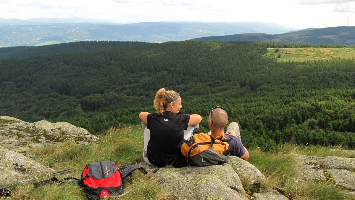
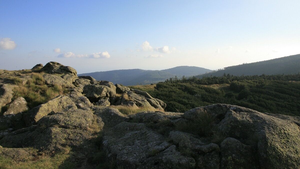
Peyremaux is perched at over 1000 m on the watershed line between the Atlantic and the Mediterranean. According to legend, the rock, emblem of Albine, once aroused the envy of the neighbors on the Aude...
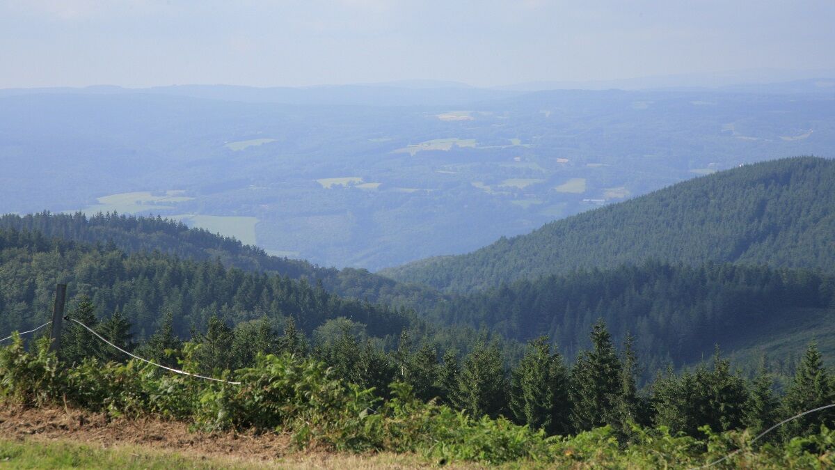
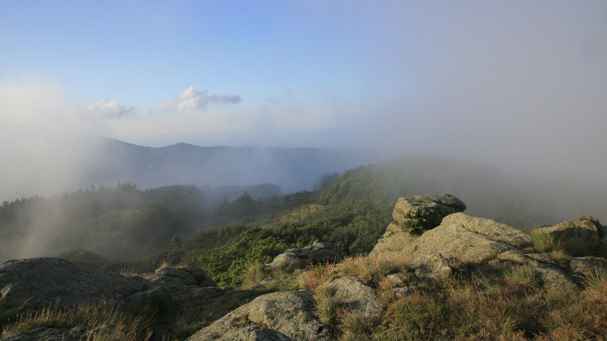
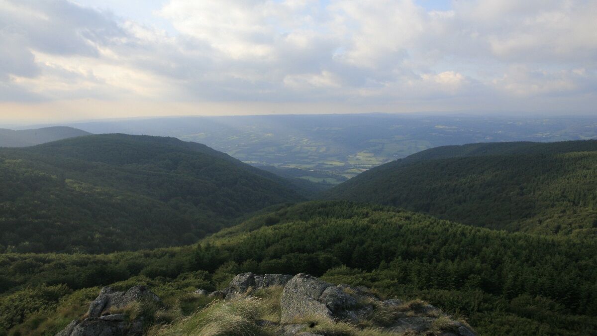
Peyremaux is perched at over 1000 m on the watershed line between the Atlantic and the Mediterranean. According to legend, the rock, emblem of Albine, once aroused the envy of the neighbors on the Aude slope. Wanting to pull the rock towards them by force, their hemp rope broke. The Albinols, using a wool rope, patiently pulled it to their side. This story symbolizes the town's motto "patience is better than force," and the pride of the wool industry, once prosperous in Albine. As you ascend, the history of the mountain unfolds… chestnut coppices, then beech coppices, from "tillage" of firewood… Cultivation terraces and dry stone shepherd huts testify to a past with a large population. Higher up, coniferous stands reflect the mainly sylvicultural present of the commune. At the summit, nature finally takes over, the wind has forced the beeches to grow close to the ground just like the short alpine grass… The view is all the better for it!


An error on this sheet? Write to the owner recalling these references:
Sheet name: Le roc de Peyremaux | Sheet ID: 845770 | URL (link) of this Outdooractive page.
Oblíbené prohlídky v okolí
-
5.0
Les Escaunelles
světloTuristika 6.87 km -
CIT'ART HIKE OF THE HAUTS DE FERRALS
středníTuristika 15.5 km -
CYCLE LOOP NO.12 - THE ASSAULT ON THE HAUT-LANGUEDOC FROM MINERVE
světloJízda na kole 37.3 km -
Au fil de l'Eau 6,5km / 2h30
heavyTuristika 6.45 km -
OENORANDO® LE CRU LA LIVINIERE
světloTuristika 11.5 km -
Hiking: Les clairières de Sales
světloTuristika 8.46 km -
LE SENTIER DES MEULIERES
světloTuristika 1.02 km -
VÉLOCCITANIE, FROM THE NAUROUZE THRESHOLD TO BÉZIERS
středníJízda na kole 236.6 km -
HIKING FÉLINES MINERVOIS VENTAJOU
středníTuristika 13.7 km -
Hiking: The Wibault route
heavyTuristika 9.26 km

Pěší turistika a stopování


Nenechte si ujít nabídky a inspiraci pro vaši příští dovolenou
Vaše e-mailová adresa byl přidán do poštovního seznamu.





