







OENORANDO® LE CRU LA LIVINIERE
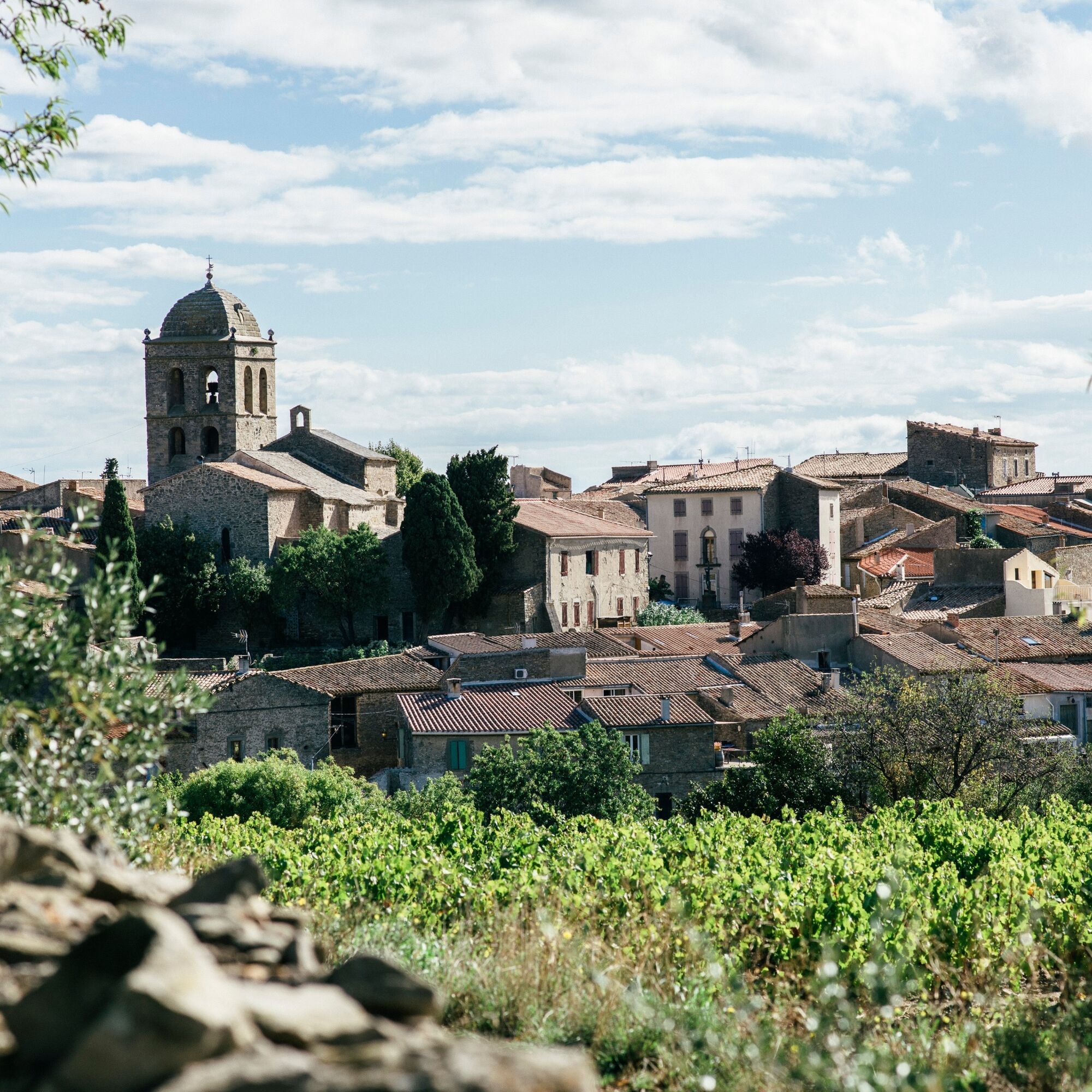
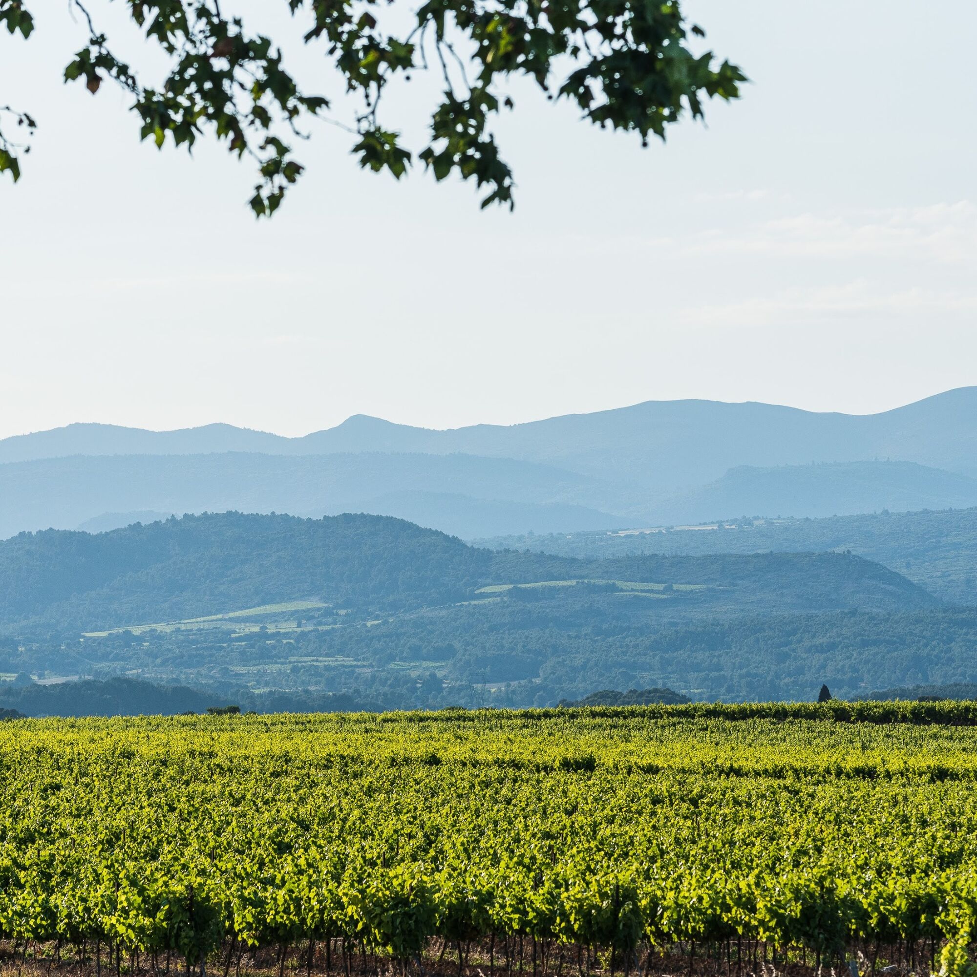
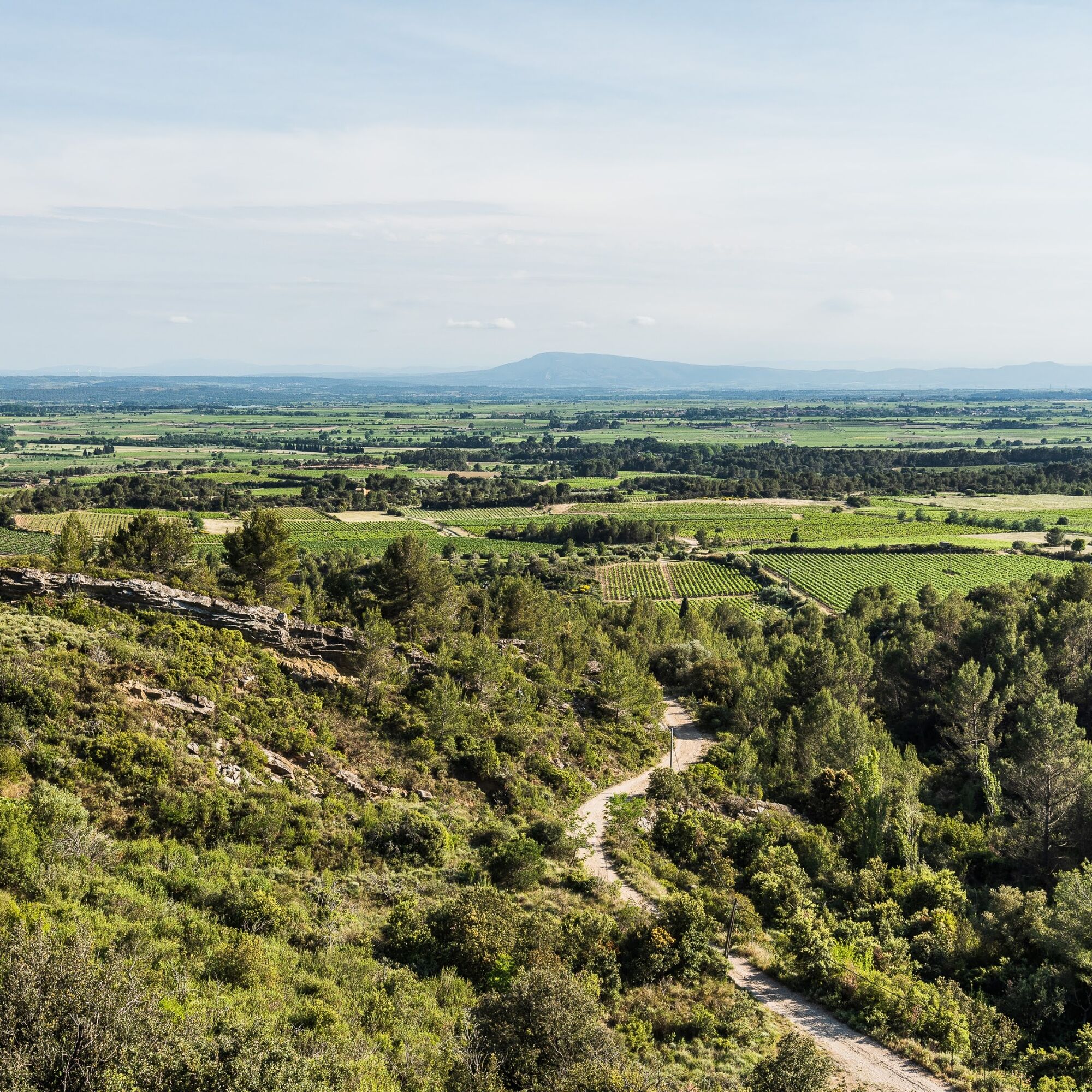
This Oenorando®, amidst the vineyards and scrubland, invites you to discover the La Livinière village appellation, with to the south, a superb panorama over the Minervois, the Corbières and the Pyrenees,...
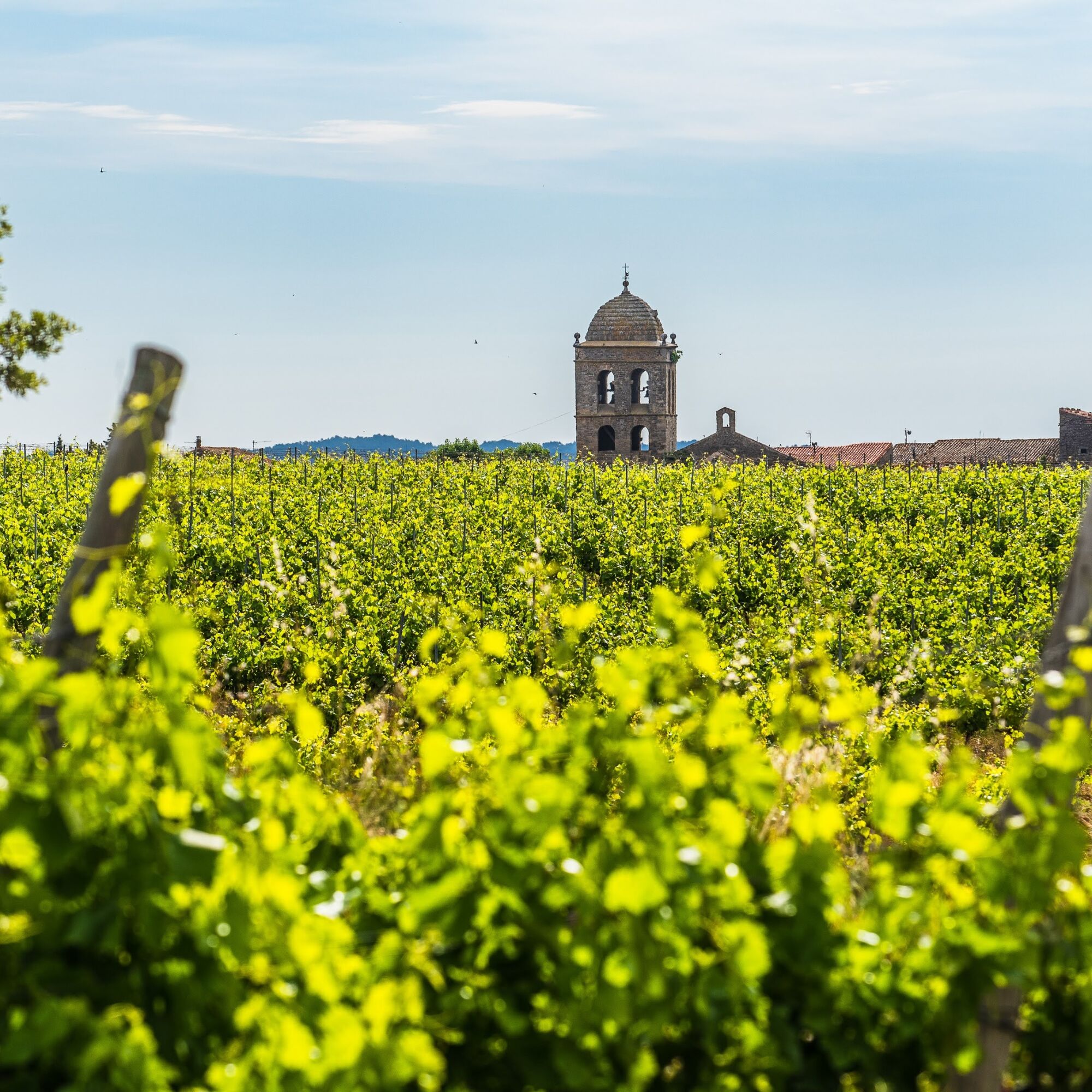
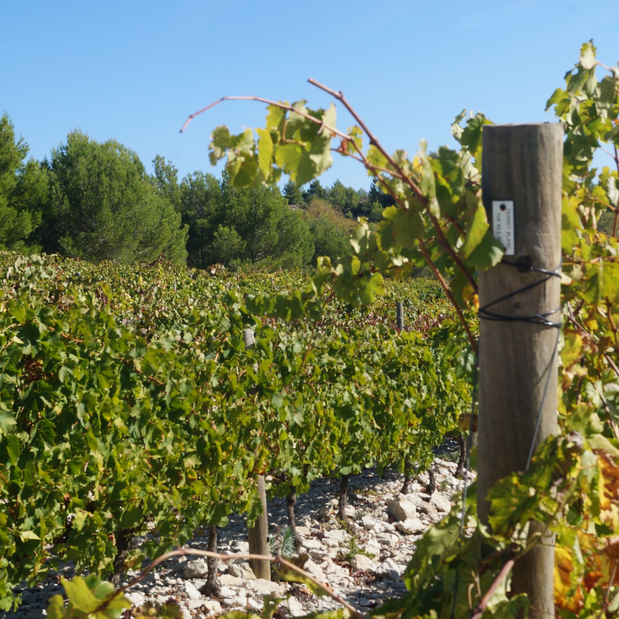
This Oenorando®, amidst the vineyards and scrubland, invites you to discover the La Livinière village appellation, with to the south, a superb panorama over the Minervois, the Corbières and the Pyrenees, then to the north, the beautiful ridge line of the Montagne Noire, the western part of the Cévennes.


1
From the parking, take the road parallel to the cellar towards the cemetery.
2
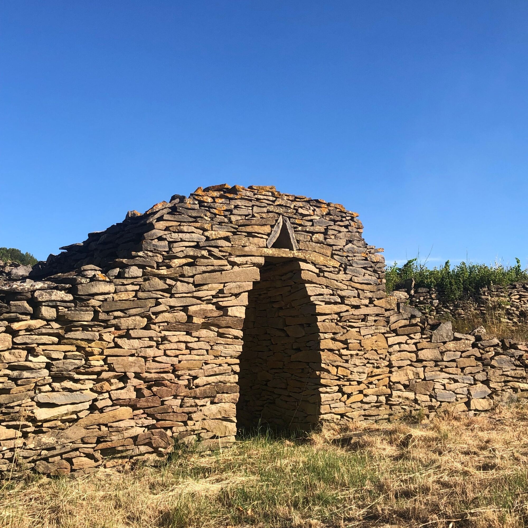
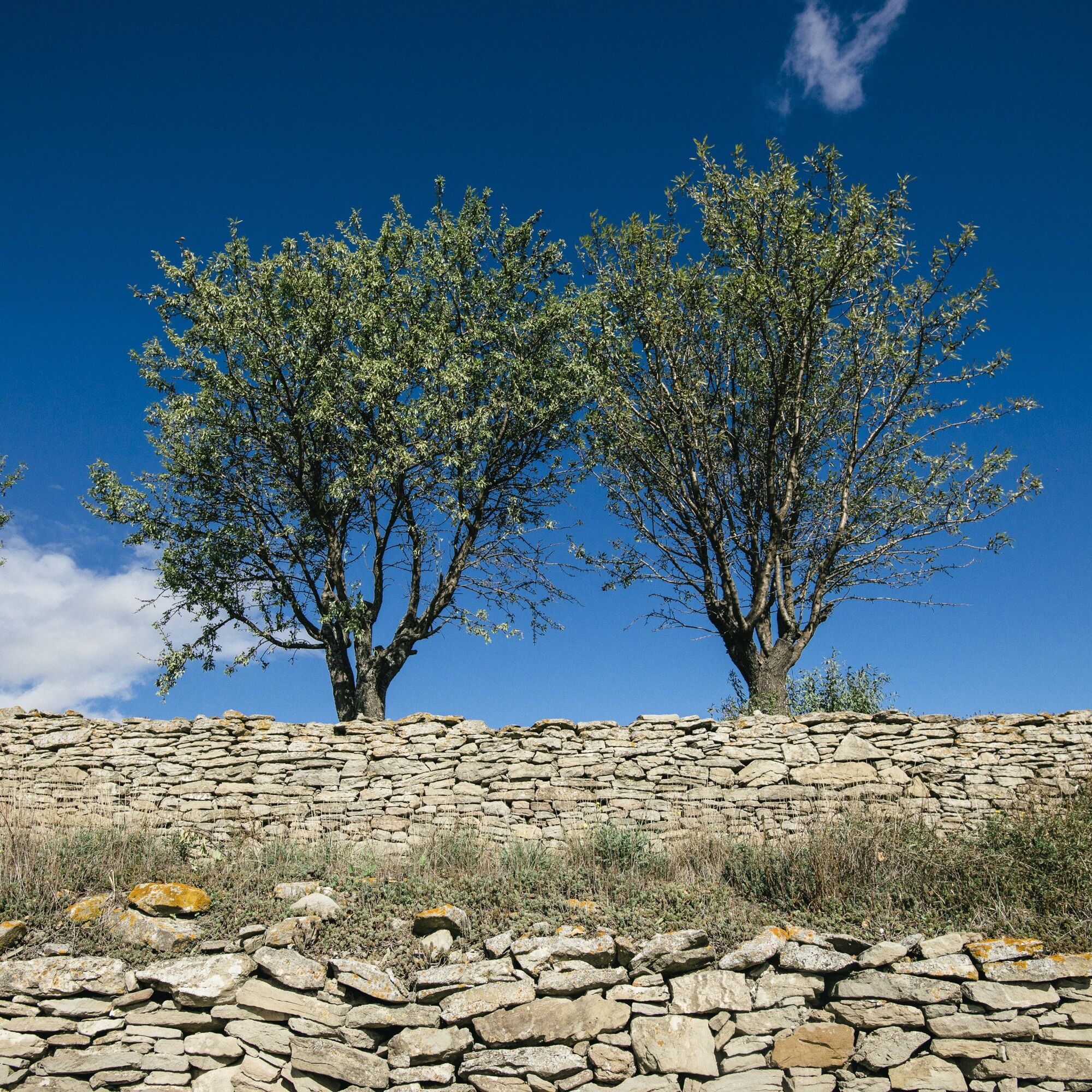
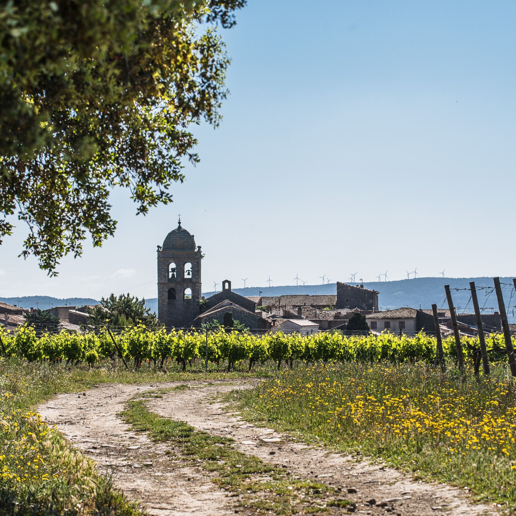
Go down to the left and at the intersection, turn right onto the path along a stream. At the entrance to a field, stay left and continue alongside it. Take the path to the left, cross the stream and go up the path towards the village. Through the alley, reach the D168. Go up to the right and at the crossroads continue to the left. Go forward 200m then go down to the left on the old Planels path. Cross the old bridge then climb the calade. At the first vines, along a dry stone wall, take the time to admire La Livinière and its bell tower behind you. At the end, continue on the road climbing into the vineyard, ignoring track departures. Presence of dry stone huts. After a hill, the road turns into a track, continue straight for 700m. On the return: Go up the road to the left and reach the cooperative cellar parking.
3
> Access orientation table, round trip: go left, walk 100m and climb to the right. Panorama icon. 3. Go right on the track and at the intersection turn right then go down 500m. At the track crossroads, turn left. Pass the place called Réfrégé and continue 500m straight on the main track. Climb the track to the right between scrubland and vineyard for 900m.
4
> Access viewpoint, round trip: take the track to the left then the path. Panorama over Félines-Minervois. See the vine conservatory. 4. Turn right and follow the track winding between the vines then descending towards Sainte-Eulalie. At the estate, go up to the left along the road for 1km. At a hairpin bend, take the road to the left and cross it (caution). To the right, climb the road which engages on the ridge alongside vines. Walk on the main track for 1km.
5
Go down to the right the track quickly turning into a singletrack path. Pass in front of 2 ruined lime kilns. Follow the eroded path for over a kilometer (caution slippery passages). Reach a track and take it to the left. It goes down into the pine forest before reaching the vines again. Cross a ford then climb the concrete track facing you. Then go down towards La Livinière for 650m. At the first houses, reach a crossroads and take the road to the right. Walk 250m and at the intersection go down to the right to reach the departmental road. Continue left along the D12E10 to the crossing.
6
Take the street straight ahead, rue des Aires Hautes. Continue straight on rue du Marché Couvert. Go around the covered market then pass under the archway. Take rue de l'Ancien Four and at the end, stay right to go down to the right of the town hall. At the bottom, turn left, cross at the pedestrian crossing. Turn right and go down towards the cemetery.
In case of emergency, dial 112
In summer, prefer an early start.
Slippery passage after point 5.
Yellow PR
https://www.minervois-caroux.com
Minervois au Caroux Tourist Office
Oenorando®

Oblíbené prohlídky v okolí
-
4.0
HIKING IN THE TOWN OF MINERVE
středníTuristika 8.79 km -
Peyremaux rock
heavyTuristika 13.3 km -
CIT'ART HIKE OF THE HAUTS DE FERRALS
středníTuristika 15.5 km -
CYCLE LOOP NO.12 - THE ASSAULT ON THE HAUT-LANGUEDOC FROM MINERVE
světloJízda na kole 37.3 km -
OENORANDO® DES MOURELS
světloTuristika 6.03 km -
CYCLING ROUTE NO.6 - THE VINEYARD OF MINERVOIS AND SAINT-CHINIAN
světloJízda na kole 49.9 km -
LA MOTA DOÇA HIKE
středníTuristika 8.53 km -
Hiking: Les clairières de Sales
světloTuristika 8.46 km -
LE SENTIER DES MEULIERES
světloTuristika 1.02 km -
BEAUFORT: THE ST CÔME PATH
světloTuristika 7.30 km
Pěší turistika a stopování


Nenechte si ujít nabídky a inspiraci pro vaši příští dovolenou
Vaše e-mailová adresa byl přidán do poštovního seznamu.





