


HIKE THE TOUR OF THE VERDISSES
A change of scenery guaranteed throughout this hike around the Verdisses! Enjoy, starting from Agde, a route along the Hérault River, the Mediterranean Sea, and a more intimate path following the Canal...
A change of scenery guaranteed throughout this hike around the Verdisses! Enjoy, starting from Agde, a route along the Hérault River, the Mediterranean Sea, and a more intimate path following the Canal du Midi and its exceptional heritage.

1
From the entrance of Belle-ile, cross straight ahead at the pedestrian crossings and walk along the Hérault River on the Quai du Commandant Réveille for about 800 m (on the opposite bank, view of the Saint-Etienne Cathedral). Follow the promenade, Route de la Tamarissière, for about 2 km, passing under the dual carriageway.
2
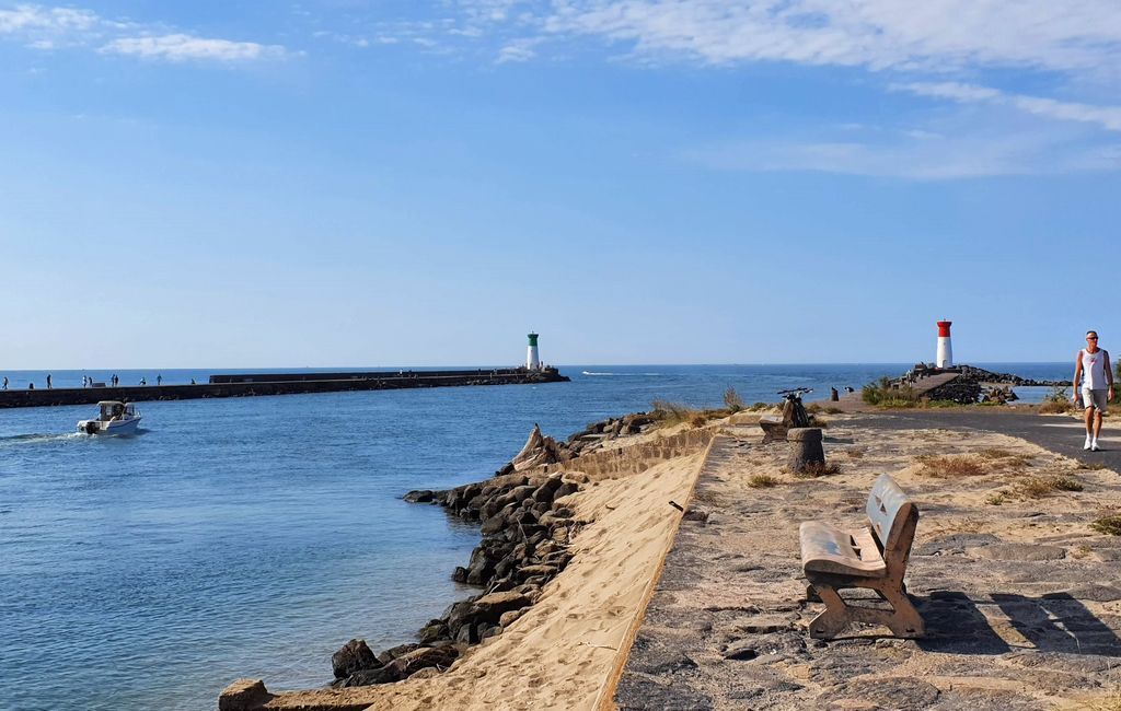
At the intersection, go along the junction (to the right, PR Le Clôt de Vias). Continue along Quai Théophile-Cornu to Tamarissière (view of the Hérault estuary).
3
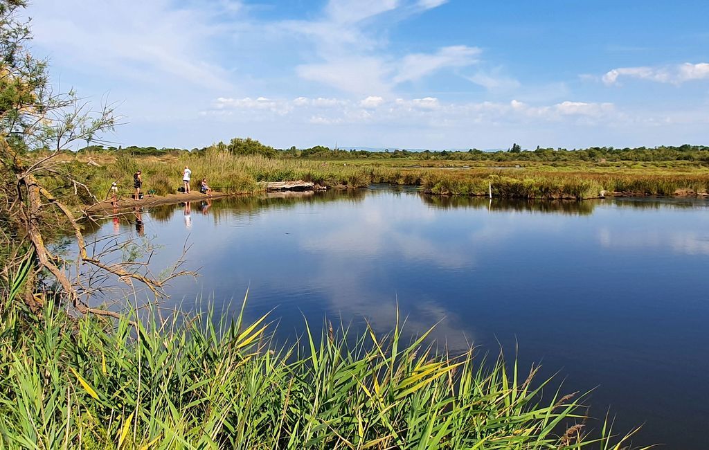
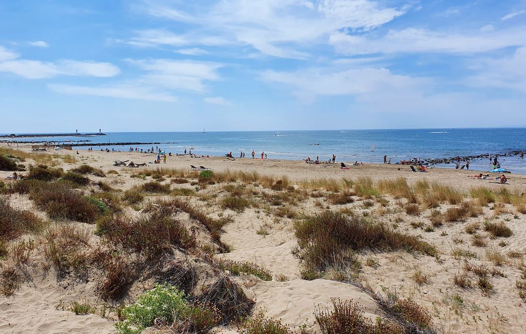
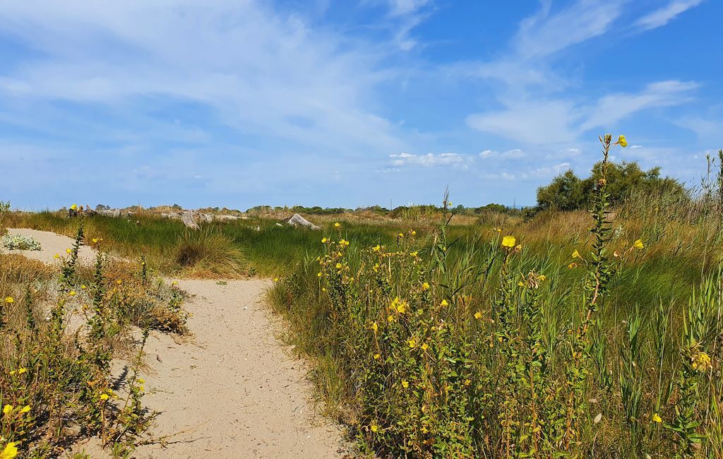
Turn right and follow the beach for about 500 m. At the lifeguard post, climb the dune and follow the path that leads to a crossroads (bunkers). Go down a few meters to the right and reach a junction. On the left, follow the pond along the beach, then a track and reach a watercourse. Walk to the right for about 300 m and cross a bridge (to the right PR Le Clôt de Vias).
4
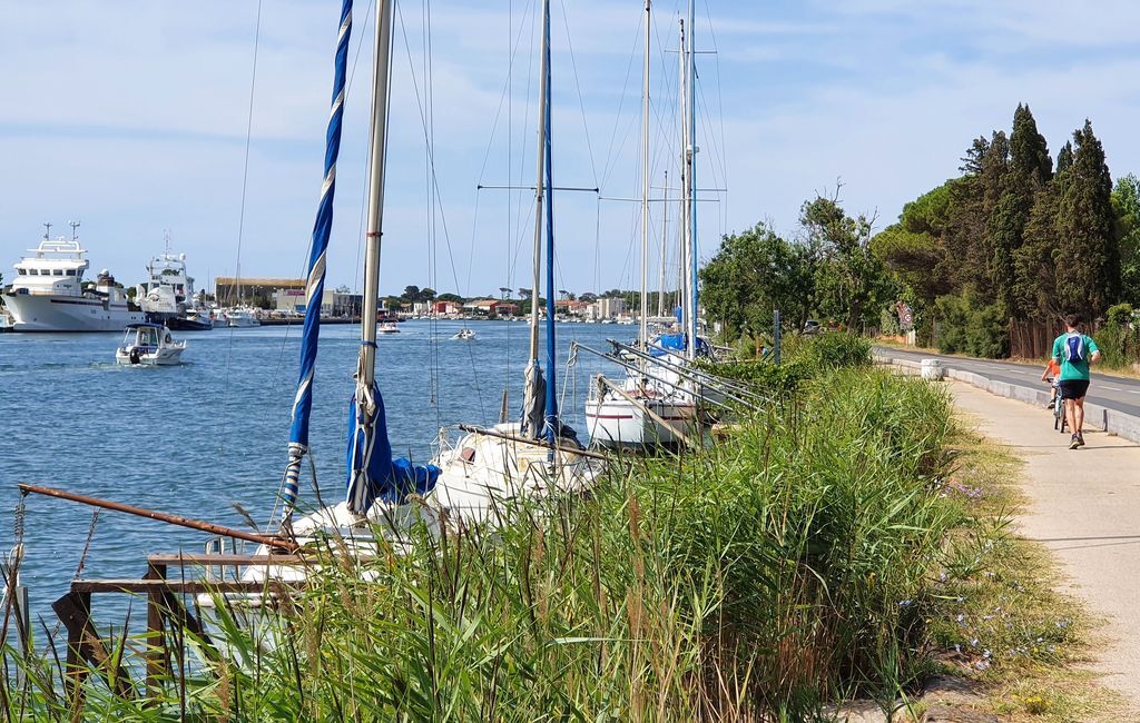
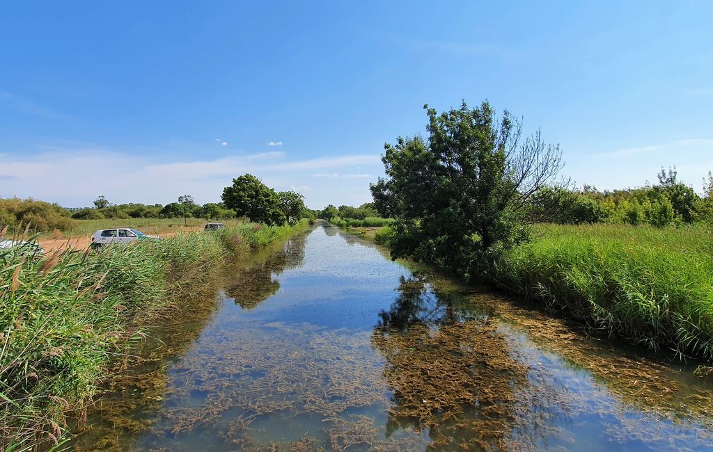
Continue straight ahead and climb for 1 km towards the Canal du Midi. Take the right along it by the road, then the track. Pass the Grand Rudel building, go under the dual carriageway and walk about 800 m. Pass under the road, then the railway line and, 500 m further on, under the bridge. Walk another 1.5 km and reach the port. Climb up to the road.
5
Cross at the pedestrian crossing (careful) and reach the bridge to admire the round lock. Retrace your steps, then turn left onto the lock bridge. Turn right then straight on for about 200 m along the canalet. Before the railway line, climb the path on the left and walk along the railway for another 200 m.
6
Cross the tunnel and enter the Belle-Ile park (Laurens castle). Walk on the balcony along the Hérault, cross the footbridge and return to the starting point.
In case of emergency, call 112.
Yellow PR
+33 4 67 01 04 04
Cap d'Agde Méditerranée Tourist Office
PR - FFR
Oblíbené prohlídky v okolí
-
5.0
HIKING MOUNT ST-LOUP, AN ANCIENT VOLCANO
světloTuristika 9.11 km -
4.0
LE BELVEDERE VOLCANIC CLIFF HIKE
světloTuristika 7.12 km -
LA GRANDE MAÏRE HIKE
světloTuristika 11.2 km -
MOUNTAIN BIKE CIRCUIT 21: LE GRAND SALAN - ESPACE VTT/GRAVEL CAP D'AGDE MÉDITERRANÉE
světloMountainbike 19.5 km -
HIKING OF THE PASEJADE DEL CRES
středníTuristika 14.2 km -
CIRCUIT VTT 23: GRANDE BOUCLE D'AGDE - ESPACE VTT/GRAVEL CAP D'AGDE MÉDITERRANÉE
světloMountainbike 25.0 km -
CYCLO LOOP N°24 - AGDE, FRESH AND SALT WATER
světloJízda na kole 32.7 km -
OENORANDO® BETWEEN CANAL DU MIDI AND VINEYARD
středníTuristika 10.2 km -
THE TAMARISSIERE HIKE IN THE SHADE OF THE PINES
světloTuristika 5.32 km -
CYCLE LOOP No. 26 - THAU POND, ABBEY OF VALMAGNE AND PÉZENAS
středníJízda na kole 63.1 km

Pěší turistika a stopování


Nenechte si ujít nabídky a inspiraci pro vaši příští dovolenou
Vaše e-mailová adresa byl přidán do poštovního seznamu.