


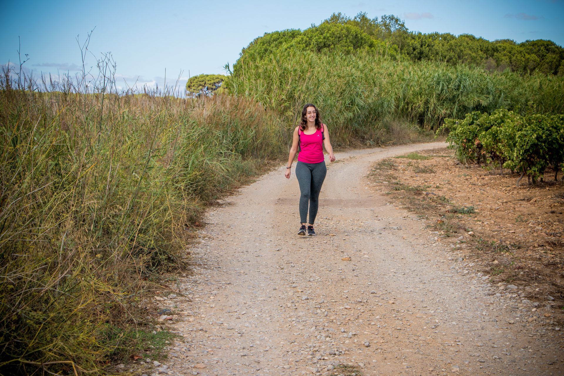
HIKING OF THE PASEJADE DEL CRES
Step 1
From the parking near the La Cigalière Tourist Information Point, follow on the left the “Rayonnant” (contemporary work by Daniel Buren). Use the pedestrian crossings, cross to the left of the roundabout...
Step 1
From the parking near the La Cigalière Tourist Information Point, follow on the left the “Rayonnant” (contemporary work by Daniel Buren). Use the pedestrian crossings, cross to the left of the roundabout to take the street alongside the pétanque courts to reach the Orb. Follow the river for 400m then go around the Notre-Dame-de-Grâce collegiate church. From the forecourt, head straight ahead, and take to the left the 8 May 1945 street. After passing under the ring road bridge, continue about 250 m to an intersection.
Step 2
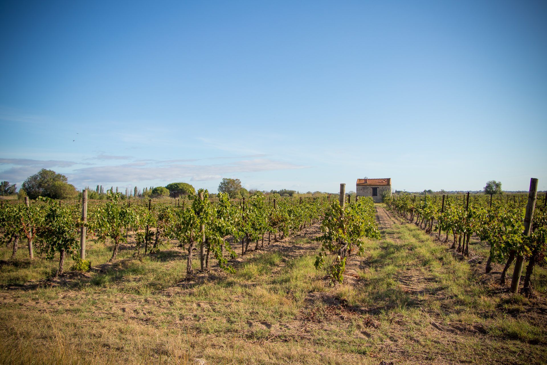
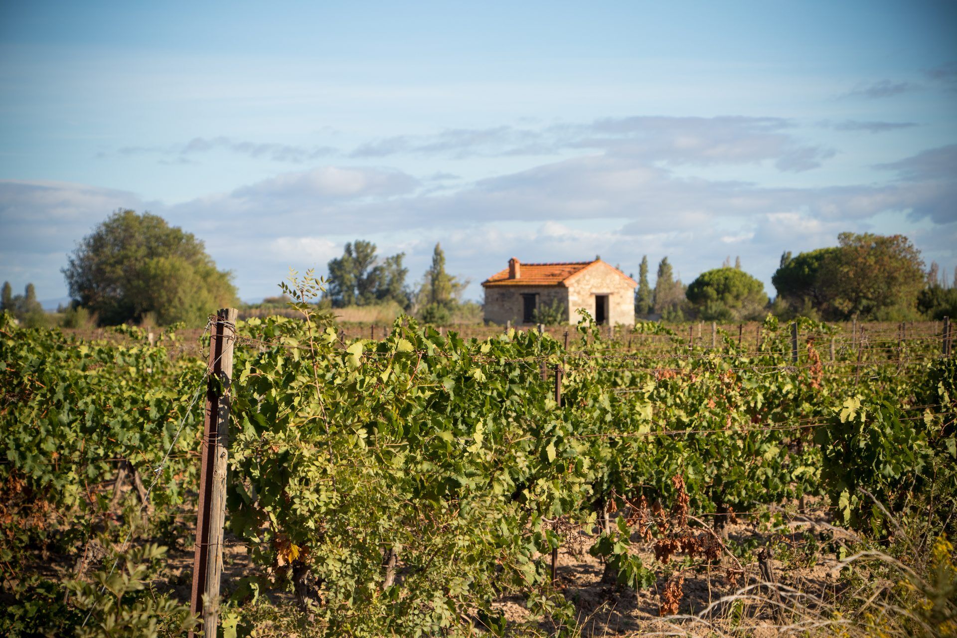
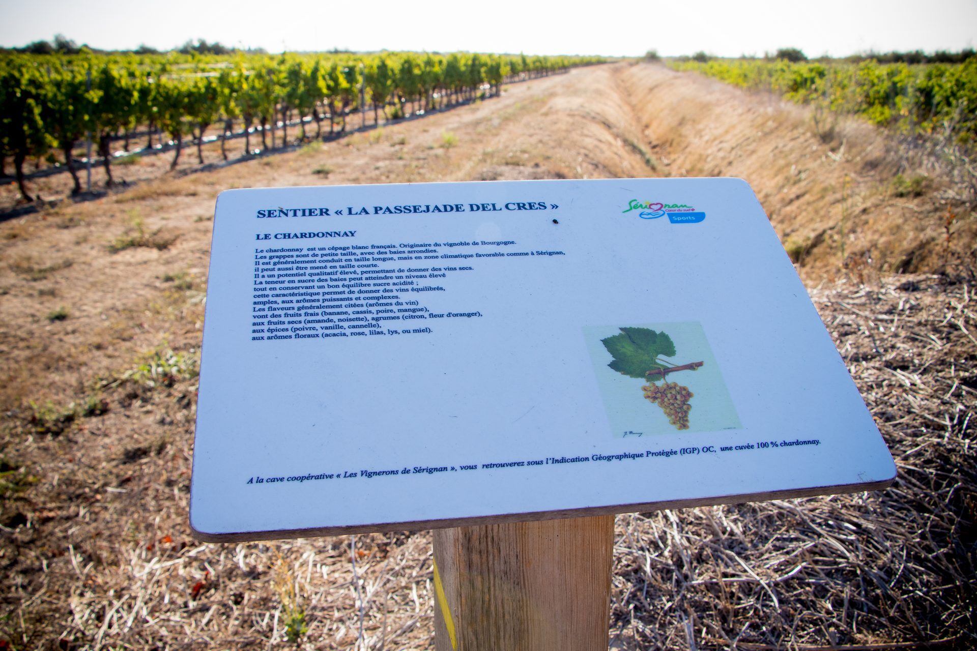
Turn right onto a small road that gradually enters the Sérignan vineyard. At the crossroads, continue straight, at the next, turn left. Always follow the paved track to a crossing near a wooded plot (to the left, domain of Querelle).
Step 3
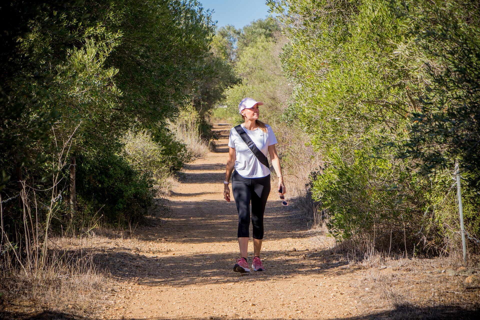
Turn right onto a track. This joins a road which you follow to the right. At the end, turn left alongside the D 64 and reach a roundabout; cross it on the right using the pedestrian crossings. Leave Edgar Faure avenue on the right and enter the gravel track on the left; it runs alongside a campsite. Leave the track to go around the campsite. At the split of farm tracks, choose the one on the left. Further on, turn right then left and emerge at the edge of a campsite. Turn left, then right through the olive grove. At the end, follow the track to the right to the road; take it left for about 350 m.
Step 4
Leave the road for a track on the right (riu de Guitou) and pass in front of the lavogne located 100 m to the left under the bushes. At the end, turn right. Then continue following the markings carefully (many crossroads). After passing buildings, turn left and reach a paved track; take it right, then take left a track that zigzags to the D 37. Cross and continue straight for about 150 m.
Step 5
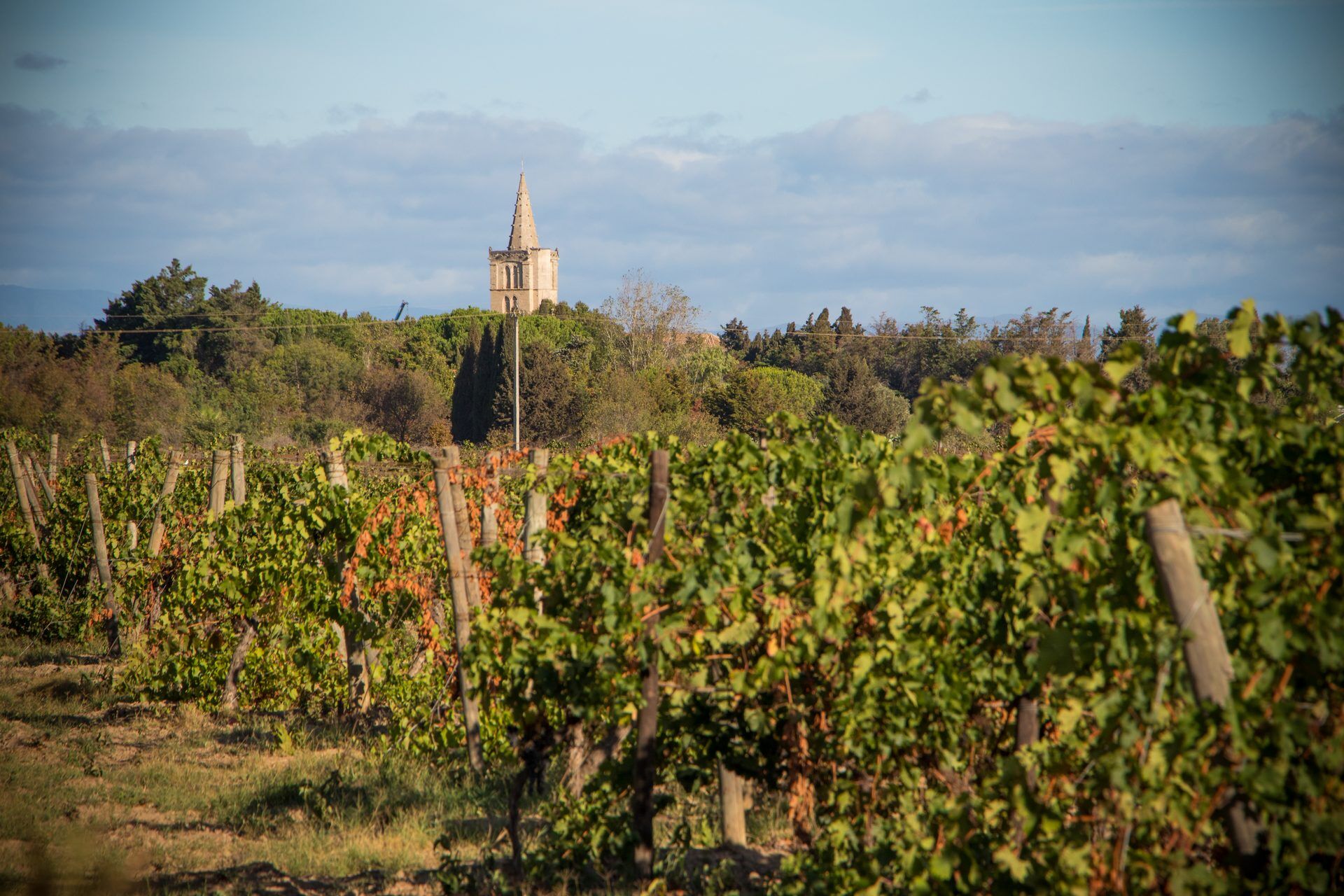
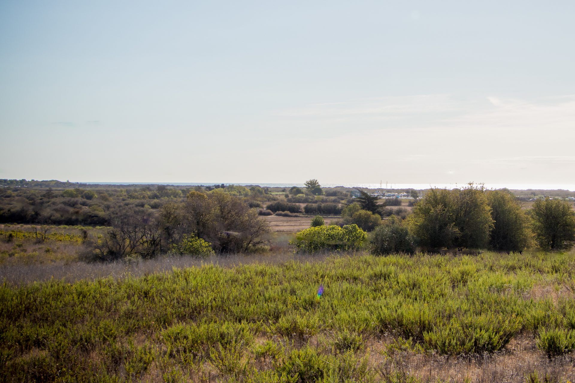
Turn left. At a small barn, turn right and continue straight for about 1 km. Then turn left, then right (panorama: in front Sauvian, right Sérignan). At another small barn, turn right, then follow the markings carefully to reach the first houses of Sauvian.
Step 6
Take two right turns and at the end, turn left. Then leave the road to bear right onto a track accessing Sérignan. At the end of the Thou path, turn right onto Georges Ricard street, then left on Hérail street (Vargoz castle park at the end on the right). Then cross the D 19 to reach the starting parking.
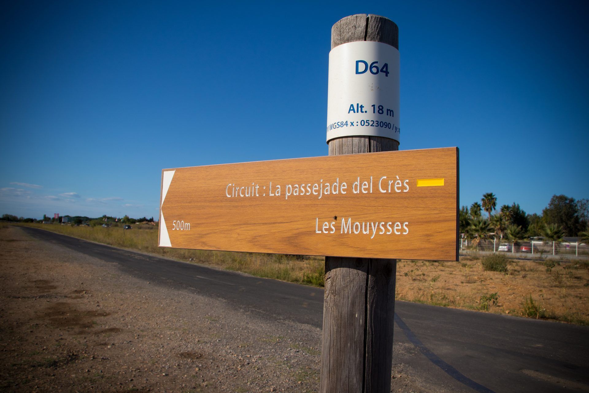
Yellow PR marking
Ano
In case of emergency, dial 112
Consider carpooling
Parking near the starting point near the La Cigalière Tourist Information Point
To learn more about our destination, visit our website
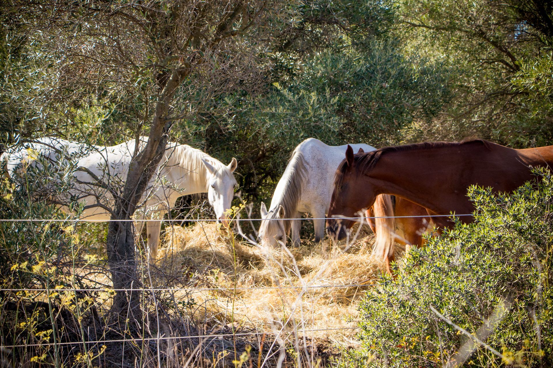
Along the route, you will enjoy views of the vines, the sea, as well as the exceptional heritage of the town with its collegiate church, winegrowers' houses, and its contemporary art museum.
Oblíbené prohlídky v okolí
-
HIKING BETWEEN THE VINES AND THE GARRIGUES
světloTuristika 8.83 km -
OENORANDO® LES COTEAUX D'ENSÉRUNE
světloTuristika 8.08 km -
LA GRANDE MAÏRE HIKE
světloTuristika 11.2 km -
MOUNTAIN BIKE CIRCUIT 21: LE GRAND SALAN - ESPACE VTT/GRAVEL CAP D'AGDE MÉDITERRANÉE
světloMountainbike 19.5 km -
OENORANDO® BETWEEN CANAL DU MIDI AND VINEYARD
středníTuristika 10.2 km -
THE TAMARISSIERE HIKE IN THE SHADE OF THE PINES
světloTuristika 5.32 km -
HIKE THE TOUR OF THE VERDISSES
středníTuristika 12.3 km -
CYCLING LOOP NO.23 BIS SUMMER - FROM VALRAS COAST TO THE CANAL DU MIDI
světloJízda na kole 39.9 km -
HIKING BETWEEN CANAL DU MIDI AND BEZIERS
světloTuristika 7.81 km -
CYCLE LOOP No. 22 - RIDE SOUTH OF THE CANAL DU MIDI
světloJízda na kole 27.2 km
Pěší turistika a stopování


Nenechte si ujít nabídky a inspiraci pro vaši příští dovolenou
Vaše e-mailová adresa byl přidán do poštovního seznamu.