







DRAILLES HIKE
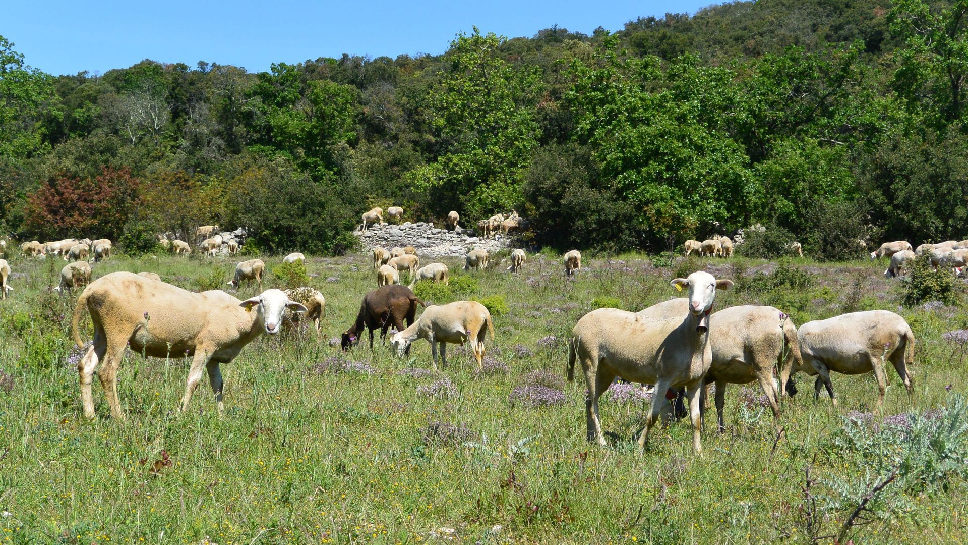
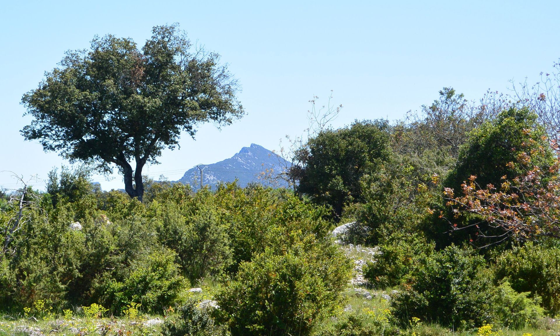
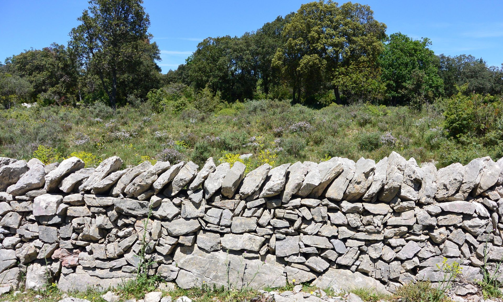
Within a site rich in megaliths, this loop takes place under evergreen oaks, along old drovers' paths bordered by dry stone walls, and reaches the Mas de Roussières, which smells of sheep.


1
From the back of the parking lot, behind the community building, proceed up some steps between two walls. Take the paved path of Patus on the left, pass a calvary, turn left and continue. Ignore the path of the Lierres to the left, then ignore the track.
2
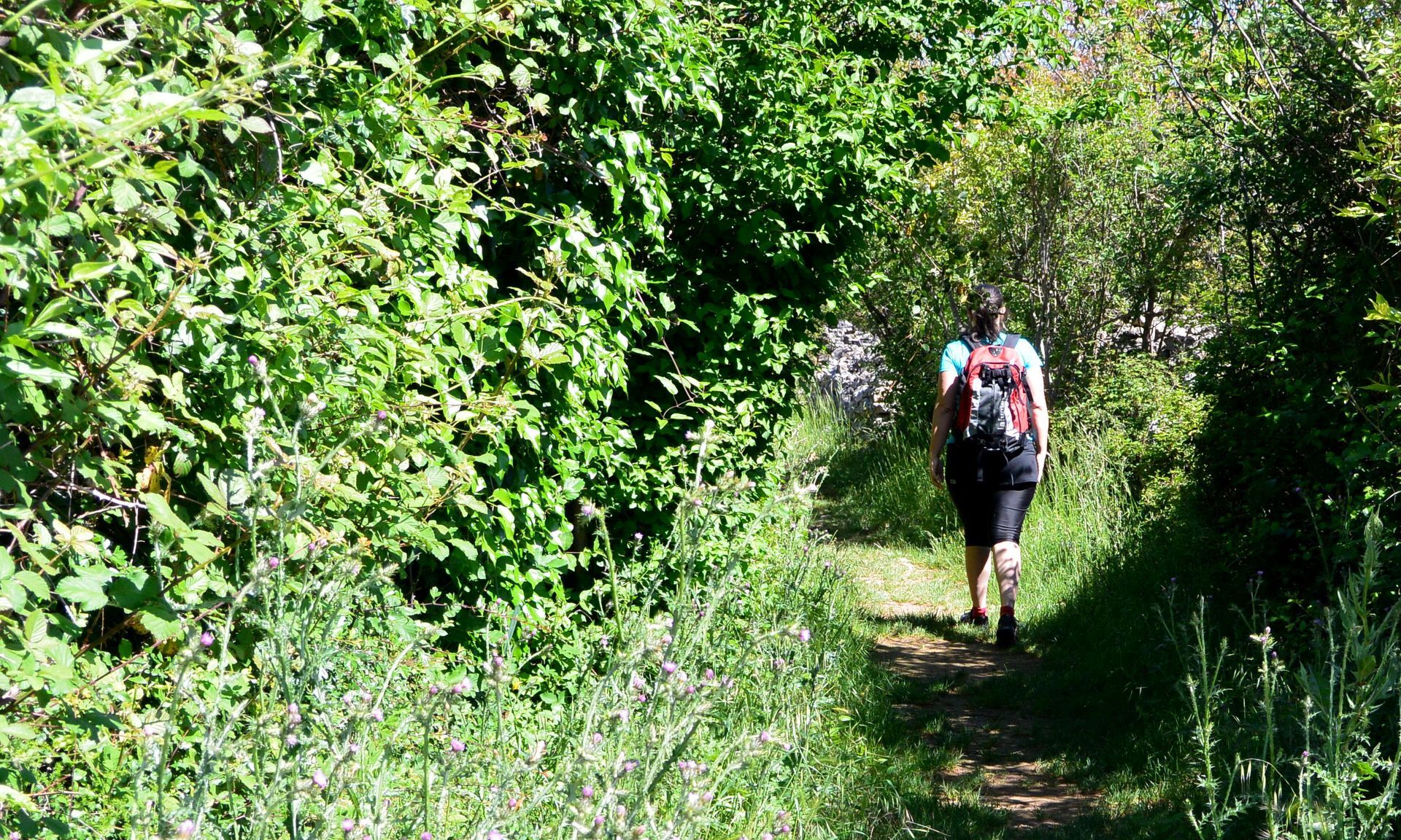
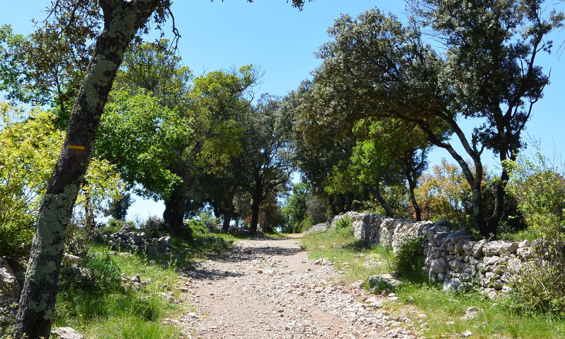
At the level of a vineyard, leave the paved path and veer right onto the drover's path (ancient paths bordered by stone walls). At the intersection, turn right and reach a wide crossroads of drovers' paths.
3
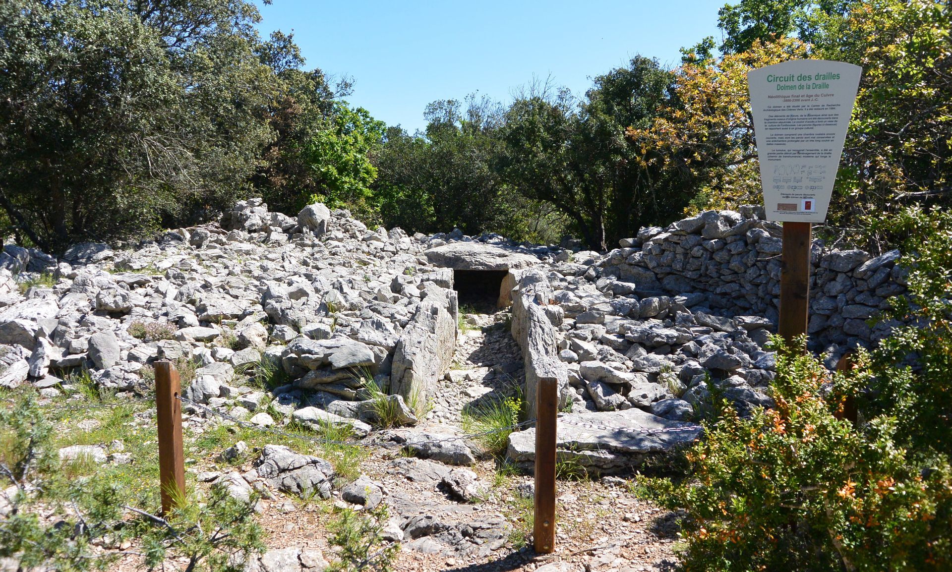
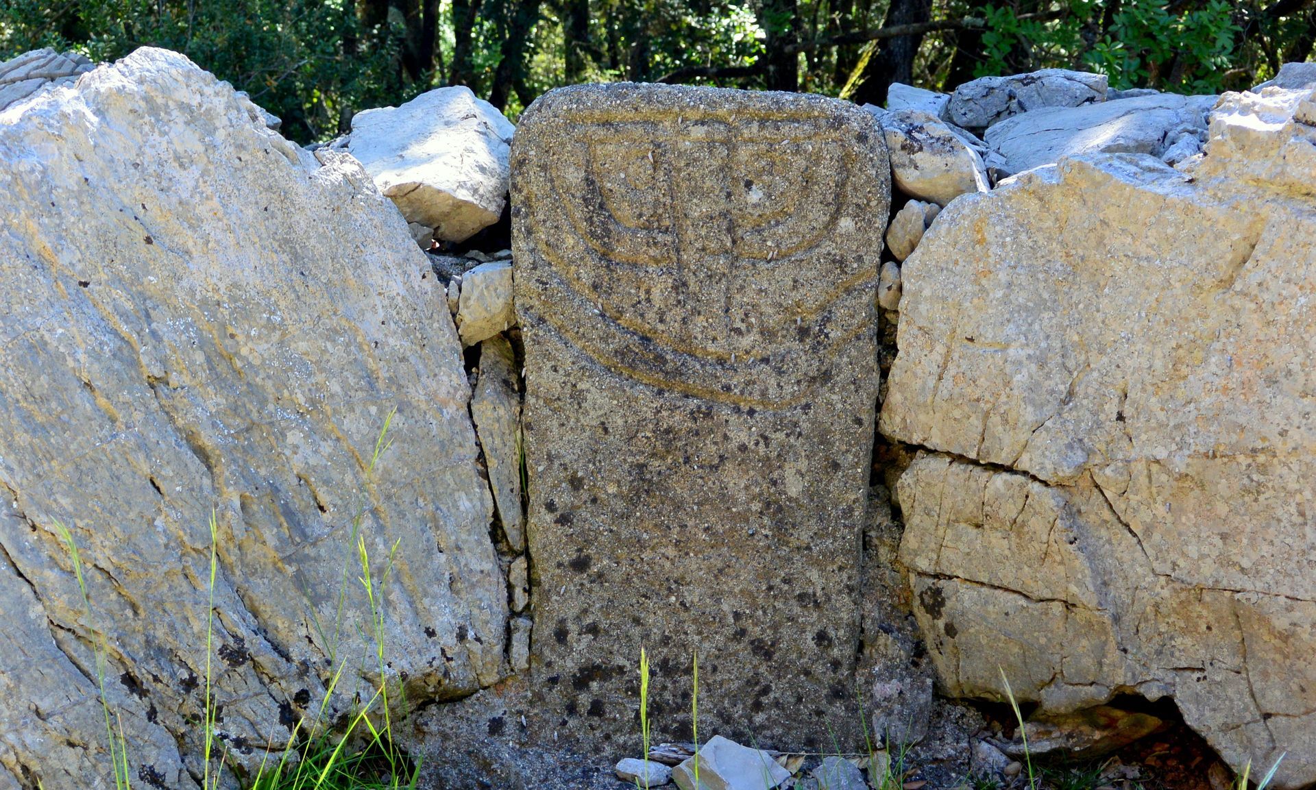
Go up to the left, pass the dolmen, continue for 50 m, then leave the drover's path to the right through the passage made in the wall. The trail winds through the high garrigue (follow the markings carefully). Cross the D 127, go straight ahead and reach a clearing. Descend on the left on the well-open trail. Take the track to the right for 100 m, then engage to the left on the path that passes under the power line, then under the D 32 bridge. Follow the stream bed and reach a large meadow.
4
Cross it heading toward century-old oaks and reach the departmental estate of Roussières (picnic and playground area). Go around the buildings on the left and, by the road, reach a gate.
5
At the exit of the estate, cross the track and continue on the trail ahead. Cross the D 32 and enter the path that slips between rock blocks then passes a pond. Take the drover's path to the left, cross the D 127 and continue on the trail ahead (interpretation trail), ignoring the branches. It leads back to the drovers' crossroads from the outward journey.
6
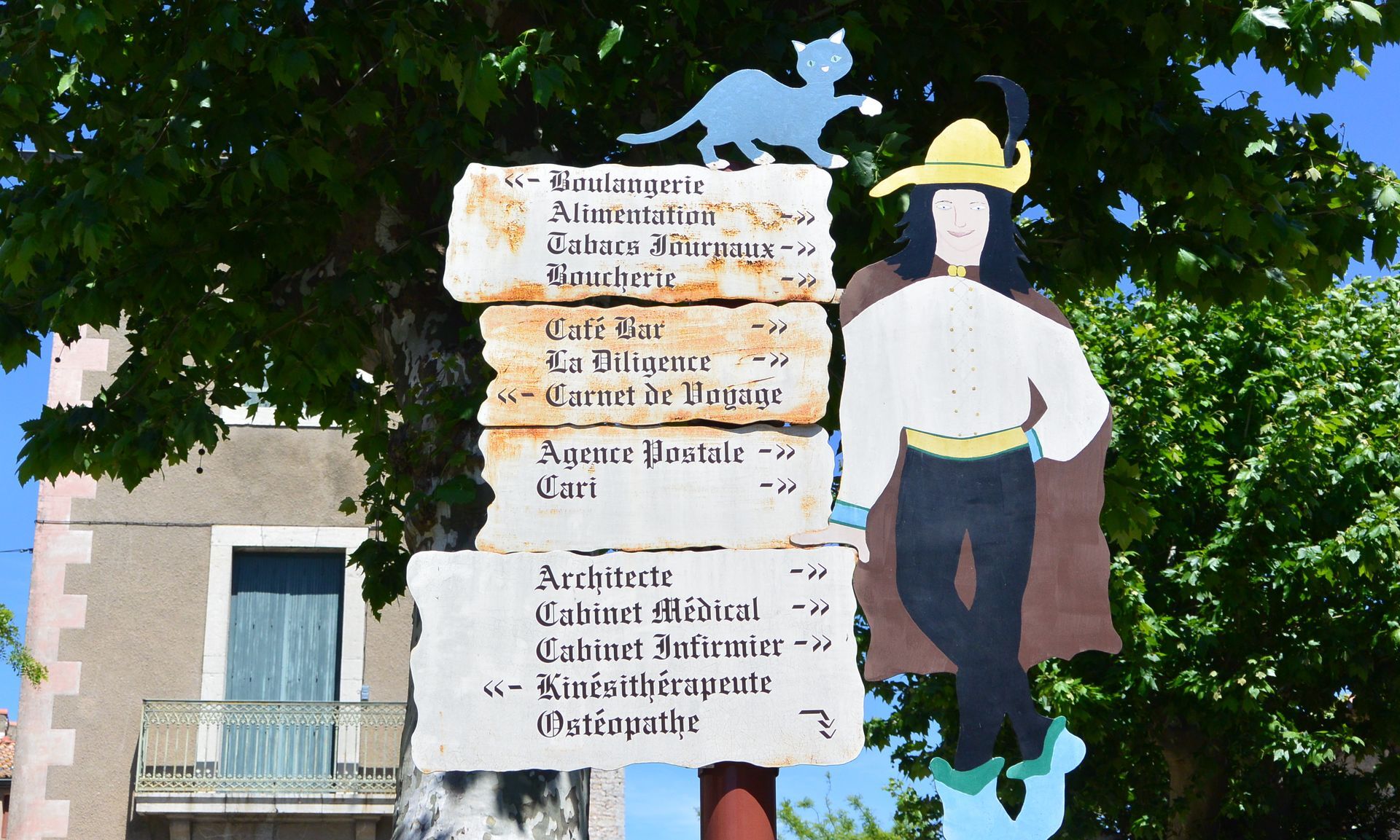
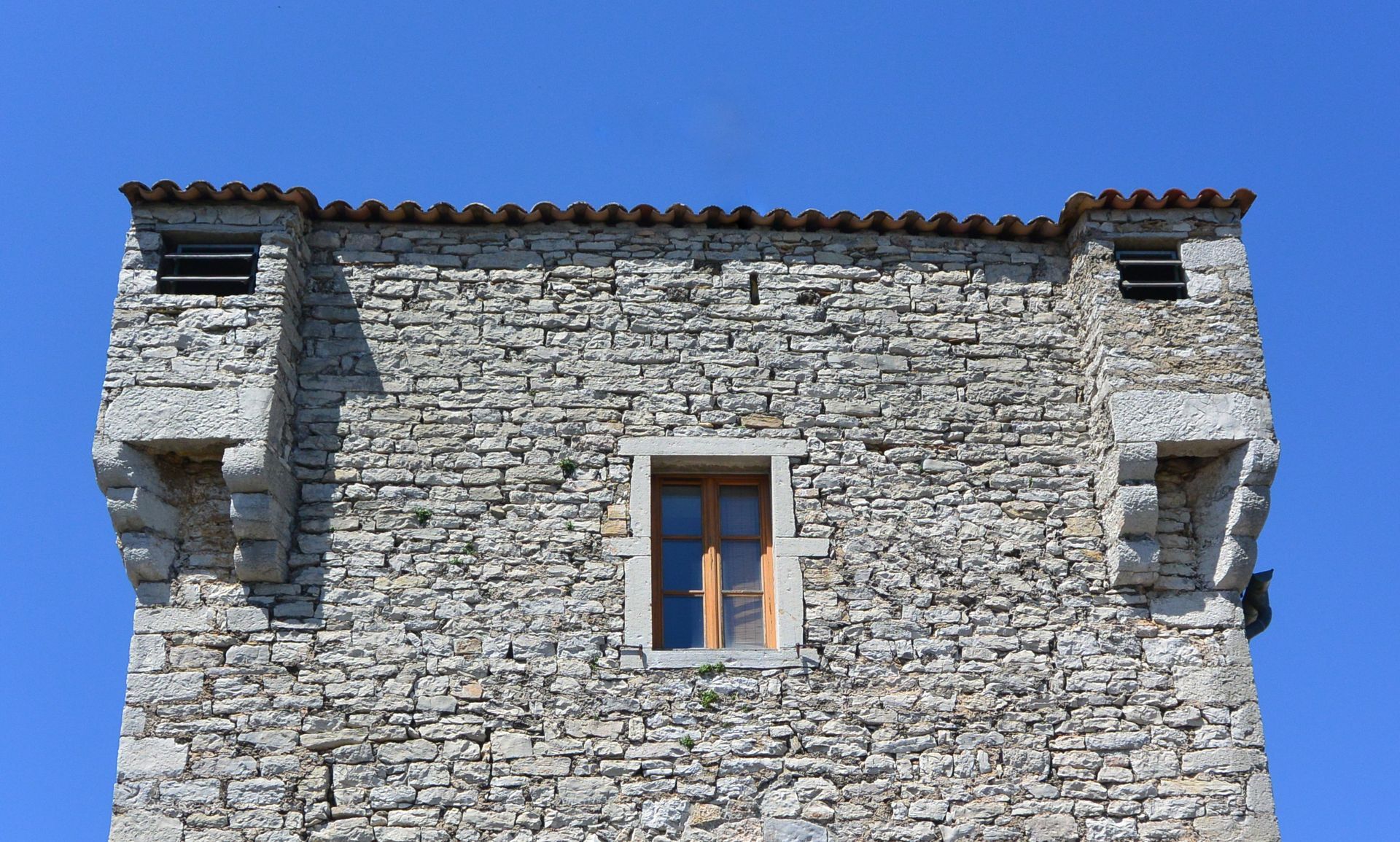
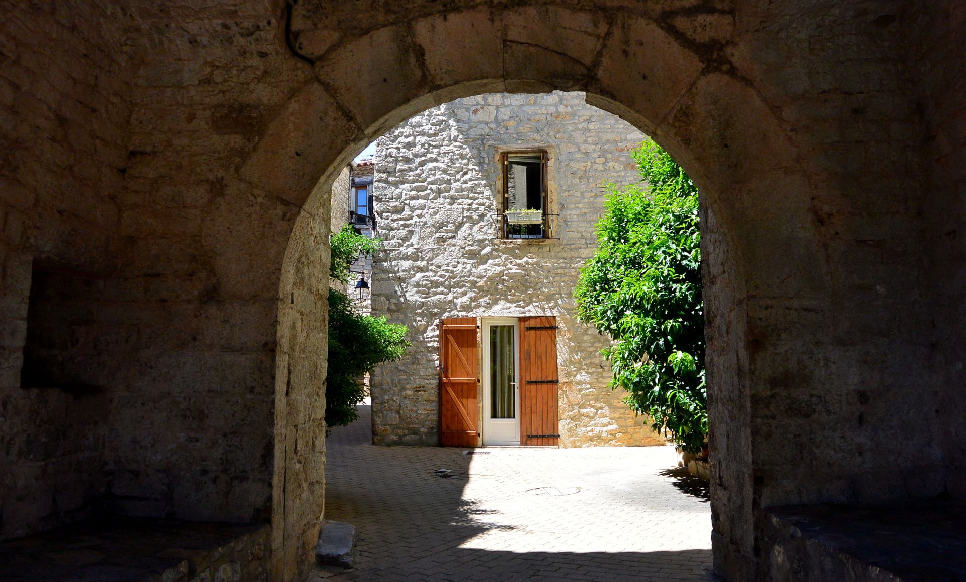
Descend on the trail to the left towards the Rouvière estate, then follow the D 127 to the right for 80 m. At the bend, go up the trail to the right and continue left on the Oliviers path for 500 m. Take the road on the left for 50 m, then the road on the right and arrive at the first houses of Viols-le-Fort. Take the third street on the left to reach the heart of the village and, on the Jeu de Ballon square, use the passage of the Fort to the right (Del Fabrègol tower 15th century). Reach the church, then cross the D 32 to return to the parking lot.
Yellow PR
https://www.grandpicsaintloup-tourisme.fr
Grand Pic Saint-Loup Tourist Office
PDESI

Oblíbené prohlídky v okolí
-
4.0
PIC SAINT LOUP HIKE
středníTuristika 2.64 km -
RAVIN DES ARCS HIKE
středníTuristika 3.83 km -
4.0
CYCLE LOOP No.4 - THE HÉRAULT GORGES AND THE COL DES LAVAGNES
středníJízda na kole 53.3 km -
RANDONNEE DE PEYRE MARTINE
středníTuristika 15.4 km -
HIKING THE OASIS OF THE GARRIGUES
středníTuristika 10.9 km -
HIKE OF THE CHÂTEAU DE RESTINCLIERES
světloTuristika 7.86 km -
FROM MONTPELLIER TO SAINT-GUILHEM-LE-DÉSERT ON THE GR®653 ARLES WAY TO COMPOSTELA
středníTuristika 42.7 km -
4.0
BOIS DE LÈQUE HIKE
světloTuristika 9.34 km -
OENORANDO® BETWEEN GRÉS DE MONTPELLIER AND PIC SAINT-LOUP
středníTuristika 15.0 km -
HIKING OF THE BALCONIES OF THE HERAULT
středníTuristika 17.9 km
Pěší turistika a stopování


Nenechte si ujít nabídky a inspiraci pro vaši příští dovolenou
Vaše e-mailová adresa byl přidán do poštovního seznamu.





