







CYCLE LOOP No.4 - THE HÉRAULT GORGES AND THE COL DES LAVAGNES
Here is a loop that is a must for its points of interest (Pont du Diable, Saint-Guilhem le Désert), the variety and beauty of its landscapes (Hérault gorges, Buèges valley), but also for its appeal to...
Here is a loop that is a must for its points of interest (Pont du Diable, Saint-Guilhem le Désert), the variety and beauty of its landscapes (Hérault gorges, Buèges valley), but also for its appeal to sport cyclists, notably with the ascent of the magnificent col des Lavagnes. No lengthy explanations needed, this route is one of the most beautiful in the department, reserved for regular riders, especially since you will have no opportunity to shorten the 55 km program...


1
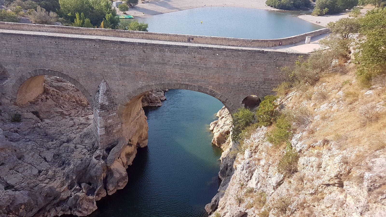
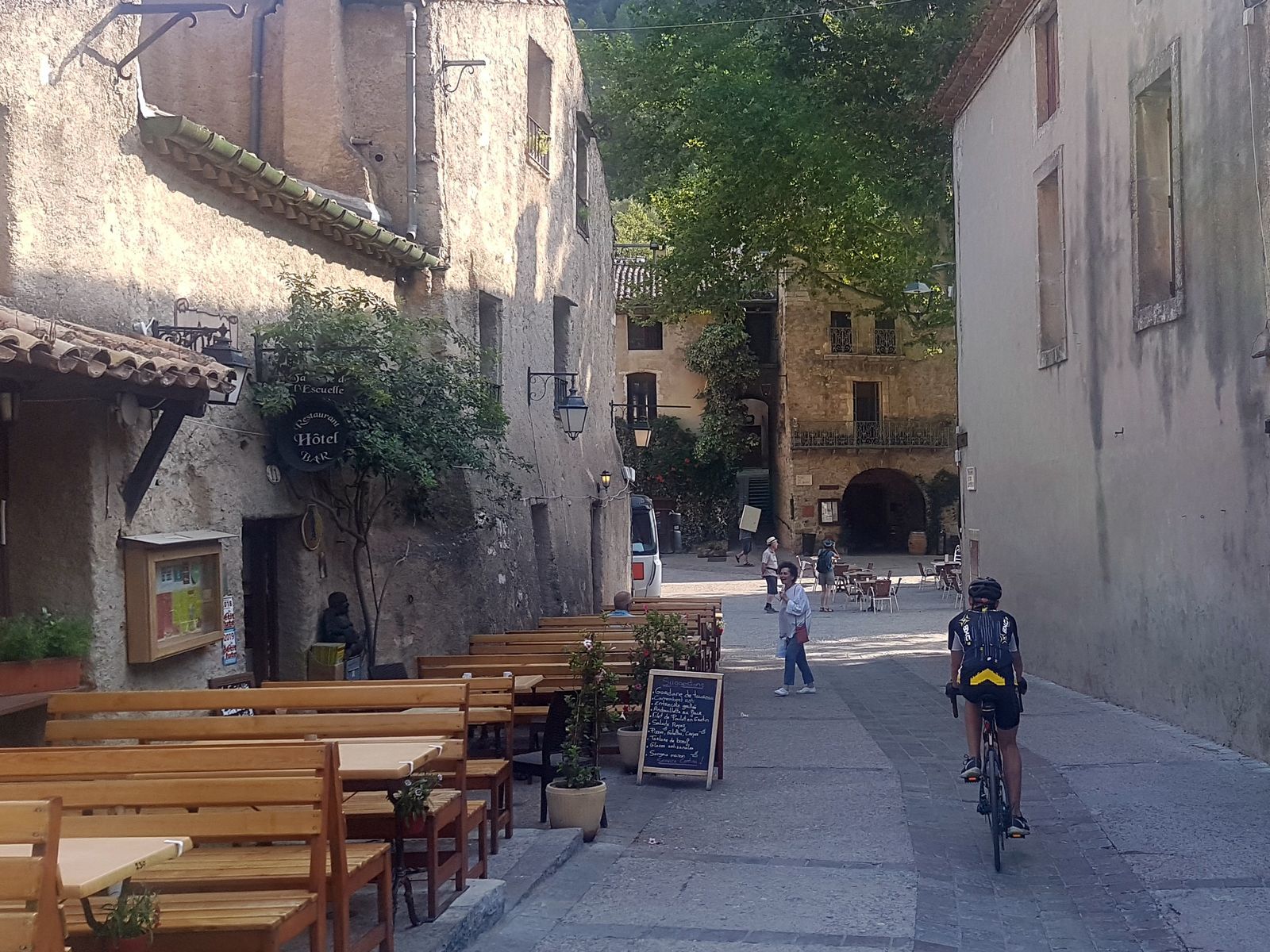
Your departure is from the Grand Site House at the Pont du Diable, which marks the entrance to the Hérault gorges. After the bridge, you follow the gorges for 3 km to reach Saint-Guilhem le Désert. Tour the village via the small road alongside the Verdus on both sides. Saint-Guilhem-le-Désert has housed the Gellone Abbey since the 9th century, a gem of Languedoc Romanesque art. Like the Pont du Diable, it is listed as a UNESCO World Heritage Site under the Routes of Saint James of Compostela and is a symbolic waypoint on the Arles Way. The main square, shaded by its immense plane tree, with its terraces and fountain, is superb!
2
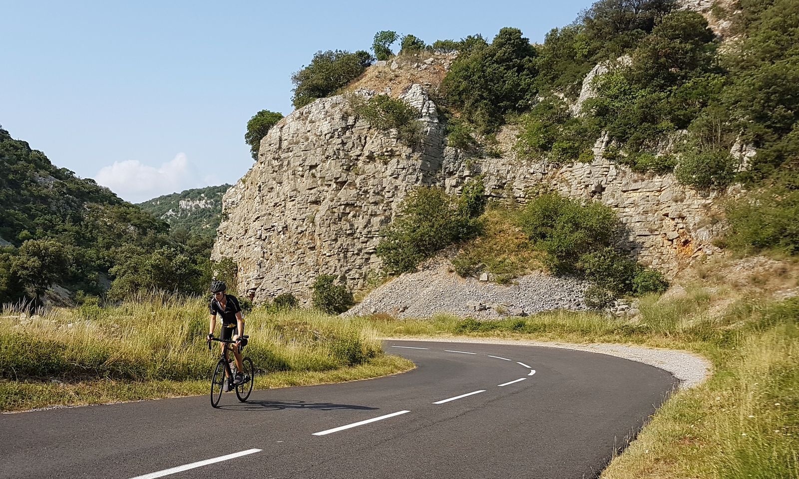
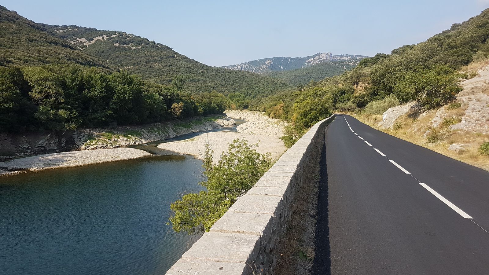
Leave Saint-Guilhem by continuing to follow the Hérault gorges upstream. The road is magnificent, although relatively busy in season. The clear water below invites contemplation or a swim.
3
After 10 km, the road turns left and leaves the river course. You then start a steady, not very steep ascent, 5 km for 210 m of elevation gain. You climb onto the causse then reach Causse-de-la-Selle, where you turn left. After a slight climb, you plunge onto the magnificent descent that takes you to Saint-Jean de Buèges, having offered you breathtaking viewpoints.
4
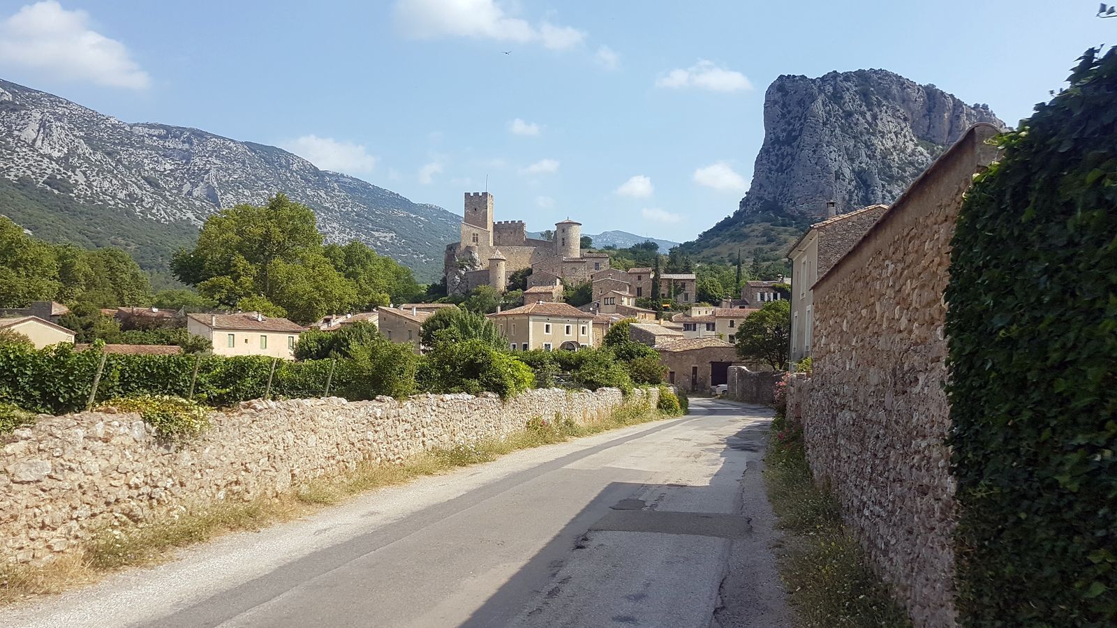
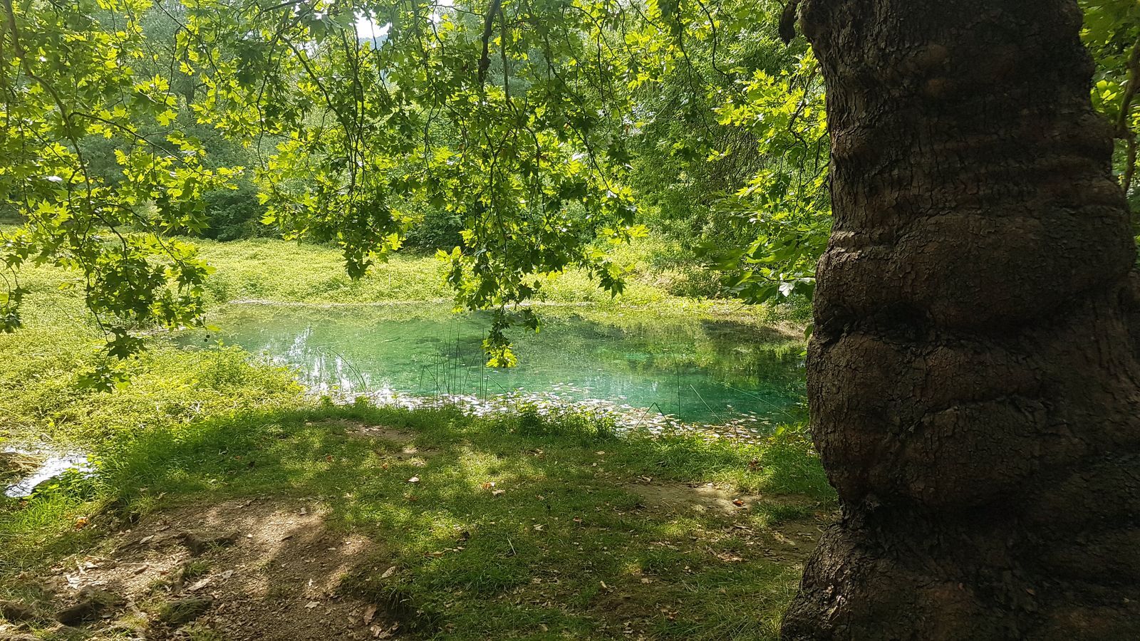
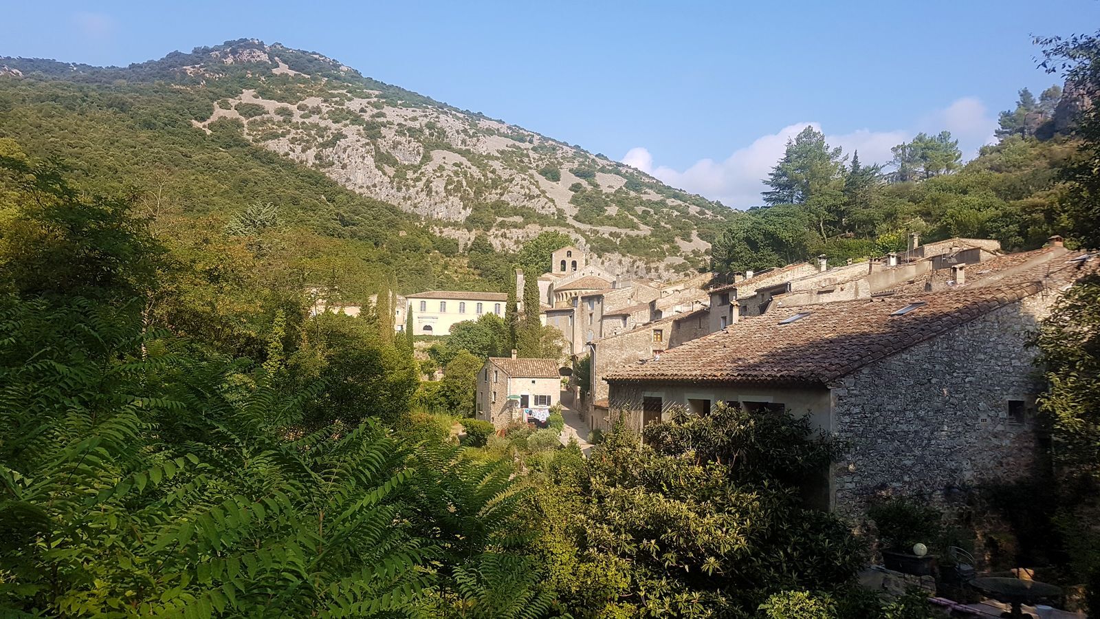
You arrive at Saint-Jean-de-Buèges, a pretty medieval village surrounded by mountains and nestled against the imposing Roc de Tracastel. You now leave the village via the D122 following the Buèges to its source, 3 km further on, which you can visit by a very small, well-marked detour. The resurgence forms here a beautiful basin, emerald in color, filled with water filtered by the limestone rock. Resuming the road, you can see high up on your left the lovely perched village of Pégairolles-de-Buèges.
5
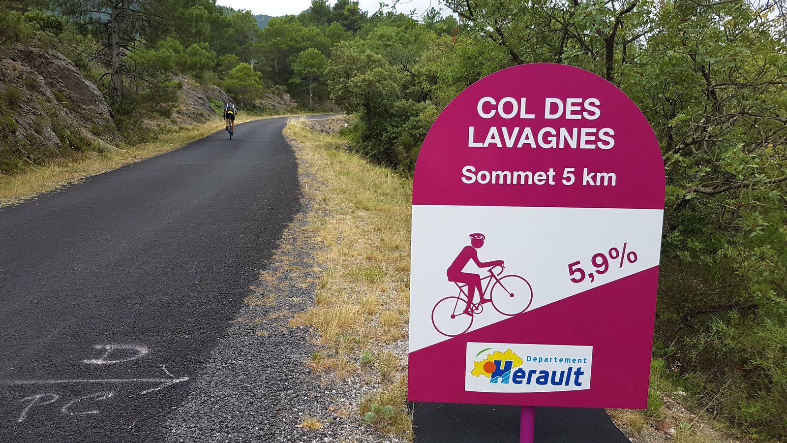
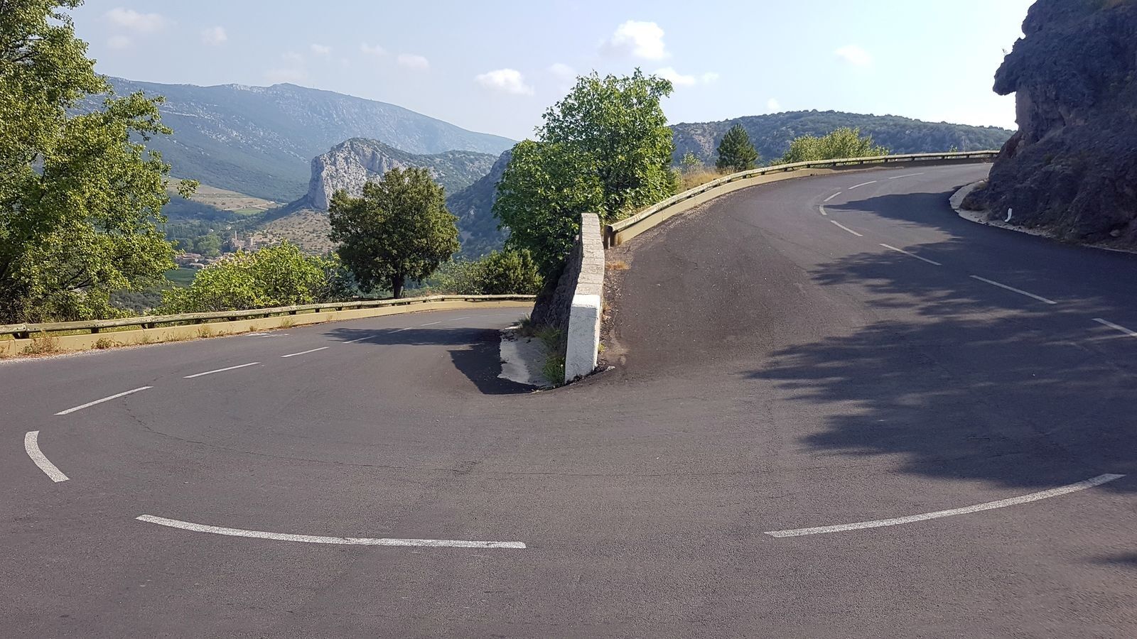
At the foot of Pégairolles, you begin the difficult ascent of the col des Lavagnes, a little more than 6 km of climbing for about 370 m of elevation gain. The surface is granular, the road narrow and winding, with irregular slope sections, frequently between 8 and 10%. Adding the heat of a summer sun, you can understand why this is called a challenging climb. The effort is well rewarded by the beauty of the panorama. You climb a narrow valley in the Saint-Guilhem-le-Désert state forest. Olive trees along the road quickly give way to scrubland and rocks. Once at the top, you are somewhat at the end of the world...
6
You then cross a plateau with a slight downhill gradient over about 6 km, dominated on the right by Mont Saint-Baudille and its distinctive antenna. The road is quite worn. Then you begin a long downhill section to Montpeyroux. Gradually you discover the Hérault plain beneath you, where vineyards replace the causse.
7
You pass through the pleasant village of Montpeyroux, notably at the foot of its surprising open-air bell tower, then reach Saint-Jean-de-Fos 4 km further on, still on a descent. The village developed in the 11th century following the construction of the famous Pont du Diable, which was an important relay on the route between the two abbeys of Gellone and Aniane. Saint-Jean de Fos is also known for its ceramic production. Argileum – Pottery Museum allows visitors to discover an authentic 19th-century workshop remarkably restored and offers a unique, fun route around this expertise.
8
A slight descent and you are back at the Pont du Diable, your starting point.
Line 668 Pont du Diable Stop
Line 668 Pont du Diable Stop
Route not recommended for beginners, best avoided during the summer season: the 10 km section along the Hérault gorges after Saint-Jean-de-Fos sees quite heavy seasonal traffic. Be cautious on the road descending from the col des Lavagnes (narrow and winding road, the surface may present some hazards).
"Hérault à Vélo" road signs
+33 4 67 67 71 71
Hérault Tourism
Hérault Bike

Oblíbené prohlídky v okolí
- 5.0
DRAILLES HIKE
světloTuristika 7.16 km RAVIN DES ARCS HIKE
středníTuristika 3.83 kmCIRQUE DE NAVACELLES AND MOULINS DE LA FOUX HIKING TRAILS
středníTuristika 9.73 kmRANDONNEE DE PEYRE MARTINE
středníTuristika 15.4 kmHIKING OF THE FENESTRETTES
středníTuristika 10.4 kmNAVACELLES HIKE - CAUSSE AND VIS GORGES
středníTuristika 19.6 kmHIKING OF THE SERRE DE GRENOUILLET
středníTuristika 7.70 kmHIKING OF THE BALCONIES OF THE HERAULT
středníTuristika 17.9 kmMONT SAINT-BAUDILLE HIKE
středníTuristika 10.4 kmHIKE OF NOTRE-DAME-DU-LIEU-PLAISANT
středníTuristika 11.1 km
Pěší turistika a stopování


Nenechte si ujít nabídky a inspiraci pro vaši příští dovolenou
Vaše e-mailová adresa byl přidán do poštovního seznamu.





