






Most cycle route
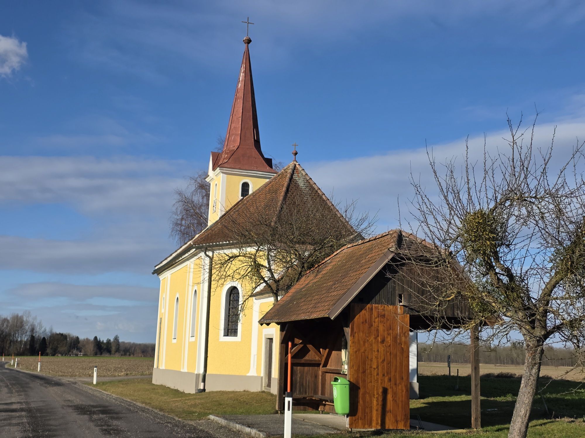
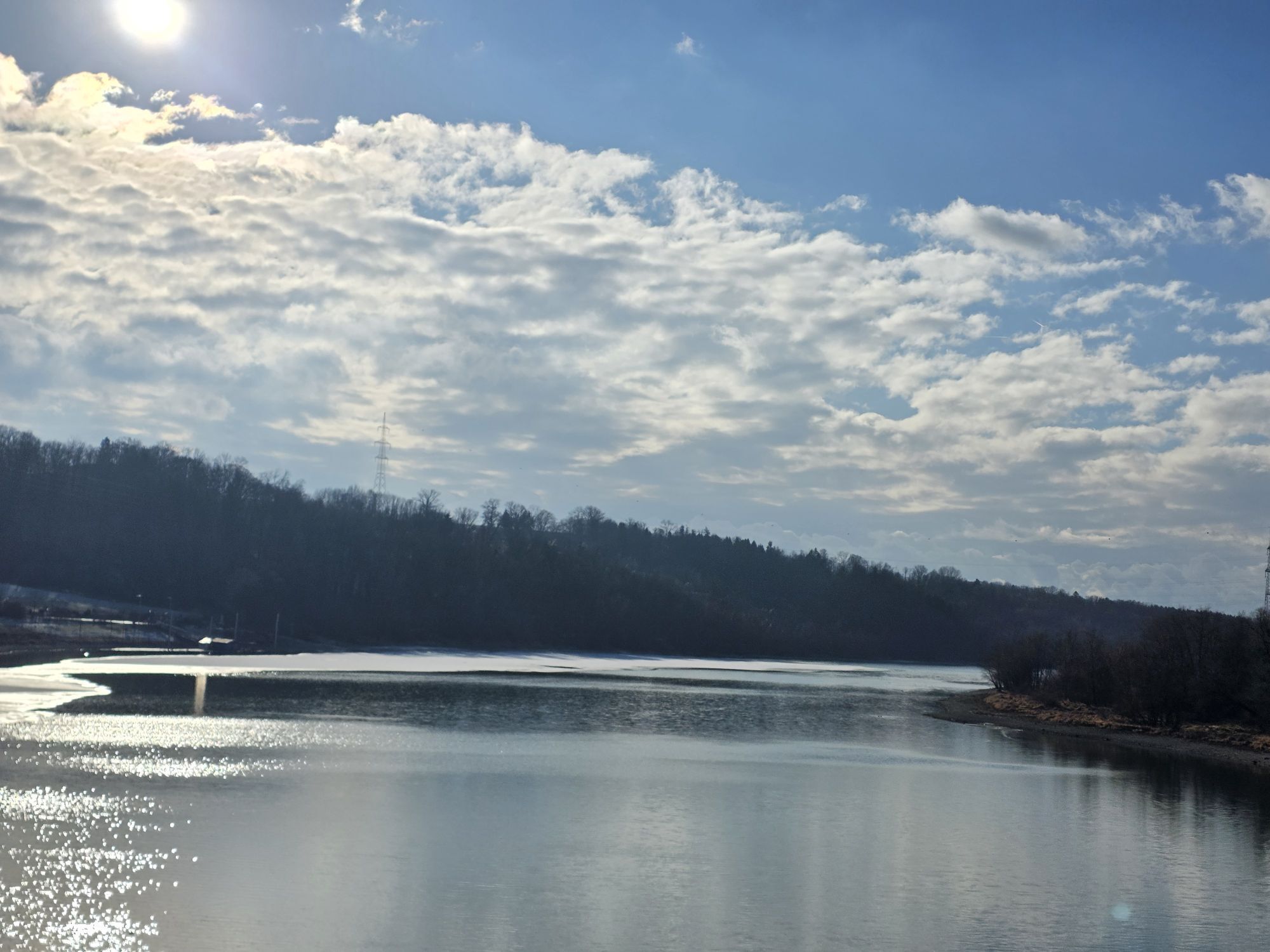
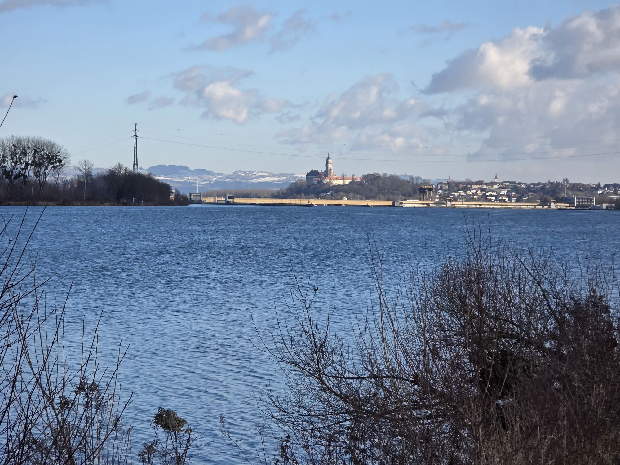
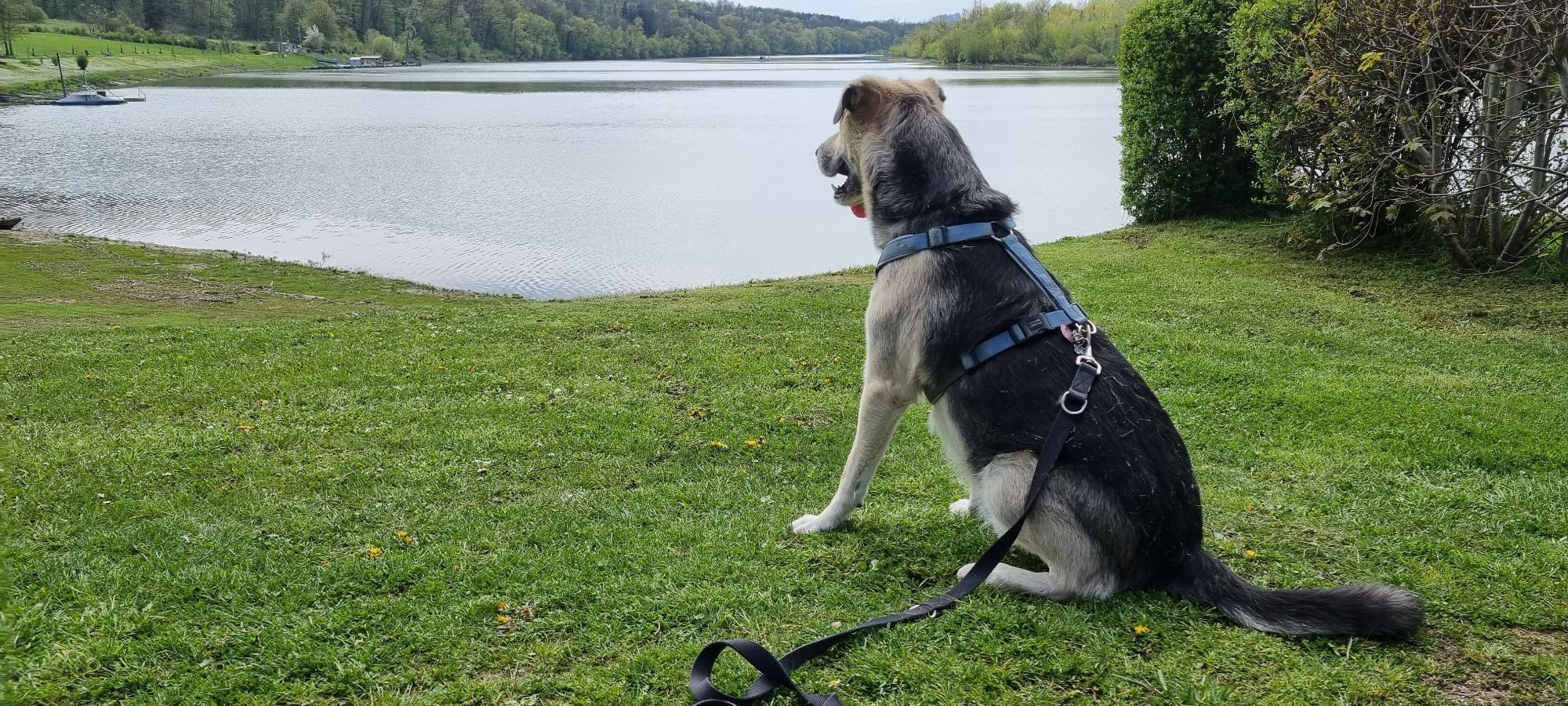
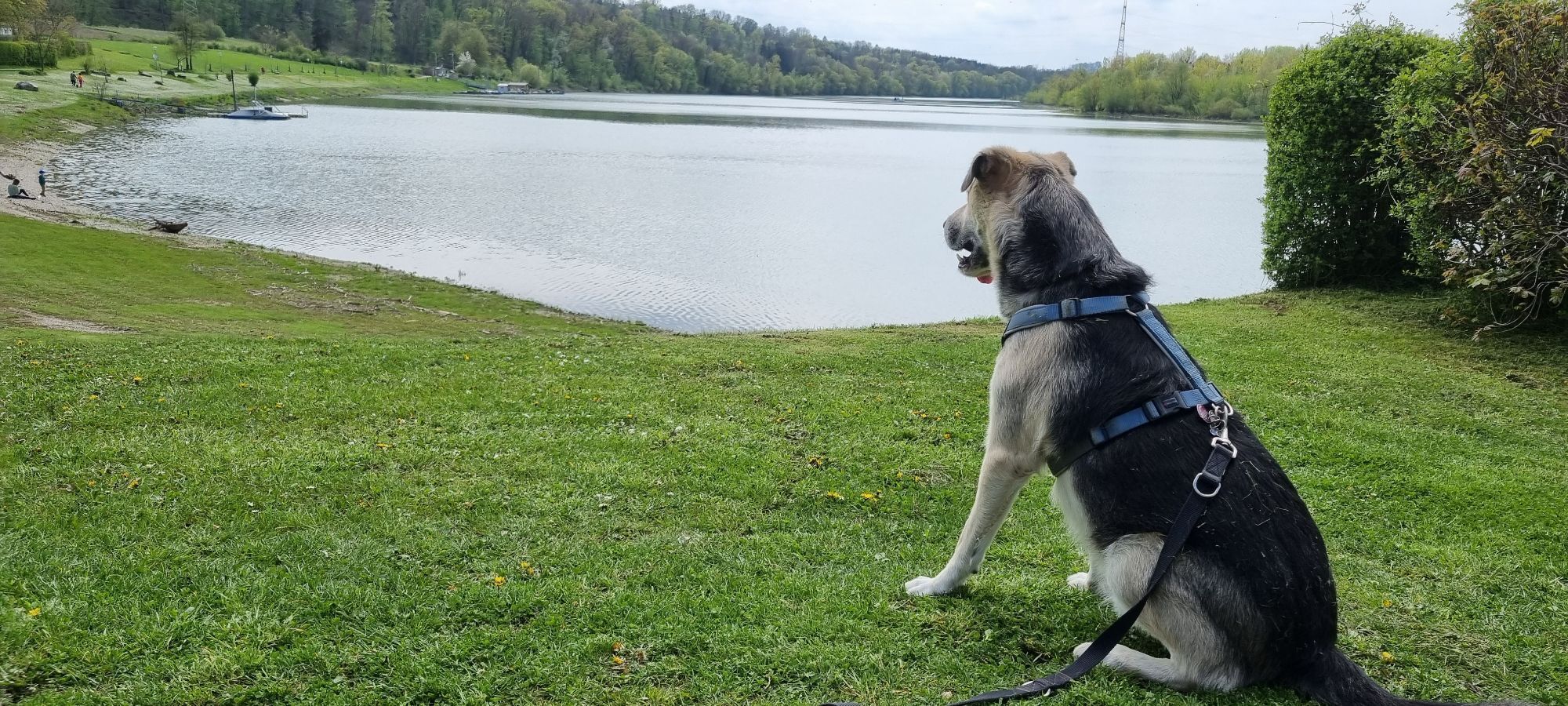
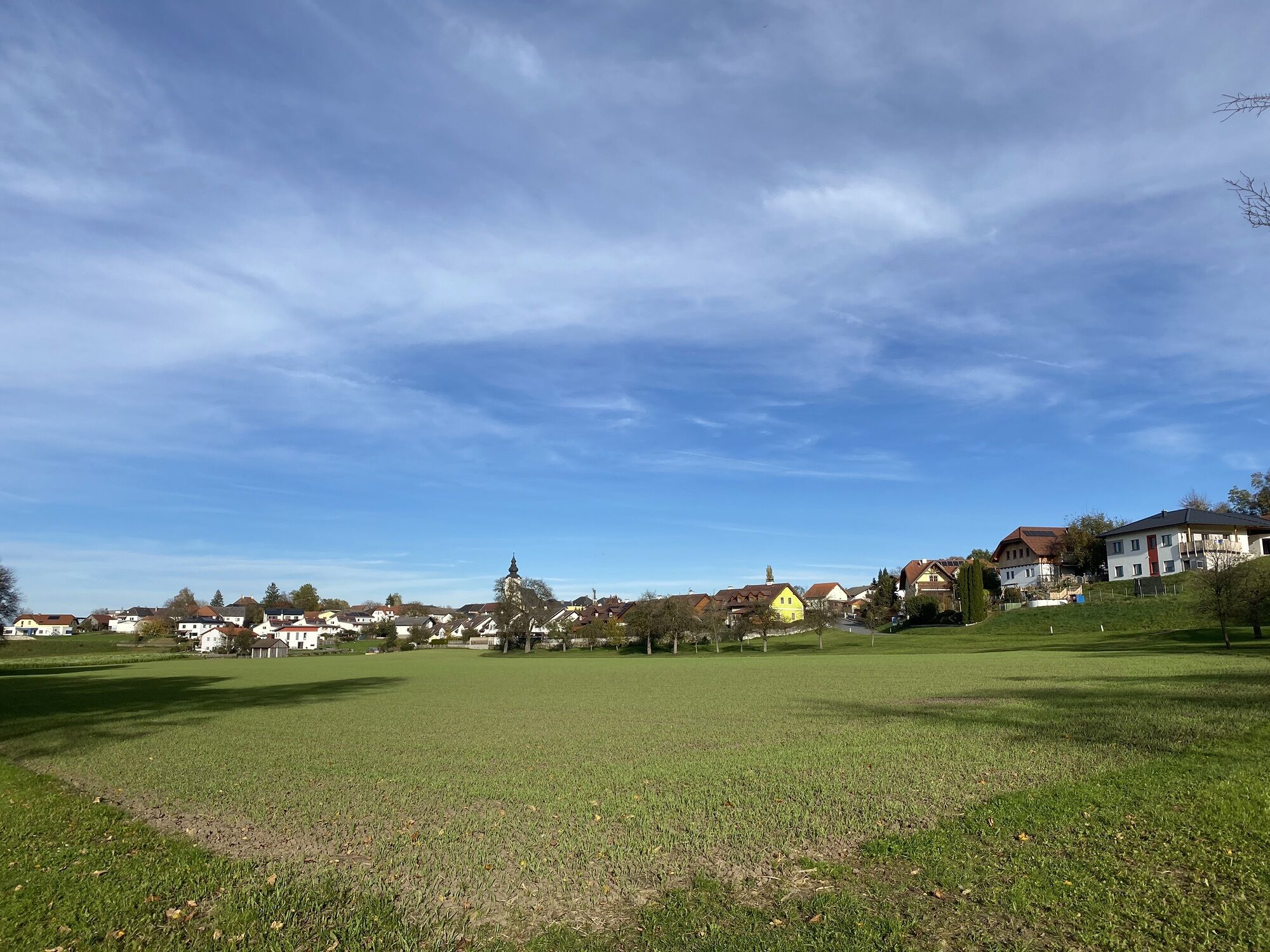
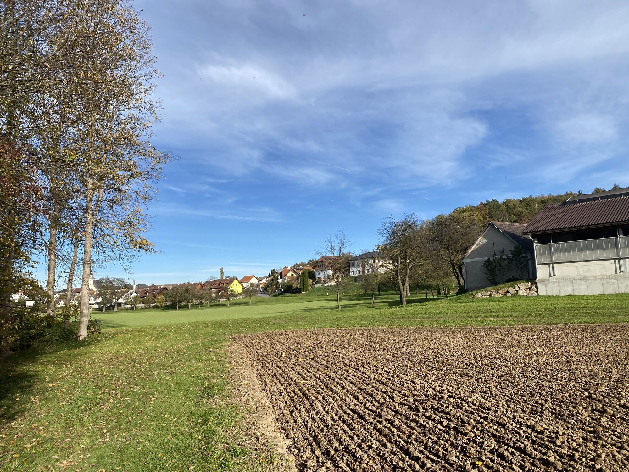
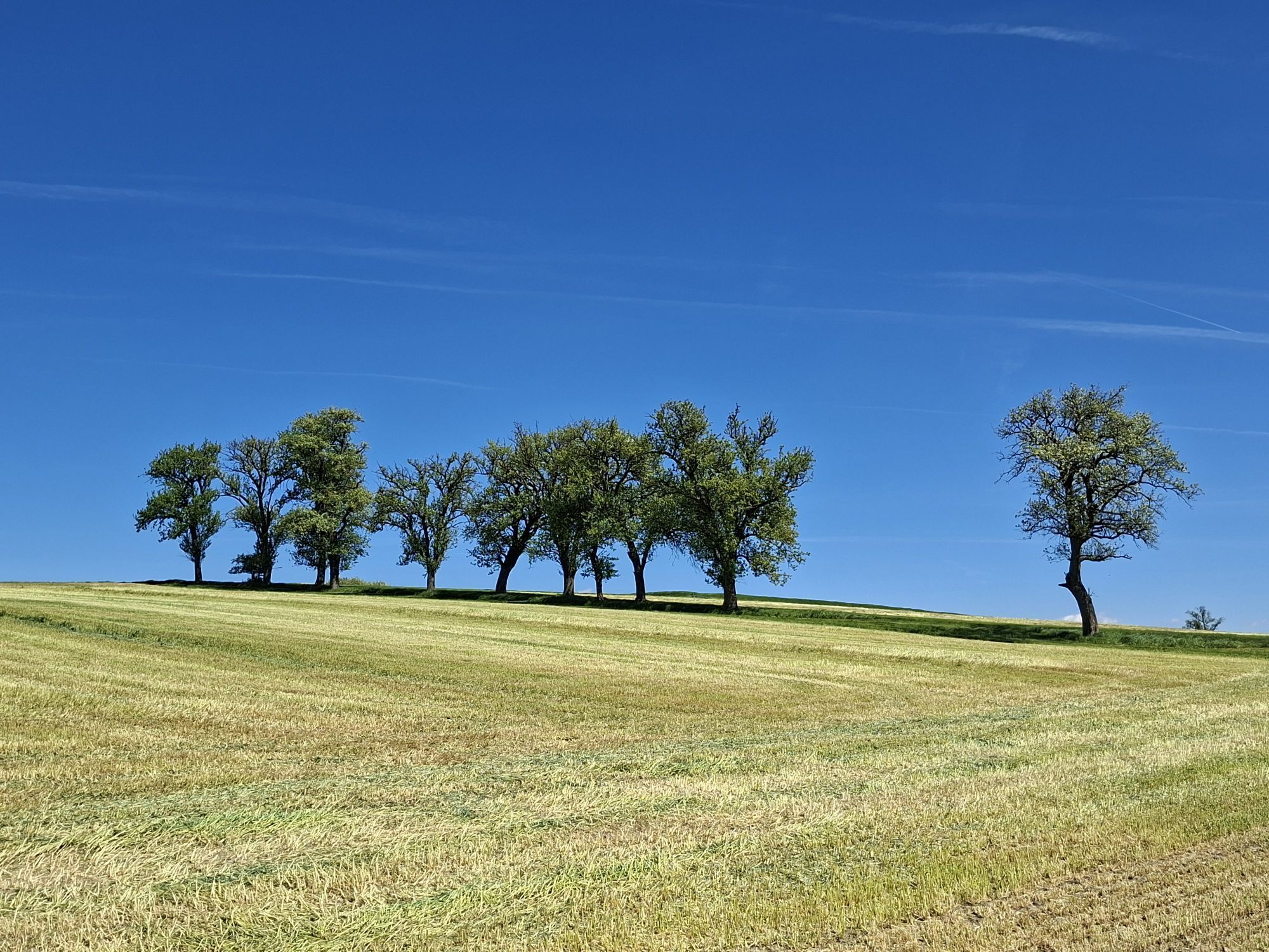
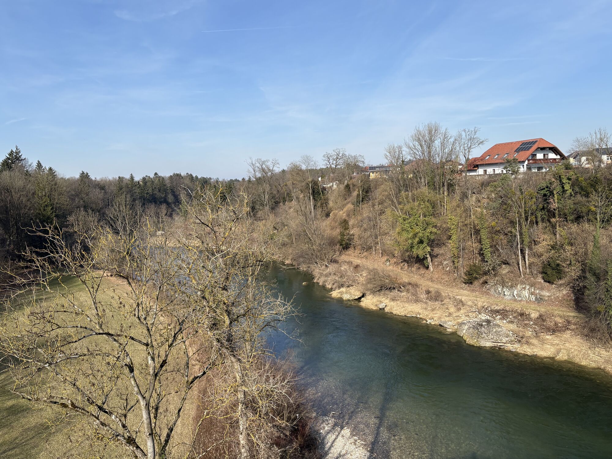
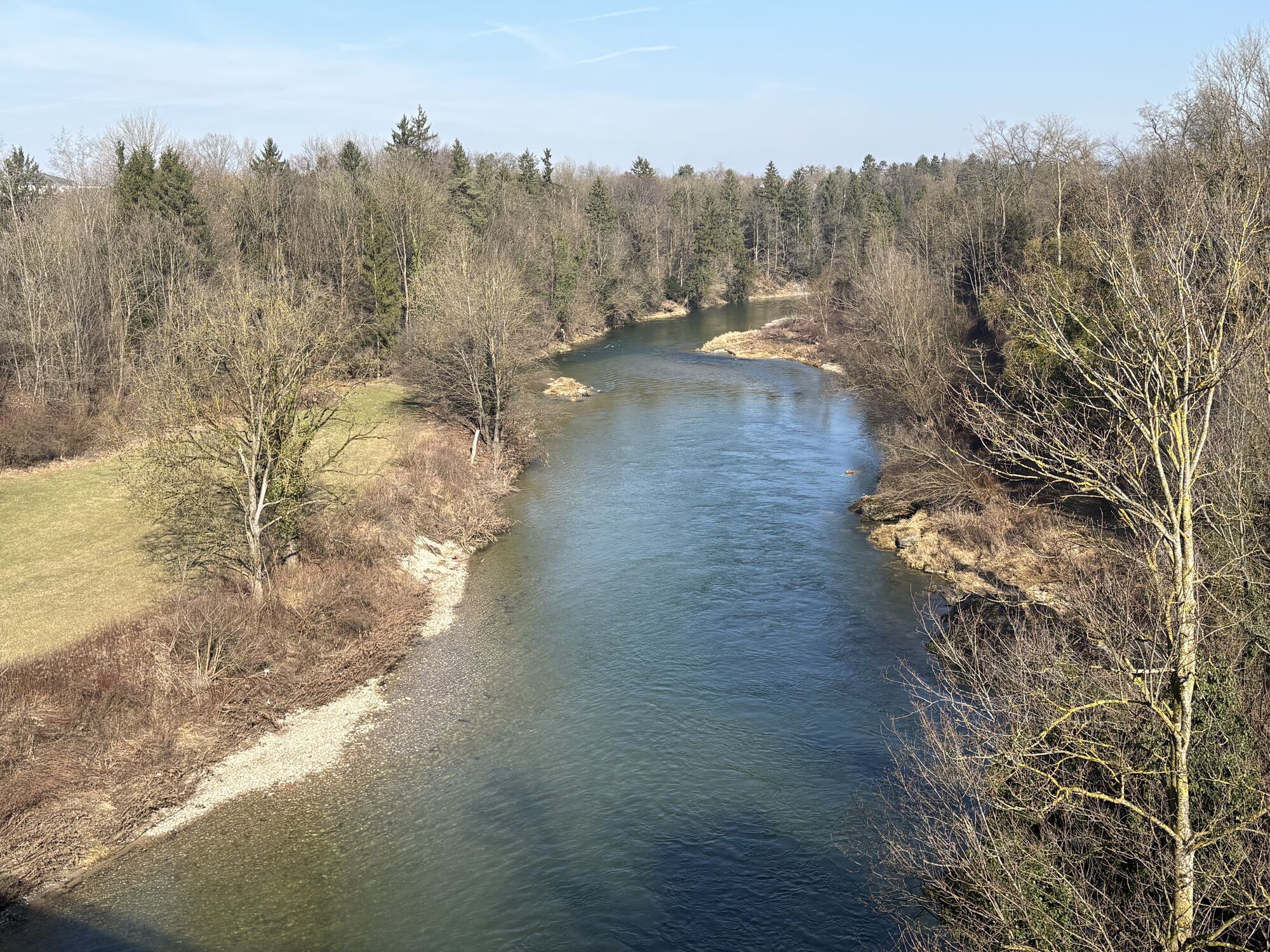
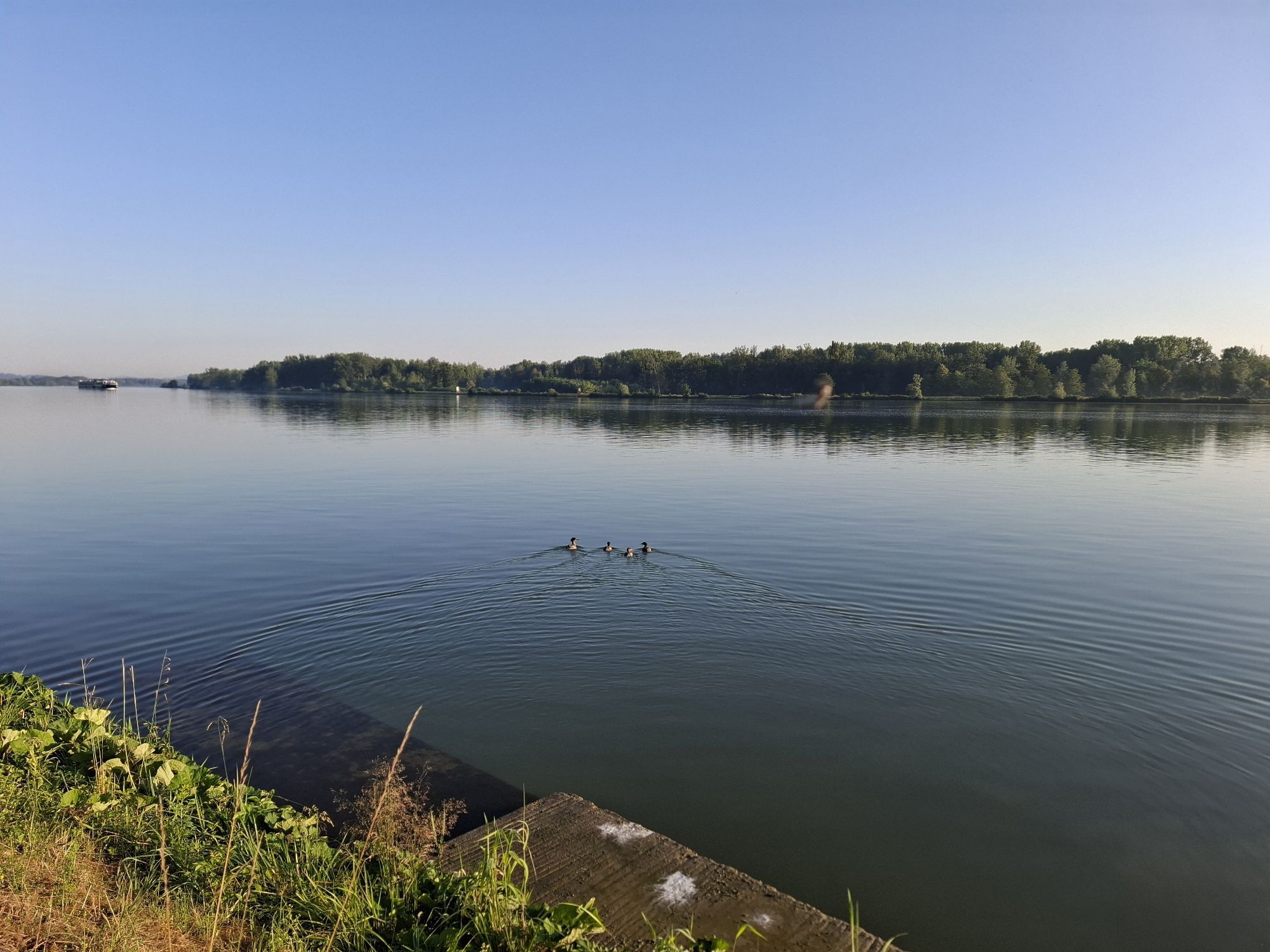
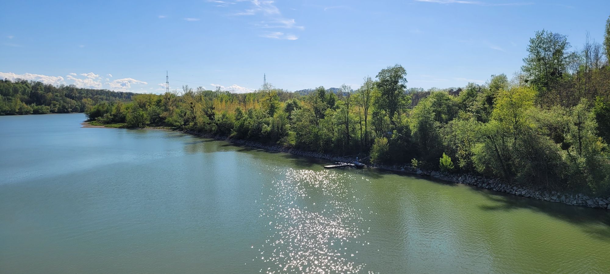
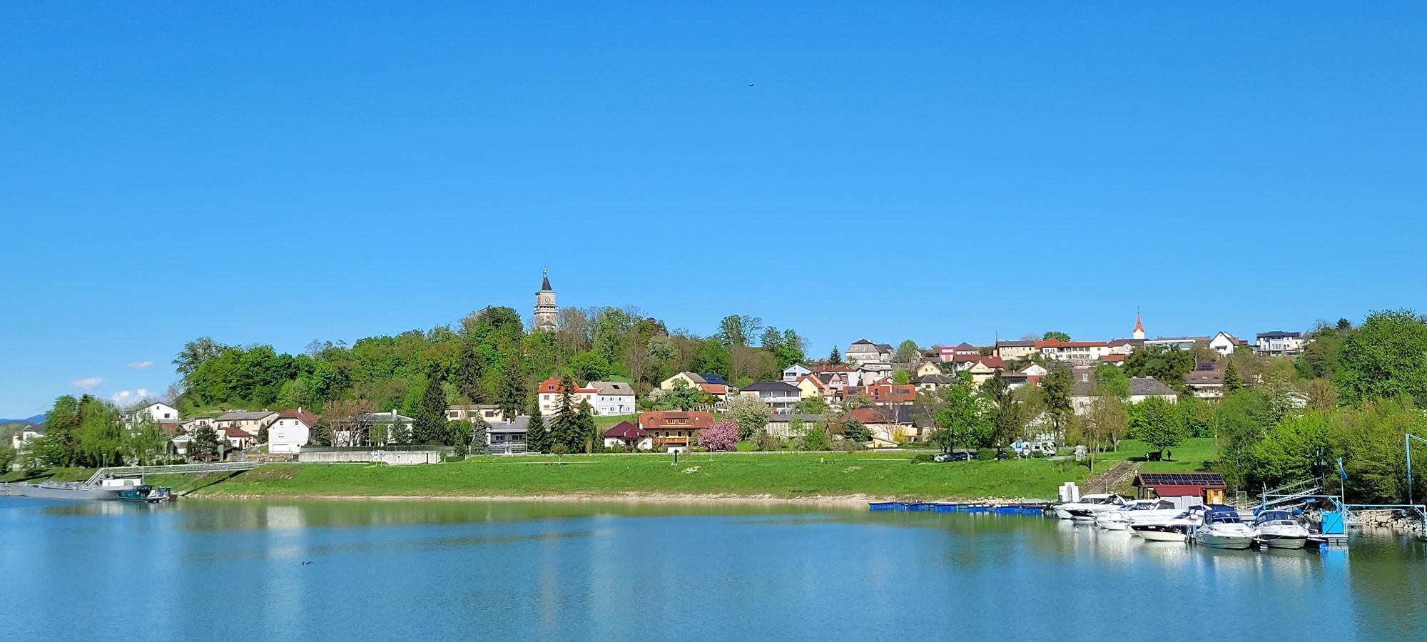
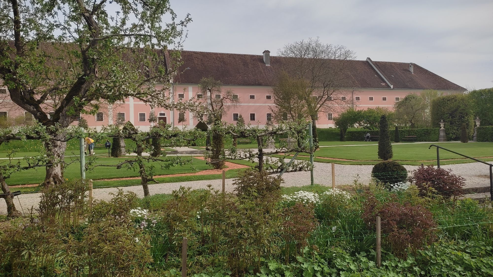
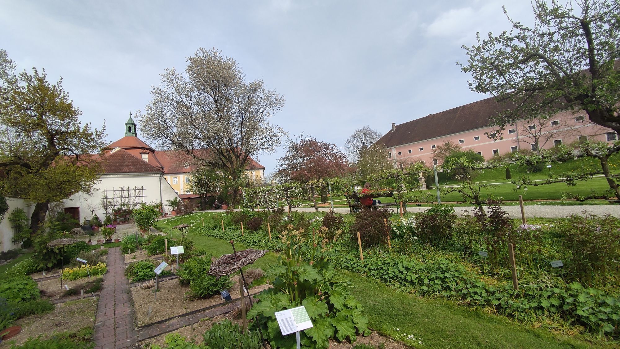
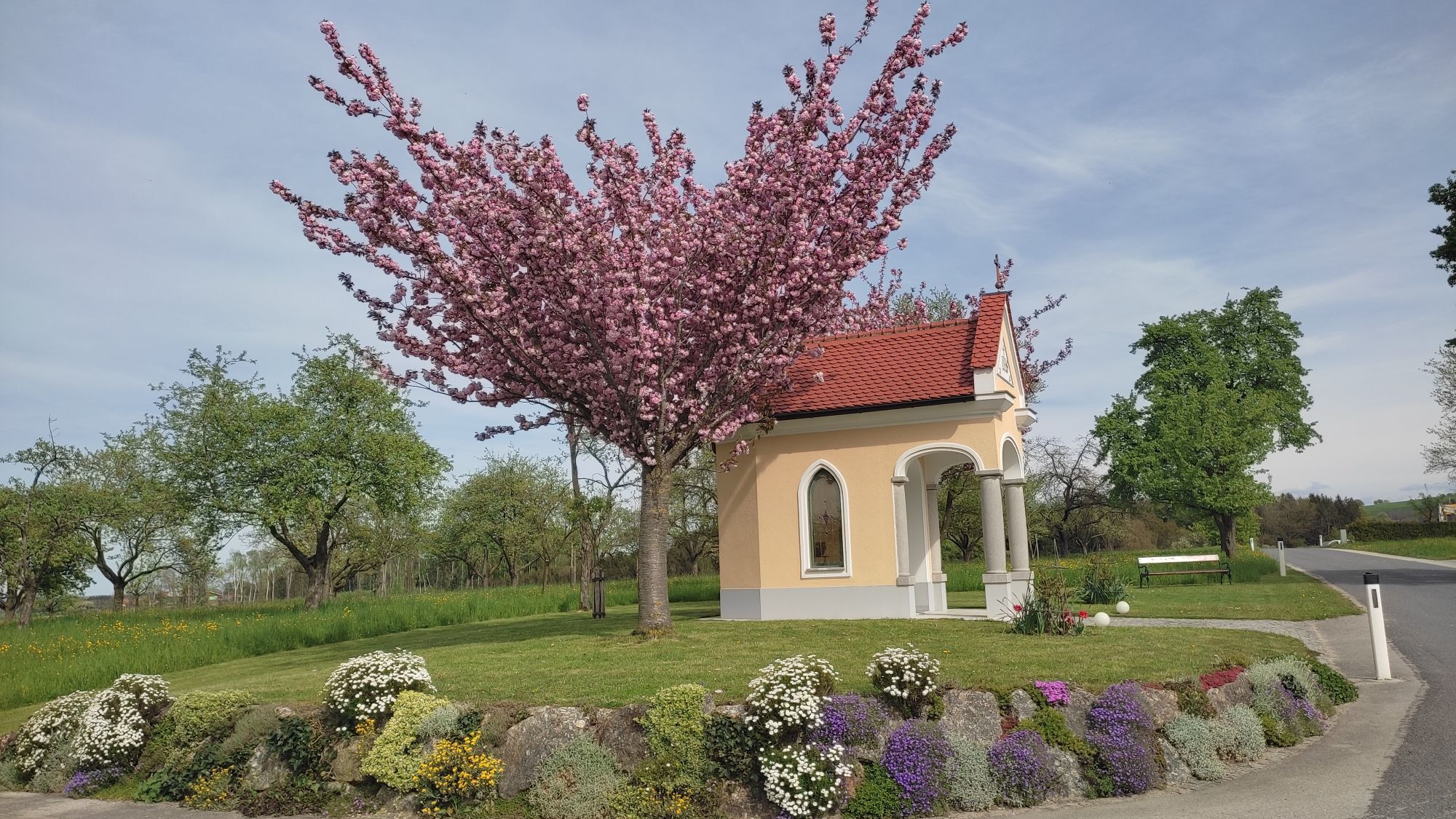
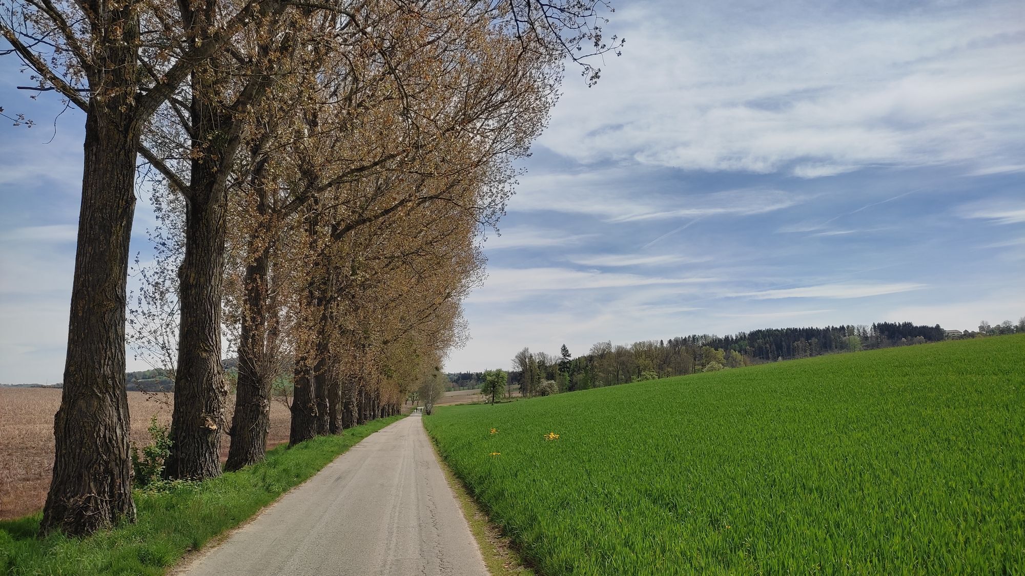
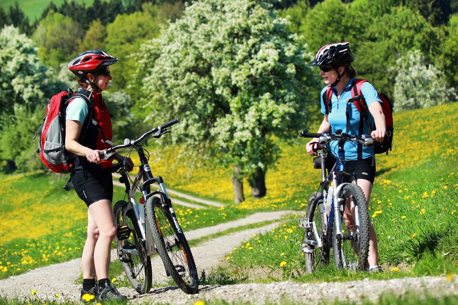
The Most cycle route combines an impressive variety of landscapes. From the Danube floodplains, you cycle to the gently rolling foothills of the Alps and enjoy breathtaking panoramic views. Mighty square...
<p>The Most cycle route combines an impressive variety of landscapes. From the Danube floodplains, you cycle to the gently rolling foothills of the Alps and enjoy breathtaking panoramic views. Mighty square farms, friendly villages, and Most pear tree arbors line the route.</p><p>Numerous beautiful places invite you to linger and visit: the baroque Seitenstetten Abbey with its historic garden, the Mostviertel farmers’ museum in Gigerreith (Amstetten), the Ostarrichi cultural center in Neuhofen an der Ybbs, the parish churches and the viewpoint at St. Michael am Bruckbach (south of St. Peter in der Au), the open-air museum in Haag, and Ardagger Stift with the church of the former abbey.</p><p>Note: The cycle route is signposted in both directions and can be ridden in the opposite direction as well.</p>





<strong>Stages: </strong>Amstetten > Neuhofen > Seitenstetten > Haag > Erla > Wallsee > Amstetten<strong>Length:</strong> 110 km<strong>Surface:</strong> Almost entirely paved secondary roads<strong>Traffic:</strong> Almost continuously little to no traffic, although some sections on slightly busier roads<strong>Signage:</strong> own markers with red line or red pear<p>Starting from the station in <strong>Amstetten</strong>, the route runs the first 8 km through Allersdorf and southwards to Euratsfeld, mostly flat. Then it continues slightly hilly to Neuhofen an der Ybbs. Shortly before Neuhofen, after about 14 km, a stop at the RelaxResort Kothmühle is recommended.</p><p>From <strong>Neuhofen</strong>, you cycle on a flat section to the west, continuing over Kröllendorf, where you cross the Ybbs river. The section between Kröllendorf, Abetzdorf near Kematen, and Biberbach is somewhat hillier again, but there are no significant climbs.</p><p>Shortly after Biberbach, there is a short climb to the highest point of the tour (398 m) before continuing towards <strong>Seitenstetten</strong> and St. Peter/Au. If you have time, you should make a stop at the historic courtyard garden of the Seitenstetten Abbey before continuing to Weistrach. In this Mostkirtag community, about half of the Most cycle route is completed.</p><p>From Weistrach, the Most cycle route leads again gently uphill and downhill alternately to the north to the animal park community of <strong>Haag</strong>. Especially for families who only cycle one stage of the route, a visit to the zebras, meerkats, and co. is recommended.</p><p>From Haag, the route continues northwards to St. Valentin, then follows a short climb with a descent to <strong>Erla</strong>. From Erla, it rolls flat further east to <strong>Wallsee</strong>, from kilometer 84 parallel to the Danube. At km 90, the route leaves the Danube, but the continuation to Ardagger is also very flat.</p><p>The last section of the route from Ardagger Markt via Ardagger Stift and Viehdorf is somewhat hillier again, until the endpoint at the station in <strong>Amstetten</strong> is reached after nearly 112 km.</p>
<p>Suitable for all types of bikes. Helmets are mandatory for children.</p>
<p>The Moststraße cycle route crosses the federal road several times. Please observe the traffic regulations! Groups with children are advised to dismount and push their bikes across the road together.</p>
<p>Westautobahn A1: Exit Amstetten-West or Amstetten East, then continue to the town center to the station.</p>
<p>By ÖBB or Westbahn to Amstetten.</p>
<p>Park & Ride parking near the station.<br />Note: short-term parking zone in Amstetten town center.</p>
Recharge and refresh along the route with a stop at the regionally typical Moststraße taverns and Most wine inns.
Získejte přehled Vždy živě na místě s více než 9 500 webkamerami. bergfex Jako uživatel Pro si nyní můžete zobrazit odpovídající webové kamery pro mnoho prohlídek v aplikaci prohlídky z. Můžete si tak přímo prohlédnout aktuální podmínky. Oblíbené prohlídky v okolí
- 4.1
Wallsee Altarmrunde
světloTuristika 8.19 km - 4.8
Burg Klam Rundweg
světloTuristika 10.9 km - 4.8
Clamrunde durch die Schlucht
světloTuristika 5 km - 4.5
R1.13 Okruh s výhledy na Alpy
středníJízda na kole 52.2 km - 3.8
Mitterkirchen: Devil's Path
světloTuristika 12.5 km - 3.8
Klam: Circular hiking trail Klam
světloTuristika 6.03 km - 4.2
Kelten-Radroute
světloJízda na kole 69.3 km - 3.0
Herz-Mostviertel-Tour
středníJízda na kole 63.8 km 5 Flüsse Radweg 973
světloJízda na kole 50.0 km- 5.0
Machlandweg R29
Jízda na kole 30.8 km
Pěší turistika a stopování


Nenechte si ujít nabídky a inspiraci pro vaši příští dovolenou
Vaše e-mailová adresa byl přidán do poštovního seznamu.





