


Klam: Circular hiking trail Klam
Fotografie našich uživatelů

 © PillwatschfranziVytvořeno dne 11.03.2026
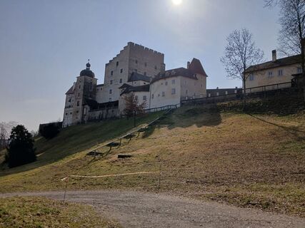 © PillwatschfranziVytvořeno dne 11.03.2026
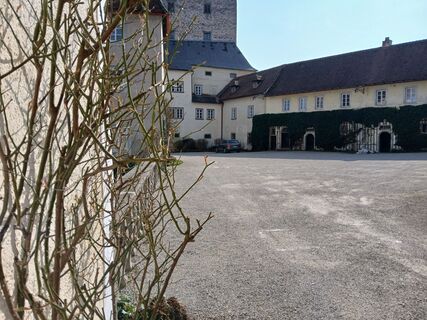 © PillwatschfranziVytvořeno dne 11.03.2026
 © josef duermoserVytvořeno dne 25.02.2026
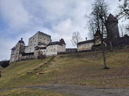 © josef duermoserVytvořeno dne 25.02.2026
 © josef duermoserVytvořeno dne 25.02.2026
 © josef duermoserVytvořeno dne 25.02.2026
 © Florian Leopold StonigVytvořeno dne 31.08.2025
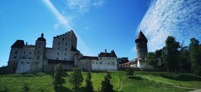
 © Klaus LehnerVytvořeno dne 20.08.2023
 © Klaus LehnerVytvořeno dne 20.08.2023
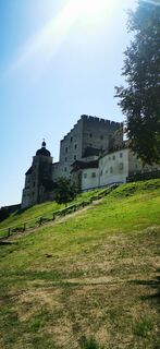 © Klaus LehnerVytvořeno dne 20.08.2023
 © Klaus LehnerVytvořeno dne 20.08.2023
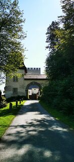 © Klaus LehnerVytvořeno dne 20.08.2023
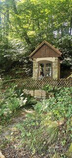 © Klaus LehnerVytvořeno dne 20.08.2023


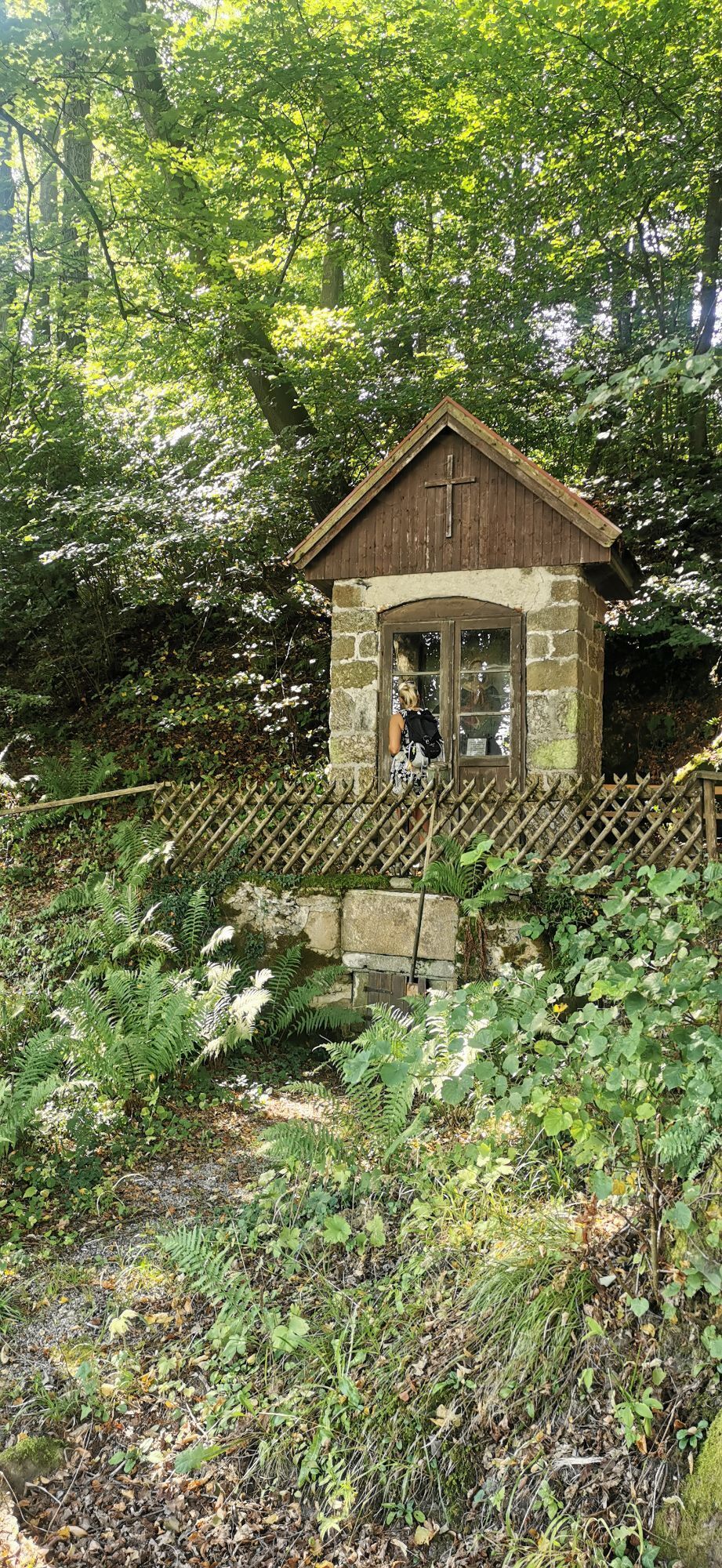
INTERESTING POINTS ALONG THE WAY:
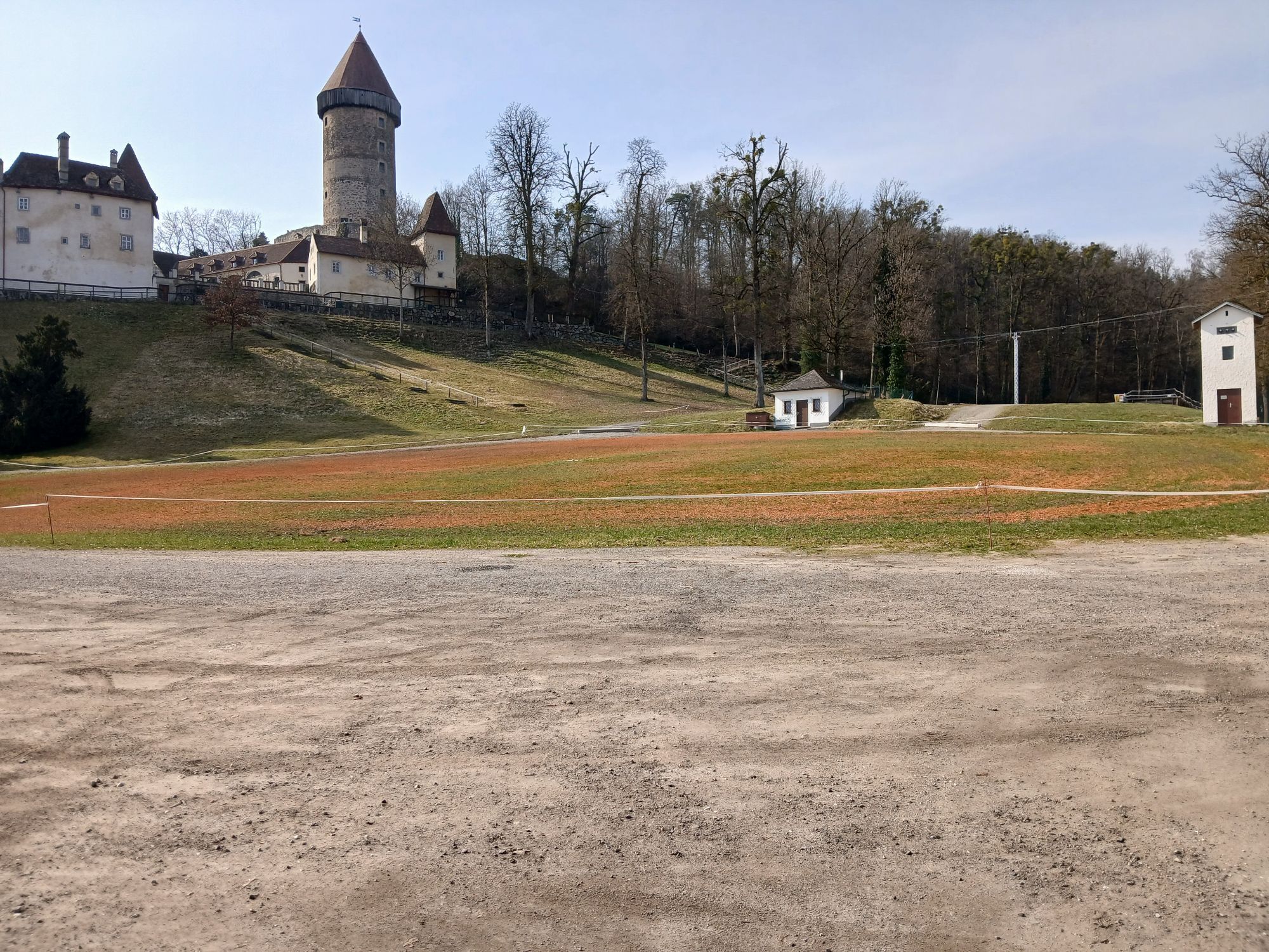
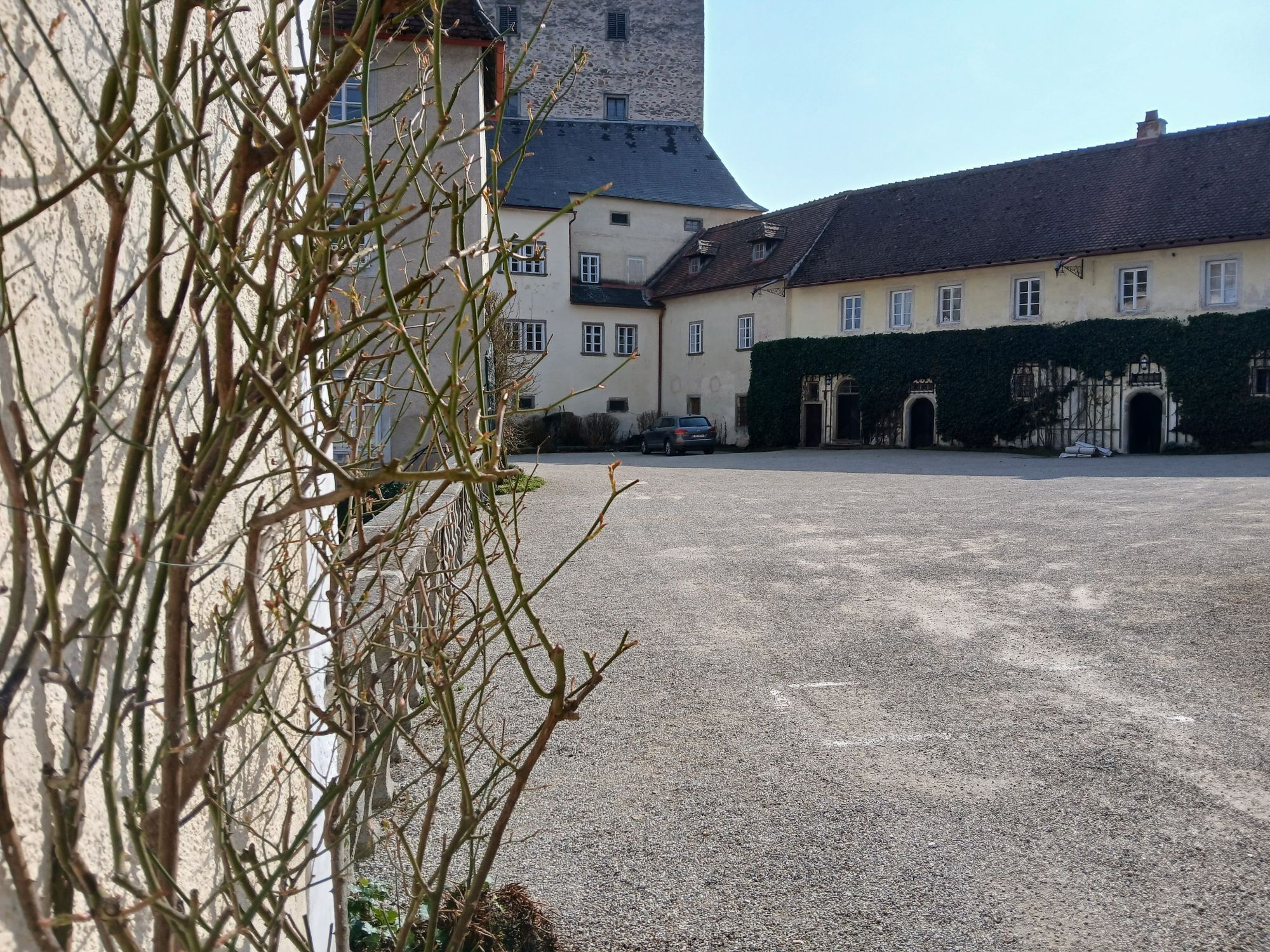
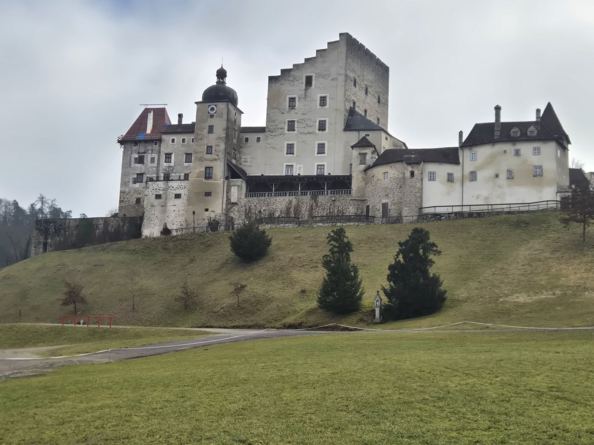
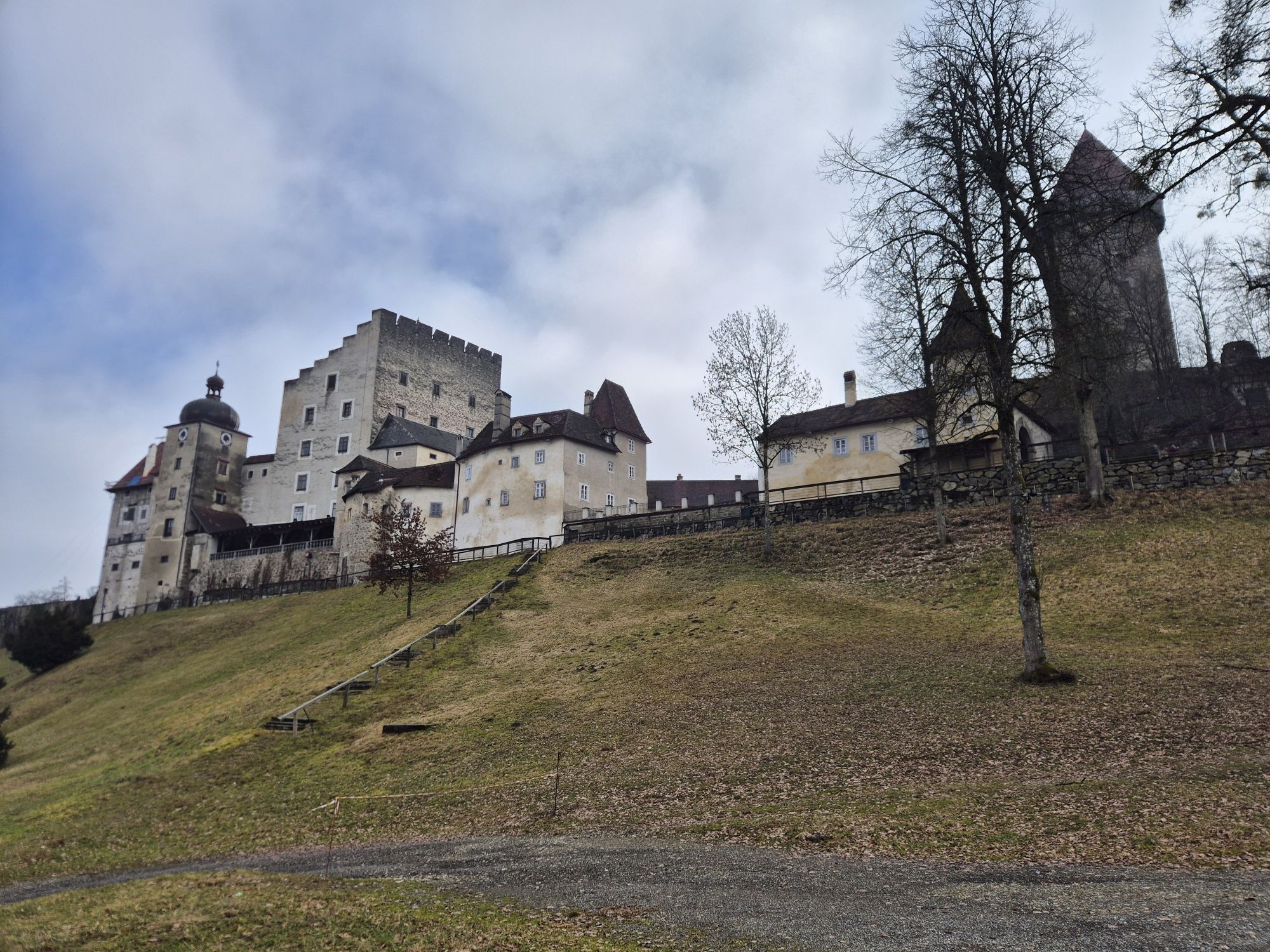
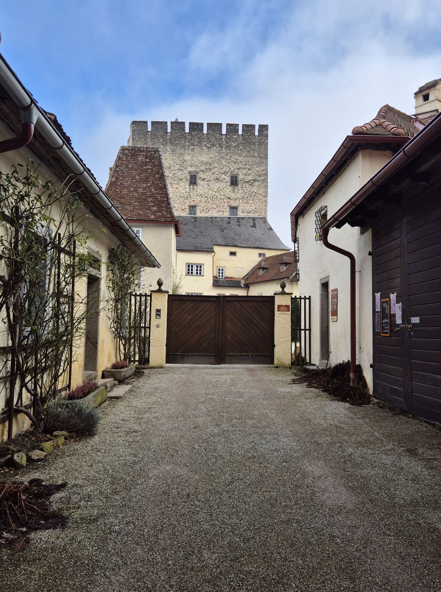
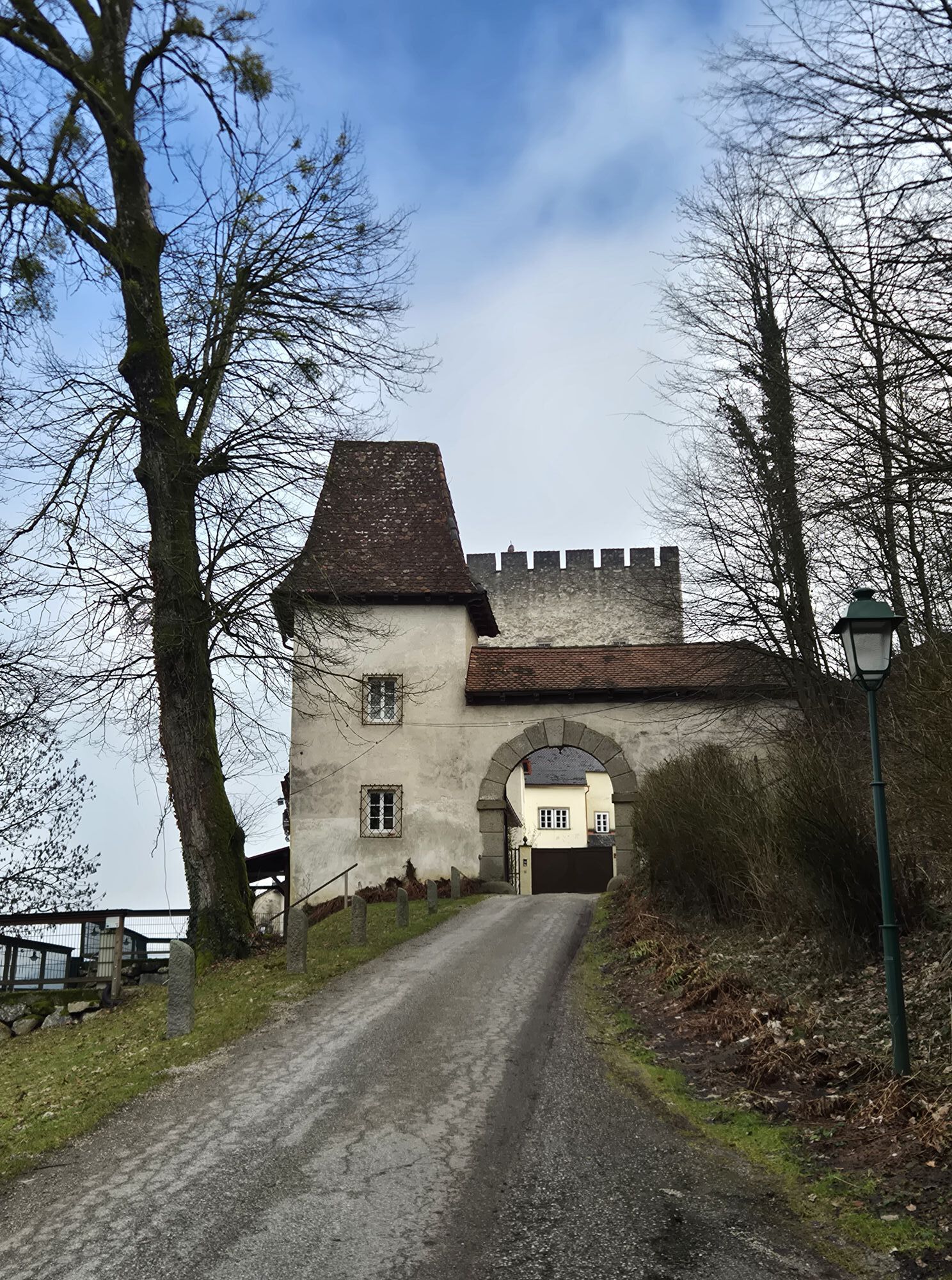
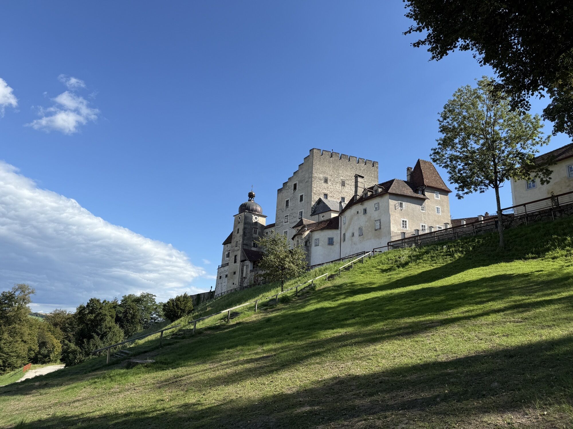
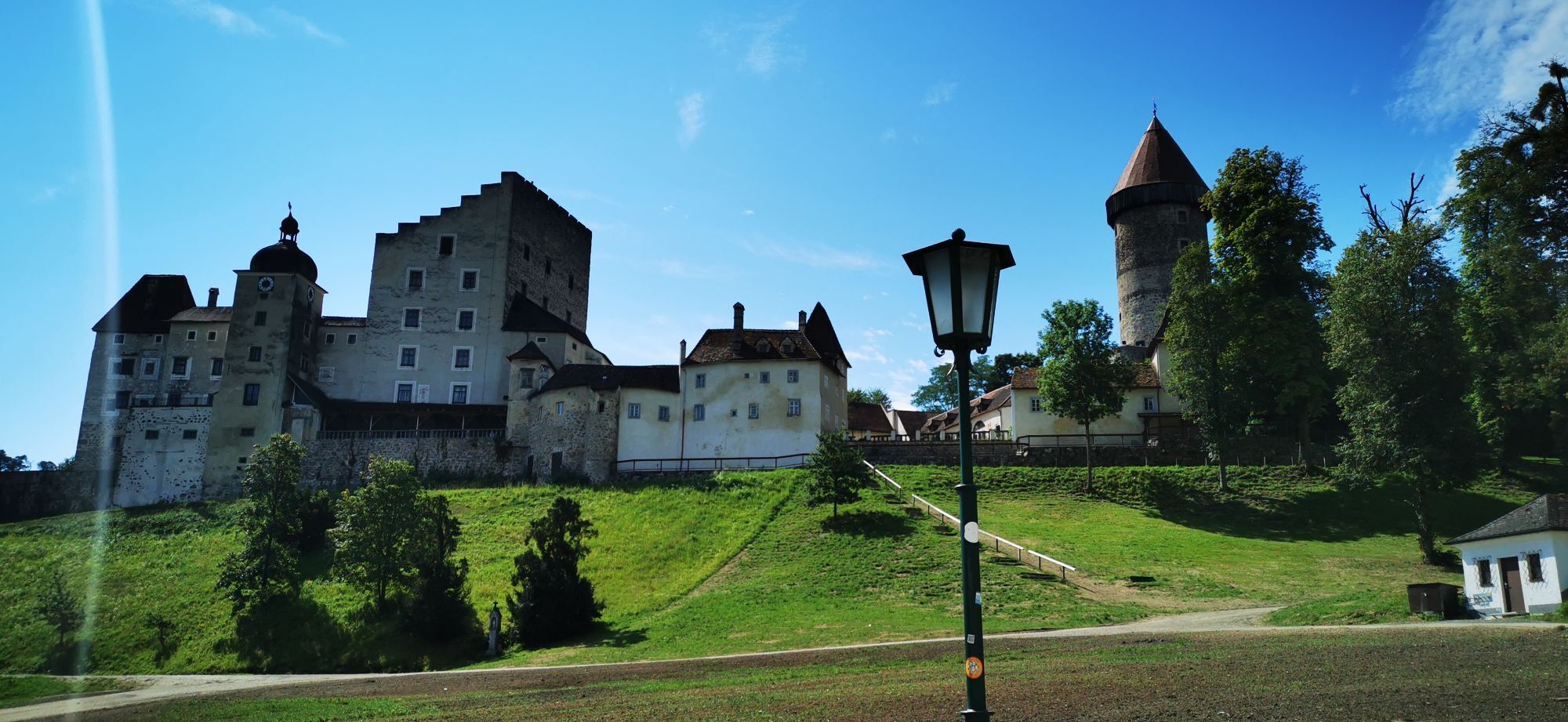
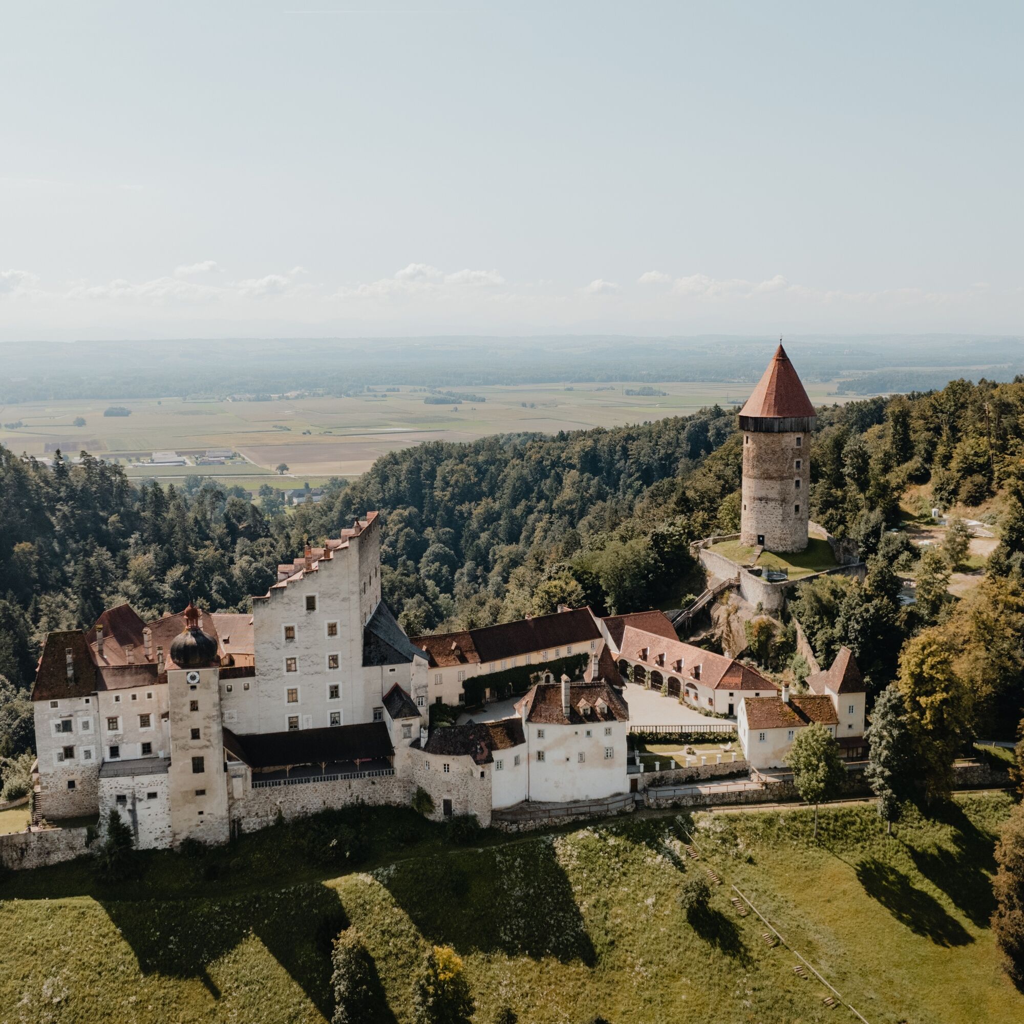
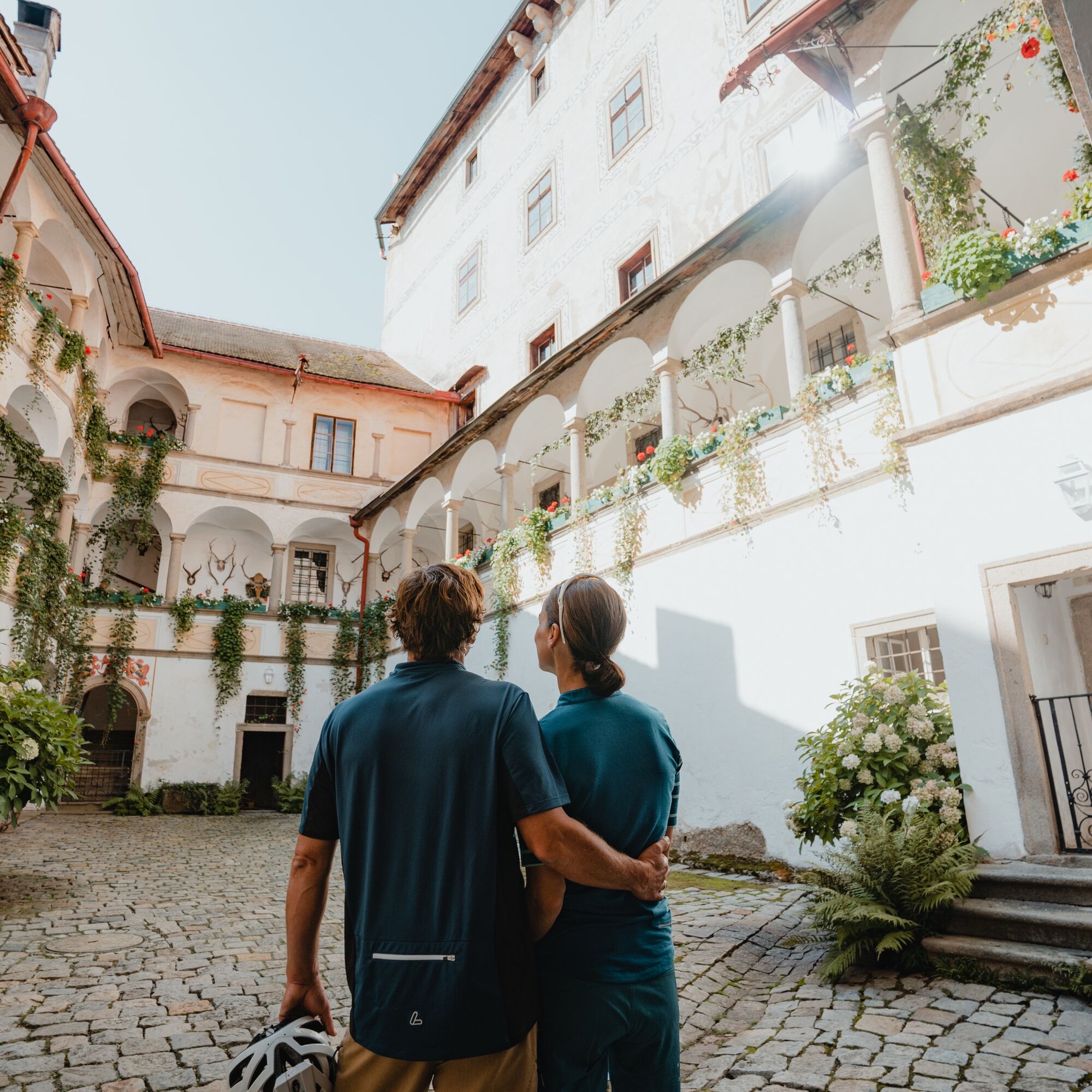
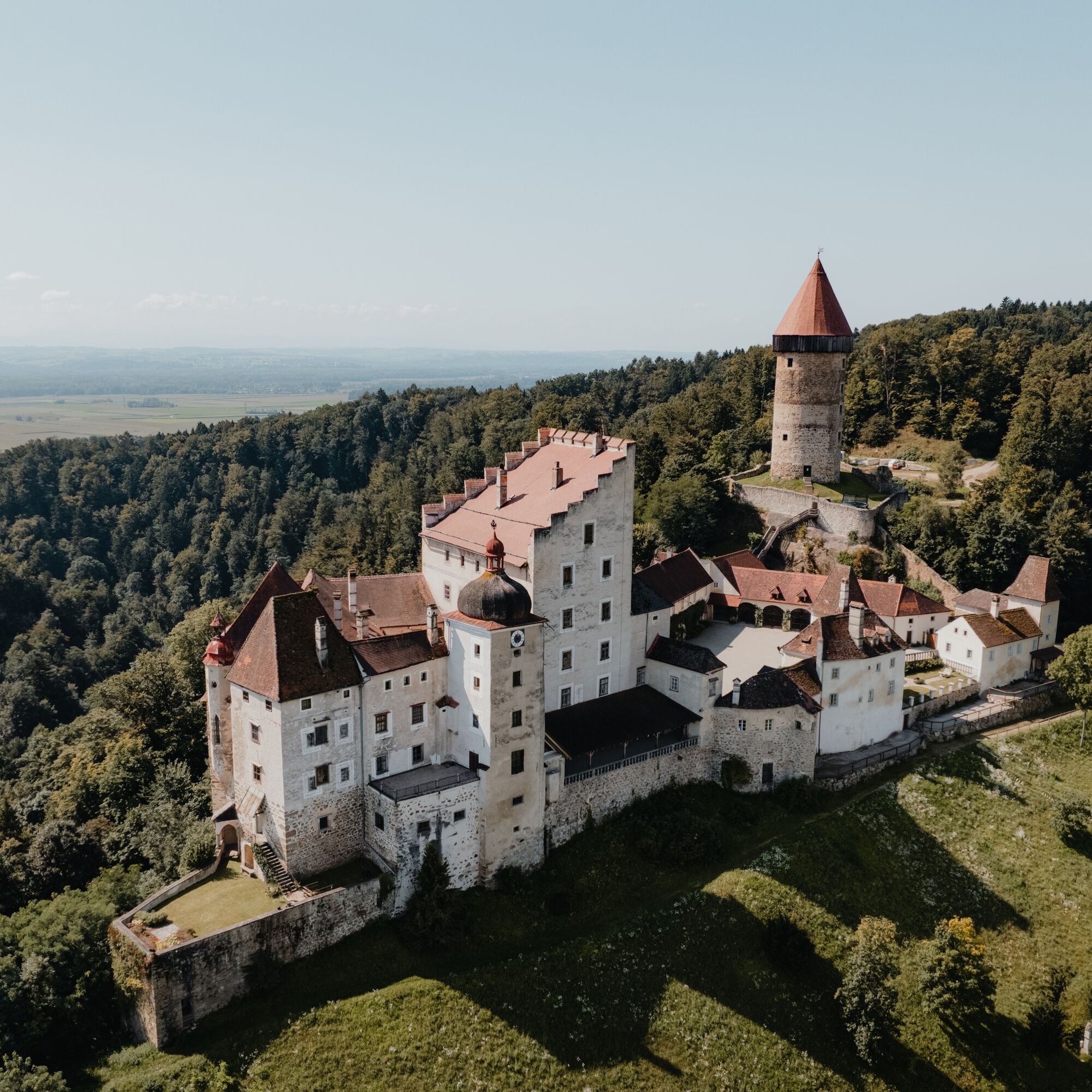
Clam Castle, May 1st - Oct 31st daily 10am-4:30pm (last tour)
SPIRITUAL HIKING ON THE DONAUSTEIG:
The root of the word “Sinn” (meaning) is something like primal ground....
INTERESTING POINTS ALONG THE WAY:
Clam Castle, May 1st - Oct 31st daily 10am-4:30pm (last tour)
SPIRITUAL HIKING ON THE DONAUSTEIG:
The root of the word “Sinn” (meaning) is something like primal ground. One goes to the foundation of existence to find meaning: contemplation.
Earth is the fertile basis for the growth of plants and of very diverse composition. As primal ground it also has a life-sustaining function for us humans, because “grounding” is necessary physically, mentally, and spiritually to withstand the hustle and bustle and hectic pace. For this I need a foothold. Sometimes however one loses the ground beneath one's feet, which means a crisis is looming. Or one is hanging in the air – which is quite insecure. When I “go to the ground,” i.e. all the way down to the primal ground of my soul, I can straighten up anew and continue strengthened.
Many mystics (Hildegard of Bingen, Francis, Eufrasia, Wilbirg...) have experienced this similarly and, like us, matured through crises.
With the symbolic power of “earth” I feel into my support and my security.
forest floor, gravel.... Sensing how I touch my ground, how it supports me. Feeling solid ground beneath me, rooting myself.

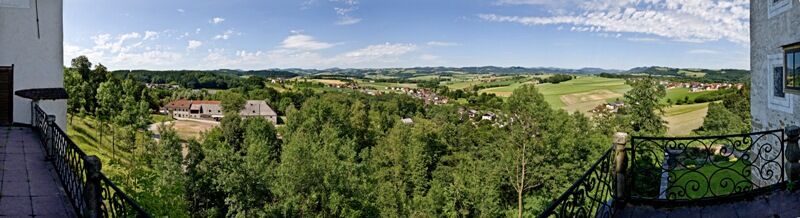
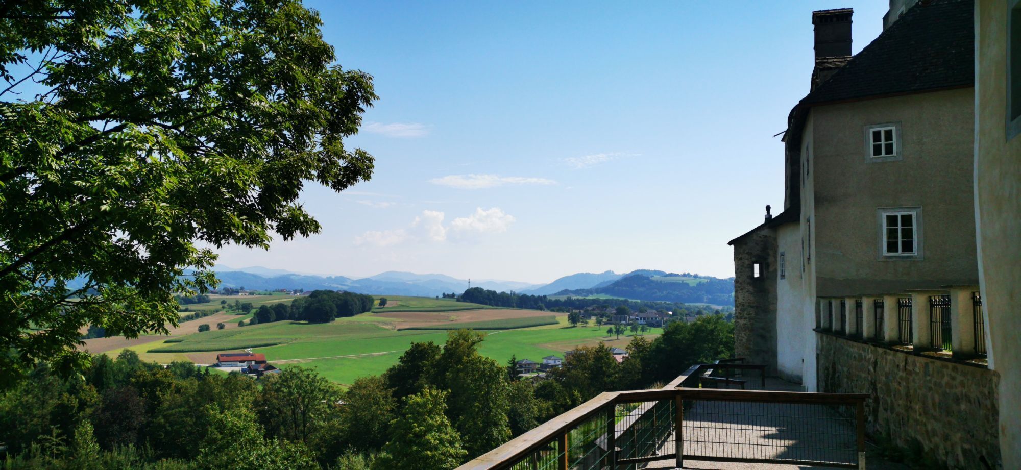
We start at the town hall in Klam and hike northeast. After about 300 m we turn left and walk on side roads to Linden. We keep the direction until the road bends left after the last farm. At the next intersection we turn left into the forest. After about 1.5 km we pass a farmhouse and continue south on the road. At the next intersection we meet the Donausteig and follow it back to Klam.
Hiking backpack (including rain cover), sturdy footwear
Coming from Vienna via the A1 to Ybbs, then continue on the B3 to Grein, there turn right towards Klam
Public parking opposite the town hall
Klam Market Town Hall
4352 Klam 43
Tel.: 0043(0)7269/7255
Fax: 0043(0)7269/7255-4
gemeinde@klam.at
www.klam.at
This route is presented to you by the Danube Upper Austria tourism region
Oblíbené prohlídky v okolí
- 4.4
Der Naturparkweg in Rechberg
středníTuristika 7.54 km - 4.6
Schwertberg: Weltstoarunde
světloTuristika 11.4 km - 4.5
Gobelwarte-Runde, Grein
středníTuristika 8 km - 4.4
Gobelwarte - Grein, Oberösterreich
středníTuristika 5.41 km - 4.6
Brandstetterkogel über Matras Steig
světloTuristika 6.28 km - 4.1
Wolfsschlucht - auf den Spuren adeliger Kurgäste
Turistika 2.29 km - 4.1
Wallsee Altarmrunde
světloTuristika 8.19 km - 4.9
Stillensteinklamm, Grein
světloTuristika 10.4 km - 4.9
Stillensteinklamm Rundweg über Struden
světloTuristika 12.6 km - 4.6
Die Blasenstein-Runde, Oberösterreich
středníTuristika 11.8 km
Pěší turistika a stopování


Nenechte si ujít nabídky a inspiraci pro vaši příští dovolenou
Vaše e-mailová adresa byl přidán do poštovního seznamu.