






Mount Campaccio - Southwest Antecedent
From Campacciolo in the vicinity of the Albergo Forcola follow the road to the bridge over the Spol stream, cross it and climb passing well to the right of the Campaccio malga. After a few hundred meters...
From Campacciolo in the vicinity of the Albergo Forcola follow the road to the bridge over the Spol stream, cross it and climb passing well to the right of the Campaccio malga. After a few hundred meters cross a small bridge to the right and climb along the small road that with several hairpin bends goes up towards the Val del Monte. When you reach the edge of the forest, still along the small road, continue left arriving in the vicinity of the malga del Monte. From here, following a series of small valleys, short slopes in a northerly direction, we bend slightly to the left passing under the southern slopes of Mount Campaccio. Arriving on a falsopiano you gradually bear left and after passing a last steep slope you arrive at the base of the southern ridge of Campaccio. From here to the left along a small valley you head for the col on the southeast ridge of the anticima; then following on the southern side of the ridge you will shortly reach the summit.

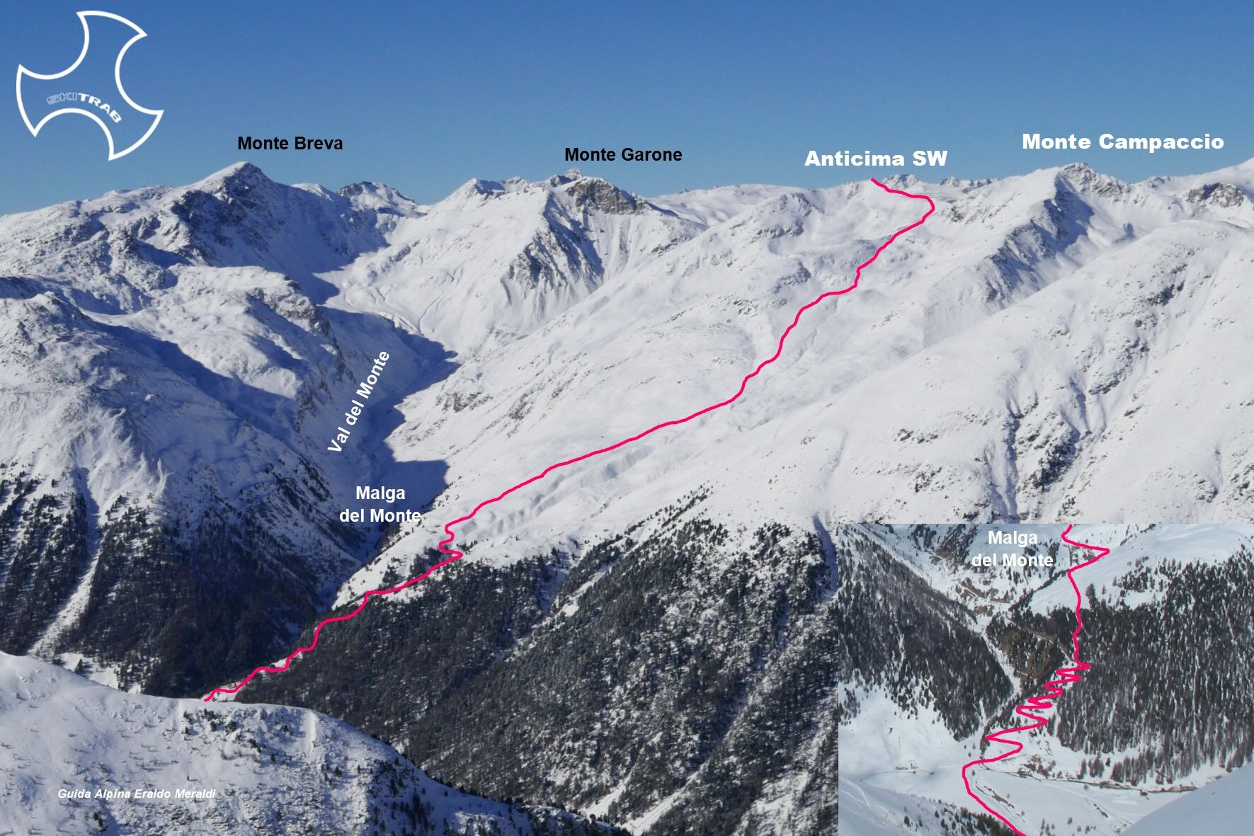
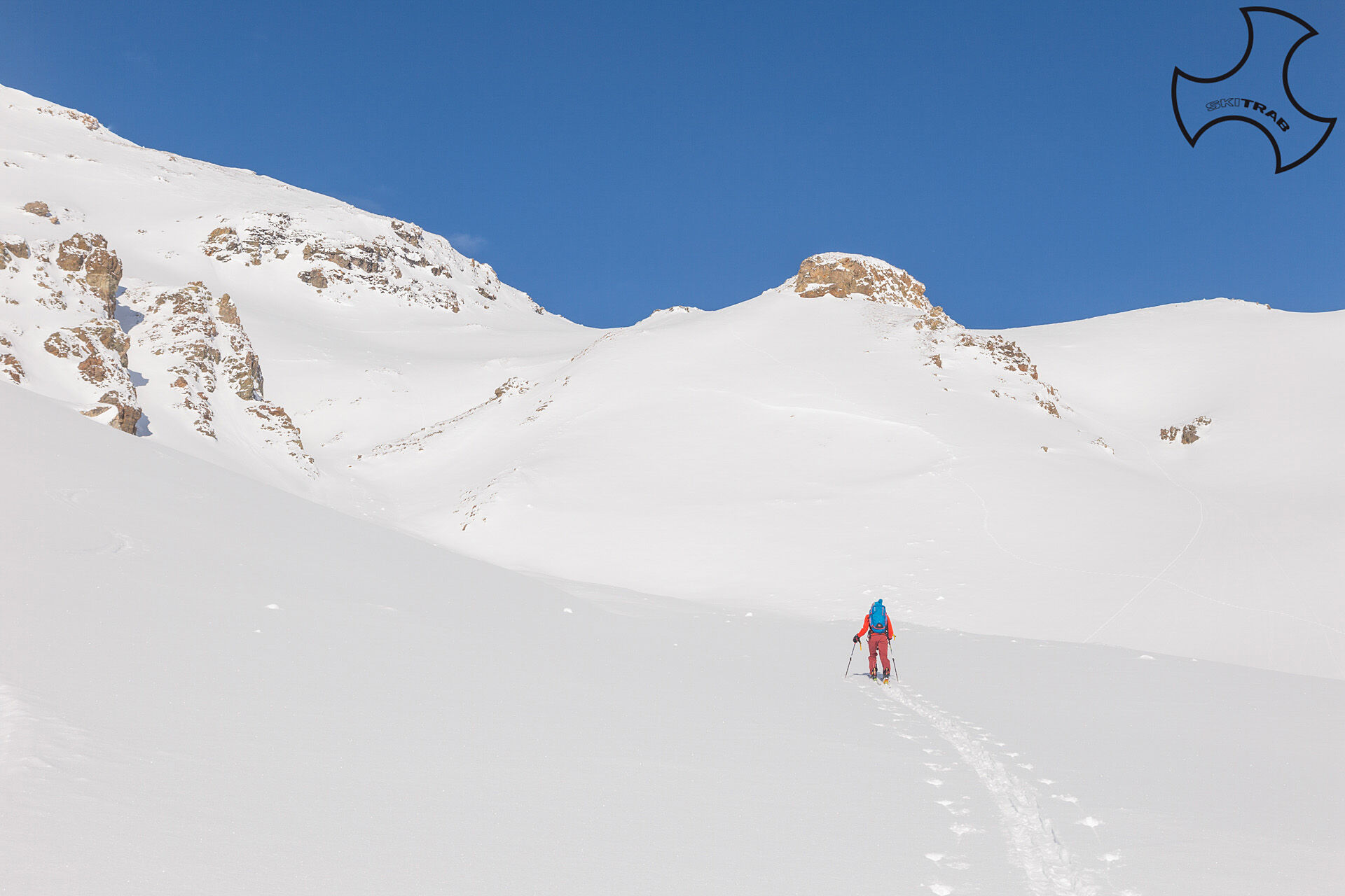
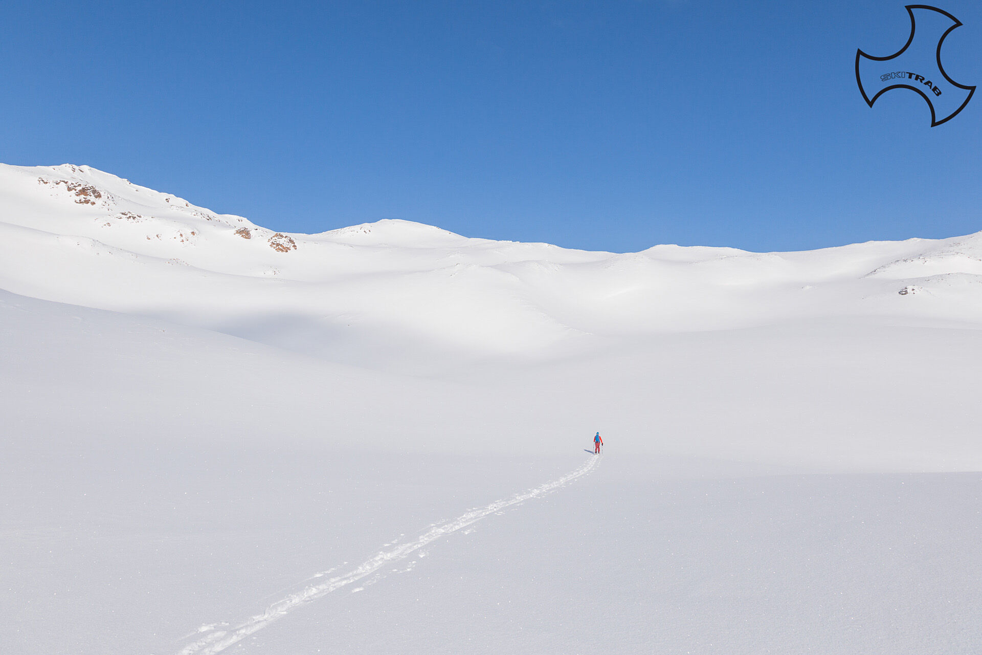
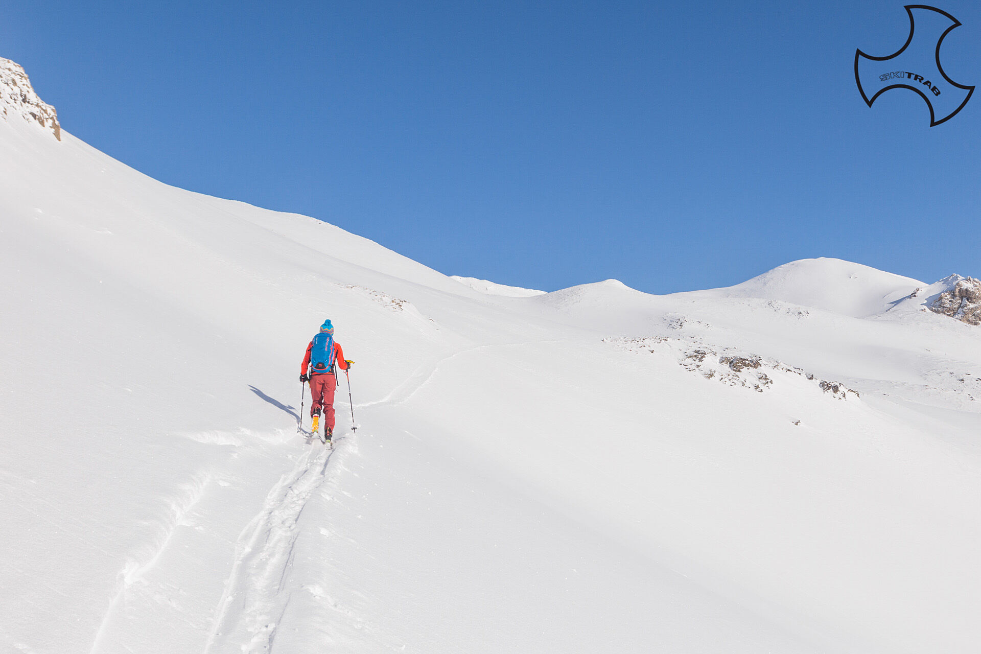

Campacciolo, Malga del Monte, Pizzo Cantone.
Self-rescue equipment (ARTVA, shovel and probe). Rampant.
The route description and track are approximate and should be verified on site depending on the condition of the snowpack present during the hike.
Because this is a hike in a snowy mountain environment at high altitudes subject to continually changing snowpack conditions, it is advisable to have adequate experience in ski mountaineering, knowledge of the area, and up-to-date information on snow conditions.
Accompaniment with a professional guide is recommended.
In the vicinity of the Hotel Forcola.
The route description and trail are approximate and should be verified on site depending on the condition of the snowpack present during the hike.
Because this is a hike in a snowy mountain environment at high altitudes subject to continually changing snowpack conditions, it is advisable to have adequate experience in ski mountaineering, knowledge of the area, and up-to-date information on snow conditions.
Accompaniment with a professional guide is recommended.
Získejte přehled
Vždy živě na místě s více než 9 500 webkamerami. bergfex Jako uživatel Pro si nyní můžete zobrazit odpovídající webové kamery pro mnoho prohlídek v aplikaci prohlídky z. Můžete si tak přímo prohlédnout aktuální podmínky.
Oblíbené prohlídky v okolí
-
5.0
Morteratsch station - Boval Hut
středníTuristika 10.5 km -
4.7
Diavolezza - Munt Pers
světloTuristika 3.82 km -
4.9
Circular hike Val Trupchun in the Swiss National Park
středníTuristika 13.8 km -
4.7
Panoramic route Muottas Muragl
světloTuristika 6.75 km -
5.0
Mountain hike to Lagh da Saoseo
heavyTuristika 15.0 km -
5.0
Muottas Muragl - Segantini hut - Pontresina
středníTuristika 6.46 km -
4.7
Morteratsch Glacier route
světloTematická stezka 2.88 km -
4.3
Piz Palü (3.905m) – Hochtour
středníVysokohorská turistika 13.4 km -
Muottas Muragl - Segantini Hütte - Pontresina
středníTuristika 17.5 km -
4.7
Alp Languard - Segantini Hut - Muottas Muragl
středníTrailrunning 6.45 km
Pěší turistika a stopování


Nenechte si ujít nabídky a inspiraci pro vaši příští dovolenou
Vaše e-mailová adresa byl přidán do poštovního seznamu.





