






Mountain hike to Lagh da Saoseo

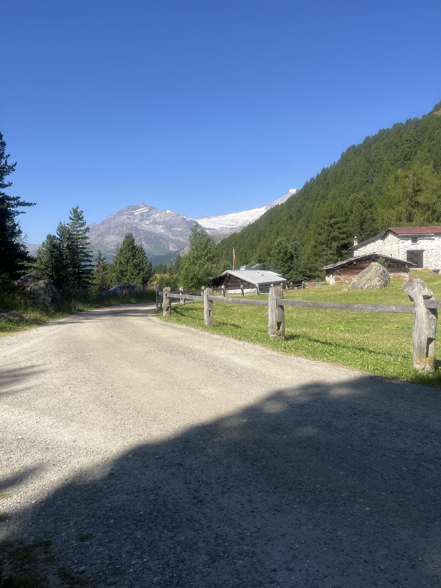
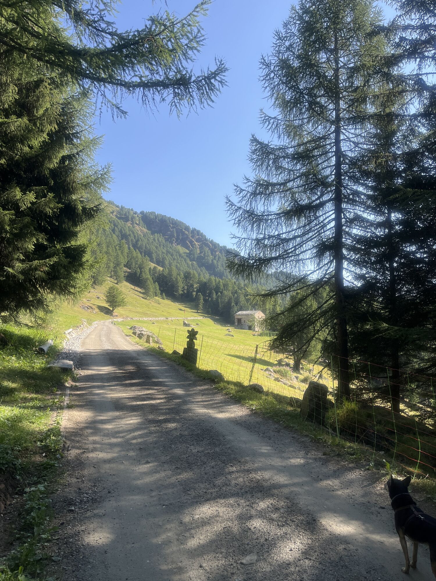
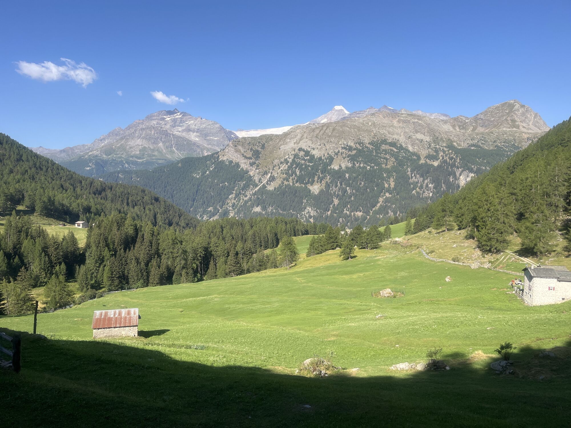
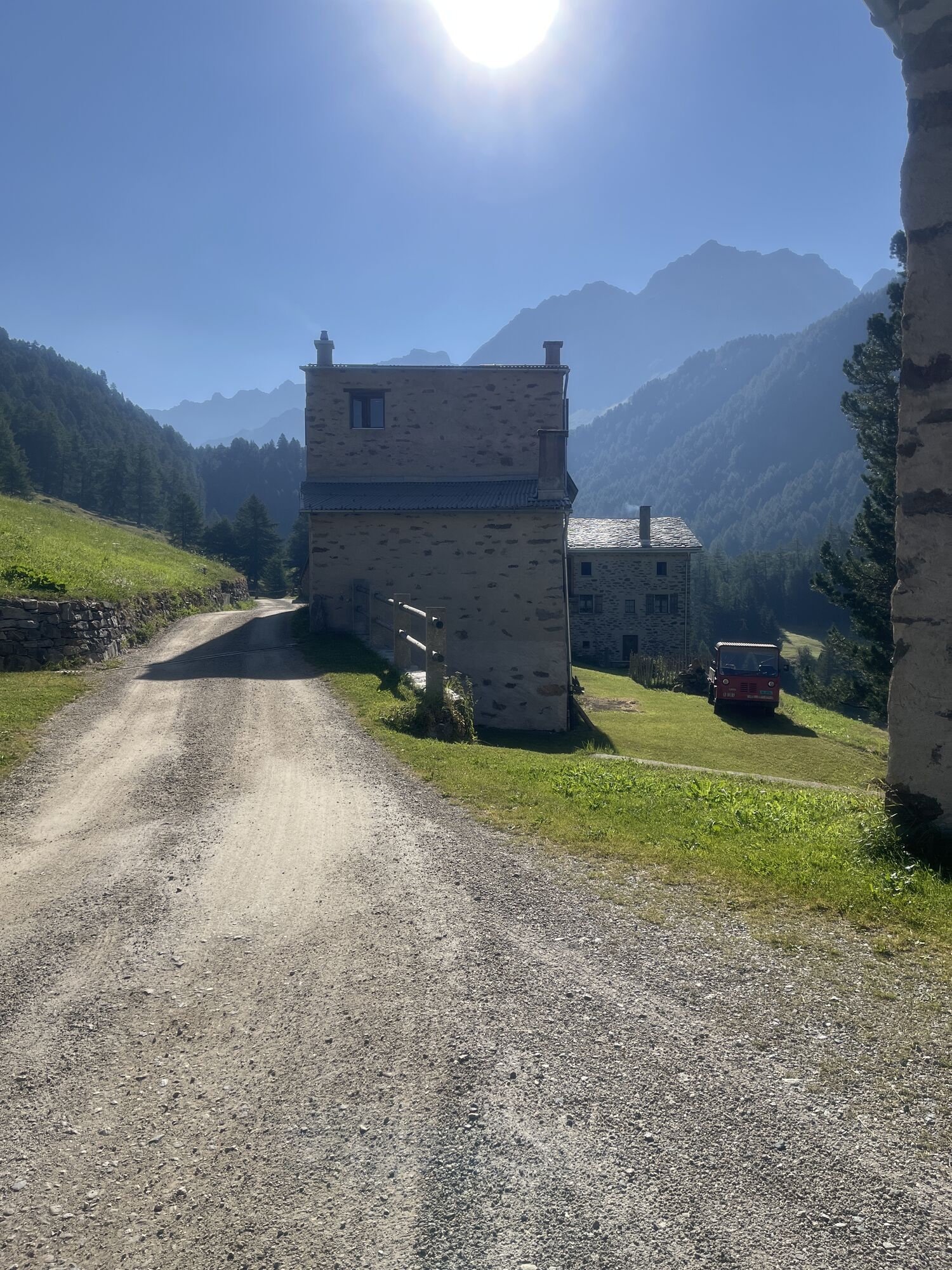
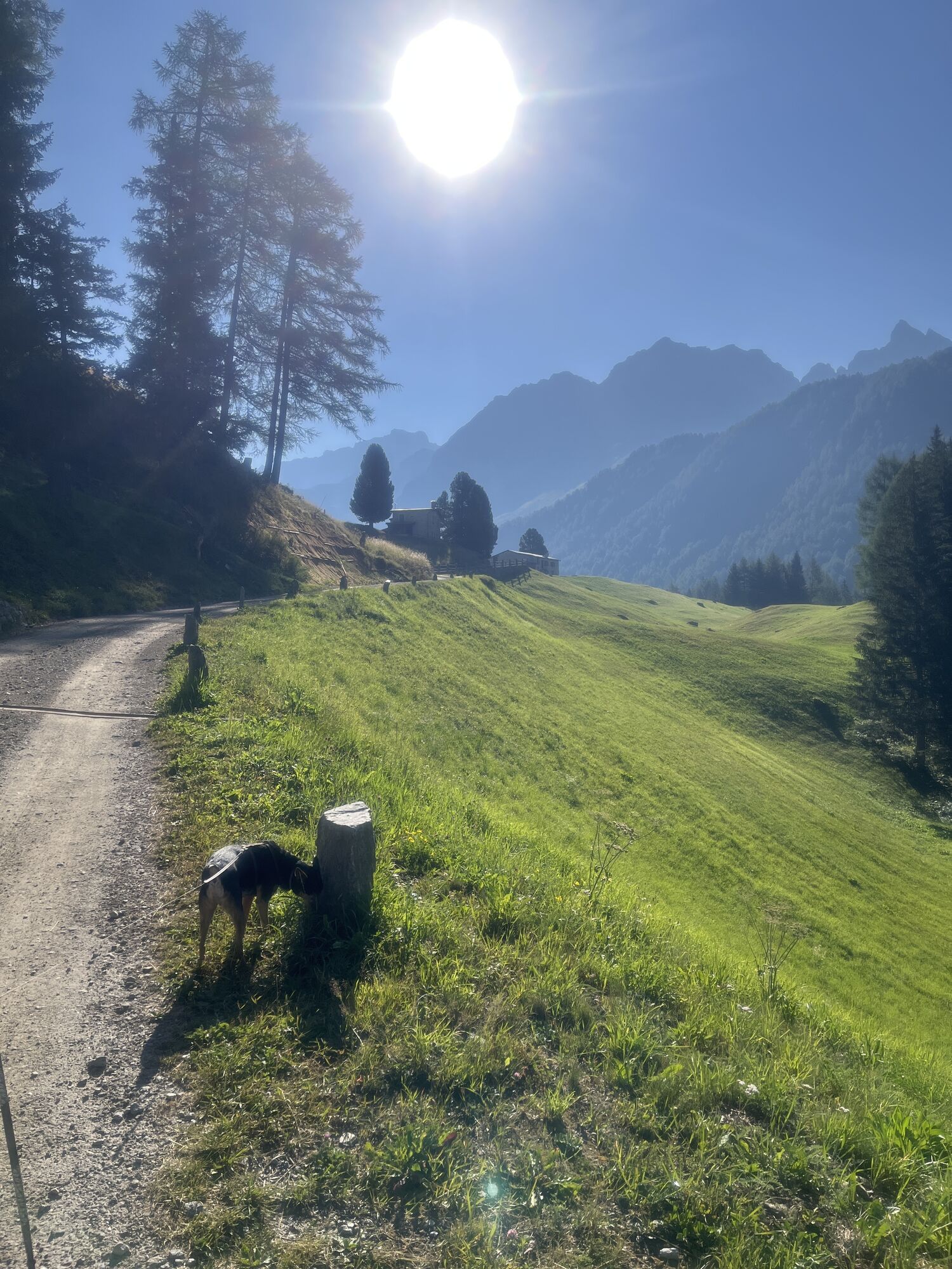
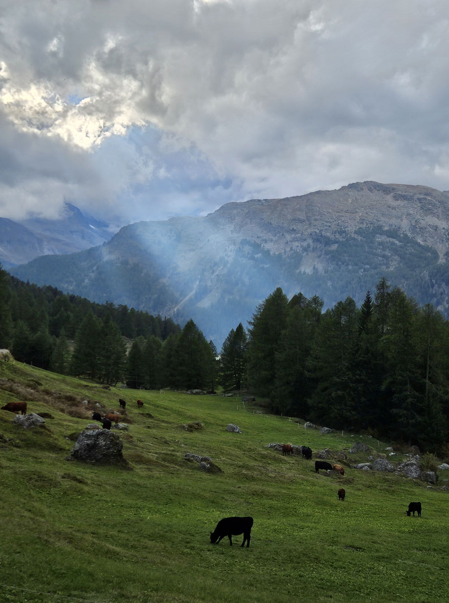
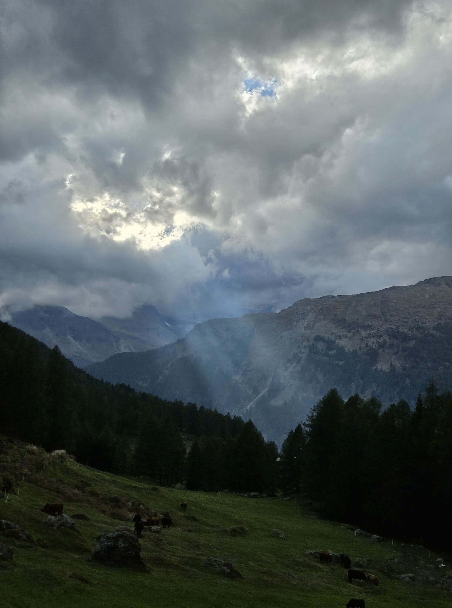
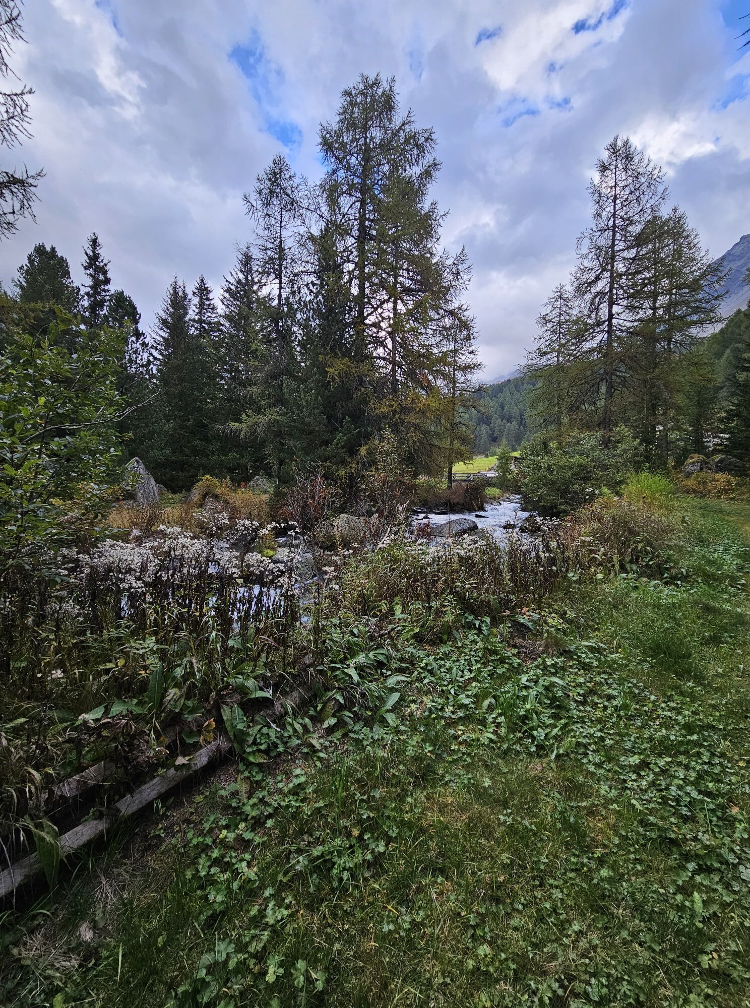
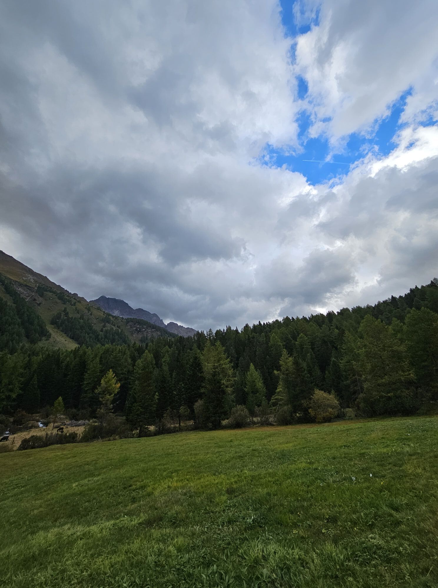

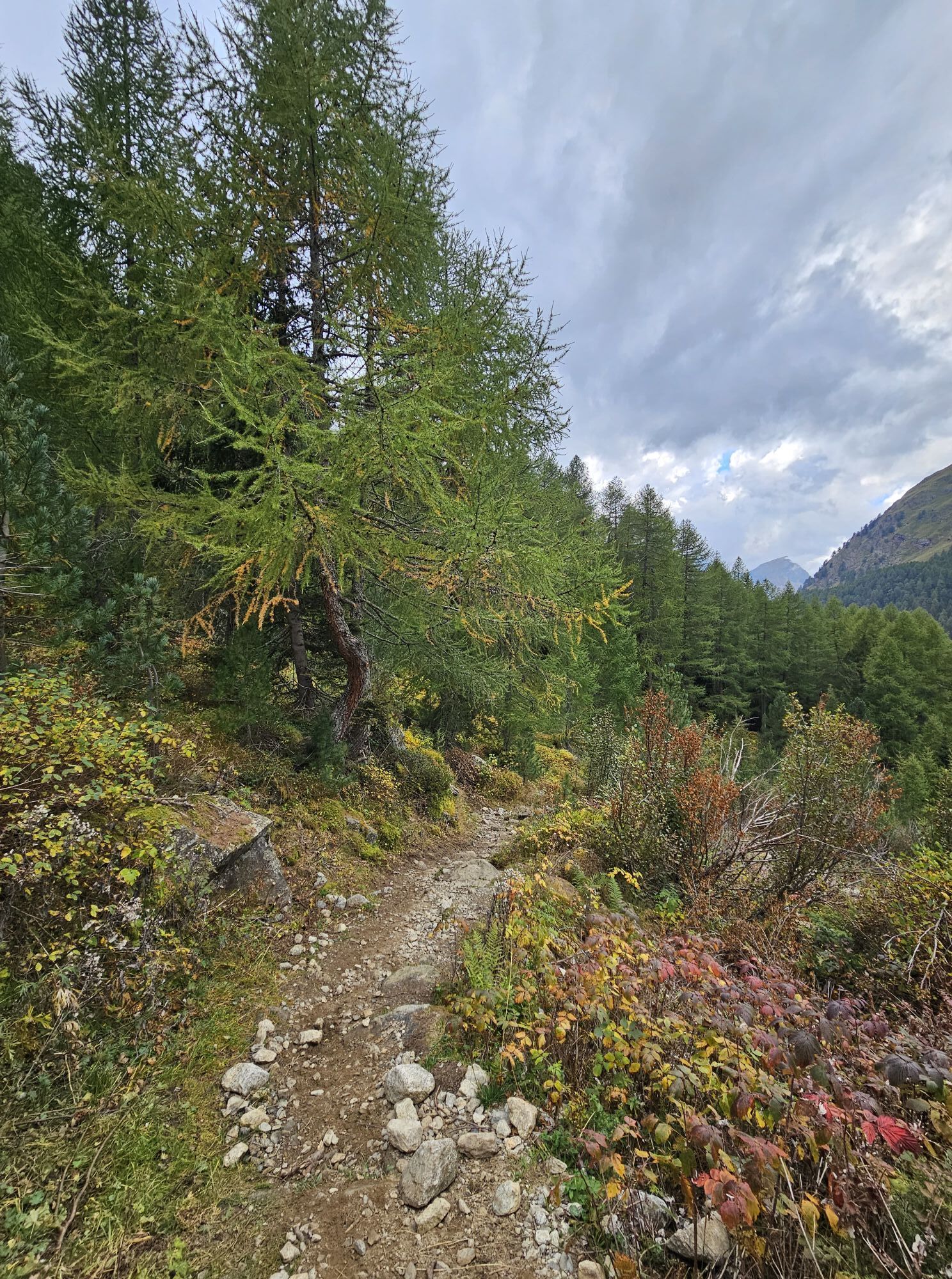
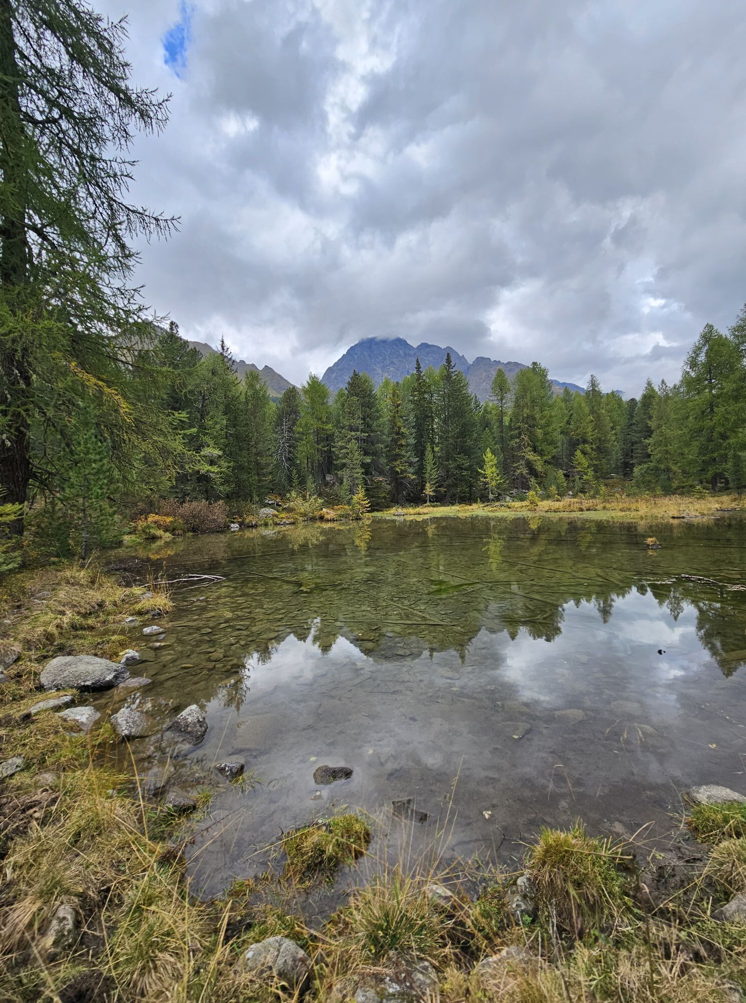
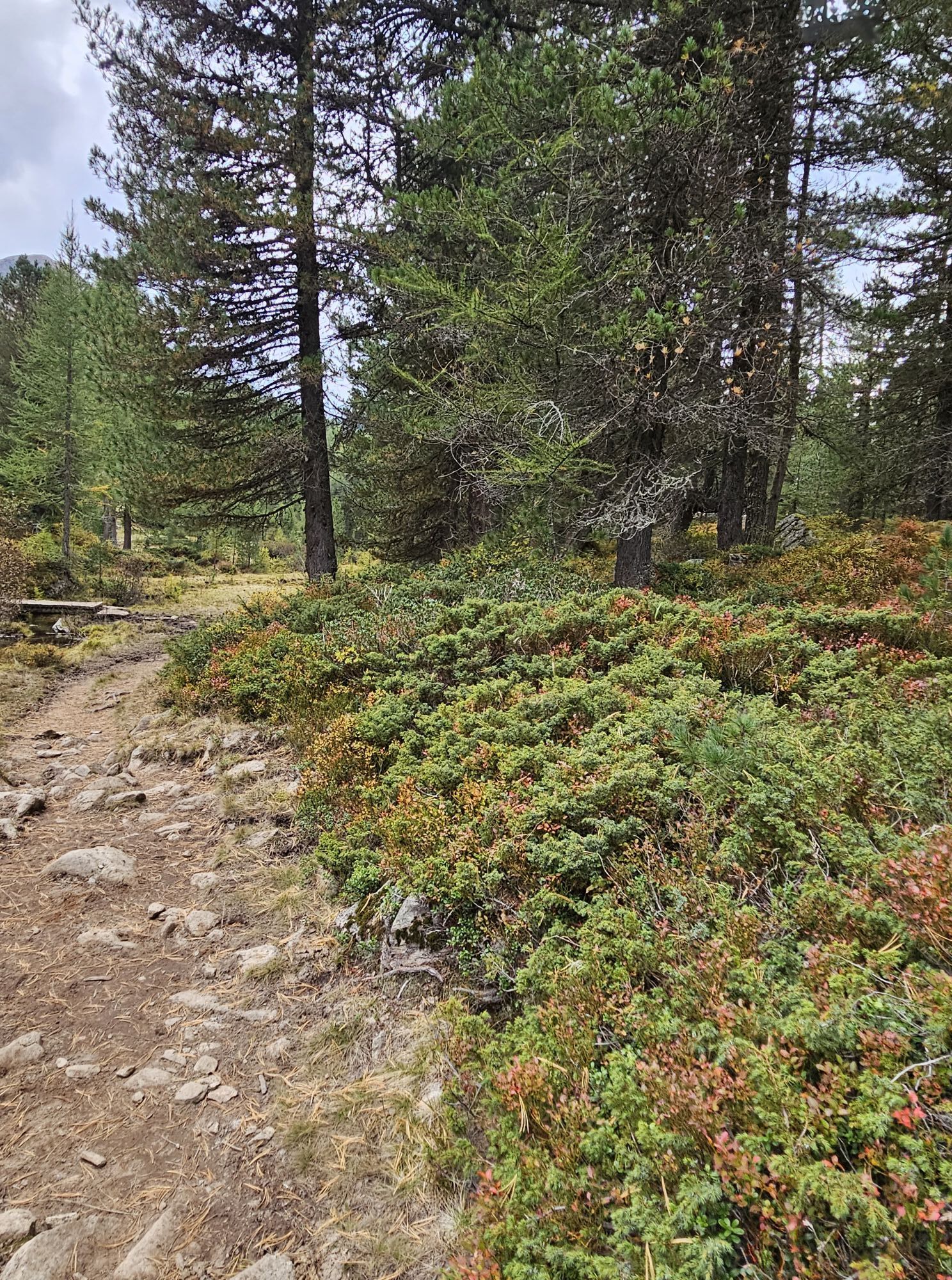
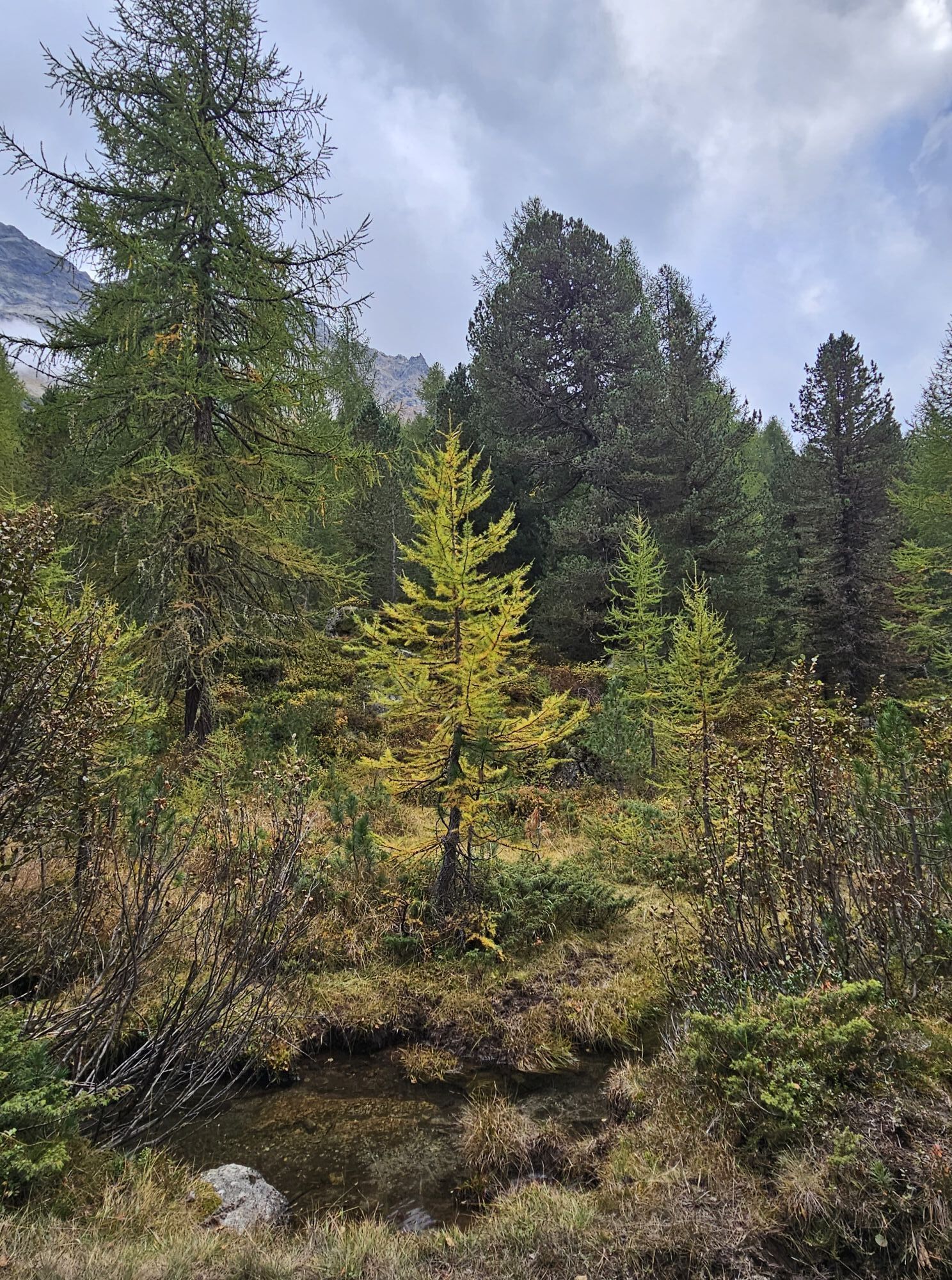
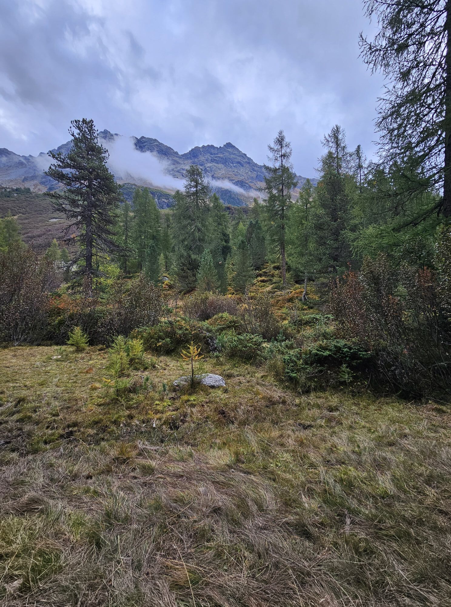
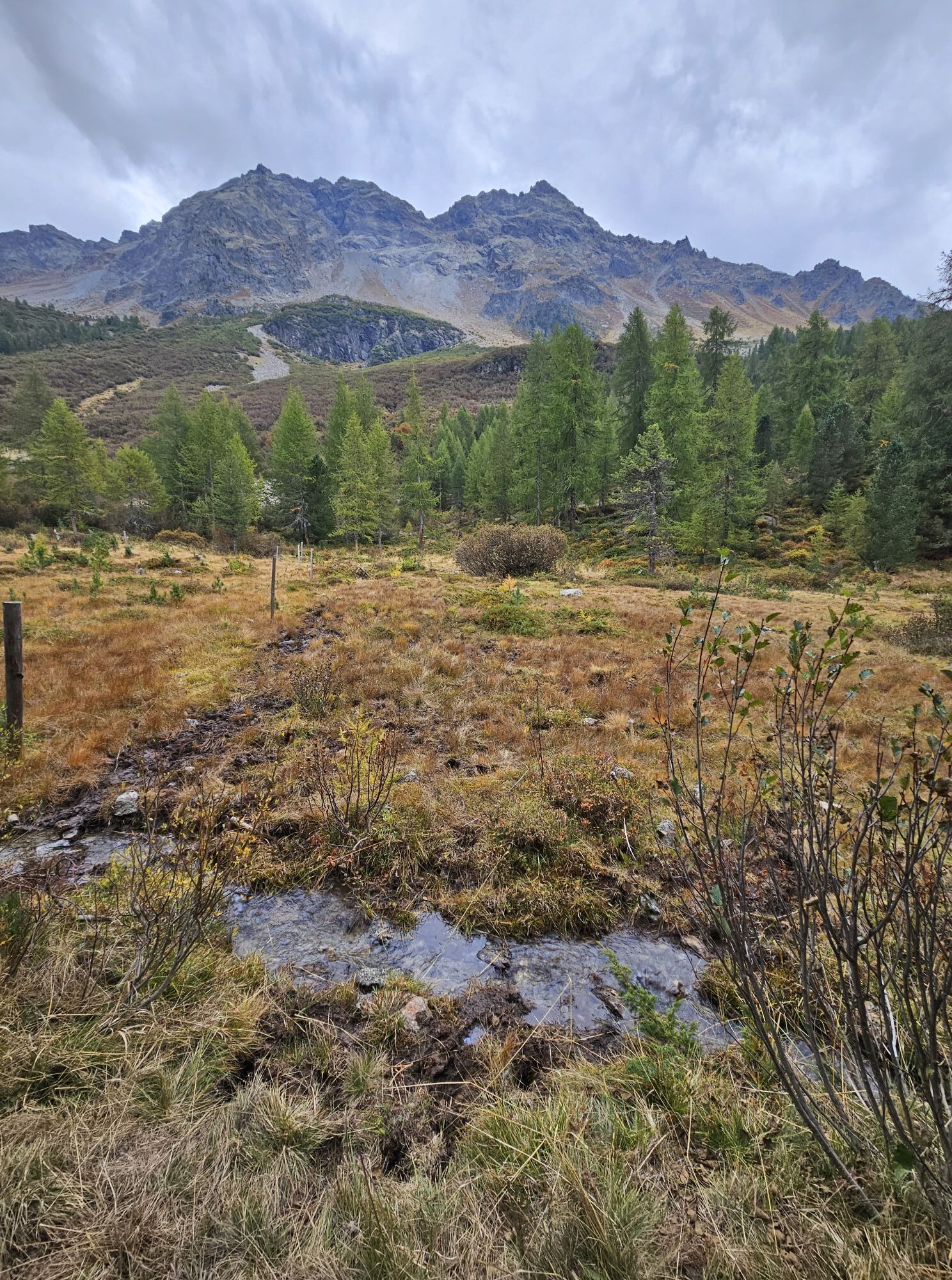
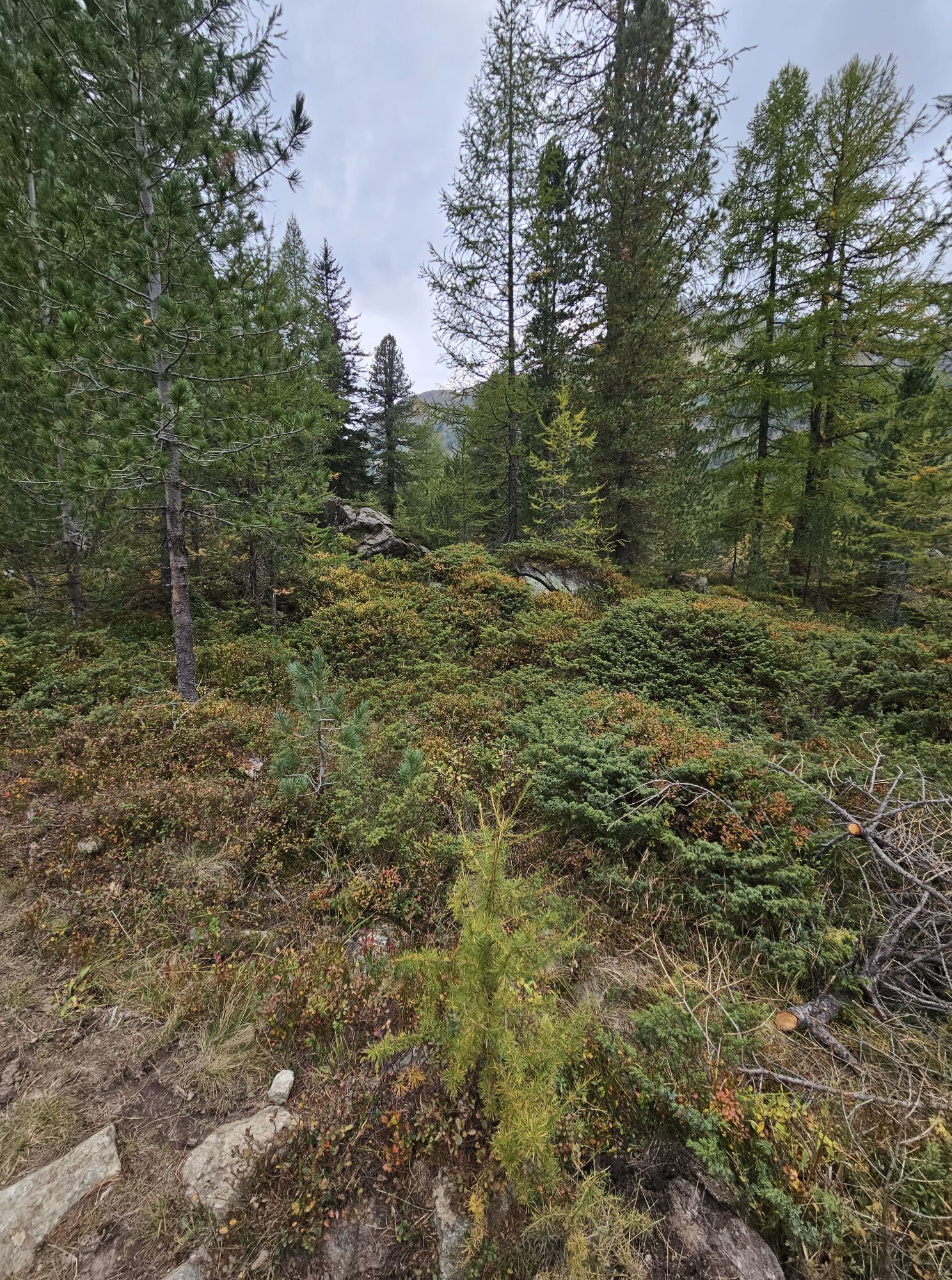
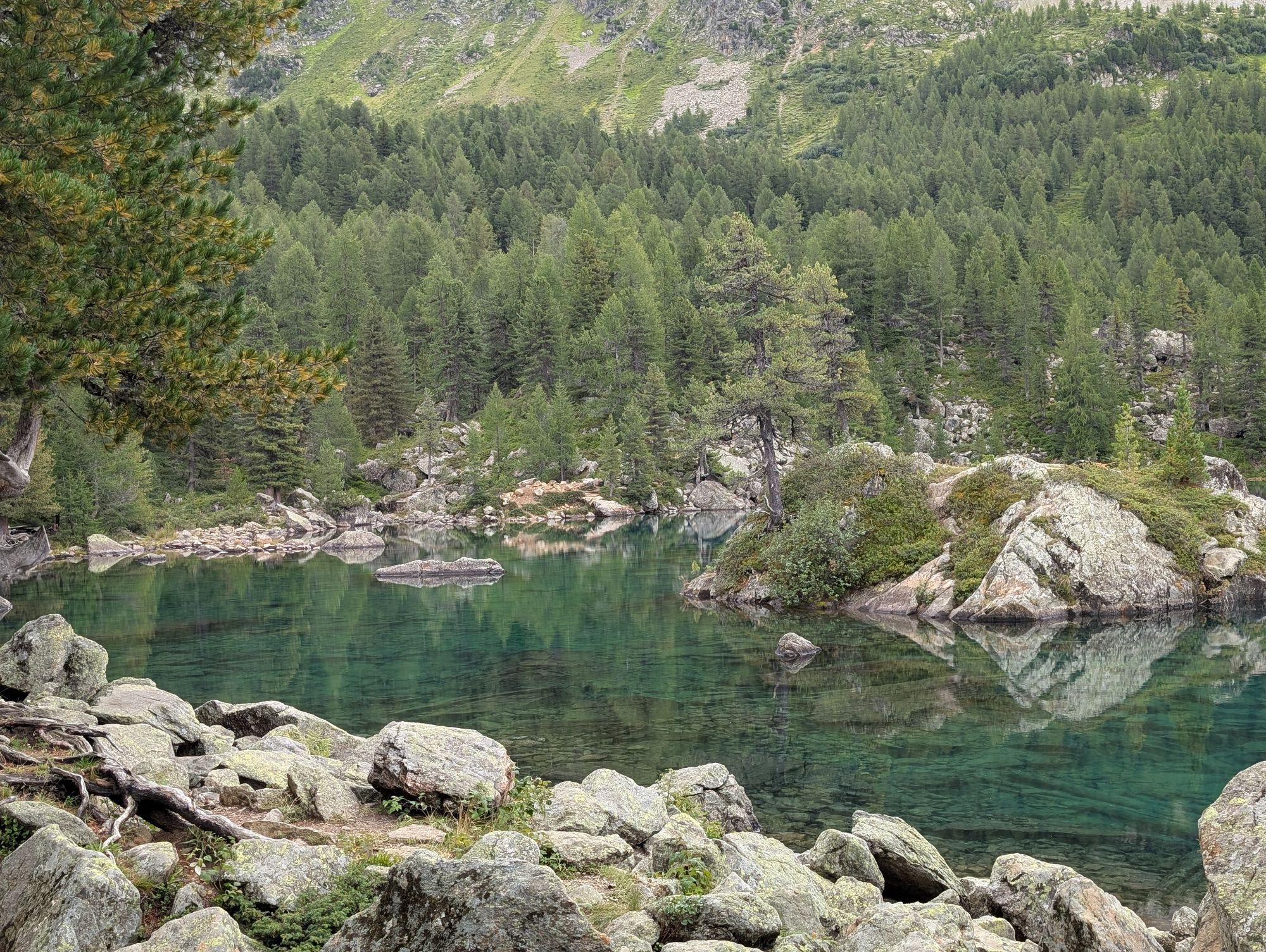
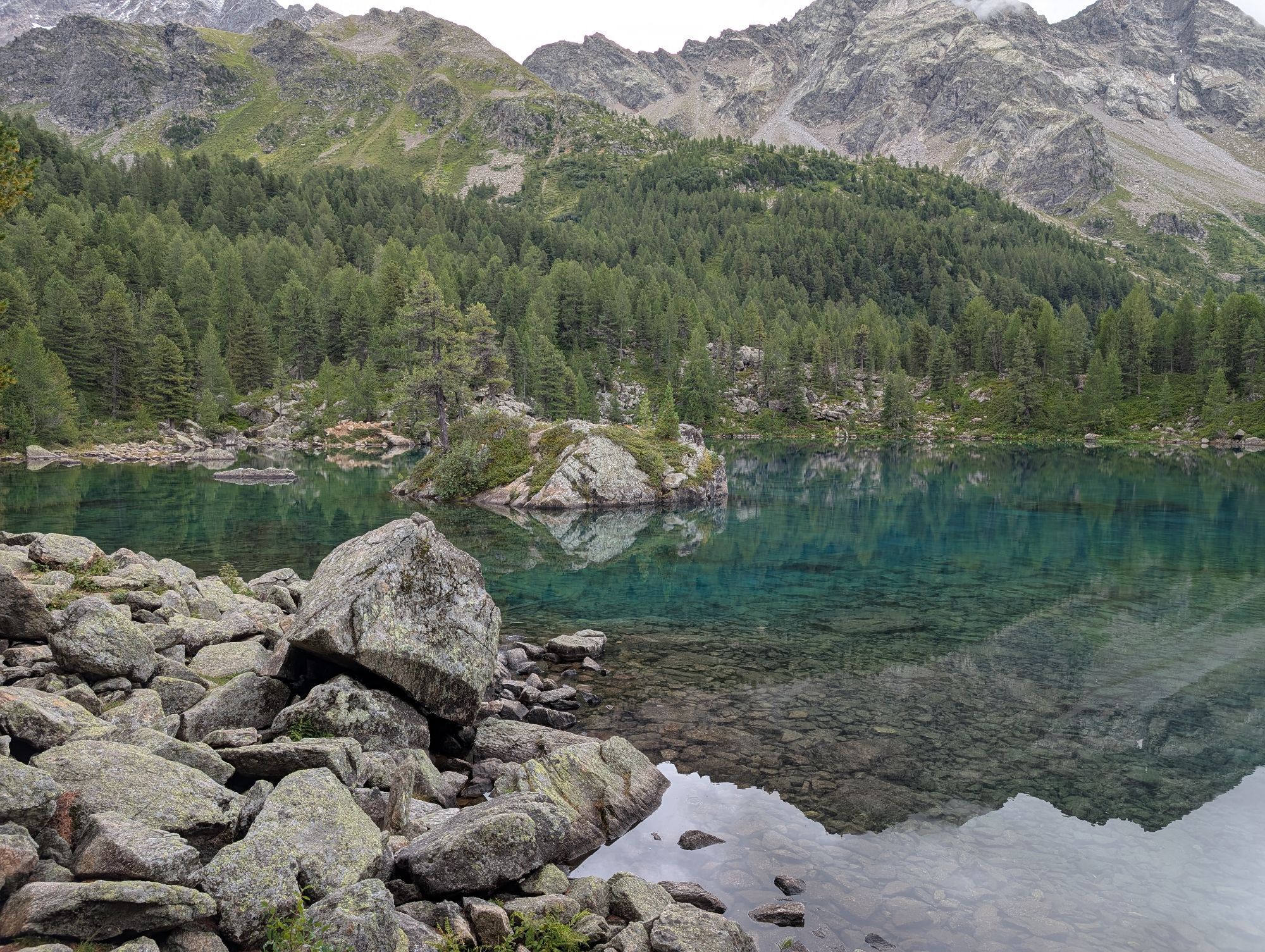
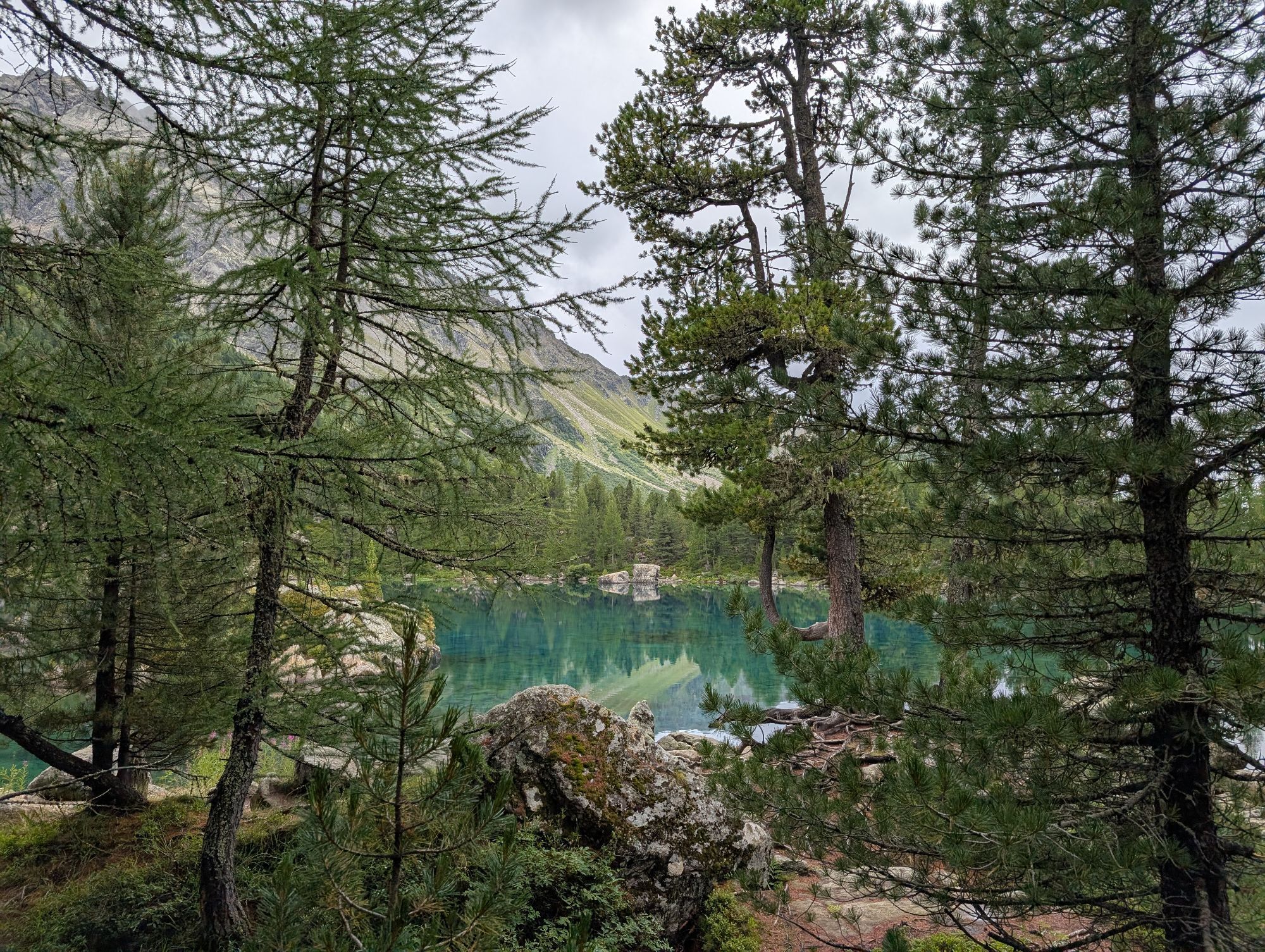
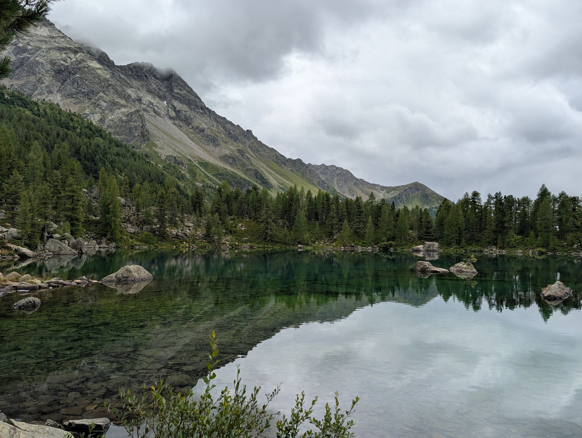
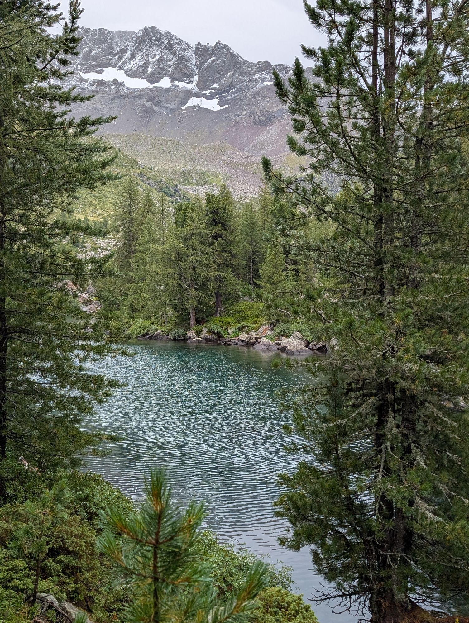
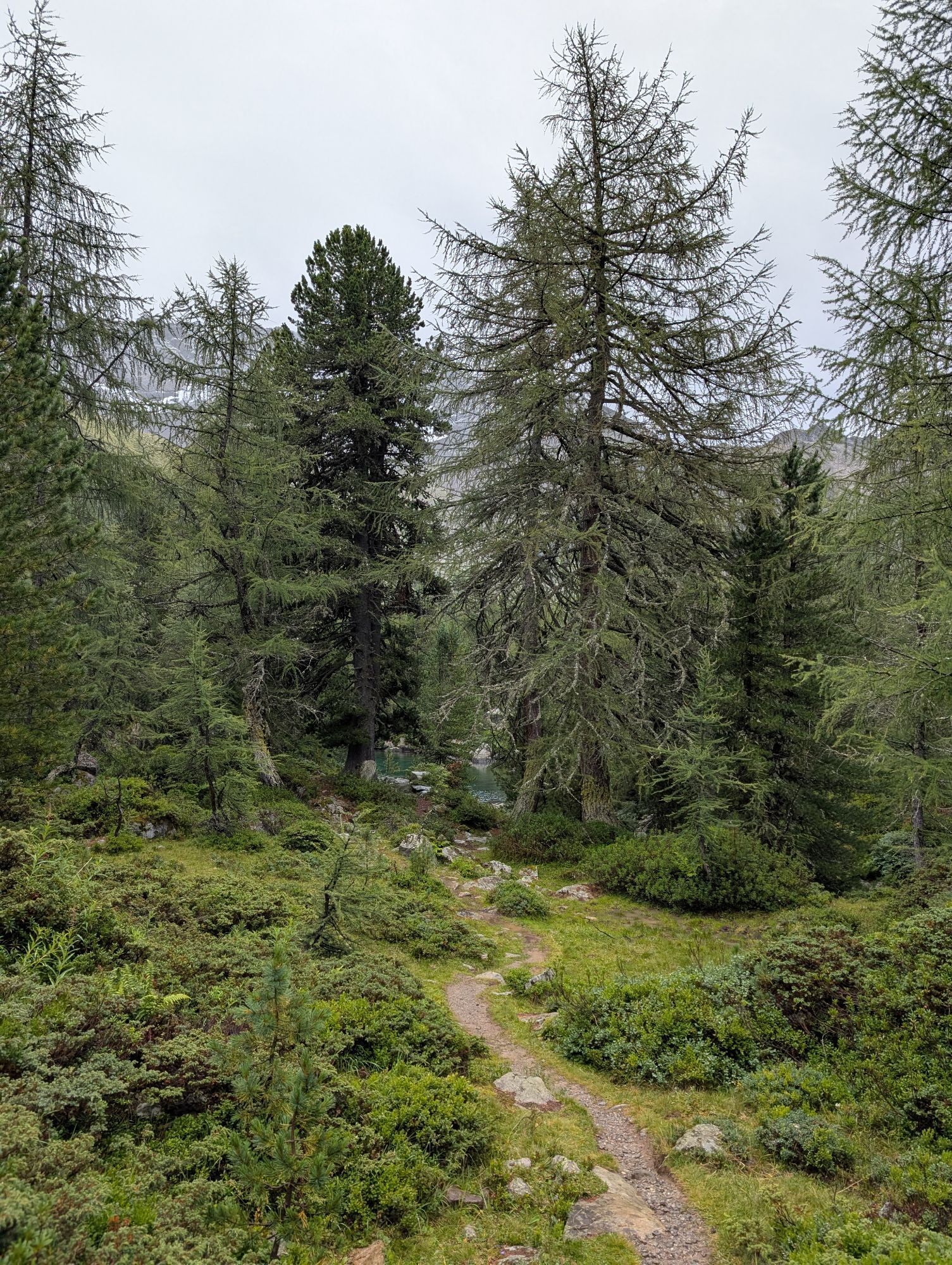
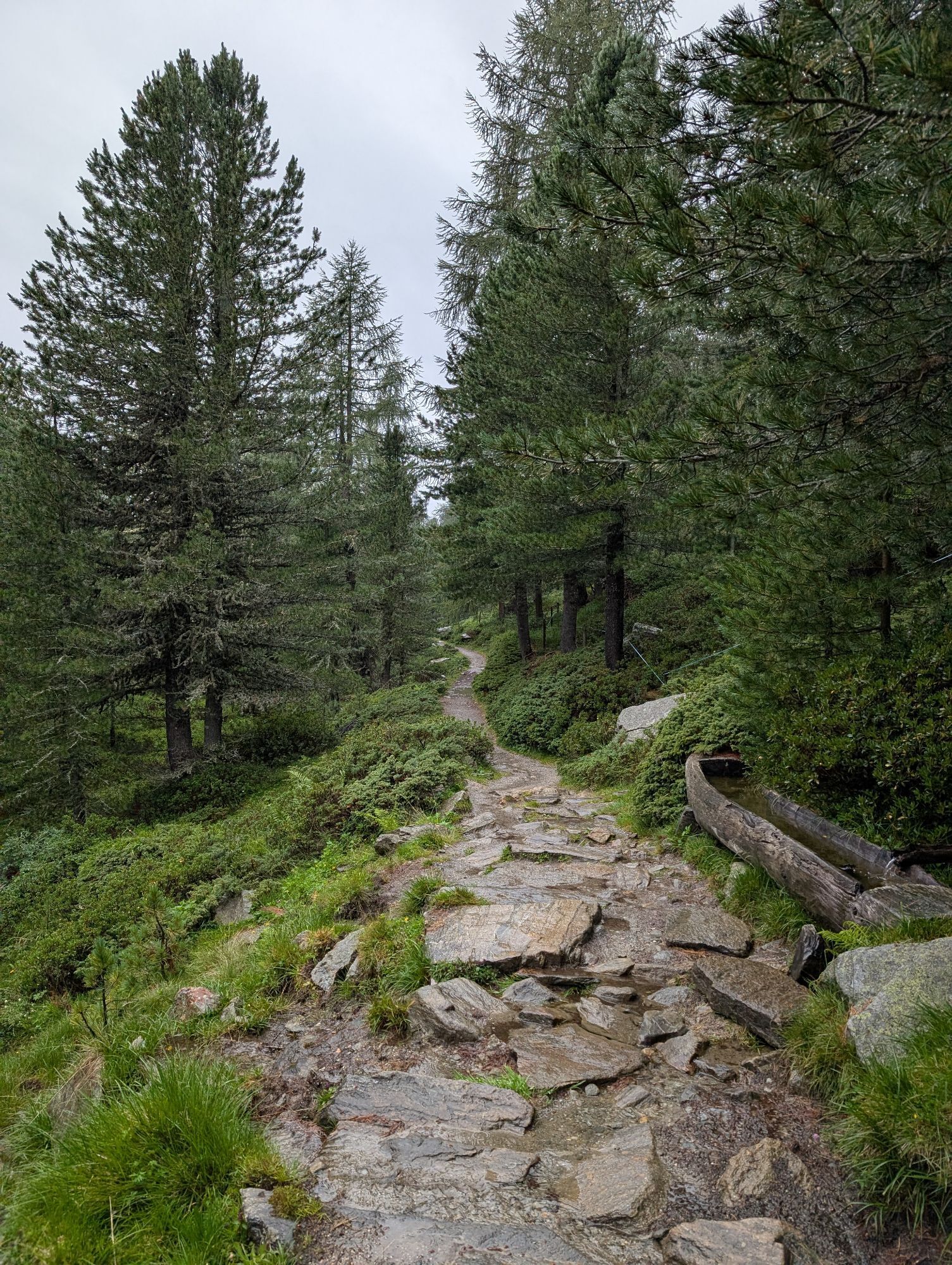
Val da Camp is an alpine idyll of the highest class. Several small lakes characterize the valley. A real gem is Lagh da Saoseo. It is renowned far and wide as one of the most beautiful mountain lakes in...
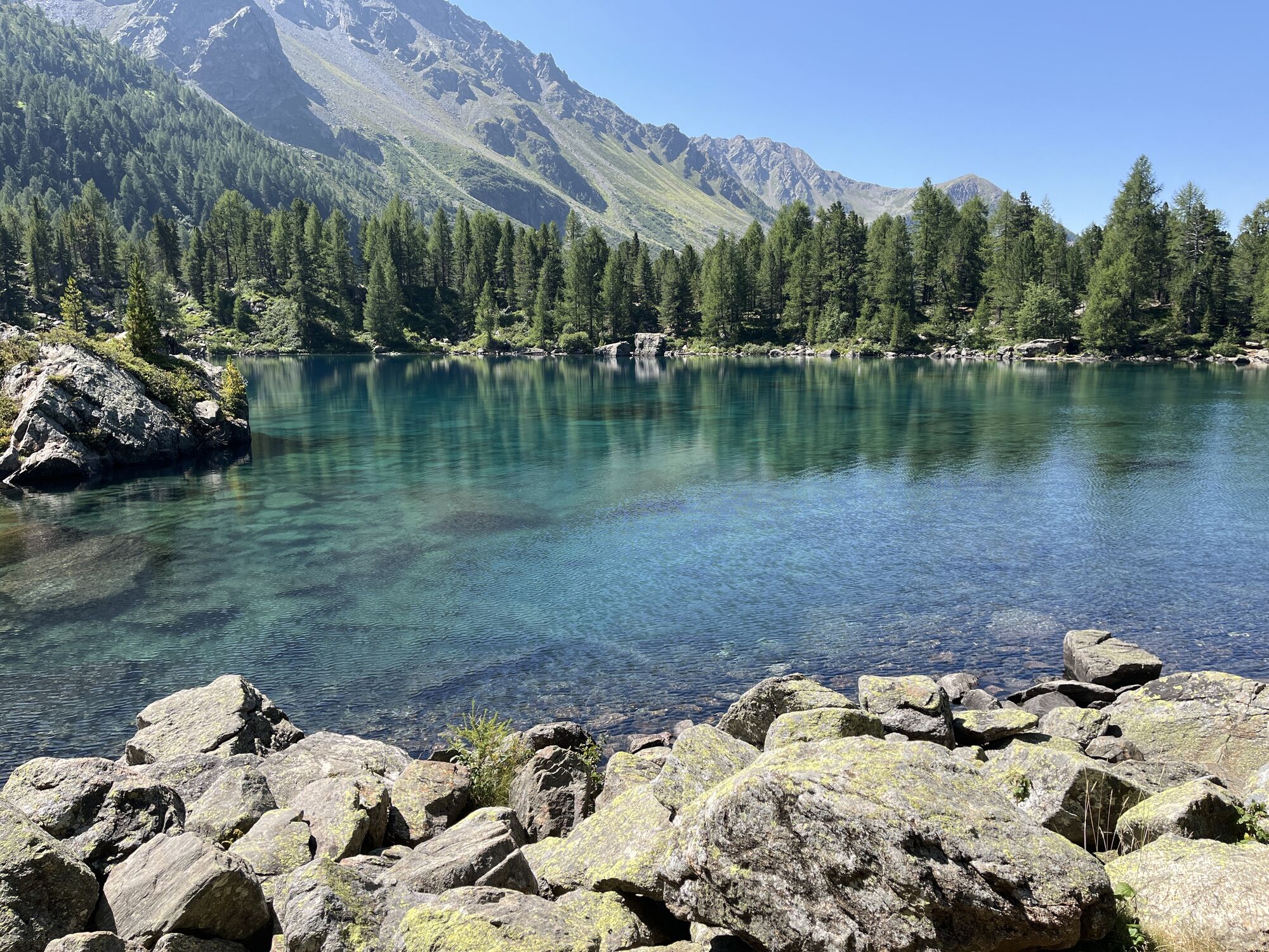
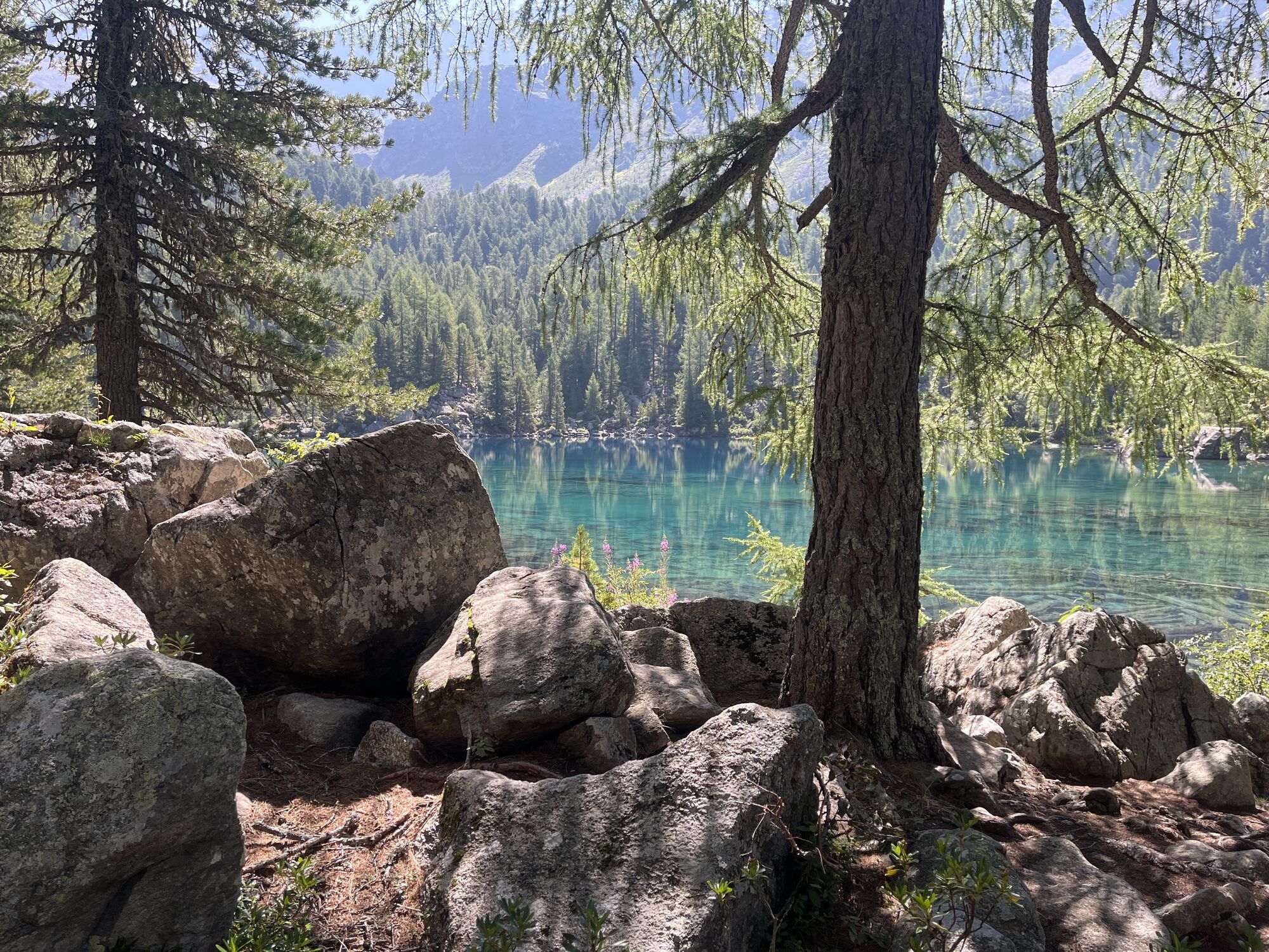
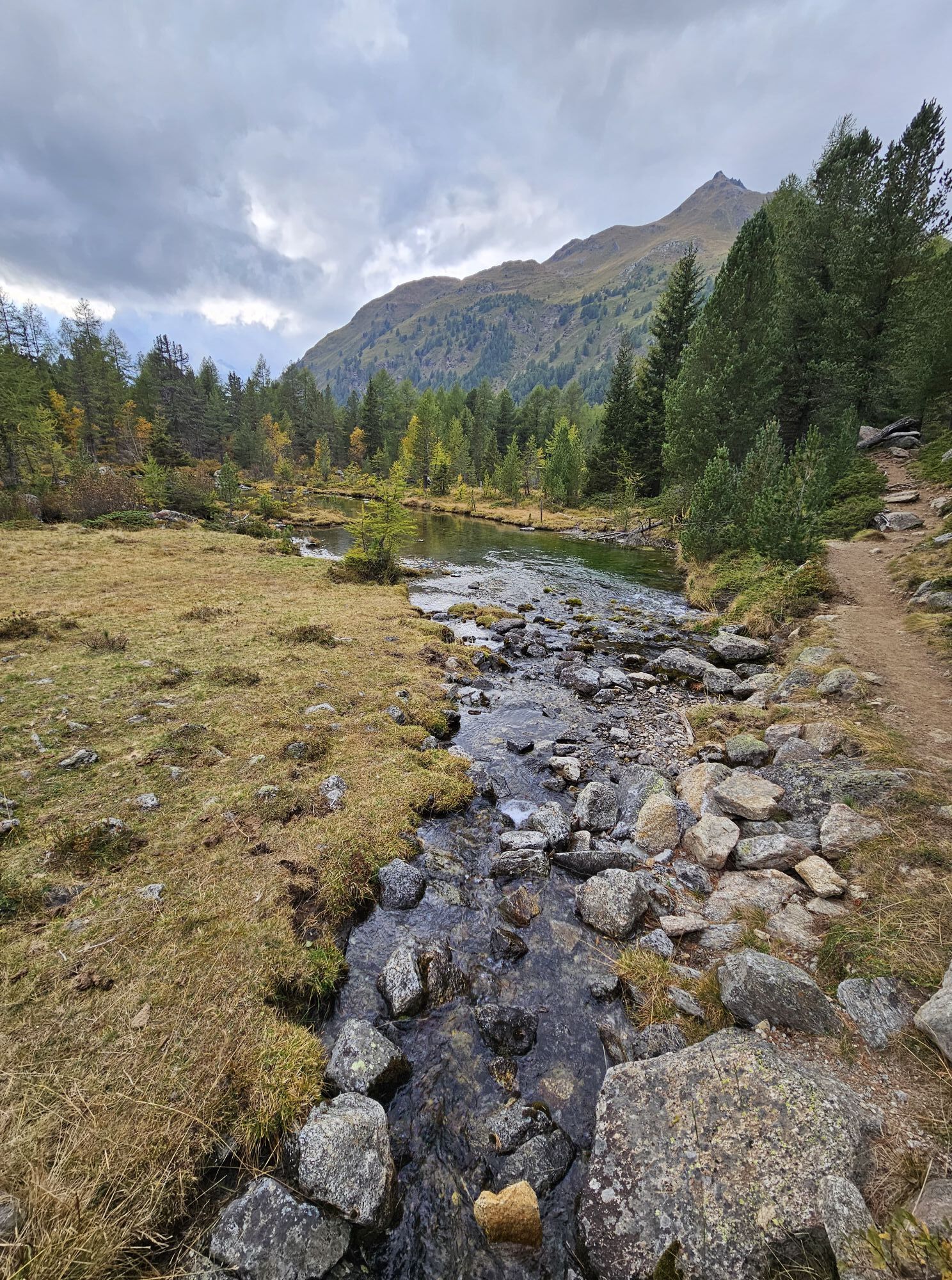
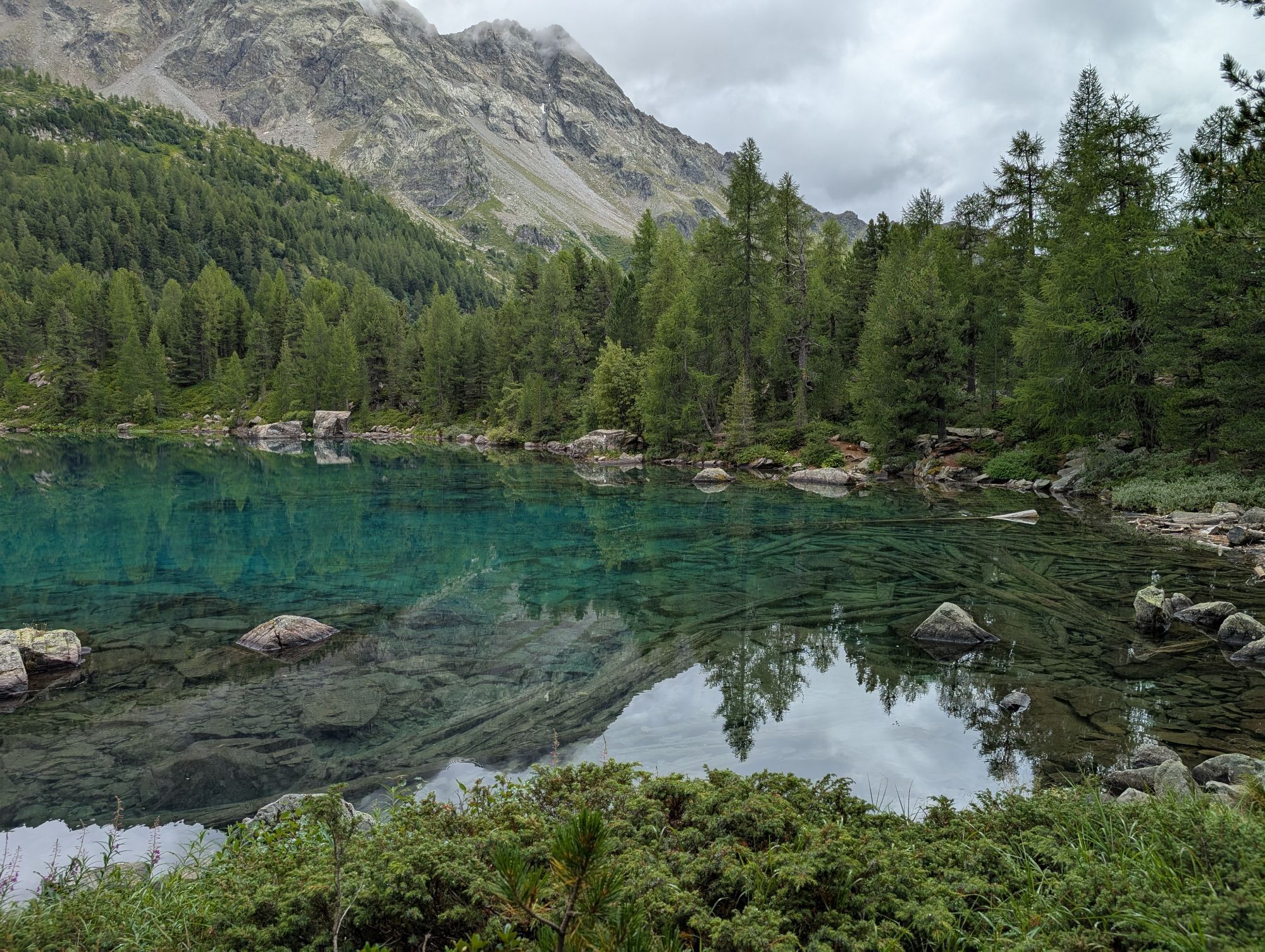
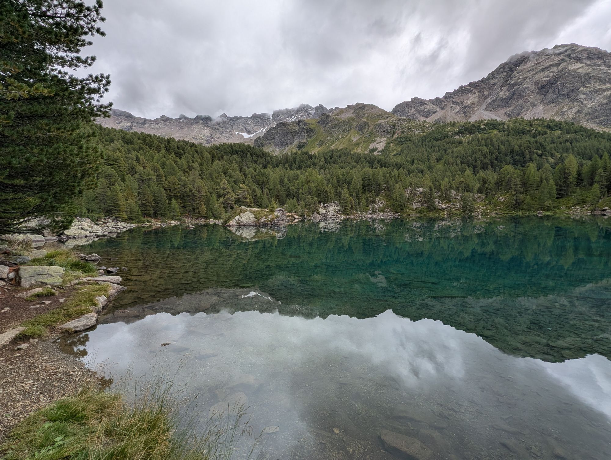
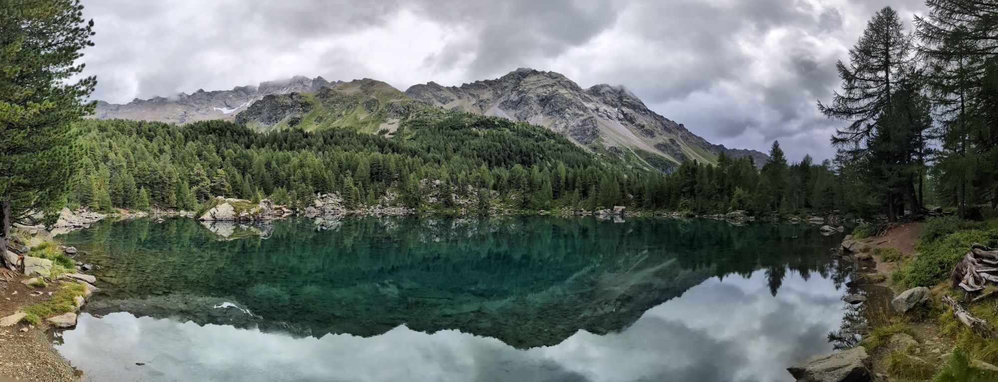
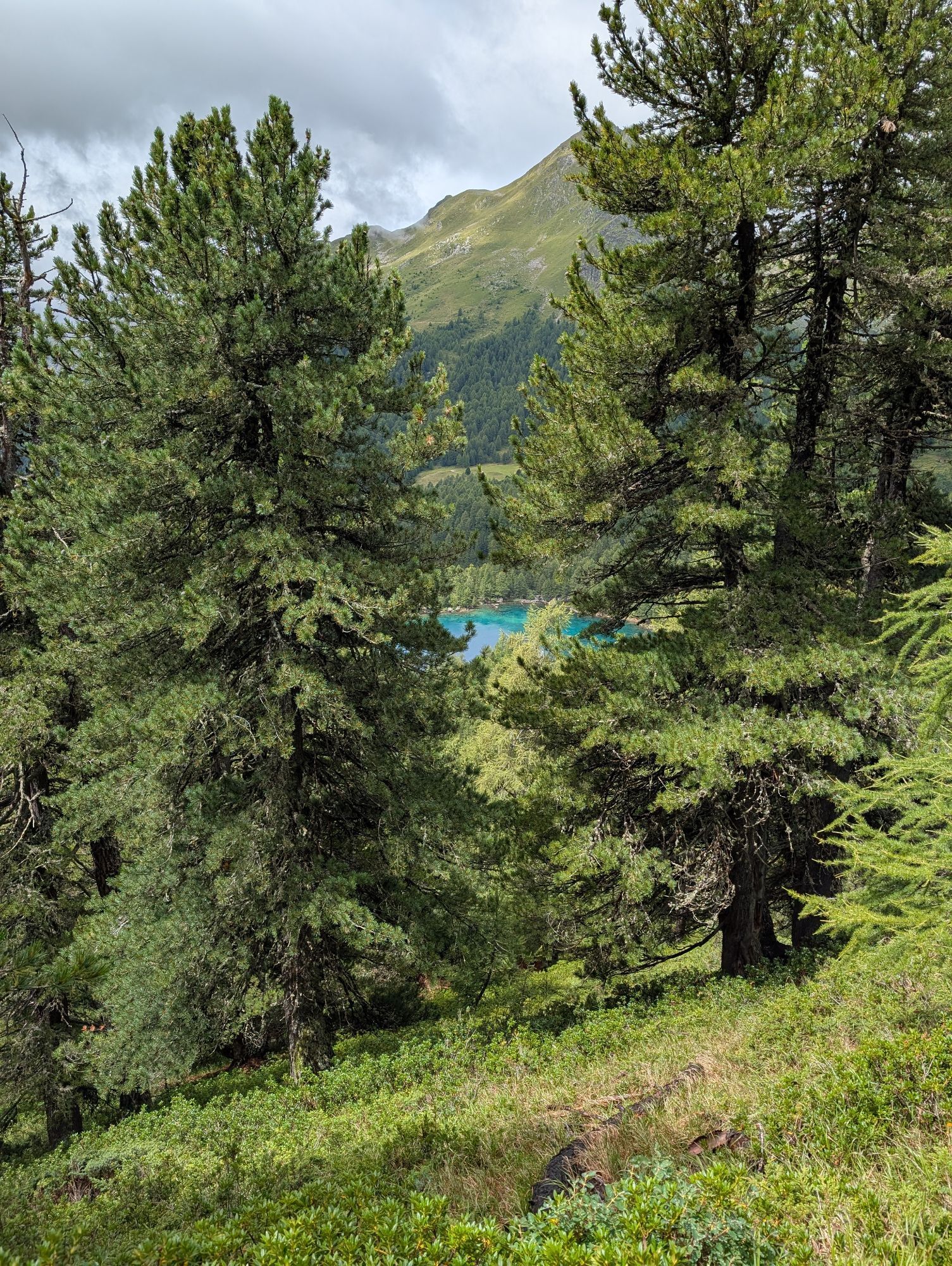
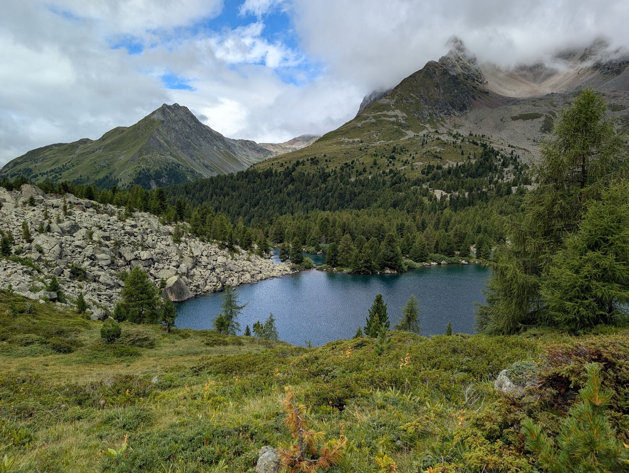
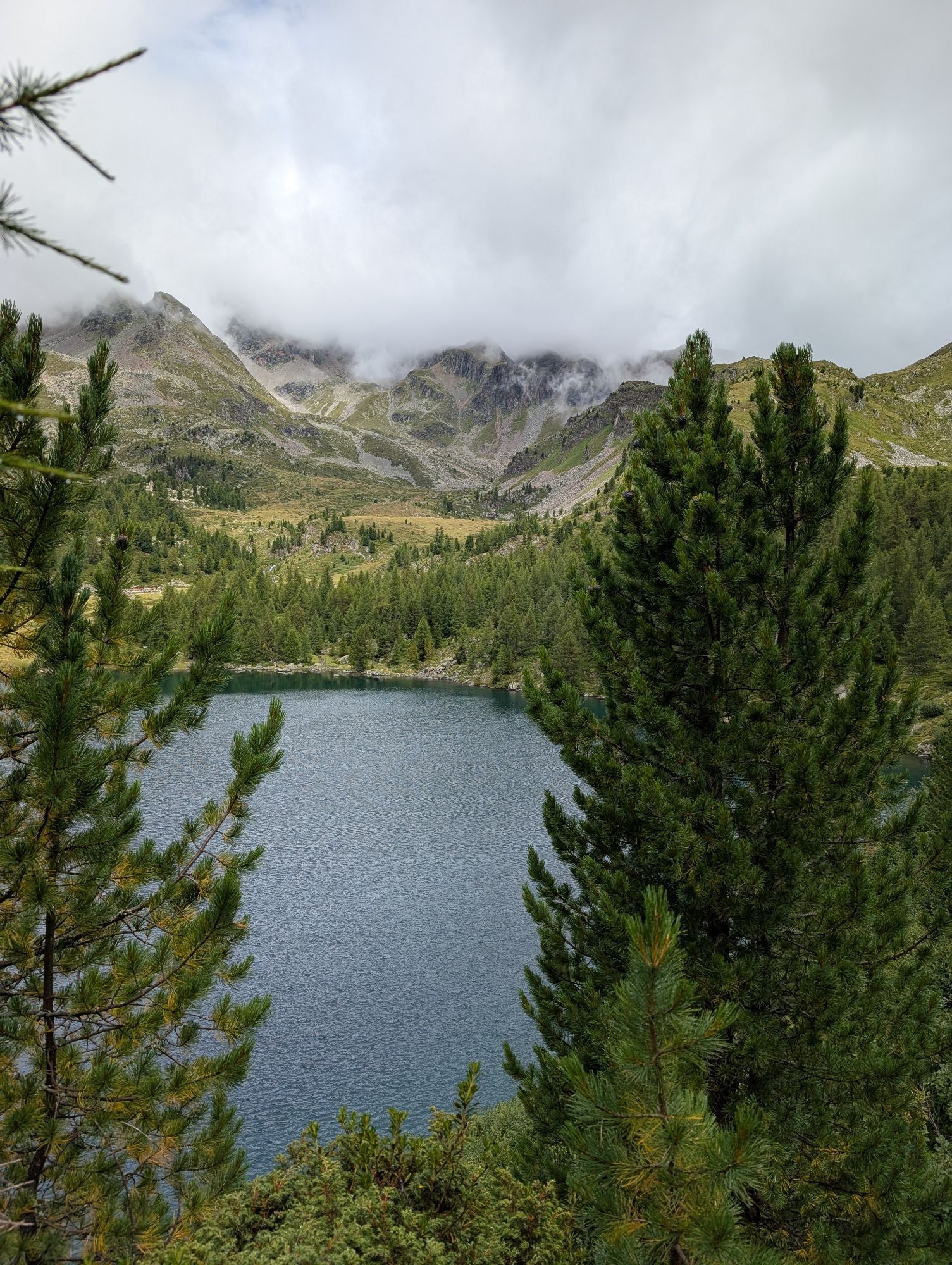
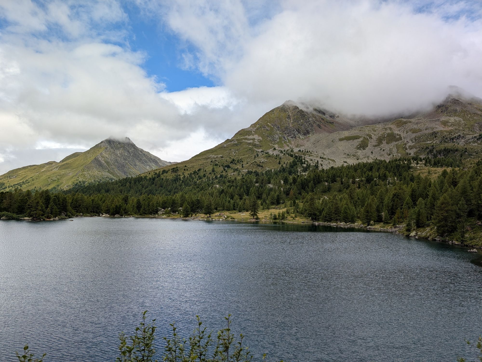
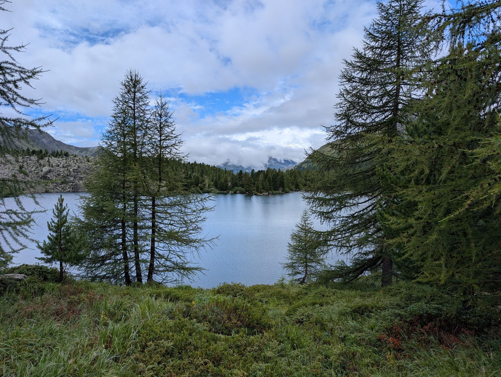
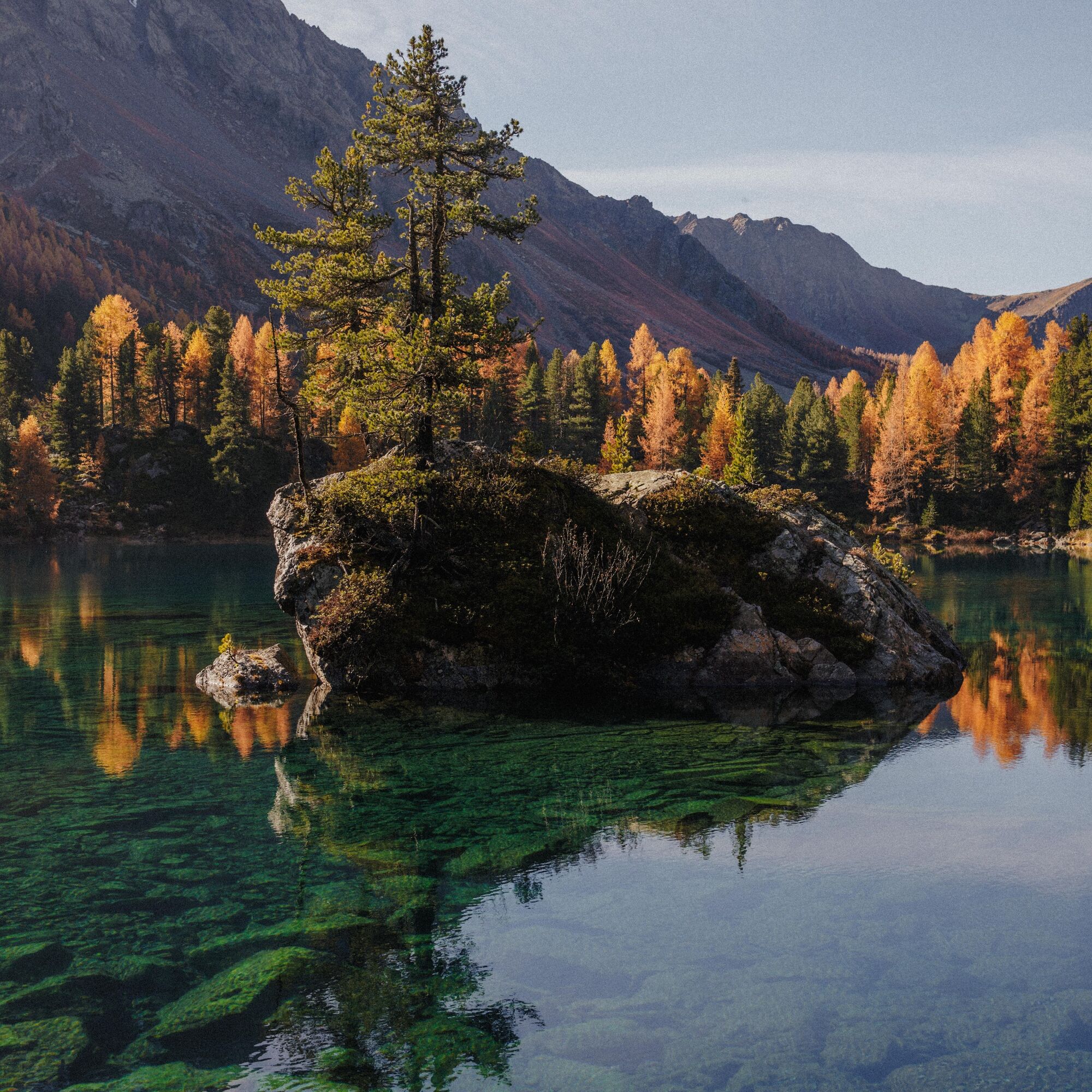
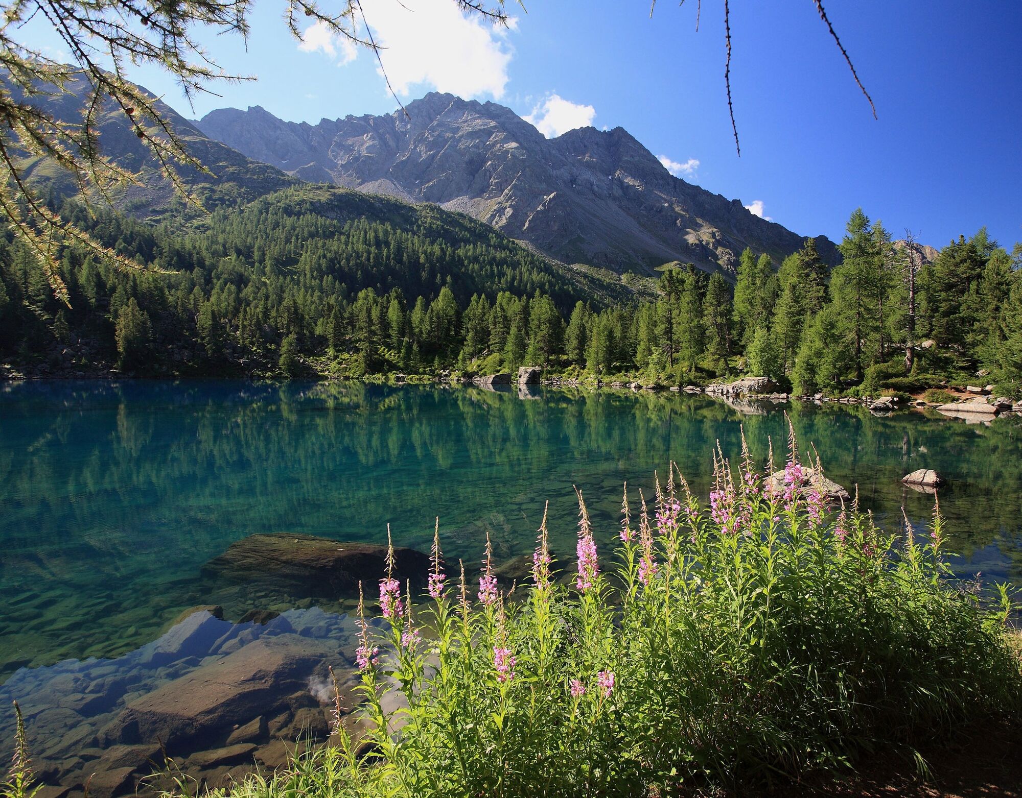
Val da Camp is an alpine idyll of the highest class. Several small lakes characterize the valley. A real gem is Lagh da Saoseo. It is renowned far and wide as one of the most beautiful mountain lakes in the entire Alpine region. From a distance, the water shimmers cobalt blue, but when standing on the shore, it proves to be so clear that you can see every single stone on the lakebed.
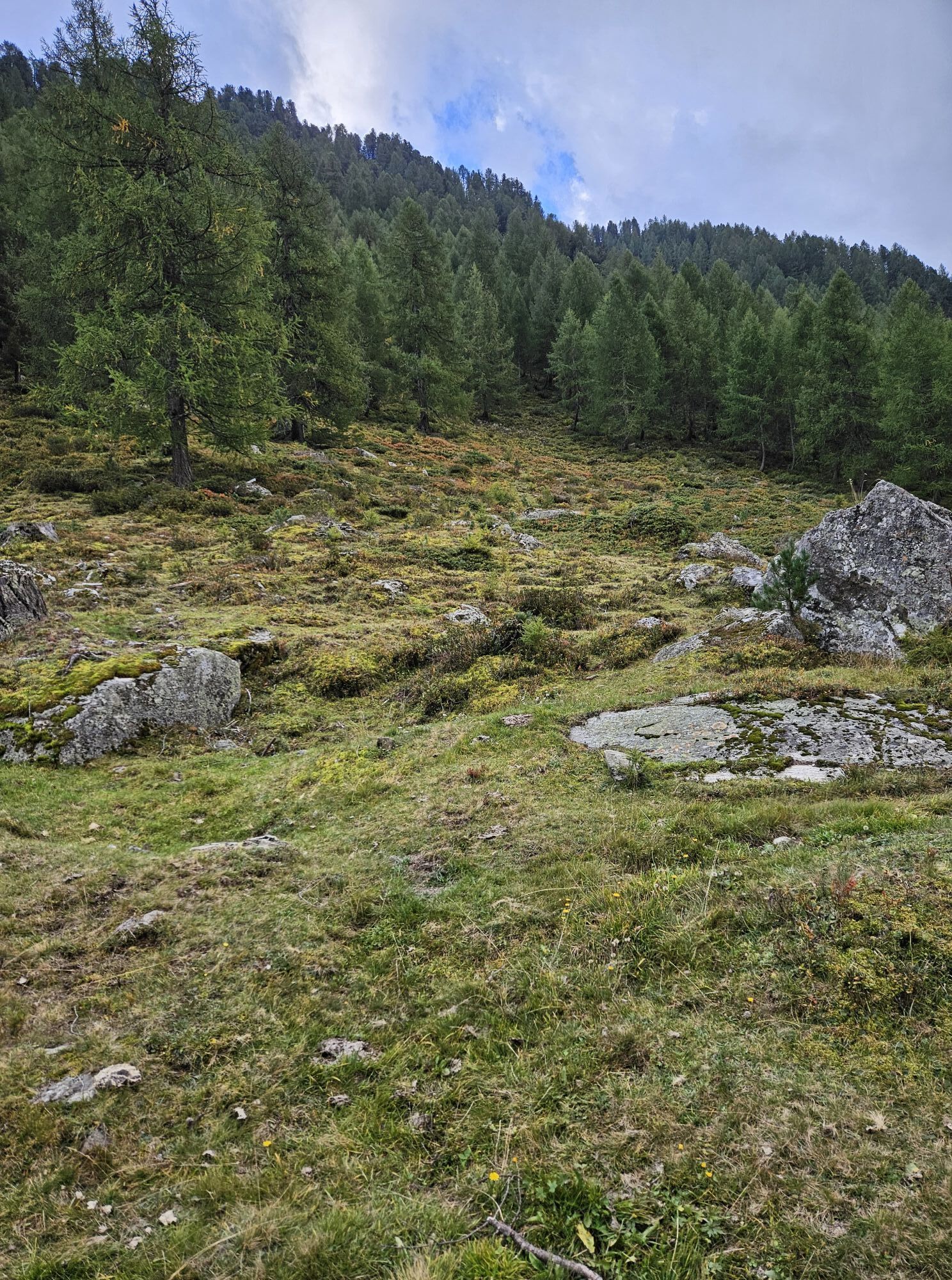
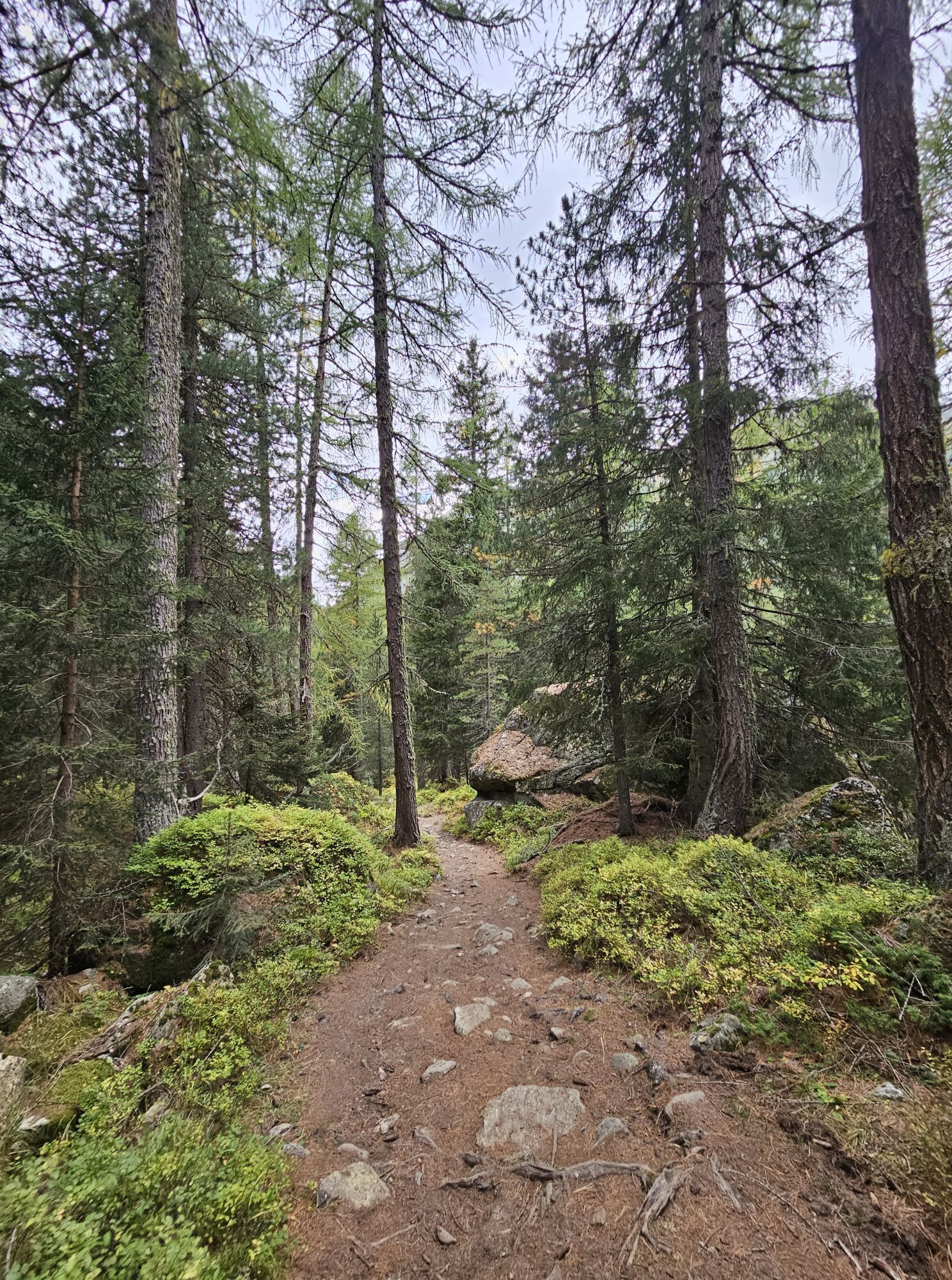
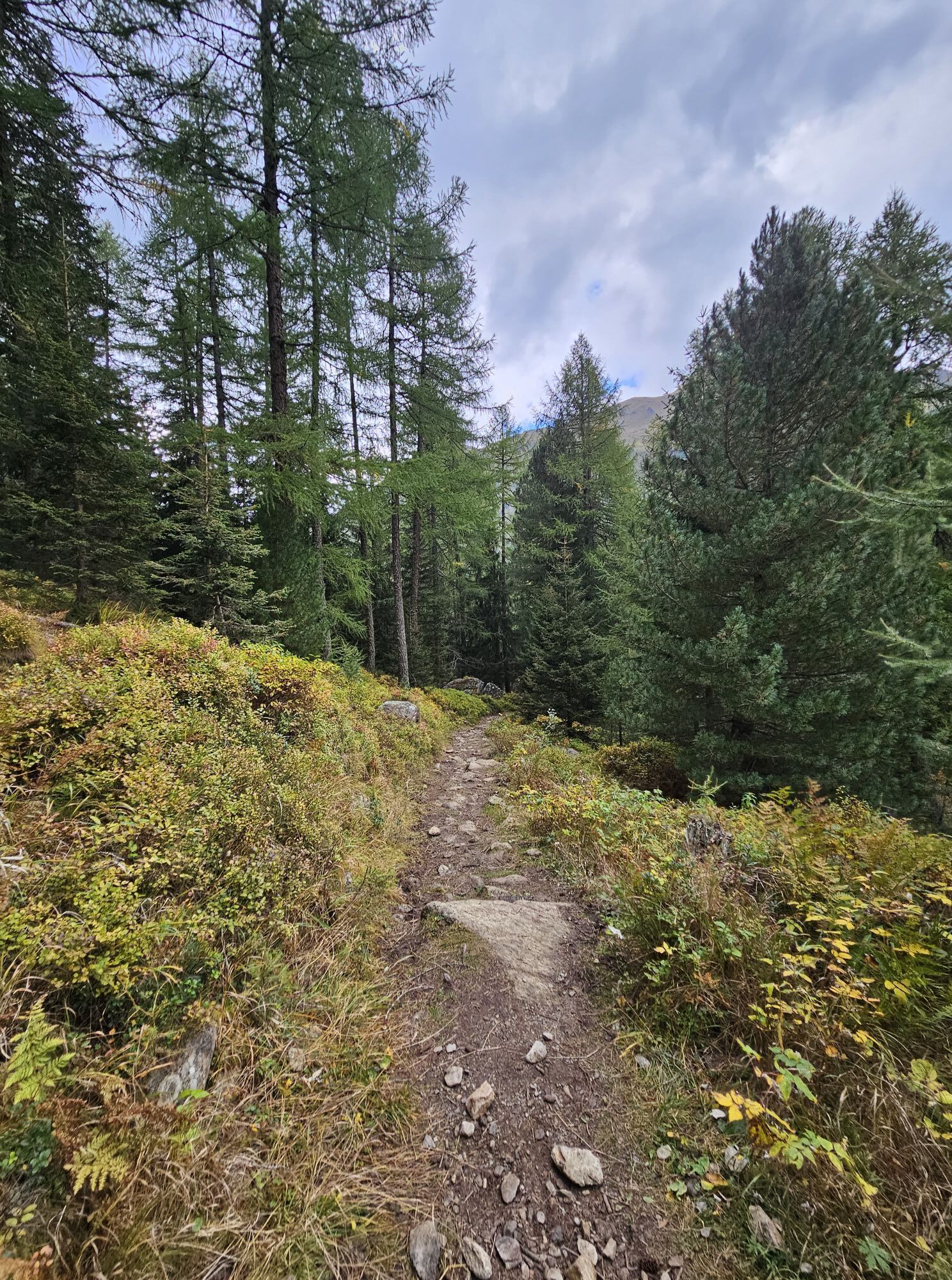
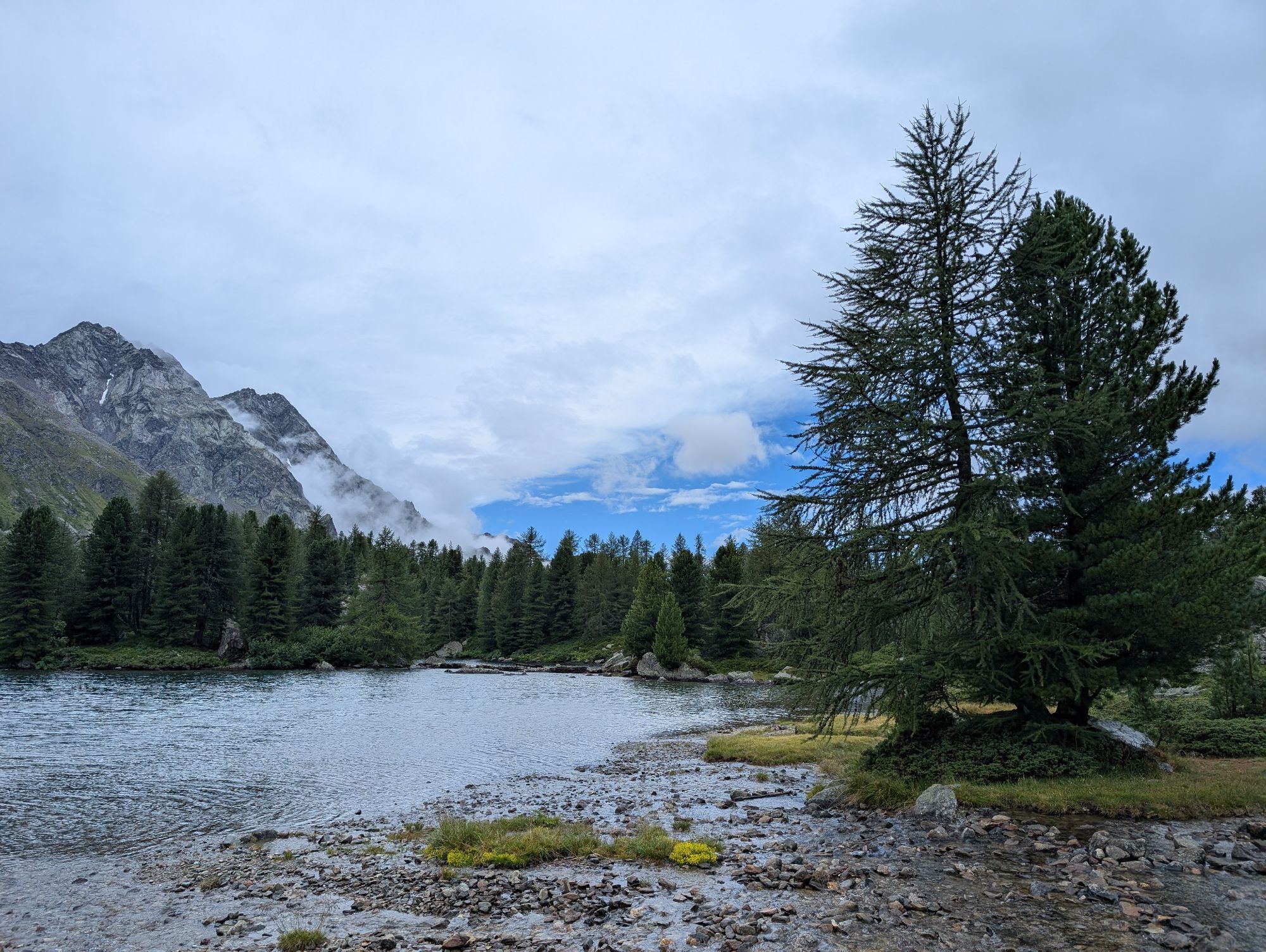
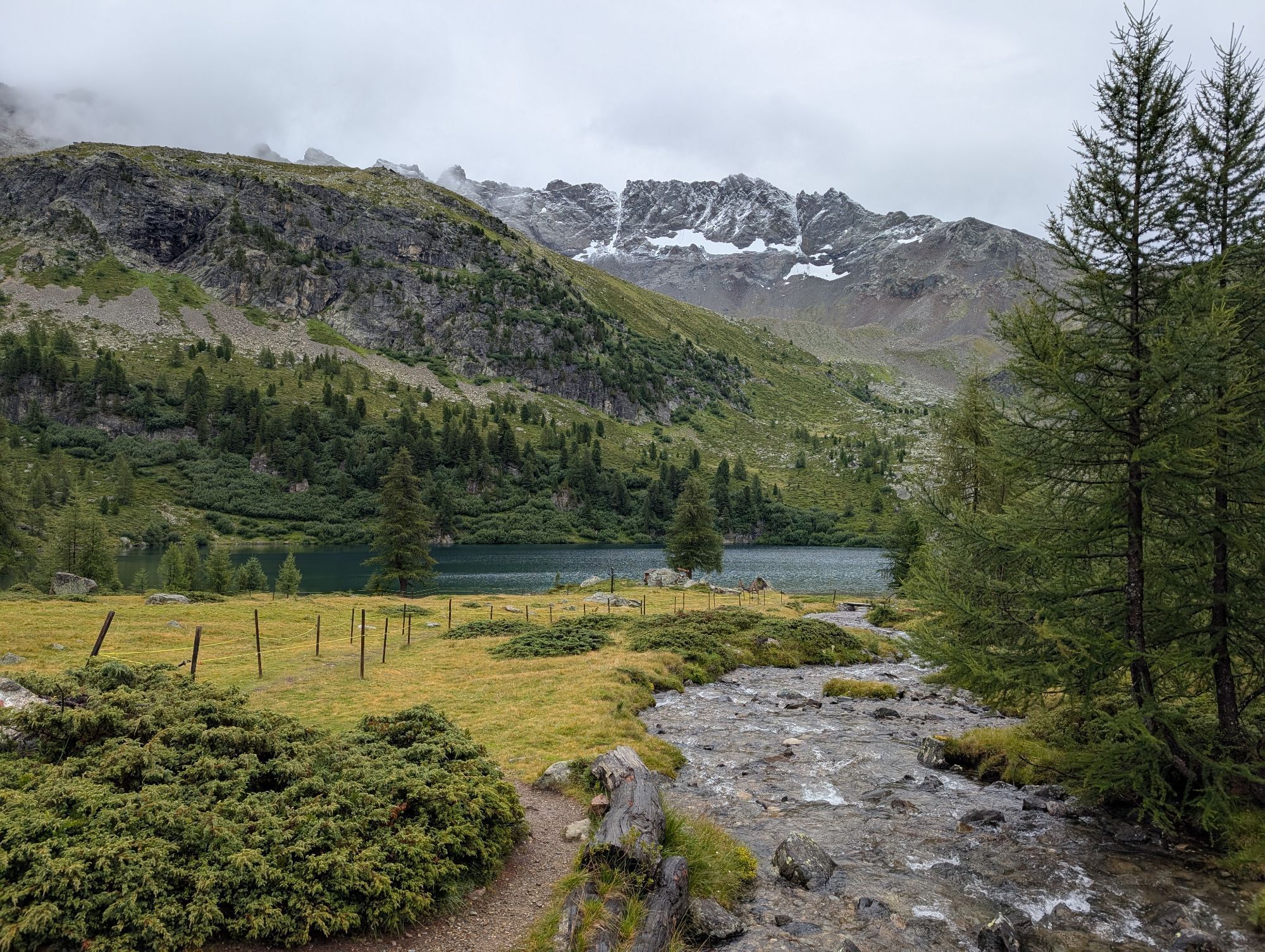
Although several built fireplaces are available on the shore, it is recommended to delay your snack a little because the next section of the hike involves a rather steep ascent of 200 meters in altitude. Initially, it runs through the forest, later above the tree line. Finally, you reach the turquoise-blue Lagh da Viola.
The slope on the east shore of the lake is quite steep, making access to the water here not so easy. Therefore, it is worth circling half of the lake and planning the rest on the large, flat meadow west of the lake.

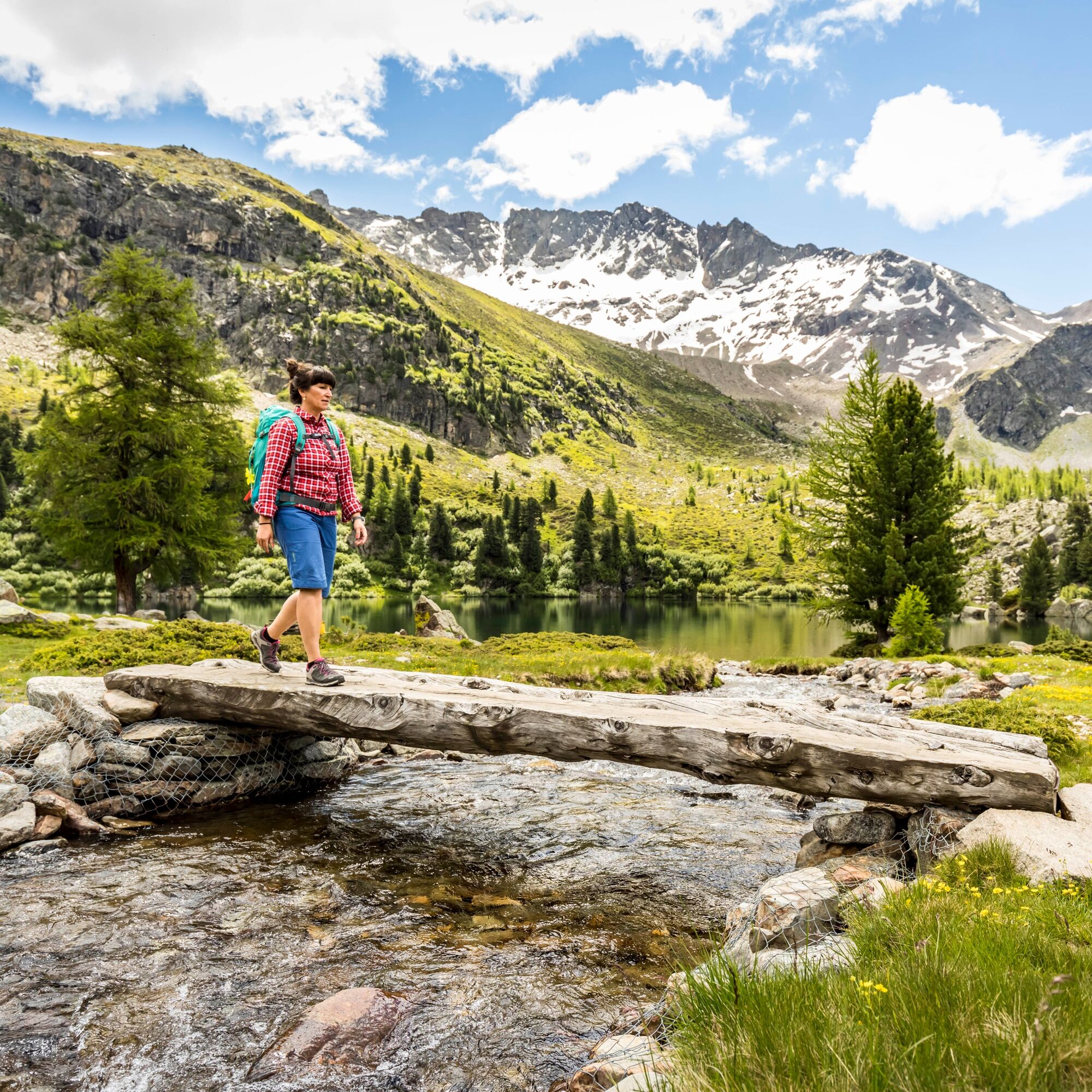
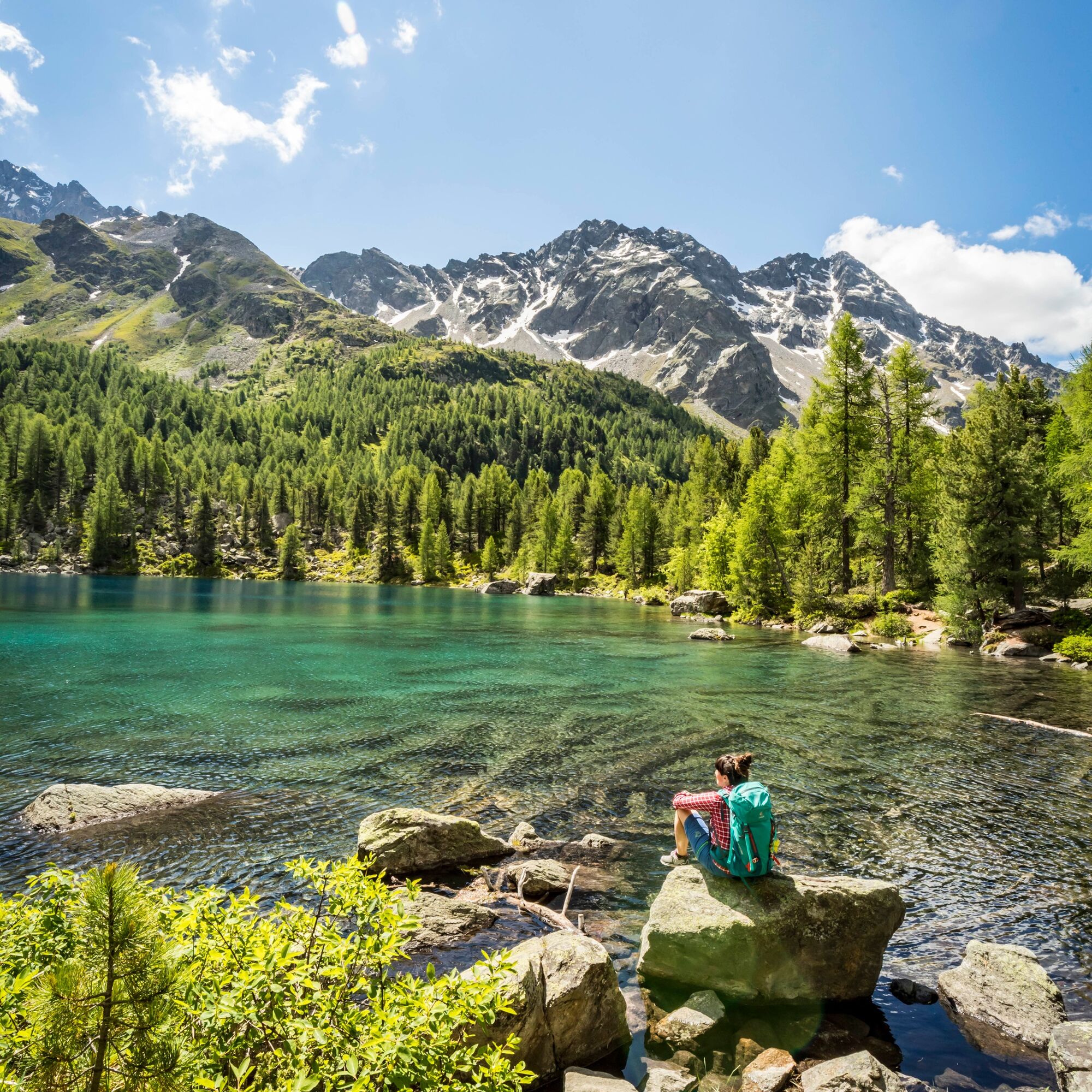
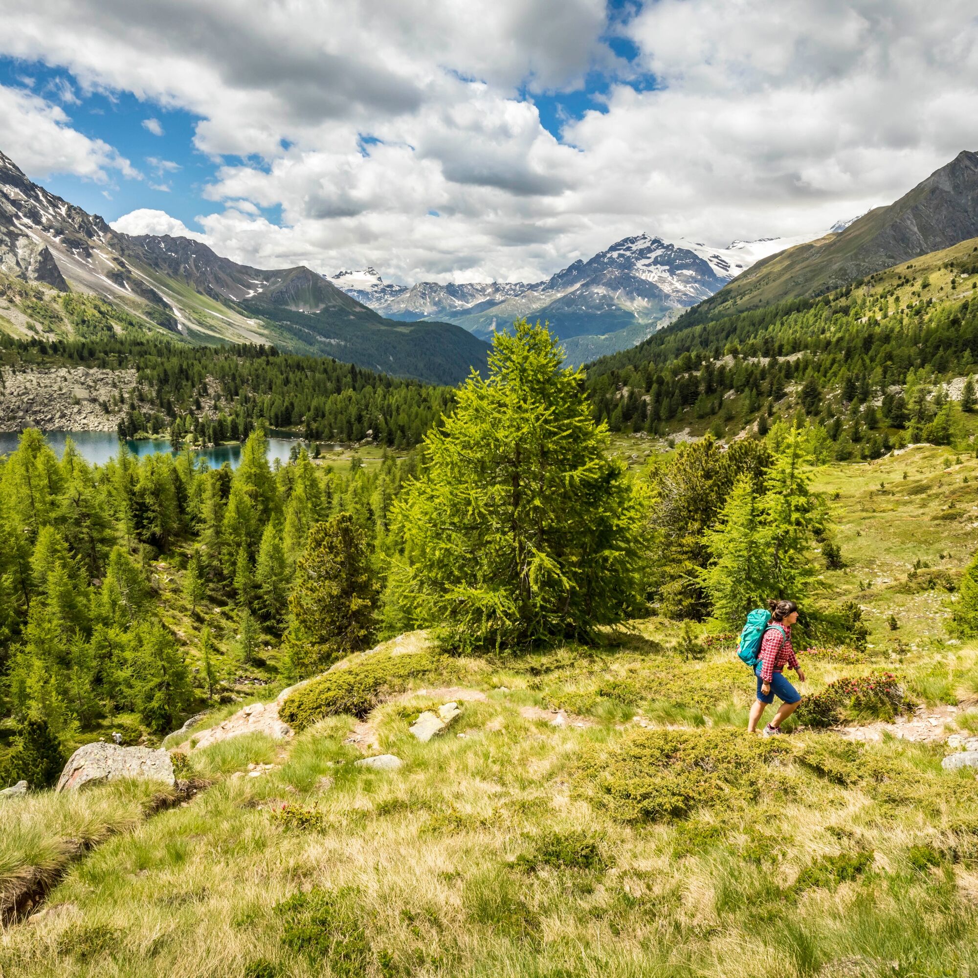
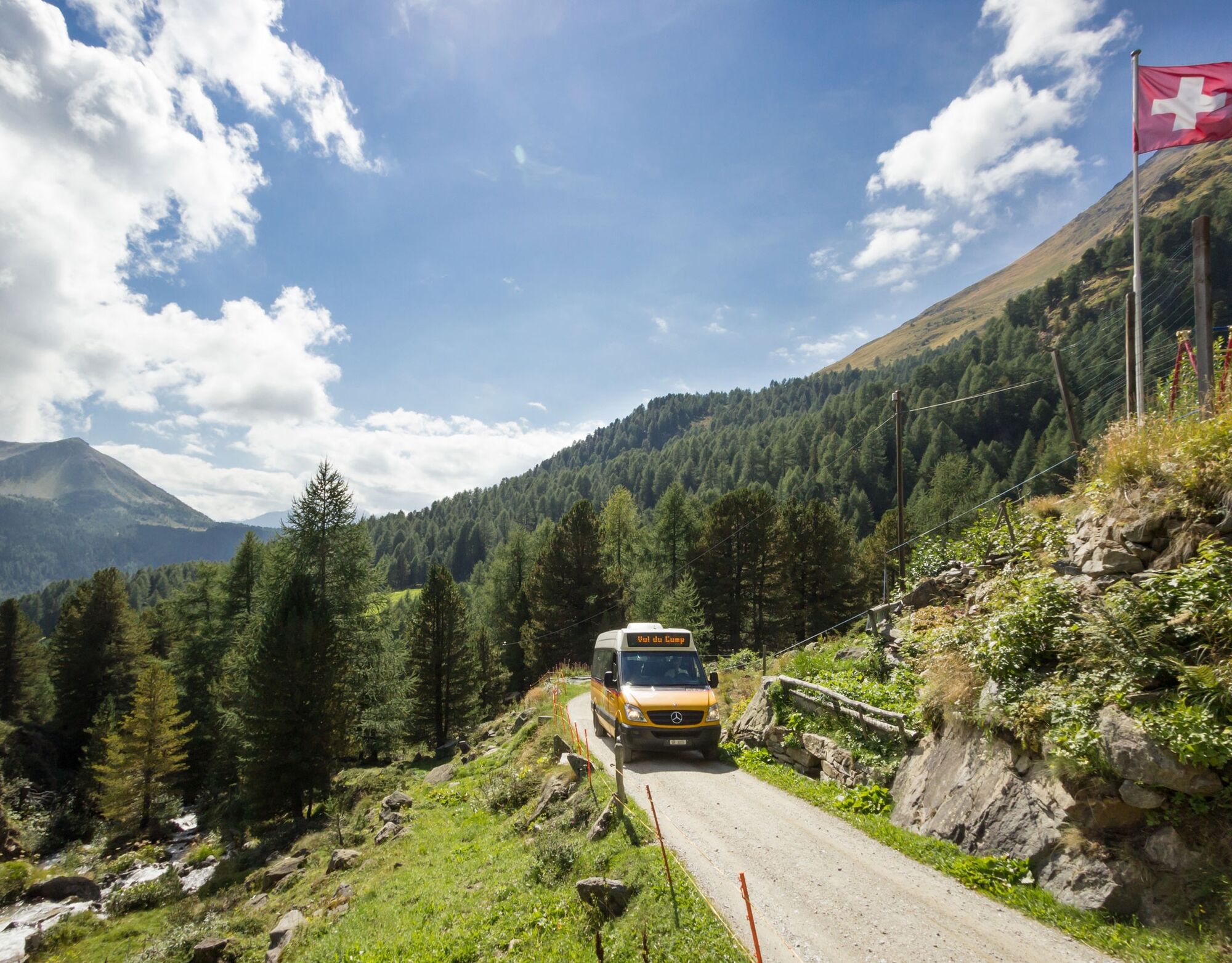
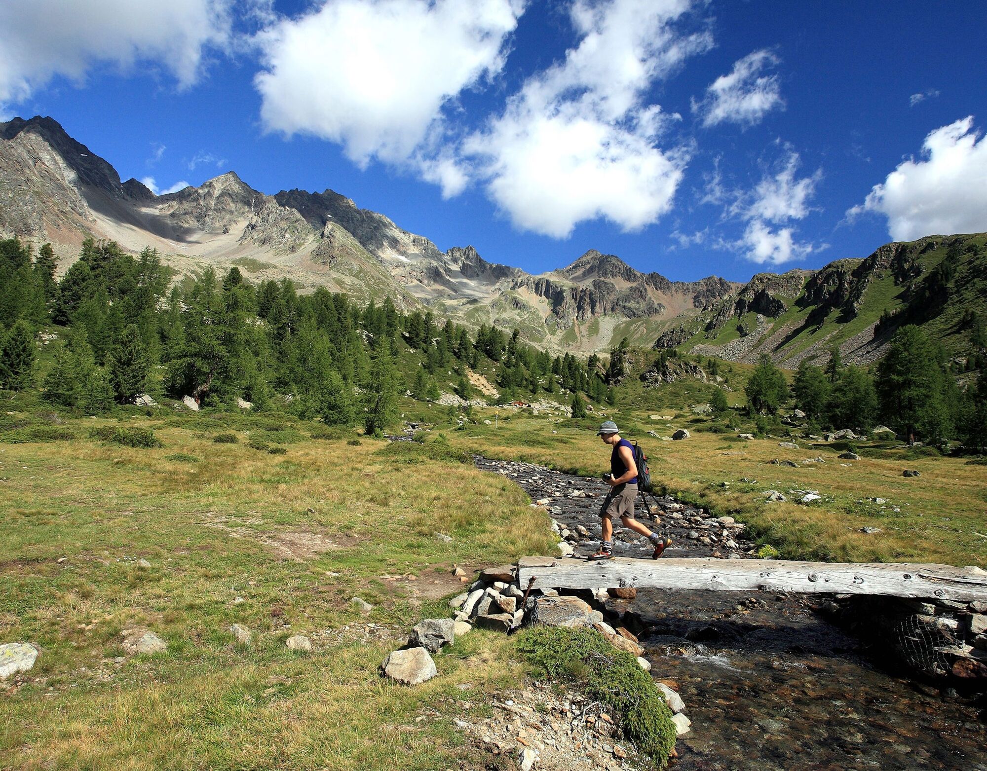

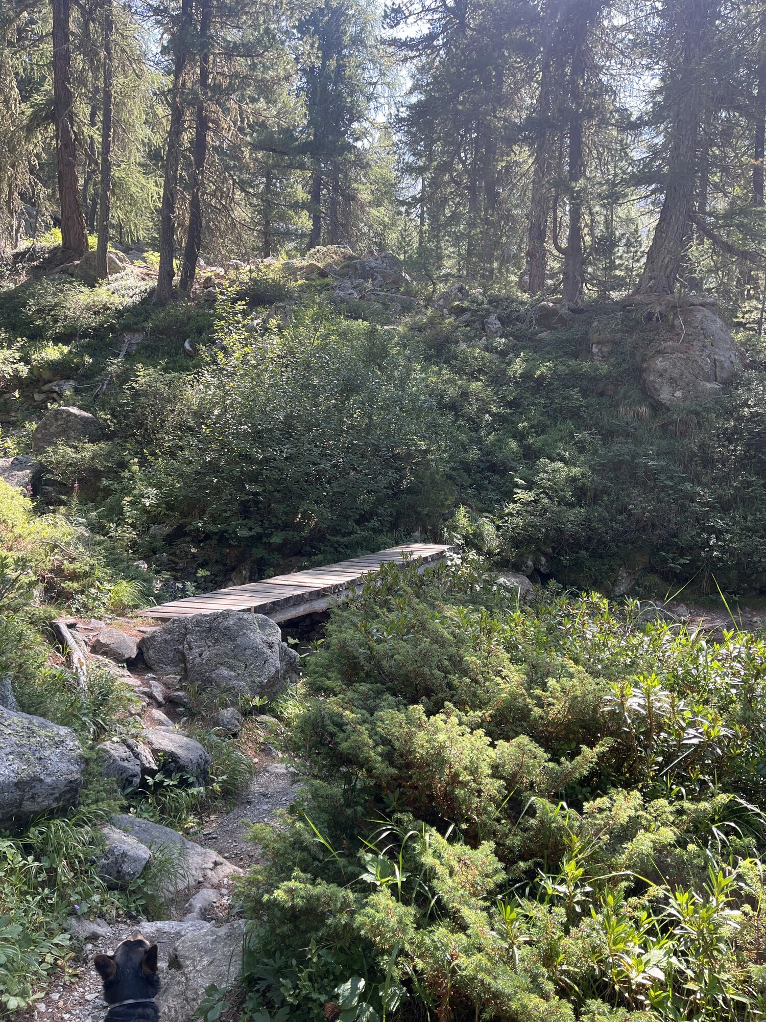
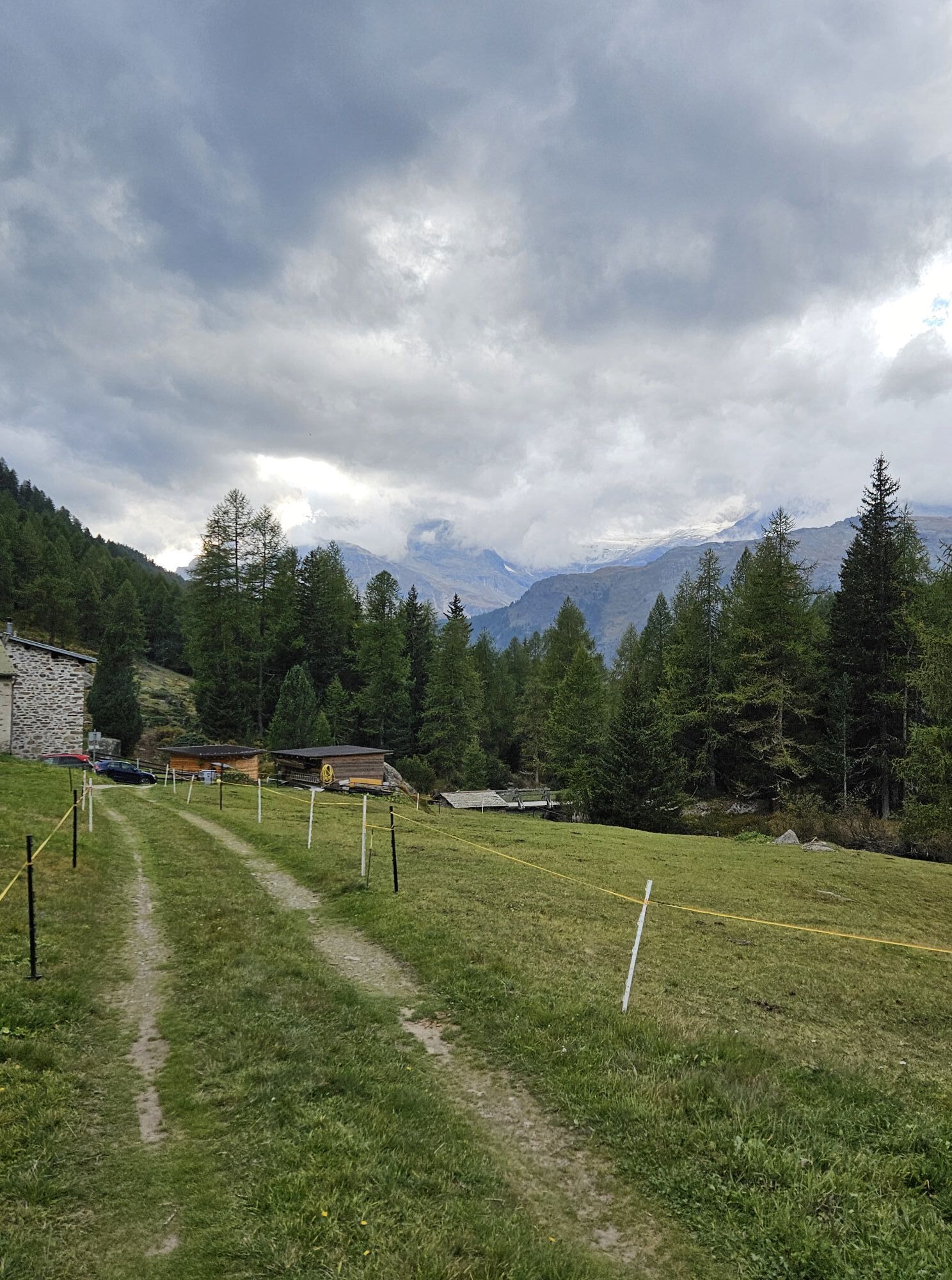
The route is signposted as a mountain hiking trail (white-red-white, difficulty level T2). It is an easy circular route, which is also suitable for families with children. Motorized private traffic is prohibited in Val da Camp. The starting point of the hike is the terminus Alp Camp of the post bus line from Sfazù. Due to limited space in the vehicles, advance reservation is absolutely necessary.
The road from Sfazù to Campo is passable by car for the residents of Val da Camp.
Shuttle bus - PubliCar
You can shorten the route by taking the shuttle bus from Poschiavo to Sfazù or to Alp Camp. Information and reservation at the post bus: +41 81 844 10 42, info@balzarolo.ch, www.balzarolo.ch/de/personentransport
Timetable: www.sbb.ch
Lagh da Saoseo
Between hiking trails and forests, amidst intense moss and resin scents, lies the beautiful "Lagh da Saoseo." Its colors range from blue through turquoise, dark green to violet. From Alpe Campo, "Lagh da Saoseo" is reachable in 10 minutes on foot.
Valposchiavo Turismo
Vial da la Stazion 12
7742 Poschiavo
T. +41 81 839 00 60
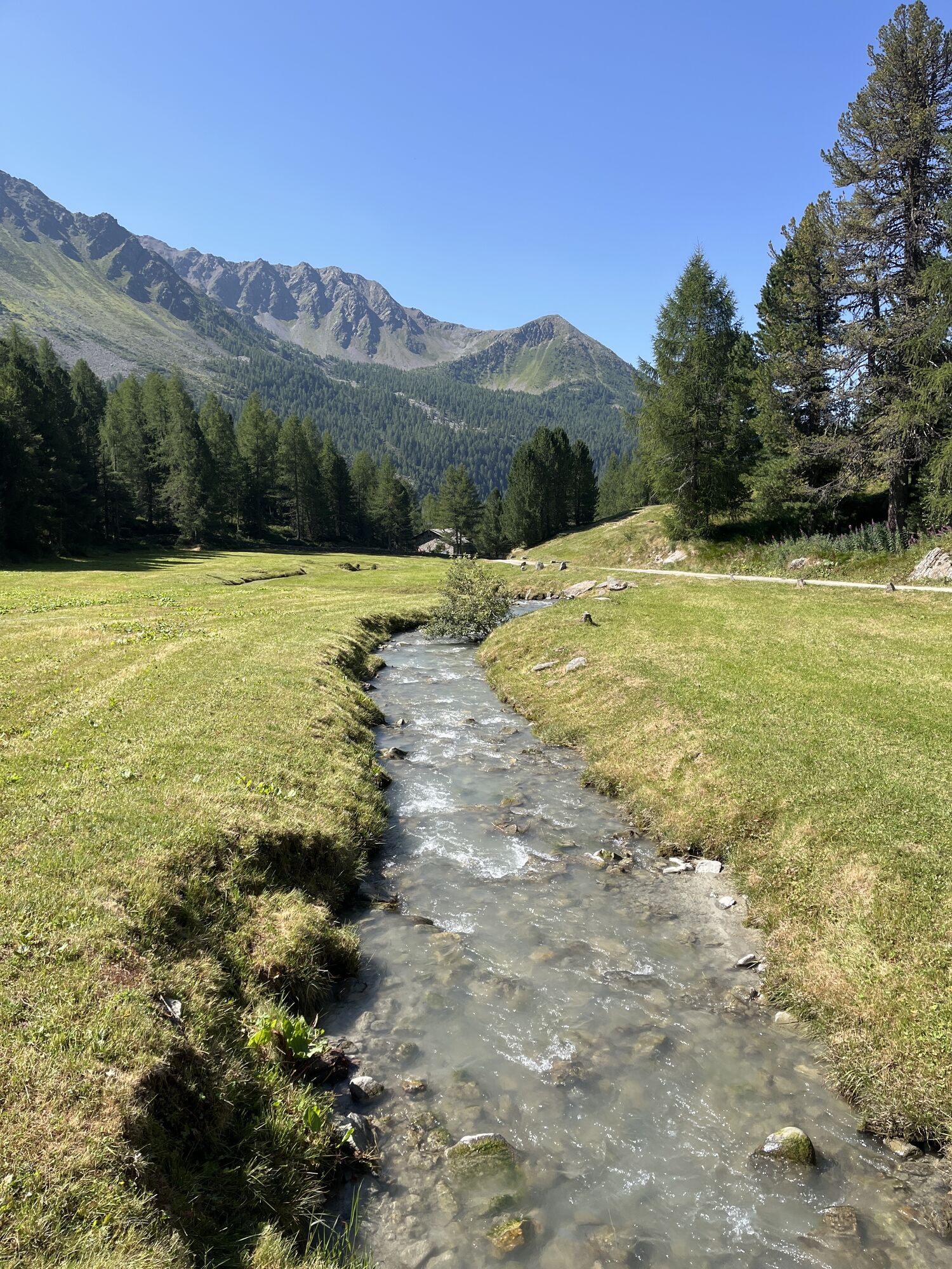
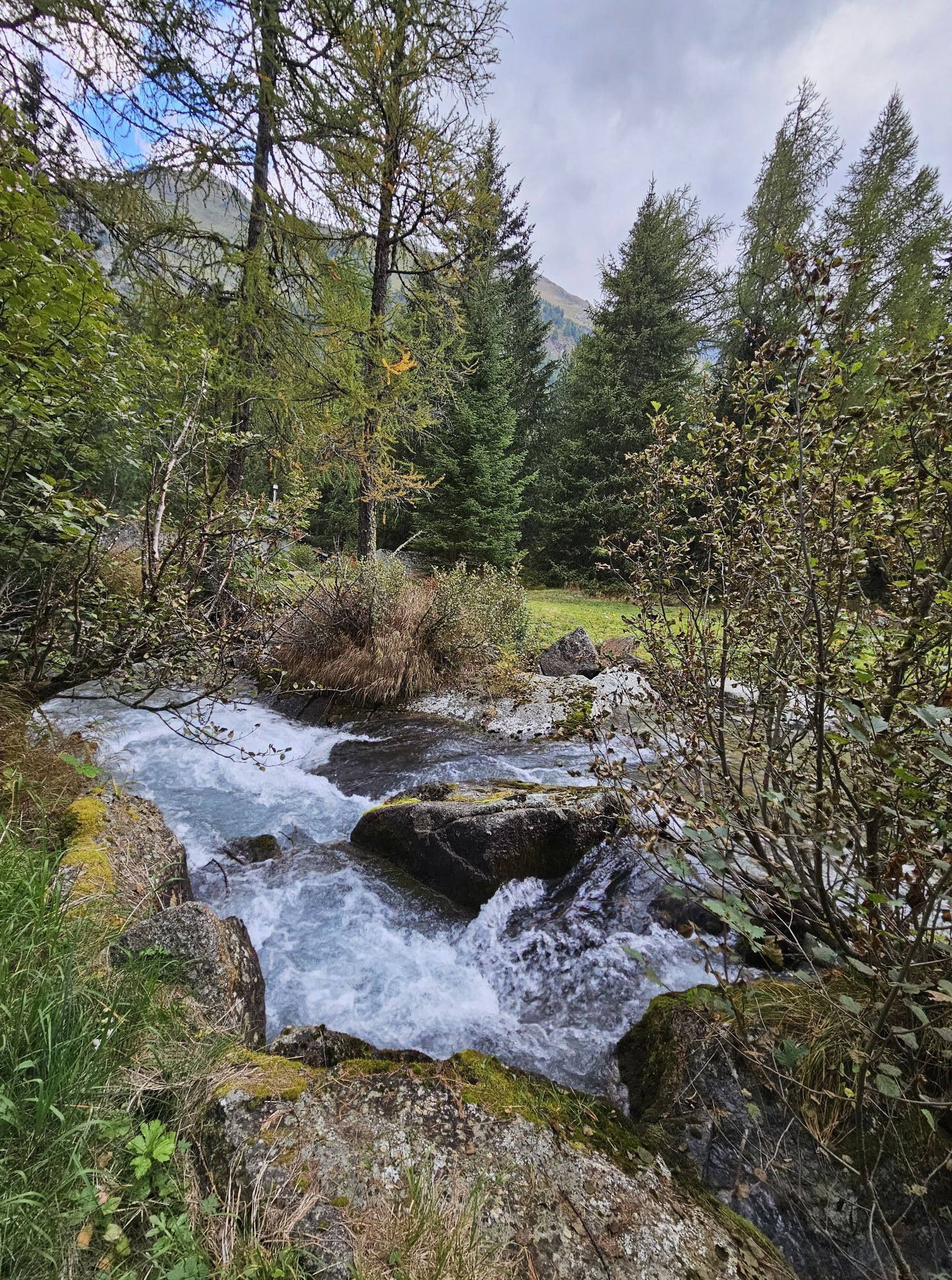
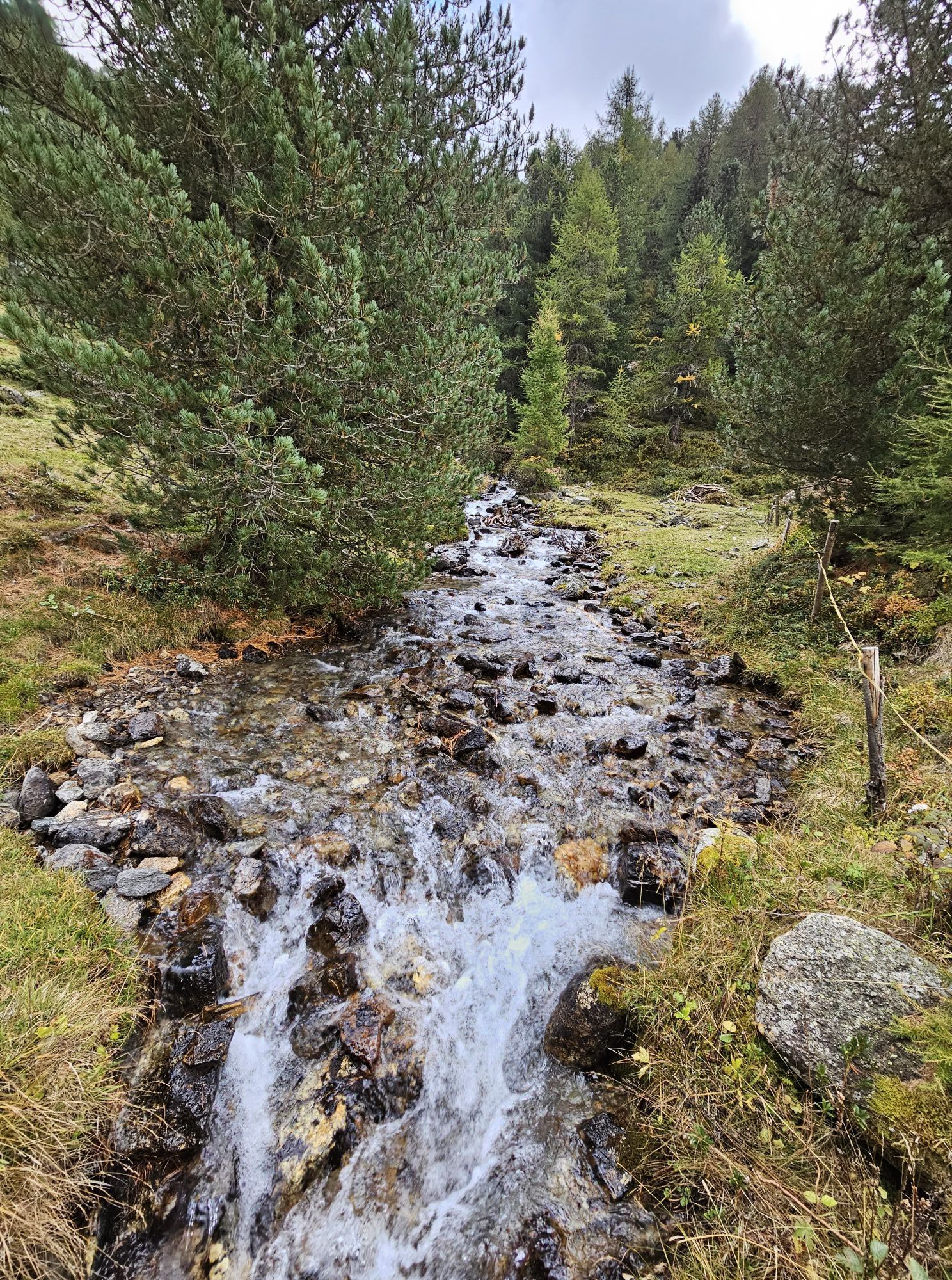
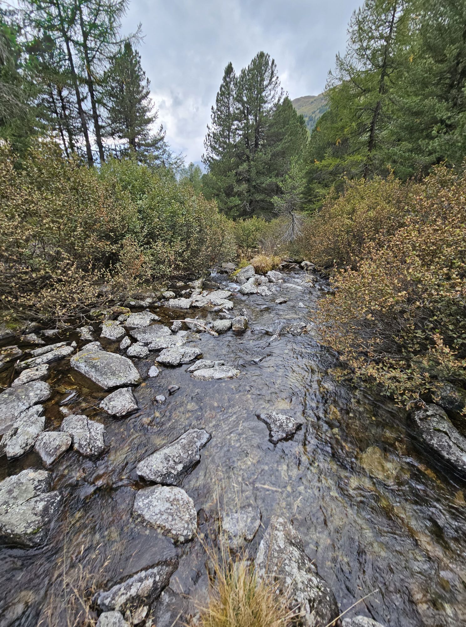
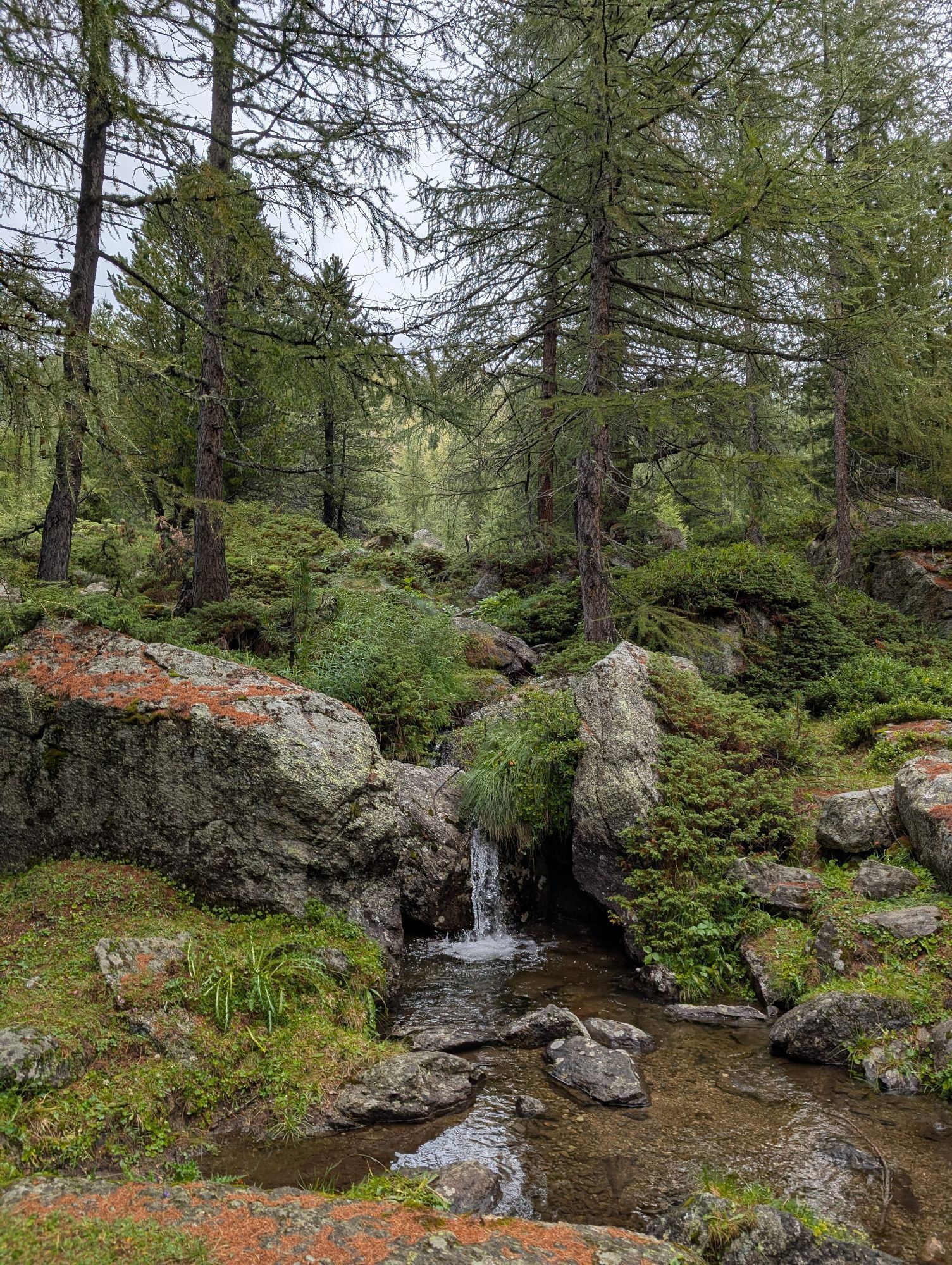
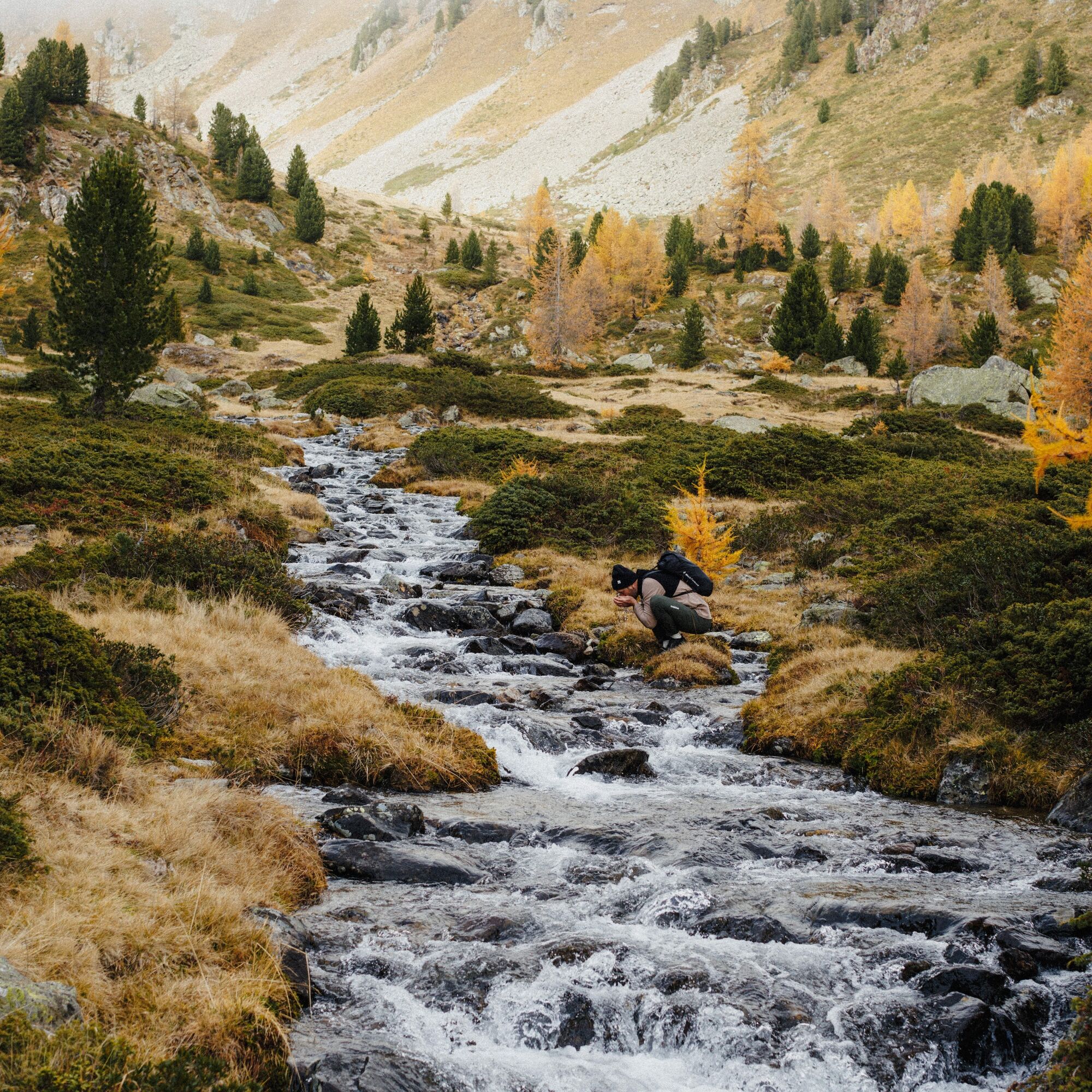
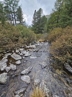
The mouth of the mountain stream into Viola Lake is perfect for playing, damming, and splashing.





Oblíbené prohlídky v okolí
- 4.7
Diavolezza - Munt Pers
světloHorská turistika 3.82 km - 4.8
Lagalb - Val Minor - Motta Bianca - Lagalb
středníTuristika 9.80 km - 4.4
Piz Palü (3.905m) – Hochtour
středníVysokohorská turistika 13.4 km - 4.5
Diavolezza - Lej da Diavolezza
středníTuristika 6.22 km - 4.7
Val Nera Waterfalls
světloTuristika 5.70 km - 5.0
Diavolezza - Sass Queder
světloTuristika 1.55 km - 5.0
Ospizio Bernina Station - Alp Grüm (-Cavaglia)
světloTuristika 4.97 km - 4.3
Lago Bianco
Turistika 7.91 km - 4.6
Diavolezza
heavyTrailrunning 5.97 km - 4.5
53 Bernina Tour Switzerland: Stage 2 Bernina Pass-Diavolezza
středníTuristika 8.67 km
Pěší turistika a stopování


Nenechte si ujít nabídky a inspiraci pro vaši příští dovolenou
Vaše e-mailová adresa byl přidán do poštovního seznamu.





