







Val da La Forcola
Úroveň obtížnosti: S1
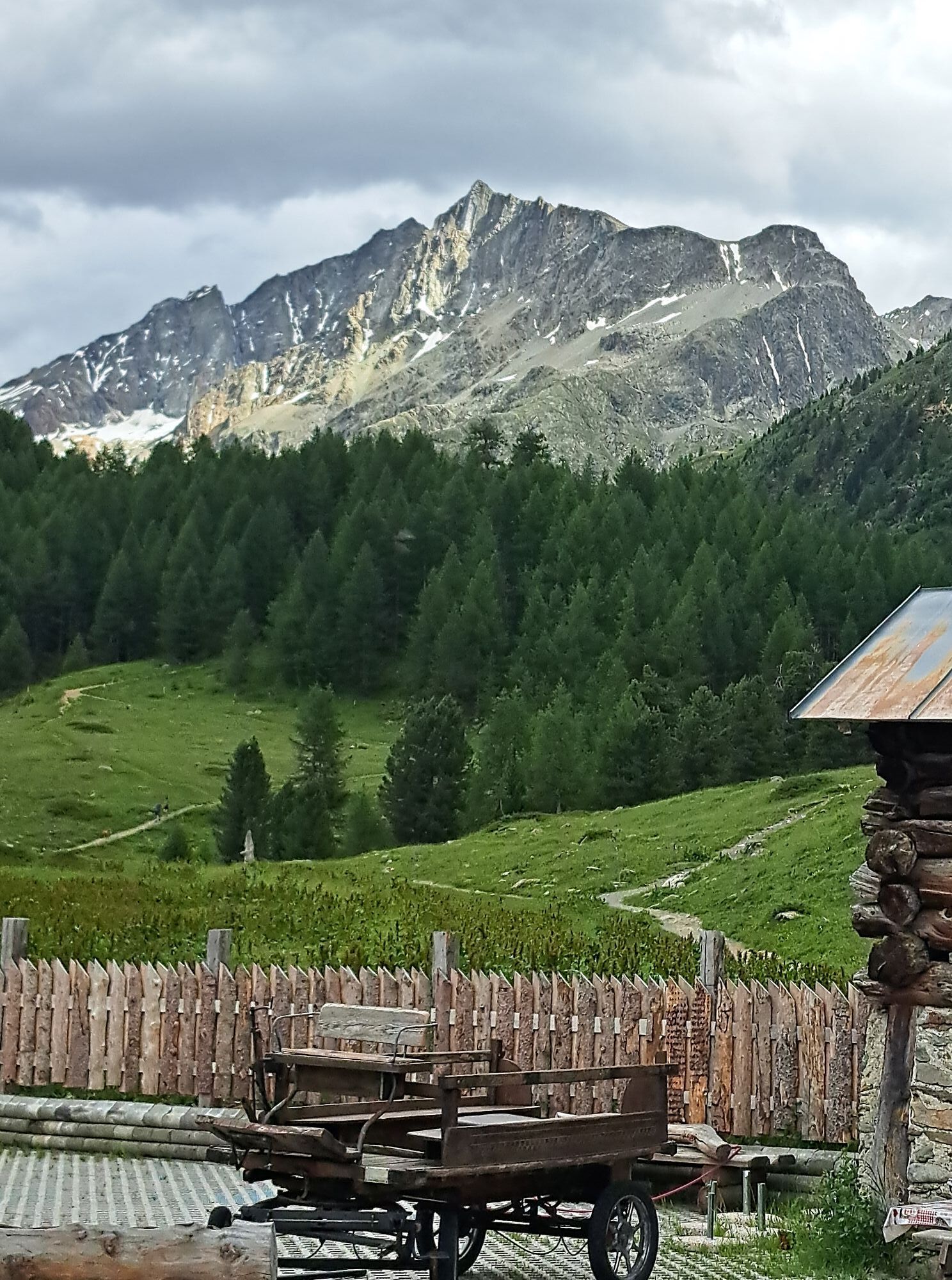
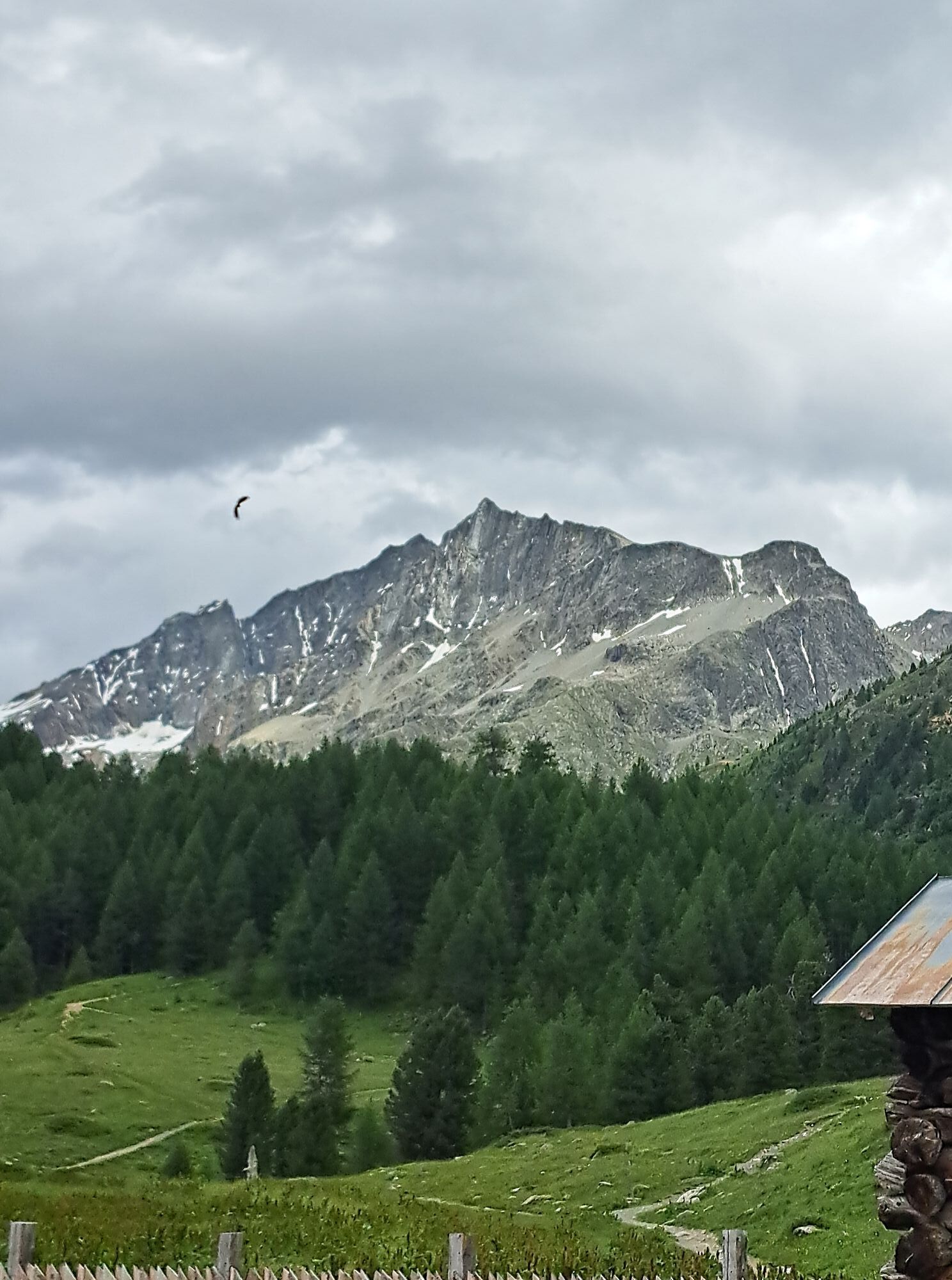
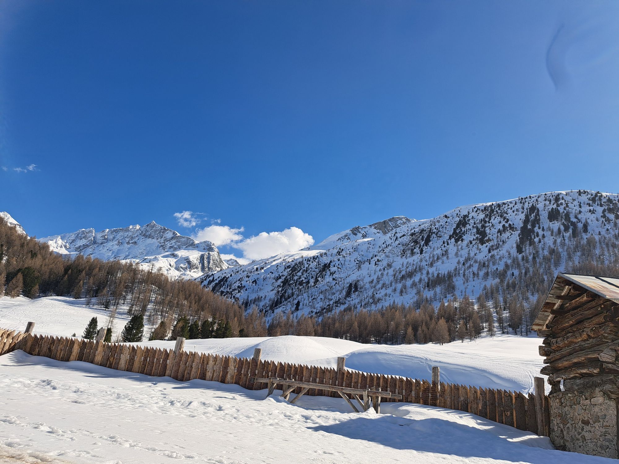
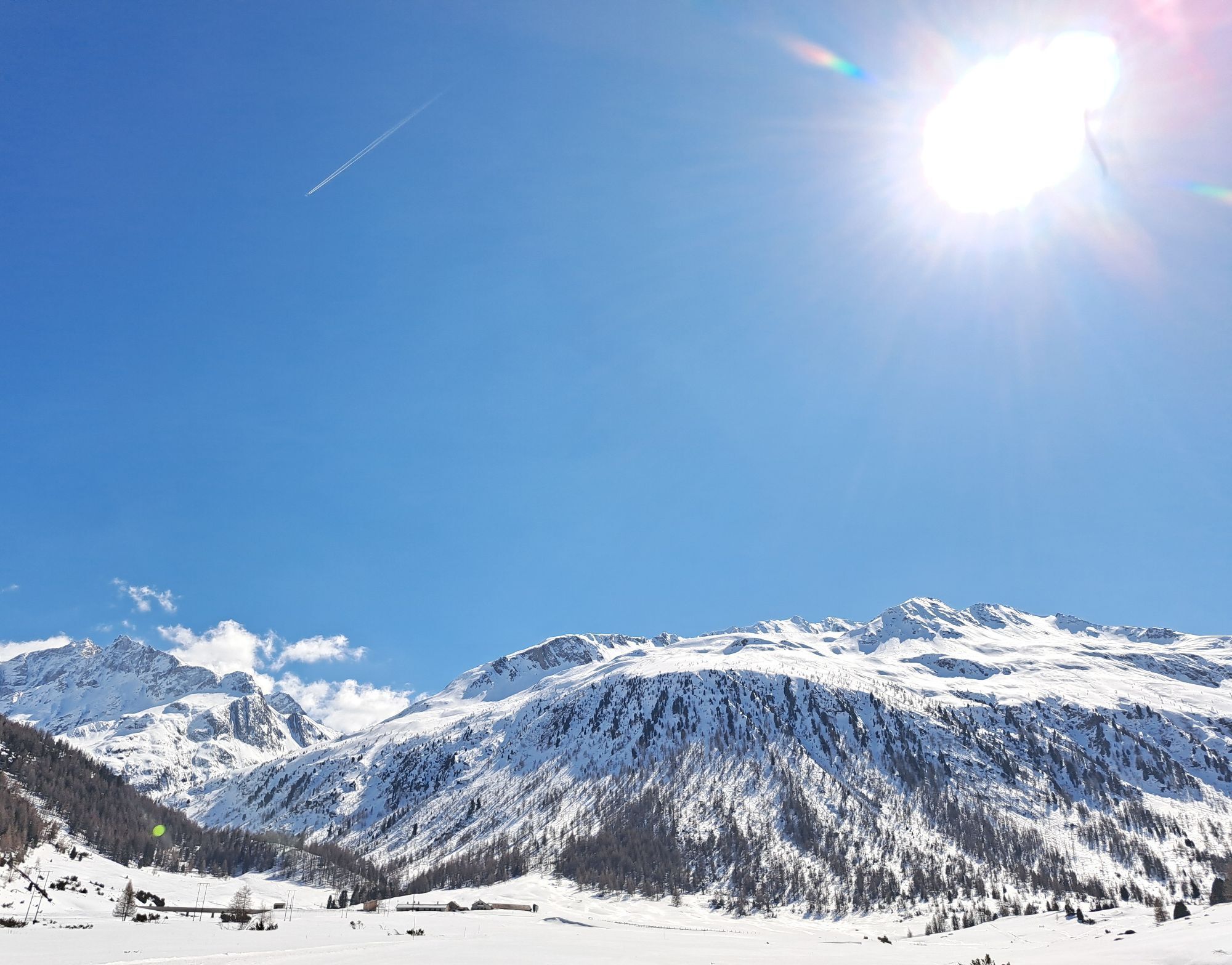
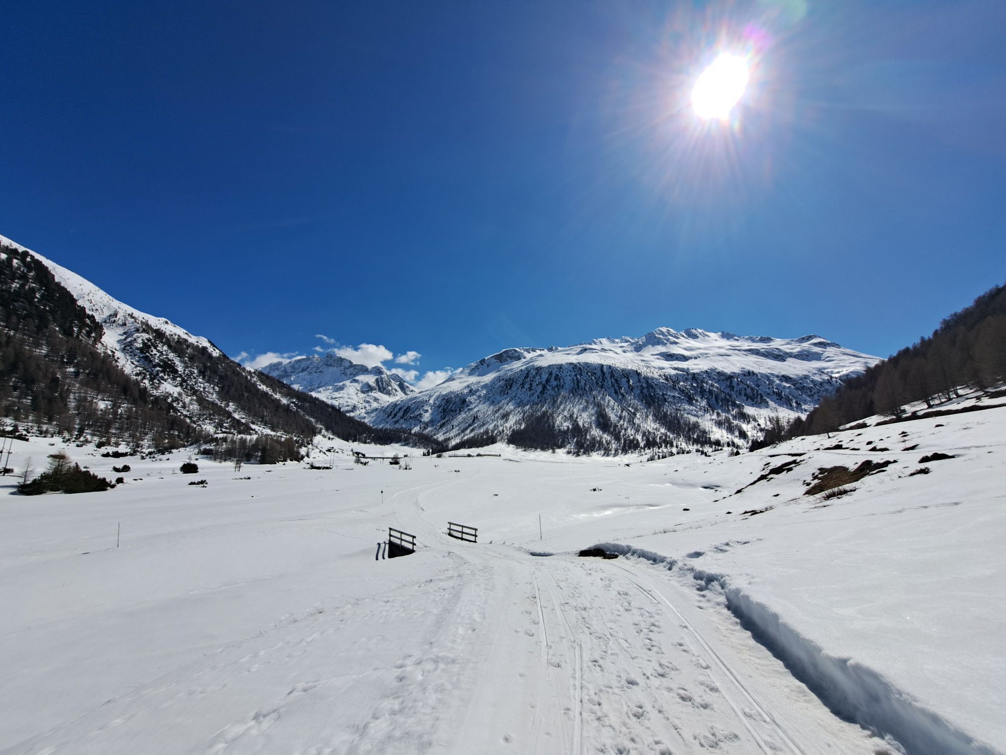
Starting from the center of Livigno, we follow the river on the bike path towards Forcola.
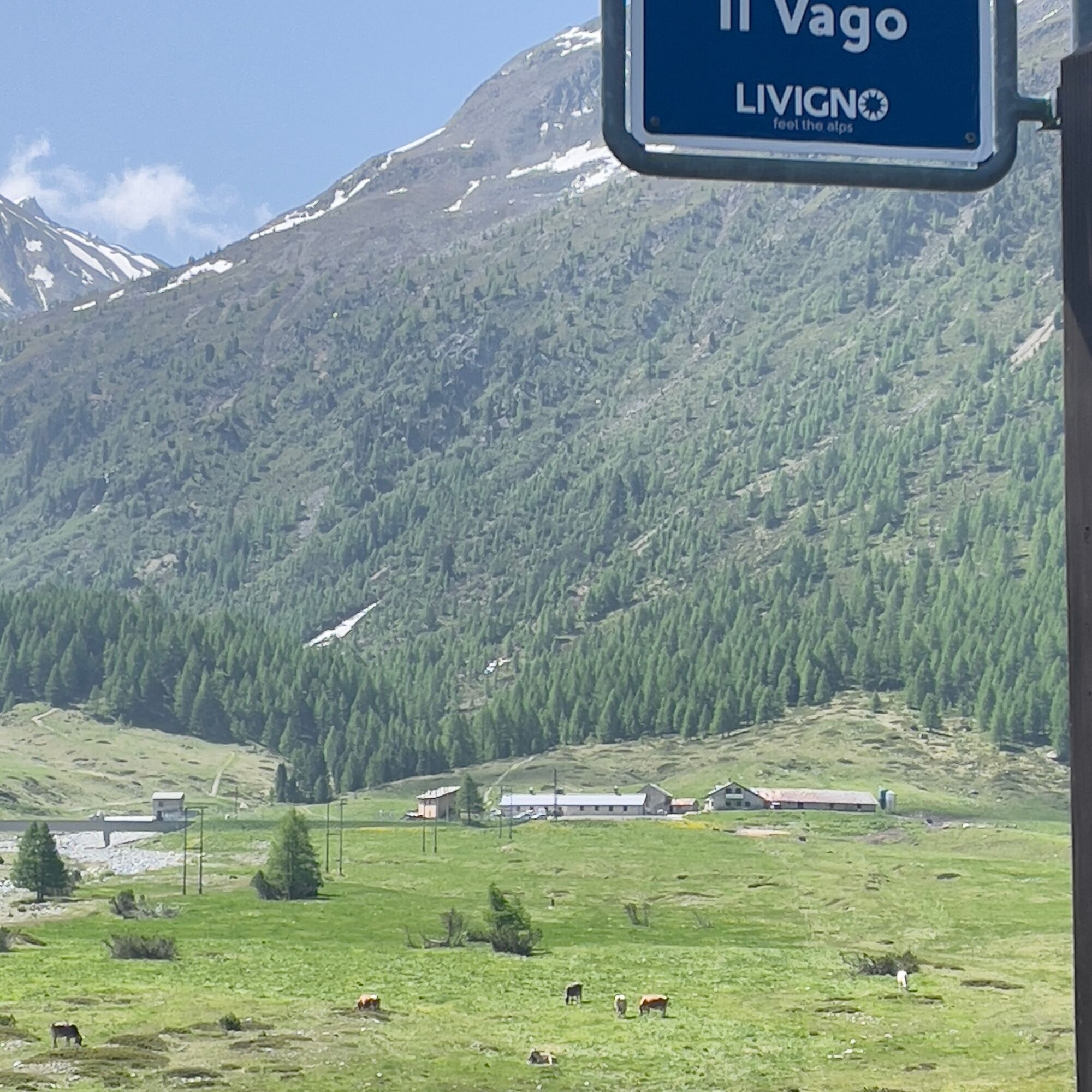
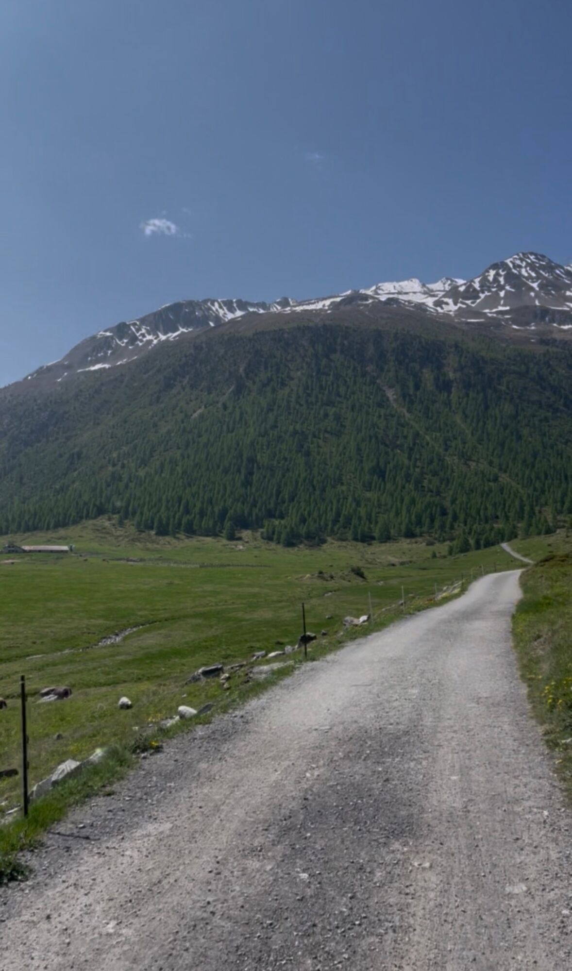
We traverse the entire length of the valley, immersed in large meadows and woods, framed by mountains on both sides....
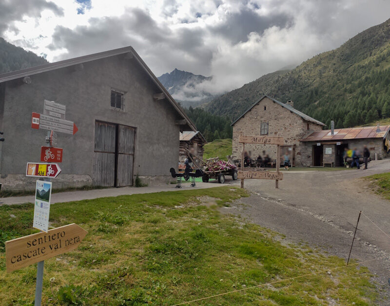
We traverse the entire length of the valley, immersed in large meadows and woods, framed by mountains on both sides. From parking lot P7 near Hotel Forcola, we continue on the dirt bike path that follows the river to parking lot P8. Alpe Vago can be seen in the distance.
At the fork: Right: continue along the valley floor to the Forcola Pass
Left: reach the Malga, ideal for a lunch break or snack
Return along the same route as the outward journey.
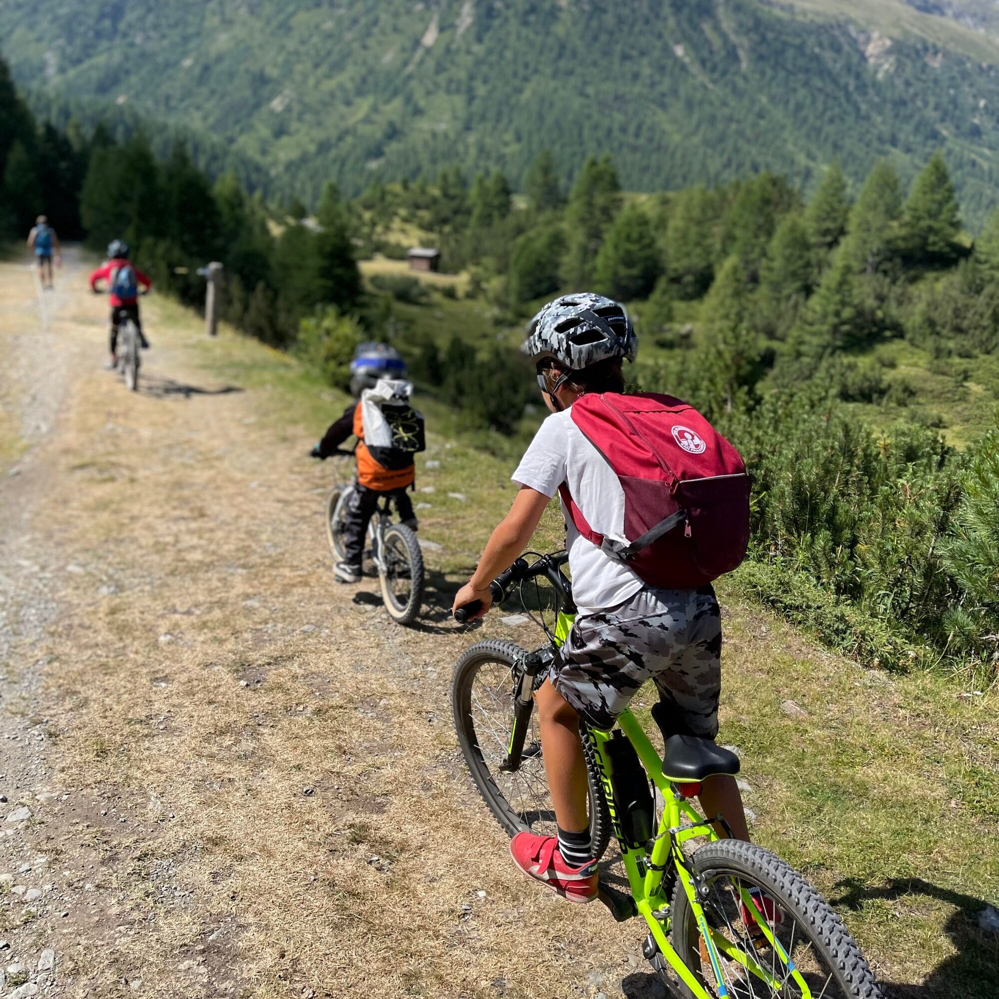
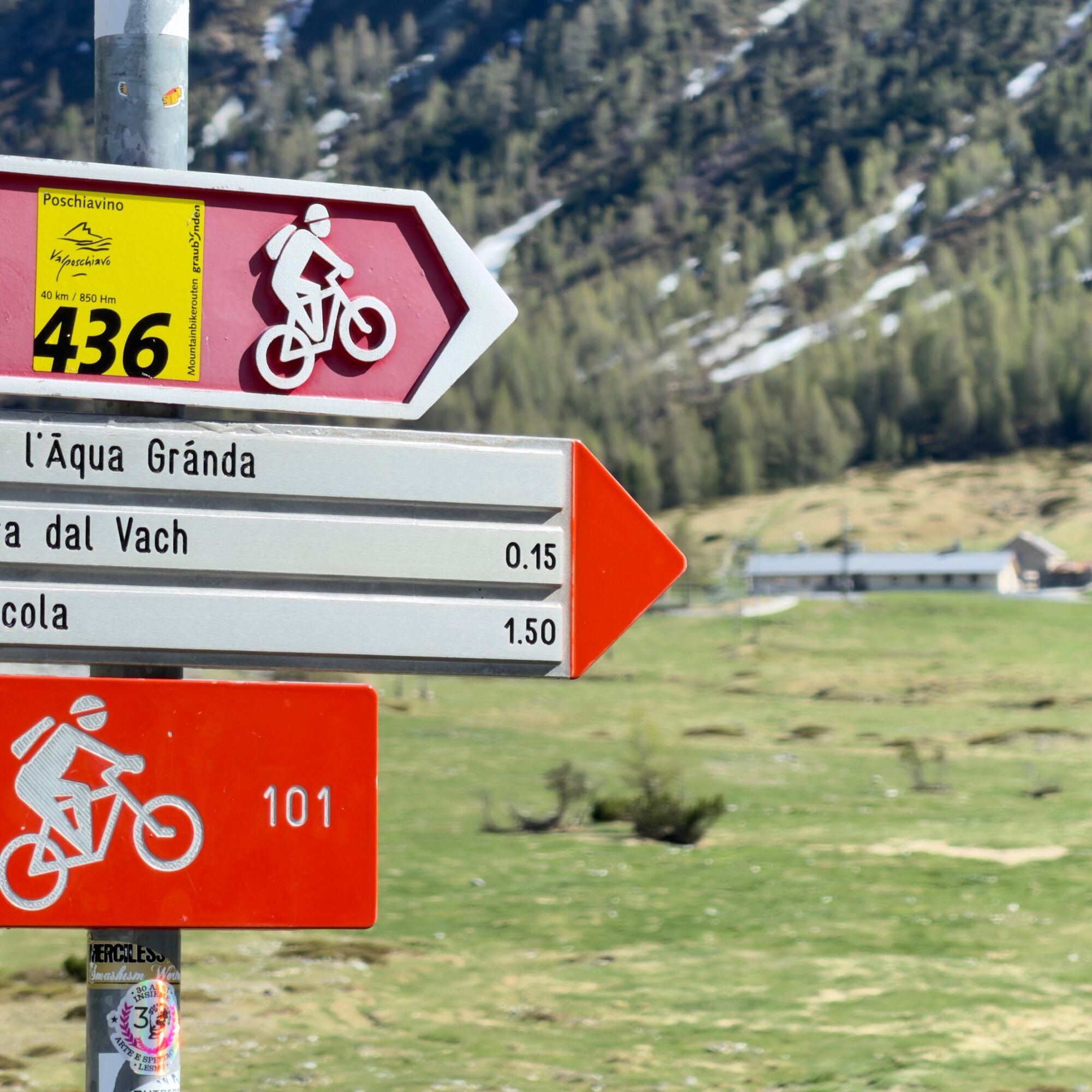

P 14 Po'nt Lo'nch-Baite'l da Li Re'sa - Aqua dal Ve'sc'cov - Po'nt dal Ve'rt - P 8 Al Vach - P 10 La Fo'rcola
Ano
Ano
Ano
Bici Tradizionale / E-Bike, Casco , Zaino,
Helmet always worn, backpack with rain/wind jacket
S1
The churches of Livigno. The first church dates back to 1300 and is that of St. Mary. Subsequently, the churches of St. Anthony, St. Roch, Our Lady of Sorrows of Florino, the Immaculate Conception of Lourdes at Tresenda, Our Lady of Sorrows in Val Federia, the Blessed Virgin of Caravaggio, and the Immaculate Conception of Vieira were built.
Webové kamery z prohlídky
-
Seggiovia Federia Monte
-
Monte Della Neve
-
Livigno - Mottolino
-
Mottolino - Bike Park
-
Livigno Ski School Area
-
Livigno
-
Livigno - Crap
-
Livigno
-
Livigno Teola
-
Livigno - Hotel Primula
-
Livigno Ortszentrum
-
Livigno
-
Livigno Centro | Livigno Town Center
-
Pista ciclabile
-
SnowFarm
-
Livigno Centro | Livigno Town Center
-
Pista ciclabile
-
Pista ciclabile
-
SnowFarm
-
Centro Sci Fondo | Cross Country Stadium
-
Centro Sci Fondo | Cross Country Stadium
-
Centro Sci Fondo | Cross Country Stadium
-
Centro Sci Fondo | Cross Country Stadium
-
Centro Sci Fondo | Cross Country Stadium
-
Scuola Sci Centrale
-
Scuola Sci Centrale
-
Scuola Sci Centrale
-
Scuola Sci Centrale
-
Scuola Sci Centrale
-
Scuola Sci Centrale
-
Scuola Sci Centrale
-
Seggiovia Federia Monte
-
Seggiovia Federia Monte
-
Seggiovia Federia Monte
-
Seggiovia Federia Monte
Získejte přehled
Vždy živě na místě s více než 9 500 webkamerami. bergfex Jako uživatel Pro si nyní můžete zobrazit odpovídající webové kamery pro mnoho prohlídek v aplikaci prohlídky z. Můžete si tak přímo prohlédnout aktuální podmínky.
Oblíbené prohlídky v okolí
-
4.6
Diavolezza - Munt Pers
světloHorská turistika 3.82 km -
5.0
Morteratsch station - Boval Hut
středníTuristika 10.5 km -
5.0
Muottas Muragl - Segantini hut - Pontresina
středníTuristika 6.46 km -
5.0
Mountain hike to Lagh da Saoseo
heavyTuristika 15.0 km -
4.7
Morteratsch Glacier route
světloTematická stezka 2.88 km -
4.4
Piz Palü (3.905m) – Hochtour
středníVysokohorská turistika 13.4 km -
4.8
Alp Languard - Segantini Hut - Muottas Muragl
středníTrailrunning 6.45 km -
Muottas Muragl - Segantini Hütte - Pontresina
středníTuristika 17.5 km -
5.0
Lagalb - Val Minor - Motta Bianca - Lagalb
středníTuristika 9.80 km -
4.5
Diavolezza - Lej da Diavolezza
středníTuristika 6.22 km

Pěší turistika a stopování


Nenechte si ujít nabídky a inspiraci pro vaši příští dovolenou
Vaše e-mailová adresa byl přidán do poštovního seznamu.





