







Nationalparkregion – E-Mountainbike Tour Stage 3: Livigno – Zuoz
Úroveň obtížnosti: S3
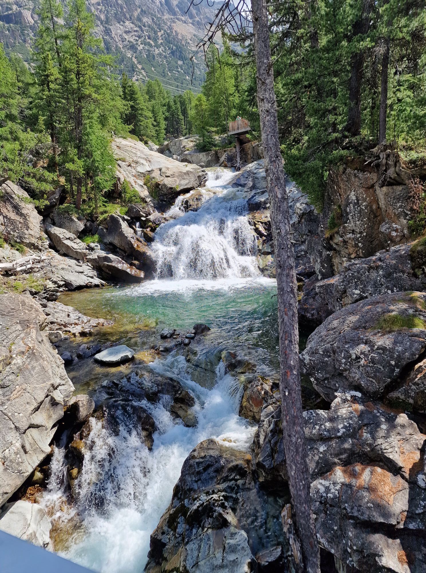
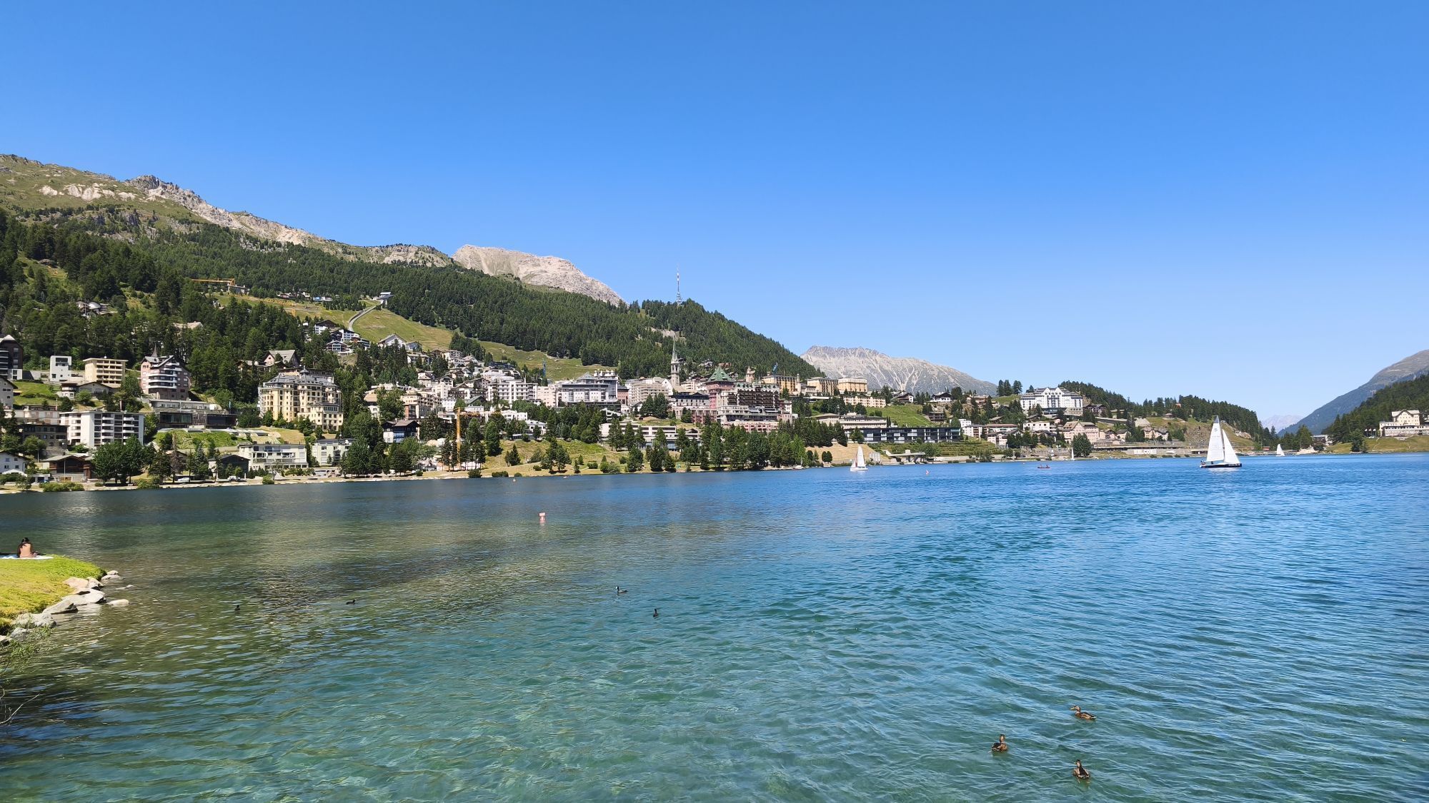
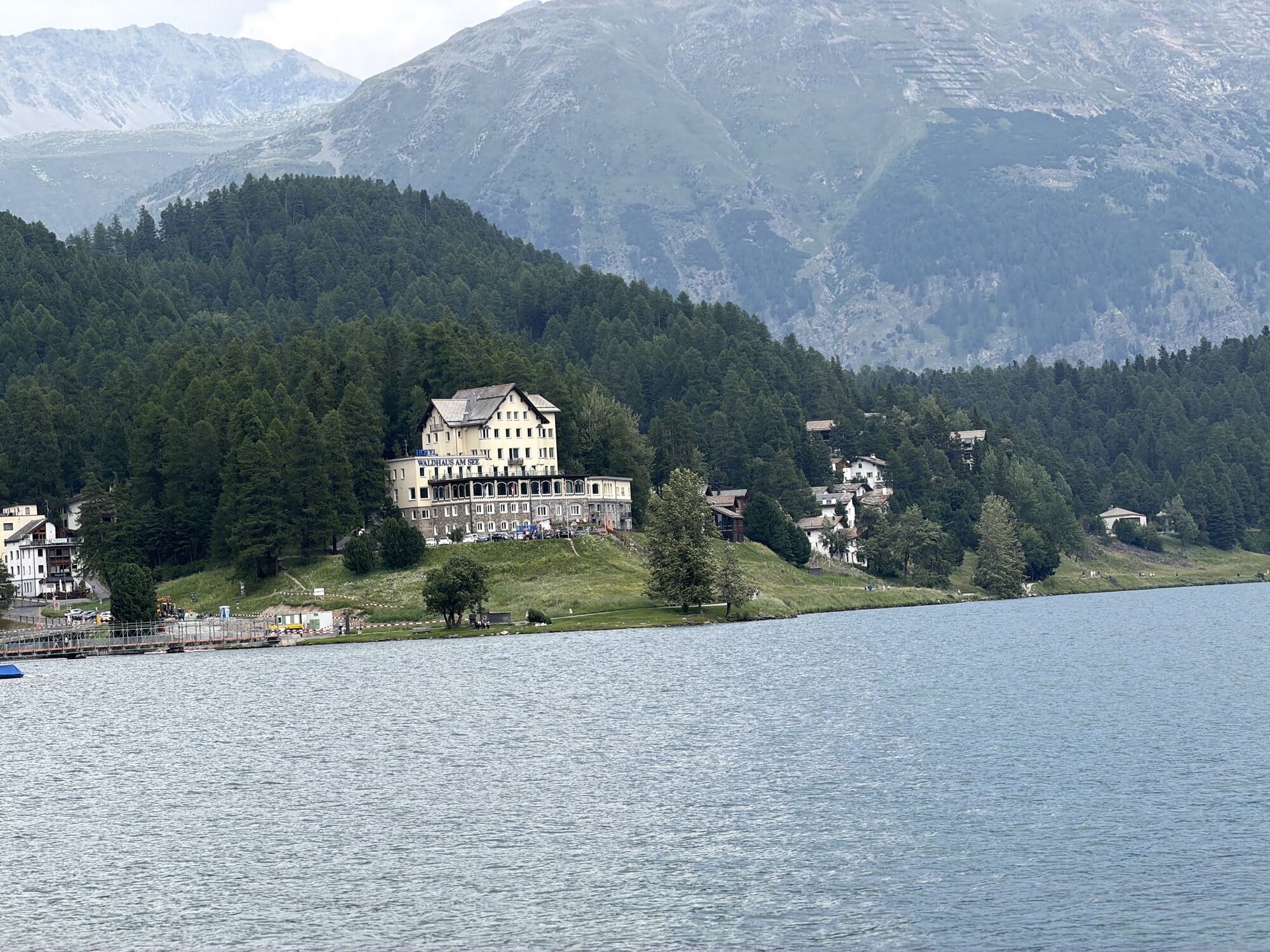
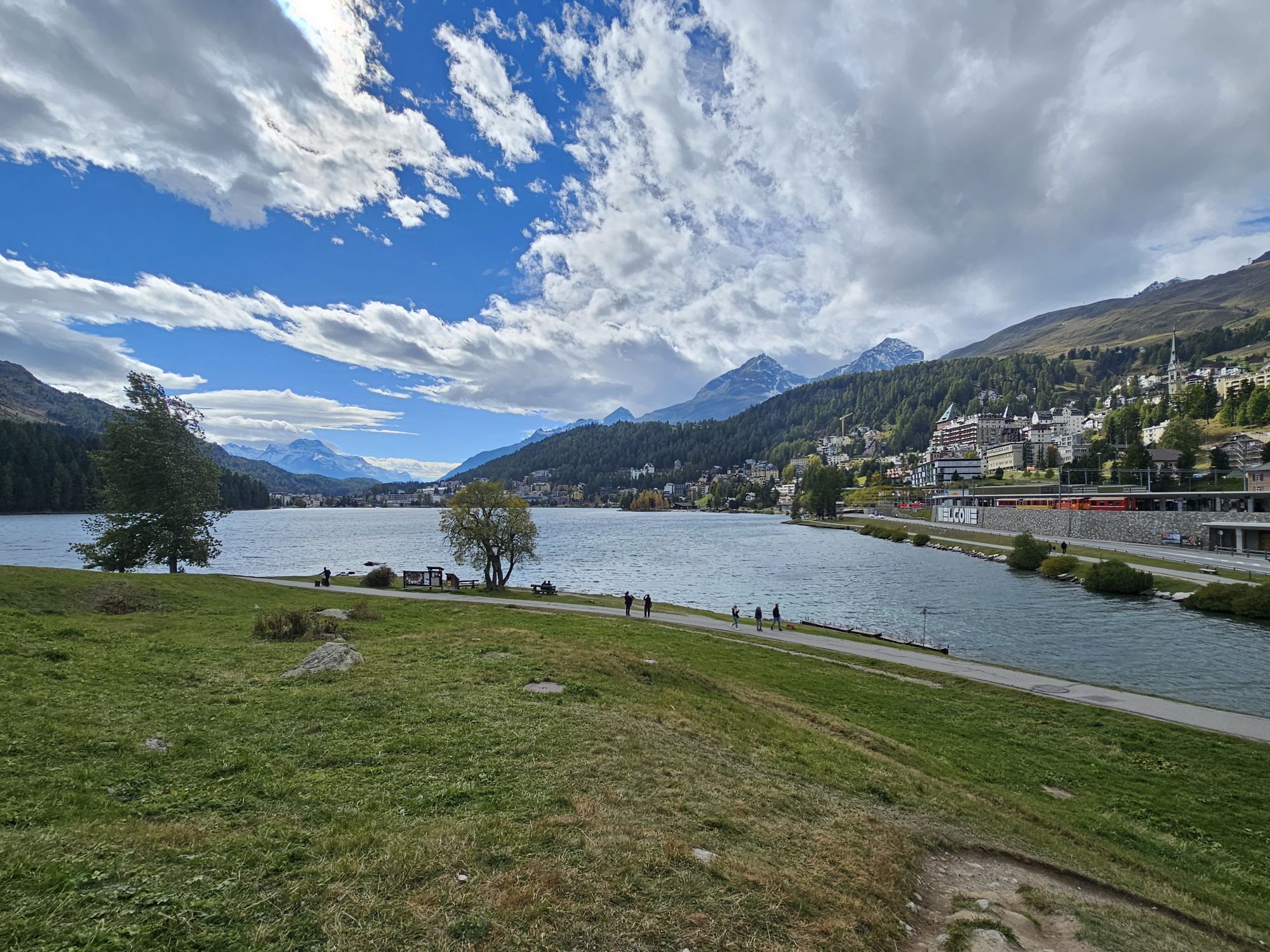
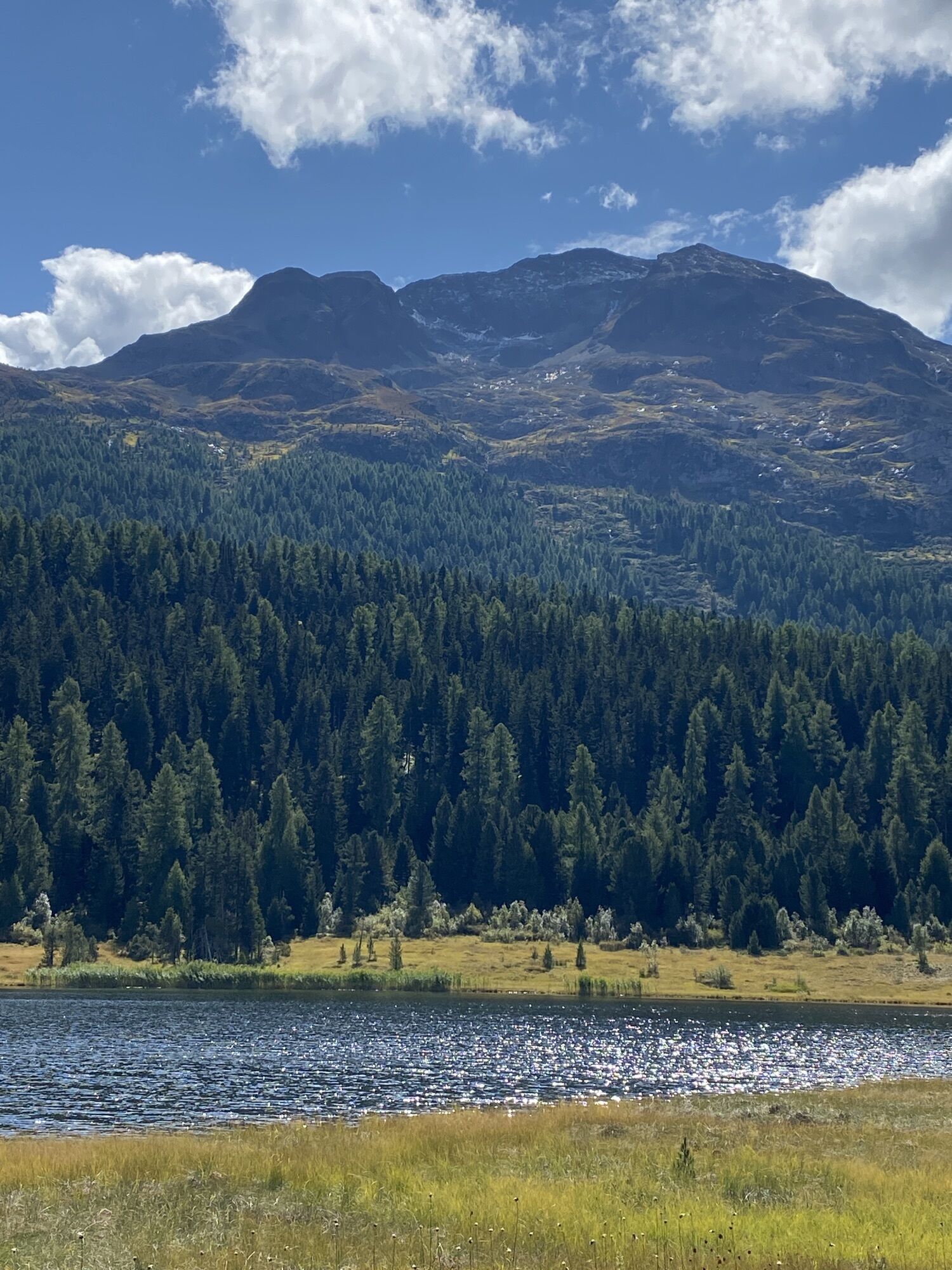
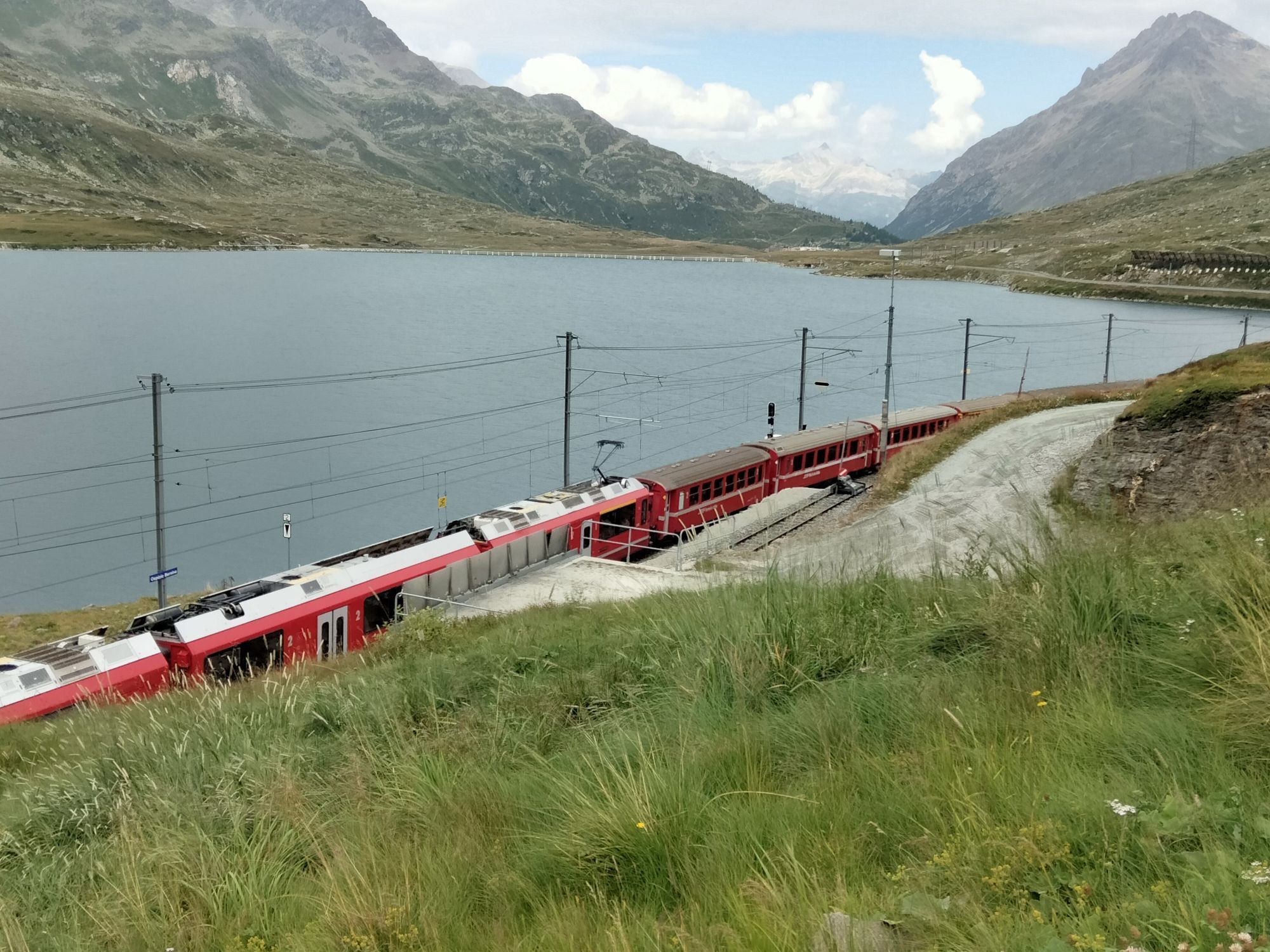

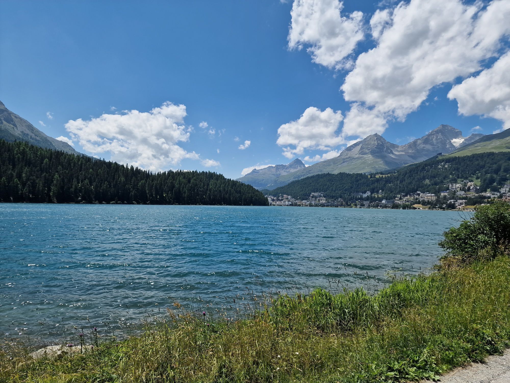
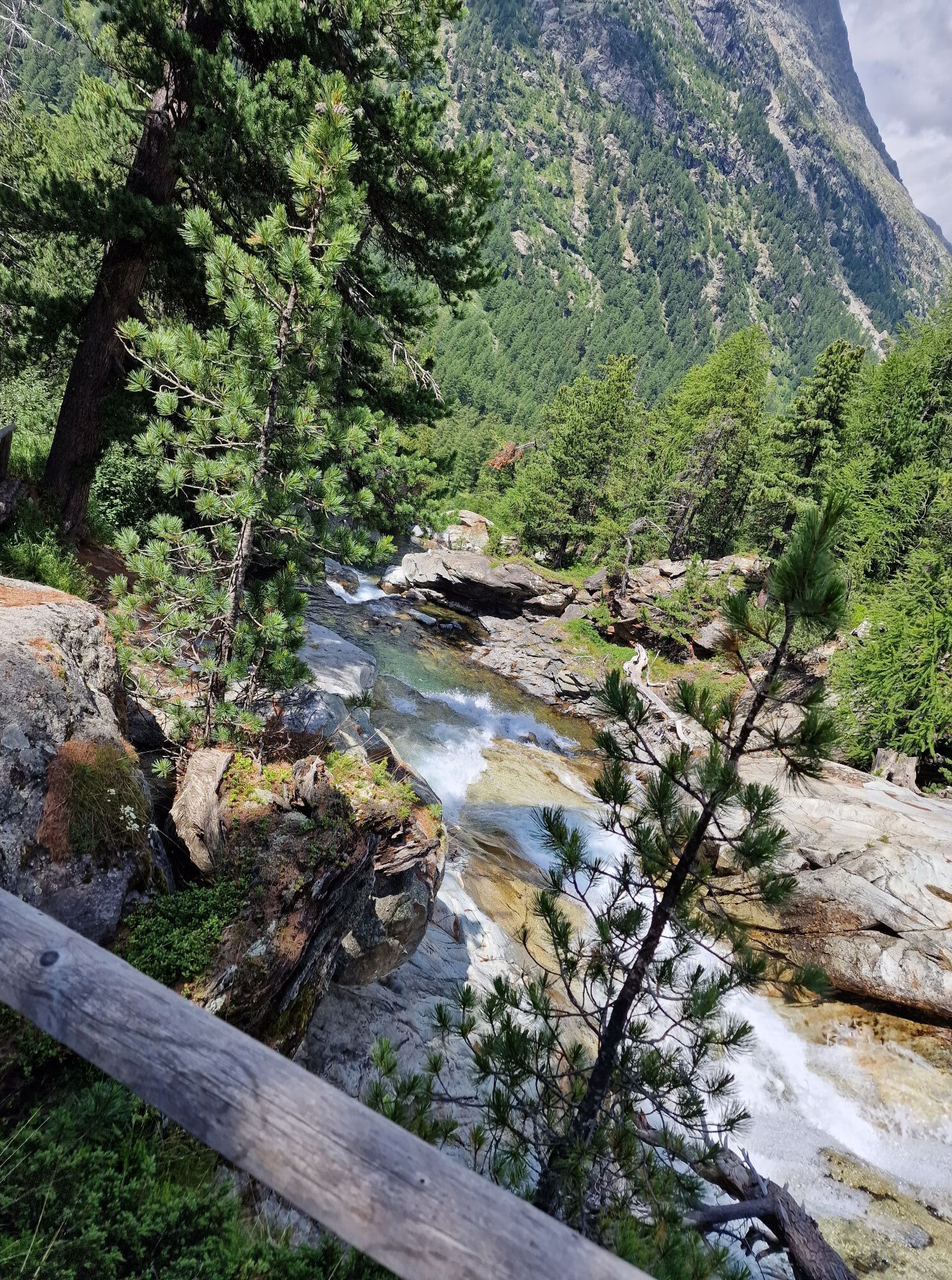
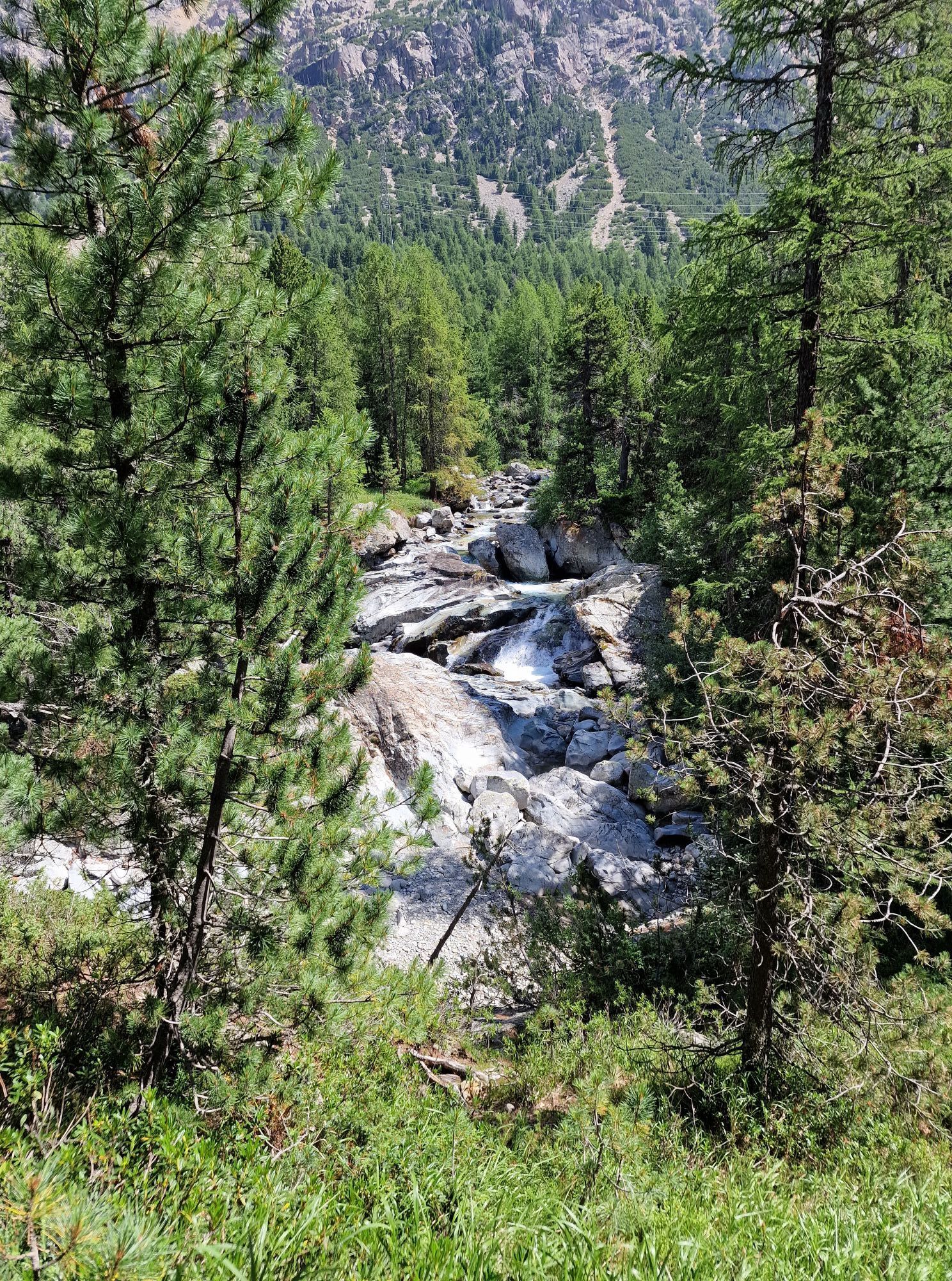
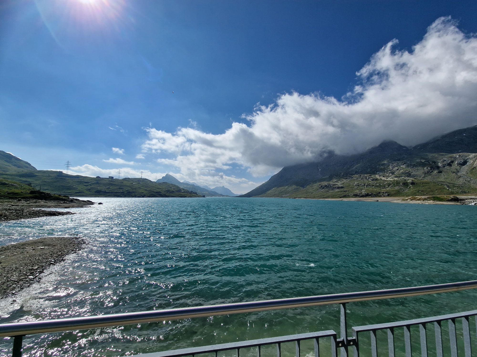
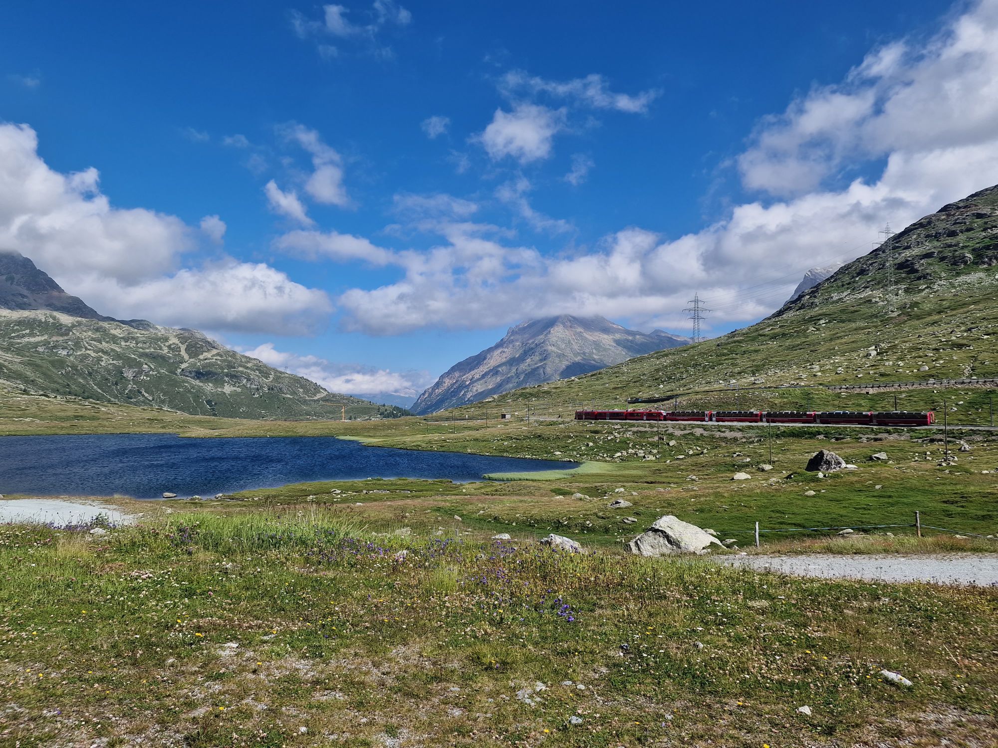
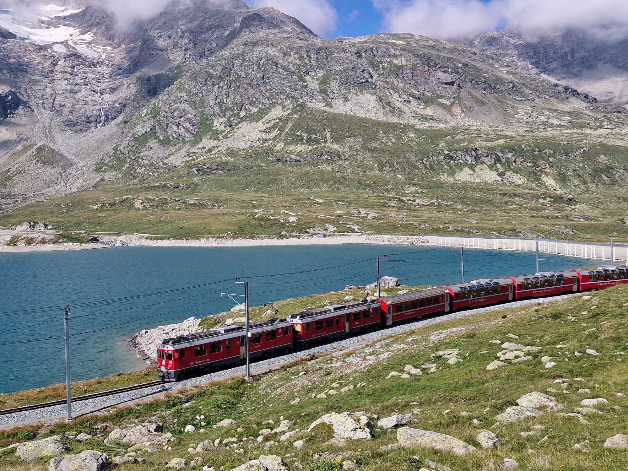
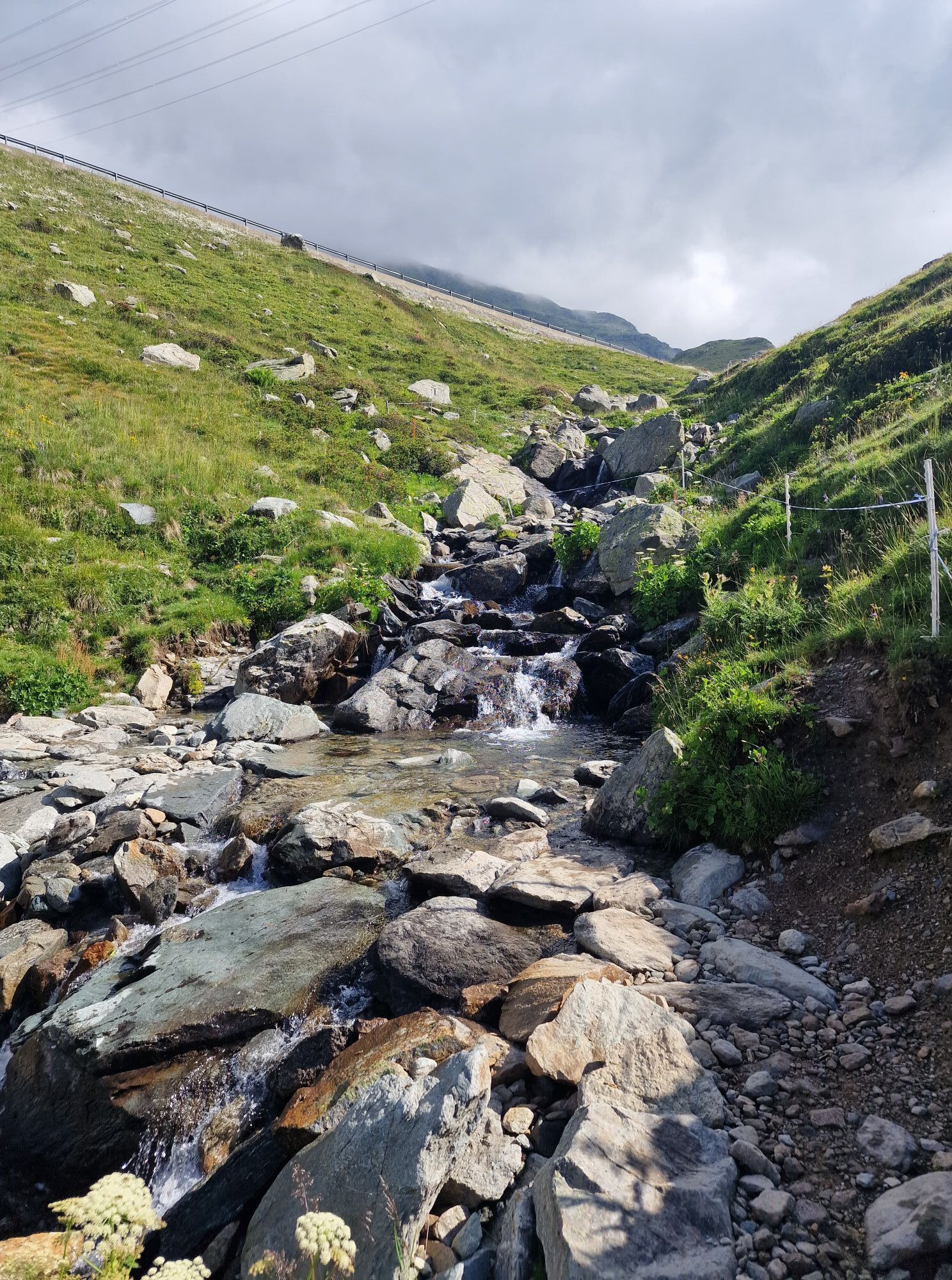
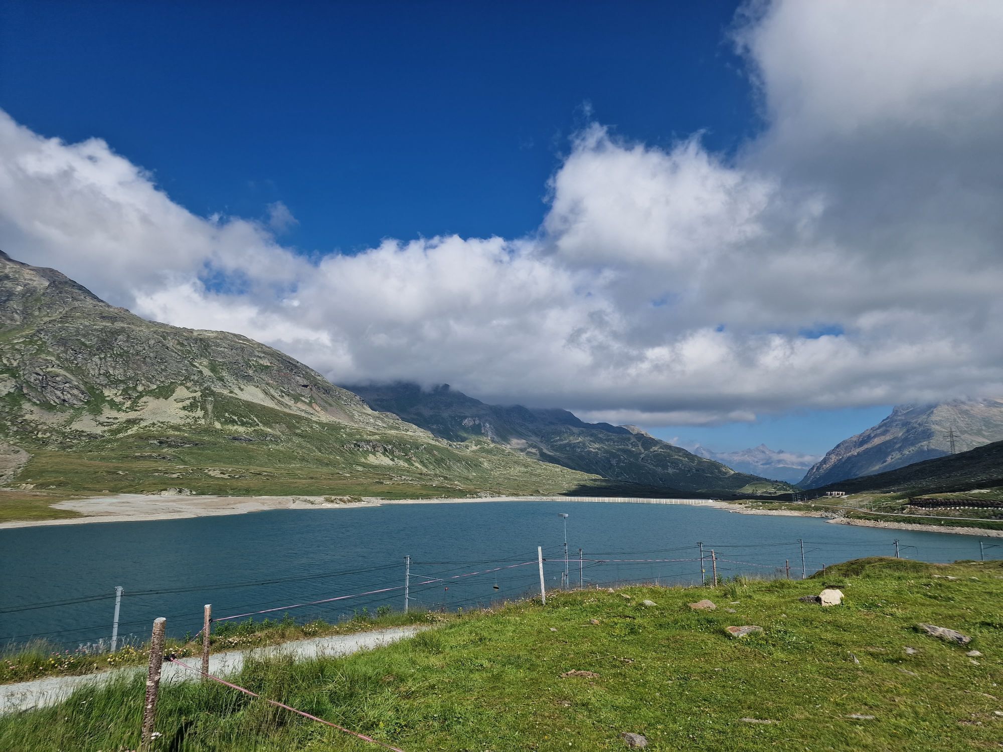
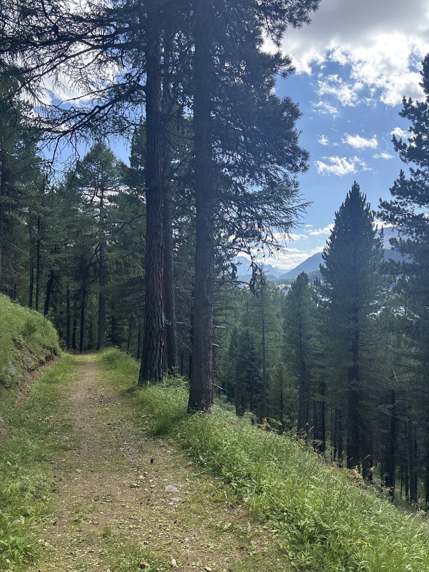
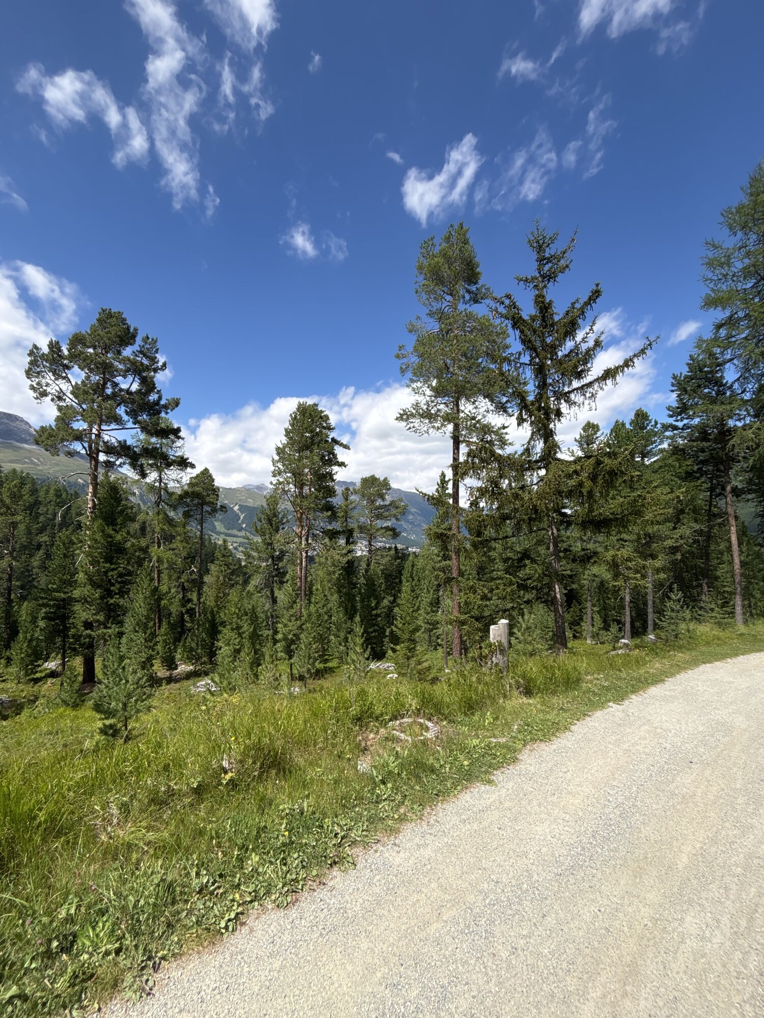
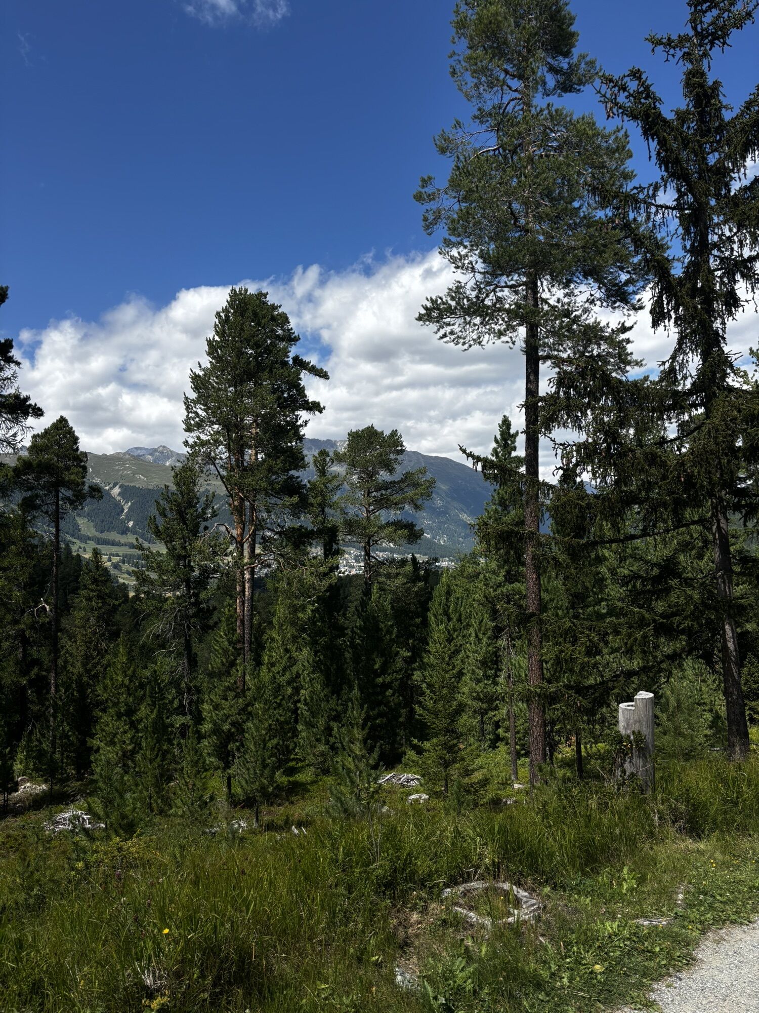
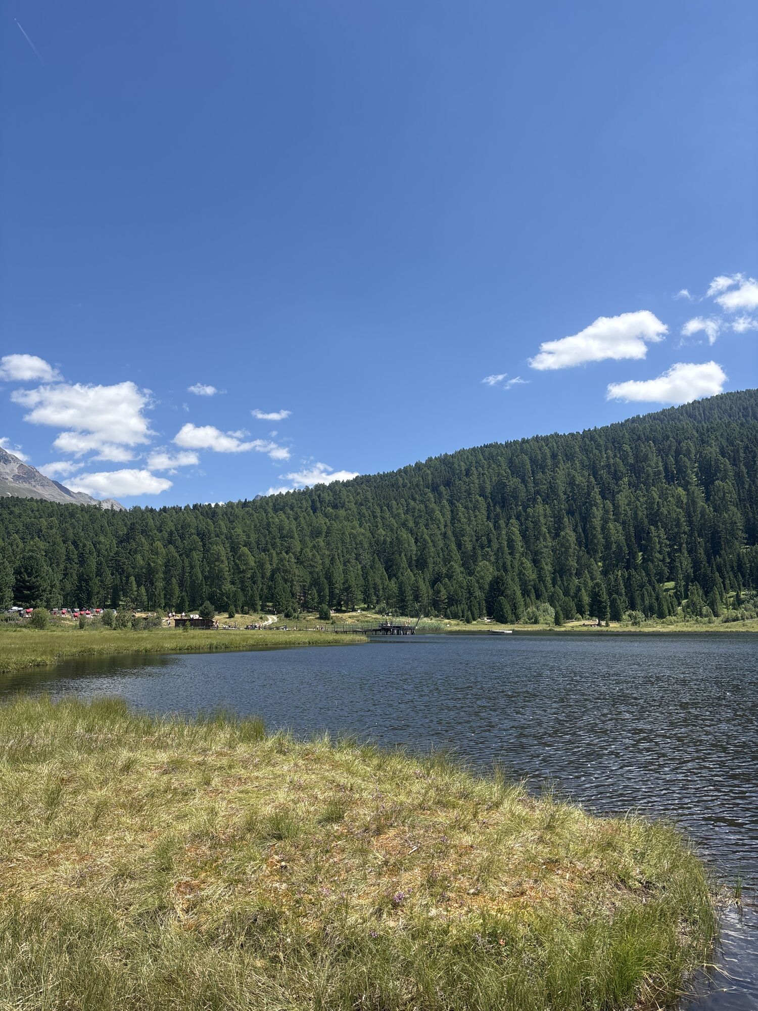
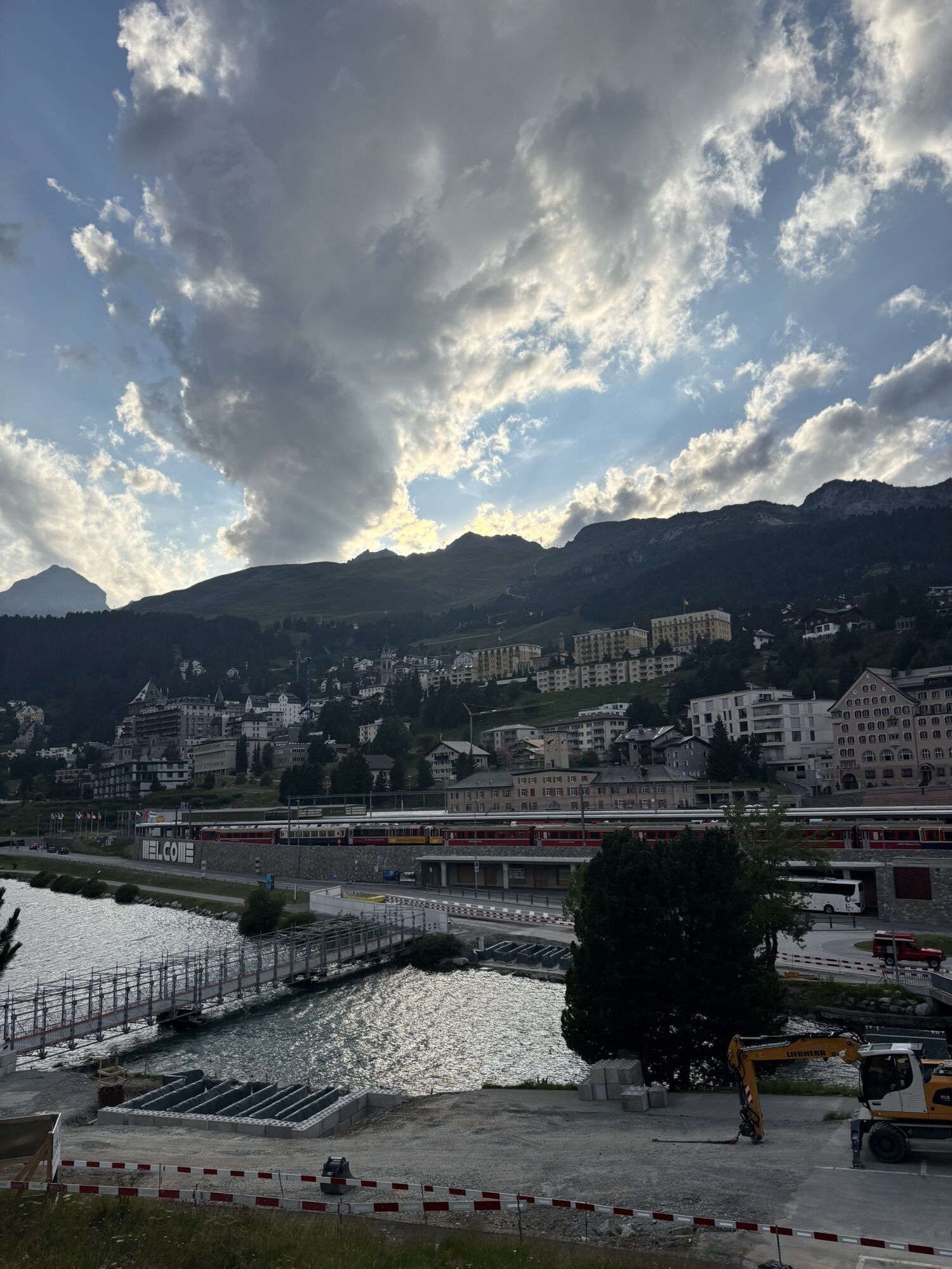
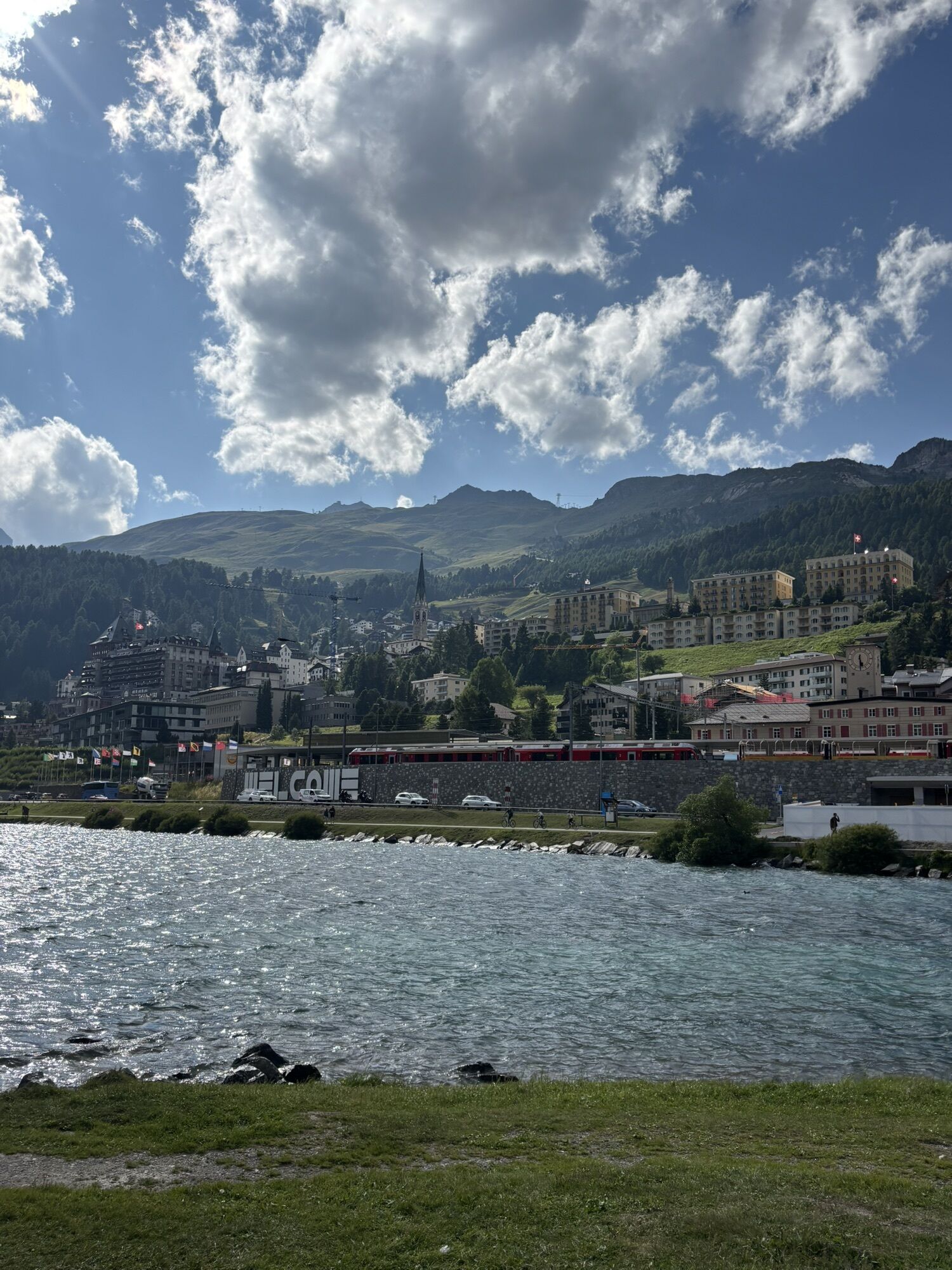
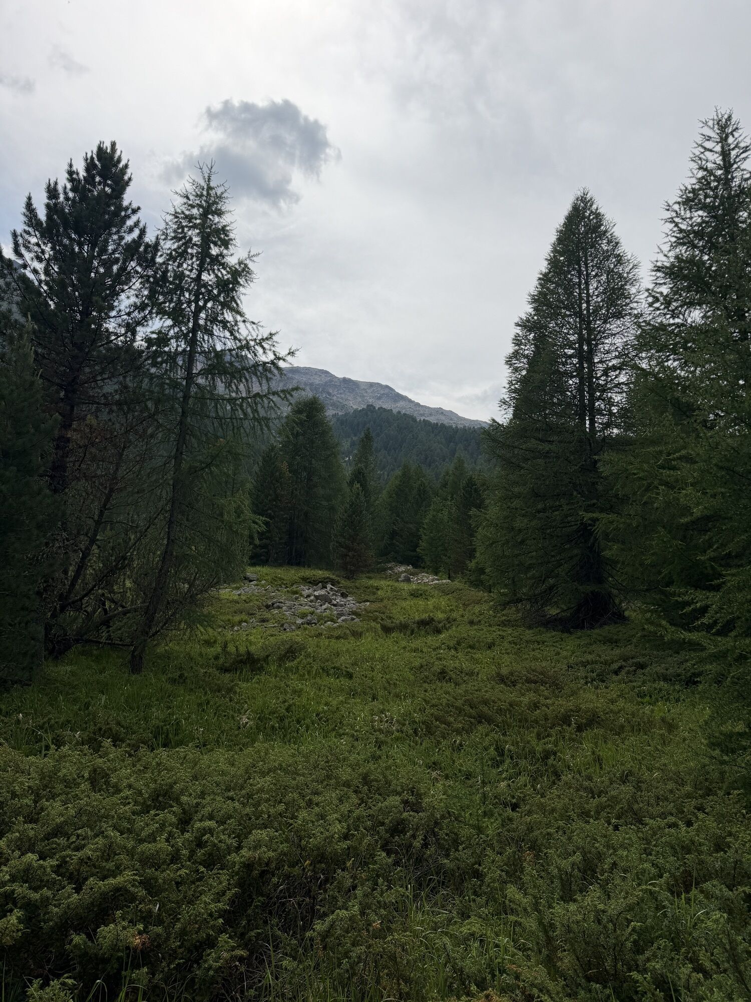
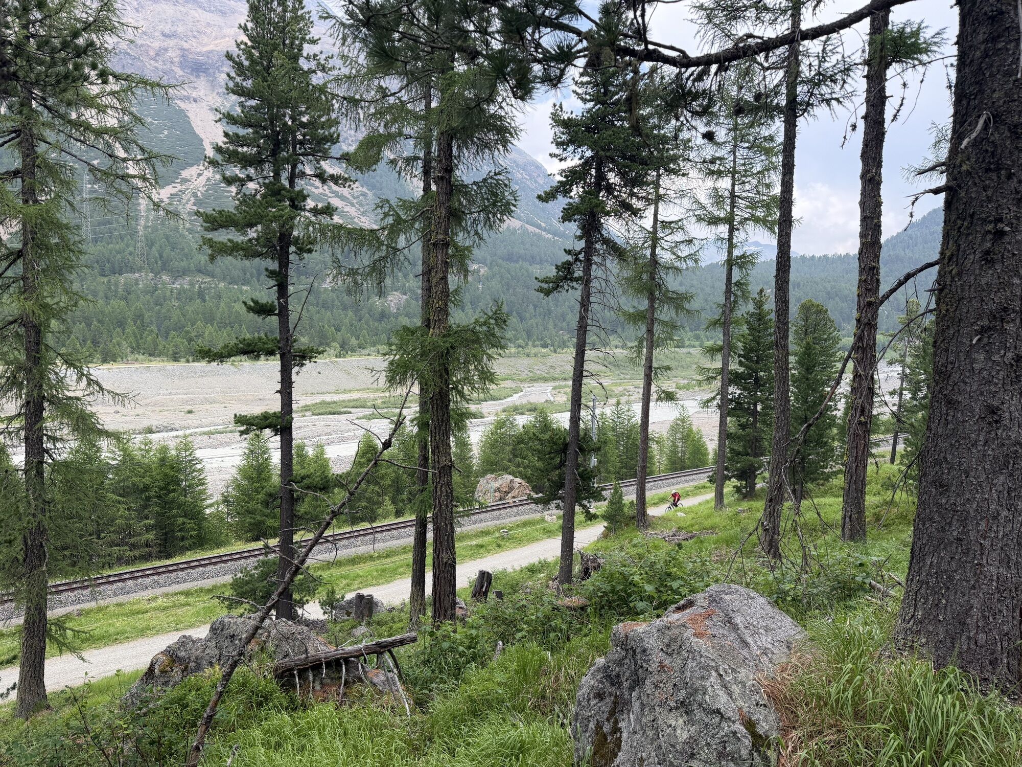
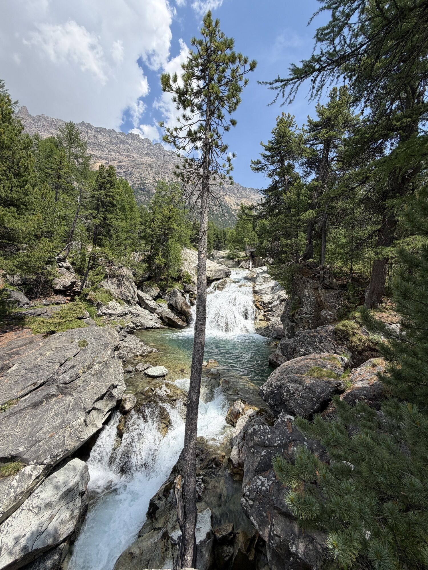
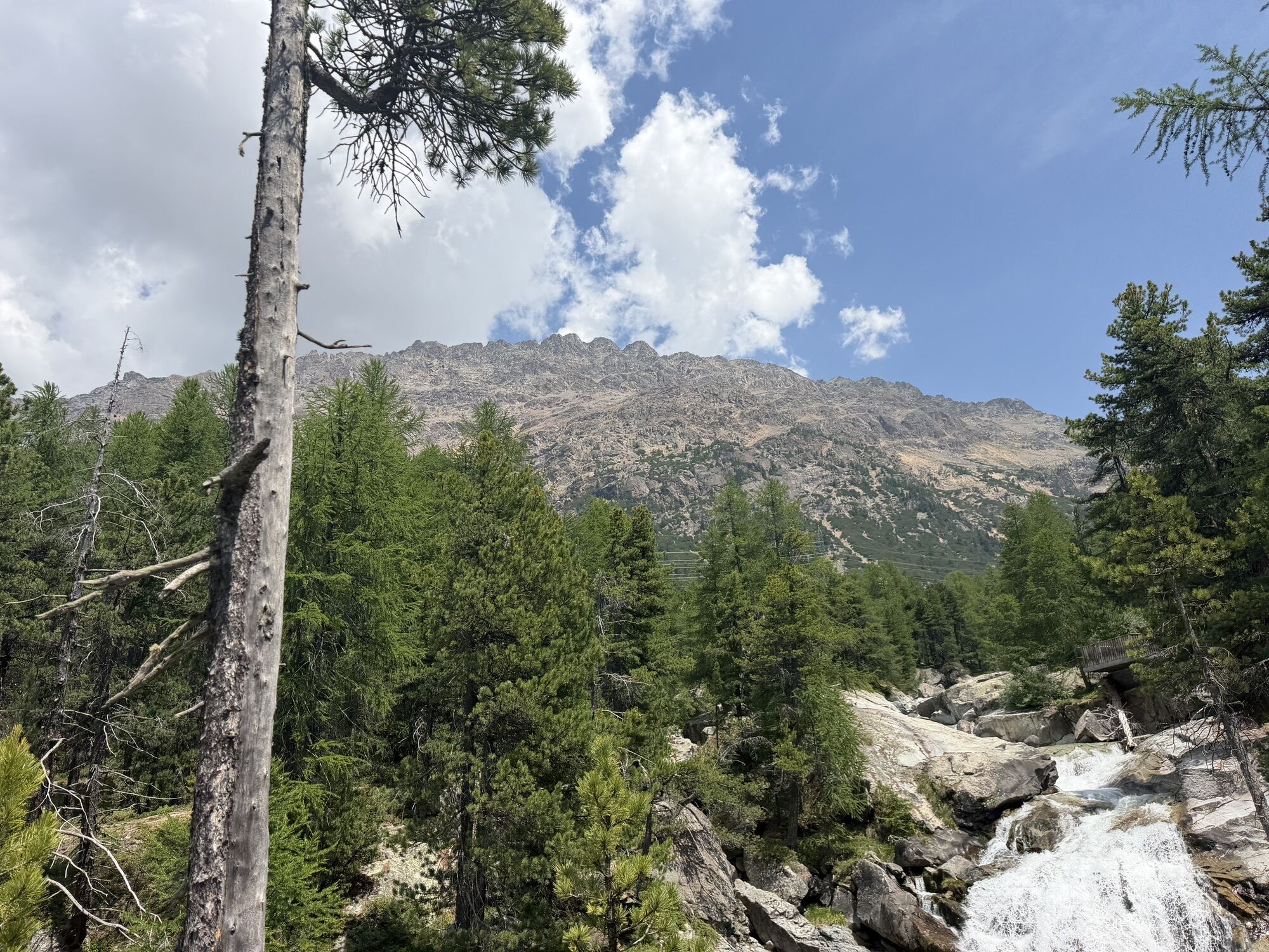

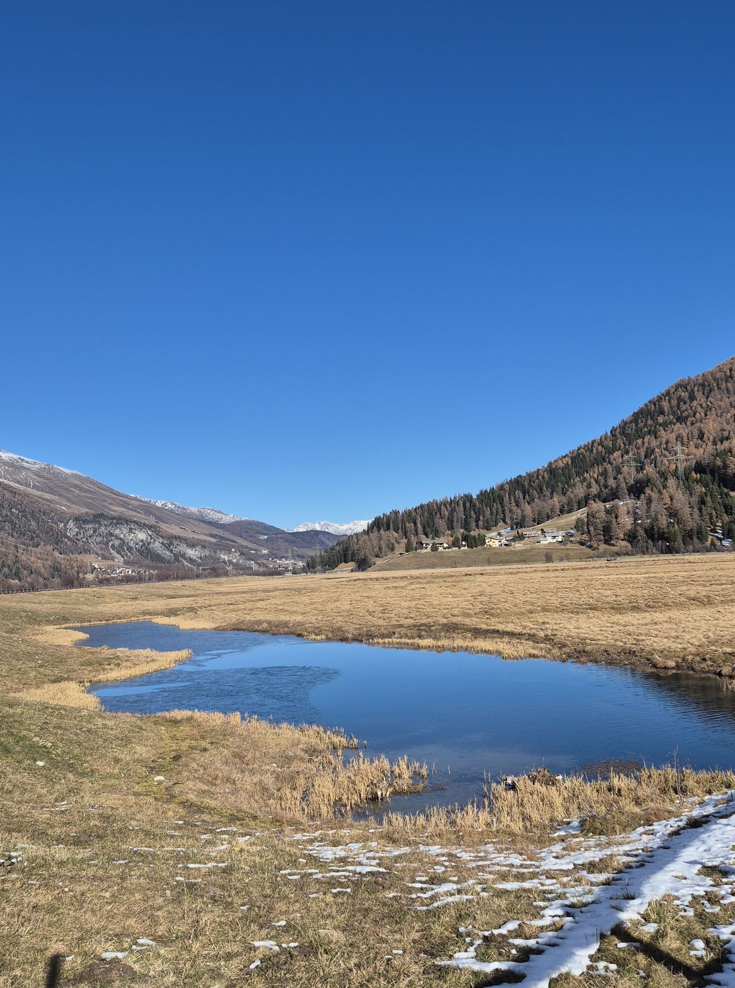
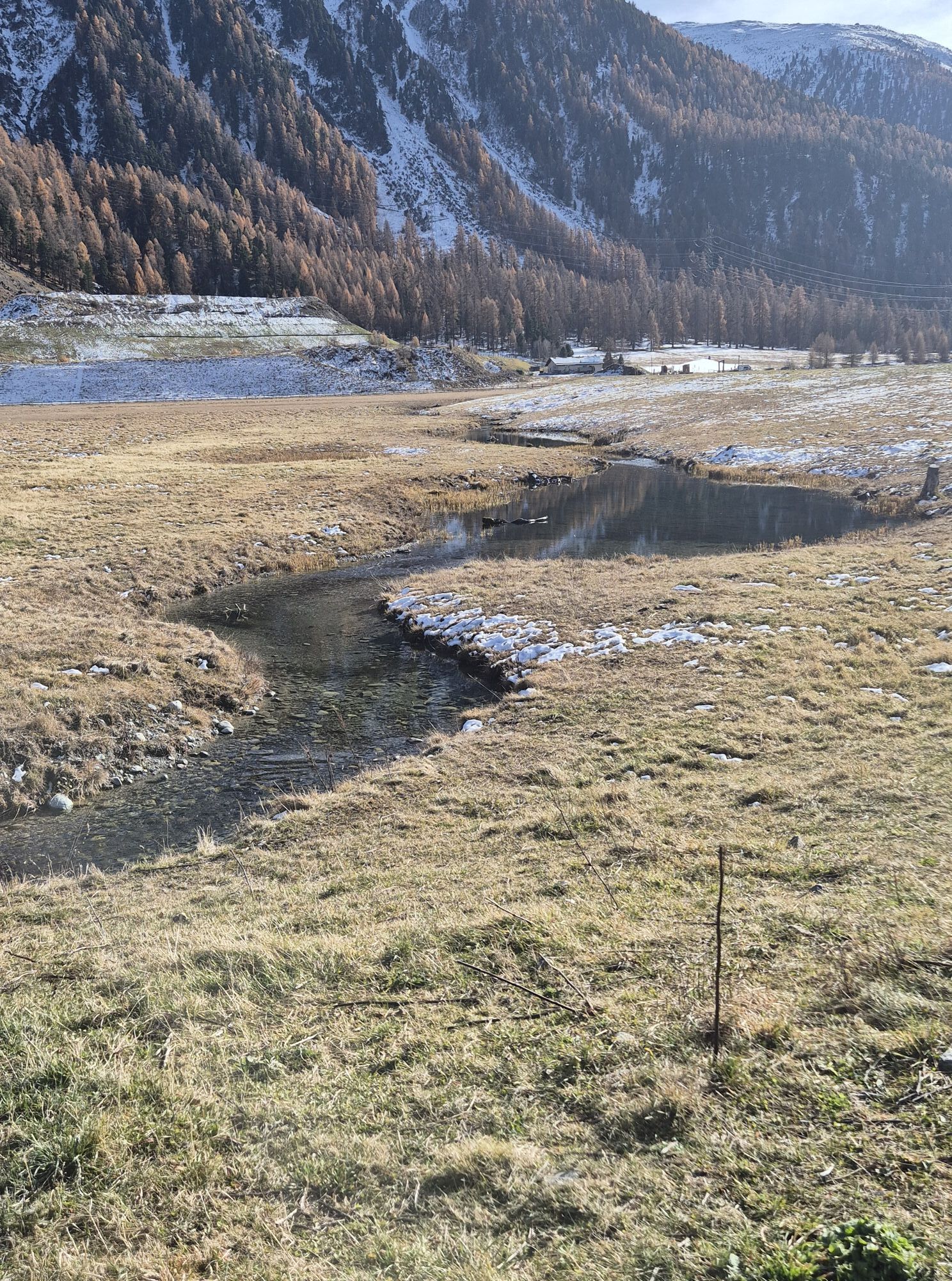
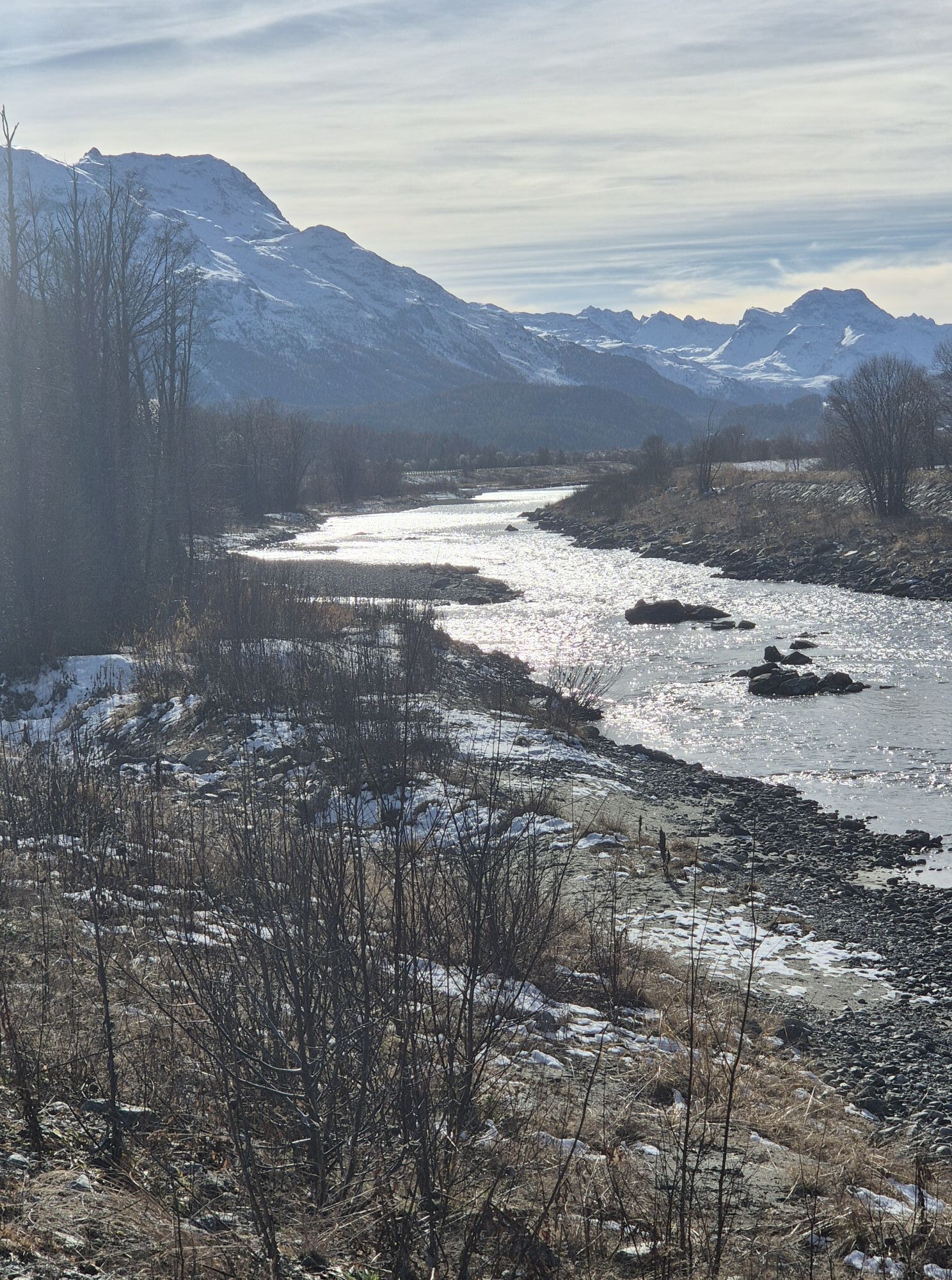
The route from Livigno to Forcola di Livigno (2316 m) runs on the new bike path as well as the mountain pass road and is ideal for warming up. Next, the route turns right off the pass road and follows...
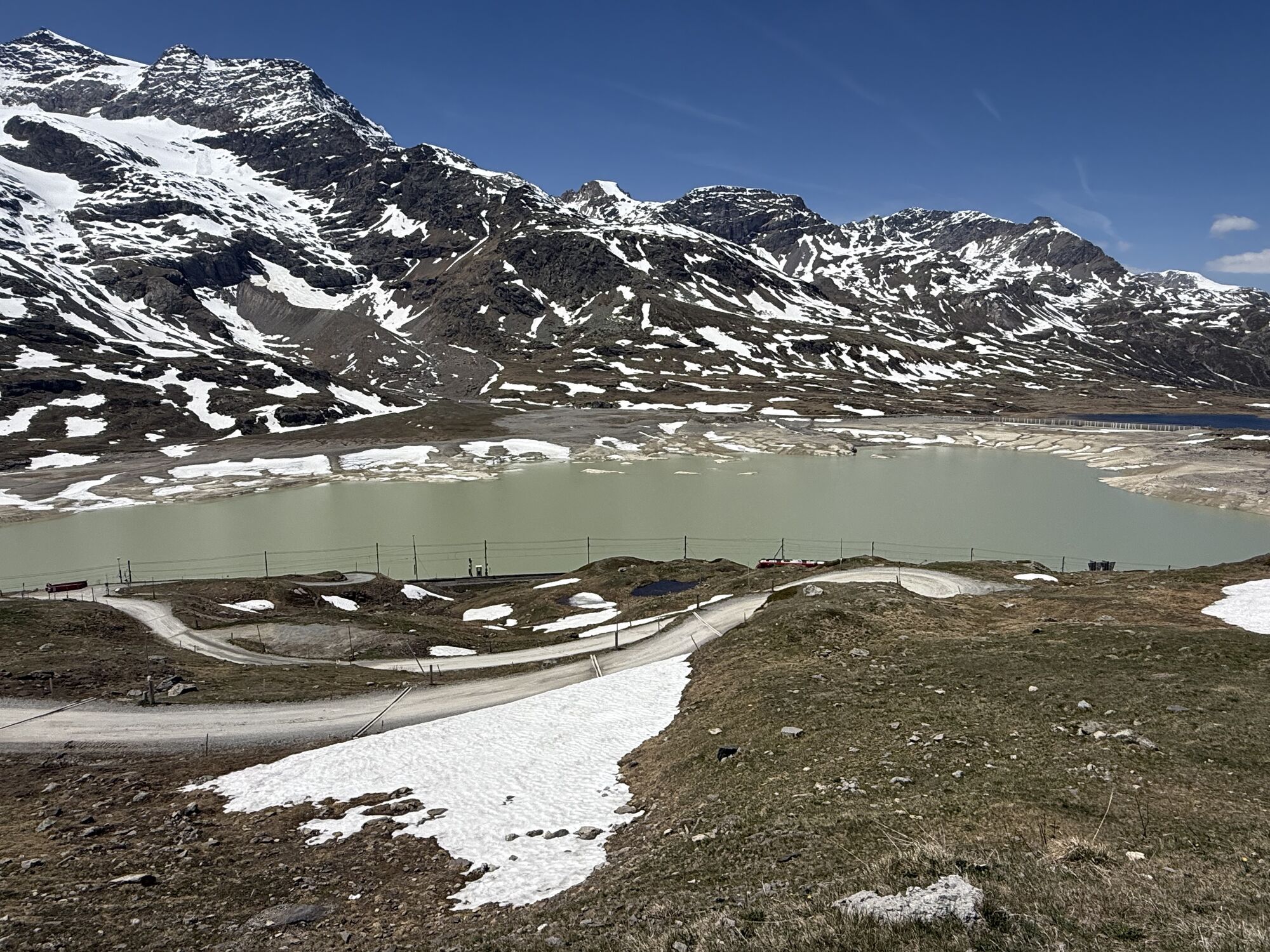
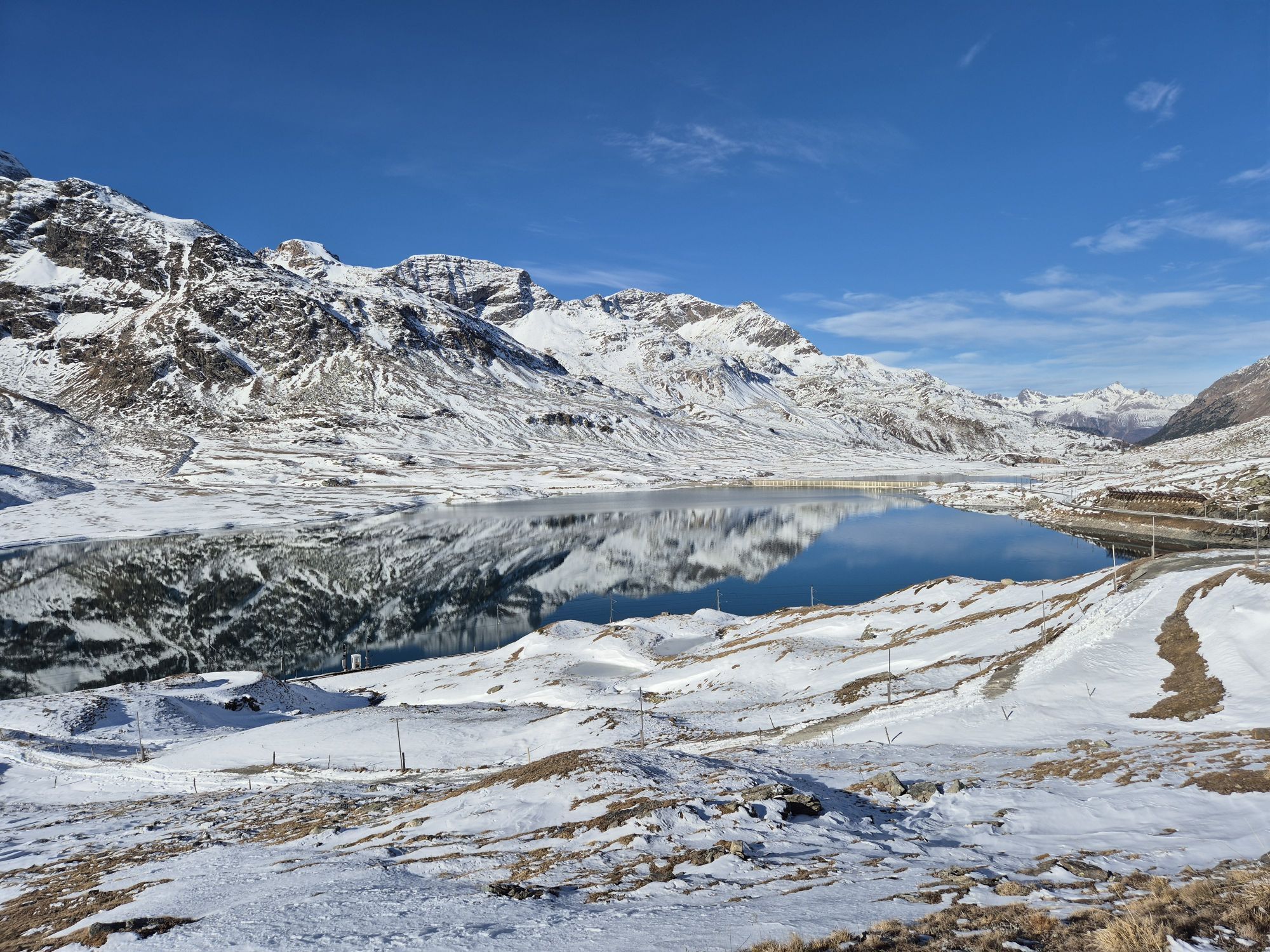
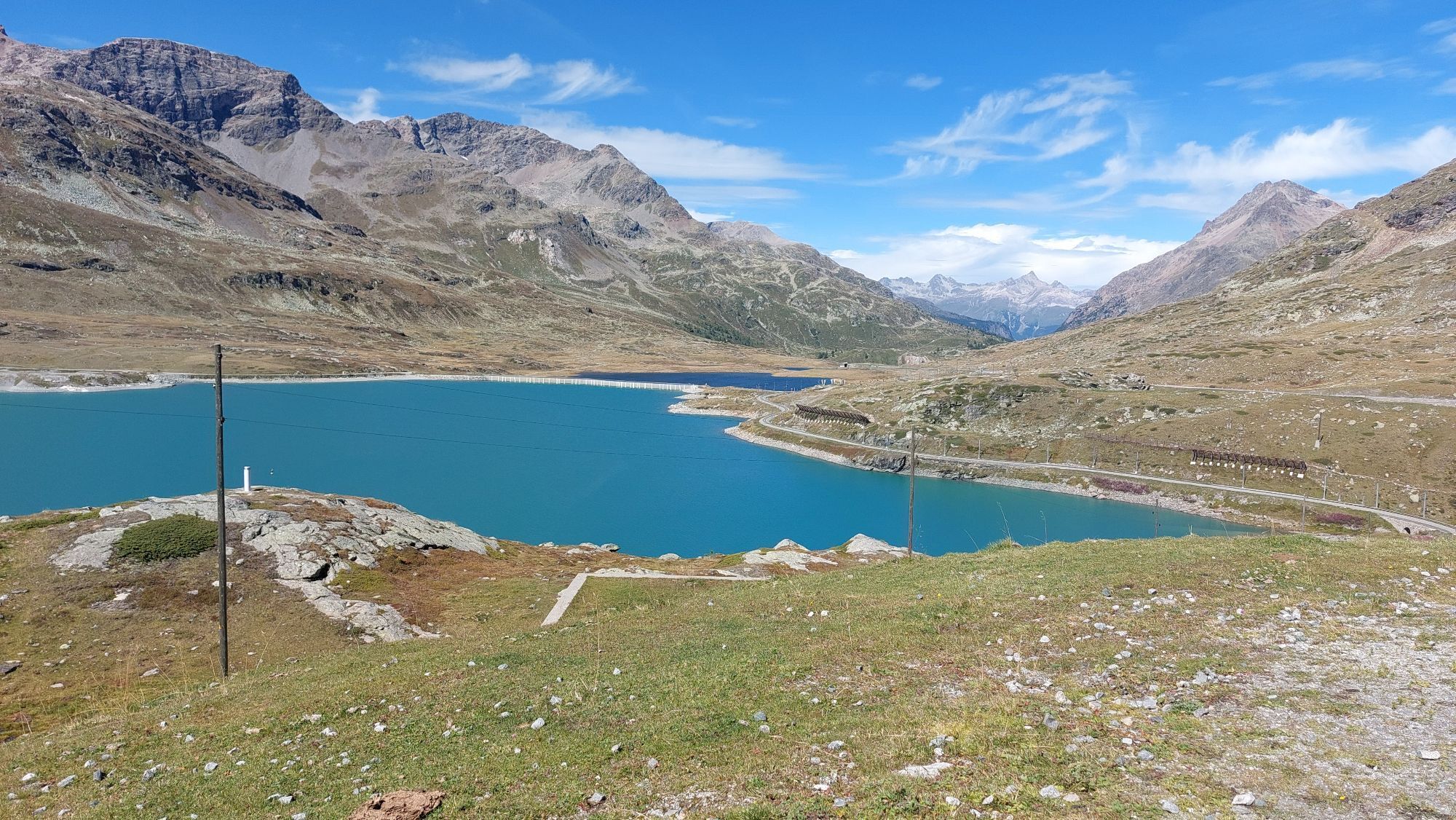
The route from Livigno to Forcola di Livigno (2316 m) runs on the new bike path as well as the mountain pass road and is ideal for warming up. Next, the route turns right off the pass road and follows the attractive «Val Minur Marmotta Trail», which connects Forcola di Livigno with Forcola Minor, reaching its highest point at Motta Bianca (2561 m), and continues to Ospizio Bernina. From there it leads towards Pontresina, where a detour around Lake St. Moritz follows. Finally, the route goes via Celerina, Samedan Airport to the stage destination Zuoz.


Livigno, centro towards Forcola di Livigno (2316 m)
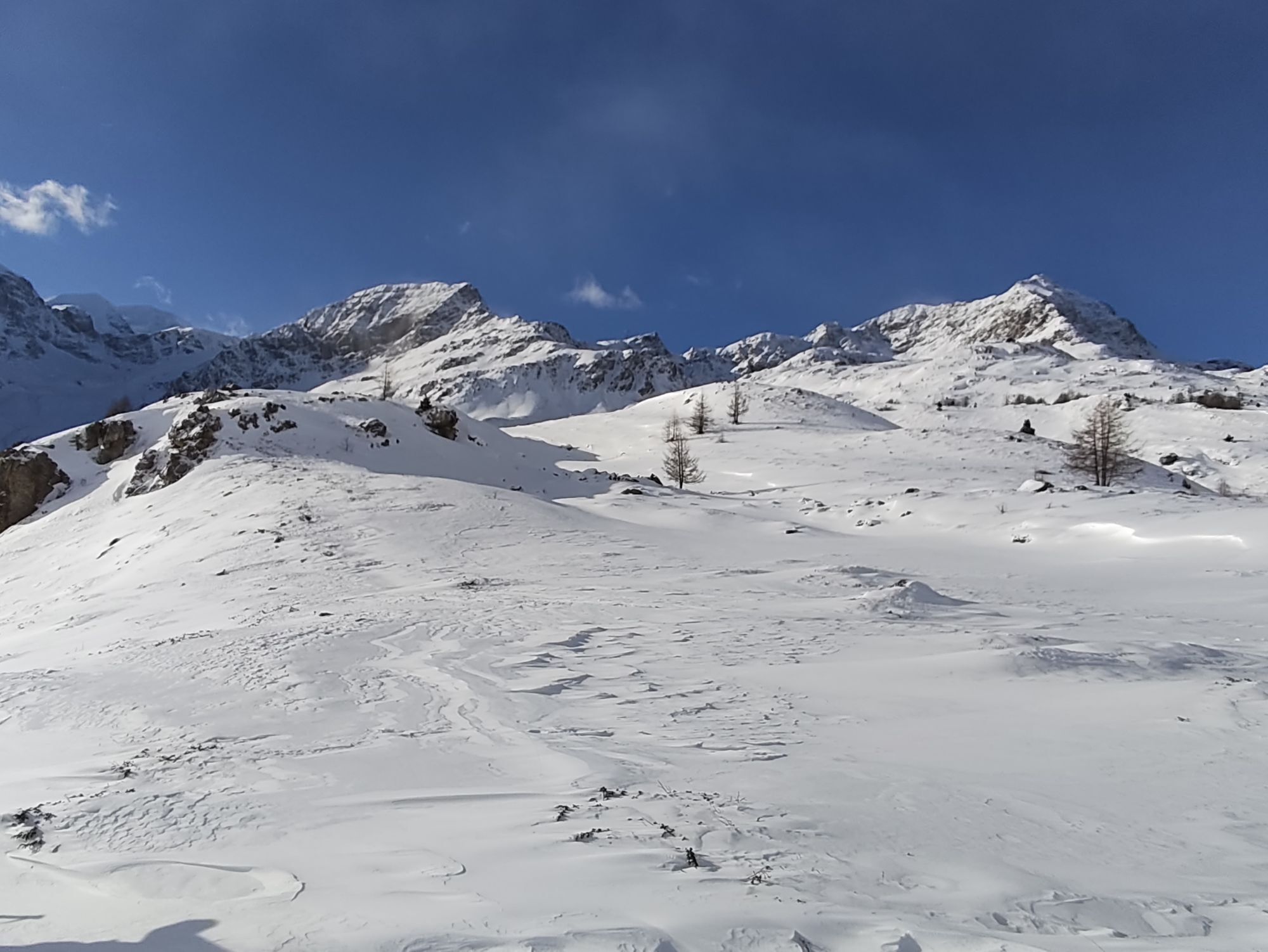
At the point «Baitel del Gras degli Agnelli» turn right to the viewpoint «La Stretta» (2476 m)
Singletrail to Alp la Stretta (2427 m)
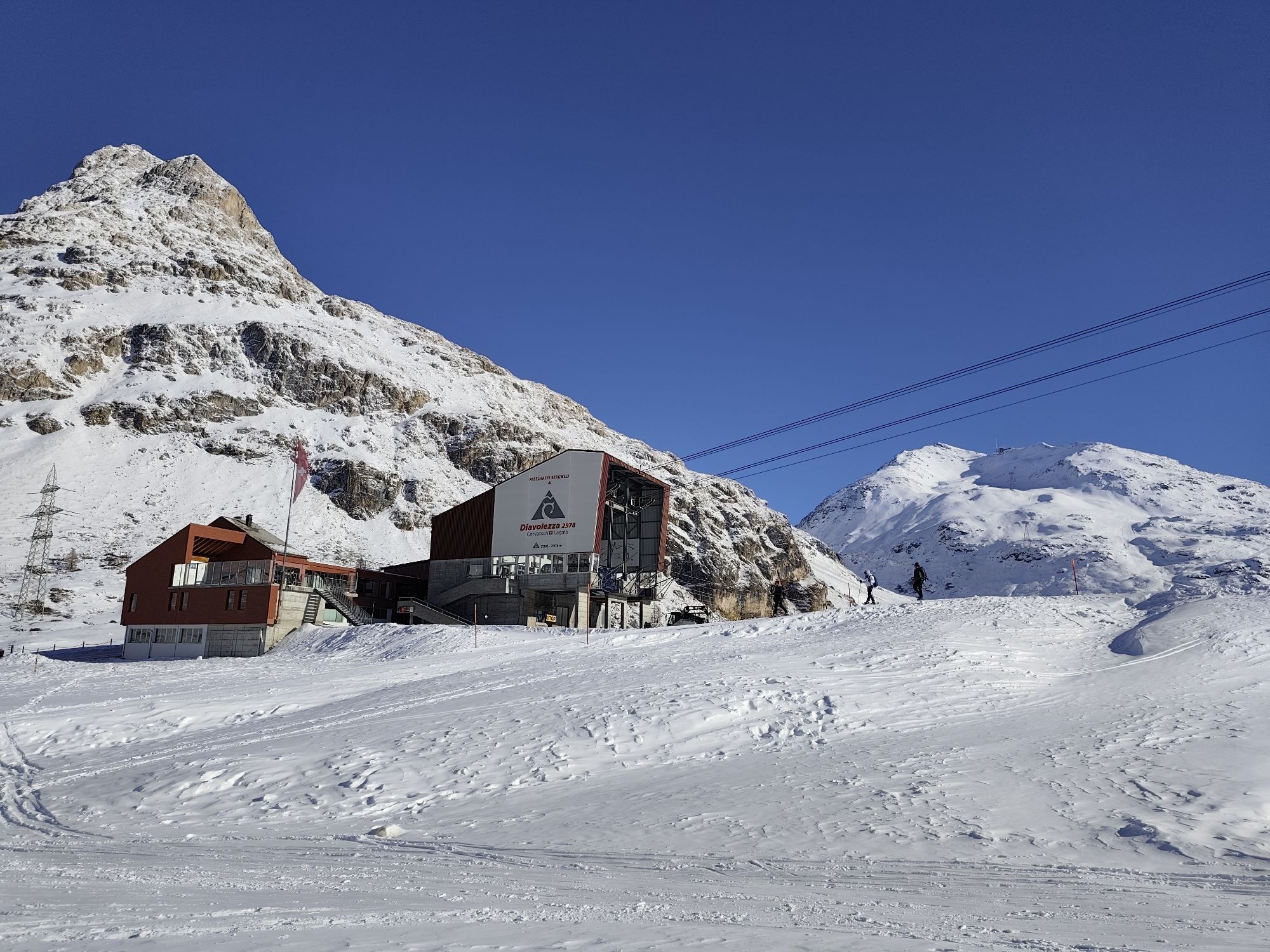
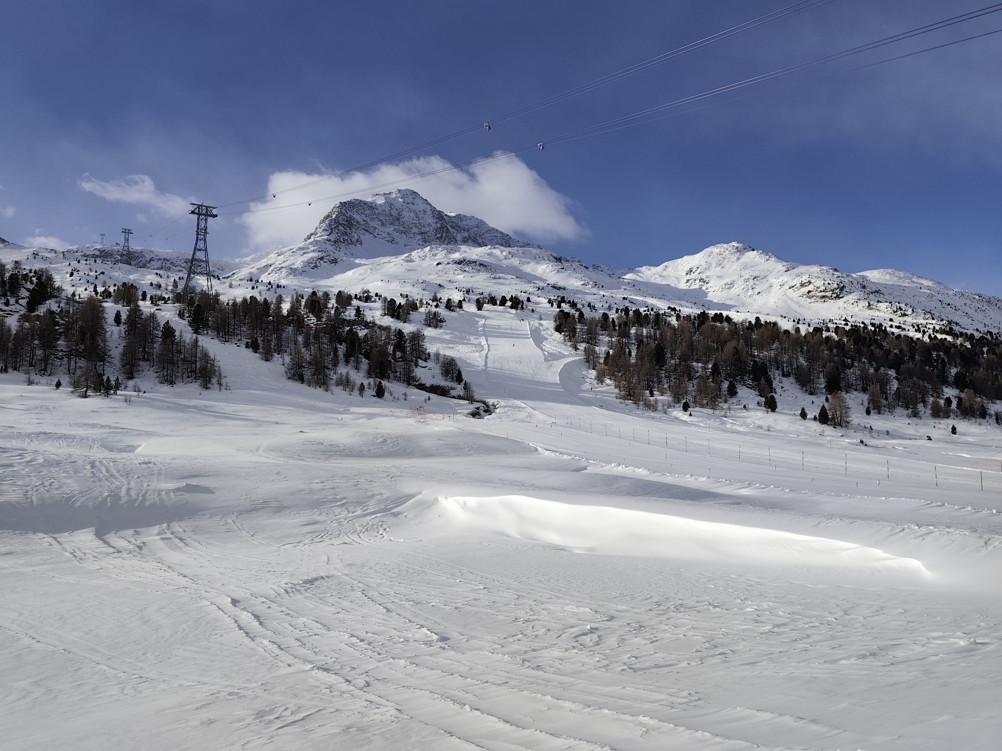
Alpine road to the parking lot of the Diavolezza cable car (2093 m)
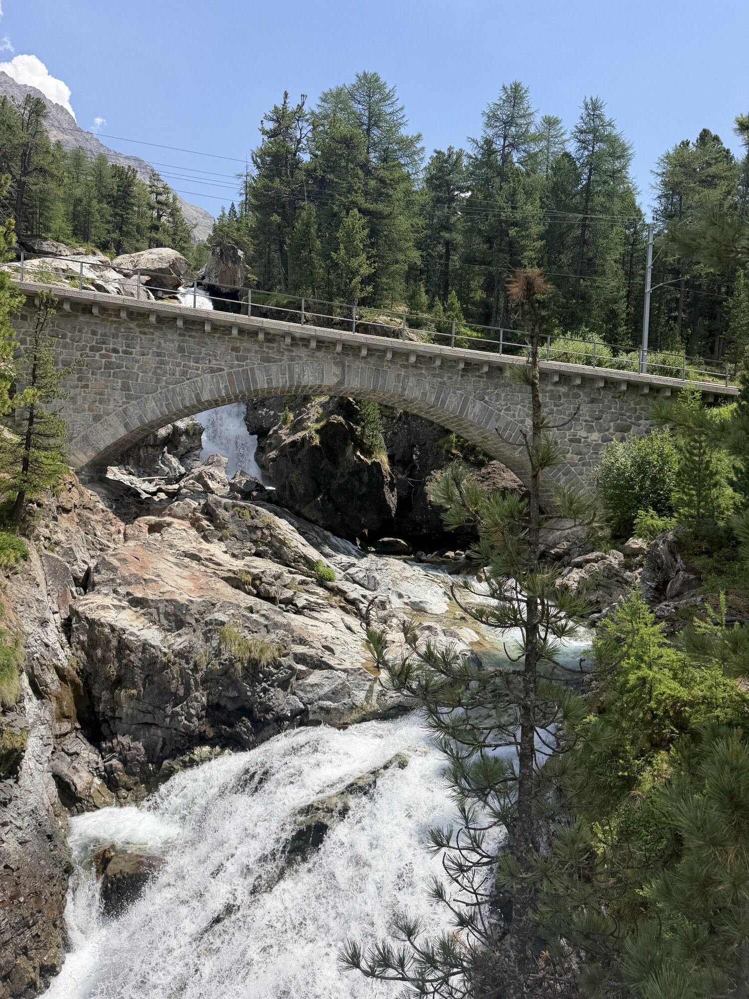
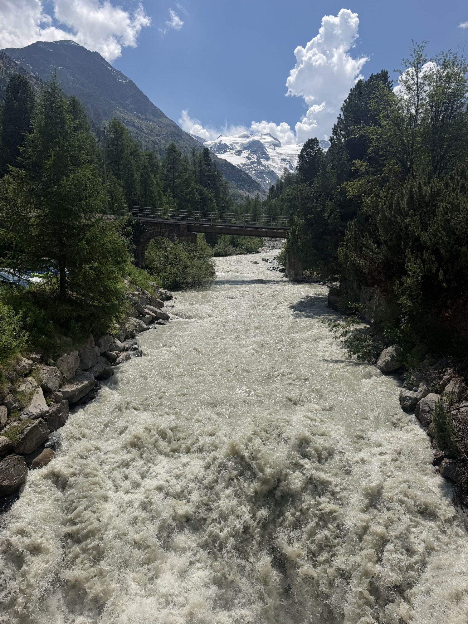
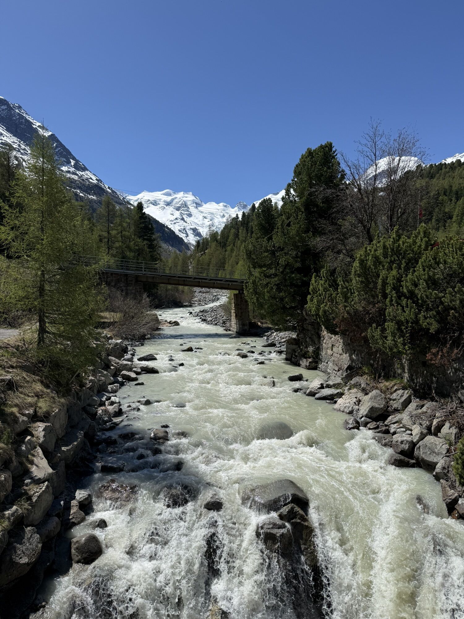
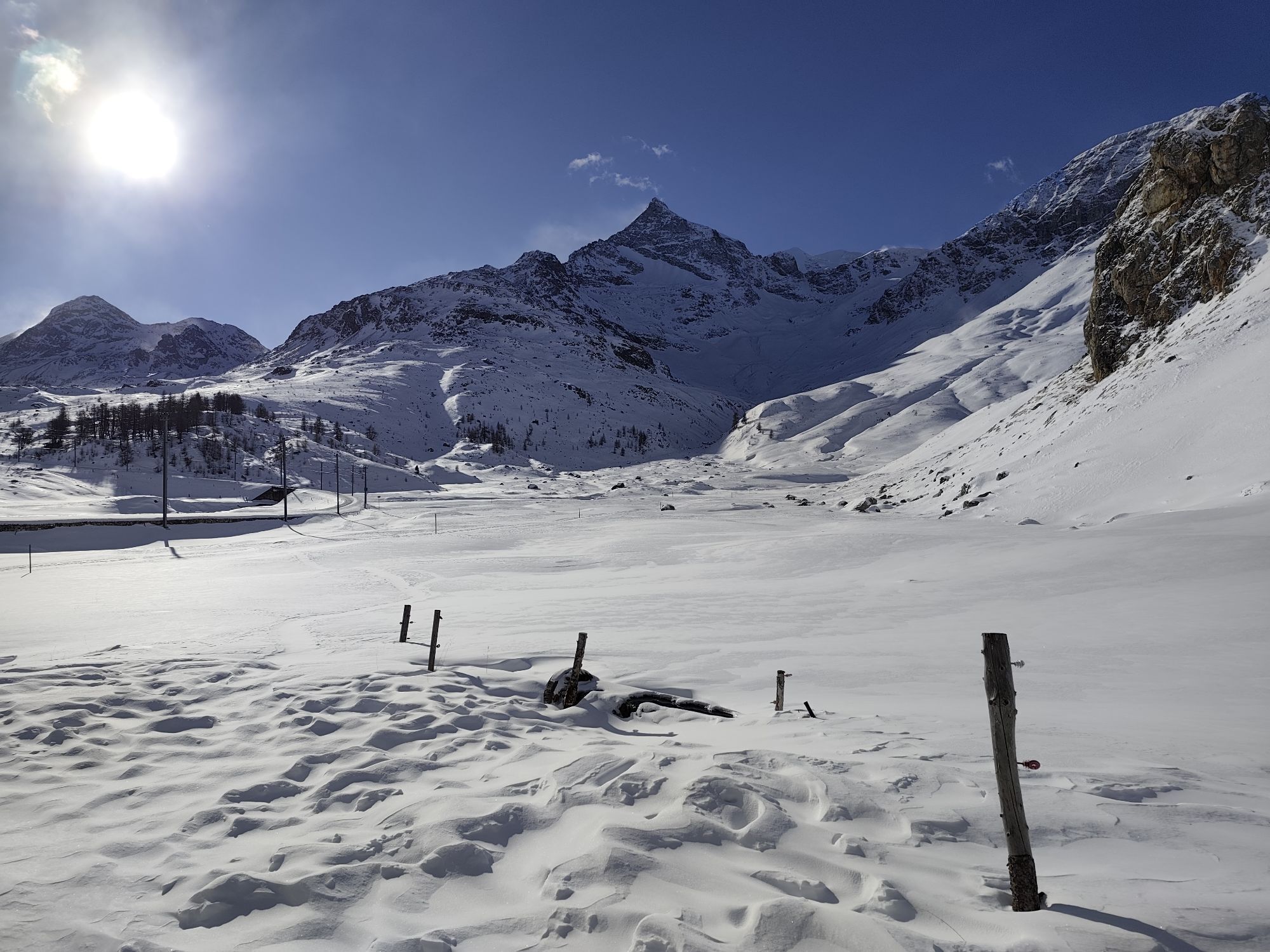
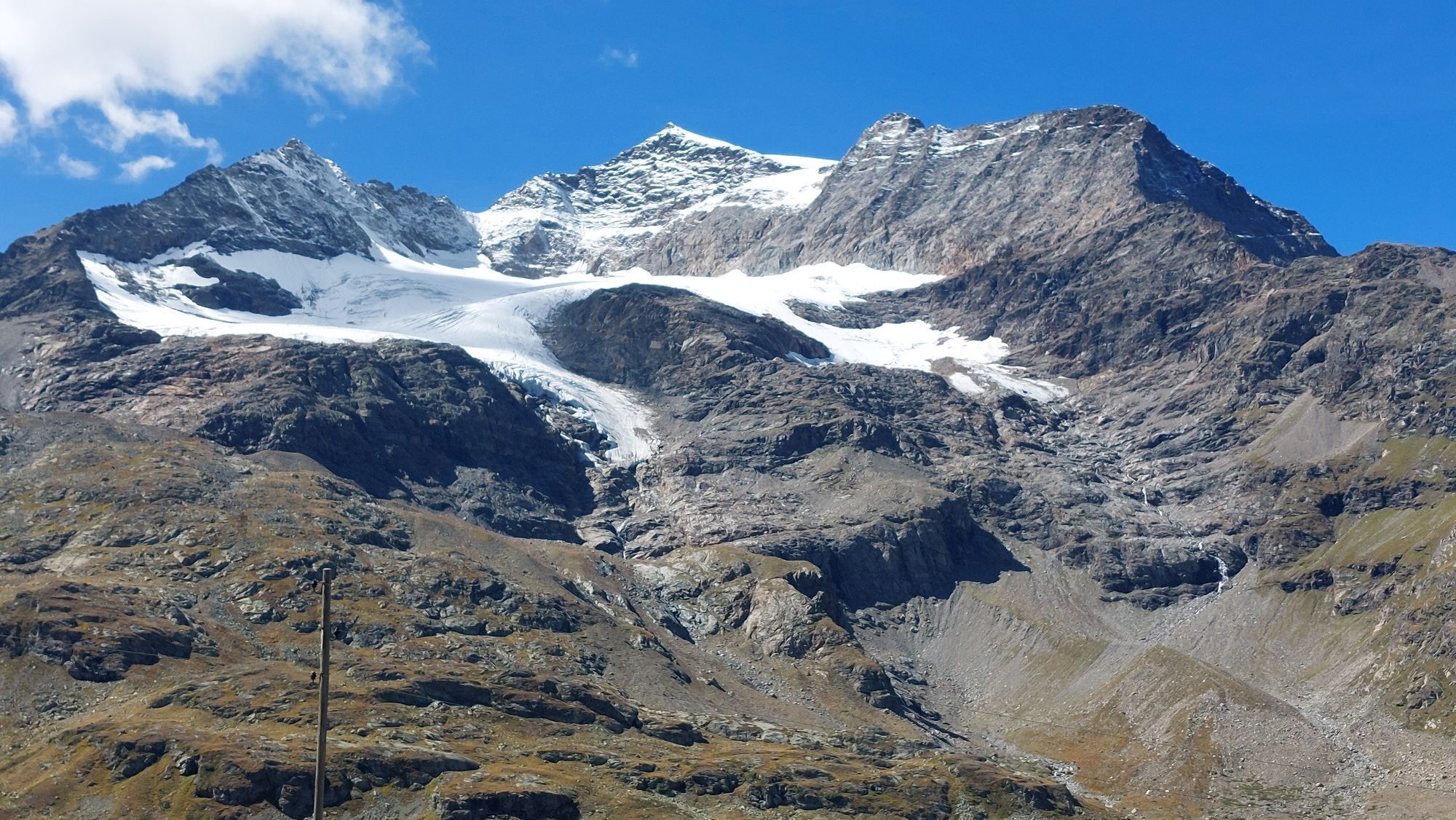
Continue towards Pontresina (1805 m), past the Morteratsch Glacier
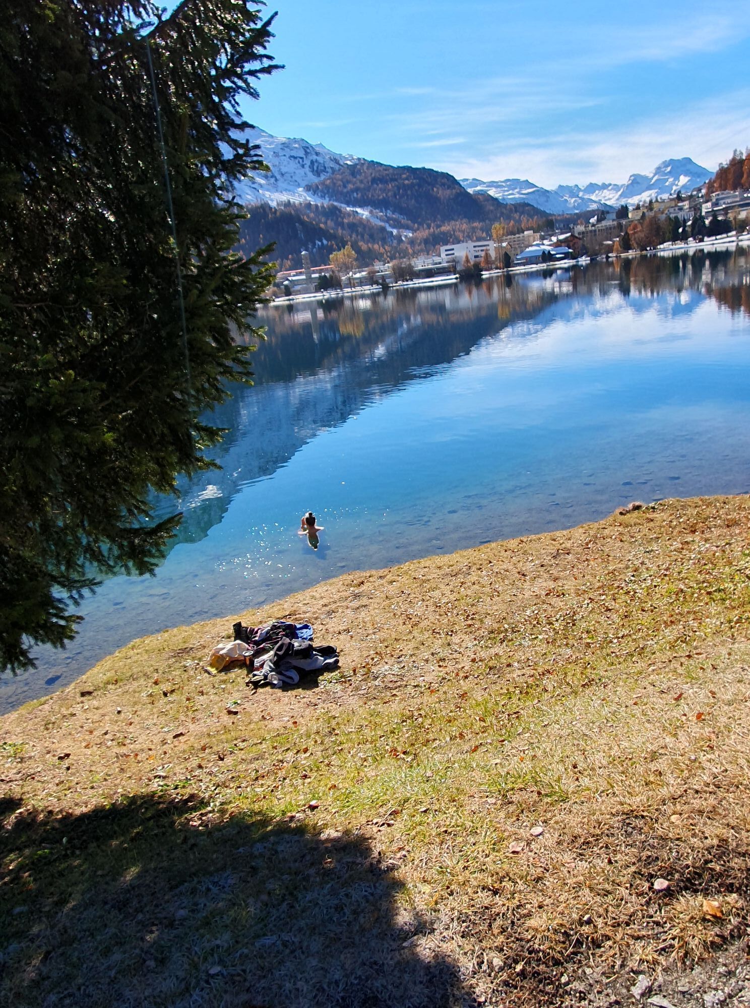
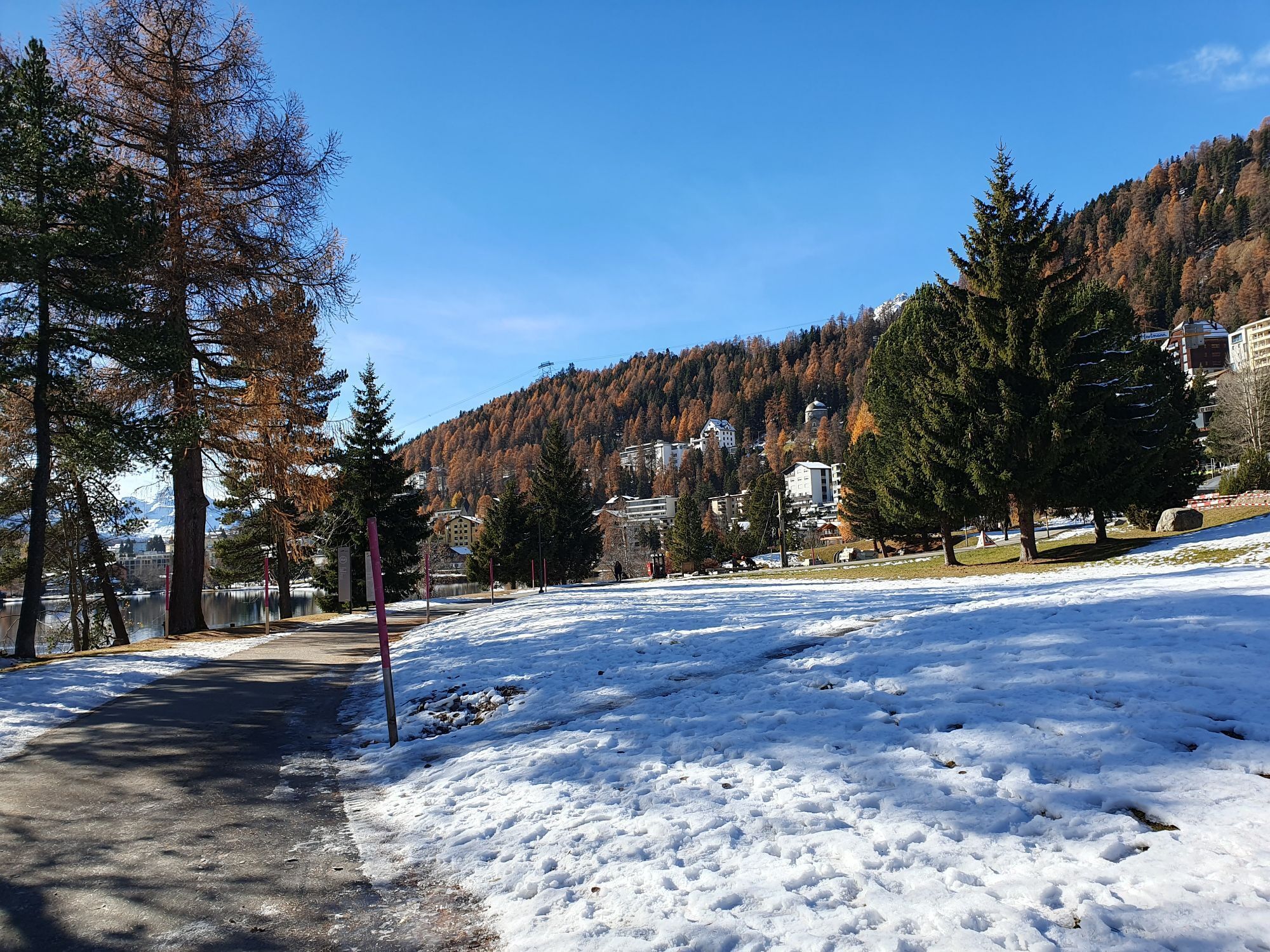
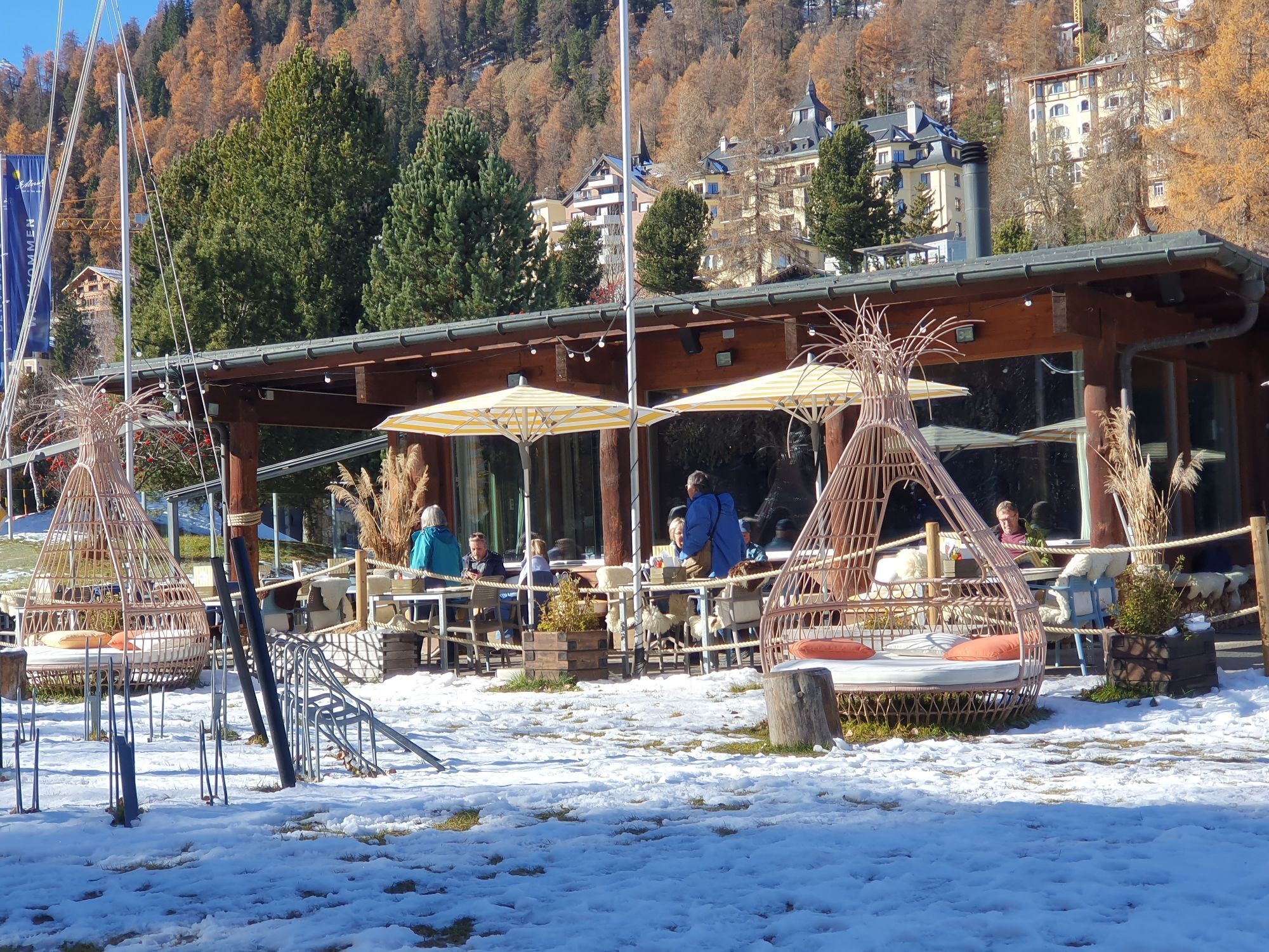
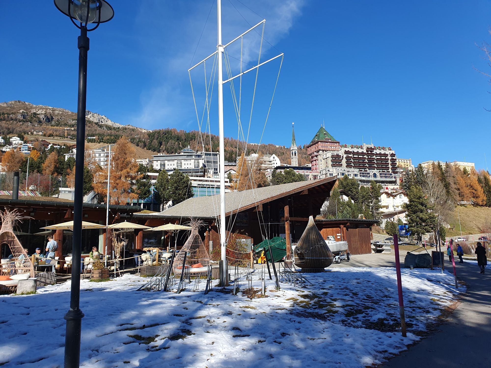
From Pontresina continue to Lake St. Moritz, loop around the lake and then on to Celerina, Samedan Airport and Zuoz.
Ano
Helmet, gloves, good footwear, glasses, rain and sun protection, water bottle, repair kit, first aid kit
The route was rated under favorable weather conditions; current weather and forecasts must be strictly observed before starting the ride. This route requires a high level of riding safety, balance, and technical skill.
Emergency numbers:
144 Emergency, First Aid
1414 Mountain Rescue REGA
112 International emergency number
Please be considerate when passing and overtaking hikers.
The Grisons mountain bike routes run largely on singletrails, which are also signposted as hiking trails. Hikers always have the right of way.
From the north: via Landquart – Klosters by car shuttle through the Vereina tunnel (Selfranga - Sagliains) or via the Flüela pass to Zernez on H27. From Zernez on the H28 to Munt la Schera and through the toll tunnel la Schera to Livigno (45 minutes from the south portal of Vereina)
From the east: via Landeck / Austria towards St. Moritz on H27 to Zernez. From Zernez on the H28 to Munt la Schera and through the toll tunnel la Schera to Livigno.
From the south: via Bolzano and Merano on the SS40 to Mals. From Mals on the SS41 to the Swiss border at Müstair. From Müstair on the H28 over the Ofen pass to Munt la Schera and through the toll tunnel la Schera to Livigno.
By the Rhaetian Railway (from Chur, Landquart/Prättigau, from the Upper or Lower Engadine) hourly to Zernez station
By PostAuto from Val Müstair and Mals hourly to PostAuto stop Punt la Drossa P4
From Zernez and Punt la Drossa P4 several times daily (not hourly) to PostAuto stop Livigno, centro
Paid parking lots in Livigno (starting point)
Paid parking lots in Zuoz (end point)
S3
The E-Mountainbike route «Nationalparkregion» can be booked over four stages with organized luggage transport as a package offer. More information at engadin.com/bike-pauschalen.
Webové kamery z prohlídky
-
Corviglia
-
St. Moritz / Samedan - Muottas Muragl
-
Camping Morteratsch
-
Corvatsch
-
Seggiovia Federia Monte
-
Monte Della Neve
-
Marguns - Plateau Nair
-
Samedo - Engadin Golf
-
St. Moritz / Samedan - Muottas Muragl
-
St. Moritz / Samedan - Muottas Muragl
-
St. Moritz / Samedan - Muottas Muragl
-
St. Moritz / Samedan - Muottas Muragl
-
Berninapass
-
Corviglia
-
Corviglia
-
Corviglia
-
Corviglia
-
Corviglia
-
Corviglia
-
Corviglia
-
Livigno - Mottolino
-
Mottolino - Bike Park
-
Livigno Ski School Area
-
Diavolezza Bergstation
-
Diavolezza Bergstation
-
Diavolezza Bergstation
-
Diavolezza Bergstation
-
Diavolezza Bergstation
-
Diavolezza Bergstation
-
Diavolezza Bergstation
-
Diavolezza Bergstation
-
Celerina - Cresta Palace
-
Livigno
-
Piz Nair - St. Moritz
-
Livigno - Crap
-
Zuoz
-
Celerina - Skiwiese Provuler
-
St. Moritz / Trais Fluors Bergstation
-
La Punt - Wasserreservoir
-
La Punt - Wasserreservoir
Získejte přehled
Vždy živě na místě s více než 9 500 webkamerami. bergfex Jako uživatel Pro si nyní můžete zobrazit odpovídající webové kamery pro mnoho prohlídek v aplikaci prohlídky z. Můžete si tak přímo prohlédnout aktuální podmínky.
Oblíbené prohlídky v okolí
-
4.6
Diavolezza - Munt Pers
světloHorská turistika 3.82 km -
5.0
Morteratsch station - Boval Hut
středníTuristika 10.5 km -
4.7
Panoramic route Muottas Muragl
světloTuristika 6.75 km -
5.0
Muottas Muragl - Segantini hut - Pontresina
středníTuristika 6.46 km -
4.5
Pontresina - Val Roseg - Pontresina
světloTuristika 13.8 km -
4.8
SAC Tschierva
světloTuristika 24.7 km -
4.8
Around Lake St. Moritz
světloTuristika 4.32 km -
4.7
Morteratsch Glacier route
světloTematická stezka 2.88 km -
4.4
Piz Palü (3.905m) – Hochtour
středníVysokohorská turistika 13.4 km -
4.8
Alp Languard - Segantini Hut - Muottas Muragl
středníTrailrunning 6.45 km
Pěší turistika a stopování


Nenechte si ujít nabídky a inspiraci pro vaši příští dovolenou
Vaše e-mailová adresa byl přidán do poštovního seznamu.





