


Learn about Hiking Etiquette / Health benefits of nature activities _add link
The Pirunvaara area is a well-known outdoor recreation area in the southern part of the Kajaani urban area, near the Lohtaja district. It is about 3 km from Lohtaja to Pirunvaara. A new 8 km hiking trail...
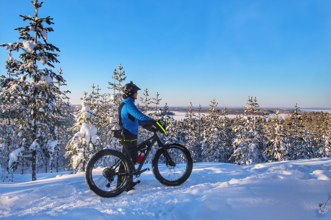
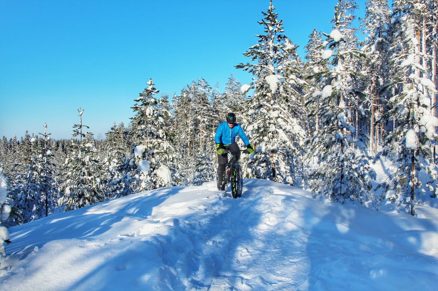
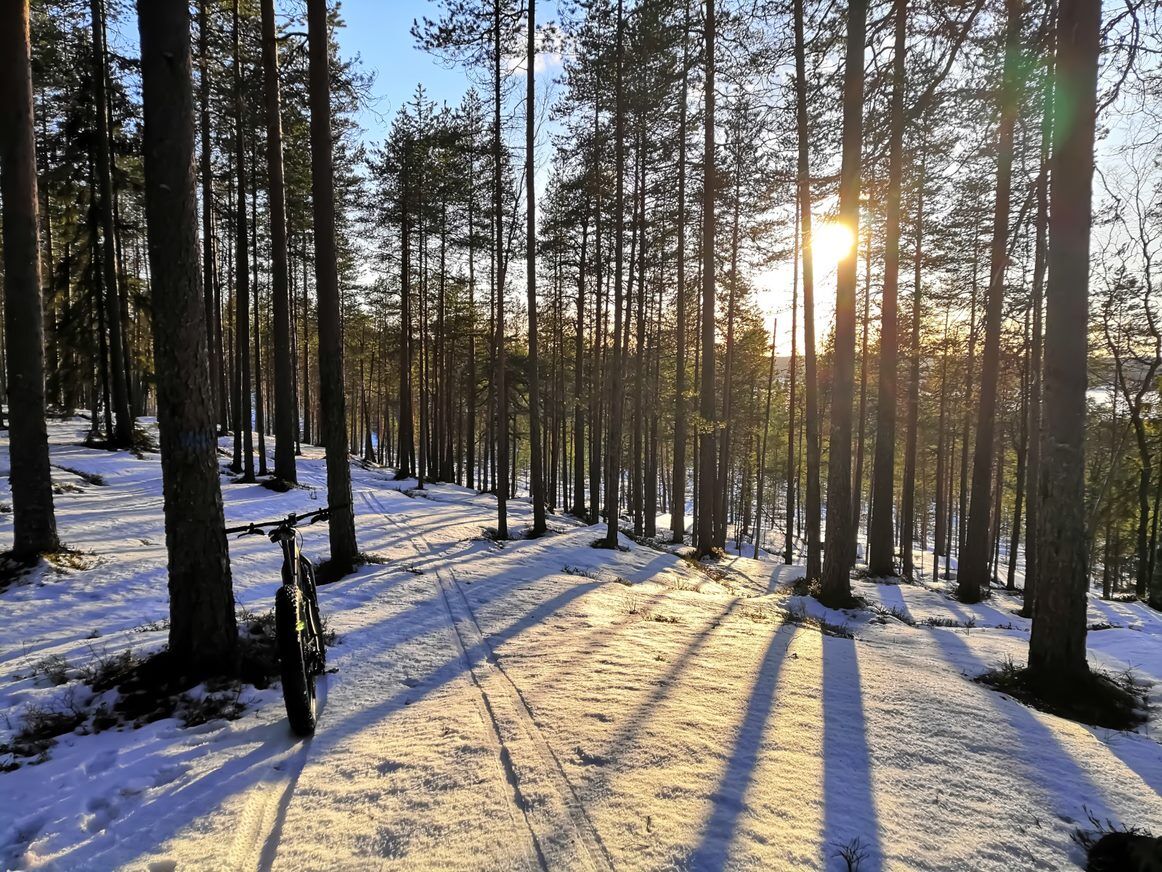
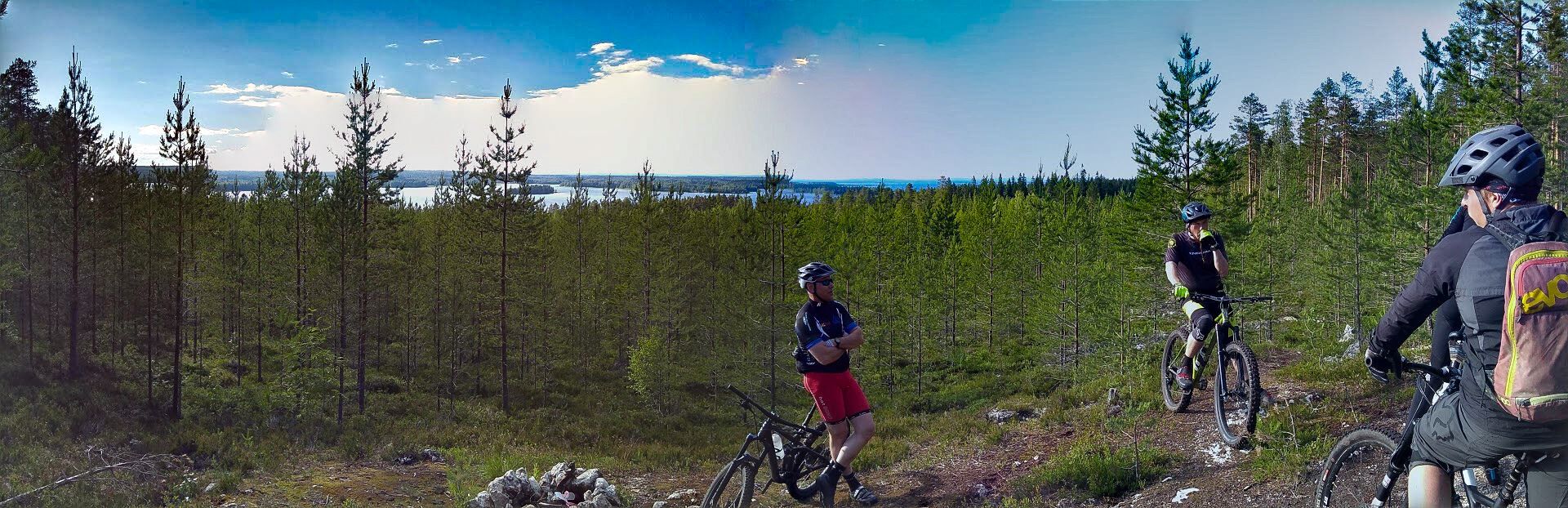
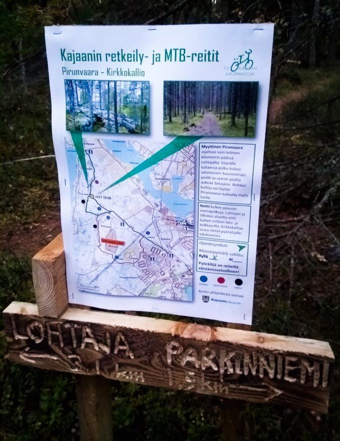
The Pirunvaara area is a well-known outdoor recreation area in the southern part of the Kajaani urban area, near the Lohtaja district. It is about 3 km from Lohtaja to Pirunvaara. A new 8 km hiking trail opened in 2019, suitable for walking, running, and cycling. In winter, ski tracks partly follow the same route. The starting point of the route is at the beginning of the illuminated Lohtaja ski track on Satumaantie. The route can be extended by connecting the so-called Heikki loop. However, this loop is not suitable for cycling. Also, at Kirkkokallio on the main route, you need to walk your bike.


Ano
Ano
Dress according to the weather and be prepared with extra clothes, snacks, and drinks if necessary. Also bring a map, phone, first aid supplies, and a trash bag.
The route is generally easy, although partly wet forest terrain. Be careful of slipping especially in rainy weather at the high points of Pirunvaara and Kirkkokallio.
Oblíbené prohlídky v okolí
-
Kesäniemi - Kuluntalalahti paddling route 11 km, Kajaani
středníKajak / Kánoe 11.5 km -
Kuluntalahti - Rehja island paddling route 8/16 km, Kajaani
středníKajak / Kánoe 7.18 km -
10 km hiking round trip around Ärjänsaari, Kajaani
světloTuristika 9.20 km -
Vimpelinlampi Walking Trail 2,5 km, demanding accessible, Kajaani Finland
světloTematická stezka 2.51 km -
Arppen forest trail 2.2 km, Kajaani
světloTuristika 2.06 km -
Akkovaara family excursion - About devils and giants 2 km, Kajaani Finland
středníTuristika 2.31 km -
Eino Leino cultural walk, 2 km, Kajaani Finland
světloTematická stezka 1.96 km -
Pirunvaara - Kirkkokallio hiking trail 13 km, Kajaani Finland
středníMountainbike 11.9 km -
6 km from Kuurna paddling barn to the market square, Kajaani
středníKajak / Kánoe 5.97 km -
Day trip from Kajaani to Iso Ruuhijärvi 12 km, Kajaani Finland
středníMountainbike 12.4 km
Pěší turistika a stopování


Nenechte si ujít nabídky a inspiraci pro vaši příští dovolenou
Vaše e-mailová adresa byl přidán do poštovního seznamu.