




Kuluntalahti - Rehja island paddling route 8/16 km, Kajaani
Úroveň obtížnosti: 3
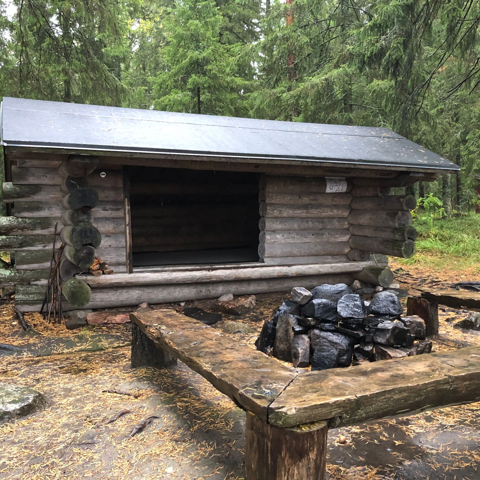
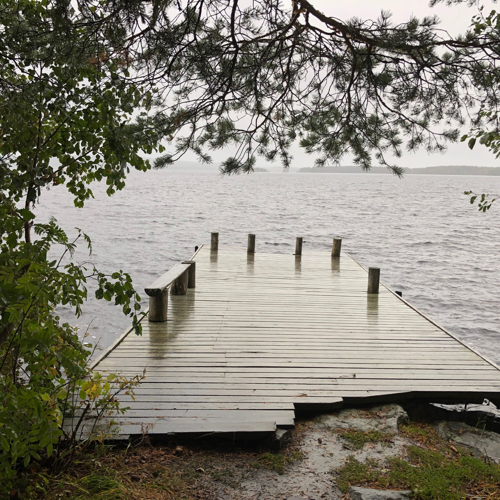
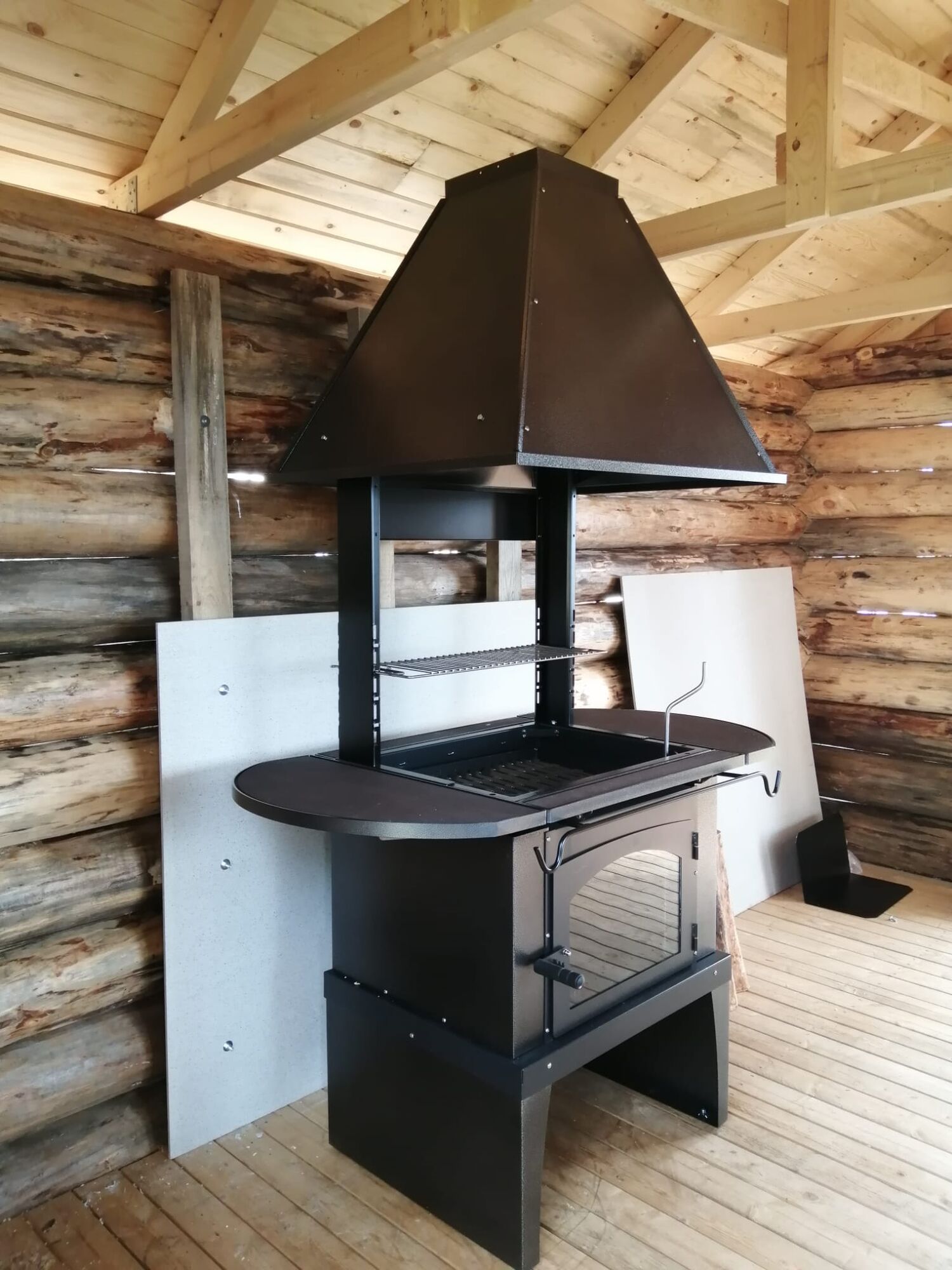
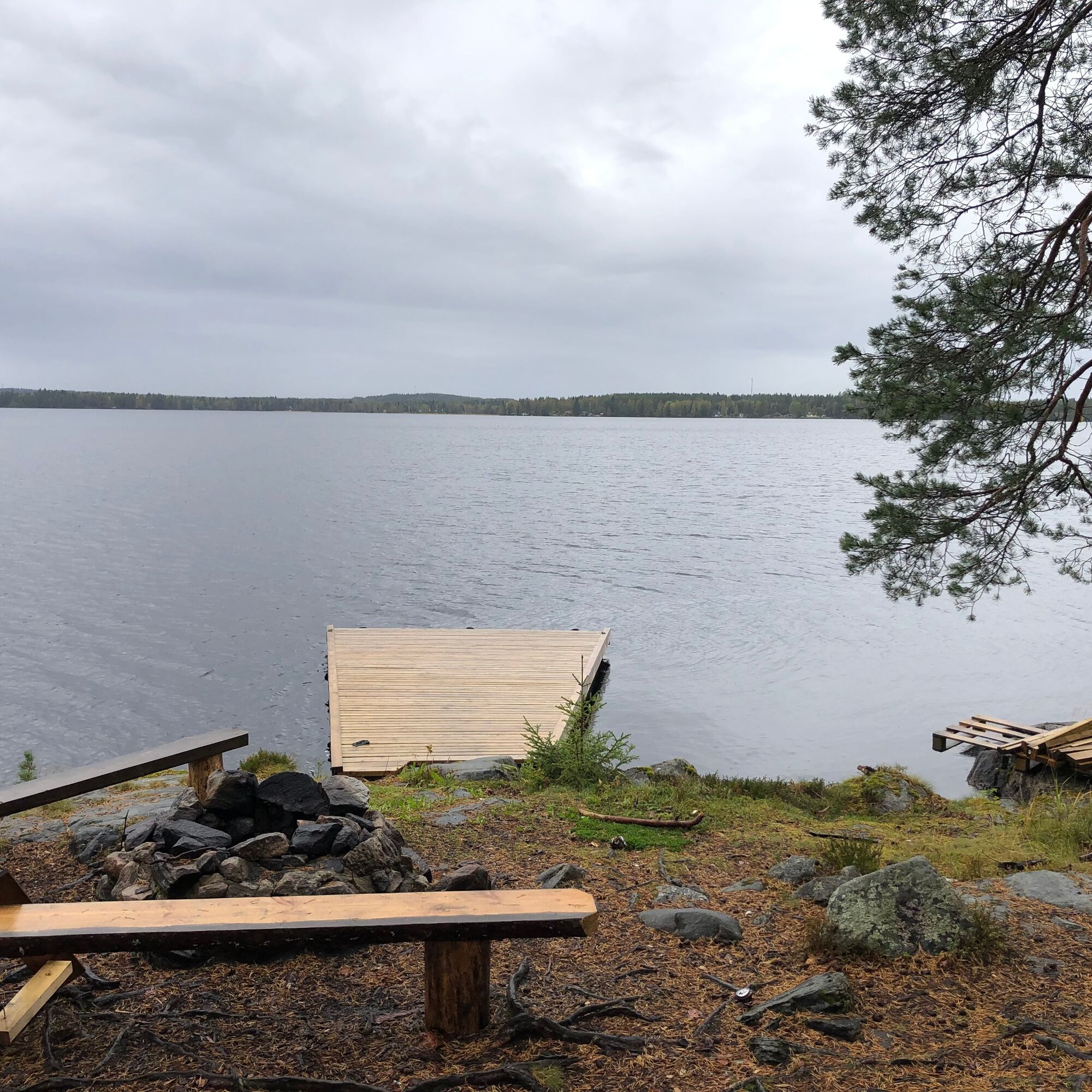
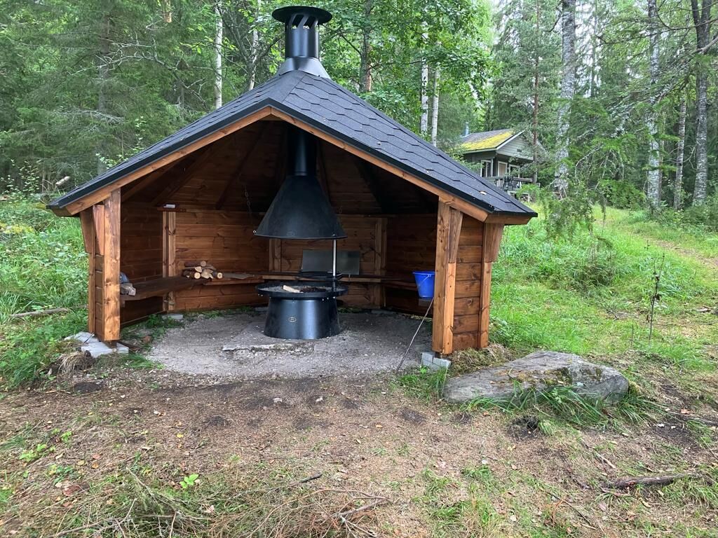
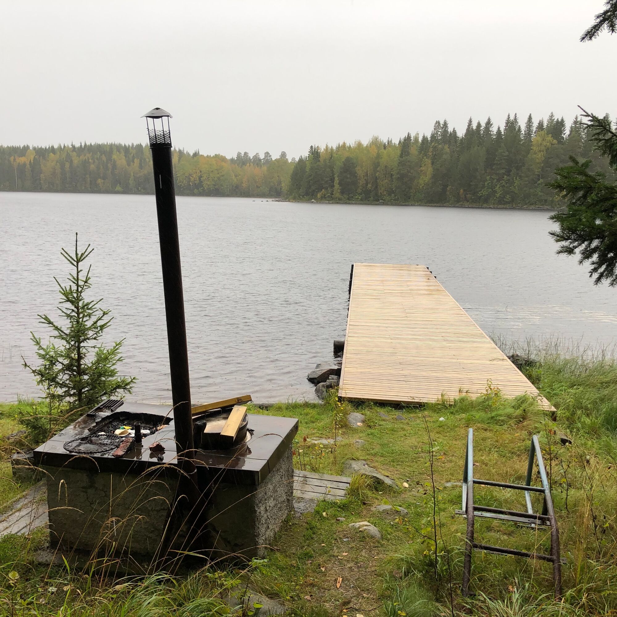
Rehja offers paddlers and hikers numerous landing and camping spots around the island. Fireplaces, cooking shelters, and piers on the island have been renovated in recent years (2022-23). There are also...
Rehja offers paddlers and hikers numerous landing and camping spots around the island. Fireplaces, cooking shelters, and piers on the island have been renovated in recent years (2022-23). There are also rental cottages and saunas on the island.
The route track leads to the main place of Rehja island, Toivola. Alternatively, you can land on other shores as there are piers around the island. Most shores are rocky, but the beach on the east shore has a sandy bottom.
You can camp on Rehja island in tents for free following traditional everyman’s rights, and the area's fire sites are freely available for everyone. Firewood for campfires can be found in nearby wood sheds. Near the lean-tos, there are also publicly used outhouses (no toilet paper provided).
Some cottages on the island are available for rent, Luonnollisesti Oulujärvi . This company is responsible for Toivola, the main building area of the island with its yards and the rental and maintenance of Puolukkarinne and Koskela cottages. Other buildings on the island are administered by the city and are currently not available for rent. When staying overnight on the island in tents, consider the location of rental cottages and other buildings when choosing your camping spot.

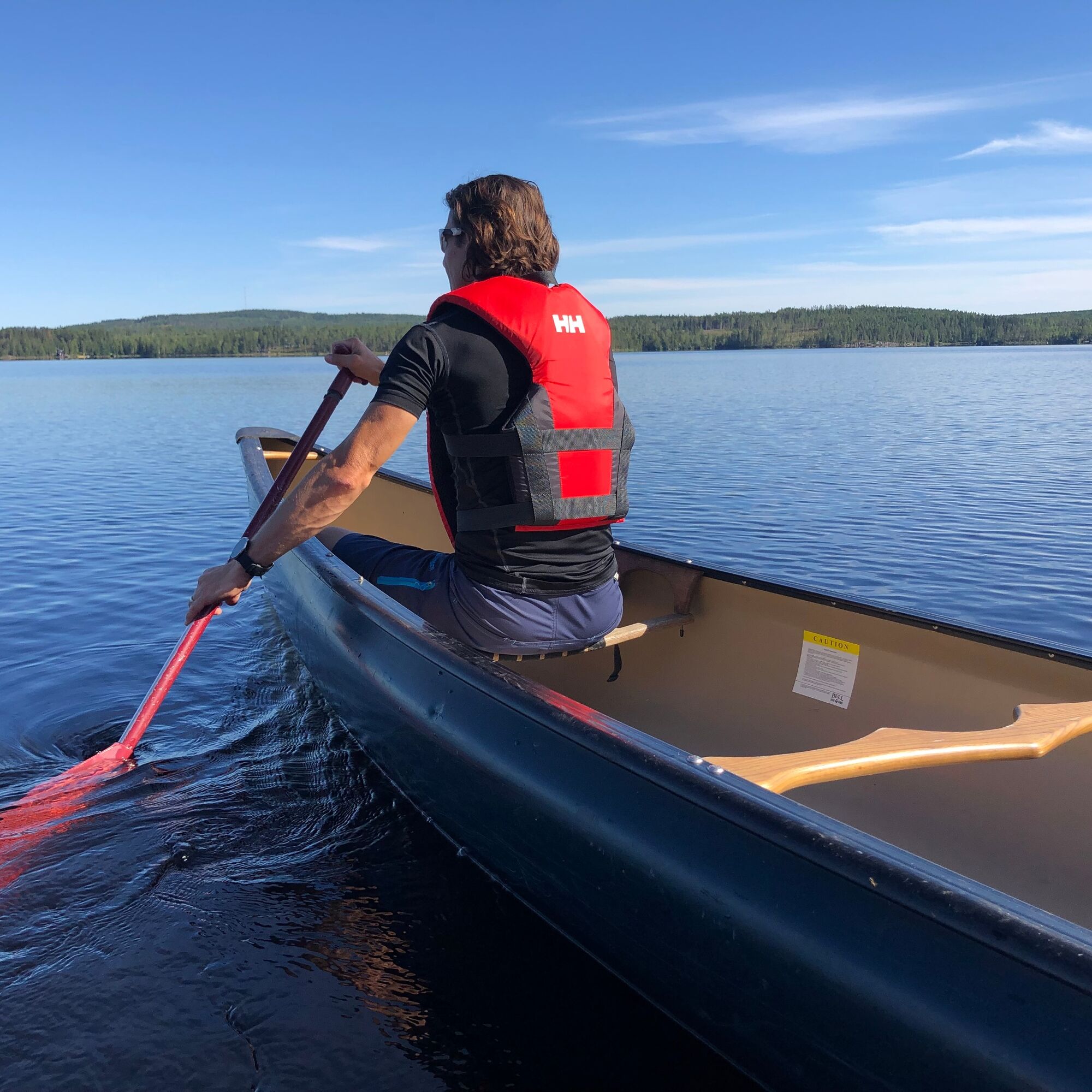
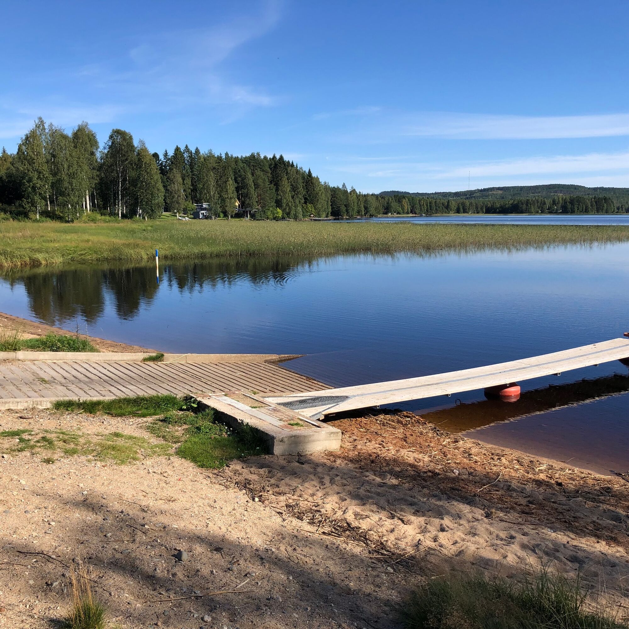
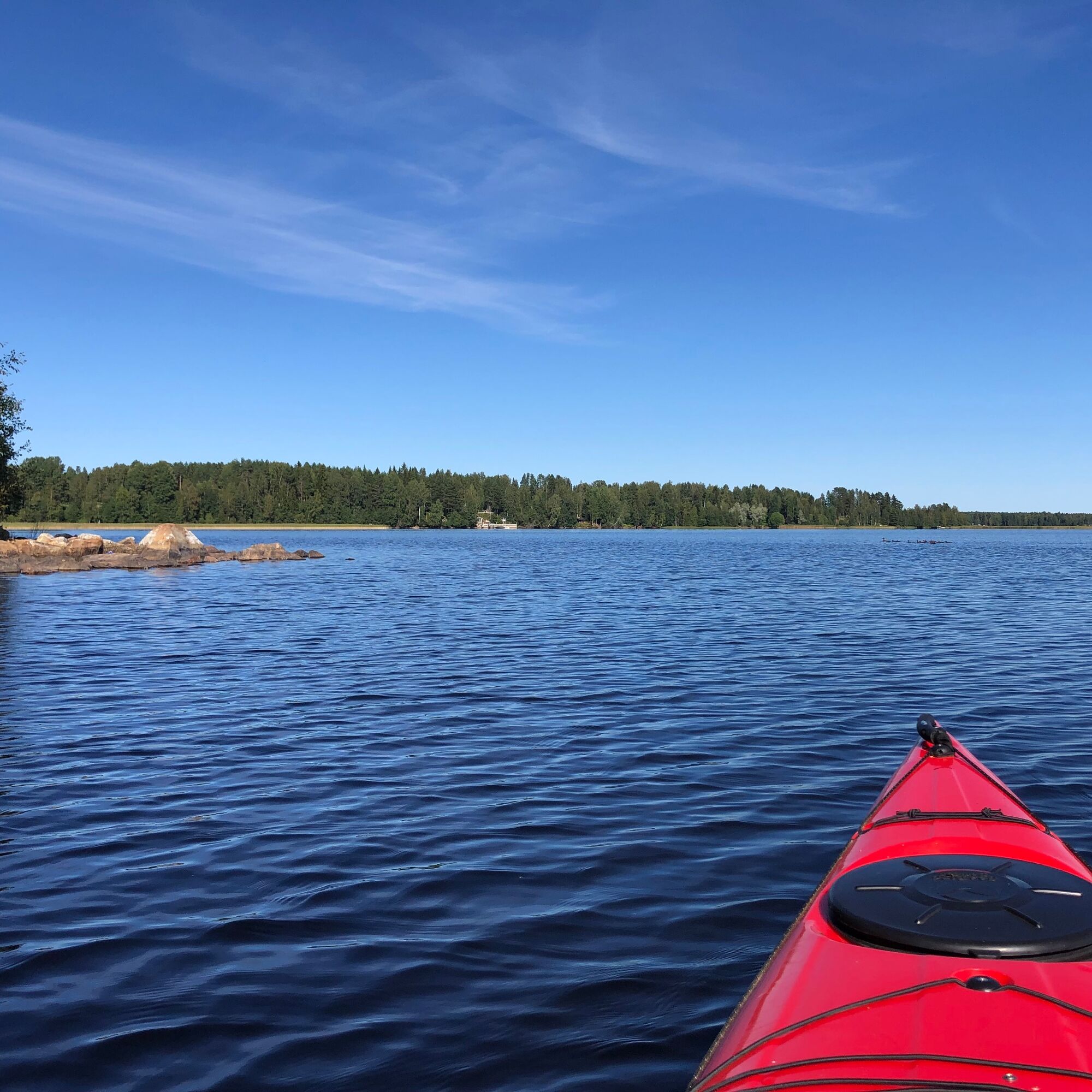
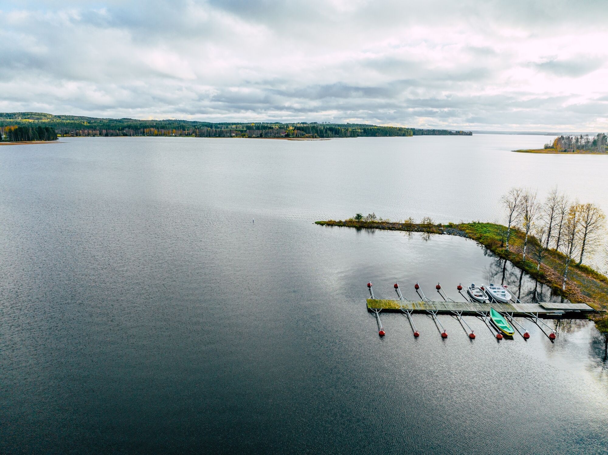
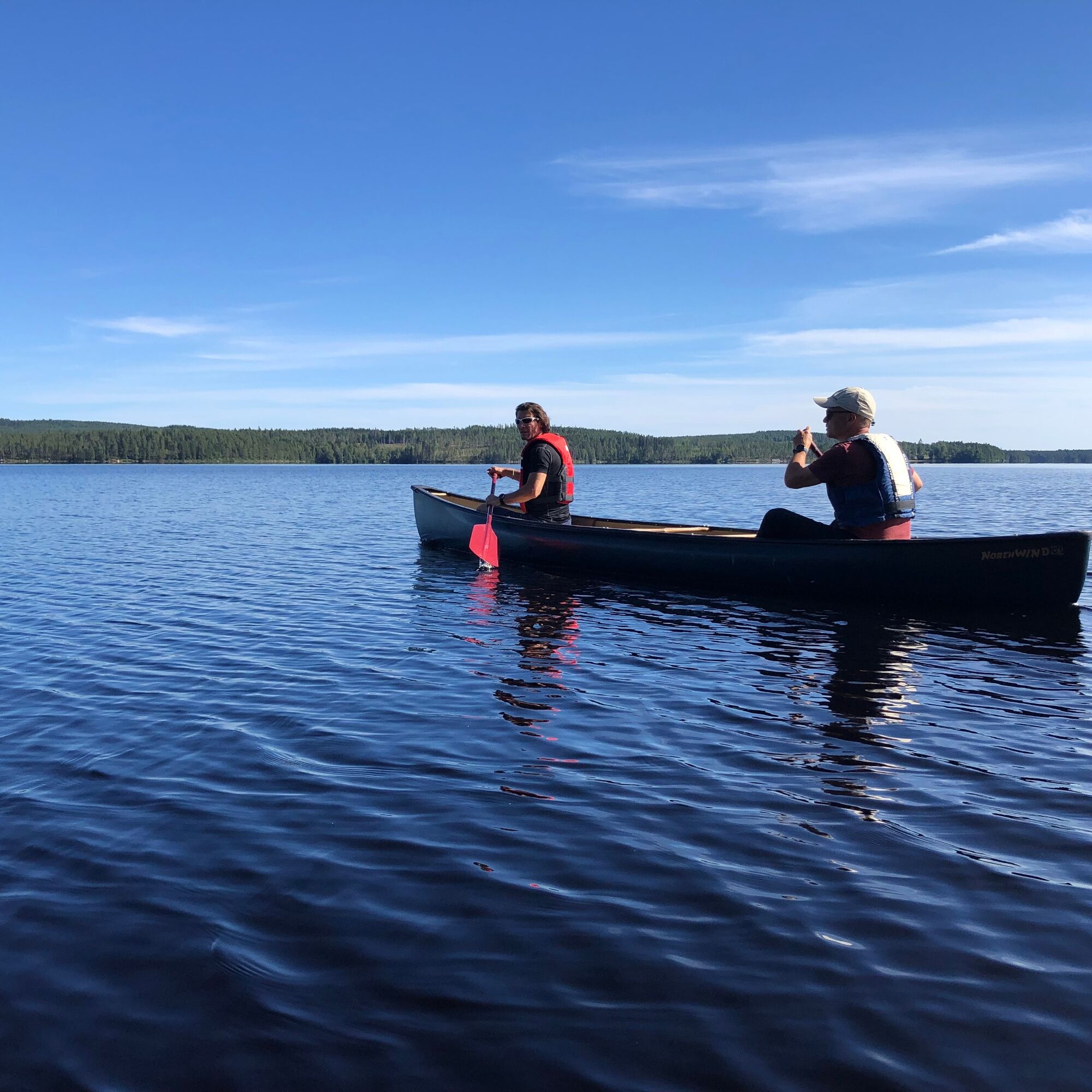
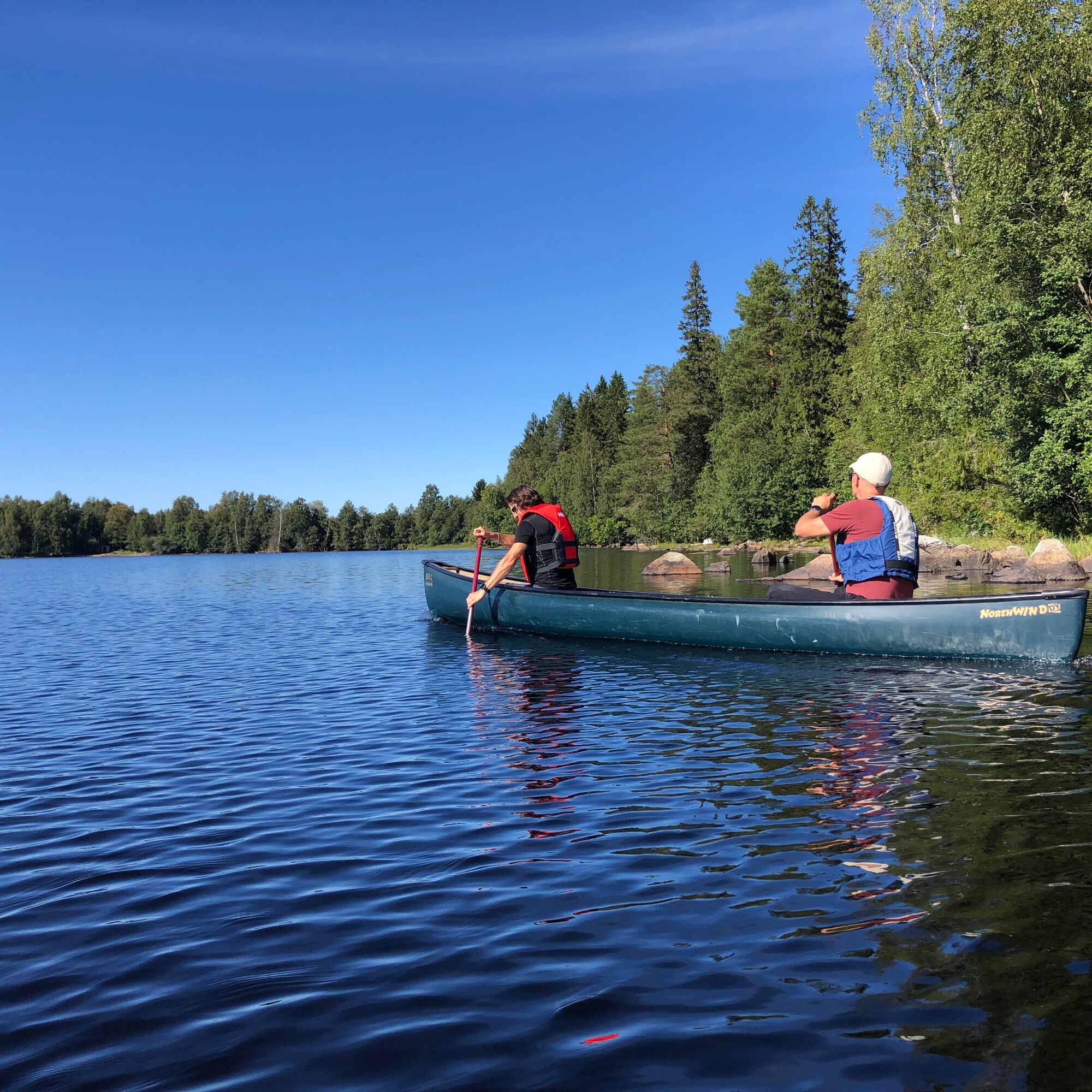

The route length is approximately 8 km one way.
The starting point is at Kuluntalahti marina (alternatively Kuluntalahti beach).
The route instruction is drawn to follow the western shore of the bay, but pay attention to the wind direction.
Landing at Rehja to Toivola or other alternative location.
Ano
Can be navigated close to the shore by canoe, kayak, and rowboat. The route has many places with very shallow water far from the shore. With a bigger boat, follow the channel instructions.
The route is suitable for an experienced paddler. There are no flowing water sections on the route, but Rehjanselkä is a wind-exposed area and waves can rise high. Even in Kuluntalahti with a south wind, waves can rise high.
In summer, there can be some motorboat traffic. Paddlers must yield to other water traffic.
Remember that most shores are inhabited, so respect privacy - do not paddle right next to the shore waters.
Wear a life jacket while paddling and preferably paddle close to the shore.
It is safest to move on the water with a friend or group, especially if unfamiliar with the area. Before paddling trips, check weather forecasts. Pay attention to wind direction and strength on the open lake.
Bring spare clothes as well as snacks and drinks.
Take your phone packed watertight along.
From Kajaani northwards on road 5 and at Kuluntalahti to Vuokatintie. The harbor is right by the road.
It is about 11 km from Kajaani center to here.
Some of the buses between Kajaani and Sotkamo run on the so-called northern road via Kuluntalahti.
At the harbor area on the shore.
3
From Rehja island, you can continue south to Venääläniemi (2-3 km) and Karankalahti (approx. 10 km) or west towards Kajaani city center.
The route is suitable for an overnight trip.
Oblíbené prohlídky v okolí
Kainuu Tervareitti / Stage 3: Sotkamo - Kajaani 36 km
heavyKajak / Kánoe 36.0 kmKesäniemi - Kuluntalalahti paddling route 11 km, Kajaani
středníKajak / Kánoe 11.5 kmVimpelinlampi Walking Trail 2,5 km, demanding accessible, Kajaani Finland
světloTematická stezka 2.51 kmTour de Nuas road cycling route 85 km, Vuokatti
heavyCyklistika na velkou vzdálenost 84.6 kmSotkamo - Kajaani road cycling route 220 km, Vuokatti
heavyCyklistika na velkou vzdálenost 218.9 kmEino Leino cultural walk, 2 km, Kajaani Finland
světloTematická stezka 1.96 kmDay trip from Kajaani to Iso Ruuhijärvi 12 km, Kajaani Finland
středníMountainbike 12.4 kmPirunvaara - Kirkkokallio hiking trail 13 km, Kajaani Finland
středníMountainbike 11.9 km6 km from Kuurna paddling barn to the market square, Kajaani
středníKajak / Kánoe 5.97 kmPaddling trip to the Särämäjärvi bird waters 10 km, Kajaani
středníKajak / Kánoe 10.4 km

Pěší turistika a stopování


Nenechte si ujít nabídky a inspiraci pro vaši příští dovolenou
Vaše e-mailová adresa byl přidán do poštovního seznamu.





