




Kainuu Tervareitti / Stage 3: Sotkamo - Kajaani 36 km
Úroveň obtížnosti: 4
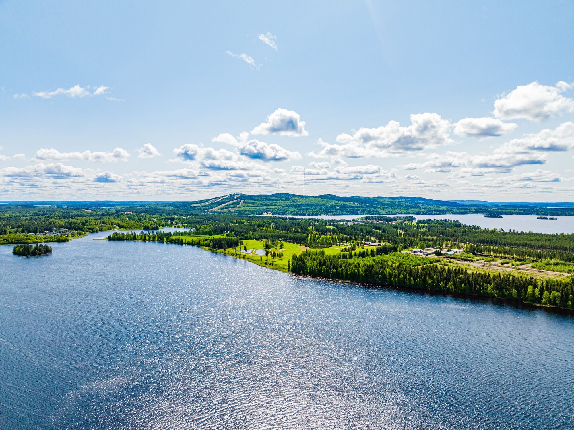
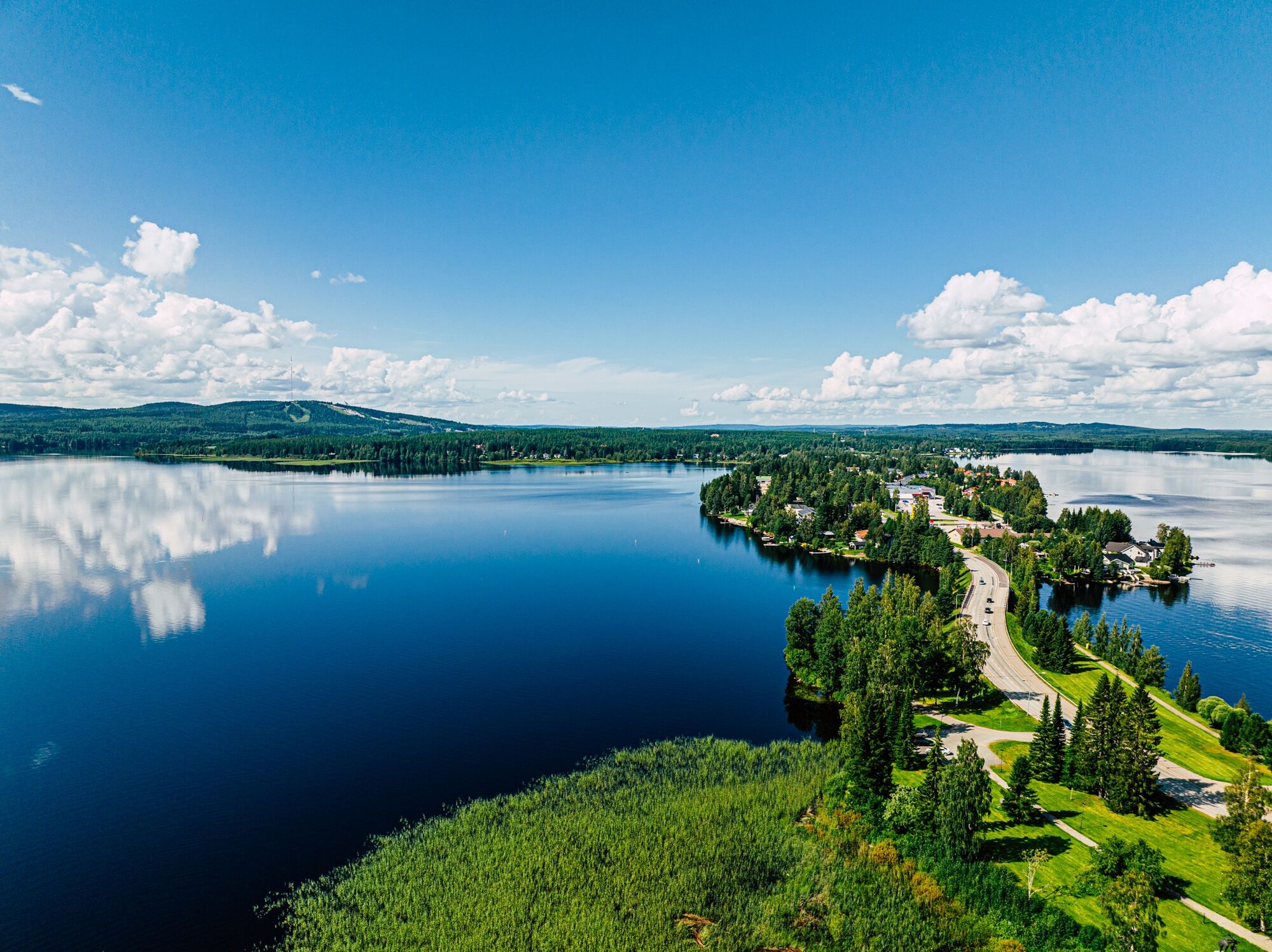
From Sotkamo's labyrinthine waters towards Kajaani, you travel through the swift Teneti stream to the large Nuasjärvi. At its eastern end is Vuokatti with its ridge chain and at the western end Kajaani.
The...
From Sotkamo's labyrinthine waters towards Kajaani, you travel through the swift Teneti stream to the large Nuasjärvi. At its eastern end is Vuokatti with its ridge chain and at the western end Kajaani.
The stage between Sotkamo and Kajaani is 36 km and divided into two day stages. An experienced paddler can of course travel the route in one day. The route starts from Sotkamo center but the starting point can also be in Vuokatti.
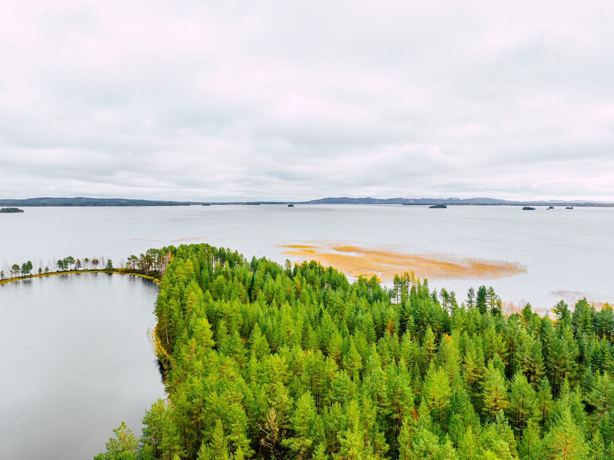
On the first day, paddle through Pirttijärvi and then on to Teneti stream. The southern shores are densely populated almost throughout, but there are many landing places. Teneti discharges into Mujethoulu. Nuasjärvi opens as a long east-west oriented open water, broken by a few small islands. The northern shores are in many places sandy and very shallow for a long distance. From the eastern shore of Rimpilänniemi is the day stage destination Niemelän holiday cottages.
On the second day, shortly after Rimpilänsalmi, the north-south oriented Rehjanselä opens. On the other side is the versatile recreational destination Rehjansaari and soon after, Kajaani center.


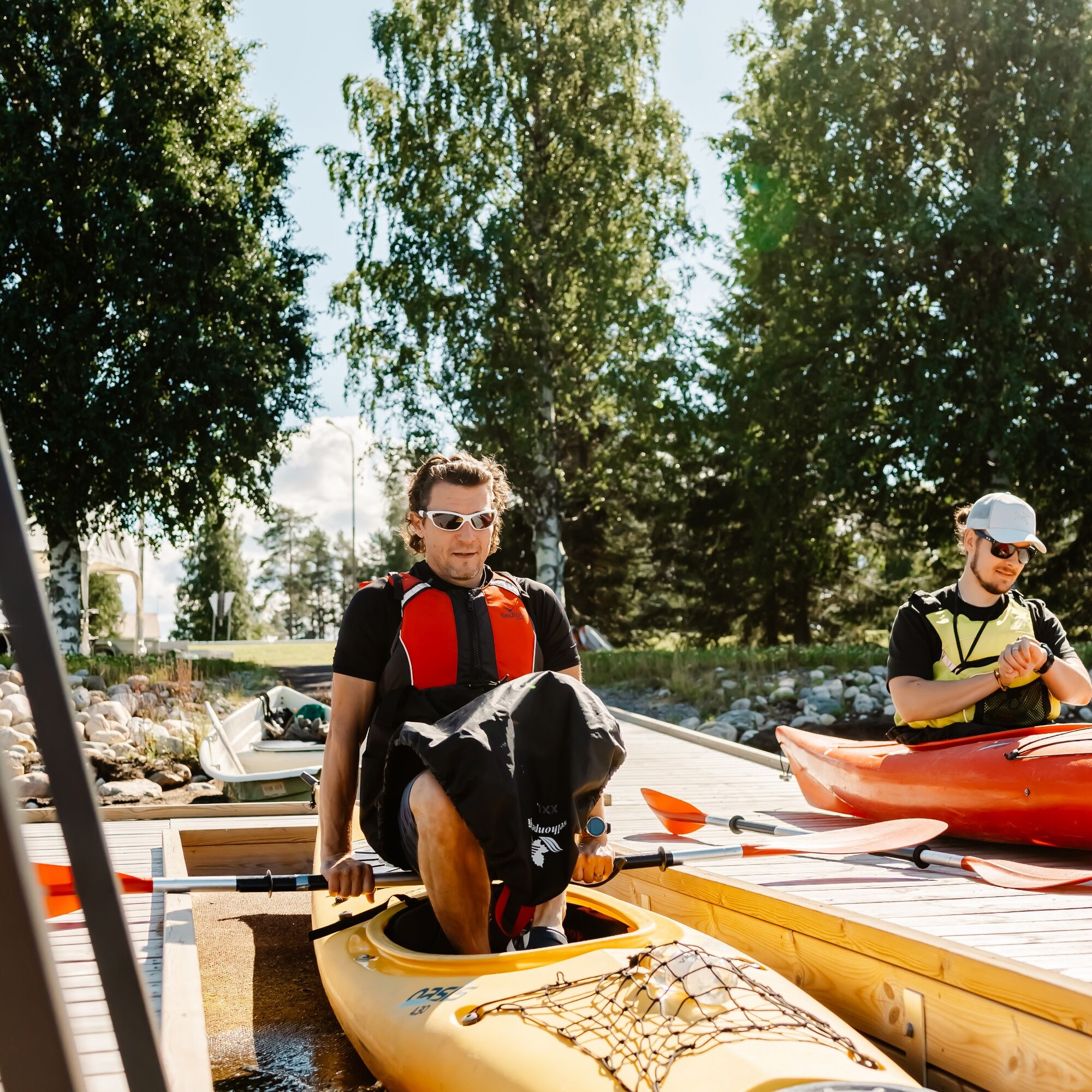

Day stages (this is an example - you can plan a more precise schedule according to your wishes and skills)
Day 1: Sotkamo, harbor - Niemelän holiday cottages (20 km)
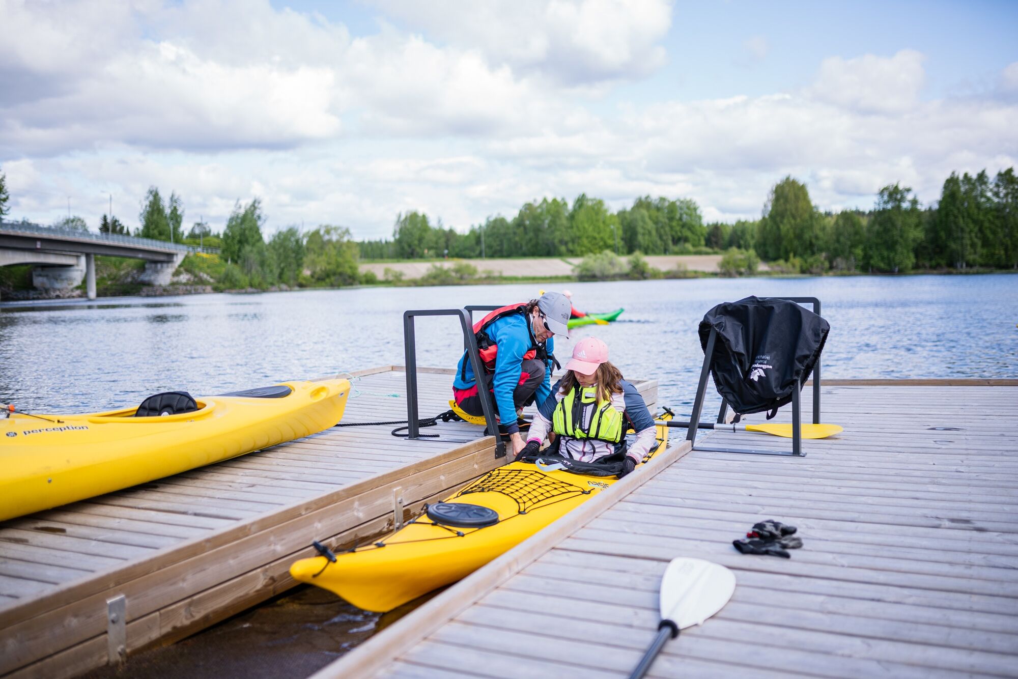
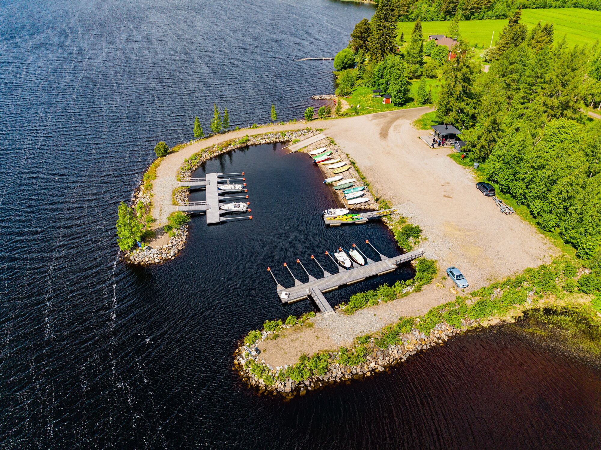
Alternative starting point: Katinkulla beach. The distance to Kajaani is then about 29 km, so it is possible to paddle it in one day. Tip: with a south wind, it is advisable to travel on the southern shore of Nuasjärvi (distance roughly the same).The stage's starting point is at Sotkamo harbor by the breakwater at the accessible paddling pier. Paddle northwest through Pirttijärvi. The southern shore is densely populated, with several landing spots at Hirvenniemi. You can also detour to the northern shore of Ammonsaari lake.
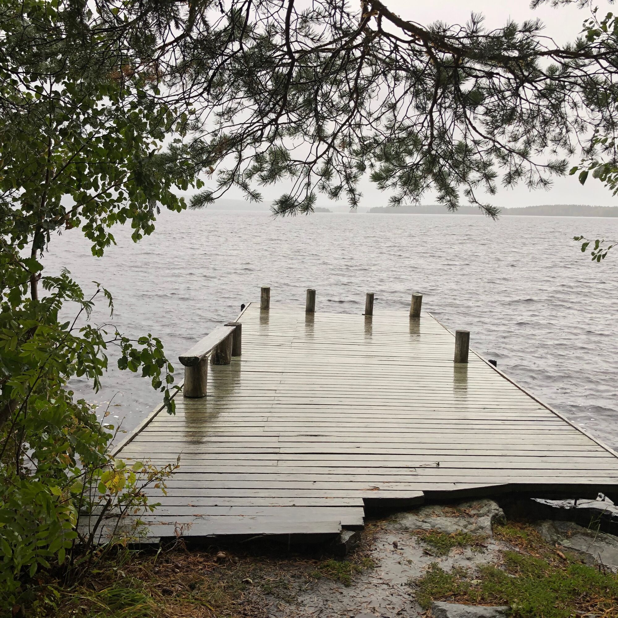
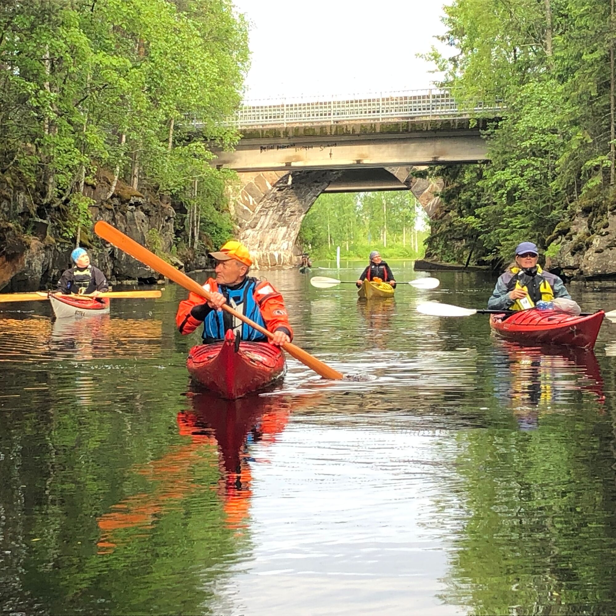
Pirttijärvi narrows to Teneti stream, where you paddle downstream. After heavy rains, the current can be stronger and locally swirling. Midway through the wider initial section is the Teneti swimming pier and boat landing for a break. After the railway bridge, the southern shore is densely populated. At the end of Teneti stream in Tikkalansalmi, before the road bridge, there is a paddling pier on the east shore.
Teneti stream discharges its waters into Mujethoulu, which in some places is referred to as a lake, in others as a river, and in others as a bay. Immediately at the start on the northern shore are the Halola cliffs with faintly visible rock paintings. Mujethoulu's northern shore is populated and filled with cottages. The southern shore landscape is dominated by Katinkulla golf courses.
The strait between Kaarreniemi and Huuskonniemi to Rimpilänniemi at Niemelän holiday cottages is about 8 km.
TIP: Take a break before heading to the large Nuasjärvi; good rest spots include e.g. Naapurinvaara boat harbor, which has a glass kota (hut), or Kaareniemi lean-to shelter.
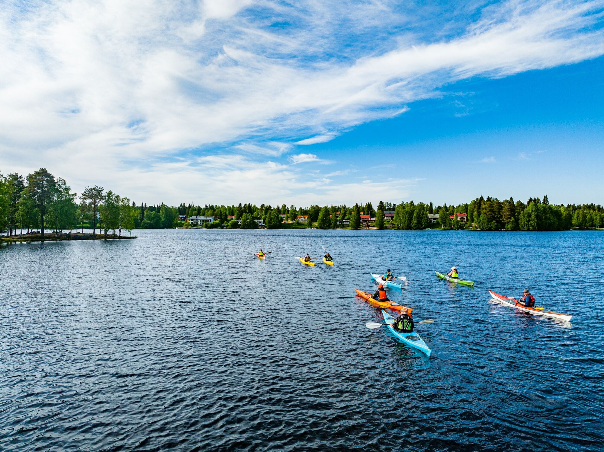
Nuasjärvi is a large open water body exposed to winds. Waves can rise high. The northern shore is in many places shallow and sandy for a long distance. If you want to paddle along the southern shore, you have to cross a large open water section at first (about 3 km to Petäjäniemi on the opposite shore).
On Nuasjärvi, paddle initially near the Huuskonniemi shore and proceed past Pikkukylä. In calm weather, you can aim directly past Muurausaari to Rimpilänniemi at the farm tourism Niemelän Holiday Cottages shore.
Day 2: Niemelän holiday cottages - Kesäniemi beach, Kajaani (16 km)
On the second day, head around Rimpilänniemi towards the shores of Korvaniemi. The shore is in places very shallow and sandy far out.
Note that the distance from Niemelä shore to Rehjansaari is about 11 km. The shores are mostly private, with a lot of settlement and cottages. Landing is allowed under general access rights, but plan your destination carefully.
Before crossing Rehjanselä, there is a small island Hämeensaari, from which it is good to aim for Rehjansaari. The Rehja crossing is about 1.5 km.
TIP: If wind conditions require, you can change to paddling immediately at the tip of Rimpilänniemi to the southern shore towards Korholanmäki and Lontaniemi. The strait crossing is less than one kilometer long. The trip to Rehjansaari is about one kilometer longer.
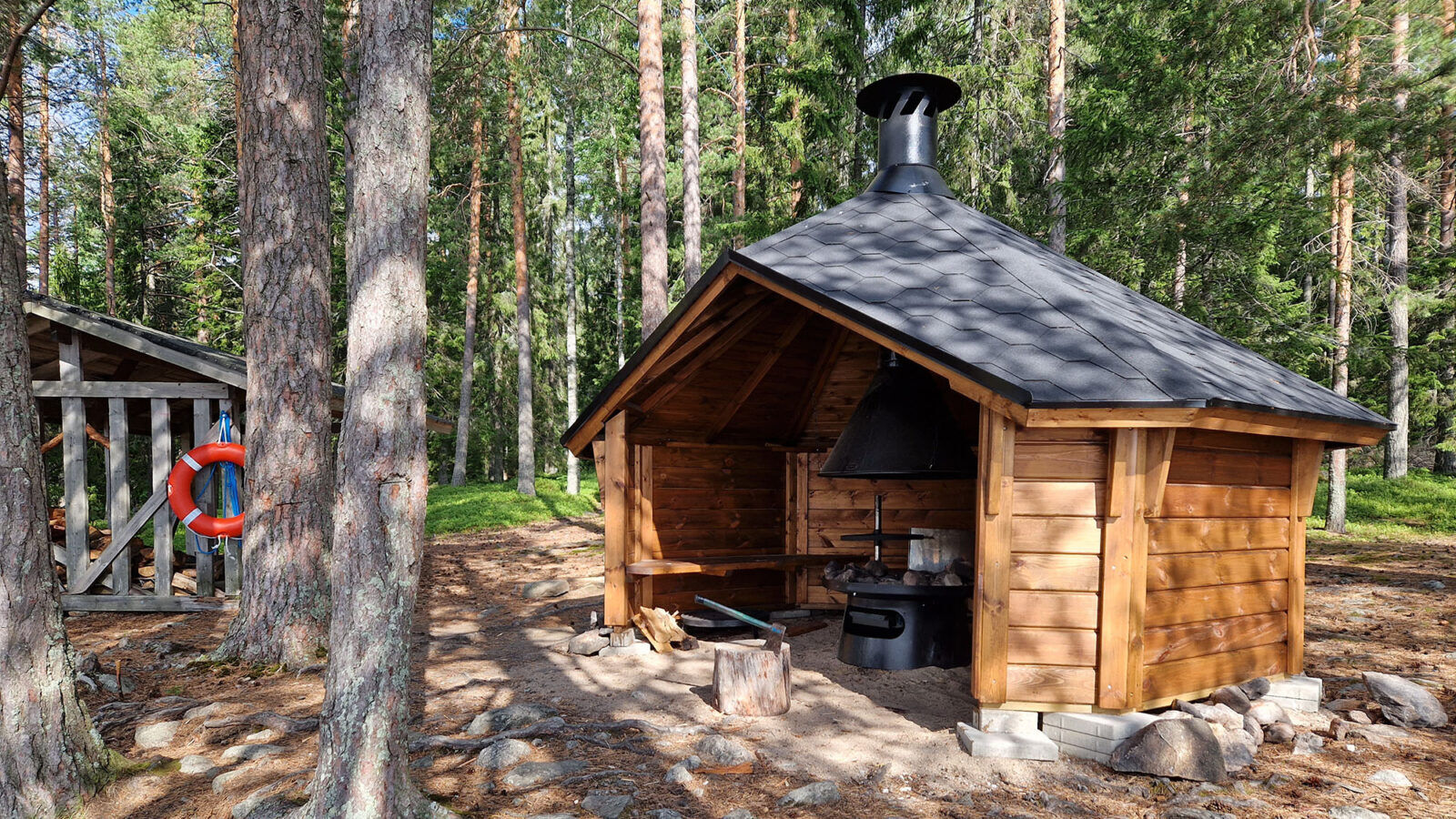
Rehjansaari has several campfire sites and cooking shelters around the island. At the easternmost point is first encountered the Rehjansaari Kummelinniemi cooking shelter with a pier on its shore. In summer, there are also rentable cottages. There are also boat piers around the island. On the east shore in the bay's end is a sandy-bottomed beach.
From Rehjansaari to Kajaani, paddle along the shore of Purnunniemi. Soon you face a small archipelago. The route is drawn to pass between Pukkisaari and Linnasaari, but Pukkisaari is divided into two small and narrow but paddleable waterways.
After Pukkisaari, move to paddle along the northern shore. You soon reach Kuurna paddling stable area. The lake narrows into the Kajaani River. Ahead, you see the highway embankment. It is pierced by a small bridge under which you can access the Nälkä canal. It is one-way. At the canal's end is Pyörteen farm. Immediately afterward, turn left where a beach is visible. On the east side of the beach in the bay's end is the Kesäniemi paddling pier.
Ano
Passable by paddling (kayak, canoe).
The route is drawn to pass through shallow water areas, so when traveling by boat, follow guided waterways.
The route is suitable for experienced paddlers as a travel destination.
Note that the shores along this route are privately owned. Landing is allowed under general access rights.
On lake sections, there are wind-exposed areas which can raise waves.
In summer, there may be some motorboat traffic. Paddlers must give way to other water traffic.
Plan the paddling route according to your skills. On lake sections, paddle close to the shore and scout rapids from the shore in advance.
Wear a life jacket while paddling and preferably paddle near the shore.
Secure all equipment well on the canoe, preferably in a dry bag or container.
Pack first aid equipment, change of clothes, and matches in waterproof packaging.
Pack phone and power bank in waterproof packaging.
It is safest to move on the water with a friend or group, especially if you are not familiar with the water area.
Before the paddling trip, check weather forecasts. Consider wind direction and strength on open lakes.
Bring spare clothes as well as snacks and drinks; there are often no replenishment opportunities along the route.
Bring enough clean drinking water and/or water purification equipment. Refill water supplies whenever possible.
If you get into trouble during your trip, call 112 and make an emergency call – use the 112 app.
Follow Sotkamo signs. The harbor is just before the center on the north side of the road when coming from Vuokatti.
Bus traffic between Kajaani and Sotkamo passes by Sotkamo harbor. The bus station is within walking distance.
Local traffic between Sotkamo and Vuokatti is SotKatti.
Free parking in the harbor area.
4
Alternative starting point: Katinkulla beach. The distance to Kajaani is then about 29 km, so it is possible to paddle it in one day.
Tip: with a south wind, it is advisable to travel on the southern shore of Nuasjärvi (distance roughly the same).
Rehjansaari is only 5 km before Kajaani, but it offers plenty of different rest and overnight options. So you can paddle there overnight.
Oblíbené prohlídky v okolí
-
Pirttijärvi circuit 32 km, Vuokatti - Sotkamo
světloJízda na kole 32.1 km -
UKK trail from Rönkkö to Sports Institute 12 km, Vuokatti
heavyTuristika 11.9 km -
Eino Leino trail 7 km, Vuokatti
heavyTuristika 7.41 km -
Sapporo path 10 km, Vuokatti
heavyTuristika 9.84 km -
Multi-use trail to Kaarreniemi lean-to 5km, demanding, accessible, Vuokatti
světloZimní turistika 5 km -
Kesäniemi - Kuluntalalahti paddling route 11 km, Kajaani
středníKajak / Kánoe 11.5 km -
Snowshoeing on Vuokatinvaara, Vuokatti
středníSněžnice 1.33 km -
Challenging 18 km mountain biking route at Ohravaara, Vuokatti
středníMountainbike 18.1 km -
Tour de Nuas road cycling route 85 km, Vuokatti
heavyCyklistika na velkou vzdálenost 84.6 km -
Paddling from Sotkamo to Katinkulta 16 km, Sotkamo - Vuokatti
středníKajak / Kánoe 16.3 km

Pěší turistika a stopování


Nenechte si ujít nabídky a inspiraci pro vaši příští dovolenou
Vaše e-mailová adresa byl přidán do poštovního seznamu.





