







Amberger Alp - Mirnock
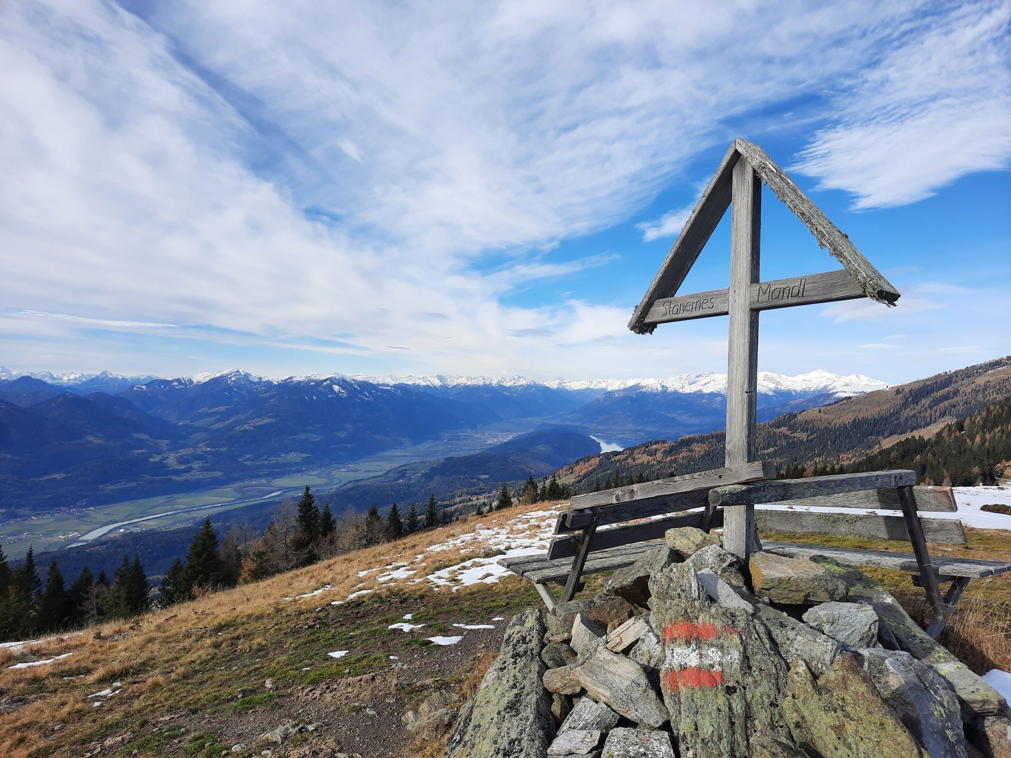
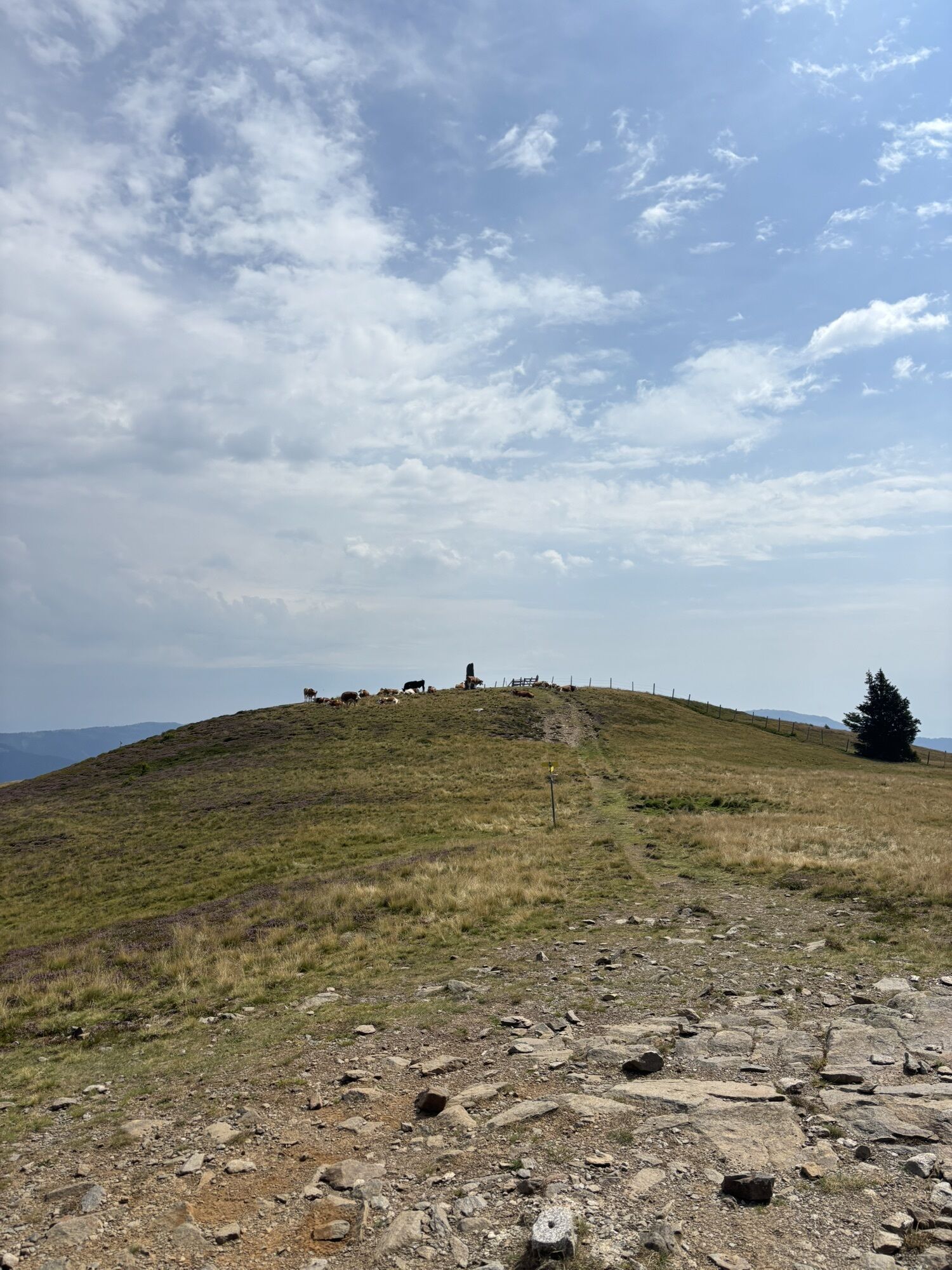
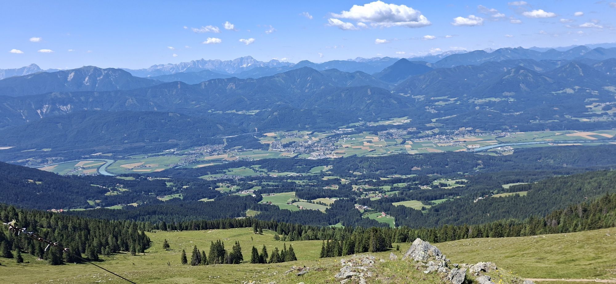
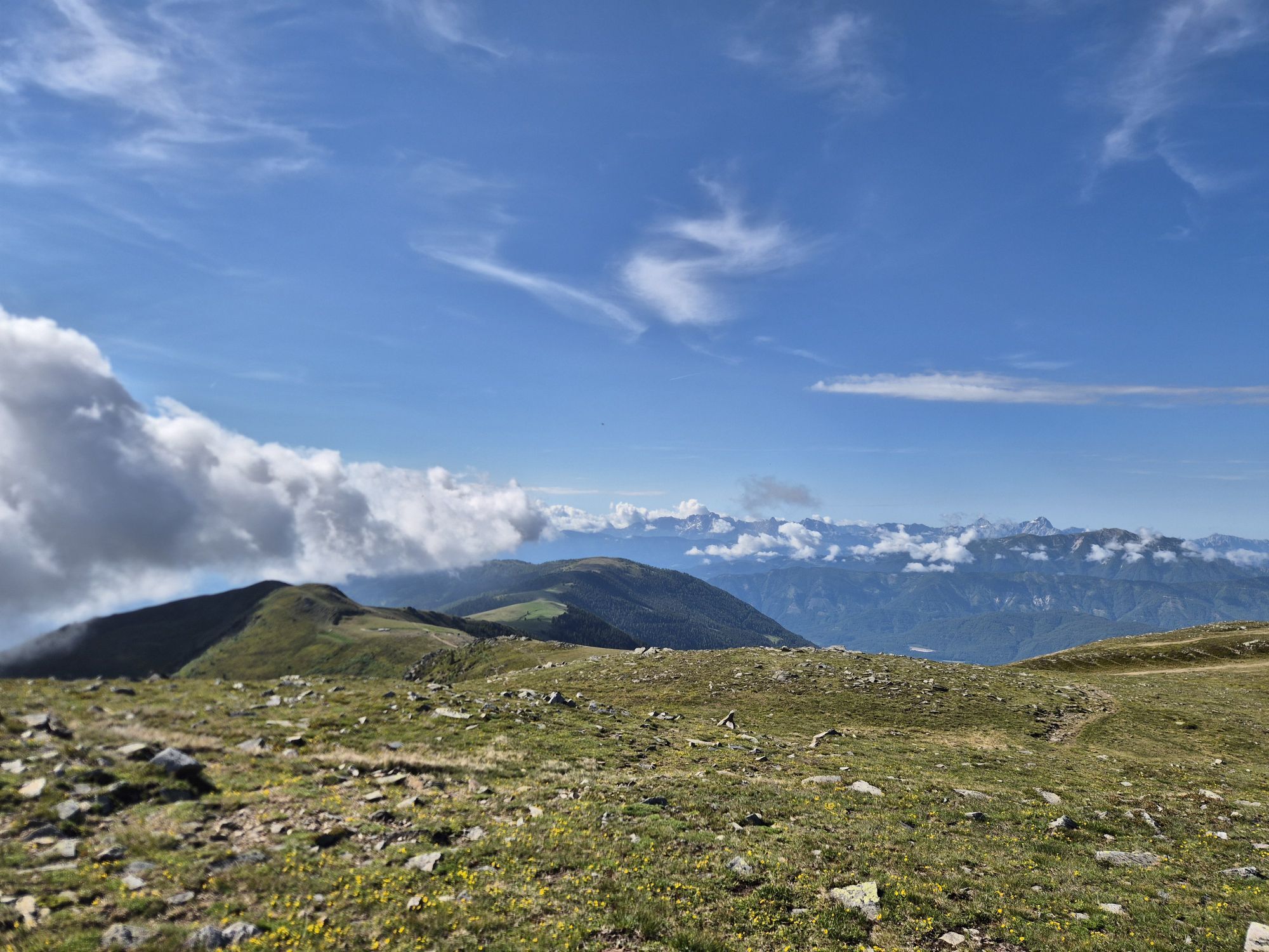
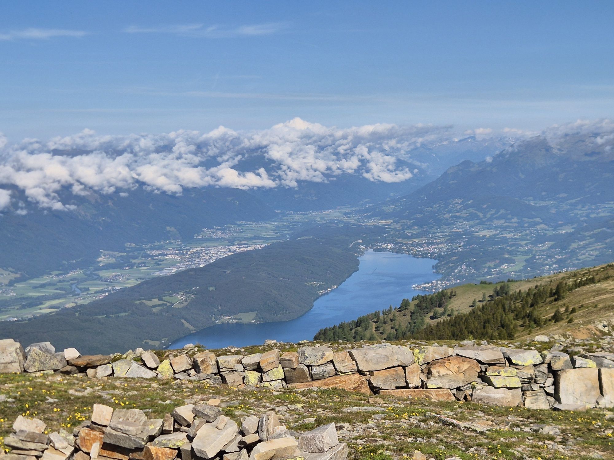
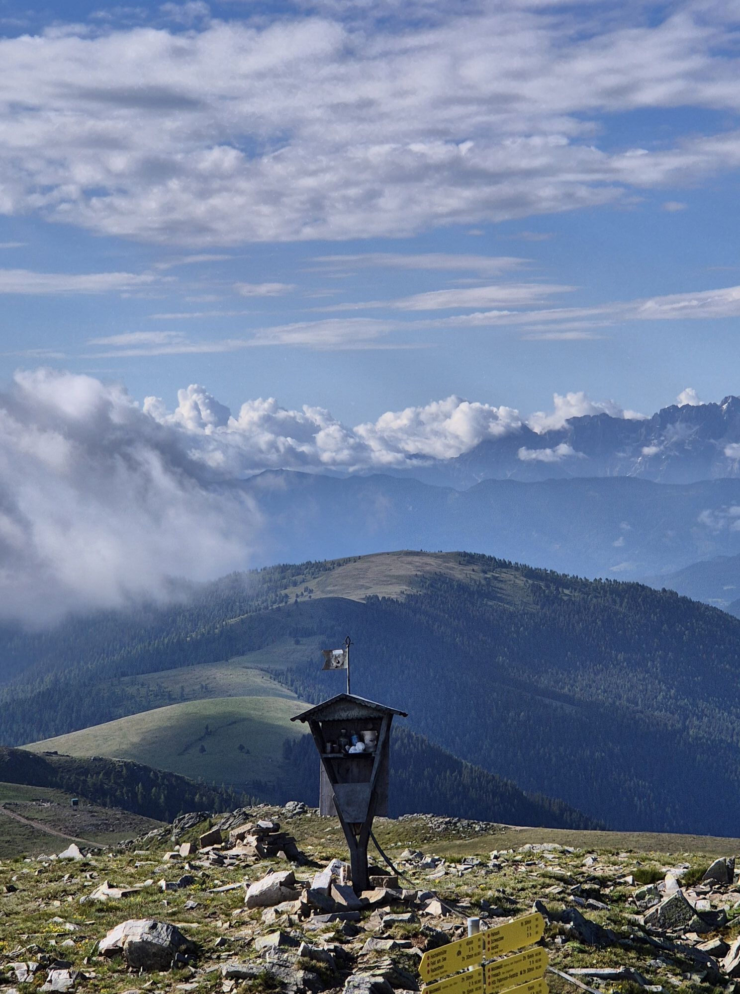
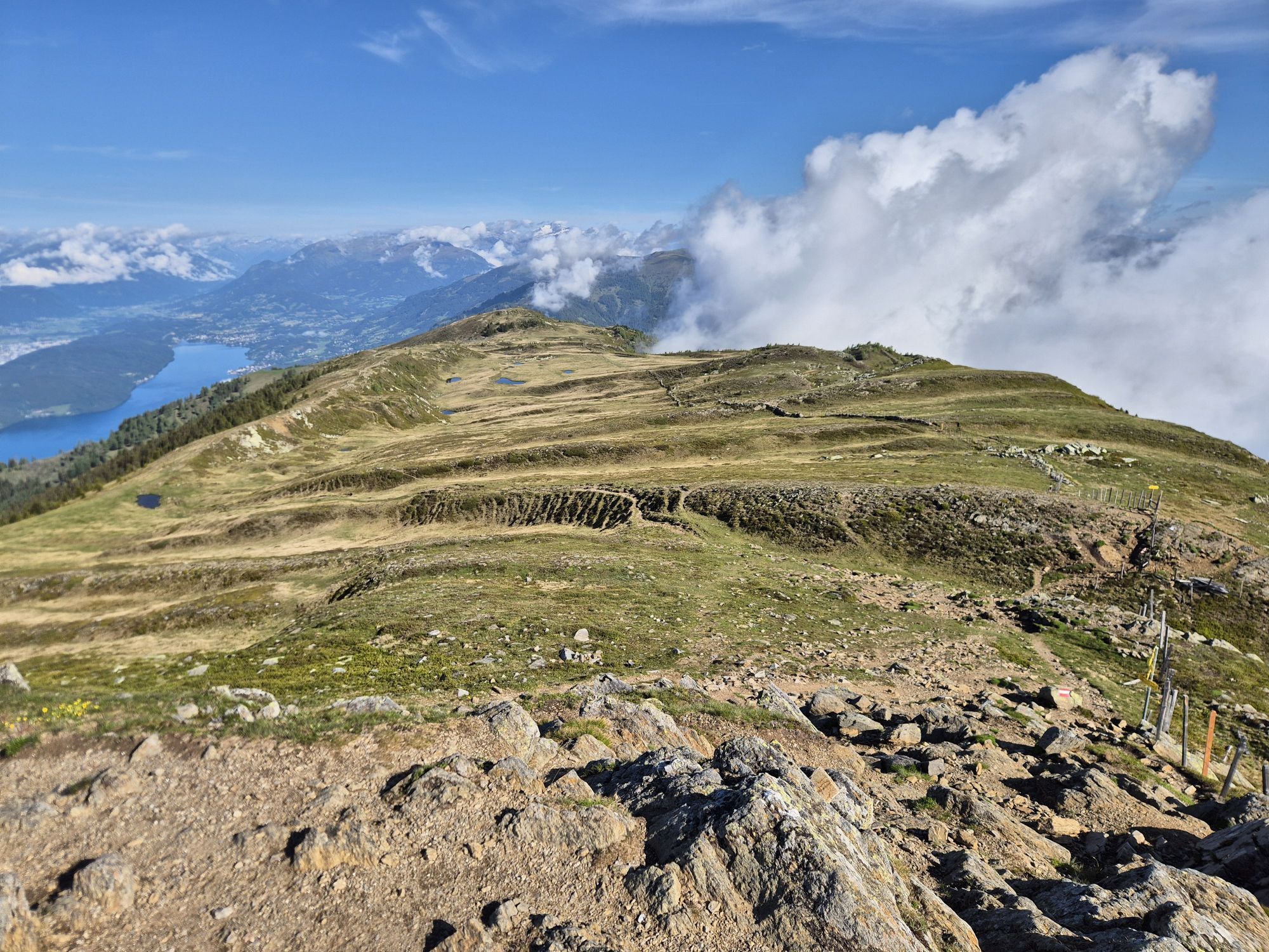
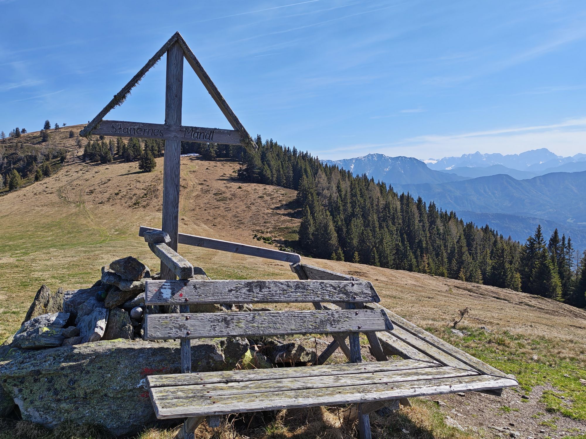
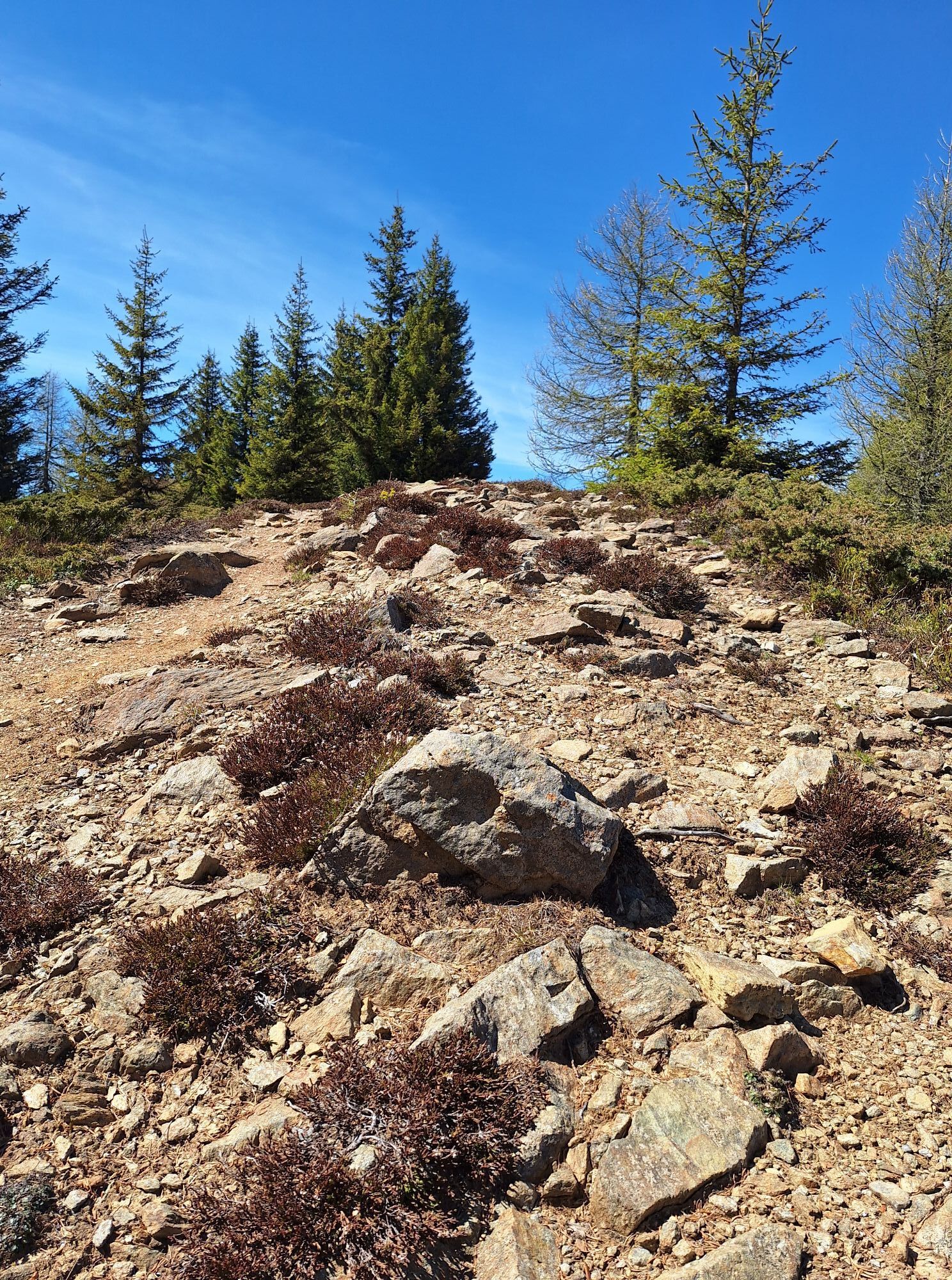
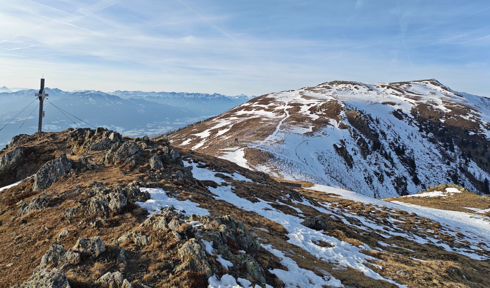
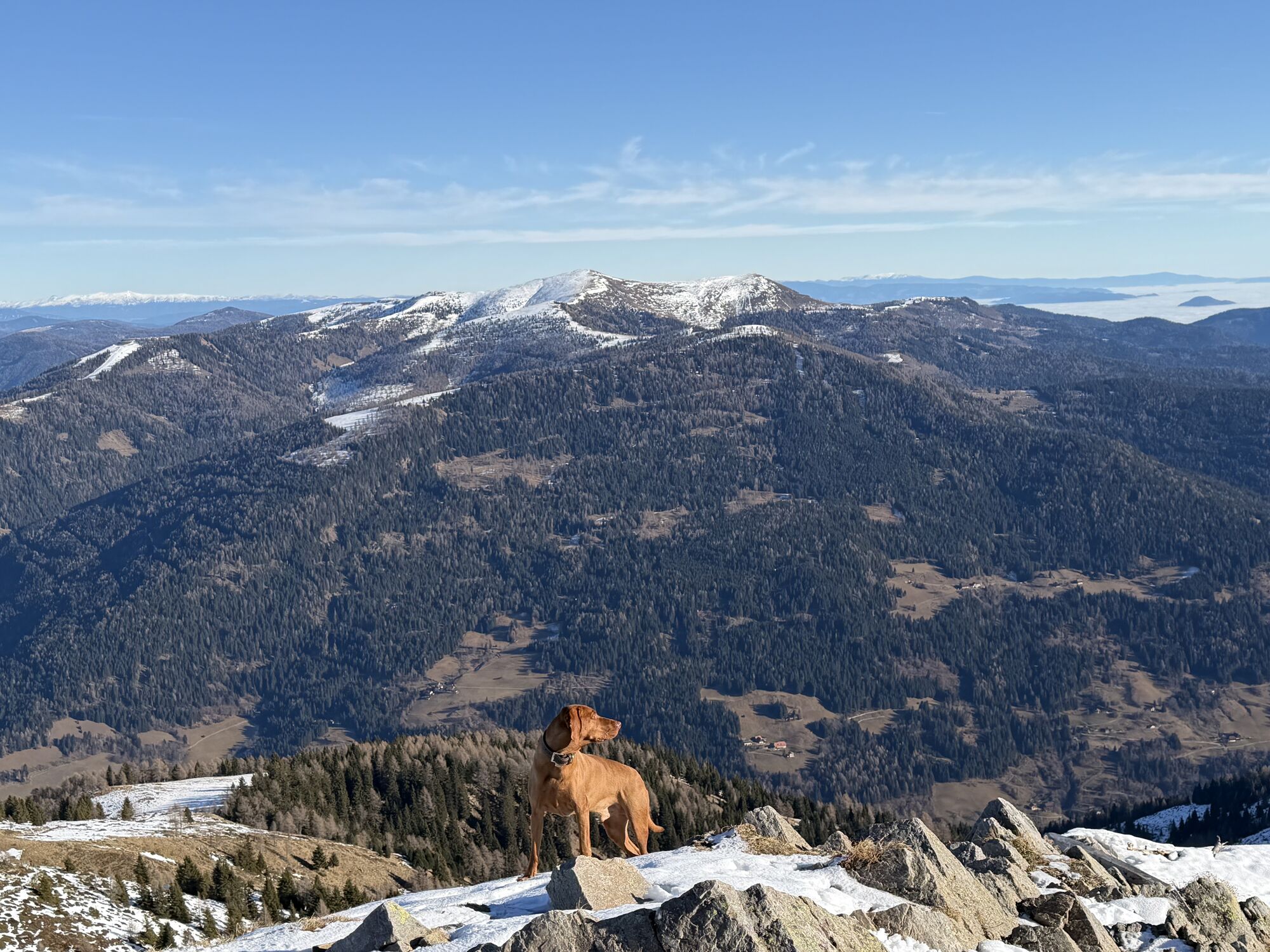
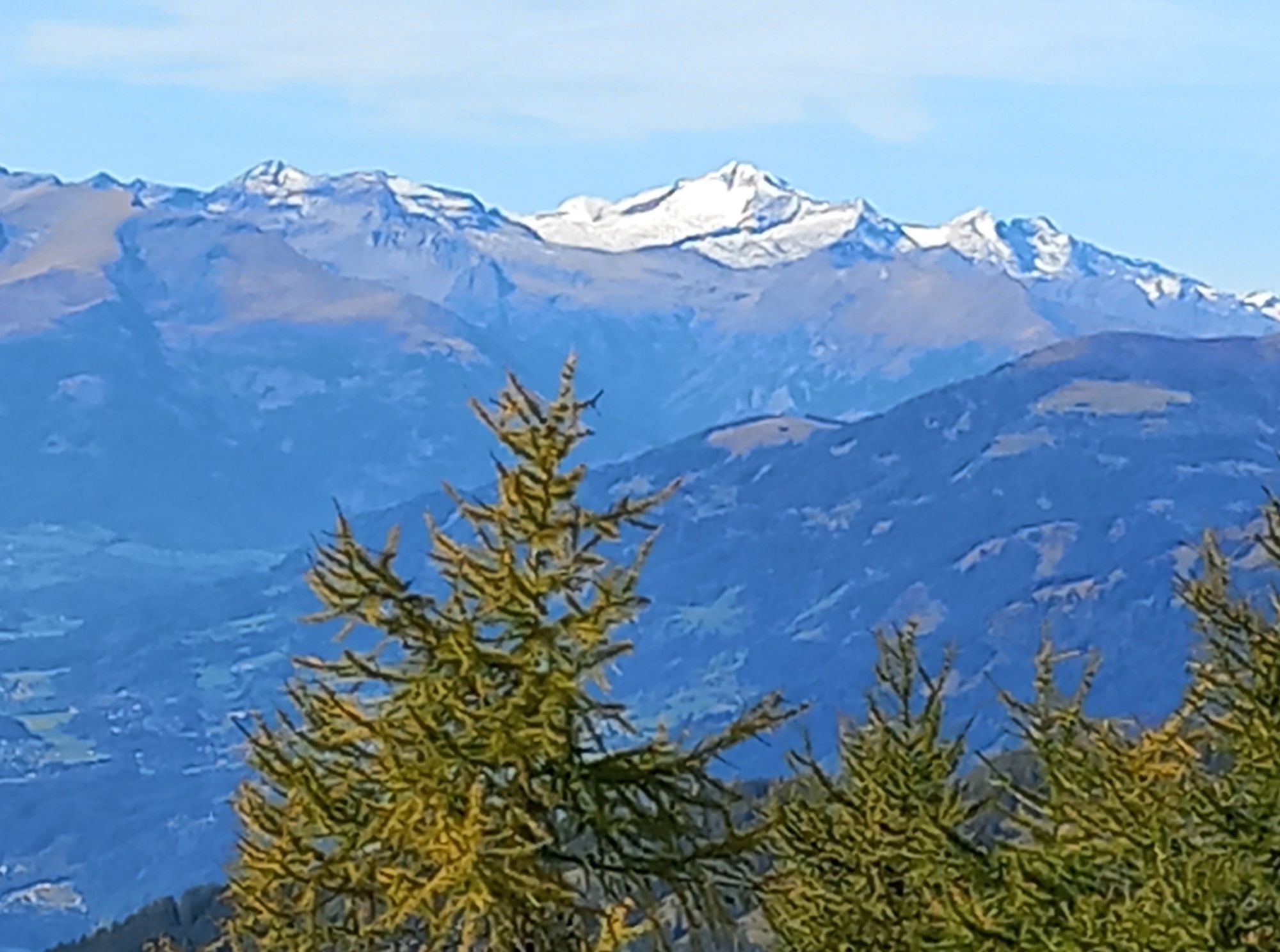
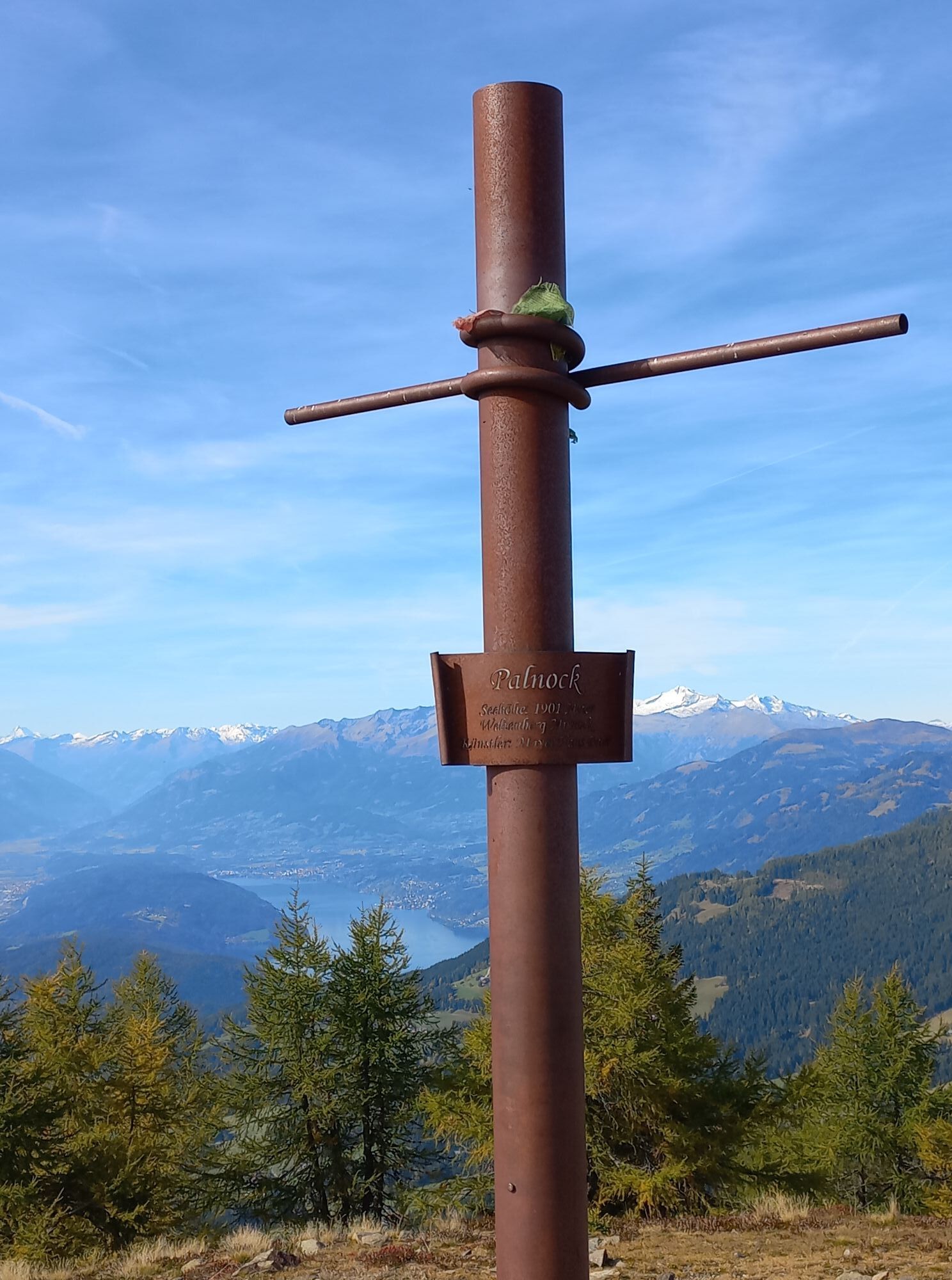
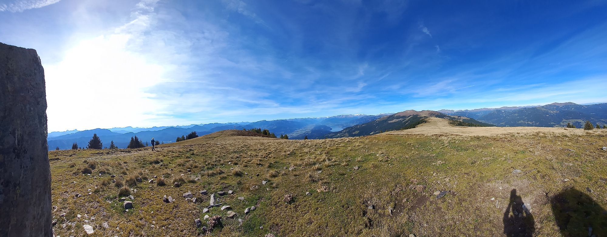
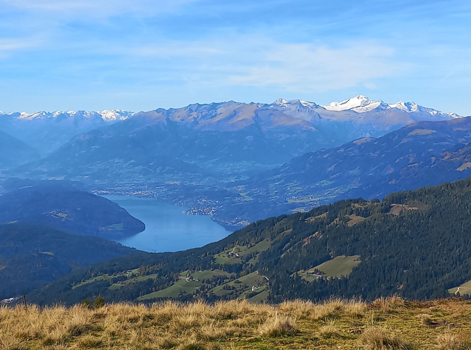
On the broad ridge, you let yourself drift over the gentle alpine meadows from Nock to Nock and are left amazed by the breathtaking panorama.
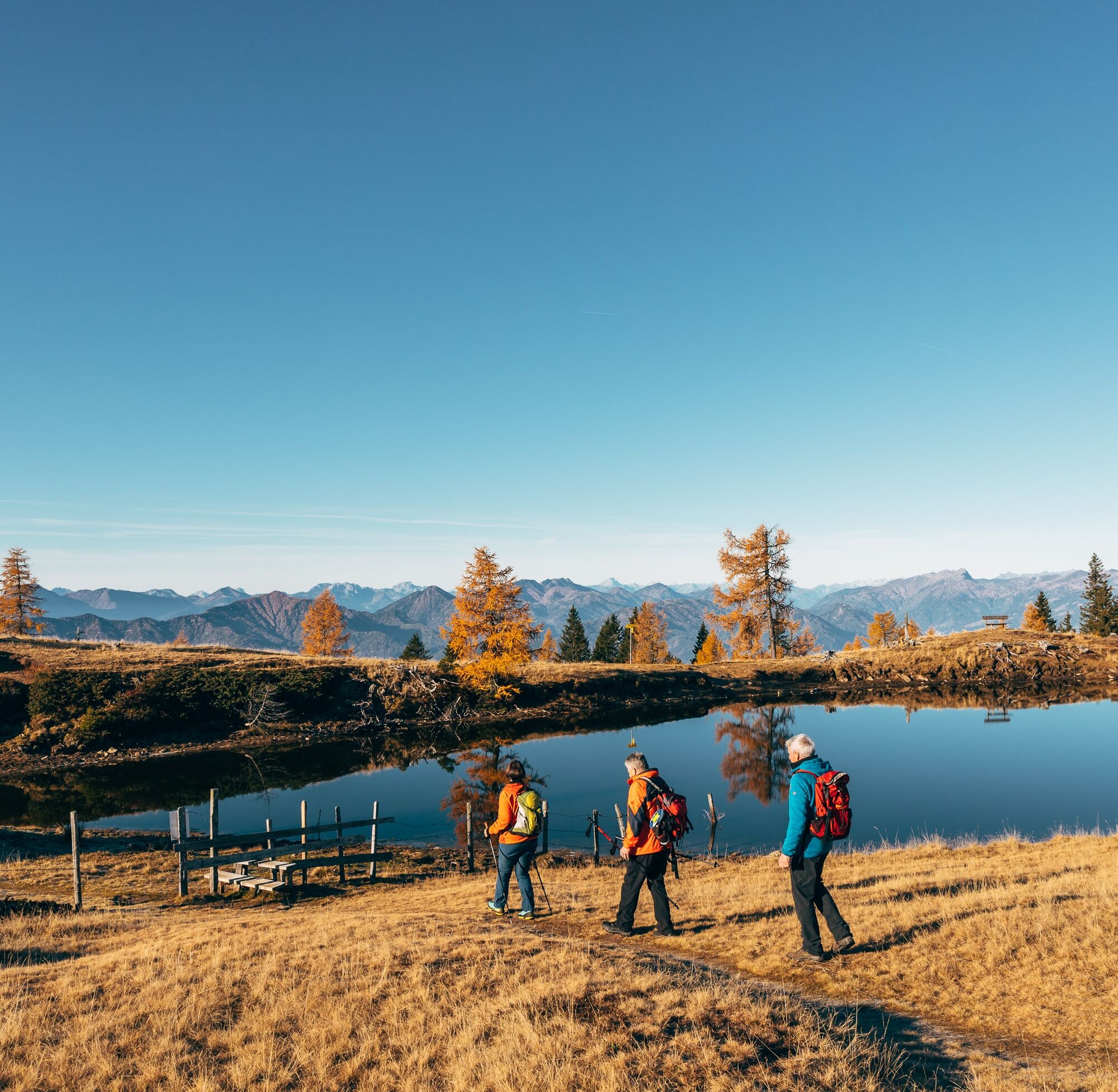
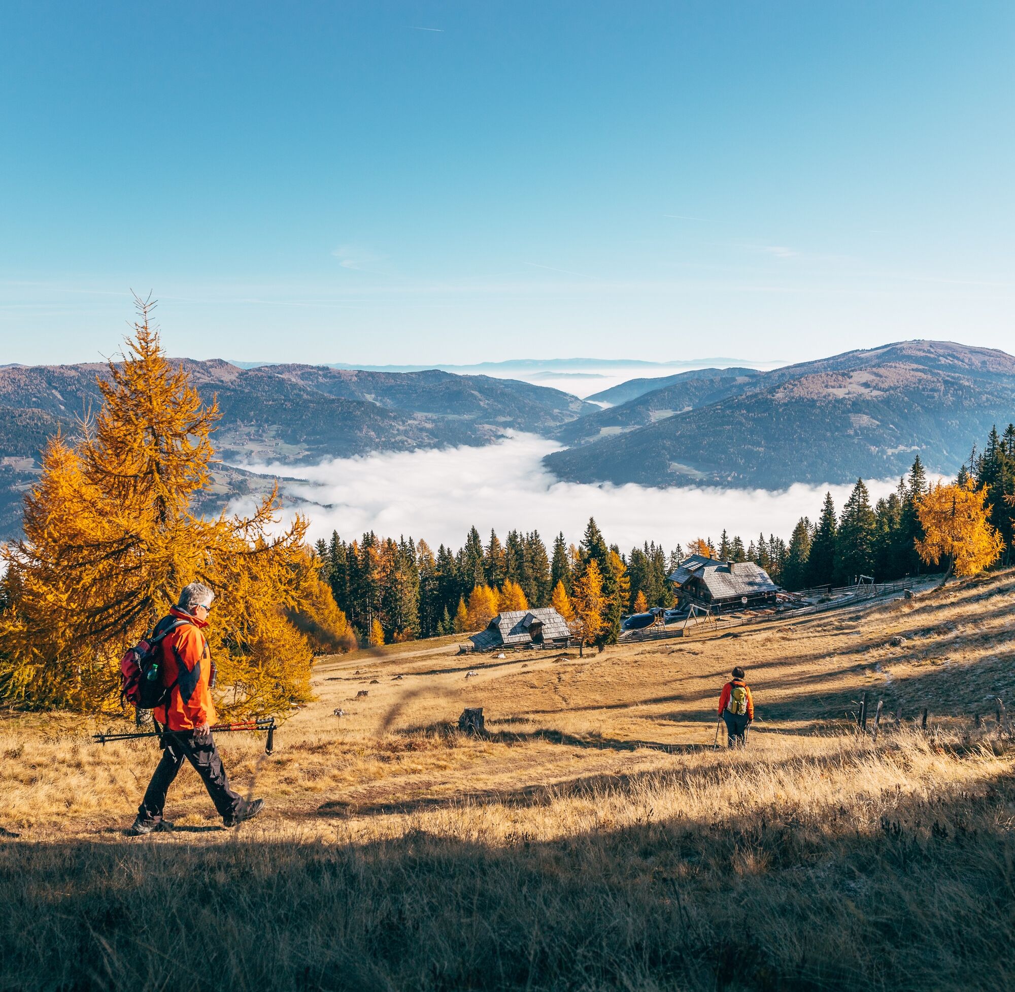
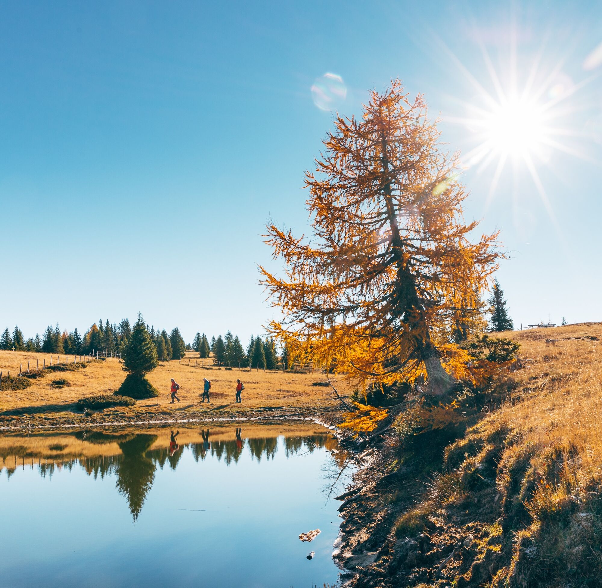
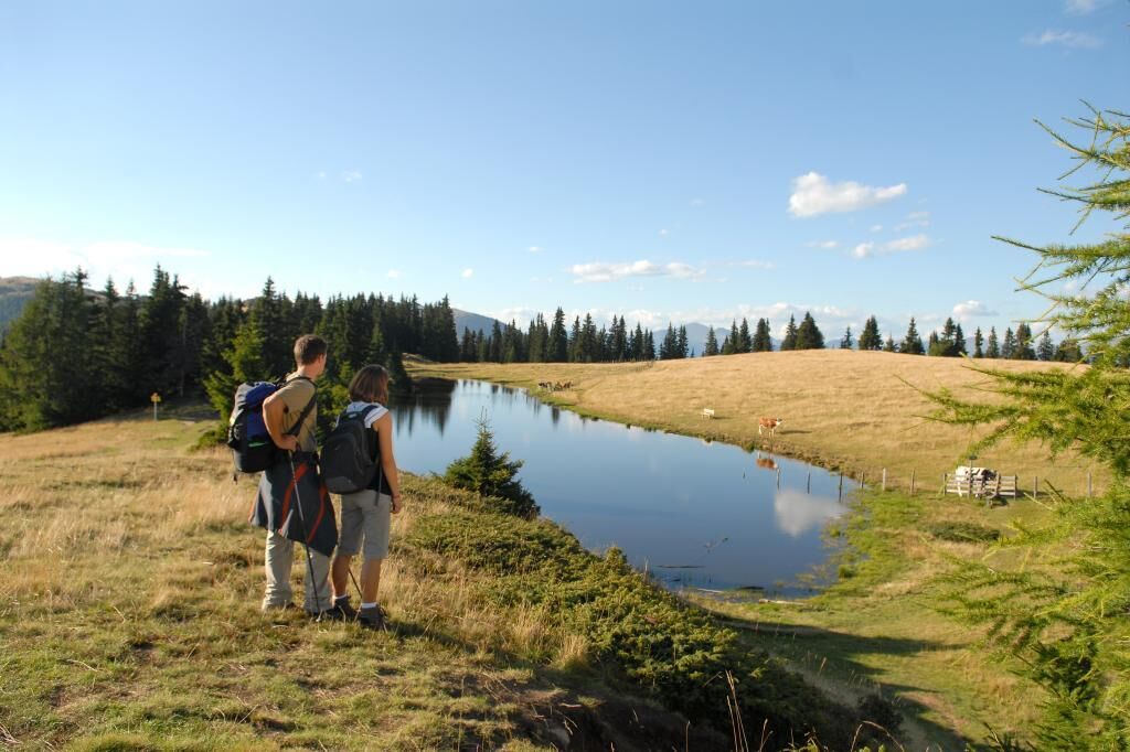
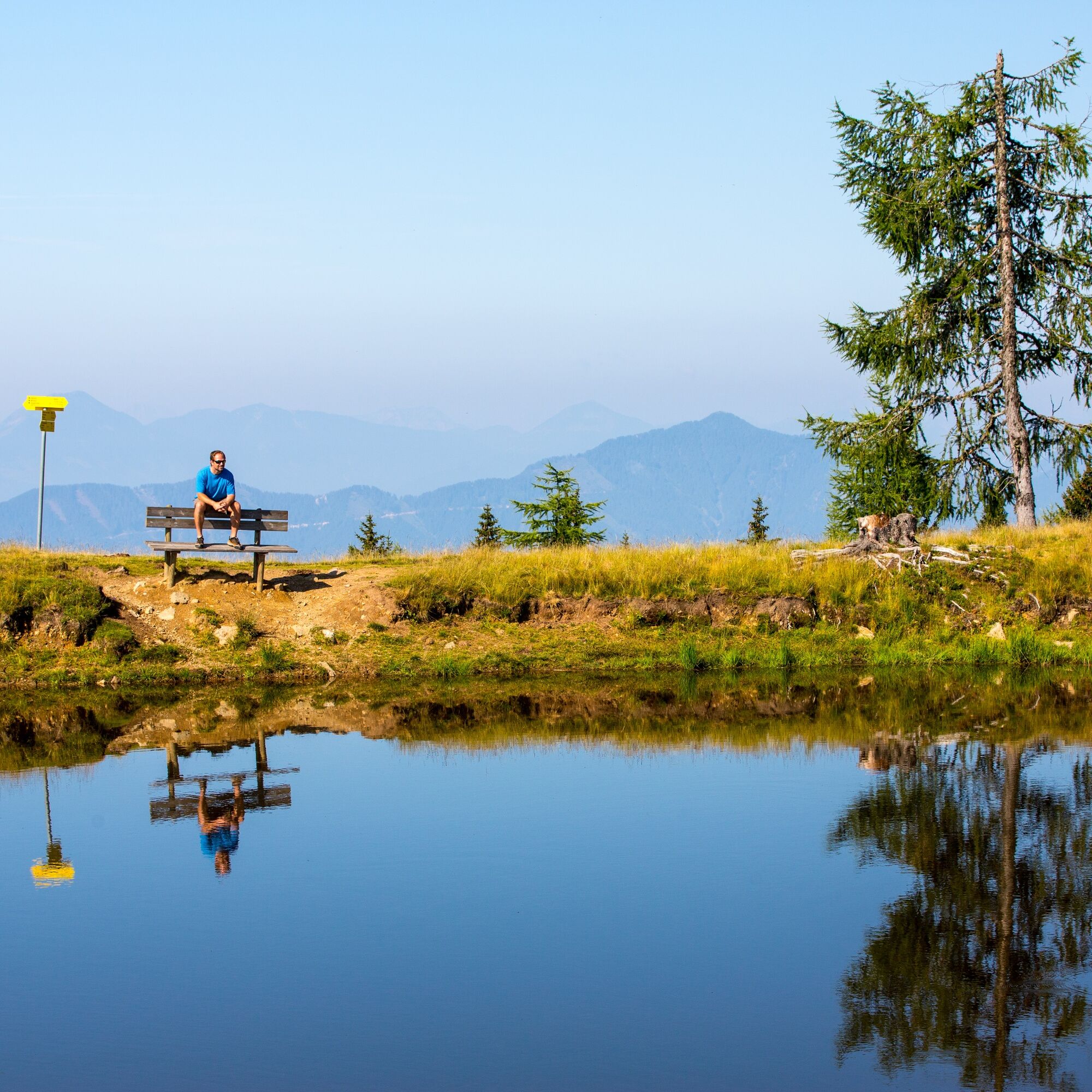
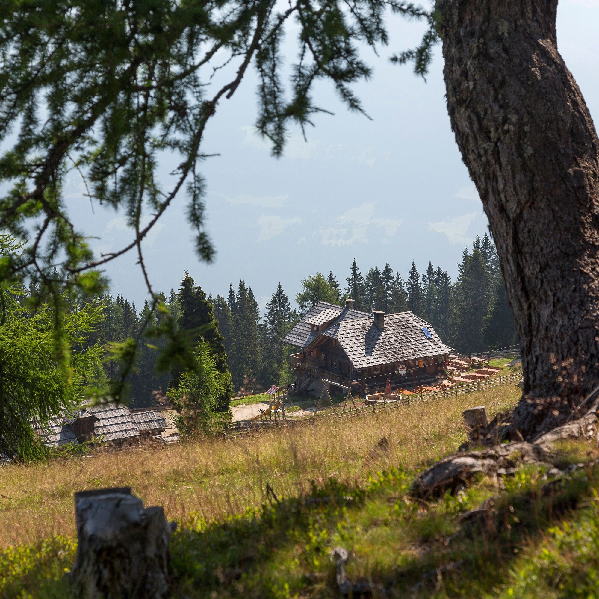
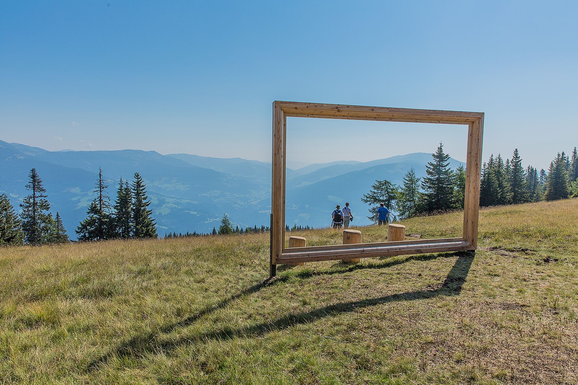

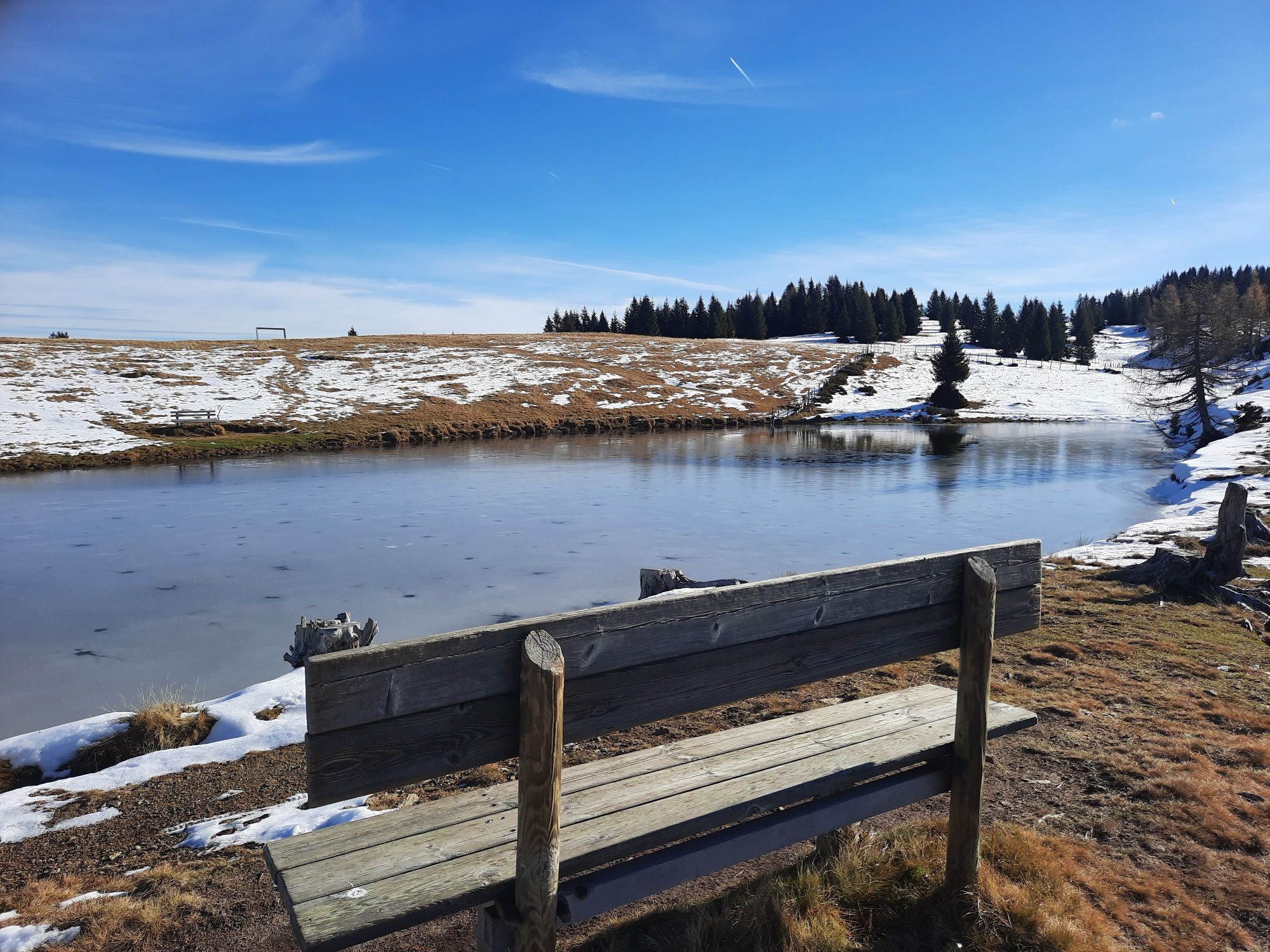
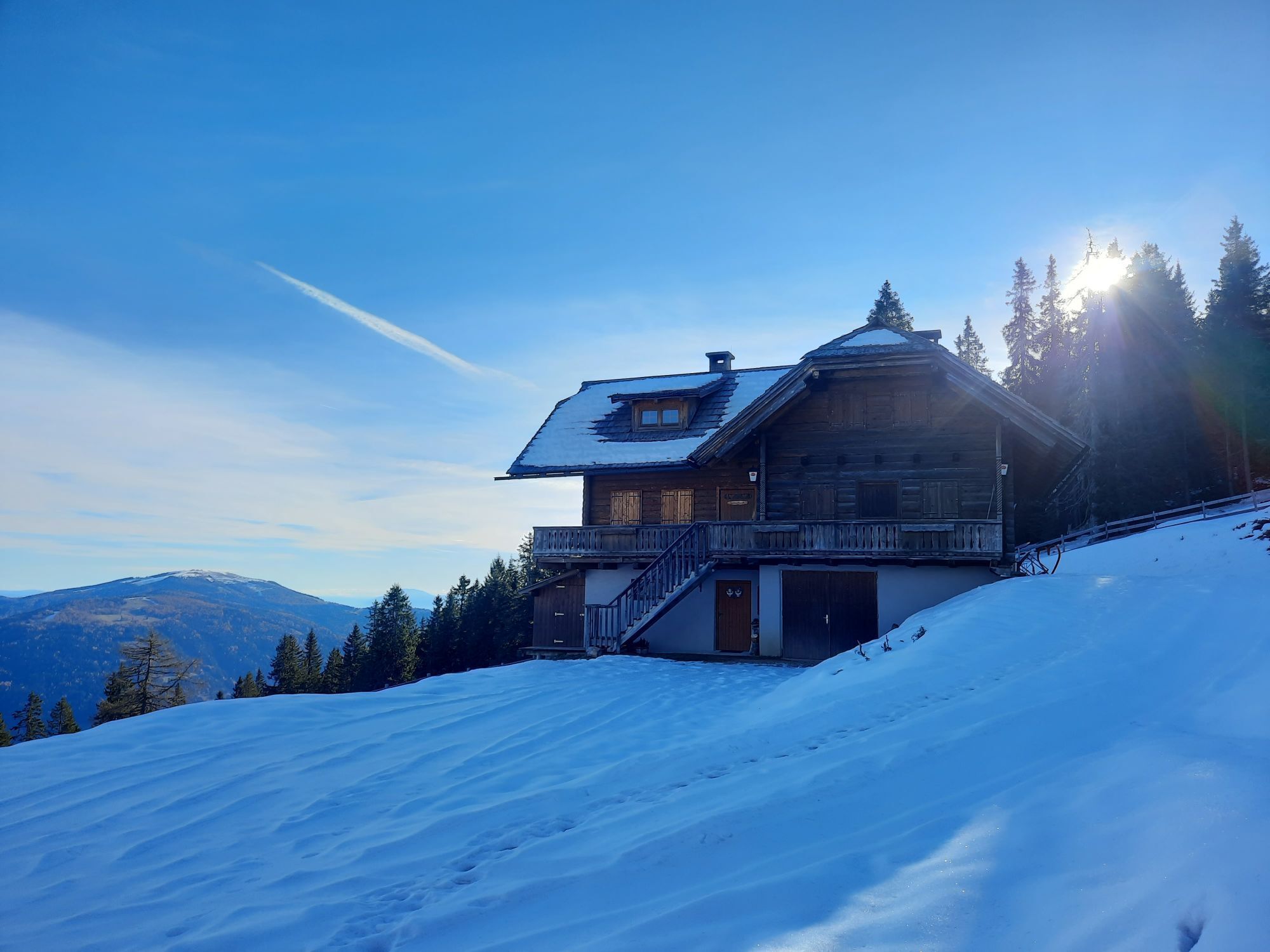
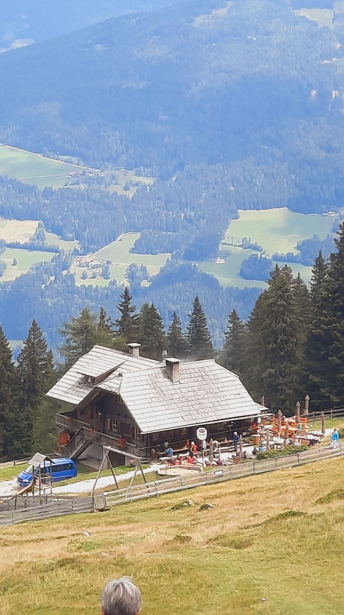
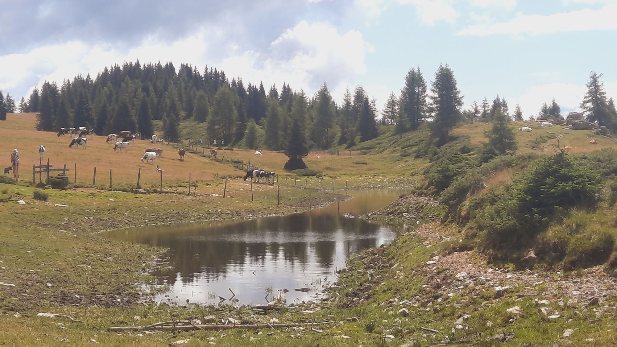
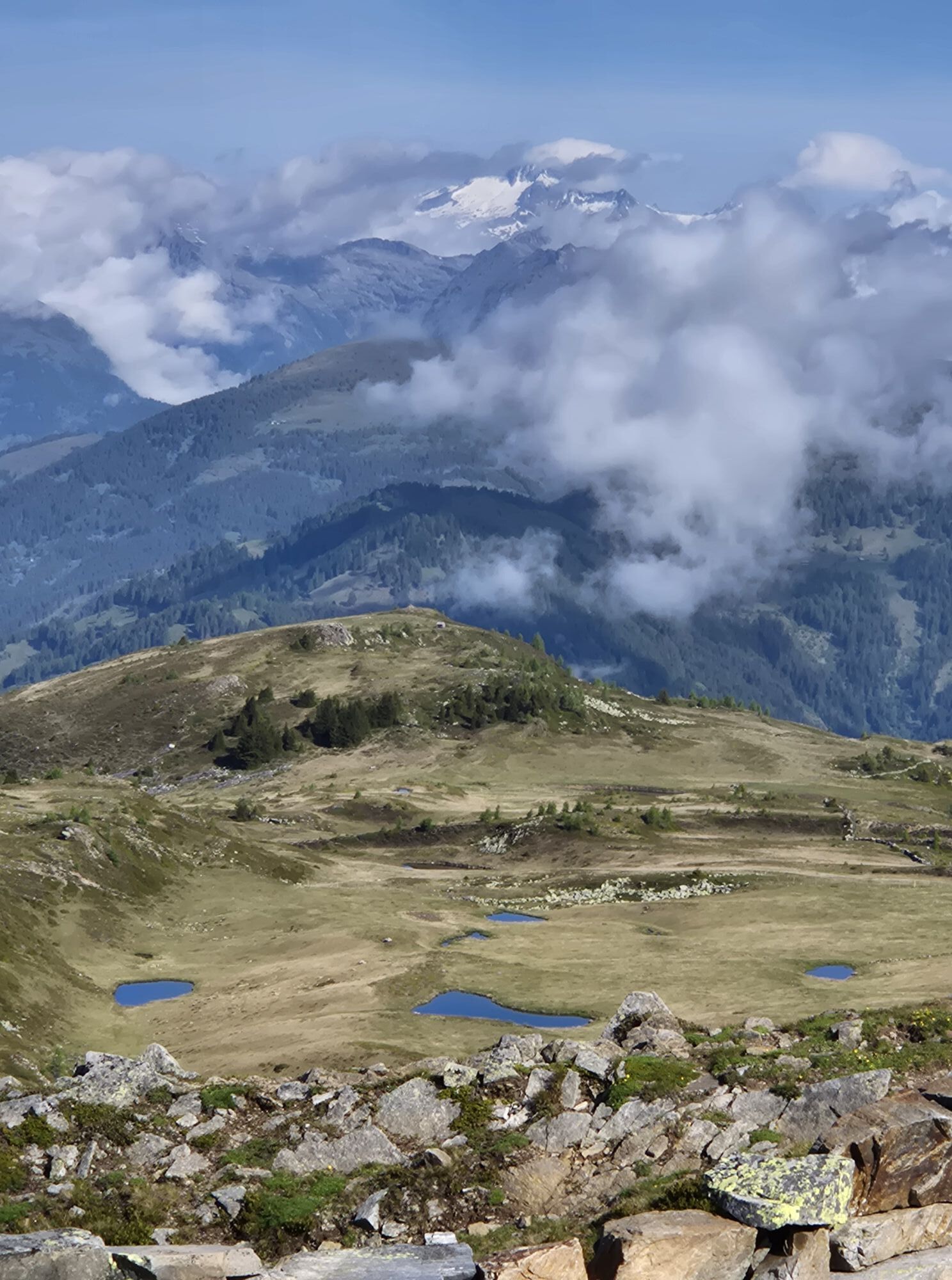
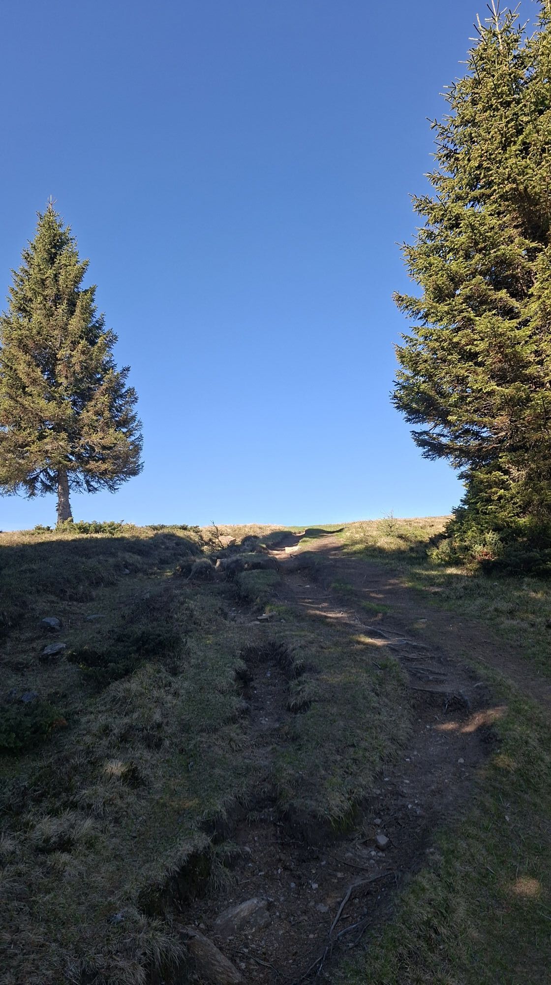
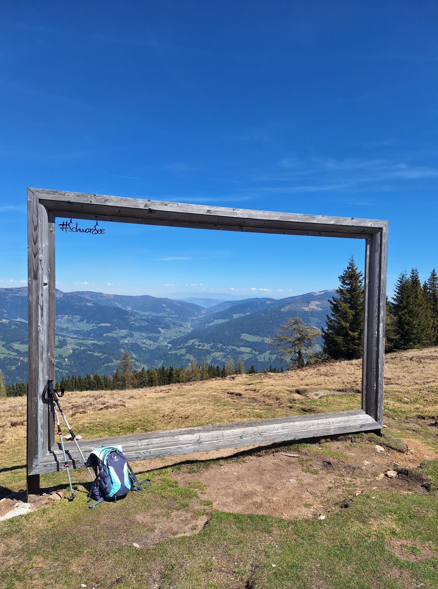
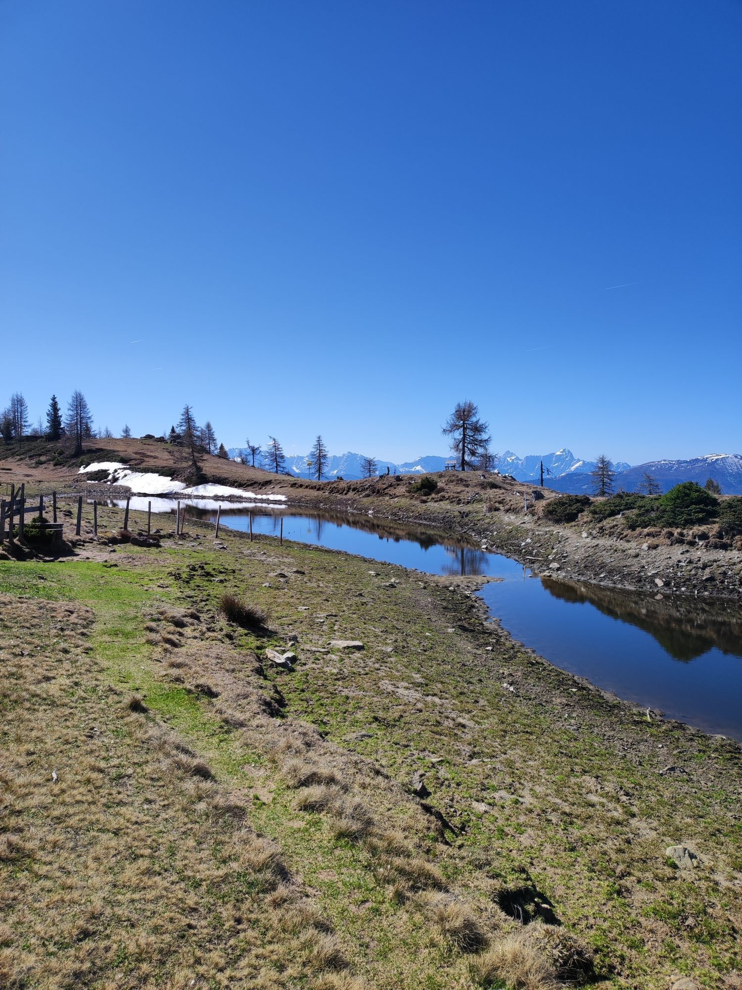
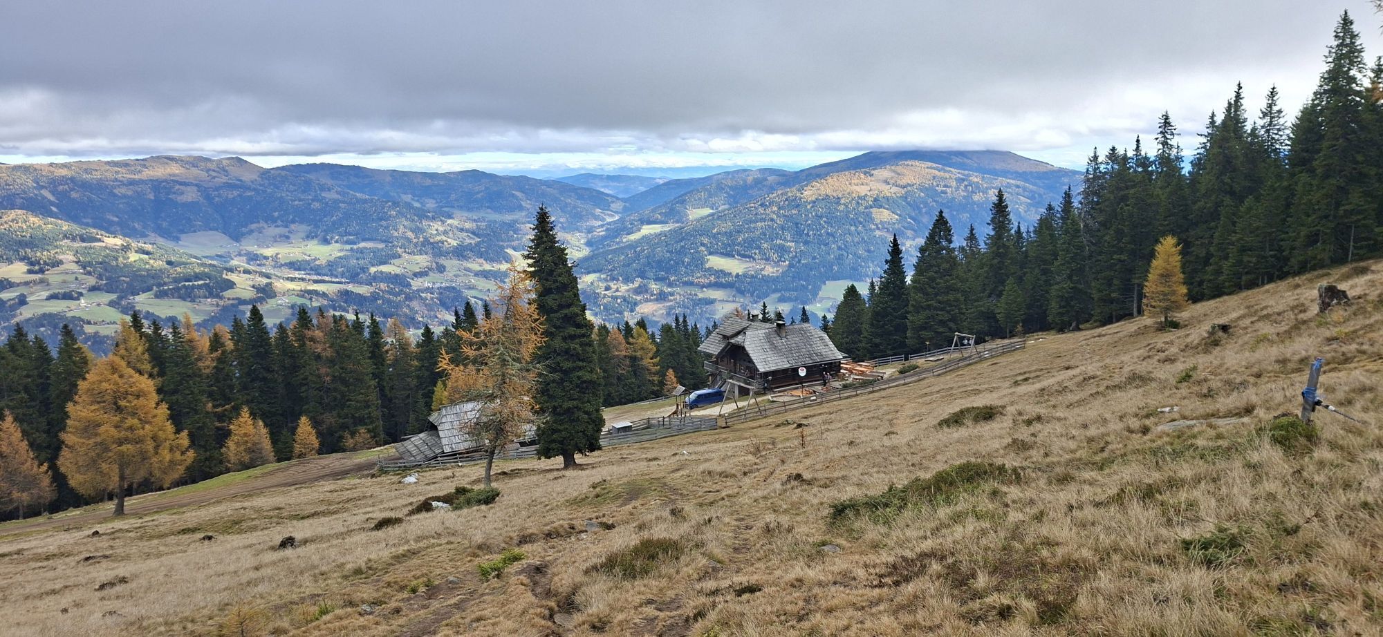
From the starting point Verditz - Lärchenboden, you hike on path no. 27 or 180 about 520 metres in elevation to the Schwarzsee hut (1750 m). After a short drinking break, it is only a few minutes' walk to the Schwarzsee at 1792 m with the landscape picture frame that surrounds the person, nature, and the moment. Following the path (no. 29 or 180) northwest, you pass a small pond in front of the Friesneralpe.
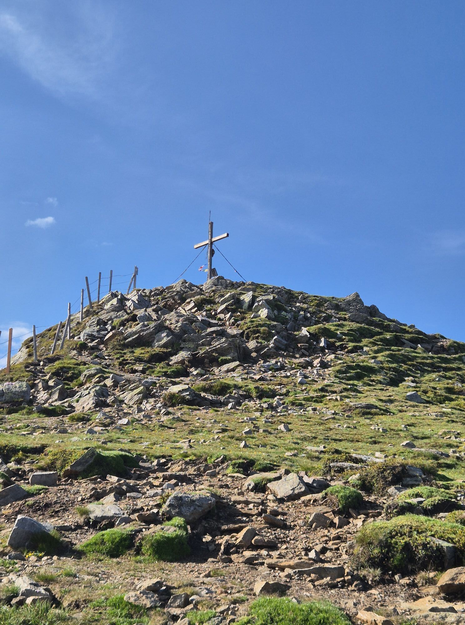
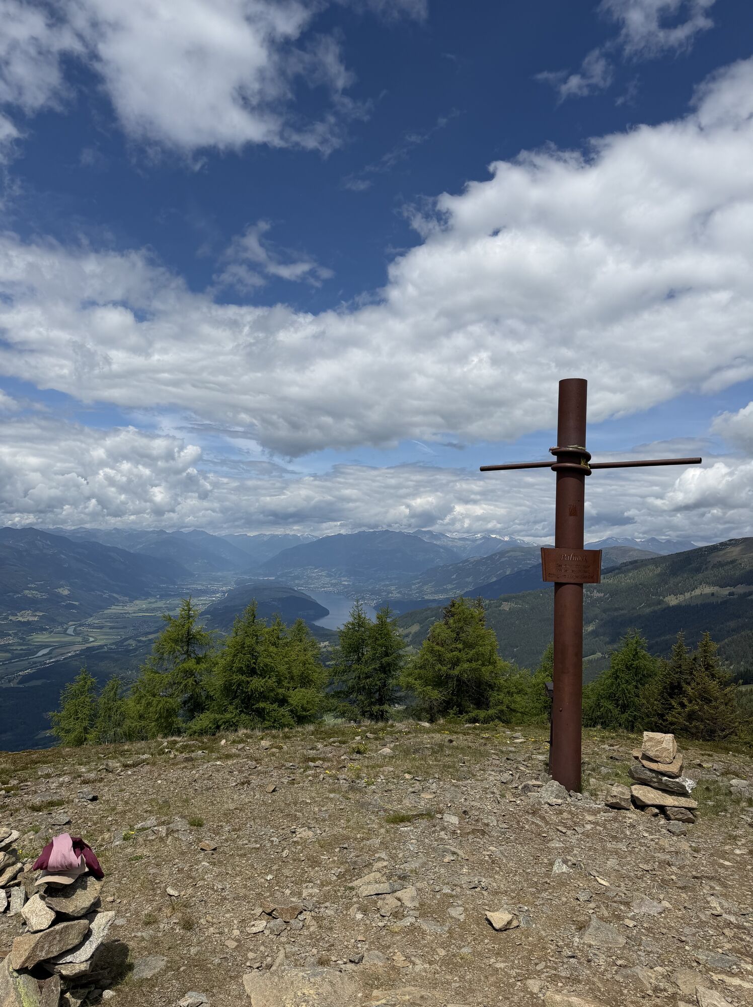
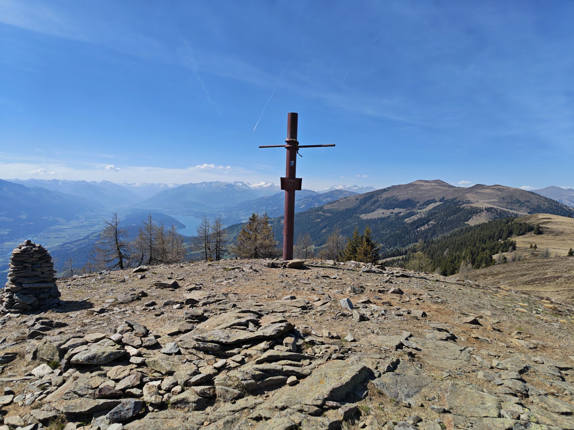
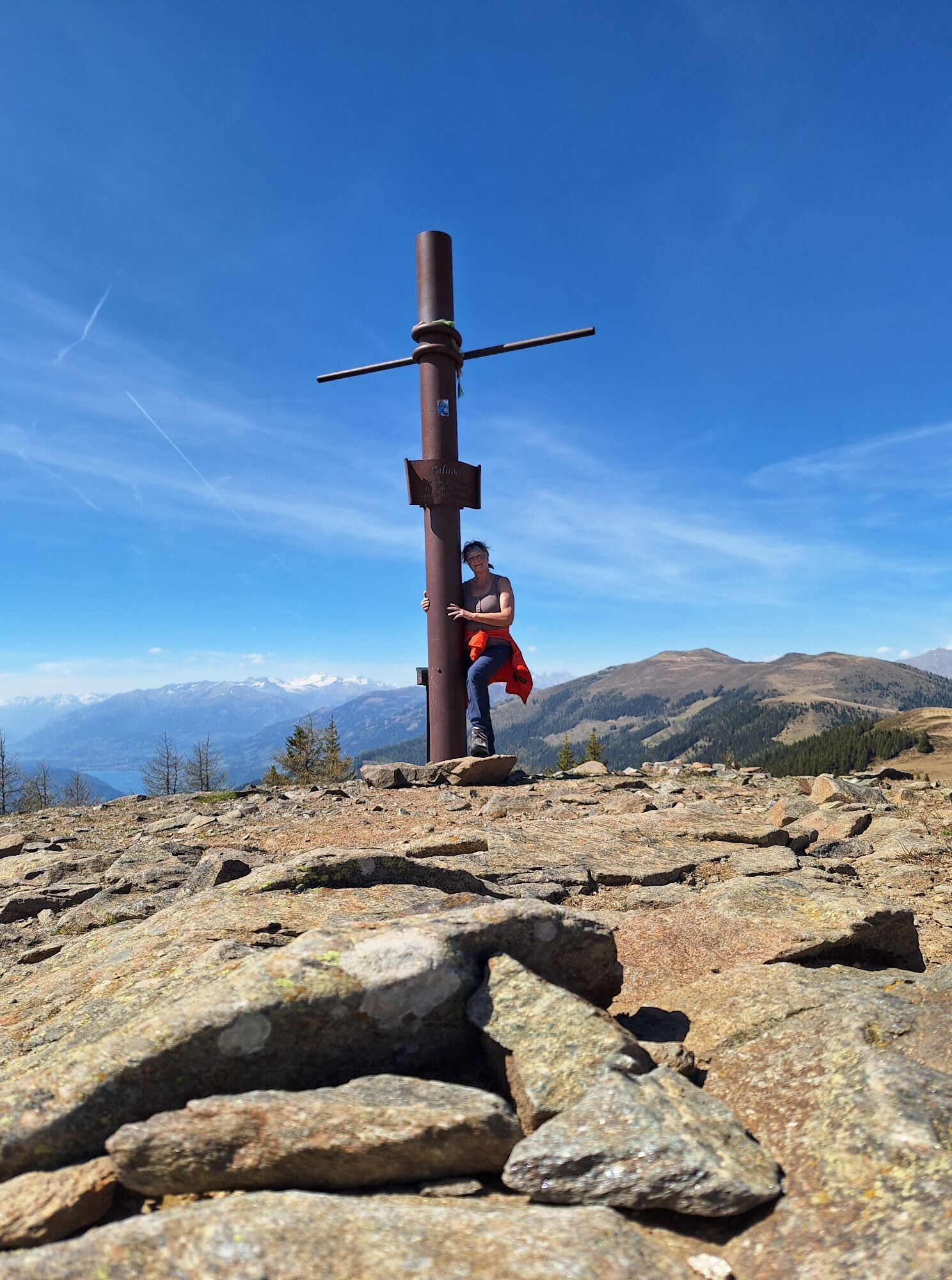
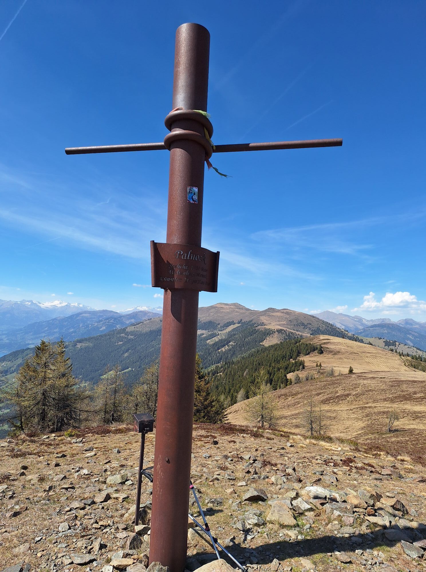
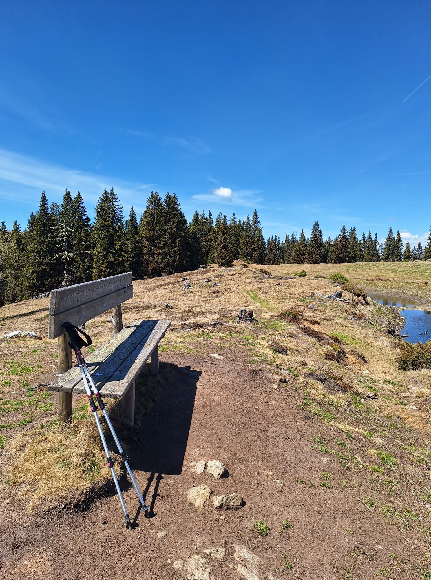
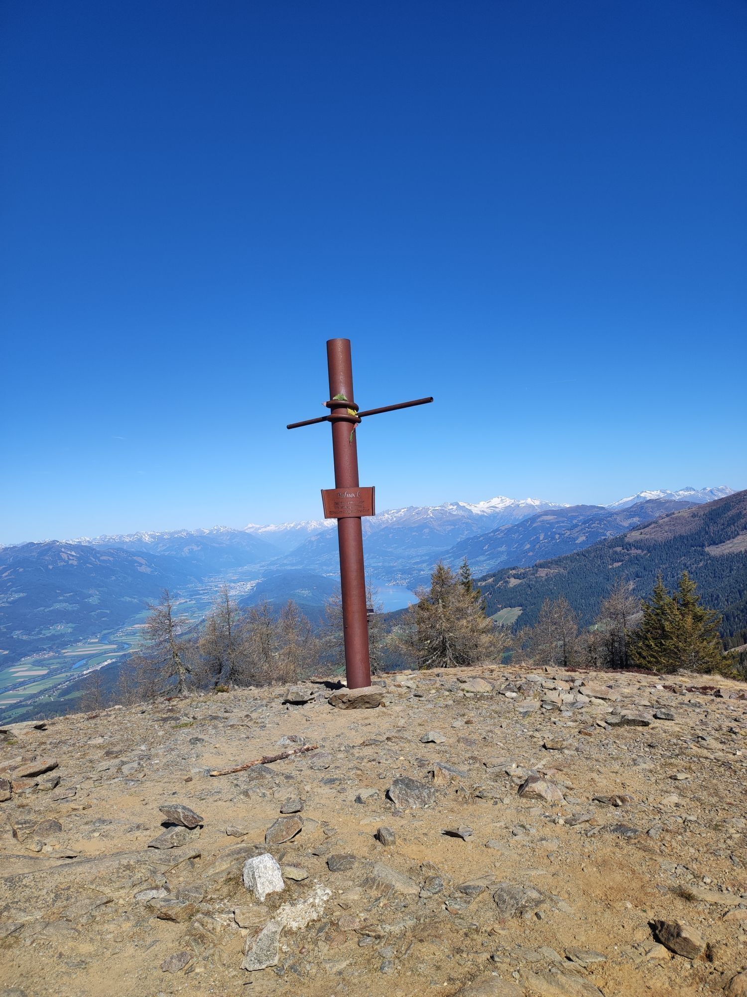
These small lakes are lovingly called "Tears of God." According to the legend, the Creator, moved by joy at the beauty of the landscape, shed tears over this piece of earth, which now cool the feet of the hikers. Over the Friesneralpe, you reach the Palnock (1901 m) by a gentle ascent. Those with stamina problems or uncertain weather should turn back here.
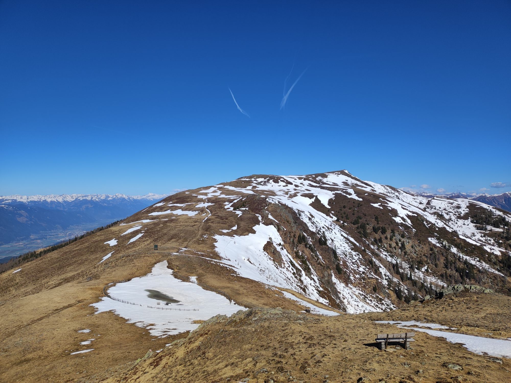
The further path leads downhill to about 1728 m, followed by the ascent to Lahnernock (1861 m) and Rindernock (2024 m). By now, the vastness of this hike is noticeable, but the Mirnock is already within reach.
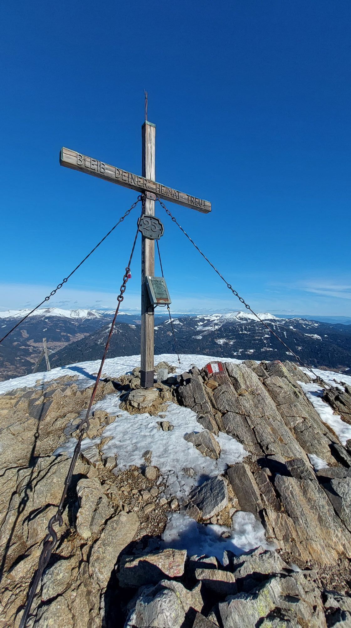
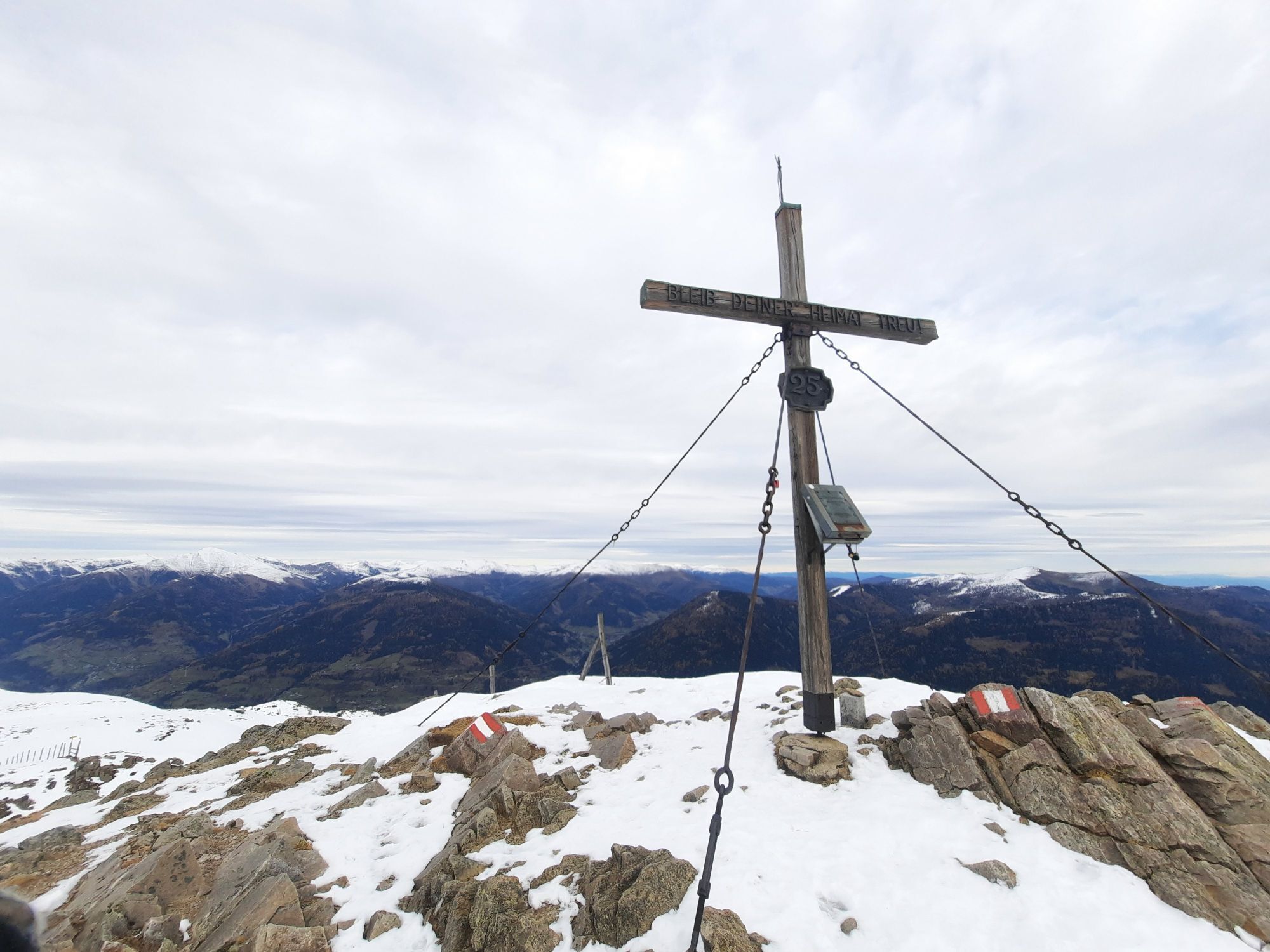
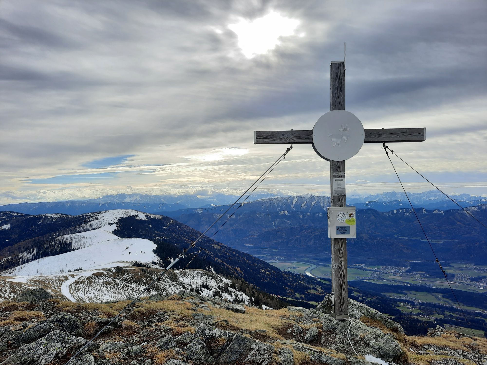
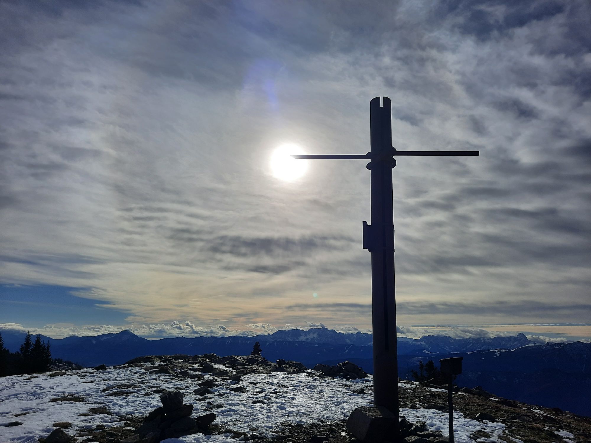
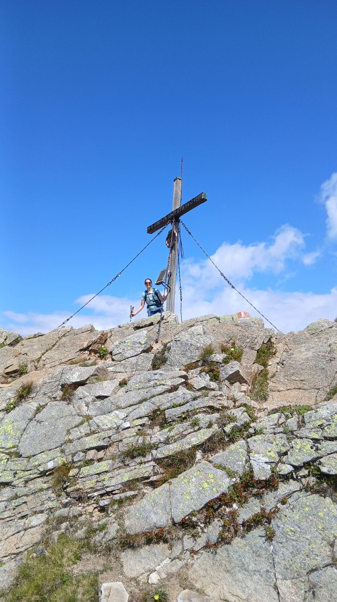
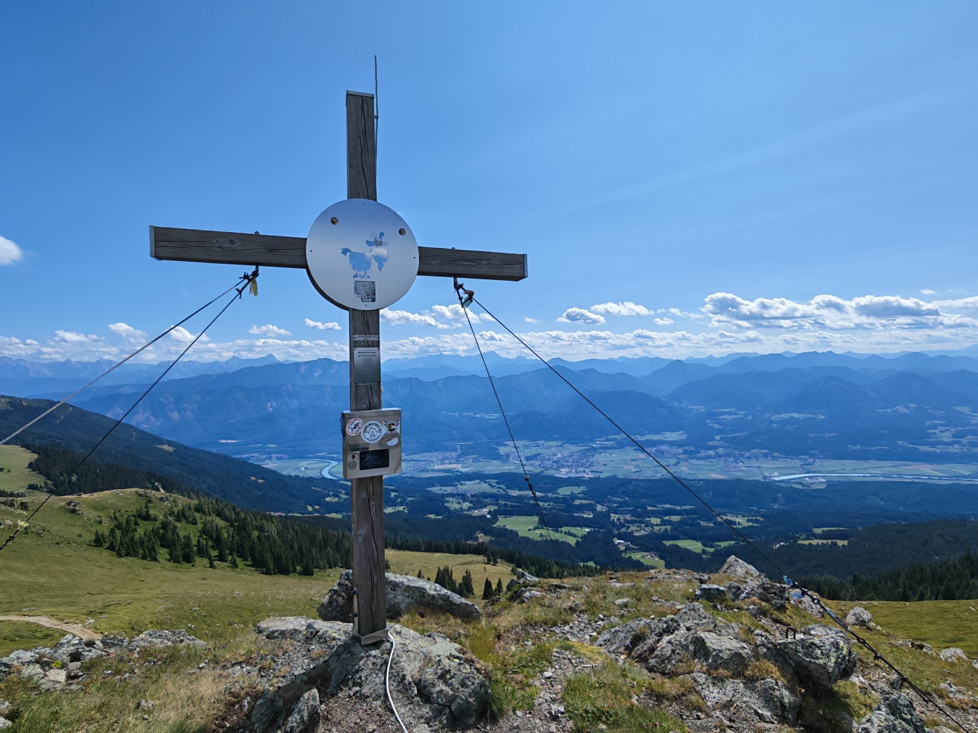
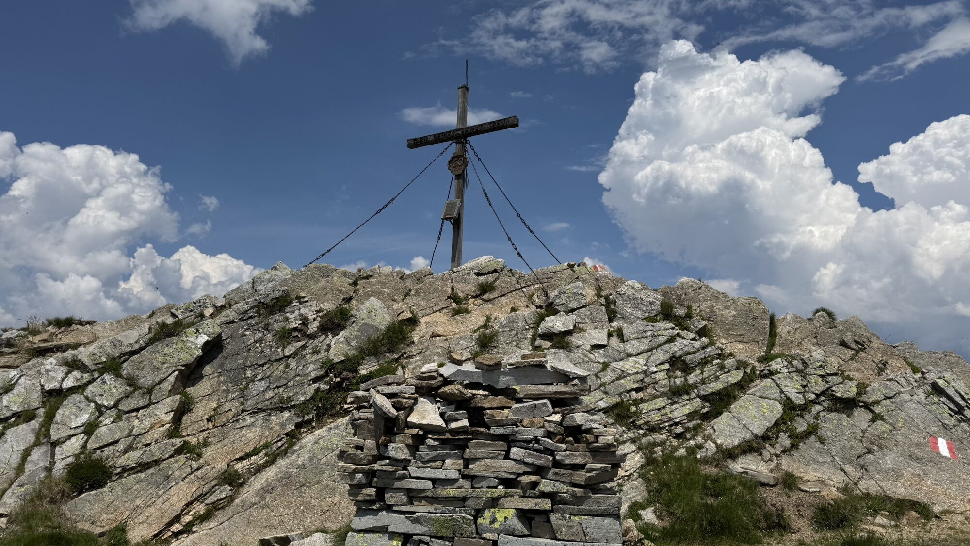
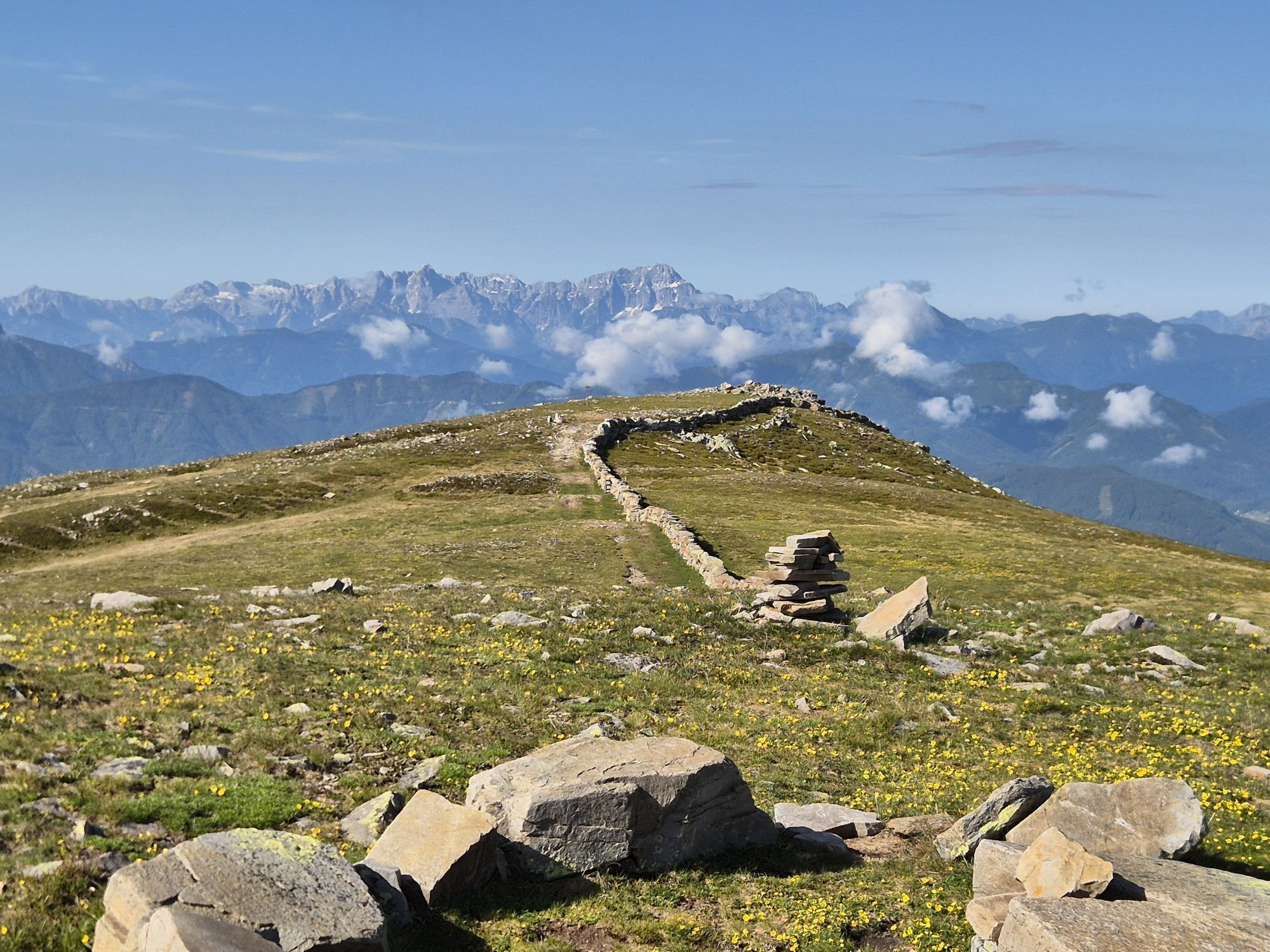
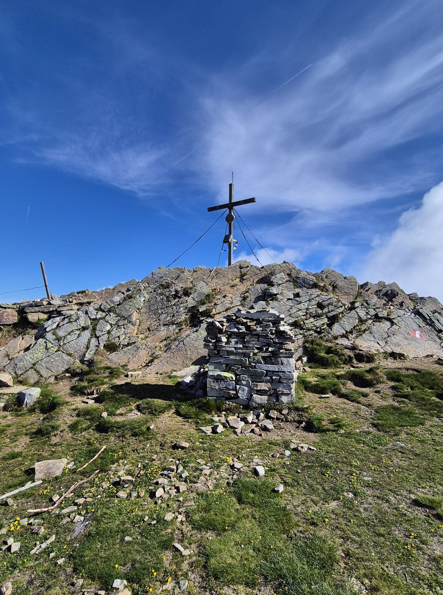
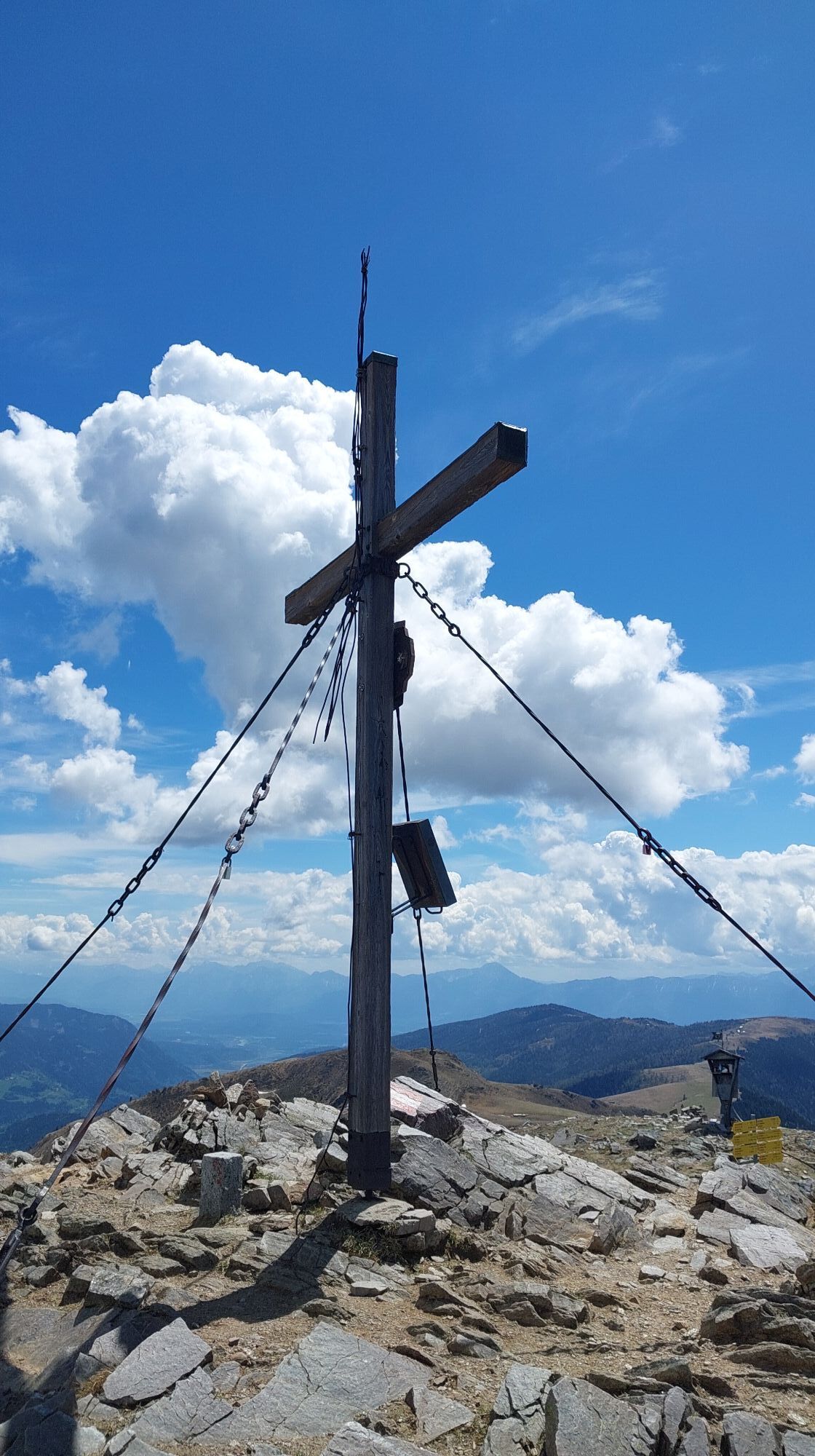
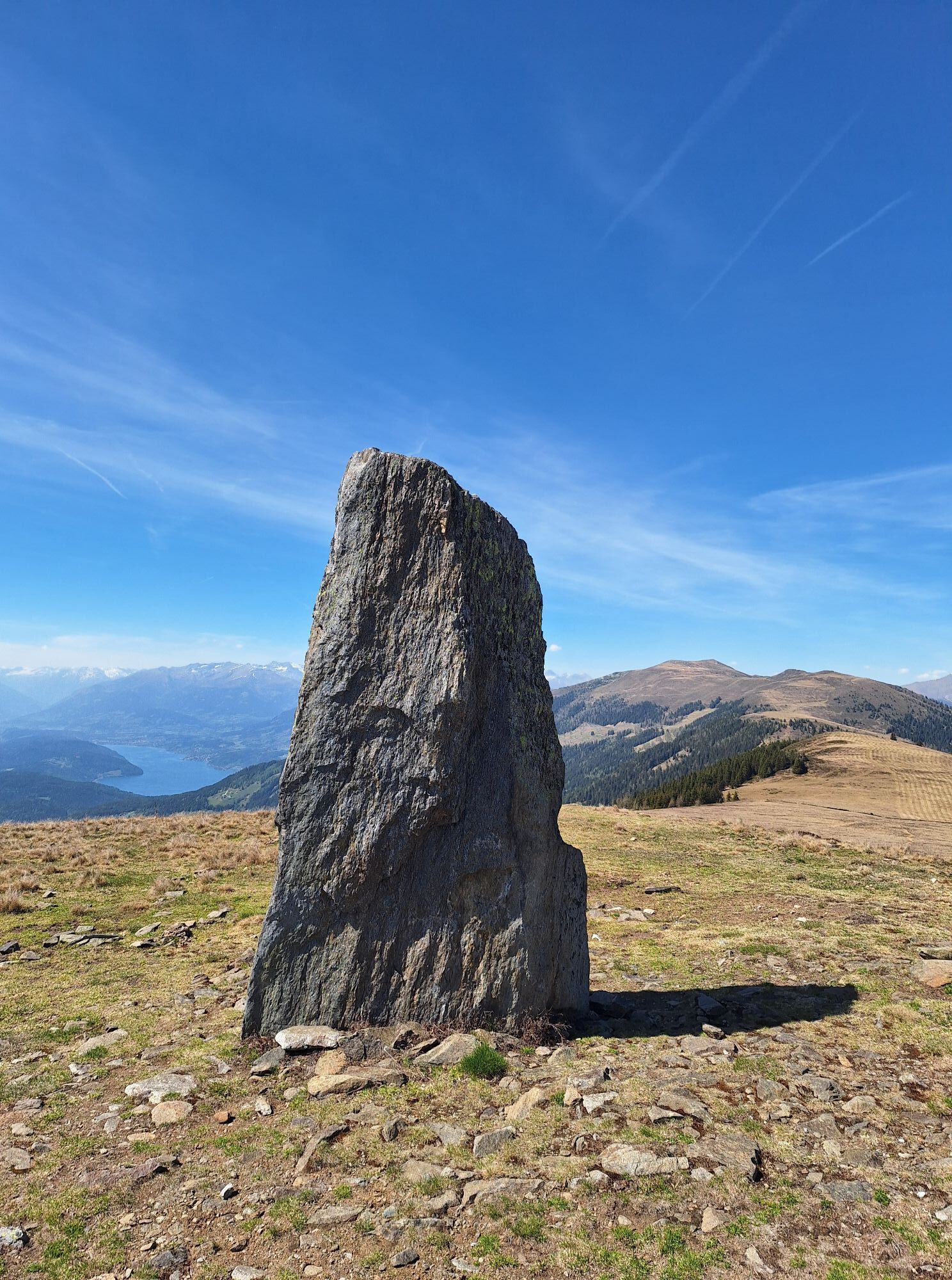
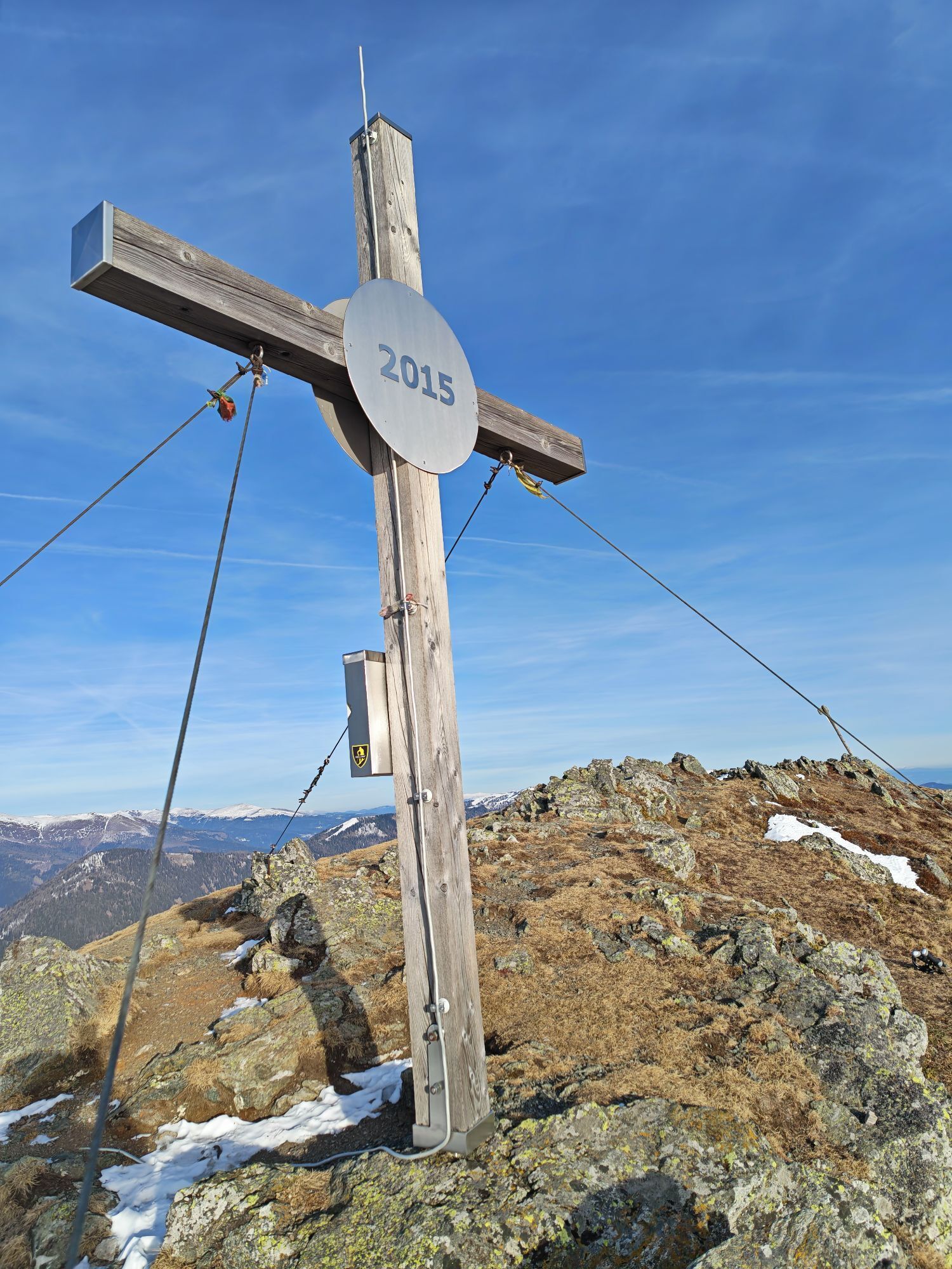
From the Rindernock, it is about 100 metres in elevation to the summit of Mirnock (2110 m) with countless stone cairns, stone walls, power stones, and resting places.
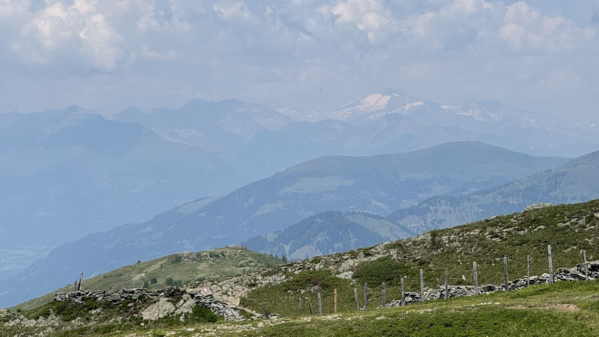
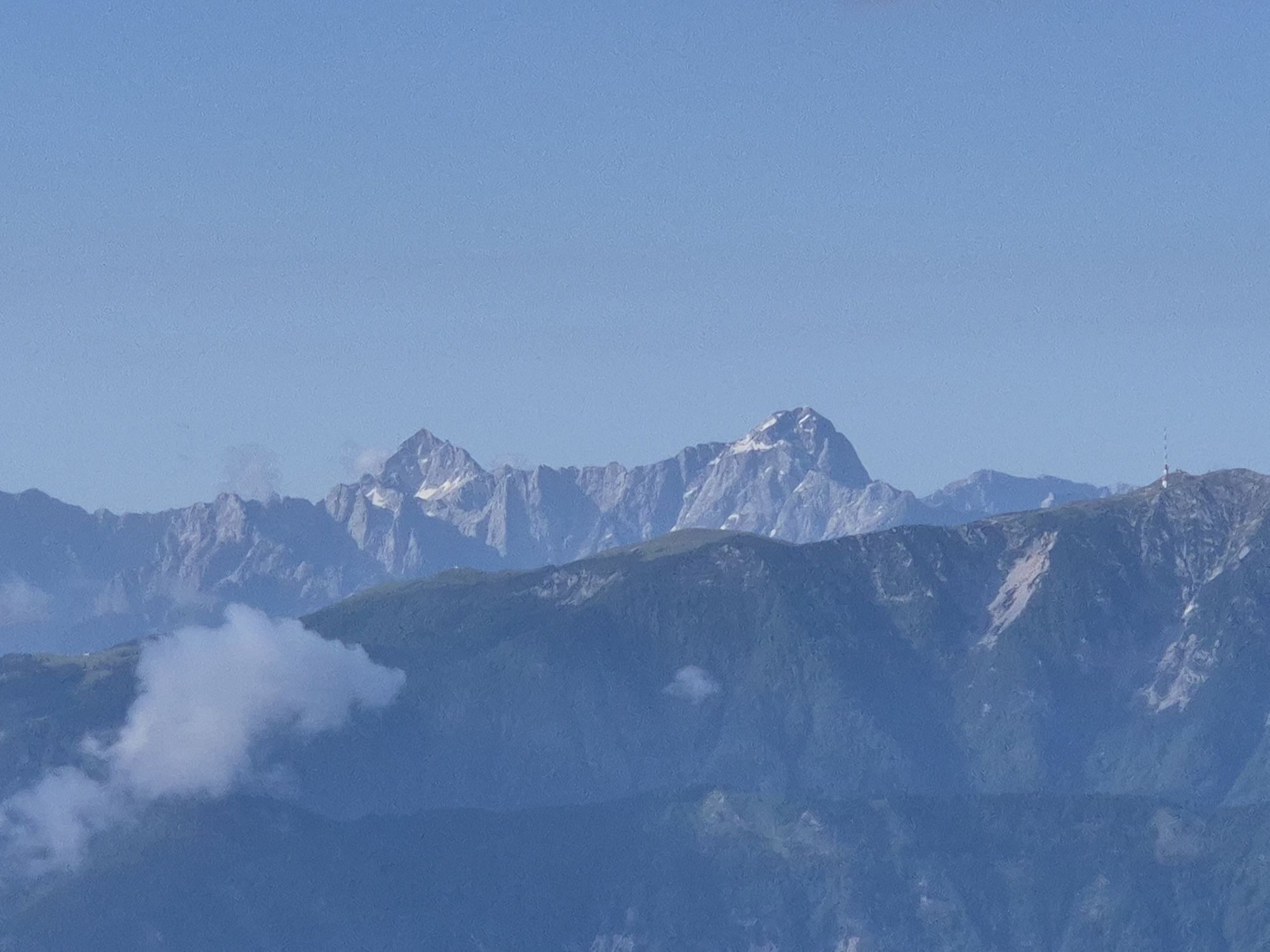
A wonderful place to pause, rest, and collect yourself while your gaze sweeps over the impressive landscape. A very special sight is the glacier surface of the 3360 m high “Tauern Queen” or Hochalmspitze in the Hohe Tauern.
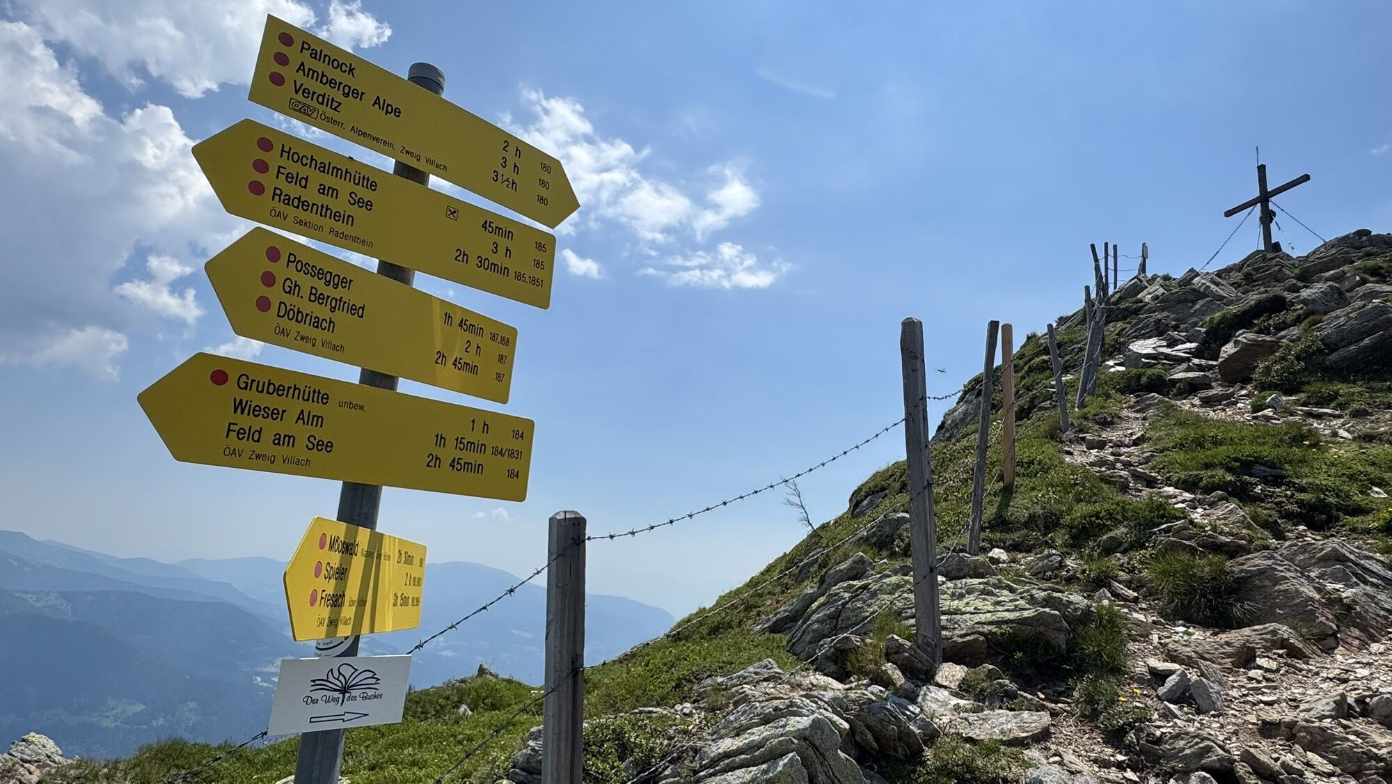
The recommended and direct descent to the Kohlweißhütte and Wieserhütte at about 1600 m leads in a good hour via path no. 184. At about 2030 m, a trail branches off southeast directly to the Kohlweißhütte.
Ano
Hiking boots with tread sole, backpack, functional underwear, rainwear, hiking poles, sufficient food and drink, maps, first aid kit, mobile phone
This route is a long crossing that requires very good endurance and stable weather conditions. Since the Mirnock is constantly in view, orientation is easy in good visibility.
From the Tauern motorway A10 - exit Villach/Ossiacher See, via the B94 (Ossiacher See federal road) and the B98 (Millstätter federal road) to Afritz. Between Strobl's bakery and the Sporthotel Mirnock, the Verditzer street branches off and follows the road to Lärchenboden.
Afritz am See is accessible by bus.
There are several parking spaces at Lärchenboden.
Highly motivated hikers can continue the hike to the Türdl (2023 m) and then reach the Kohlweißhütte via the Hochalmhütte and Gruberhütte. This extension adds about 2 hours to the route!
The described route can of course also be completed in the reverse direction, allowing for a longer stay at the Schwarzsee hut.
Získejte přehled Vždy živě na místě s více než 9 500 webkamerami. bergfex Jako uživatel Pro si nyní můžete zobrazit odpovídající webové kamery pro mnoho prohlídek v aplikaci prohlídky z. Můžete si tak přímo prohlédnout aktuální podmínky. Oblíbené prohlídky v okolí
- 4.5
Auf den Dobratsch mit der ganzen Familie
Turistika 8.40 km - 4.7
4 Huts route
středníTuristika 8.96 km - 5.0
Amberg: Palnock 1901m, Schwarzsee, Rundstrecke
středníTuristika 7.94 km - 4.8
Enzian-Granatsteig & Almbrunn Steig
světloTuristika 8 km - 4.8
Lammersdorfer Hütte, Granattor Runde
světloTuristika 9.85 km - 4.6
Millstätter See cycle track
středníJízda na kole 27.7 km - 4.2
Schwarzsee circular hiking trail
středníTuristika 7.79 km - 4.6
Gailtaler Alpen: Wanderung auf der Dobratsch
středníTuristika 8.50 km - 4.9
Skitour: FIS K70, Auf Franz Klammers Spuren
středníLyžařská trasa 11.3 km - 4.3
Zwergsee route Millstatt
světloTuristika 4.01 km
Pěší turistika a stopování


Nenechte si ujít nabídky a inspiraci pro vaši příští dovolenou
Vaše e-mailová adresa byl přidán do poštovního seznamu.





