


4 Huts Route
Fotografie našich uživatelů
-
 © FvuilleumierVytvořeno dne 01.02.2026
 -

 © Mail Peter DoeringVytvořeno dne 10.01.2026
 -
 © Claudia KanalzVytvořeno dne 29.10.2025
 -
 © Anni HörnlerVytvořeno dne 12.10.2025
 -
 © roxana62Vytvořeno dne 08.09.2025
 -
 © Helmut NeuholdVytvořeno dne 15.08.2025
 -
 © Harrie NijhuisVytvořeno dne 01.07.2025
 -
 © Harrie NijhuisVytvořeno dne 01.07.2025
 -
 © Oli HeiseVytvořeno dne 26.06.2025
 -
 © Oli HeiseVytvořeno dne 26.06.2025
 -

 © Christa GrailachVytvořeno dne 15.06.2025
 -
 © Christa GrailachVytvořeno dne 15.06.2025
 -

 © GerlitzenrundeVytvořeno dne 10.01.2025
 -
 © GerlitzenrundeVytvořeno dne 10.01.2025
 -
 © Mail Peter DoeringVytvořeno dne 20.12.2024
 -
 © Melanie HörzerVytvořeno dne 05.09.2023
 -
 © Melanie HörzerVytvořeno dne 05.09.2023
 -
 © Jürgen EisenreichVytvořeno dne 20.06.2024
 -
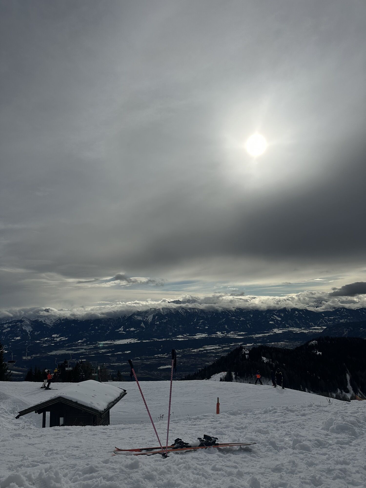
 © Milla GeufkeVytvořeno dne 13.02.2026
 -
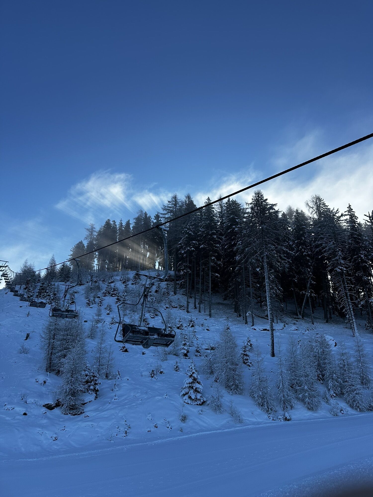
 © Milla GeufkeVytvořeno dne 12.02.2026
 -
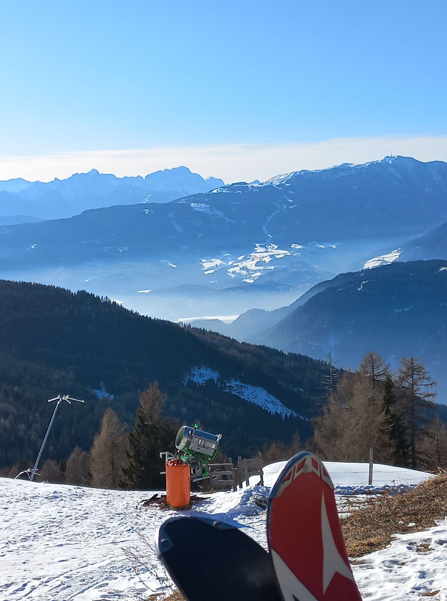
 © Milla GeufkeVytvořeno dne 11.02.2026
 -
 © Ábel KelecsényiVytvořeno dne 26.01.2026
 -
 © Christa GrailachVytvořeno dne 22.01.2026


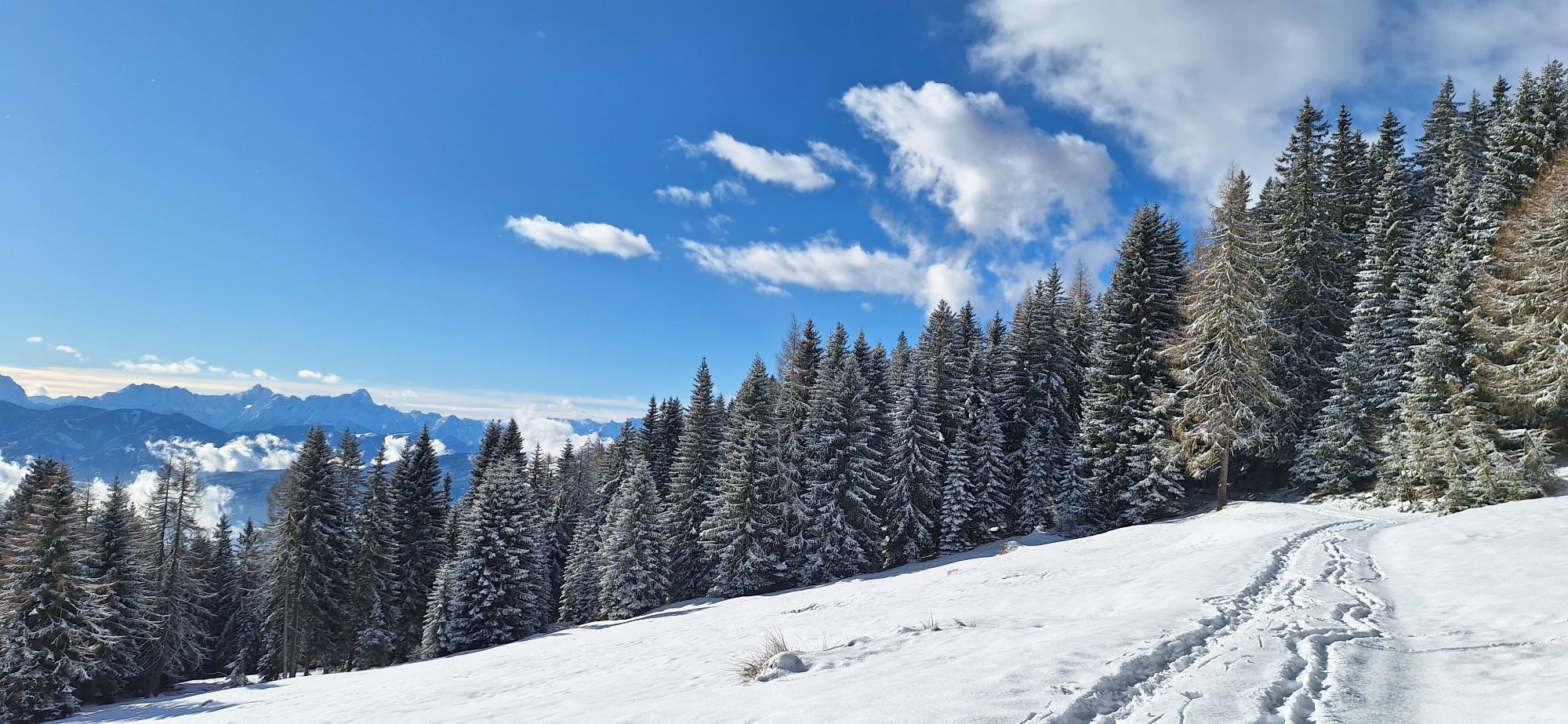
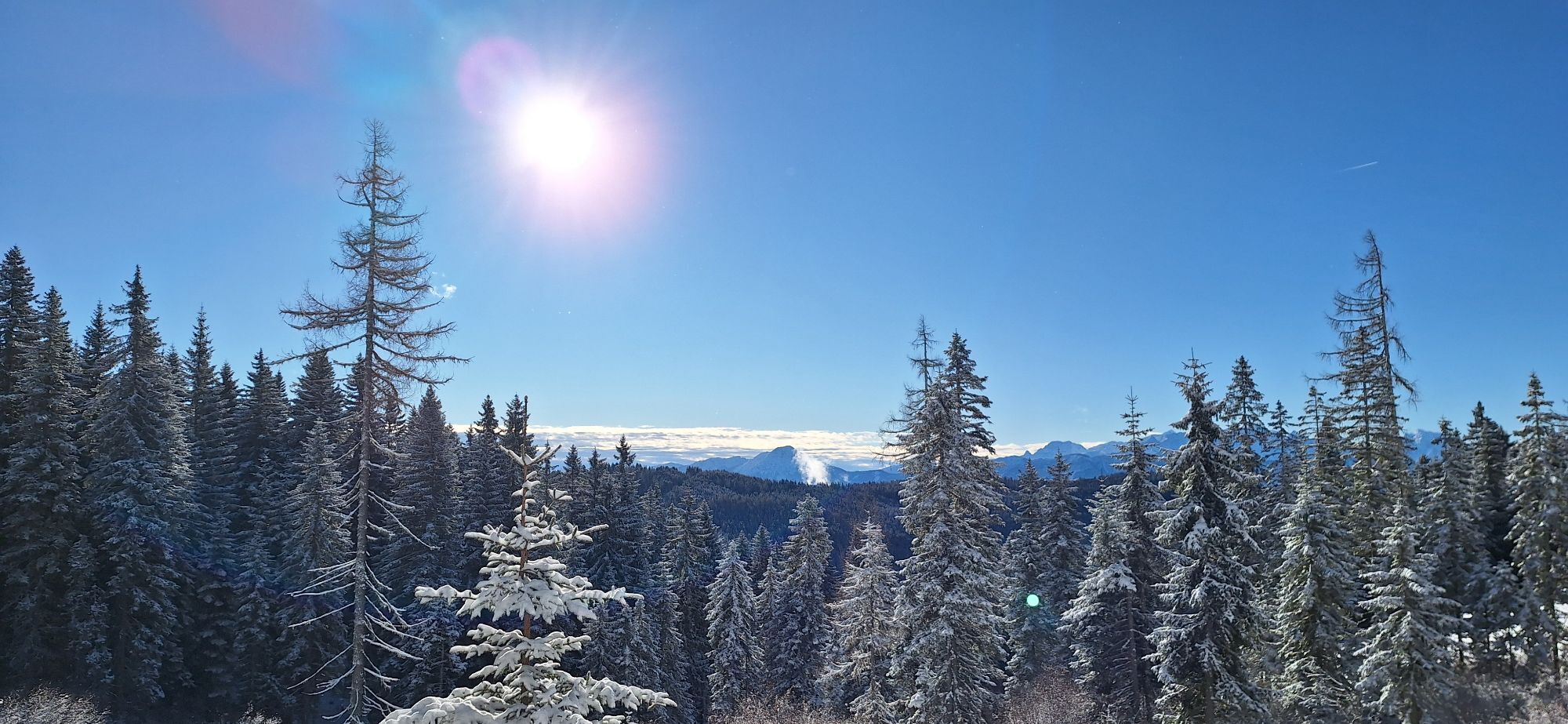


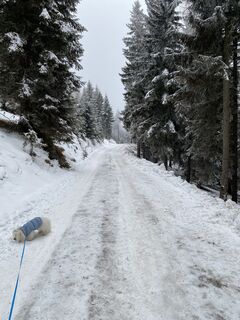
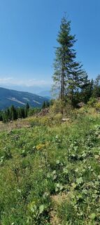
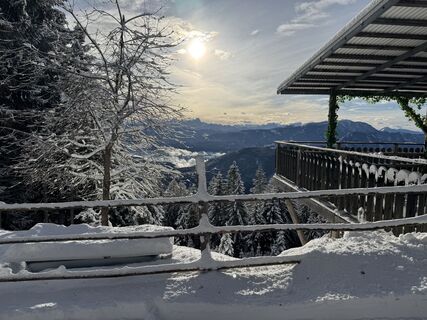
This beautiful hike connects numerous huts on the west and south sides of the Gerlitzen Alp. The first part of the hike can also be done as a point-to-point route with an all-terrain stroller.

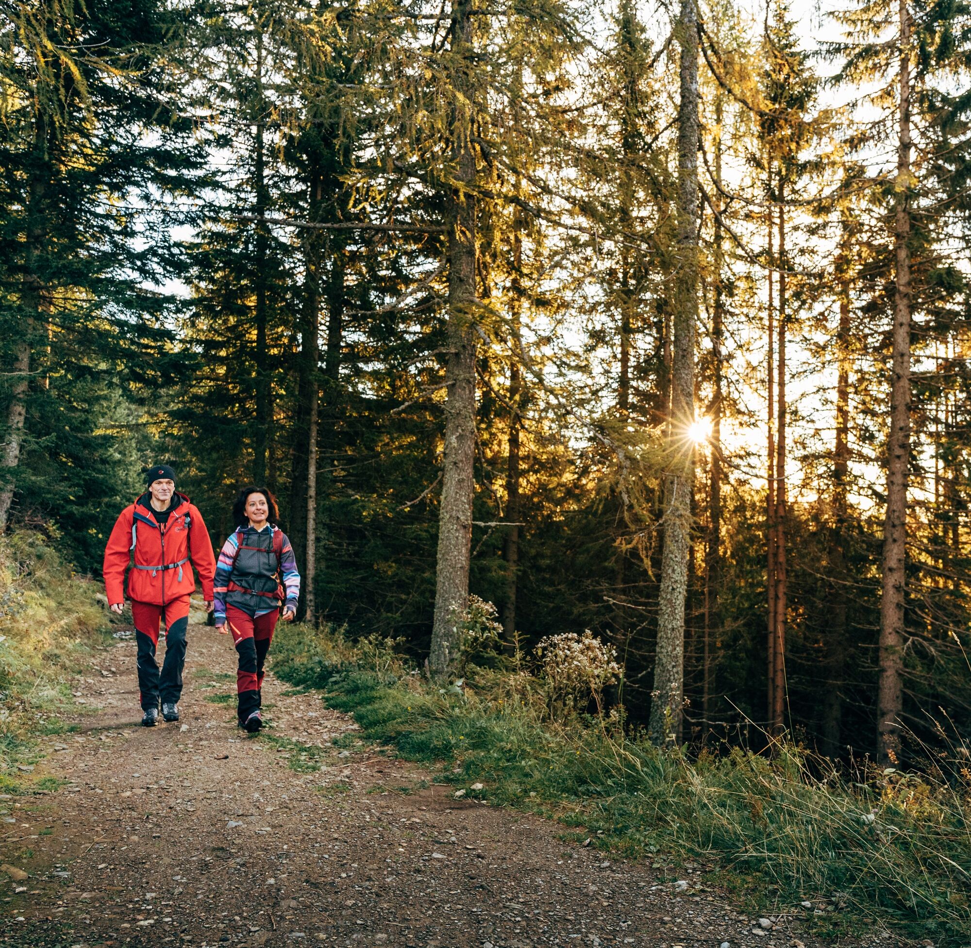
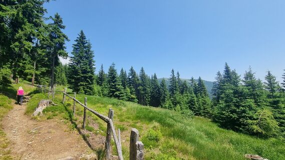
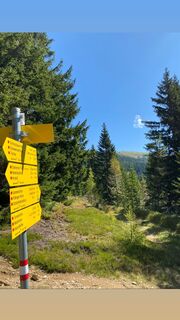
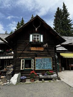
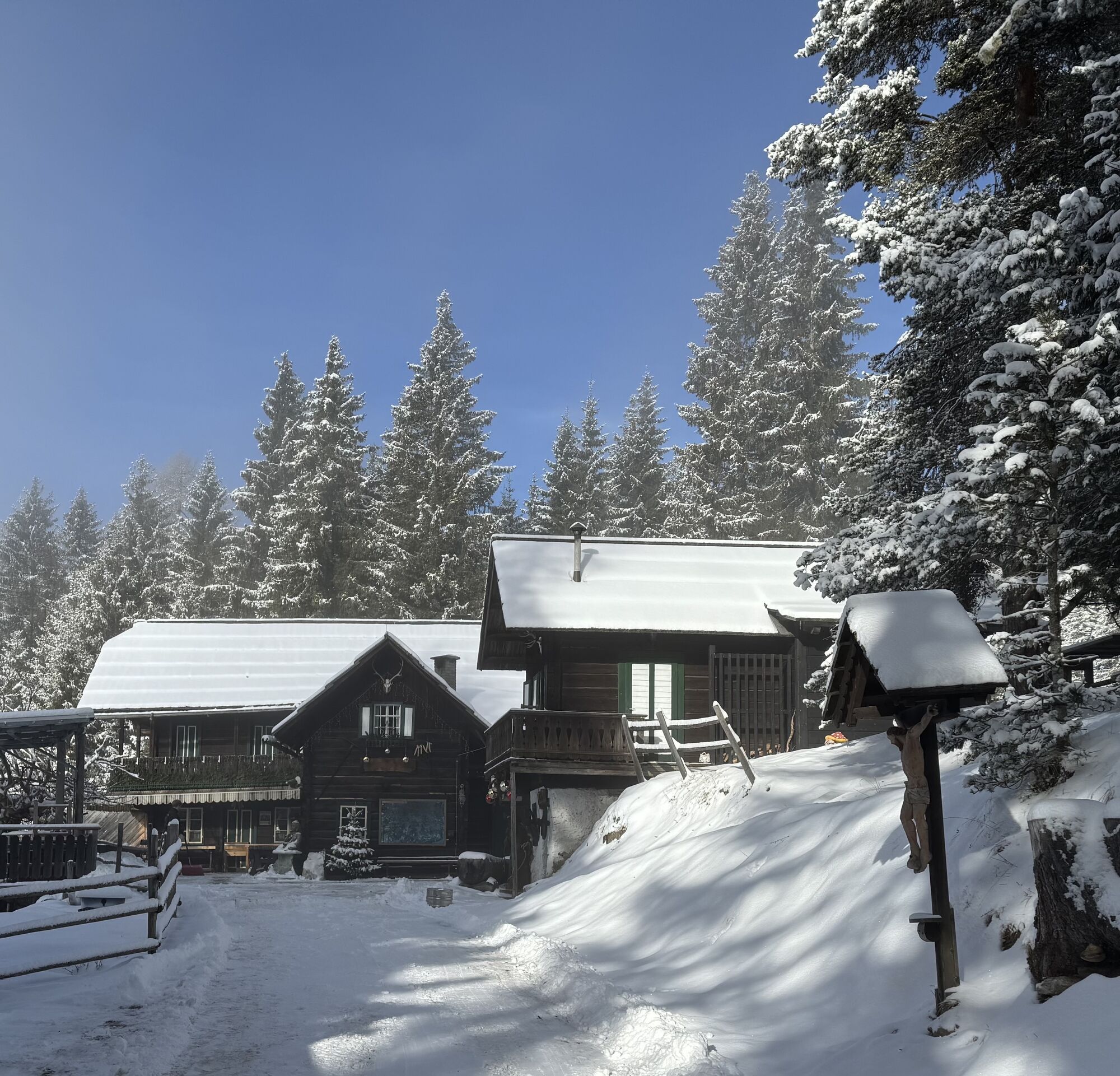
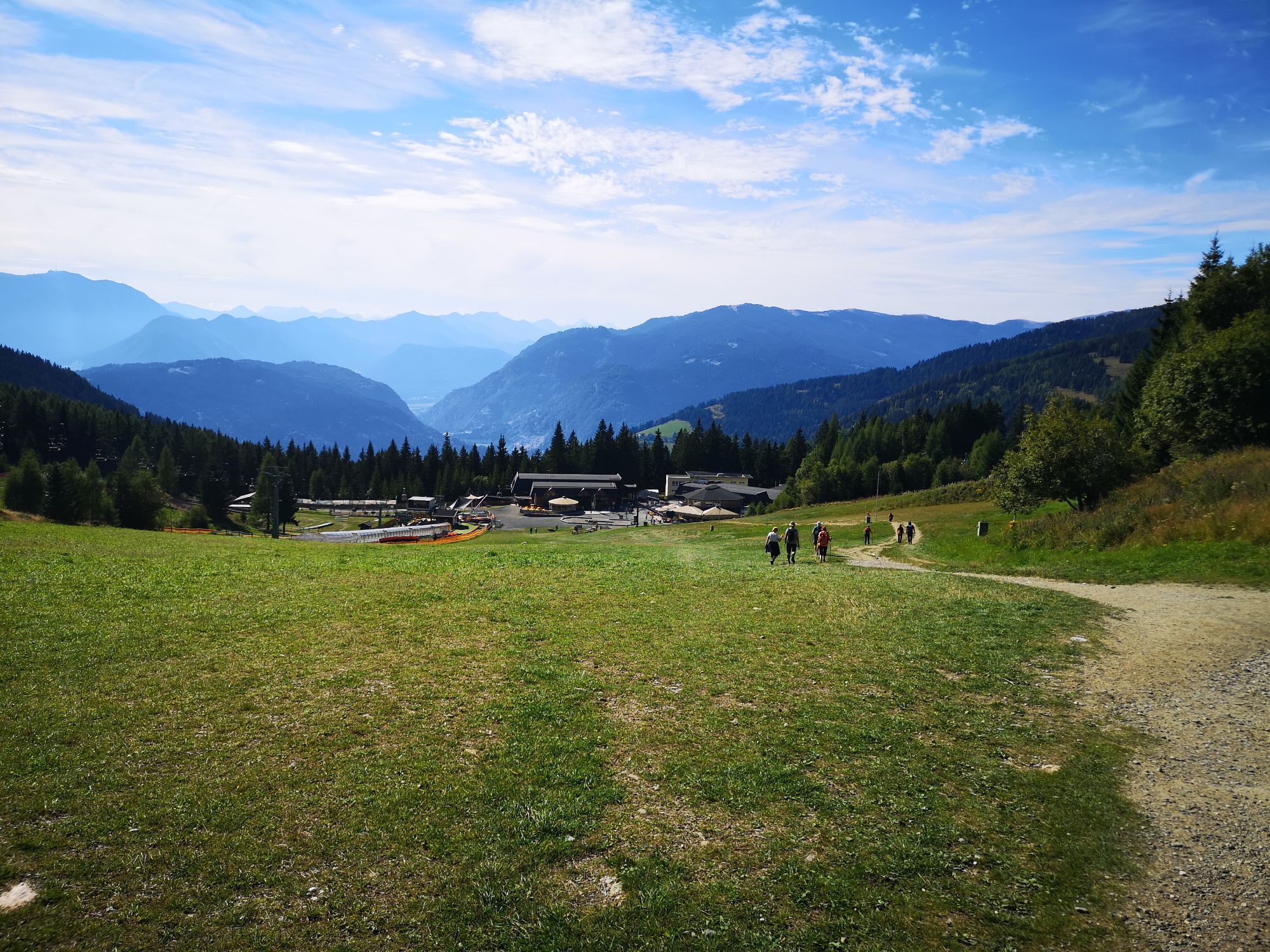
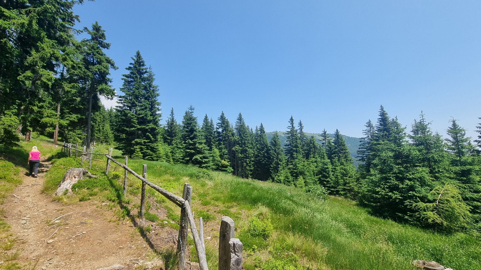
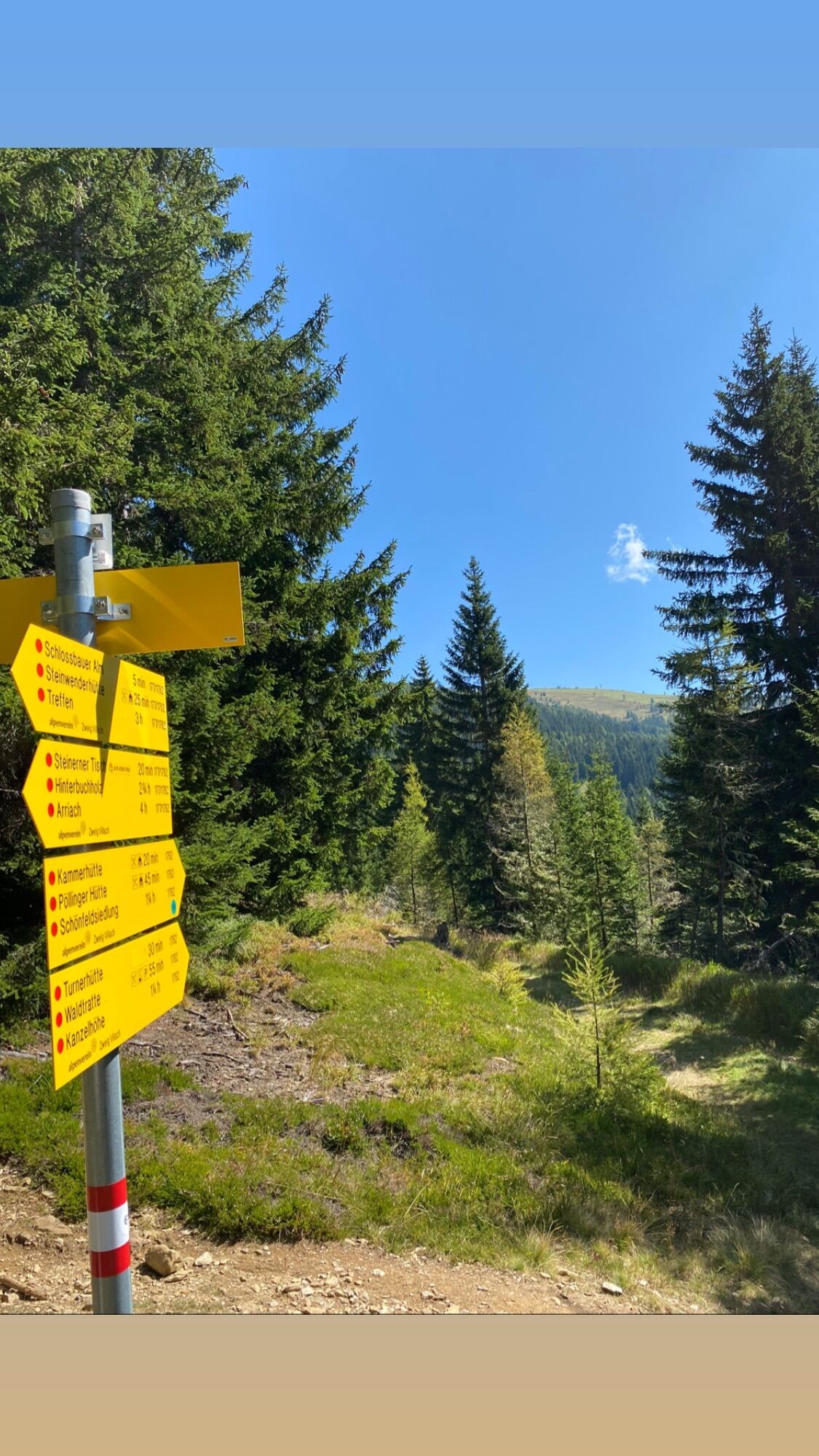
Starting from the Kanzelbahn - mountain station, follow the signage (path no. 31), passing a reservoir pond after a few meters, towards Steinwenderhütte. The wide forest road leads to the Steinwenderhütte without significant changes in elevation and is also well suited for families with strollers.
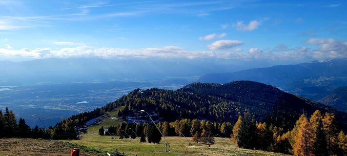
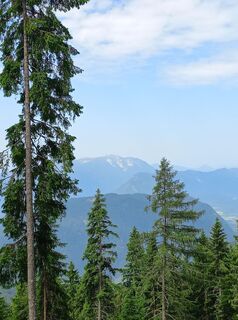
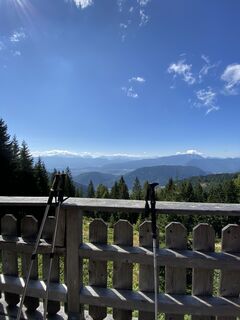
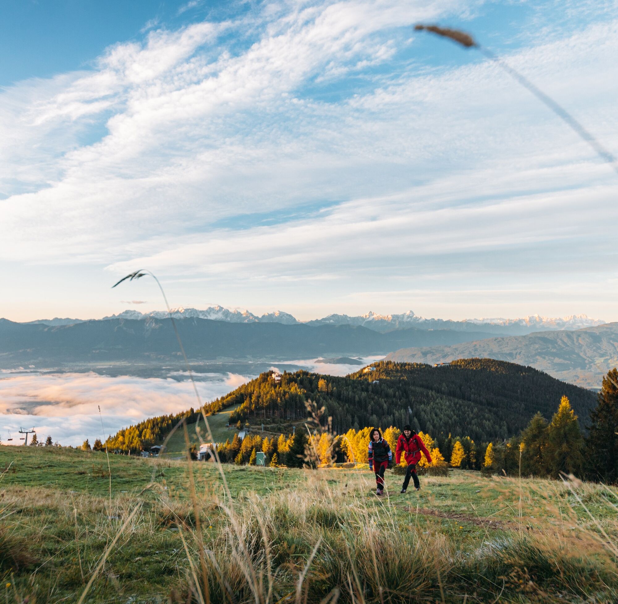
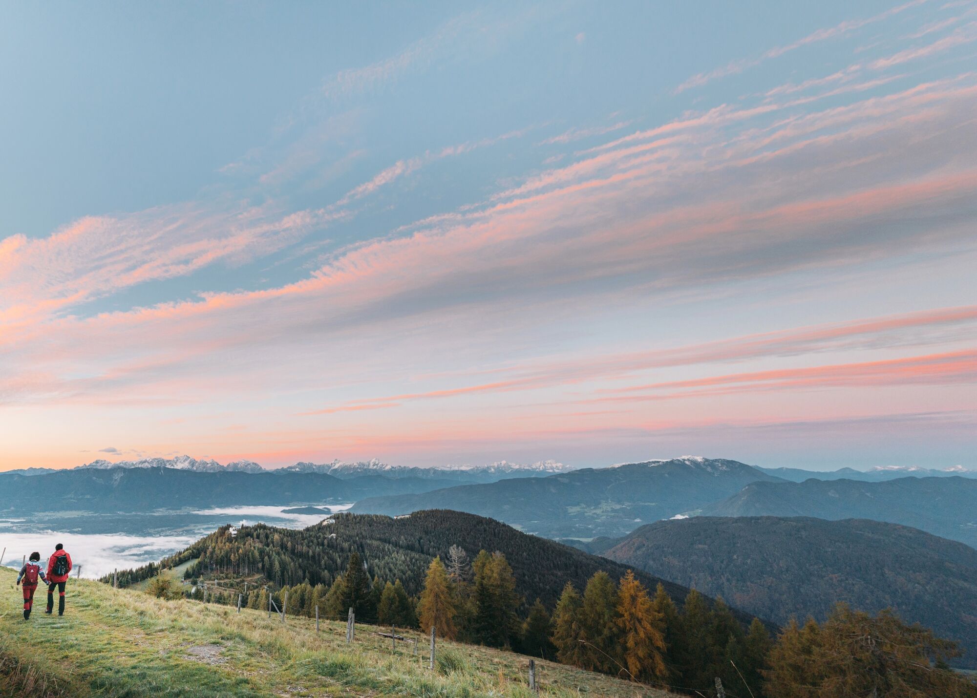
From Steinwenderhütte, the further path (path no. 177) leads over a picturesque alpine meadow, ascending into the surrounding forests before the scenic Schlossbauer Alm opens up views of the Villach Basin - framed by the southern mountain groups such as the Karawanks and the Julian Alps. Alternatively, from Steinwenderhütte, you can also ascend to the "Steinerner Tisch" (path no. 109) - once a resting place for hunters, forest workers, and herders - and then hike to Schlossbauer Alm (path no. 1762).
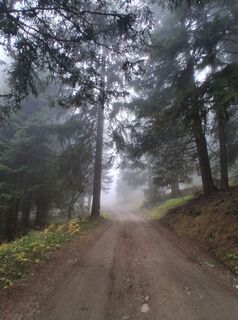
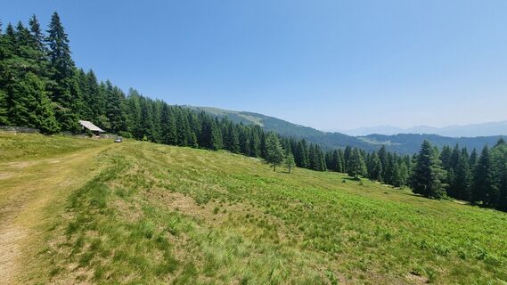
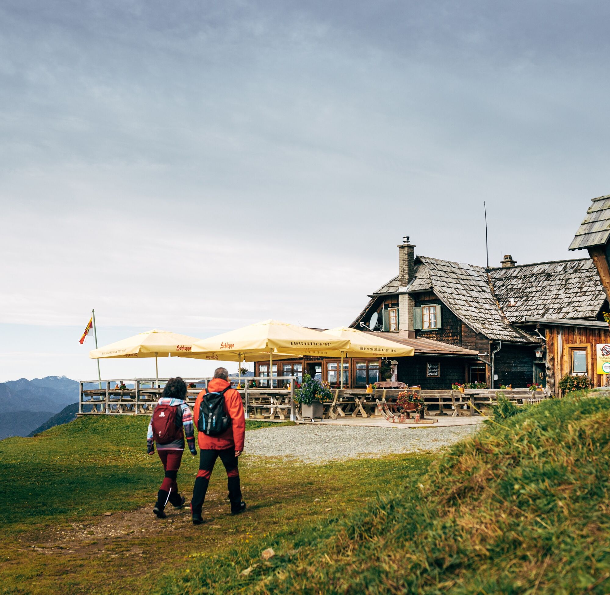
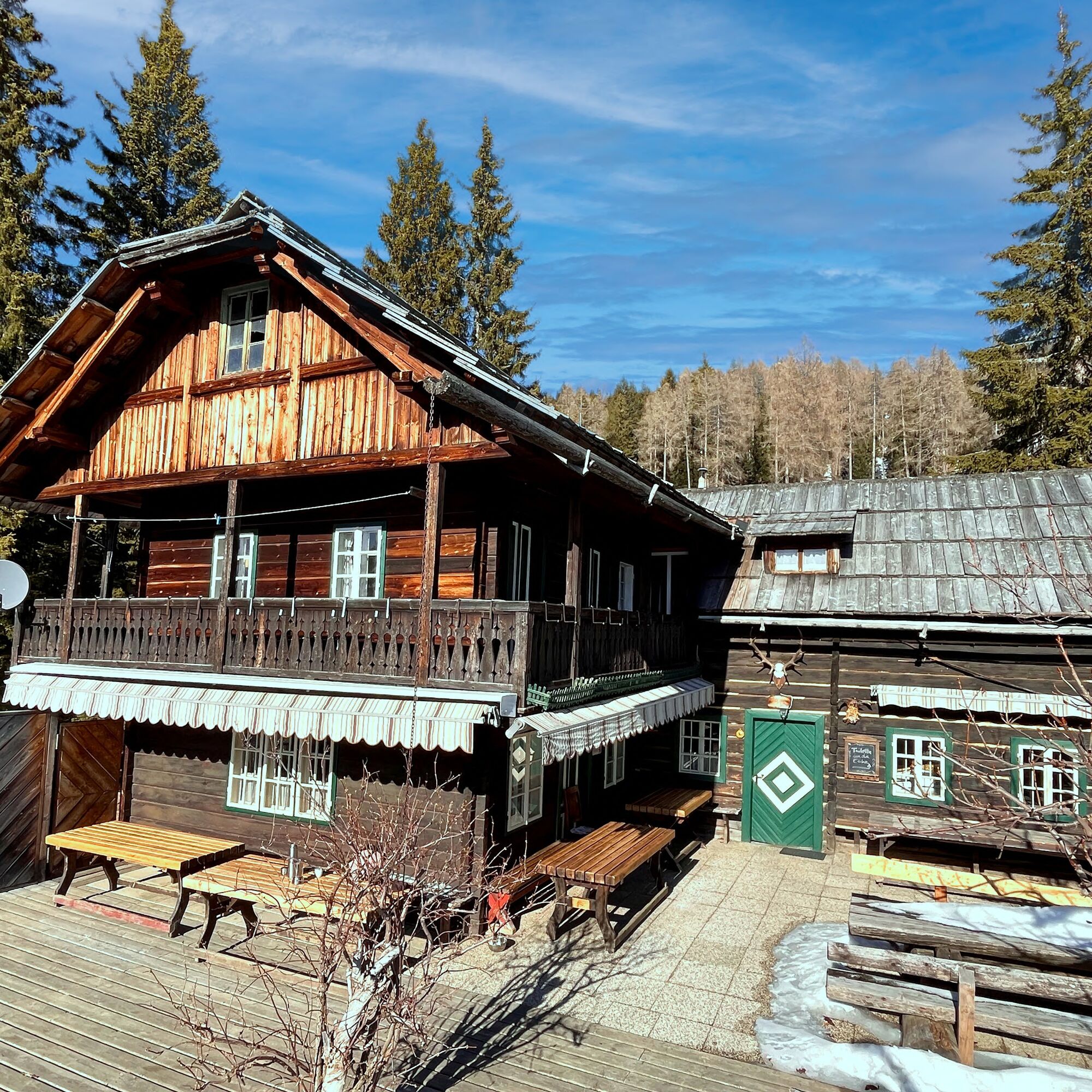
After Schlossbauer Alm, you cross another pasture (path no. 1762) - the Baumgartner Alm - which is crowded by cows in summer. A few minutes' walk later, you reach the Kammerhütte. Follow the forest road under Kammerhütte (path no. 41) gently descending towards Kanzelbahn - mountain station up to the Turnerhütte junction. Over some wooden steps, you now descend a little steeper to the Turnerhütte (path no. 43), which, however, no longer operates as a restaurant. Then continue along the forest road to a large crossroads and reach again slightly ascending the Pöllinger Hütte, the highest point of the circuit.
The suggested route leads along the right edge of the slope via a meadow path (path no. 52) to Waldtratte and from there to Sunn Alm, the last stop at the Kanzelbahn - mountain station.
Trekking shoes with profiled sole, backpack, functional underwear, rainwear, hiking poles, food and drink, maps, first aid, mobile phone
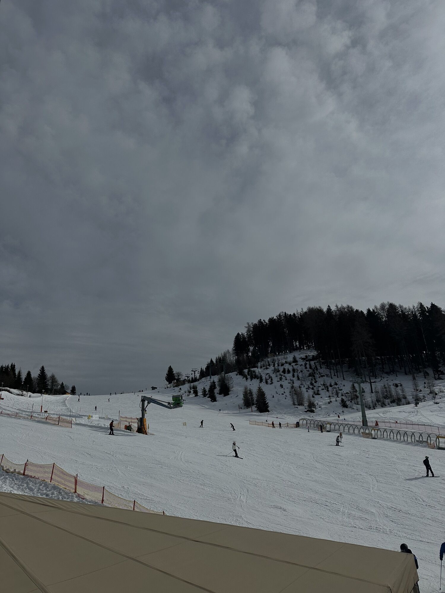
Annenheim is best reached via the A10 exit "Villach-Ossiacher See." From there, take the Gerlitzen Kanzelbahn up to the mountain station of the Kanzelbahn.
Annenheim is regularly accessible by public transport.
There are sufficient parking spaces available in the valley area.
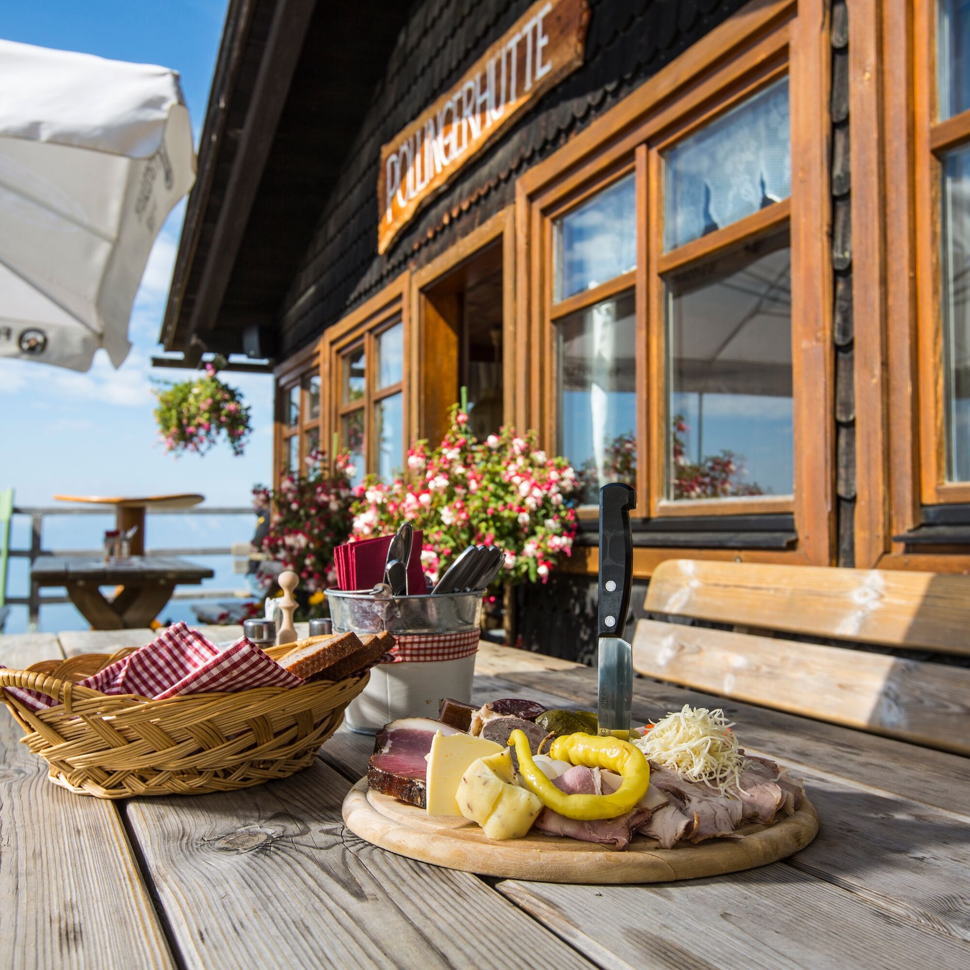
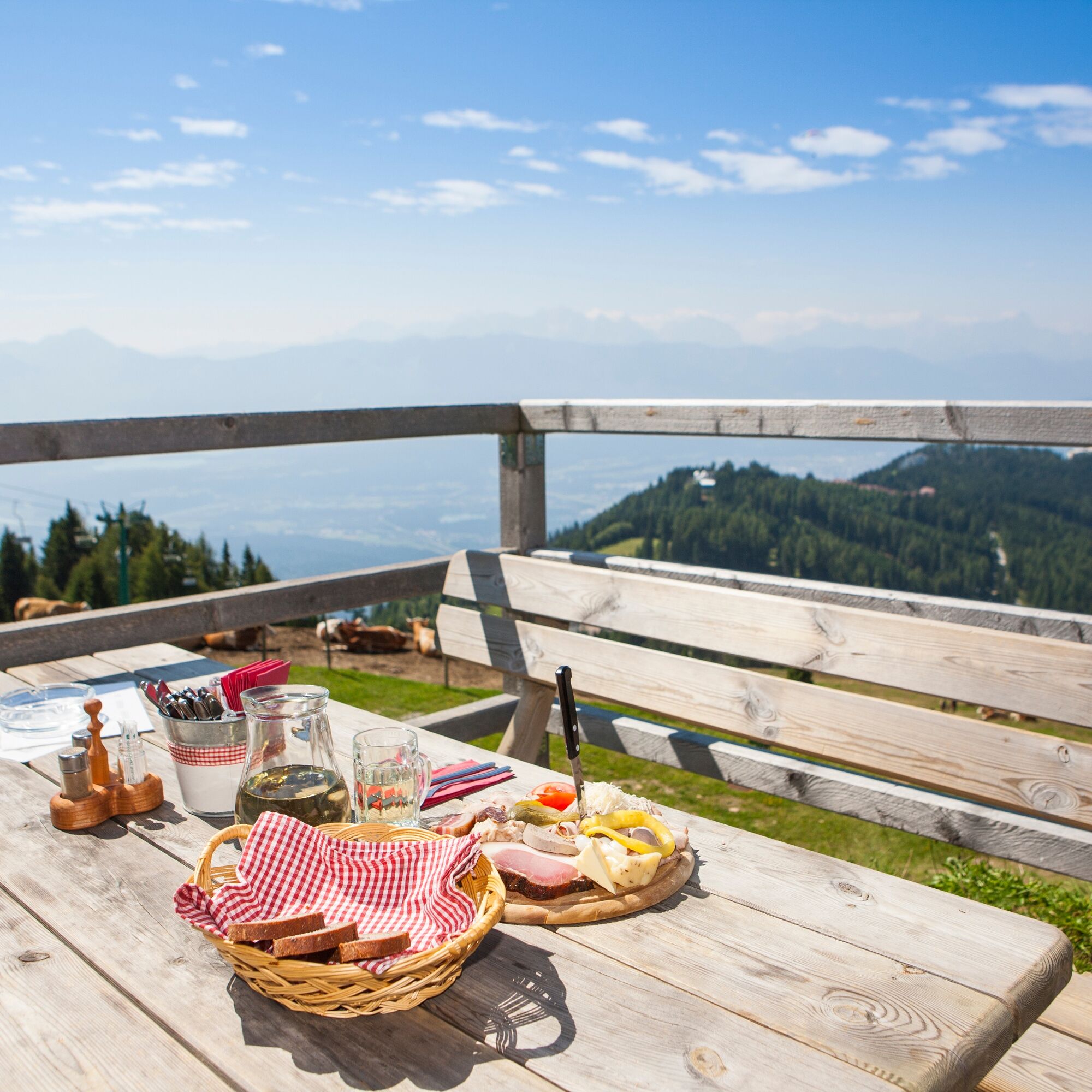
Make a short culinary stop at each hut.
Aktivity na trase
-

Gerlitze Steinwenderhütte
27.02.2026 – Turistika -
Steinwenderhütte
26.02.2026 – Turistika -
Steinwenderhütte
10.01.2026 – Horská turistika -

Treffen am Ossiacher See, Kärnten/Österreich
25.10.2025 – Turistika -
Treffen am Ossiacher See, Kärnten/Österreich
18.09.2025 – Turistika -
Treffen am Ossiacher See, Kärnten/Österreich
24.08.2025 – Turistika -
Treffen am Ossiacher See, Kärnten/Österreich
24.08.2025 – Turistika -
Treffen am Ossiacher See, Kärnten/Österreich
10.01.2025 – Horská turistika
Oblíbené prohlídky v okolí
-
4.4
Finsterbach Waterfalls - Circular route
středníTuristika 3.87 km -
4.2
Slow Trail Bleistätter Moor (Variant A)
světloTuristika 7.22 km -
4.9
Skitour: FIS K70, Auf Franz Klammers Spuren
středníLyžařská trasa 11.3 km -
3.9
Lake Ossiach cycle path - R2 and R2A
středníJízda na kole 28.2 km -
4.3
Lake circular trail
světloNordic Walking 9.85 km -
4.5
Oswaldiberg St.Ruprecht
středníTuristika 6.69 km -
4.5
Wasserfälle
středníTuristika 2.48 km -
4.2
BKK, Kaiserburg, Wöllaner Nock, Güterweg
středníTuristika 19.6 km -
4.5
Traumbogen circular route
světloTuristika 4.26 km -
3.9
Faakersee Rundweg
světloTuristika 9.55 km

Pěší turistika a stopování


Nenechte si ujít nabídky a inspiraci pro vaši příští dovolenou
Vaše e-mailová adresa byl přidán do poštovního seznamu.