


Pal Piccolo and Freikofel loop
Úroveň obtížnosti: T3
We descend from Passo Monte Croce Carnico, travel through the long tunnel and emerge in Austria: here, on the right, we find the Plöckenhaus parking lot (1225 m) waiting for us. We head back along the...
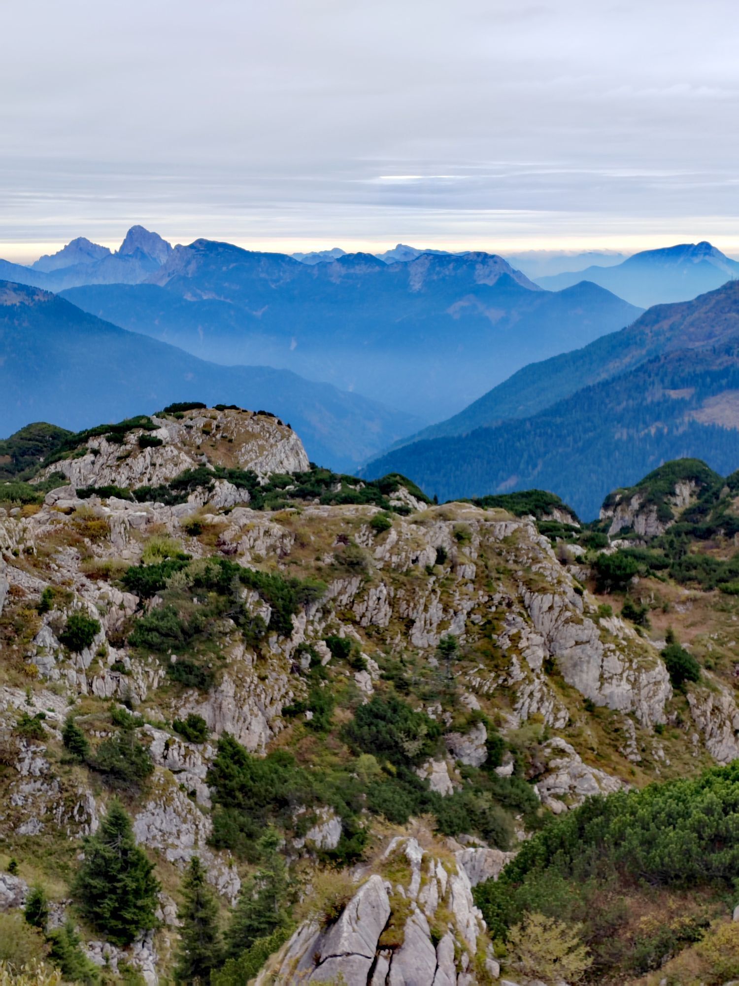
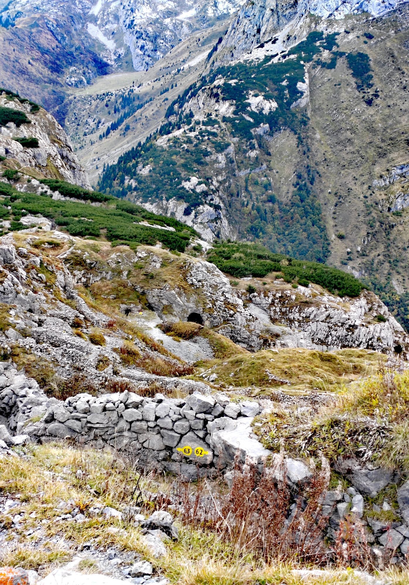
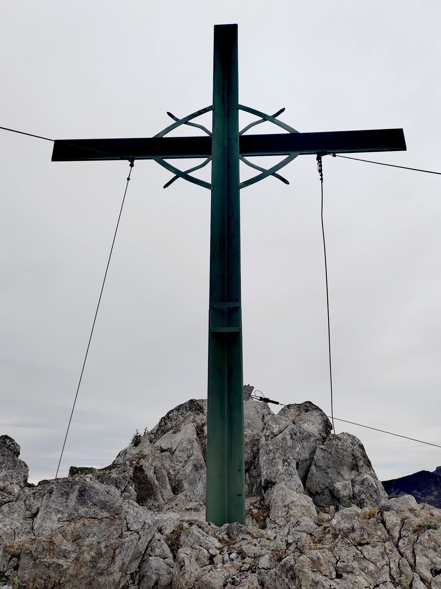
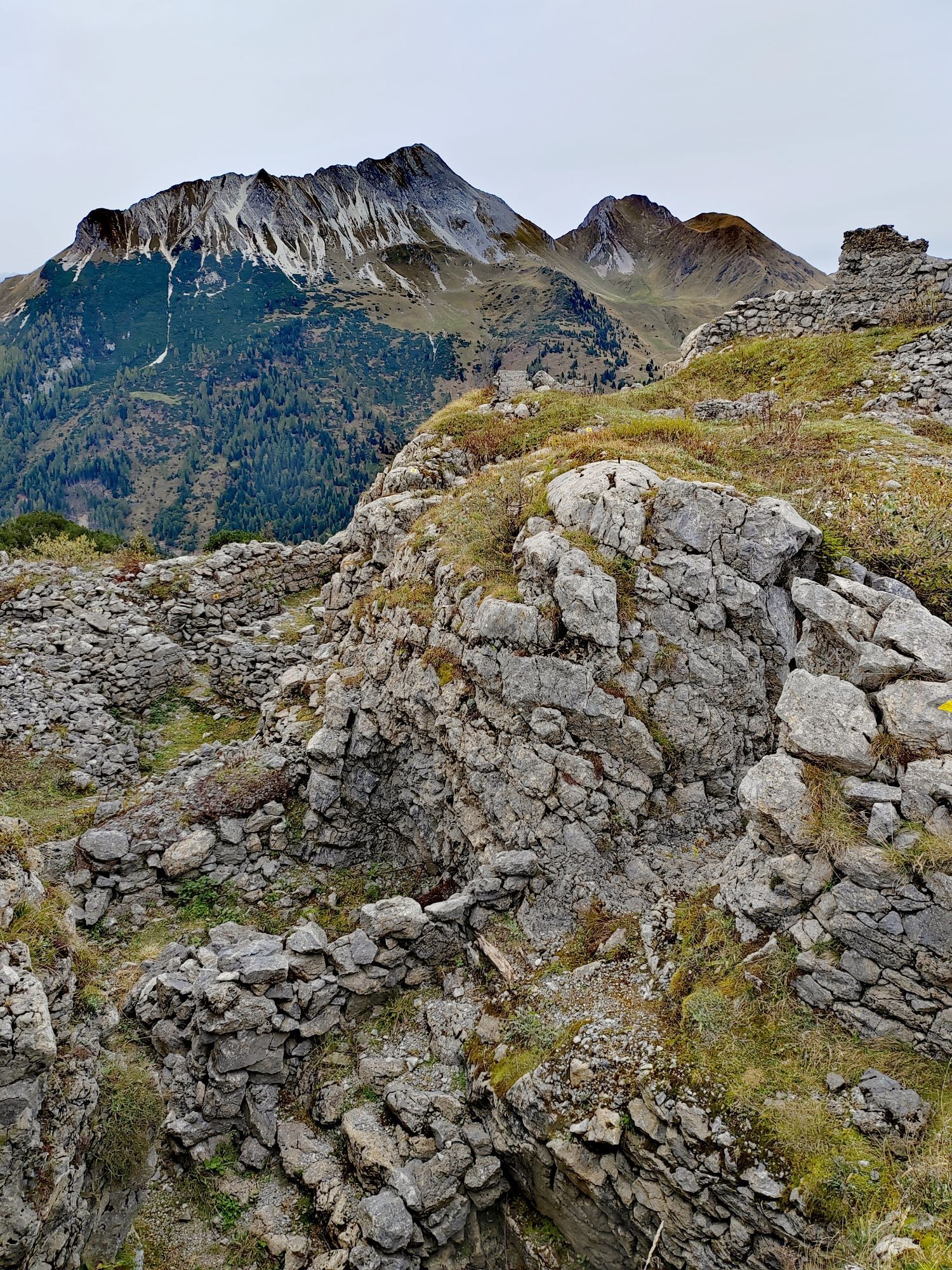
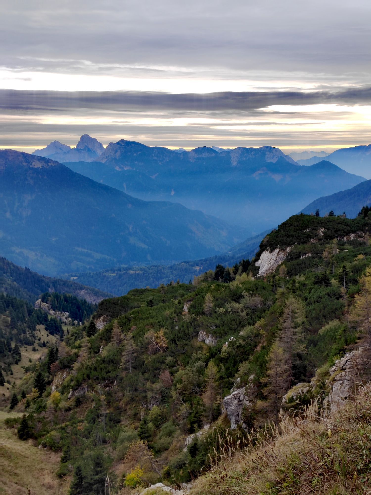
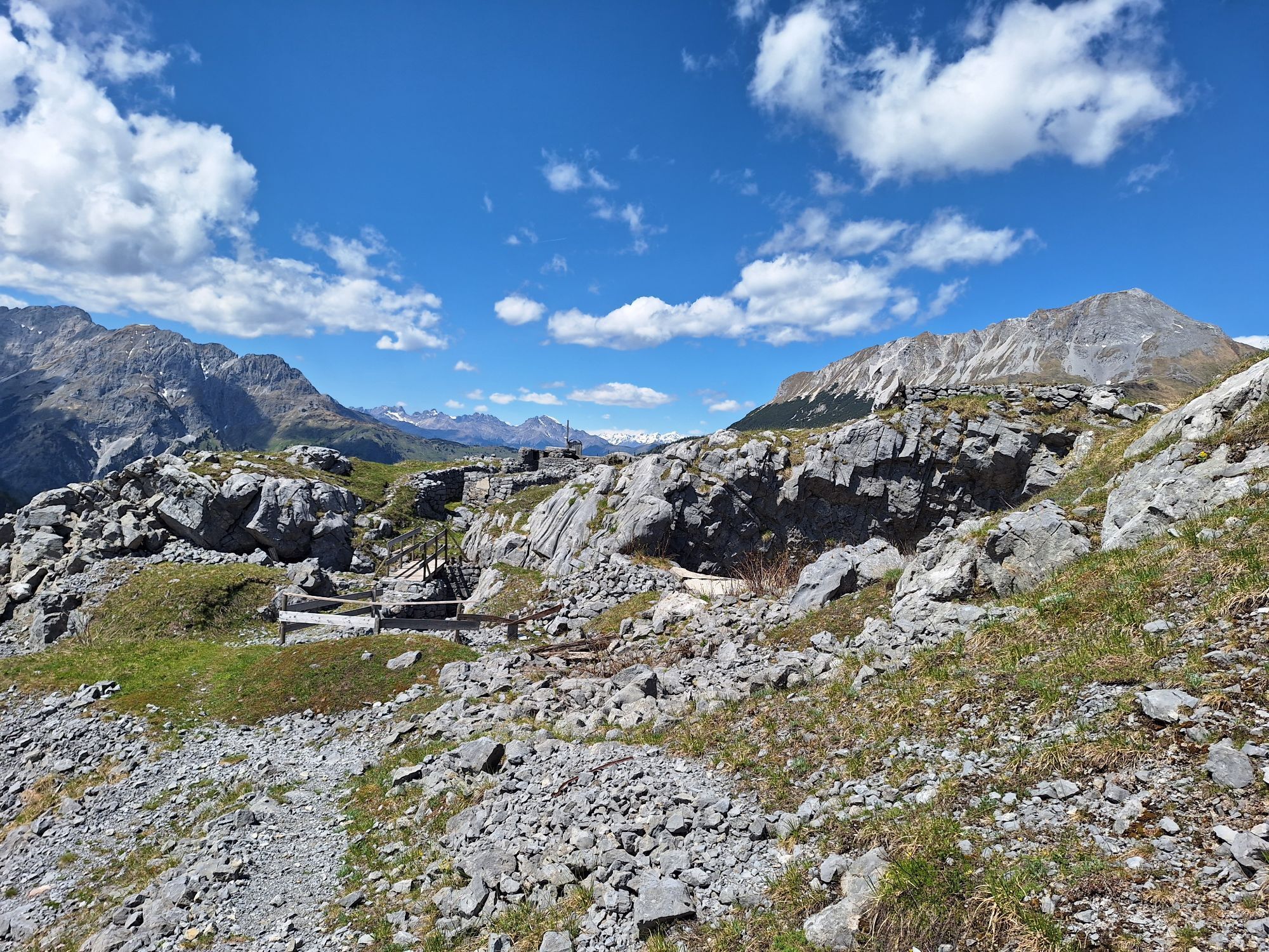
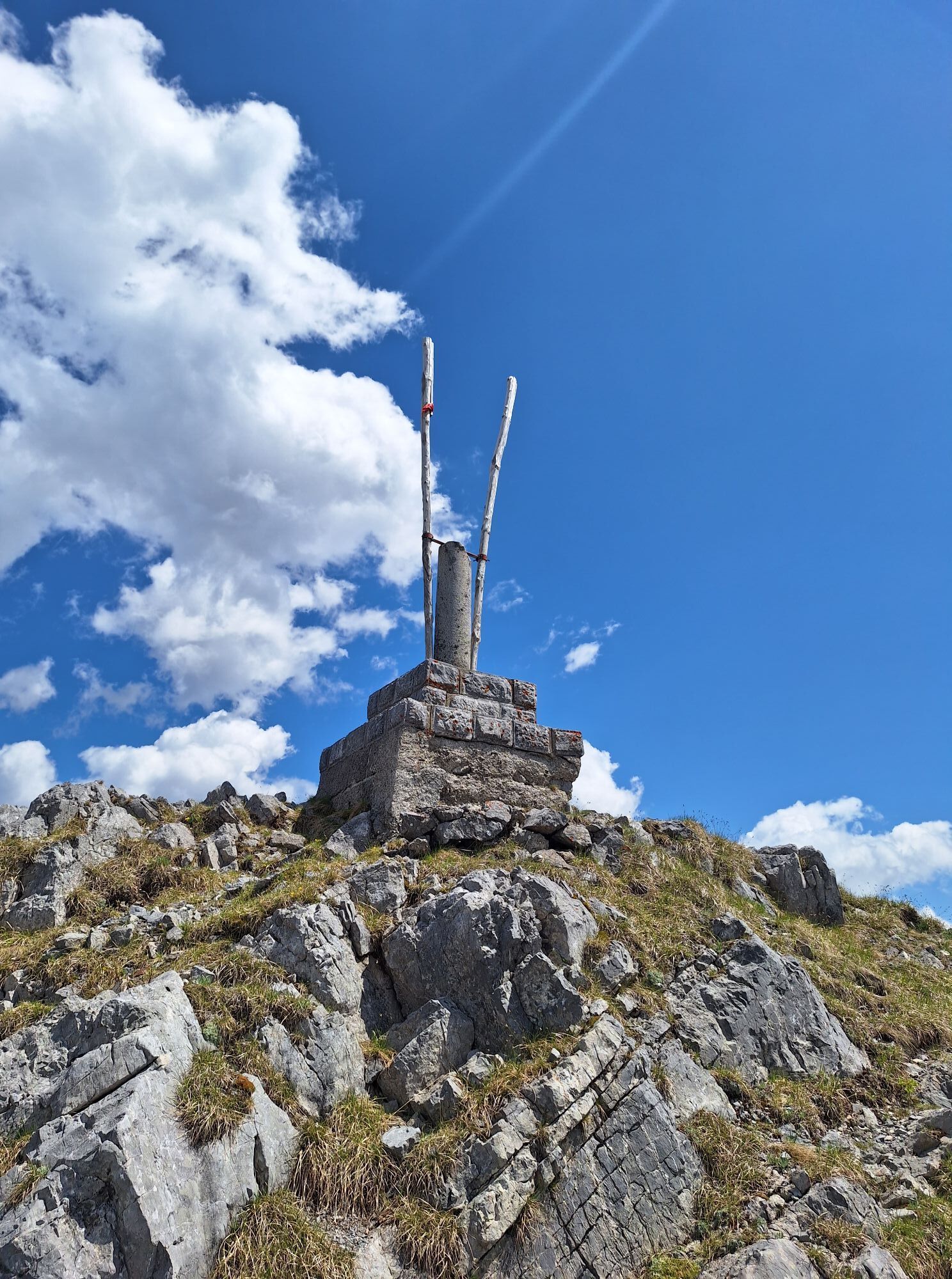
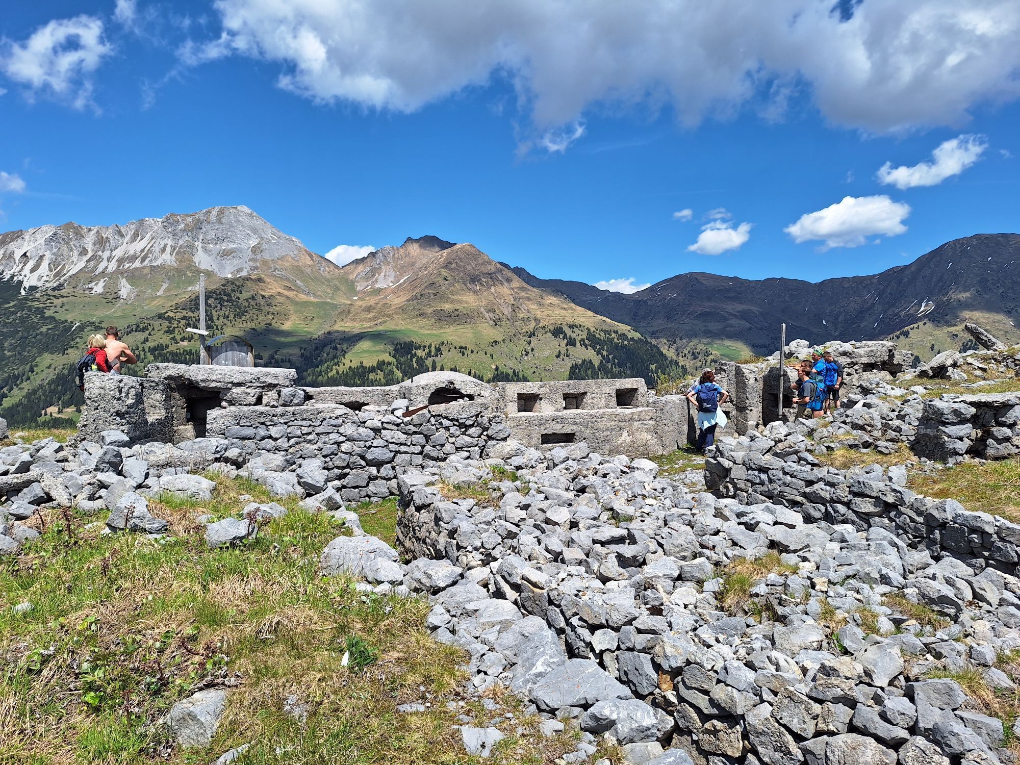
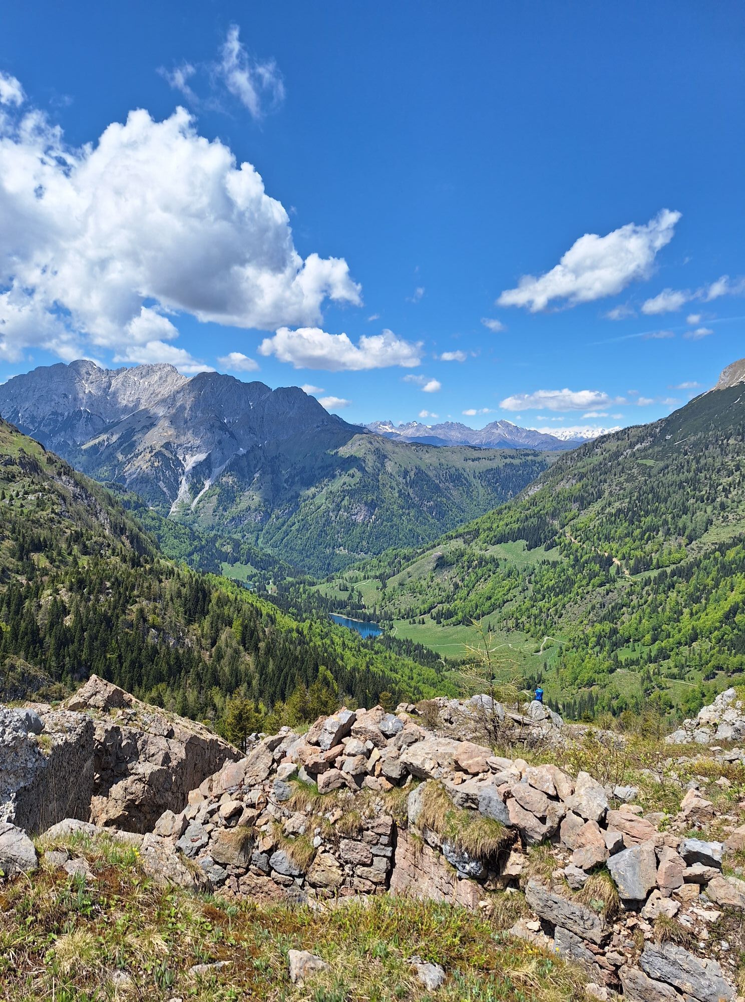
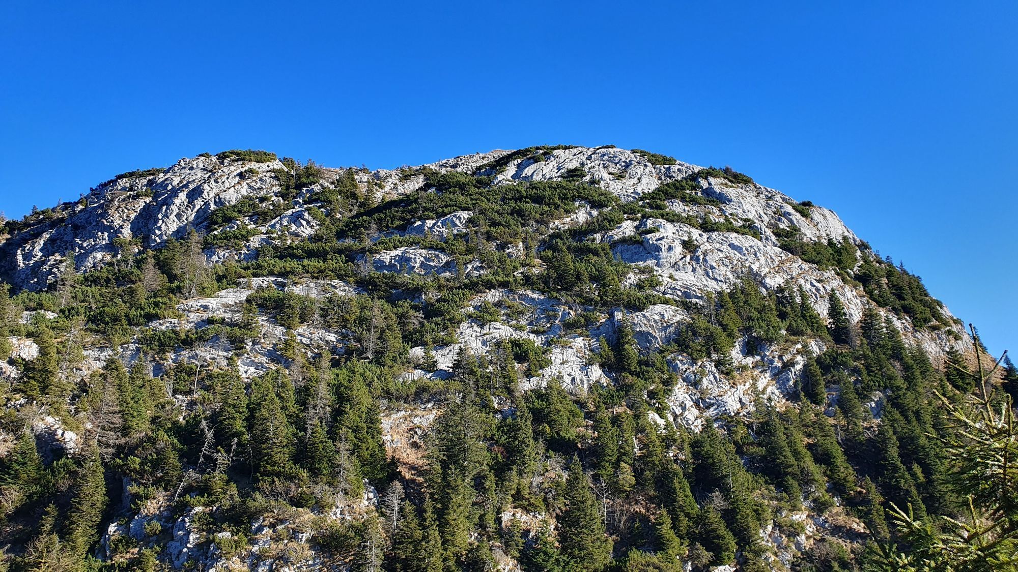
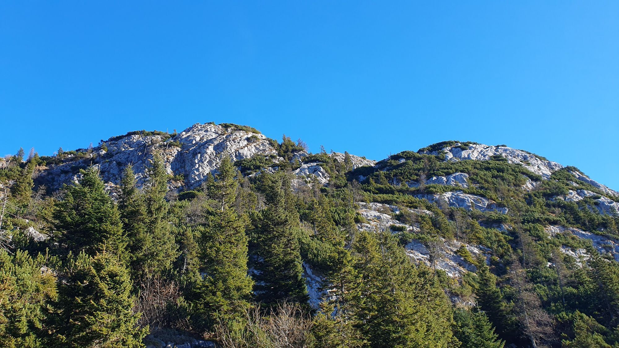
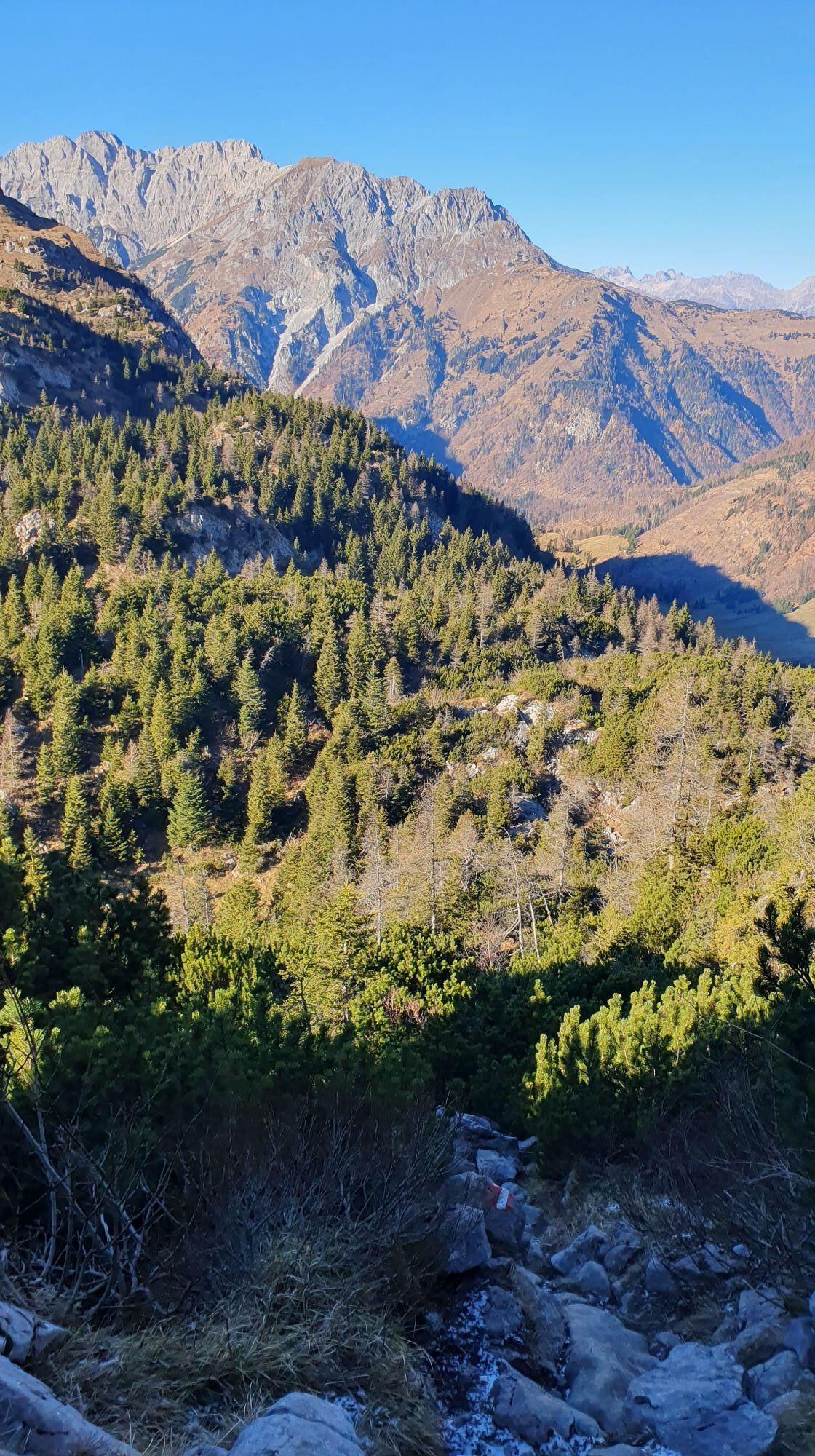
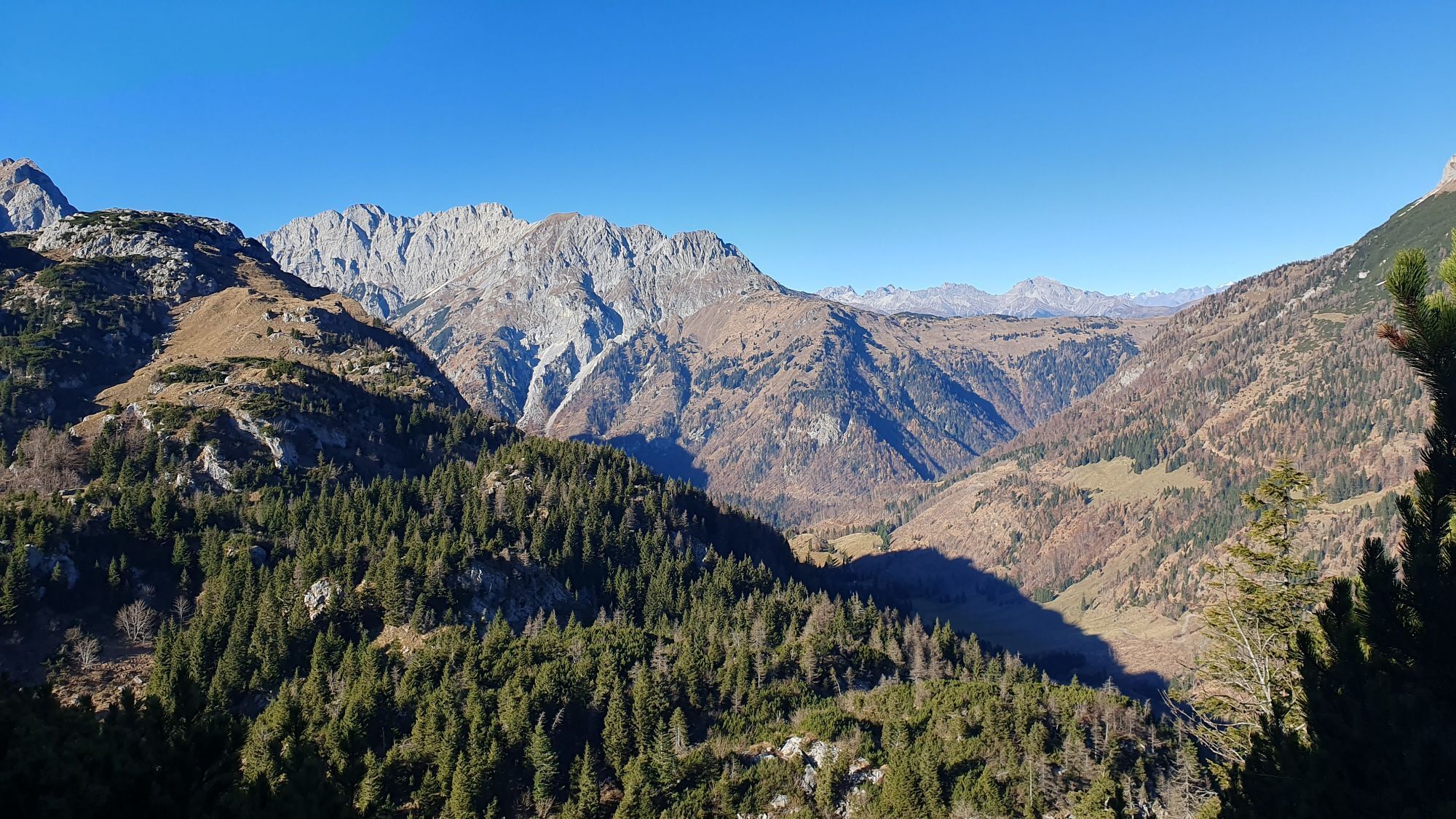
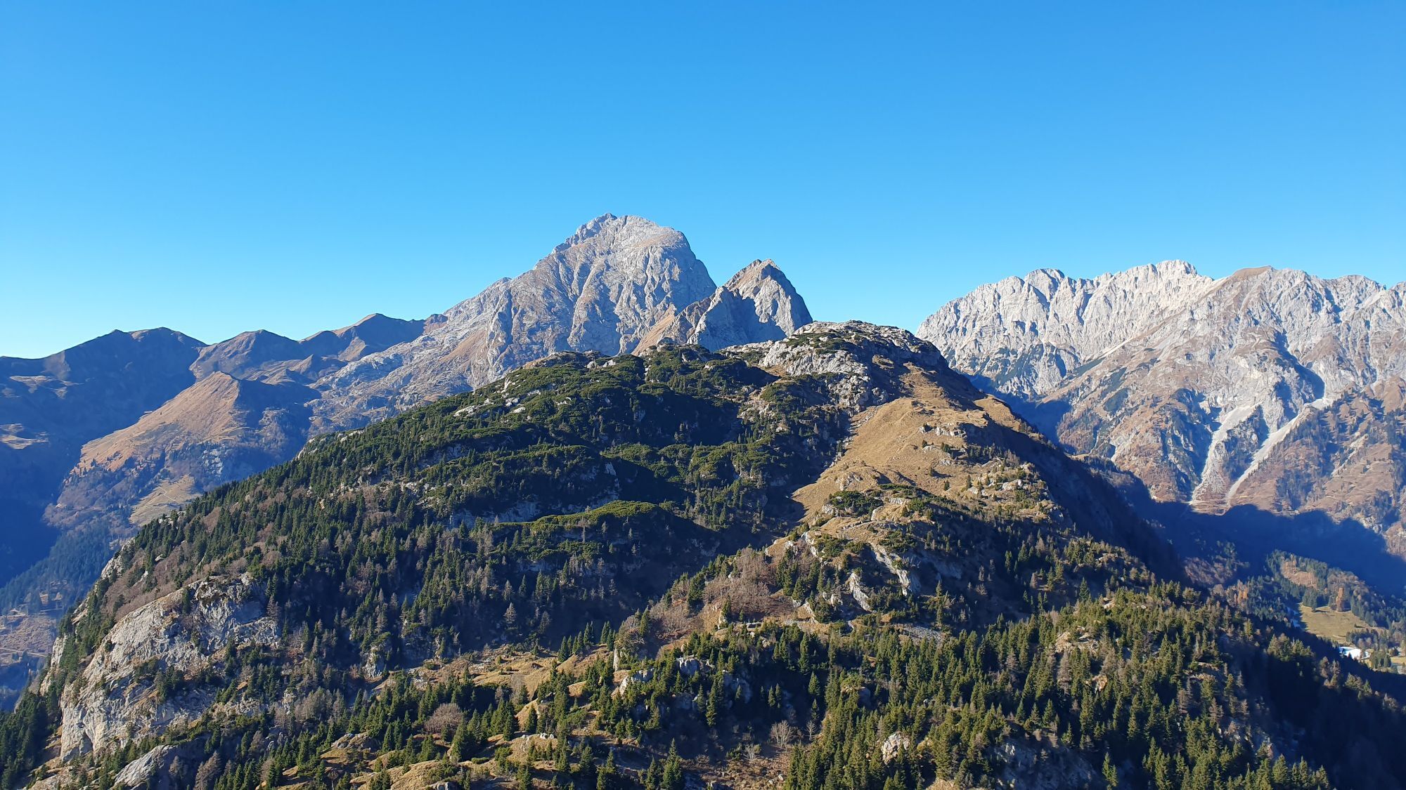
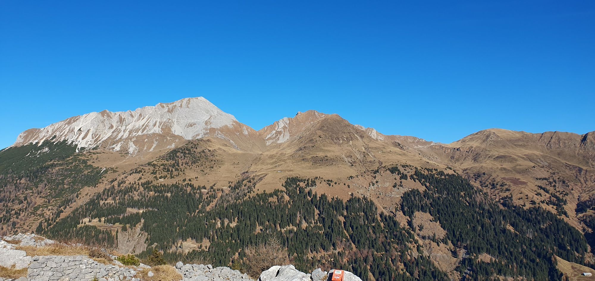
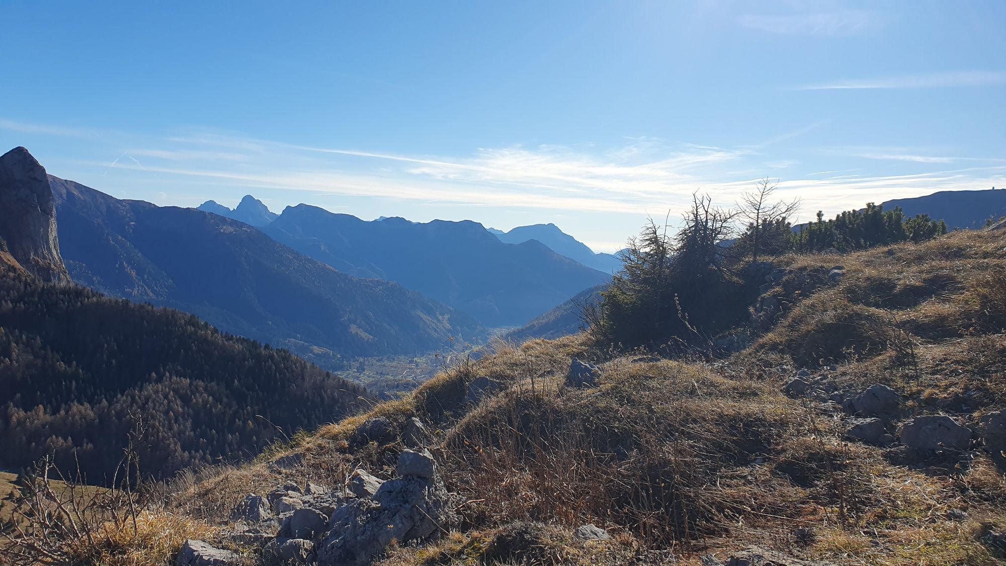
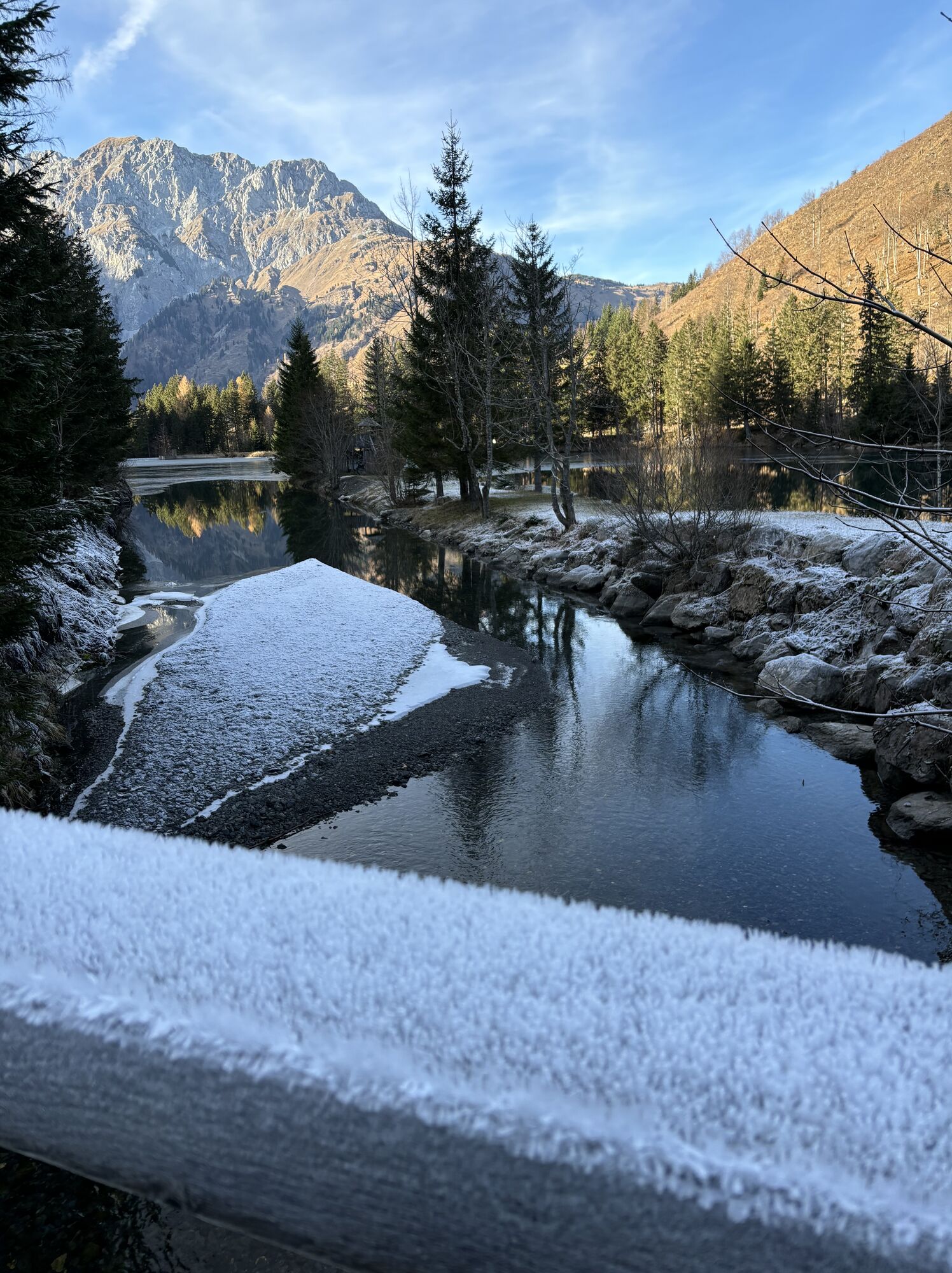
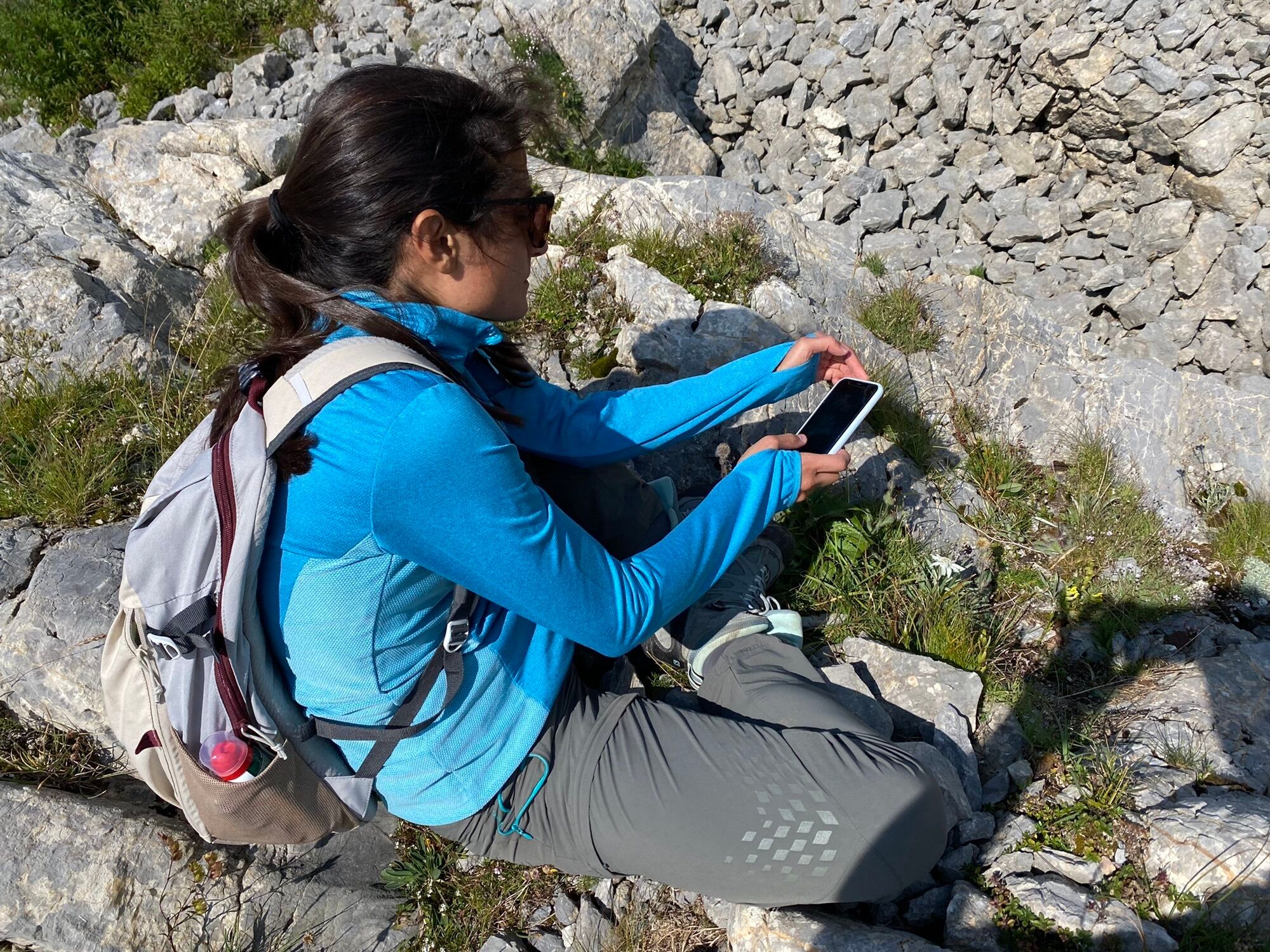
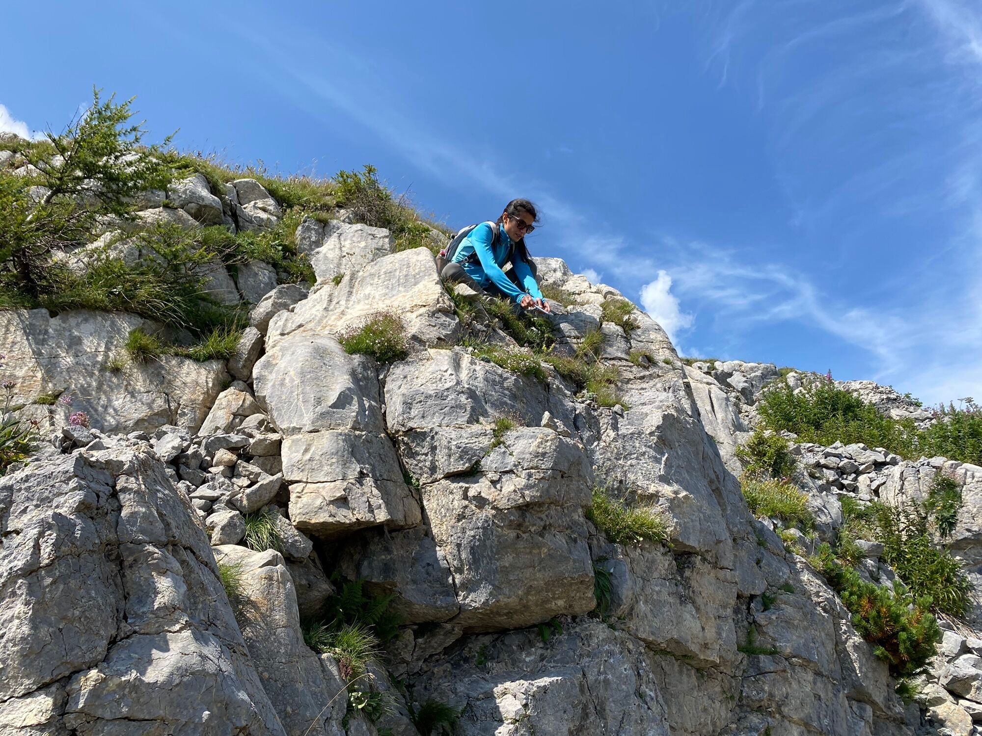
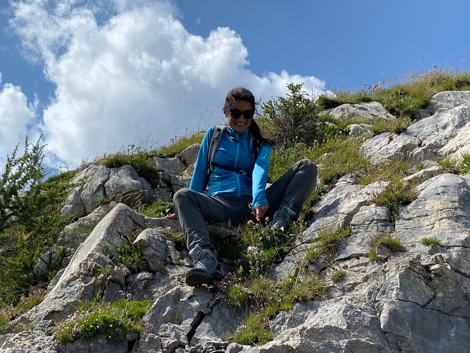
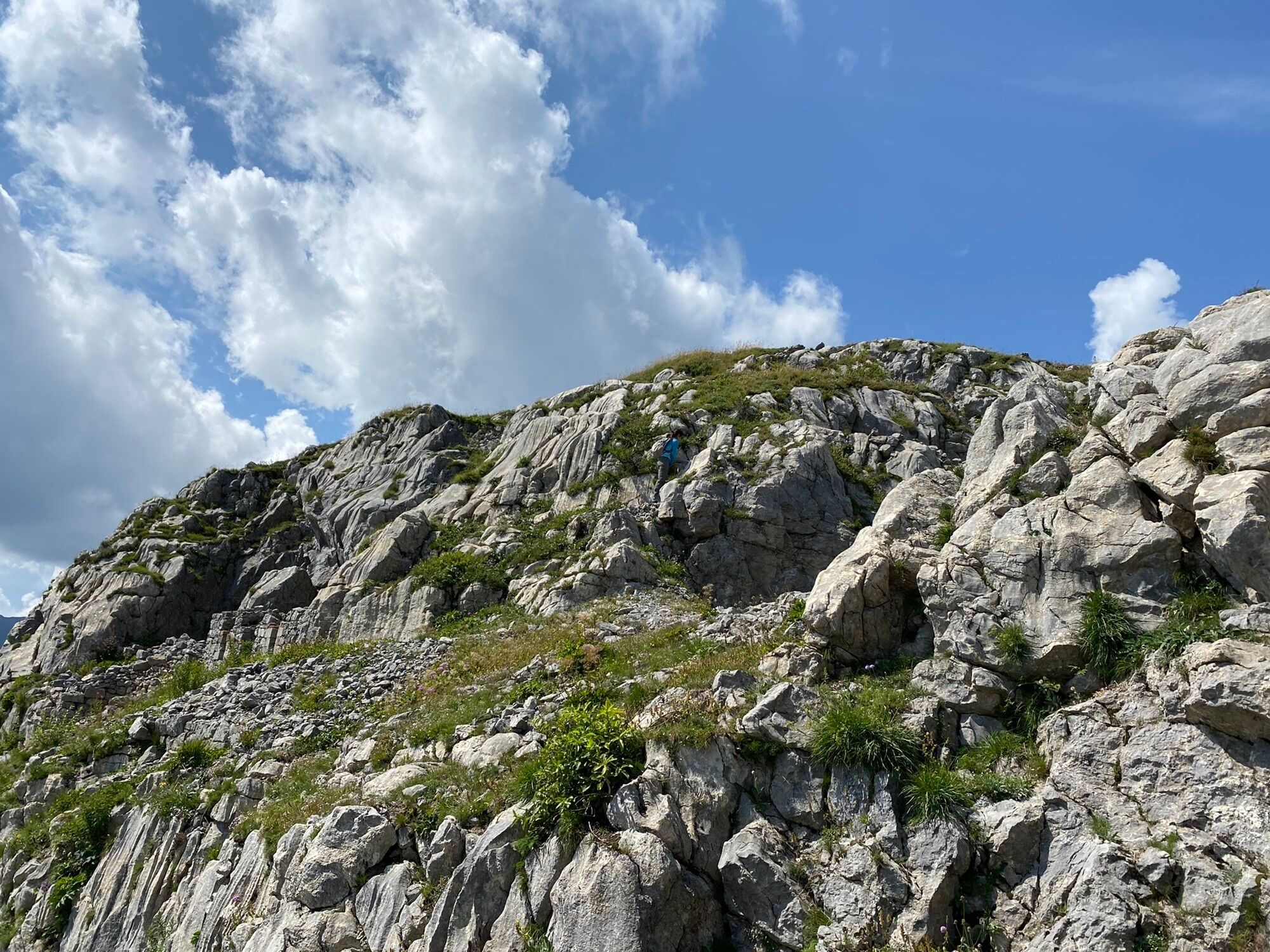
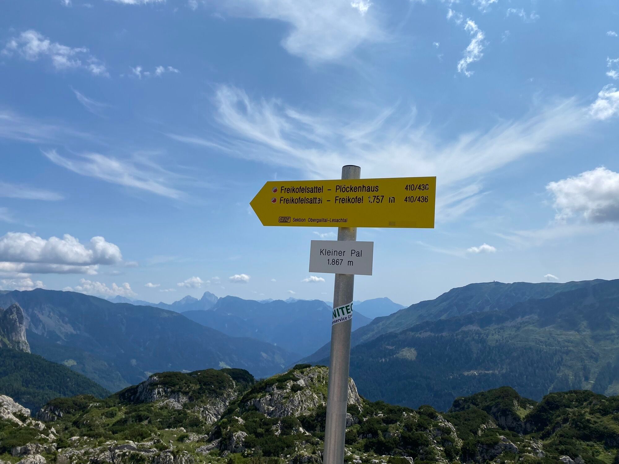
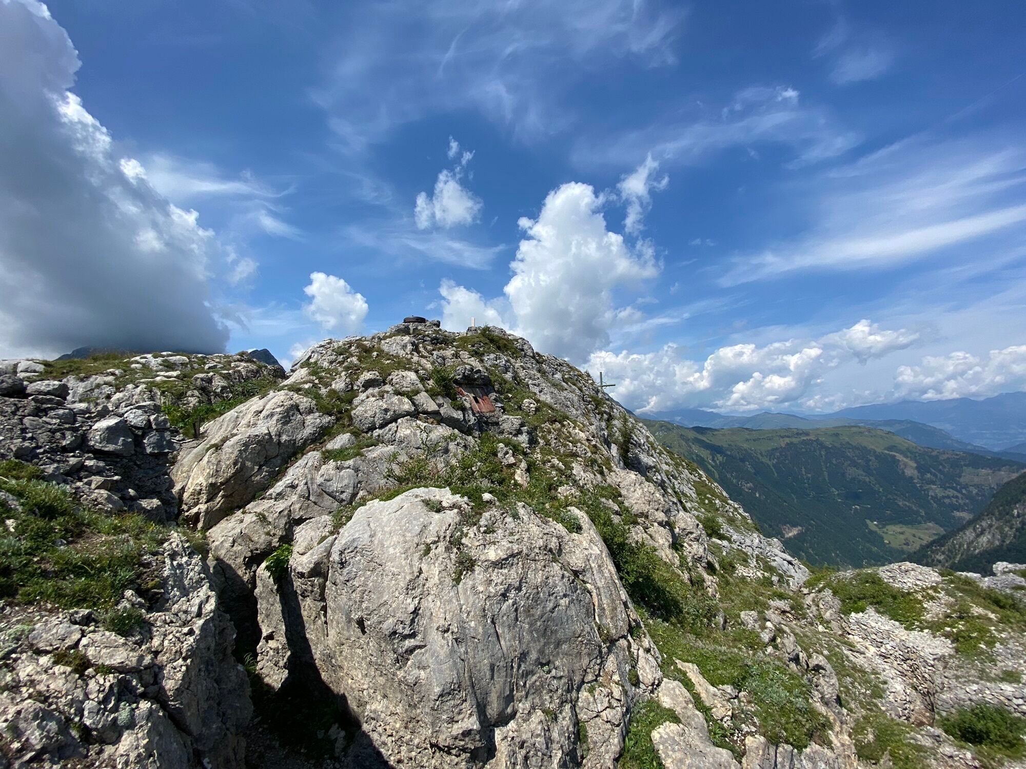
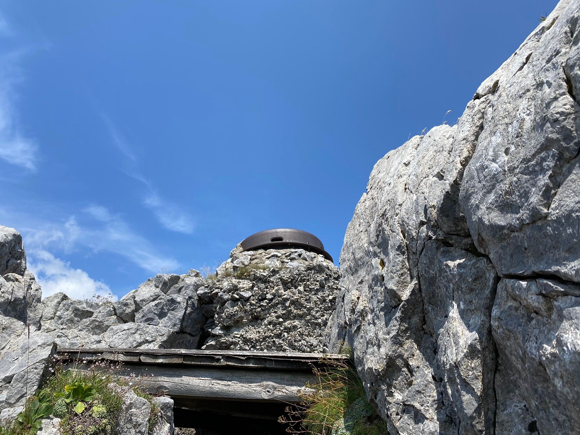
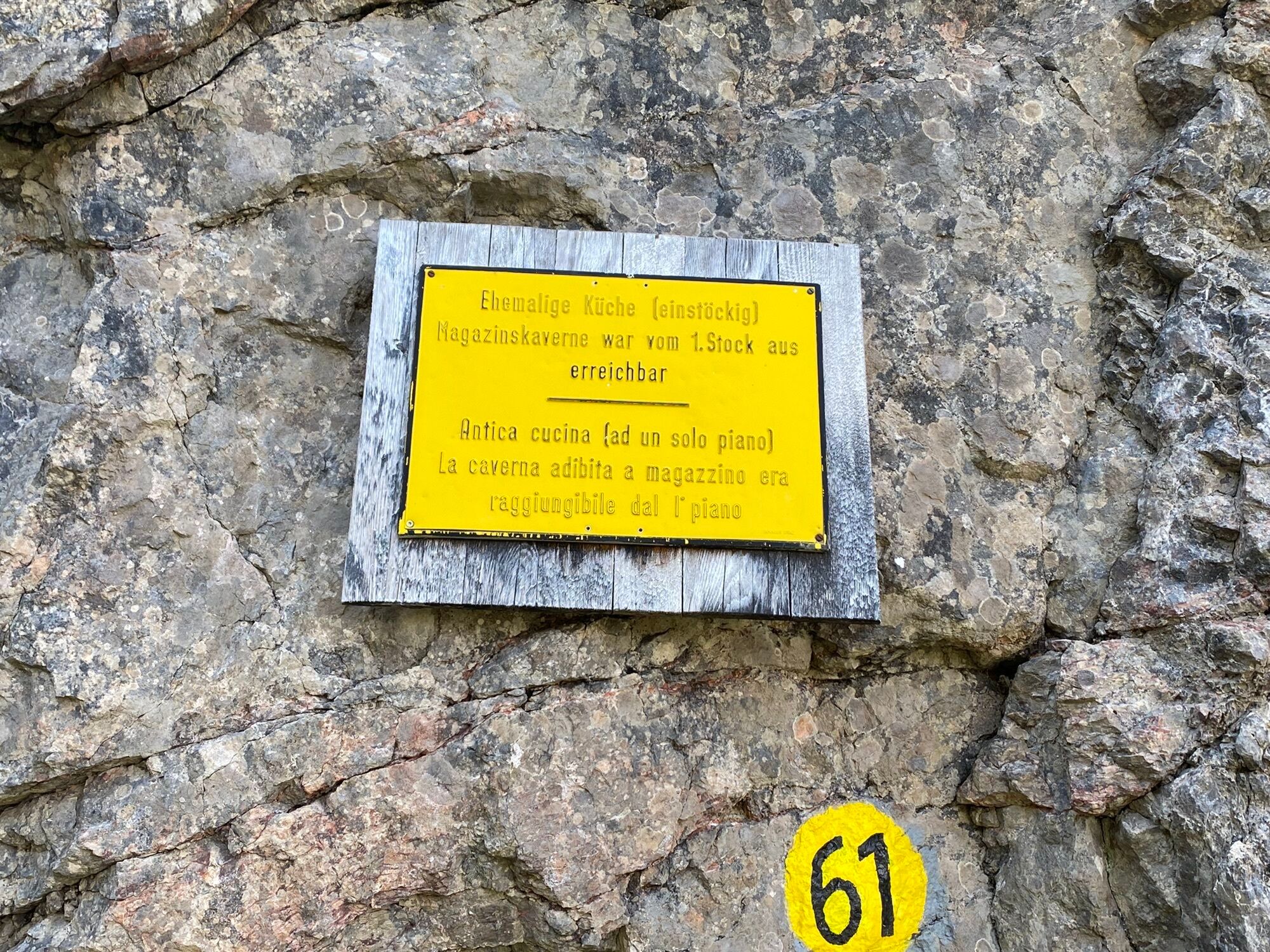
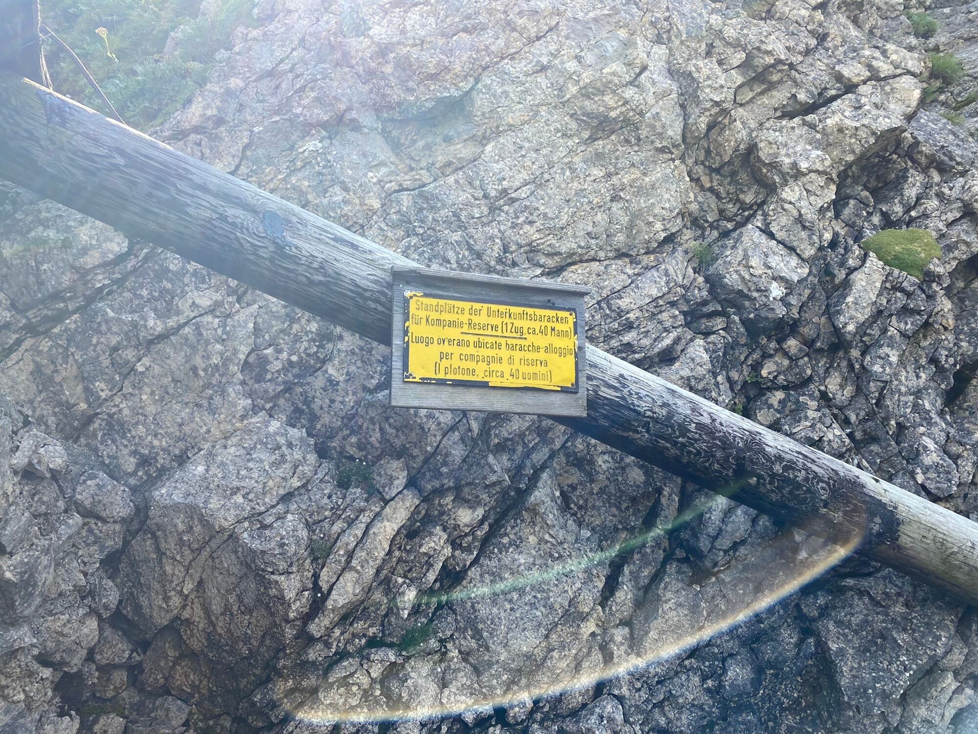
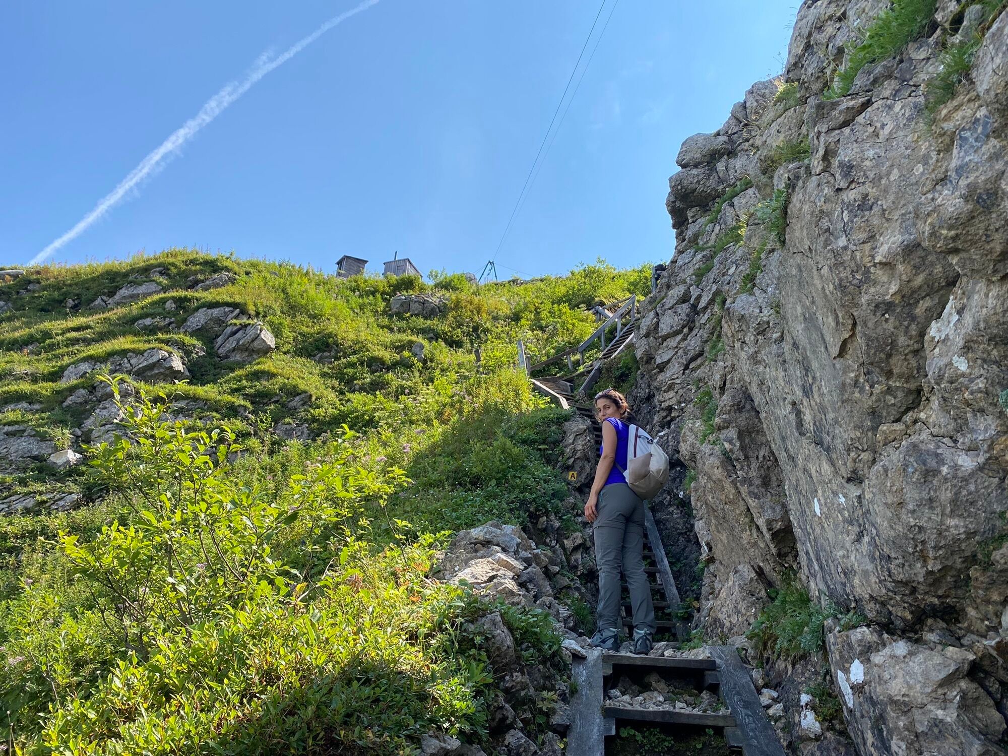
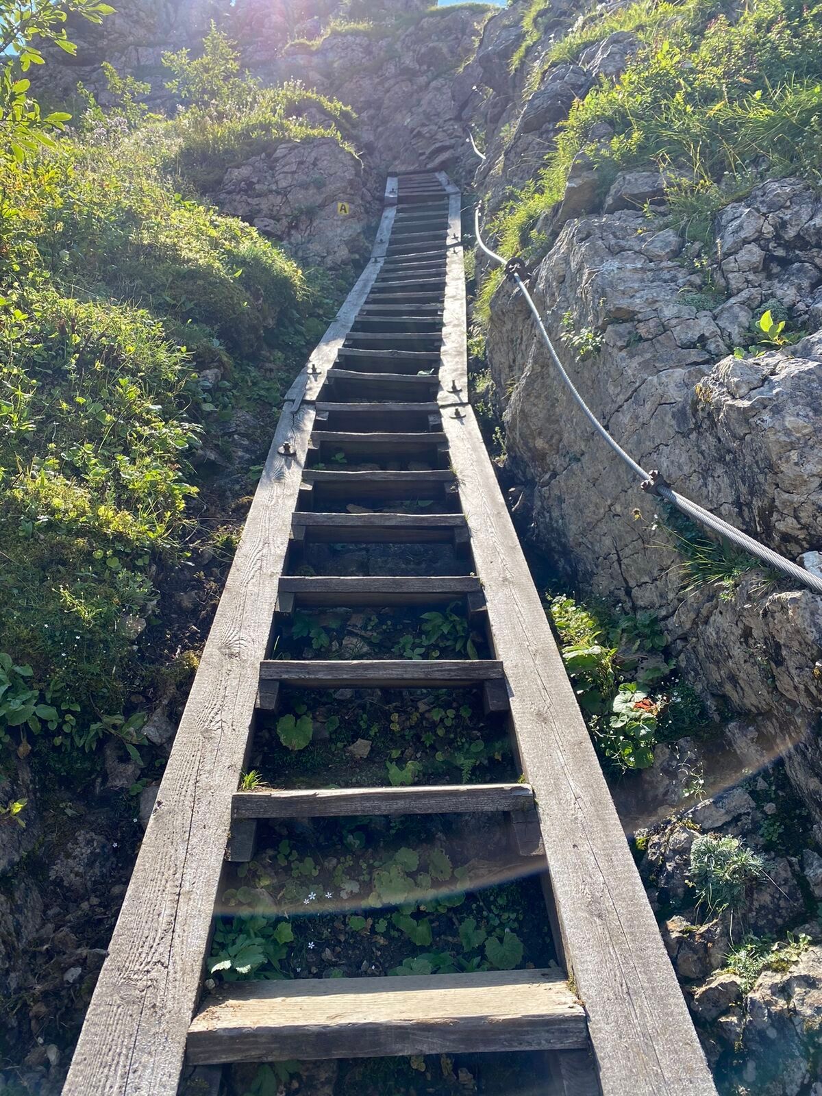
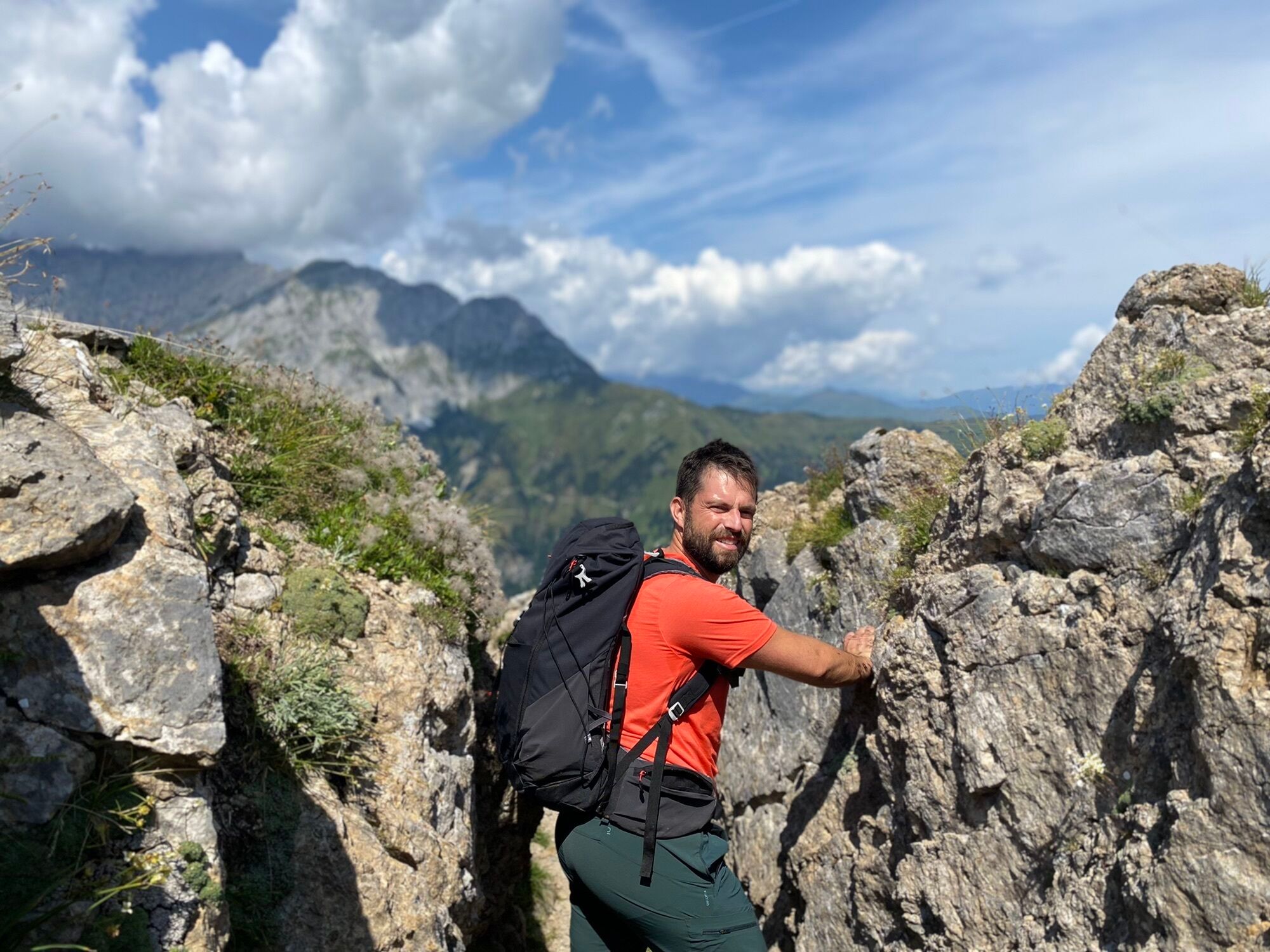
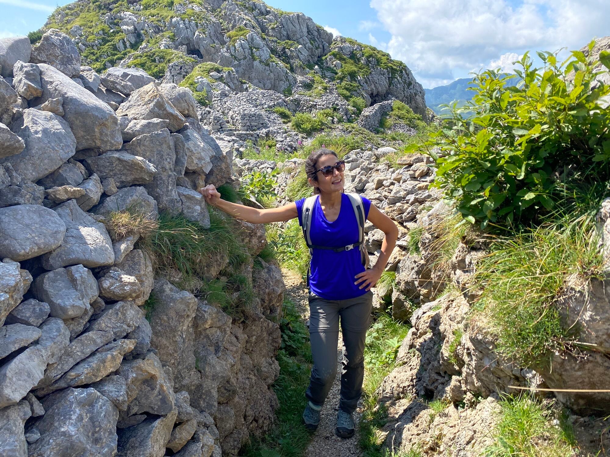
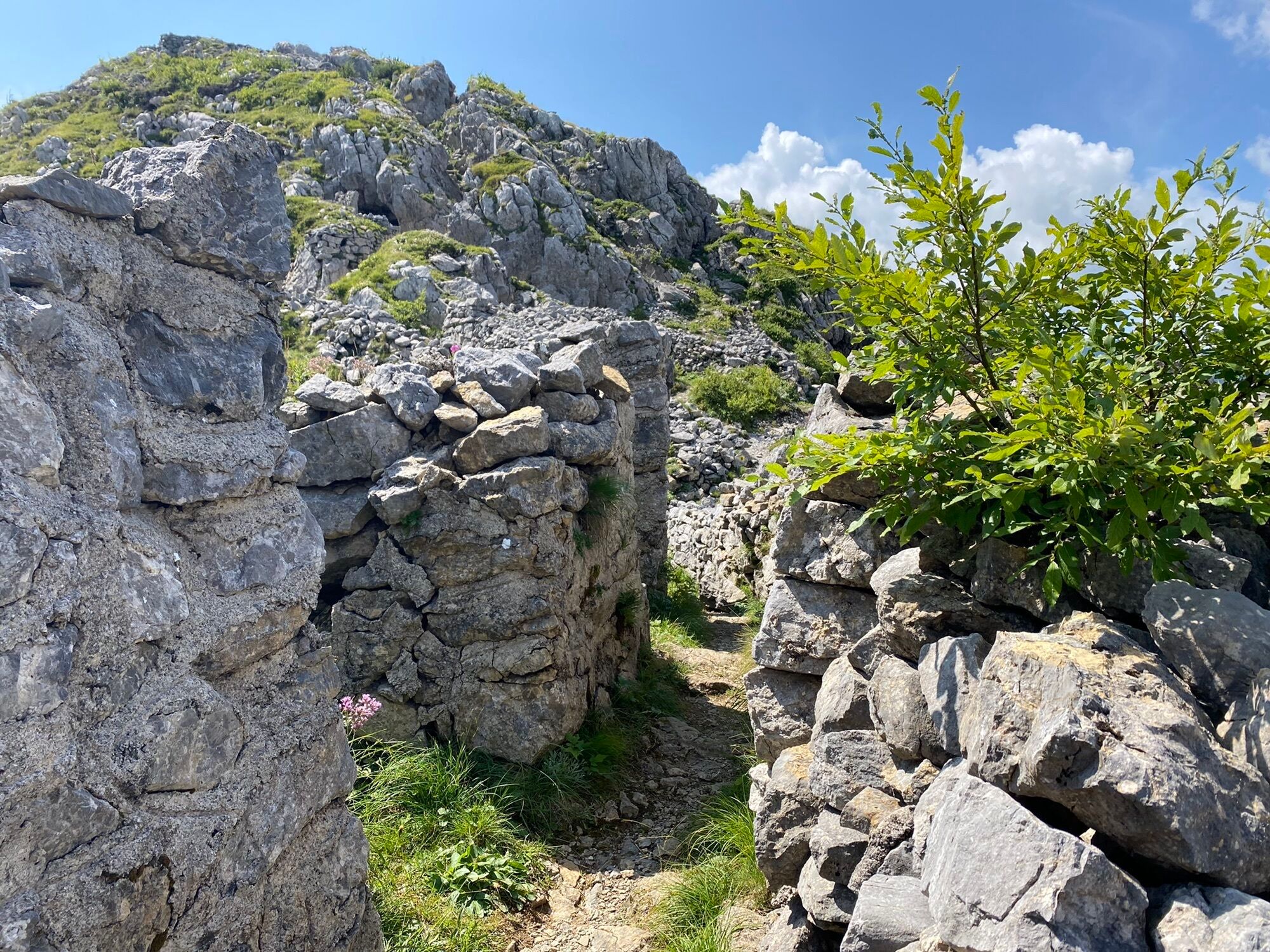
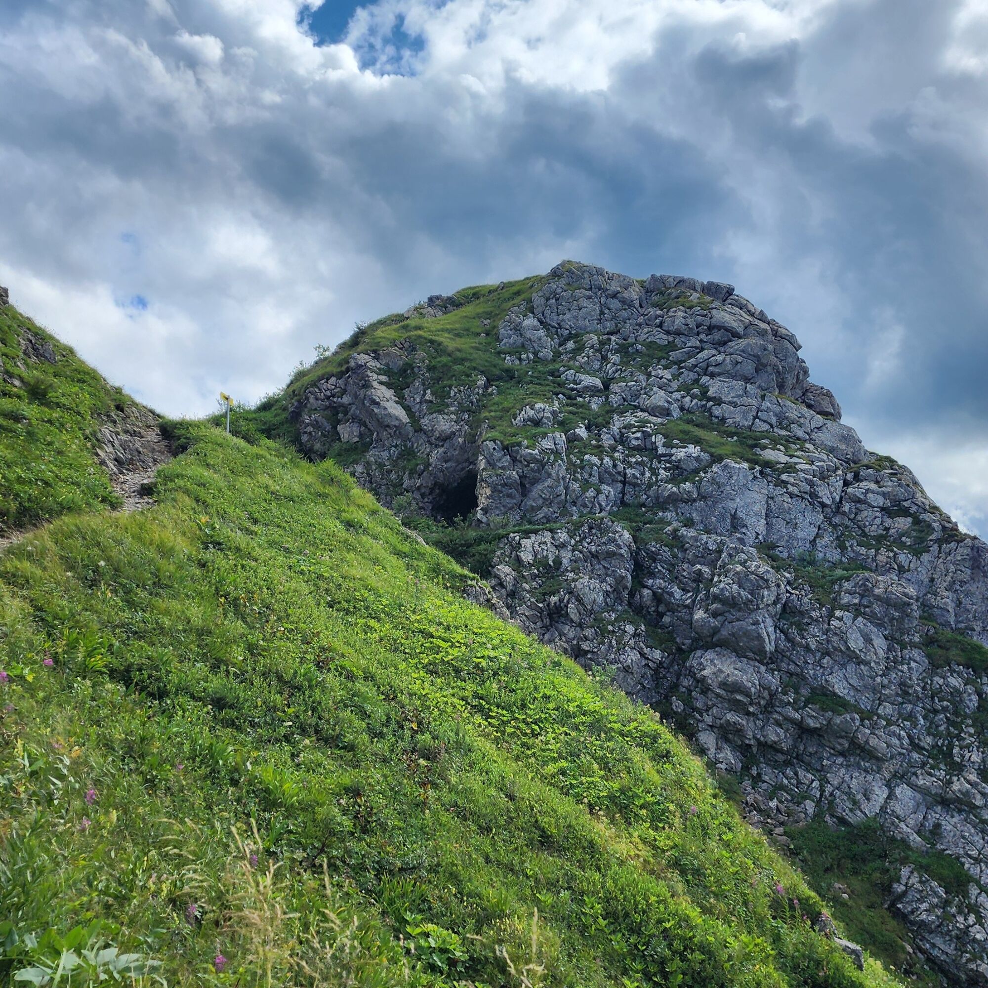
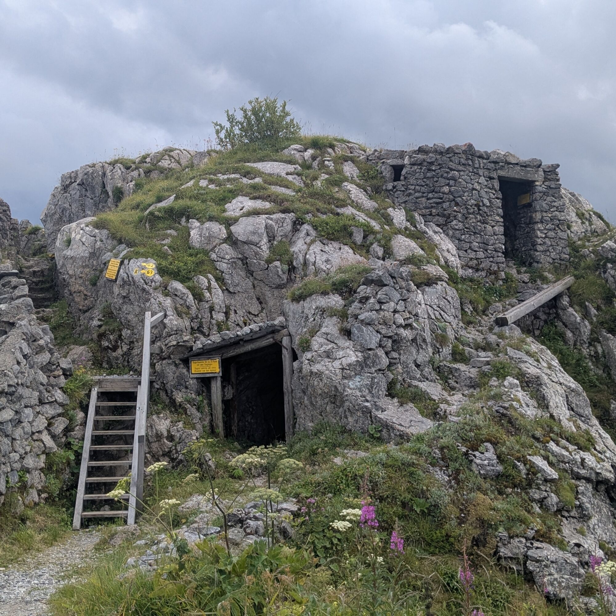
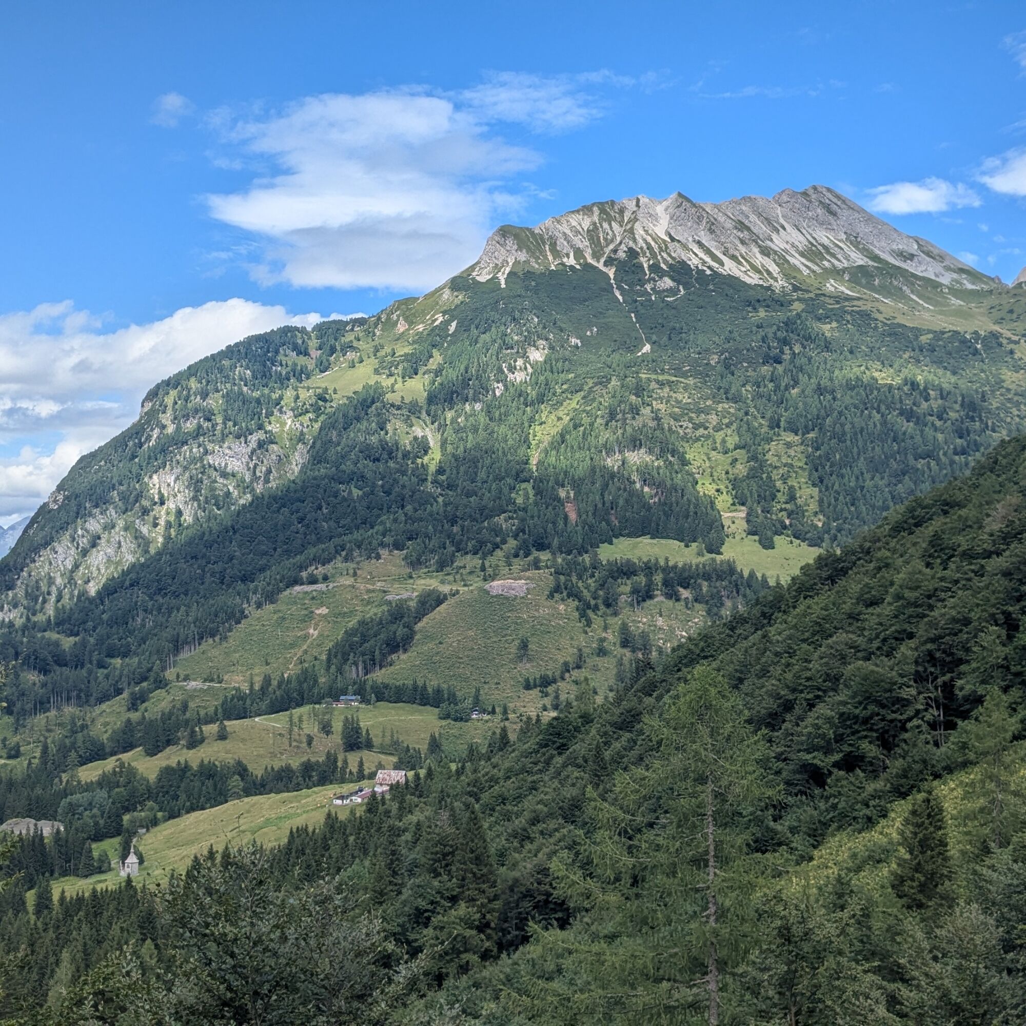
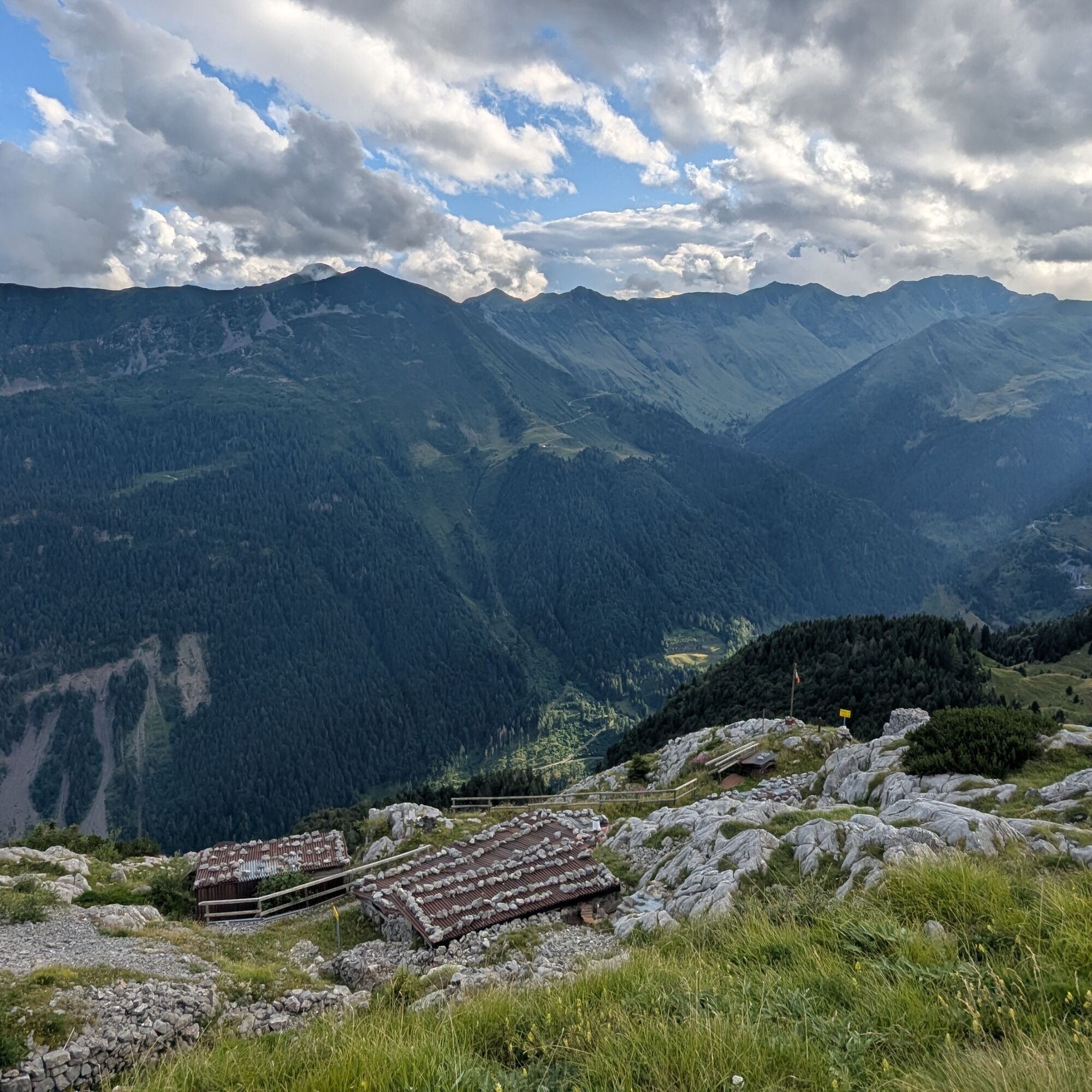
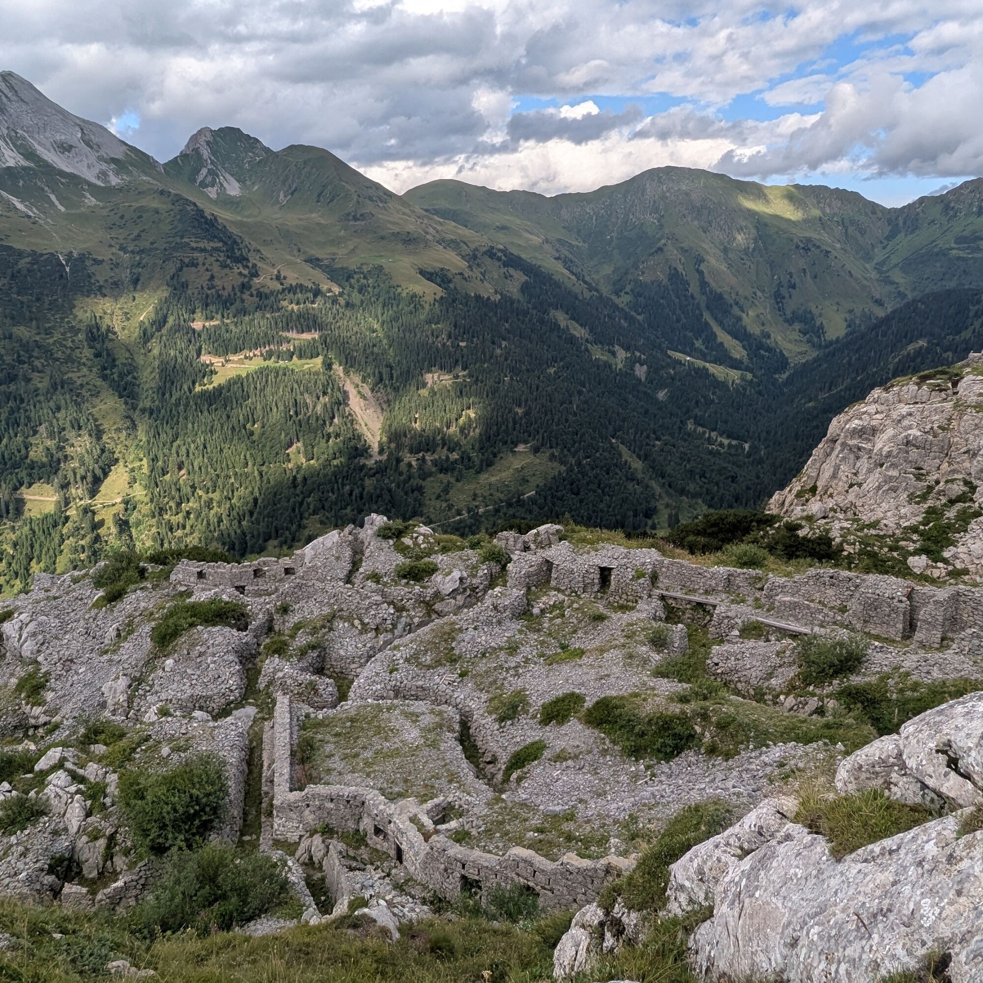
We descend from Passo Monte Croce Carnico, travel through the long tunnel and emerge in Austria: here, on the right, we find the Plöckenhaus parking lot (1225 m) waiting for us. We head back along the paved road for a few dozen meters and take the forest road on the left (trail signs 434). We pass the first two hairpin bends ignoring any forks and find the signs for trail 434 (1280 m) branching off on the right, uphill, through the vegetation. At this point, a long climb begins up the slope, quickly gaining altitude. We then reach the first historical installations (1440 m); at the forks, signs direct us to Pal Piccolo, which is reached after a fairly tiring climb due to the steepness and on a narrow path. At around 1800 m, the first caves carved into the rock walls appear on our left; after the last hairpins, we reach a saddle, and immediately after we are at Pal Piccolo (1811 m). The open-air museum should be explored slowly, which takes time but is highly recommended. After passing the so-called "trincerone", you follow some sections of the Italian front; the remains become increasingly sparse and disappear. From Pal Piccolo, we follow trail 401 towards Freikofel/Cuelat. We descend to the 1800 m fork and take a left downhill. A short climb and we arrive at Freikofelsattle (1617 m) and at a fork: we take the direction Freikofel, towards east. This is the most "demanding" point of the entire loop; it involves climbing almost 150 meters of altitude on a narrow path with slippery rocks and occasional high rocks where it is advisable to help yourself with your hands. This way, you reach the first positions of the Freikofel, and shortly after you arrive at the summit of Cuelat (1757 m), another open-air museum to explore. From the summit, it is recommended to descend on the Italian side (carefully) and reach the terraces where some huts have been reconstructed; you can follow the Italian flag waving much lower. A sign guides you toward an "intact trench" - be careful on the path, it's narrow; at the end, you find the remains of a position; then you return to the summit - where the flags are - by the same route you followed downhill. Now the return to the loop: return to Freikofelsattle and take trail 436 descending to the right, which connects to a forest road (1500 m), follow it downhill. We pass a small lake and come out at the parking lot.

Ano
Normal hiking equipment
Recommended period: spring (without snow), summer, and autumn, exclusively in good weather.
T3
The initial climb is rather intense. The only other challenging point is the climb from the Freikofel saddle (Freikofelsattle) to Freikofel. The positions can finally be explored carefully: watch your head, the altitude drops, holes, and also the metal remnants around (not least the barbed wire). Children MUST ALWAYS be supervised, as much of the historical remains have NO protections.
Tested by Bagaglio Leggero


Oblíbené prohlídky v okolí
- 4,5
Karnischer Höhenweg – Etappe 4: Hochweißsteinhaus – Wolayersee Hütte
heavydálková pěší trasa 15,9 km - 4,7
Obergail - Obergailer Alm - Obergailer Lake - Enderberg hut - Source for Health & Peace - Madonna circular hiking route - Obergail
středníTuristika 11,4 km - 4,9
Karnischer Hauptkamm - Hohe Warte 2.780m - Hike and Bike
heavyHorská turistika 19,5 km - 4,3
Mountain bike route from the Hubertus Chapel to the Wolayersee
heavyMountainbike 9,06 km - 3,7
Cellon-Stollen und Senza Confini auf den Cellon und Steinberger Weg zum Abstieg
středníVia ferrata 7,09 km - 3,6
RW_N61 Kleiner Pal (1,867 m)
heavyTuristika 6,52 km - 4,3
WW_N18 flower paradise Mussen
středníTuristika 6,52 km - 4,1
Assing - Oberraster Alm - Lumkofel (2,287 m)
středníTuristika 9,45 km - 5,0
Valentin-Wolayersee-Runde
středníTuristika 12,4 km - 4,5
03 Südalpenweg, 24. Etappe: Valentinalm - Wolayerseehütte
střednídálková pěší trasa 9,63 km
Pěší turistika a stopování


Nenechte si ujít nabídky a inspiraci pro vaši příští dovolenou
Vaše e-mailová adresa byl přidán do poštovního seznamu.