


Obergail - Obergailer Alm - Obergailer Lake - Enderberg hut - Source for Health & Peace - Madonna circular hiking route - Obergail
Fotografie našich uživatelů
-

 © MarianneVytvořeno dne 15.10.2025
 -
 © MarianneVytvořeno dne 15.10.2025
 -

 © Robert TrefoniukVytvořeno dne 24.07.2025
 -
 © Robert TrefoniukVytvořeno dne 24.07.2025
 -
 © Robert TrefoniukVytvořeno dne 24.07.2025
 -
 © Robert TrefoniukVytvořeno dne 24.07.2025
 -
 © Ursula FriedrichVytvořeno dne 13.07.2025
 -
 © Ursula FriedrichVytvořeno dne 13.07.2025
 -
 © owspu2stkVytvořeno dne 18.06.2025
 -
 © owspu2stkVytvořeno dne 18.06.2025
 -
 © owspu2stkVytvořeno dne 18.06.2025
 -
 © owspu2stkVytvořeno dne 18.06.2025
 -
 © owspu2stkVytvořeno dne 18.06.2025
 -
 © owspu2stkVytvořeno dne 18.06.2025
 -

 © Franz DvoranVytvořeno dne 23.01.2026
 -
 © Franz DvoranVytvořeno dne 23.01.2026
 -
 © Franz DvoranVytvořeno dne 23.01.2026
 -
 © WindgaVytvořeno dne 25.06.2025


Attention: Please inquire about the current trail and weather conditions before each route!
We start in Obergail at Alpenhotel Wanderniki and walk leisurely along the forest road, passing the new bee educational...
Attention: Please inquire about the current trail and weather conditions before each route!
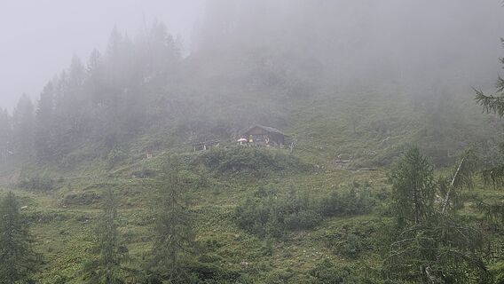
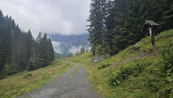
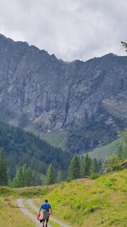
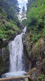
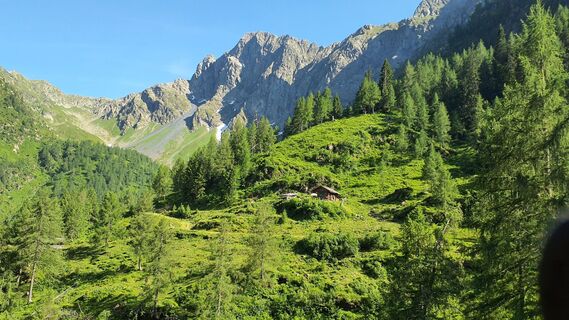
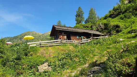
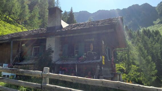
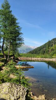
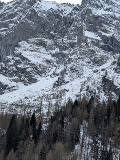
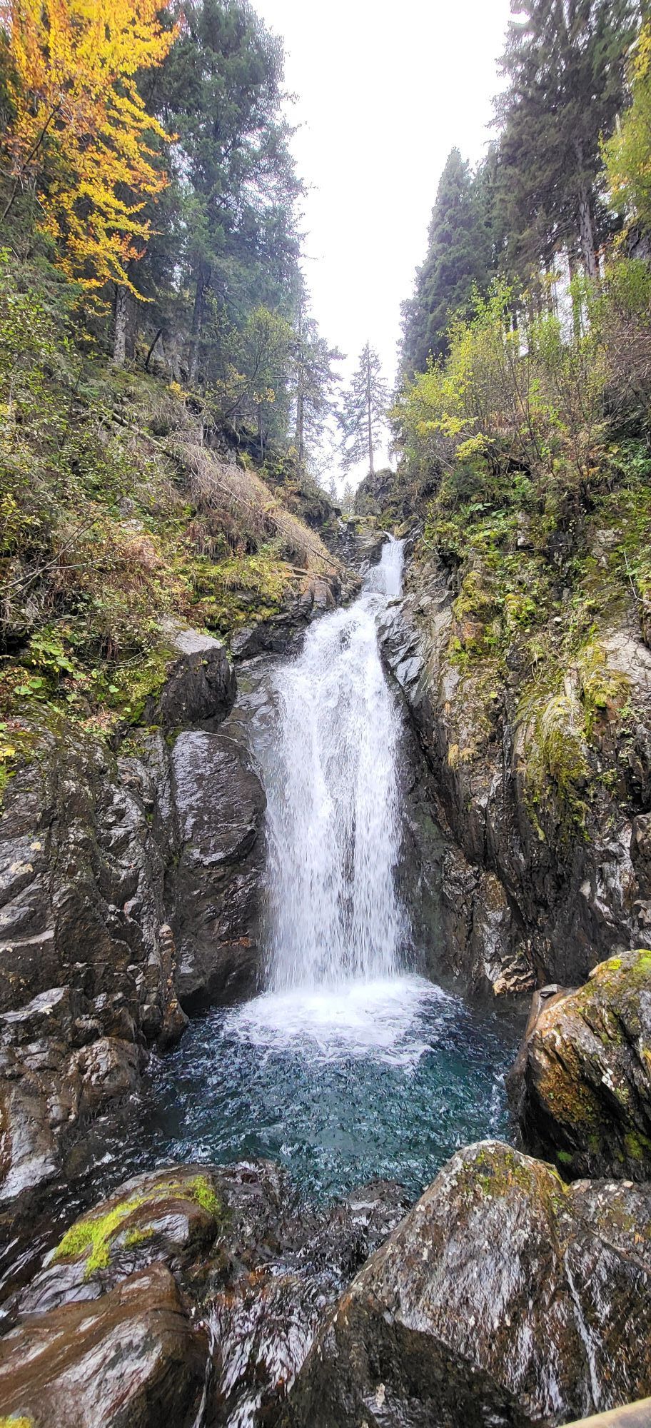
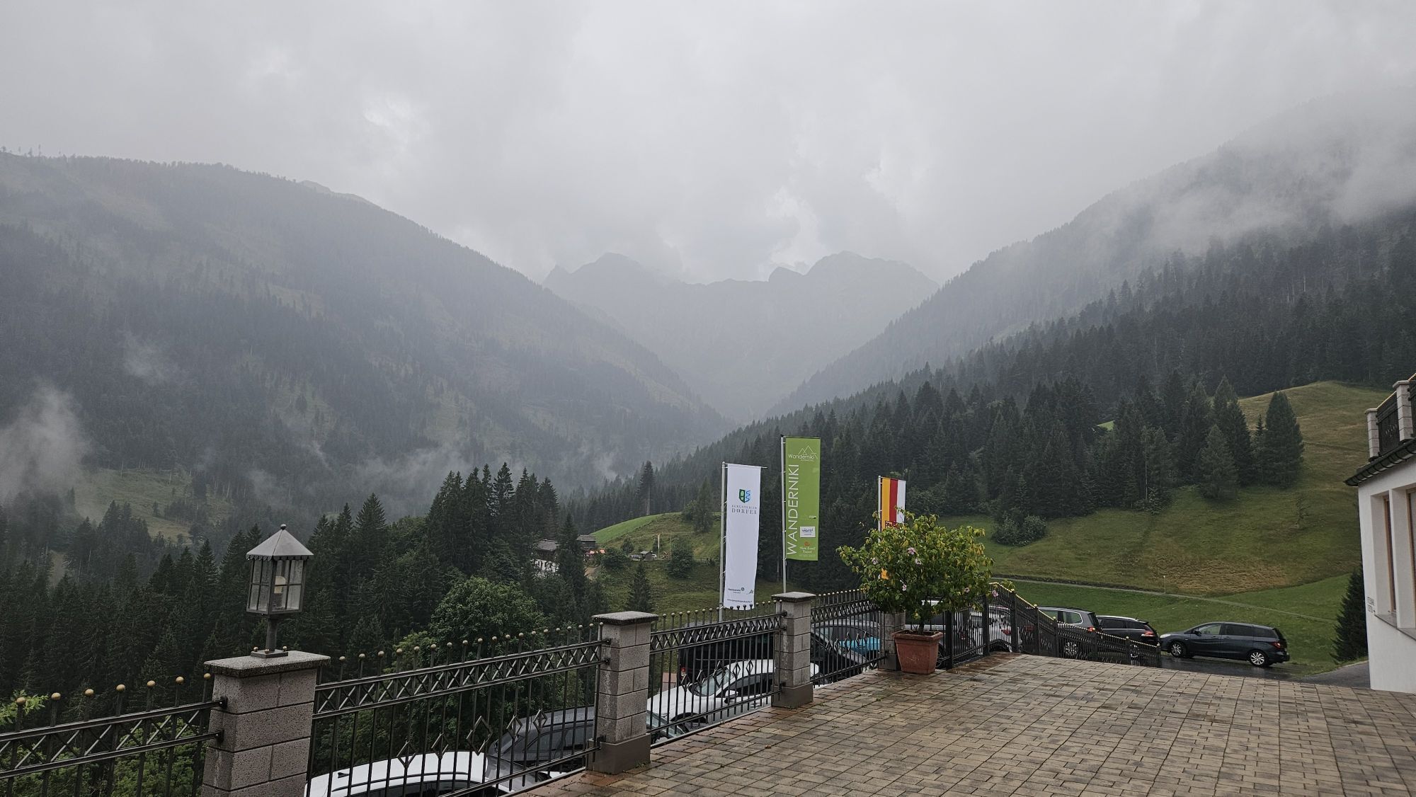
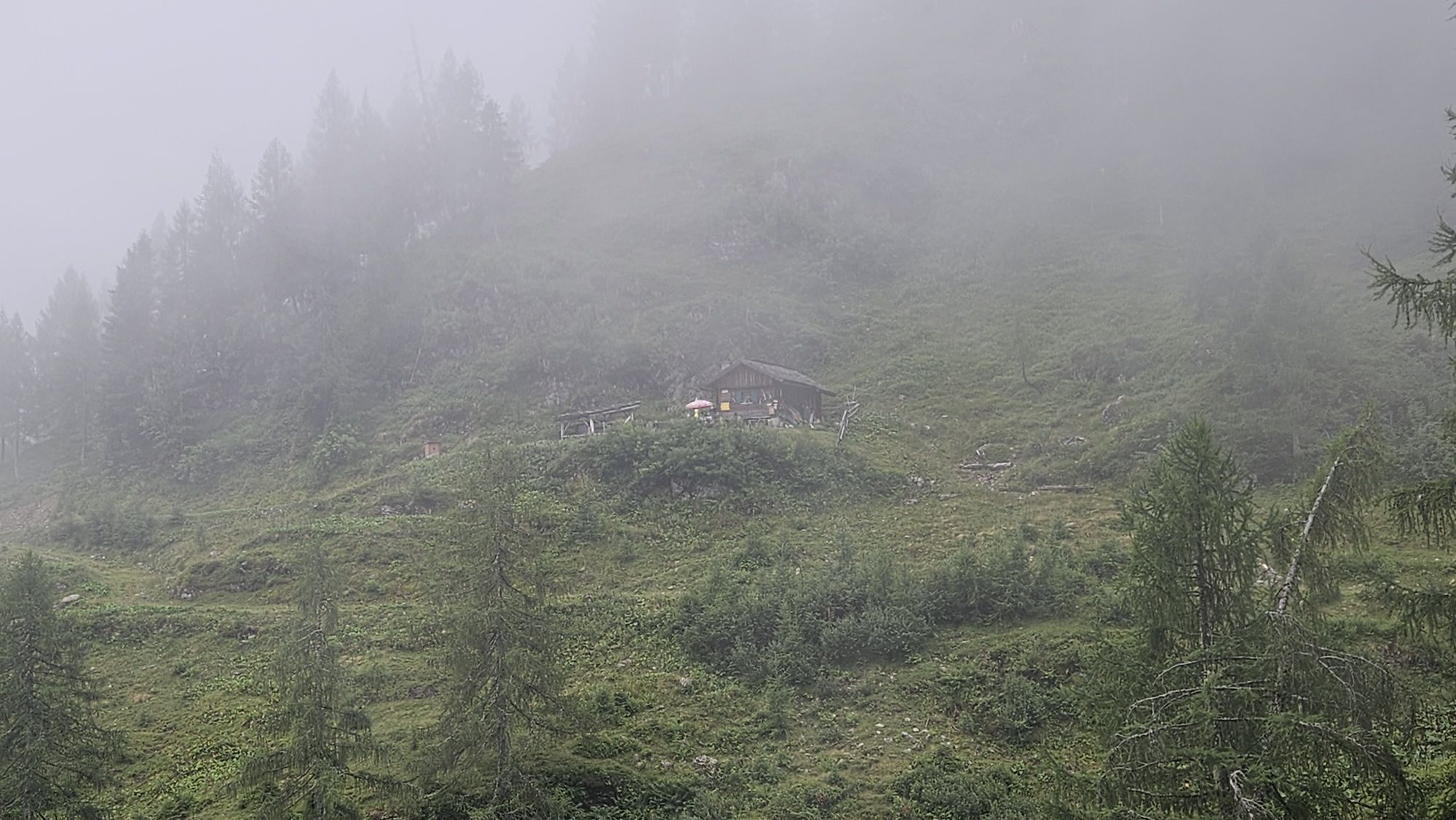
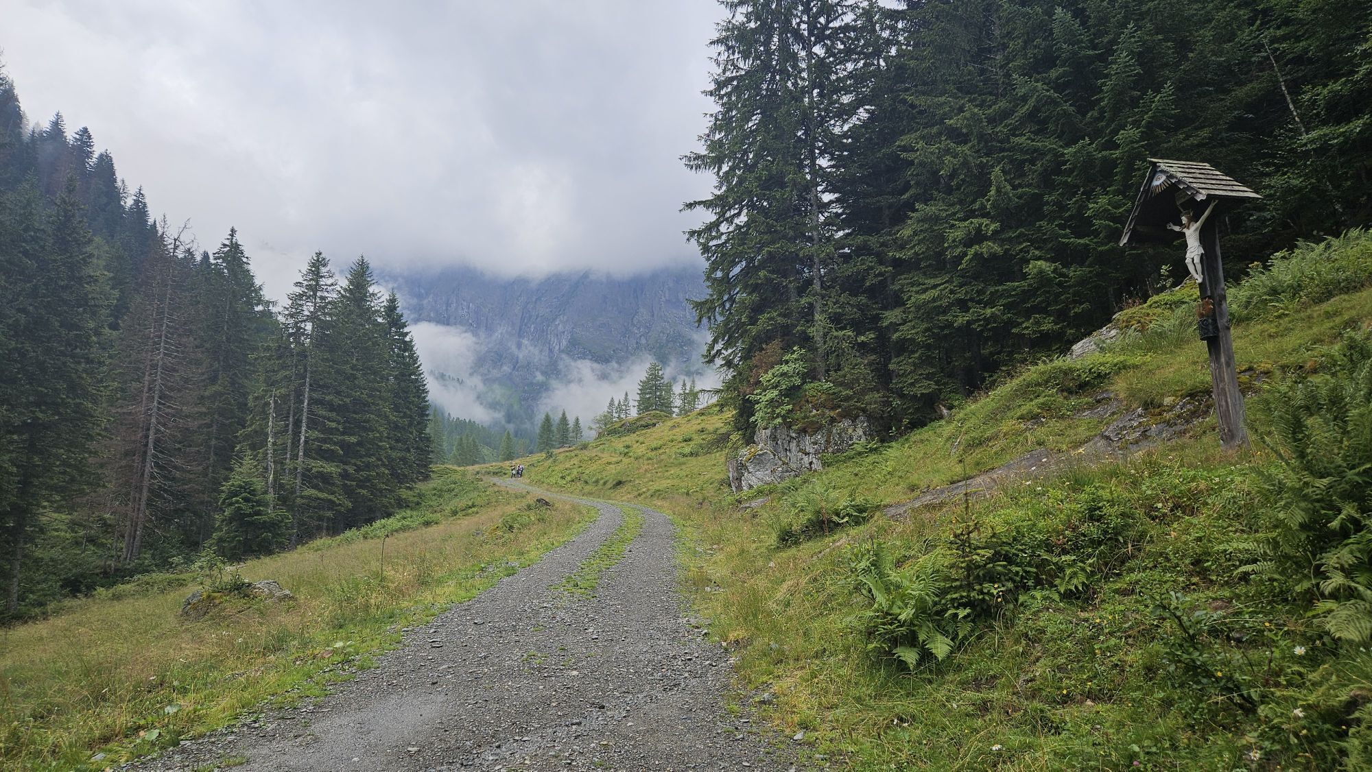
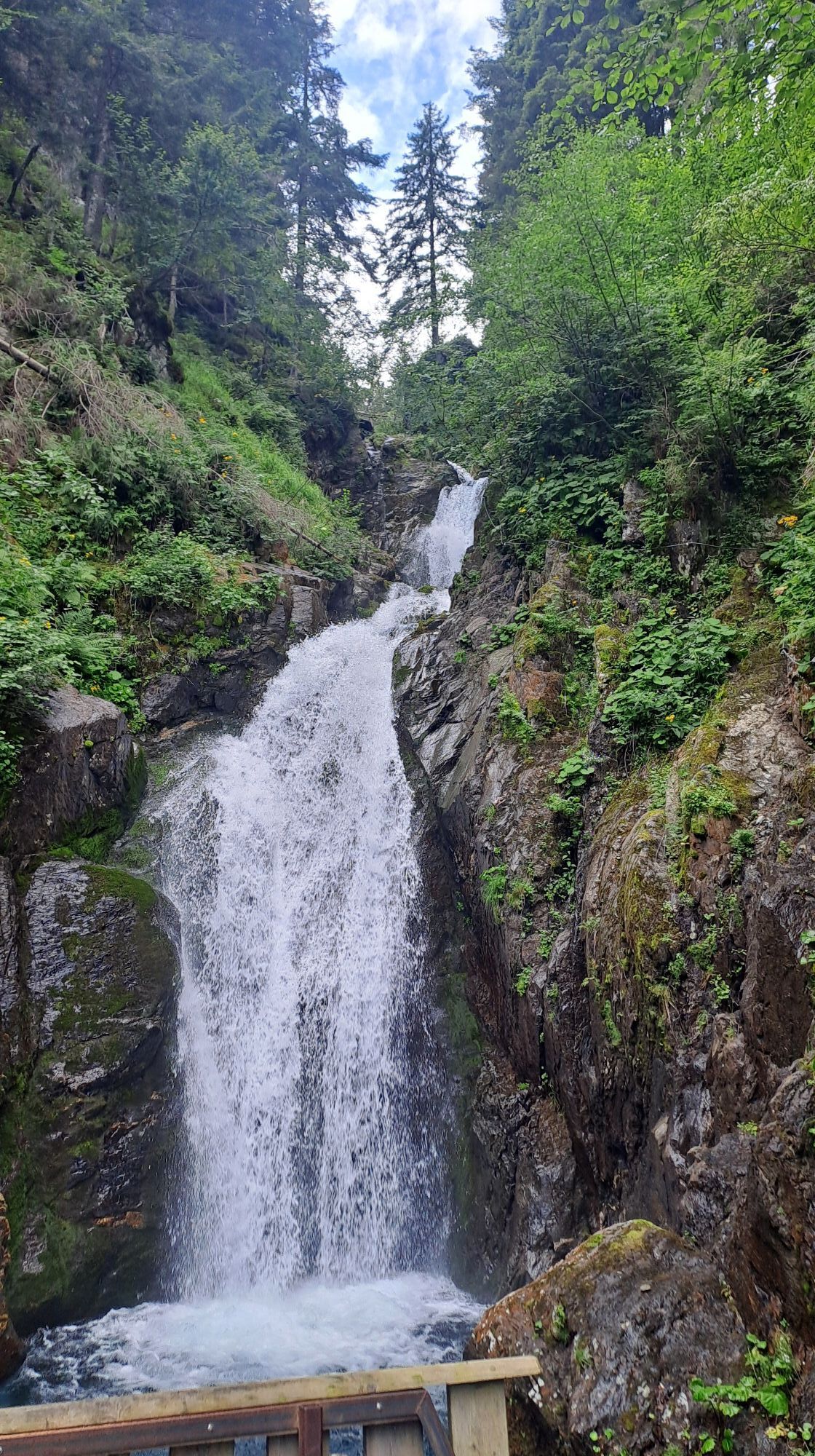
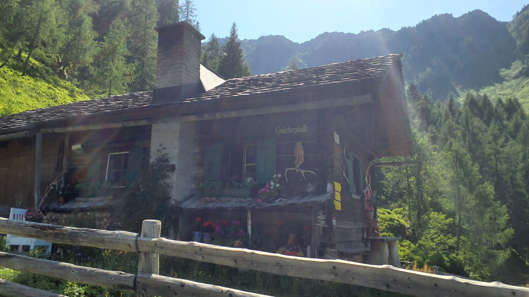
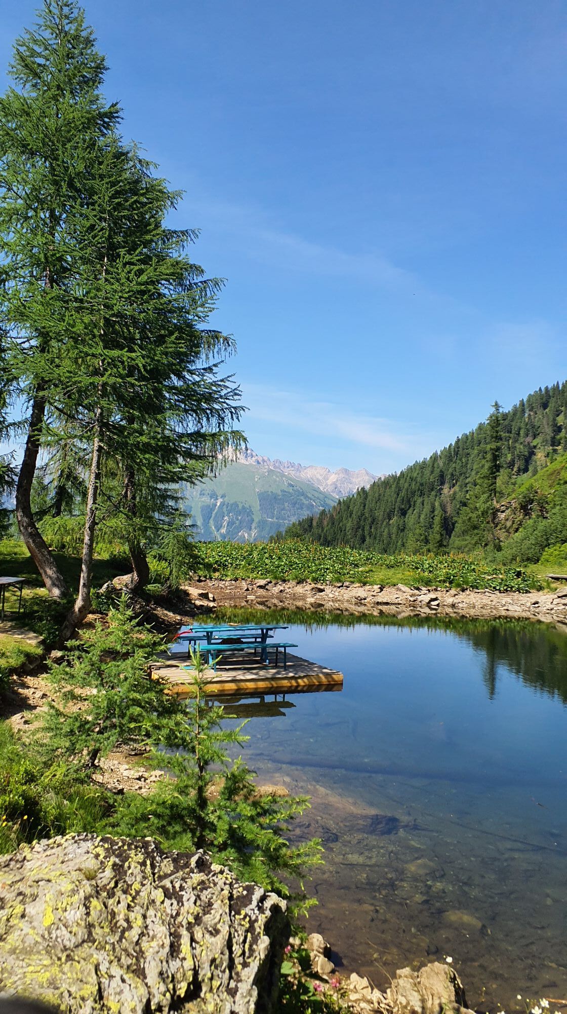
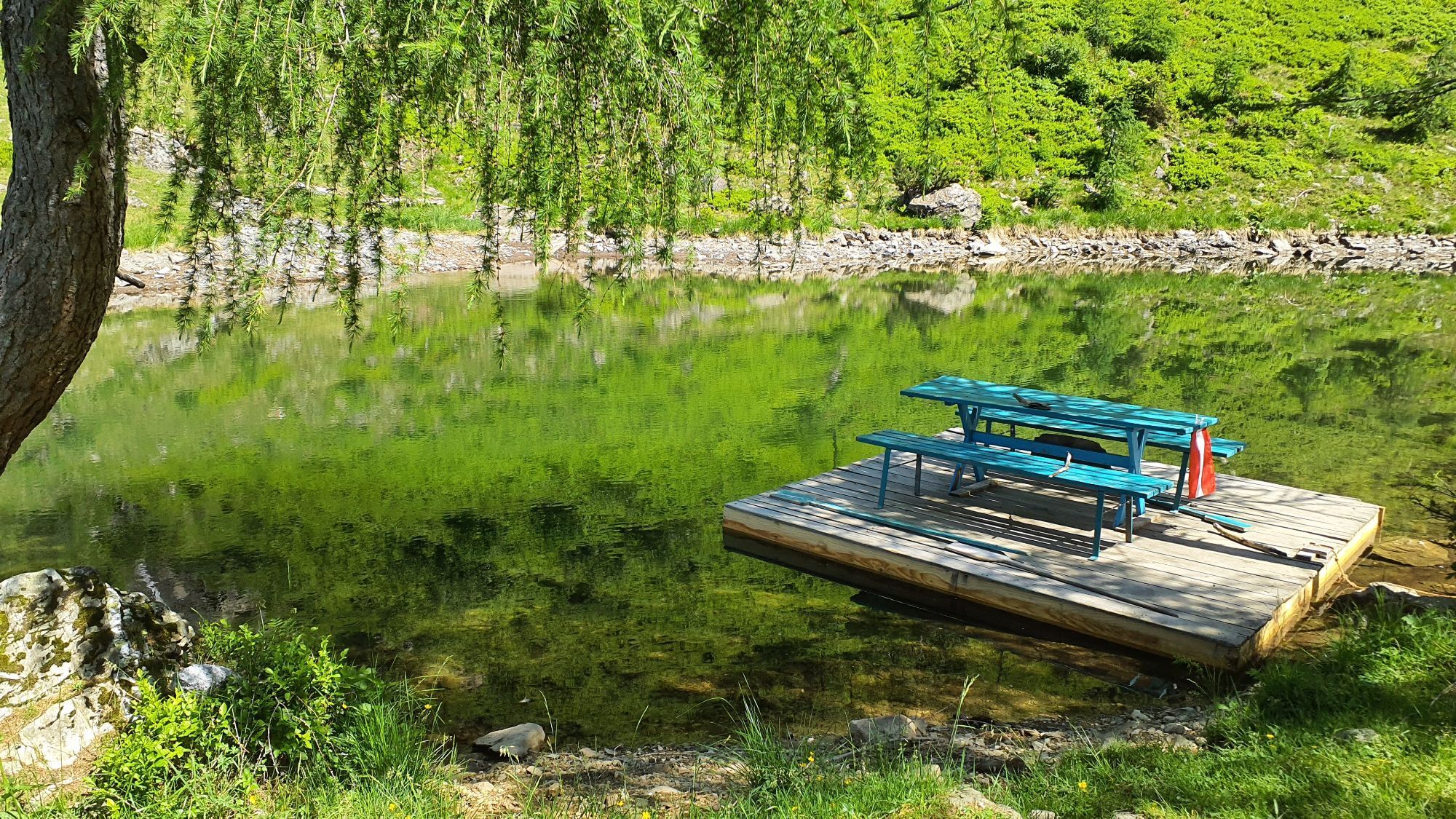
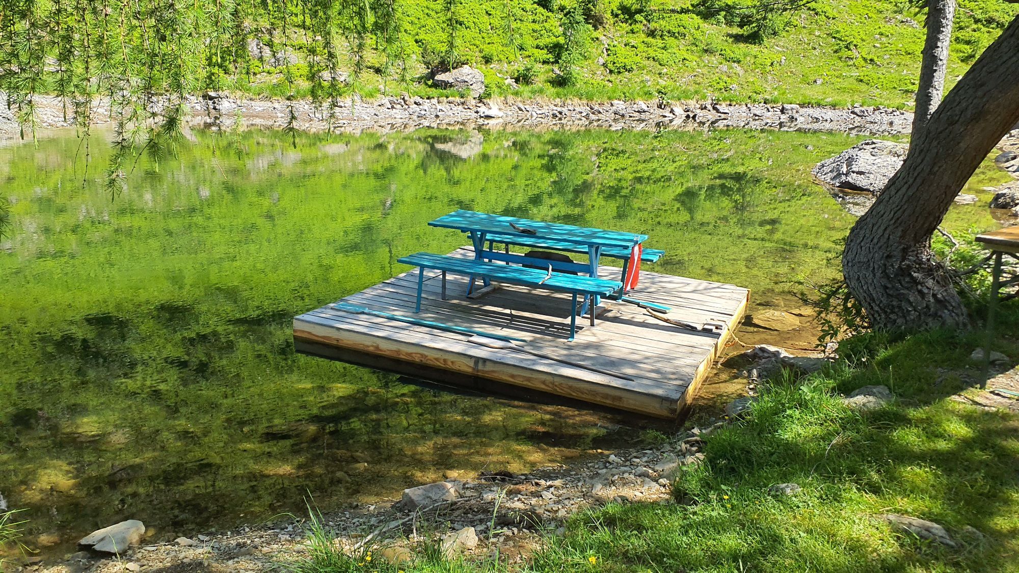
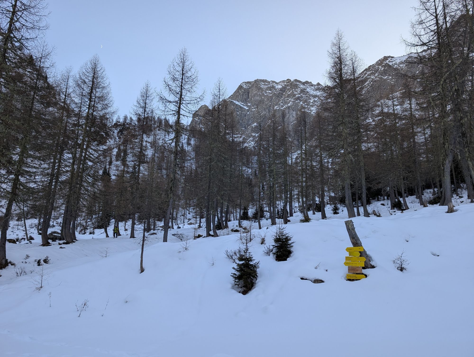
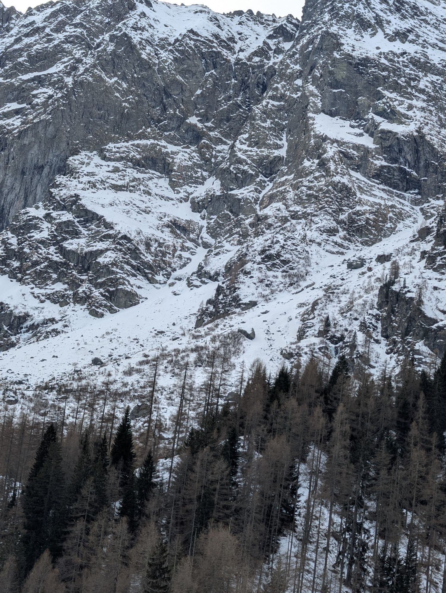
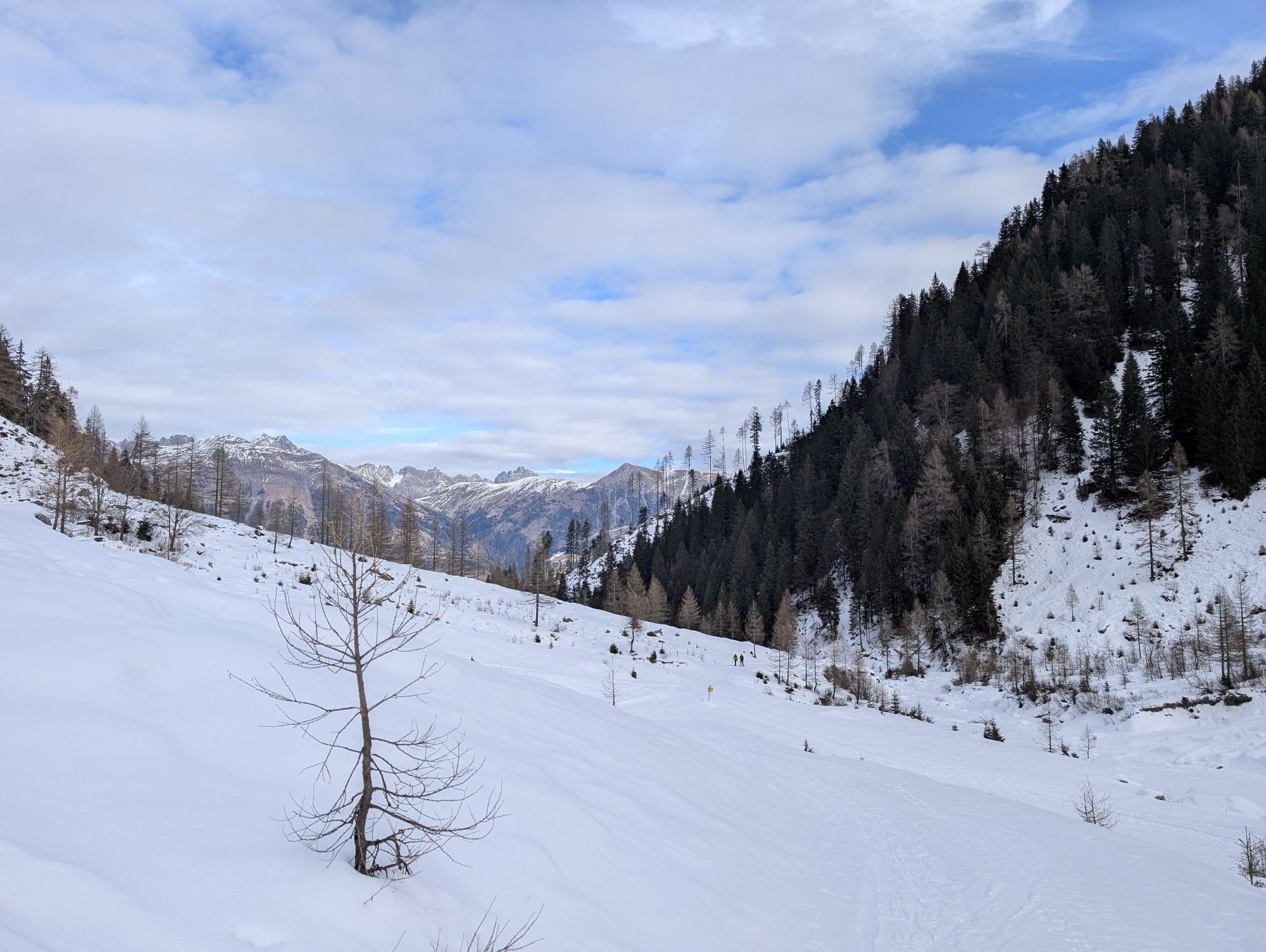
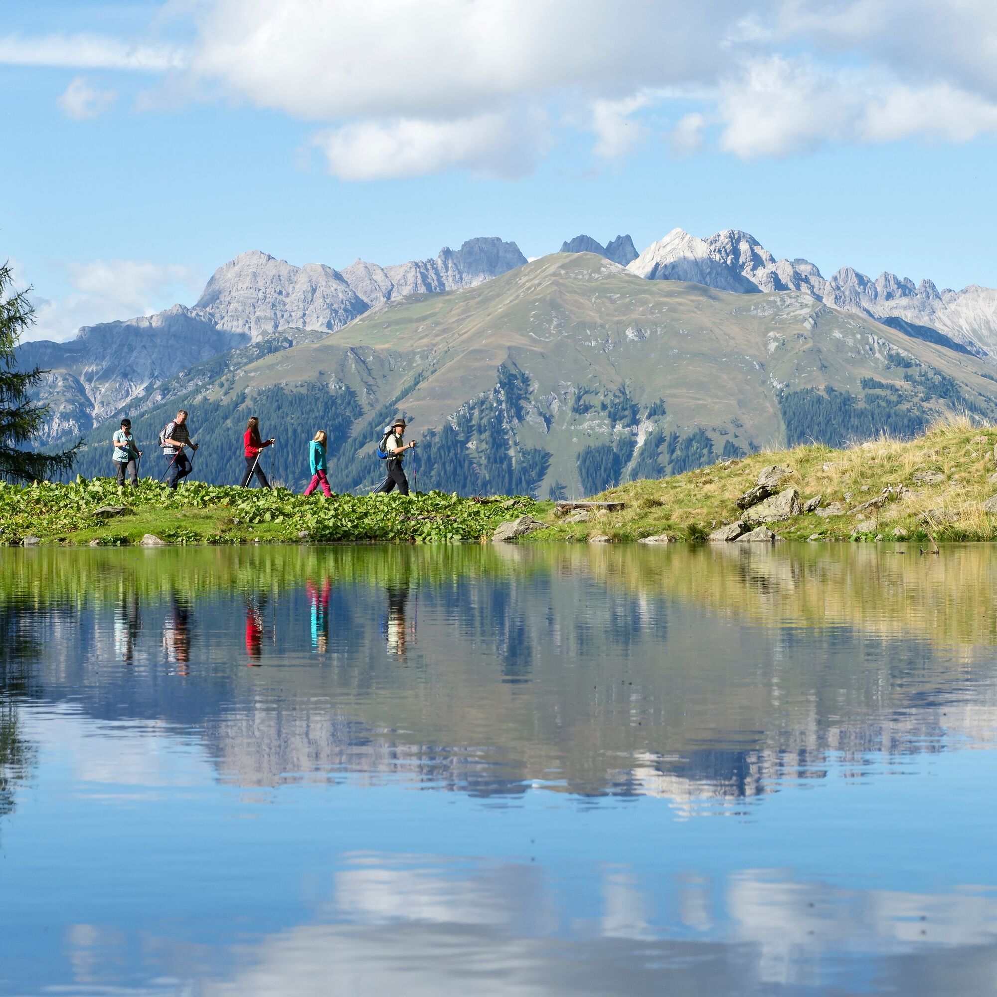
We start in Obergail at Alpenhotel Wanderniki and walk leisurely along the forest road, passing the new bee educational trail in Obergail and the fairy-tale camp. From there, you ascend a wide path to the platform at the foot of the Obergail waterfall. Here you can feel the energy of the falling water up close. From there, you return to the forest road. Now you are just before the Obergailer Alm with the mighty rock face massif in front of you. Along the alpine pasture floor, you cross the Obergailer stream twice until you reach the ascent to the Obergailer lake. Upon arrival, the lake awaits hikers with crystal clear water and its own snack raft. Afterward, continue to the source for "Health and Peace." From there, you descend again and hike back along the Madonna panoramic hiking route to the starting point.
We start in Obergail at Alpenhotel Wanderniki and walk leisurely along the forest road, passing the new bee educational trail in Obergail and the fairy-tale camp. From there, you ascend a wide path to the platform at the foot of the Obergail waterfall. Here you can feel the energy of the falling water up close. From there, you return to the forest road. Now you are just before the Obergailer Alm with the mighty rock face massif in front of you. Along the alpine pasture floor, you cross the Obergailer stream twice until you reach the ascent to the Obergailer lake. Upon arrival, the lake awaits hikers with crystal clear water and its own snack raft. Afterward, continue to the source for "Health and Peace." From there, you descend again and hike back along the Madonna panoramic hiking route to the starting point.
Attention: Please inquire about the current trail and weather conditions before each route!
Ano
Check the current trail situation or any trail closures before the route.
By car from Liesing in the Lesachtal to Obergail
Liesing in the Lesachtal
Alpenhotel Wanderniki, parking lot at the bee educational trail

Oblíbené prohlídky v okolí
-
4.7
Karlsbader Hütte über Rudl-Eller-Weg
heavyTuristika 5.10 km -
4.5
Karnischer Höhenweg – Etappe 4: Hochweißsteinhaus – Wolayersee Hütte
heavydálková pěší trasa 15.9 km -
4.9
Pirknerklamm (C)
středníVia ferrata 2 km -
4.8
Lienzer Dolomiten-Lasertörl
středníTuristika 13.2 km -
3.9
Karlsbader Hütte - Lienzer Dolomiten
Turistika 8 km -
4.9
Karnischer Hauptkamm - Hohe Warte 2.780m - Hike and Bike
heavyHorská turistika 19.5 km -
5.0
Porzehütte (1.942 m)
světloTuristika 9.01 km -
4.3
Mountainbiketour von der Hubertuskapelle zum Wolayersee
heavyMountainbike 9.06 km -
3.9
Summit hike to the Hochstadel
středníTuristika 7.83 km -
3.7
Cellon-Stollen und Senza Confini auf den Cellon und Steinberger Weg zum Abstieg
středníVia ferrata 7.09 km
Pěší turistika a stopování


Nenechte si ujít nabídky a inspiraci pro vaši příští dovolenou
Vaše e-mailová adresa byl přidán do poštovního seznamu.