


Salzsteig - Steinwenderhütte - Hütter
Úroveň obtížnosti: T2
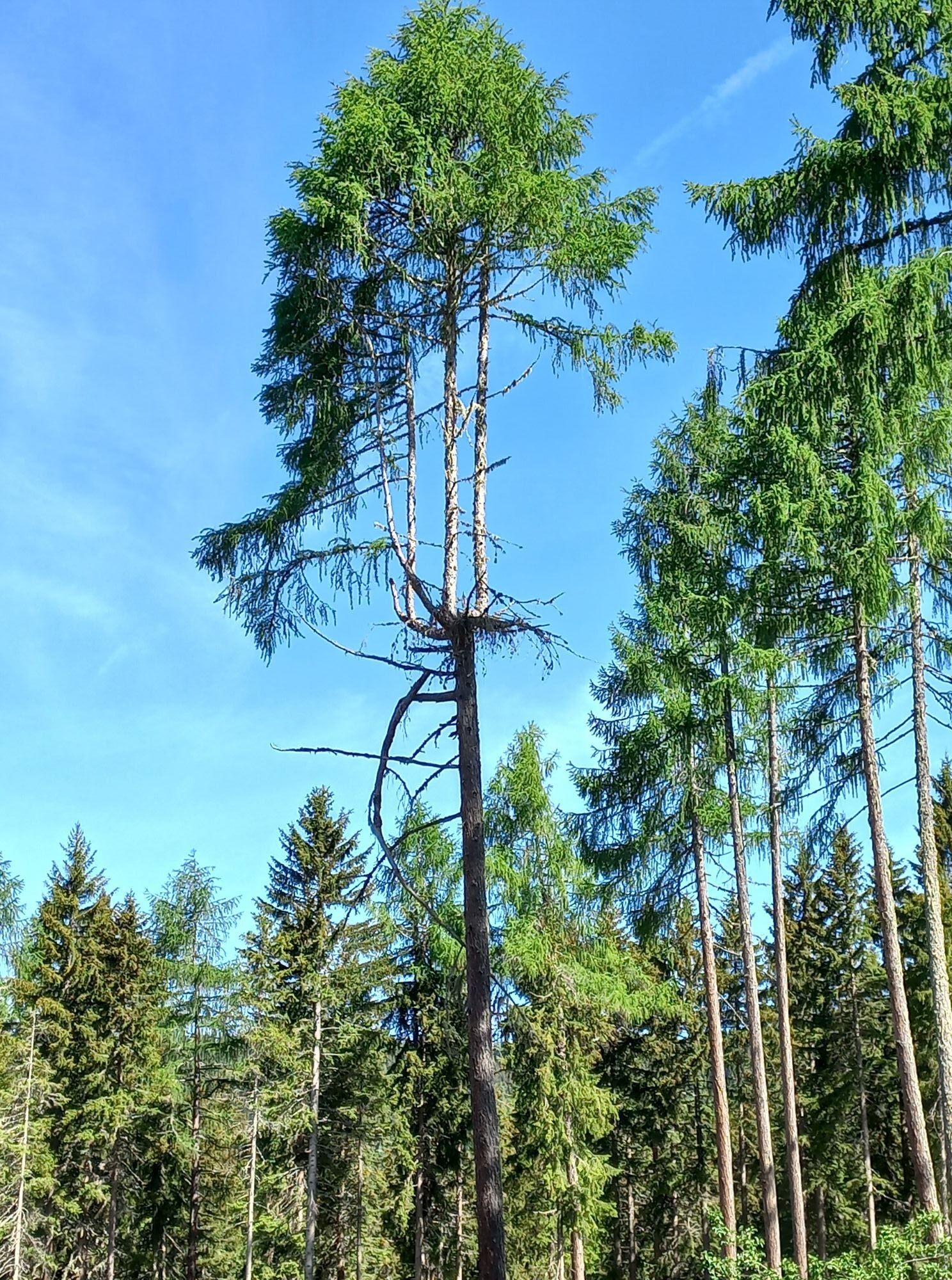
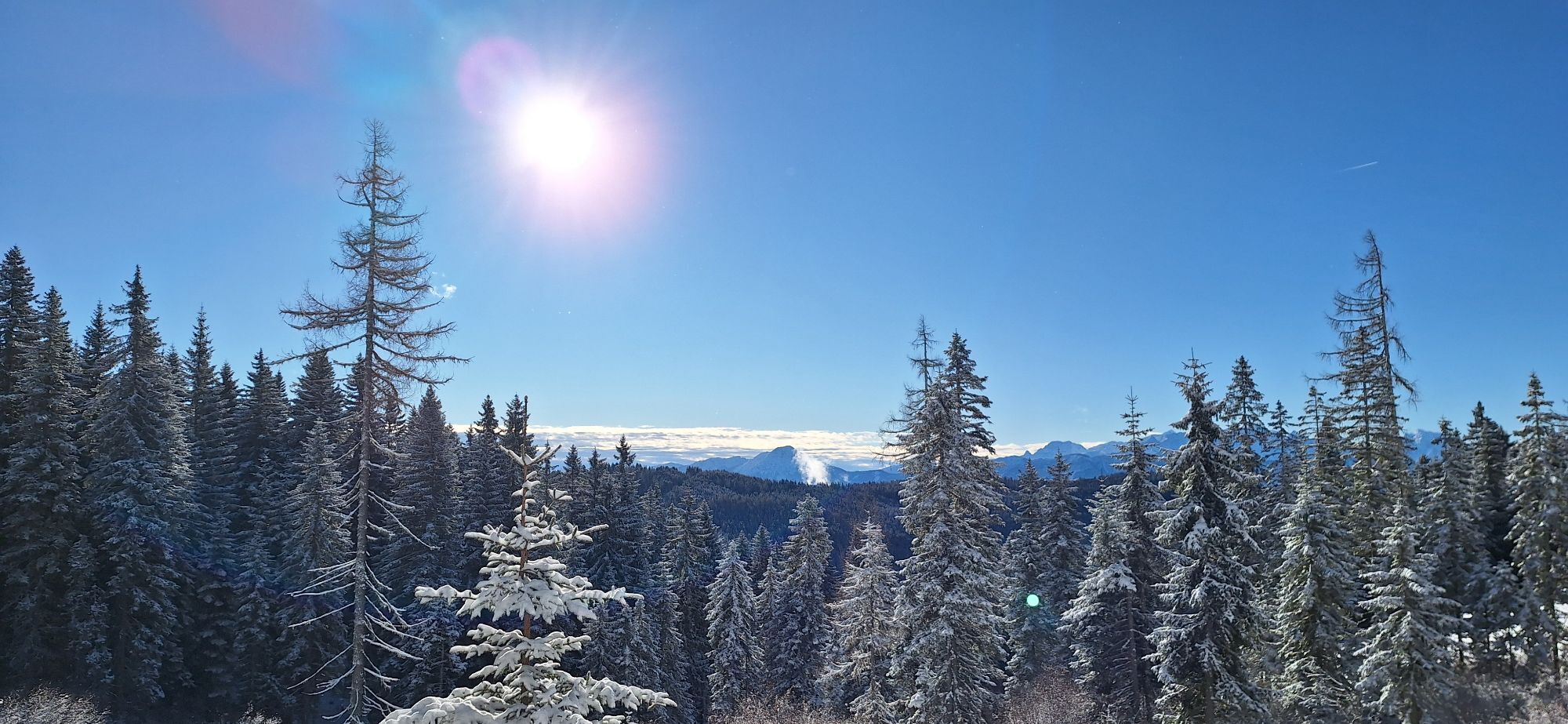

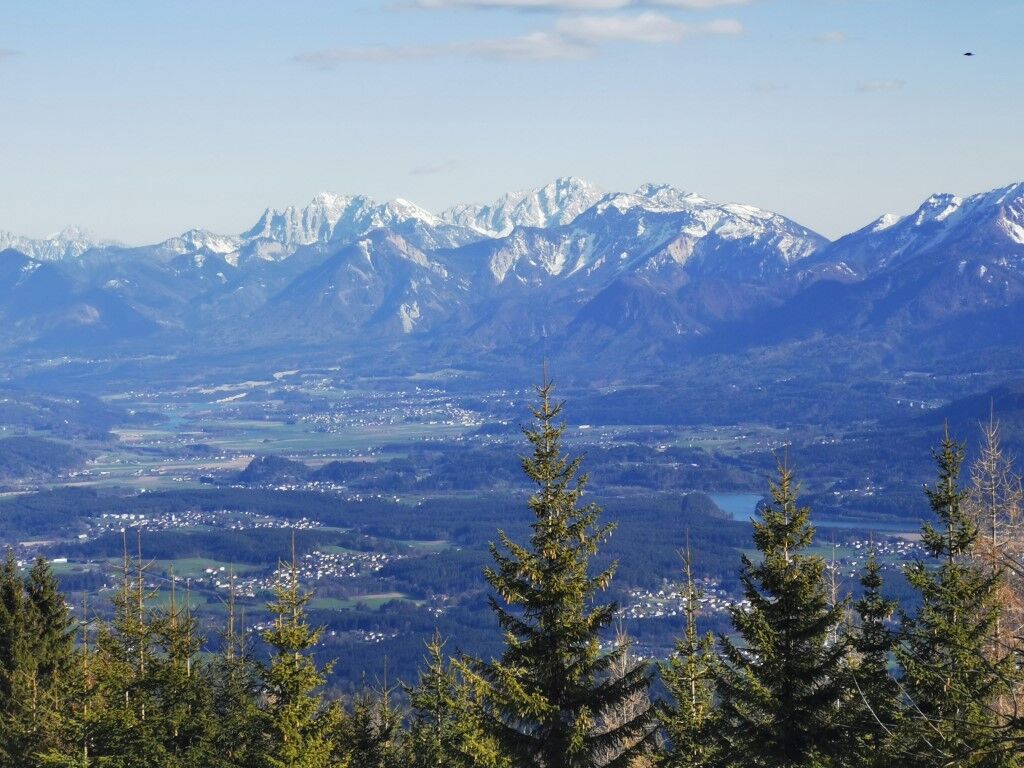
The route uses a section of the Salzsteigweg as an ascent to the Steinwenderhütte and the upper part of the popular Hüttersteig for the descent. The rather quiet ascent passes old mountain farms and is...
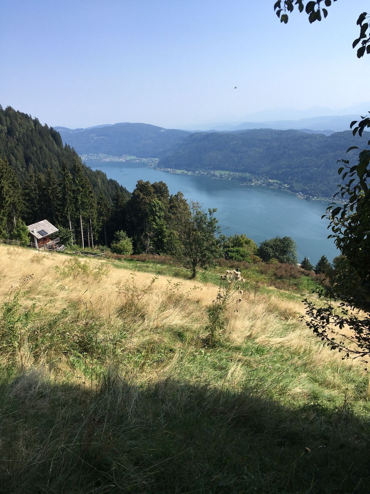
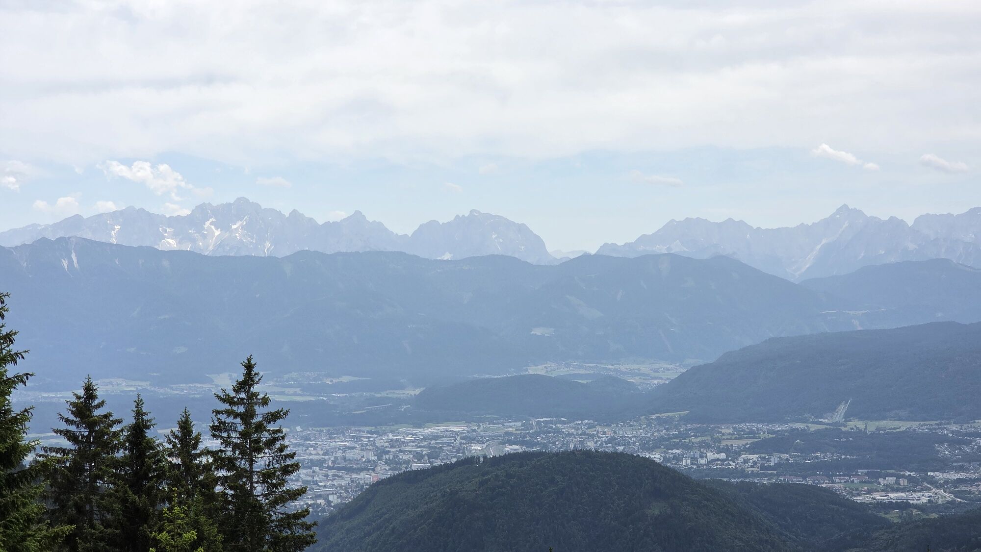
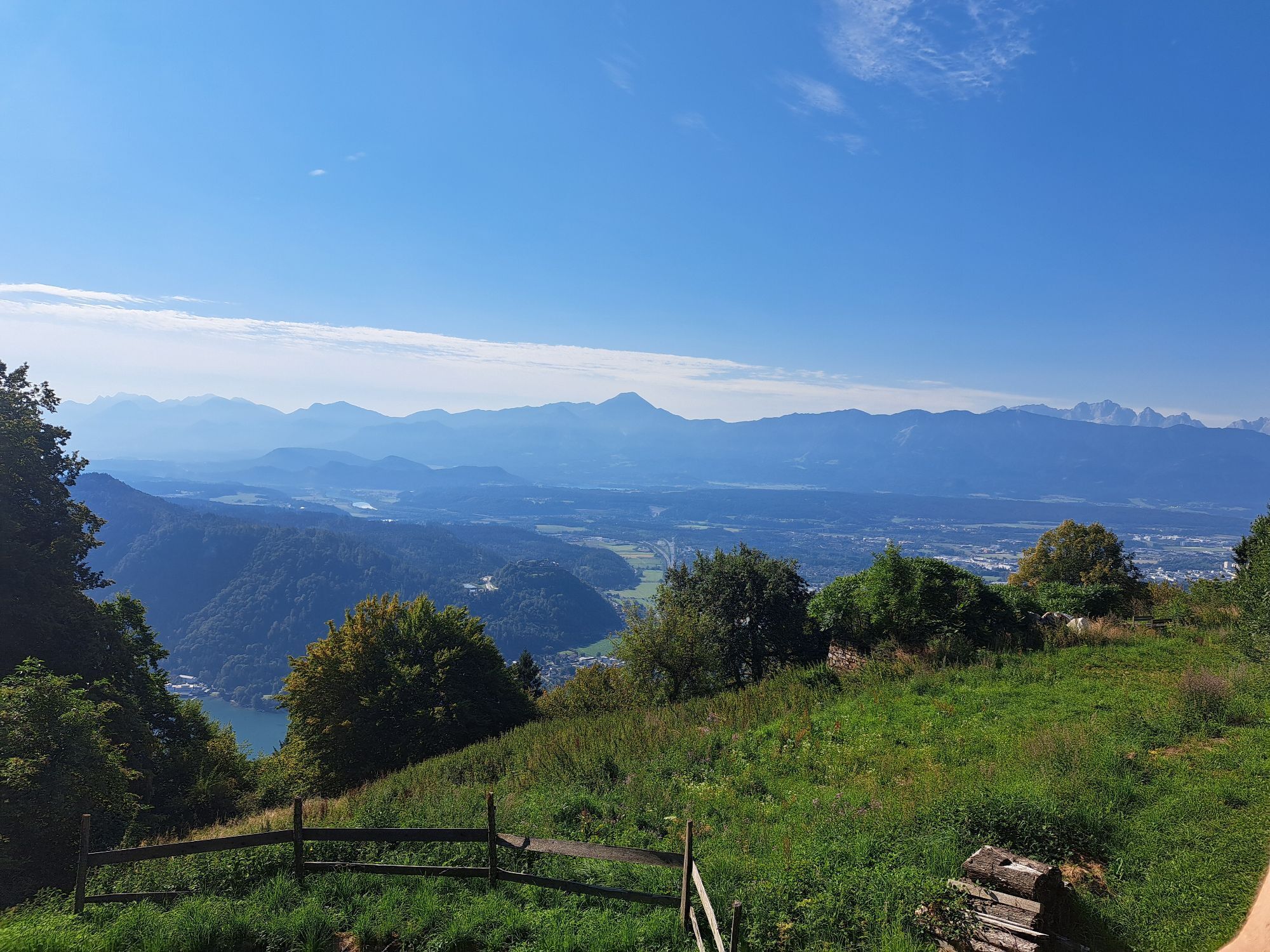
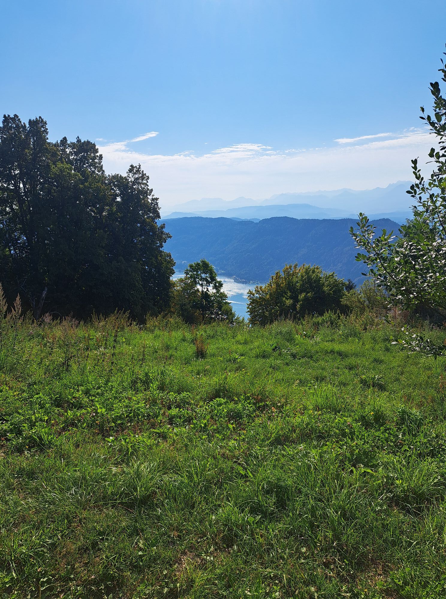
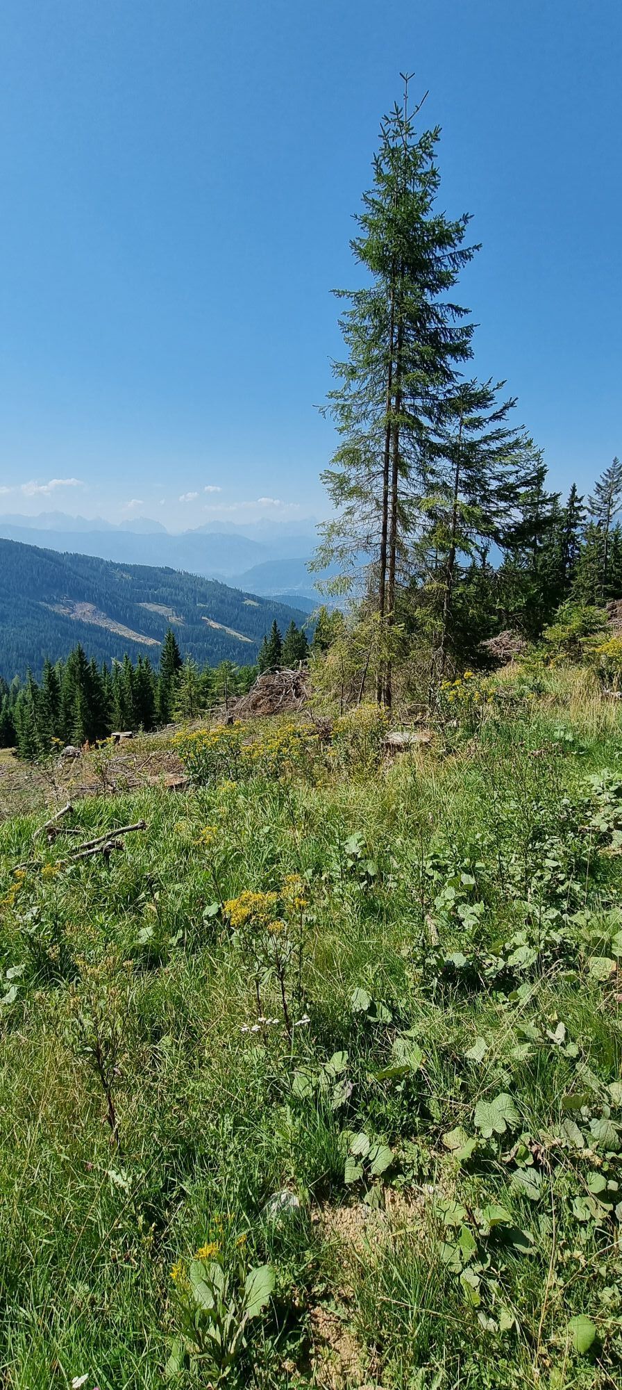
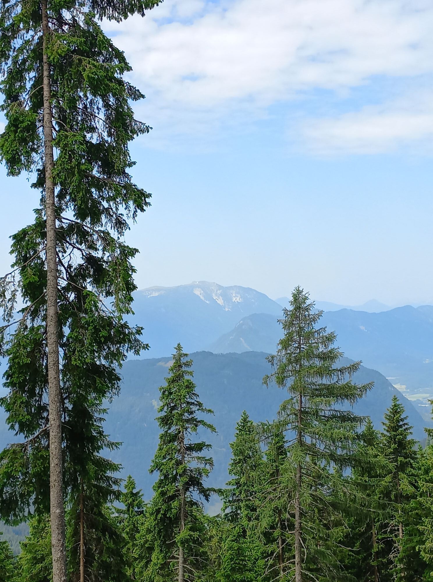
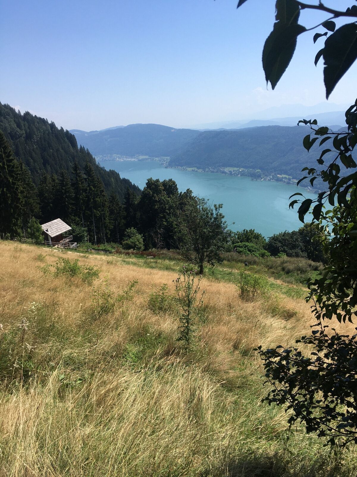
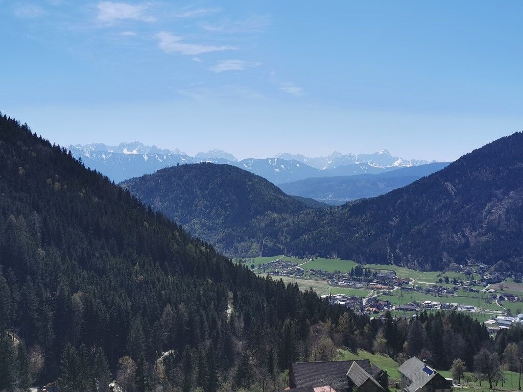
The route uses a section of the Salzsteigweg as an ascent to the Steinwenderhütte and the upper part of the popular Hüttersteig for the descent. The rather quiet ascent passes old mountain farms and is complemented by beautiful views up to the Julian Alps.
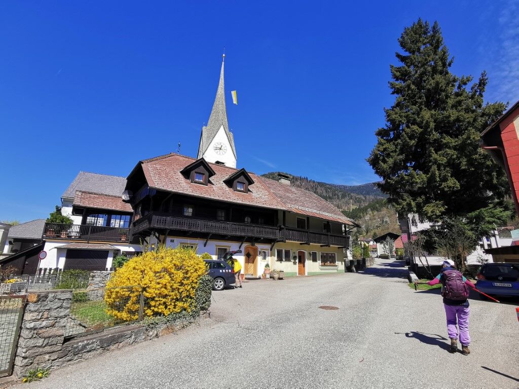

Starting at the market square in front of the market town Treffen on Lake Ossiach, follow the Marktstraße slightly uphill (trail no. 109) towards the Steinwenderhütte. At the Mühlenweg, you cross the Treffner Bach and then merge into the Gerlitzenstraße. Follow it downhill and before crossing the stream again, turn off onto the initially steep forest path.
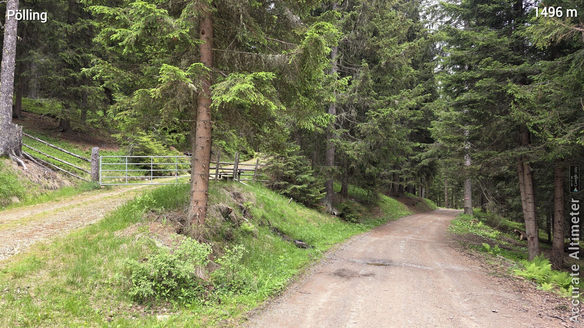
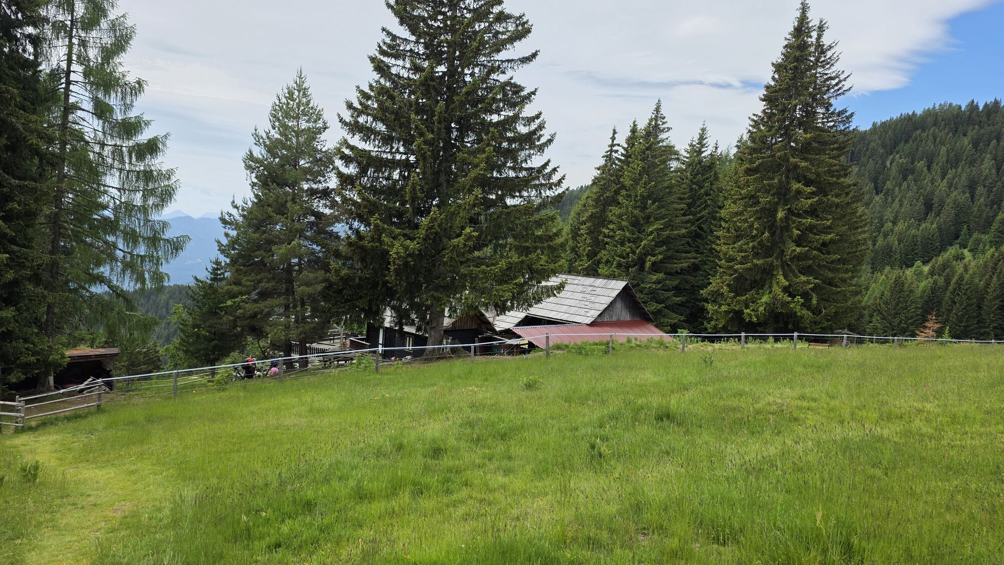
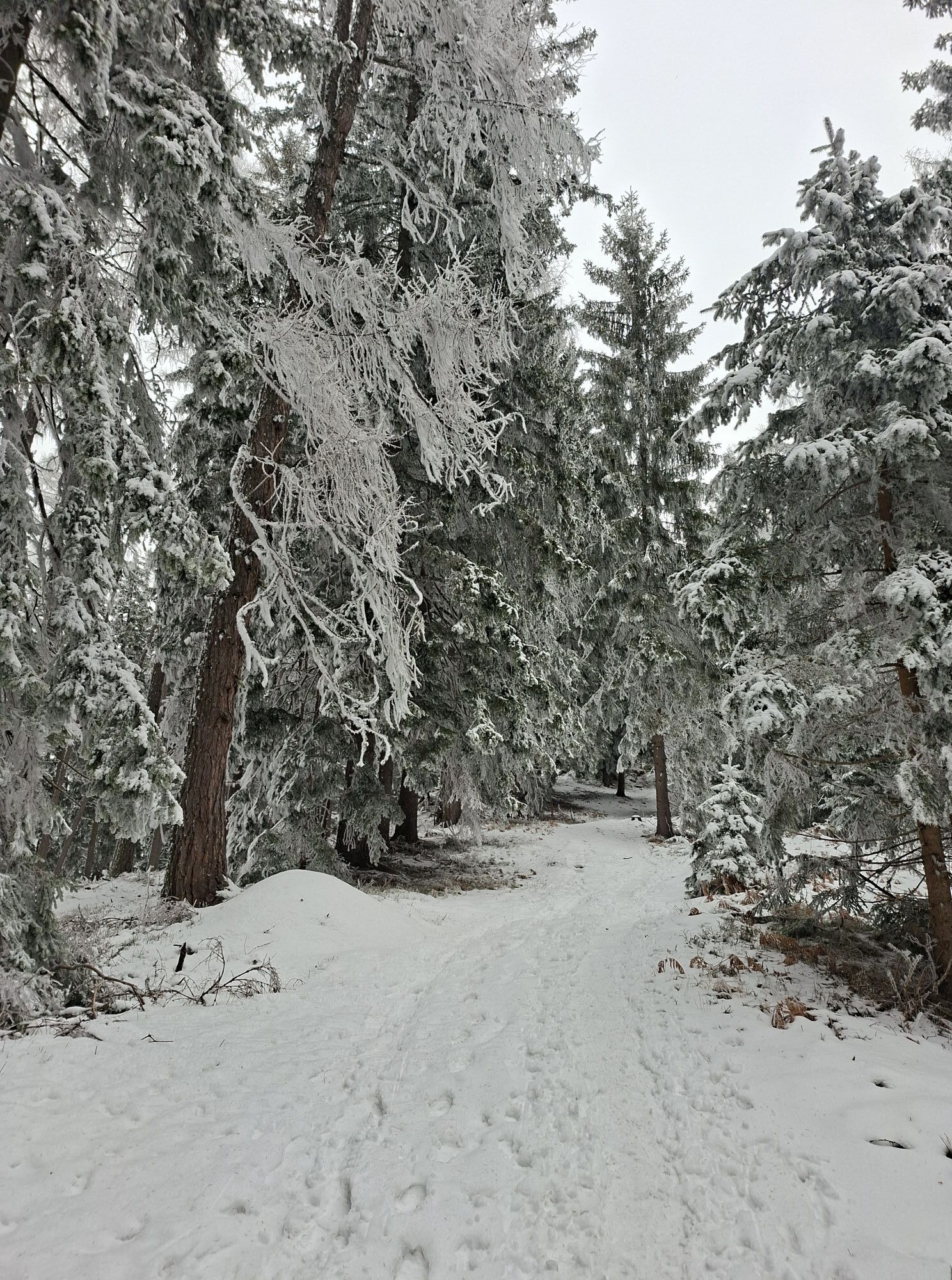
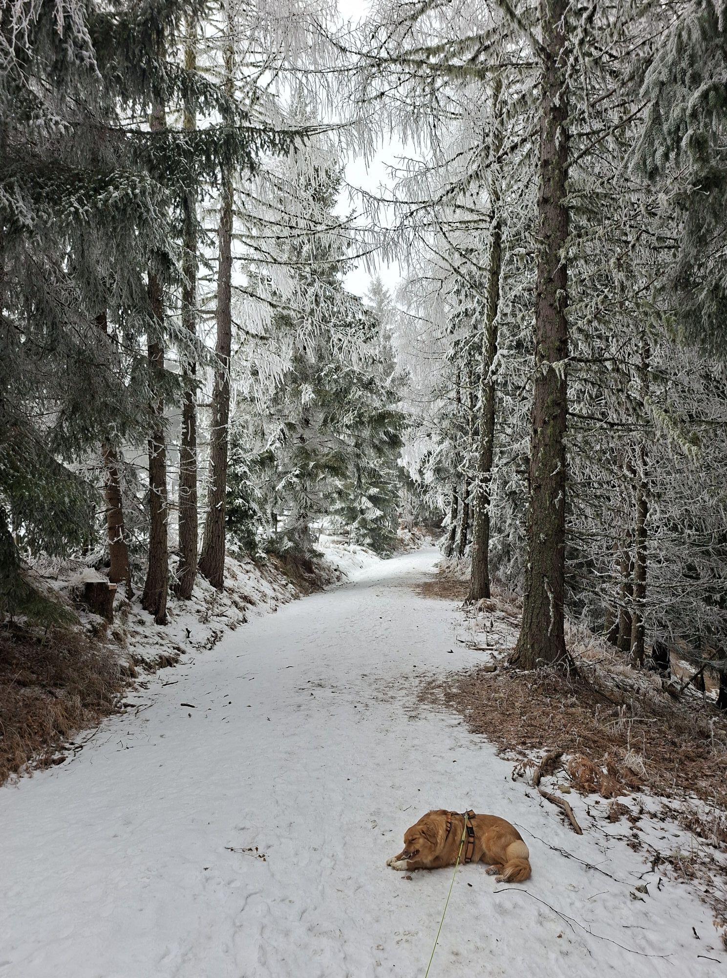
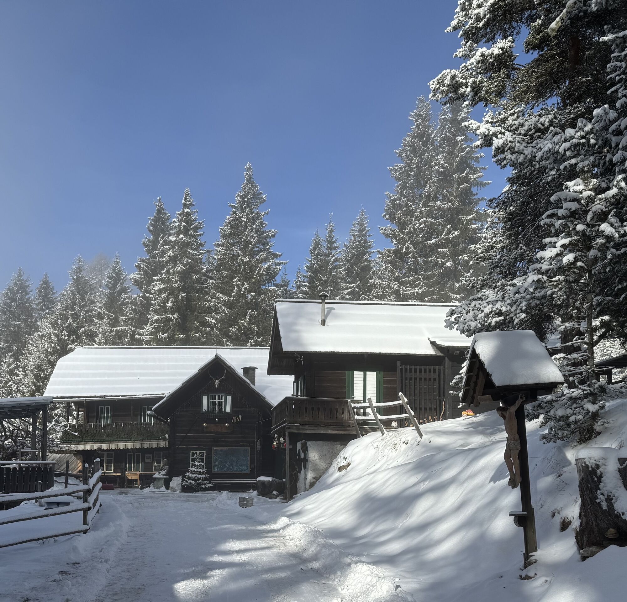
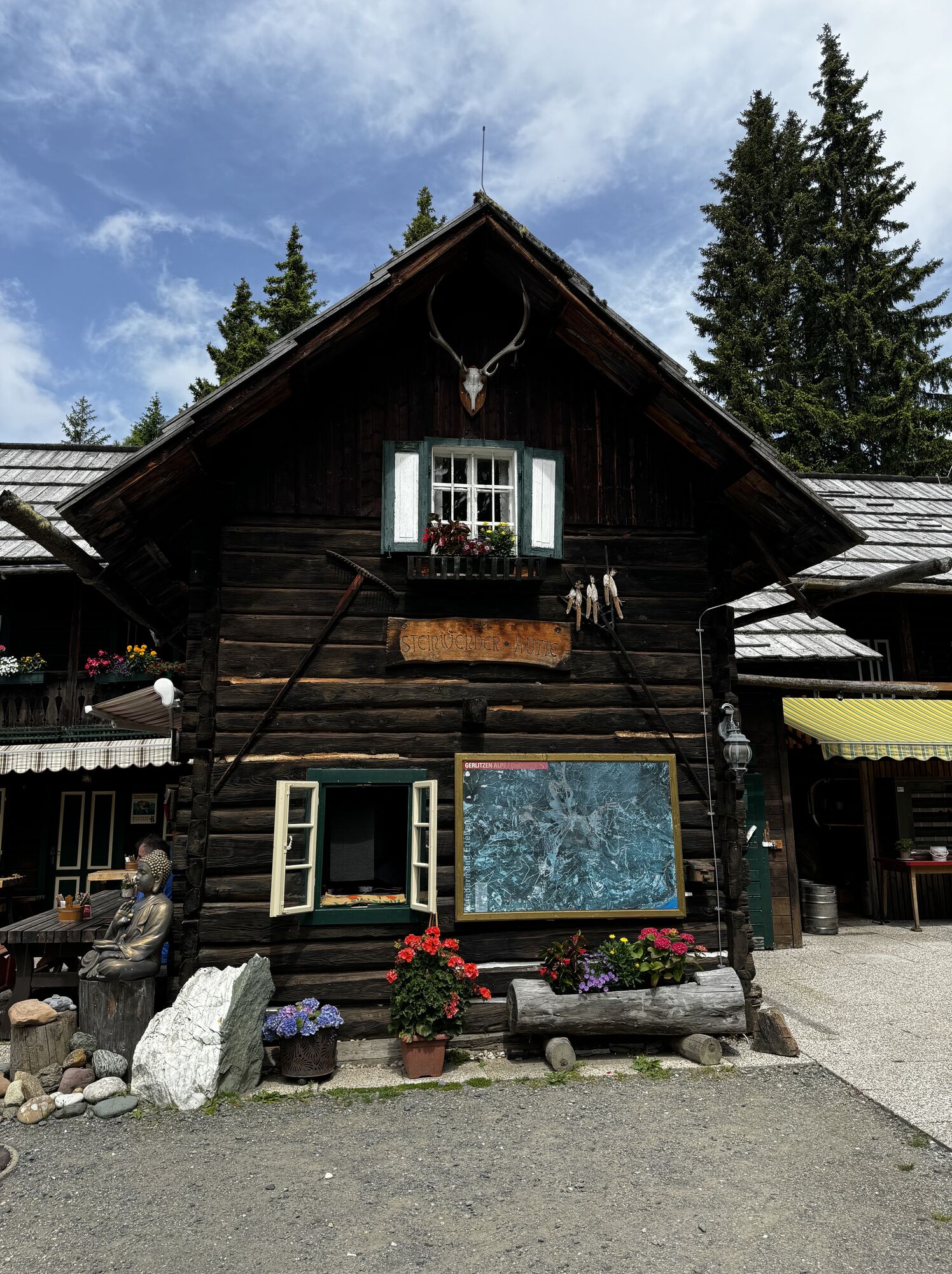
Next, you hike through Pölling passing the farms "Baumgartner", "Wieser", and "Steinwender". From the "Steinwender" farmstead, the steepness of the trail eases somewhat. On pleasant forest paths, you follow and cross forestry roads and reach the Steinwenderhütte after about 2 3/4 hours (from Treffen).
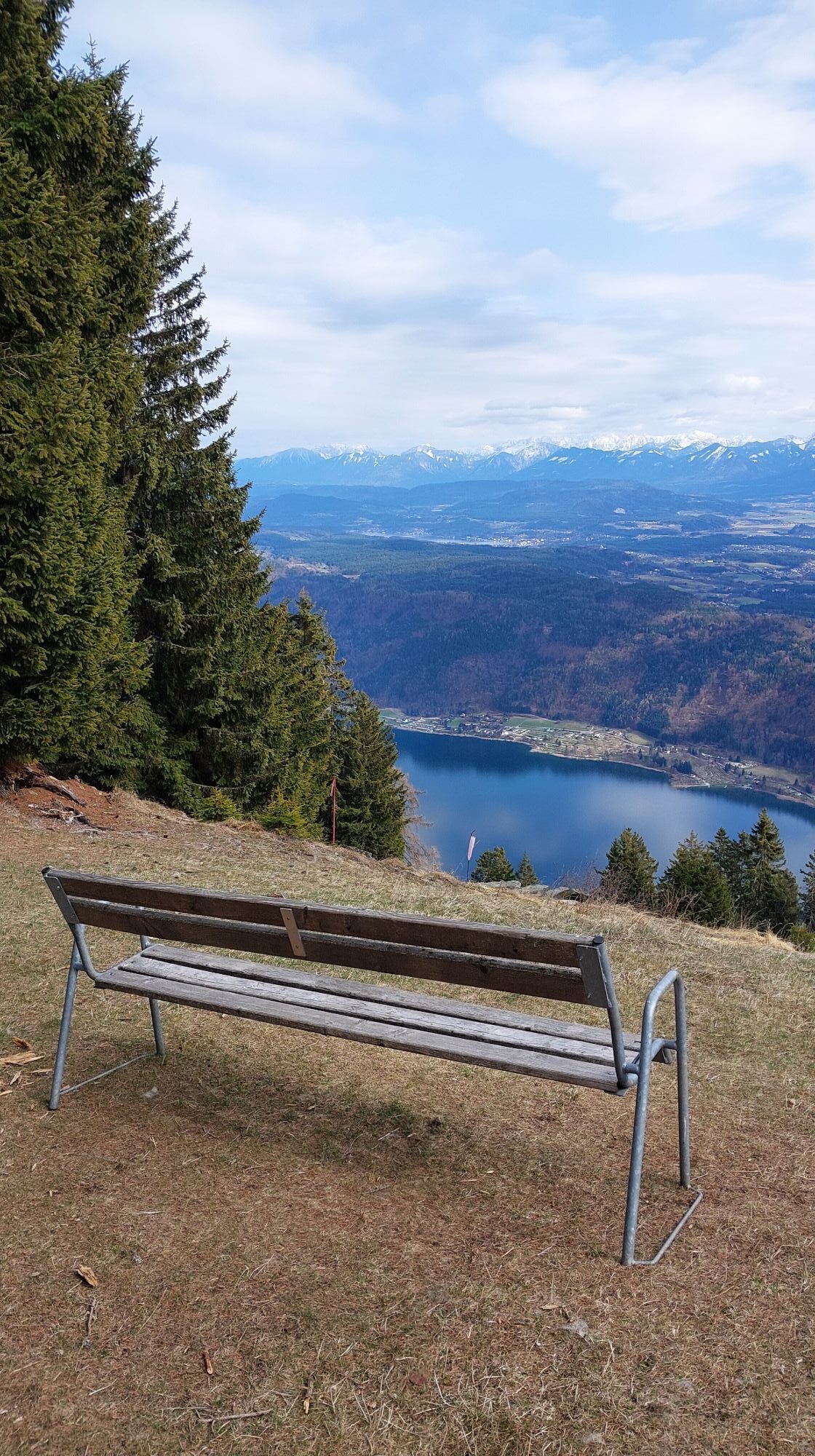
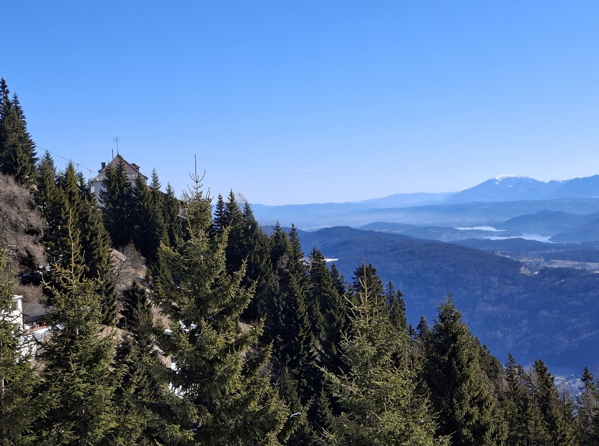
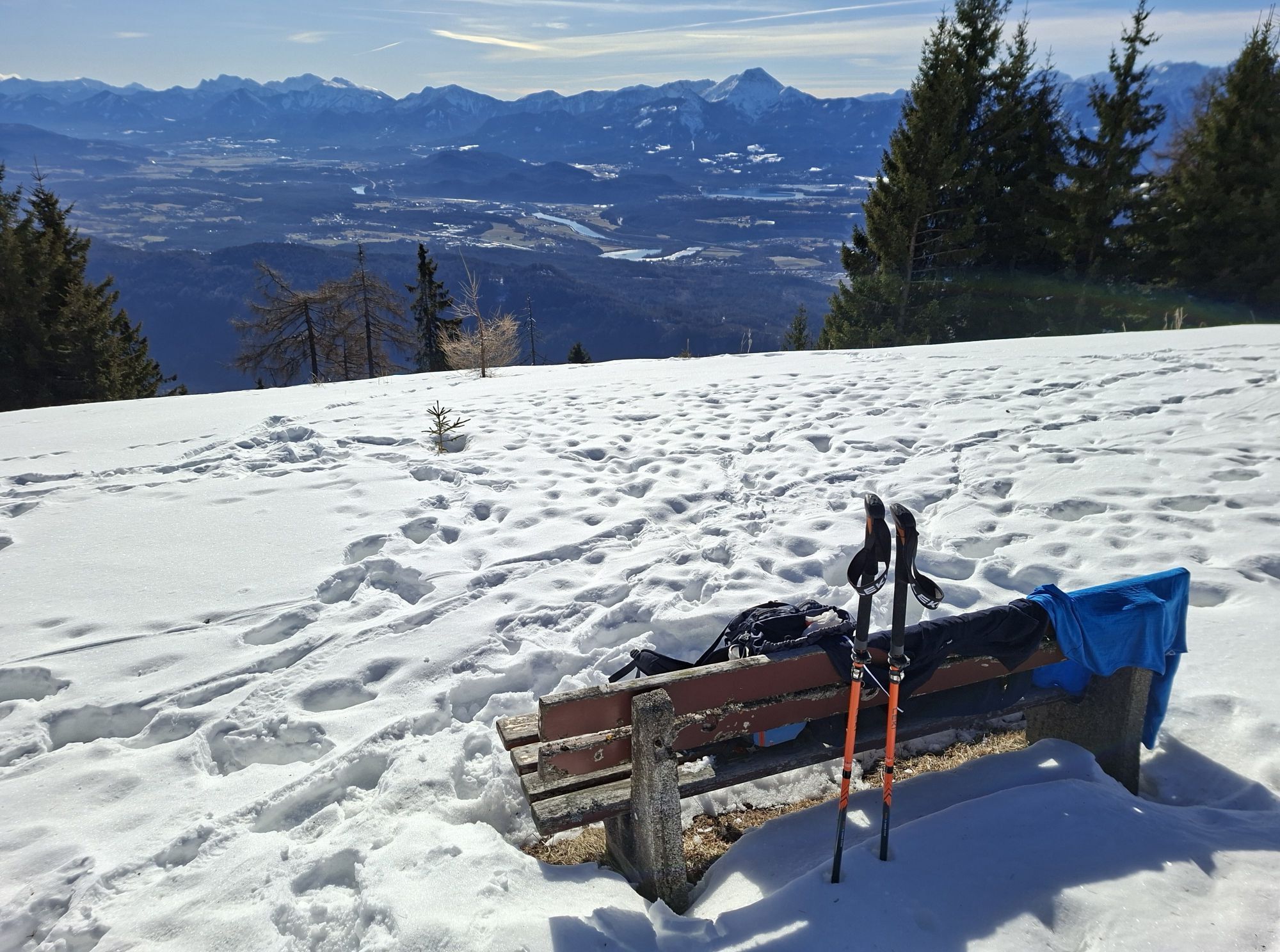
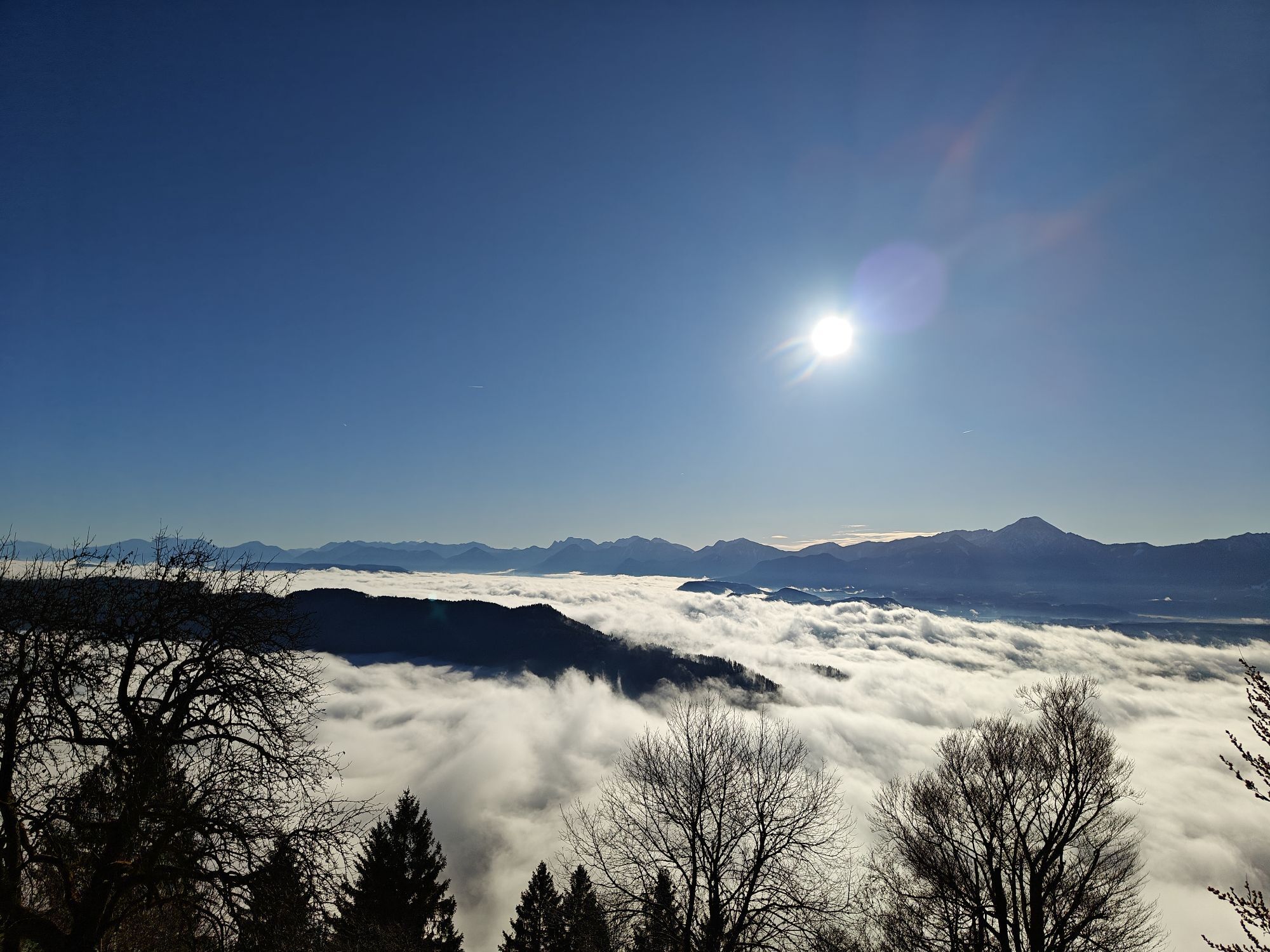
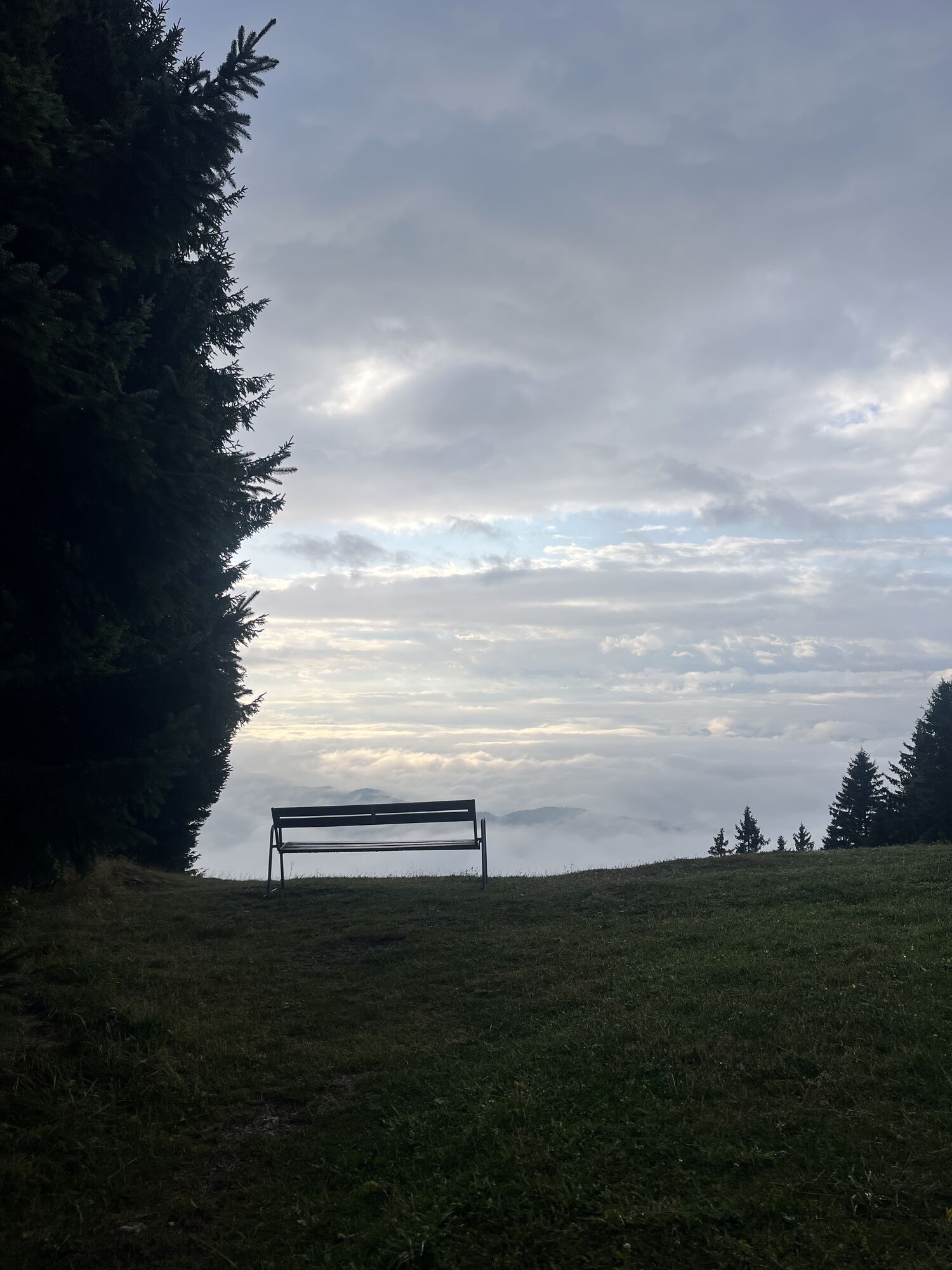
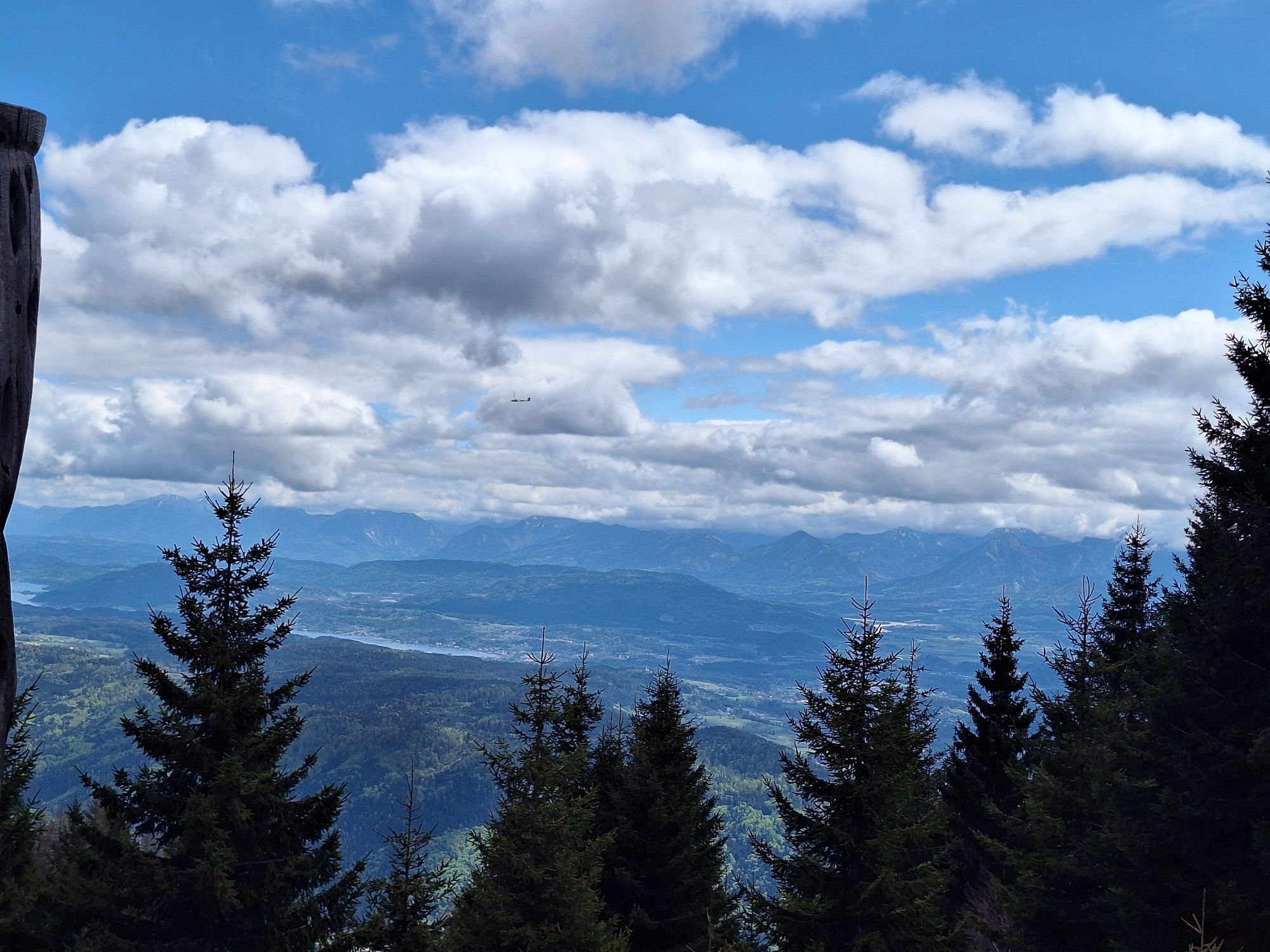
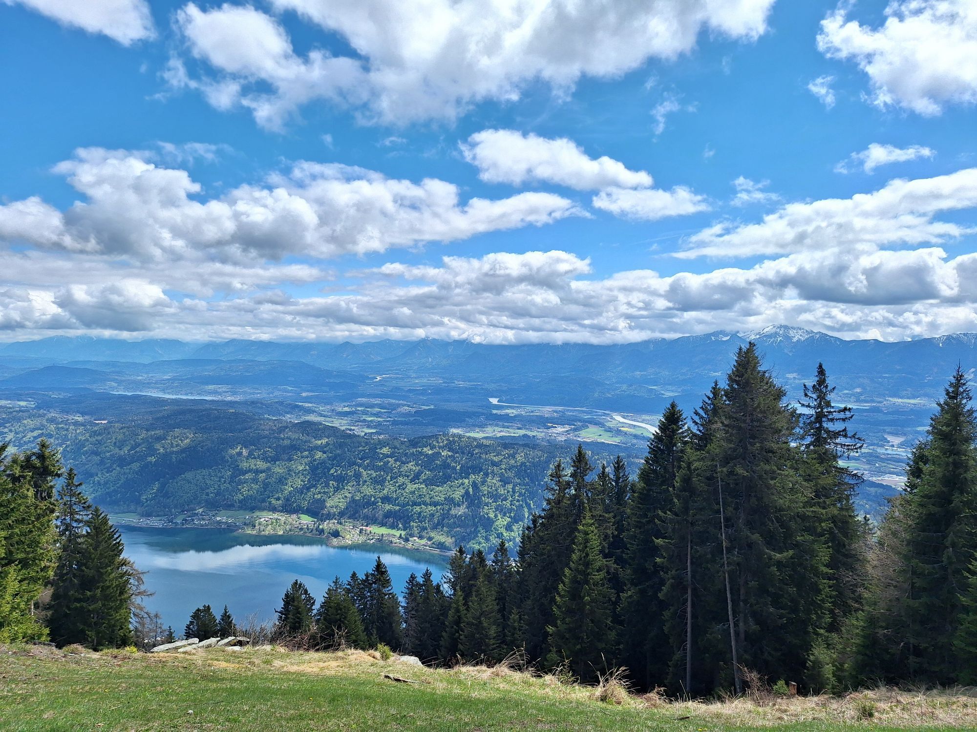
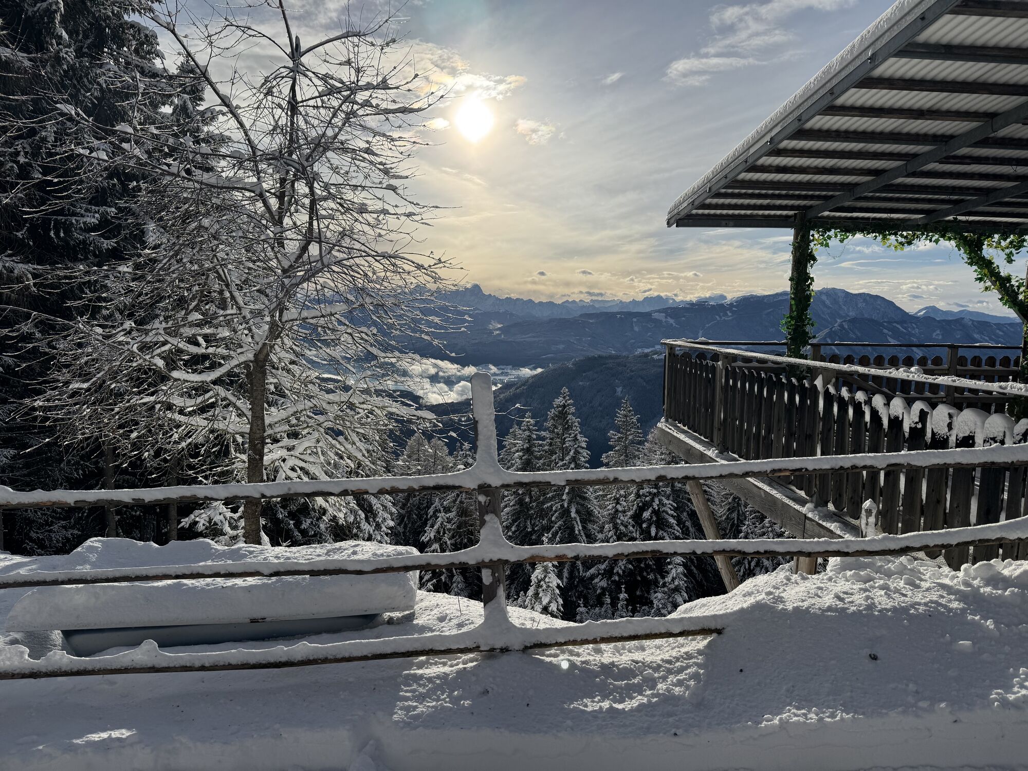
After a well-deserved and especially culinary break, the round trip leads without significant elevation changes to the Waldtratte (trail no. 31) at the top station of the Kanzelbahn. At the top station, you can follow either the road or the parallel hiking trail to the parking lot at Kanzelhöhe in 15 minutes.
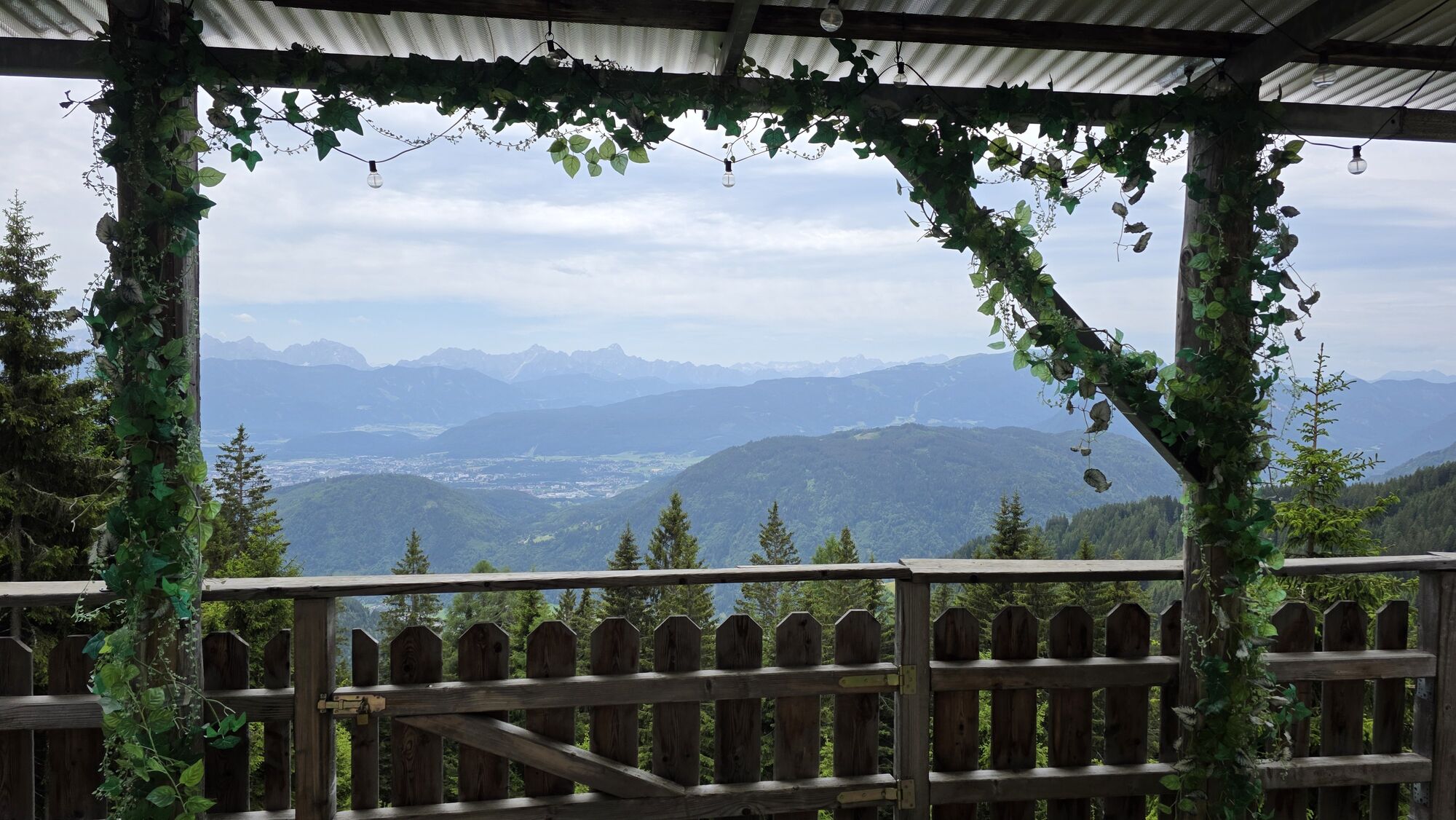
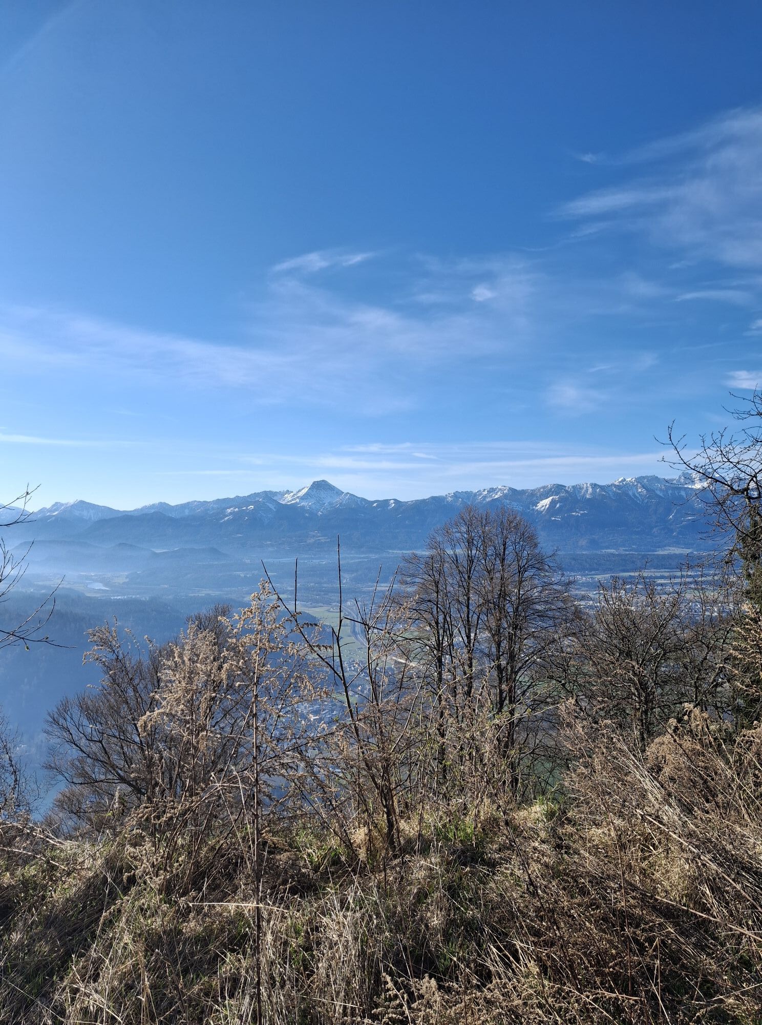
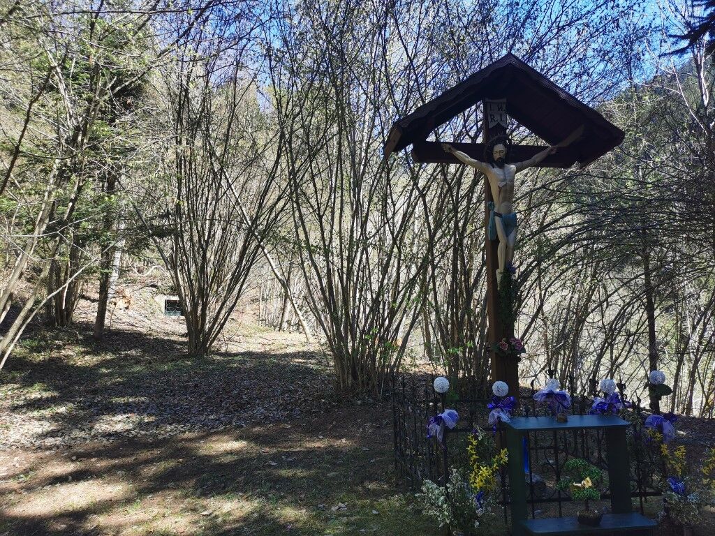
Here, keep right and follow the road towards Kanzel (trail no. 176). Before the challenging and long descent begins, you can stop again at the Edelweisswirt. After some pleasant flat sections on the forestry road, the Hüttersteig turns finally downhill at the Julienhöhe at 1,366 m above sea level.
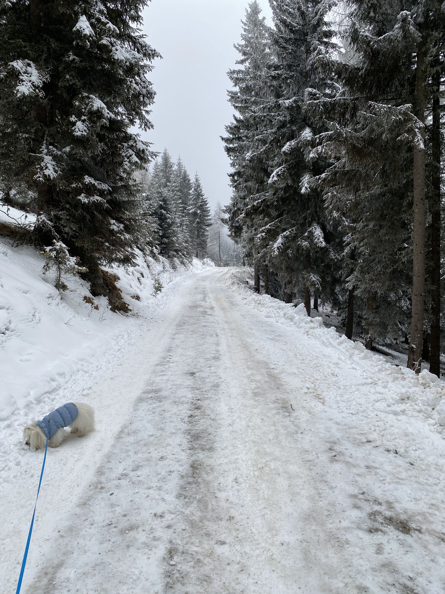
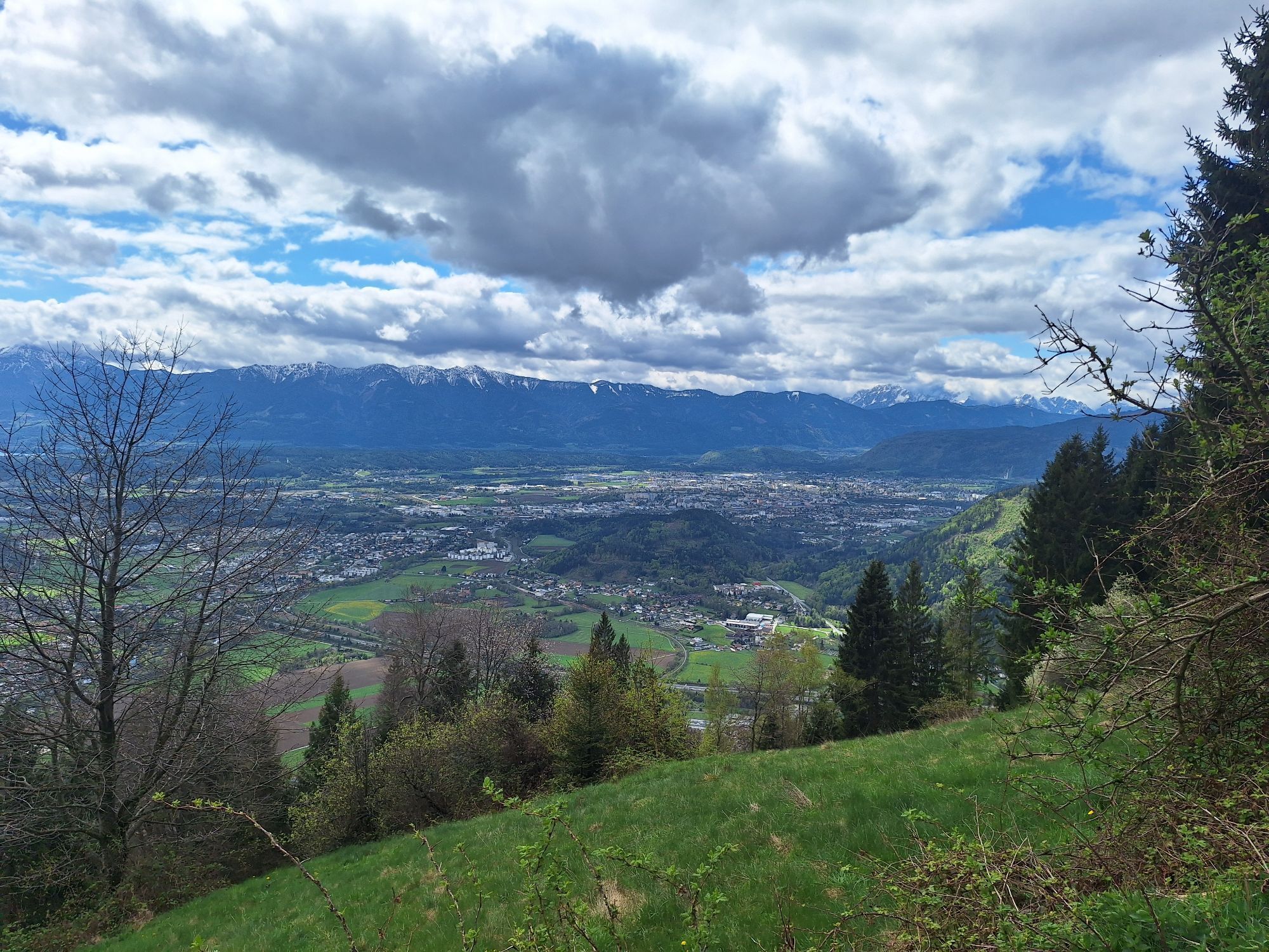
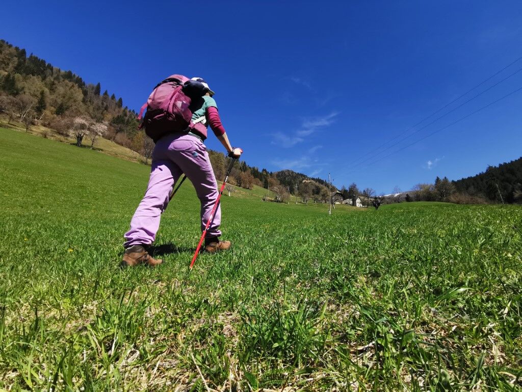
At the former hunting lodge Hütter, follow the forestry road to the junction Annenheim and Treffen. Stay on the forestry road (trail no. 3) which leads into the Gerlitzenstraße. Descending downhill along the toll road, a few minutes after the right-hand bend you reach the junction "Jägersteig - Treffen". Via the Treffner Jägersteig (trail no. 3 and 2), you continue the last section to Treffen and return via the Franz Steiner Weg and again the Marktstraße to the starting point.
After this round, a visit to the Treffen parish church St. Maximilian is recommended where you can calmly review the impressions of this hike.
Hiking boots with profiled sole, backpack, functional underwear, rainwear, hiking sticks, food and drink, maps, first aid kit, mobile phone
Treffen is best reached via the A10 exit "Villach-Ossiacher See". At the roundabout, follow the B98 Millstätter Straße towards Treffen.
Annenheim can be reached regularly by public transport.
There are enough parking spaces available around the market town of Treffen.
T2
Discover the Steinwenderhütte, one of the oldest managed huts on the Gerlitzen and the many other HüttenKult huts (www.huettenkult.at).
Oblíbené prohlídky v okolí
- 4,7
4 Huts route
středníTuristika 8,96 km - 4,4
Finsterbach Waterfalls - Circular route
středníTuristika 3,87 km - 4,5
Lake circular trail
světloNordic Walking 9,85 km - 4,1
Slow Trail Bleistätter Moor (Variant A)
světloTuristika 7,22 km - 5,0
Amberg: Palnock 1901m, Schwarzsee, Rundstrecke
středníTuristika 7,94 km - 4,1
Schwarzsee circular hiking trail
středníTuristika 7,79 km - 4,9
Skitour: FIS K70, Auf Franz Klammers Spuren
středníLyžařská trasa 11,3 km - 3,9
Lake Ossiacher See cycle path – R2 & R2A
středníJízda na kole 28,2 km - 4,5
Wasserfälle
středníTuristika 2,48 km - 4,0
Gerlitzen - Hüttersteig
heavyTuristika 6,80 km
Pěší turistika a stopování


Nenechte si ujít nabídky a inspiraci pro vaši příští dovolenou
Vaše e-mailová adresa byl přidán do poštovního seznamu.